Detailed Map of Hometown, West Virginia
A detailed map of Hometown, West Virginia, showing every building in its true location, the roads by name, and shaded topographical relief.
Read More
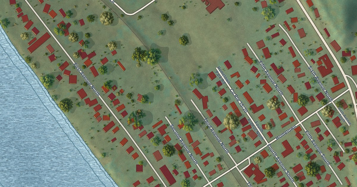
A detailed map of Hometown, West Virginia, showing every building in its true location, the roads by name, and shaded topographical relief.
Read More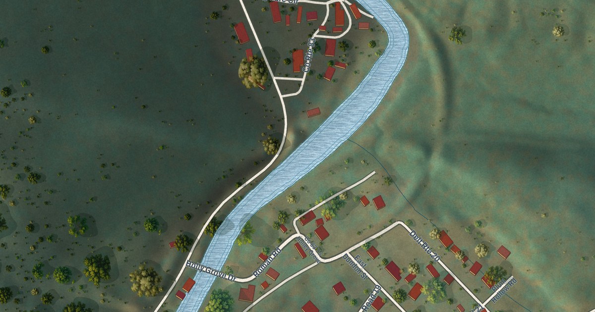
A detailed map of Hollygrove, West Virginia, showing every building in its true location, the roads by name, and shaded topographical relief.
Read More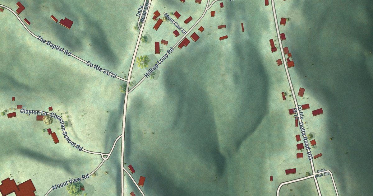
A detailed map of Hilltop, West Virginia, showing every building in its true location, the roads by name, and shaded topographical relief.
Read More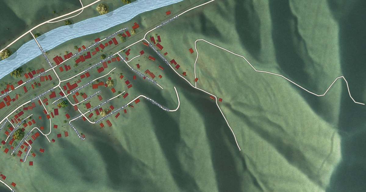
A detailed map of Henlawson, West Virginia, showing every building in its true location, the roads by name, and shaded topographical relief.
Read More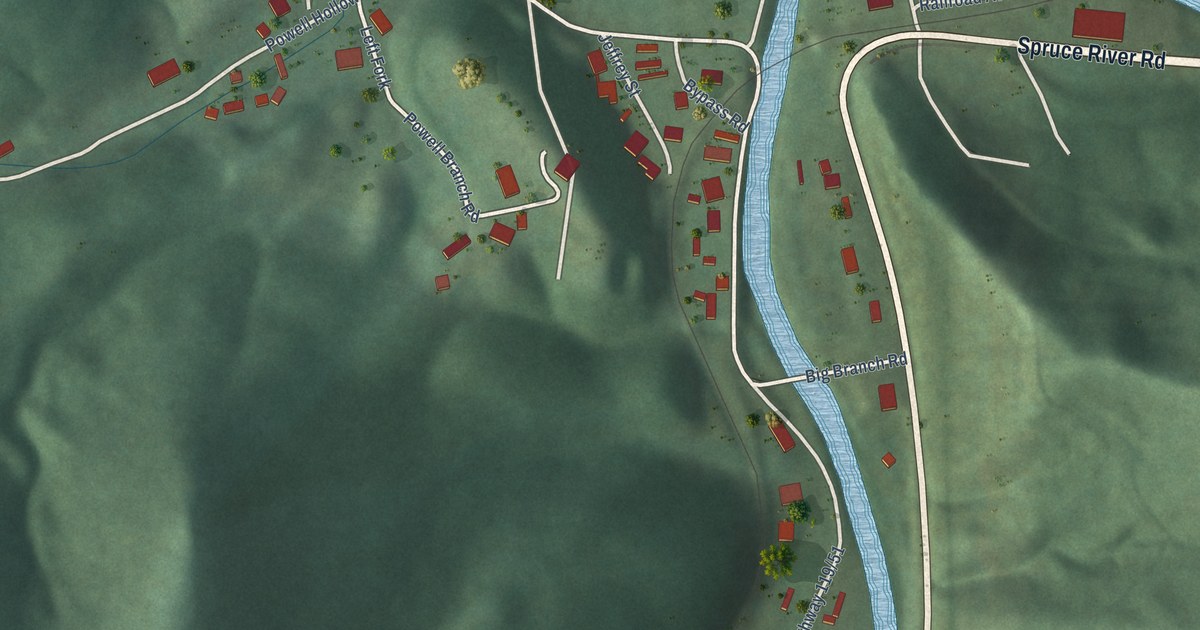
A detailed map of Greenview, West Virginia, showing every building in its true location, the roads by name, and shaded topographical relief.
Read More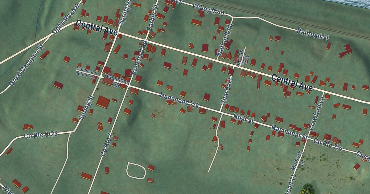
A detailed map of Great Cacapon, West Virginia, showing every building in its true location, the roads by name, and shaded topographical relief.
Read More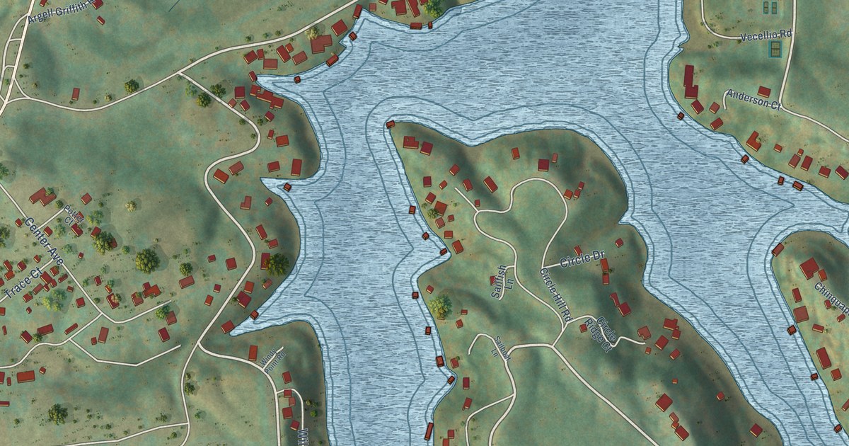
A detailed map of Ghent, West Virginia, showing every building in its true location, the roads by name, and shaded topographical relief.
Read More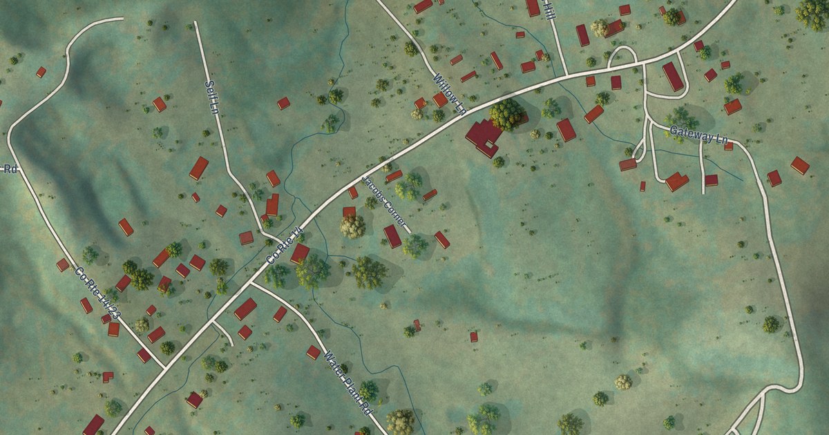
A detailed map of Gatewood, West Virginia, showing every building in its true location, the roads by name, and shaded topographical relief.
Read More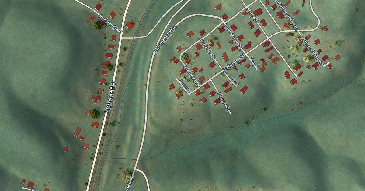
A detailed map of Eccles, West Virginia, showing every building in its true location, the roads by name, and shaded topographical relief.
Read More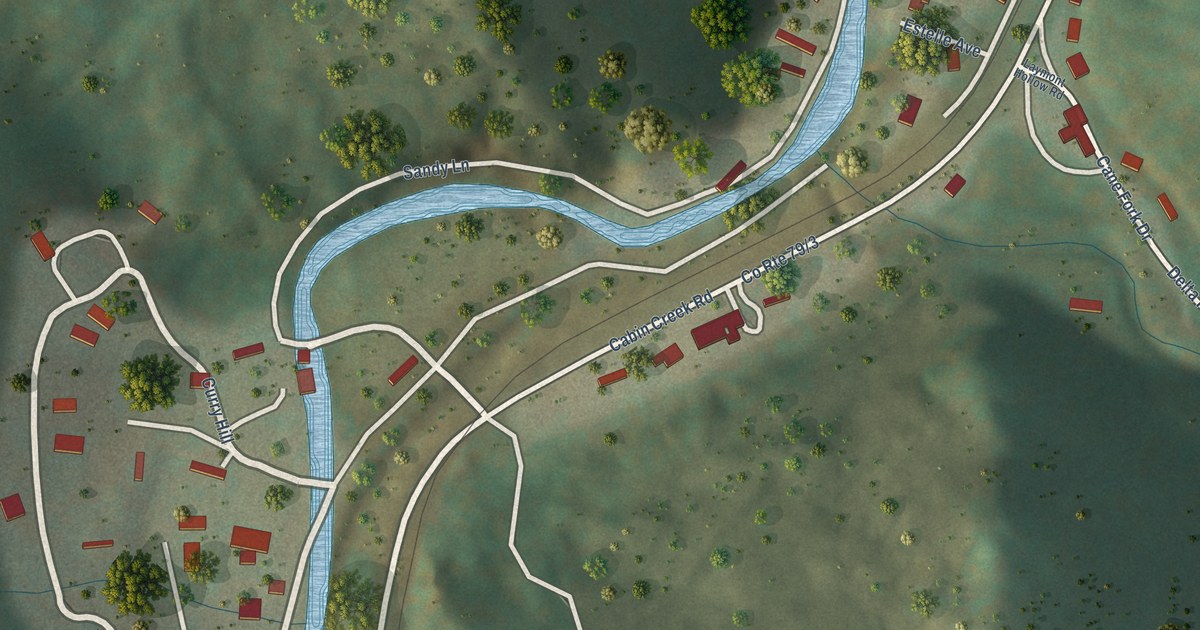
A detailed map of Eskdale, West Virginia, showing every building in its true location, the roads by name, and shaded topographical relief.
Read More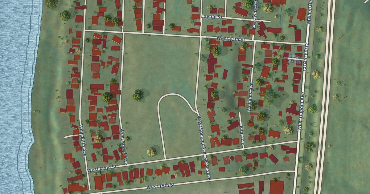
A detailed map of Dupont City, West Virginia, showing every building in its true location, the roads by name, and shaded topographical relief.
Read More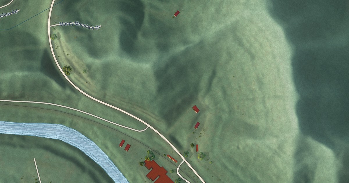
A detailed map of Crum, West Virginia, showing every building in its true location, the roads by name, and shaded topographical relief.
Read More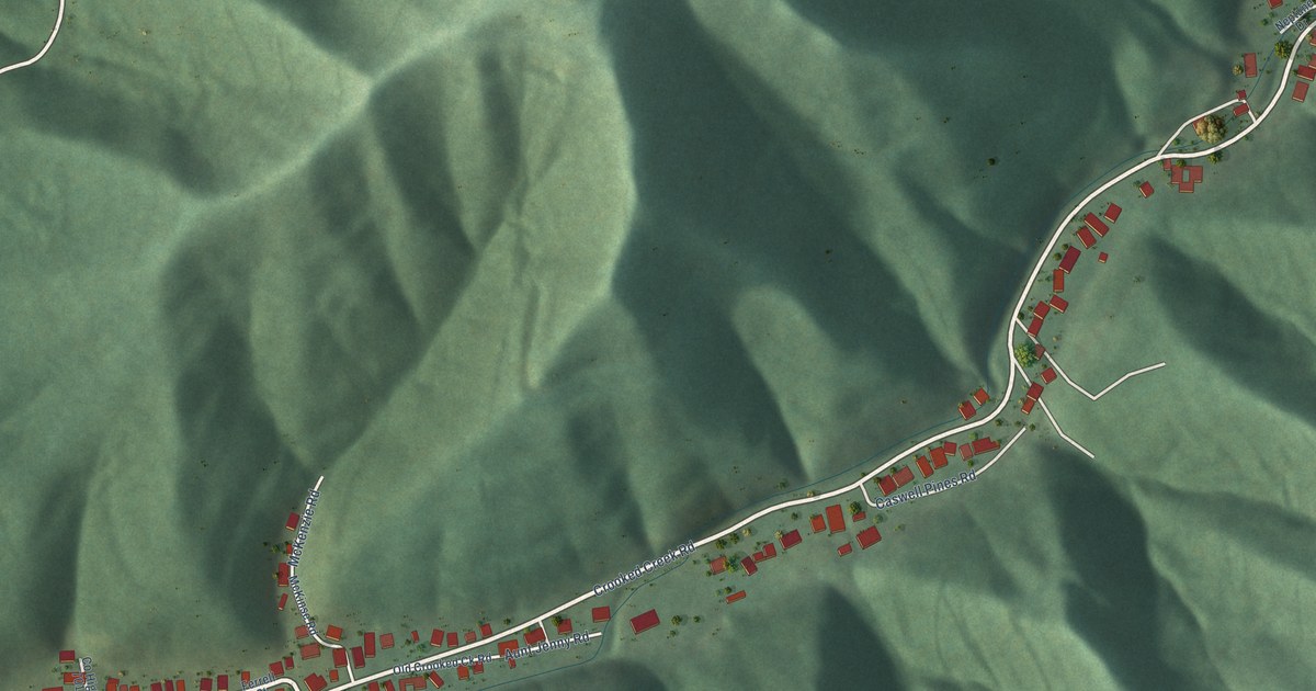
A detailed map of Crooked Creek, West Virginia, showing every building in its true location, the roads by name, and shaded topographical relief.
Read More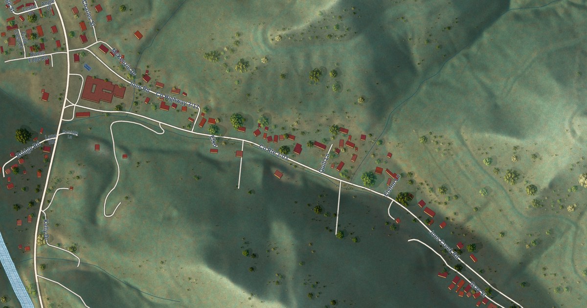
A detailed map of Comfort, West Virginia, showing every building in its true location, the roads by name, and shaded topographical relief.
Read More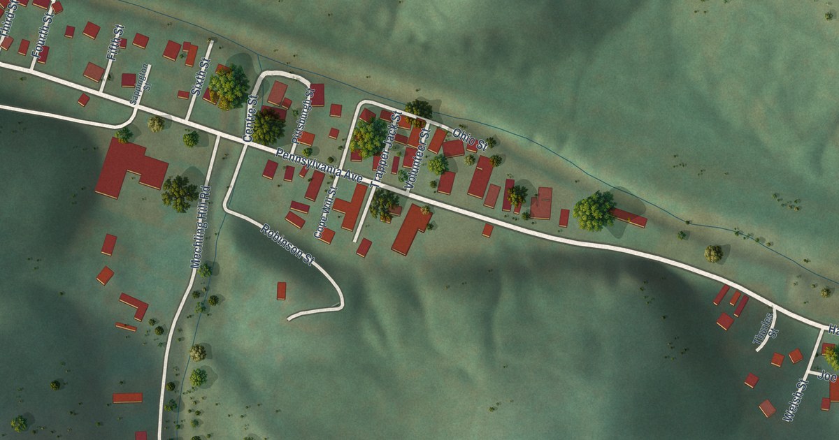
A detailed map of Colliers, West Virginia, showing every building in its true location, the roads by name, and shaded topographical relief.
Read More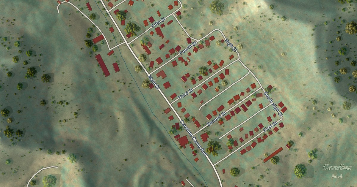
A detailed map of Carolina, West Virginia, showing every building in its true location, the roads by name, and shaded topographical relief.
Read More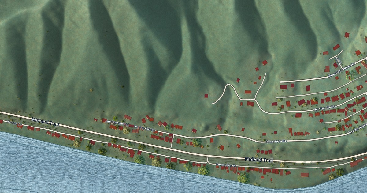
A detailed map of Charlton Heights, West Virginia, showing every building in its true location, the roads by name, and shaded topographical relief.
Read More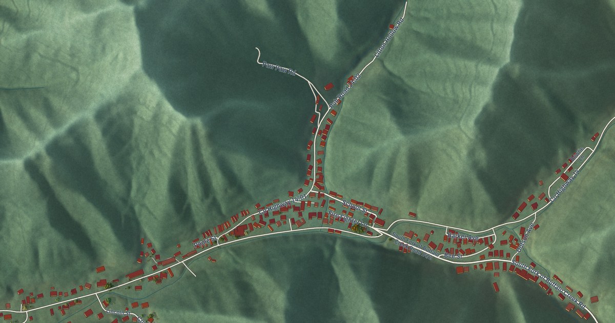
A detailed map of Chattaroy, West Virginia, showing every building in its true location, the roads by name, and shaded topographical relief.
Read More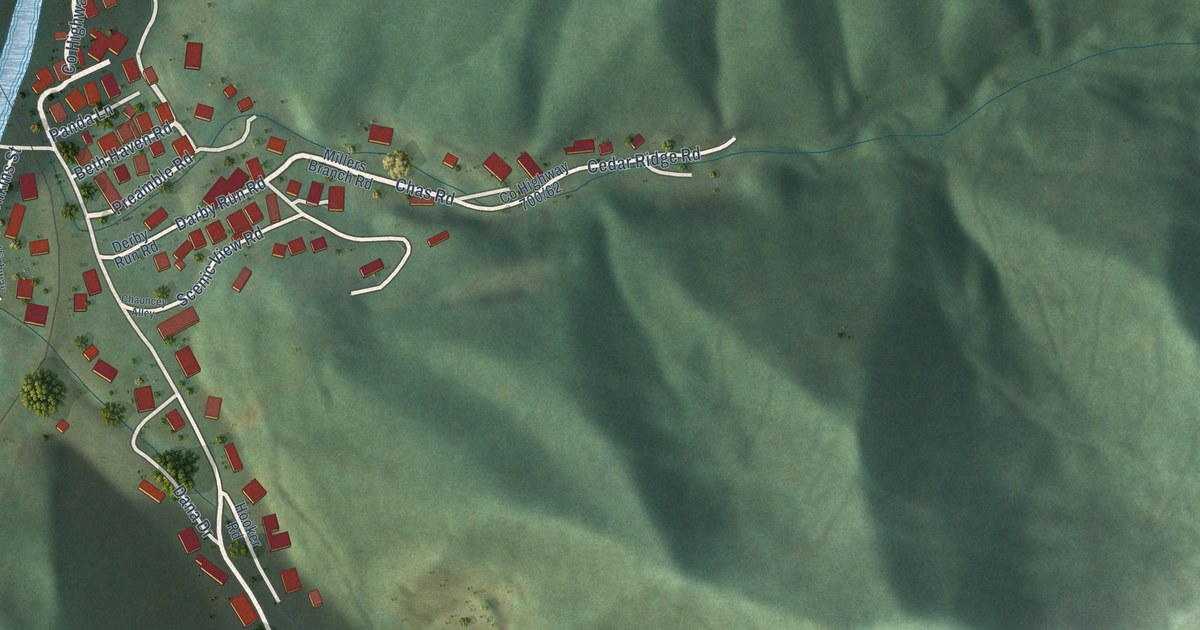
A detailed map of Chauncey, West Virginia, showing every building in its true location, the roads by name, and shaded topographical relief.
Read More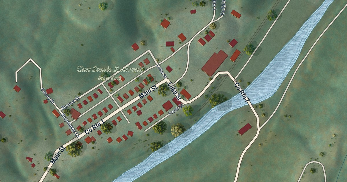
A detailed map of Cass, West Virginia, showing every building in its true location, the roads by name, and shaded topographical relief.
Read More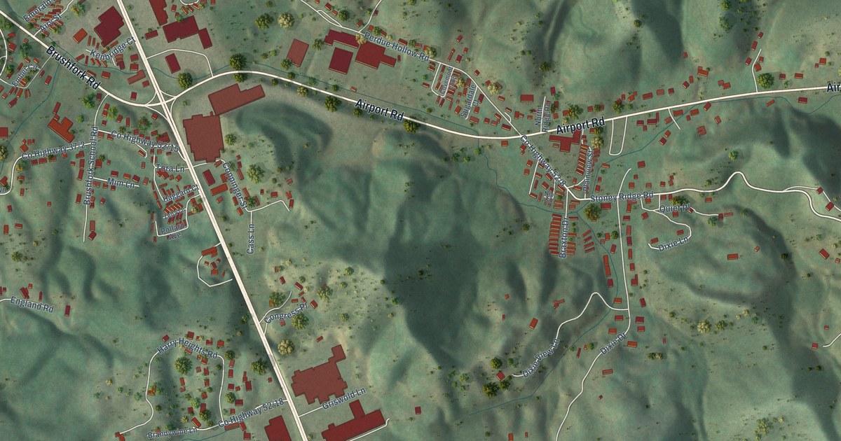
A detailed map of Brush Fork, West Virginia, showing every building in its true location, the roads by name, and shaded topographical relief.
Read More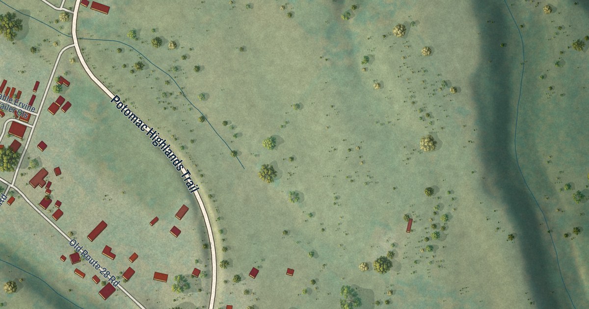
A detailed map of Arbovale, West Virginia, showing every building in its true location, the roads by name, and shaded topographical relief.
Read More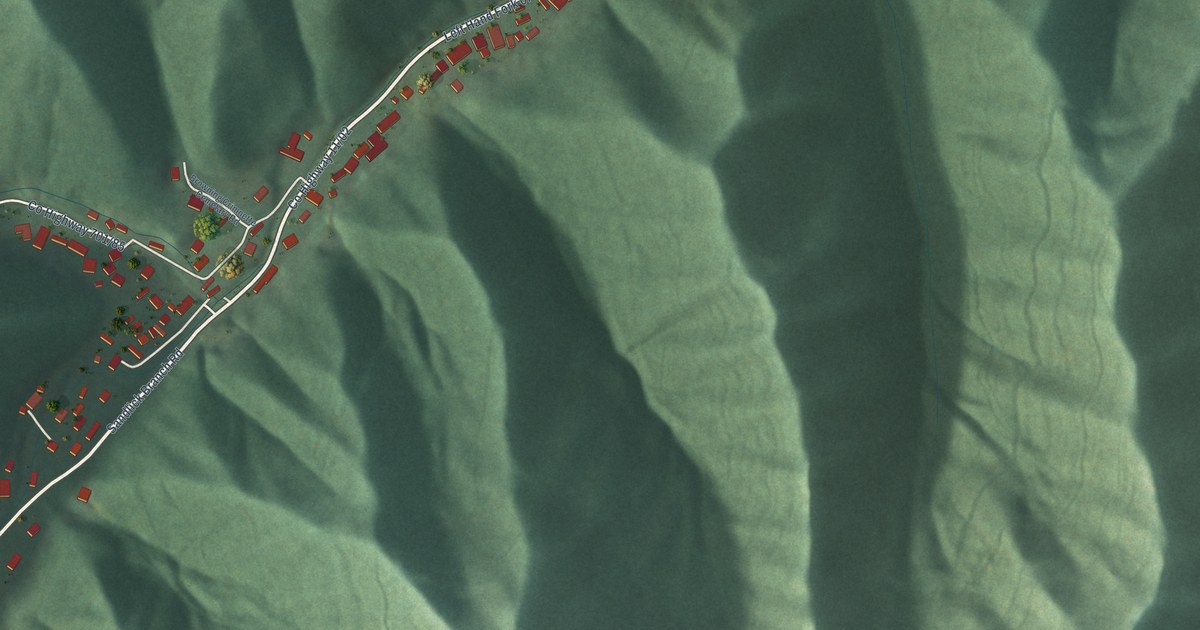
A detailed map of Bruno, West Virginia, showing every building in its true location, the roads by name, and shaded topographical relief.
Read More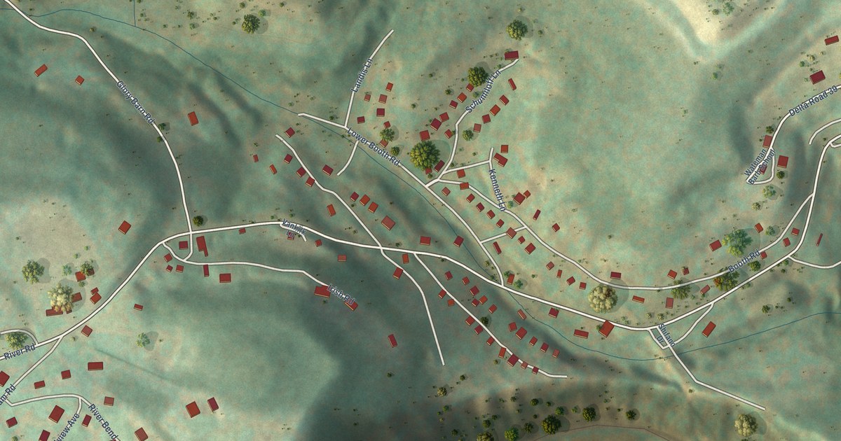
A detailed map of Booth, West Virginia, showing every building in its true location, the roads by name, and shaded topographical relief.
Read More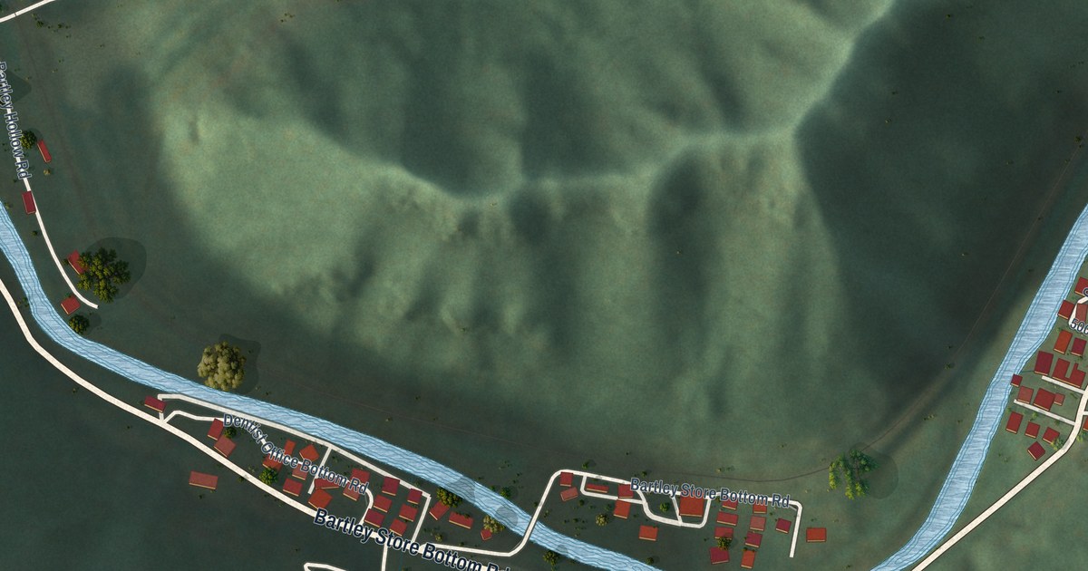
A detailed map of Bartley, West Virginia, showing every building in its true location, the roads by name, and shaded topographical relief.
Read More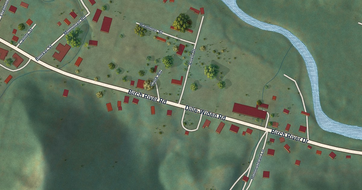
A detailed map of Birch River, West Virginia, showing every building in its true location, the roads by name, and shaded topographical relief.
Read More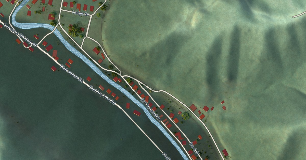
A detailed map of Berwind, West Virginia, showing every building in its true location, the roads by name, and shaded topographical relief.
Read More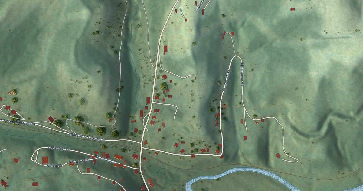
A detailed map of Adrian, West Virginia, showing every building in its true location, the roads by name, and shaded topographical relief.
Read More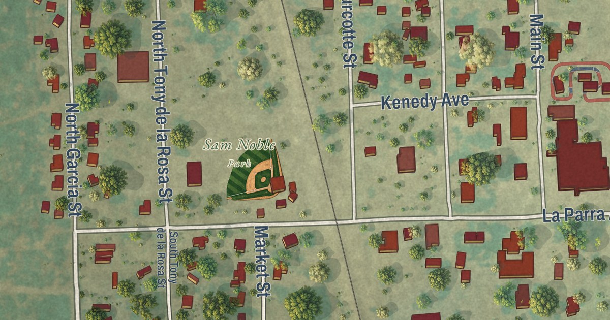
A detailed map of Sarita, Texas, showing every building in its true location, the roads by name, and shaded topographical relief.
Read More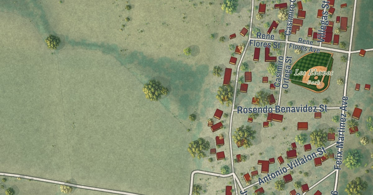
A detailed map of Los Ebanos, Texas, showing every building in its true location, the roads by name, and shaded topographical relief.
Read More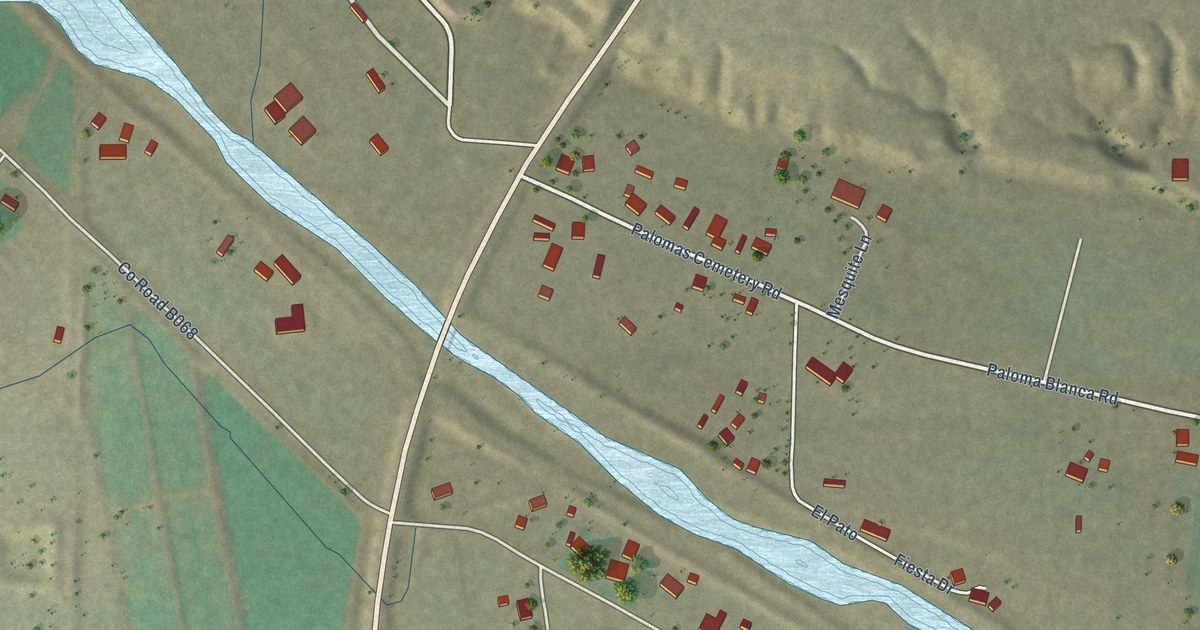
A detailed map of Las Palomas, New Mexico, showing every building in its true location, the roads by name, and shaded topographical relief.
Read More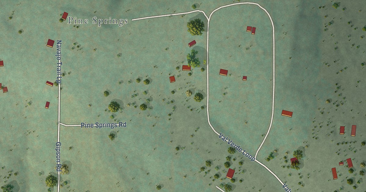
A detailed map of Manzano Springs, New Mexico, showing every building in its true location, the roads by name, and shaded topographical relief.
Read More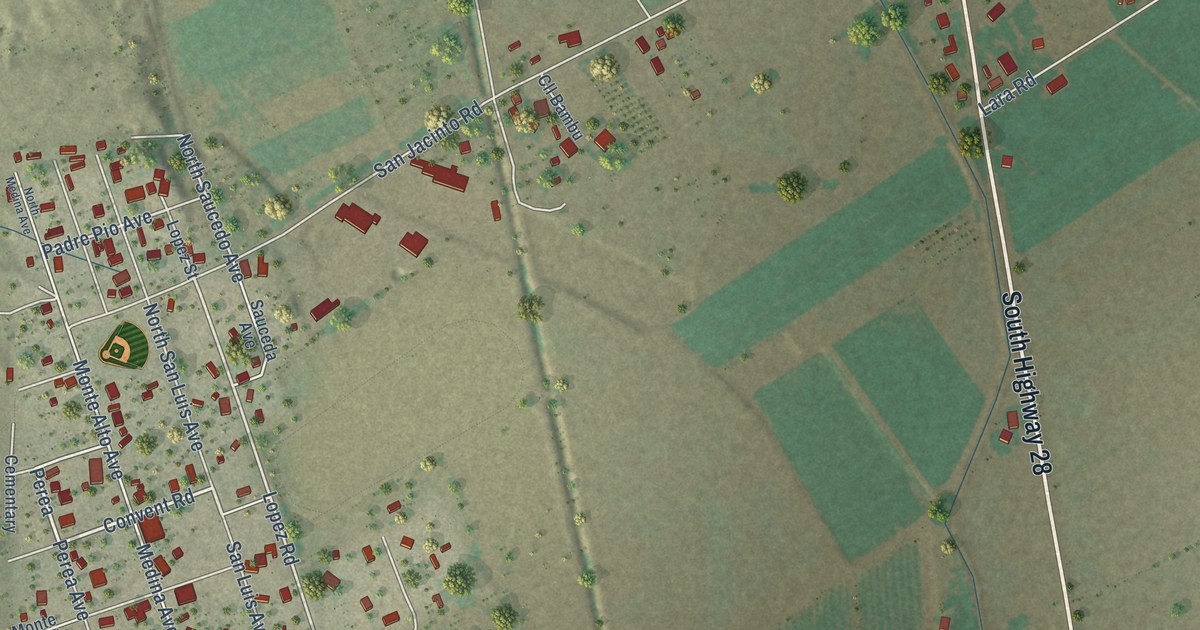
A detailed map of Chamberino, New Mexico, showing every building in its true location, the roads by name, and shaded topographical relief.
Read More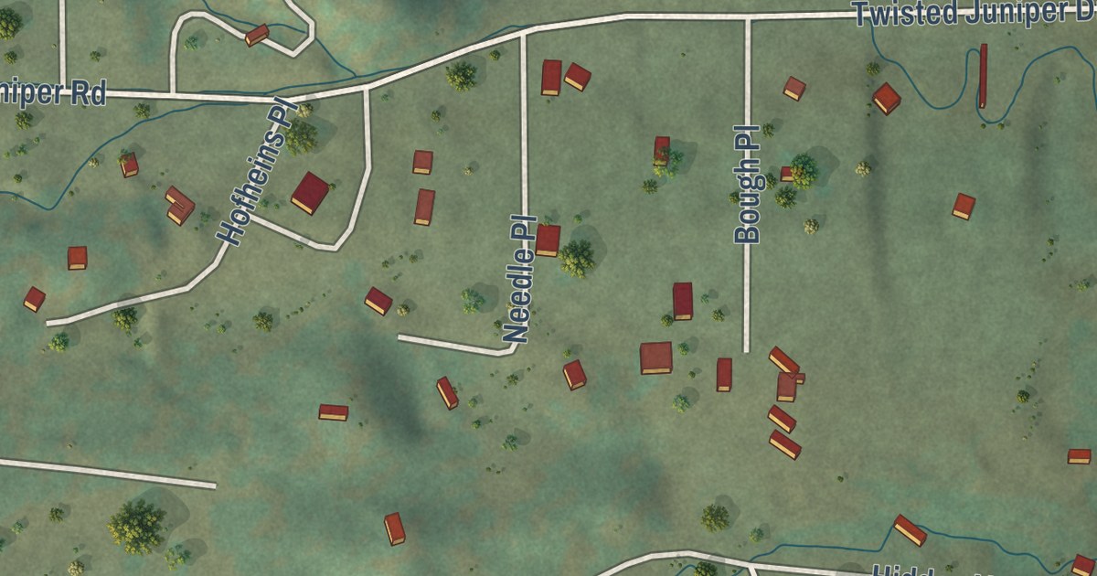
A detailed map of La Cueva, New Mexico, showing every building in its true location, the roads by name, and shaded topographical relief.
Read More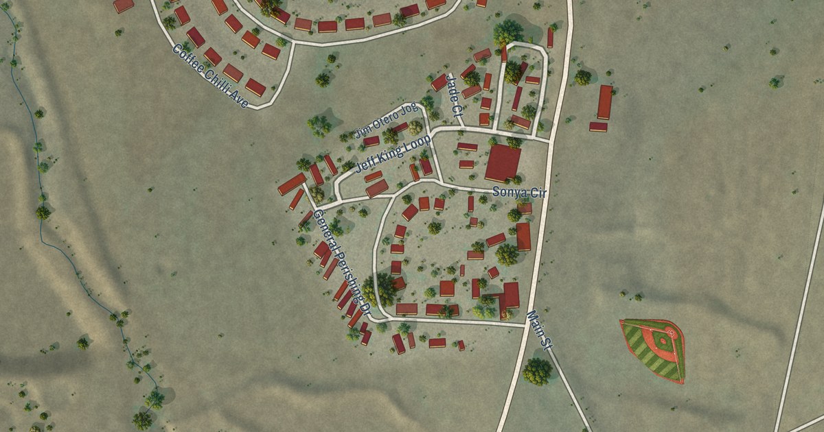
A detailed map of Fort Wingate, New Mexico, showing every building in its true location, the roads by name, and shaded topographical relief.
Read More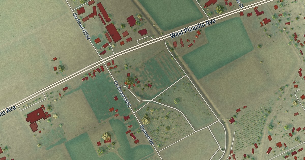
A detailed map of Fairacres, New Mexico, showing every building in its true location, the roads by name, and shaded topographical relief.
Read More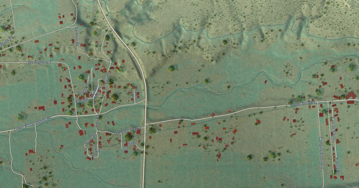
A detailed map of Arroyo Hondo, New Mexico, showing every building in its true location, the roads by name, and shaded topographical relief.
Read More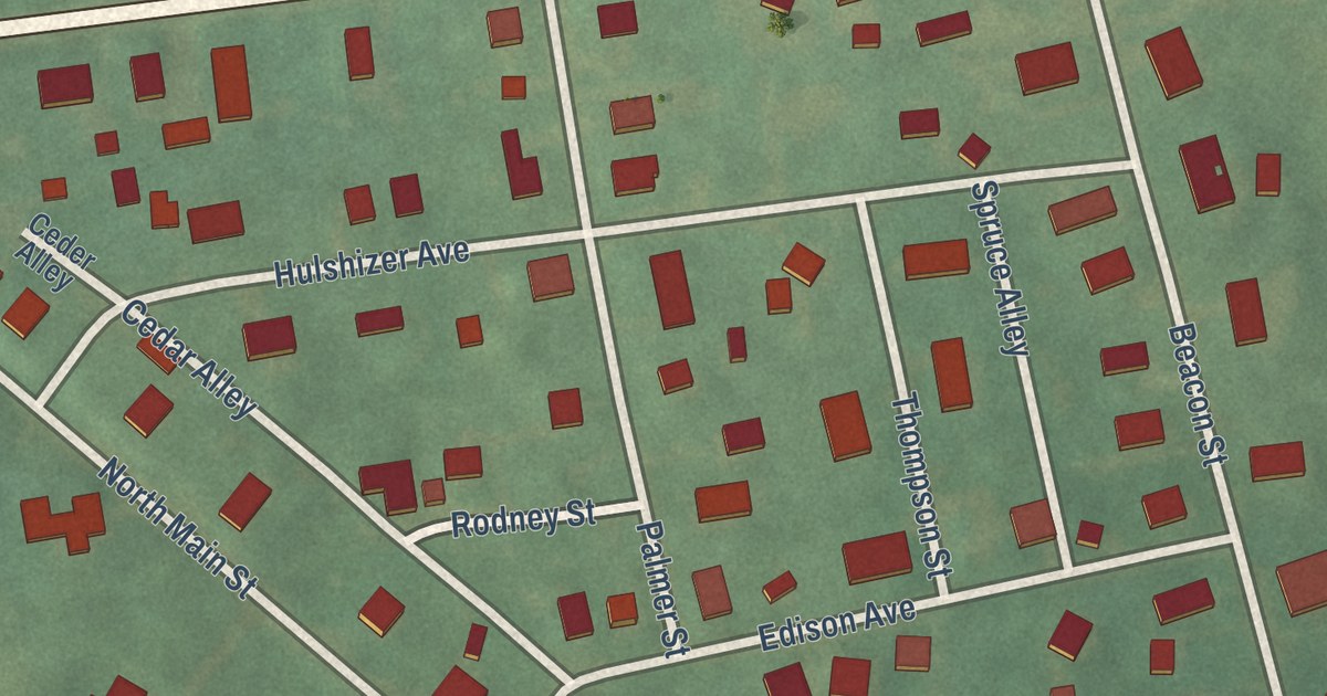
A detailed map of Upper Stewartsville, New Jersey, showing every building in its true location, the roads by name, and shaded topographical relief.
Read More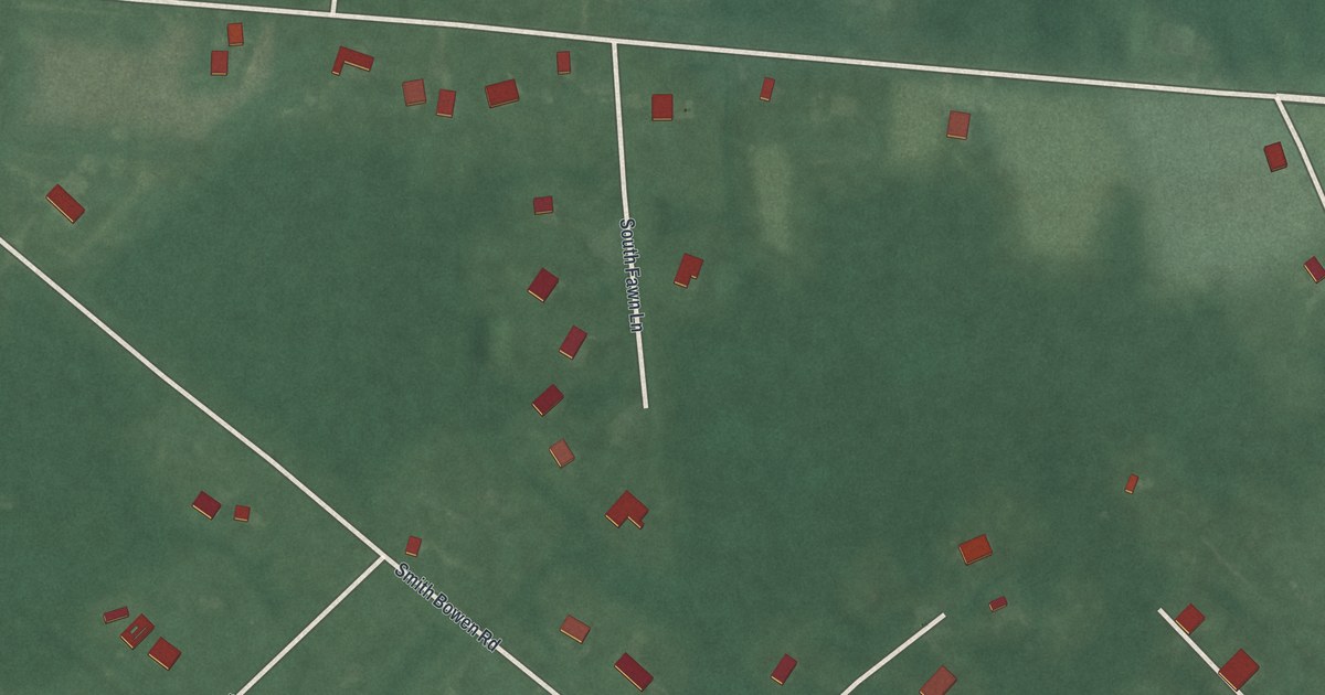
A detailed map of Leeds Point, New Jersey, showing every building in its true location, the roads by name, and shaded topographical relief.
Read More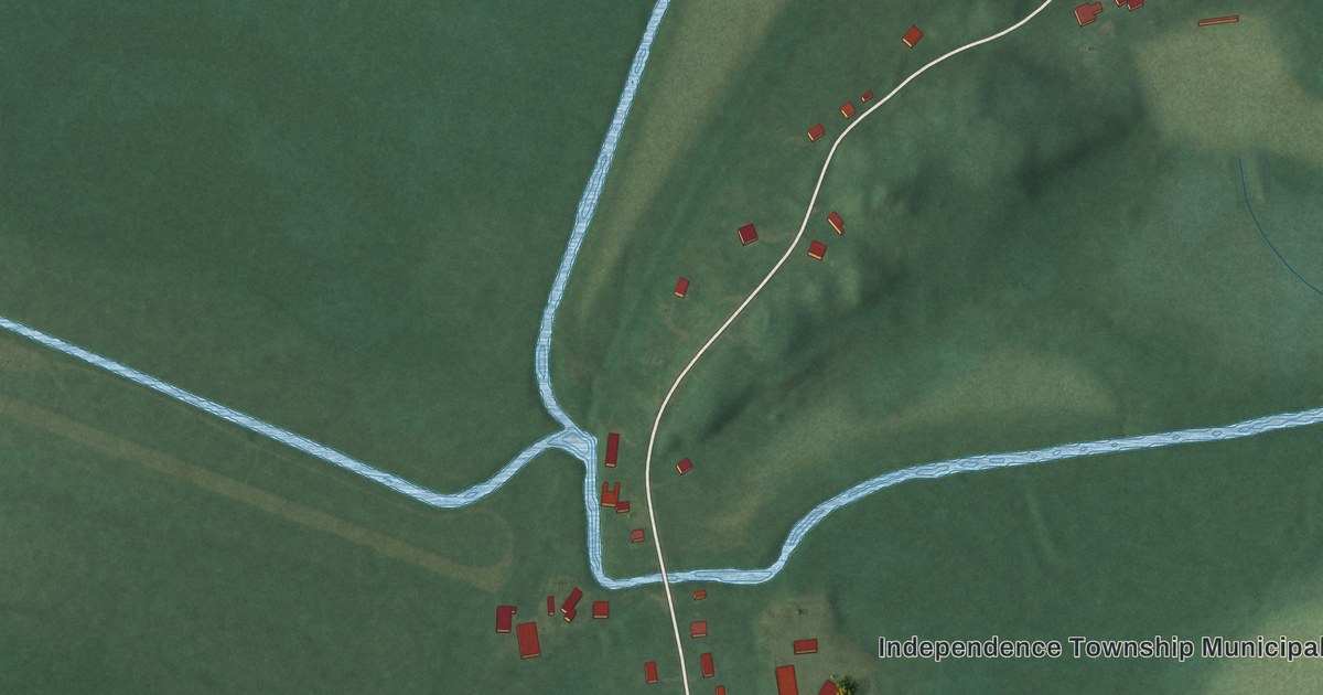
A detailed map of Great Meadows, New Jersey, showing every building in its true location, the roads by name, and shaded topographical relief.
Read More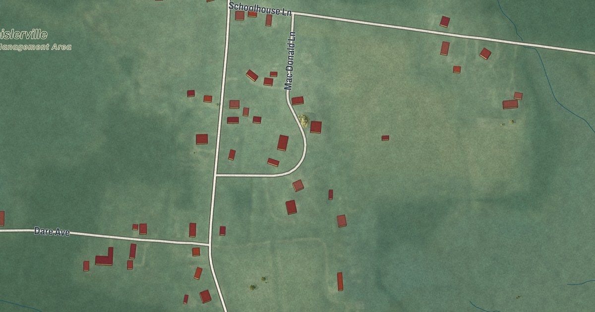
A detailed map of Heislerville, New Jersey, showing every building in its true location, the roads by name, and shaded topographical relief.
Read More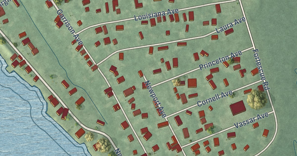
A detailed map of Fortescue, New Jersey, showing every building in its true location, the roads by name, and shaded topographical relief.
Read More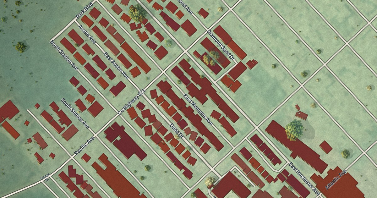
A detailed map of Diamond Beach, New Jersey, showing every building in its true location, the roads by name, and shaded topographical relief.
Read More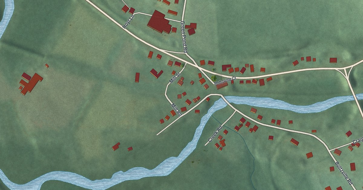
A detailed map of Buttzville, New Jersey, showing every building in its true location, the roads by name, and shaded topographical relief.
Read More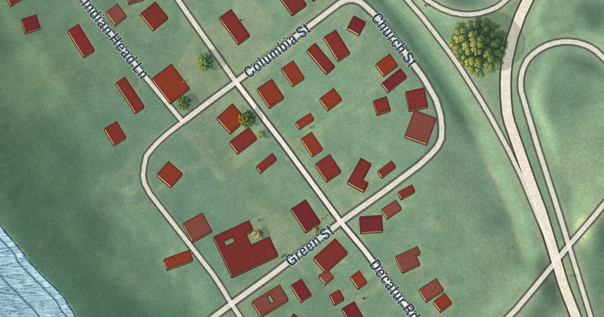
A detailed map of Columbia, New Jersey, showing every building in its true location, the roads by name, and shaded topographical relief.
Read More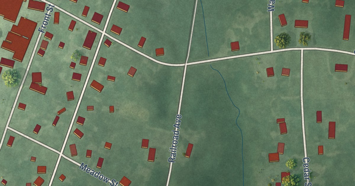
A detailed map of Dorchester, New Jersey, showing every building in its true location, the roads by name, and shaded topographical relief.
Read More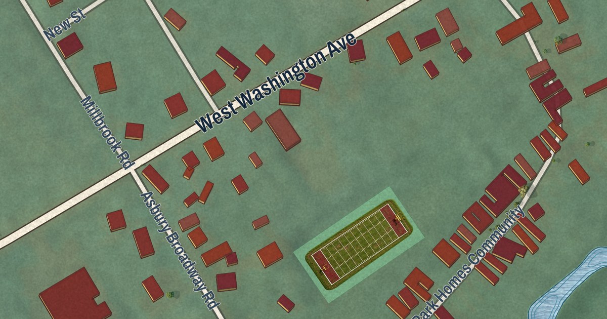
A detailed map of Broadway, New Jersey, showing every building in its true location, the roads by name, and shaded topographical relief.
Read More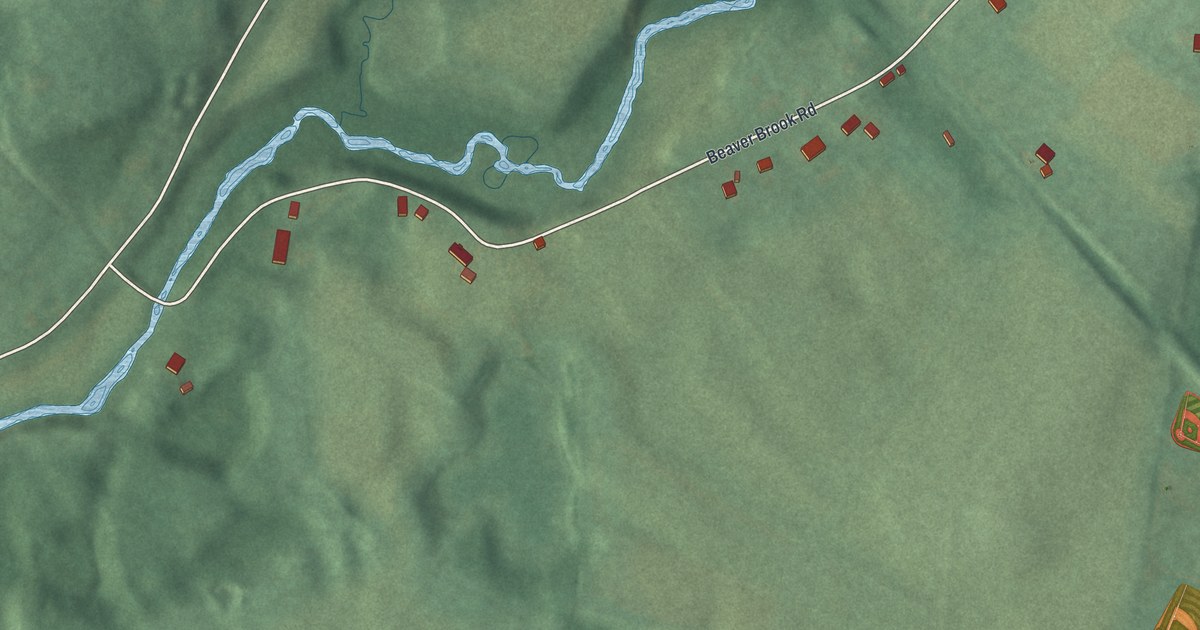
A detailed map of Bridgeville, New Jersey, showing every building in its true location, the roads by name, and shaded topographical relief.
Read More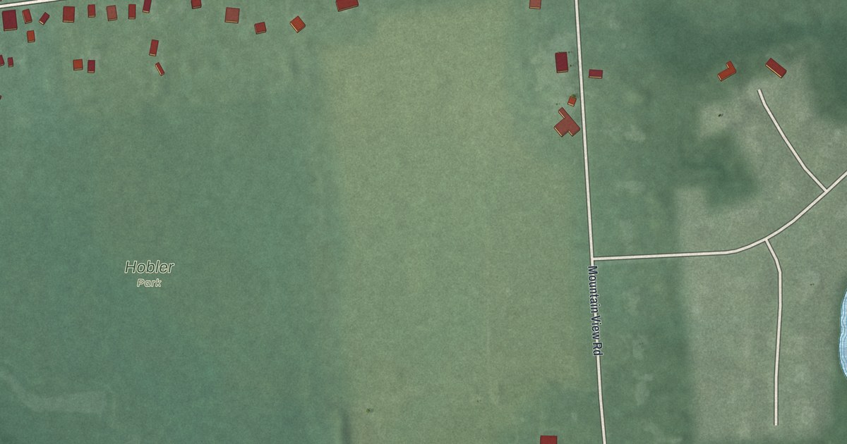
A detailed map of Blawenburg, New Jersey, showing every building in its true location, the roads by name, and shaded topographical relief.
Read More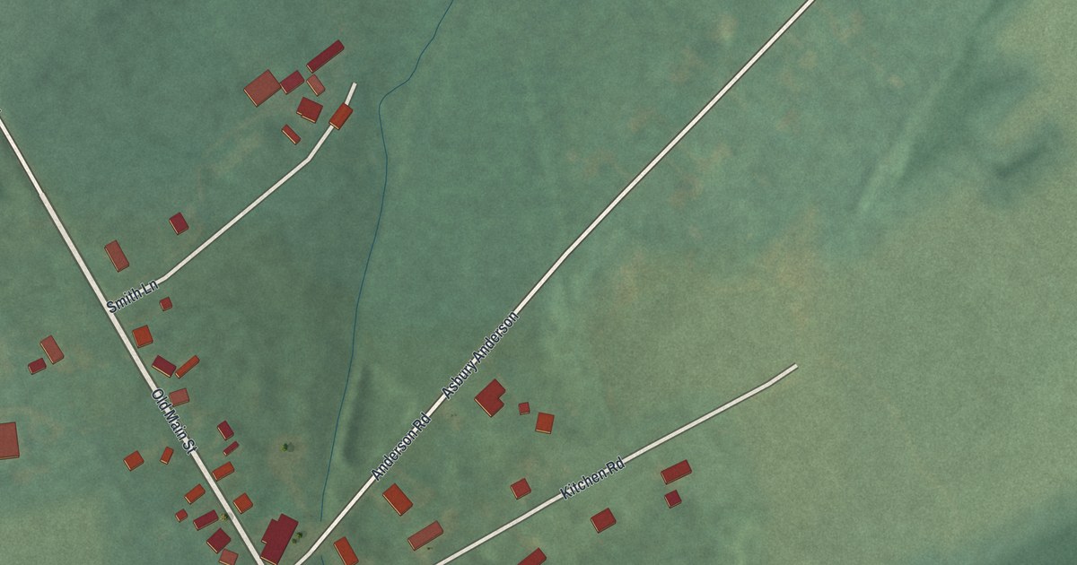
A detailed map of Asbury, New Jersey, showing every building in its true location, the roads by name, and shaded topographical relief.
Read More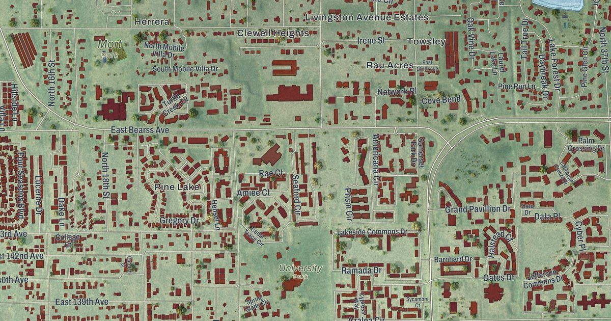
A detailed map of University, Florida, showing every building in its true location, the roads by name, and shaded topographical relief.
Read More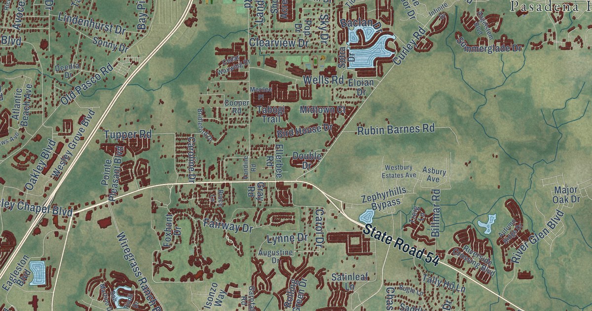
A detailed map of Wesley Chapel, Florida, showing every building in its true location, the roads by name, and shaded topographical relief.
Read More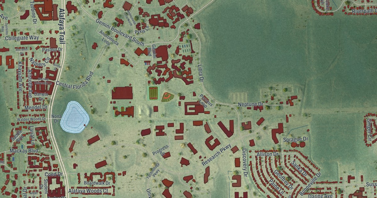
A detailed map of University, Florida, showing every building in its true location, the roads by name, and shaded topographical relief.
Read More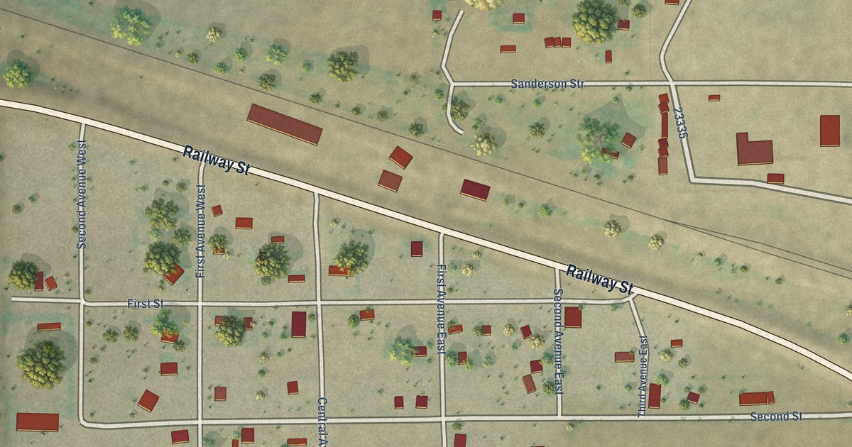
A detailed map of Moccasin, Montana, showing every building in its true location, the roads by name, and shaded topographical relief.
Read More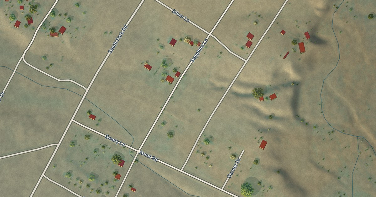
A detailed map of Sapphire Ridge, Montana, showing every building in its true location, the roads by name, and shaded topographical relief.
Read More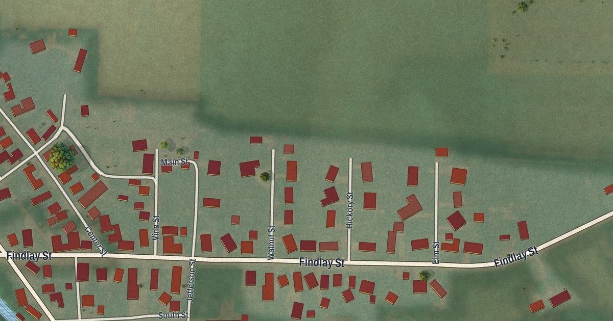
A detailed map of Vaughnsville, Ohio, showing every building in its true location, the roads by name, and shaded topographical relief.
Read More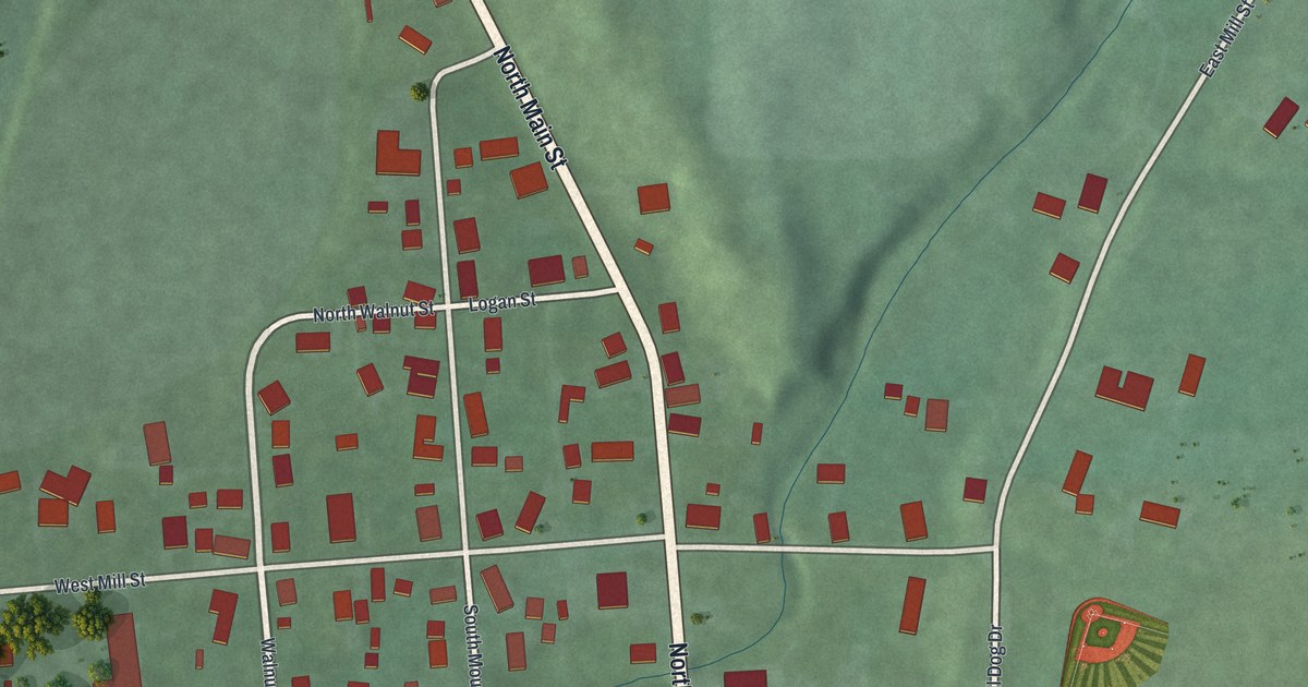
A detailed map of Somerville, Ohio, showing every building in its true location, the roads by name, and shaded topographical relief.
Read More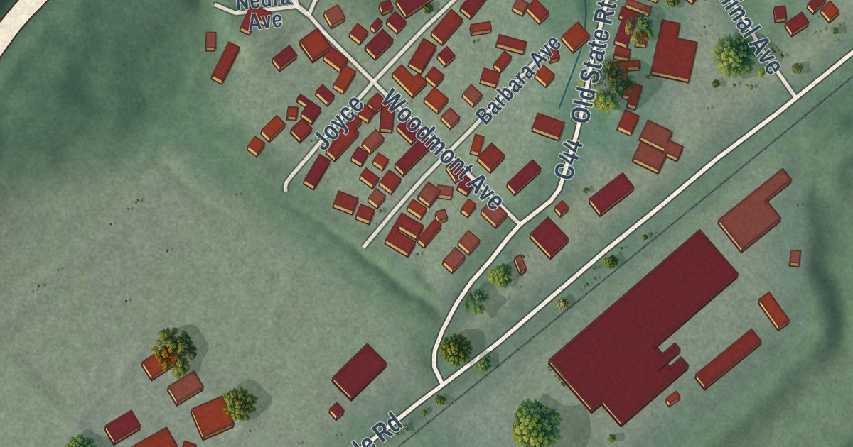
A detailed map of Pottery Addition, Ohio, showing every building in its true location, the roads by name, and shaded topographical relief.
Read More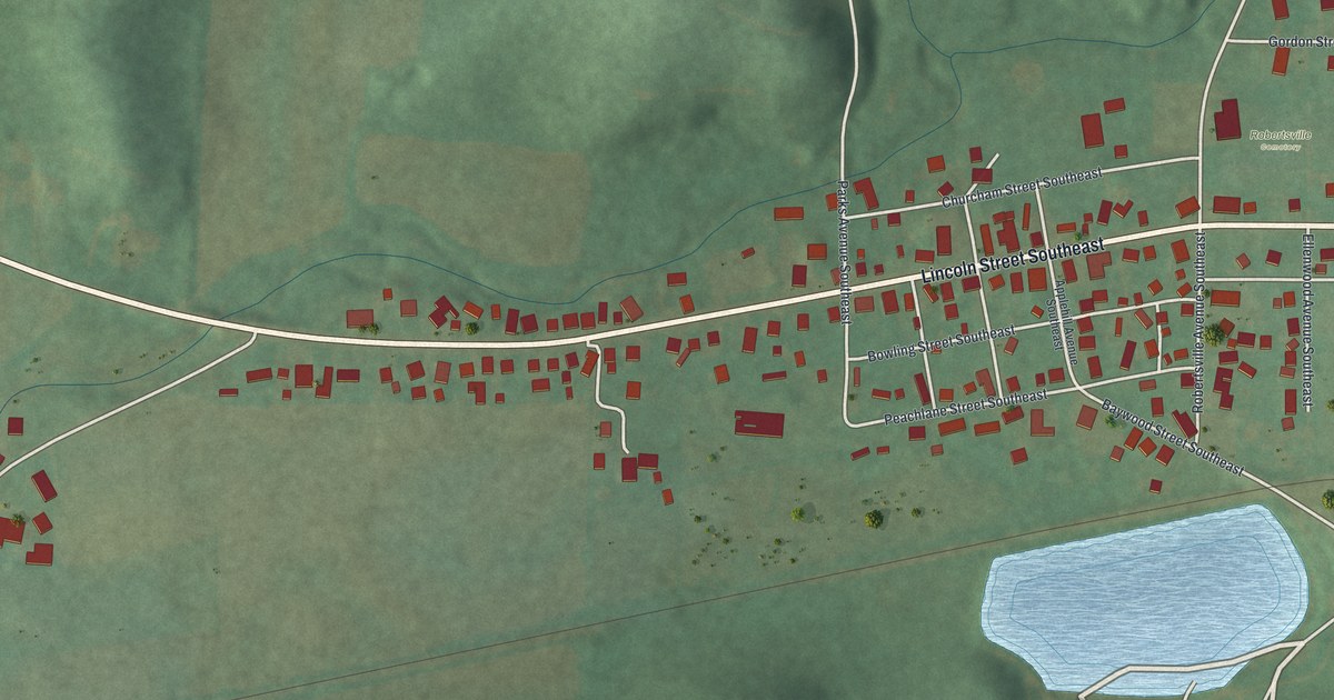
A detailed map of Robertsville, Ohio, showing every building in its true location, the roads by name, and shaded topographical relief.
Read More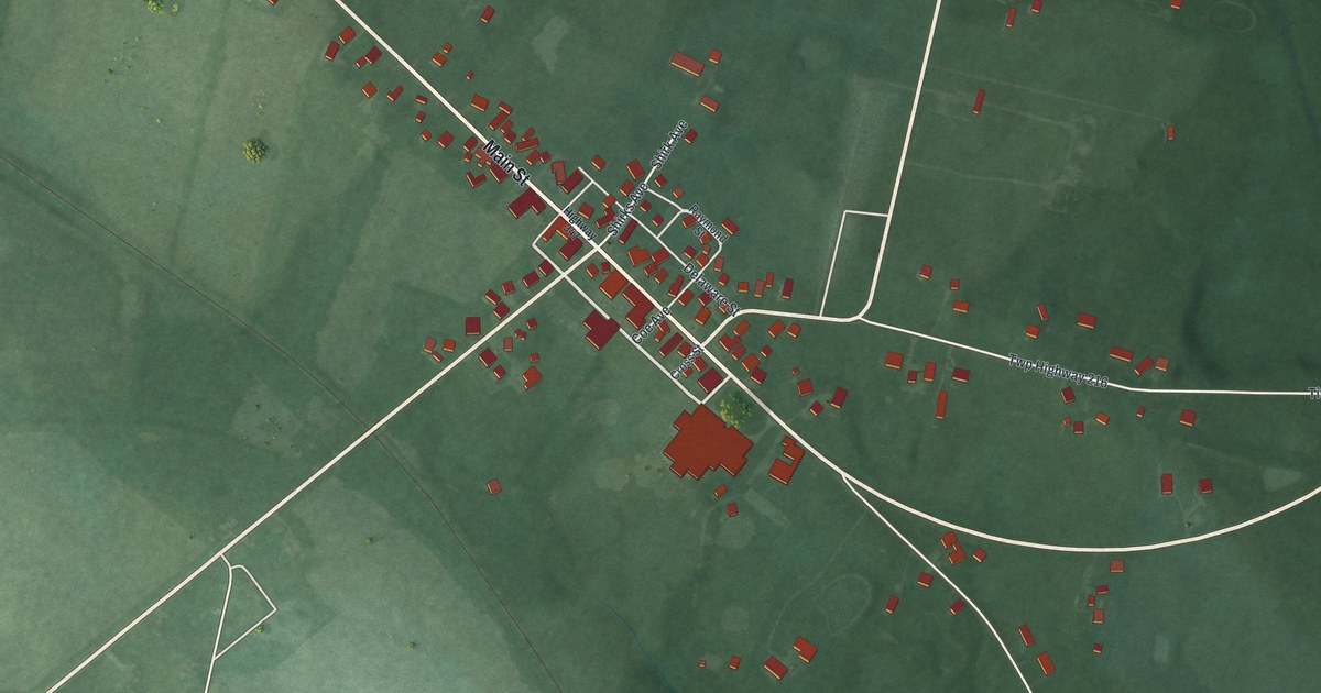
A detailed map of Raymond, Ohio, showing every building in its true location, the roads by name, and shaded topographical relief.
Read More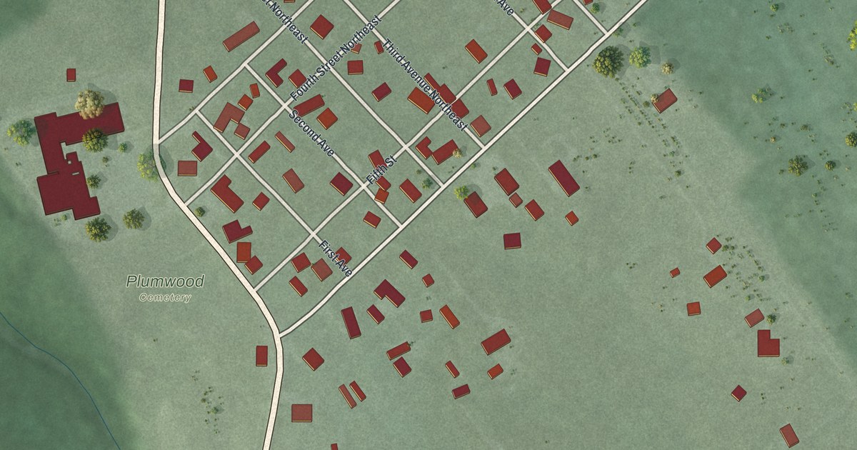
A detailed map of Plumwood, Ohio, showing every building in its true location, the roads by name, and shaded topographical relief.
Read More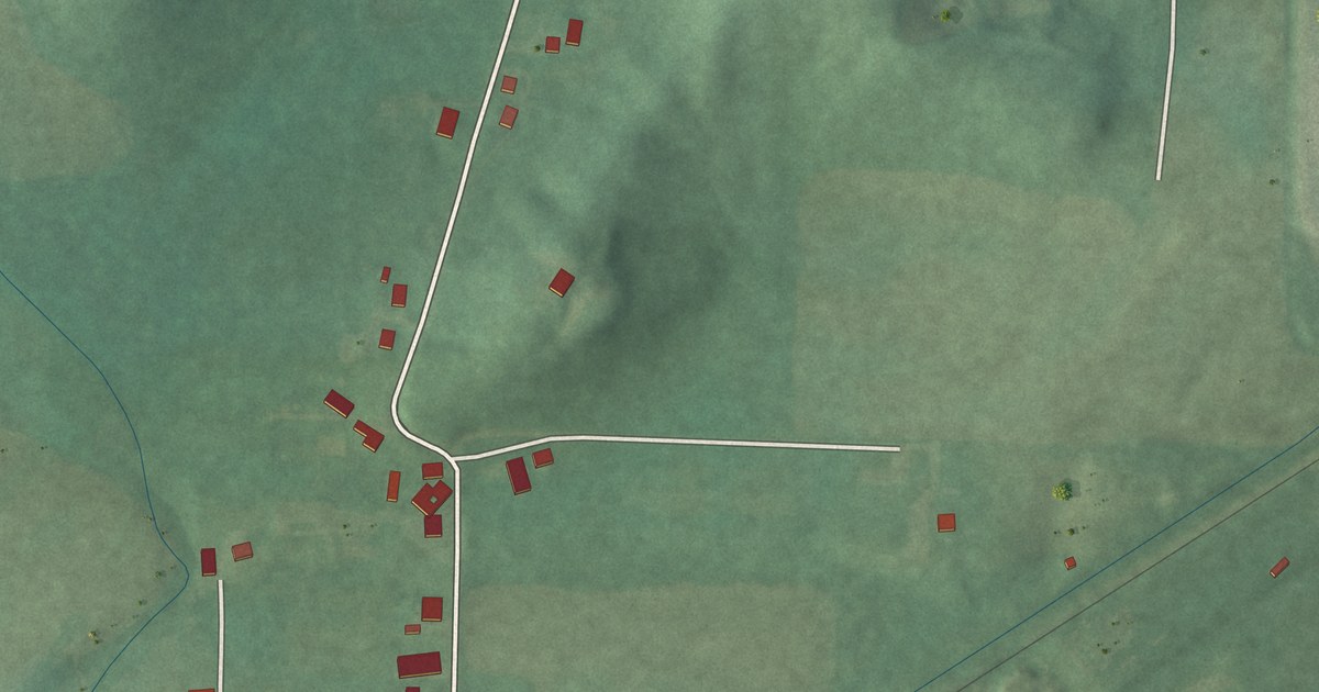
A detailed map of Pekin, Ohio, showing every building in its true location, the roads by name, and shaded topographical relief.
Read More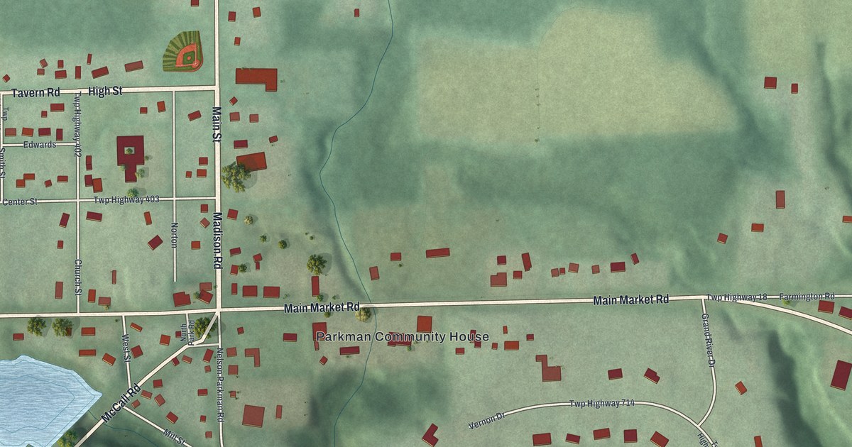
A detailed map of Parkman, Ohio, showing every building in its true location, the roads by name, and shaded topographical relief.
Read More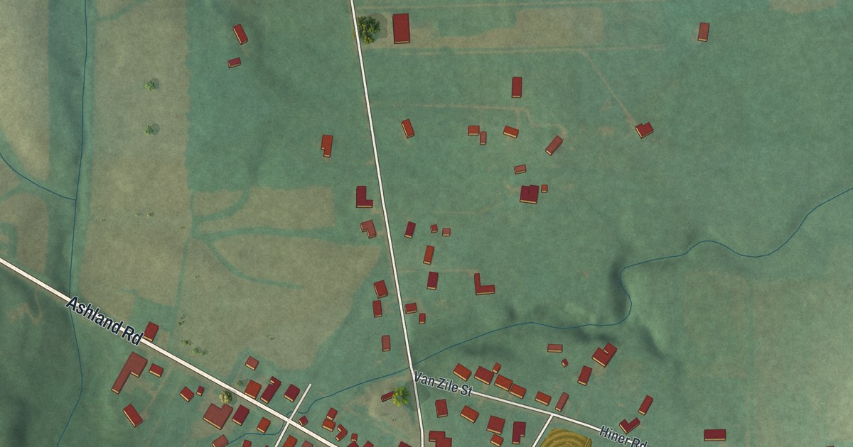
A detailed map of New Pittsburg, Ohio, showing every building in its true location, the roads by name, and shaded topographical relief.
Read More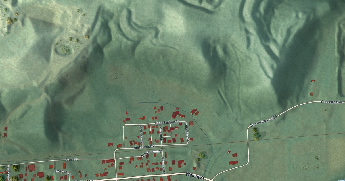
A detailed map of Negley, Ohio, showing every building in its true location, the roads by name, and shaded topographical relief.
Read More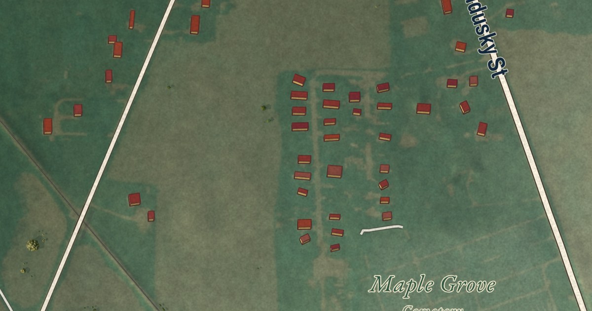
A detailed map of New Haven, Ohio, showing every building in its true location, the roads by name, and shaded topographical relief.
Read More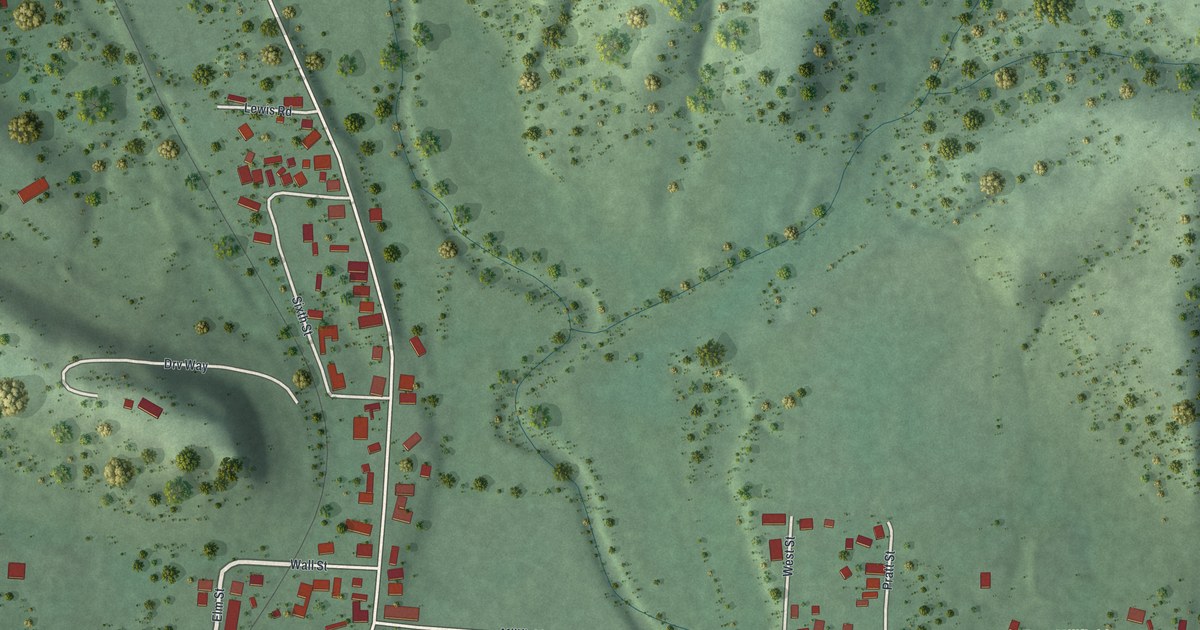
A detailed map of Millfield, Ohio, showing every building in its true location, the roads by name, and shaded topographical relief.
Read More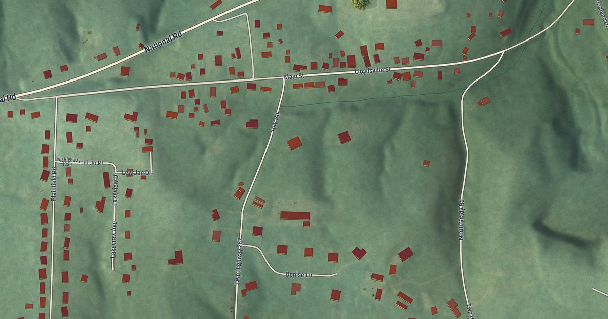
A detailed map of Lloydsville, Ohio, showing every building in its true location, the roads by name, and shaded topographical relief.
Read More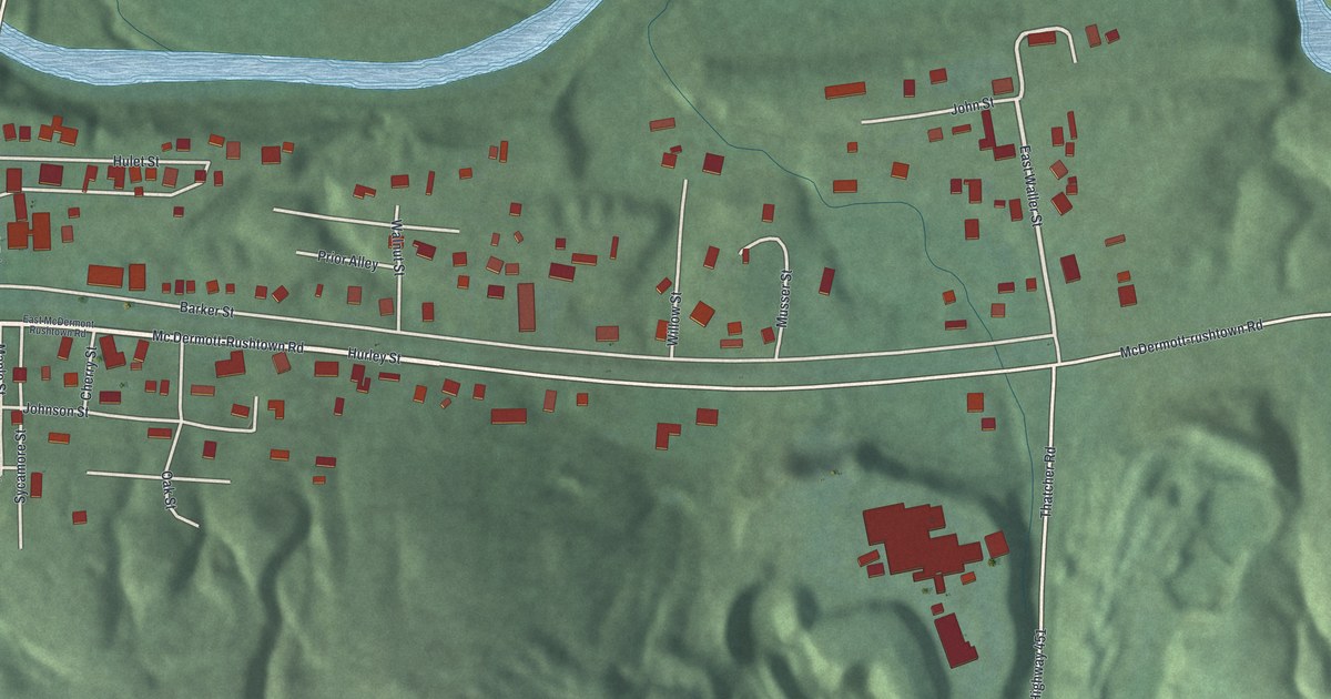
A detailed map of McDermott, Ohio, showing every building in its true location, the roads by name, and shaded topographical relief.
Read More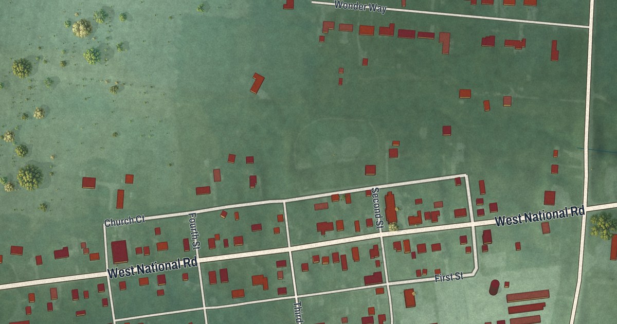
A detailed map of Brandt, Ohio, showing every building in its true location, the roads by name, and shaded topographical relief.
Read More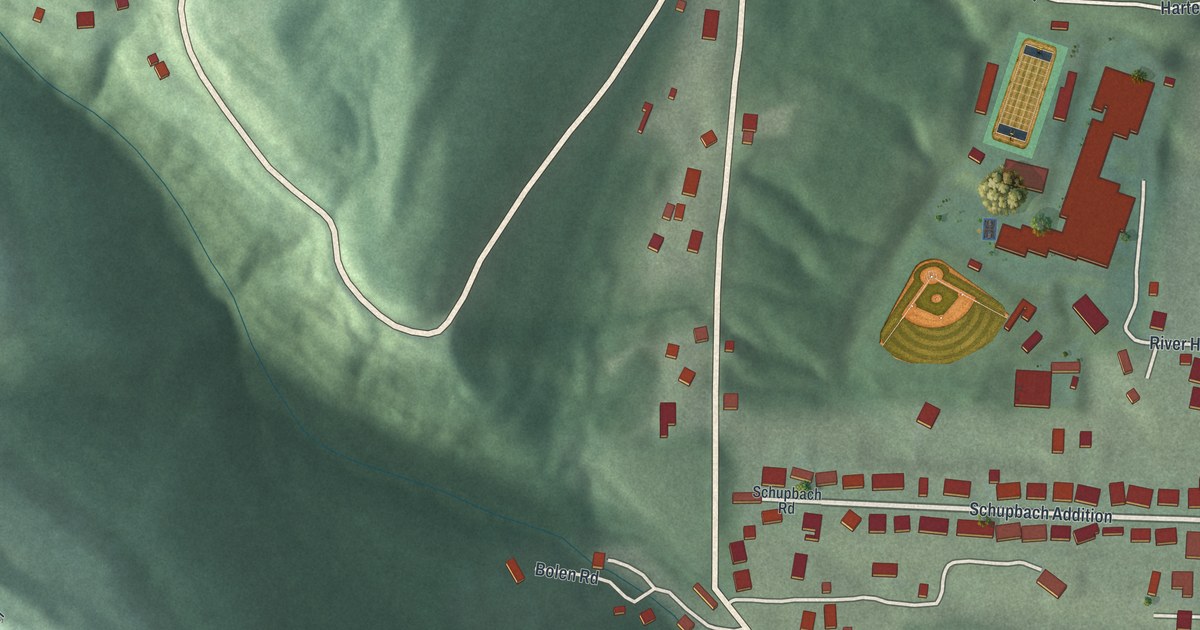
A detailed map of Hannibal, Ohio, showing every building in its true location, the roads by name, and shaded topographical relief.
Read More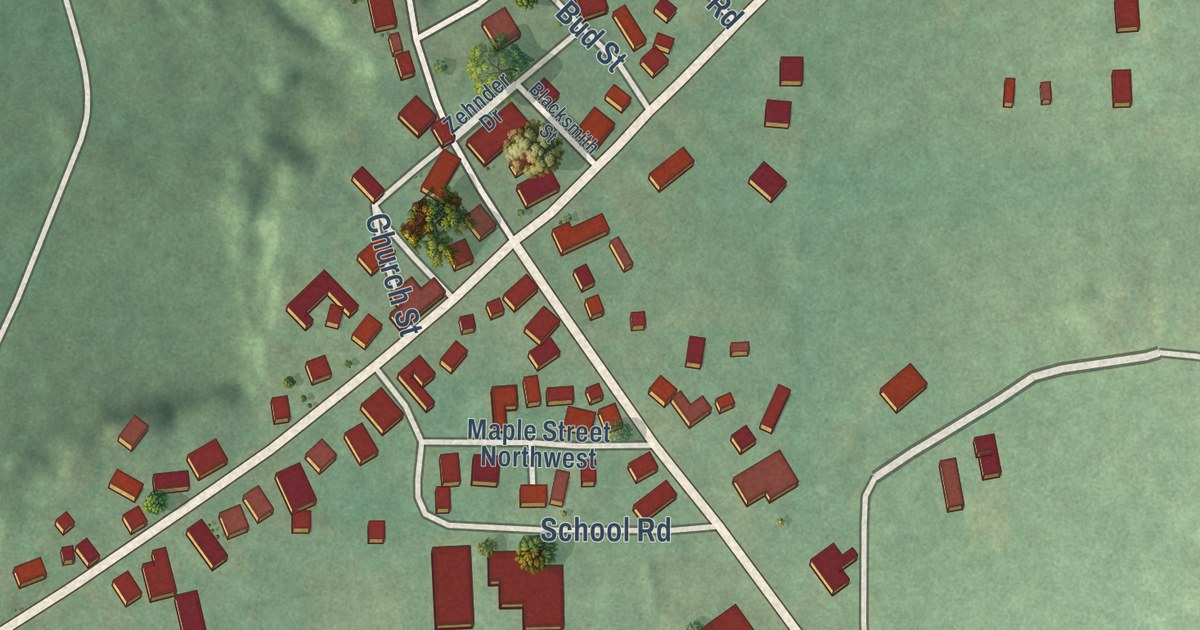
A detailed map of Dundee, Ohio, showing every building in its true location, the roads by name, and shaded topographical relief.
Read More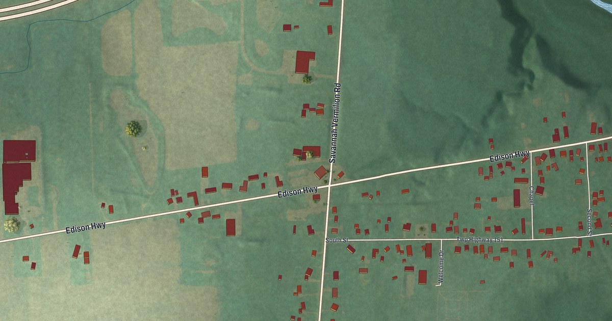
A detailed map of Birmingham, Ohio, showing every building in its true location, the roads by name, and shaded topographical relief.
Read More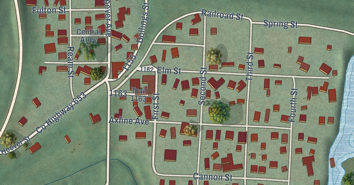
A detailed map of East Fultonham, Ohio, showing every building in its true location, the roads by name, and shaded topographical relief.
Read More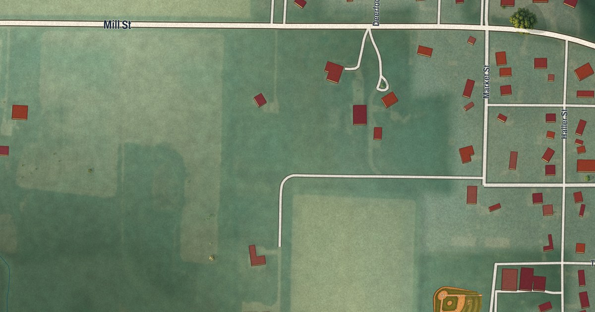
A detailed map of Brunersburg, Ohio, showing every building in its true location, the roads by name, and shaded topographical relief.
Read More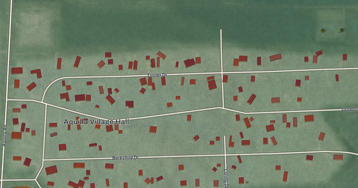
A detailed map of Aquilla, Ohio, showing every building in its true location, the roads by name, and shaded topographical relief.
Read More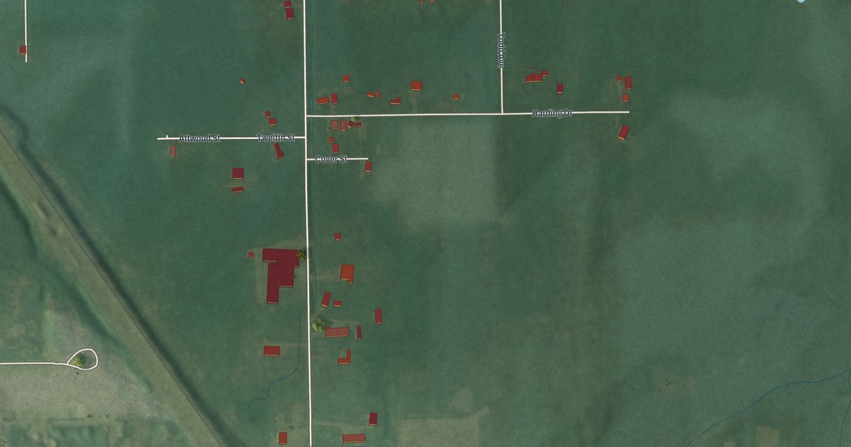
A detailed map of East Alliance, Ohio, showing every building in its true location, the roads by name, and shaded topographical relief.
Read More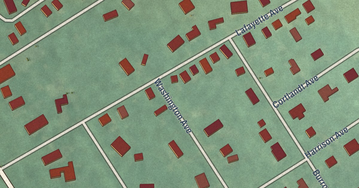
A detailed map of Washington Crossing, New Jersey, showing every building in its true location, the roads by name, and shaded topographical relief.
Read More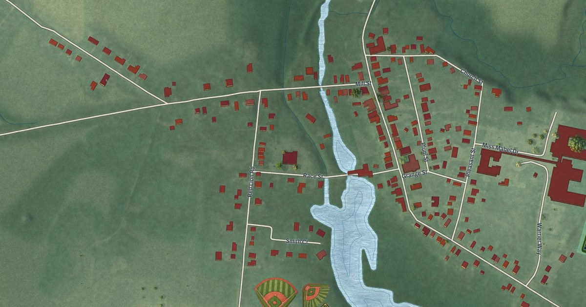
A detailed map of Vincentown, New Jersey, showing every building in its true location, the roads by name, and shaded topographical relief.
Read More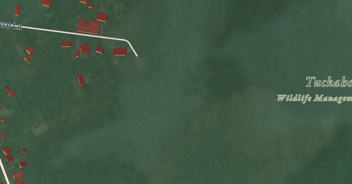
A detailed map of Tuckahoe, New Jersey, showing every building in its true location, the roads by name, and shaded topographical relief.
Read More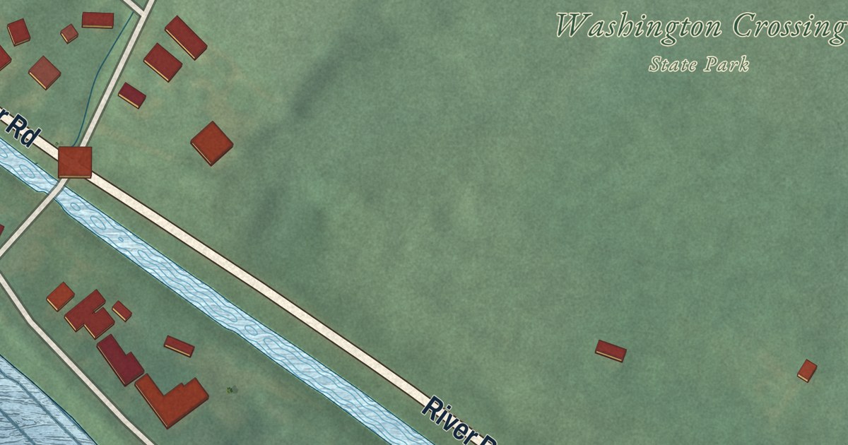
A detailed map of Titusville, New Jersey, showing every building in its true location, the roads by name, and shaded topographical relief.
Read More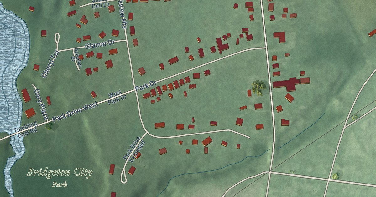
A detailed map of Sunset Lake, New Jersey, showing every building in its true location, the roads by name, and shaded topographical relief.
Read More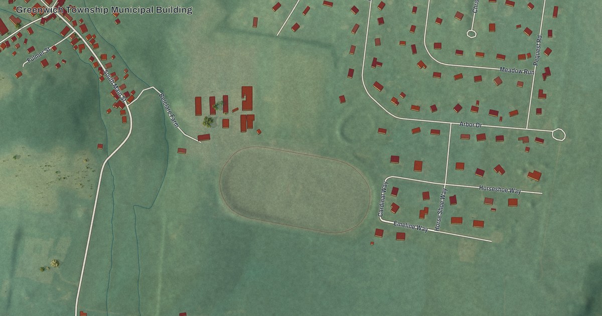
A detailed map of Stewartsville, New Jersey, showing every building in its true location, the roads by name, and shaded topographical relief.
Read More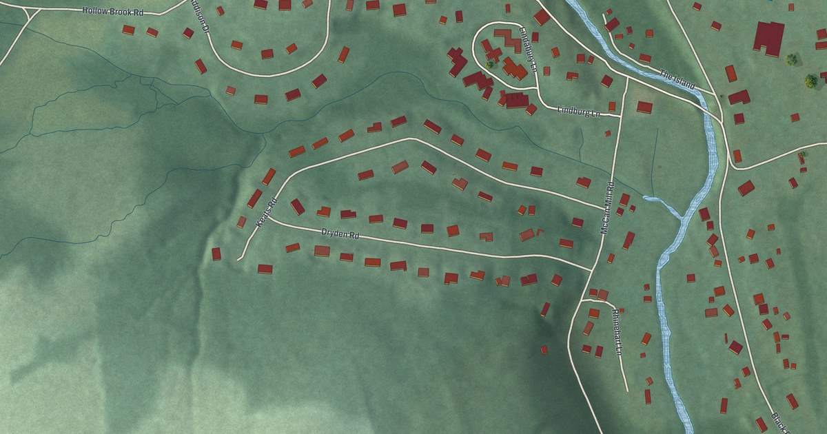
A detailed map of Pottersville, New Jersey, showing every building in its true location, the roads by name, and shaded topographical relief.
Read More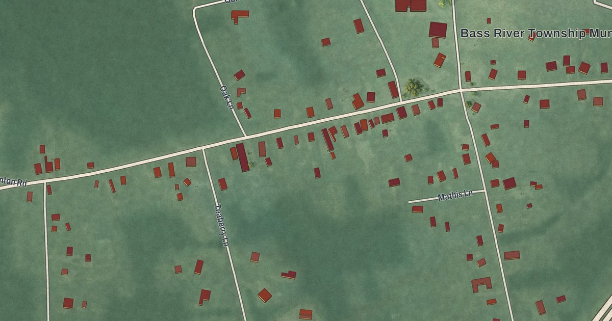
A detailed map of New Gretna, New Jersey, showing every building in its true location, the roads by name, and shaded topographical relief.
Read More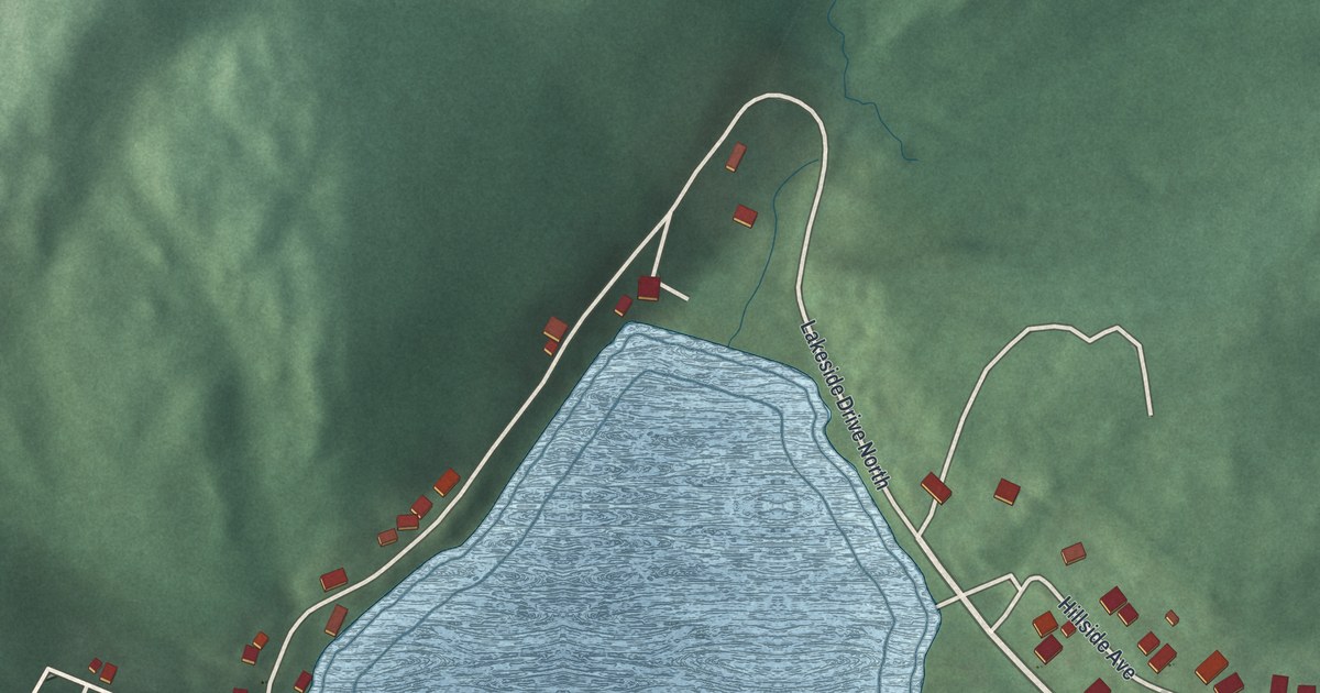
A detailed map of Mountain Lake, New Jersey, showing every building in its true location, the roads by name, and shaded topographical relief.
Read More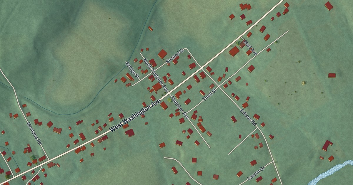
A detailed map of New Village, New Jersey, showing every building in its true location, the roads by name, and shaded topographical relief.
Read More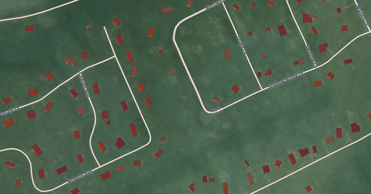
A detailed map of Laurel Heights, New Jersey, showing every building in its true location, the roads by name, and shaded topographical relief.
Read More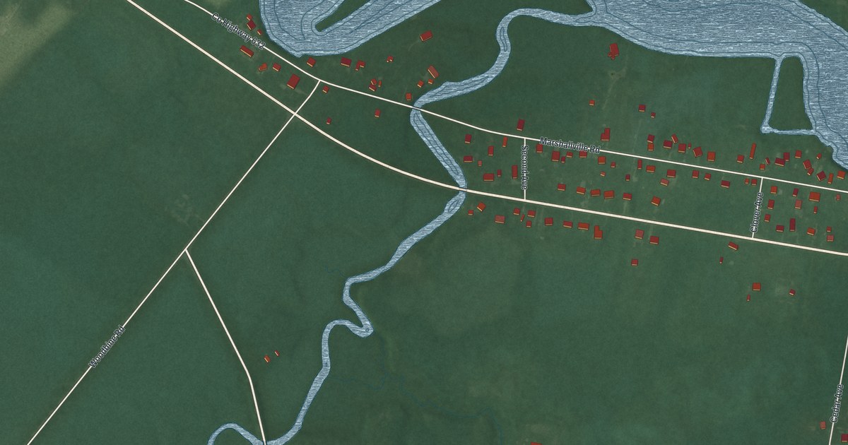
A detailed map of Marshallville, New Jersey, showing every building in its true location, the roads by name, and shaded topographical relief.
Read More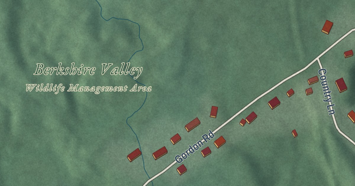
A detailed map of Lower Berkshire Valley, New Jersey, showing every building in its true location, the roads by name, and shaded topographical relief.
Read More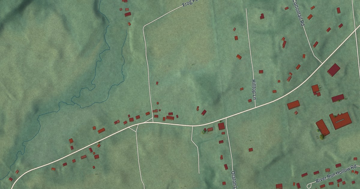
A detailed map of Hainesburg, New Jersey, showing every building in its true location, the roads by name, and shaded topographical relief.
Read More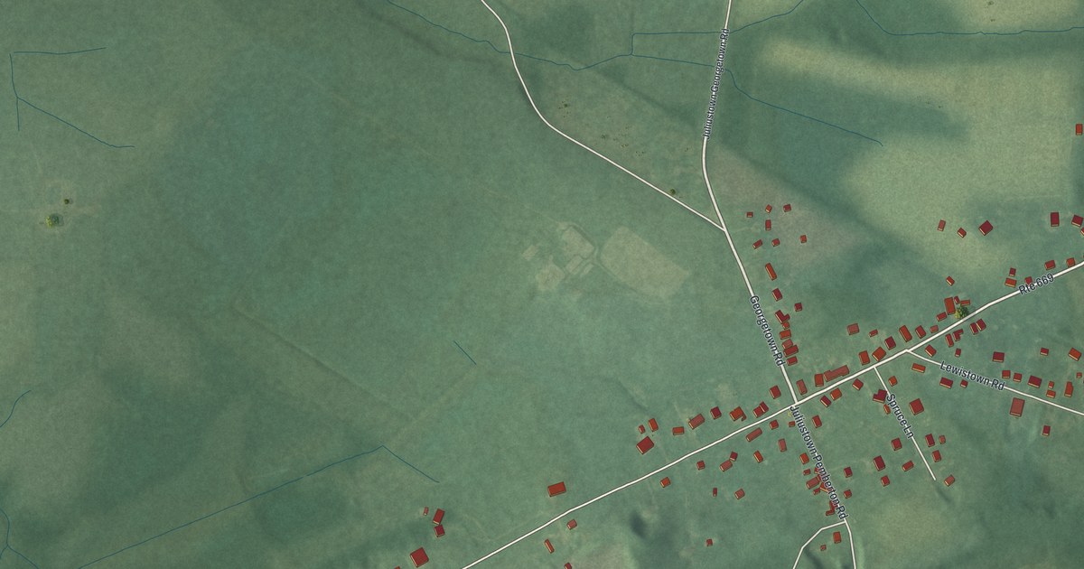
A detailed map of Juliustown, New Jersey, showing every building in its true location, the roads by name, and shaded topographical relief.
Read More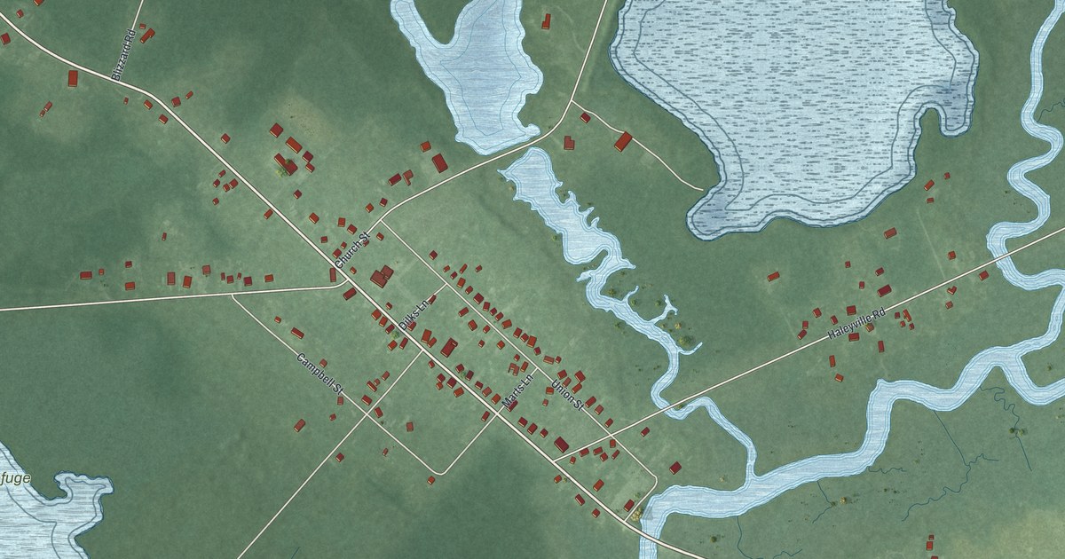
A detailed map of Dividing Creek, New Jersey, showing every building in its true location, the roads by name, and shaded topographical relief.
Read More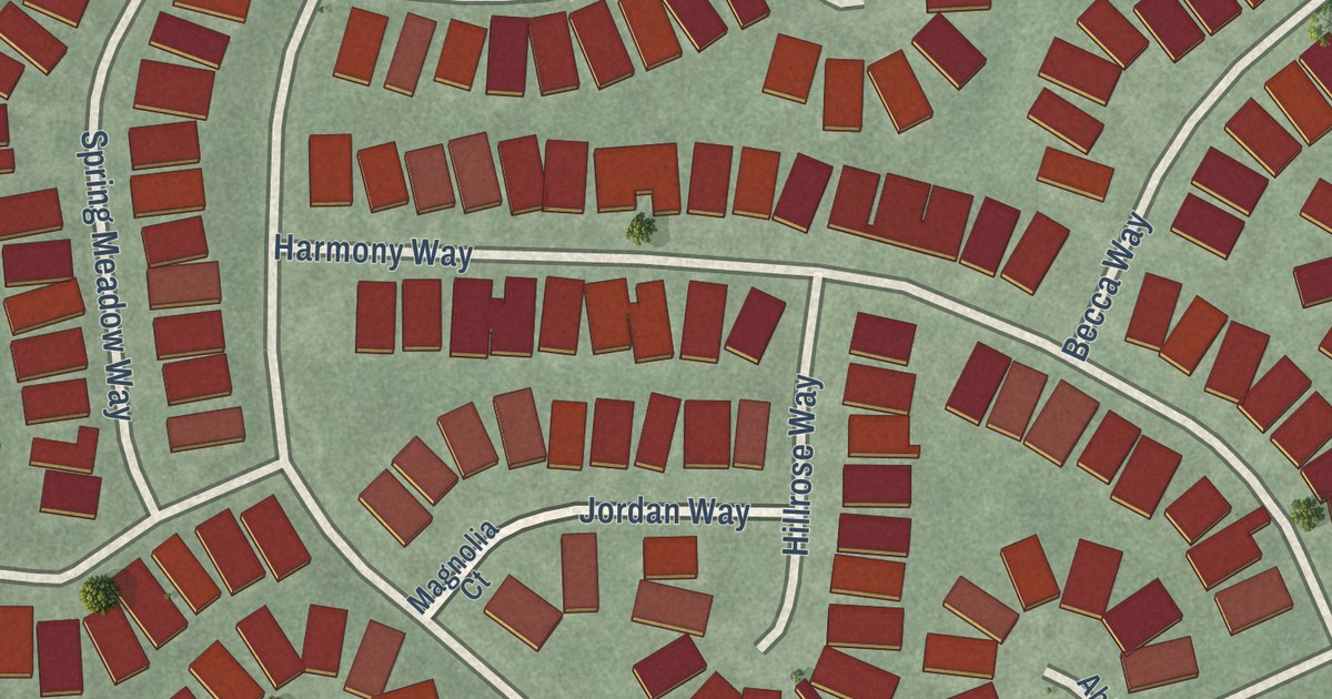
A detailed map of Encore at Monroe, New Jersey, showing every building in its true location, the roads by name, and shaded topographical relief.
Read More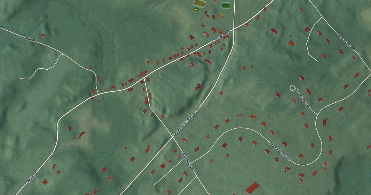
A detailed map of Johnsonburg, New Jersey, showing every building in its true location, the roads by name, and shaded topographical relief.
Read More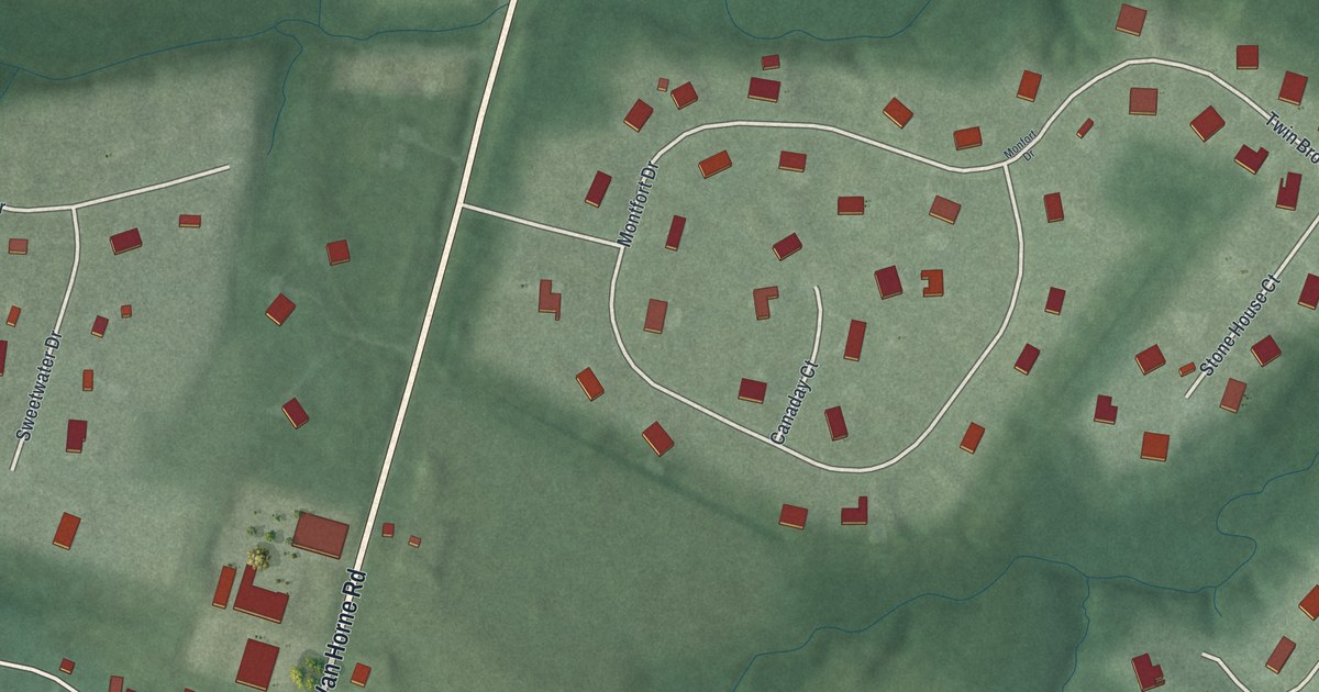
A detailed map of Harlingen, New Jersey, showing every building in its true location, the roads by name, and shaded topographical relief.
Read More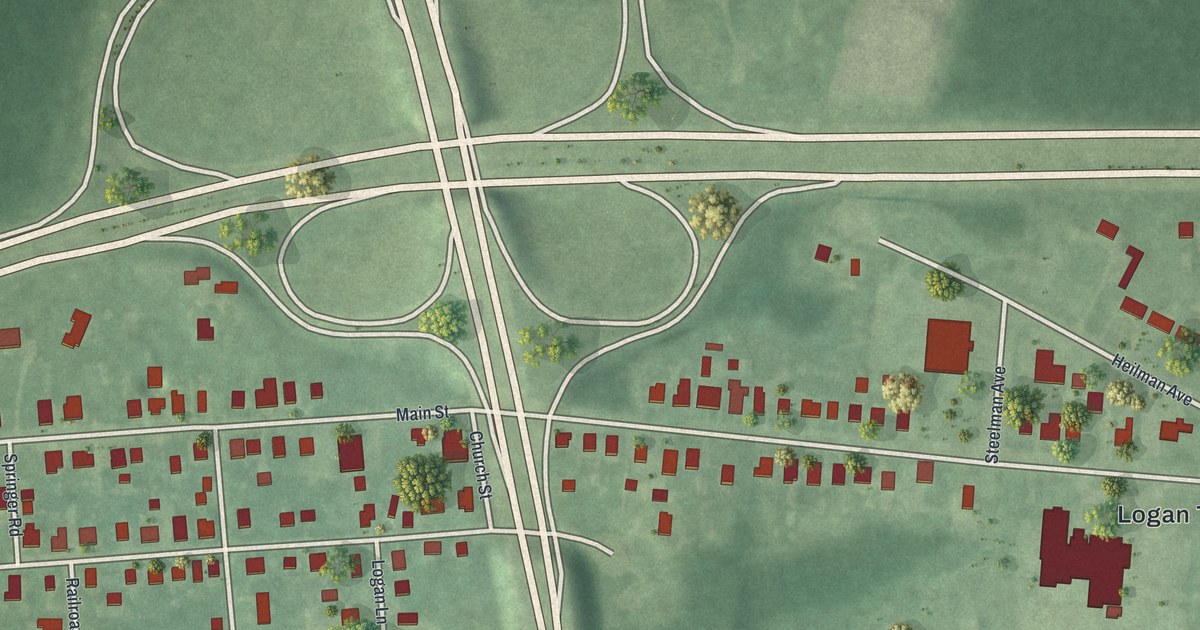
A detailed map of Bridgeport, New Jersey, showing every building in its true location, the roads by name, and shaded topographical relief.
Read More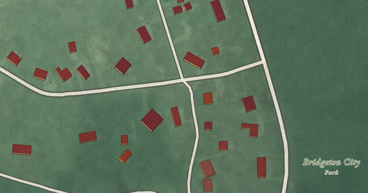
A detailed map of Lakeside-Beebe Run, New Jersey, showing every building in its true location, the roads by name, and shaded topographical relief.
Read More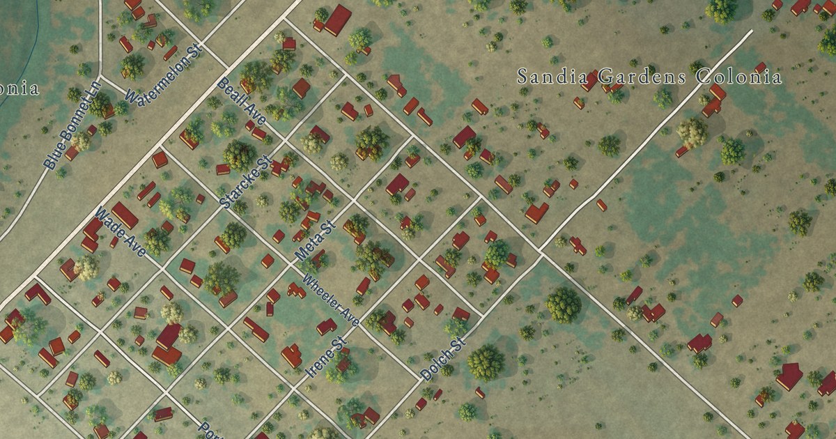
A detailed map of Sandia, Texas, showing every building in its true location, the roads by name, and shaded topographical relief.
Read More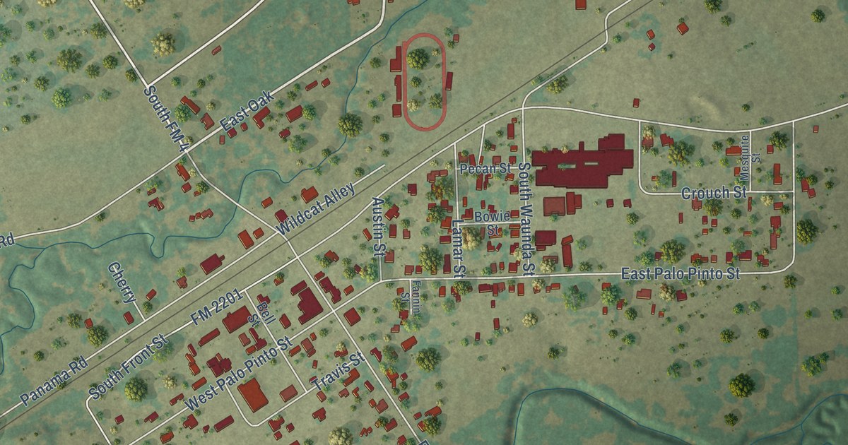
A detailed map of Santo, Texas, showing every building in its true location, the roads by name, and shaded topographical relief.
Read More















