Detailed Map of Rancho Chico, Texas
A detailed map of Rancho Chico, Texas, showing every building in its true location, the roads by name, and shaded topographical relief.
Read More
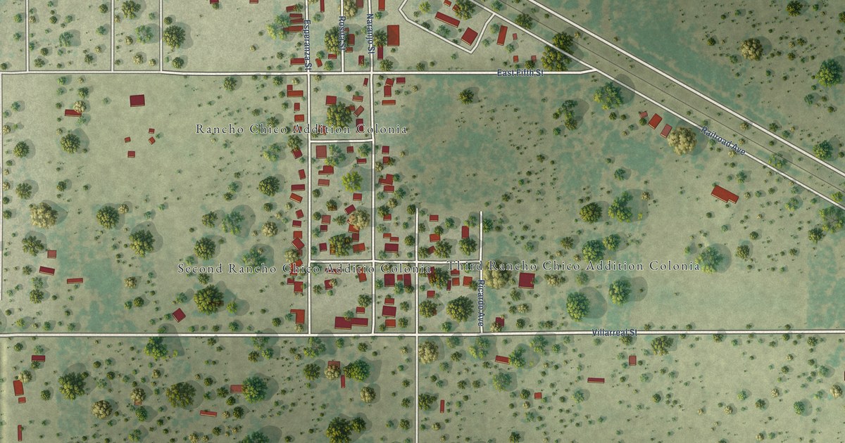
A detailed map of Rancho Chico, Texas, showing every building in its true location, the roads by name, and shaded topographical relief.
Read More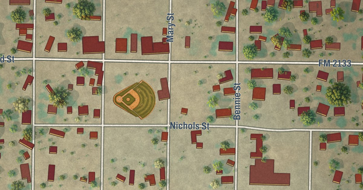
A detailed map of Rowena, Texas, showing every building in its true location, the roads by name, and shaded topographical relief.
Read More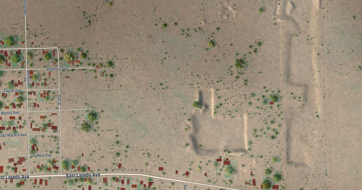
A detailed map of Oilton, Texas, showing every building in its true location, the roads by name, and shaded topographical relief.
Read More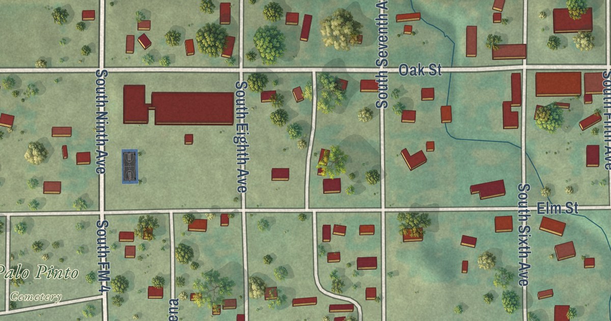
A detailed map of Palo Pinto, Texas, showing every building in its true location, the roads by name, and shaded topographical relief.
Read More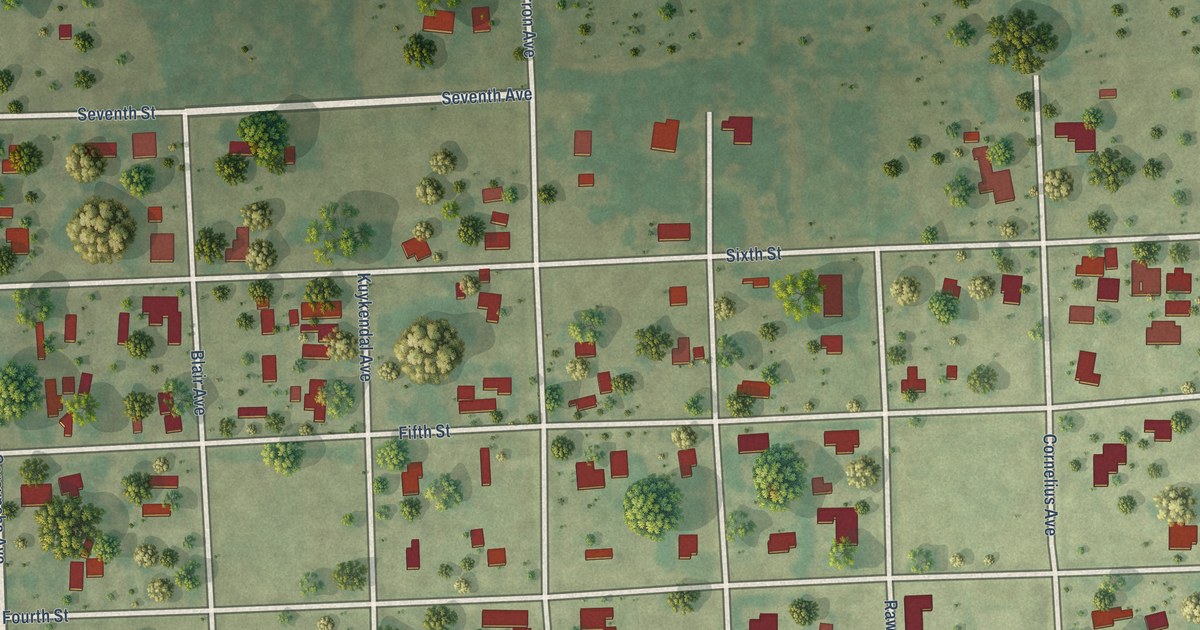
A detailed map of Midfield, Texas, showing every building in its true location, the roads by name, and shaded topographical relief.
Read More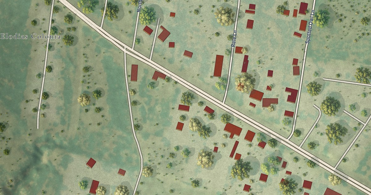
A detailed map of Los Barreras, Texas, showing every building in its true location, the roads by name, and shaded topographical relief.
Read More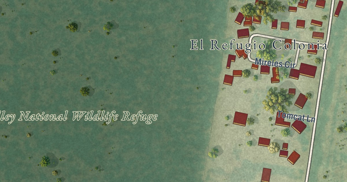
A detailed map of El Refugio, Texas, showing every building in its true location, the roads by name, and shaded topographical relief.
Read More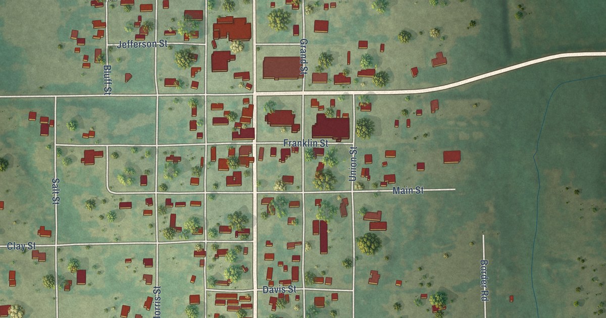
A detailed map of Montague, Texas, showing every building in its true location, the roads by name, and shaded topographical relief.
Read More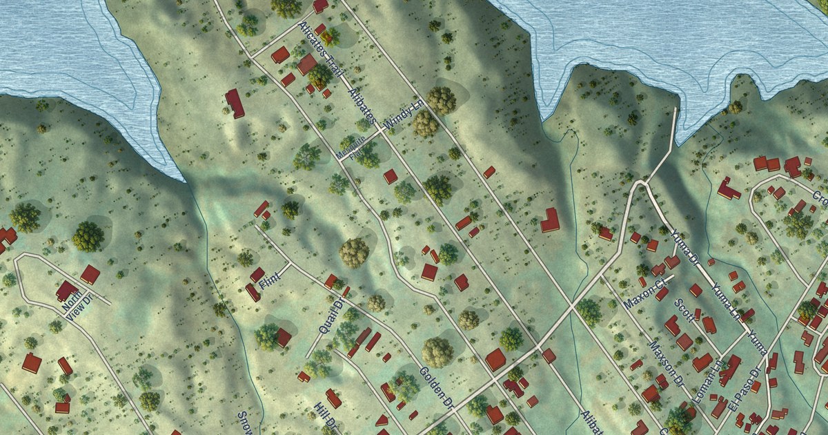
A detailed map of Lake Meredith Estates, Texas, showing every building in its true location, the roads by name, and shaded topographical relief.
Read More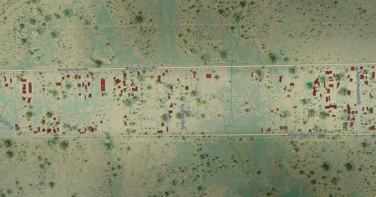
A detailed map of La Presa, Texas, showing every building in its true location, the roads by name, and shaded topographical relief.
Read More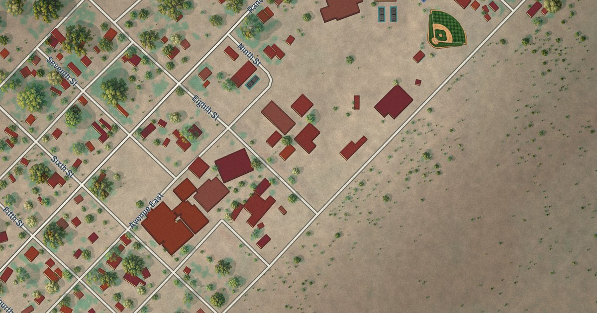
A detailed map of Bruni, Texas, showing every building in its true location, the roads by name, and shaded topographical relief.
Read More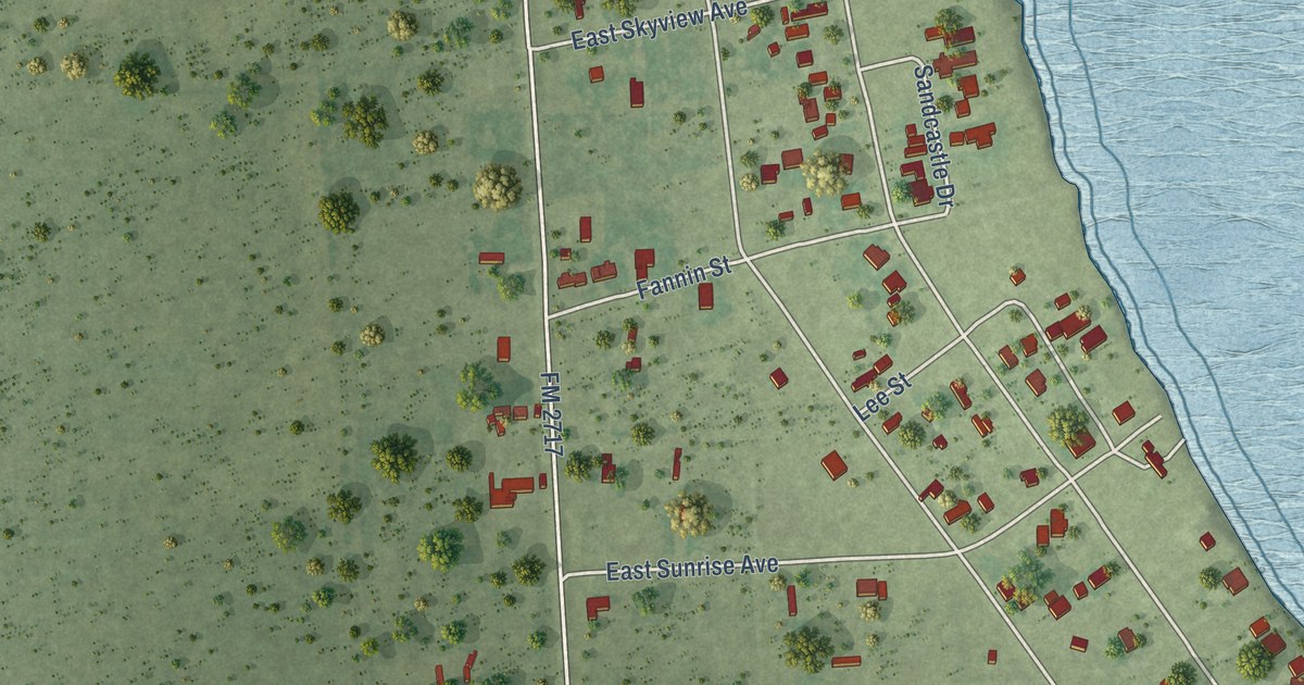
A detailed map of Alamo Beach, Texas, showing every building in its true location, the roads by name, and shaded topographical relief.
Read More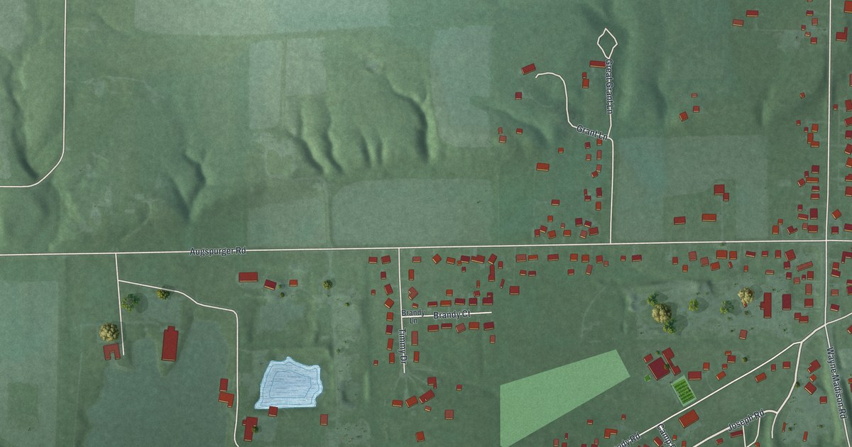
A detailed map of Woodsdale, Ohio, showing every building in its true location, the roads by name, and shaded topographical relief.
Read More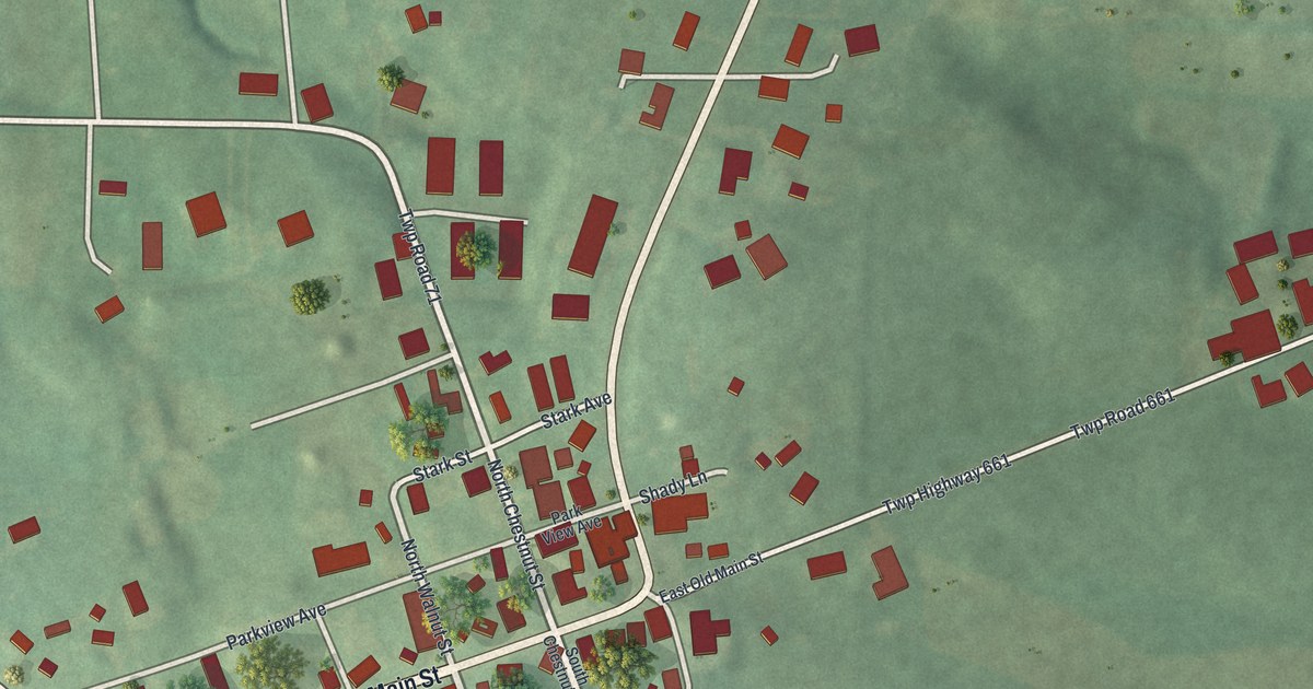
A detailed map of Winesburg, Ohio, showing every building in its true location, the roads by name, and shaded topographical relief.
Read More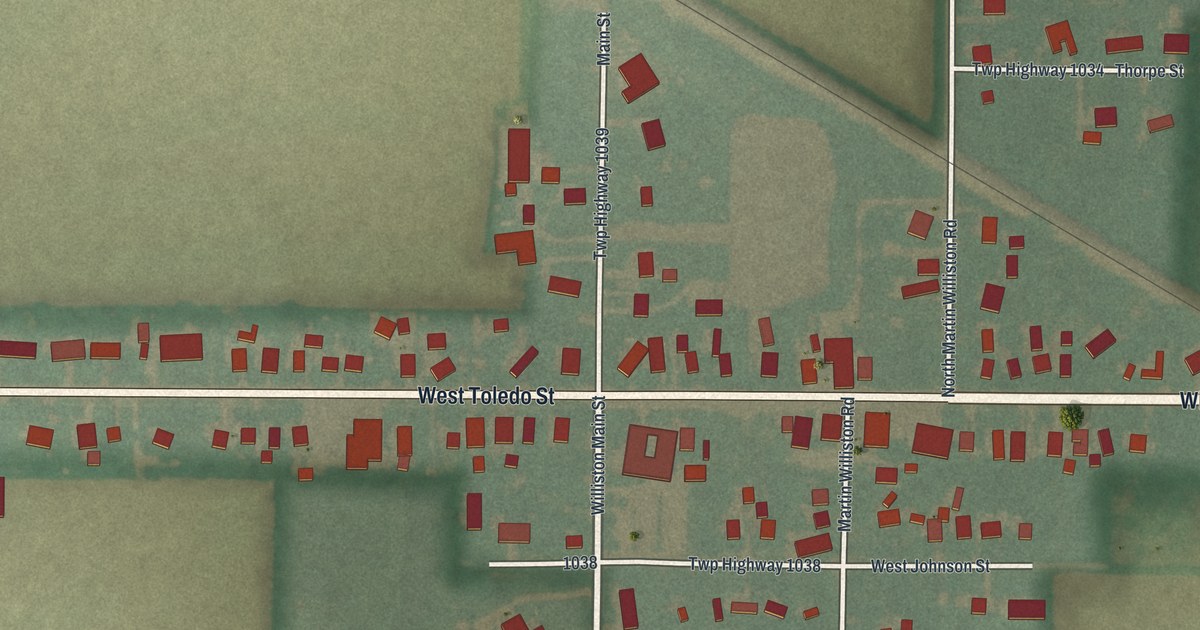
A detailed map of Williston, Ohio, showing every building in its true location, the roads by name, and shaded topographical relief.
Read More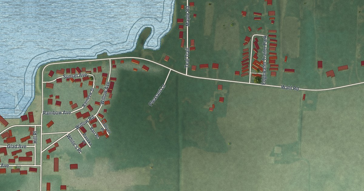
A detailed map of Whites Landing, Ohio, showing every building in its true location, the roads by name, and shaded topographical relief.
Read More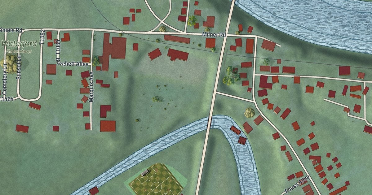
A detailed map of Waterford, Ohio, showing every building in its true location, the roads by name, and shaded topographical relief.
Read More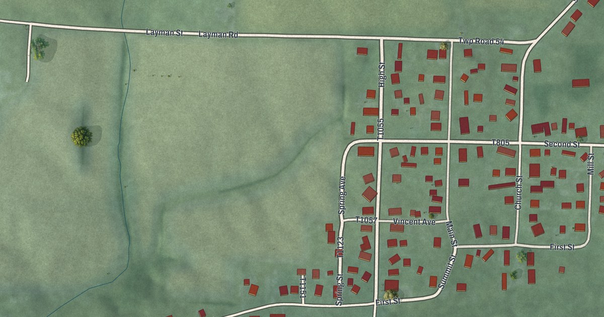
A detailed map of Vincent, Ohio, showing every building in its true location, the roads by name, and shaded topographical relief.
Read More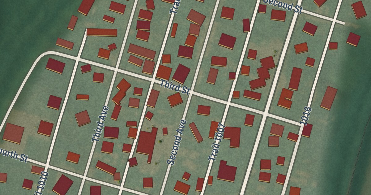
A detailed map of Trinway, Ohio, showing every building in its true location, the roads by name, and shaded topographical relief.
Read More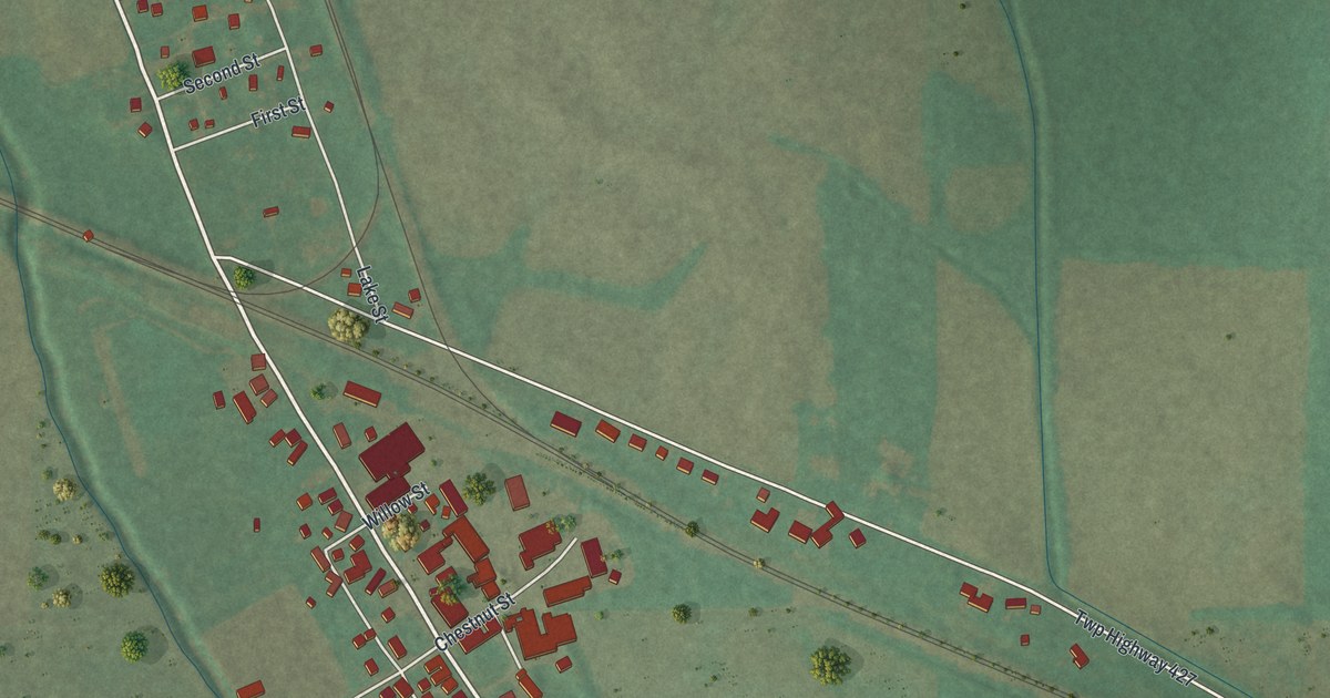
A detailed map of Sterling, Ohio, showing every building in its true location, the roads by name, and shaded topographical relief.
Read More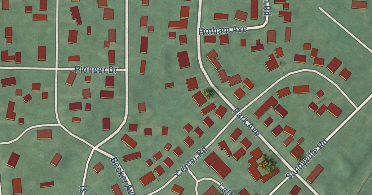
A detailed map of Sandyville, Ohio, showing every building in its true location, the roads by name, and shaded topographical relief.
Read More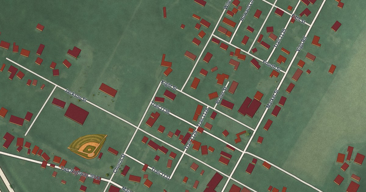
A detailed map of Richmond Dale, Ohio, showing every building in its true location, the roads by name, and shaded topographical relief.
Read More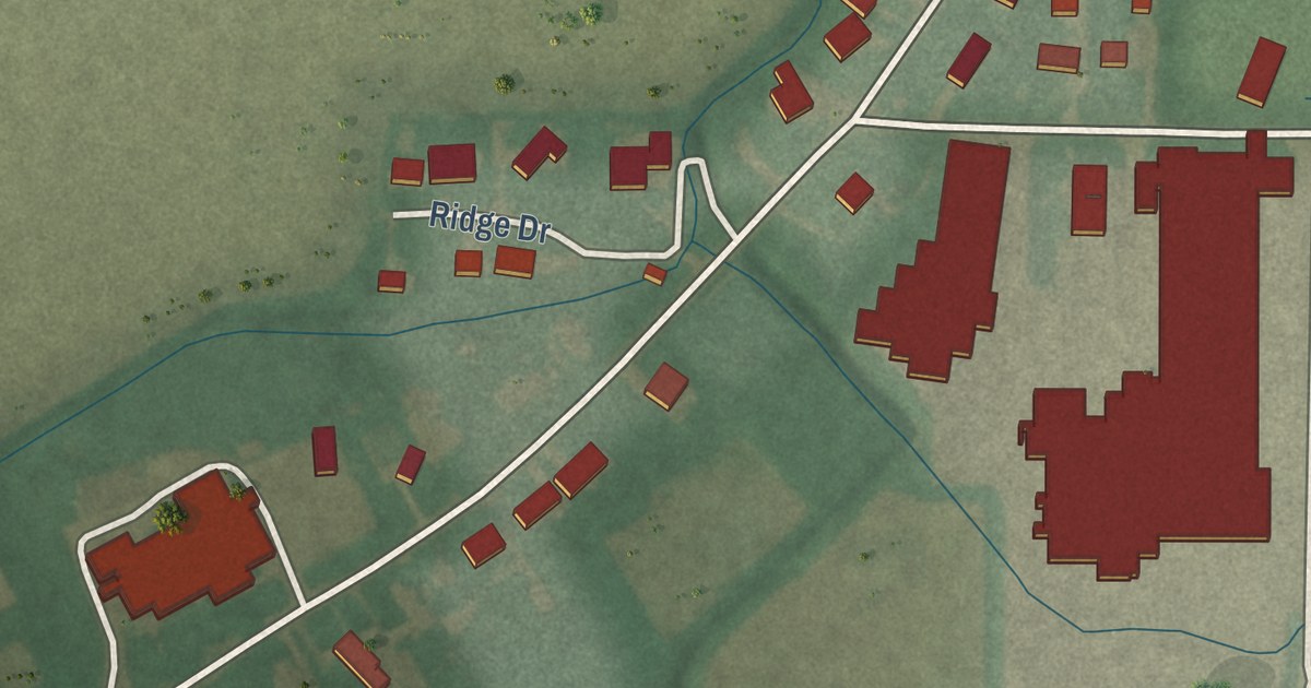
A detailed map of Ridgeville Corners, Ohio, showing every building in its true location, the roads by name, and shaded topographical relief.
Read More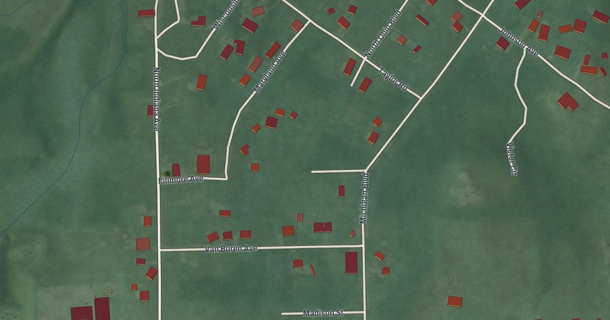
A detailed map of Salem Heights, Ohio, showing every building in its true location, the roads by name, and shaded topographical relief.
Read More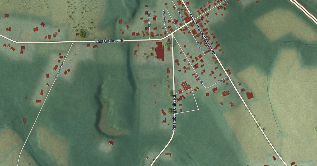
A detailed map of Petersburg, Ohio, showing every building in its true location, the roads by name, and shaded topographical relief.
Read More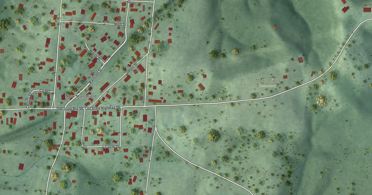
A detailed map of New Marshfield, Ohio, showing every building in its true location, the roads by name, and shaded topographical relief.
Read More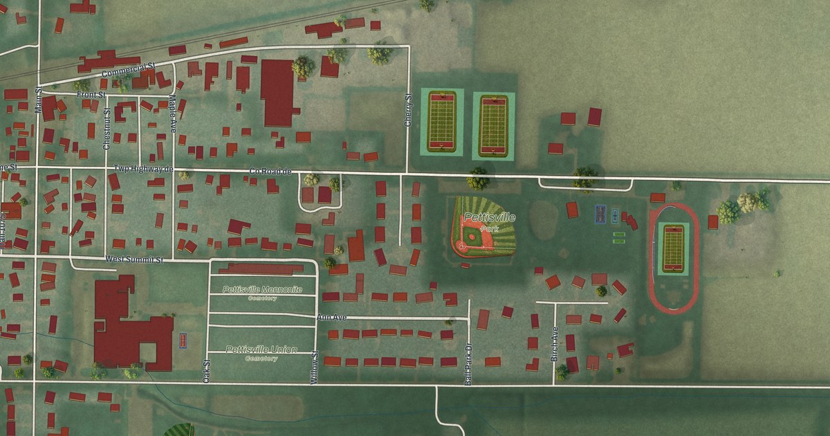
A detailed map of Pettisville, Ohio, showing every building in its true location, the roads by name, and shaded topographical relief.
Read More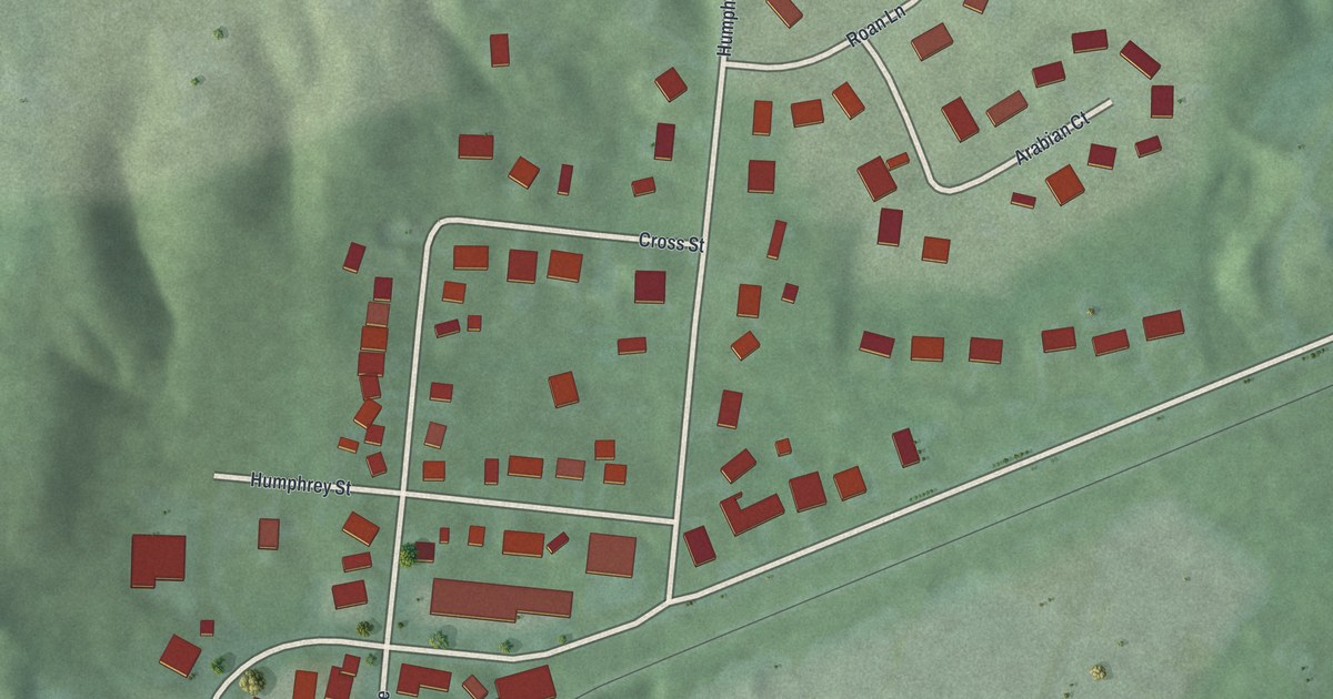
A detailed map of Remington, Ohio, showing every building in its true location, the roads by name, and shaded topographical relief.
Read More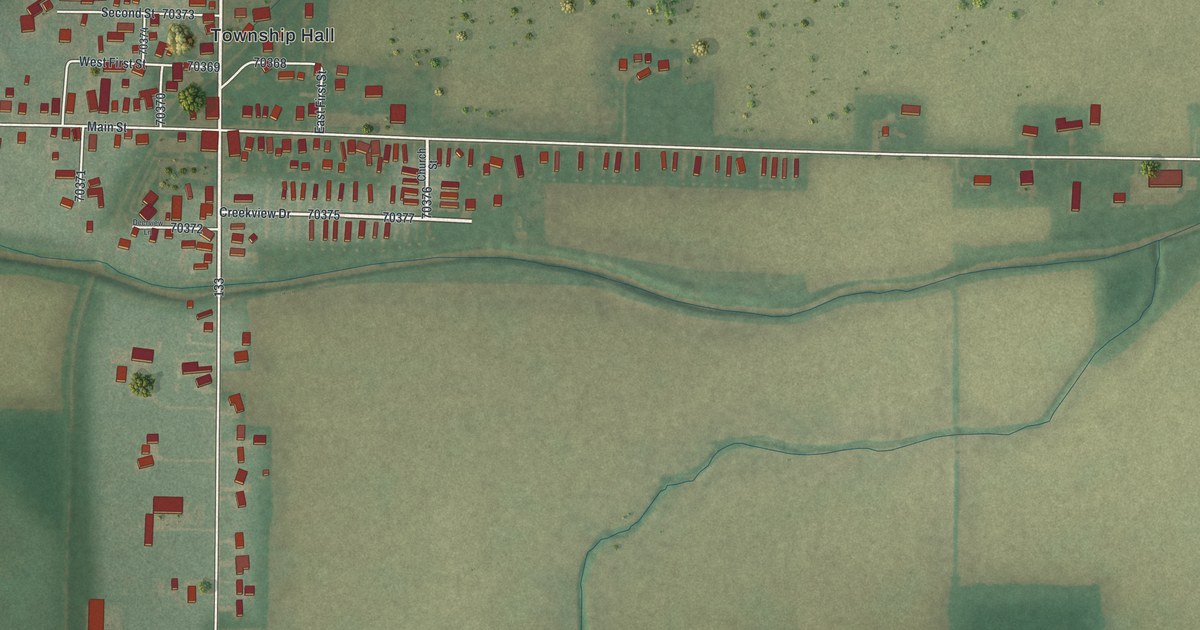
A detailed map of Rudolph, Ohio, showing every building in its true location, the roads by name, and shaded topographical relief.
Read More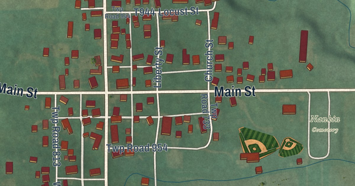
A detailed map of Nankin, Ohio, showing every building in its true location, the roads by name, and shaded topographical relief.
Read More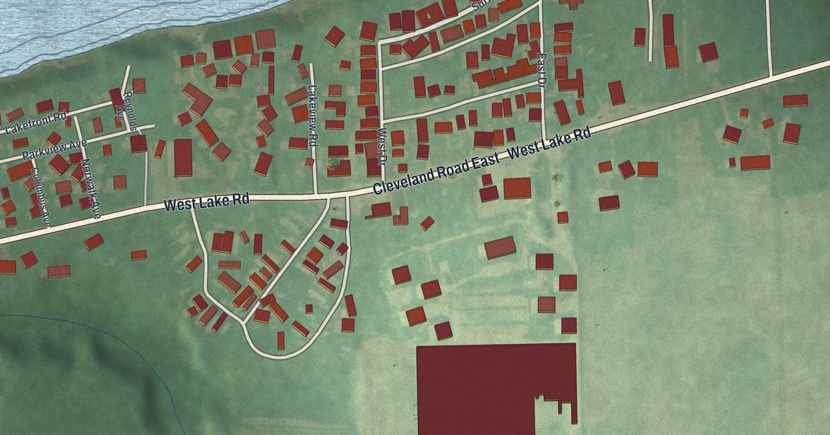
A detailed map of Mitiwanga, Ohio, showing every building in its true location, the roads by name, and shaded topographical relief.
Read More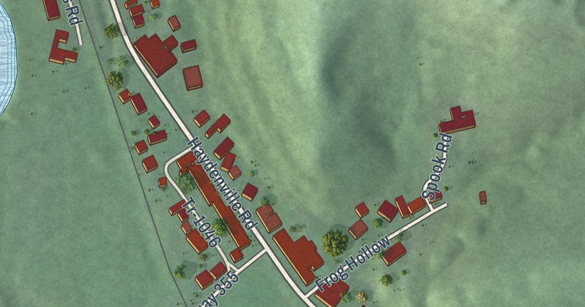
A detailed map of Haydenville, Ohio, showing every building in its true location, the roads by name, and shaded topographical relief.
Read More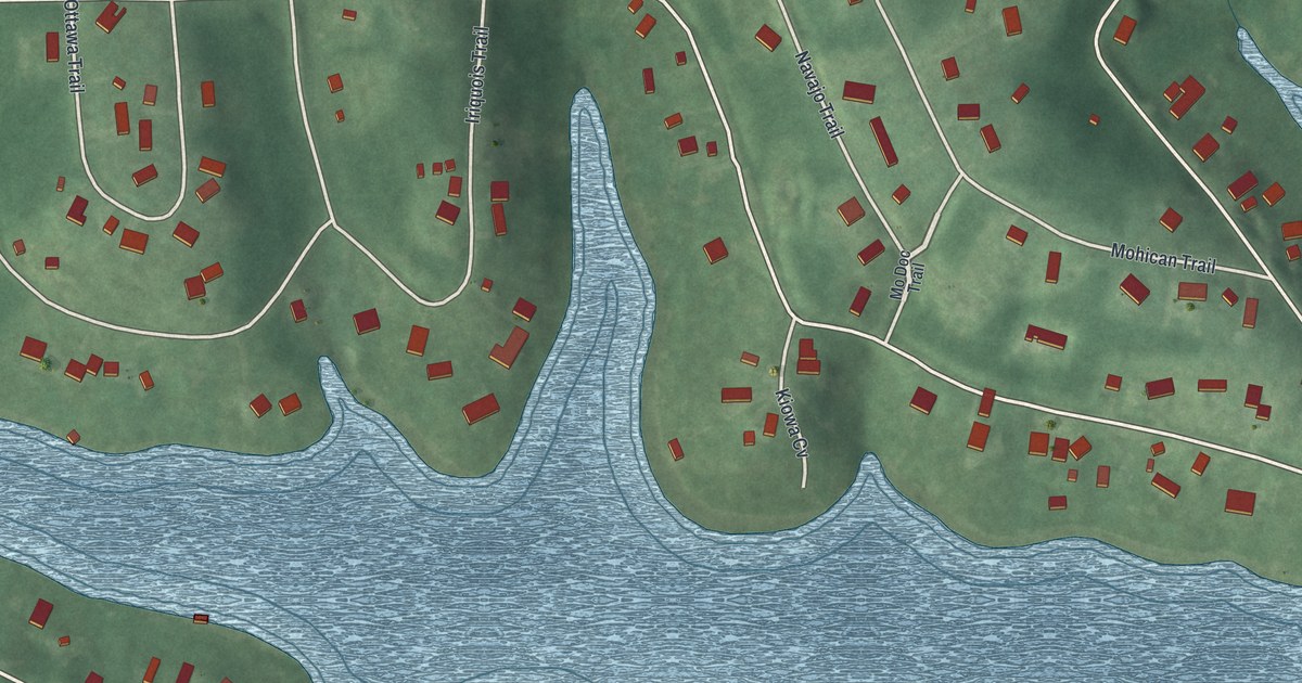
A detailed map of Lake Tomahawk, Ohio, showing every building in its true location, the roads by name, and shaded topographical relief.
Read More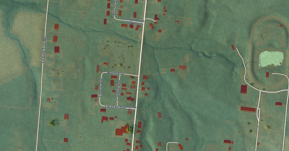
A detailed map of Jacksontown, Ohio, showing every building in its true location, the roads by name, and shaded topographical relief.
Read More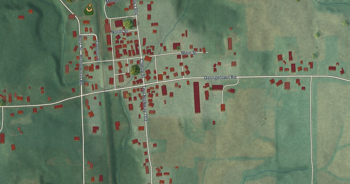
A detailed map of Homeworth, Ohio, showing every building in its true location, the roads by name, and shaded topographical relief.
Read More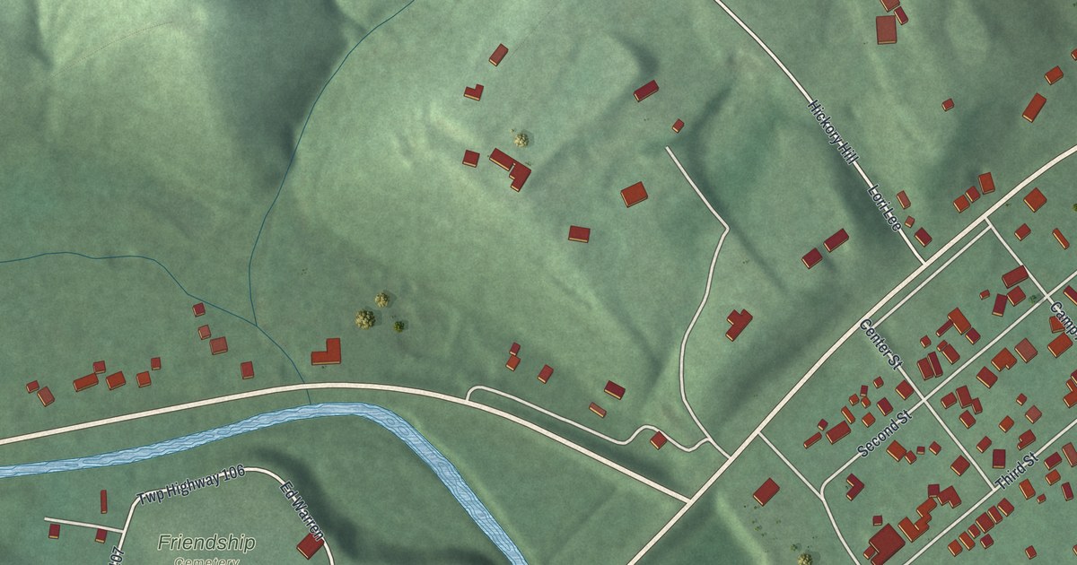
A detailed map of Friendship, Ohio, showing every building in its true location, the roads by name, and shaded topographical relief.
Read More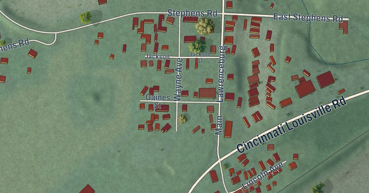
A detailed map of Elizabethtown, Ohio, showing every building in its true location, the roads by name, and shaded topographical relief.
Read More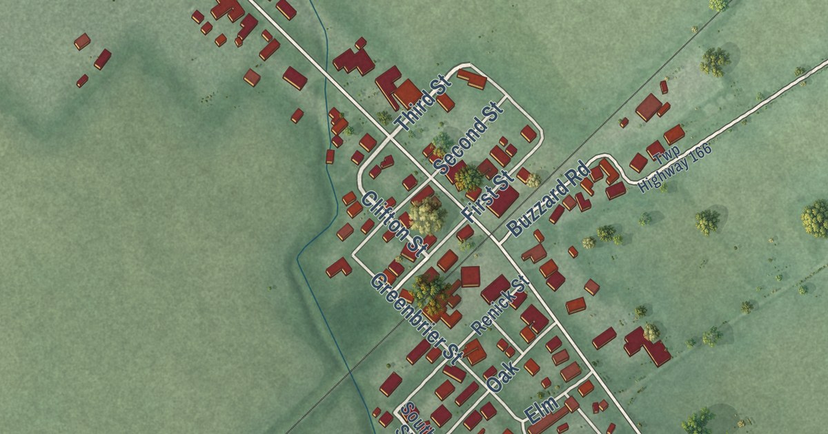
A detailed map of Derby, Ohio, showing every building in its true location, the roads by name, and shaded topographical relief.
Read More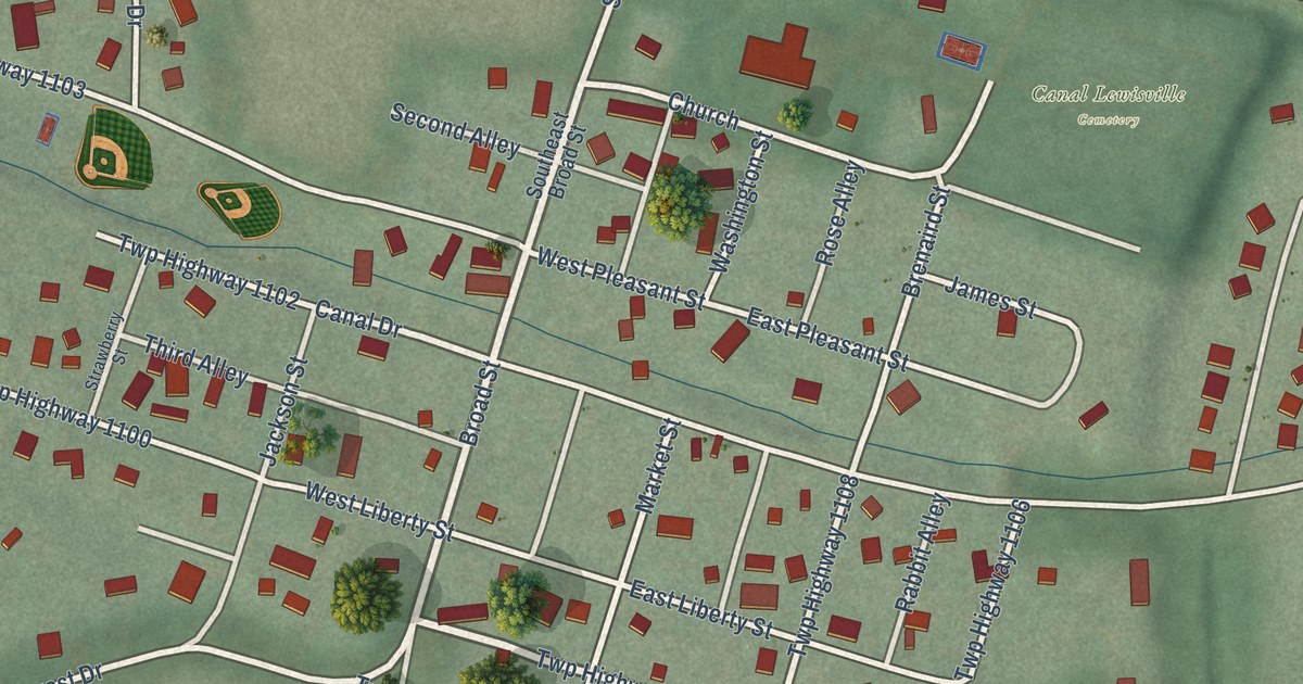
A detailed map of Canal Lewisville, Ohio, showing every building in its true location, the roads by name, and shaded topographical relief.
Read More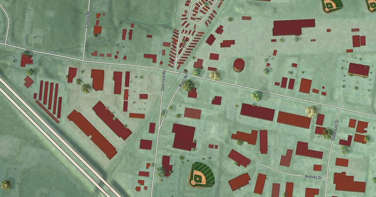
A detailed map of Brecon, Ohio, showing every building in its true location, the roads by name, and shaded topographical relief.
Read More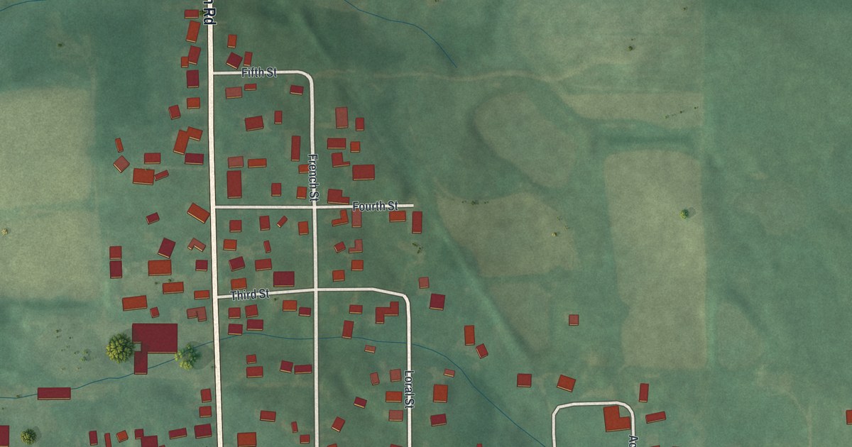
A detailed map of Damascus, Ohio, showing every building in its true location, the roads by name, and shaded topographical relief.
Read More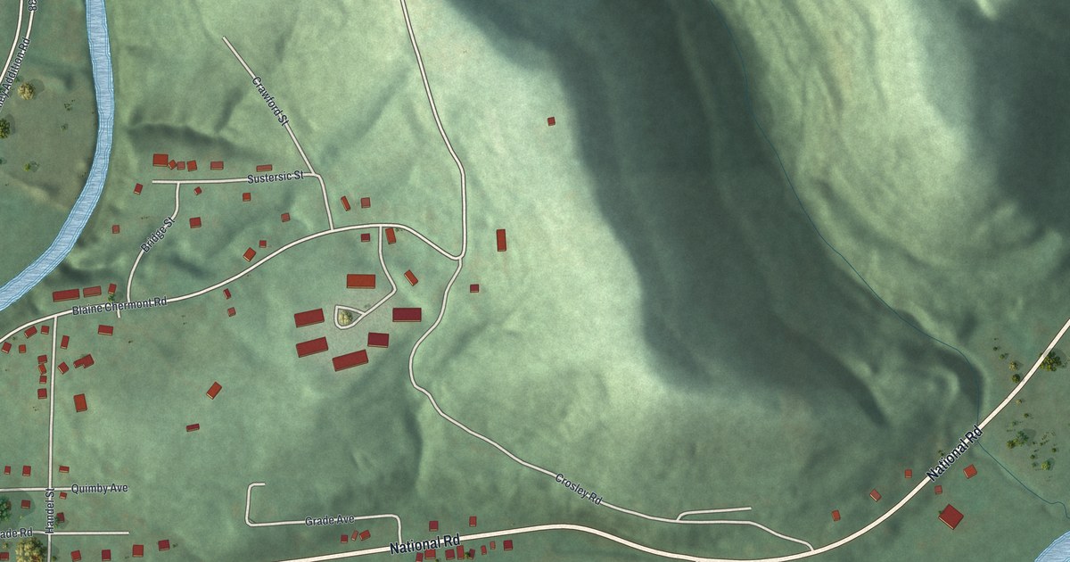
A detailed map of Blaine, Ohio, showing every building in its true location, the roads by name, and shaded topographical relief.
Read More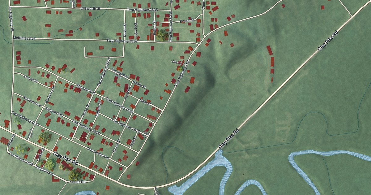
A detailed map of Buffalo, Ohio, showing every building in its true location, the roads by name, and shaded topographical relief.
Read More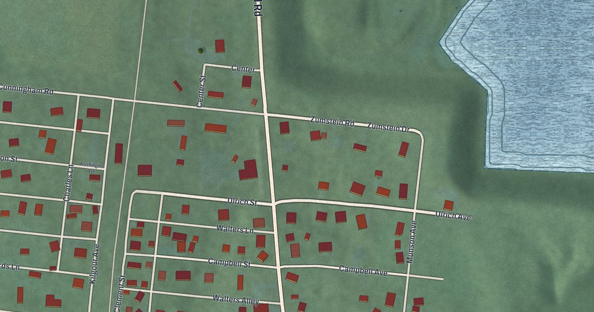
A detailed map of Camp Dennison, Ohio, showing every building in its true location, the roads by name, and shaded topographical relief.
Read More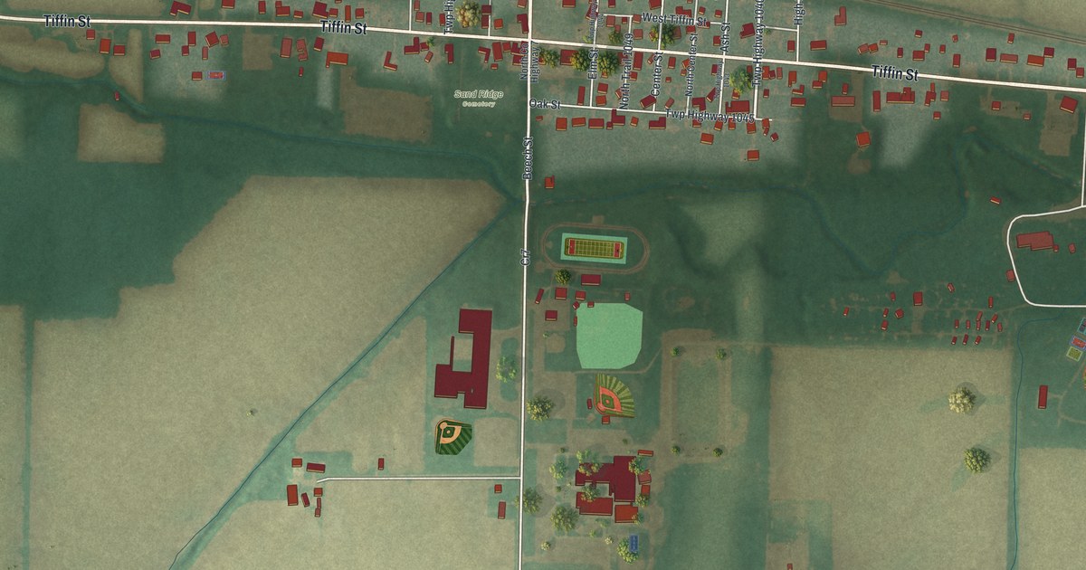
A detailed map of Bascom, Ohio, showing every building in its true location, the roads by name, and shaded topographical relief.
Read More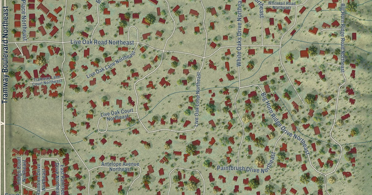
A detailed map of Sandia Heights, New Mexico, showing every building in its true location, the roads by name, and shaded topographical relief.
Read More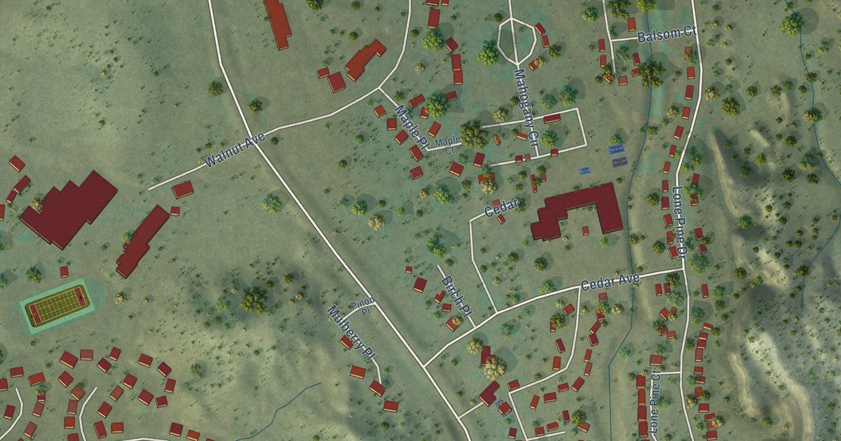
A detailed map of Navajo, New Mexico, showing every building in its true location, the roads by name, and shaded topographical relief.
Read More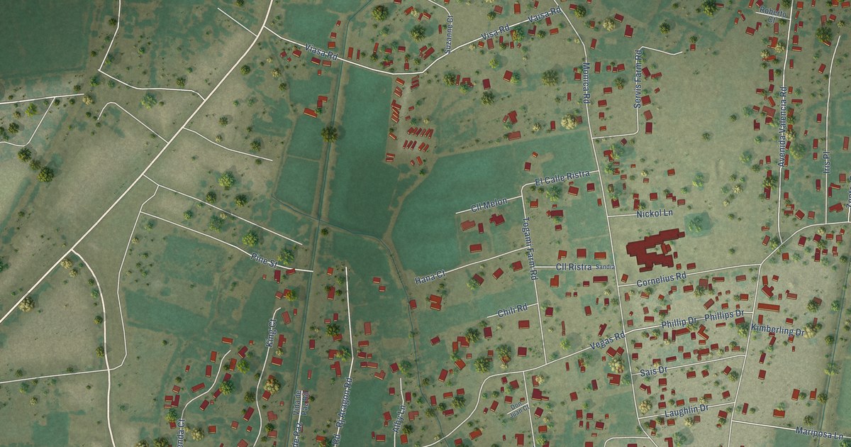
A detailed map of Valencia, New Mexico, showing every building in its true location, the roads by name, and shaded topographical relief.
Read More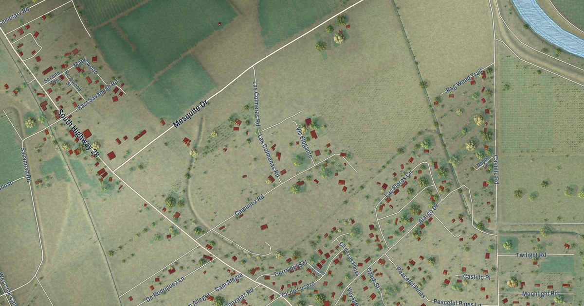
A detailed map of San Miguel, New Mexico, showing every building in its true location, the roads by name, and shaded topographical relief.
Read More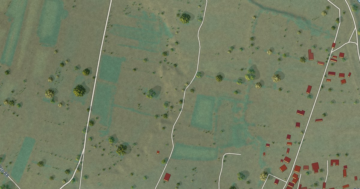
A detailed map of Santo Domingo Pueblo, New Mexico, showing every building in its true location, the roads by name, and shaded topographical relief.
Read More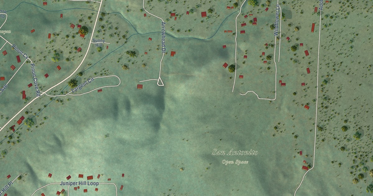
A detailed map of San Antonito, New Mexico, showing every building in its true location, the roads by name, and shaded topographical relief.
Read More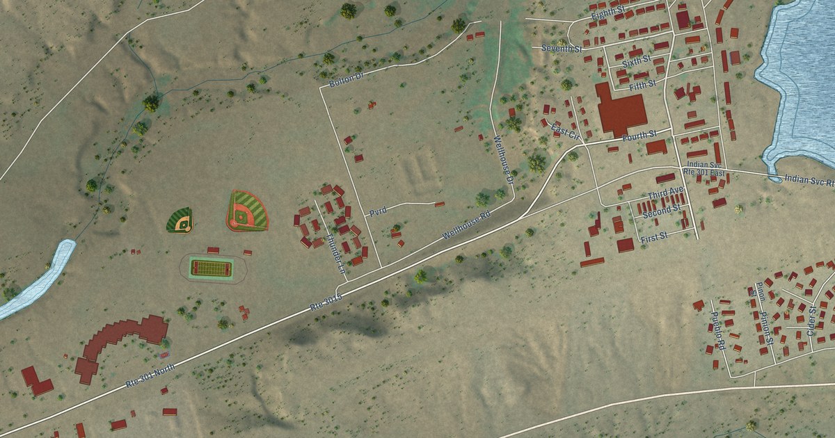
A detailed map of Black Rock, New Mexico, showing every building in its true location, the roads by name, and shaded topographical relief.
Read More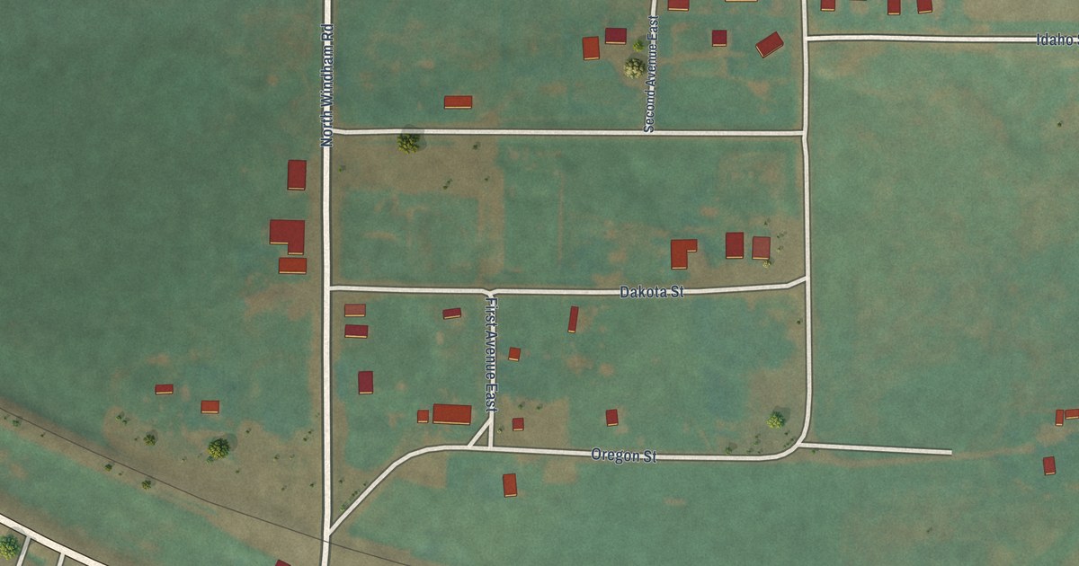
A detailed map of Windham, Montana, showing every building in its true location, the roads by name, and shaded topographical relief.
Read More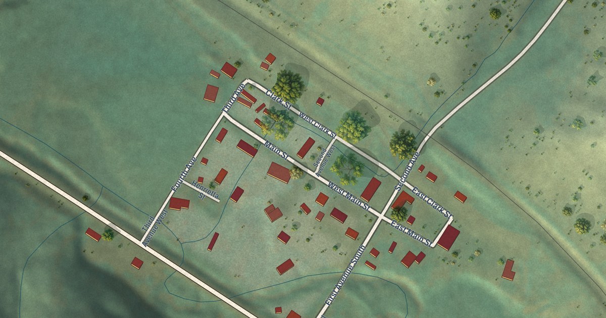
A detailed map of Raynesford, Montana, showing every building in its true location, the roads by name, and shaded topographical relief.
Read More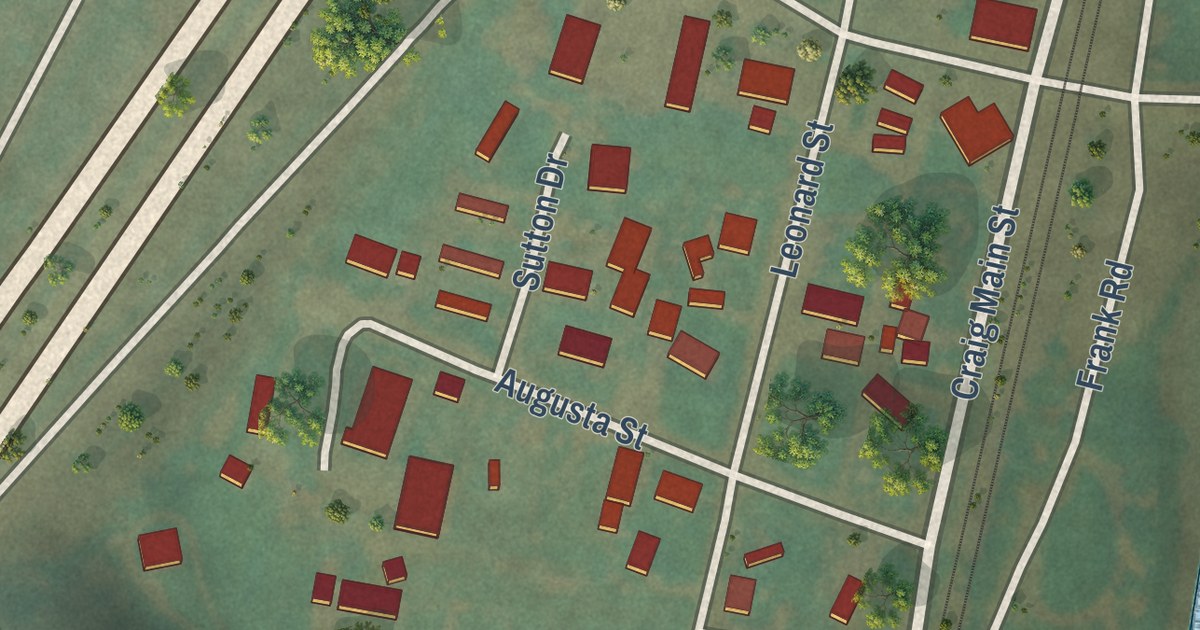
A detailed map of Craig, Montana, showing every building in its true location, the roads by name, and shaded topographical relief.
Read More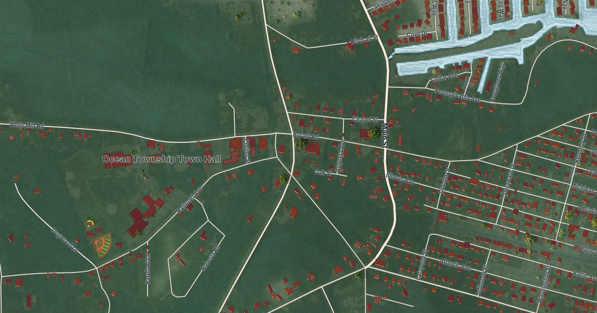
A detailed map of Waretown, New Jersey, showing every building in its true location, the roads by name, and shaded topographical relief.
Read More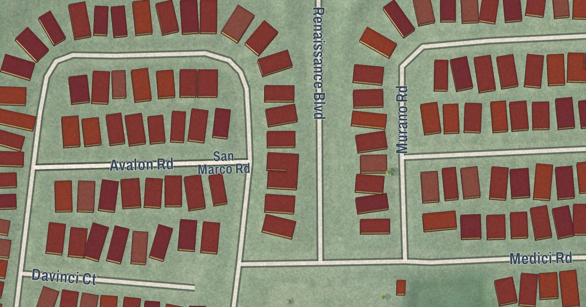
A detailed map of Renaissance at Monroe, New Jersey, showing every building in its true location, the roads by name, and shaded topographical relief.
Read More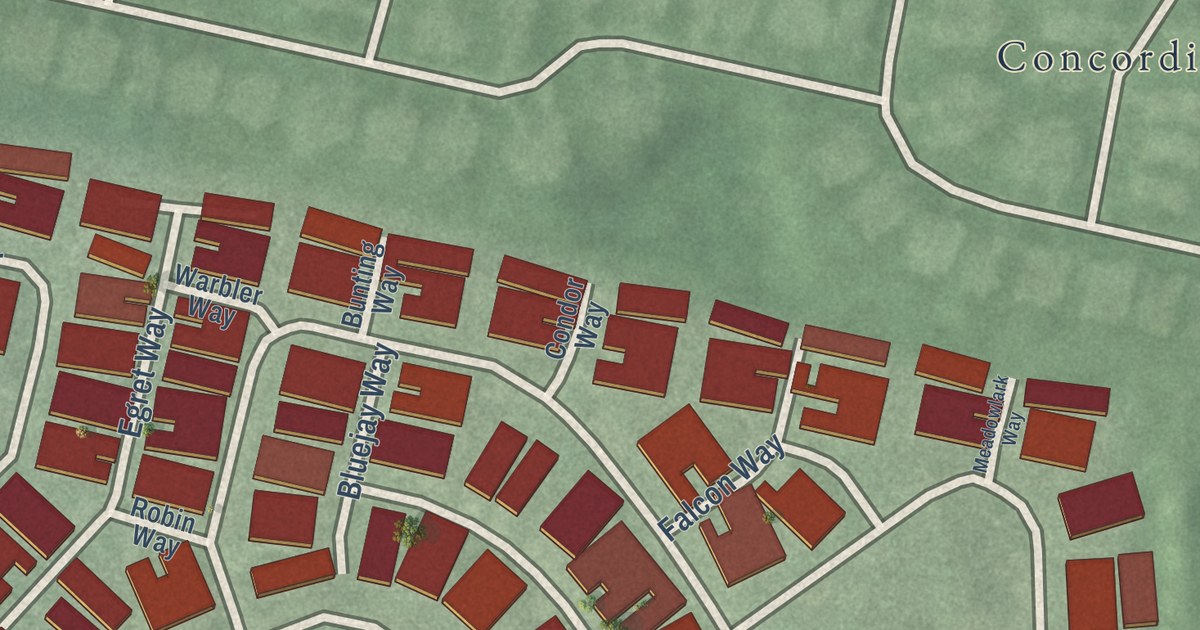
A detailed map of The Ponds, New Jersey, showing every building in its true location, the roads by name, and shaded topographical relief.
Read More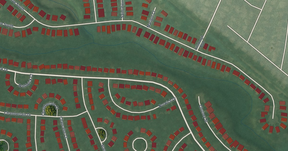
A detailed map of Silver Ridge, New Jersey, showing every building in its true location, the roads by name, and shaded topographical relief.
Read More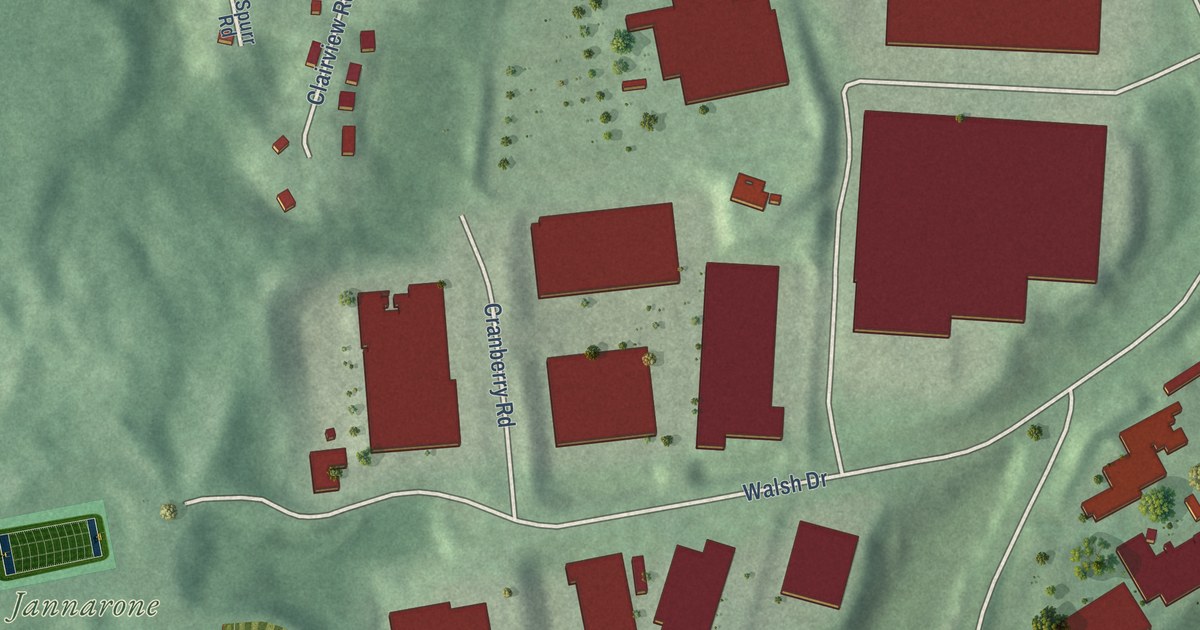
A detailed map of Rainbow Lakes, New Jersey, showing every building in its true location, the roads by name, and shaded topographical relief.
Read More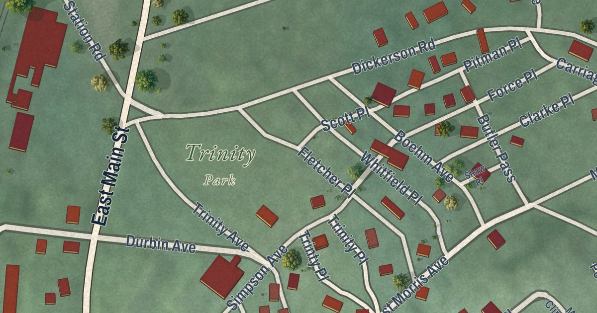
A detailed map of Mount Tabor, New Jersey, showing every building in its true location, the roads by name, and shaded topographical relief.
Read More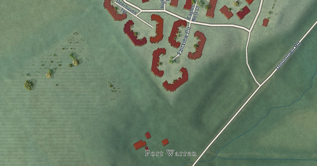
A detailed map of Lopatcong Overlook, New Jersey, showing every building in its true location, the roads by name, and shaded topographical relief.
Read More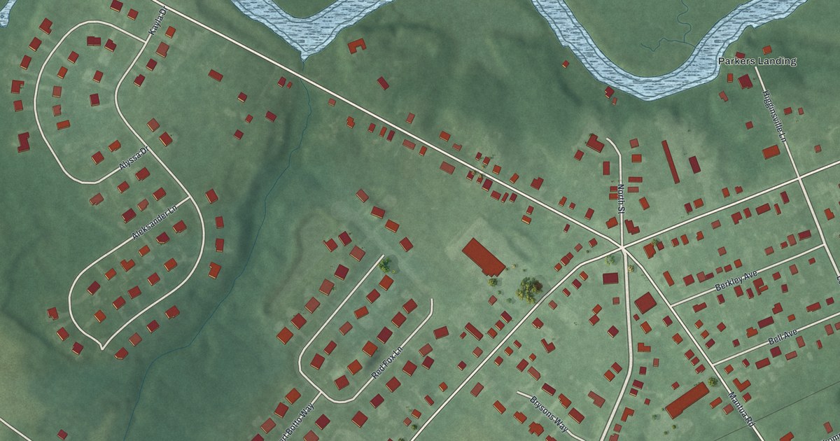
A detailed map of Mount Royal, New Jersey, showing every building in its true location, the roads by name, and shaded topographical relief.
Read More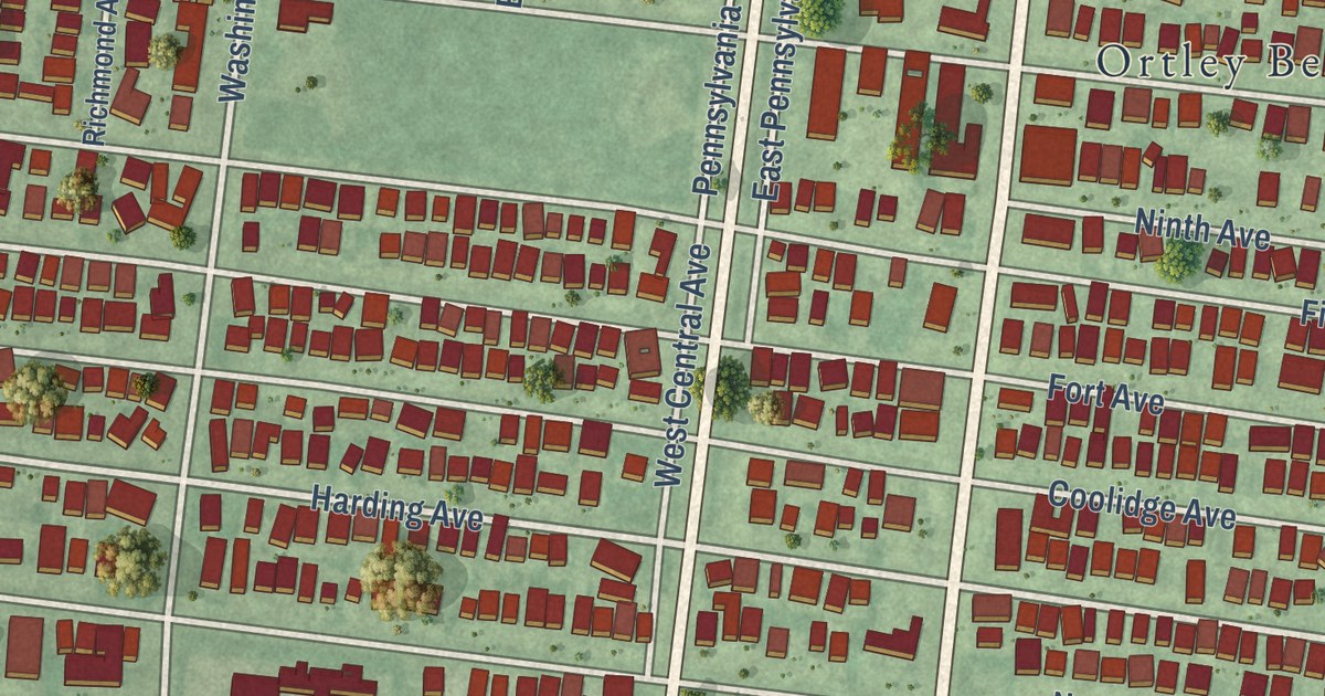
A detailed map of Dover Beaches South, New Jersey, showing every building in its true location, the roads by name, and shaded topographical relief.
Read More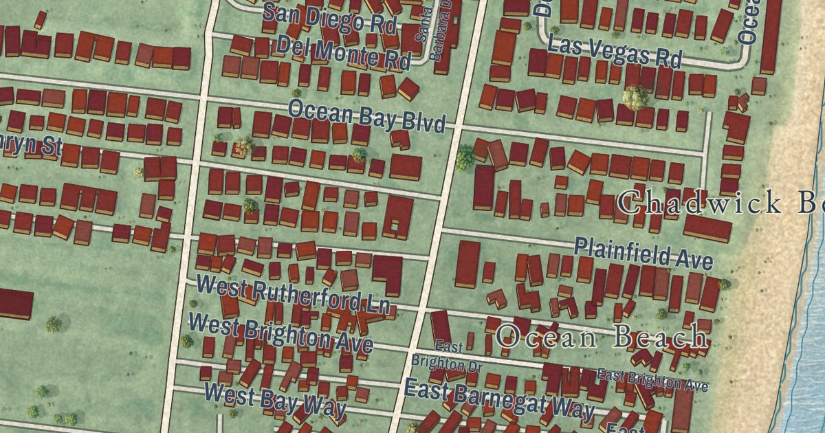
A detailed map of Dover Beaches North, New Jersey, showing every building in its true location, the roads by name, and shaded topographical relief.
Read More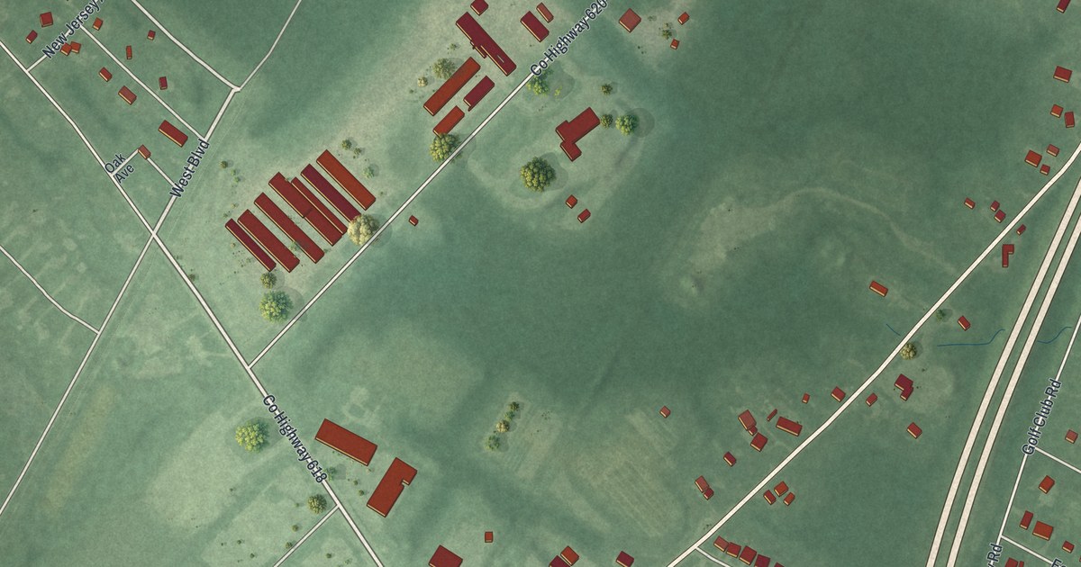
A detailed map of Burleigh, New Jersey, showing every building in its true location, the roads by name, and shaded topographical relief.
Read More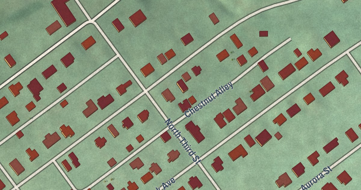
A detailed map of Delaware Park, New Jersey, showing every building in its true location, the roads by name, and shaded topographical relief.
Read More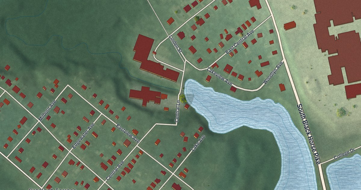
A detailed map of Grenloch, New Jersey, showing every building in its true location, the roads by name, and shaded topographical relief.
Read More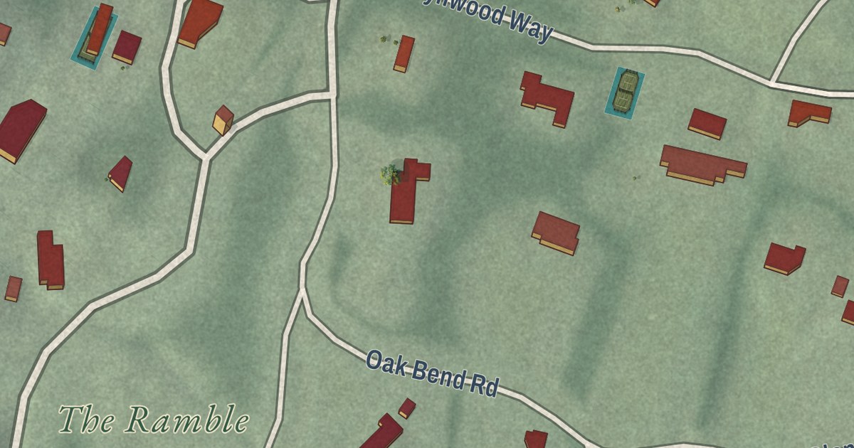
A detailed map of Llewellyn Park, New Jersey, showing every building in its true location, the roads by name, and shaded topographical relief.
Read More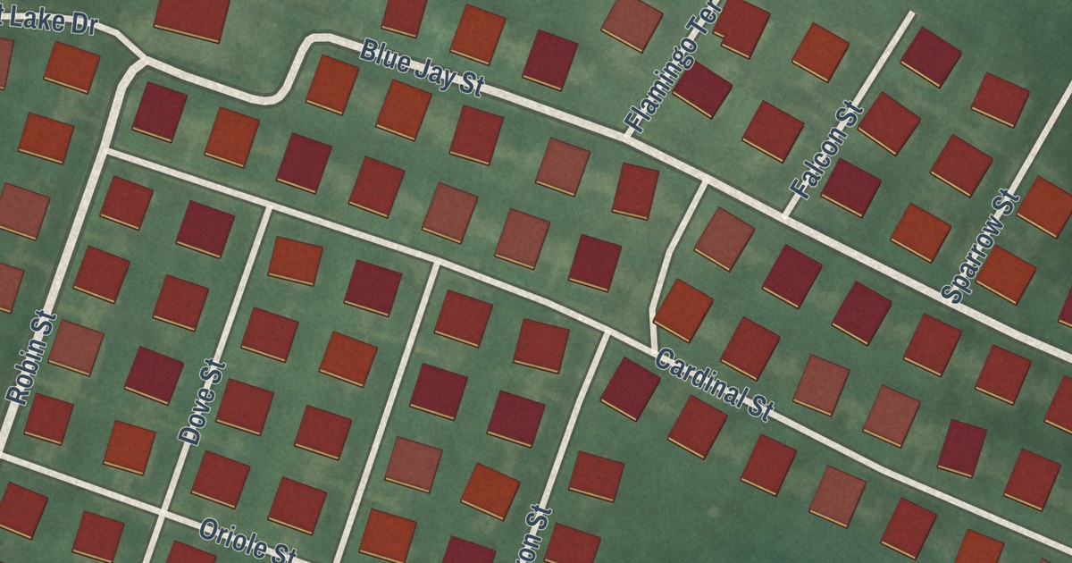
A detailed map of Cedar Glen West, New Jersey, showing every building in its true location, the roads by name, and shaded topographical relief.
Read More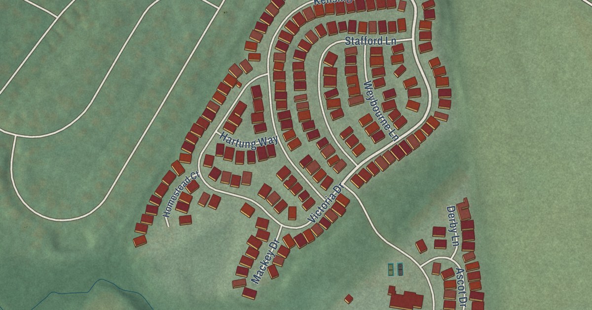
A detailed map of Brookfield, New Jersey, showing every building in its true location, the roads by name, and shaded topographical relief.
Read More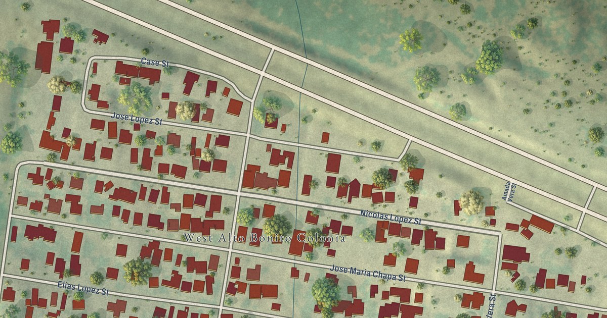
A detailed map of West Alto Bonito, Texas, showing every building in its true location, the roads by name, and shaded topographical relief.
Read More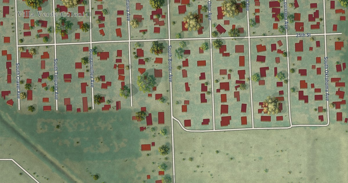
A detailed map of Villa Verde, Texas, showing every building in its true location, the roads by name, and shaded topographical relief.
Read More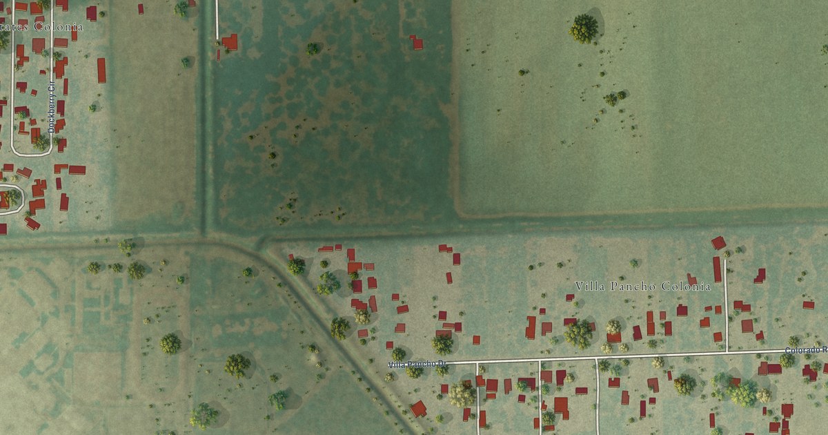
A detailed map of Villa Pancho, Texas, showing every building in its true location, the roads by name, and shaded topographical relief.
Read More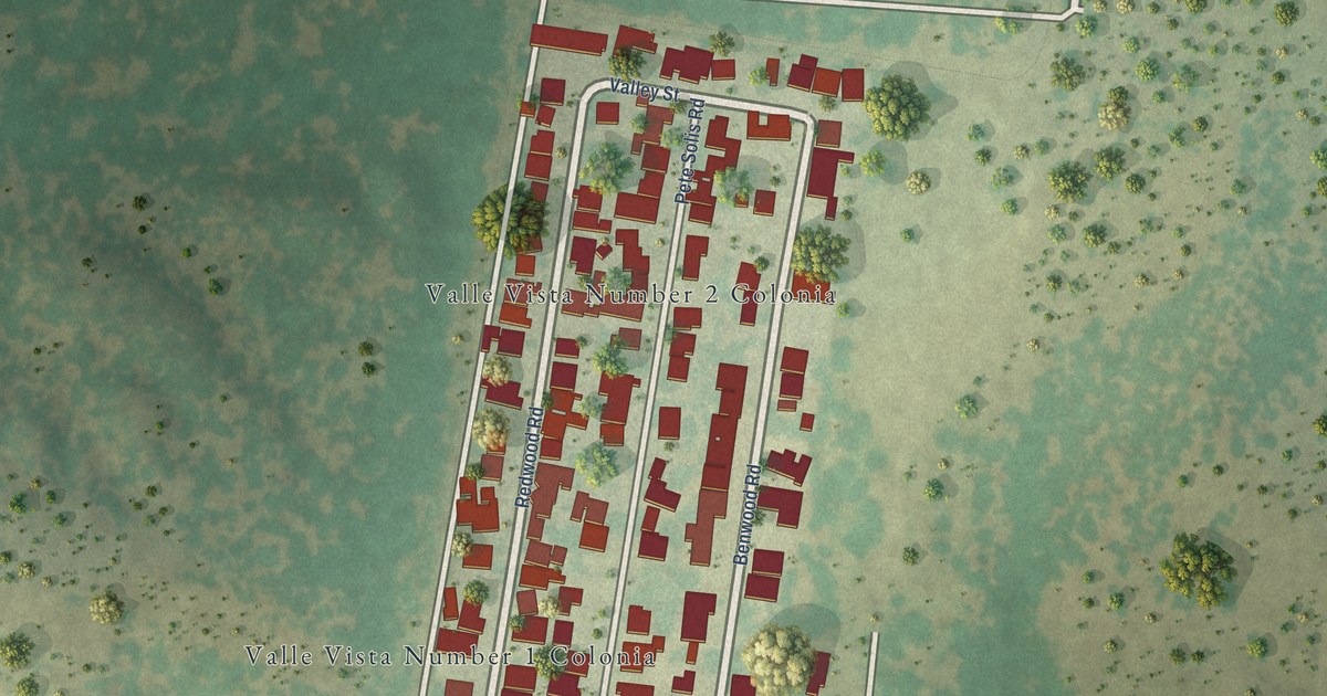
A detailed map of Valle Vista, Texas, showing every building in its true location, the roads by name, and shaded topographical relief.
Read More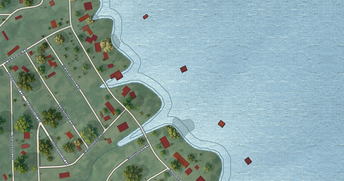
A detailed map of Sunrise Shores, Texas, showing every building in its true location, the roads by name, and shaded topographical relief.
Read More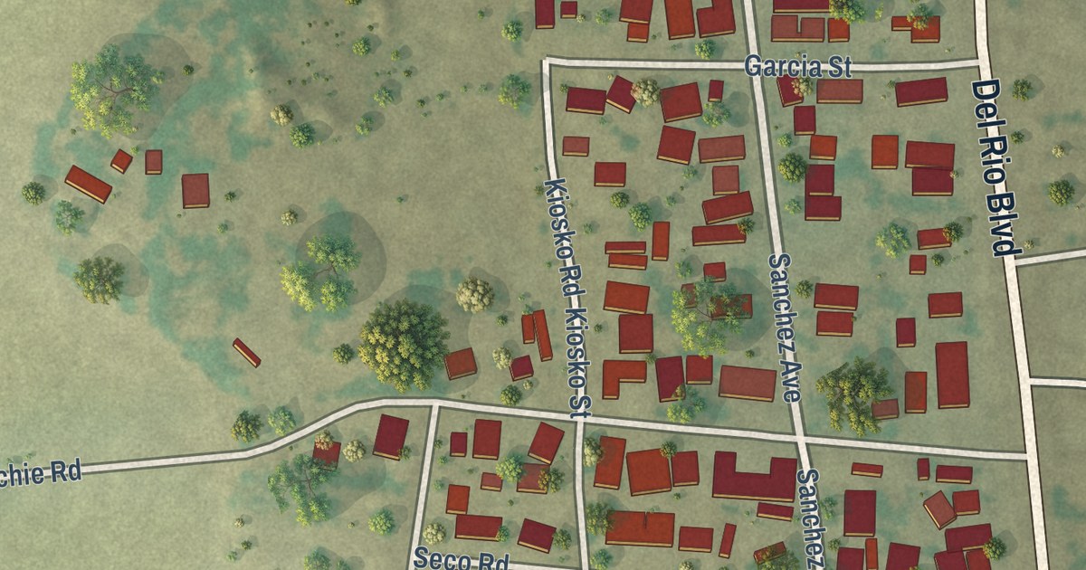
A detailed map of Seco Mines, Texas, showing every building in its true location, the roads by name, and shaded topographical relief.
Read More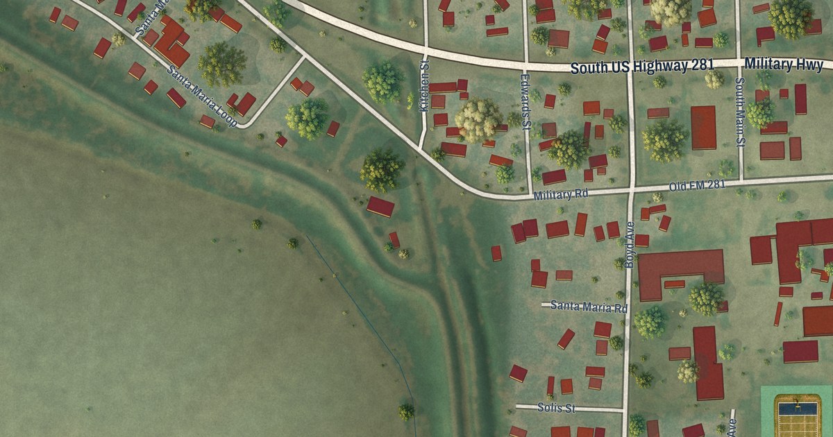
A detailed map of Santa Maria, Texas, showing every building in its true location, the roads by name, and shaded topographical relief.
Read More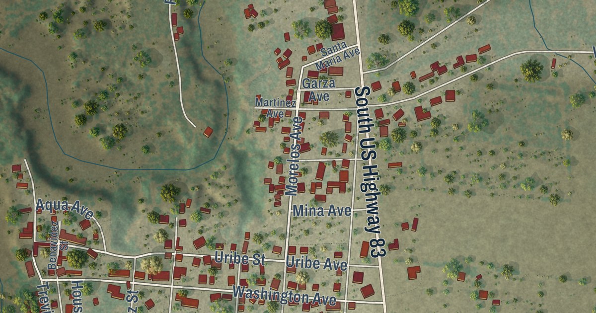
A detailed map of San Ygnacio, Texas, showing every building in its true location, the roads by name, and shaded topographical relief.
Read More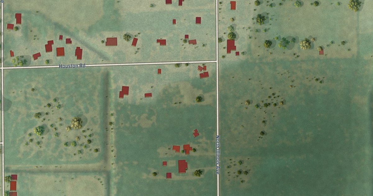
A detailed map of Reid Hope King, Texas, showing every building in its true location, the roads by name, and shaded topographical relief.
Read More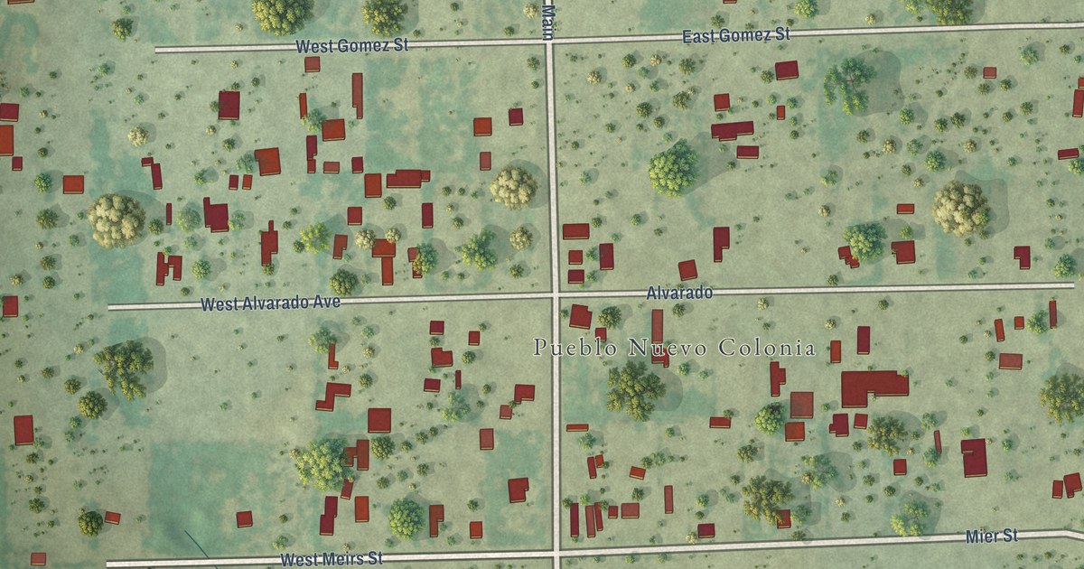
A detailed map of Pueblo Nuevo, Texas, showing every building in its true location, the roads by name, and shaded topographical relief.
Read More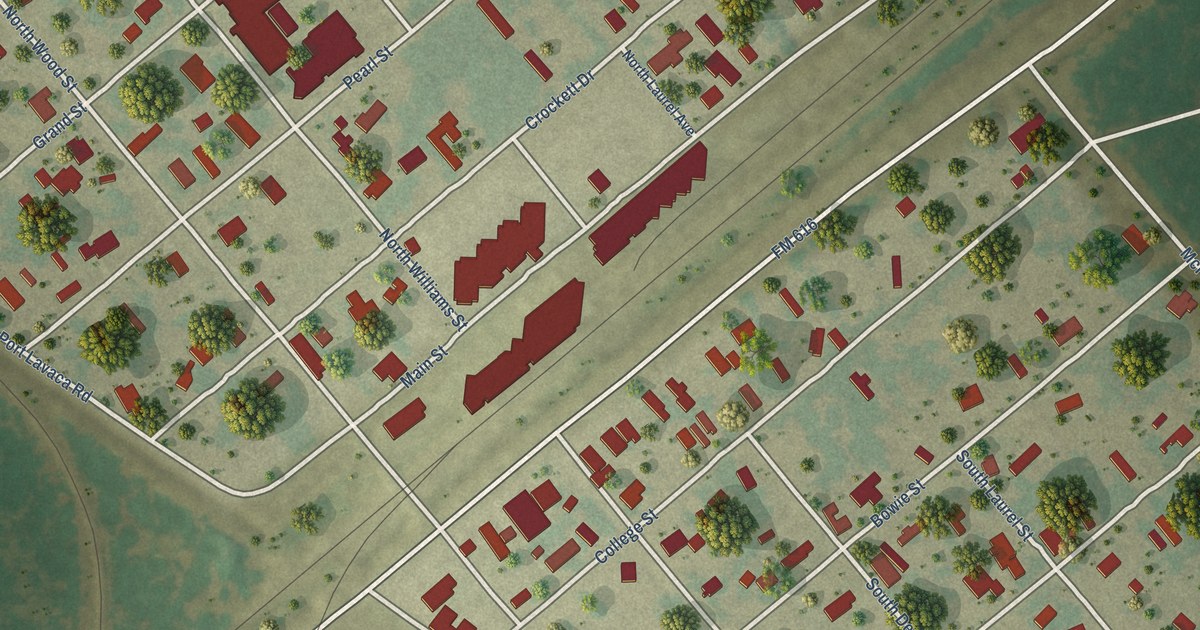
A detailed map of Placedo, Texas, showing every building in its true location, the roads by name, and shaded topographical relief.
Read More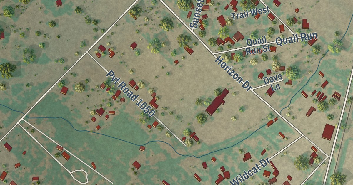
A detailed map of North Pearsall, Texas, showing every building in its true location, the roads by name, and shaded topographical relief.
Read More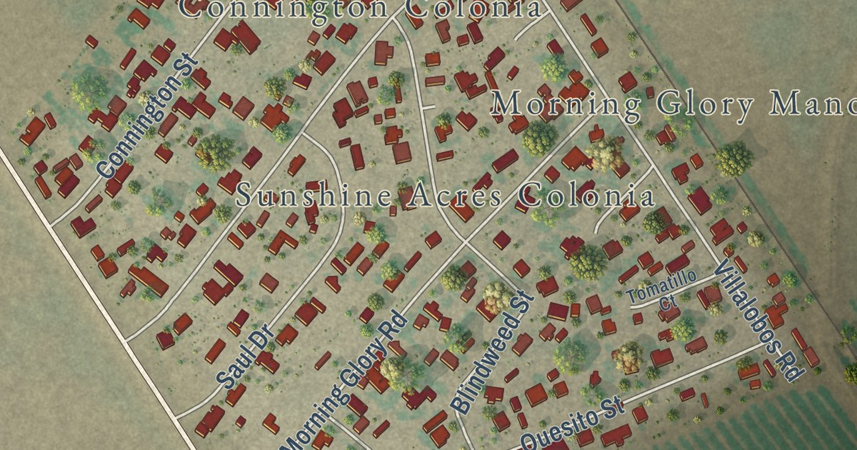
A detailed map of Morning Glory, Texas, showing every building in its true location, the roads by name, and shaded topographical relief.
Read More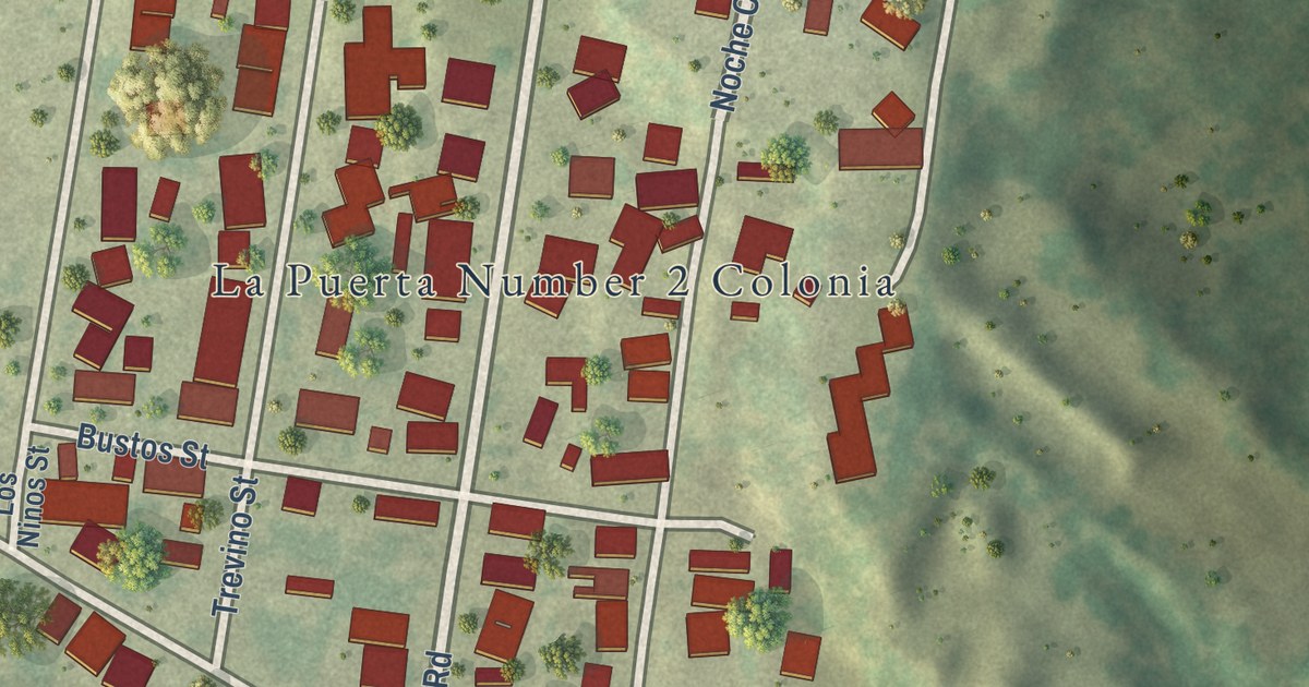
A detailed map of La Puerta, Texas, showing every building in its true location, the roads by name, and shaded topographical relief.
Read More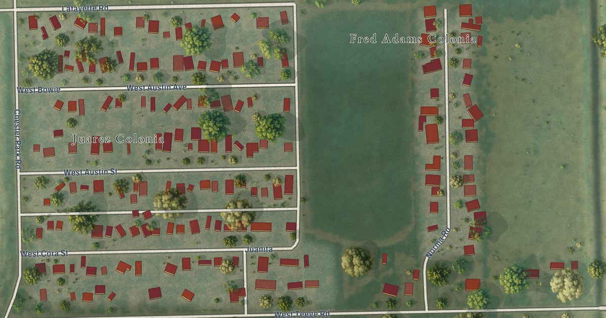
A detailed map of Juarez, Texas, showing every building in its true location, the roads by name, and shaded topographical relief.
Read More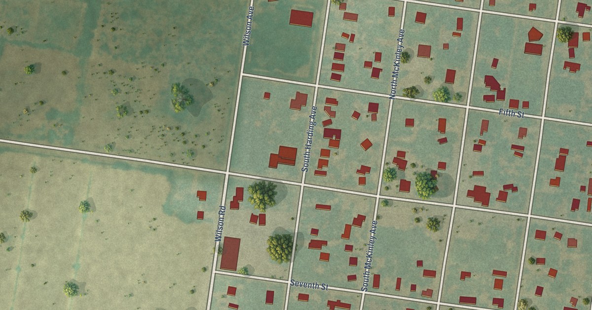
A detailed map of Hargill, Texas, showing every building in its true location, the roads by name, and shaded topographical relief.
Read More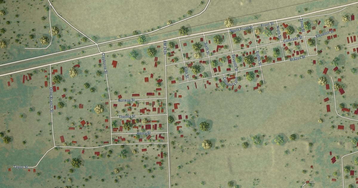
A detailed map of Glidden, Texas, showing every building in its true location, the roads by name, and shaded topographical relief.
Read More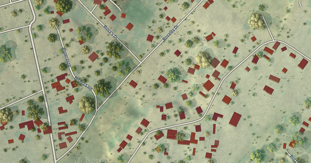
A detailed map of Garceno, Texas, showing every building in its true location, the roads by name, and shaded topographical relief.
Read More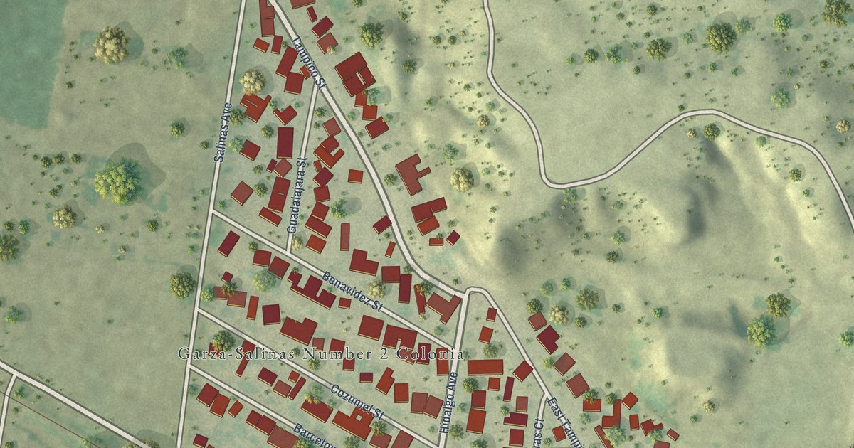
A detailed map of Garza-Salinas II, Texas, showing every building in its true location, the roads by name, and shaded topographical relief.
Read More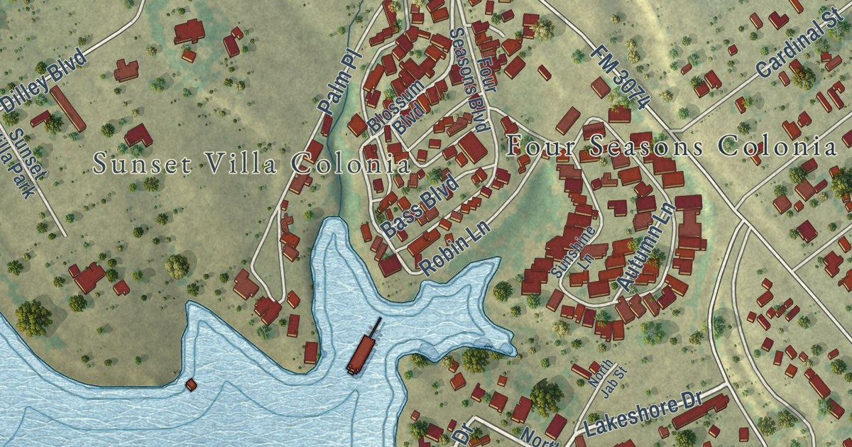
A detailed map of Falcon Mesa, Texas, showing every building in its true location, the roads by name, and shaded topographical relief.
Read More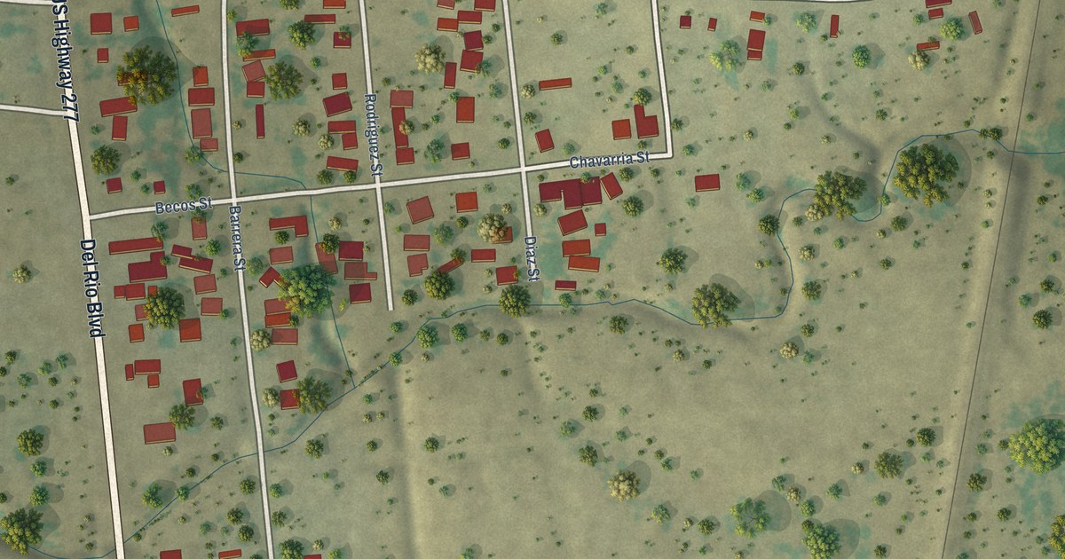
A detailed map of Fabrica, Texas, showing every building in its true location, the roads by name, and shaded topographical relief.
Read More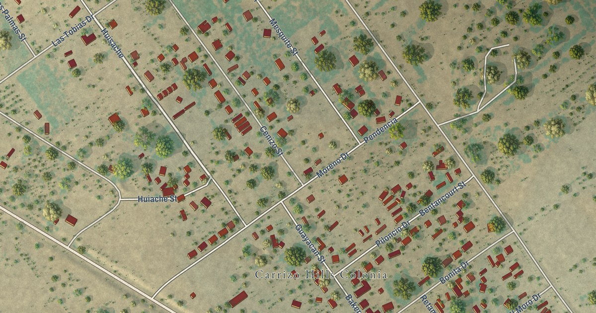
A detailed map of Carrizo Hill, Texas, showing every building in its true location, the roads by name, and shaded topographical relief.
Read More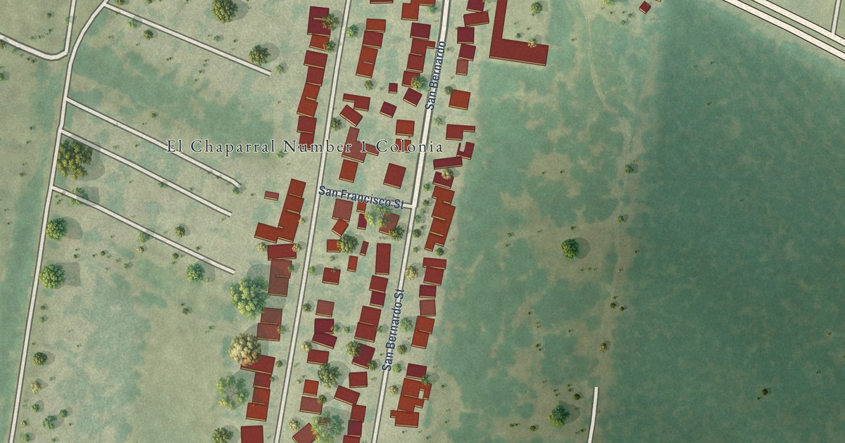
A detailed map of El Chaparral, Texas, showing every building in its true location, the roads by name, and shaded topographical relief.
Read More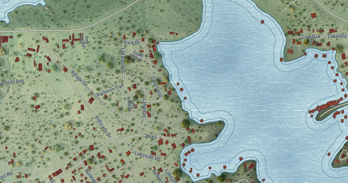
A detailed map of Buchanan Lake Village, Texas, showing every building in its true location, the roads by name, and shaded topographical relief.
Read More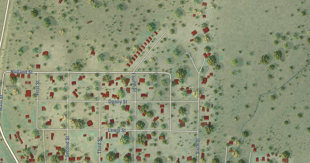
A detailed map of Christoval, Texas, showing every building in its true location, the roads by name, and shaded topographical relief.
Read More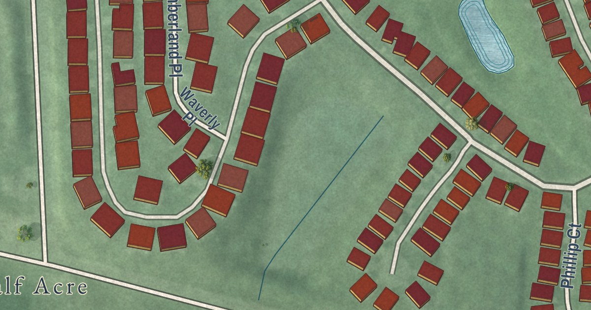
A detailed map of Whittingham, New Jersey, showing every building in its true location, the roads by name, and shaded topographical relief.
Read More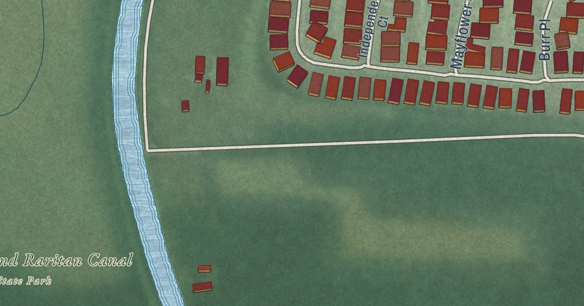
A detailed map of Weston, New Jersey, showing every building in its true location, the roads by name, and shaded topographical relief.
Read More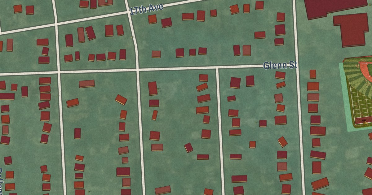
A detailed map of West Belmar, New Jersey, showing every building in its true location, the roads by name, and shaded topographical relief.
Read More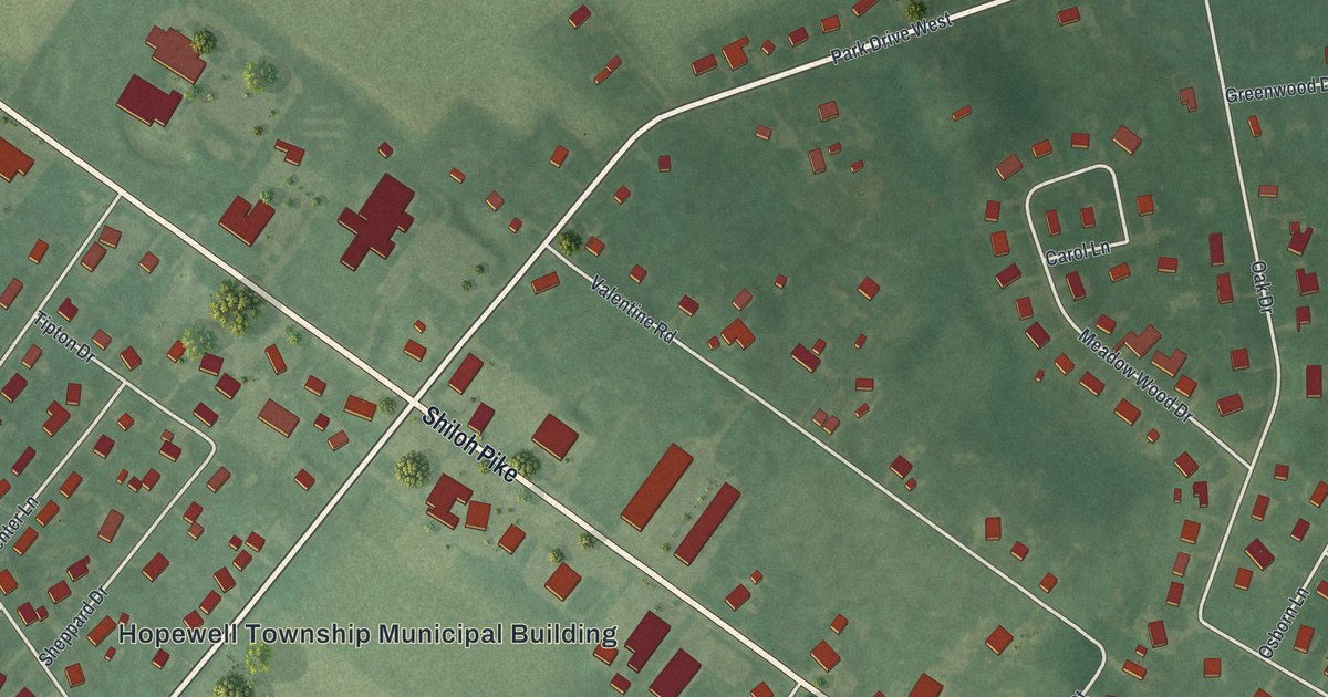
A detailed map of West Park, New Jersey, showing every building in its true location, the roads by name, and shaded topographical relief.
Read More















