Detailed Map of Upper Pohatcong, New Jersey
A detailed map of Upper Pohatcong, New Jersey, showing every building in its true location, the roads by name, and shaded topographical relief.
Read More
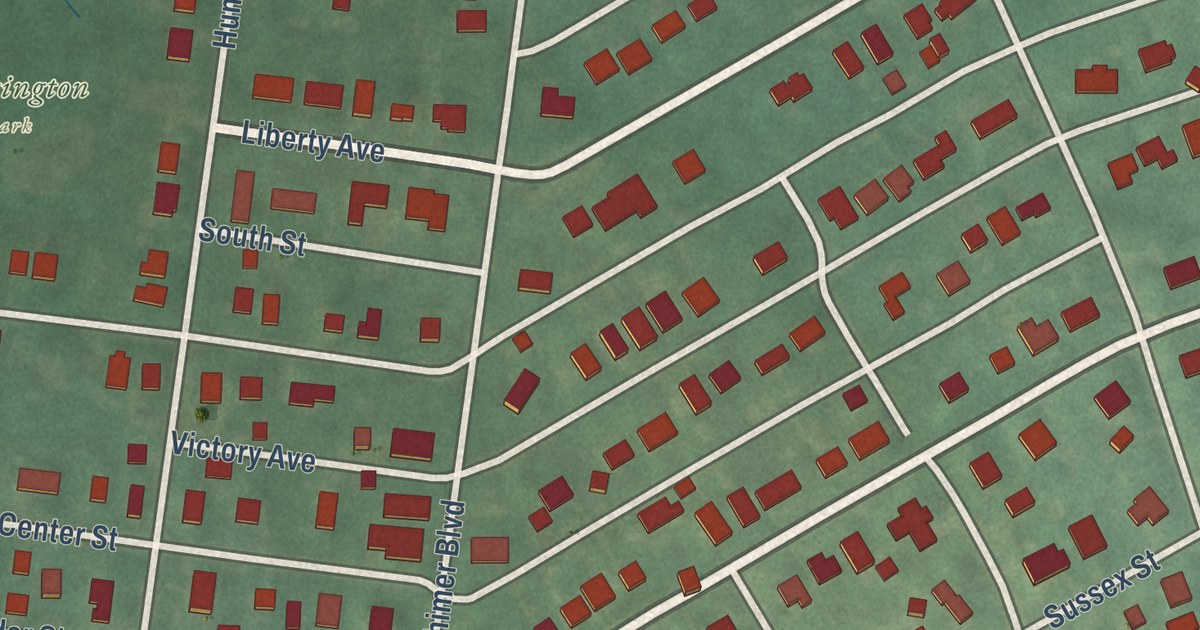
A detailed map of Upper Pohatcong, New Jersey, showing every building in its true location, the roads by name, and shaded topographical relief.
Read More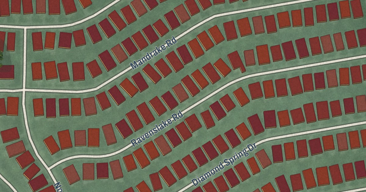
A detailed map of Stonebridge, New Jersey, showing every building in its true location, the roads by name, and shaded topographical relief.
Read More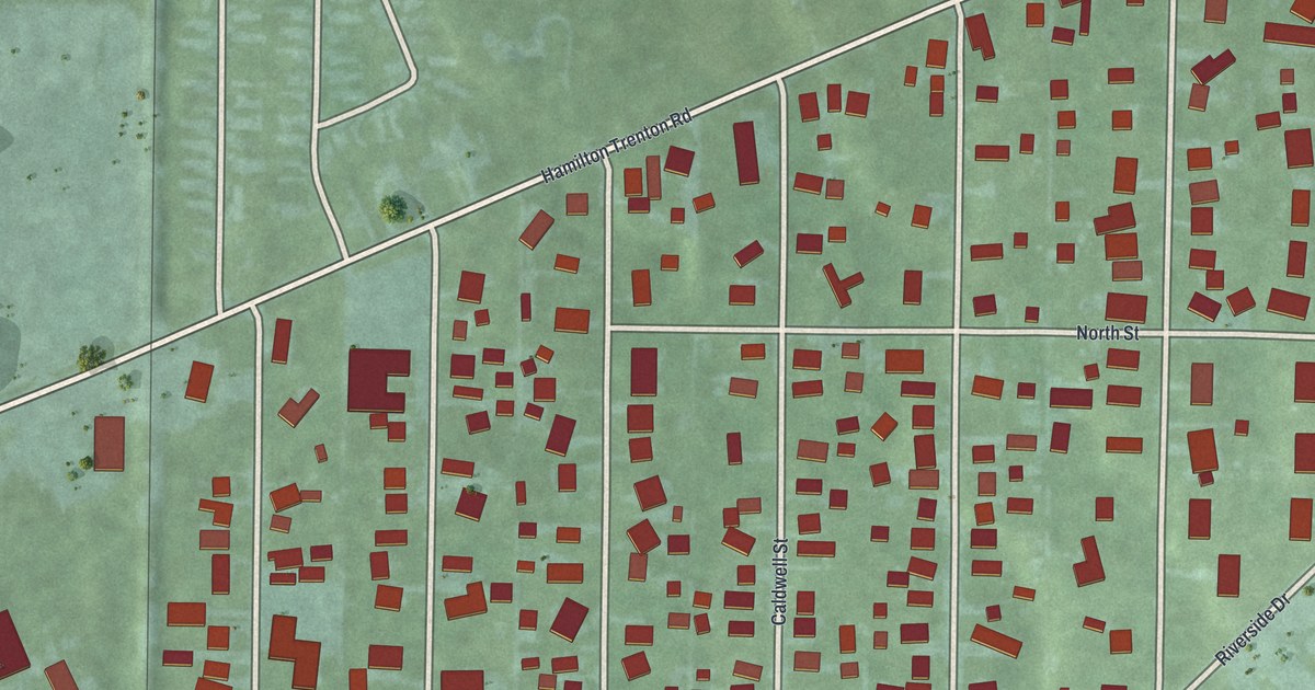
A detailed map of Williamsdale, Ohio, showing every building in its true location, the roads by name, and shaded topographical relief.
Read More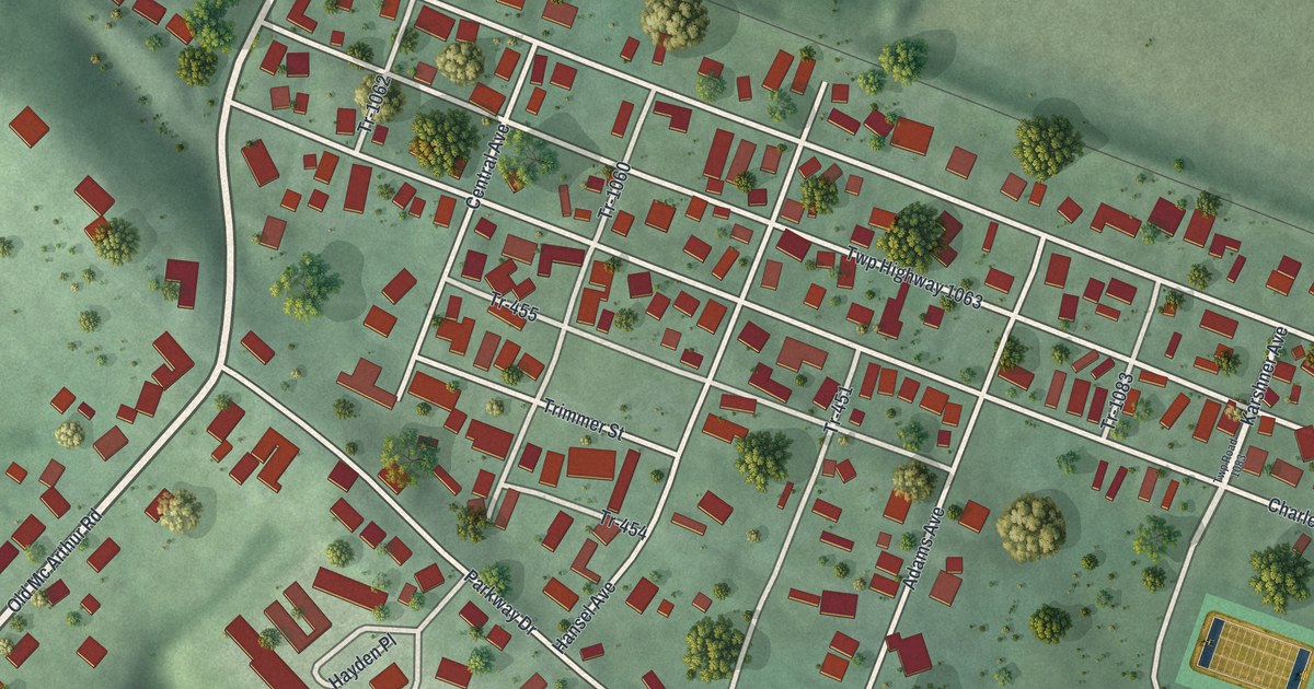
A detailed map of West Logan, Ohio, showing every building in its true location, the roads by name, and shaded topographical relief.
Read More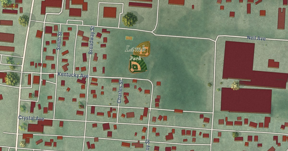
A detailed map of South Mount Vernon, Ohio, showing every building in its true location, the roads by name, and shaded topographical relief.
Read More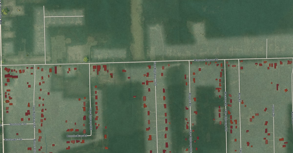
A detailed map of Vienna Center, Ohio, showing every building in its true location, the roads by name, and shaded topographical relief.
Read More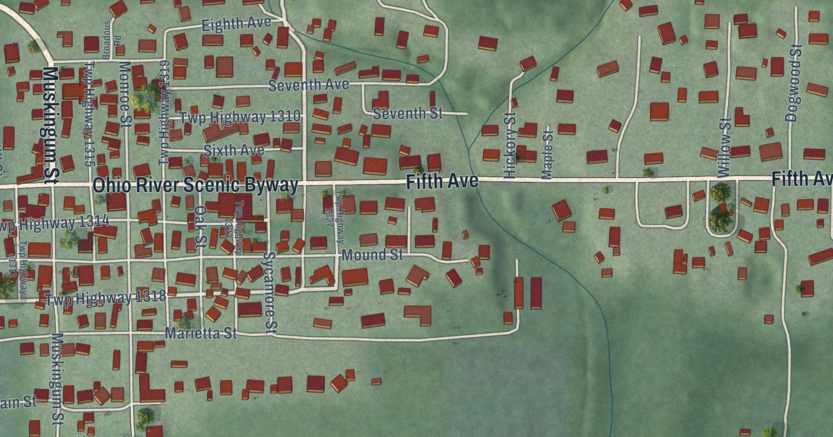
A detailed map of Sardis, Ohio, showing every building in its true location, the roads by name, and shaded topographical relief.
Read More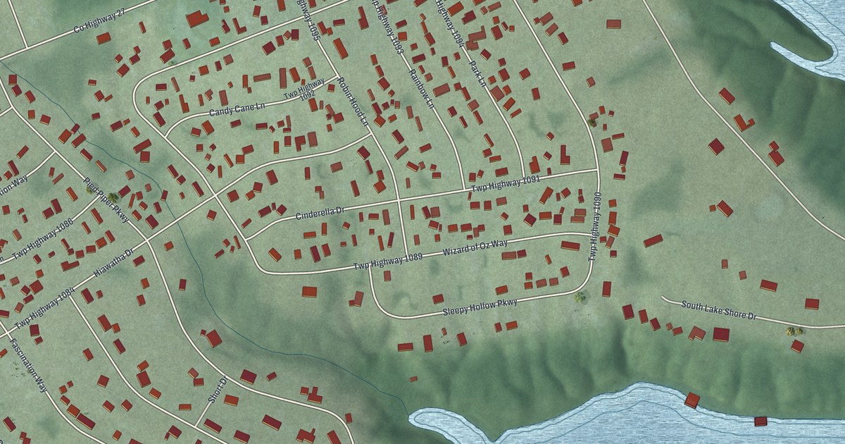
A detailed map of Rocky Fork Point, Ohio, showing every building in its true location, the roads by name, and shaded topographical relief.
Read More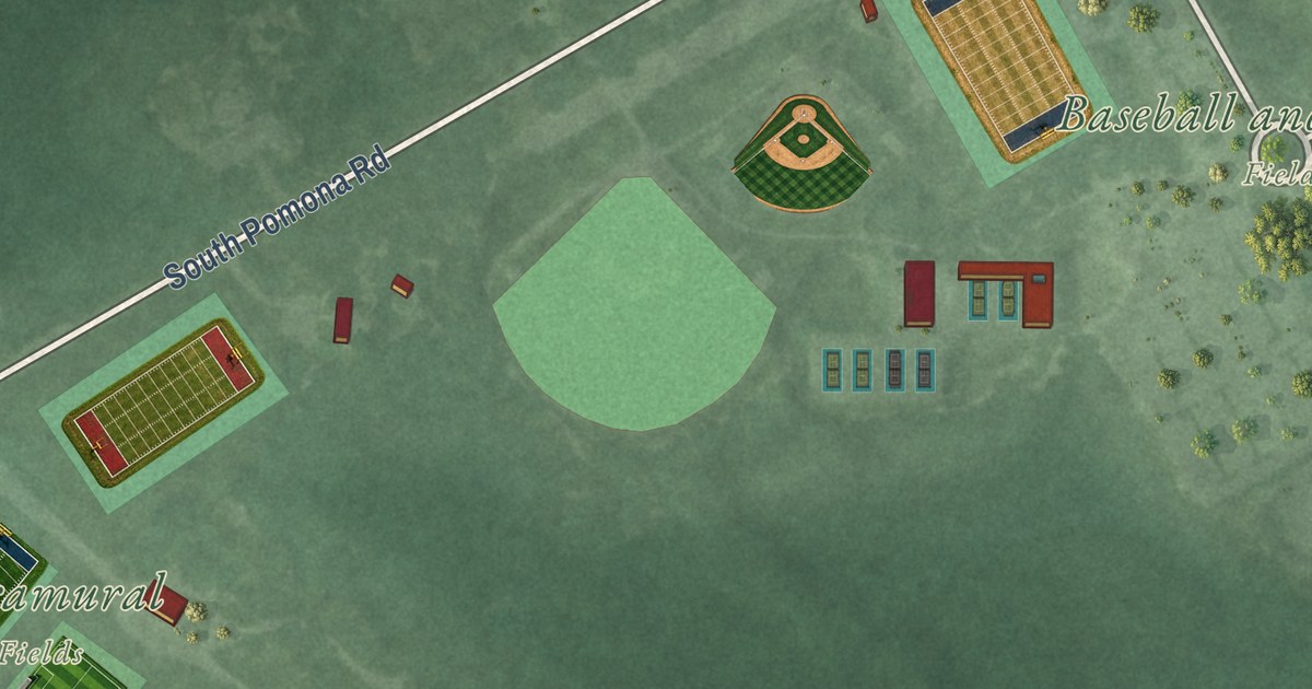
A detailed map of Stockton University, New Jersey, showing every building in its true location, the roads by name, and shaded topographical relief.
Read More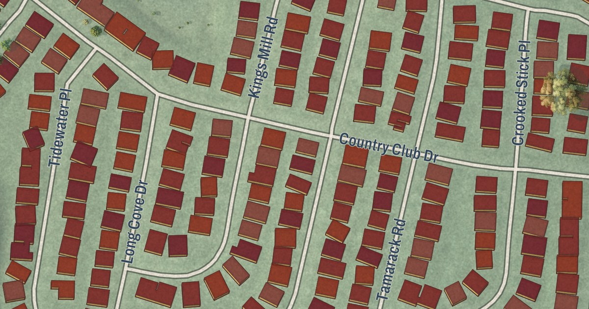
A detailed map of Regency at Monroe, New Jersey, showing every building in its true location, the roads by name, and shaded topographical relief.
Read More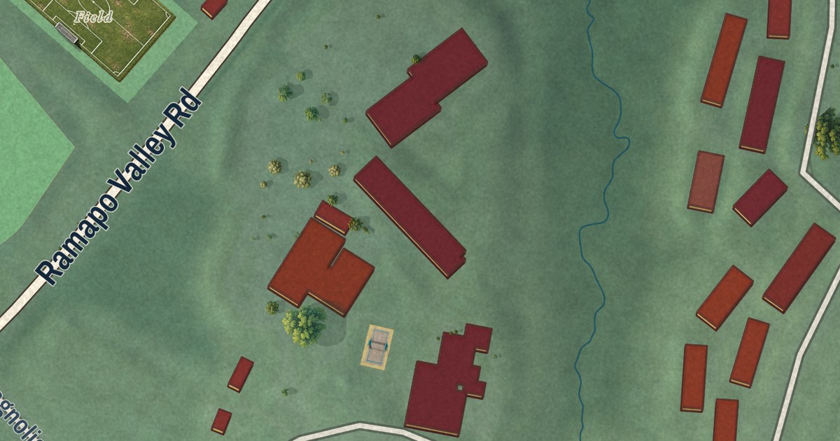
A detailed map of Ramapo College of New Jersey, New Jersey, showing every building in its true location, the roads by name, and shaded topographical relief.
Read More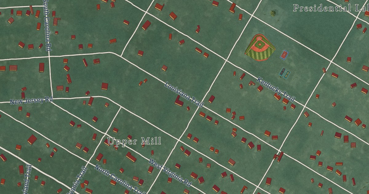
A detailed map of Presidential Lakes Estates, New Jersey, showing every building in its true location, the roads by name, and shaded topographical relief.
Read More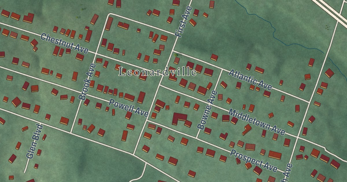
A detailed map of Navesink, New Jersey, showing every building in its true location, the roads by name, and shaded topographical relief.
Read More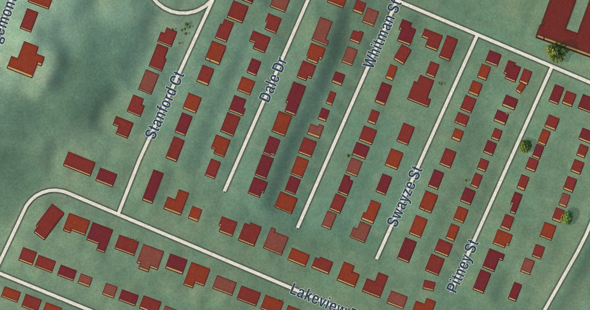
A detailed map of Pleasantdale, New Jersey, showing every building in its true location, the roads by name, and shaded topographical relief.
Read More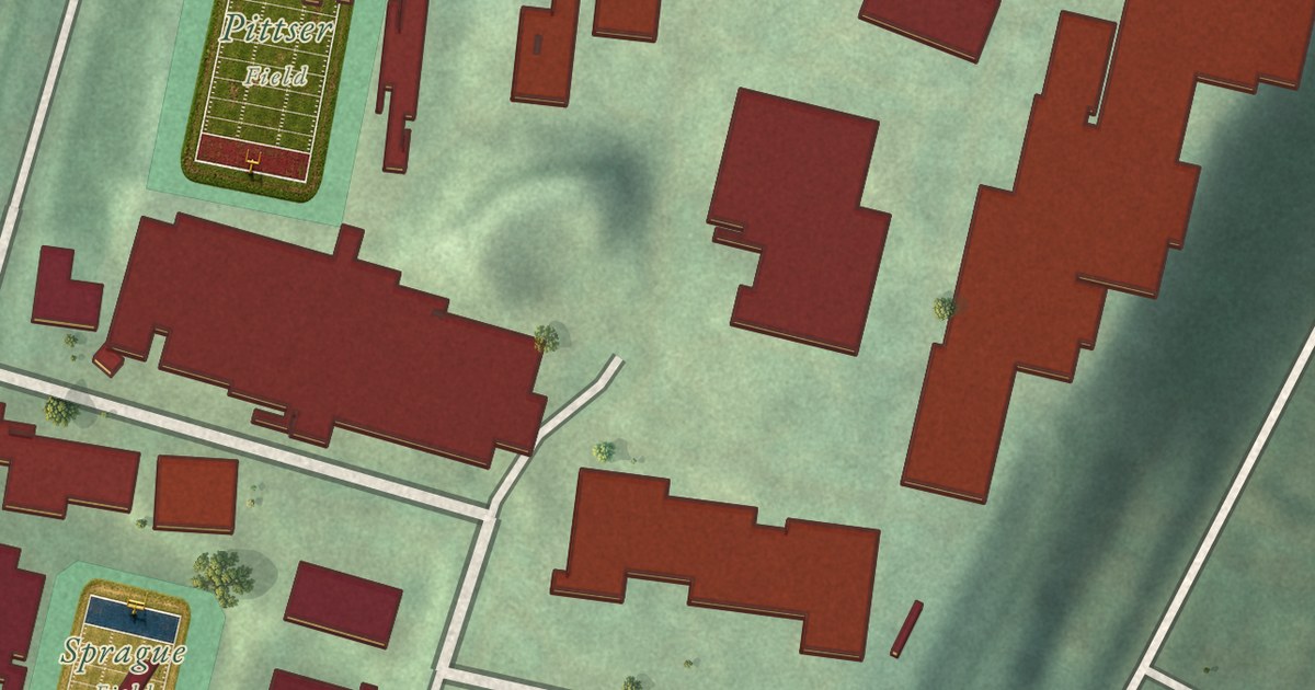
A detailed map of Montclair State University, New Jersey, showing every building in its true location, the roads by name, and shaded topographical relief.
Read More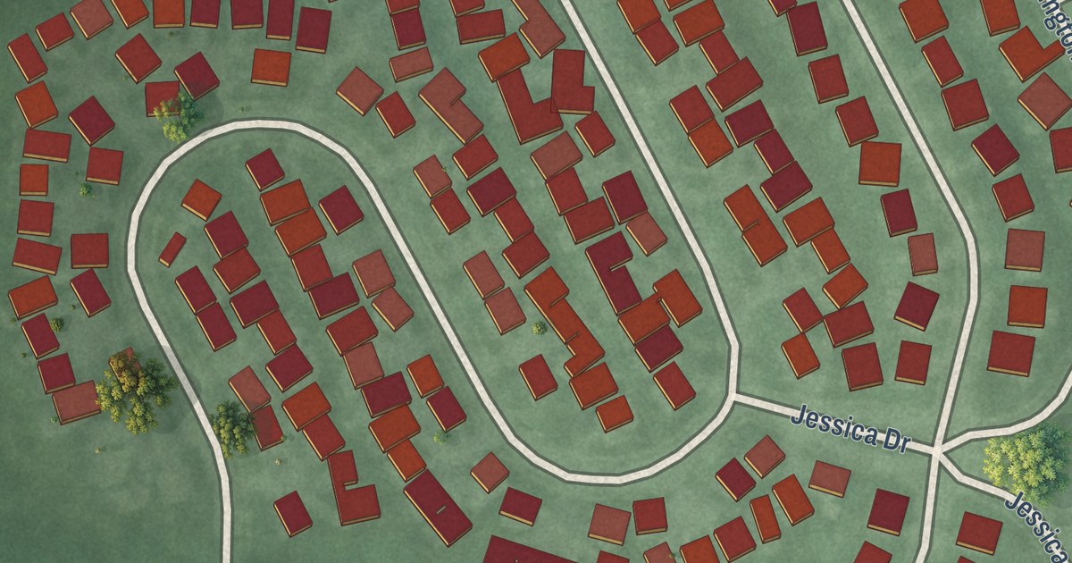
A detailed map of Monroe Manor, New Jersey, showing every building in its true location, the roads by name, and shaded topographical relief.
Read More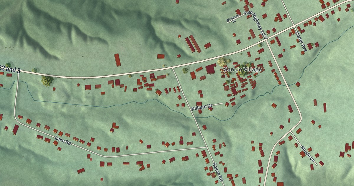
A detailed map of Roachester, Ohio, showing every building in its true location, the roads by name, and shaded topographical relief.
Read More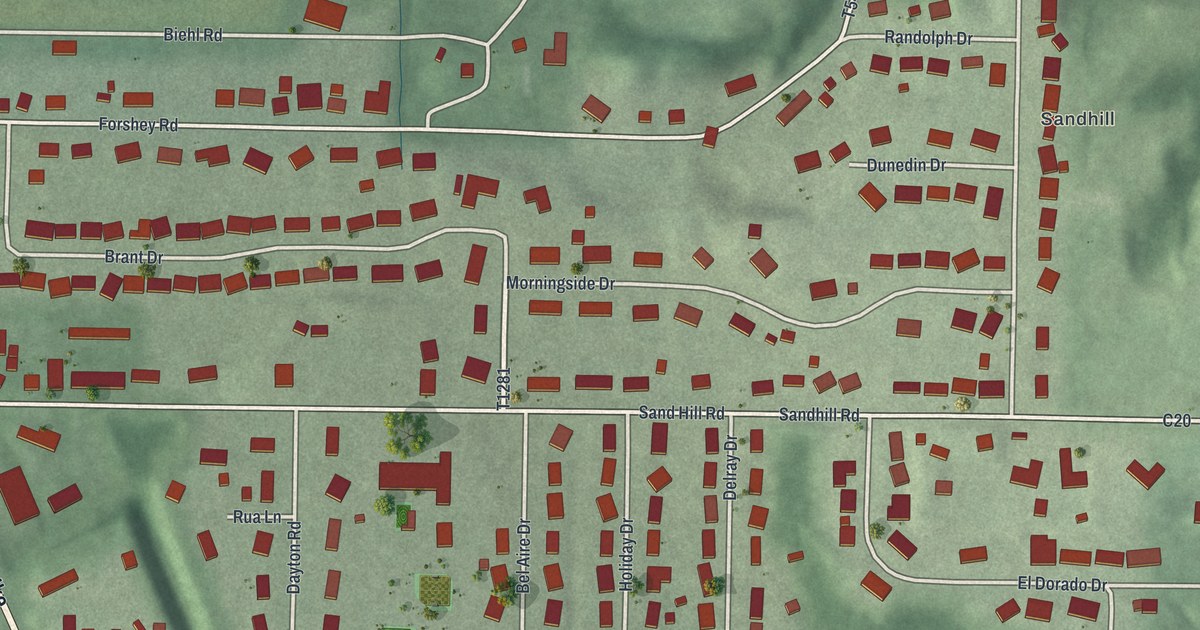
A detailed map of Reno, Ohio, showing every building in its true location, the roads by name, and shaded topographical relief.
Read More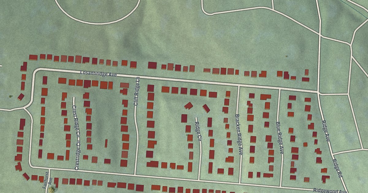
A detailed map of Ridgewood, Ohio, showing every building in its true location, the roads by name, and shaded topographical relief.
Read More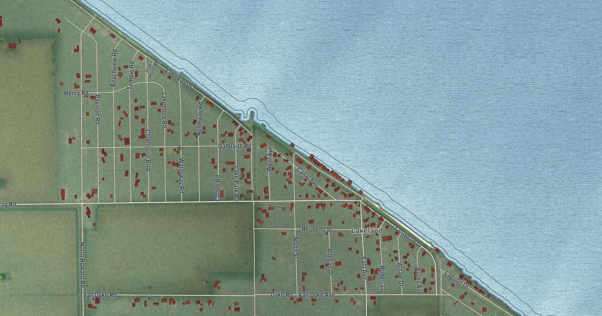
A detailed map of Reno Beach, Ohio, showing every building in its true location, the roads by name, and shaded topographical relief.
Read More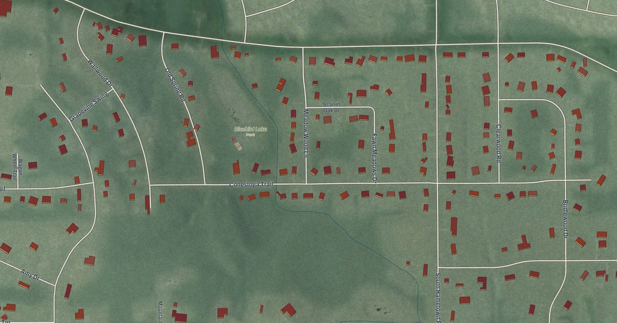
A detailed map of Pigeon Creek, Ohio, showing every building in its true location, the roads by name, and shaded topographical relief.
Read More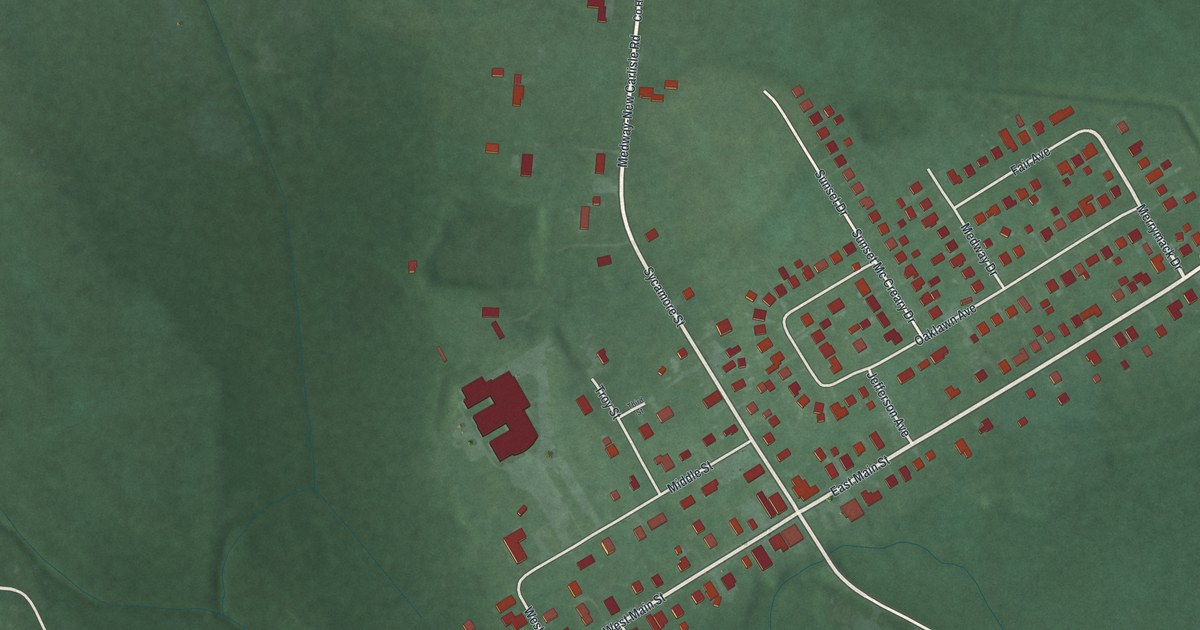
A detailed map of Medway, Ohio, showing every building in its true location, the roads by name, and shaded topographical relief.
Read More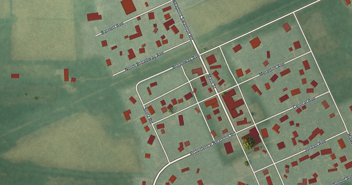
A detailed map of Neapolis, Ohio, showing every building in its true location, the roads by name, and shaded topographical relief.
Read More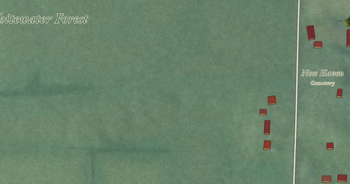
A detailed map of New Haven, Ohio, showing every building in its true location, the roads by name, and shaded topographical relief.
Read More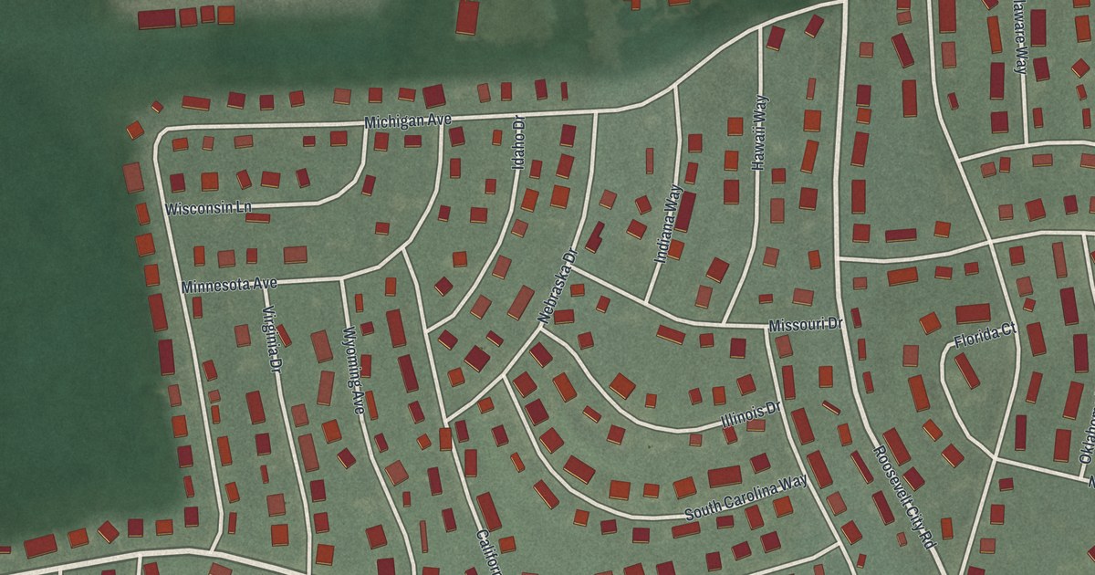
A detailed map of Cedar Glen Lakes, New Jersey, showing every building in its true location, the roads by name, and shaded topographical relief.
Read More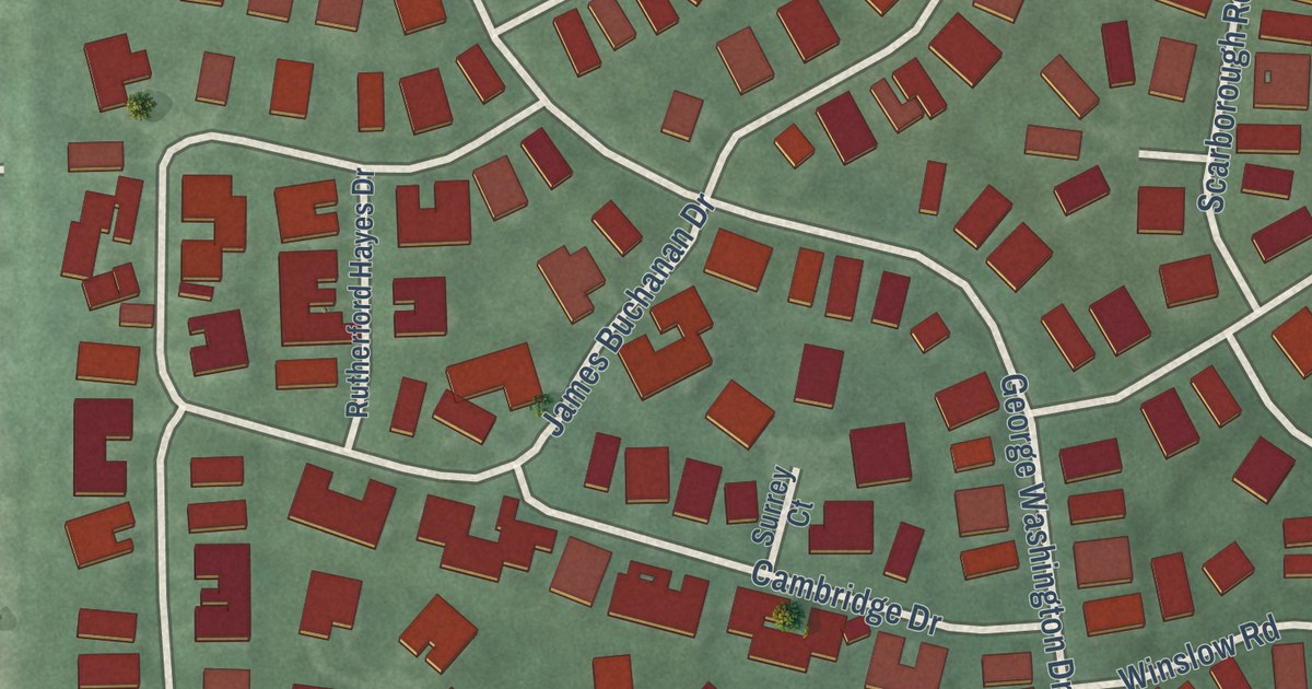
A detailed map of Concordia, New Jersey, showing every building in its true location, the roads by name, and shaded topographical relief.
Read More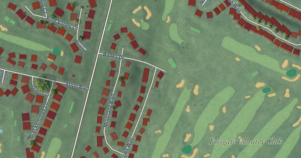
A detailed map of Forsgate, New Jersey, showing every building in its true location, the roads by name, and shaded topographical relief.
Read More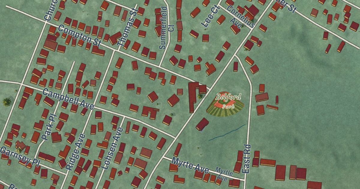
A detailed map of Belford, New Jersey, showing every building in its true location, the roads by name, and shaded topographical relief.
Read More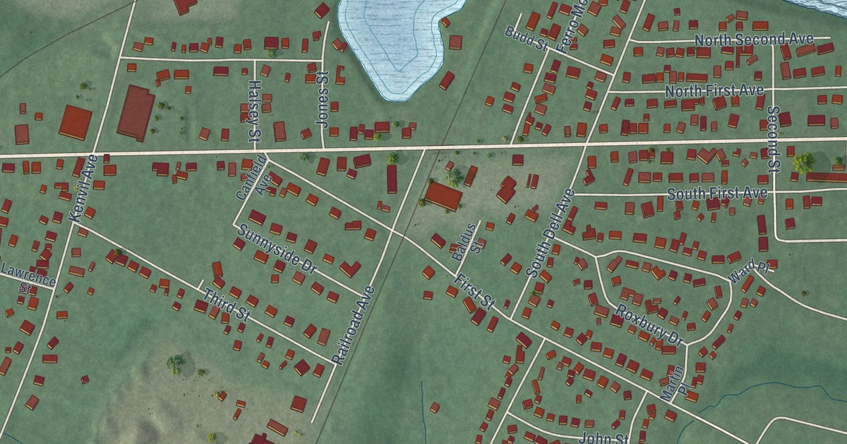
A detailed map of Kenvil, New Jersey, showing every building in its true location, the roads by name, and shaded topographical relief.
Read More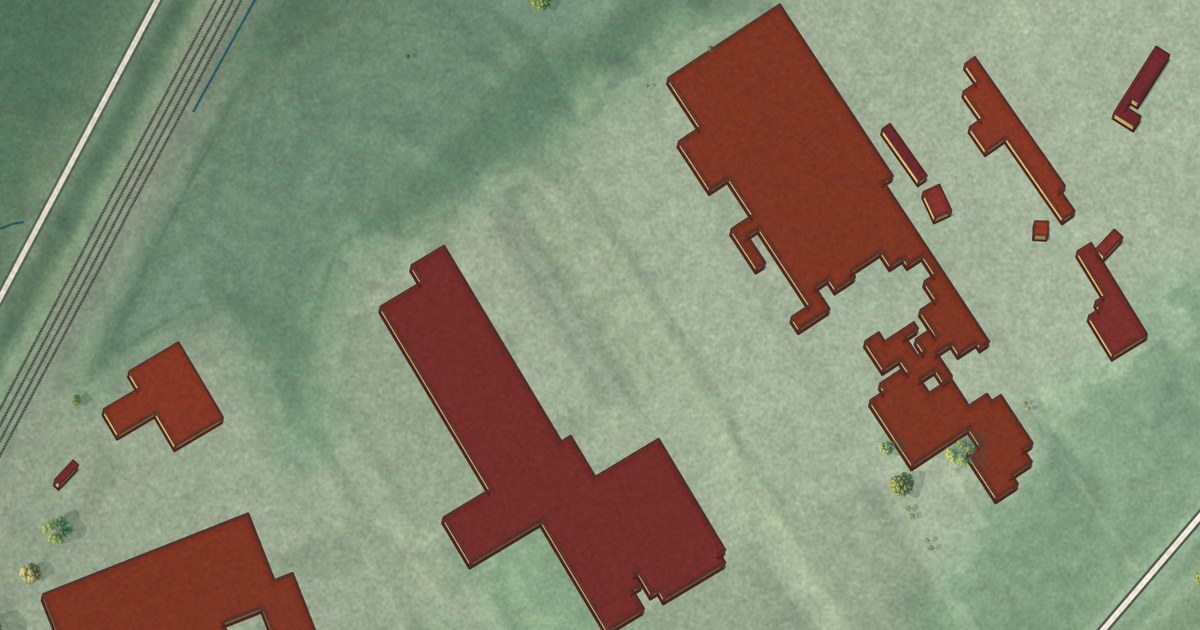
A detailed map of Deans, New Jersey, showing every building in its true location, the roads by name, and shaded topographical relief.
Read More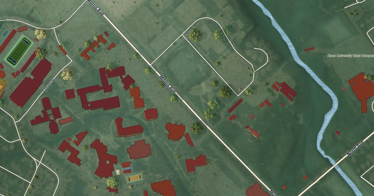
A detailed map of Kean University, New Jersey, showing every building in its true location, the roads by name, and shaded topographical relief.
Read More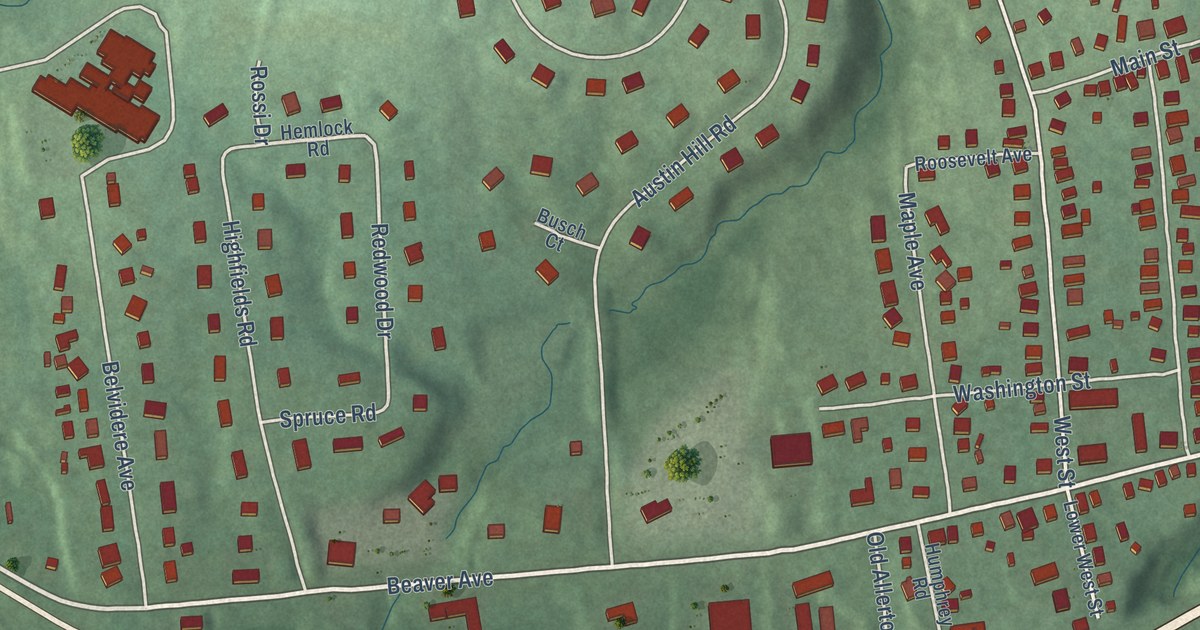
A detailed map of Annandale, New Jersey, showing every building in its true location, the roads by name, and shaded topographical relief.
Read More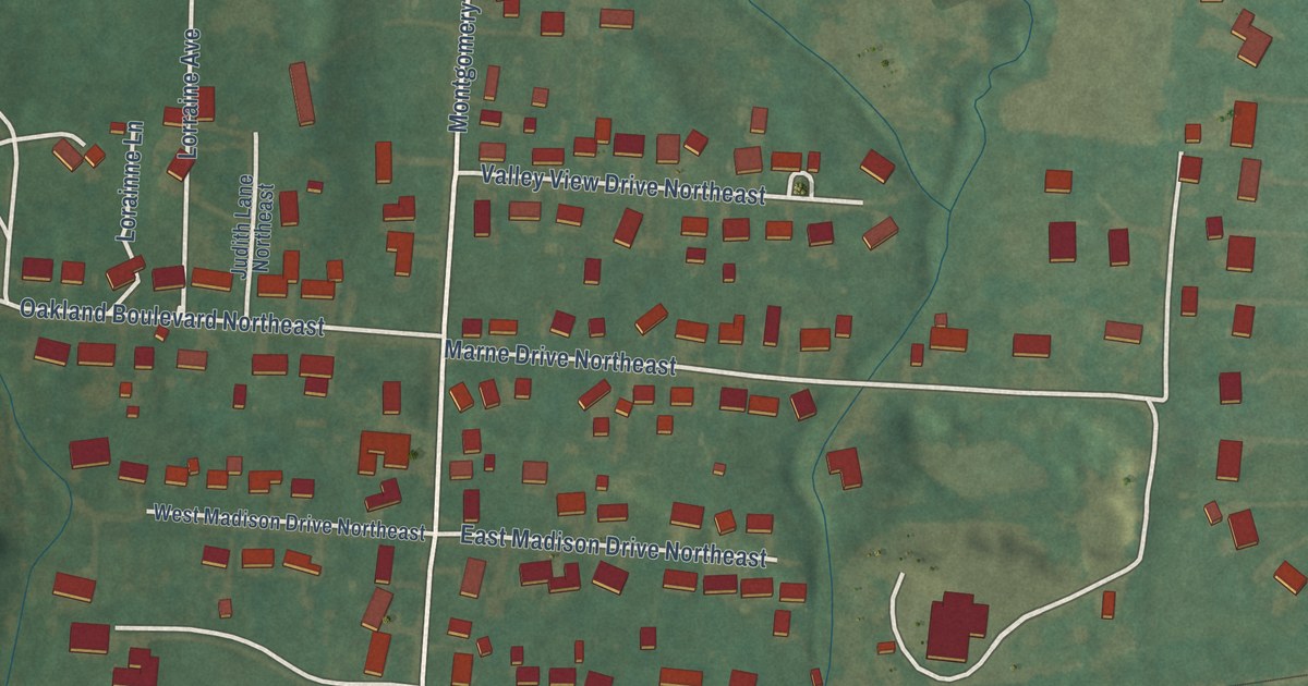
A detailed map of Marne, Ohio, showing every building in its true location, the roads by name, and shaded topographical relief.
Read More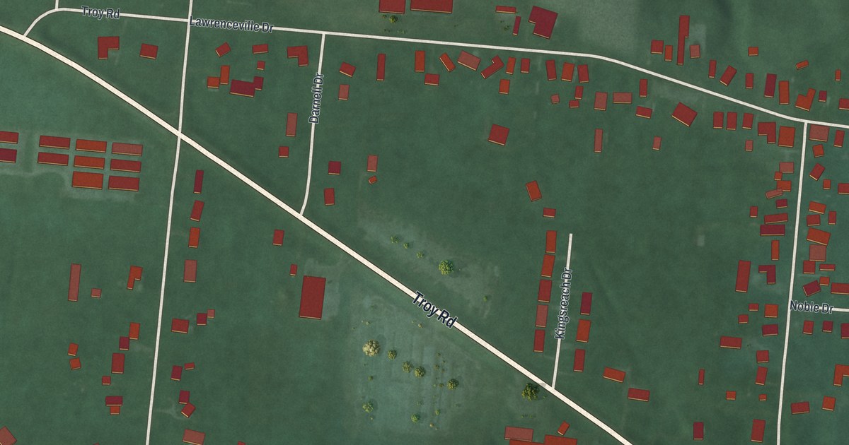
A detailed map of Lawrenceville, Ohio, showing every building in its true location, the roads by name, and shaded topographical relief.
Read More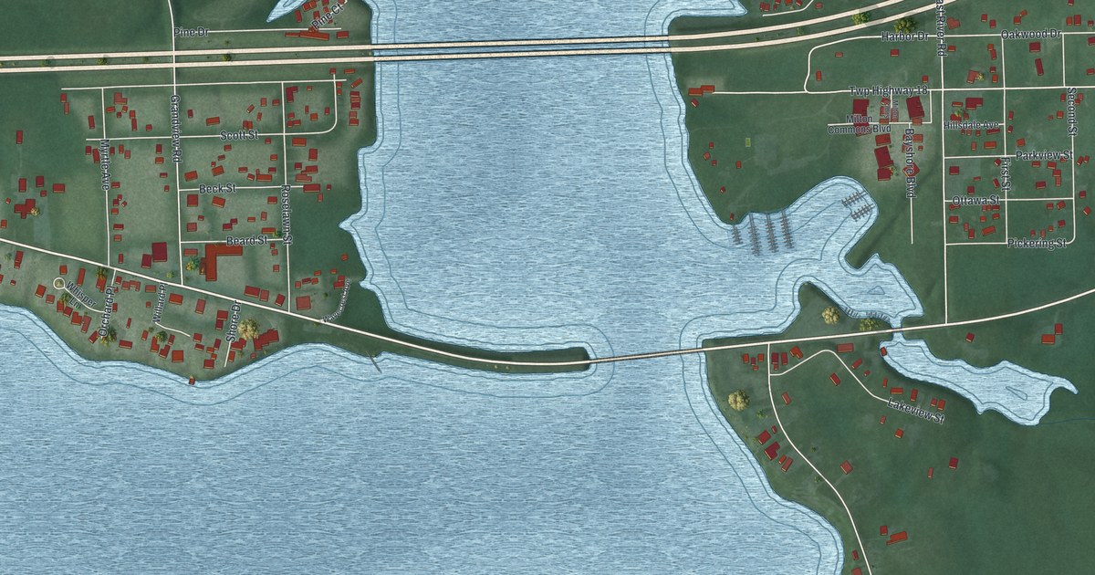
A detailed map of Lake Milton, Ohio, showing every building in its true location, the roads by name, and shaded topographical relief.
Read More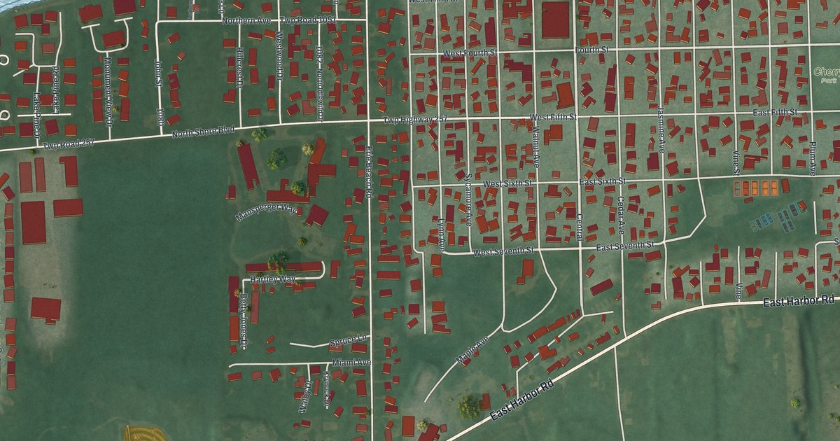
A detailed map of Lakeside, Ohio, showing every building in its true location, the roads by name, and shaded topographical relief.
Read More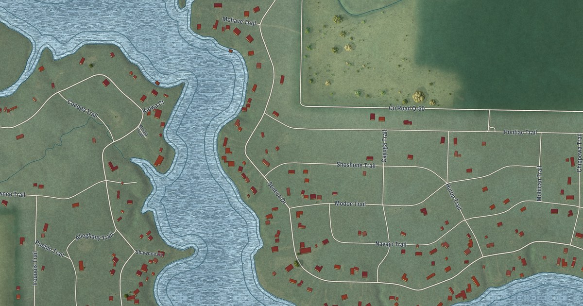
A detailed map of Lake Seneca, Ohio, showing every building in its true location, the roads by name, and shaded topographical relief.
Read More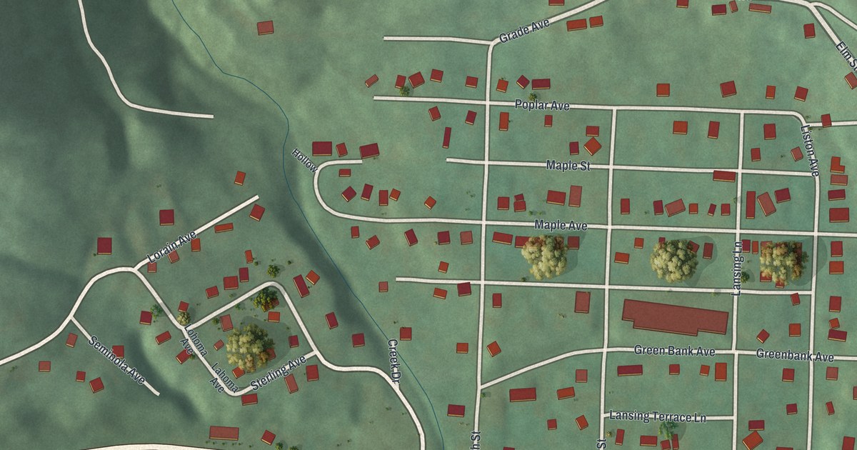
A detailed map of Lansing, Ohio, showing every building in its true location, the roads by name, and shaded topographical relief.
Read More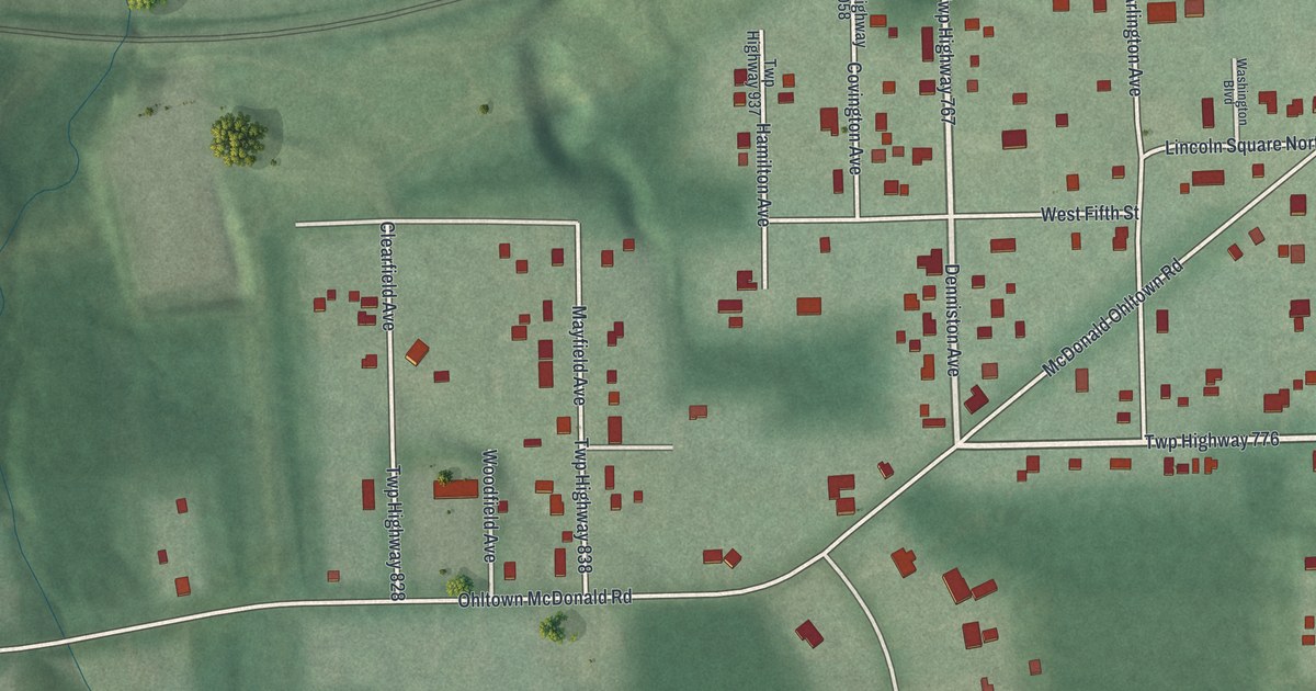
A detailed map of Hilltop, Ohio, showing every building in its true location, the roads by name, and shaded topographical relief.
Read More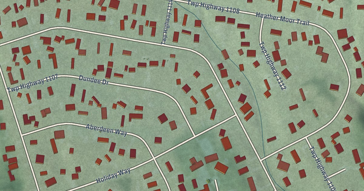
A detailed map of Highland Holiday, Ohio, showing every building in its true location, the roads by name, and shaded topographical relief.
Read More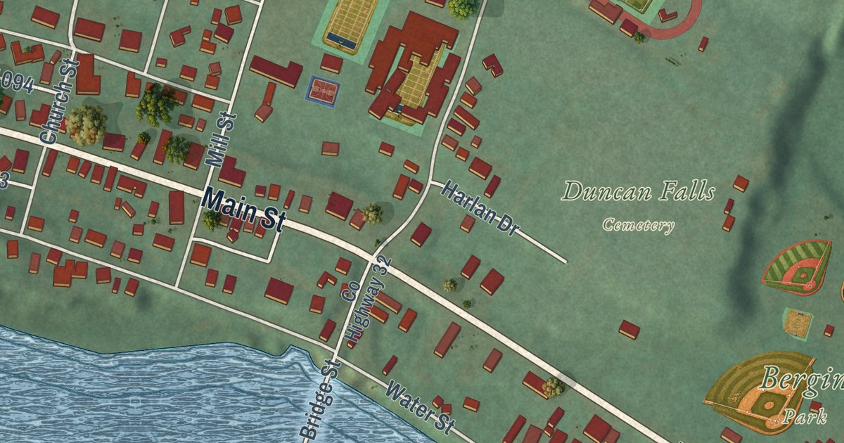
A detailed map of Duncan Falls, Ohio, showing every building in its true location, the roads by name, and shaded topographical relief.
Read More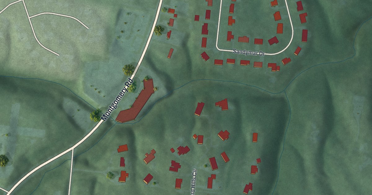
A detailed map of Concorde Hills, Ohio, showing every building in its true location, the roads by name, and shaded topographical relief.
Read More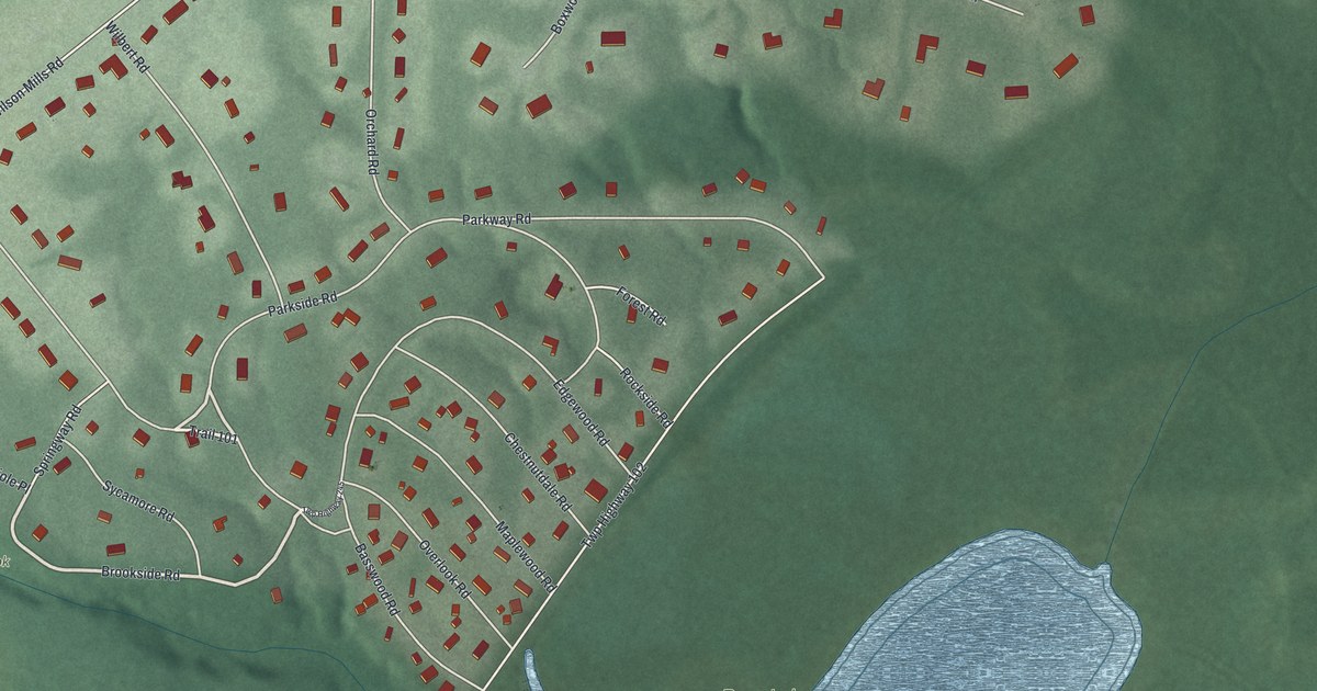
A detailed map of Bass Lake, Ohio, showing every building in its true location, the roads by name, and shaded topographical relief.
Read More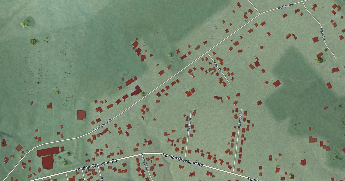
A detailed map of Darbydale, Ohio, showing every building in its true location, the roads by name, and shaded topographical relief.
Read More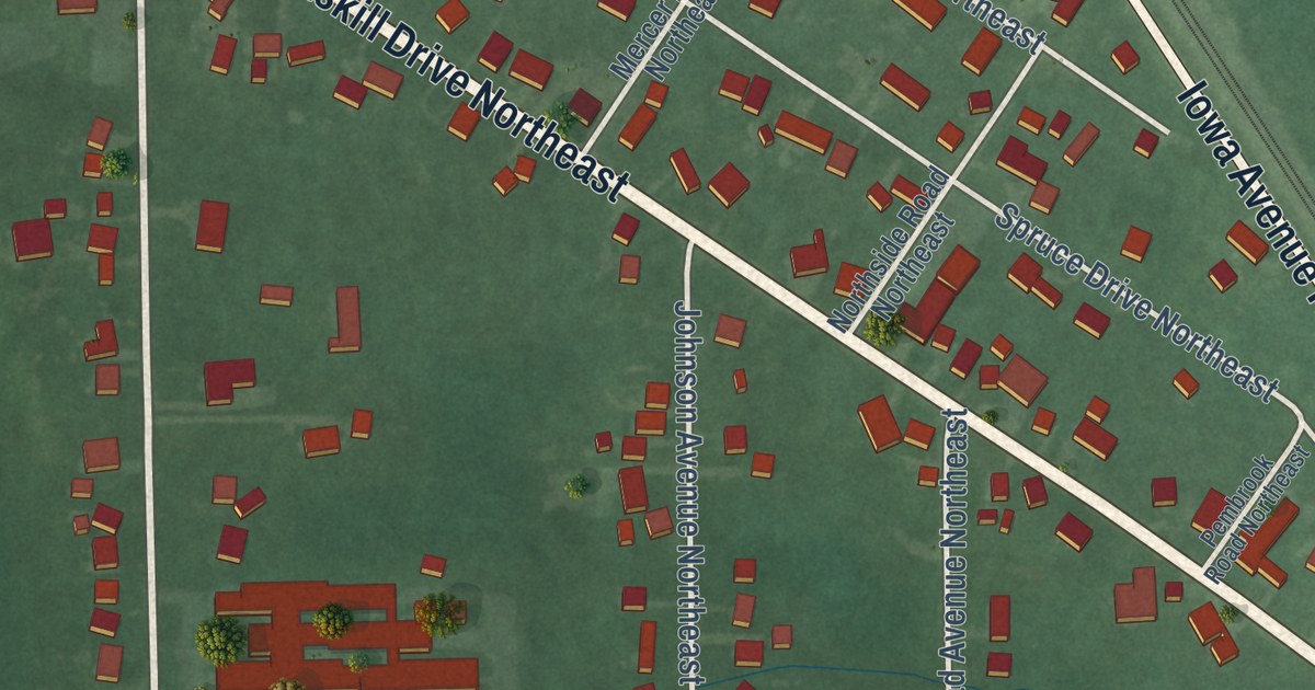
A detailed map of Bolton, Ohio, showing every building in its true location, the roads by name, and shaded topographical relief.
Read More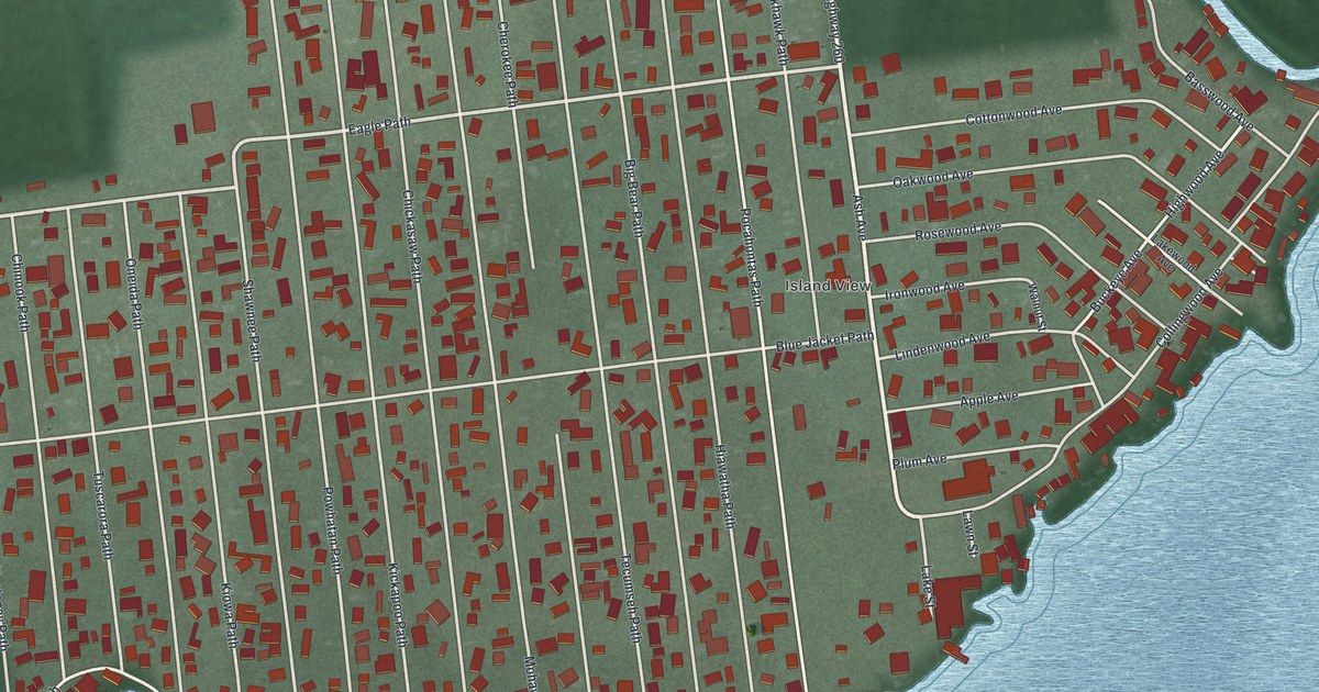
A detailed map of Chippewa Park, Ohio, showing every building in its true location, the roads by name, and shaded topographical relief.
Read More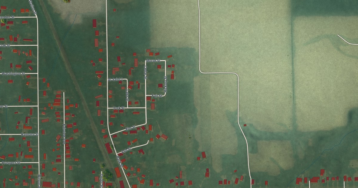
A detailed map of Atwater, Ohio, showing every building in its true location, the roads by name, and shaded topographical relief.
Read More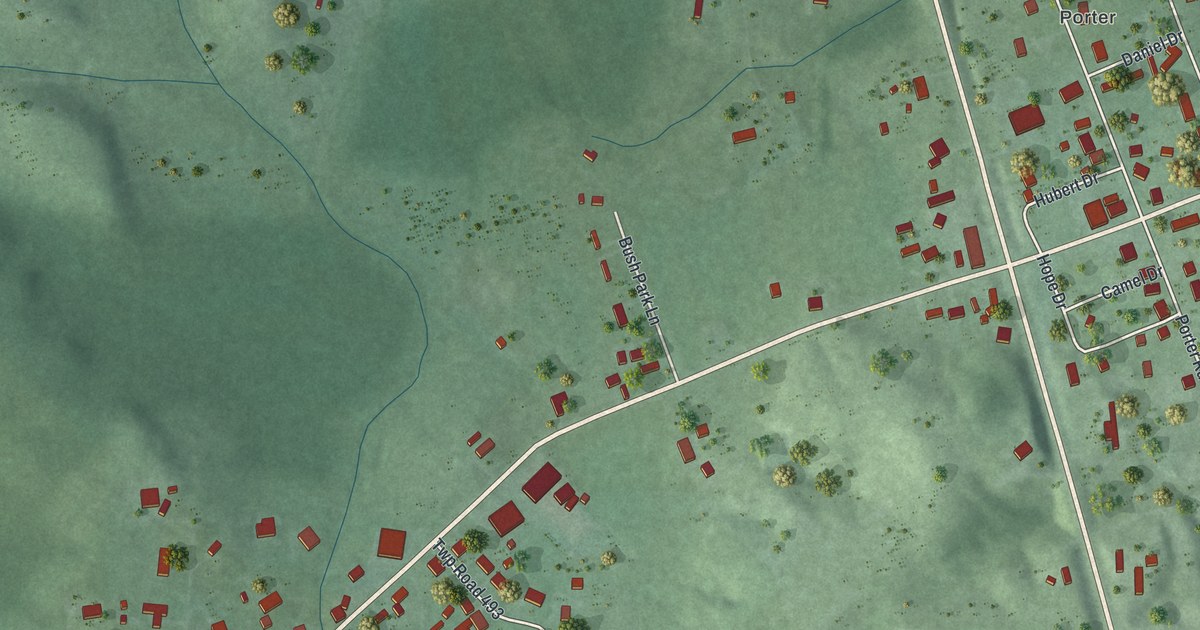
A detailed map of Bidwell, Ohio, showing every building in its true location, the roads by name, and shaded topographical relief.
Read More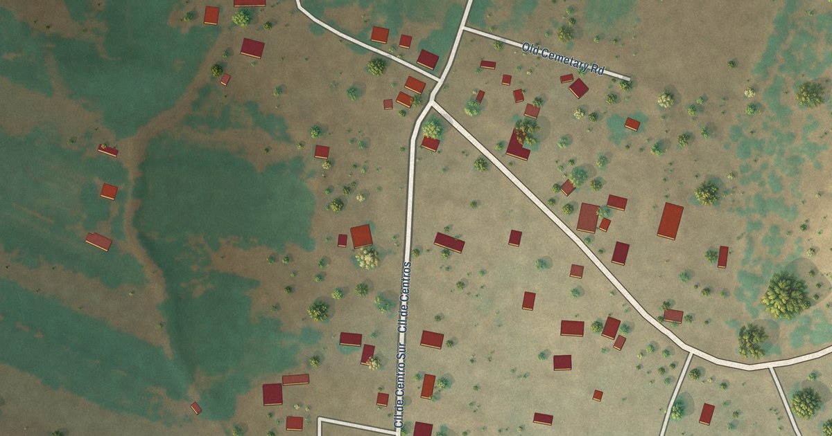
A detailed map of La Joya, New Mexico, showing every building in its true location, the roads by name, and shaded topographical relief.
Read More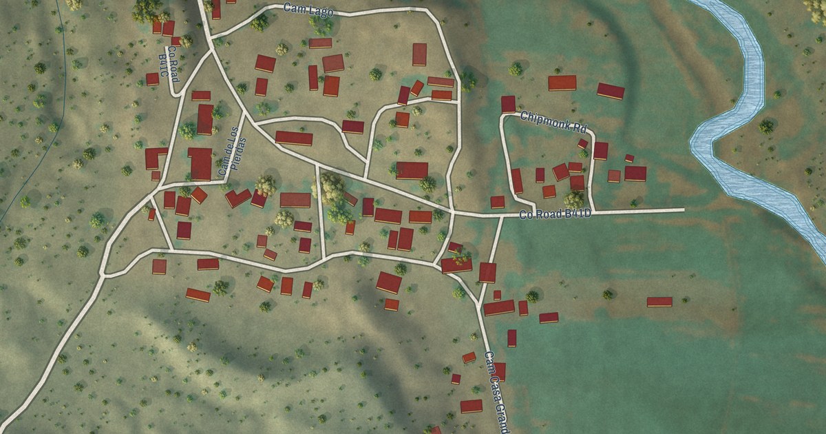
A detailed map of San Jose, New Mexico, showing every building in its true location, the roads by name, and shaded topographical relief.
Read More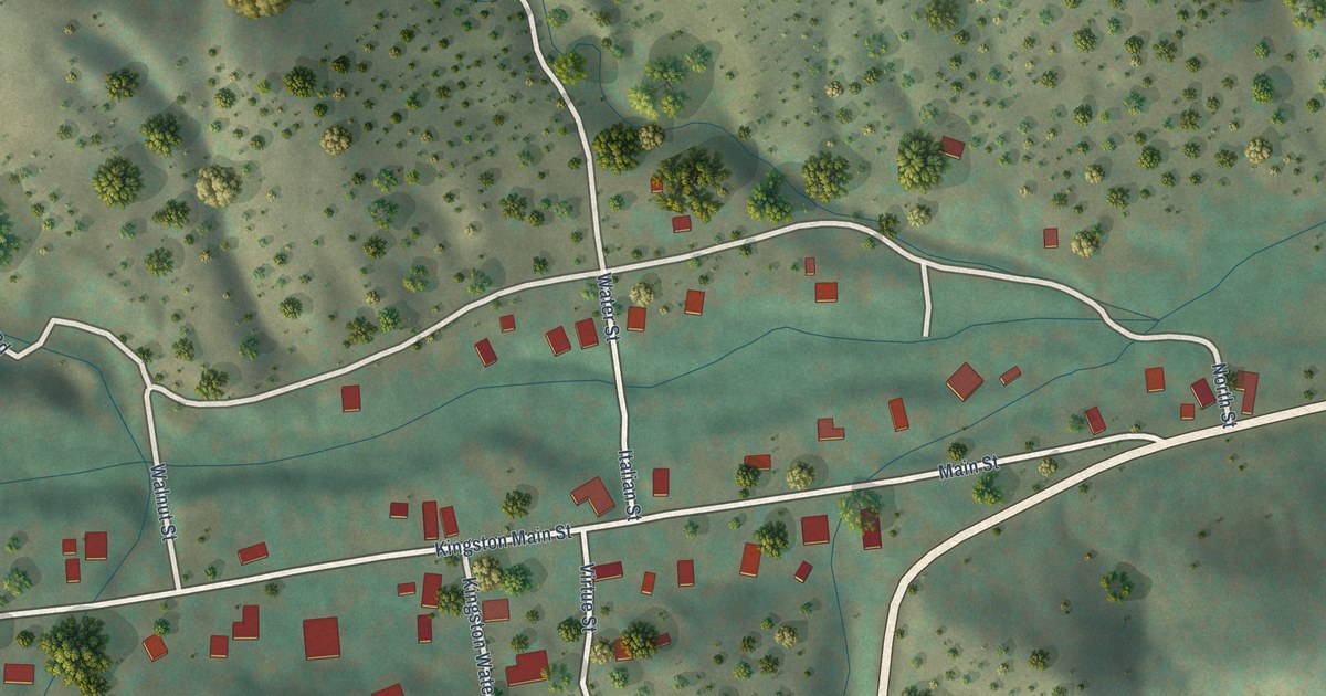
A detailed map of Kingston, New Mexico, showing every building in its true location, the roads by name, and shaded topographical relief.
Read More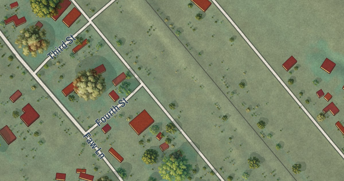
A detailed map of Greycliff, Montana, showing every building in its true location, the roads by name, and shaded topographical relief.
Read More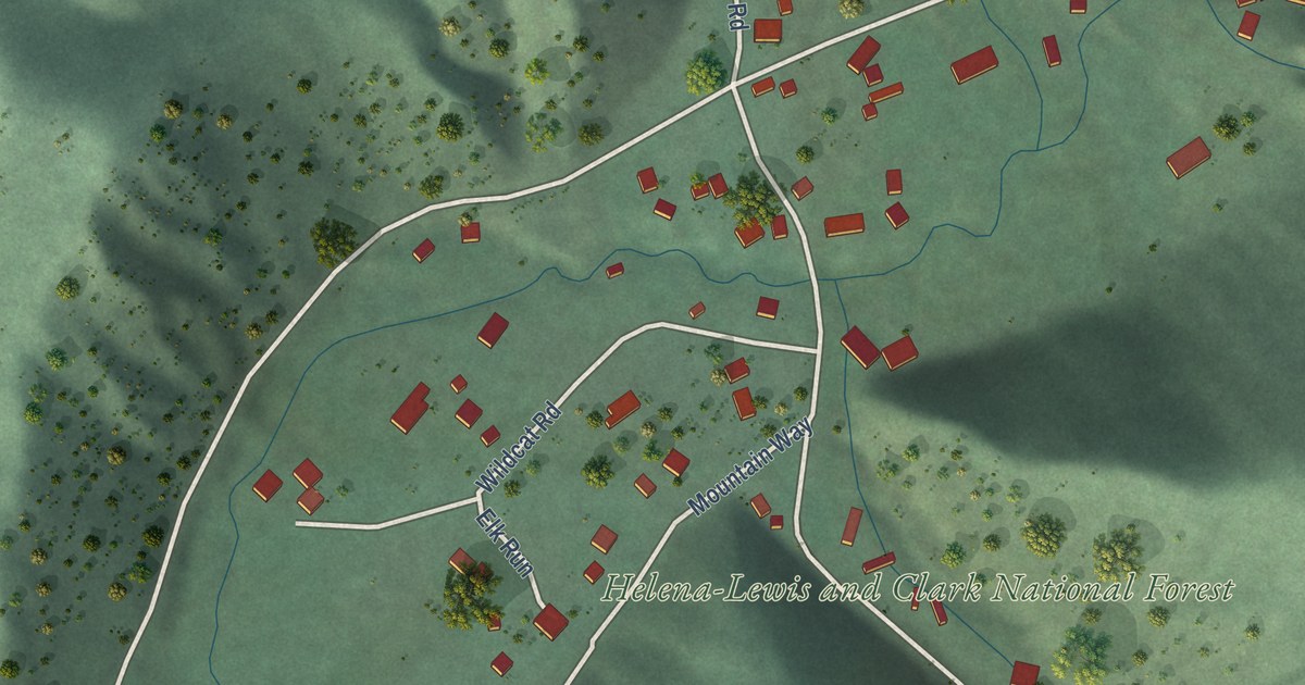
A detailed map of York, Montana, showing every building in its true location, the roads by name, and shaded topographical relief.
Read More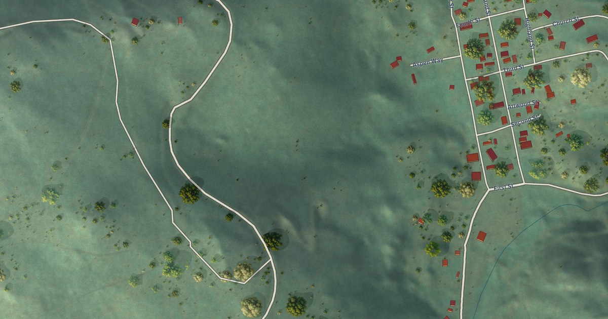
A detailed map of Marysville, Montana, showing every building in its true location, the roads by name, and shaded topographical relief.
Read More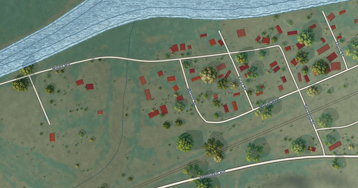
A detailed map of Rosebud, Montana, showing every building in its true location, the roads by name, and shaded topographical relief.
Read More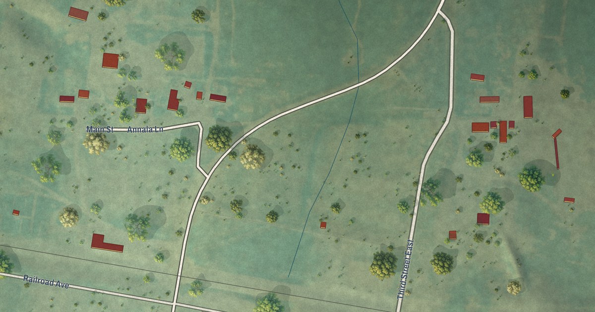
A detailed map of Geyser, Montana, showing every building in its true location, the roads by name, and shaded topographical relief.
Read More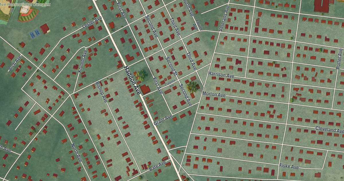
A detailed map of West Berlin, New Jersey, showing every building in its true location, the roads by name, and shaded topographical relief.
Read More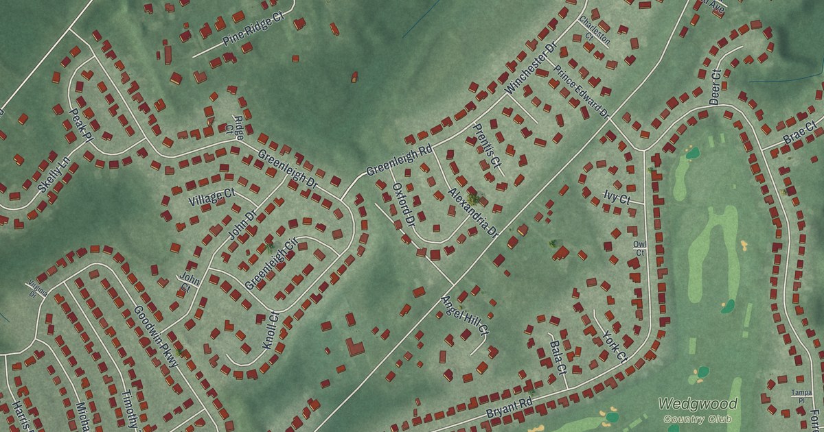
A detailed map of Turnersville, New Jersey, showing every building in its true location, the roads by name, and shaded topographical relief.
Read More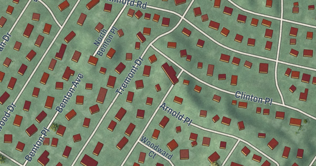
A detailed map of Shark River Hills, New Jersey, showing every building in its true location, the roads by name, and shaded topographical relief.
Read More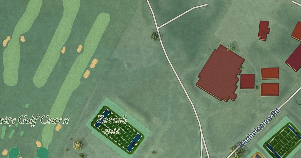
A detailed map of Rutgers University-Busch Campus, New Jersey, showing every building in its true location, the roads by name, and shaded topographical relief.
Read More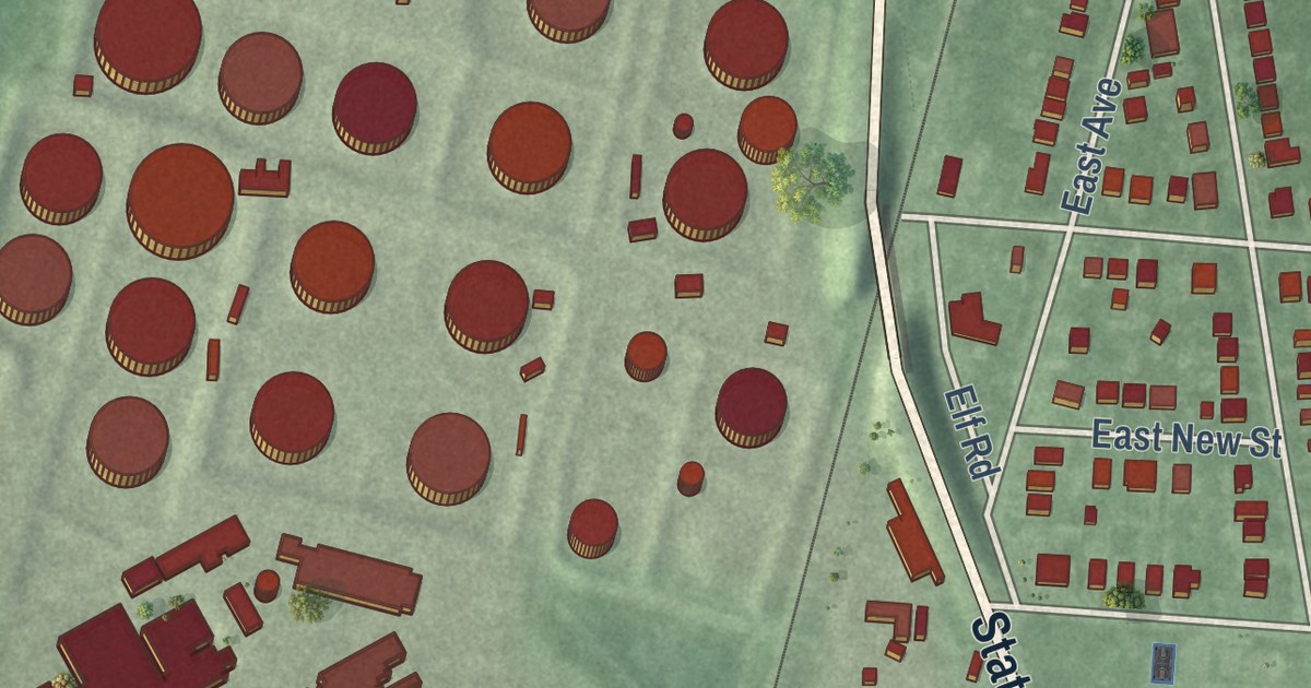
A detailed map of Sewaren, New Jersey, showing every building in its true location, the roads by name, and shaded topographical relief.
Read More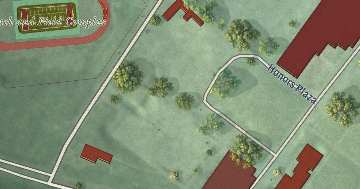
A detailed map of Rutgers University-Livingston Campus, New Jersey, showing every building in its true location, the roads by name, and shaded topographical relief.
Read More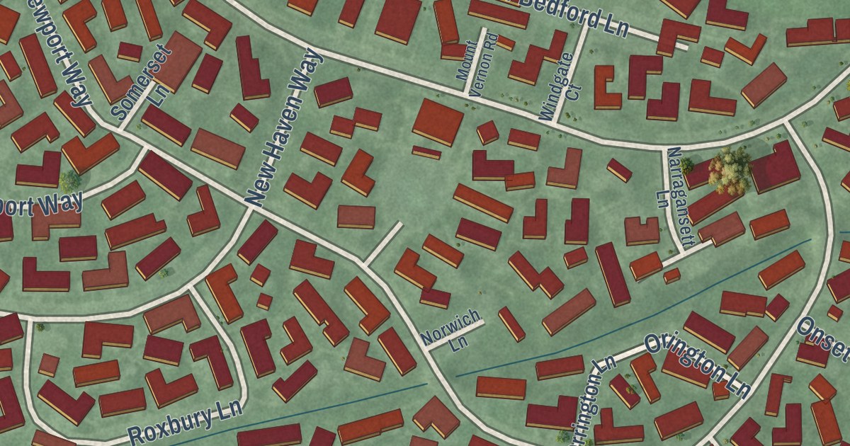
A detailed map of Rossmoor, New Jersey, showing every building in its true location, the roads by name, and shaded topographical relief.
Read More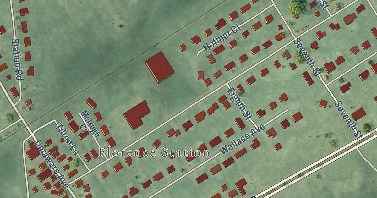
A detailed map of Roebling, New Jersey, showing every building in its true location, the roads by name, and shaded topographical relief.
Read More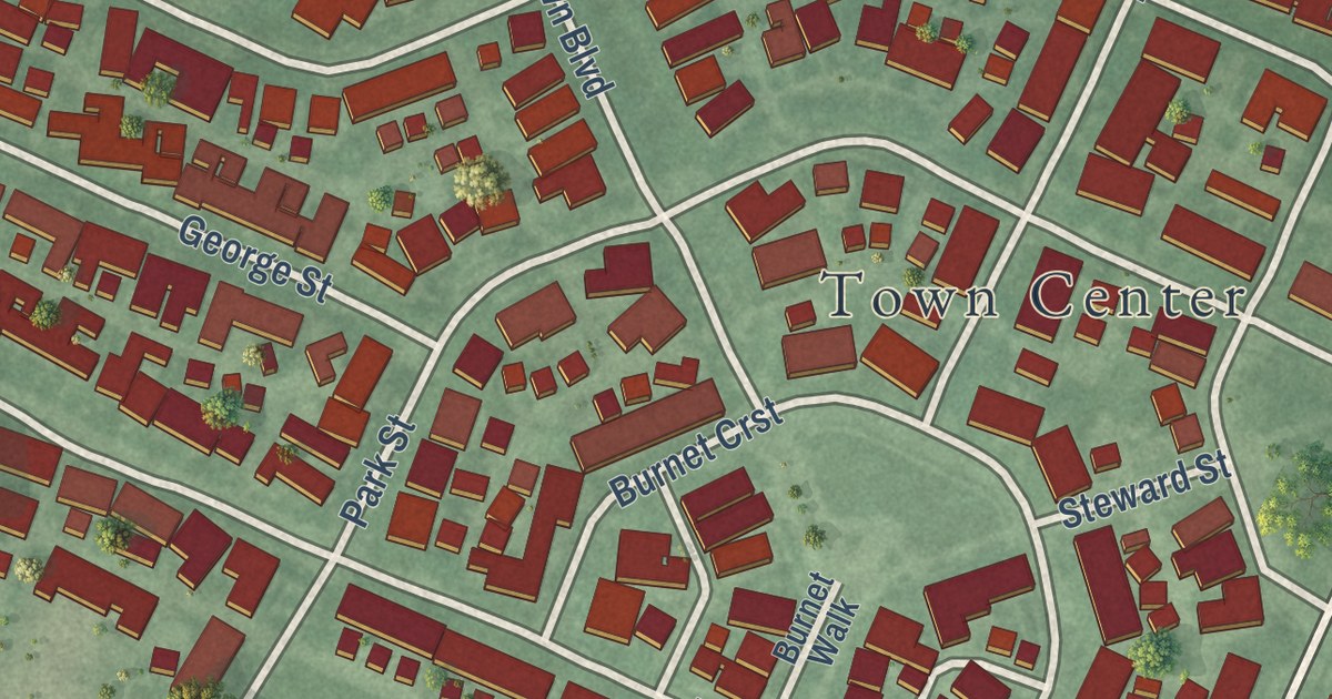
A detailed map of Robbinsville Center, New Jersey, showing every building in its true location, the roads by name, and shaded topographical relief.
Read More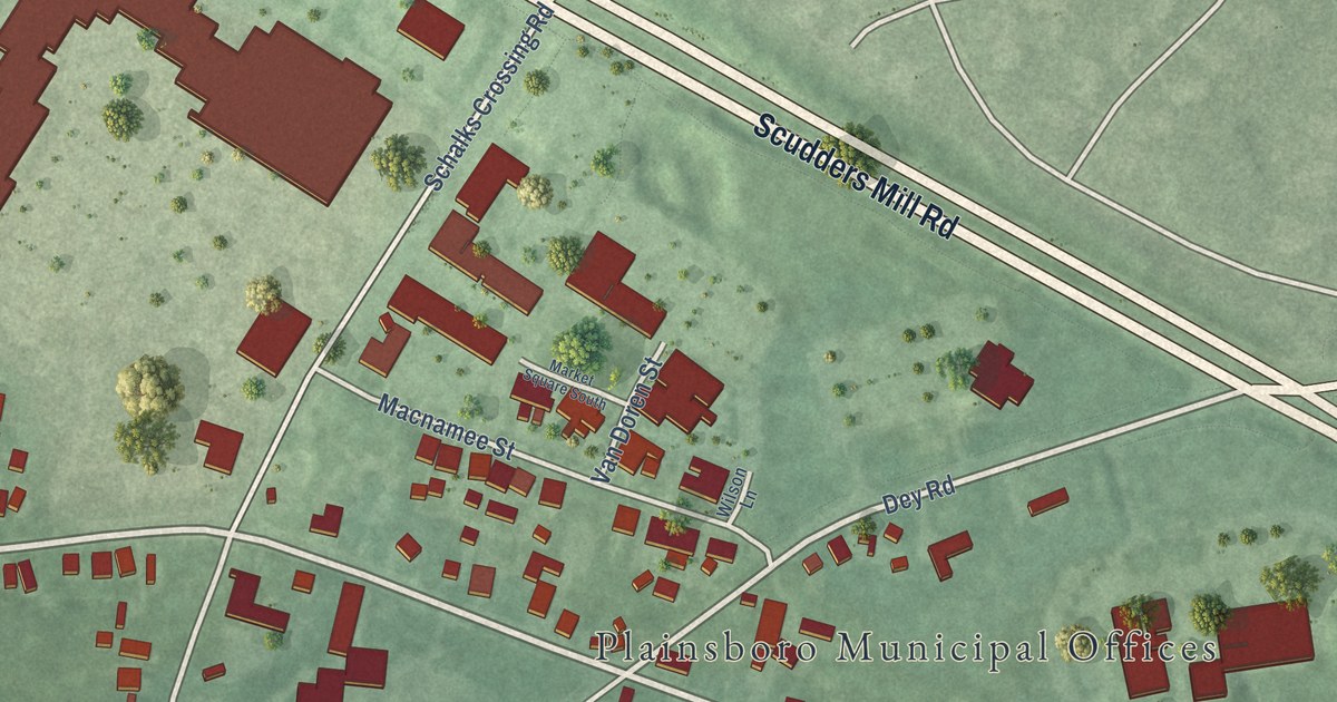
A detailed map of Plainsboro Center, New Jersey, showing every building in its true location, the roads by name, and shaded topographical relief.
Read More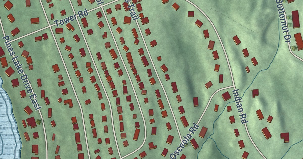
A detailed map of Pines Lake, New Jersey, showing every building in its true location, the roads by name, and shaded topographical relief.
Read More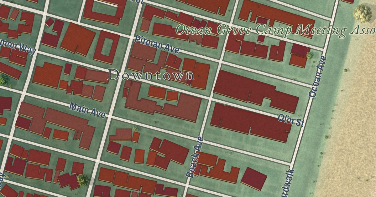
A detailed map of Ocean Grove, New Jersey, showing every building in its true location, the roads by name, and shaded topographical relief.
Read More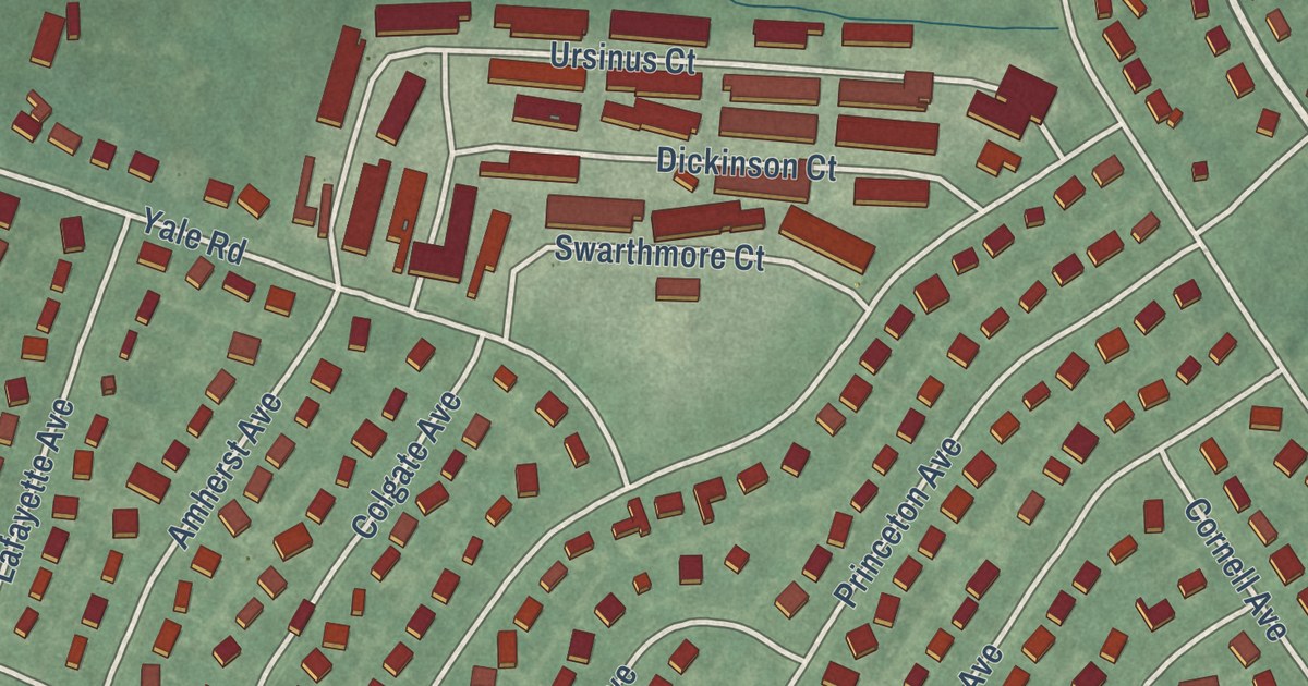
A detailed map of Pemberton Heights, New Jersey, showing every building in its true location, the roads by name, and shaded topographical relief.
Read More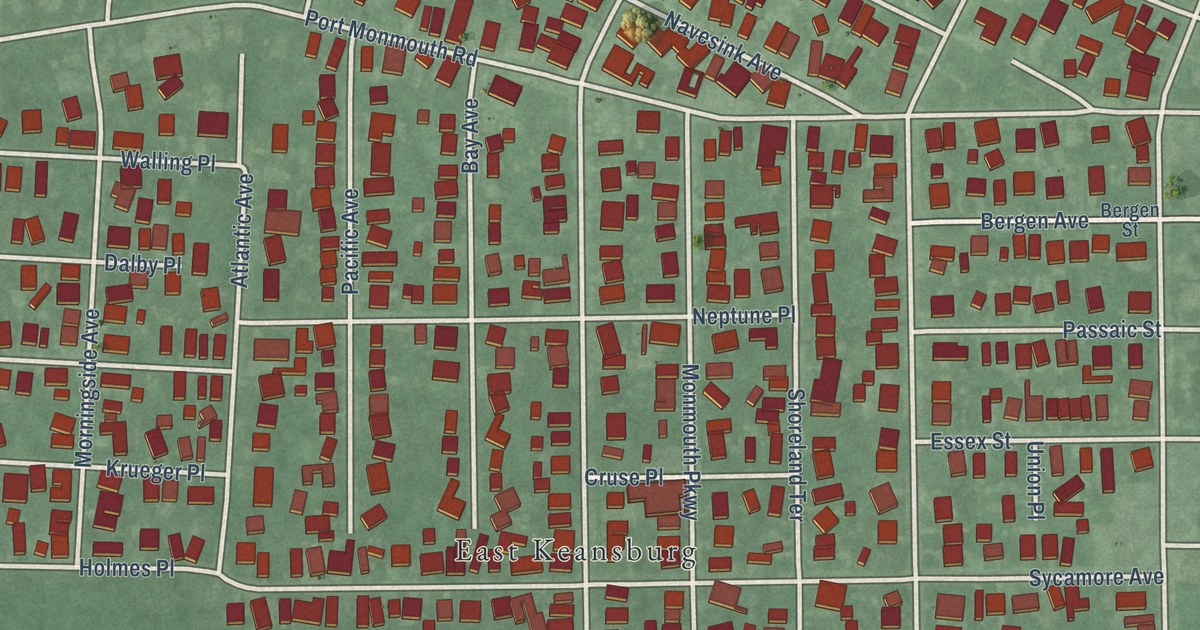
A detailed map of North Middletown, New Jersey, showing every building in its true location, the roads by name, and shaded topographical relief.
Read More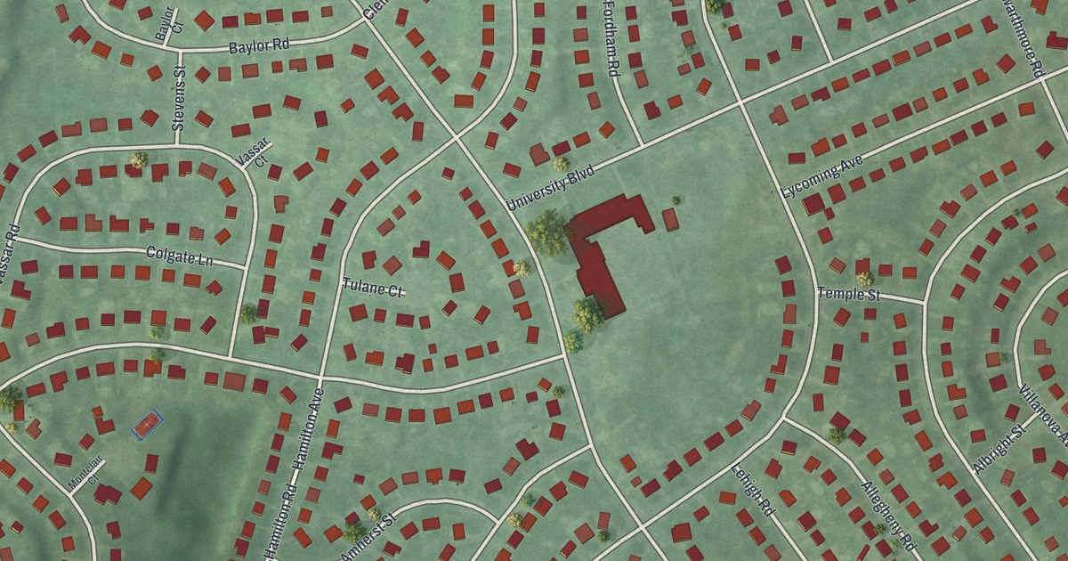
A detailed map of Oak Valley, New Jersey, showing every building in its true location, the roads by name, and shaded topographical relief.
Read More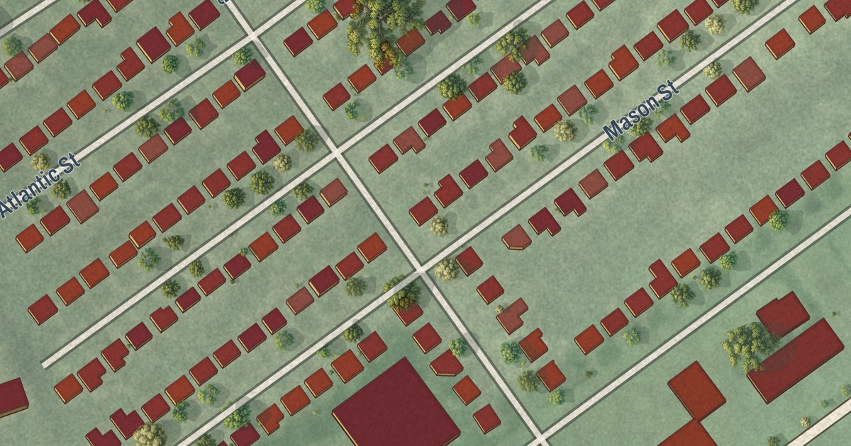
A detailed map of Menlo Park Terrace, New Jersey, showing every building in its true location, the roads by name, and shaded topographical relief.
Read More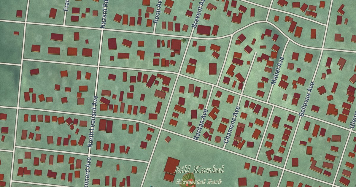
A detailed map of Leonardo, New Jersey, showing every building in its true location, the roads by name, and shaded topographical relief.
Read More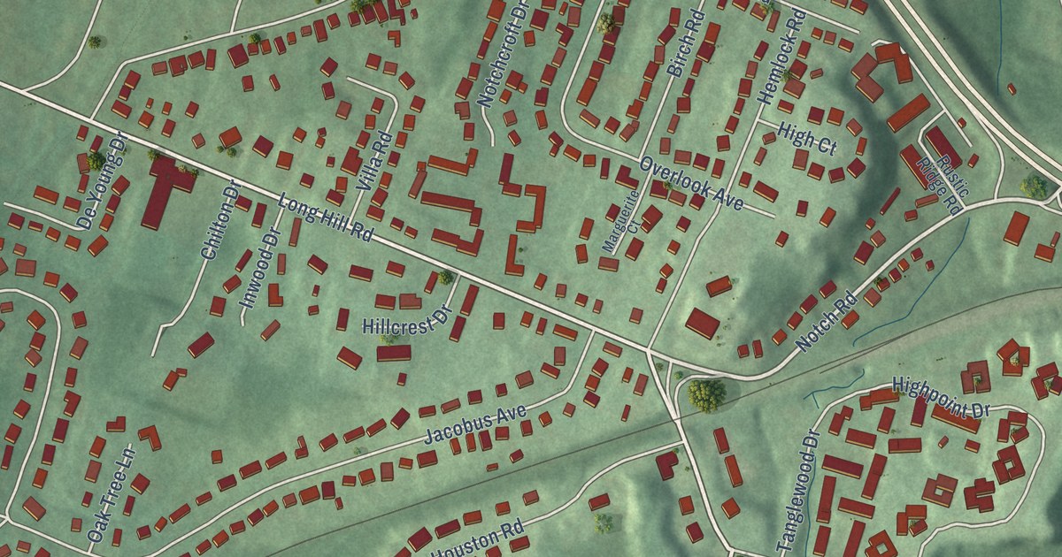
A detailed map of Great Notch, New Jersey, showing every building in its true location, the roads by name, and shaded topographical relief.
Read More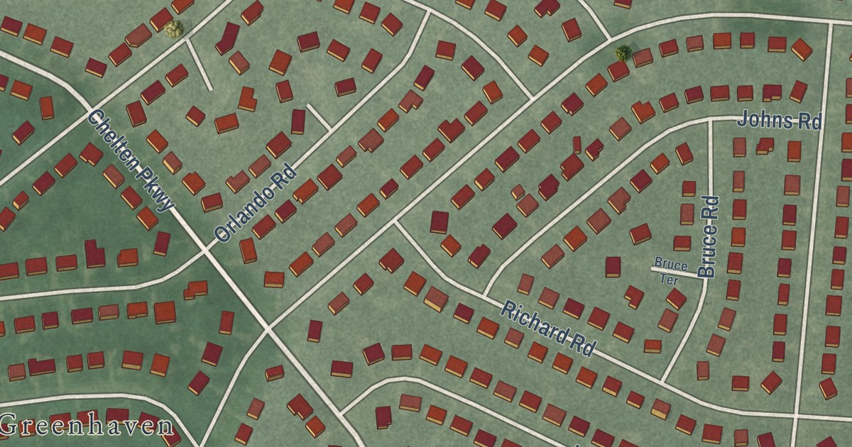
A detailed map of Kingston Estates, New Jersey, showing every building in its true location, the roads by name, and shaded topographical relief.
Read More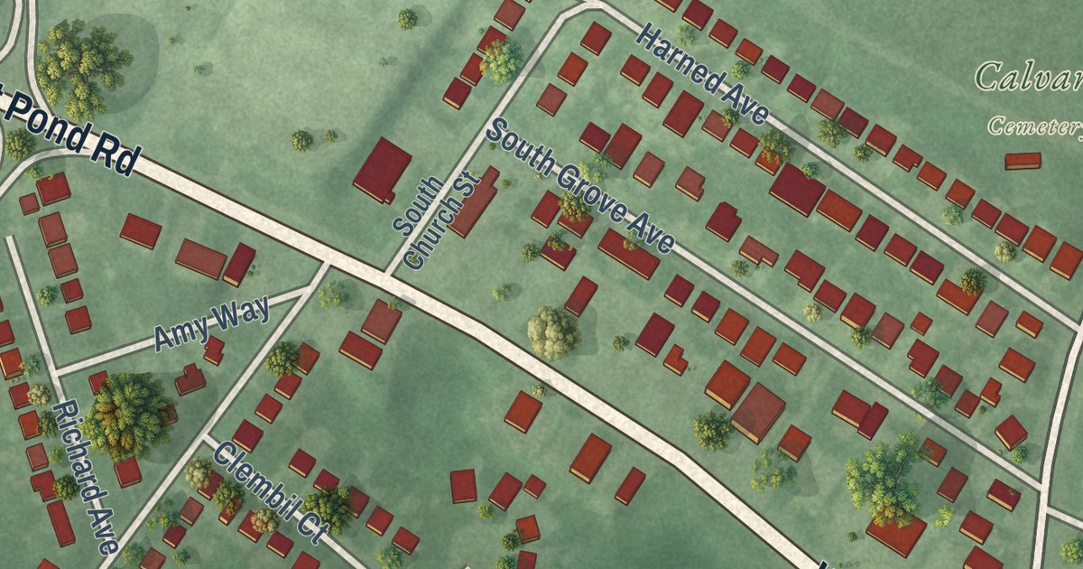
A detailed map of Hopelawn, New Jersey, showing every building in its true location, the roads by name, and shaded topographical relief.
Read More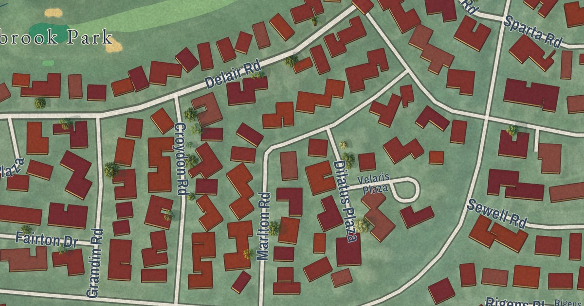
A detailed map of Clearbrook, New Jersey, showing every building in its true location, the roads by name, and shaded topographical relief.
Read More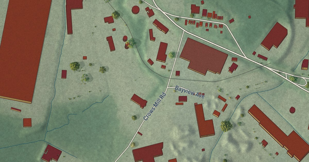
A detailed map of Keasbey, New Jersey, showing every building in its true location, the roads by name, and shaded topographical relief.
Read More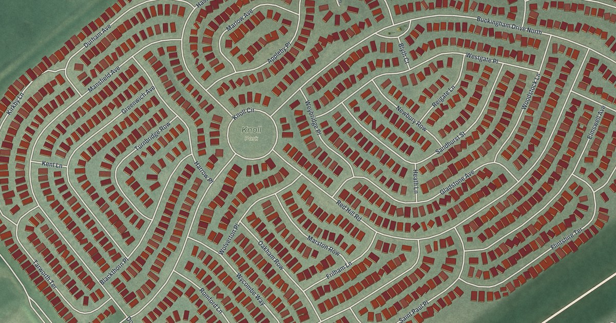
A detailed map of Leisure Knoll, New Jersey, showing every building in its true location, the roads by name, and shaded topographical relief.
Read More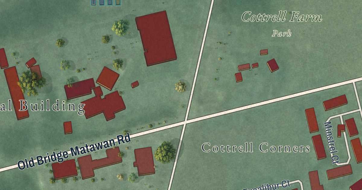
A detailed map of Brownville, New Jersey, showing every building in its true location, the roads by name, and shaded topographical relief.
Read More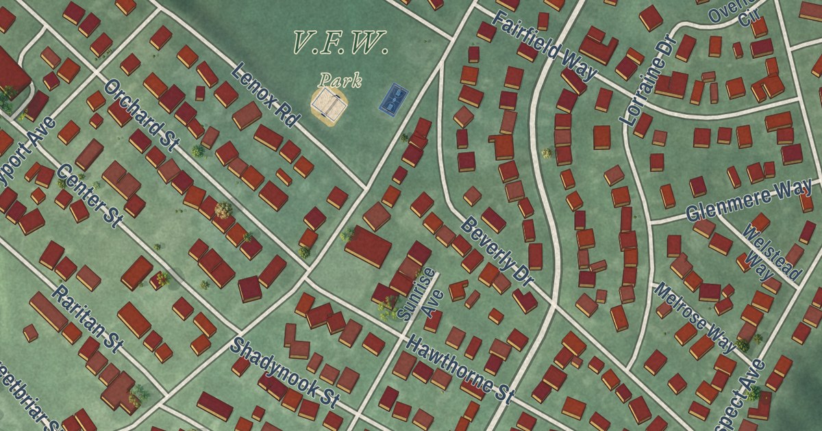
A detailed map of Cliffwood Beach, New Jersey, showing every building in its true location, the roads by name, and shaded topographical relief.
Read More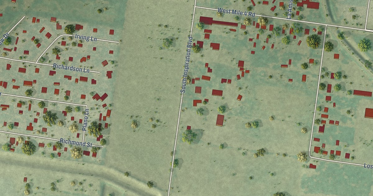
A detailed map of West Sharyland, Texas, showing every building in its true location, the roads by name, and shaded topographical relief.
Read More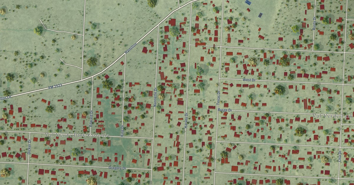
A detailed map of Val Verde Park, Texas, showing every building in its true location, the roads by name, and shaded topographical relief.
Read More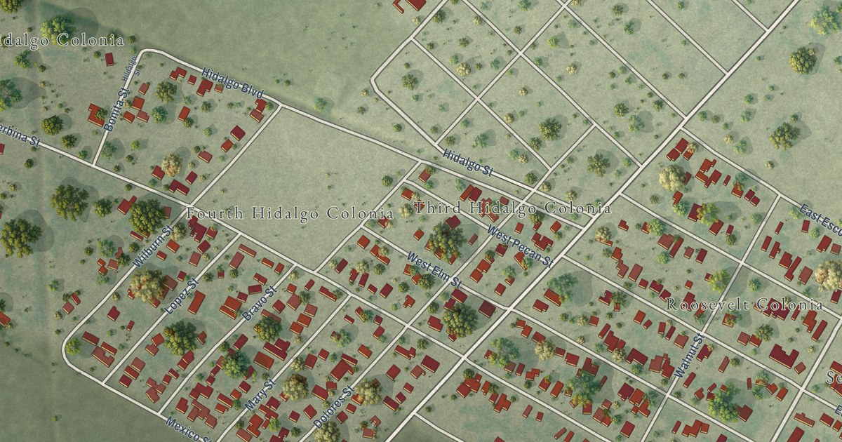
A detailed map of Taft Southwest, Texas, showing every building in its true location, the roads by name, and shaded topographical relief.
Read More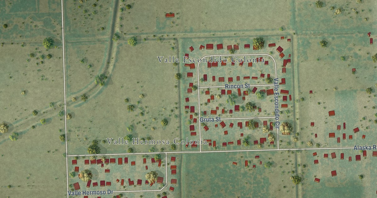
A detailed map of South Point, Texas, showing every building in its true location, the roads by name, and shaded topographical relief.
Read More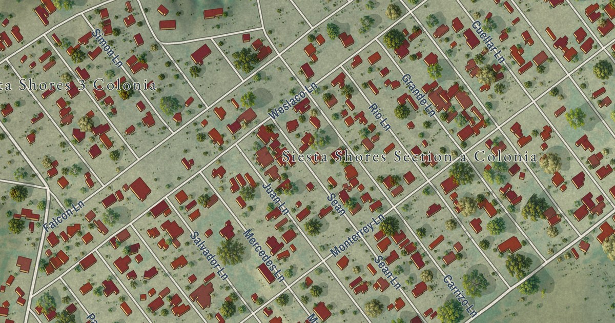
A detailed map of Siesta Shores, Texas, showing every building in its true location, the roads by name, and shaded topographical relief.
Read More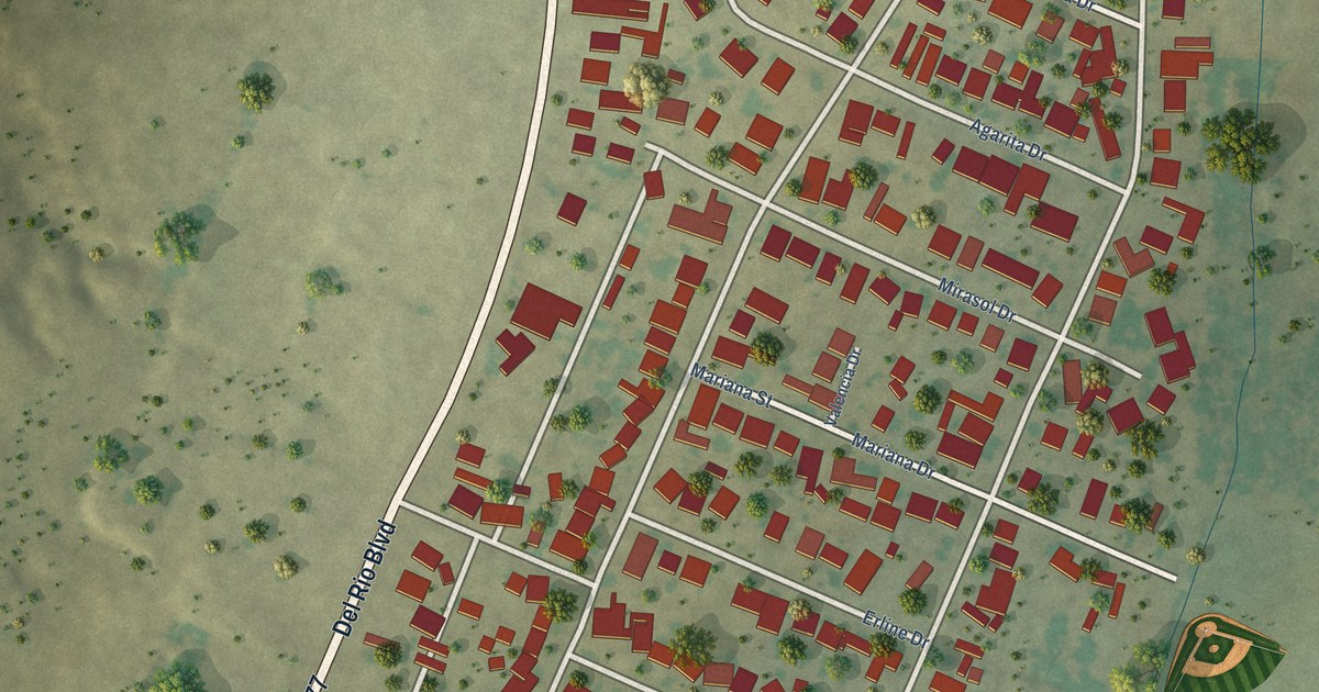
A detailed map of Siesta Acres, Texas, showing every building in its true location, the roads by name, and shaded topographical relief.
Read More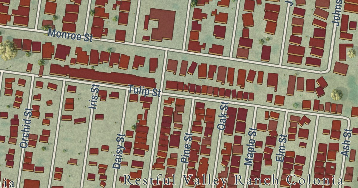
A detailed map of Perezville, Texas, showing every building in its true location, the roads by name, and shaded topographical relief.
Read More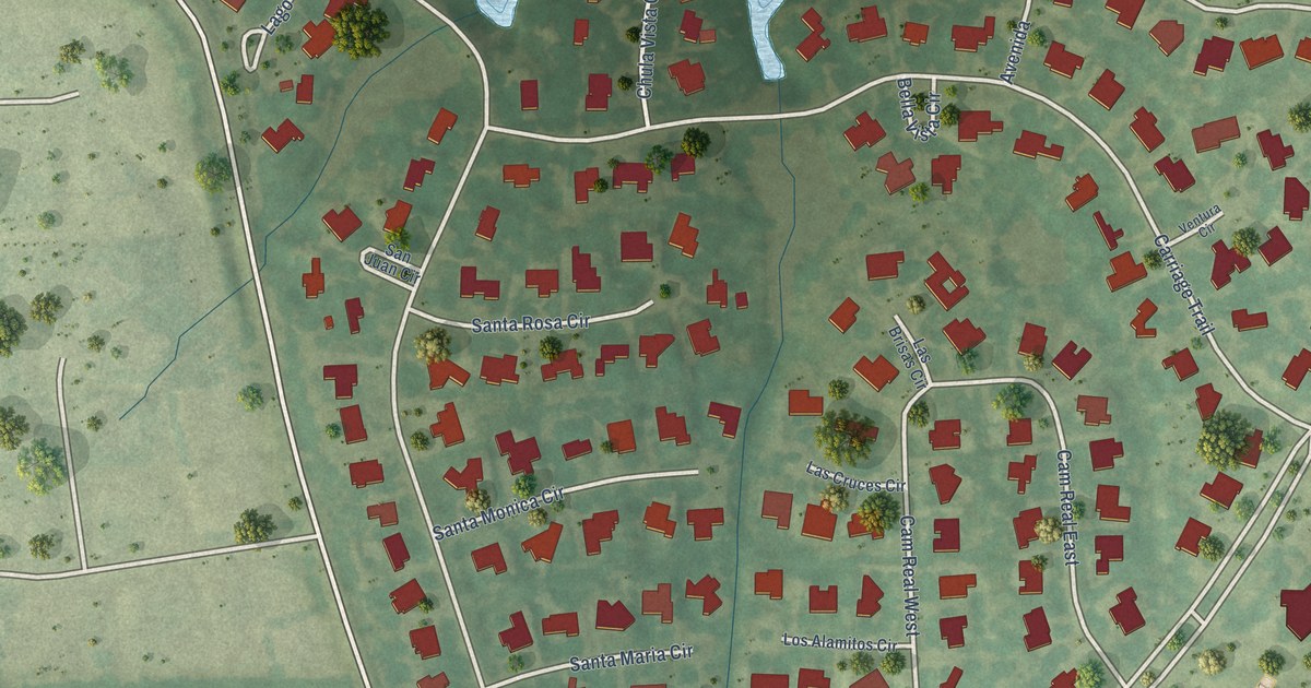
A detailed map of Seis Lagos, Texas, showing every building in its true location, the roads by name, and shaded topographical relief.
Read More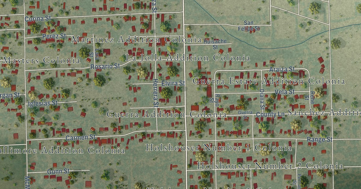
A detailed map of Rancho Alegre, Texas, showing every building in its true location, the roads by name, and shaded topographical relief.
Read More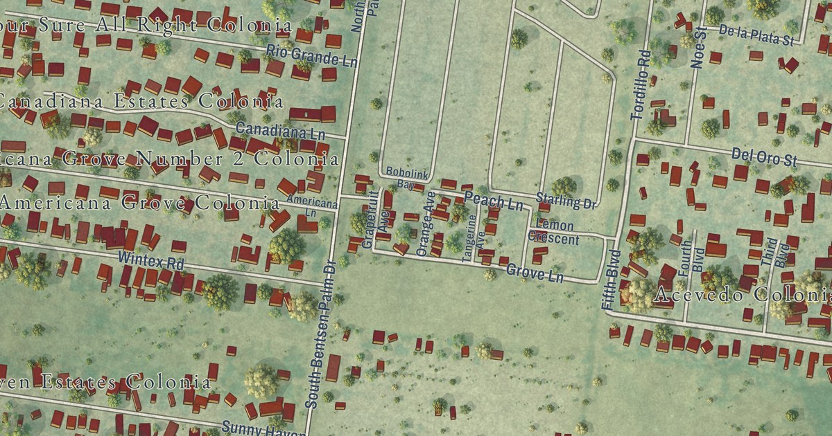
A detailed map of Palmview South, Texas, showing every building in its true location, the roads by name, and shaded topographical relief.
Read More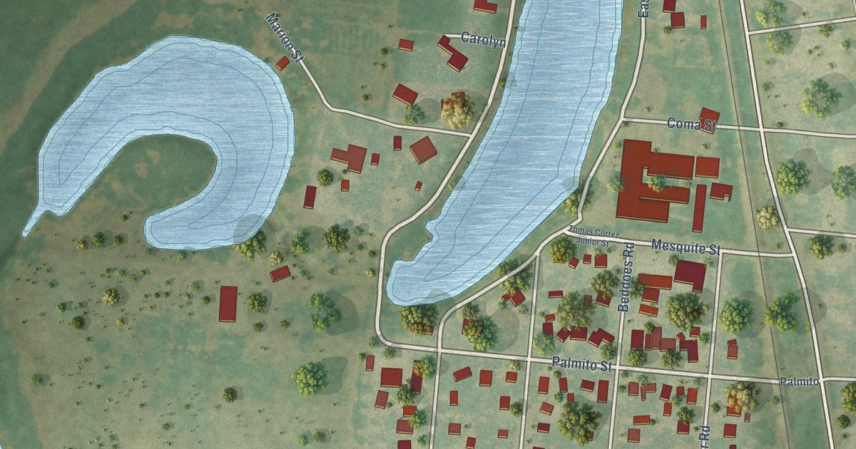
A detailed map of Olmito, Texas, showing every building in its true location, the roads by name, and shaded topographical relief.
Read More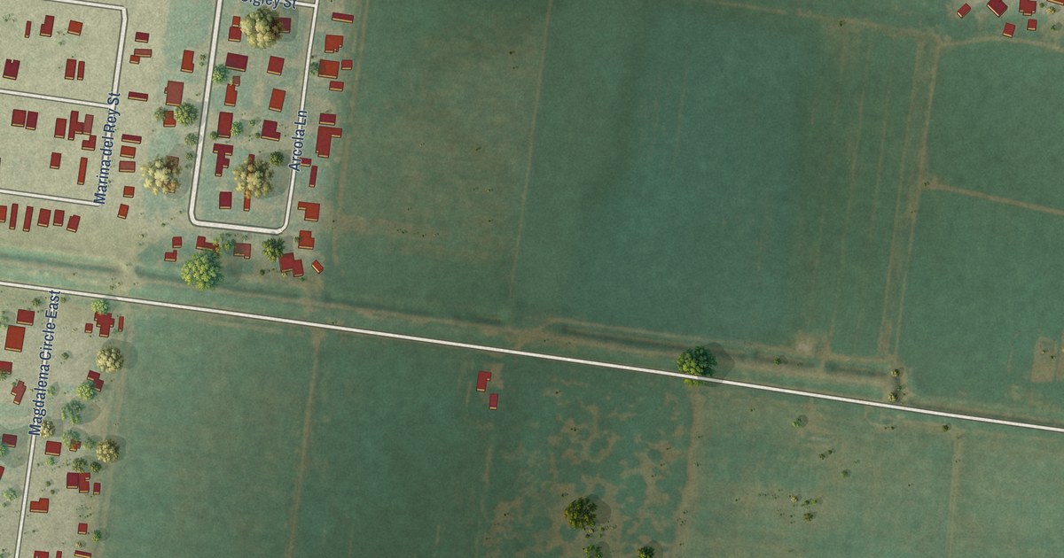
A detailed map of Muniz, Texas, showing every building in its true location, the roads by name, and shaded topographical relief.
Read More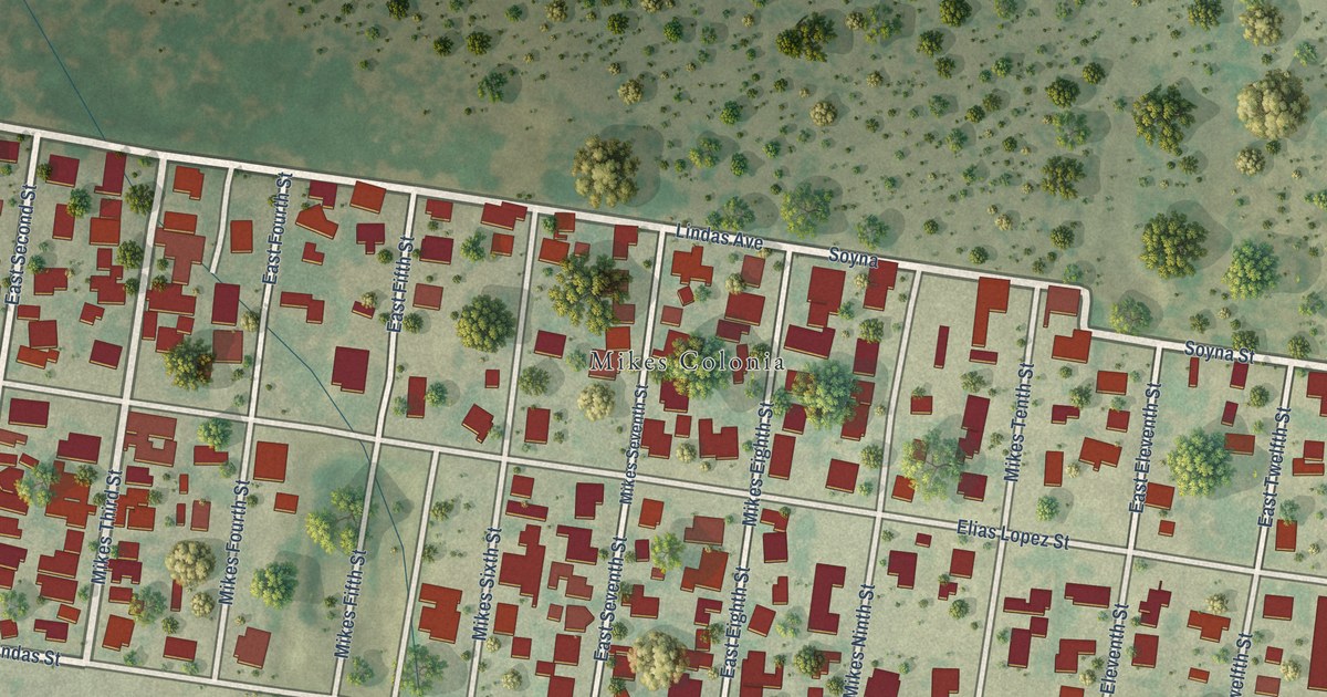
A detailed map of Mikes, Texas, showing every building in its true location, the roads by name, and shaded topographical relief.
Read More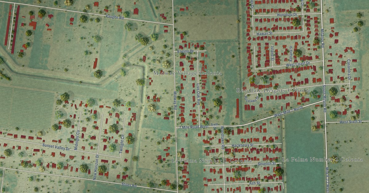
A detailed map of Midway South, Texas, showing every building in its true location, the roads by name, and shaded topographical relief.
Read More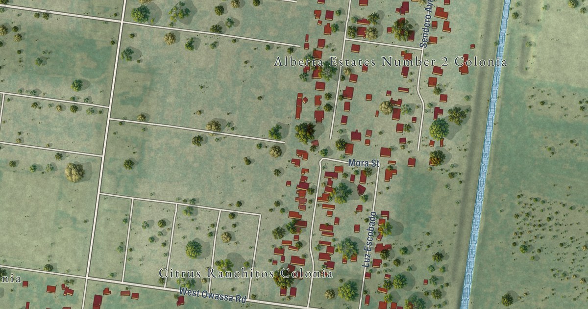
A detailed map of Lopezville, Texas, showing every building in its true location, the roads by name, and shaded topographical relief.
Read More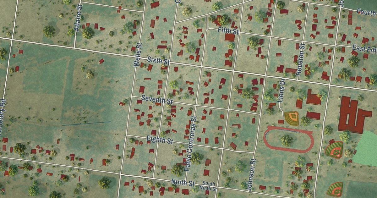
A detailed map of Lasara, Texas, showing every building in its true location, the roads by name, and shaded topographical relief.
Read More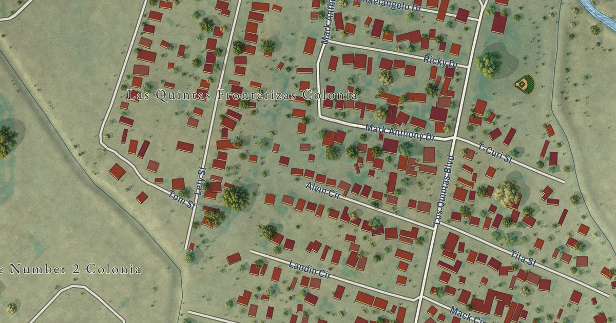
A detailed map of Las Quintas Fronterizas, Texas, showing every building in its true location, the roads by name, and shaded topographical relief.
Read More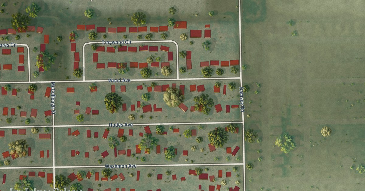
A detailed map of Las Palmas II, Texas, showing every building in its true location, the roads by name, and shaded topographical relief.
Read More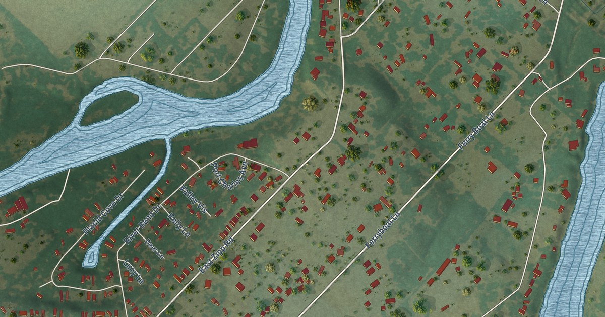
A detailed map of Lake Dunlap, Texas, showing every building in its true location, the roads by name, and shaded topographical relief.
Read More















