Detailed Map of Laguna Heights, Texas
A detailed map of Laguna Heights, Texas, showing every building in its true location, the roads by name, and shaded topographical relief.
Read More
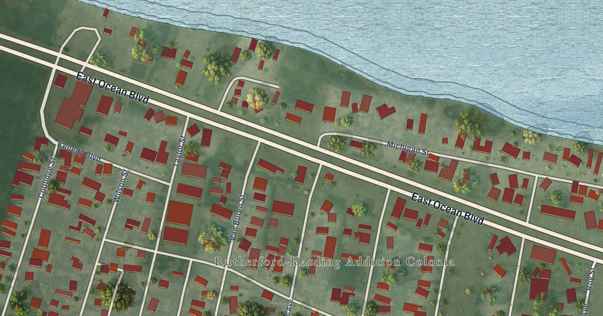
A detailed map of Laguna Heights, Texas, showing every building in its true location, the roads by name, and shaded topographical relief.
Read More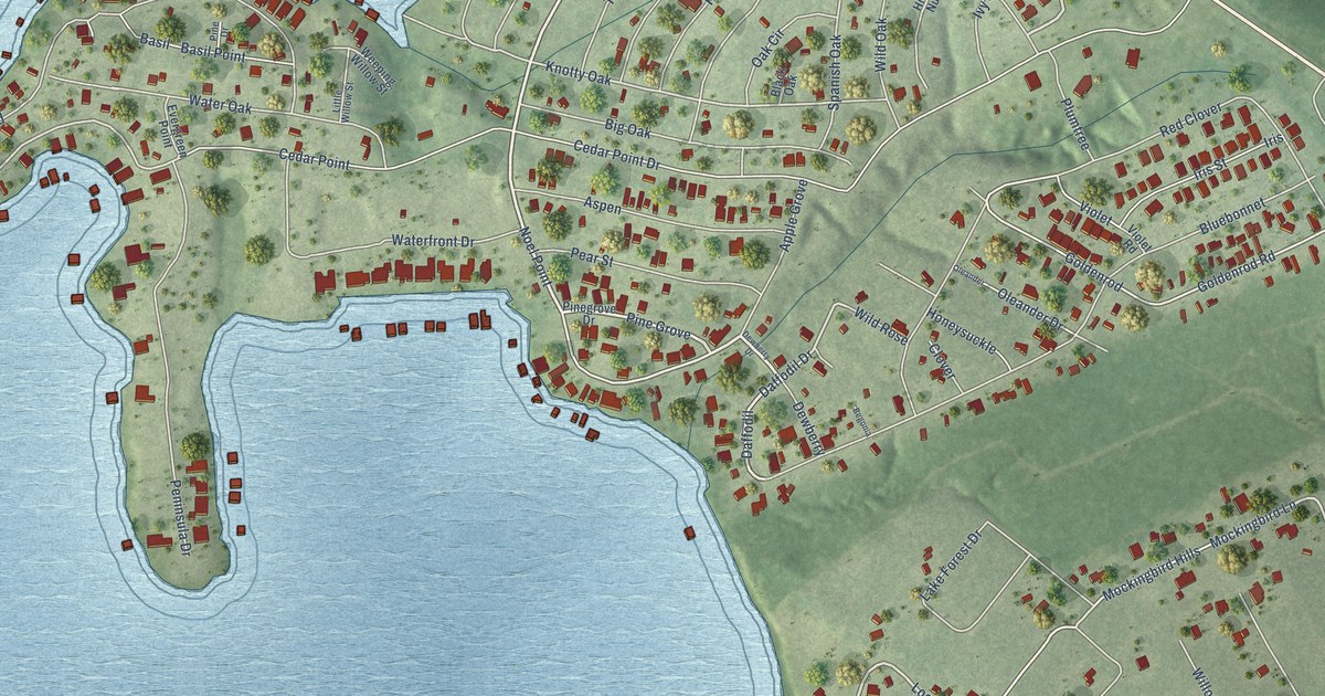
A detailed map of Cedar Point, Texas, showing every building in its true location, the roads by name, and shaded topographical relief.
Read More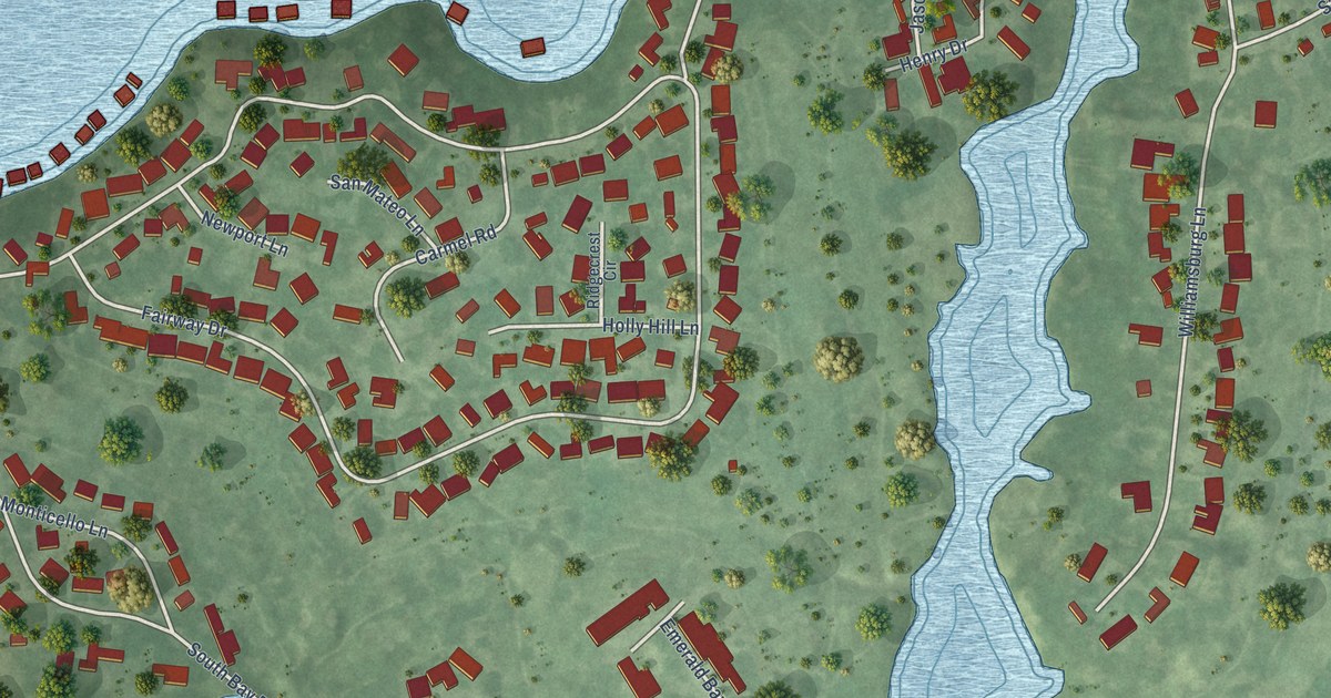
A detailed map of Emerald Bay, Texas, showing every building in its true location, the roads by name, and shaded topographical relief.
Read More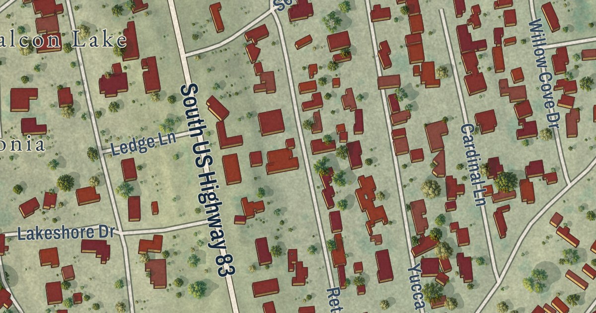
A detailed map of Falcon Lake Estates, Texas, showing every building in its true location, the roads by name, and shaded topographical relief.
Read More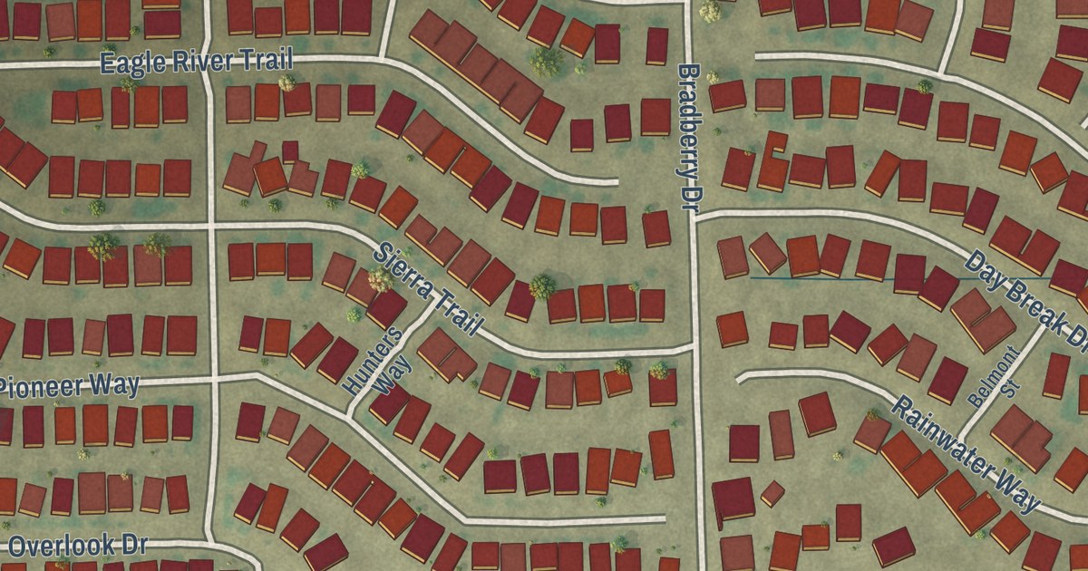
A detailed map of Bear Creek Ranch, Texas, showing every building in its true location, the roads by name, and shaded topographical relief.
Read More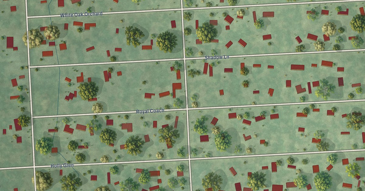
A detailed map of Deerwood, Texas, showing every building in its true location, the roads by name, and shaded topographical relief.
Read More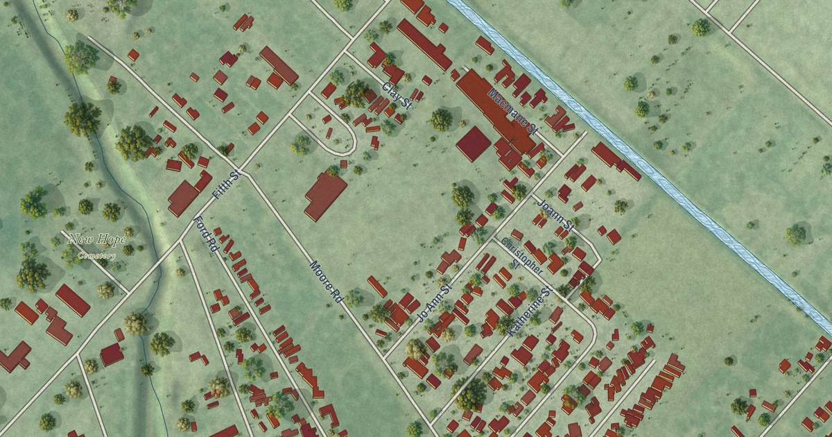
A detailed map of Fifth Street, Texas, showing every building in its true location, the roads by name, and shaded topographical relief.
Read More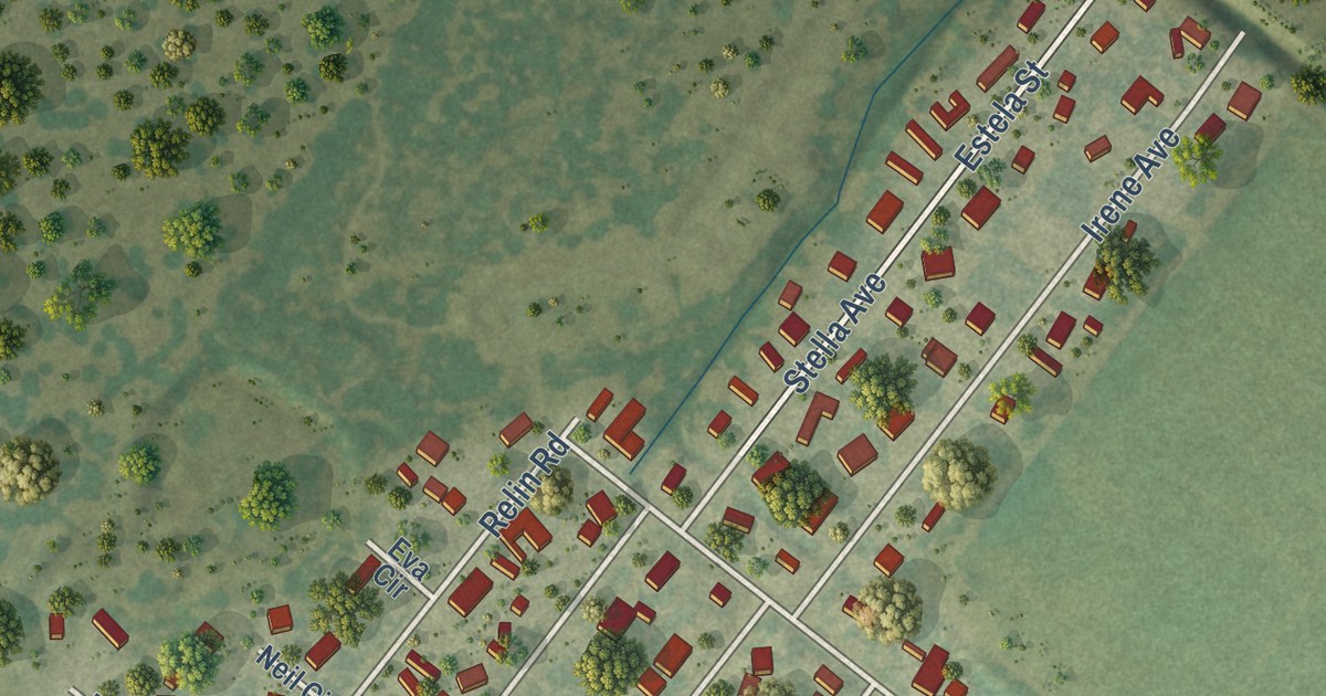
A detailed map of Arroyo Colorado Estates, Texas, showing every building in its true location, the roads by name, and shaded topographical relief.
Read More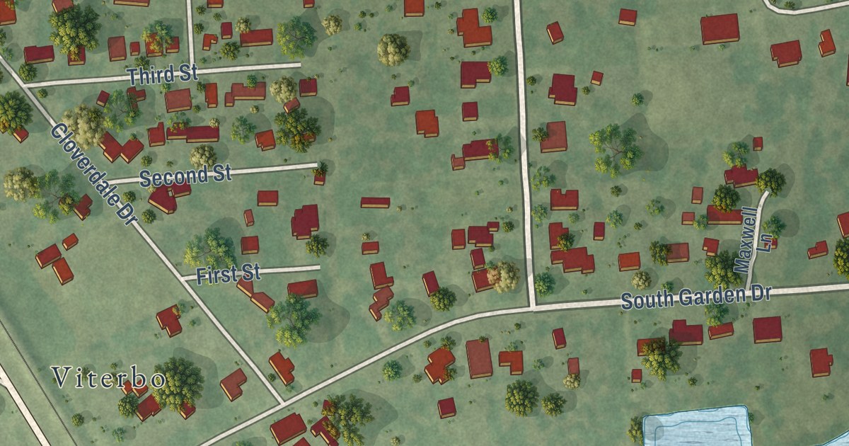
A detailed map of Beauxart Gardens, Texas, showing every building in its true location, the roads by name, and shaded topographical relief.
Read More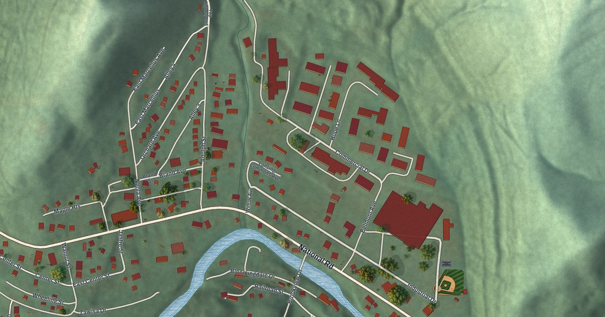
A detailed map of Wolfhurst, Ohio, showing every building in its true location, the roads by name, and shaded topographical relief.
Read More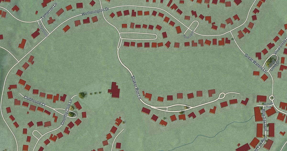
A detailed map of Wetherington, Ohio, showing every building in its true location, the roads by name, and shaded topographical relief.
Read More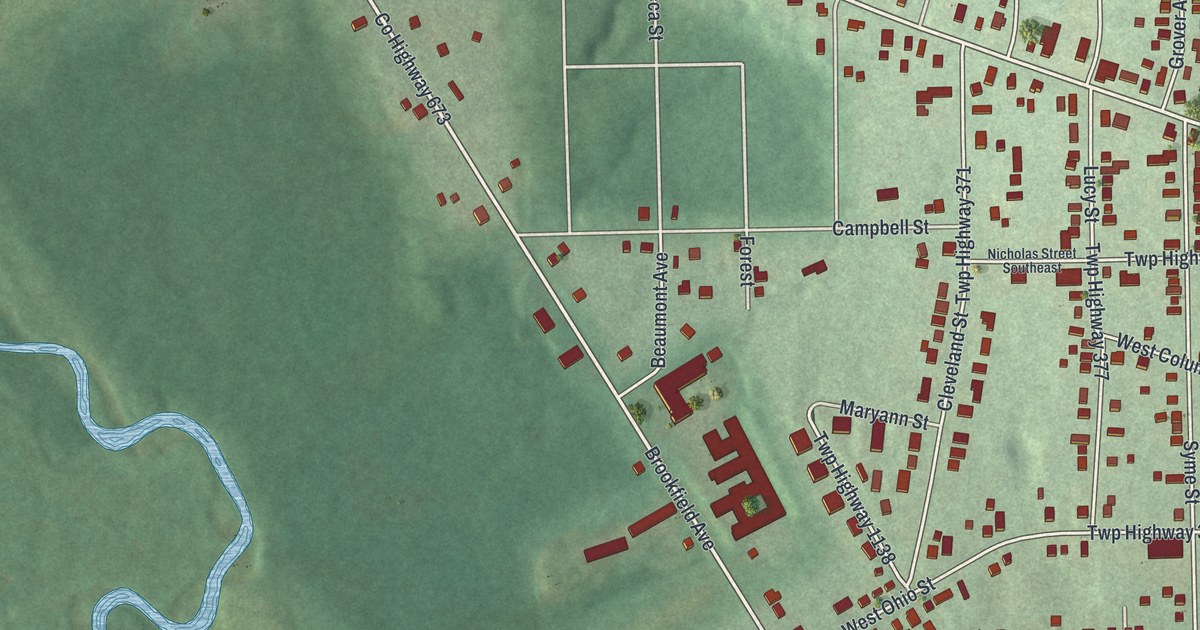
A detailed map of West Hill, Ohio, showing every building in its true location, the roads by name, and shaded topographical relief.
Read More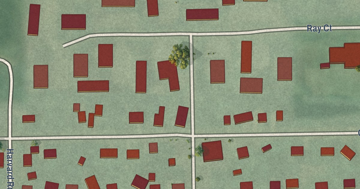
A detailed map of Twinsburg Heights, Ohio, showing every building in its true location, the roads by name, and shaded topographical relief.
Read More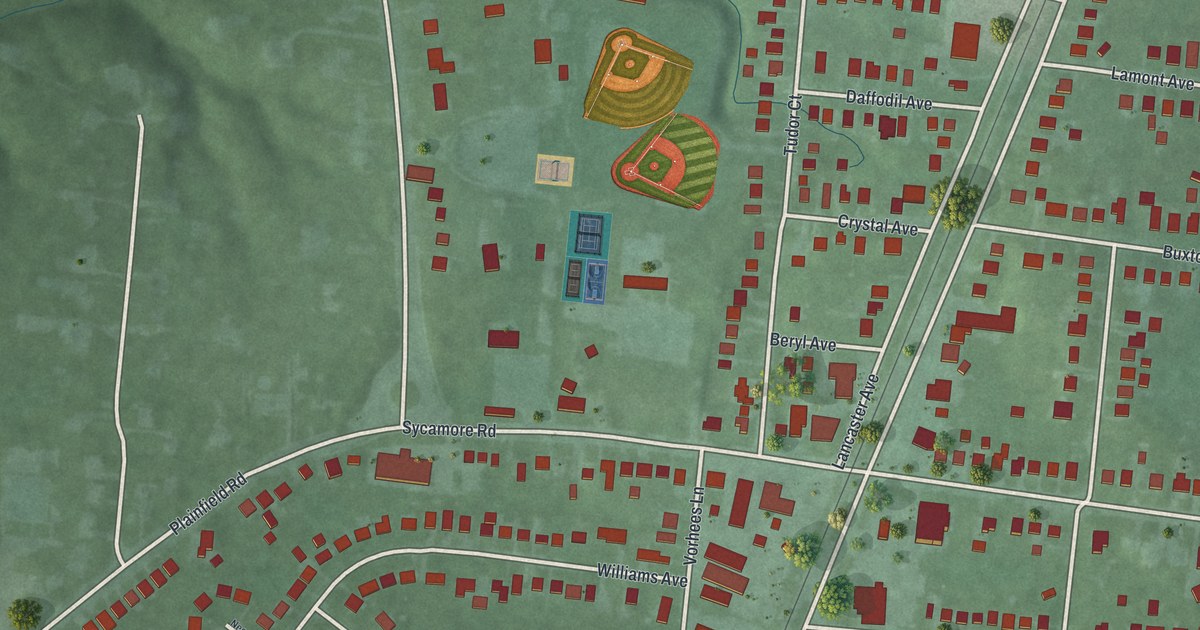
A detailed map of Rossmoyne, Ohio, showing every building in its true location, the roads by name, and shaded topographical relief.
Read More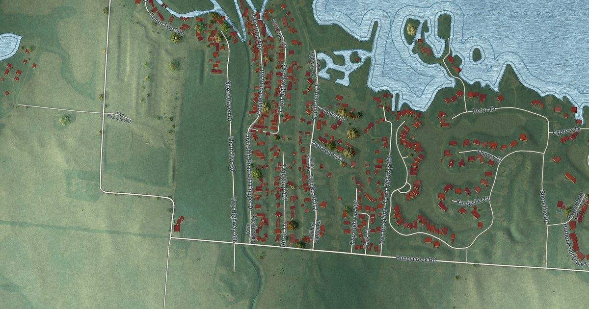
A detailed map of Thornport, Ohio, showing every building in its true location, the roads by name, and shaded topographical relief.
Read More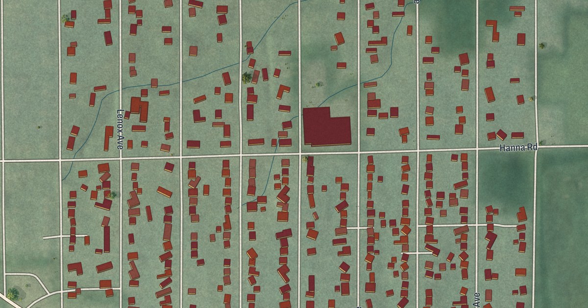
A detailed map of Roseland, Ohio, showing every building in its true location, the roads by name, and shaded topographical relief.
Read More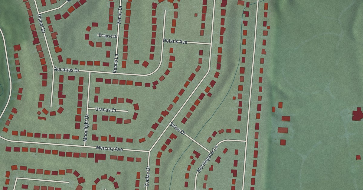
A detailed map of Skyline Acres, Ohio, showing every building in its true location, the roads by name, and shaded topographical relief.
Read More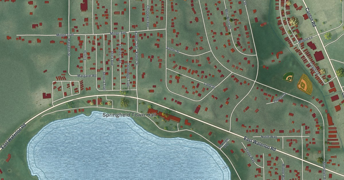
A detailed map of Sawyerwood, Ohio, showing every building in its true location, the roads by name, and shaded topographical relief.
Read More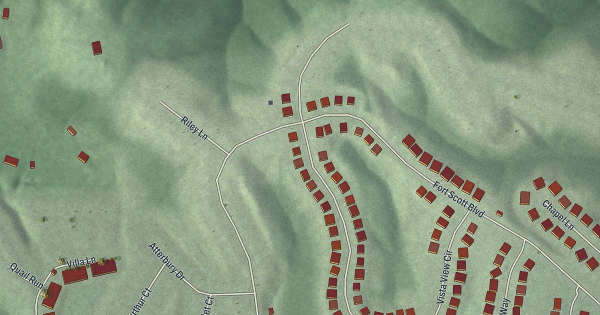
A detailed map of New Baltimore, Ohio, showing every building in its true location, the roads by name, and shaded topographical relief.
Read More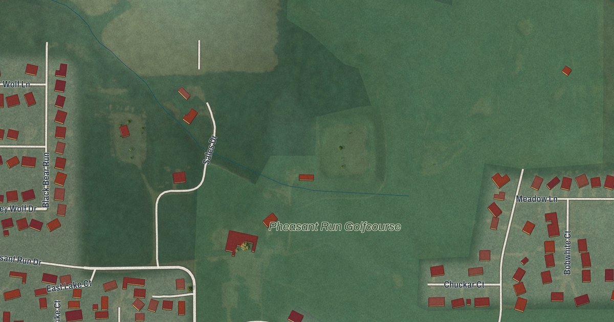
A detailed map of Pheasant Run, Ohio, showing every building in its true location, the roads by name, and shaded topographical relief.
Read More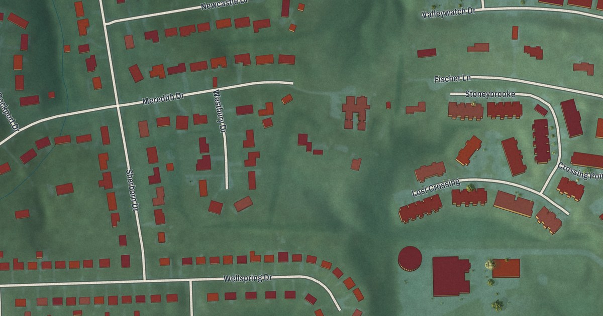
A detailed map of Pleasant Hills, Ohio, showing every building in its true location, the roads by name, and shaded topographical relief.
Read More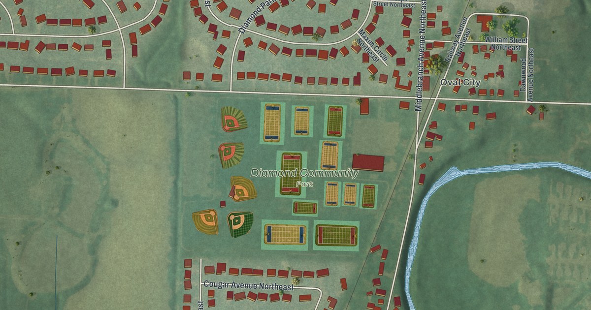
A detailed map of Middlebranch, Ohio, showing every building in its true location, the roads by name, and shaded topographical relief.
Read More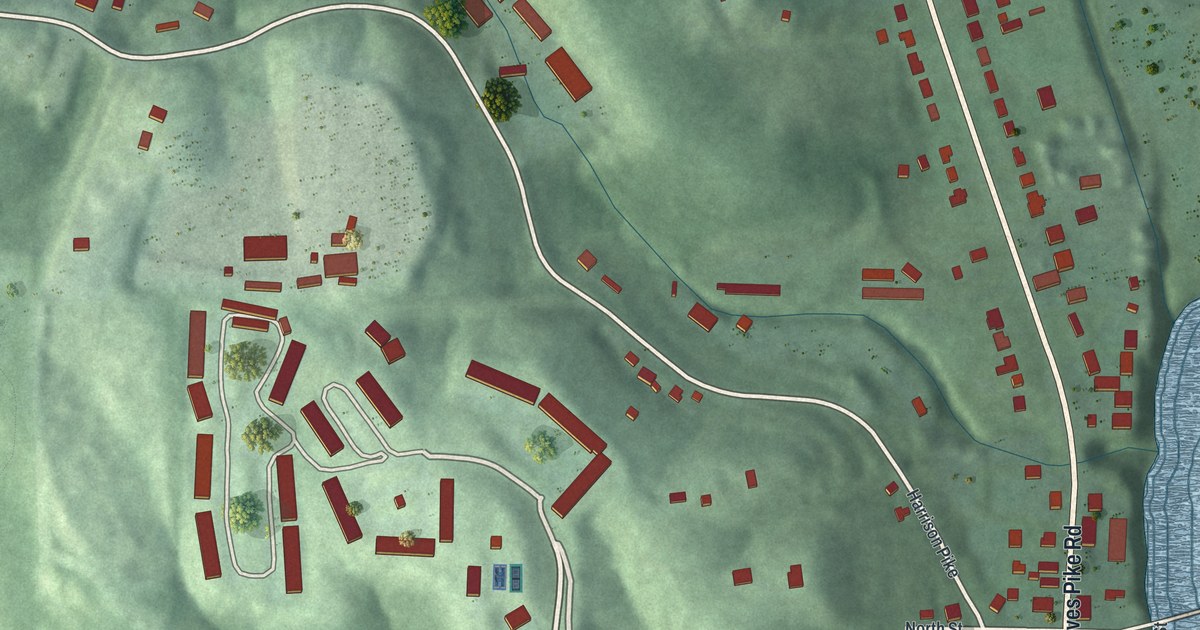
A detailed map of Miamitown, Ohio, showing every building in its true location, the roads by name, and shaded topographical relief.
Read More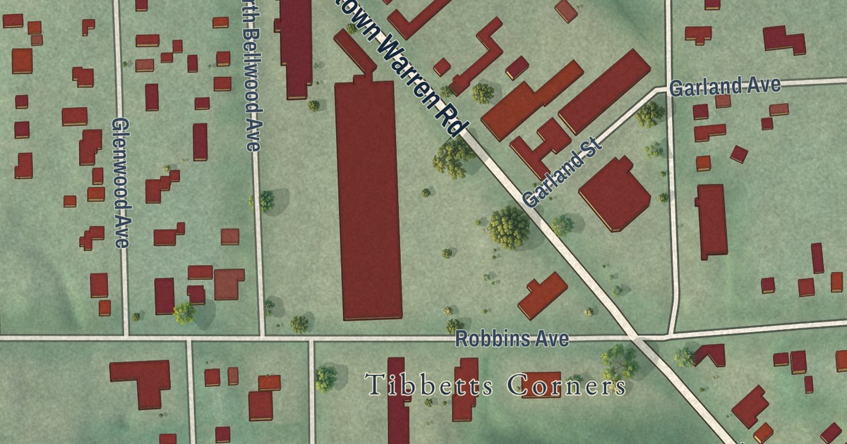
A detailed map of McKinley Heights, Ohio, showing every building in its true location, the roads by name, and shaded topographical relief.
Read More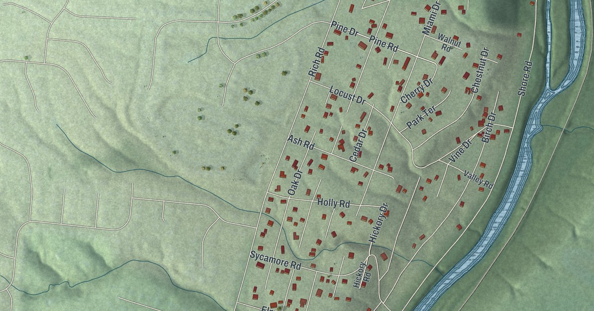
A detailed map of Loveland Park, Ohio, showing every building in its true location, the roads by name, and shaded topographical relief.
Read More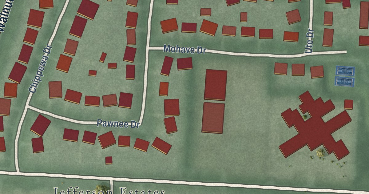
A detailed map of Logan Elm Village, Ohio, showing every building in its true location, the roads by name, and shaded topographical relief.
Read More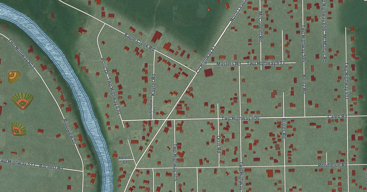
A detailed map of Leavittsburg, Ohio, showing every building in its true location, the roads by name, and shaded topographical relief.
Read More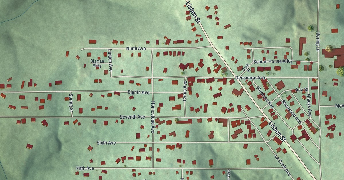
A detailed map of La Croft, Ohio, showing every building in its true location, the roads by name, and shaded topographical relief.
Read More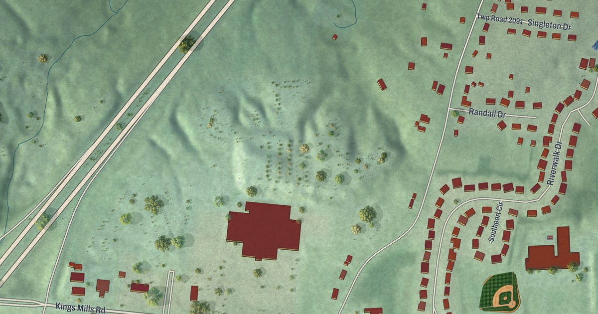
A detailed map of Kings Mills, Ohio, showing every building in its true location, the roads by name, and shaded topographical relief.
Read More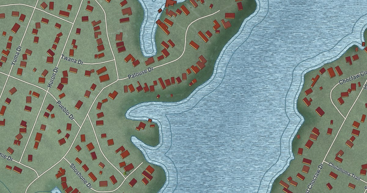
A detailed map of Choctaw Lake, Ohio, showing every building in its true location, the roads by name, and shaded topographical relief.
Read More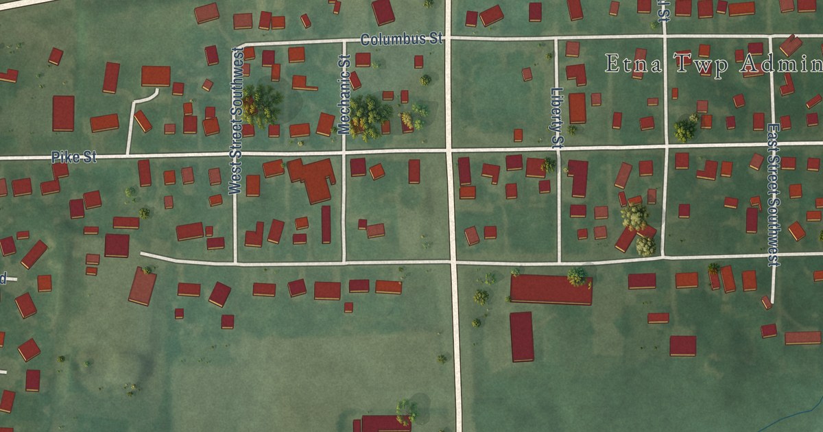
A detailed map of Etna, Ohio, showing every building in its true location, the roads by name, and shaded topographical relief.
Read More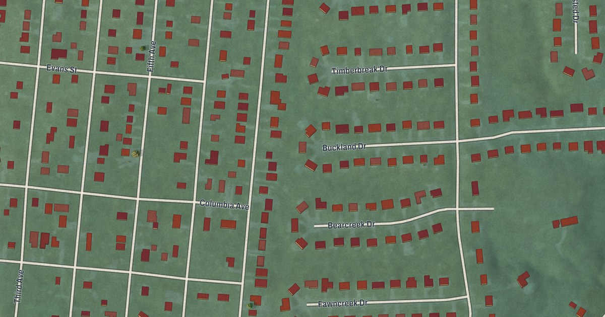
A detailed map of Highpoint, Ohio, showing every building in its true location, the roads by name, and shaded topographical relief.
Read More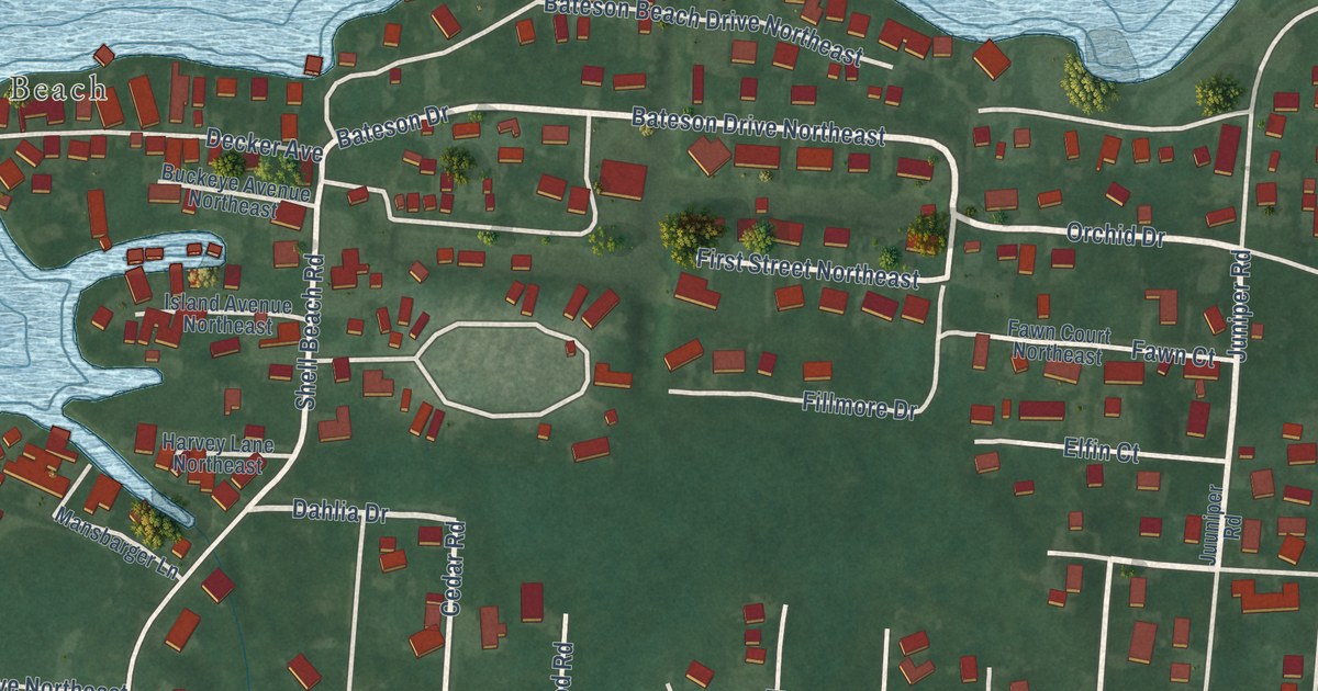
A detailed map of Fairfield Beach, Ohio, showing every building in its true location, the roads by name, and shaded topographical relief.
Read More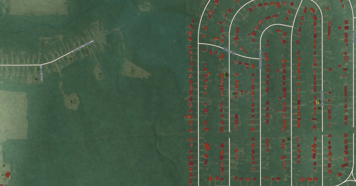
A detailed map of Eaton Estates, Ohio, showing every building in its true location, the roads by name, and shaded topographical relief.
Read More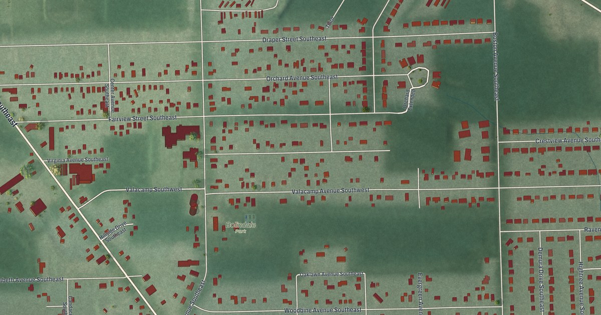
A detailed map of Bolindale, Ohio, showing every building in its true location, the roads by name, and shaded topographical relief.
Read More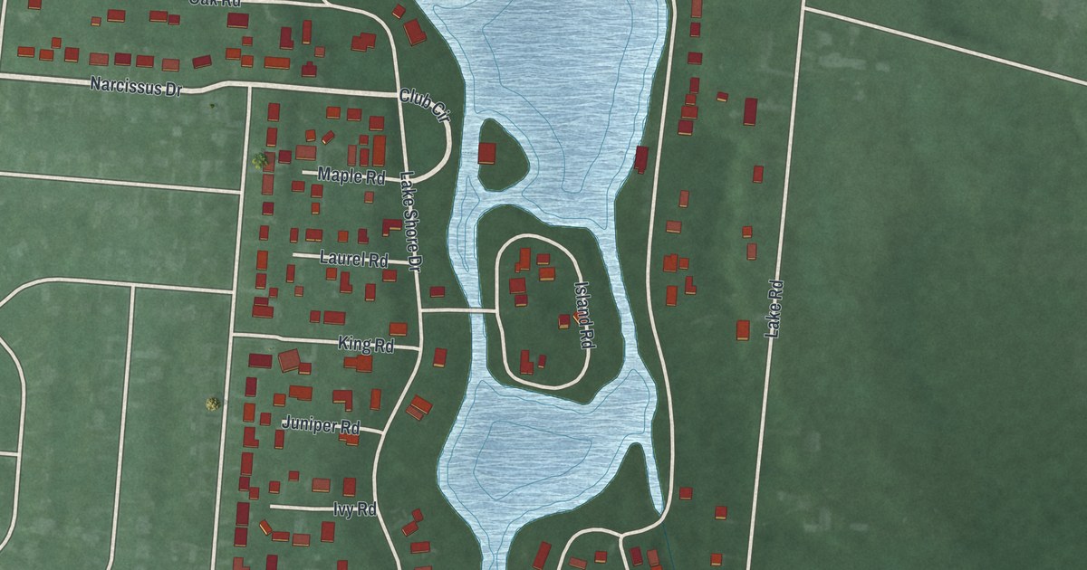
A detailed map of Crystal Lakes, Ohio, showing every building in its true location, the roads by name, and shaded topographical relief.
Read More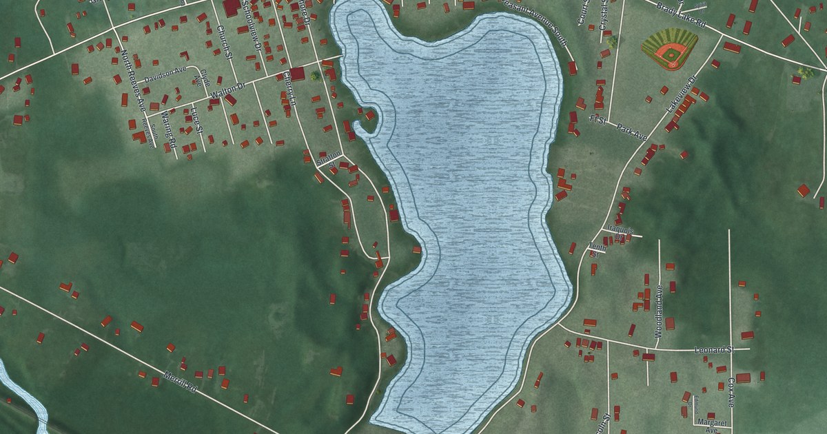
A detailed map of Brady Lake, Ohio, showing every building in its true location, the roads by name, and shaded topographical relief.
Read More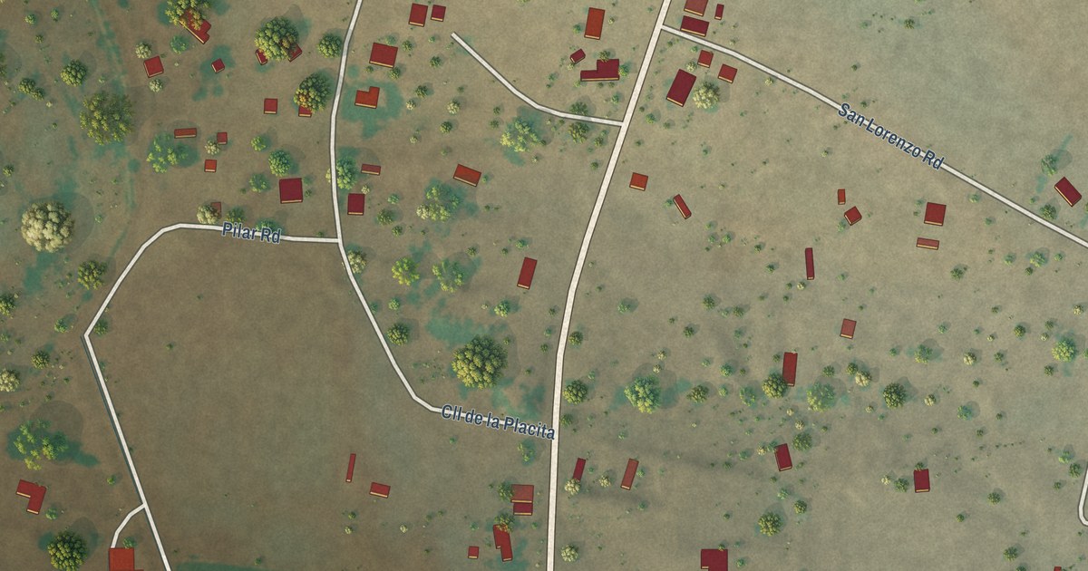
A detailed map of Veguita, New Mexico, showing every building in its true location, the roads by name, and shaded topographical relief.
Read More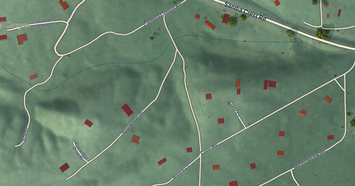
A detailed map of Sandia Park, New Mexico, showing every building in its true location, the roads by name, and shaded topographical relief.
Read More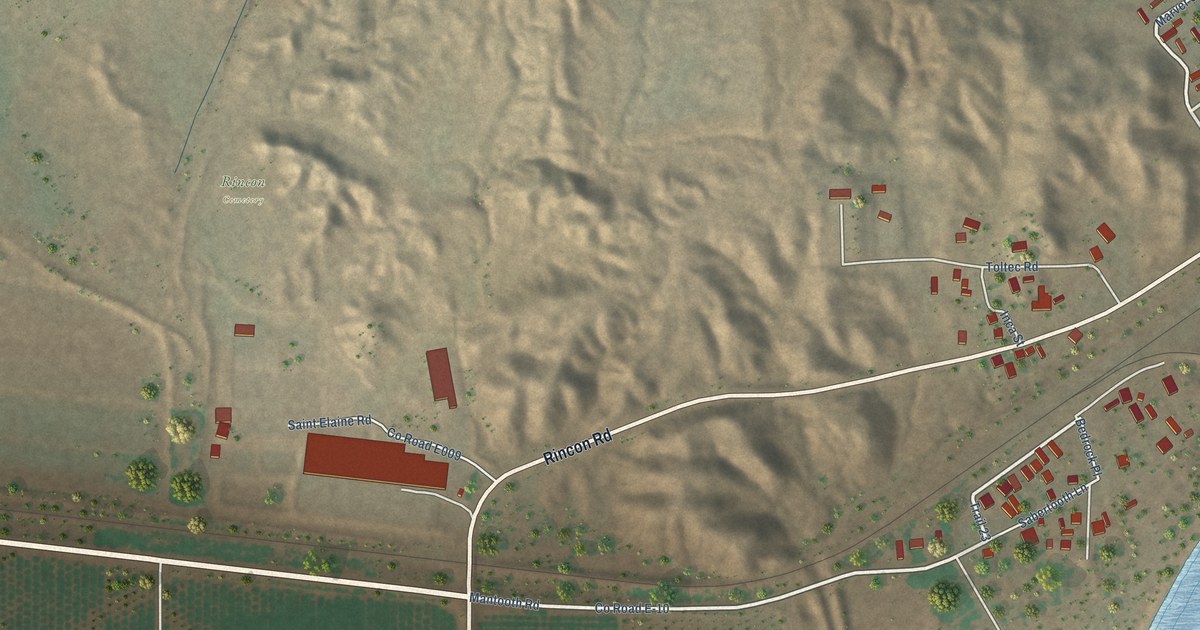
A detailed map of Rincon, New Mexico, showing every building in its true location, the roads by name, and shaded topographical relief.
Read More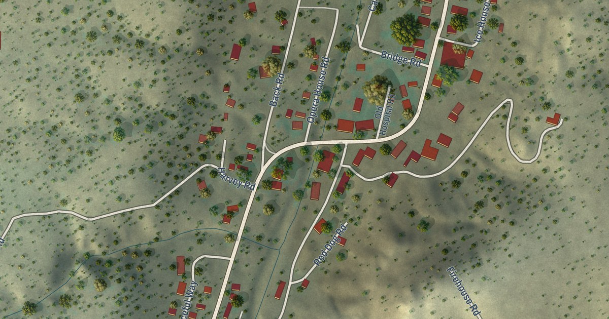
A detailed map of Madrid, New Mexico, showing every building in its true location, the roads by name, and shaded topographical relief.
Read More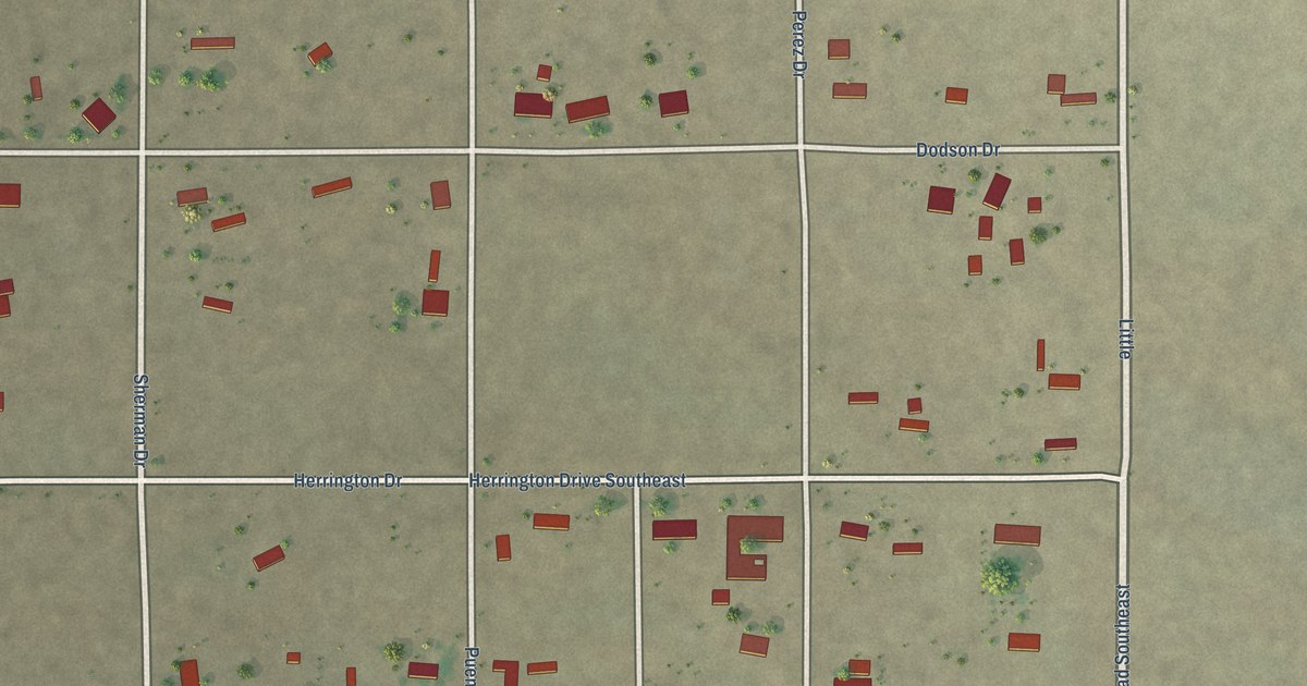
A detailed map of Mountain View, New Mexico, showing every building in its true location, the roads by name, and shaded topographical relief.
Read More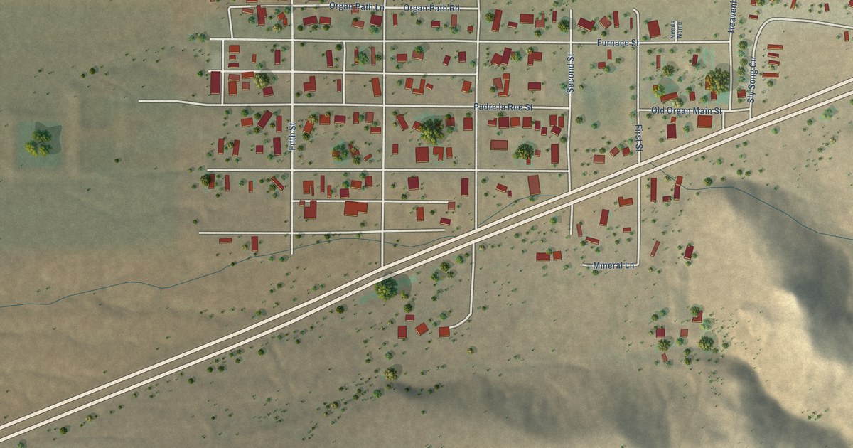
A detailed map of Organ, New Mexico, showing every building in its true location, the roads by name, and shaded topographical relief.
Read More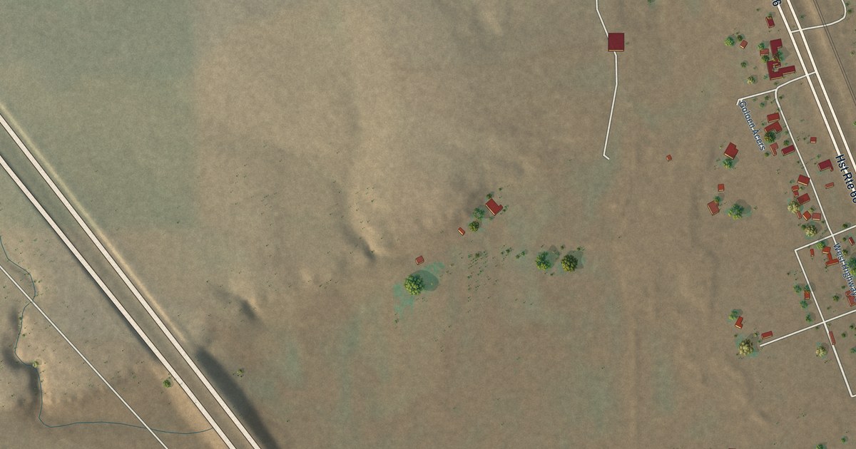
A detailed map of Golden Acres, New Mexico, showing every building in its true location, the roads by name, and shaded topographical relief.
Read More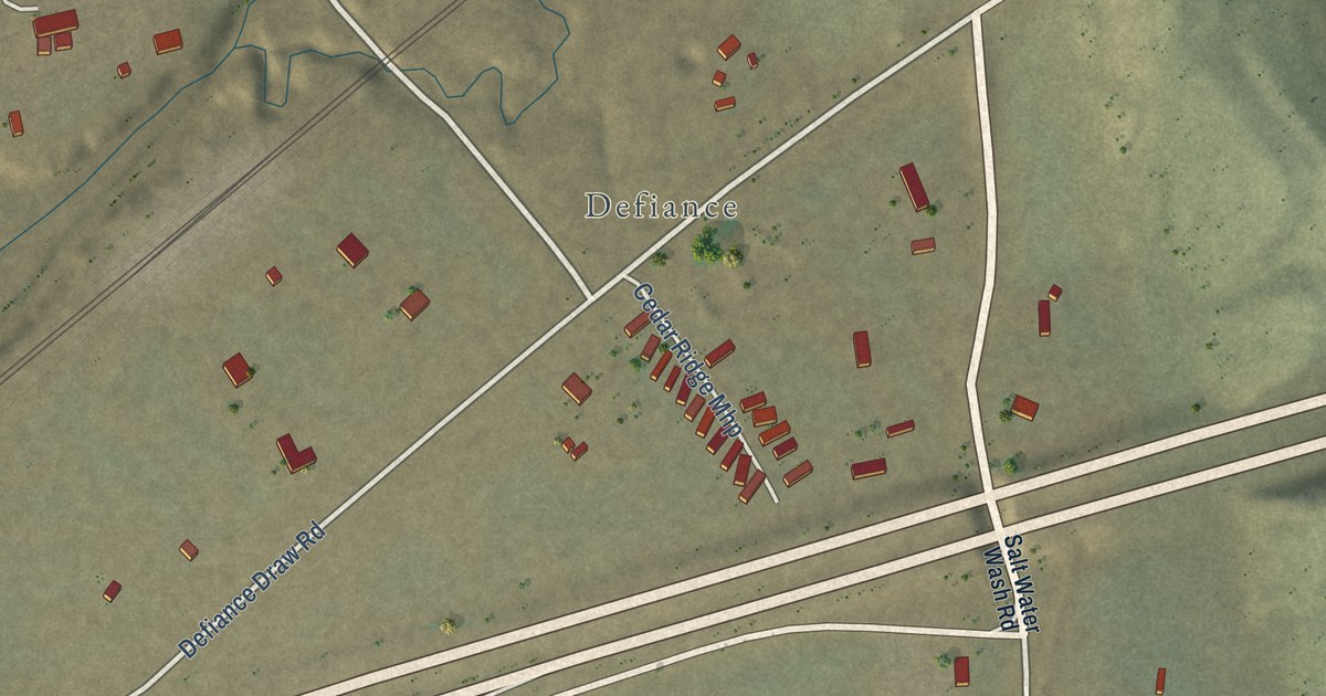
A detailed map of Purty Rock, New Mexico, showing every building in its true location, the roads by name, and shaded topographical relief.
Read More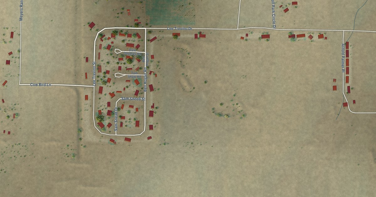
A detailed map of Glen Acres, New Mexico, showing every building in its true location, the roads by name, and shaded topographical relief.
Read More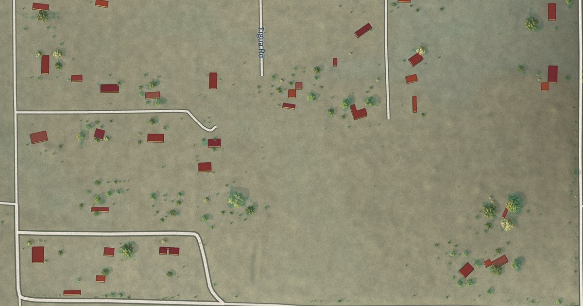
A detailed map of Pulpotio Bareas, New Mexico, showing every building in its true location, the roads by name, and shaded topographical relief.
Read More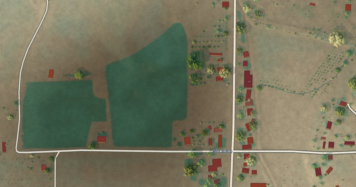
A detailed map of Garfield, New Mexico, showing every building in its true location, the roads by name, and shaded topographical relief.
Read More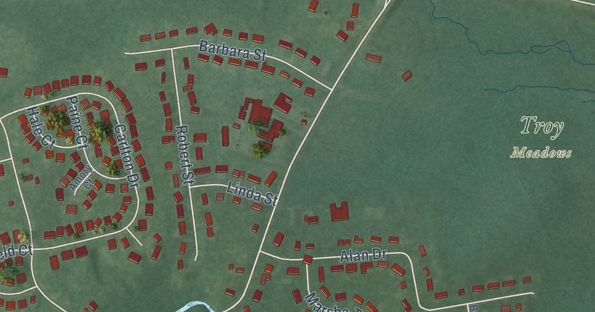
A detailed map of Troy Hills, New Jersey, showing every building in its true location, the roads by name, and shaded topographical relief.
Read More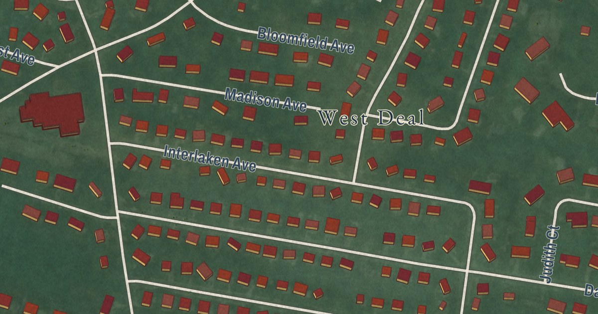
A detailed map of Wanamassa, New Jersey, showing every building in its true location, the roads by name, and shaded topographical relief.
Read More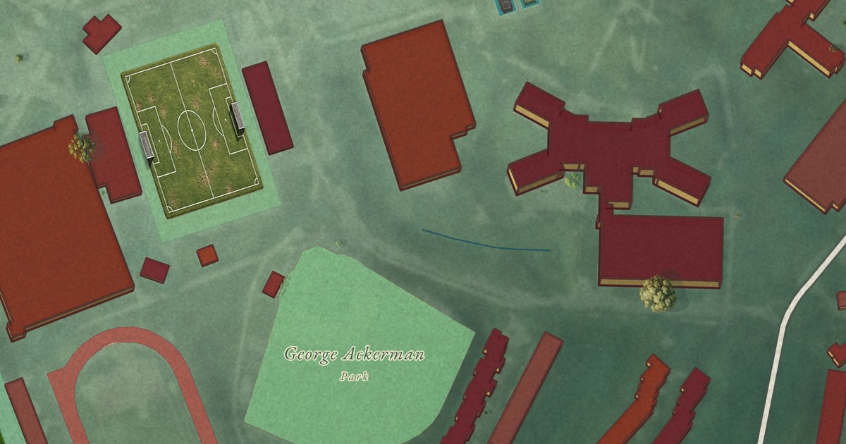
A detailed map of The College of New Jersey, New Jersey, showing every building in its true location, the roads by name, and shaded topographical relief.
Read More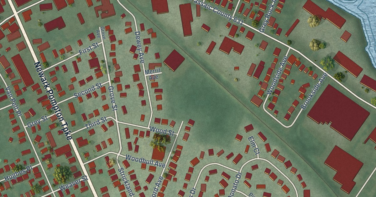
A detailed map of Singac, New Jersey, showing every building in its true location, the roads by name, and shaded topographical relief.
Read More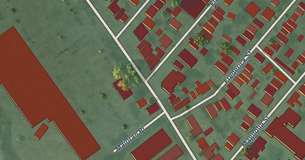
A detailed map of Silver Lake, New Jersey, showing every building in its true location, the roads by name, and shaded topographical relief.
Read More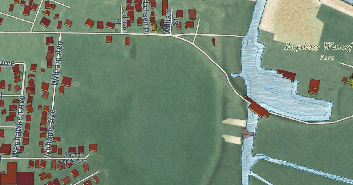
A detailed map of Port Monmouth, New Jersey, showing every building in its true location, the roads by name, and shaded topographical relief.
Read More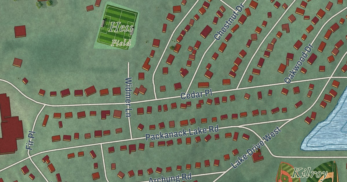
A detailed map of Packanack Lake, New Jersey, showing every building in its true location, the roads by name, and shaded topographical relief.
Read More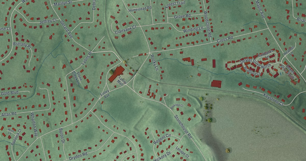
A detailed map of Lyons, New Jersey, showing every building in its true location, the roads by name, and shaded topographical relief.
Read More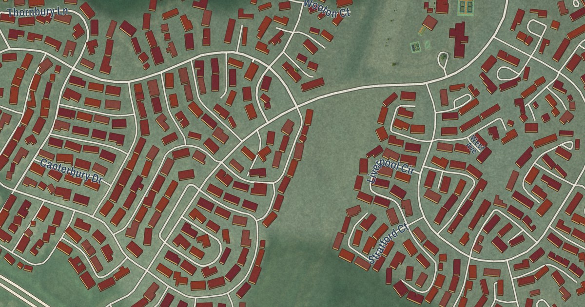
A detailed map of Leisure Village West, New Jersey, showing every building in its true location, the roads by name, and shaded topographical relief.
Read More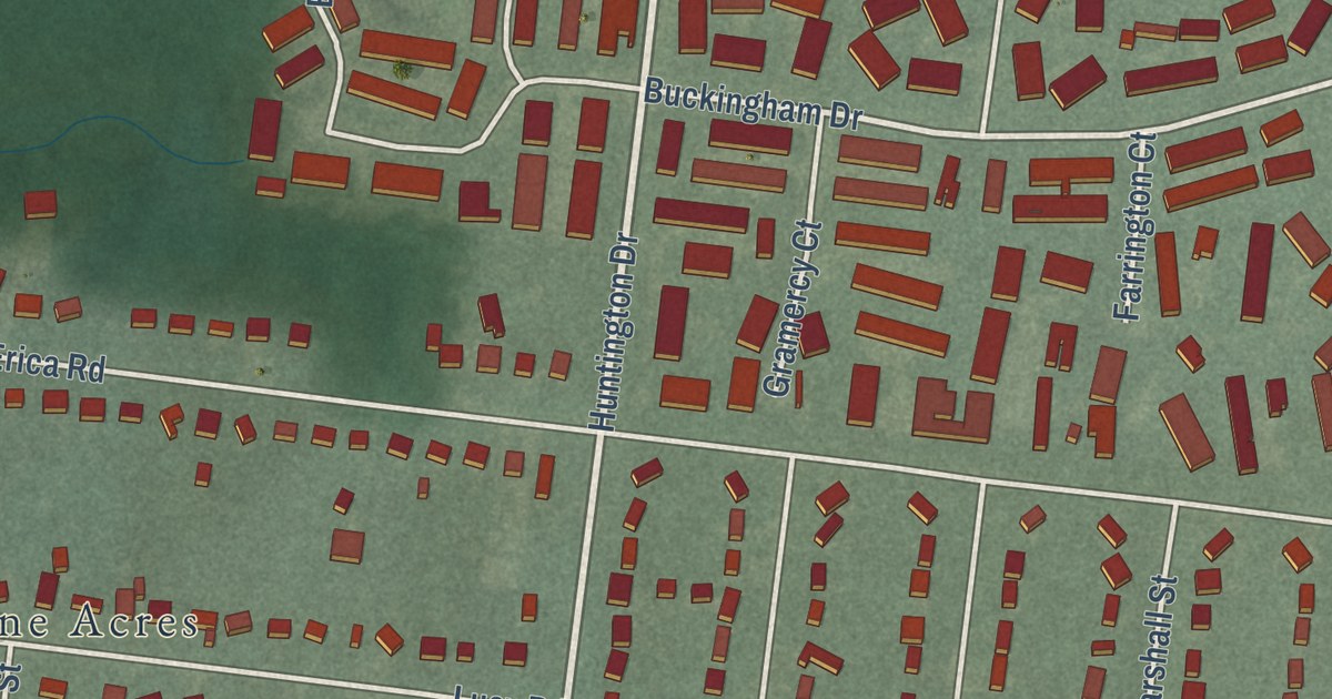
A detailed map of Leisure Village, New Jersey, showing every building in its true location, the roads by name, and shaded topographical relief.
Read More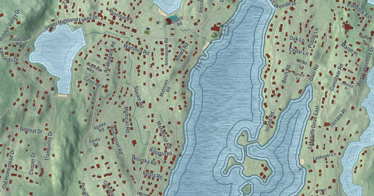
A detailed map of Highland Lakes, New Jersey, showing every building in its true location, the roads by name, and shaded topographical relief.
Read More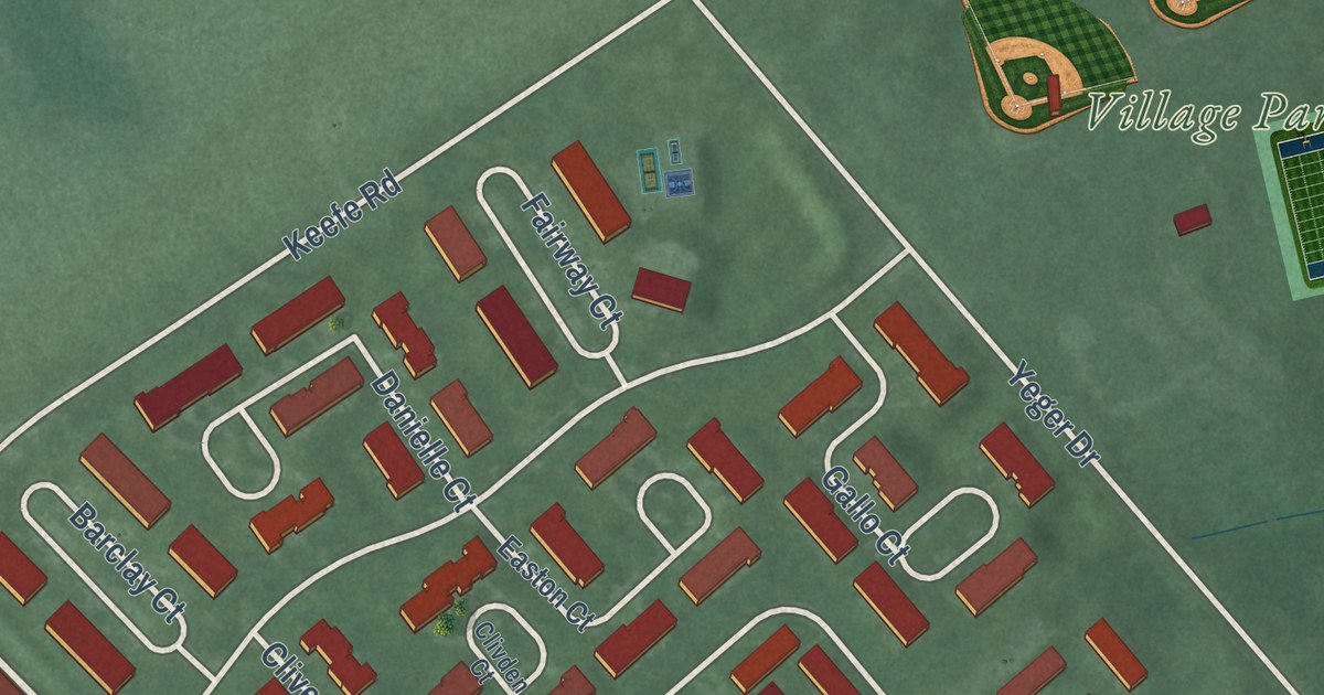
A detailed map of Lawrenceville, New Jersey, showing every building in its true location, the roads by name, and shaded topographical relief.
Read More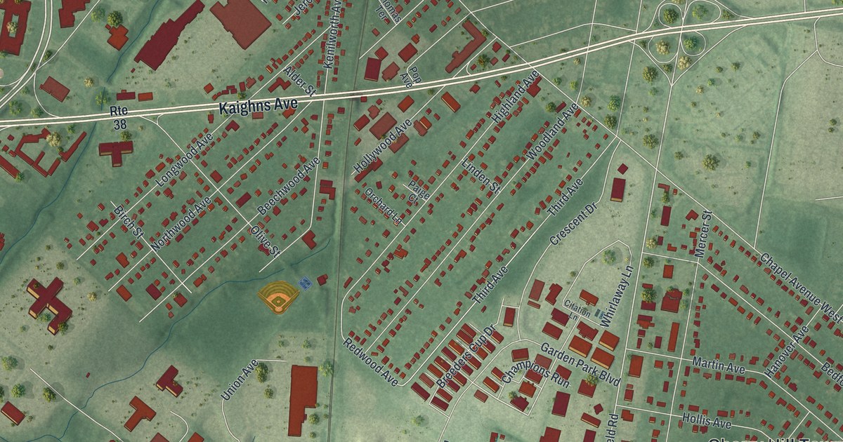
A detailed map of Golden Triangle, New Jersey, showing every building in its true location, the roads by name, and shaded topographical relief.
Read More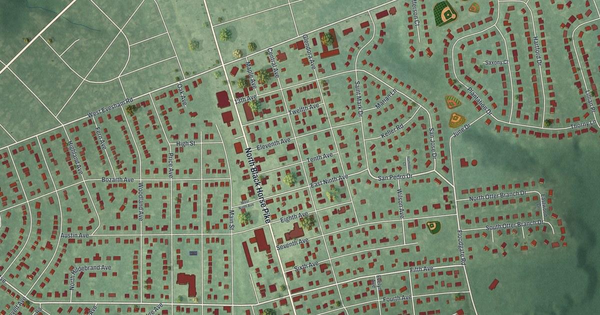
A detailed map of Glendora, New Jersey, showing every building in its true location, the roads by name, and shaded topographical relief.
Read More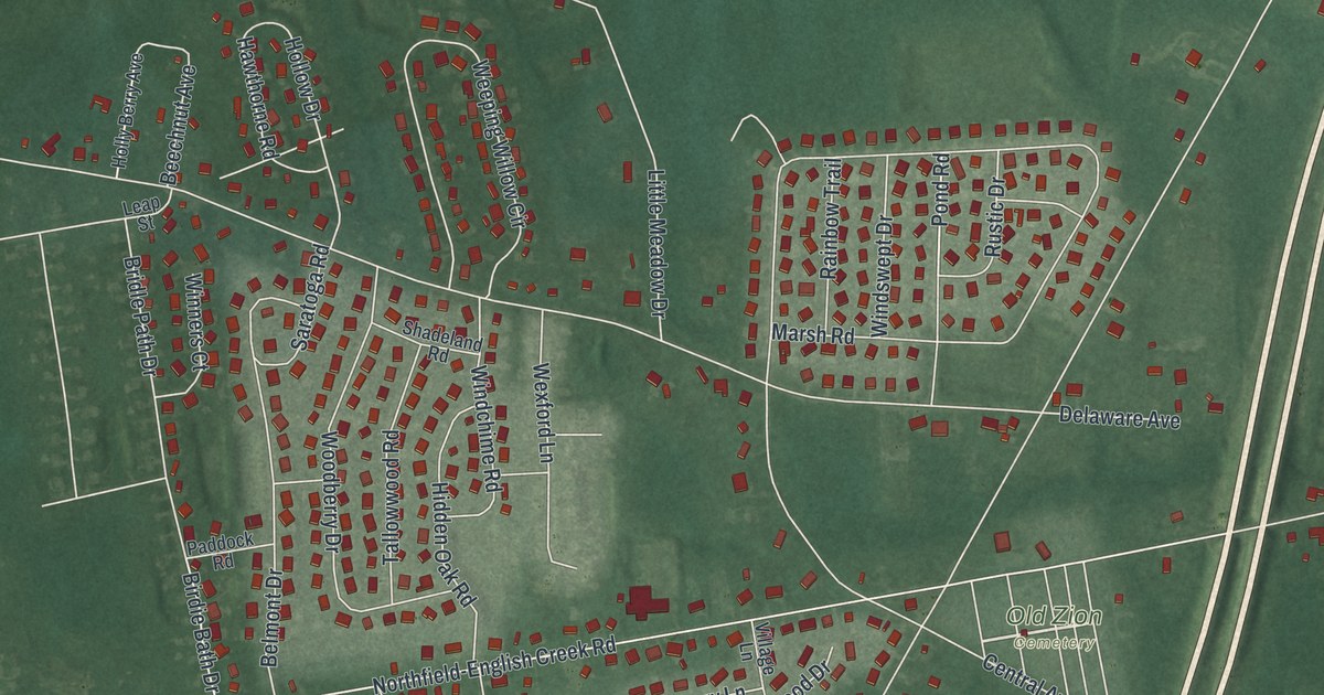
A detailed map of Bargaintown, New Jersey, showing every building in its true location, the roads by name, and shaded topographical relief.
Read More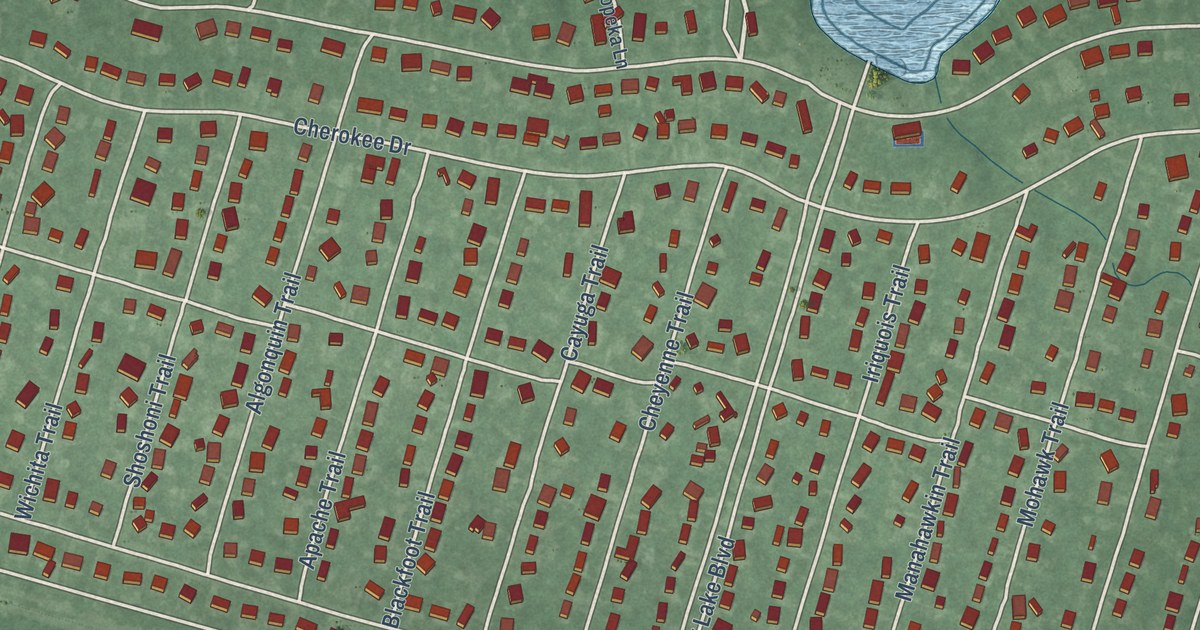
A detailed map of Country Lake Estates, New Jersey, showing every building in its true location, the roads by name, and shaded topographical relief.
Read More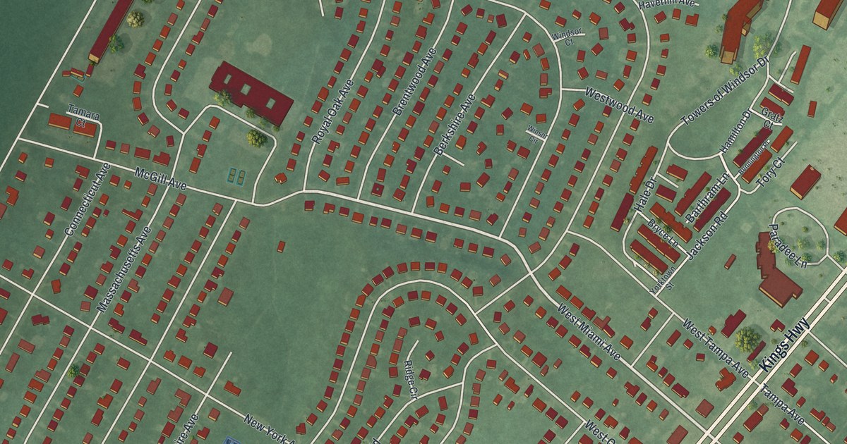
A detailed map of Ellisburg, New Jersey, showing every building in its true location, the roads by name, and shaded topographical relief.
Read More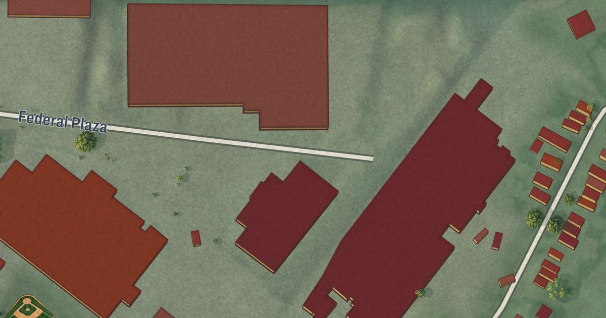
A detailed map of Ampere North, New Jersey, showing every building in its true location, the roads by name, and shaded topographical relief.
Read More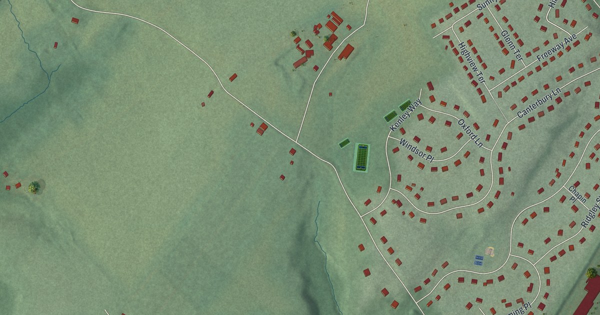
A detailed map of Beattystown, New Jersey, showing every building in its true location, the roads by name, and shaded topographical relief.
Read More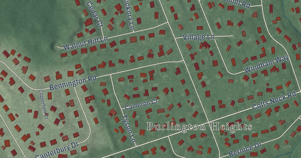
A detailed map of East Freehold, New Jersey, showing every building in its true location, the roads by name, and shaded topographical relief.
Read More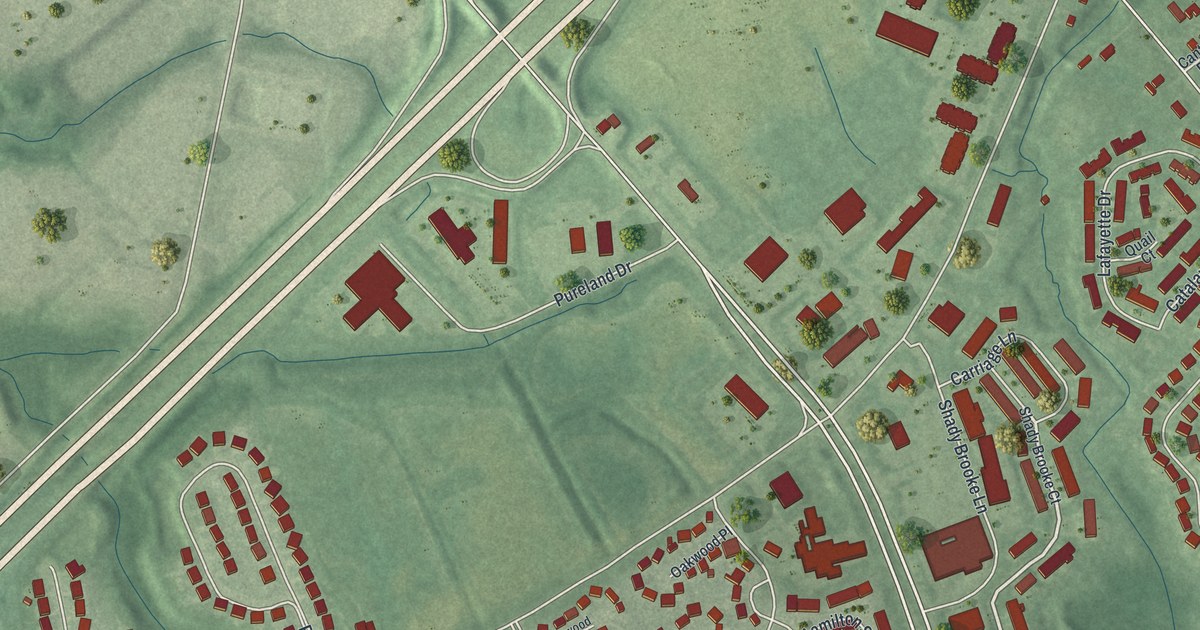
A detailed map of Beckett, New Jersey, showing every building in its true location, the roads by name, and shaded topographical relief.
Read More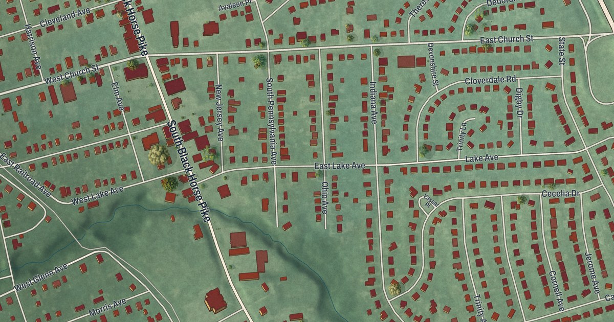
A detailed map of Blackwood, New Jersey, showing every building in its true location, the roads by name, and shaded topographical relief.
Read More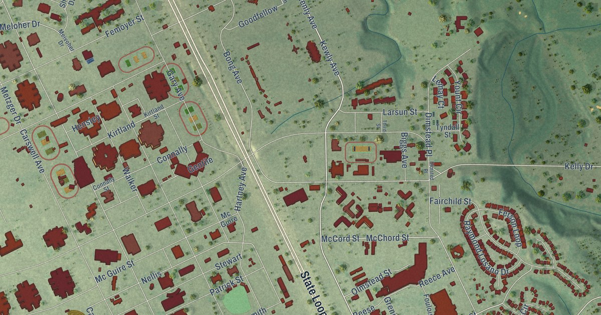
A detailed map of Lackland AFB, Texas, showing every building in its true location, the roads by name, and shaded topographical relief.
Read More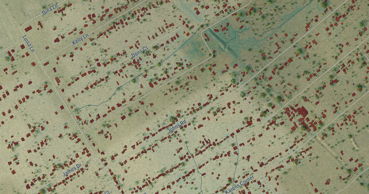
A detailed map of The Homesteads, Texas, showing every building in its true location, the roads by name, and shaded topographical relief.
Read More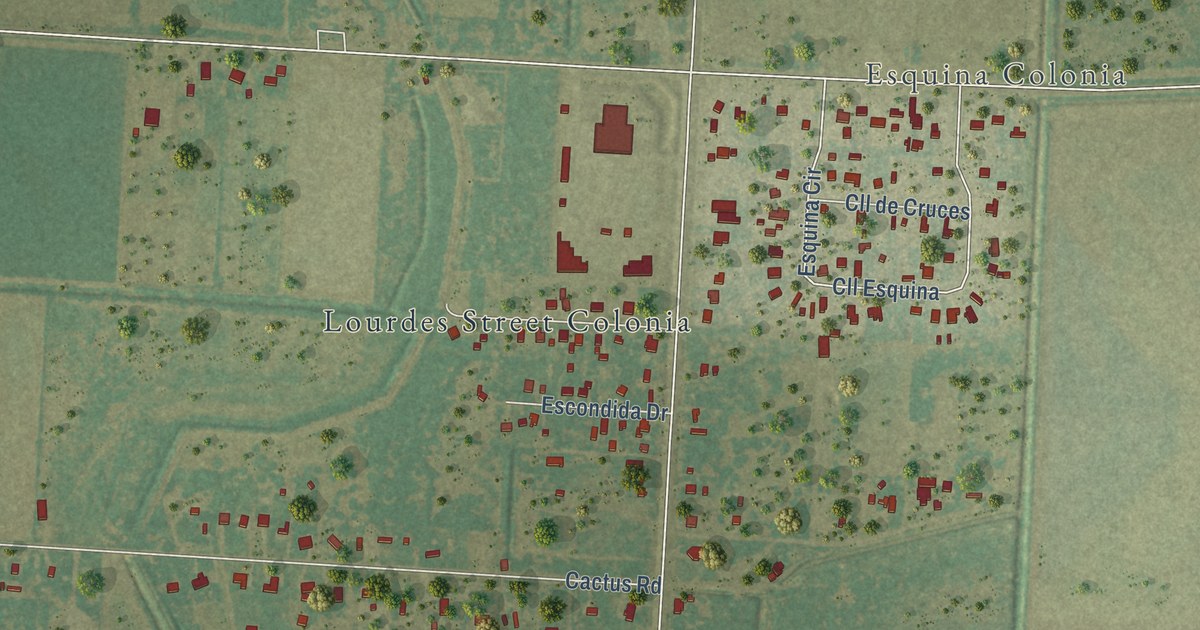
A detailed map of Laureles, Texas, showing every building in its true location, the roads by name, and shaded topographical relief.
Read More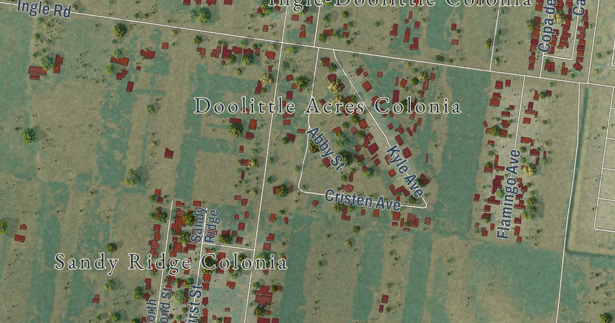
A detailed map of Doolittle, Texas, showing every building in its true location, the roads by name, and shaded topographical relief.
Read More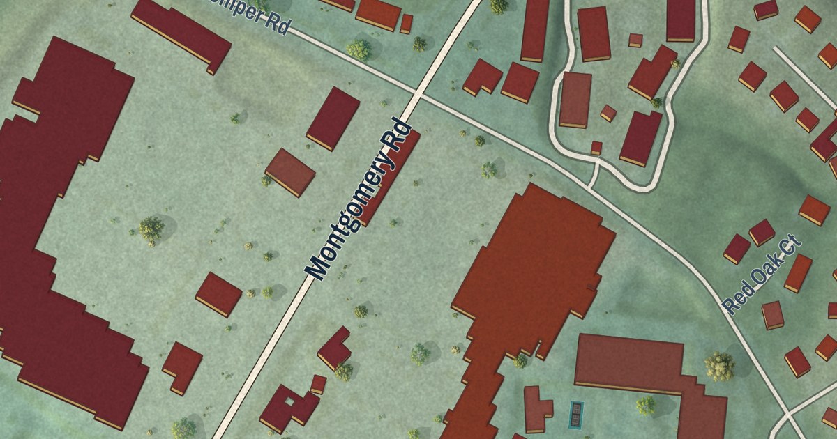
A detailed map of Sixteen Mile Stand, Ohio, showing every building in its true location, the roads by name, and shaded topographical relief.
Read More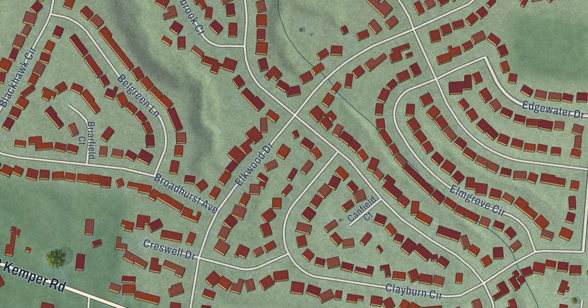
A detailed map of Pleasant Run Farm, Ohio, showing every building in its true location, the roads by name, and shaded topographical relief.
Read More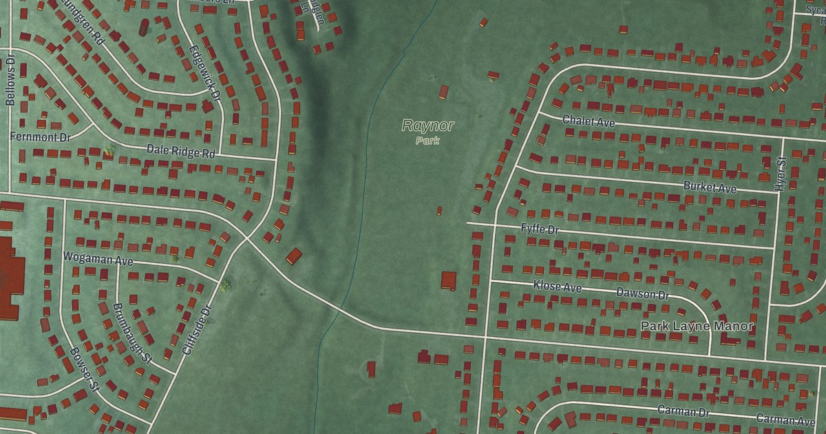
A detailed map of Park Layne, Ohio, showing every building in its true location, the roads by name, and shaded topographical relief.
Read More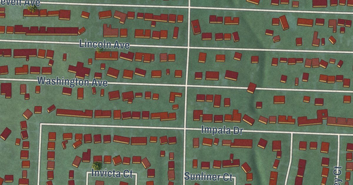
A detailed map of Mount Healthy Heights, Ohio, showing every building in its true location, the roads by name, and shaded topographical relief.
Read More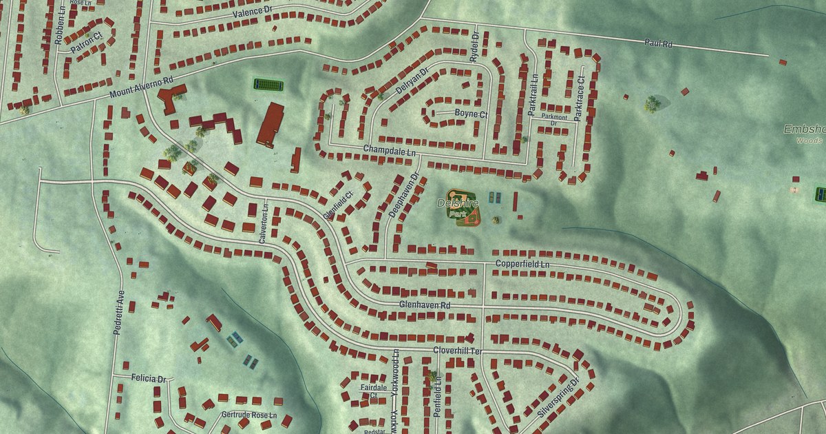
A detailed map of Delshire, Ohio, showing every building in its true location, the roads by name, and shaded topographical relief.
Read More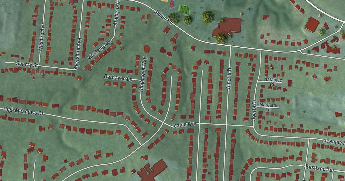
A detailed map of Fruit Hill, Ohio, showing every building in its true location, the roads by name, and shaded topographical relief.
Read More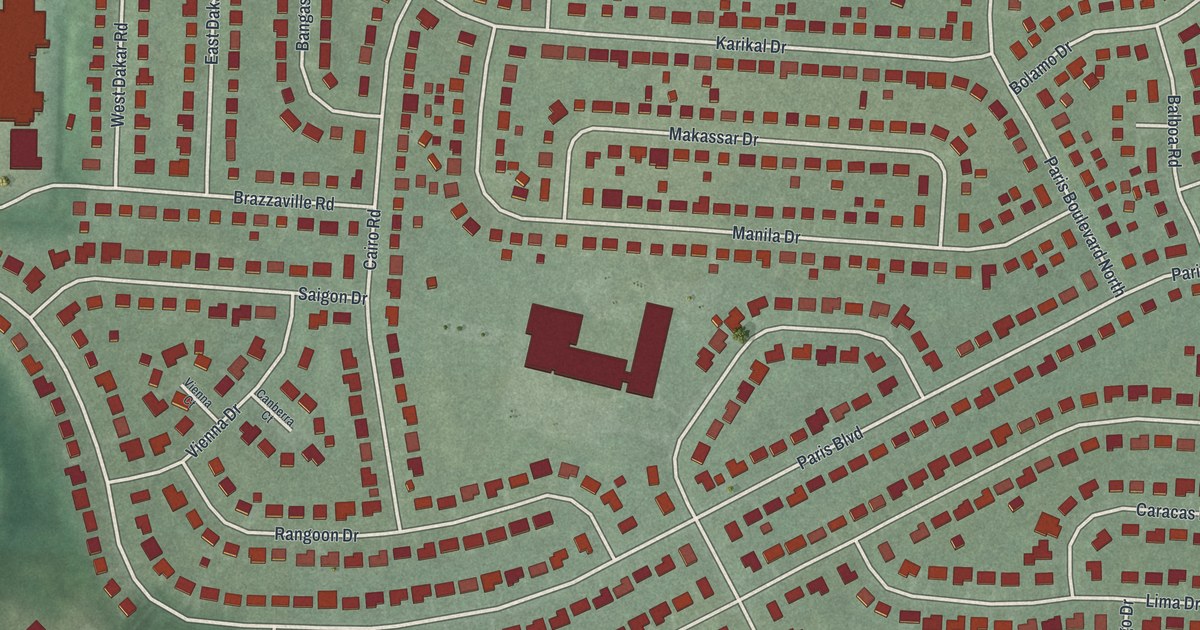
A detailed map of Huber Ridge, Ohio, showing every building in its true location, the roads by name, and shaded topographical relief.
Read More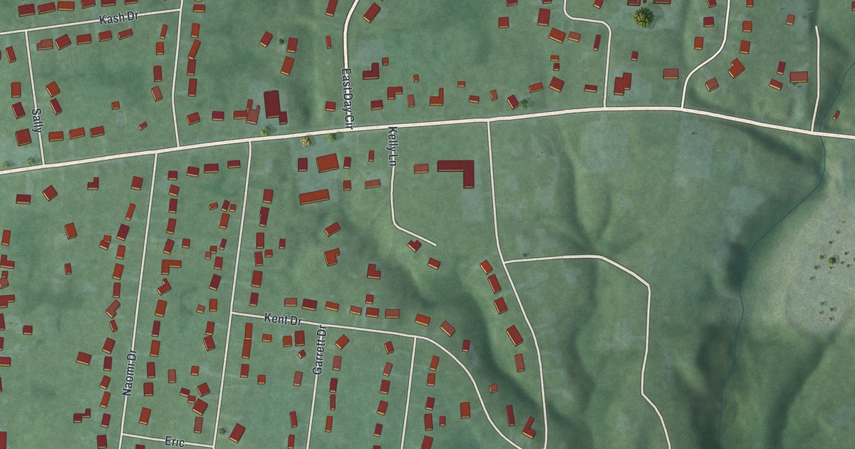
A detailed map of Day Heights, Ohio, showing every building in its true location, the roads by name, and shaded topographical relief.
Read More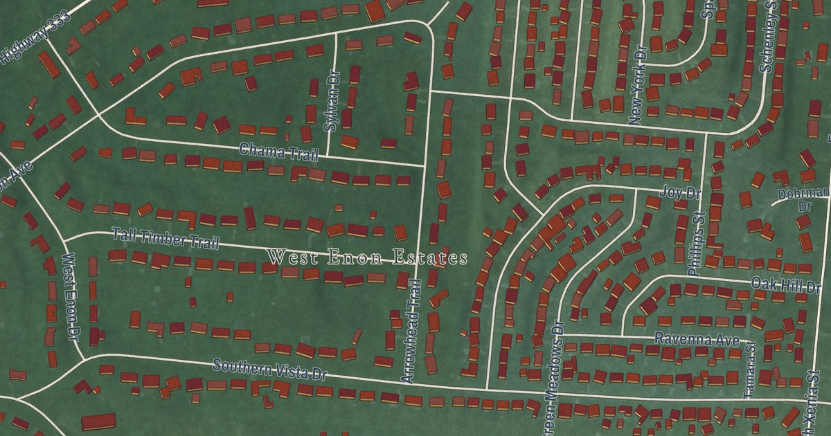
A detailed map of Green Meadows, Ohio, showing every building in its true location, the roads by name, and shaded topographical relief.
Read More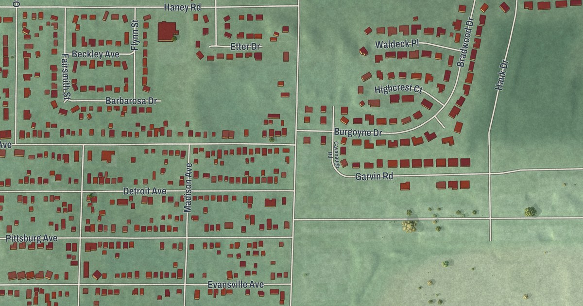
A detailed map of Fort McKinley, Ohio, showing every building in its true location, the roads by name, and shaded topographical relief.
Read More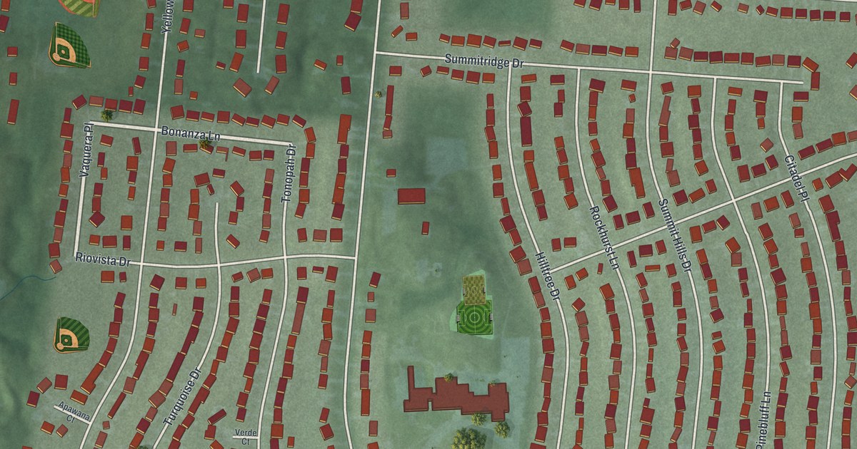
A detailed map of Cherry Grove, Ohio, showing every building in its true location, the roads by name, and shaded topographical relief.
Read More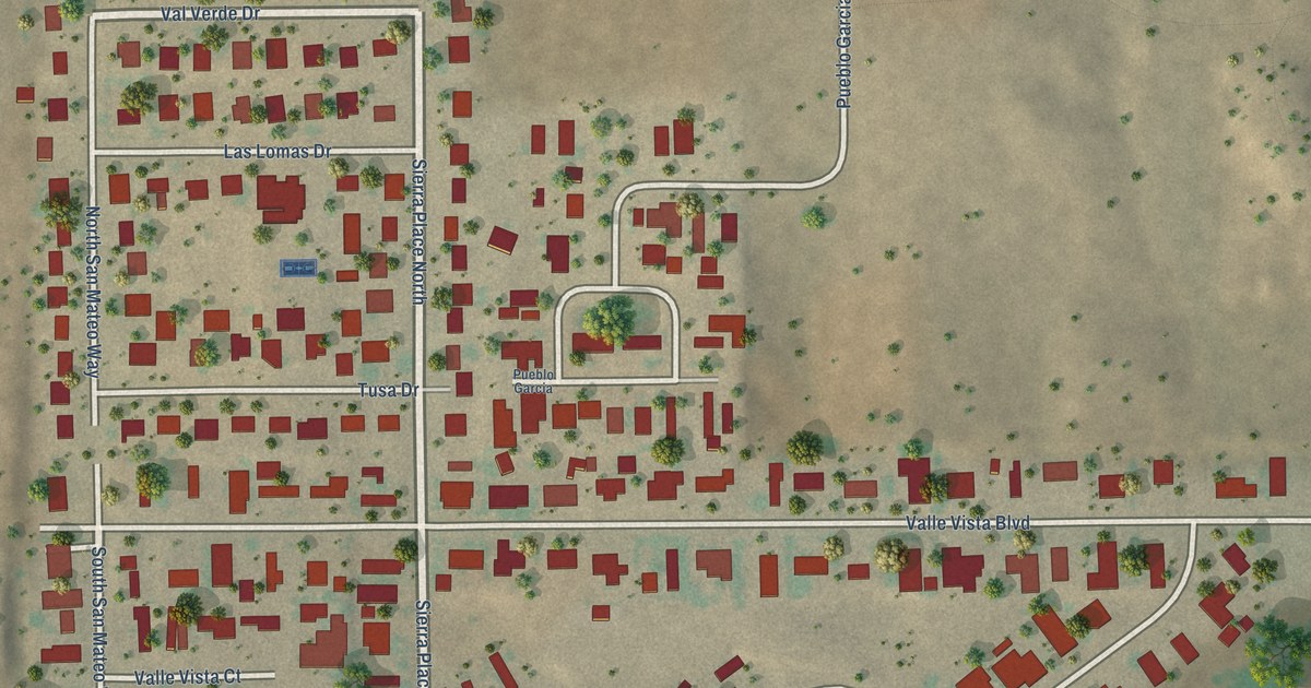
A detailed map of Valle Vista, New Mexico, showing every building in its true location, the roads by name, and shaded topographical relief.
Read More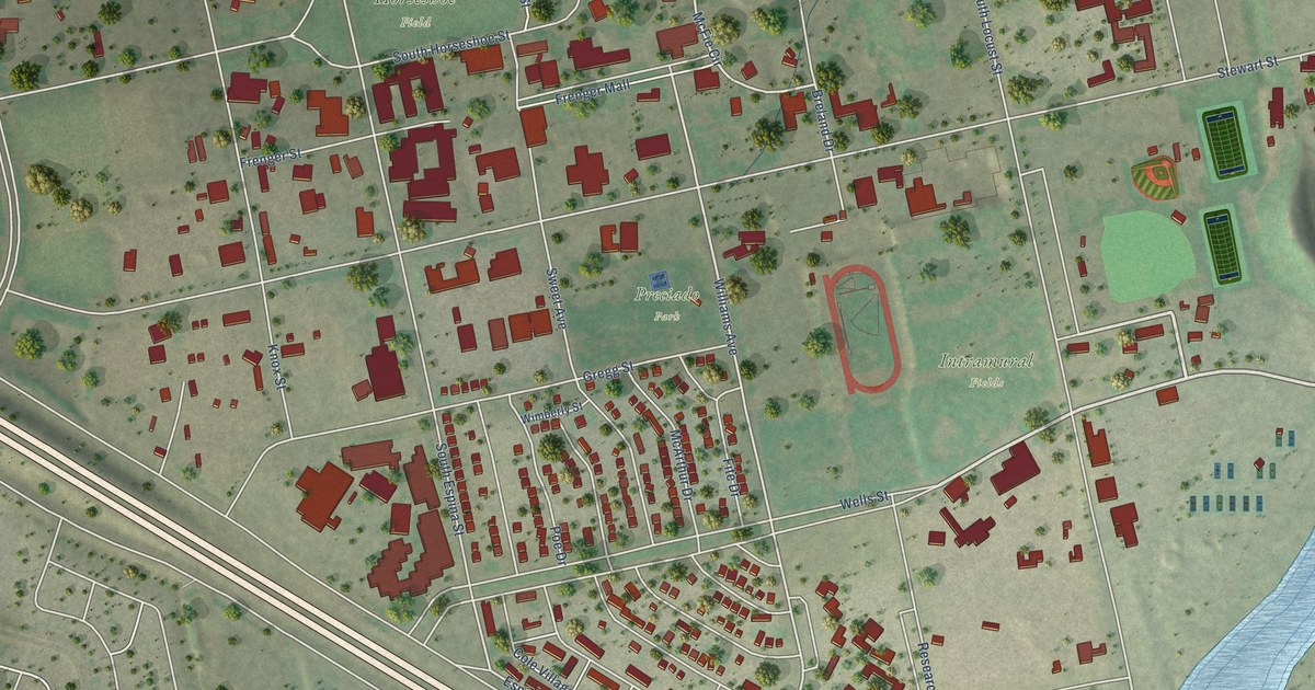
A detailed map of University Park, New Mexico, showing every building in its true location, the roads by name, and shaded topographical relief.
Read More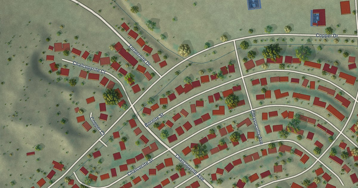
A detailed map of Tyrone, New Mexico, showing every building in its true location, the roads by name, and shaded topographical relief.
Read More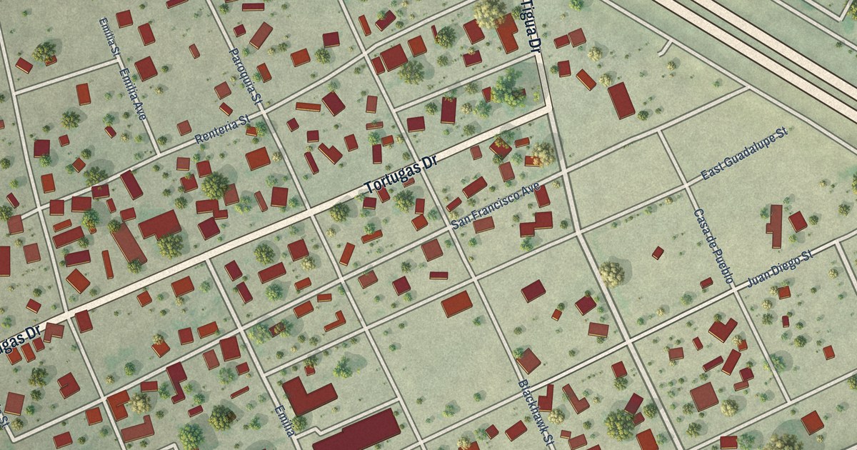
A detailed map of Tortugas, New Mexico, showing every building in its true location, the roads by name, and shaded topographical relief.
Read More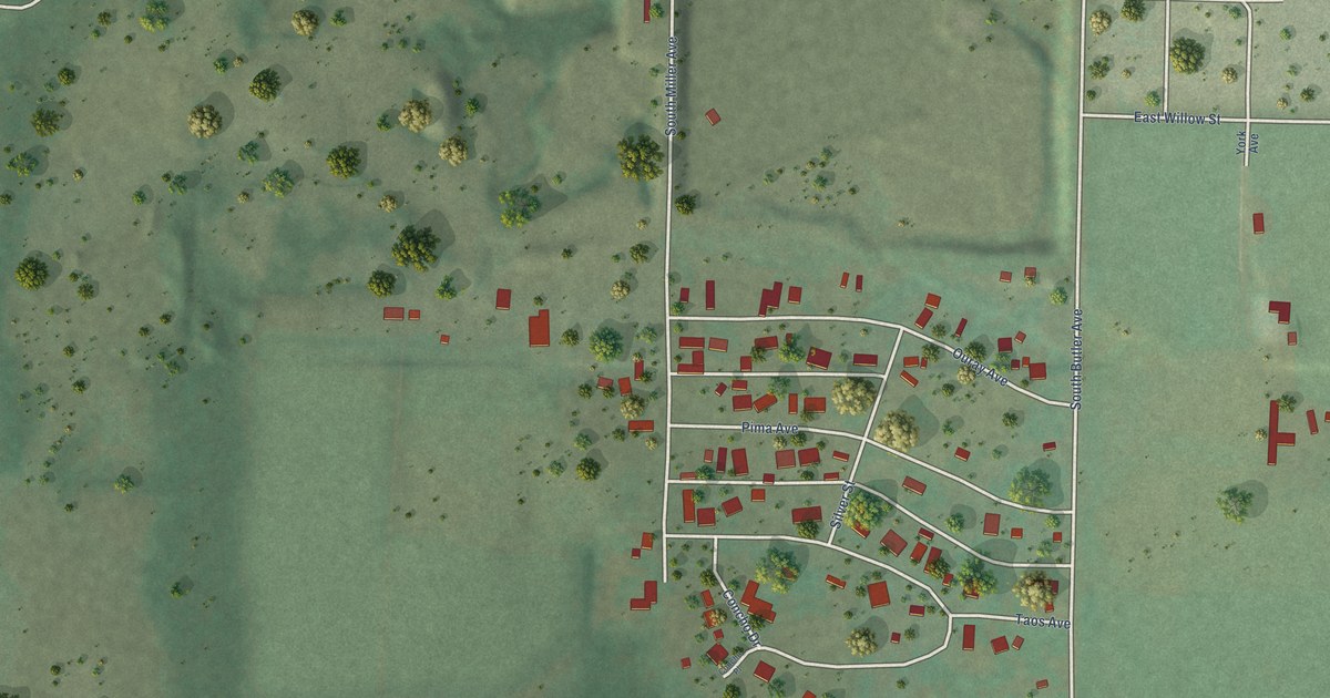
A detailed map of Totah Vista, New Mexico, showing every building in its true location, the roads by name, and shaded topographical relief.
Read More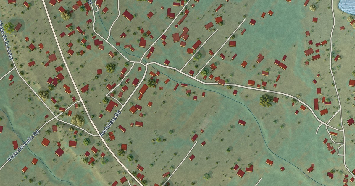
A detailed map of Talpa, New Mexico, showing every building in its true location, the roads by name, and shaded topographical relief.
Read More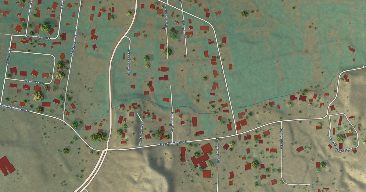
A detailed map of Sombrillo, New Mexico, showing every building in its true location, the roads by name, and shaded topographical relief.
Read More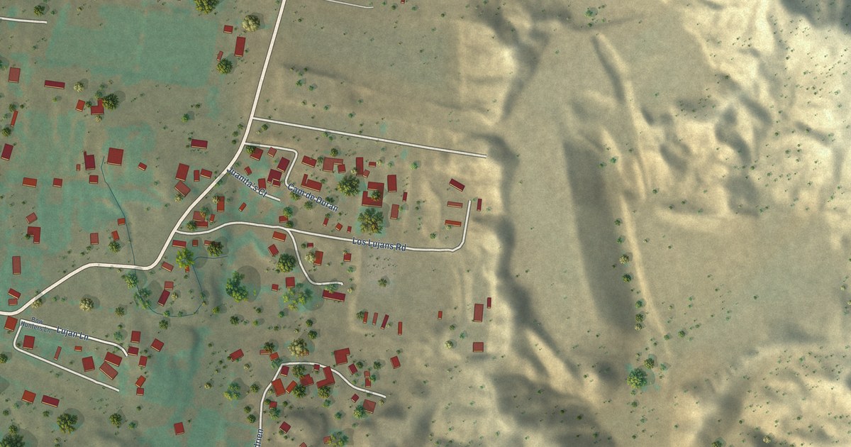
A detailed map of Santa Cruz, New Mexico, showing every building in its true location, the roads by name, and shaded topographical relief.
Read More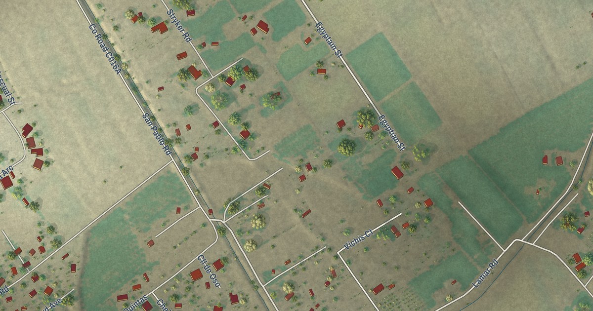
A detailed map of San Pablo, New Mexico, showing every building in its true location, the roads by name, and shaded topographical relief.
Read More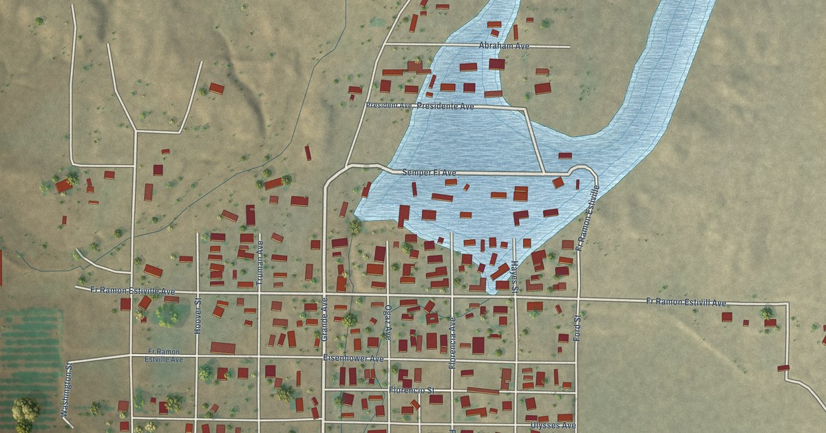
A detailed map of Salem, New Mexico, showing every building in its true location, the roads by name, and shaded topographical relief.
Read More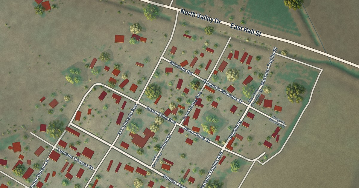
A detailed map of Rodey, New Mexico, showing every building in its true location, the roads by name, and shaded topographical relief.
Read More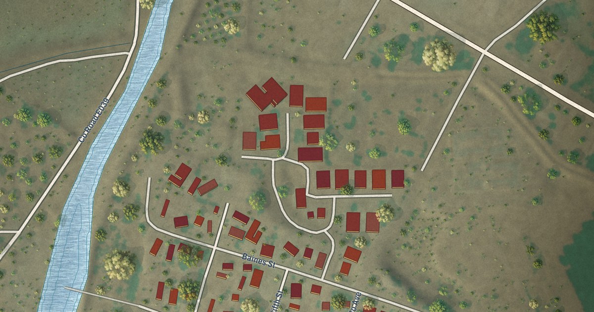
A detailed map of Placitas, New Mexico, showing every building in its true location, the roads by name, and shaded topographical relief.
Read More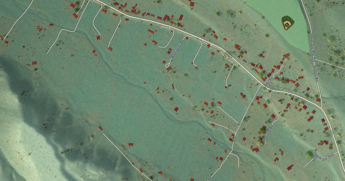
A detailed map of Rio Lucio, New Mexico, showing every building in its true location, the roads by name, and shaded topographical relief.
Read More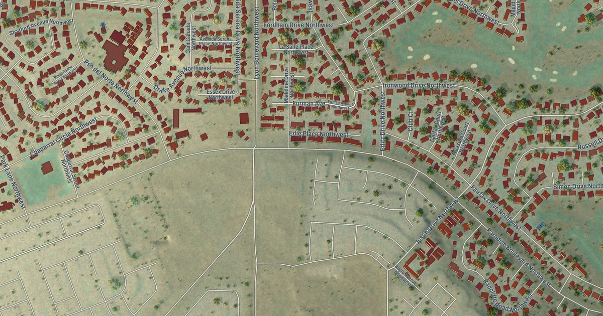
A detailed map of Paradise Hills, New Mexico, showing every building in its true location, the roads by name, and shaded topographical relief.
Read More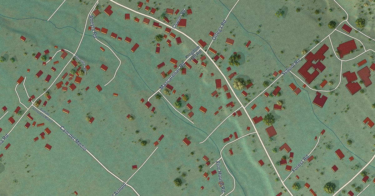
A detailed map of Peñasco, New Mexico, showing every building in its true location, the roads by name, and shaded topographical relief.
Read More















