Detailed Map of Pueblo of Sandia Village, New Mexico
A detailed map of Pueblo of Sandia Village, New Mexico, showing every building in its true location, the roads by name, and shaded topographical relief.
Read More
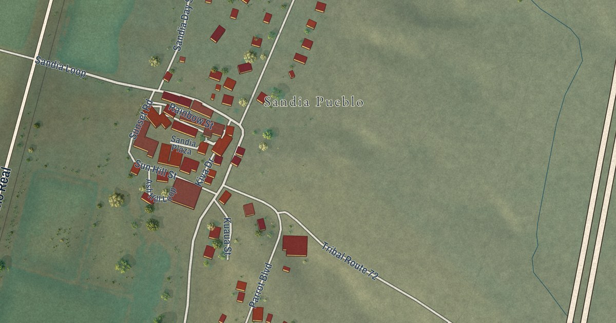
A detailed map of Pueblo of Sandia Village, New Mexico, showing every building in its true location, the roads by name, and shaded topographical relief.
Read More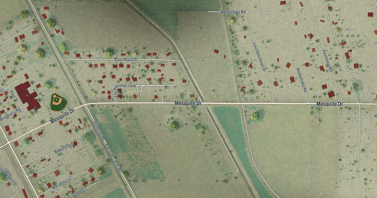
A detailed map of Mesquite, New Mexico, showing every building in its true location, the roads by name, and shaded topographical relief.
Read More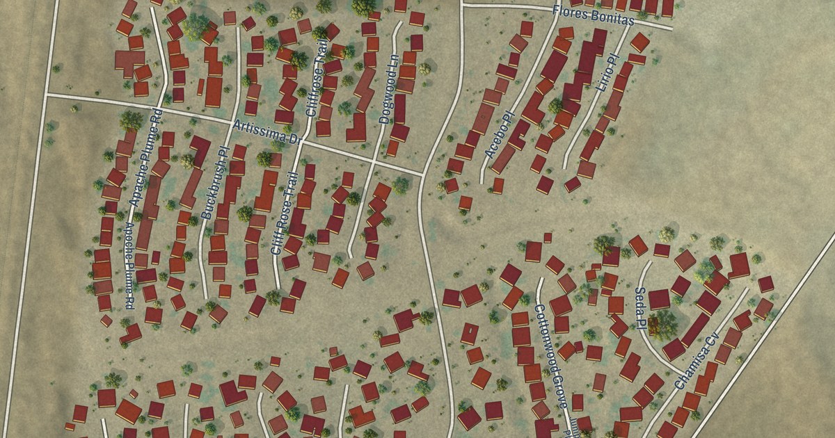
A detailed map of Las Maravillas, New Mexico, showing every building in its true location, the roads by name, and shaded topographical relief.
Read More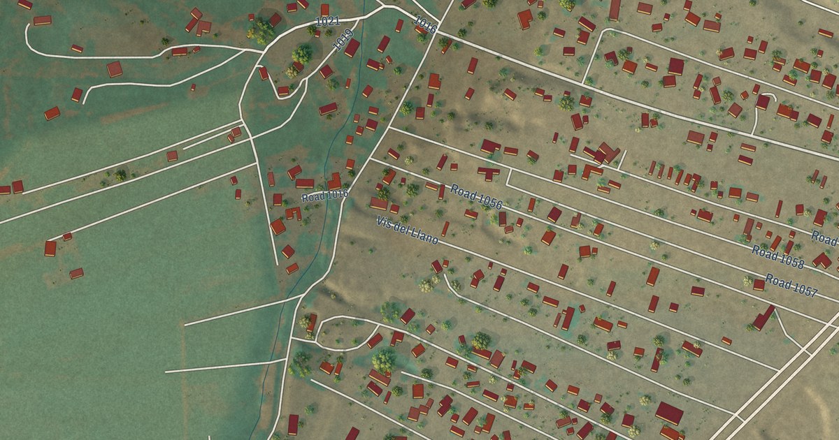
A detailed map of La Villita, New Mexico, showing every building in its true location, the roads by name, and shaded topographical relief.
Read More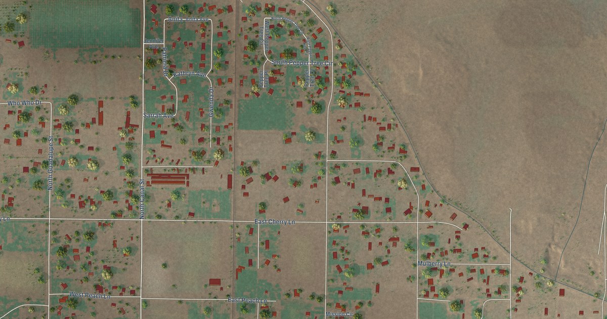
A detailed map of La Huerta, New Mexico, showing every building in its true location, the roads by name, and shaded topographical relief.
Read More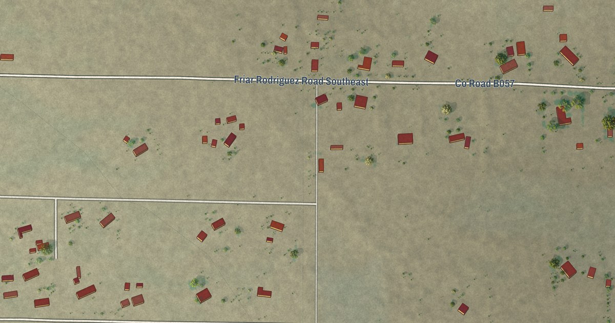
A detailed map of La Hacienda, New Mexico, showing every building in its true location, the roads by name, and shaded topographical relief.
Read More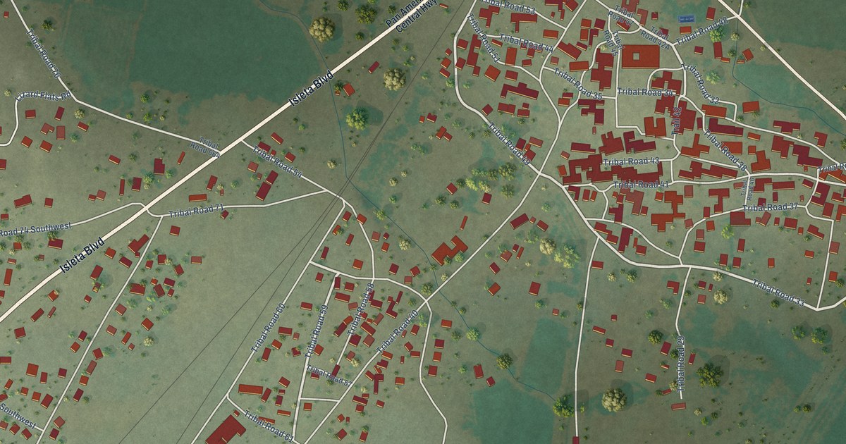
A detailed map of Isleta, New Mexico, showing every building in its true location, the roads by name, and shaded topographical relief.
Read More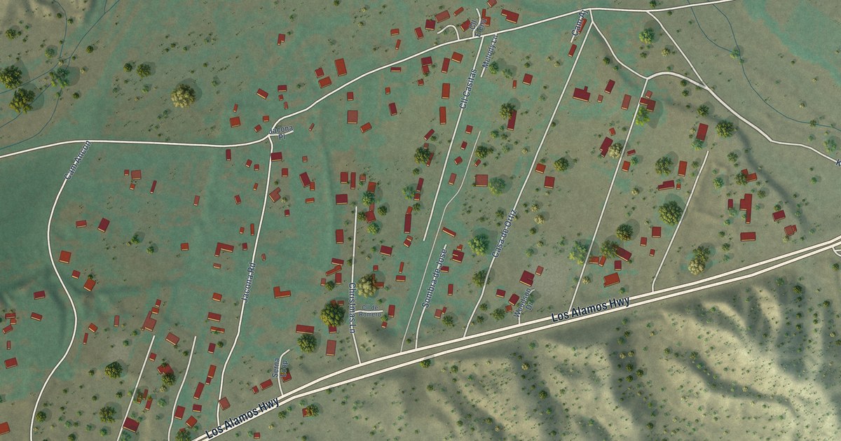
A detailed map of Jacona, New Mexico, showing every building in its true location, the roads by name, and shaded topographical relief.
Read More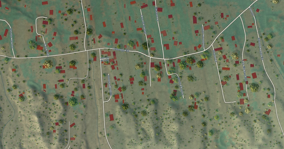
A detailed map of Jaconita, New Mexico, showing every building in its true location, the roads by name, and shaded topographical relief.
Read More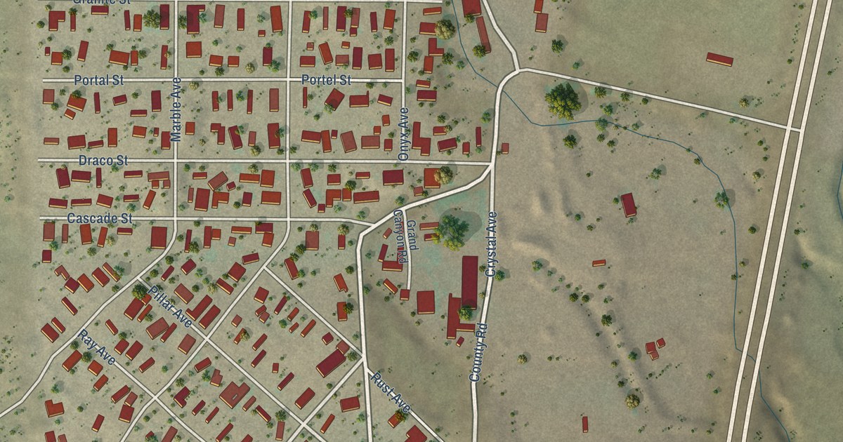
A detailed map of Gamerco, New Mexico, showing every building in its true location, the roads by name, and shaded topographical relief.
Read More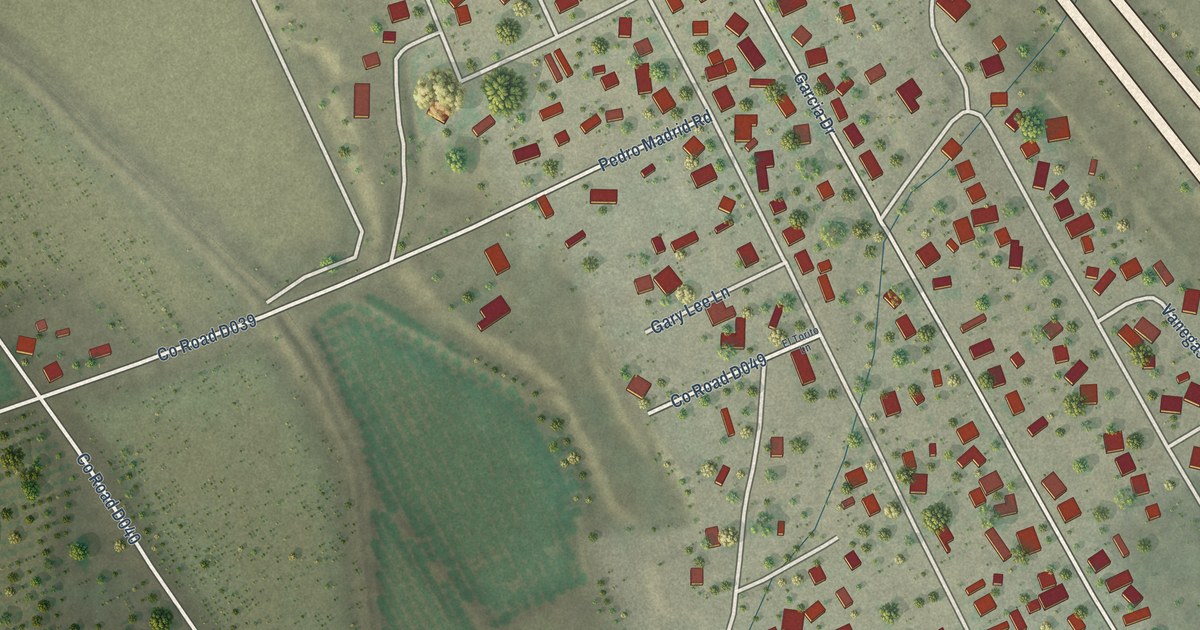
A detailed map of Doña Ana, New Mexico, showing every building in its true location, the roads by name, and shaded topographical relief.
Read More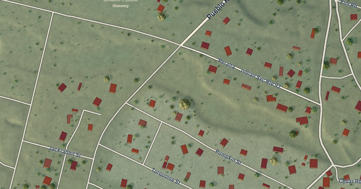
A detailed map of Cochiti, New Mexico, showing every building in its true location, the roads by name, and shaded topographical relief.
Read More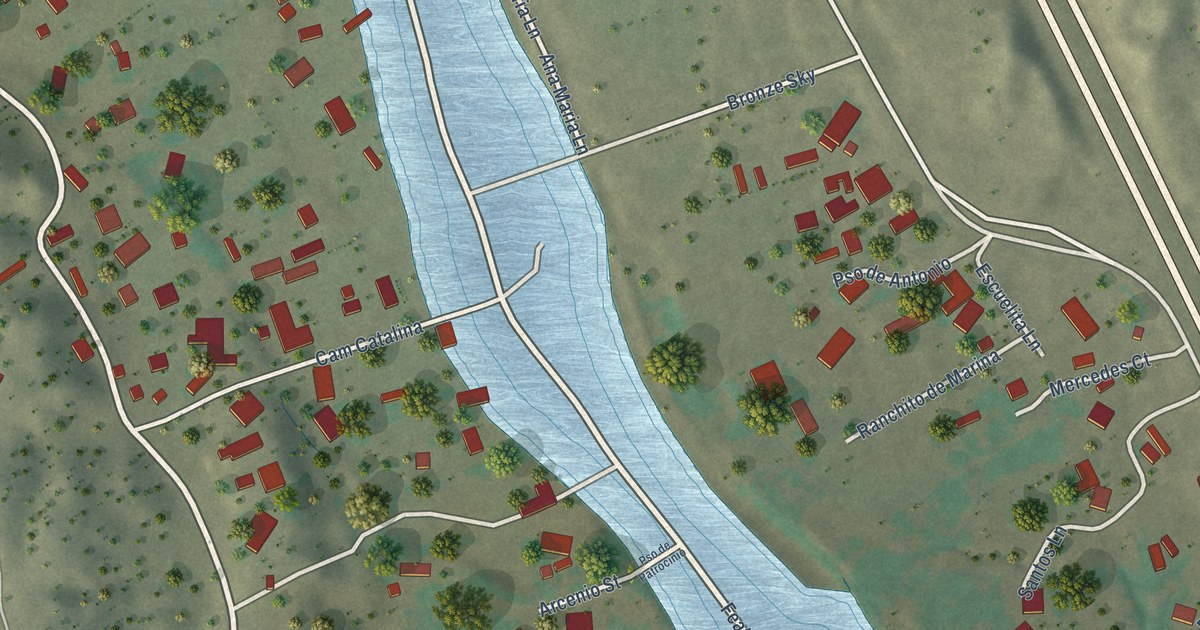
A detailed map of Cuyamungue, New Mexico, showing every building in its true location, the roads by name, and shaded topographical relief.
Read More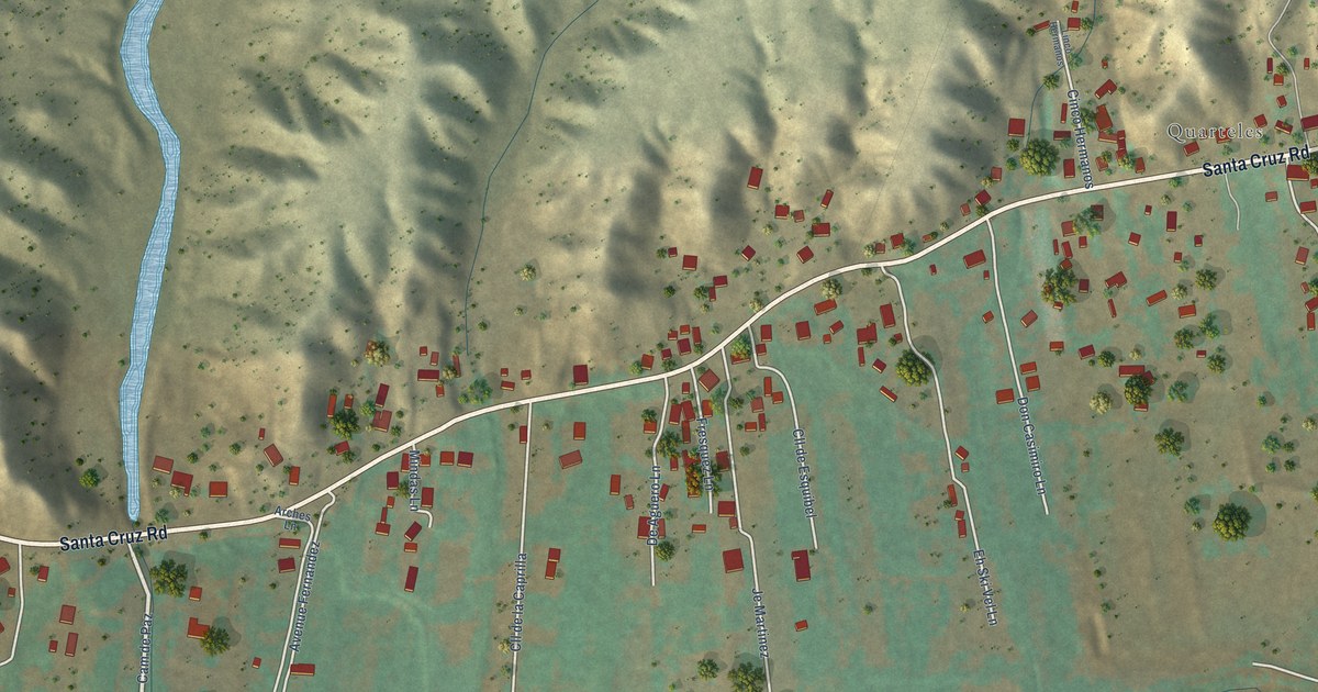
A detailed map of Cuartelez, New Mexico, showing every building in its true location, the roads by name, and shaded topographical relief.
Read More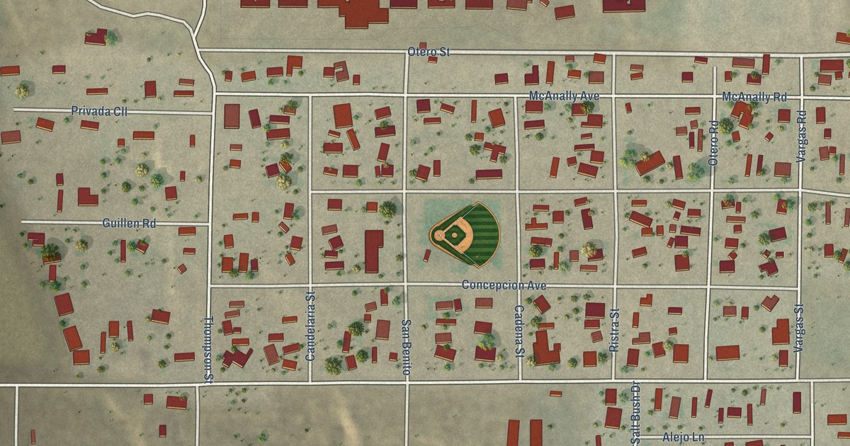
A detailed map of Berino, New Mexico, showing every building in its true location, the roads by name, and shaded topographical relief.
Read More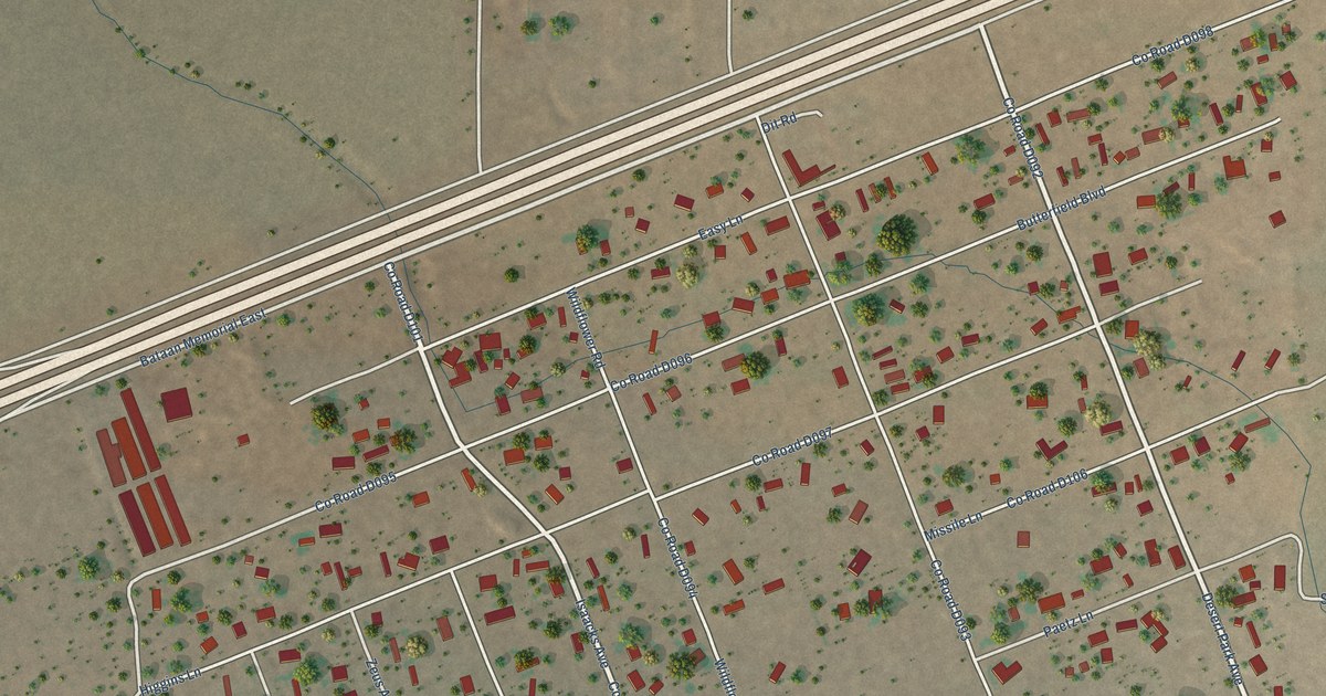
A detailed map of Butterfield Park, New Mexico, showing every building in its true location, the roads by name, and shaded topographical relief.
Read More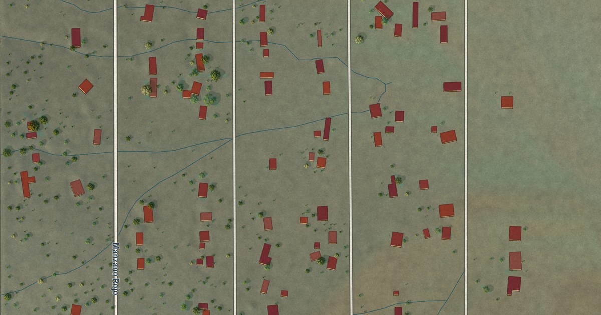
A detailed map of Casas Adobes, New Mexico, showing every building in its true location, the roads by name, and shaded topographical relief.
Read More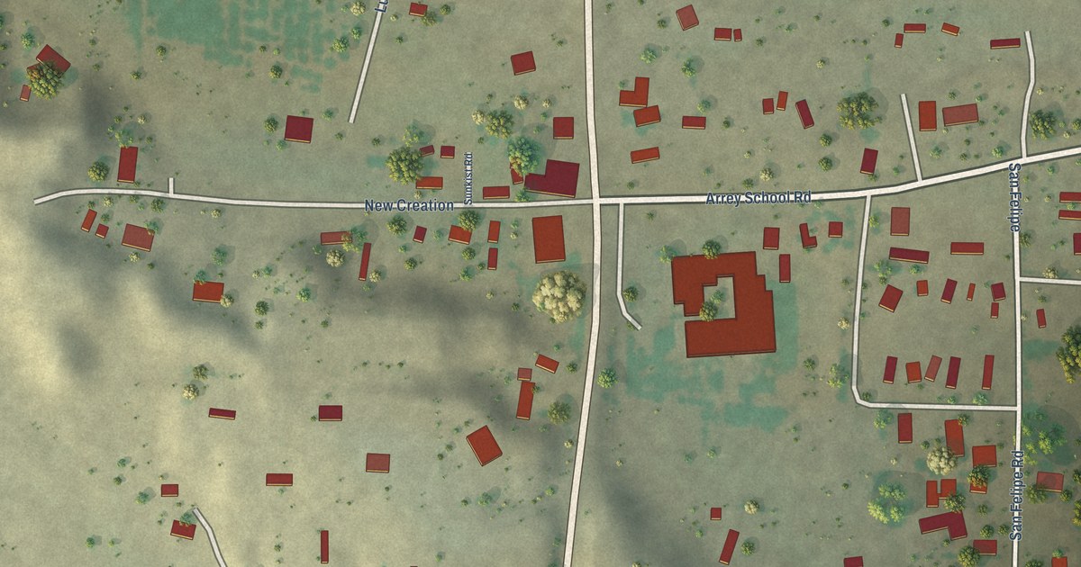
A detailed map of Arrey, New Mexico, showing every building in its true location, the roads by name, and shaded topographical relief.
Read More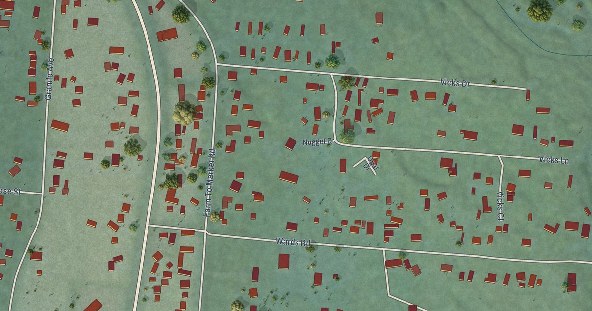
A detailed map of White Haven, Montana, showing every building in its true location, the roads by name, and shaded topographical relief.
Read More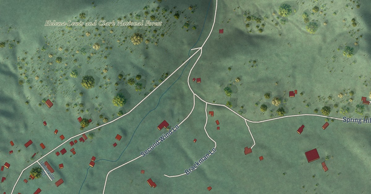
A detailed map of Unionville, Montana, showing every building in its true location, the roads by name, and shaded topographical relief.
Read More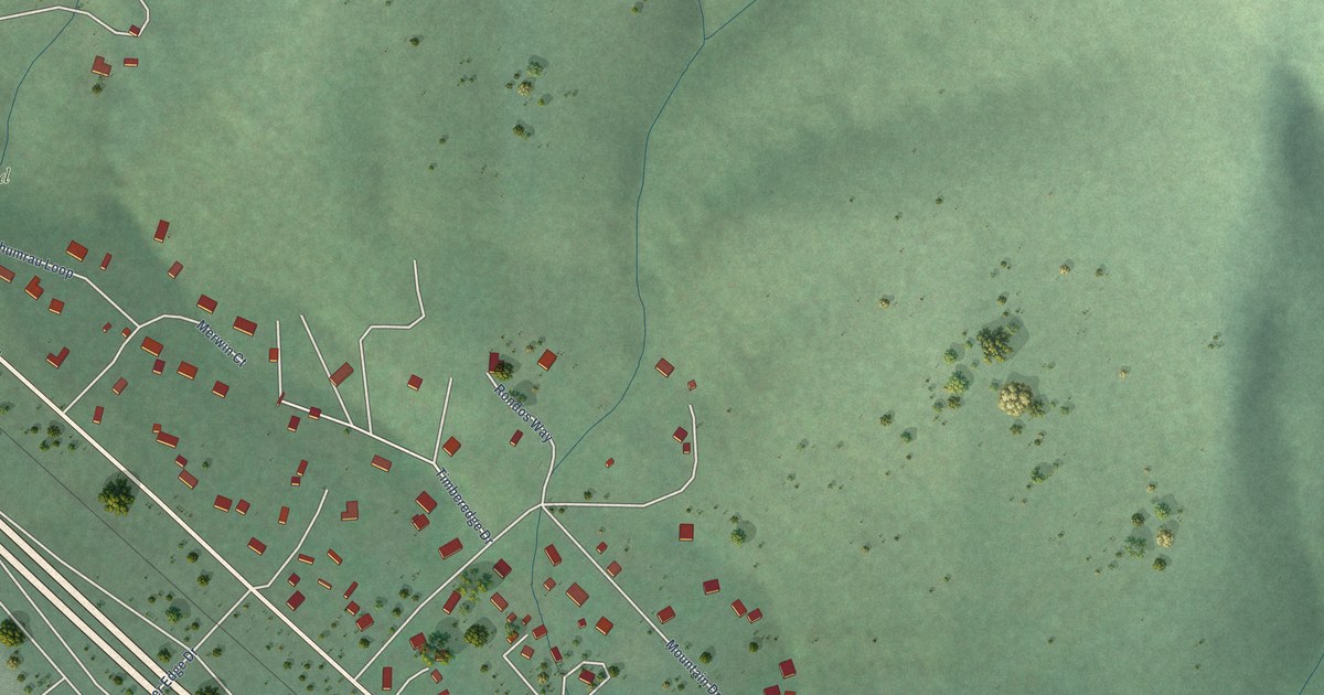
A detailed map of Turah, Montana, showing every building in its true location, the roads by name, and shaded topographical relief.
Read More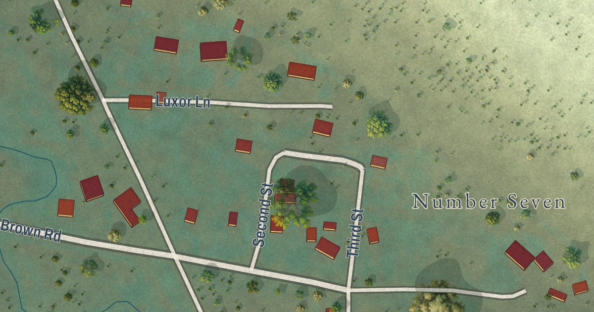
A detailed map of Tracy, Montana, showing every building in its true location, the roads by name, and shaded topographical relief.
Read More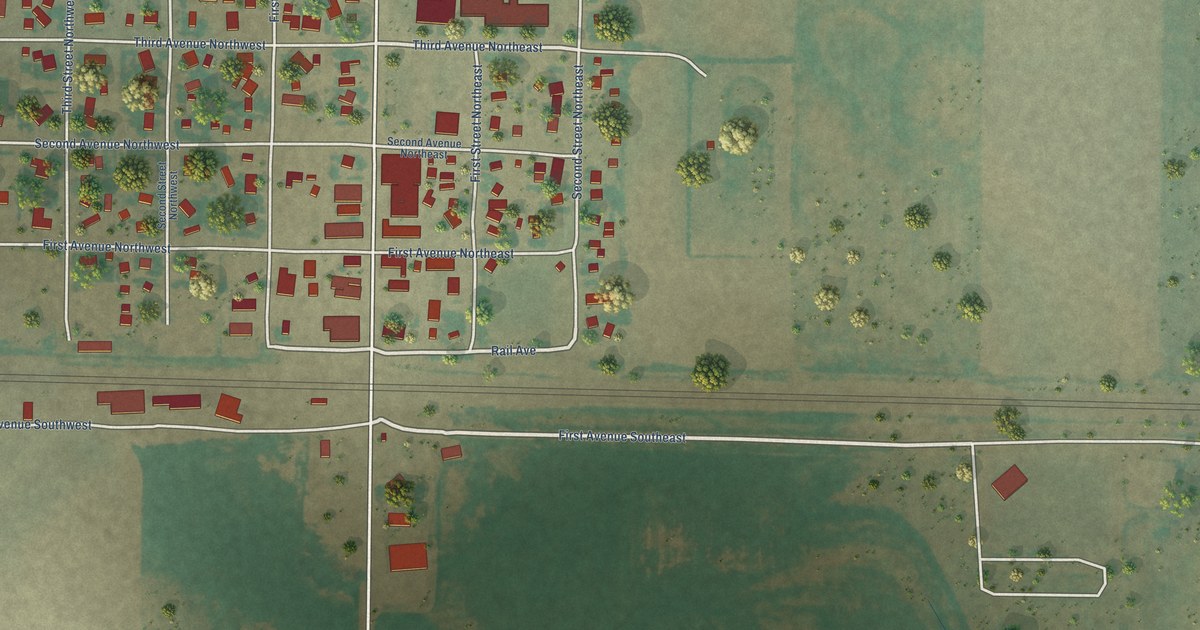
A detailed map of Rudyard, Montana, showing every building in its true location, the roads by name, and shaded topographical relief.
Read More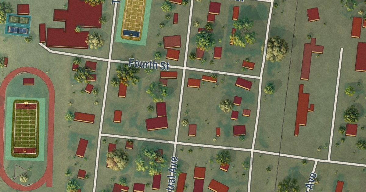
A detailed map of Power, Montana, showing every building in its true location, the roads by name, and shaded topographical relief.
Read More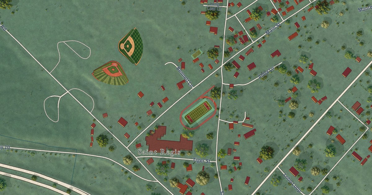
A detailed map of St. Regis, Montana, showing every building in its true location, the roads by name, and shaded topographical relief.
Read More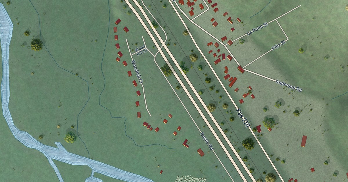
A detailed map of Piltzville, Montana, showing every building in its true location, the roads by name, and shaded topographical relief.
Read More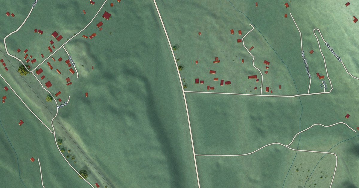
A detailed map of Olney, Montana, showing every building in its true location, the roads by name, and shaded topographical relief.
Read More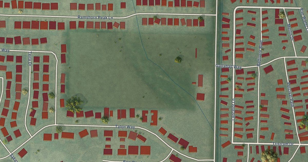
A detailed map of King Arthur Park, Montana, showing every building in its true location, the roads by name, and shaded topographical relief.
Read More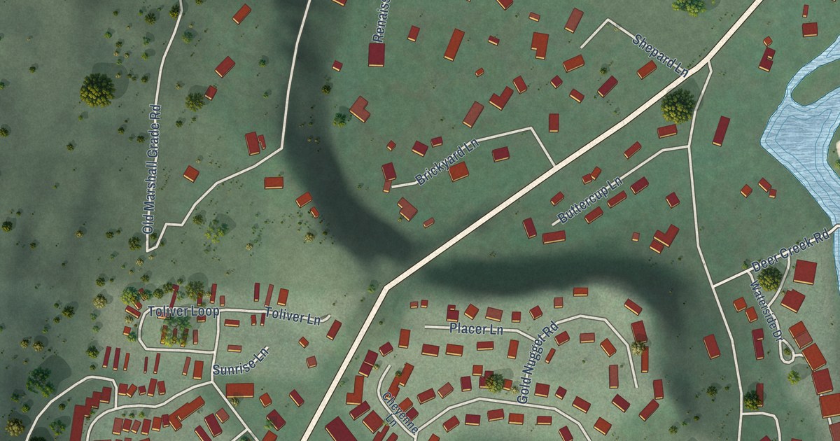
A detailed map of East Missoula, Montana, showing every building in its true location, the roads by name, and shaded topographical relief.
Read More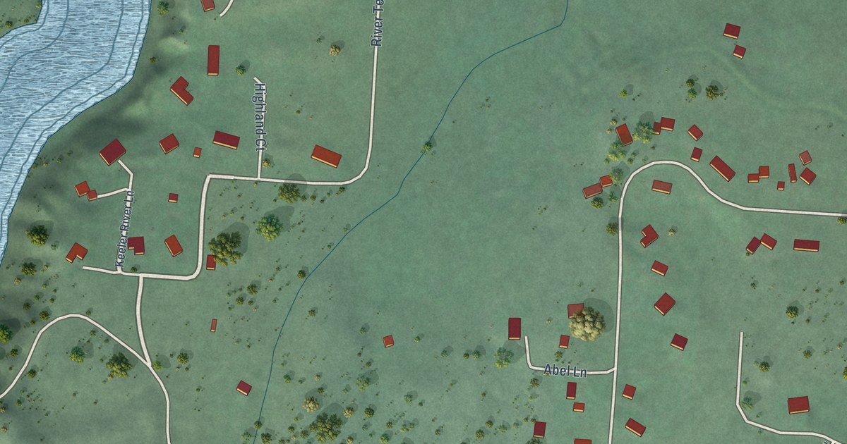
A detailed map of Kerr, Montana, showing every building in its true location, the roads by name, and shaded topographical relief.
Read More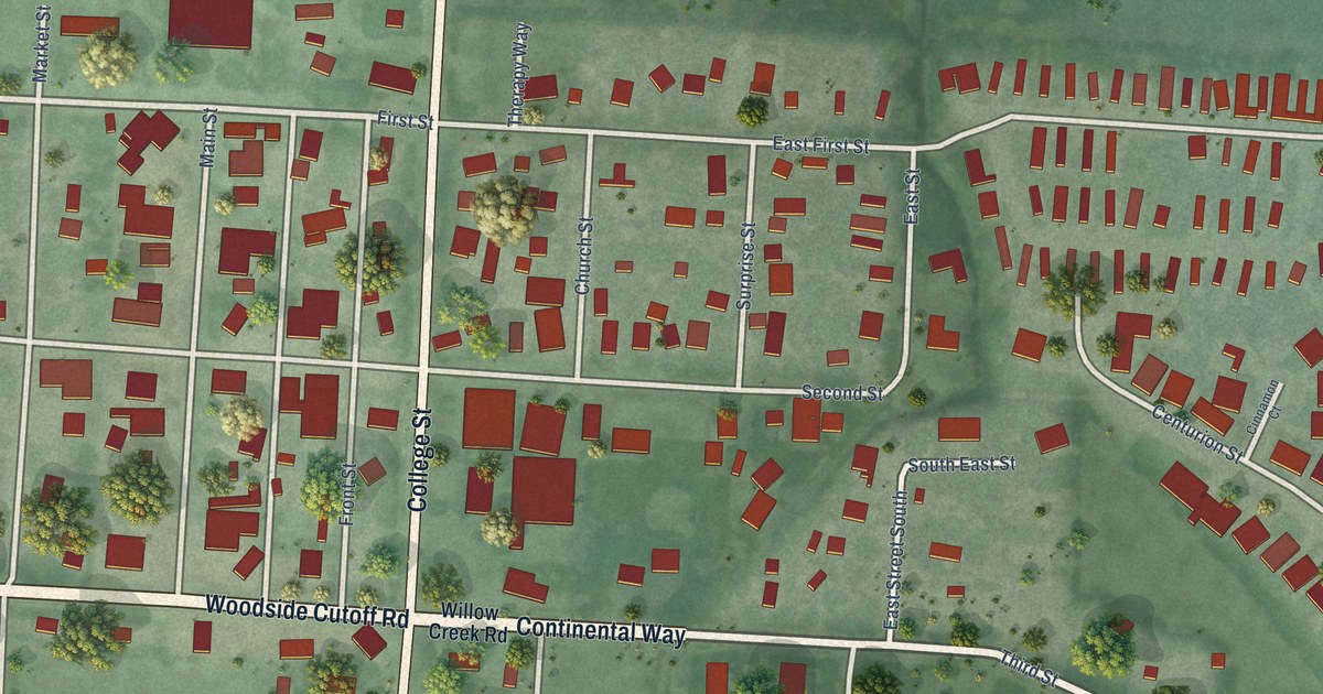
A detailed map of Corvallis, Montana, showing every building in its true location, the roads by name, and shaded topographical relief.
Read More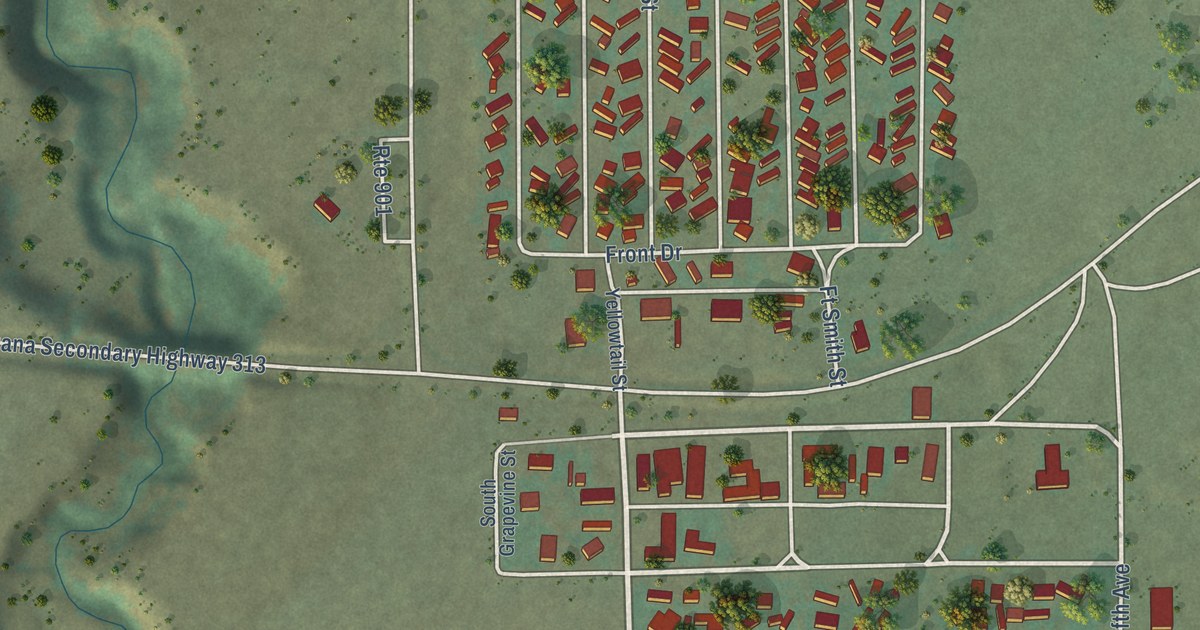
A detailed map of Fort Smith, Montana, showing every building in its true location, the roads by name, and shaded topographical relief.
Read More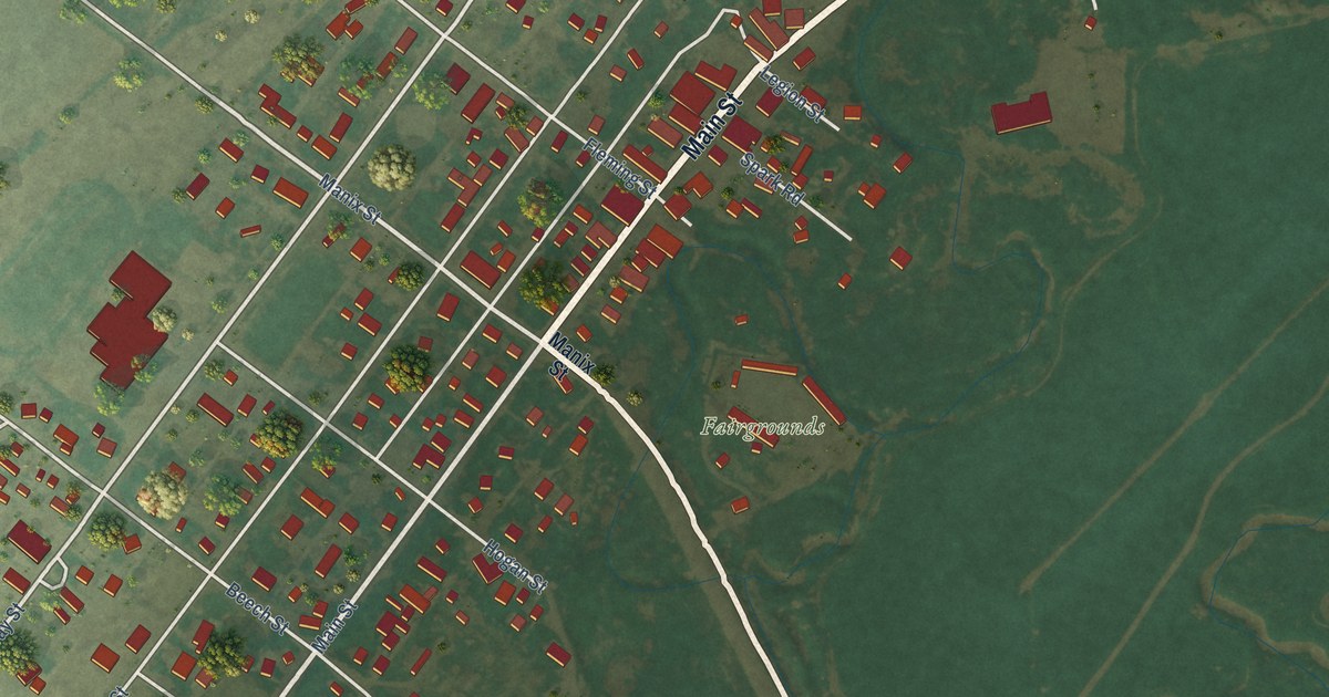
A detailed map of Augusta, Montana, showing every building in its true location, the roads by name, and shaded topographical relief.
Read More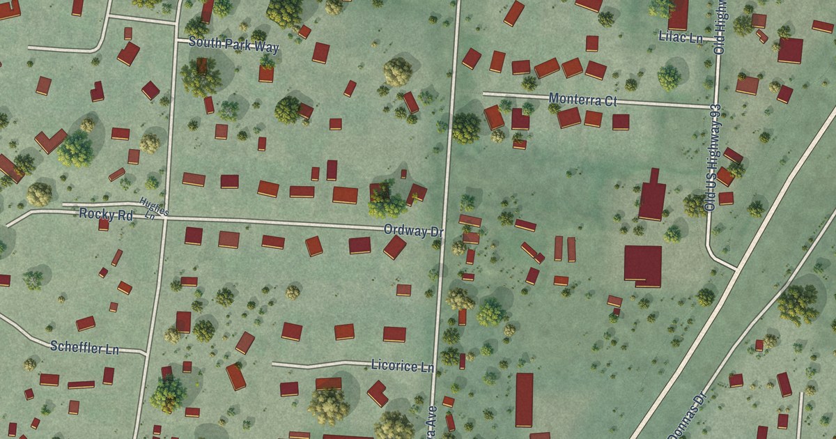
A detailed map of Florence, Montana, showing every building in its true location, the roads by name, and shaded topographical relief.
Read More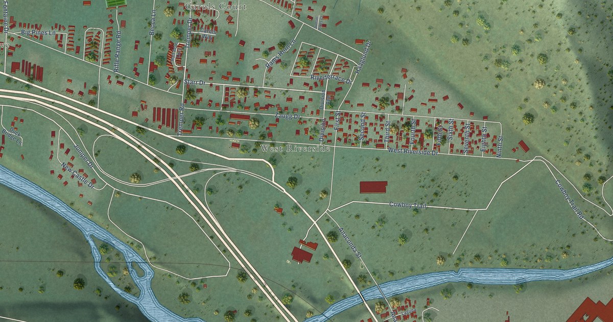
A detailed map of Bonner-West Riverside, Montana, showing every building in its true location, the roads by name, and shaded topographical relief.
Read More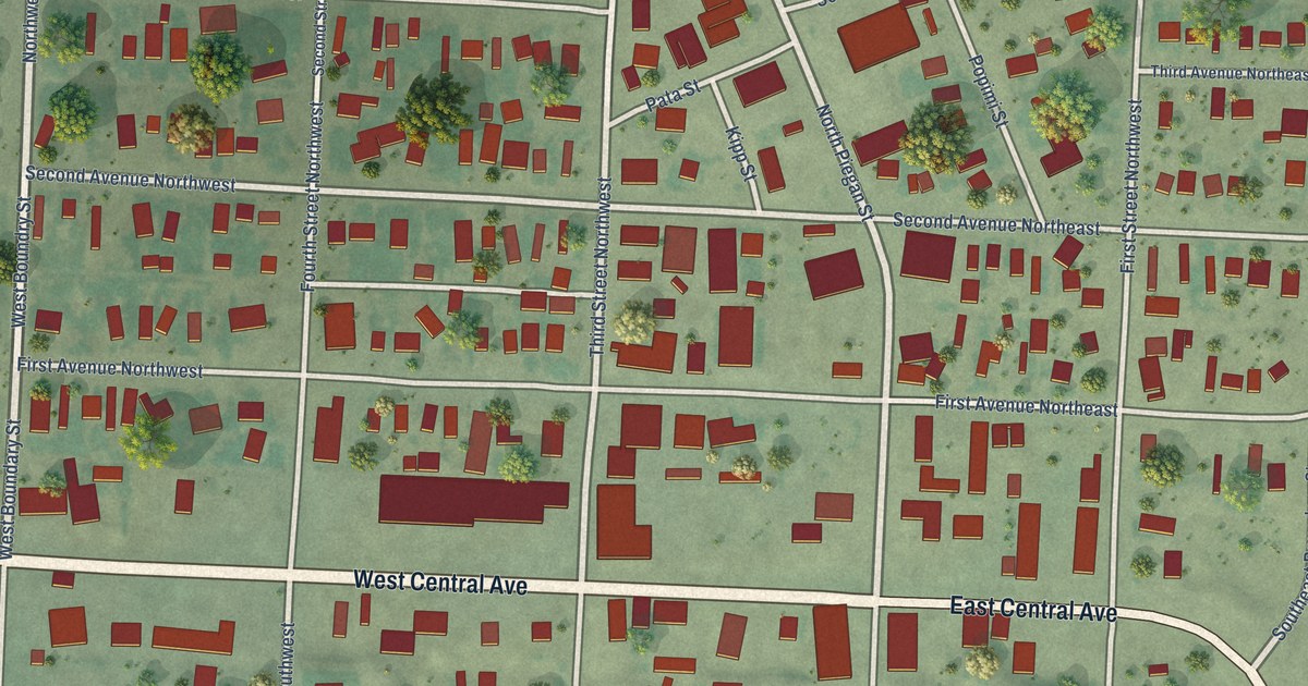
A detailed map of Browning, Montana, showing every building in its true location, the roads by name, and shaded topographical relief.
Read More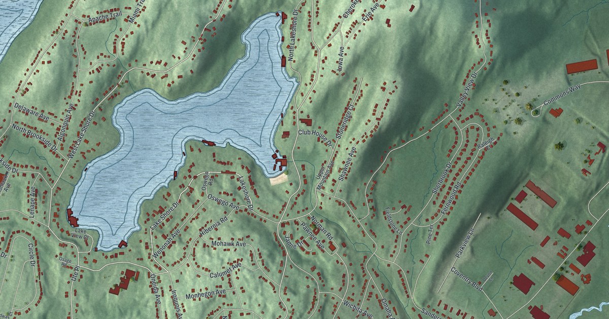
A detailed map of White Meadow Lake, New Jersey, showing every building in its true location, the roads by name, and shaded topographical relief.
Read More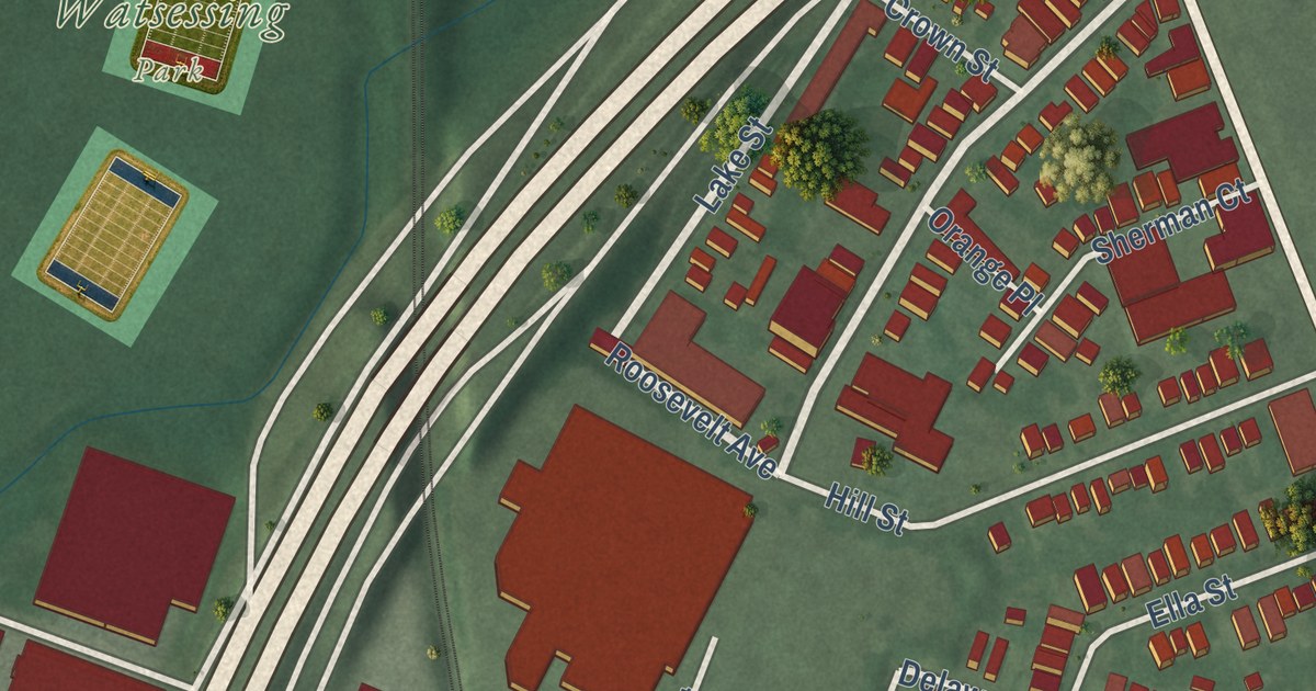
A detailed map of Watsessing, New Jersey, showing every building in its true location, the roads by name, and shaded topographical relief.
Read More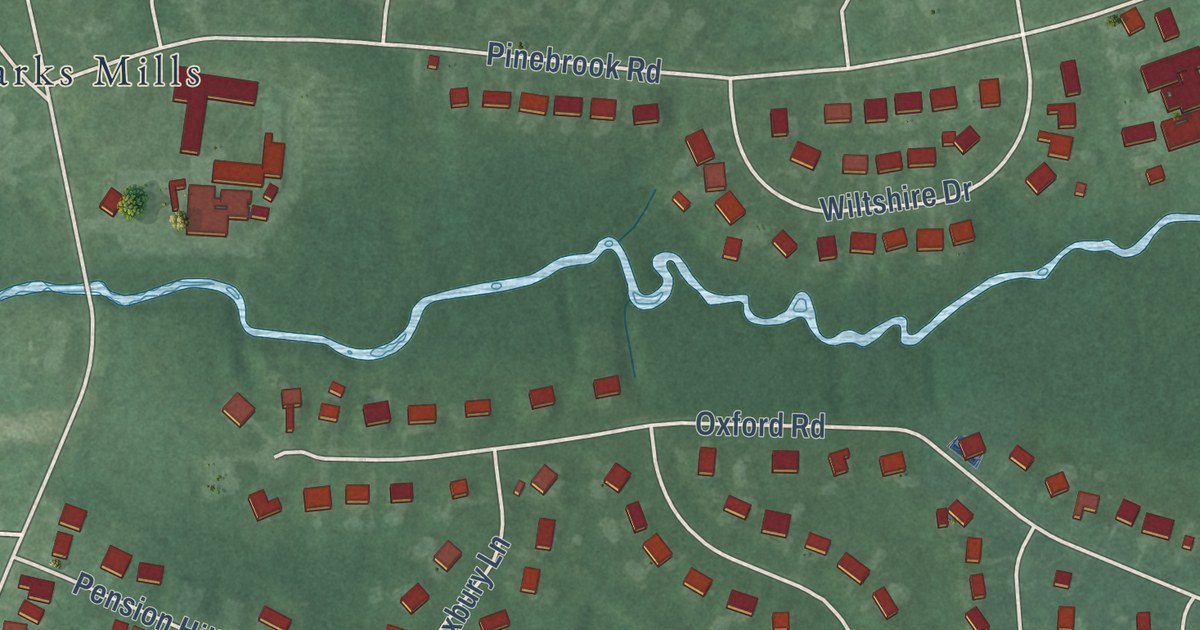
A detailed map of Yorketown, New Jersey, showing every building in its true location, the roads by name, and shaded topographical relief.
Read More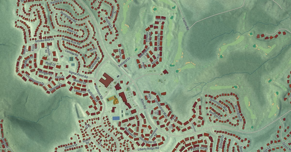
A detailed map of The Hills, New Jersey, showing every building in its true location, the roads by name, and shaded topographical relief.
Read More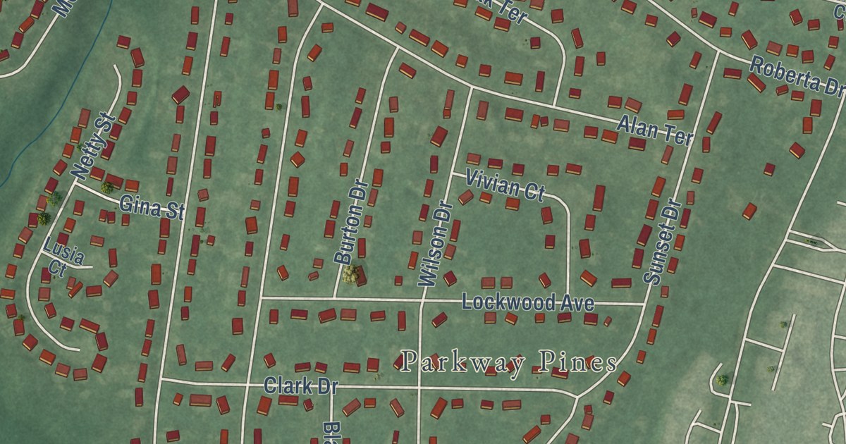
A detailed map of Ramtown, New Jersey, showing every building in its true location, the roads by name, and shaded topographical relief.
Read More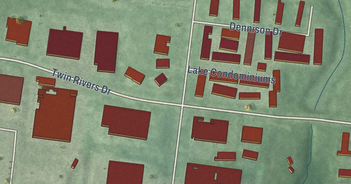
A detailed map of Twin Rivers, New Jersey, showing every building in its true location, the roads by name, and shaded topographical relief.
Read More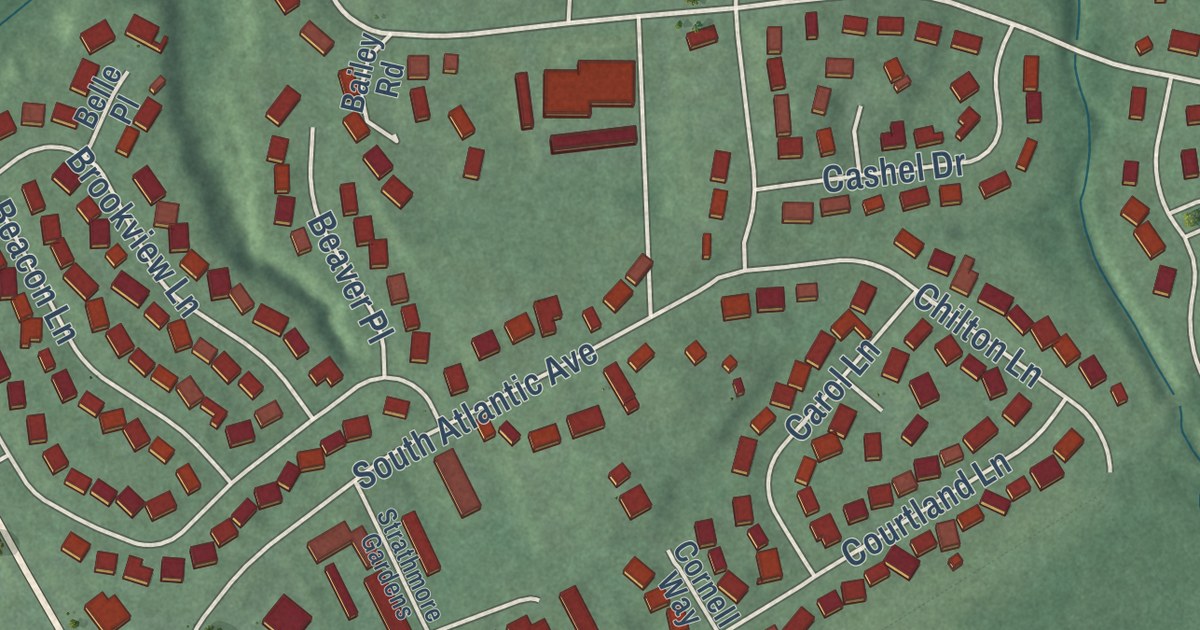
A detailed map of Strathmore, New Jersey, showing every building in its true location, the roads by name, and shaded topographical relief.
Read More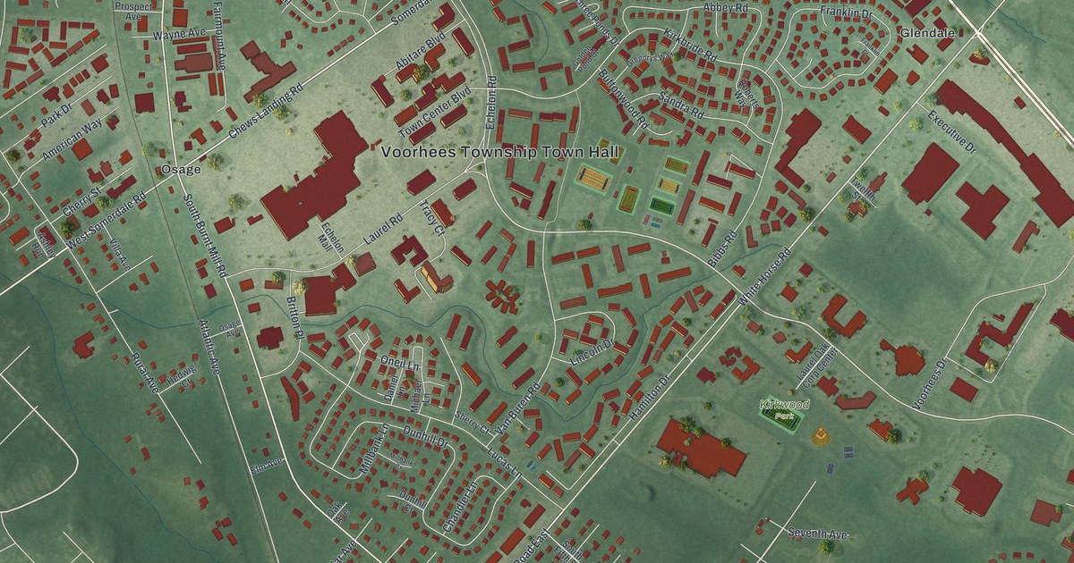
A detailed map of Echelon, New Jersey, showing every building in its true location, the roads by name, and shaded topographical relief.
Read More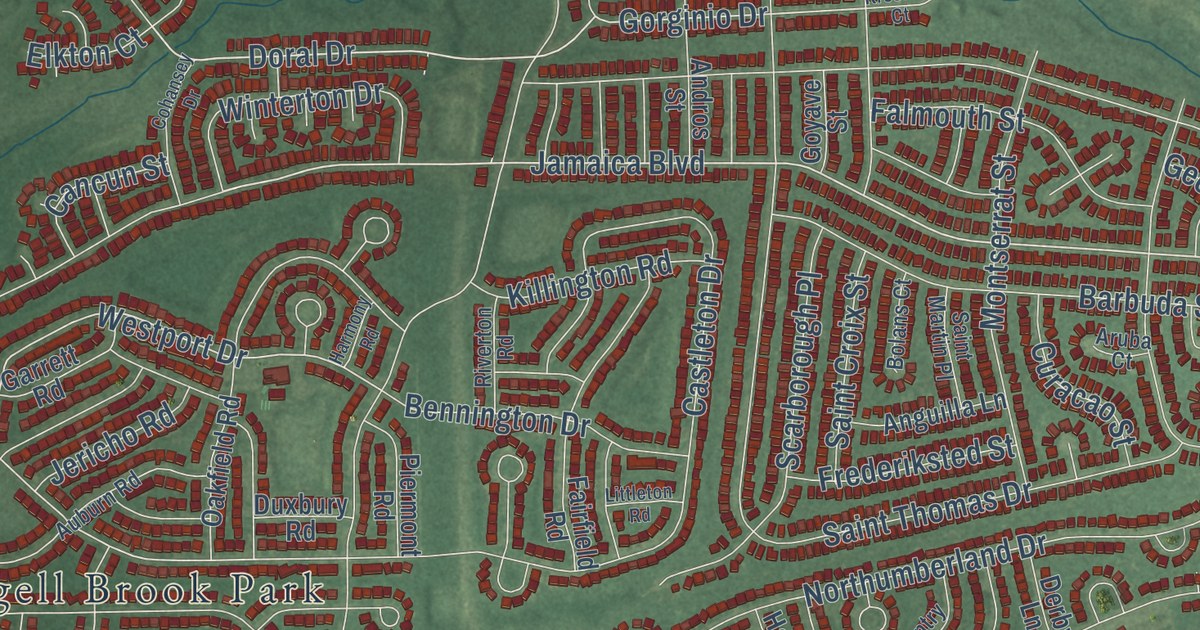
A detailed map of Holiday City-Berkeley, New Jersey, showing every building in its true location, the roads by name, and shaded topographical relief.
Read More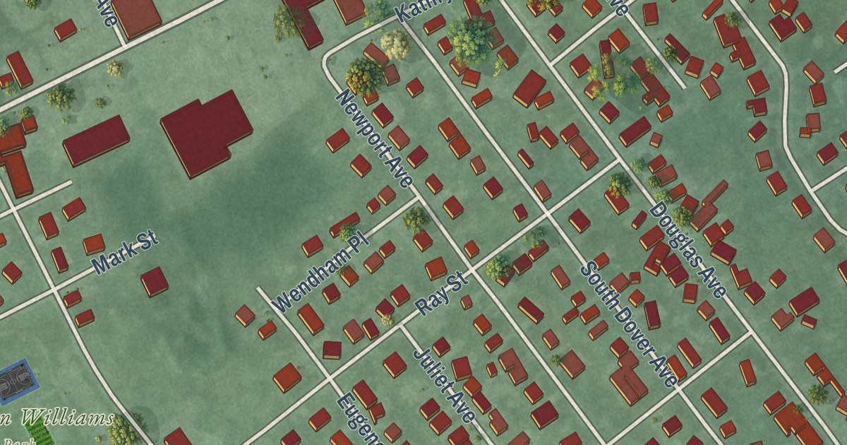
A detailed map of East Franklin, New Jersey, showing every building in its true location, the roads by name, and shaded topographical relief.
Read More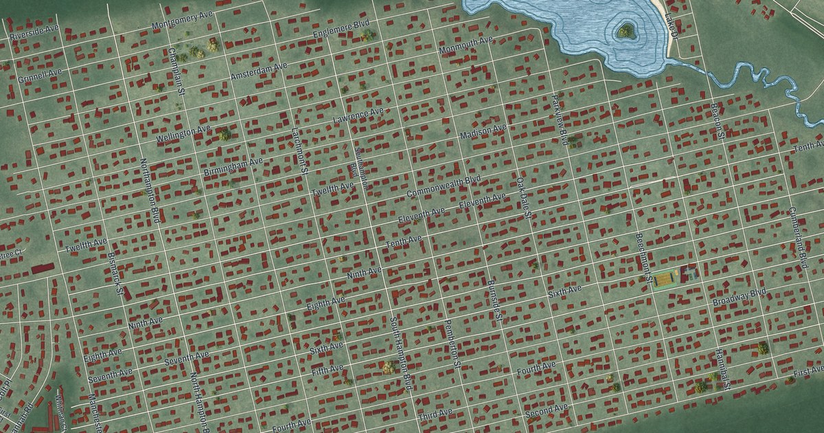
A detailed map of Pine Lake Park, New Jersey, showing every building in its true location, the roads by name, and shaded topographical relief.
Read More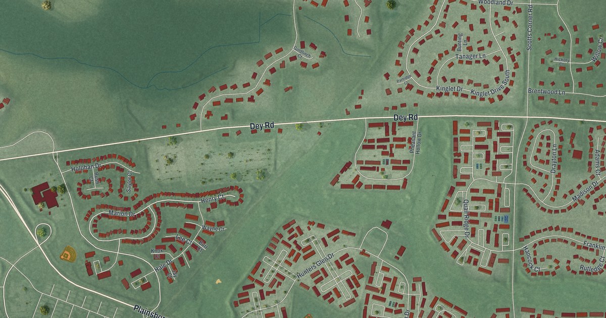
A detailed map of Princeton Meadows, New Jersey, showing every building in its true location, the roads by name, and shaded topographical relief.
Read More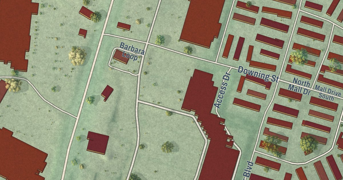
A detailed map of Madison Park, New Jersey, showing every building in its true location, the roads by name, and shaded topographical relief.
Read More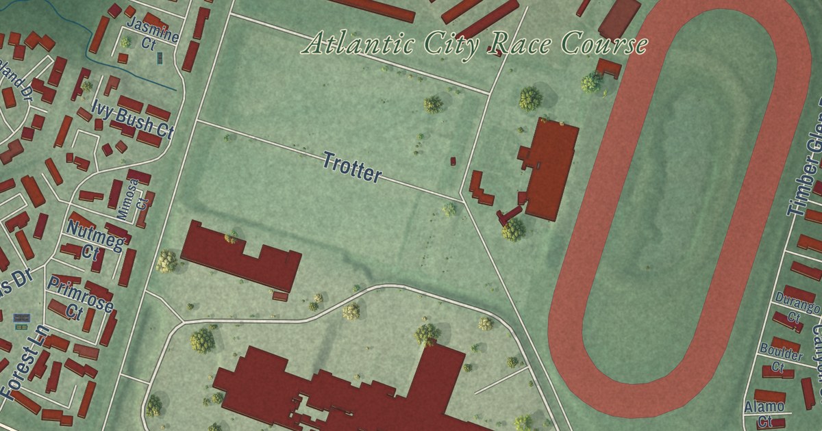
A detailed map of McKee City, New Jersey, showing every building in its true location, the roads by name, and shaded topographical relief.
Read More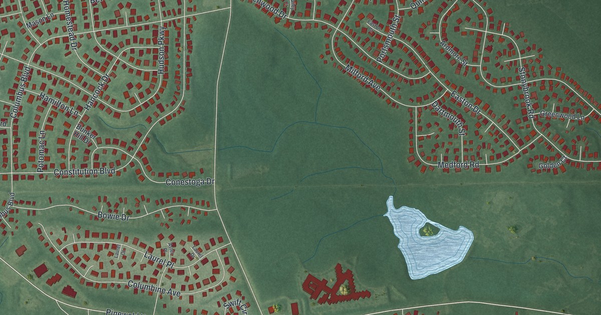
A detailed map of Crestwood Village, New Jersey, showing every building in its true location, the roads by name, and shaded topographical relief.
Read More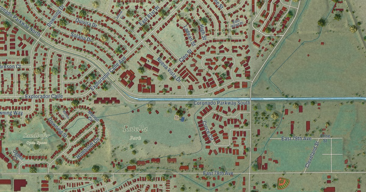
A detailed map of Welby, Colorado, showing every building in its true location, the roads by name, and shaded topographical relief.
Read More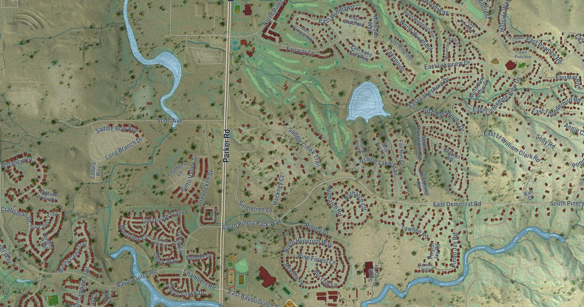
A detailed map of The Pinery, Colorado, showing every building in its true location, the roads by name, and shaded topographical relief.
Read More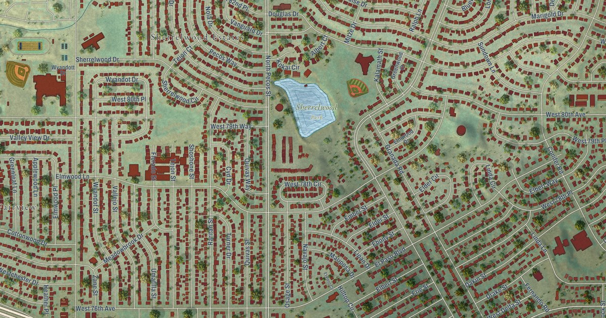
A detailed map of Sherrelwood, Colorado, showing every building in its true location, the roads by name, and shaded topographical relief.
Read More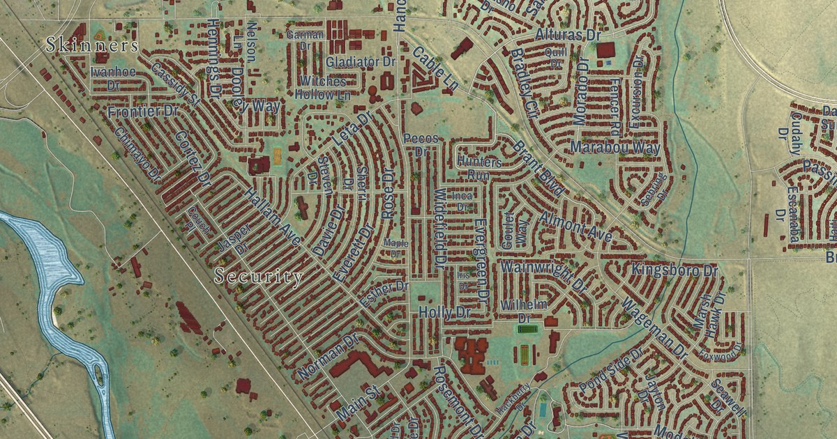
A detailed map of Security-Widefield, Colorado, showing every building in its true location, the roads by name, and shaded topographical relief.
Read More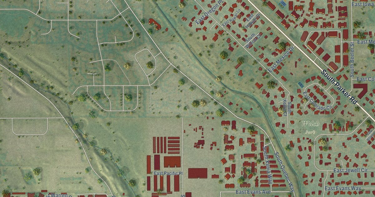
A detailed map of Four Square Mile, Colorado, showing every building in its true location, the roads by name, and shaded topographical relief.
Read More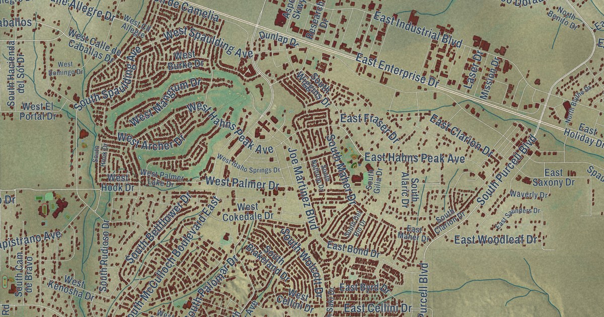
A detailed map of Pueblo West, Colorado, showing every building in its true location, the roads by name, and shaded topographical relief.
Read More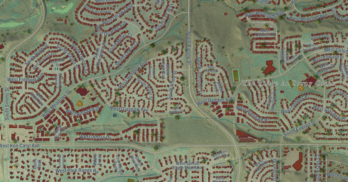
A detailed map of Ken Caryl, Colorado, showing every building in its true location, the roads by name, and shaded topographical relief.
Read More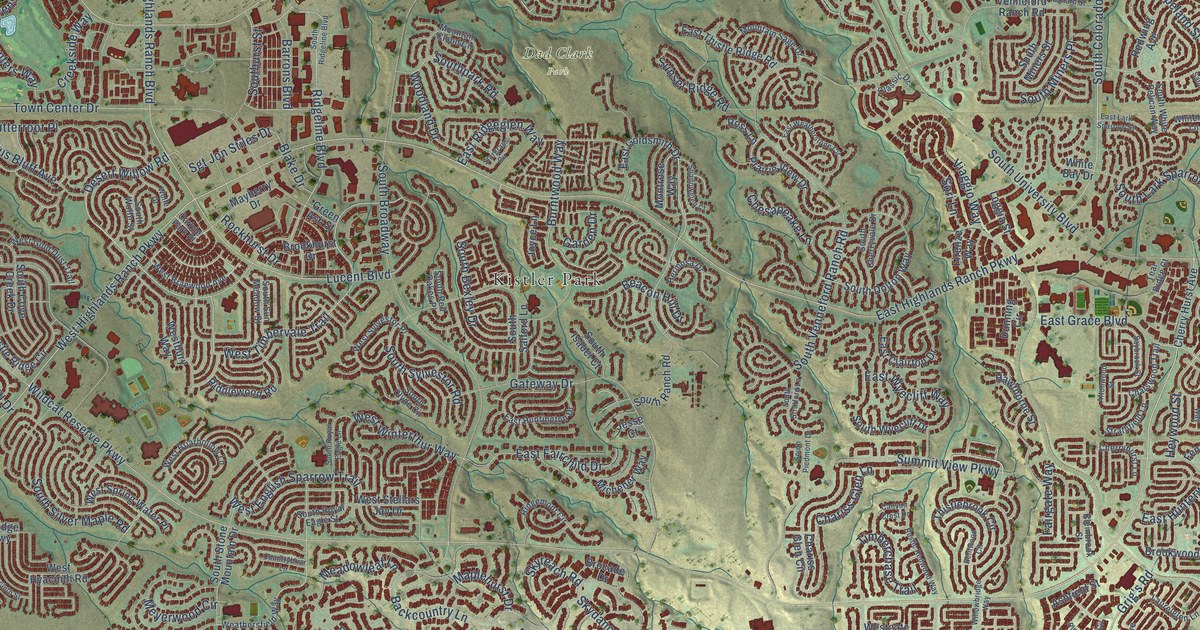
A detailed map of Highlands Ranch, Colorado, showing every building in its true location, the roads by name, and shaded topographical relief.
Read More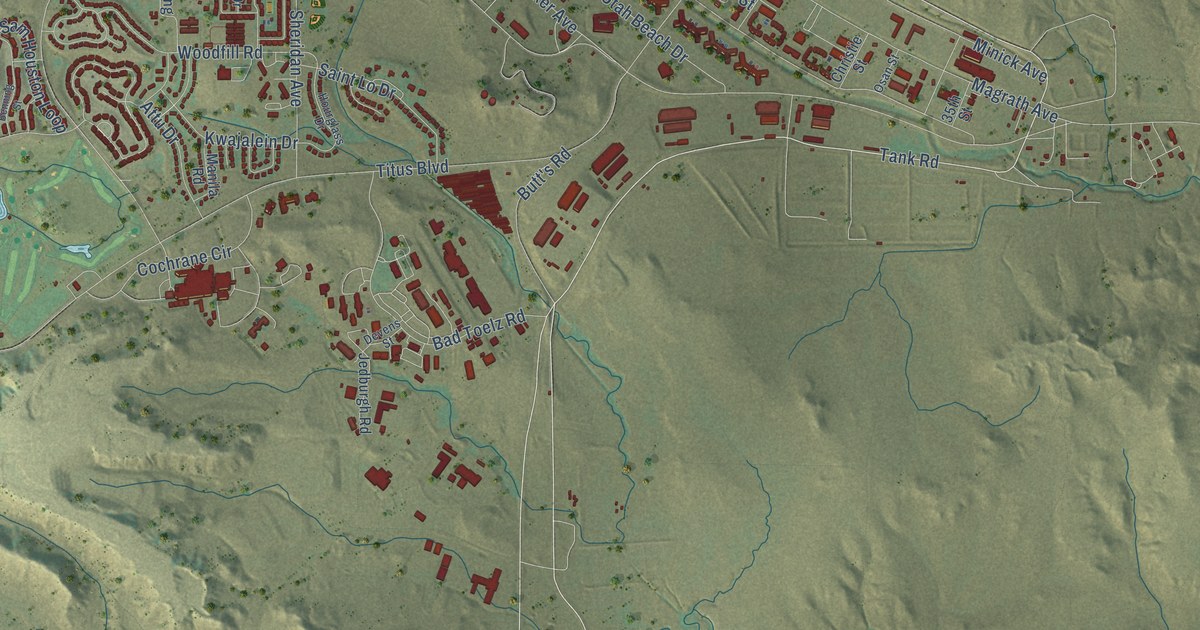
A detailed map of Fort Carson, Colorado, showing every building in its true location, the roads by name, and shaded topographical relief.
Read More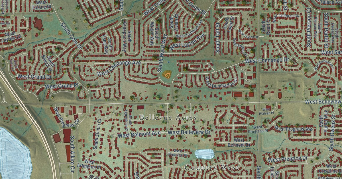
A detailed map of Dakota Ridge, Colorado, showing every building in its true location, the roads by name, and shaded topographical relief.
Read More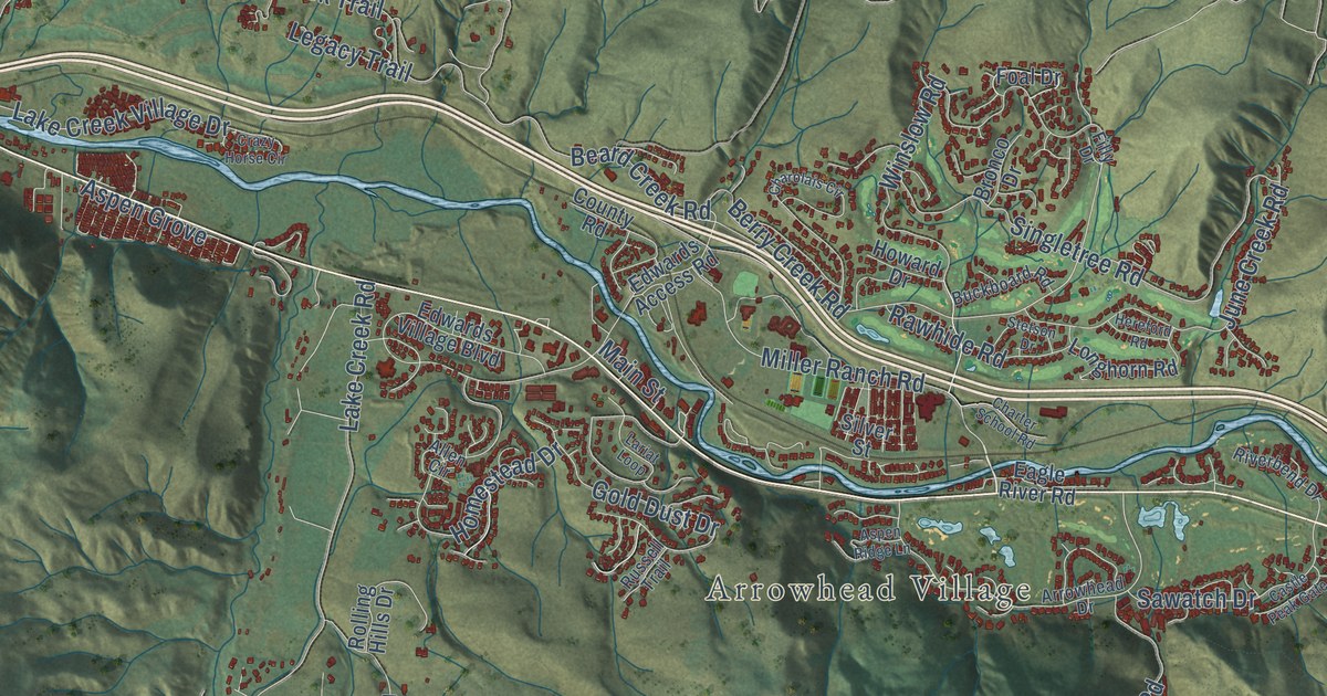
A detailed map of Edwards, Colorado, showing every building in its true location, the roads by name, and shaded topographical relief.
Read More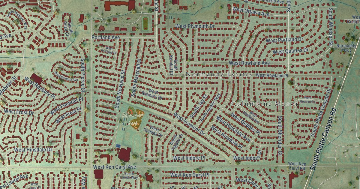
A detailed map of Columbine, Colorado, showing every building in its true location, the roads by name, and shaded topographical relief.
Read More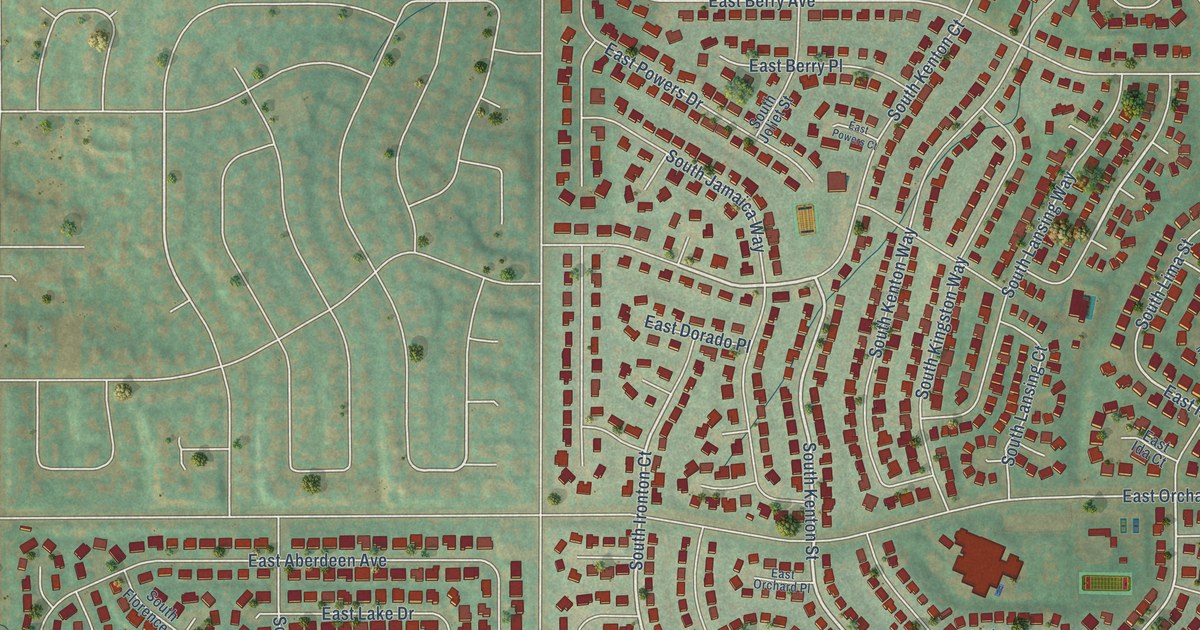
A detailed map of Cherry Creek, Colorado, showing every building in its true location, the roads by name, and shaded topographical relief.
Read More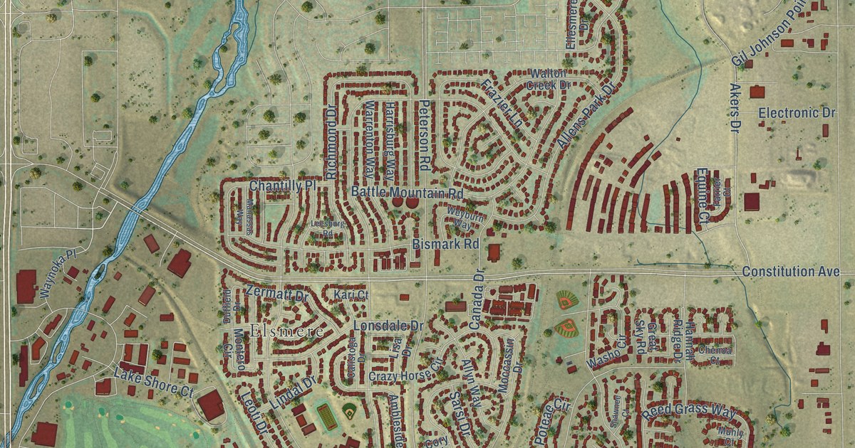
A detailed map of Cimarron Hills, Colorado, showing every building in its true location, the roads by name, and shaded topographical relief.
Read More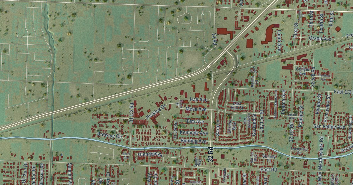
A detailed map of Clifton, Colorado, showing every building in its true location, the roads by name, and shaded topographical relief.
Read More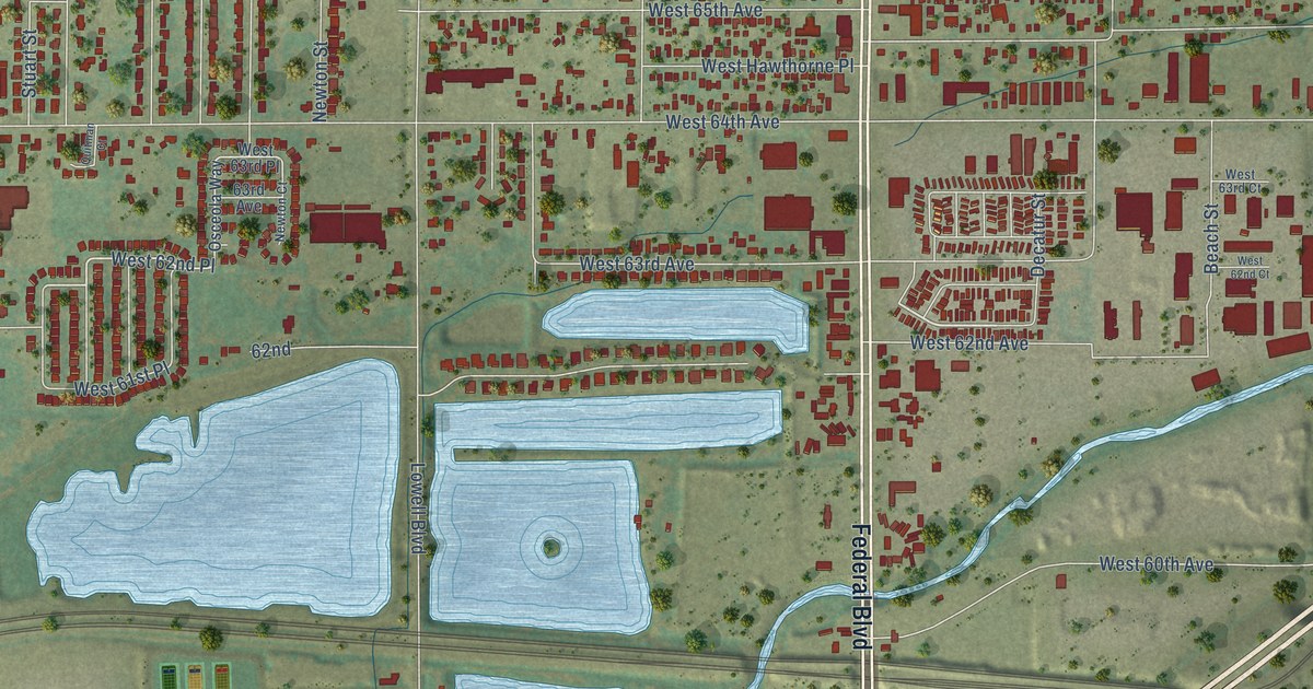
A detailed map of Berkley, Colorado, showing every building in its true location, the roads by name, and shaded topographical relief.
Read More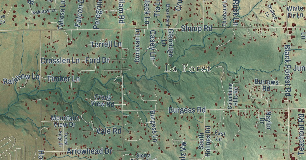
A detailed map of Black Forest, Colorado, showing every building in its true location, the roads by name, and shaded topographical relief.
Read More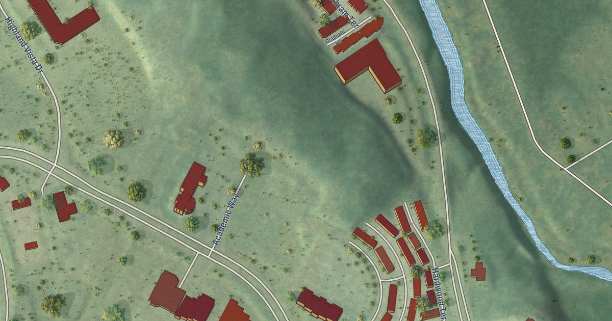
A detailed map of University Center, Virginia, showing every building in its true location, the roads by name, and shaded topographical relief.
Read More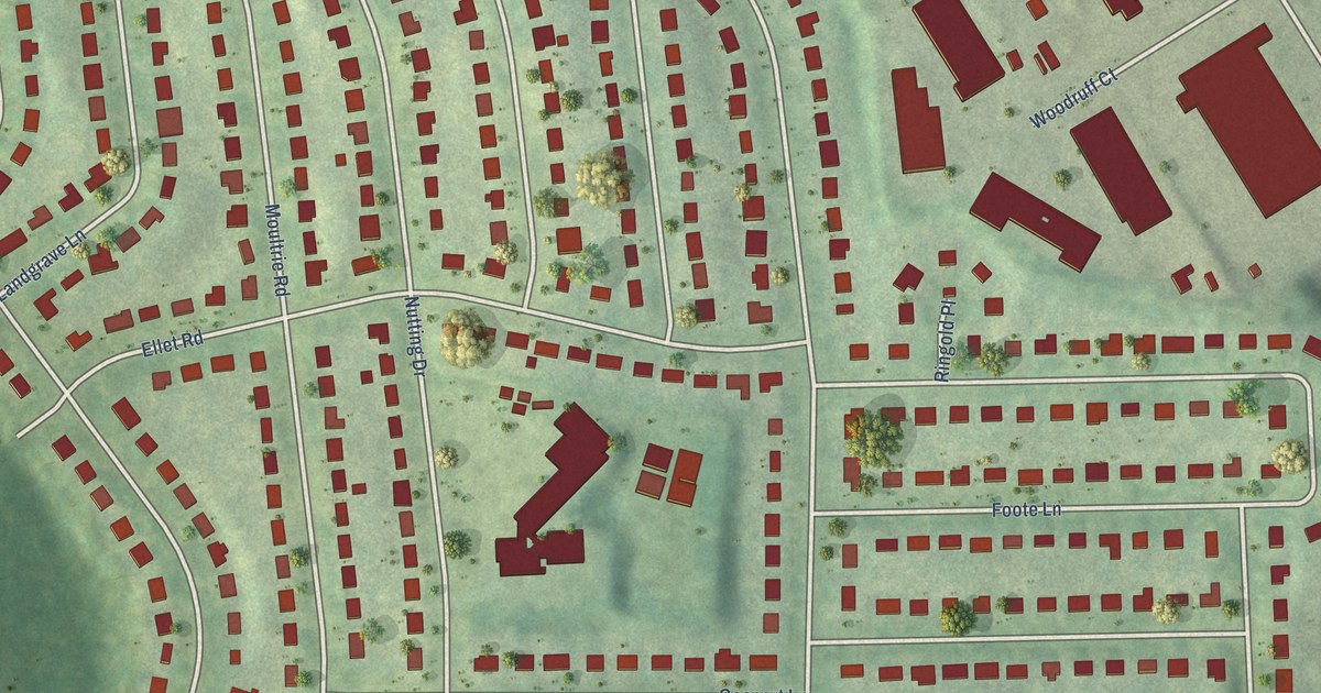
A detailed map of Ravensworth, Virginia, showing every building in its true location, the roads by name, and shaded topographical relief.
Read More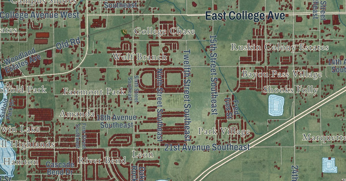
A detailed map of Ruskin, Florida, showing every building in its true location, the roads by name, and shaded topographical relief.
Read More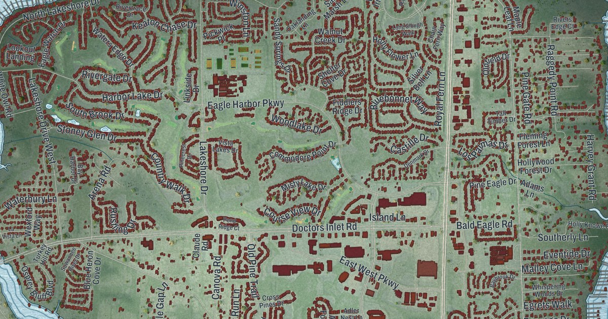
A detailed map of Fleming Island, Florida, showing every building in its true location, the roads by name, and shaded topographical relief.
Read More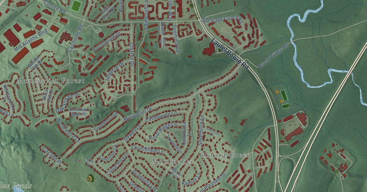
A detailed map of South Laurel, Maryland, showing every building in its true location, the roads by name, and shaded topographical relief.
Read More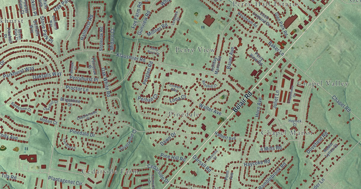
A detailed map of Perry Hall, Maryland, showing every building in its true location, the roads by name, and shaded topographical relief.
Read More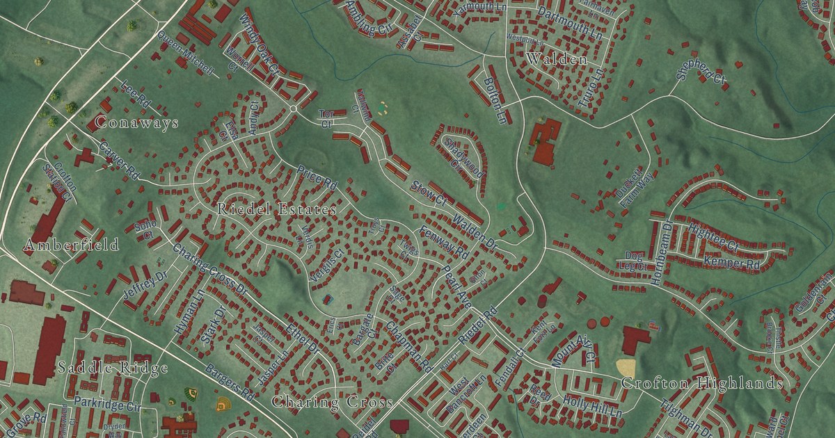
A detailed map of Crofton, Maryland, showing every building in its true location, the roads by name, and shaded topographical relief.
Read More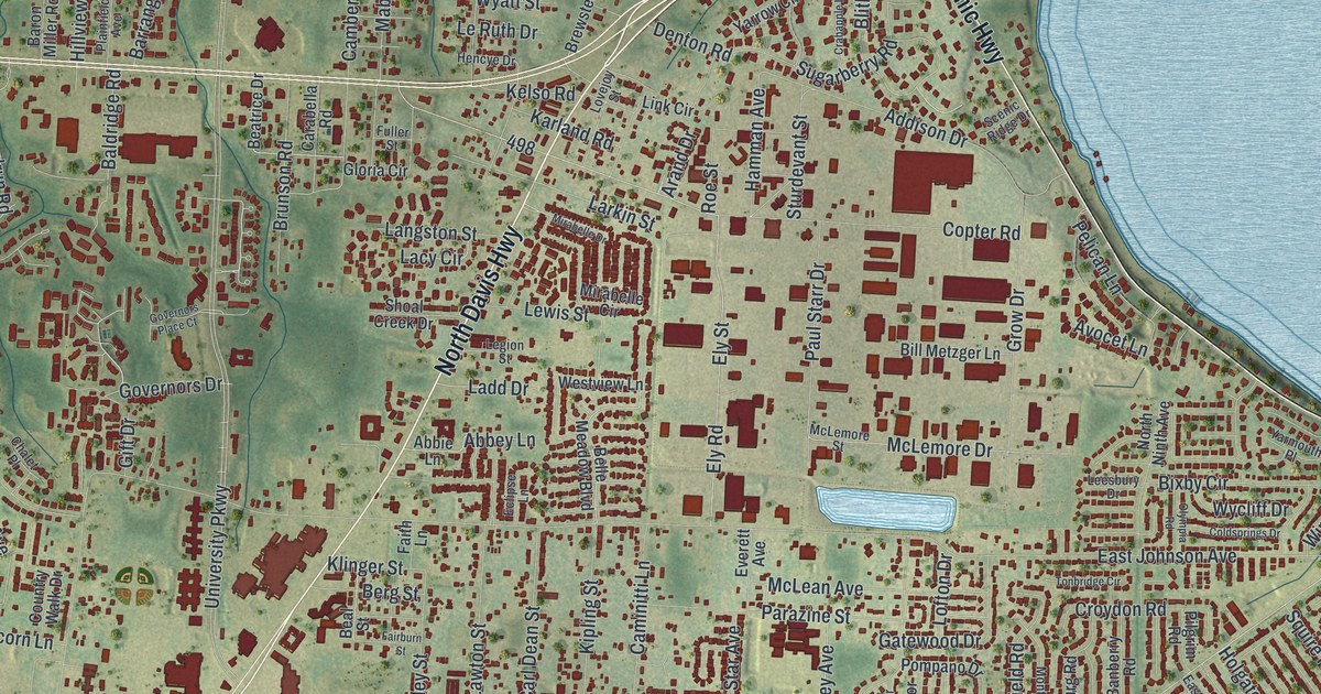
A detailed map of Ferry Pass, Florida, showing every building in its true location, the roads by name, and shaded topographical relief.
Read More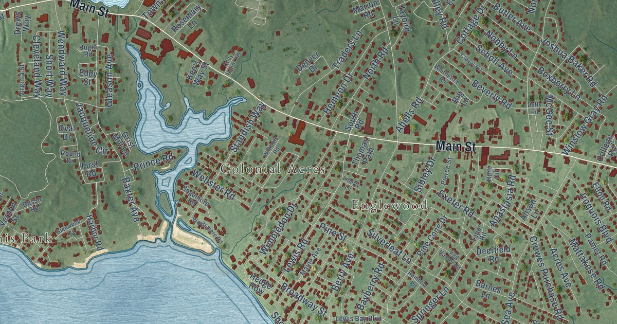
A detailed map of West Yarmouth, Massachusetts, showing every building in its true location, the roads by name, and shaded topographical relief.
Read More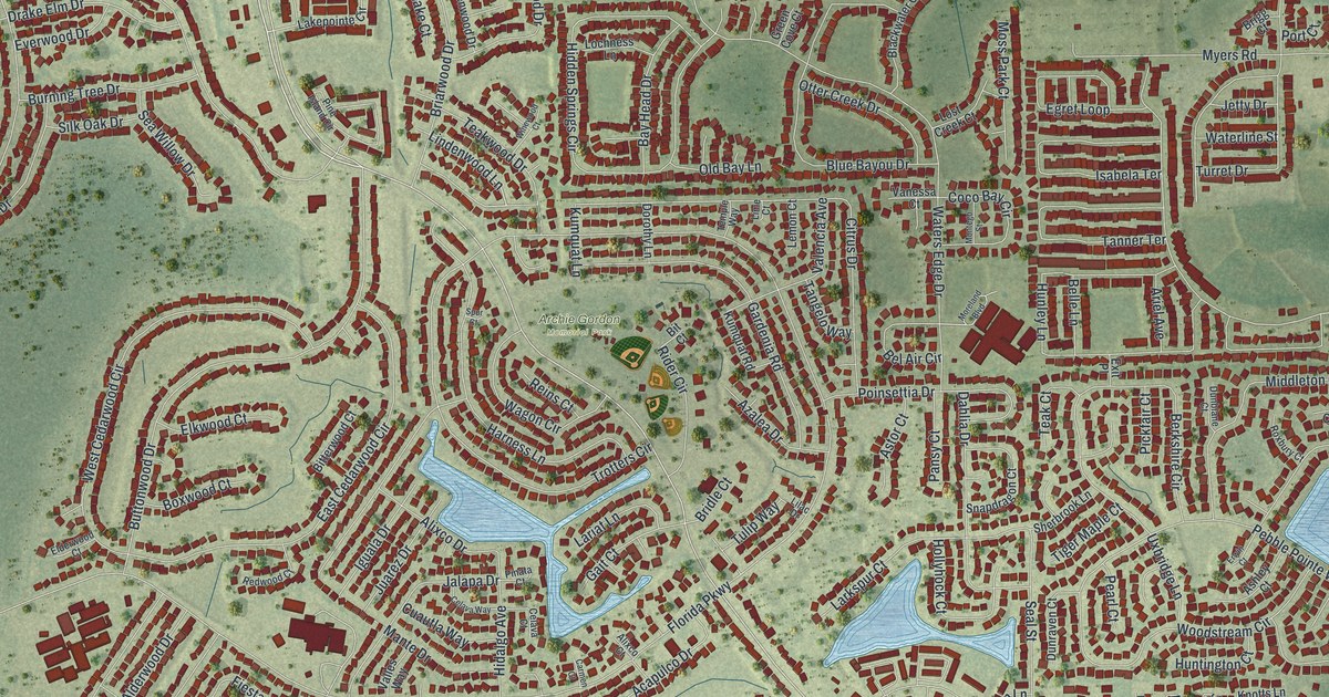
A detailed map of Buenaventura Lakes, Florida, showing every building in its true location, the roads by name, and shaded topographical relief.
Read More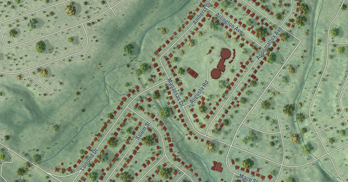
A detailed map of Loch Lomond, Virginia, showing every building in its true location, the roads by name, and shaded topographical relief.
Read More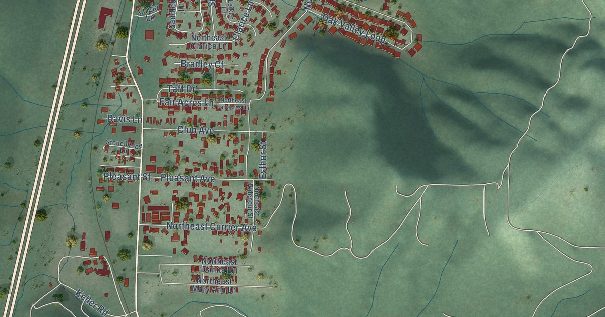
A detailed map of Roseburg North, Oregon, showing every building in its true location, the roads by name, and shaded topographical relief.
Read More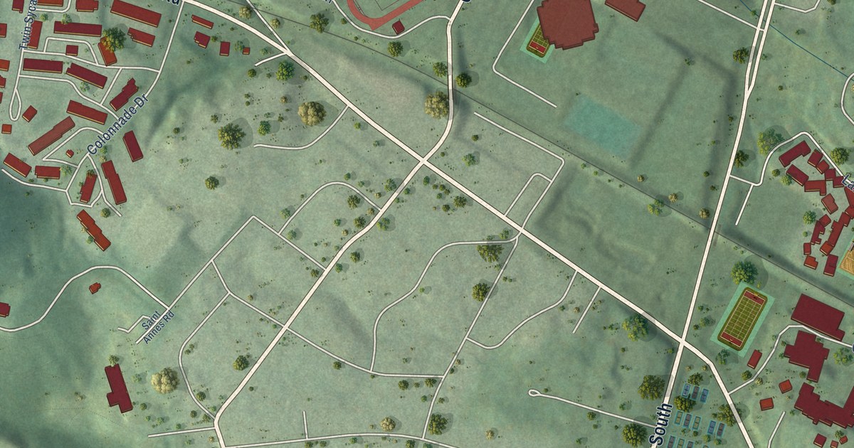
A detailed map of University of Virginia, Virginia, showing every building in its true location, the roads by name, and shaded topographical relief.
Read More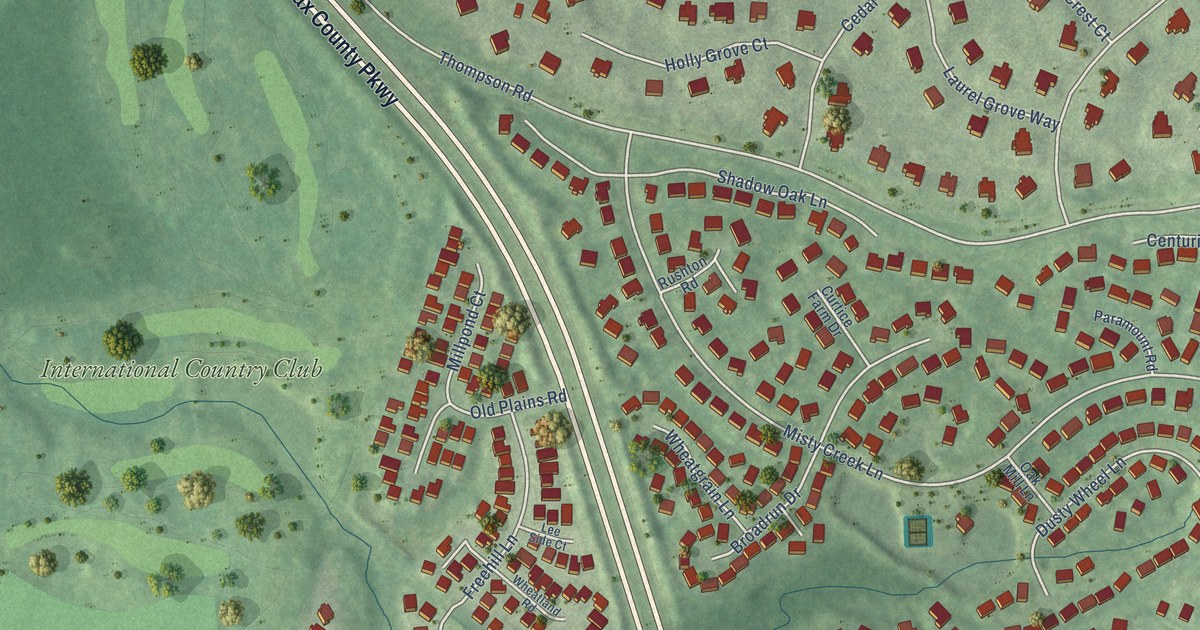
A detailed map of Navy, Virginia, showing every building in its true location, the roads by name, and shaded topographical relief.
Read More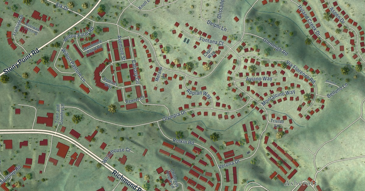
A detailed map of Pantops, Virginia, showing every building in its true location, the roads by name, and shaded topographical relief.
Read More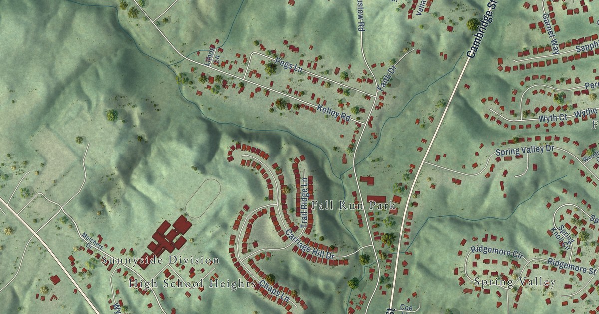
A detailed map of Falmouth, Virginia, showing every building in its true location, the roads by name, and shaded topographical relief.
Read More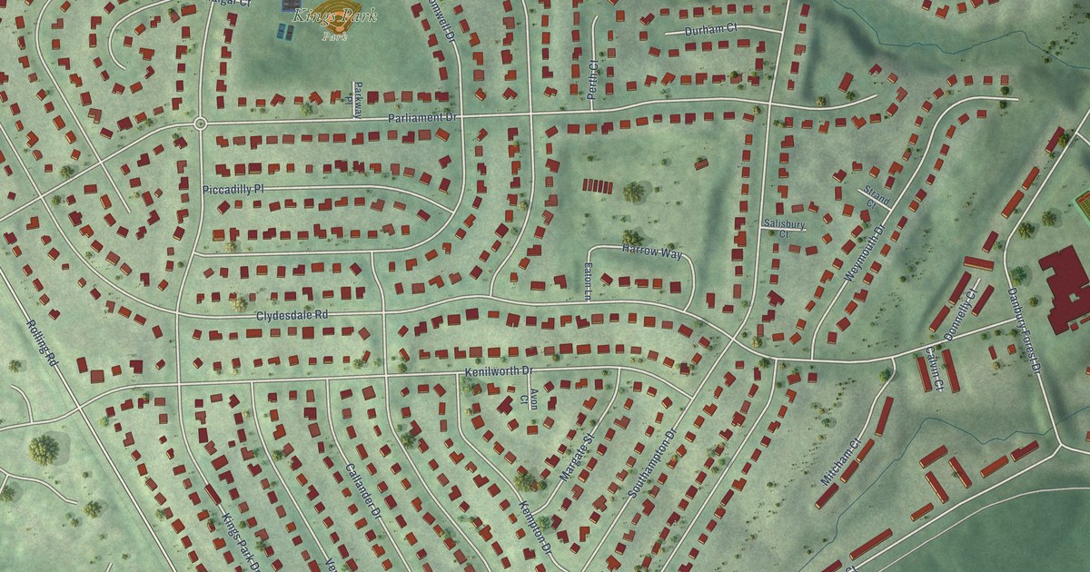
A detailed map of Kings Park, Virginia, showing every building in its true location, the roads by name, and shaded topographical relief.
Read More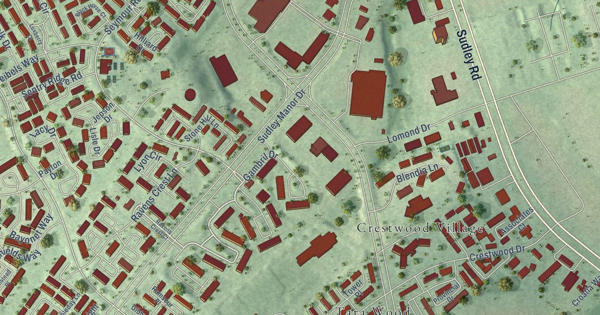
A detailed map of Bull Run, Virginia, showing every building in its true location, the roads by name, and shaded topographical relief.
Read More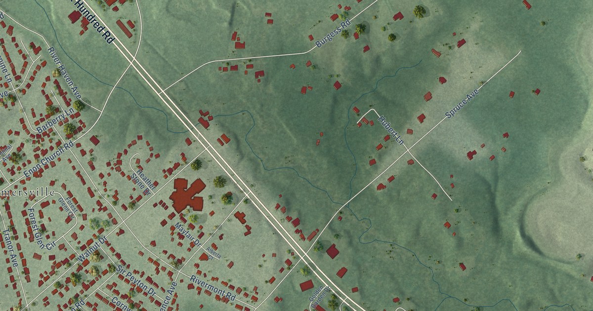
A detailed map of Enon, Virginia, showing every building in its true location, the roads by name, and shaded topographical relief.
Read More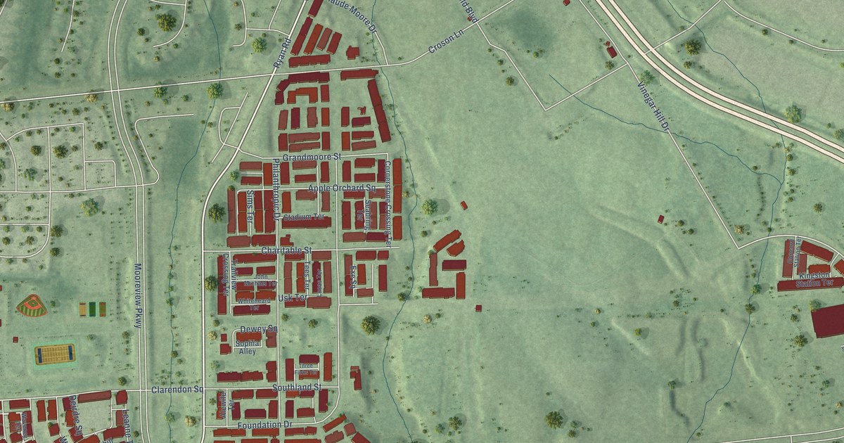
A detailed map of Moorefield, Virginia, showing every building in its true location, the roads by name, and shaded topographical relief.
Read More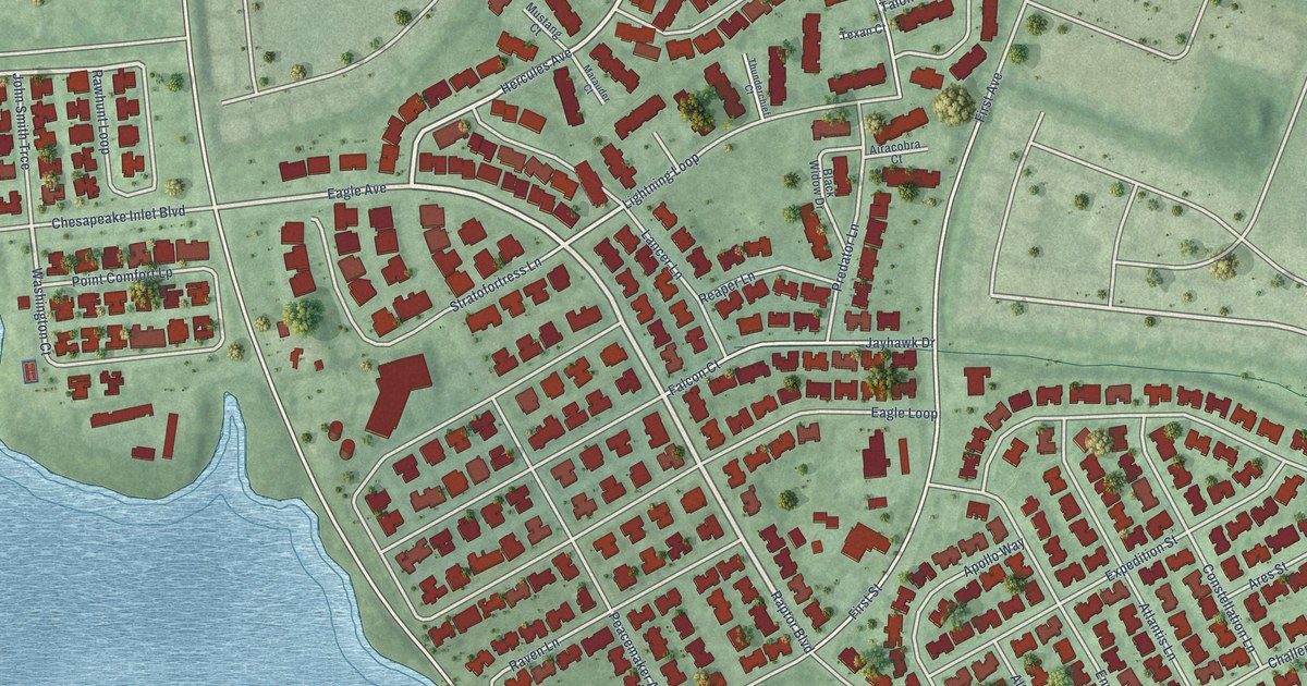
A detailed map of Bethel Manor, Virginia, showing every building in its true location, the roads by name, and shaded topographical relief.
Read More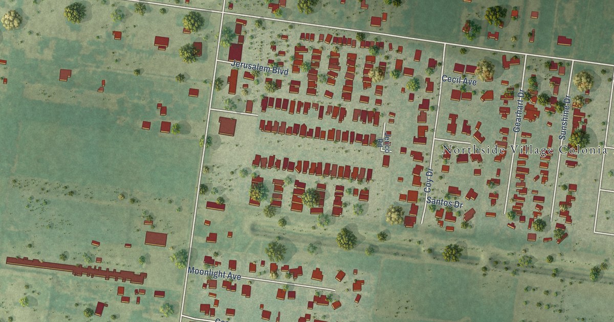
A detailed map of North Alamo, Texas, showing every building in its true location, the roads by name, and shaded topographical relief.
Read More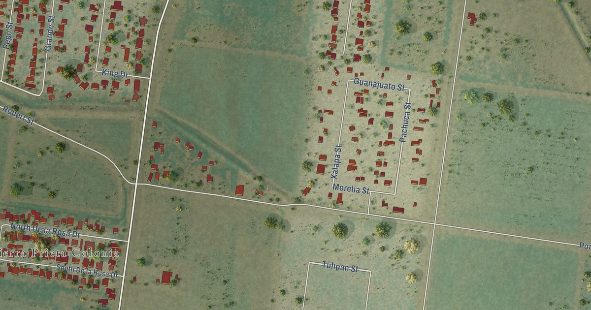
A detailed map of Scissors, Texas, showing every building in its true location, the roads by name, and shaded topographical relief.
Read More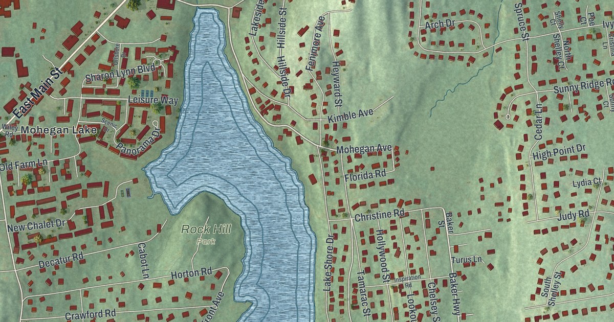
A detailed map of Lake Mohegan, New York, showing every building in its true location, the roads by name, and shaded topographical relief.
Read More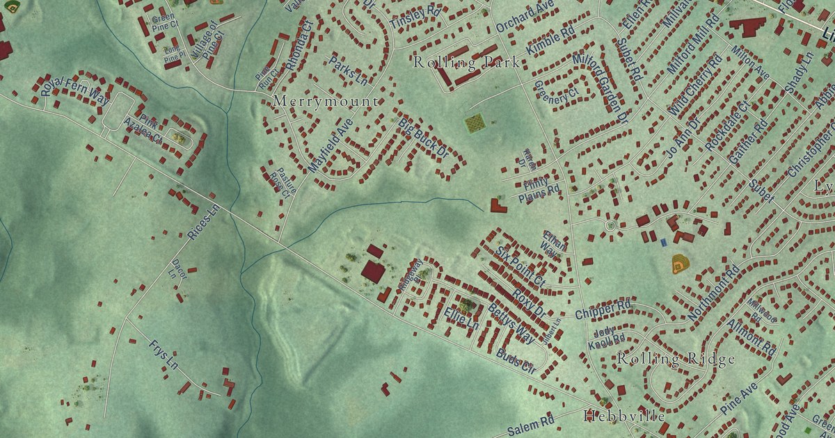
A detailed map of Milford Mill, Maryland, showing every building in its true location, the roads by name, and shaded topographical relief.
Read More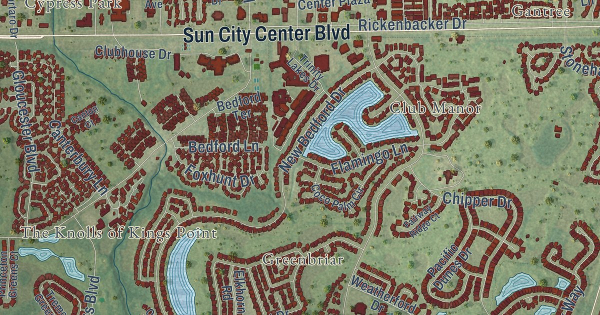
A detailed map of Sun City Center, Florida, showing every building in its true location, the roads by name, and shaded topographical relief.
Read More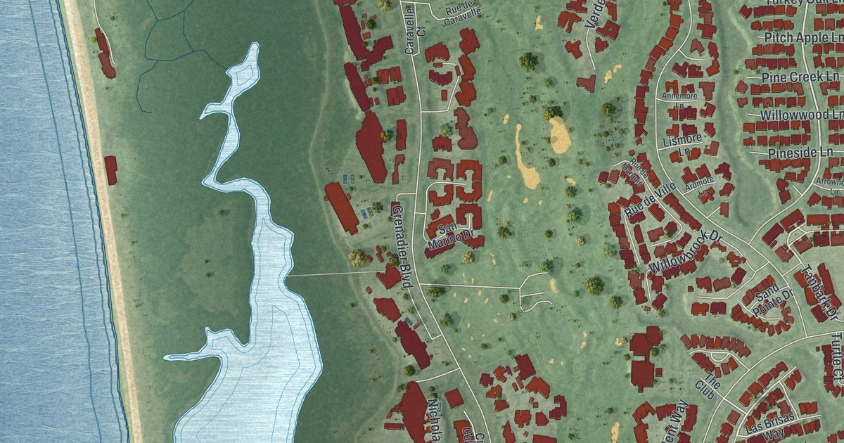
A detailed map of Pelican Bay, Florida, showing every building in its true location, the roads by name, and shaded topographical relief.
Read More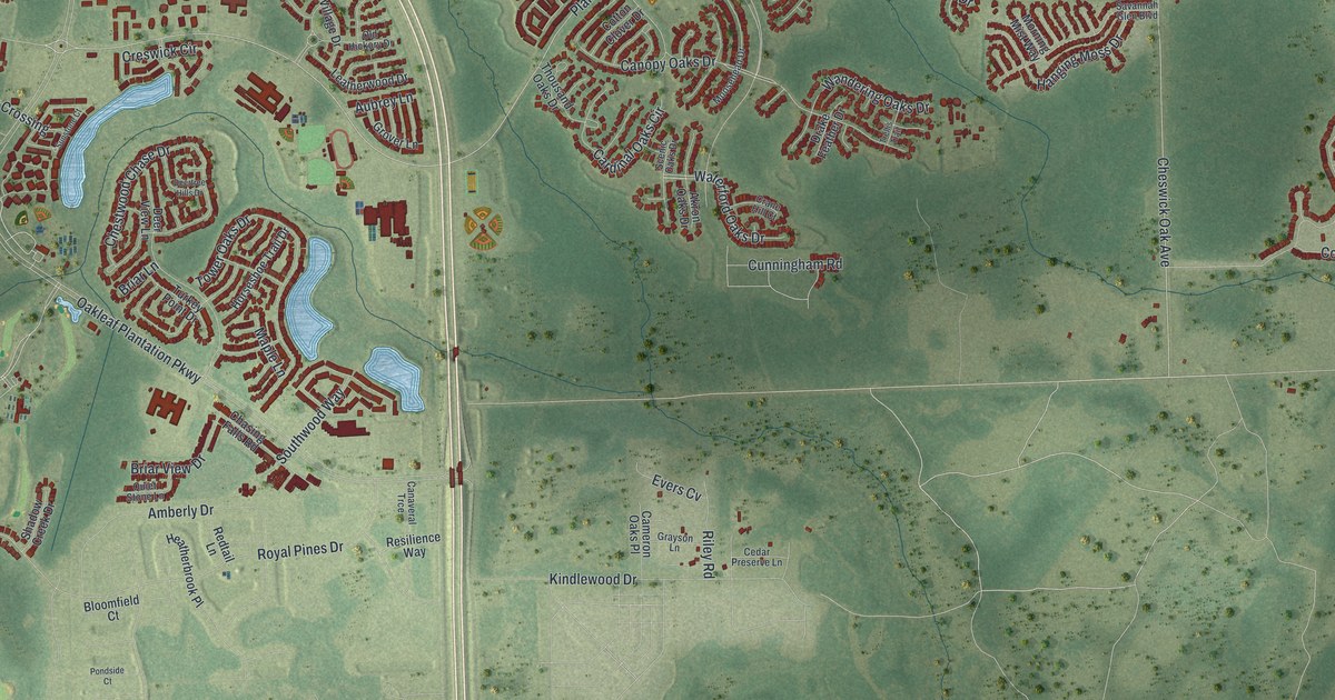
A detailed map of Oakleaf Plantation, Florida, showing every building in its true location, the roads by name, and shaded topographical relief.
Read More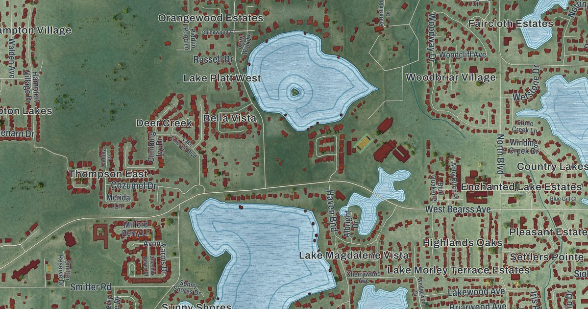
A detailed map of Lake Magdalene, Florida, showing every building in its true location, the roads by name, and shaded topographical relief.
Read More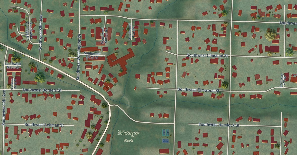
A detailed map of Metzger, Oregon, showing every building in its true location, the roads by name, and shaded topographical relief.
Read More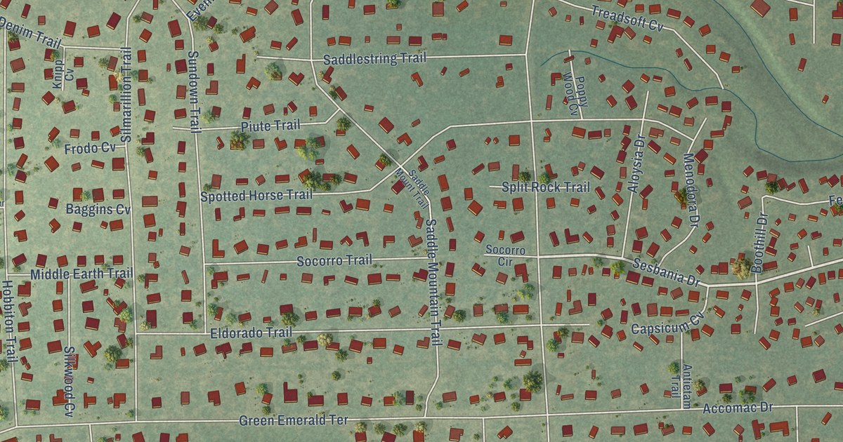
A detailed map of Shady Hollow, Texas, showing every building in its true location, the roads by name, and shaded topographical relief.
Read More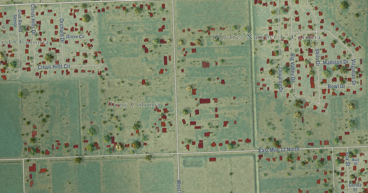
A detailed map of Olivarez, Texas, showing every building in its true location, the roads by name, and shaded topographical relief.
Read More















