Detailed Map of Sulphur Springs, Ohio
A detailed map of Sulphur Springs, Ohio, showing every building in its true location, the roads by name, and shaded topographical relief.
Read More
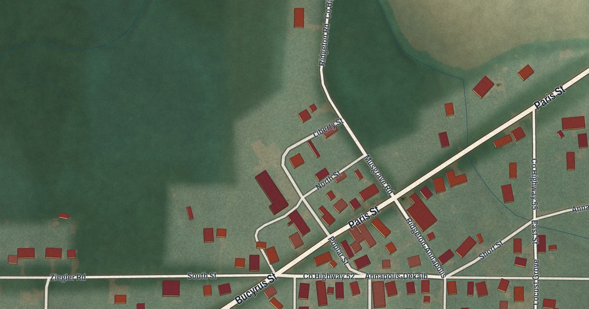
A detailed map of Sulphur Springs, Ohio, showing every building in its true location, the roads by name, and shaded topographical relief.
Read More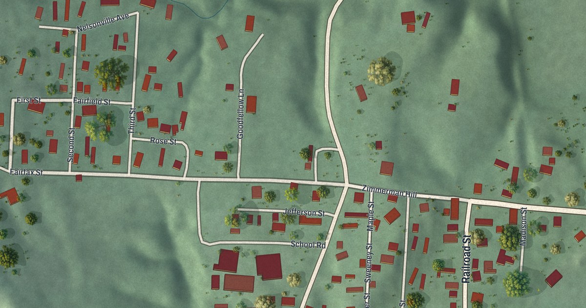
A detailed map of Stewart, Ohio, showing every building in its true location, the roads by name, and shaded topographical relief.
Read More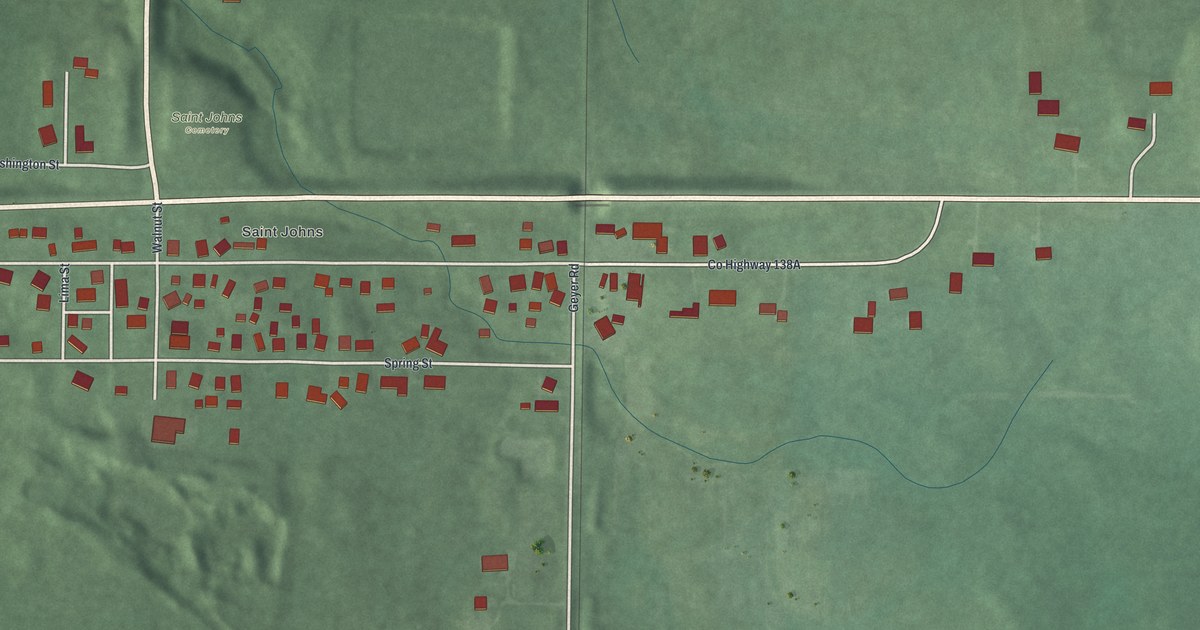
A detailed map of St. Johns, Ohio, showing every building in its true location, the roads by name, and shaded topographical relief.
Read More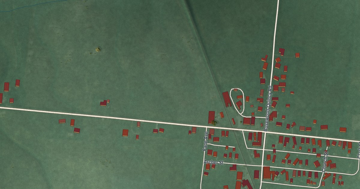
A detailed map of Rosewood, Ohio, showing every building in its true location, the roads by name, and shaded topographical relief.
Read More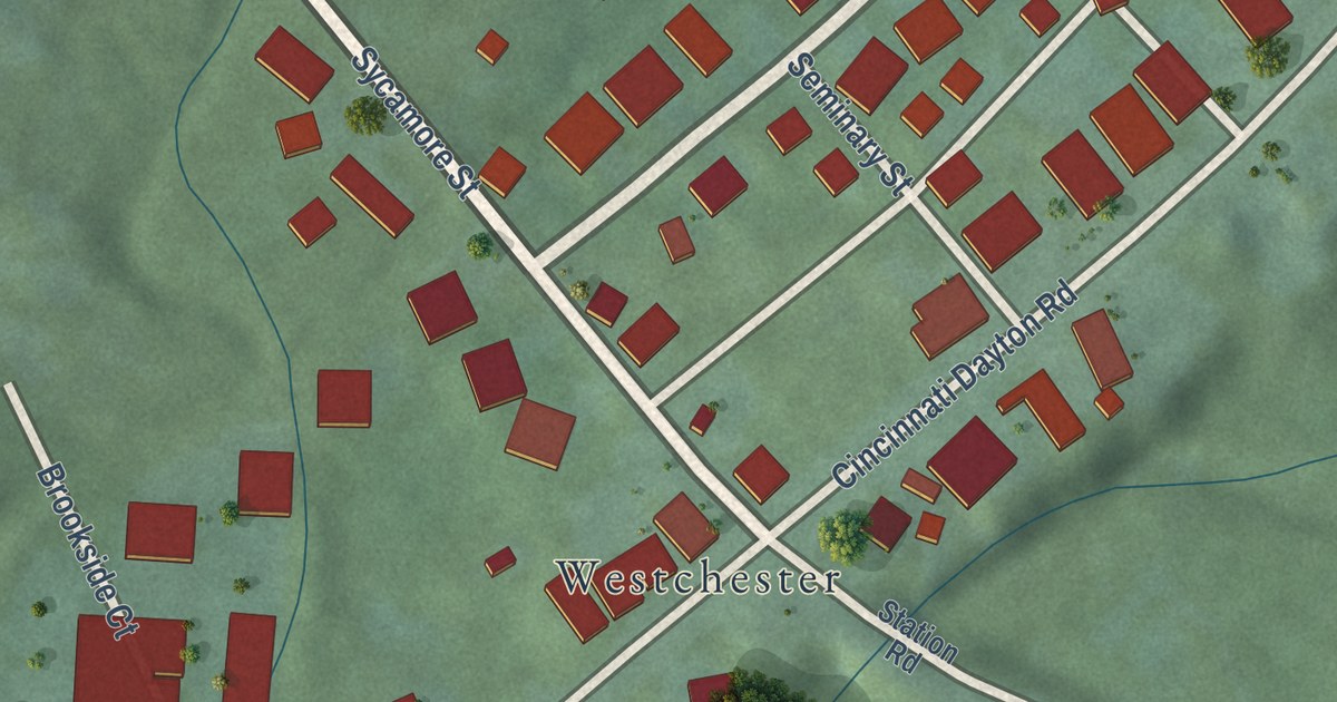
A detailed map of Olde West Chester, Ohio, showing every building in its true location, the roads by name, and shaded topographical relief.
Read More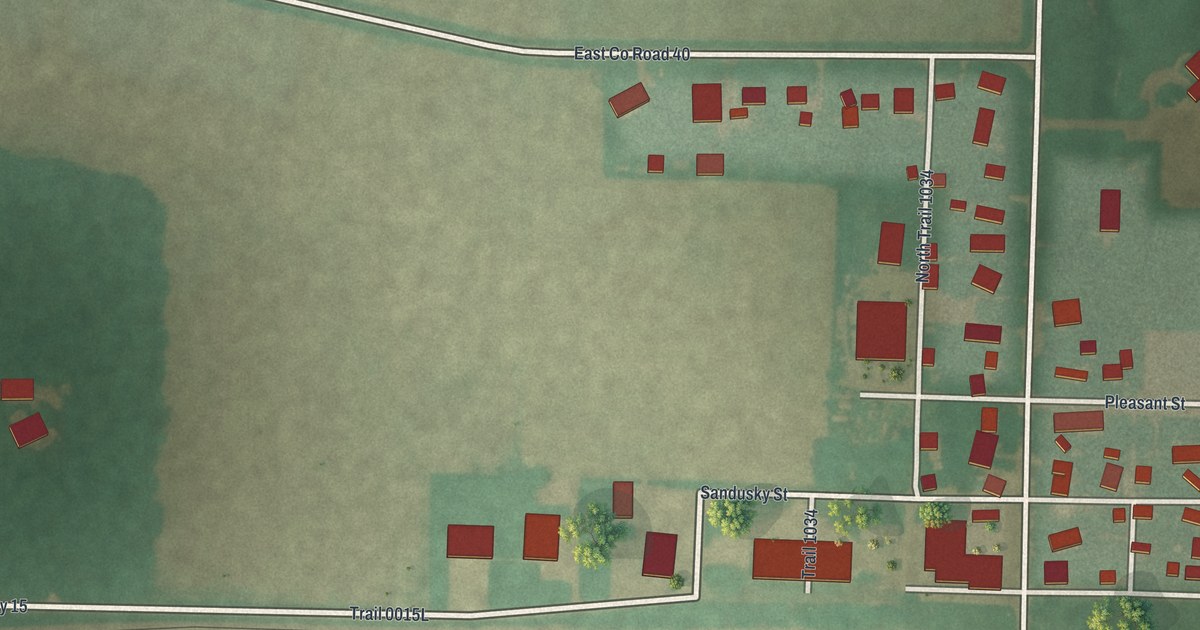
A detailed map of Old Fort, Ohio, showing every building in its true location, the roads by name, and shaded topographical relief.
Read More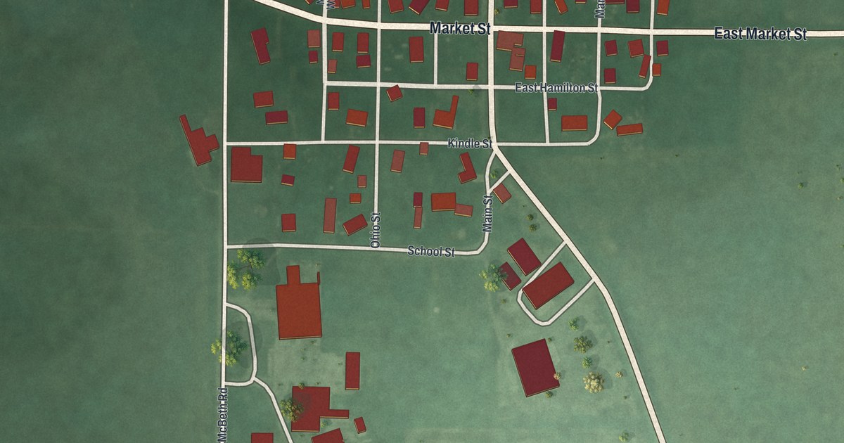
A detailed map of New Hampshire, Ohio, showing every building in its true location, the roads by name, and shaded topographical relief.
Read More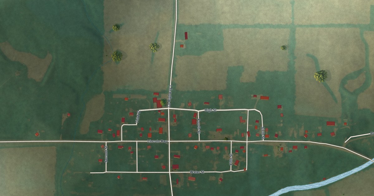
A detailed map of Oceola, Ohio, showing every building in its true location, the roads by name, and shaded topographical relief.
Read More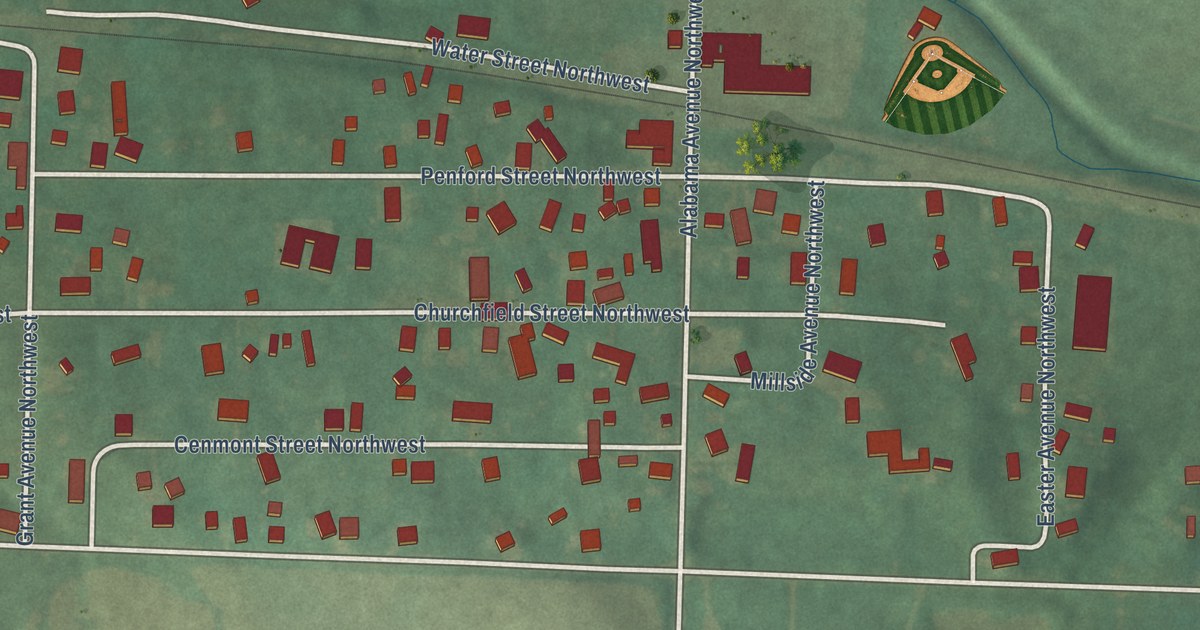
A detailed map of North Lawrence, Ohio, showing every building in its true location, the roads by name, and shaded topographical relief.
Read More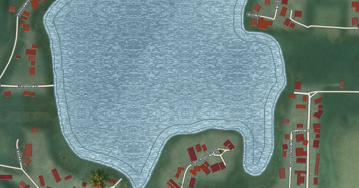
A detailed map of Nettle Lake, Ohio, showing every building in its true location, the roads by name, and shaded topographical relief.
Read More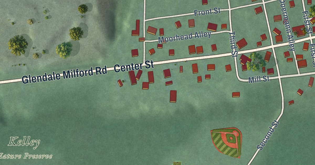
A detailed map of Miamiville, Ohio, showing every building in its true location, the roads by name, and shaded topographical relief.
Read More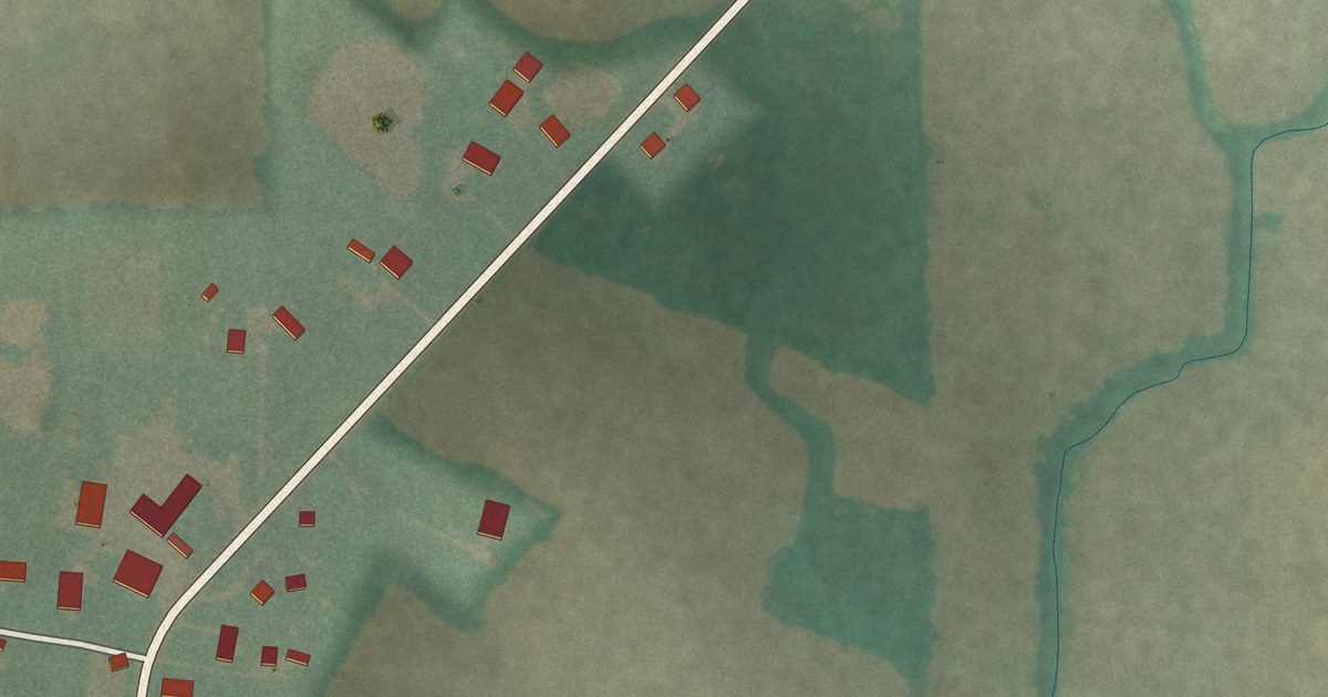
A detailed map of Melmore, Ohio, showing every building in its true location, the roads by name, and shaded topographical relief.
Read More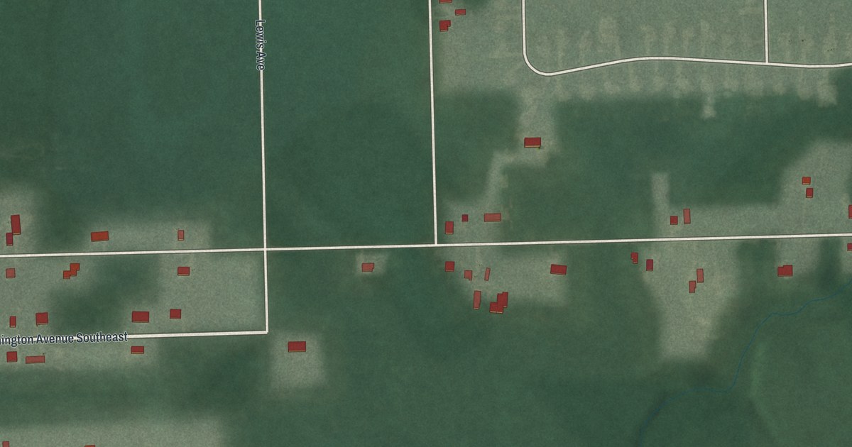
A detailed map of Maplewood Park, Ohio, showing every building in its true location, the roads by name, and shaded topographical relief.
Read More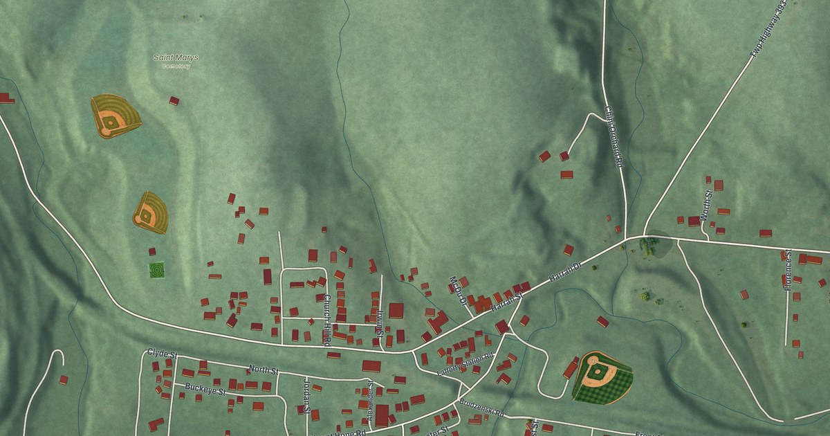
A detailed map of Lafferty, Ohio, showing every building in its true location, the roads by name, and shaded topographical relief.
Read More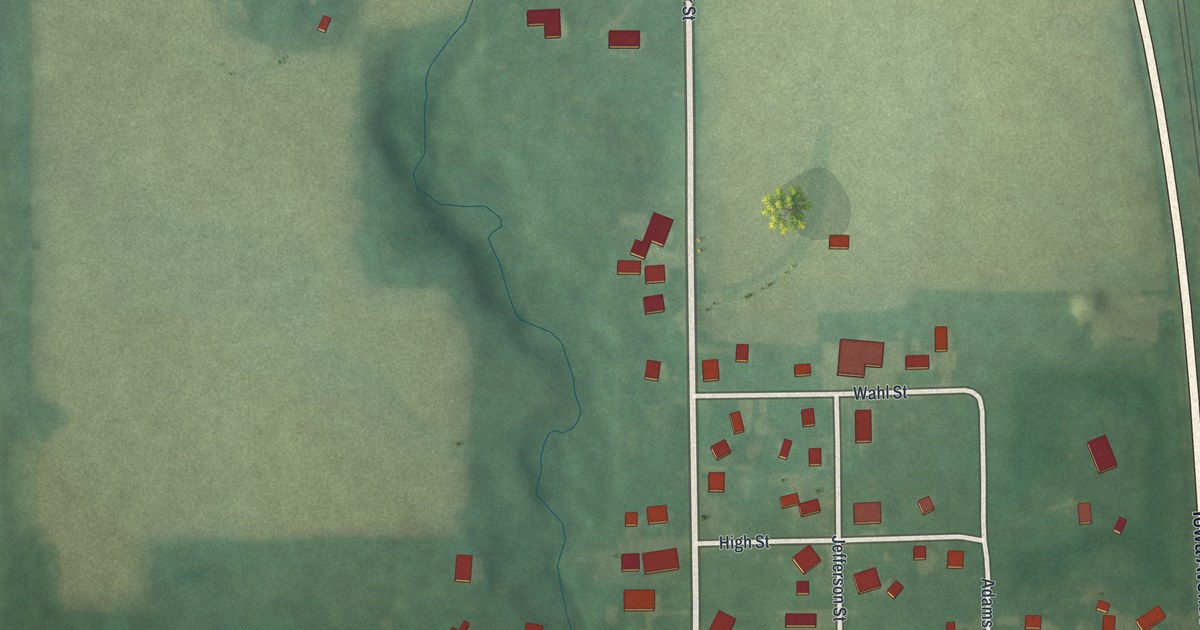
A detailed map of Limaville, Ohio, showing every building in its true location, the roads by name, and shaded topographical relief.
Read More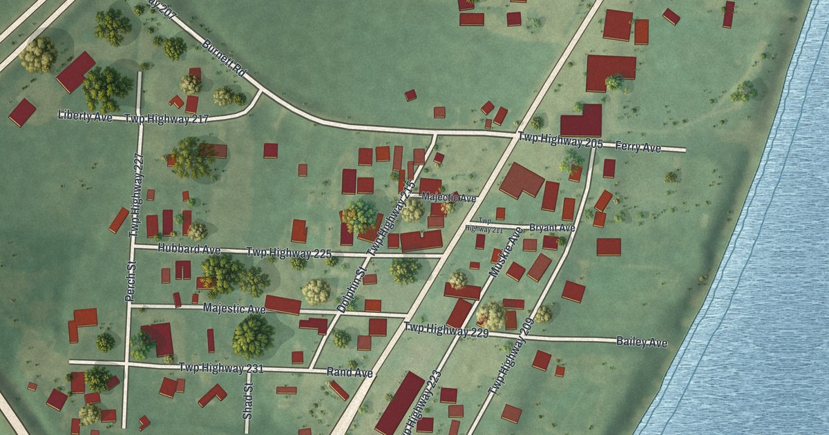
A detailed map of Kanauga, Ohio, showing every building in its true location, the roads by name, and shaded topographical relief.
Read More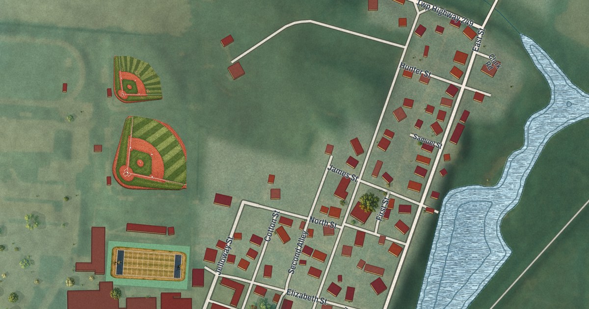
A detailed map of Howard, Ohio, showing every building in its true location, the roads by name, and shaded topographical relief.
Read More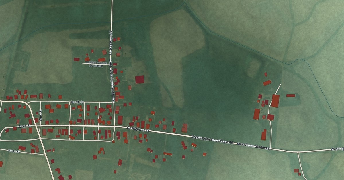
A detailed map of Good Hope, Ohio, showing every building in its true location, the roads by name, and shaded topographical relief.
Read More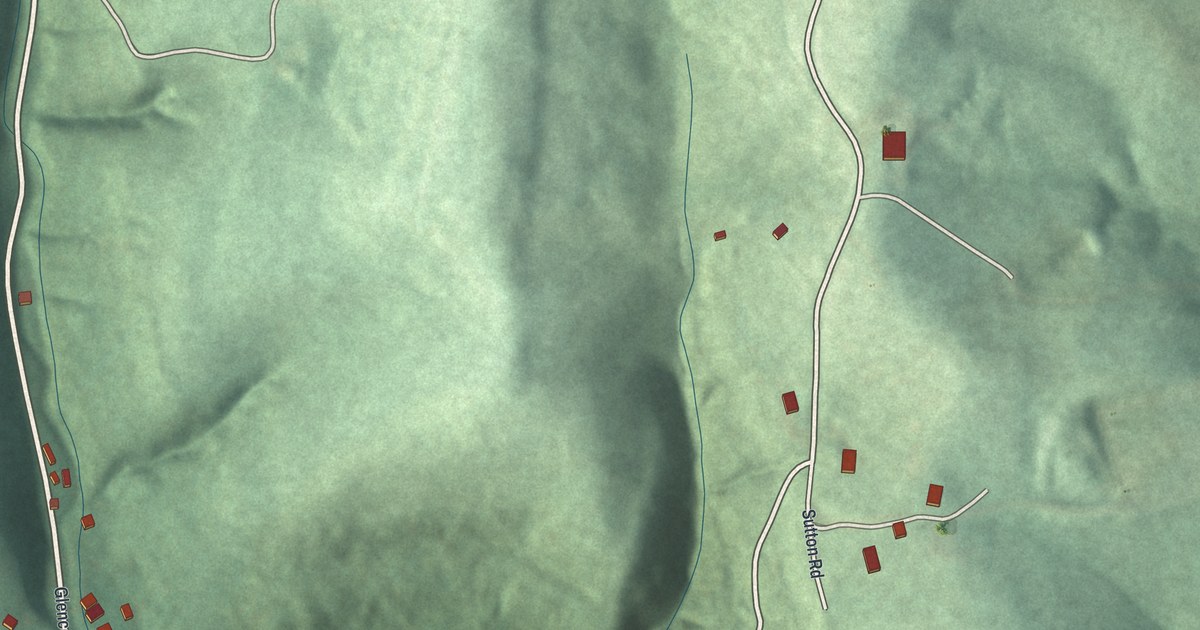
A detailed map of Glencoe, Ohio, showing every building in its true location, the roads by name, and shaded topographical relief.
Read More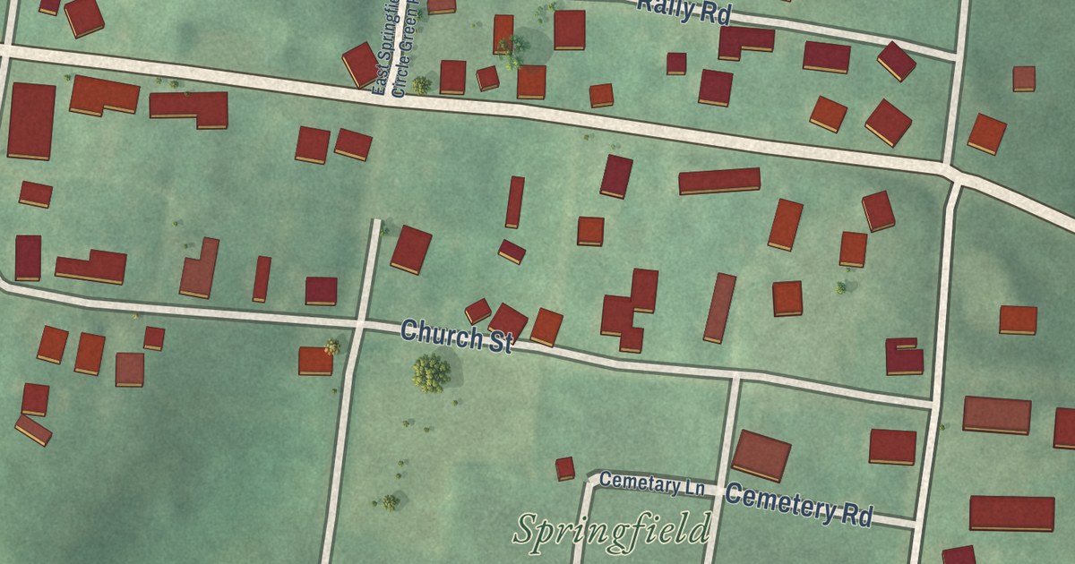
A detailed map of East Springfield, Ohio, showing every building in its true location, the roads by name, and shaded topographical relief.
Read More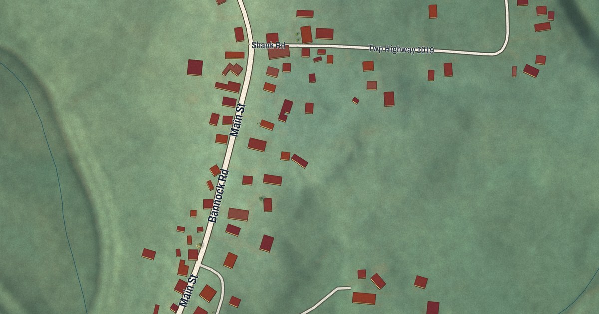
A detailed map of Bannock, Ohio, showing every building in its true location, the roads by name, and shaded topographical relief.
Read More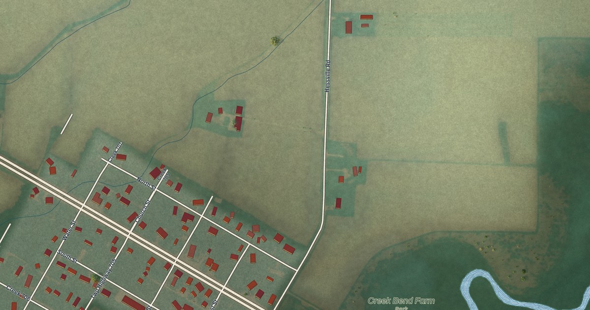
A detailed map of Hessville, Ohio, showing every building in its true location, the roads by name, and shaded topographical relief.
Read More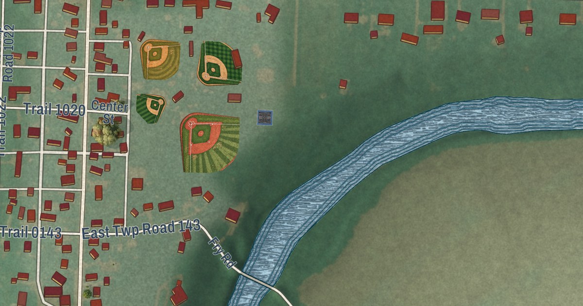
A detailed map of Fort Seneca, Ohio, showing every building in its true location, the roads by name, and shaded topographical relief.
Read More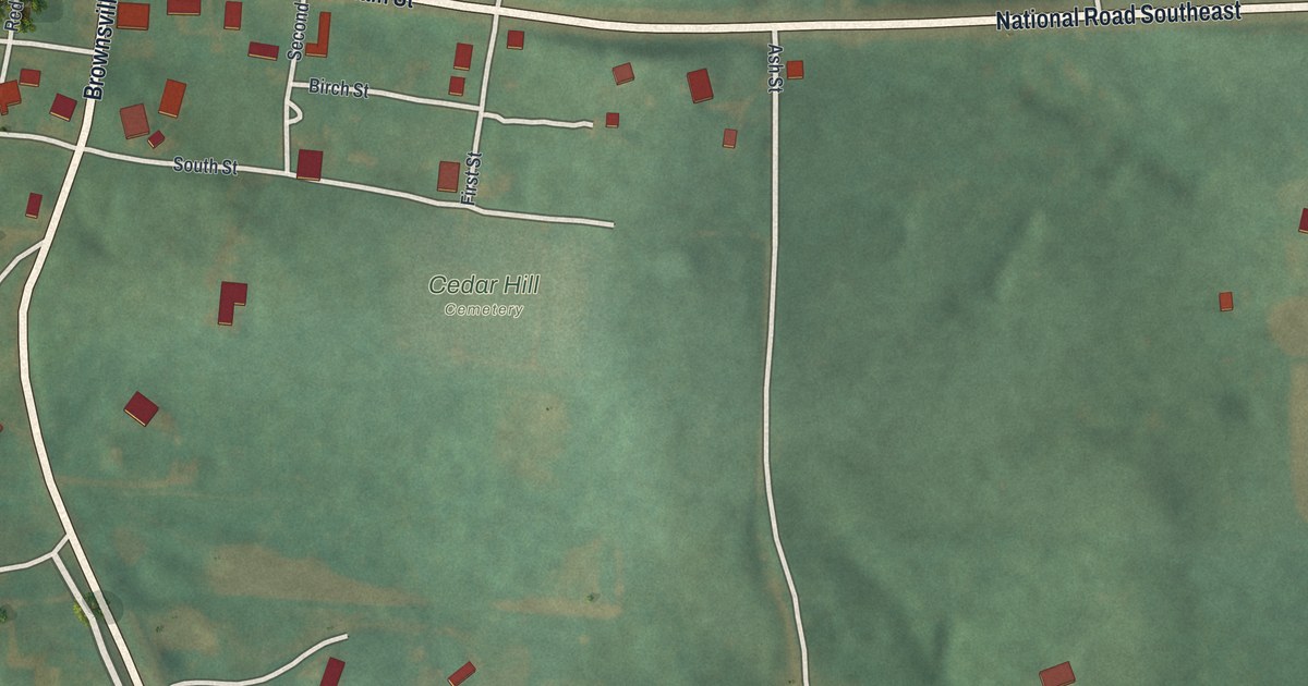
A detailed map of Brownsville, Ohio, showing every building in its true location, the roads by name, and shaded topographical relief.
Read More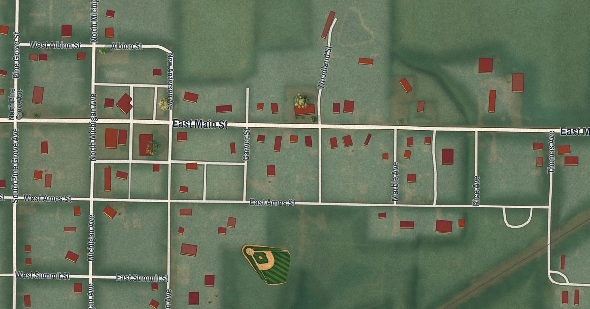
A detailed map of Alvordton, Ohio, showing every building in its true location, the roads by name, and shaded topographical relief.
Read More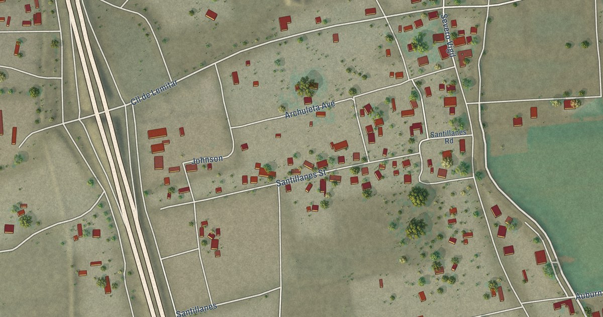
A detailed map of Lemitar, New Mexico, showing every building in its true location, the roads by name, and shaded topographical relief.
Read More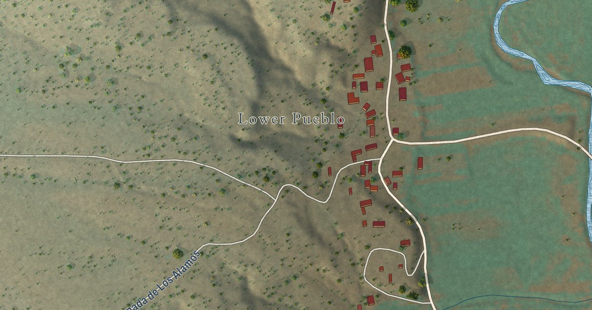
A detailed map of Pueblo, New Mexico, showing every building in its true location, the roads by name, and shaded topographical relief.
Read More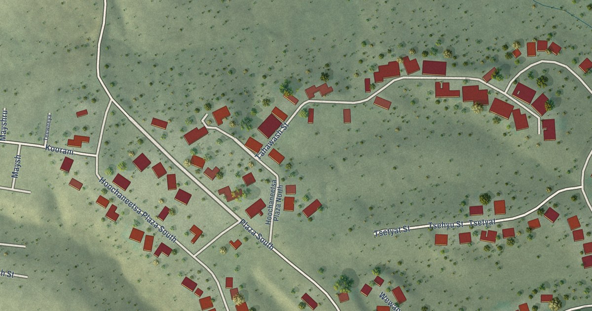
A detailed map of Cochiti Lake, New Mexico, showing every building in its true location, the roads by name, and shaded topographical relief.
Read More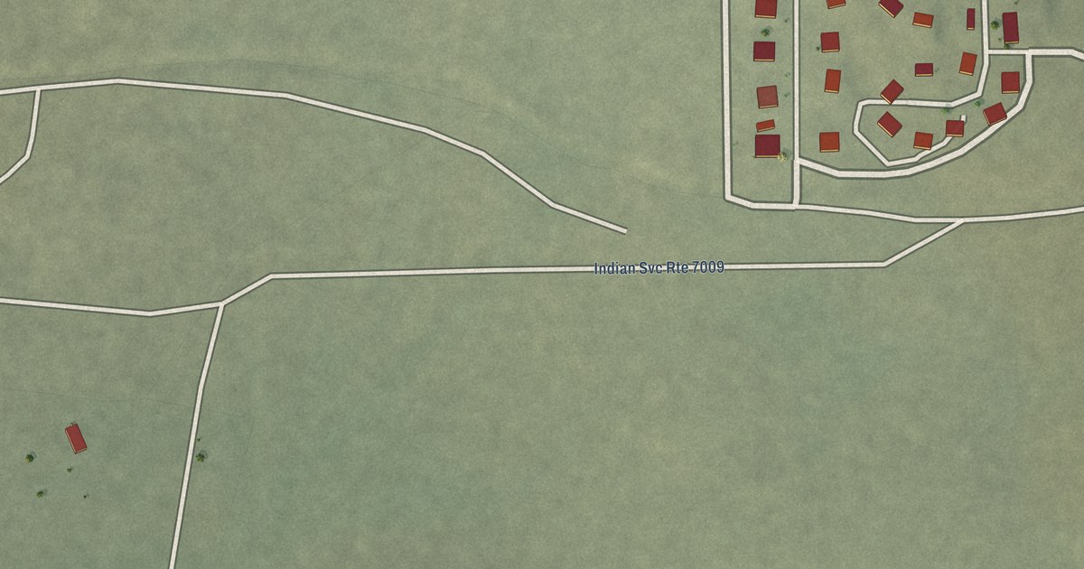
A detailed map of Becenti, New Mexico, showing every building in its true location, the roads by name, and shaded topographical relief.
Read More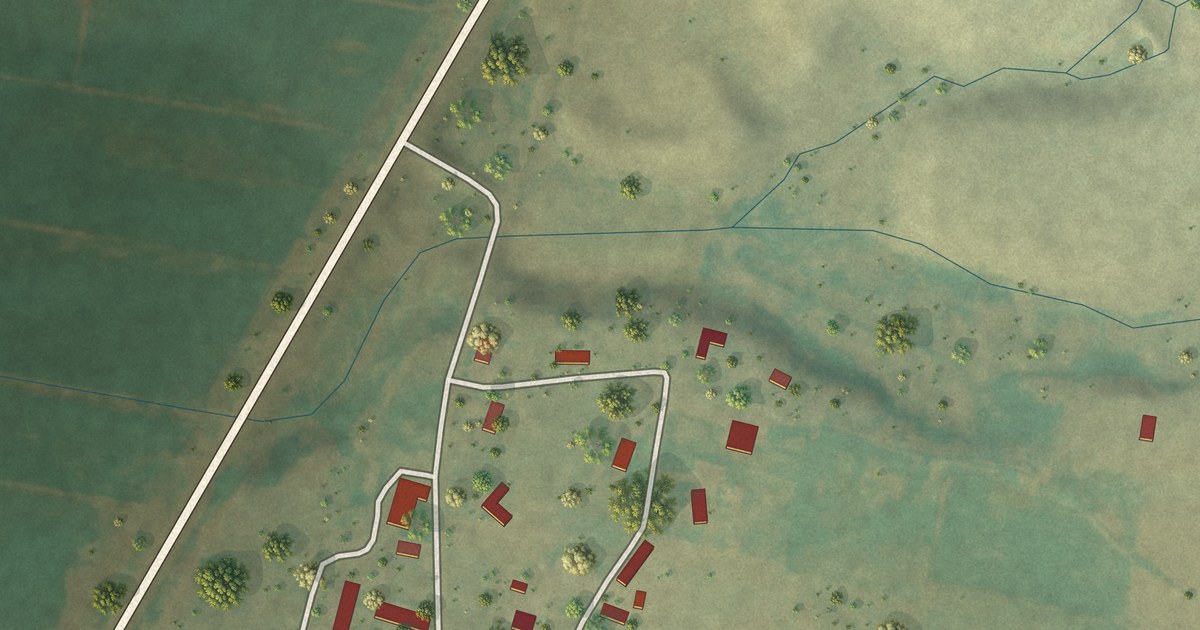
A detailed map of Brazos, New Mexico, showing every building in its true location, the roads by name, and shaded topographical relief.
Read More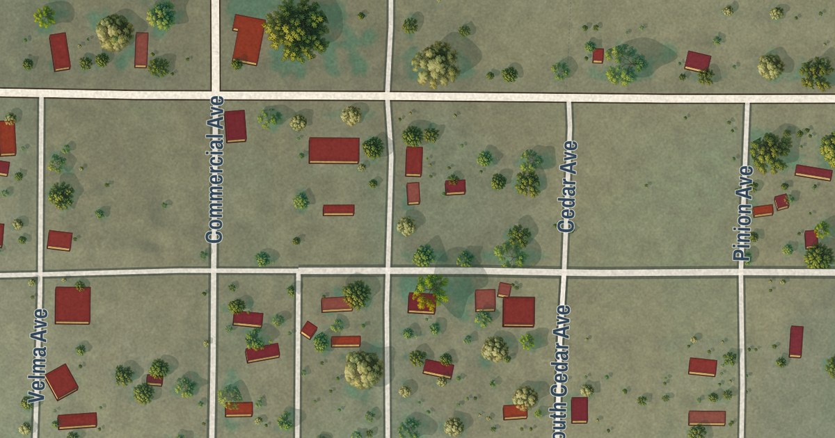
A detailed map of Capulin, New Mexico, showing every building in its true location, the roads by name, and shaded topographical relief.
Read More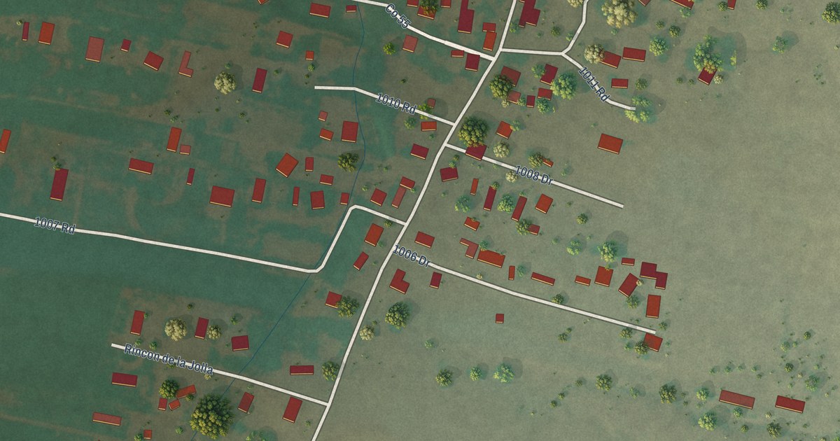
A detailed map of Alcalde, New Mexico, showing every building in its true location, the roads by name, and shaded topographical relief.
Read More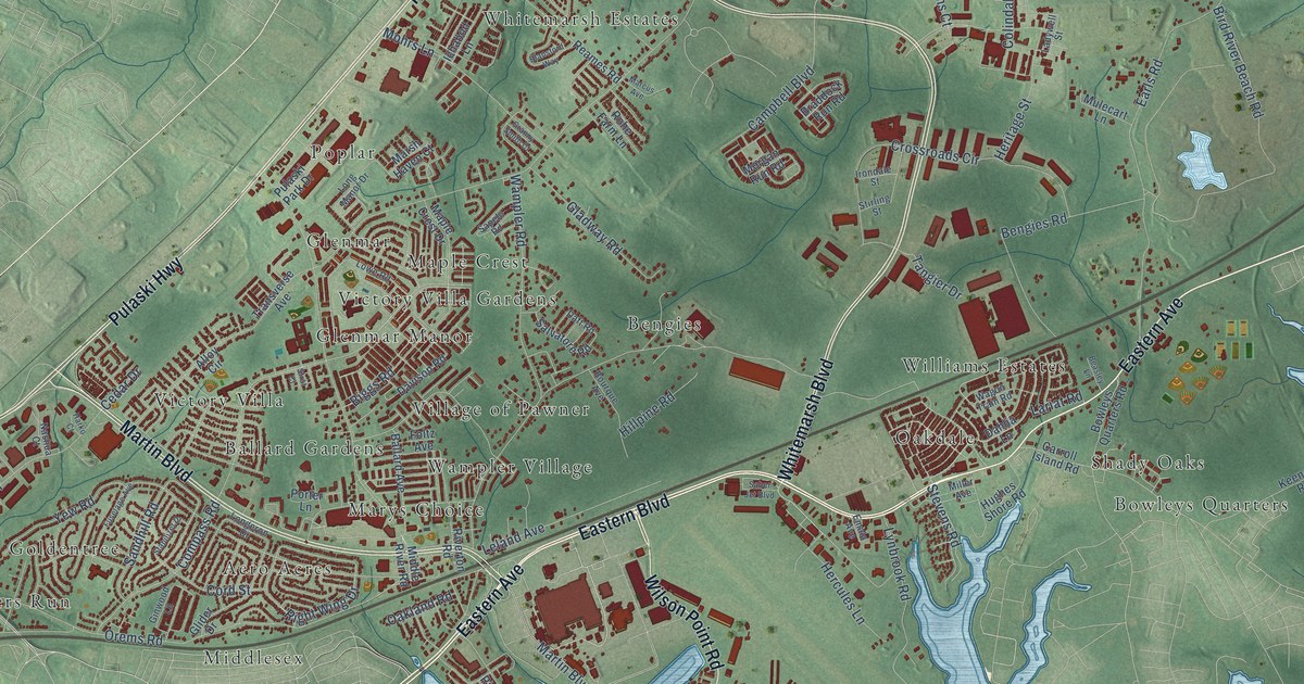
A detailed map of Middle River, Maryland, showing every building in its true location, the roads by name, and shaded topographical relief.
Read More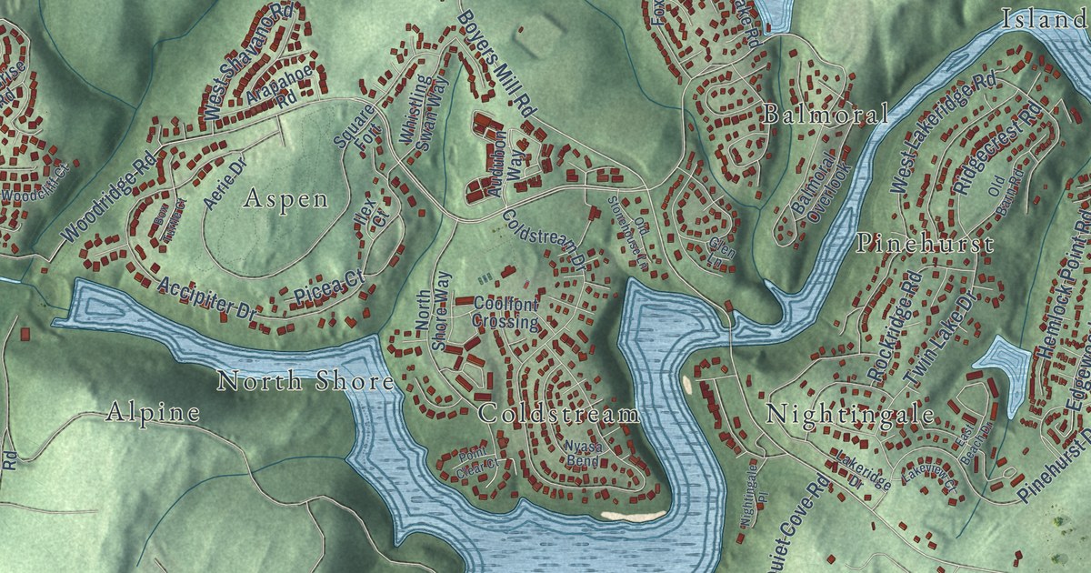
A detailed map of Linganore, Maryland, showing every building in its true location, the roads by name, and shaded topographical relief.
Read More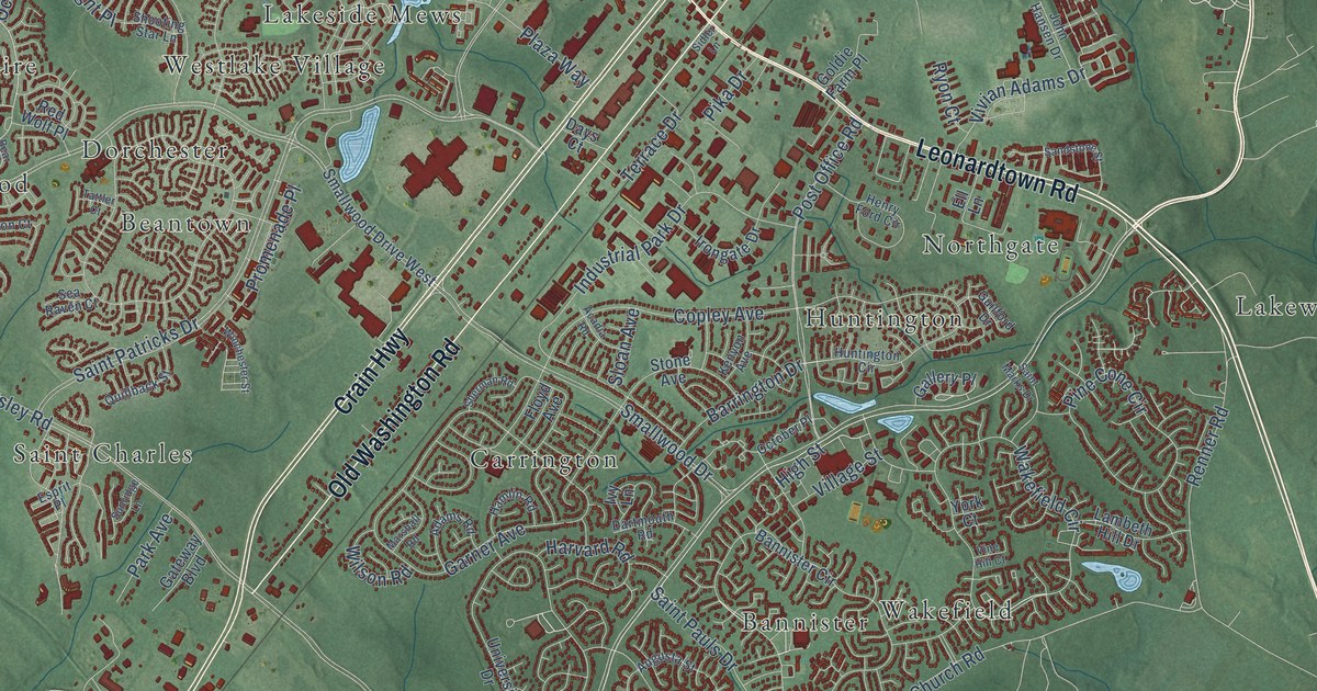
A detailed map of Waldorf, Maryland, showing every building in its true location, the roads by name, and shaded topographical relief.
Read More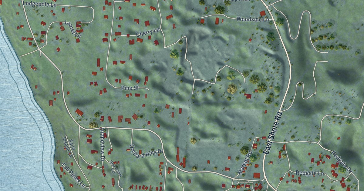
A detailed map of Woods Bay, Montana, showing every building in its true location, the roads by name, and shaded topographical relief.
Read More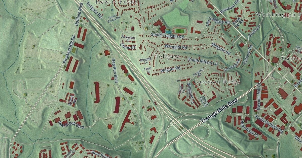
A detailed map of Owings Mills, Maryland, showing every building in its true location, the roads by name, and shaded topographical relief.
Read More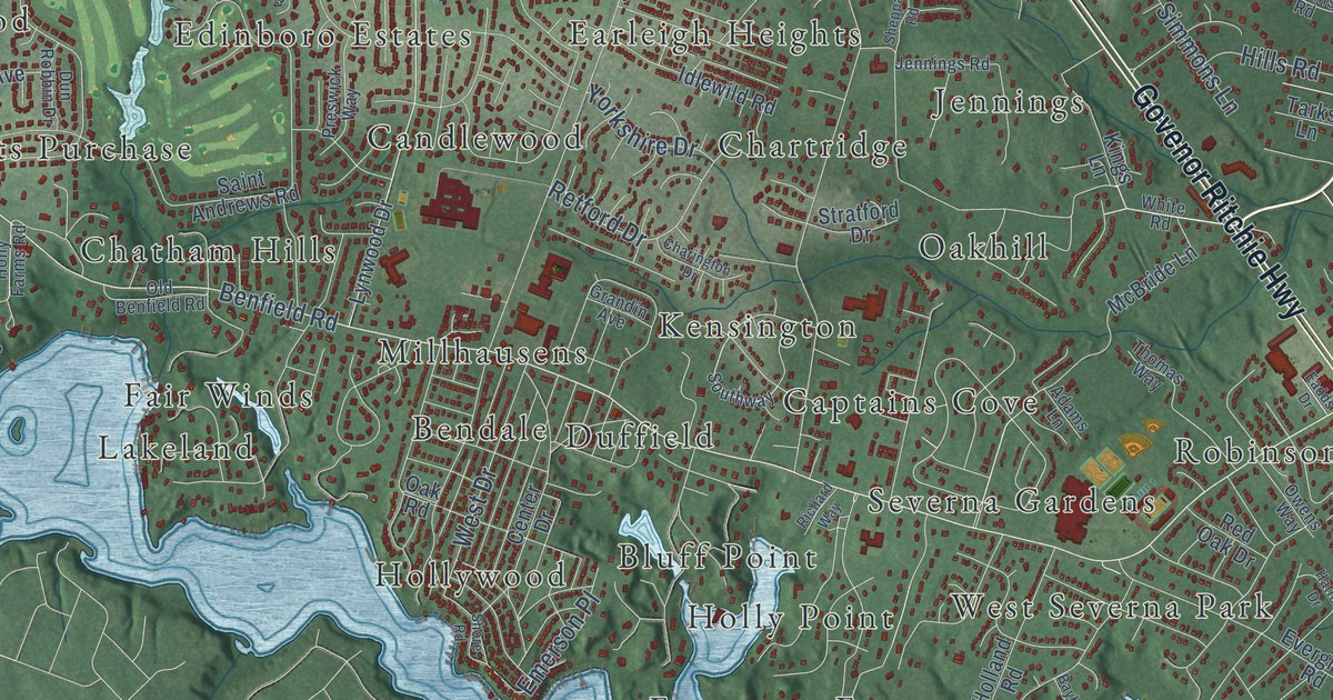
A detailed map of Severna Park, Maryland, showing every building in its true location, the roads by name, and shaded topographical relief.
Read More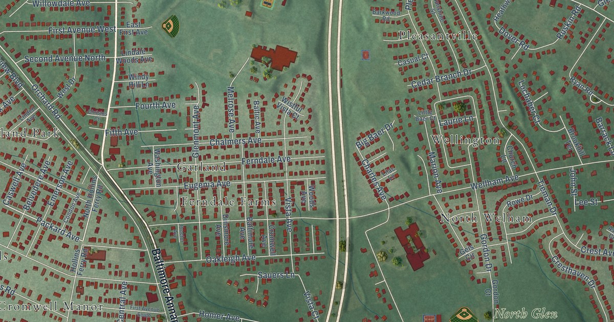
A detailed map of Ferndale, Maryland, showing every building in its true location, the roads by name, and shaded topographical relief.
Read More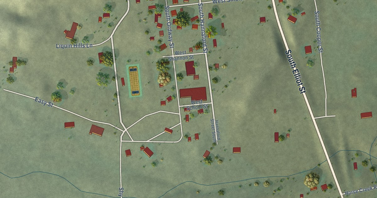
A detailed map of Wilsall, Montana, showing every building in its true location, the roads by name, and shaded topographical relief.
Read More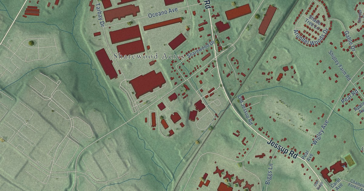
A detailed map of Jessup, Maryland, showing every building in its true location, the roads by name, and shaded topographical relief.
Read More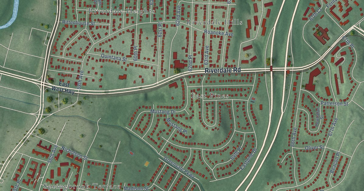
A detailed map of East Riverdale, Maryland, showing every building in its true location, the roads by name, and shaded topographical relief.
Read More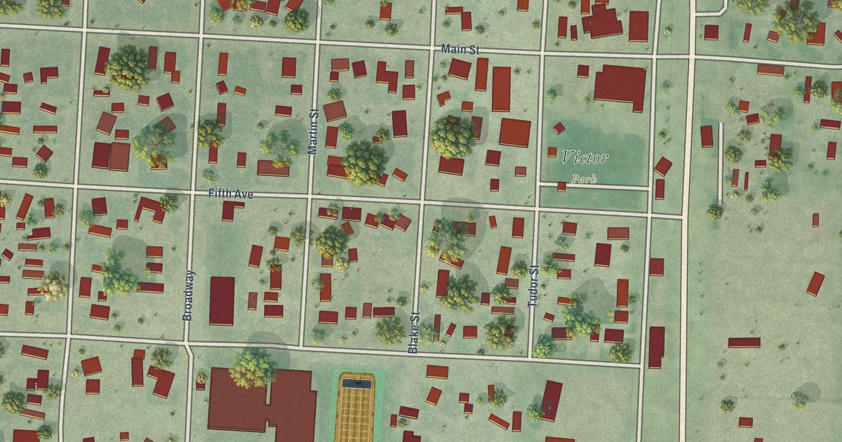
A detailed map of Victor, Montana, showing every building in its true location, the roads by name, and shaded topographical relief.
Read More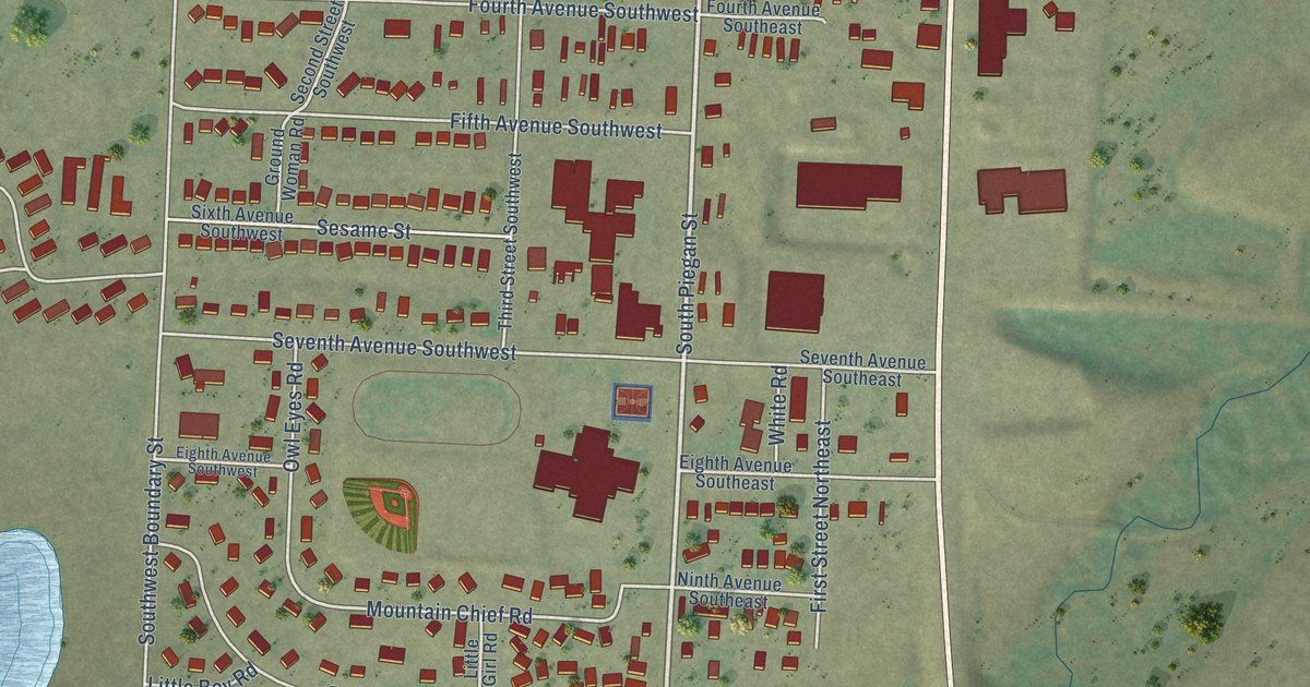
A detailed map of South Browning, Montana, showing every building in its true location, the roads by name, and shaded topographical relief.
Read More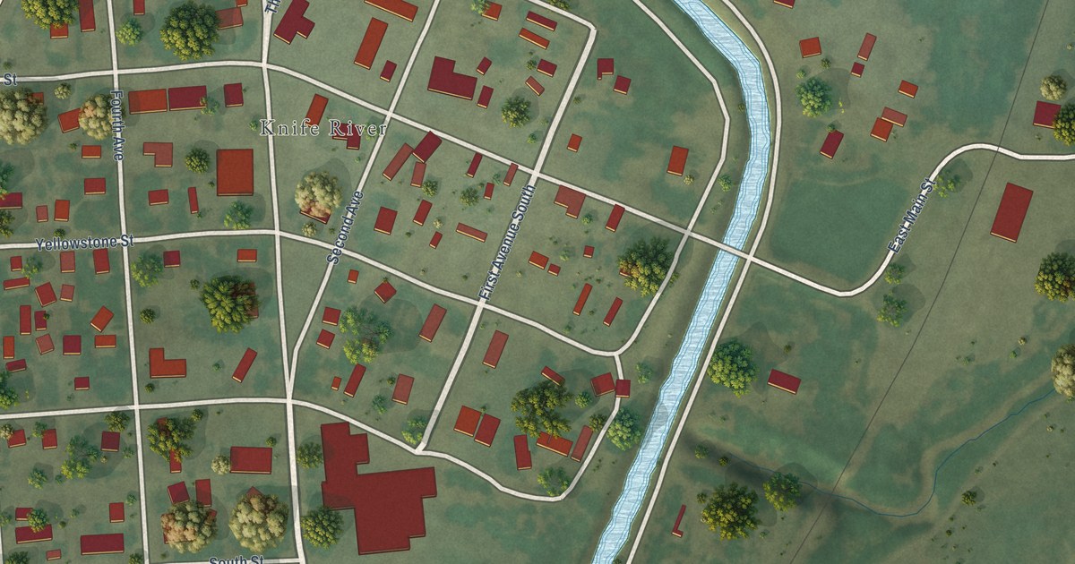
A detailed map of Savage, Montana, showing every building in its true location, the roads by name, and shaded topographical relief.
Read More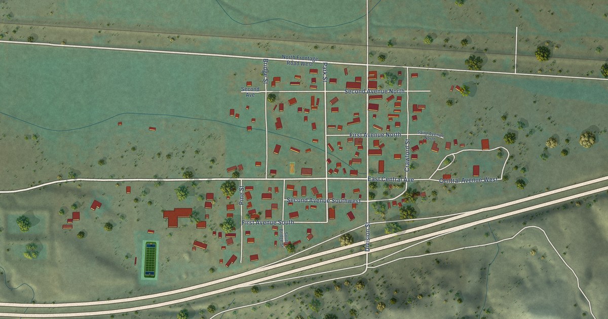
A detailed map of Reed Point, Montana, showing every building in its true location, the roads by name, and shaded topographical relief.
Read More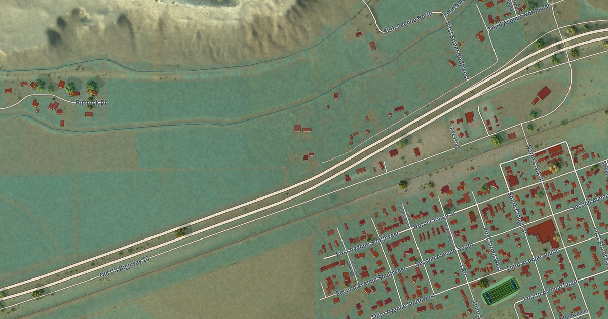
A detailed map of Park City, Montana, showing every building in its true location, the roads by name, and shaded topographical relief.
Read More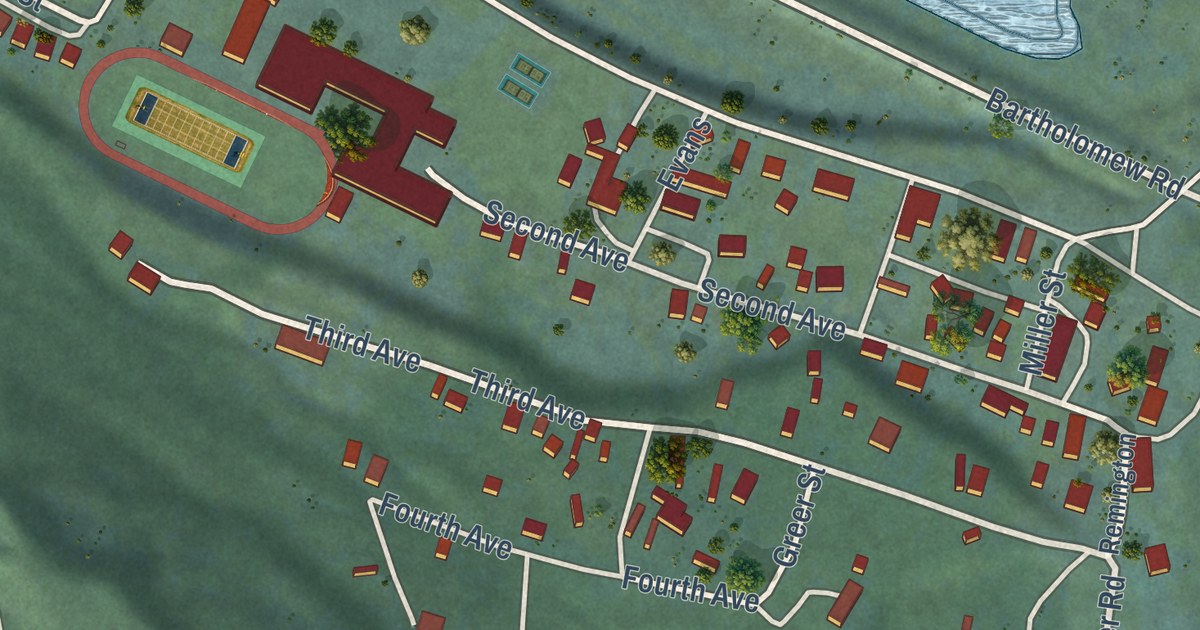
A detailed map of Noxon, Montana, showing every building in its true location, the roads by name, and shaded topographical relief.
Read More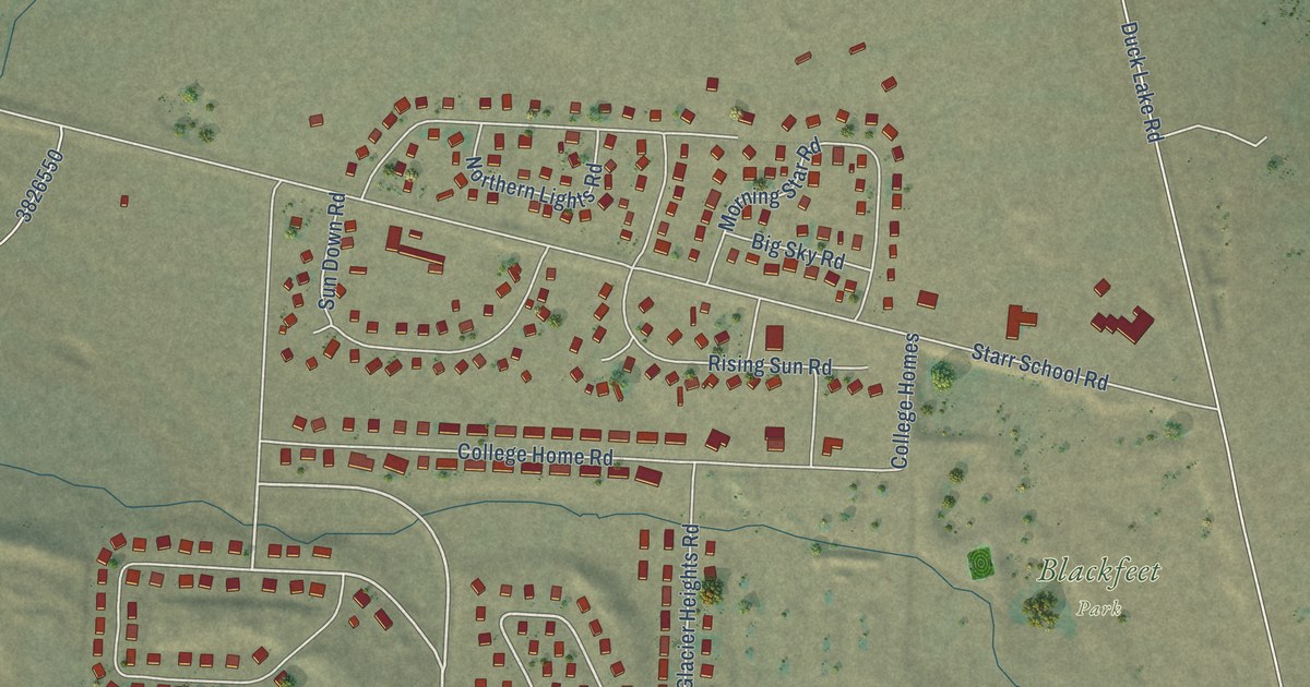
A detailed map of North Browning, Montana, showing every building in its true location, the roads by name, and shaded topographical relief.
Read More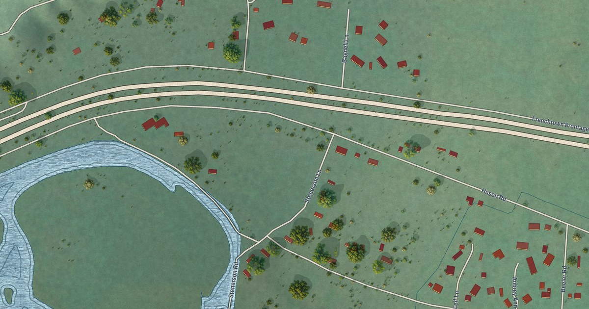
A detailed map of Huson, Montana, showing every building in its true location, the roads by name, and shaded topographical relief.
Read More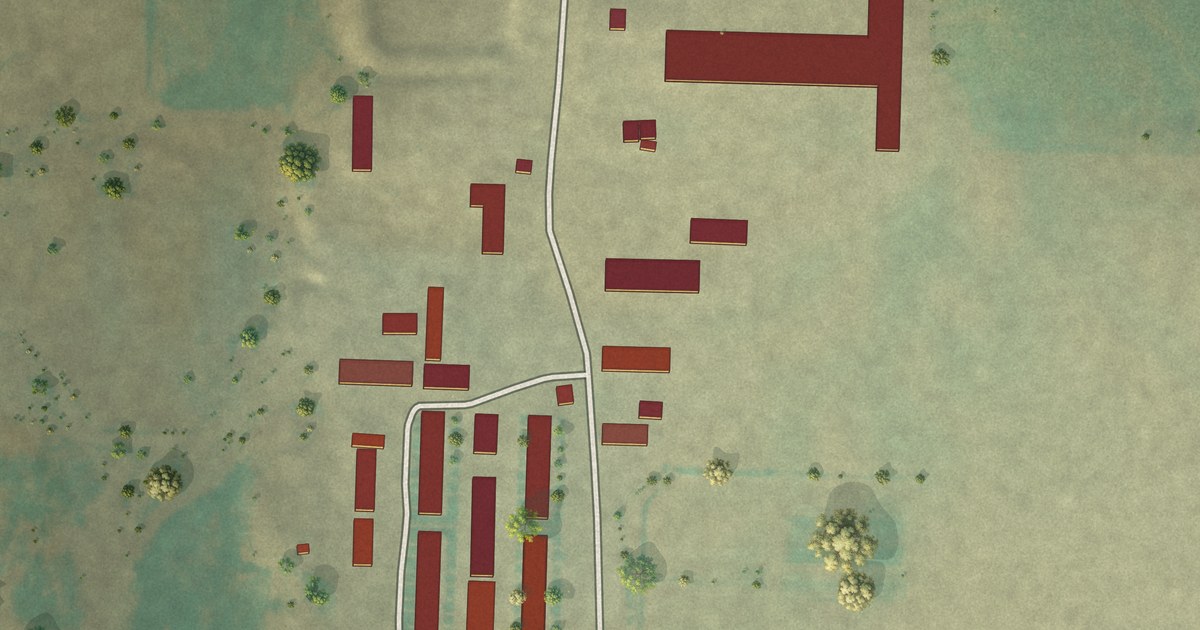
A detailed map of New Miami Colony, Montana, showing every building in its true location, the roads by name, and shaded topographical relief.
Read More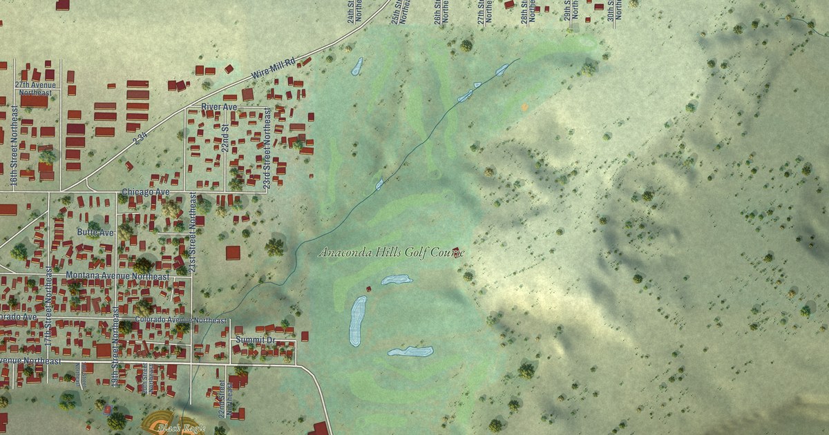
A detailed map of Black Eagle, Montana, showing every building in its true location, the roads by name, and shaded topographical relief.
Read More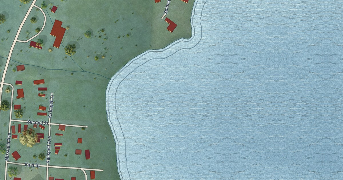
A detailed map of Elmo, Montana, showing every building in its true location, the roads by name, and shaded topographical relief.
Read More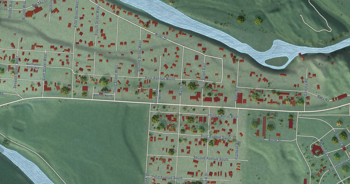
A detailed map of Hungry Horse, Montana, showing every building in its true location, the roads by name, and shaded topographical relief.
Read More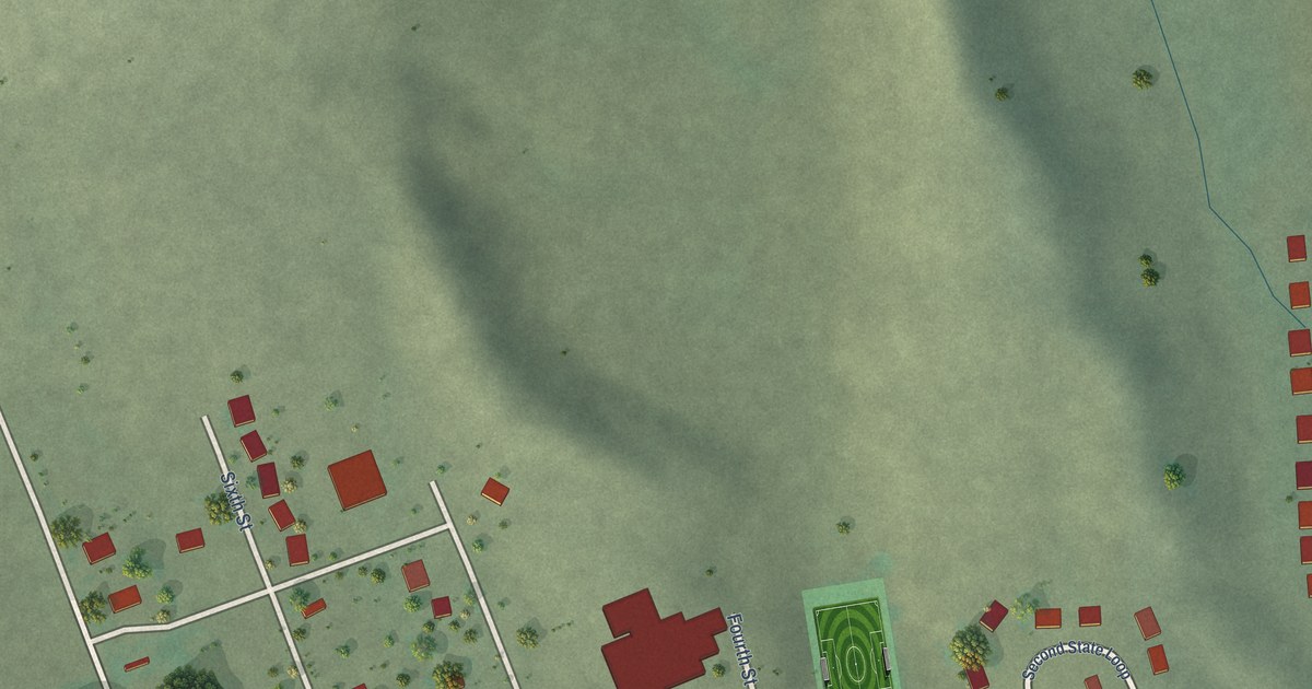
A detailed map of Brockton, Montana, showing every building in its true location, the roads by name, and shaded topographical relief.
Read More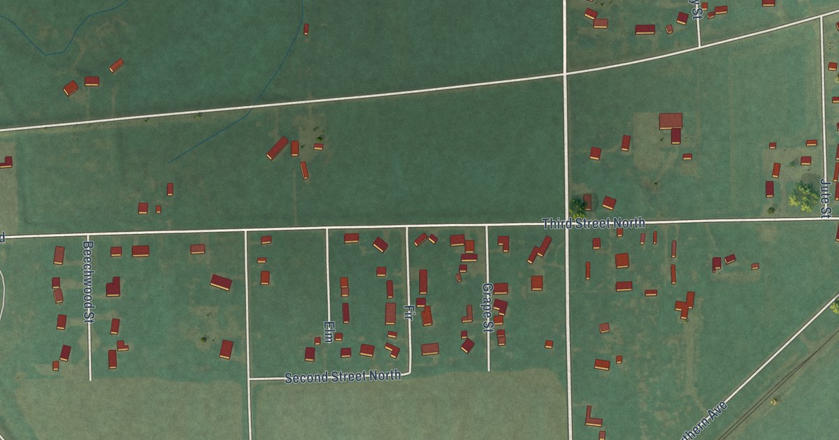
A detailed map of Huntley, Montana, showing every building in its true location, the roads by name, and shaded topographical relief.
Read More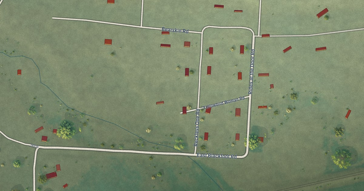
A detailed map of Blackfoot, Montana, showing every building in its true location, the roads by name, and shaded topographical relief.
Read More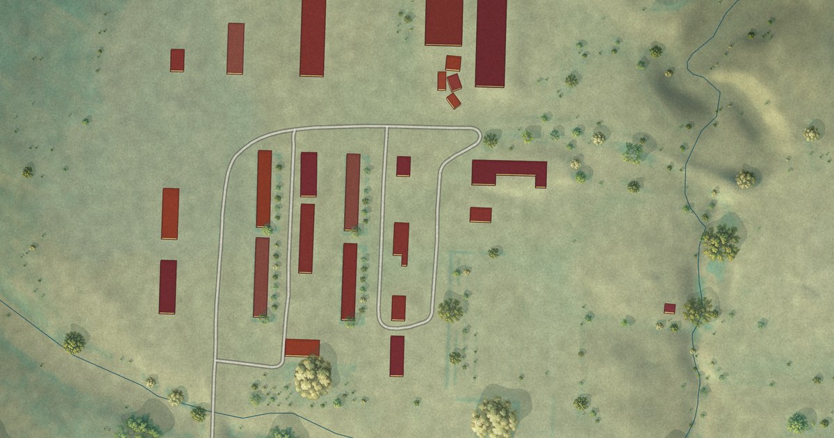
A detailed map of Camrose Colony, Montana, showing every building in its true location, the roads by name, and shaded topographical relief.
Read More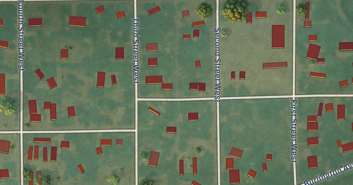
A detailed map of Ballantine, Montana, showing every building in its true location, the roads by name, and shaded topographical relief.
Read More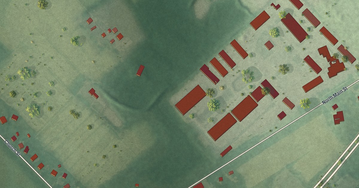
A detailed map of Windsor, New Jersey, showing every building in its true location, the roads by name, and shaded topographical relief.
Read More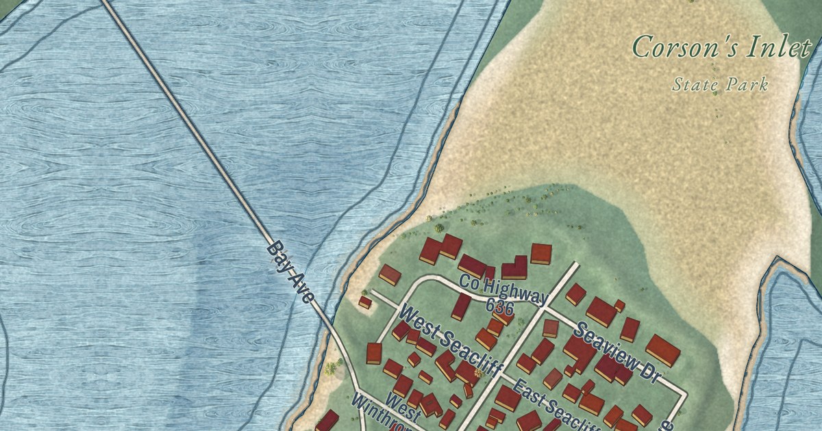
A detailed map of Strathmere, New Jersey, showing every building in its true location, the roads by name, and shaded topographical relief.
Read More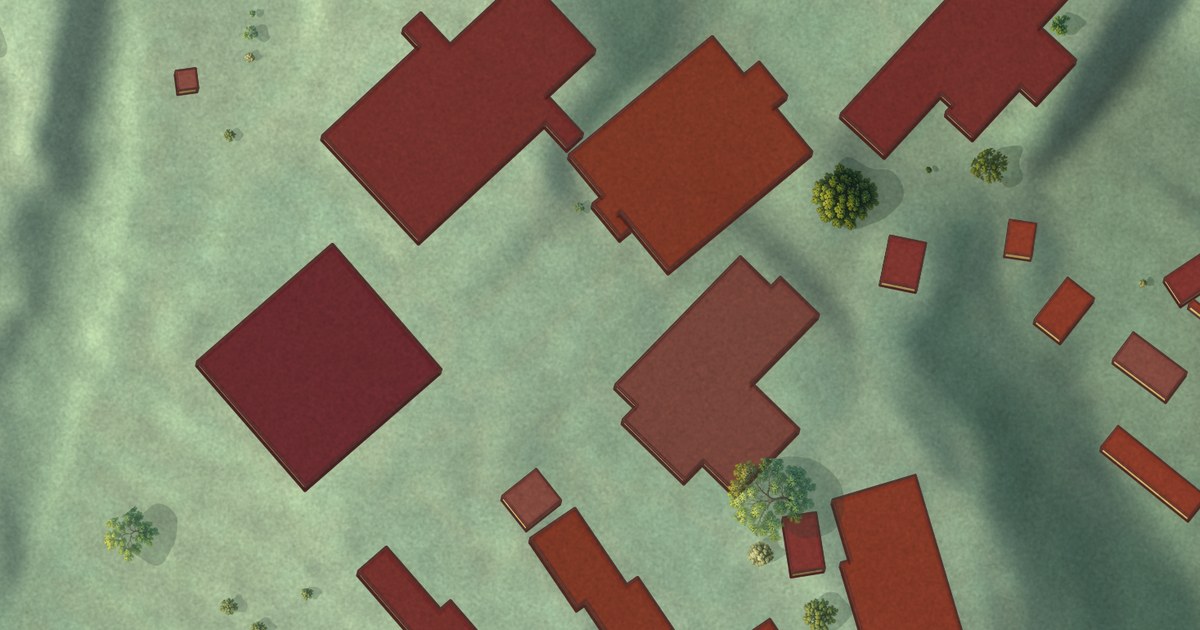
A detailed map of William Paterson University of New Jersey, New Jersey, showing every building in its true location, the roads by name, and shaded topographical relief.
Read More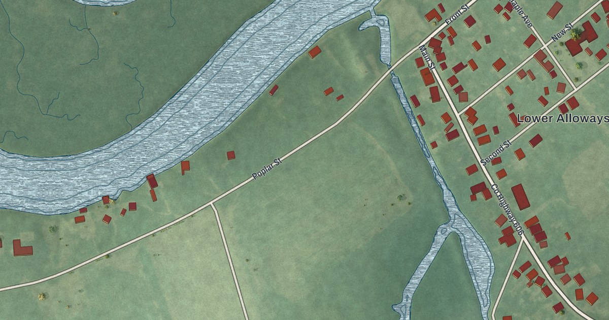
A detailed map of Hancocks Bridge, New Jersey, showing every building in its true location, the roads by name, and shaded topographical relief.
Read More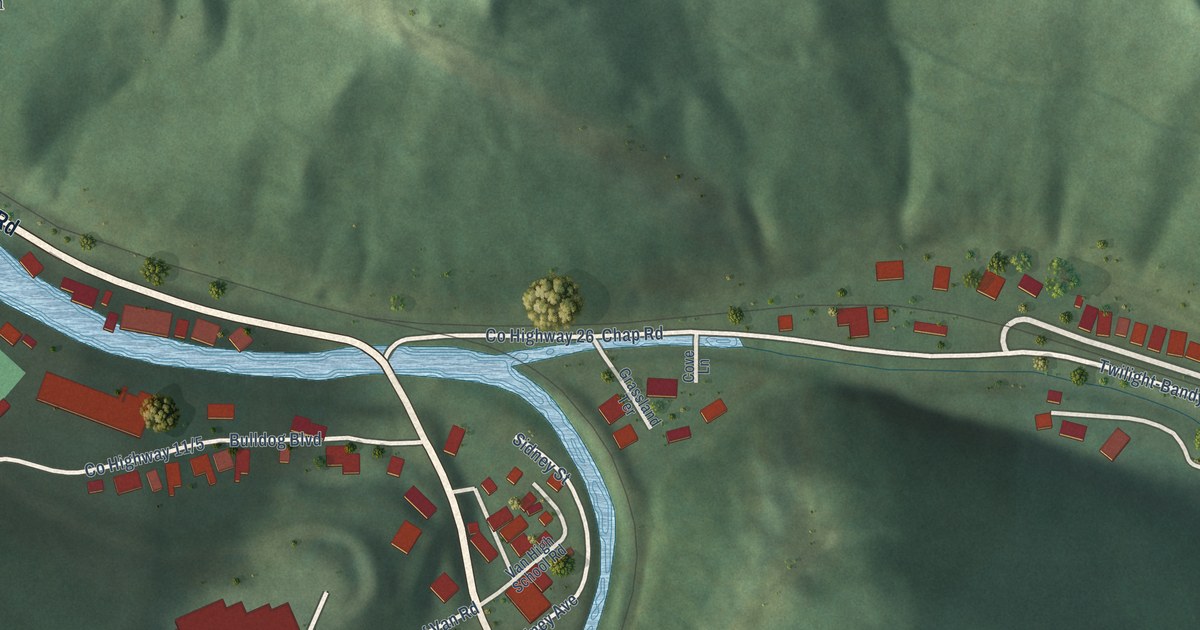
A detailed map of Van, West Virginia, showing every building in its true location, the roads by name, and shaded topographical relief.
Read More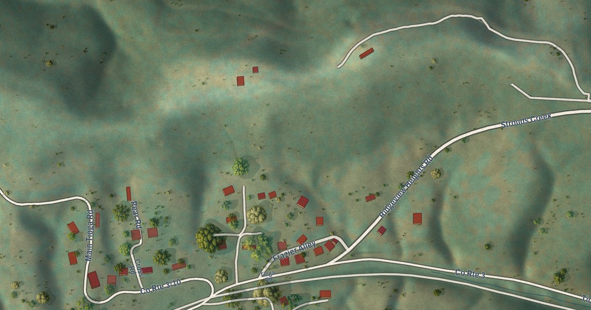
A detailed map of Tioga, West Virginia, showing every building in its true location, the roads by name, and shaded topographical relief.
Read More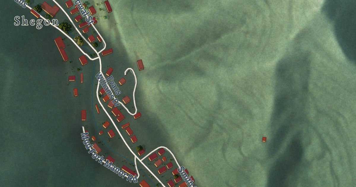
A detailed map of Verdunville, West Virginia, showing every building in its true location, the roads by name, and shaded topographical relief.
Read More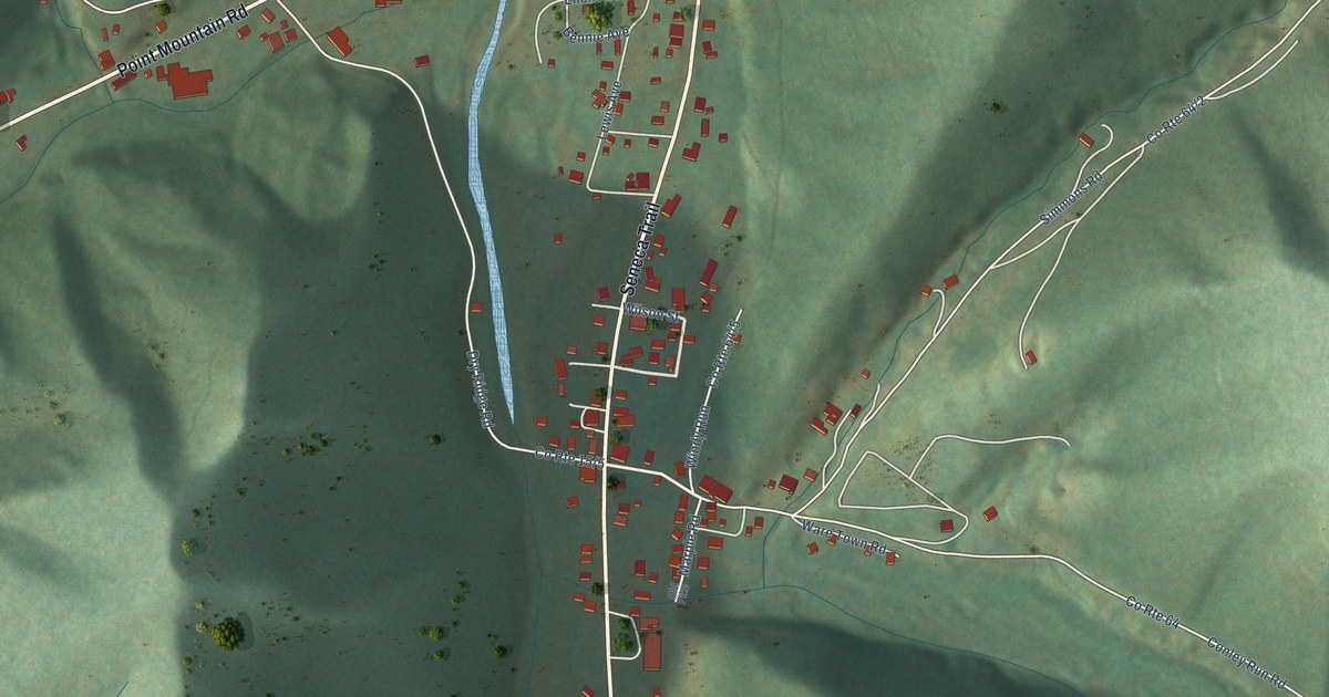
A detailed map of Valley Head, West Virginia, showing every building in its true location, the roads by name, and shaded topographical relief.
Read More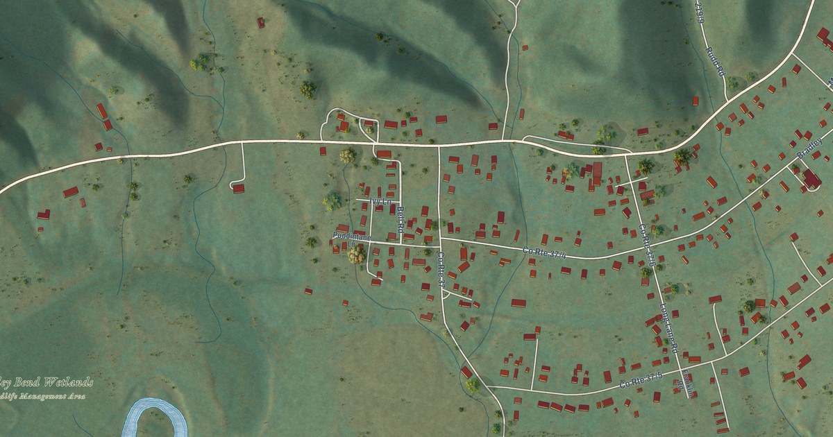
A detailed map of Valley Bend, West Virginia, showing every building in its true location, the roads by name, and shaded topographical relief.
Read More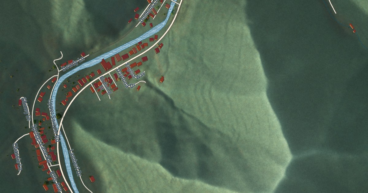
A detailed map of Switzer, West Virginia, showing every building in its true location, the roads by name, and shaded topographical relief.
Read More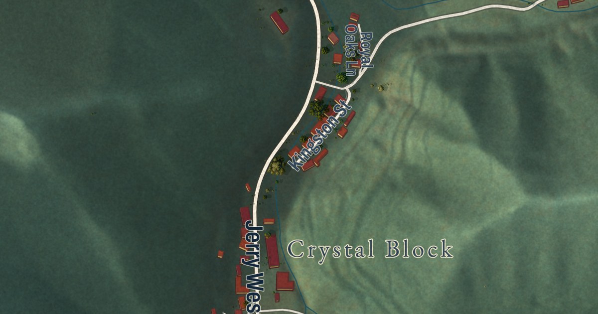
A detailed map of Sarah Ann, West Virginia, showing every building in its true location, the roads by name, and shaded topographical relief.
Read More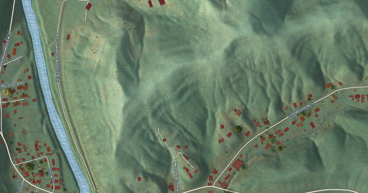
A detailed map of Salt Rock, West Virginia, showing every building in its true location, the roads by name, and shaded topographical relief.
Read More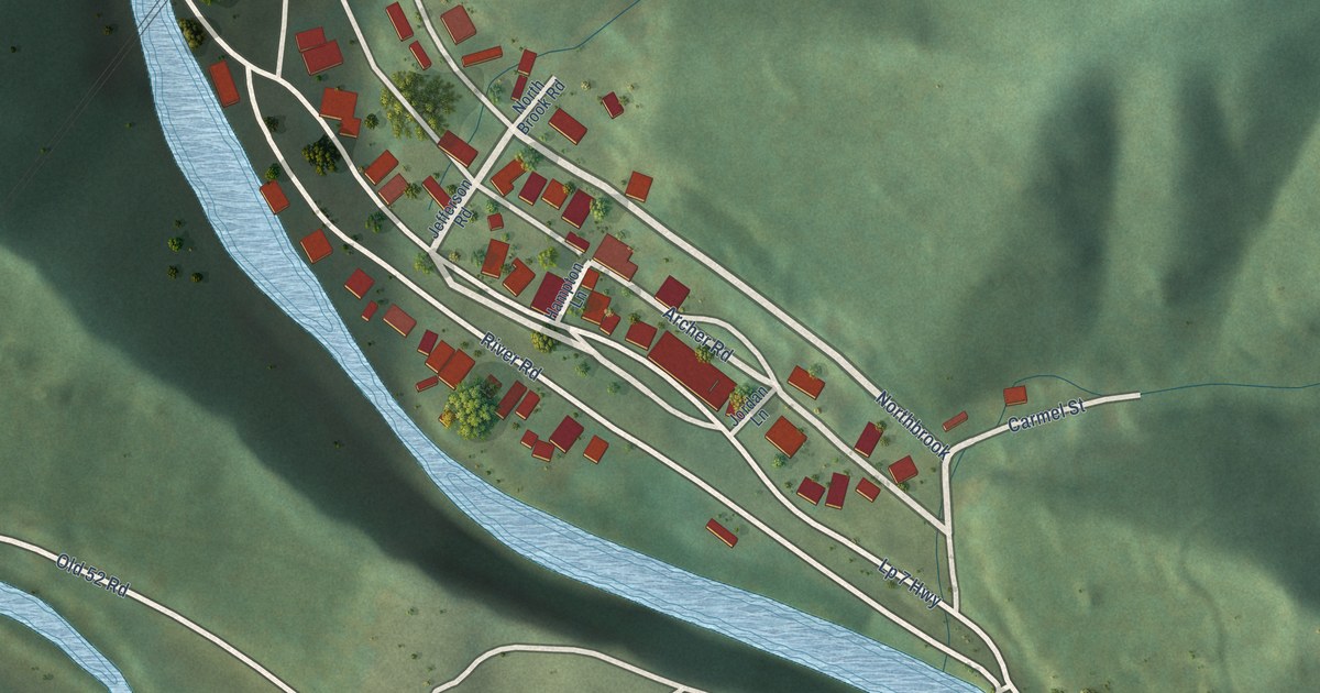
A detailed map of Roderfield, West Virginia, showing every building in its true location, the roads by name, and shaded topographical relief.
Read More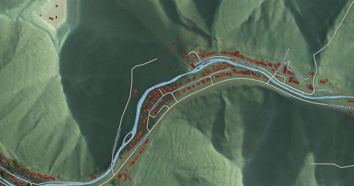
A detailed map of Robinette, West Virginia, showing every building in its true location, the roads by name, and shaded topographical relief.
Read More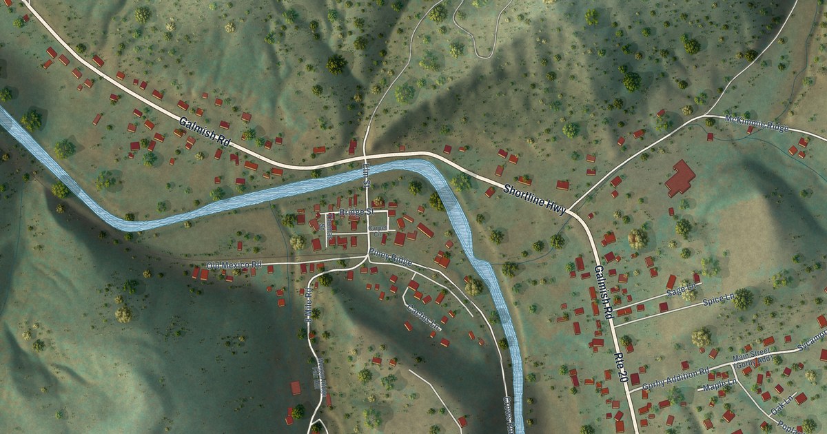
A detailed map of Reader, West Virginia, showing every building in its true location, the roads by name, and shaded topographical relief.
Read More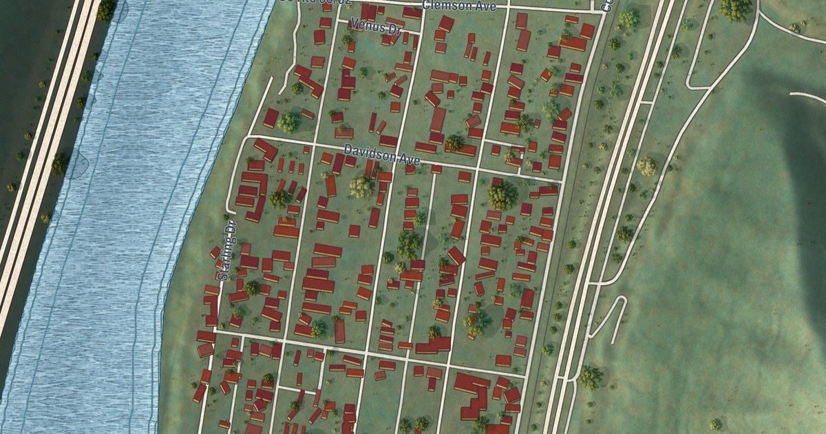
A detailed map of Rand, West Virginia, showing every building in its true location, the roads by name, and shaded topographical relief.
Read More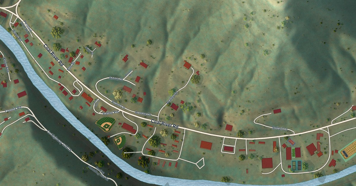
A detailed map of Racine, West Virginia, showing every building in its true location, the roads by name, and shaded topographical relief.
Read More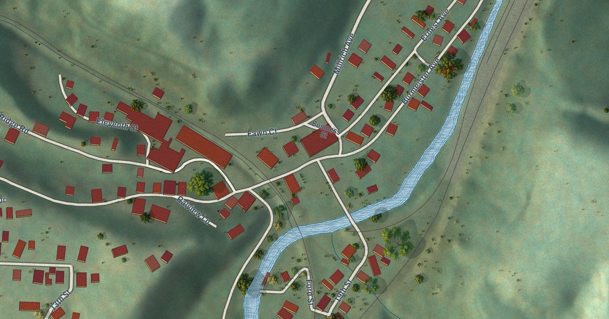
A detailed map of Raleigh, West Virginia, showing every building in its true location, the roads by name, and shaded topographical relief.
Read More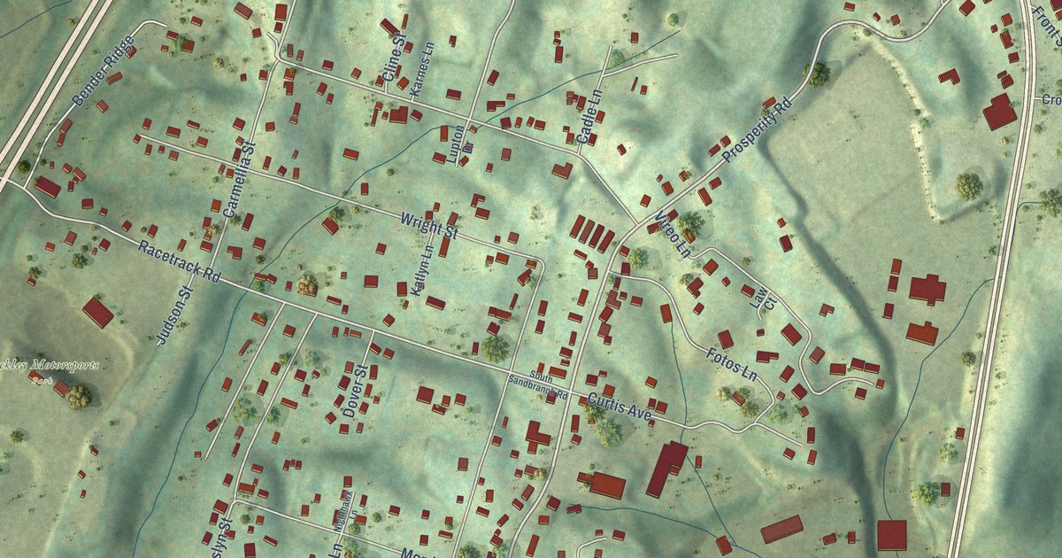
A detailed map of Prosperity, West Virginia, showing every building in its true location, the roads by name, and shaded topographical relief.
Read More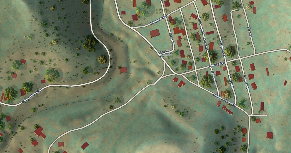
A detailed map of Rachel, West Virginia, showing every building in its true location, the roads by name, and shaded topographical relief.
Read More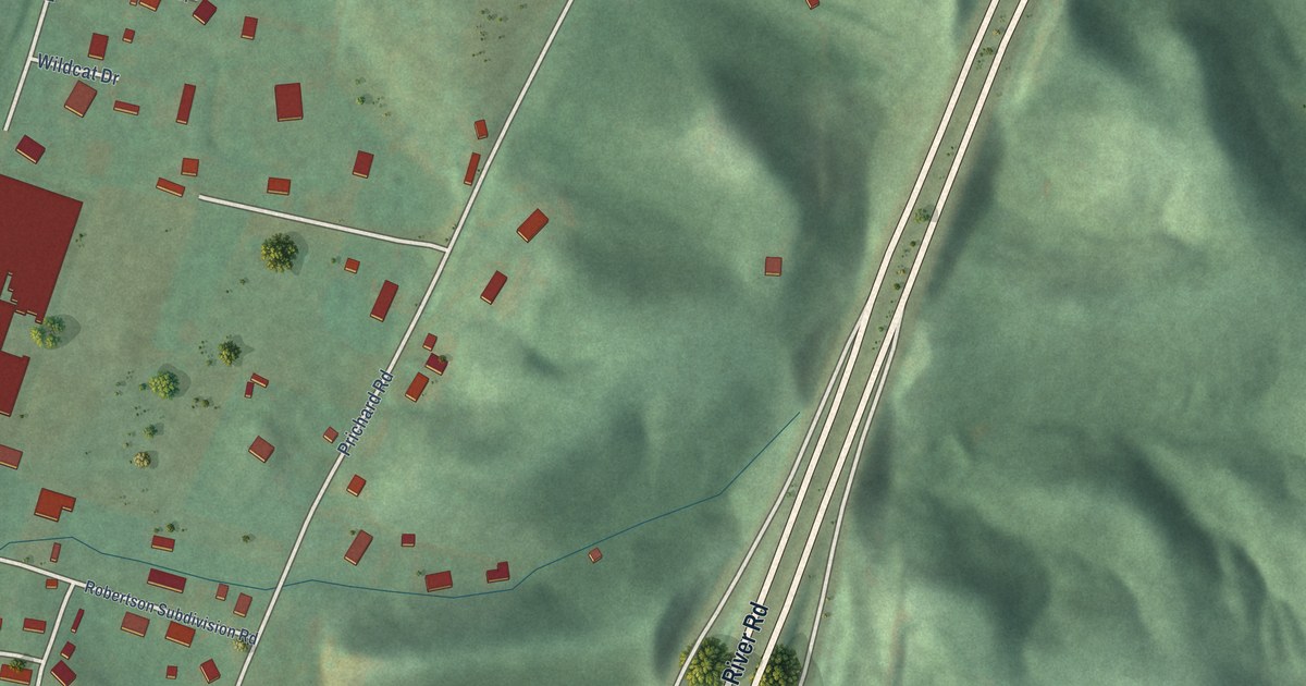
A detailed map of Prichard, West Virginia, showing every building in its true location, the roads by name, and shaded topographical relief.
Read More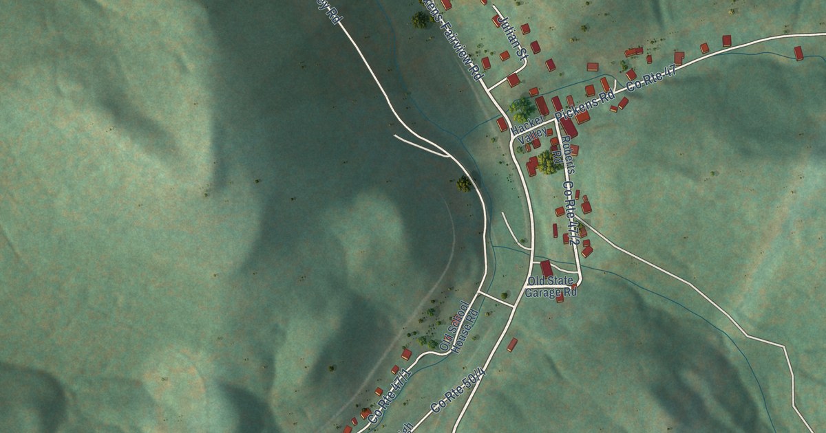
A detailed map of Pickens, West Virginia, showing every building in its true location, the roads by name, and shaded topographical relief.
Read More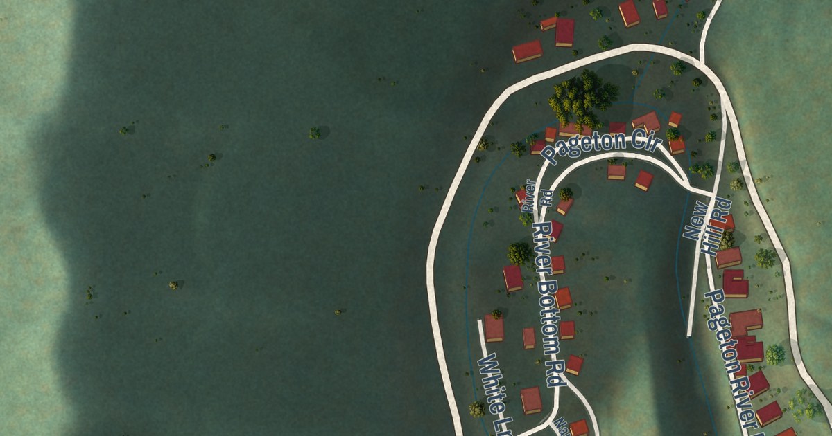
A detailed map of Pageton, West Virginia, showing every building in its true location, the roads by name, and shaded topographical relief.
Read More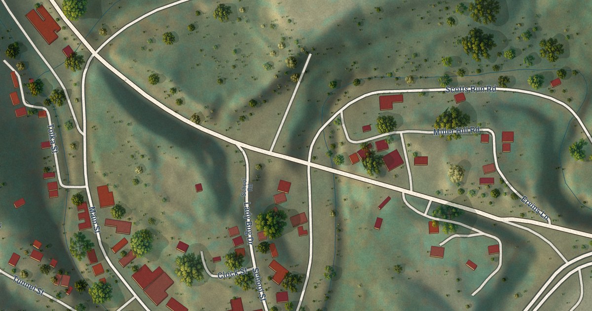
A detailed map of Osage, West Virginia, showing every building in its true location, the roads by name, and shaded topographical relief.
Read More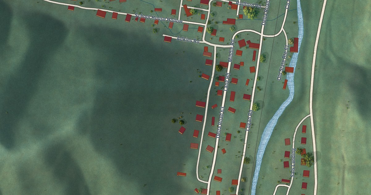
A detailed map of Page, West Virginia, showing every building in its true location, the roads by name, and shaded topographical relief.
Read More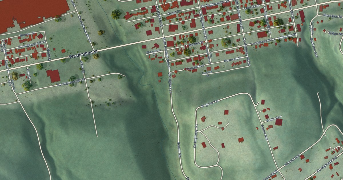
A detailed map of Newell, West Virginia, showing every building in its true location, the roads by name, and shaded topographical relief.
Read More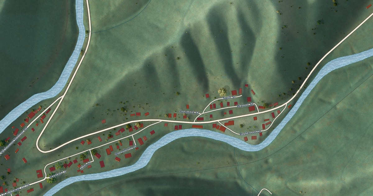
A detailed map of New Richmond, West Virginia, showing every building in its true location, the roads by name, and shaded topographical relief.
Read More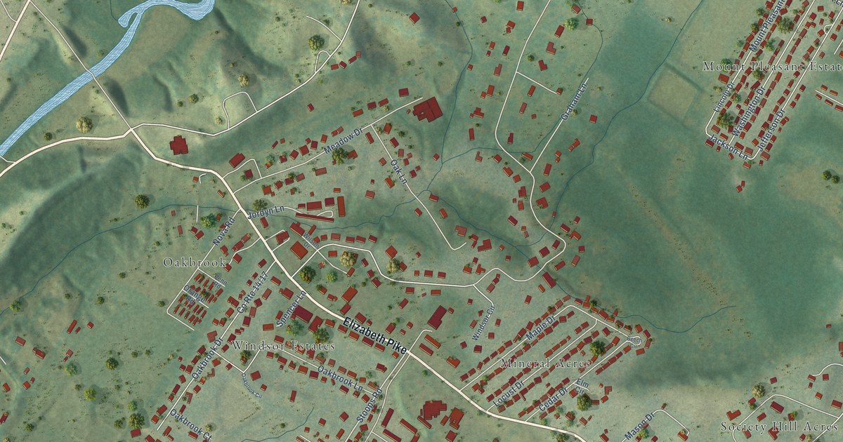
A detailed map of Mineralwells, West Virginia, showing every building in its true location, the roads by name, and shaded topographical relief.
Read More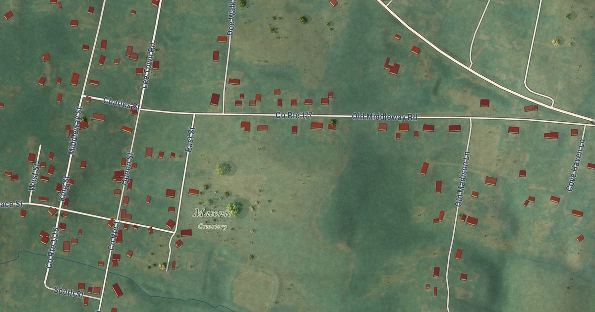
A detailed map of Middleway, West Virginia, showing every building in its true location, the roads by name, and shaded topographical relief.
Read More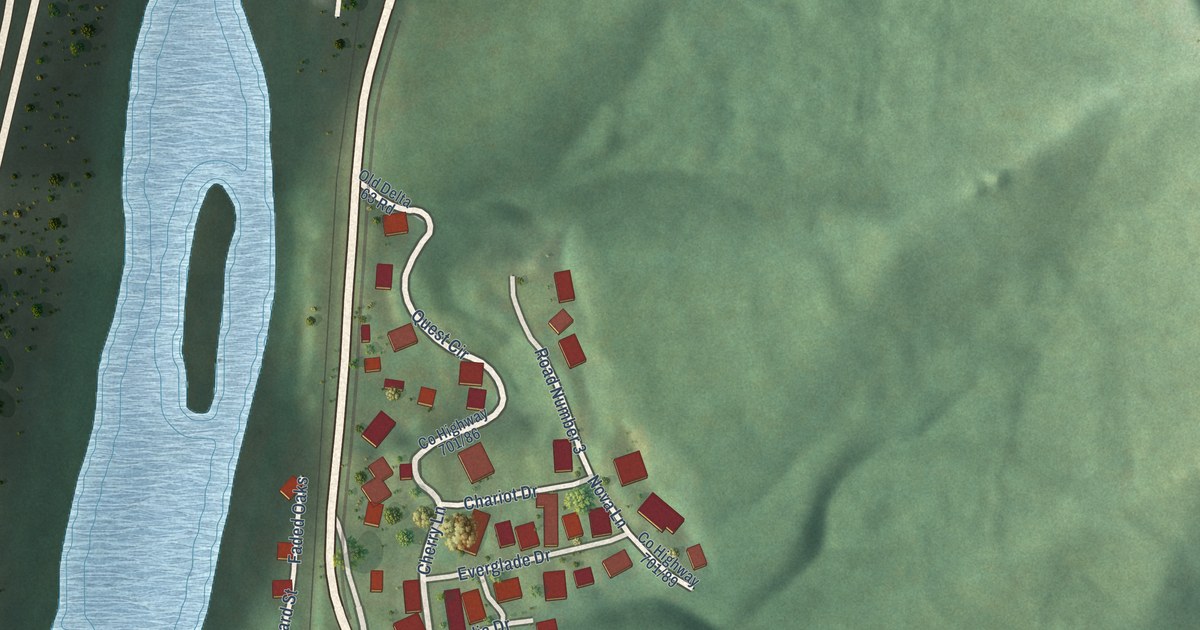
A detailed map of McConnell, West Virginia, showing every building in its true location, the roads by name, and shaded topographical relief.
Read More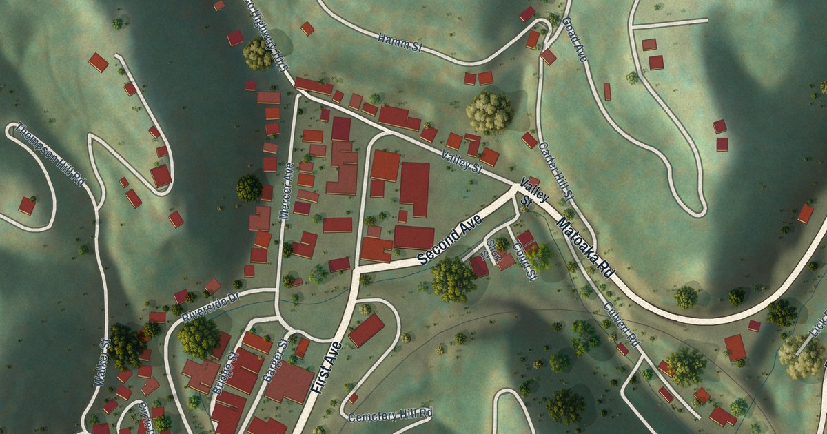
A detailed map of Matoaka, West Virginia, showing every building in its true location, the roads by name, and shaded topographical relief.
Read More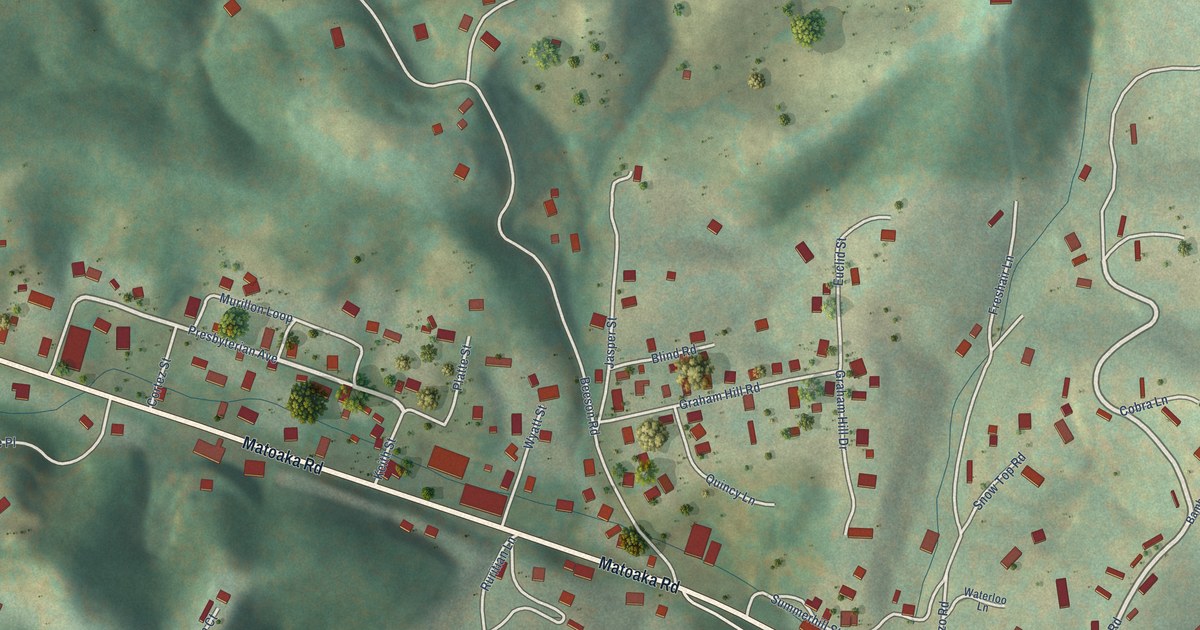
A detailed map of Lashmeet, West Virginia, showing every building in its true location, the roads by name, and shaded topographical relief.
Read More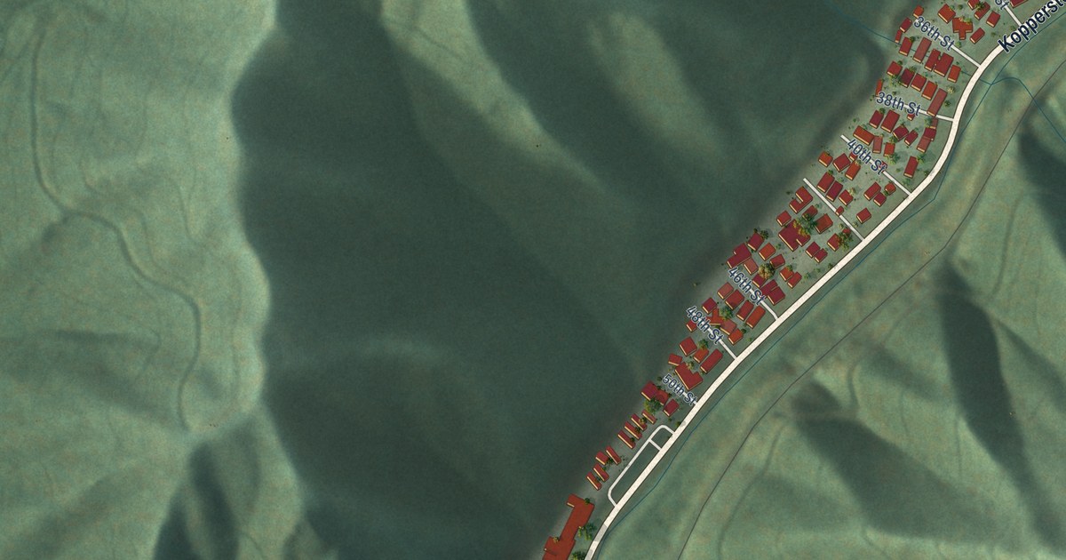
A detailed map of Kopperston, West Virginia, showing every building in its true location, the roads by name, and shaded topographical relief.
Read More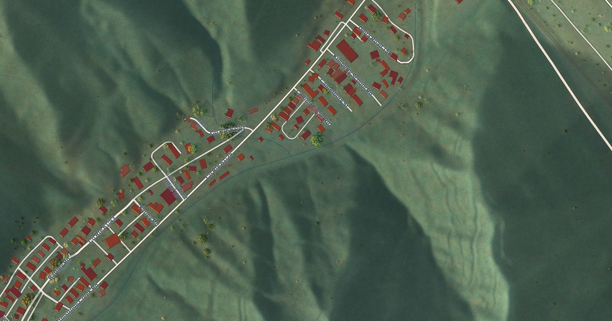
A detailed map of Kimberly, West Virginia, showing every building in its true location, the roads by name, and shaded topographical relief.
Read More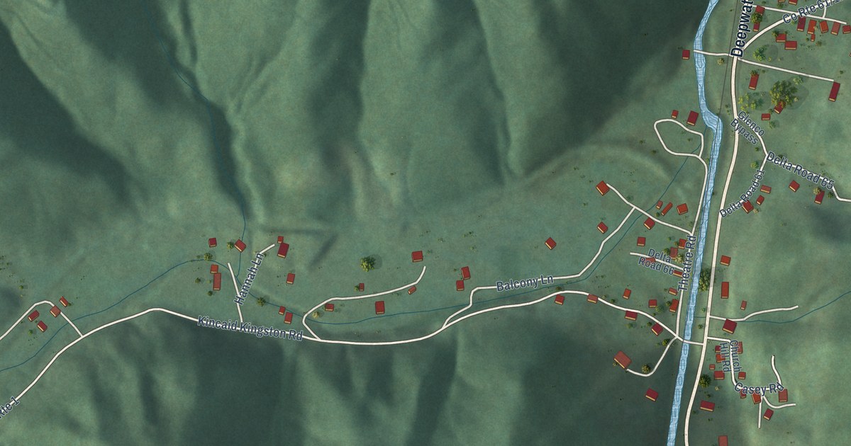
A detailed map of Kincaid, West Virginia, showing every building in its true location, the roads by name, and shaded topographical relief.
Read More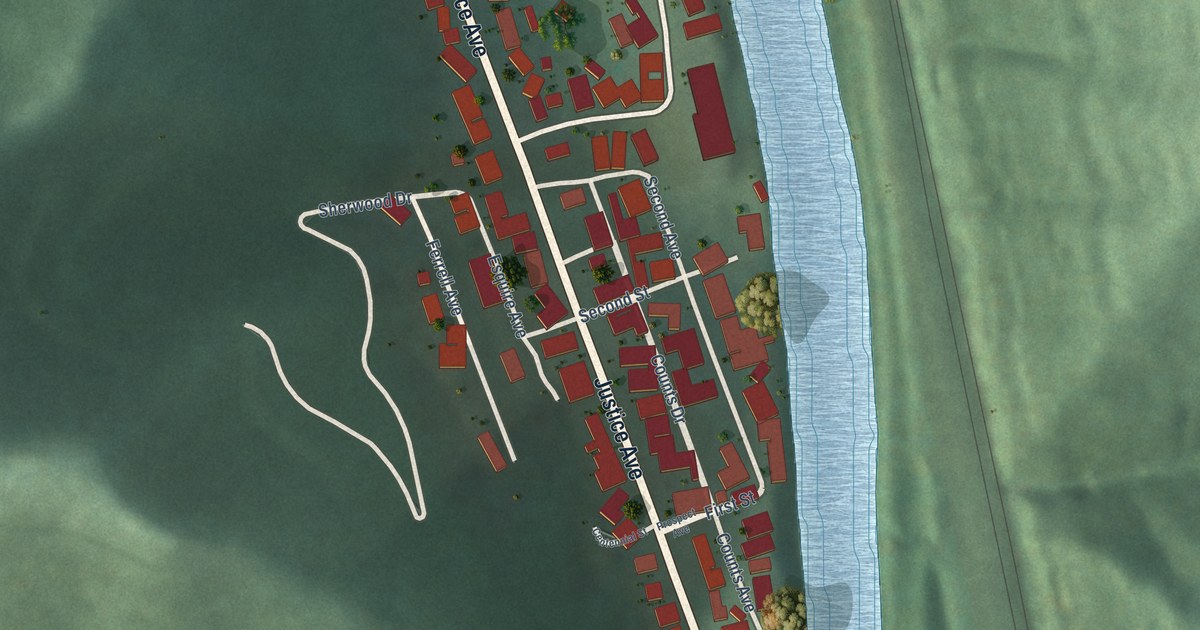
A detailed map of Justice Addition, West Virginia, showing every building in its true location, the roads by name, and shaded topographical relief.
Read More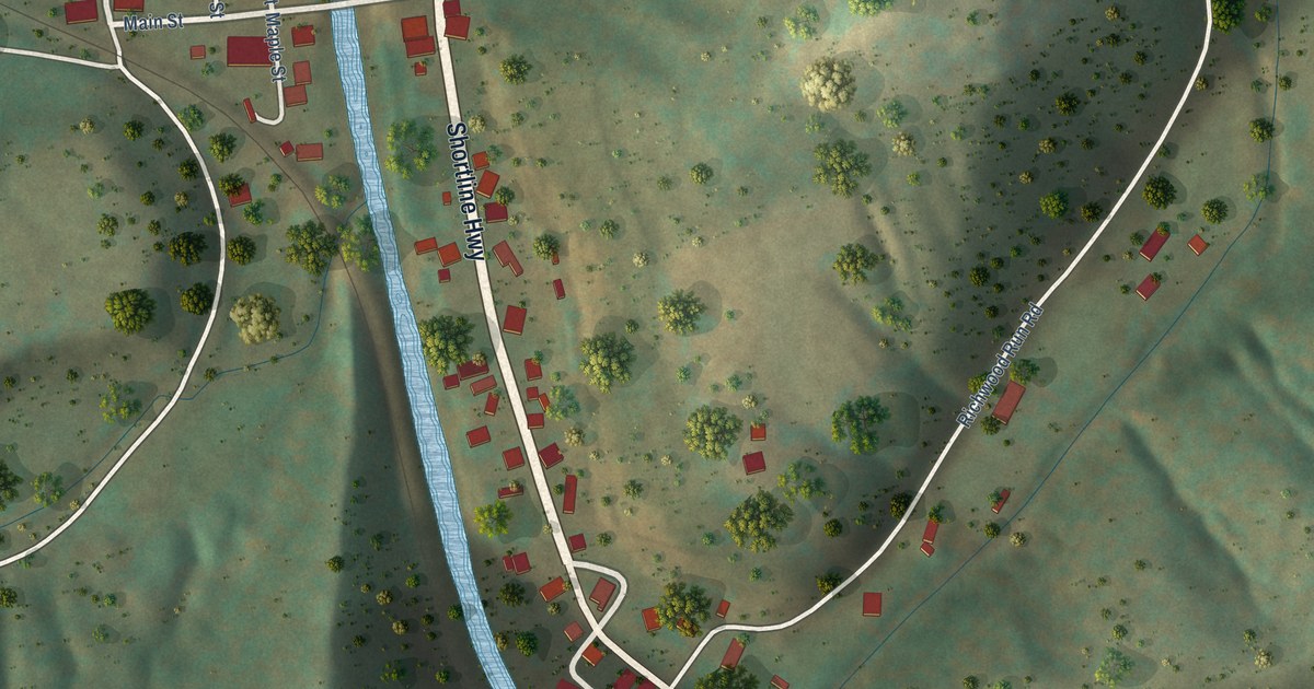
A detailed map of Jacksonburg, West Virginia, showing every building in its true location, the roads by name, and shaded topographical relief.
Read More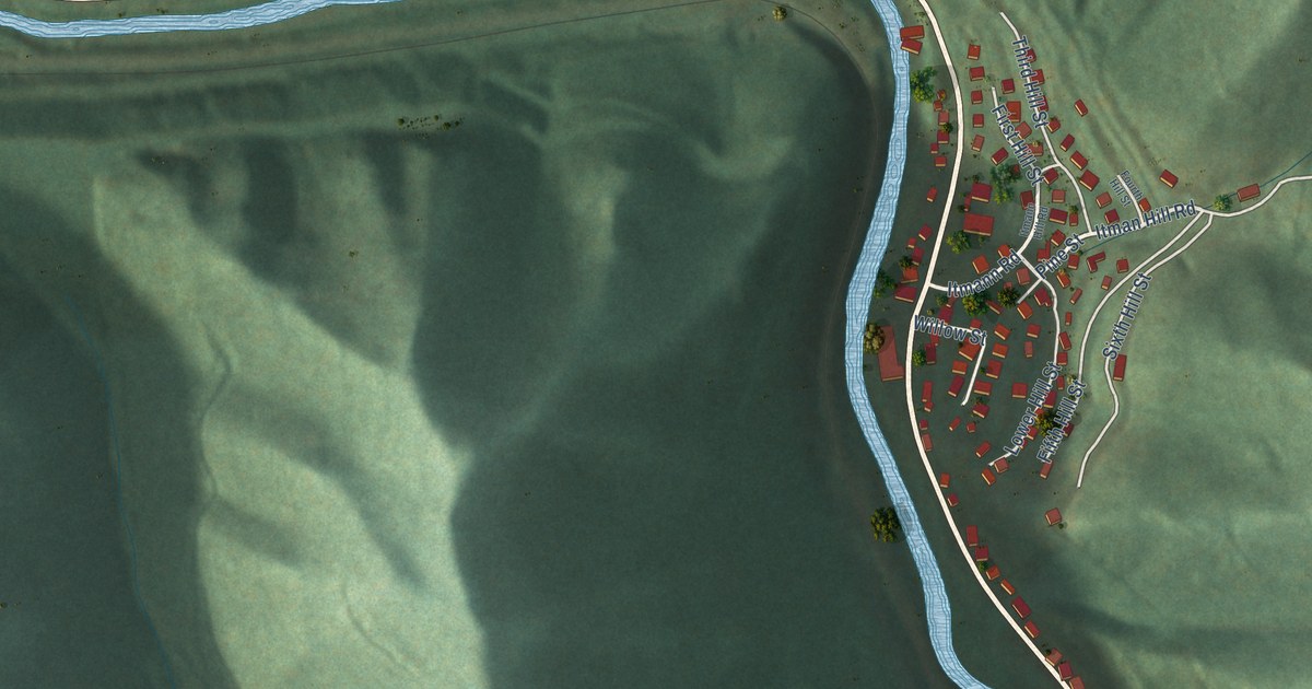
A detailed map of Itmann, West Virginia, showing every building in its true location, the roads by name, and shaded topographical relief.
Read More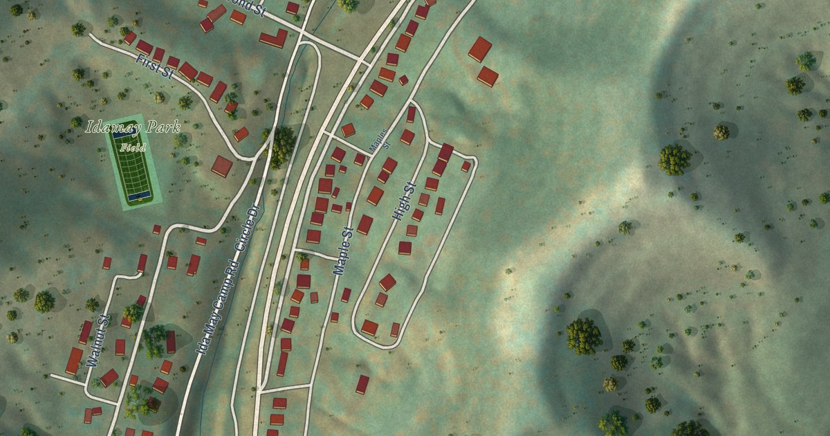
A detailed map of Idamay, West Virginia, showing every building in its true location, the roads by name, and shaded topographical relief.
Read More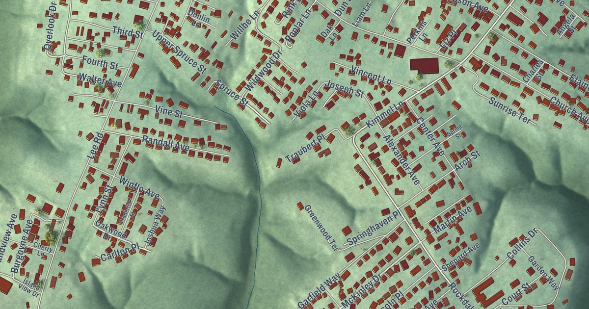
A detailed map of Hooverson Heights, West Virginia, showing every building in its true location, the roads by name, and shaded topographical relief.
Read More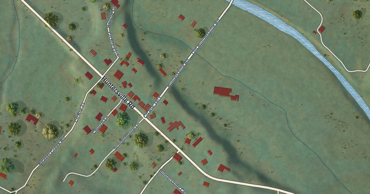
A detailed map of Huntersville, West Virginia, showing every building in its true location, the roads by name, and shaded topographical relief.
Read More















