Detailed Map of Amargosa, Texas
A detailed map of Amargosa, Texas, showing every building in its true location, the roads by name, and shaded topographical relief.
Read More
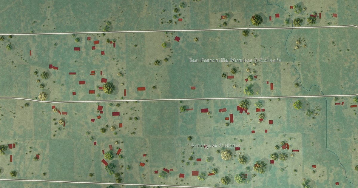
A detailed map of Amargosa, Texas, showing every building in its true location, the roads by name, and shaded topographical relief.
Read More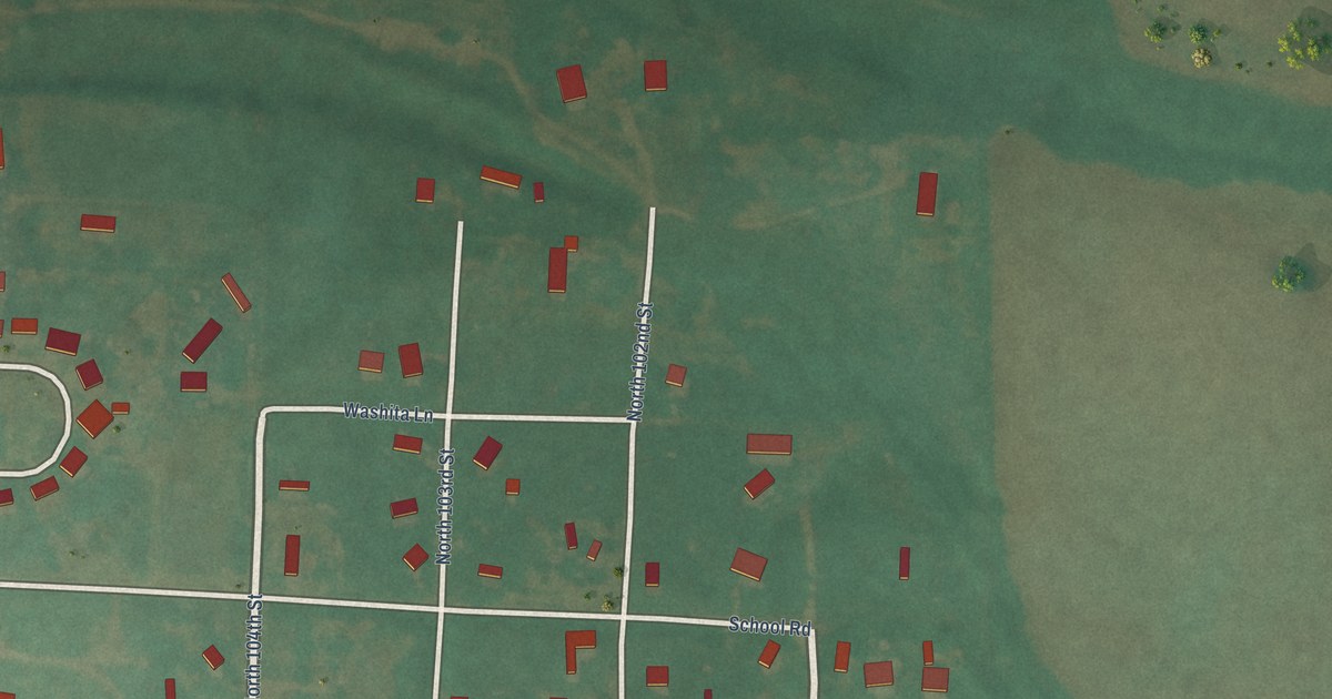
A detailed map of Washita, Oklahoma, showing every building in its true location, the roads by name, and shaded topographical relief.
Read More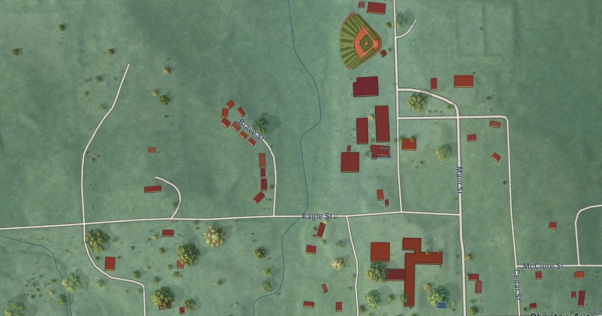
A detailed map of Smithville, Oklahoma, showing every building in its true location, the roads by name, and shaded topographical relief.
Read More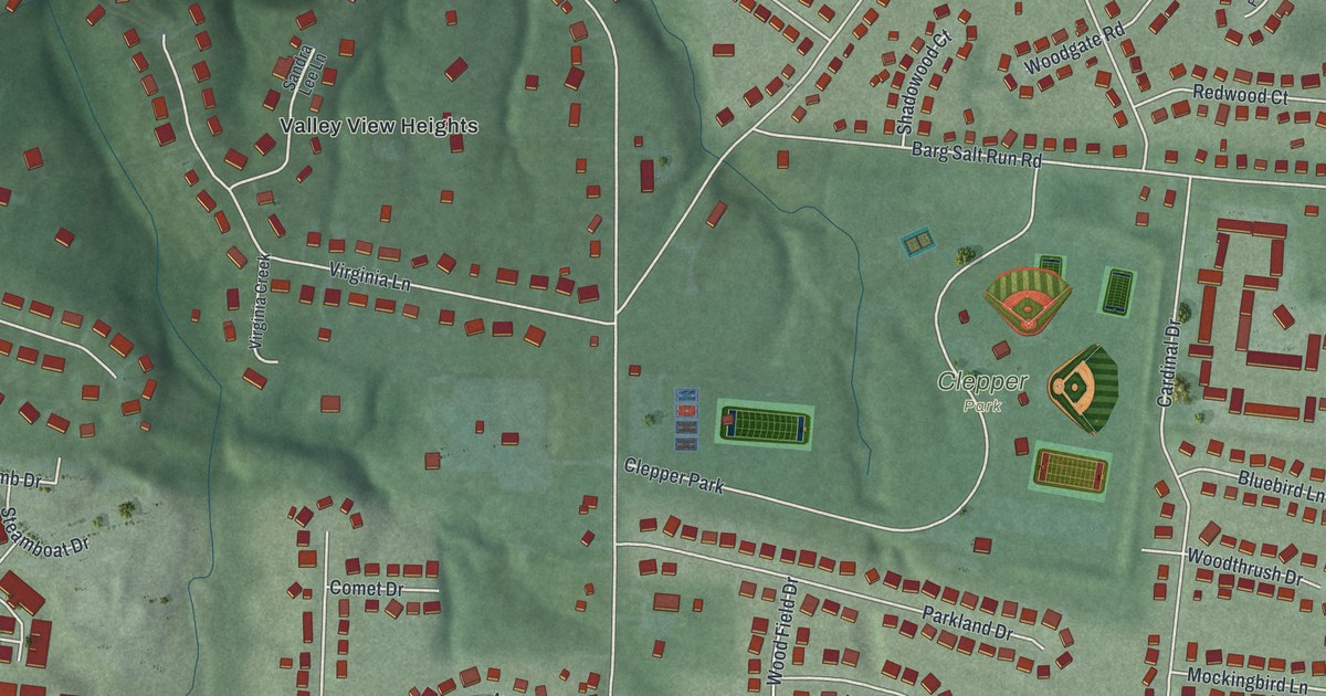
A detailed map of Summerside, Ohio, showing every building in its true location, the roads by name, and shaded topographical relief.
Read More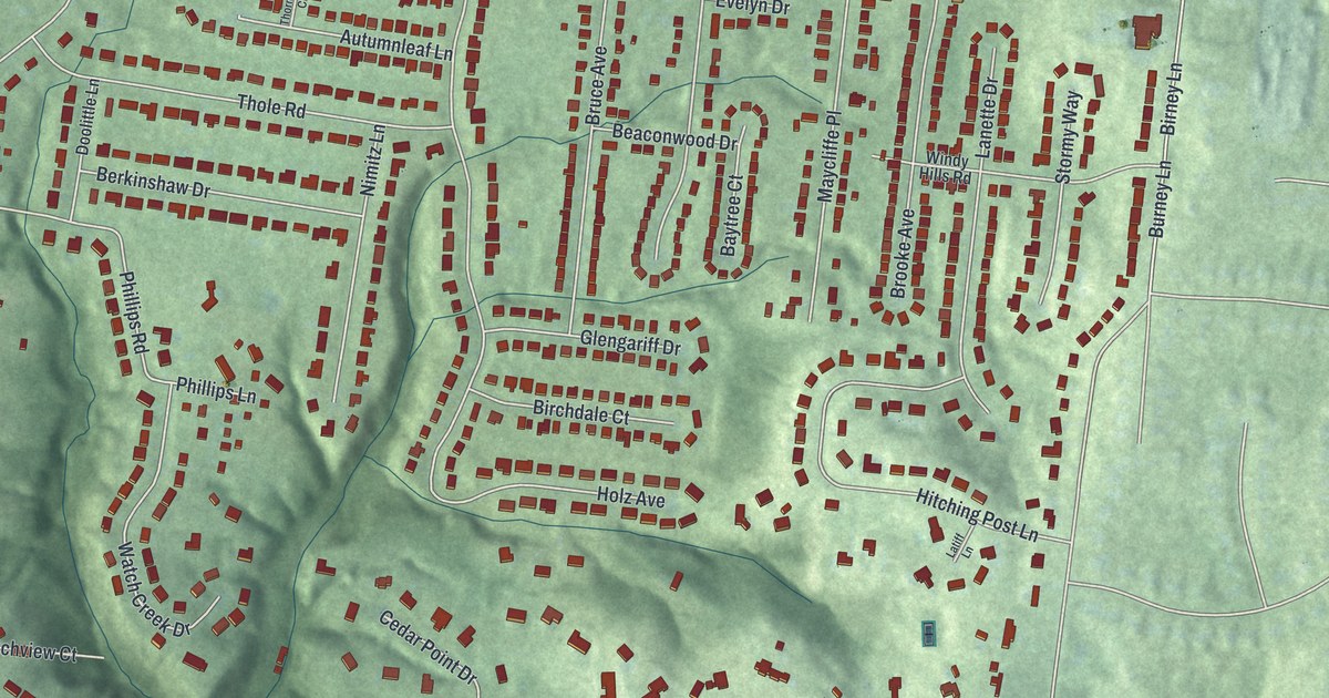
A detailed map of Salem Heights, Ohio, showing every building in its true location, the roads by name, and shaded topographical relief.
Read More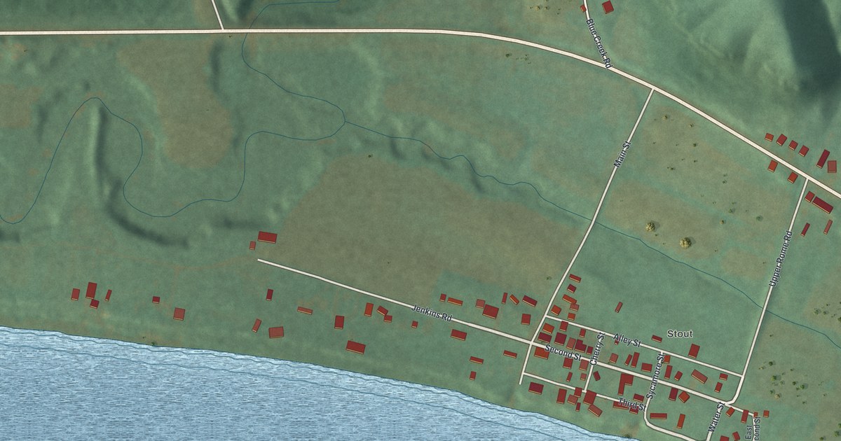
A detailed map of Stout, Ohio, showing every building in its true location, the roads by name, and shaded topographical relief.
Read More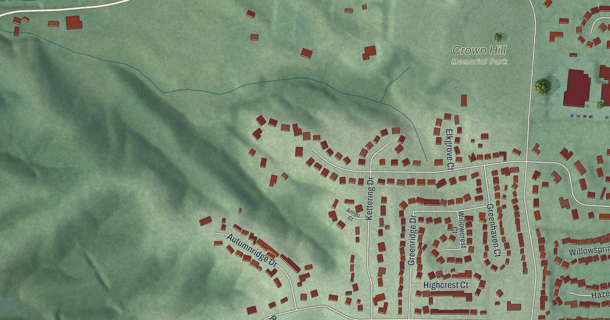
A detailed map of Pleasant Run, Ohio, showing every building in its true location, the roads by name, and shaded topographical relief.
Read More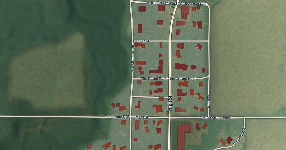
A detailed map of Pulaski, Ohio, showing every building in its true location, the roads by name, and shaded topographical relief.
Read More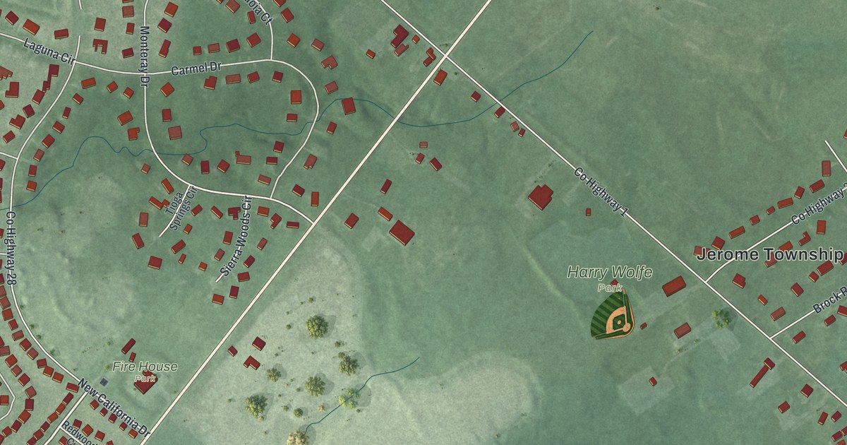
A detailed map of New California, Ohio, showing every building in its true location, the roads by name, and shaded topographical relief.
Read More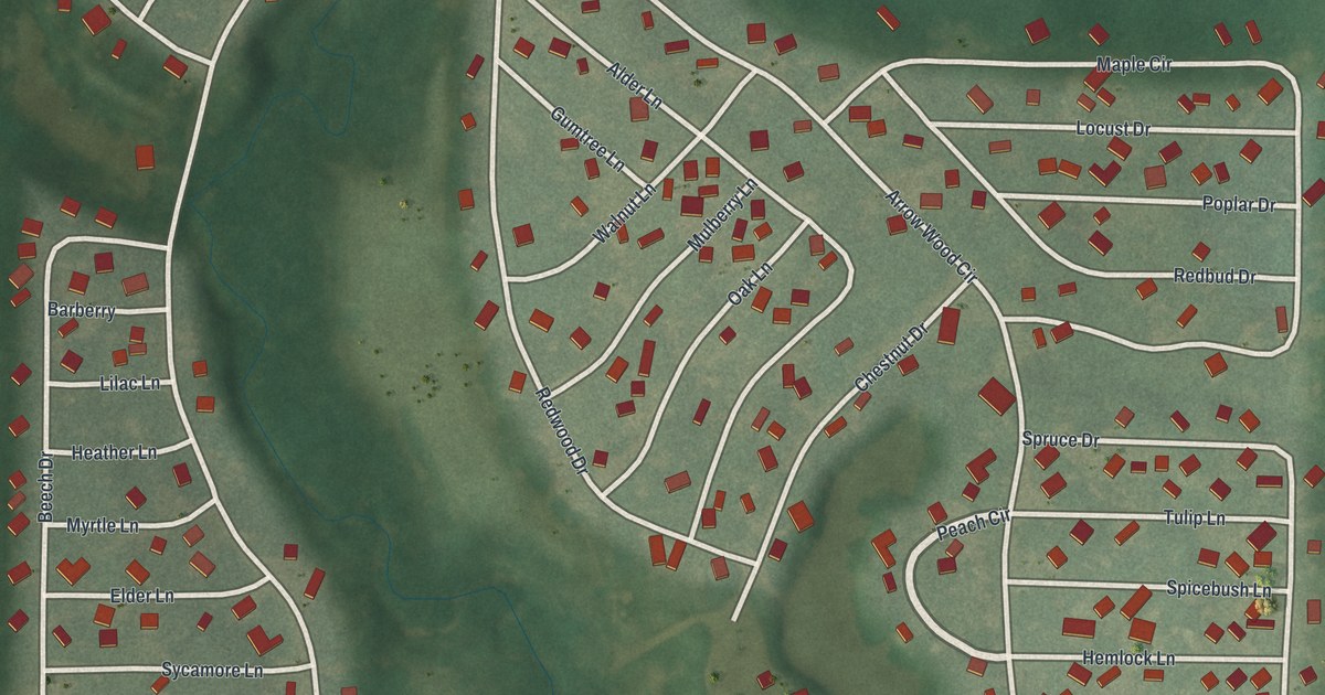
A detailed map of Hidden Lakes, Ohio, showing every building in its true location, the roads by name, and shaded topographical relief.
Read More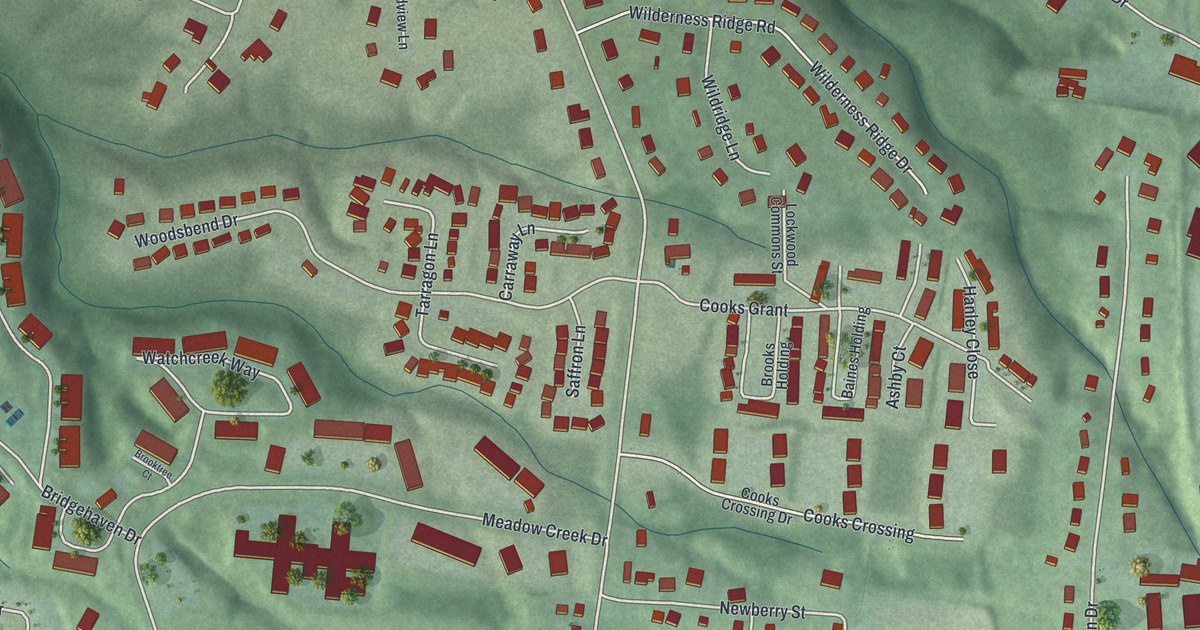
A detailed map of Mulberry, Ohio, showing every building in its true location, the roads by name, and shaded topographical relief.
Read More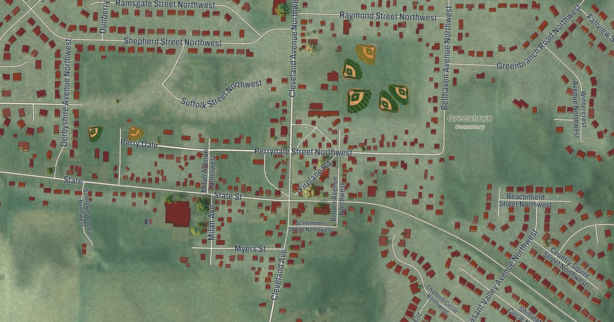
A detailed map of Greentown, Ohio, showing every building in its true location, the roads by name, and shaded topographical relief.
Read More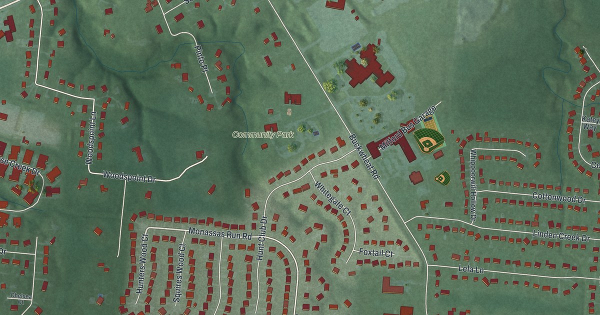
A detailed map of Mount Repose, Ohio, showing every building in its true location, the roads by name, and shaded topographical relief.
Read More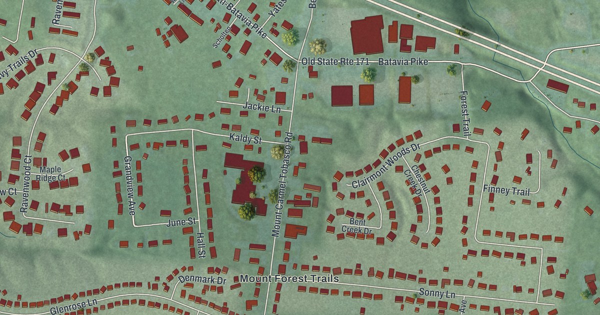
A detailed map of Mount Carmel, Ohio, showing every building in its true location, the roads by name, and shaded topographical relief.
Read More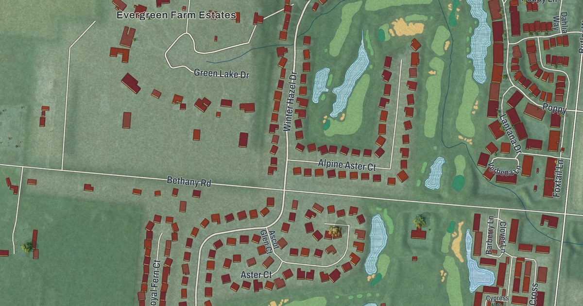
A detailed map of Four Bridges, Ohio, showing every building in its true location, the roads by name, and shaded topographical relief.
Read More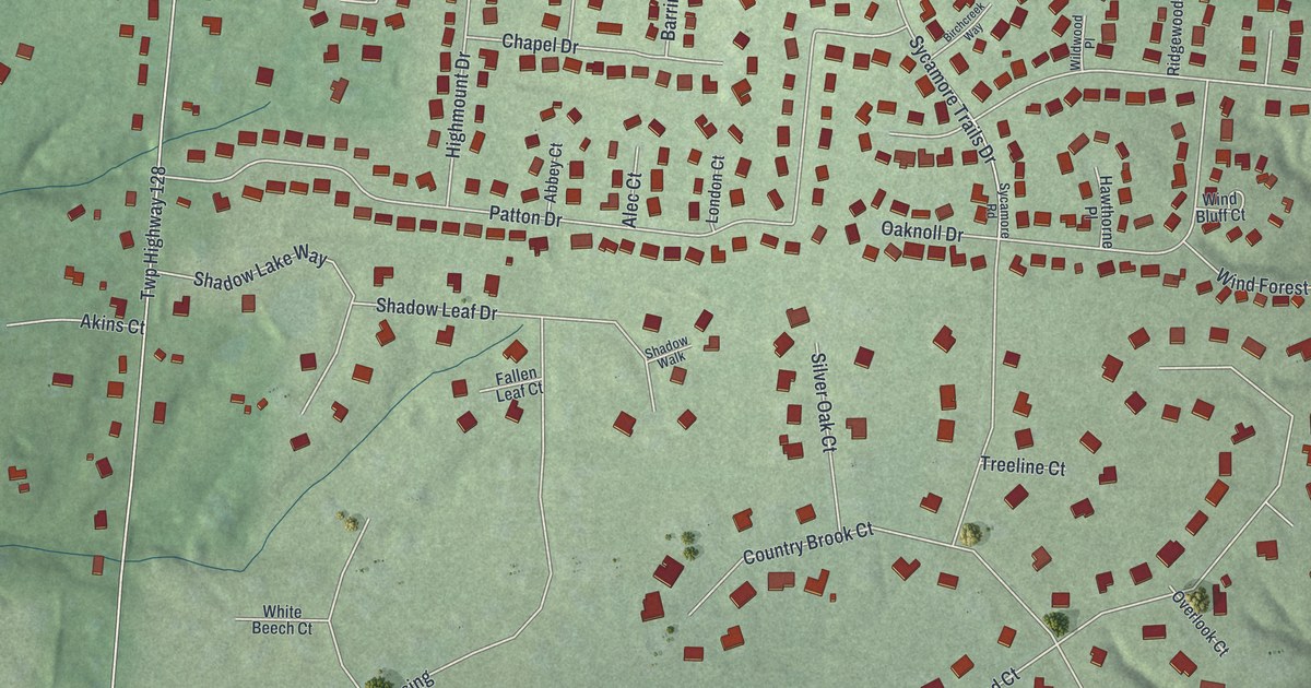
A detailed map of Five Points, Ohio, showing every building in its true location, the roads by name, and shaded topographical relief.
Read More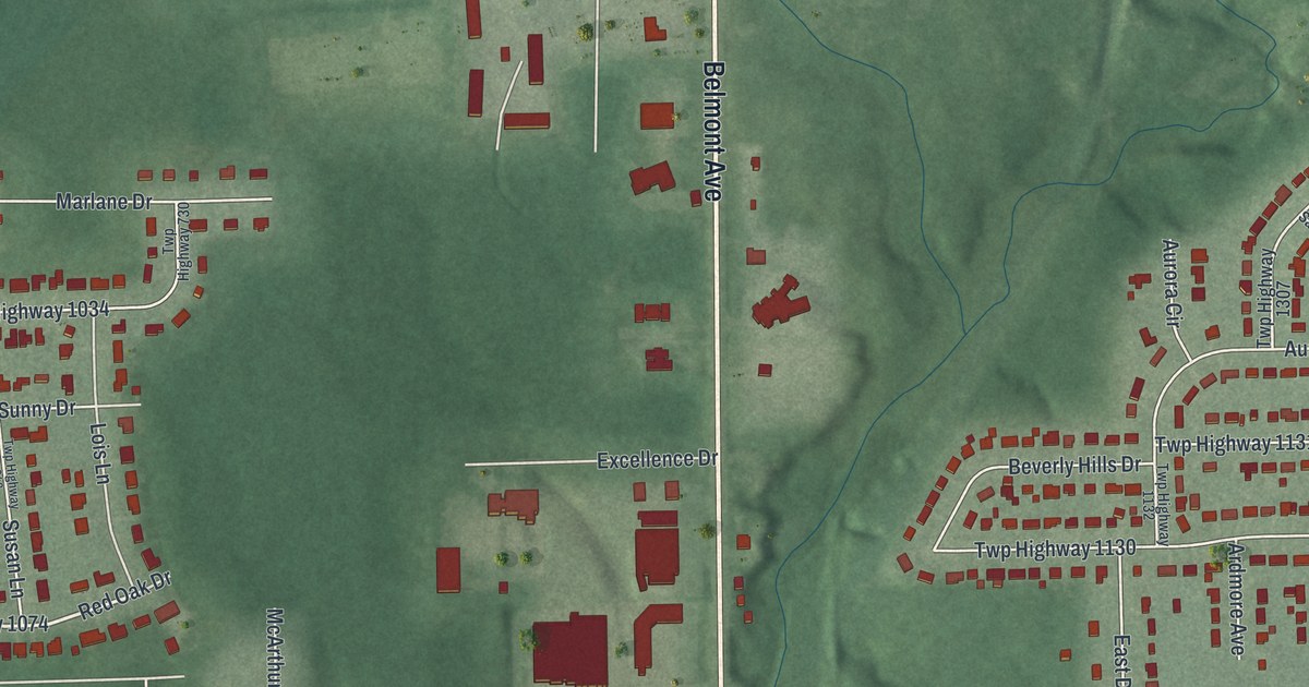
A detailed map of Churchill, Ohio, showing every building in its true location, the roads by name, and shaded topographical relief.
Read More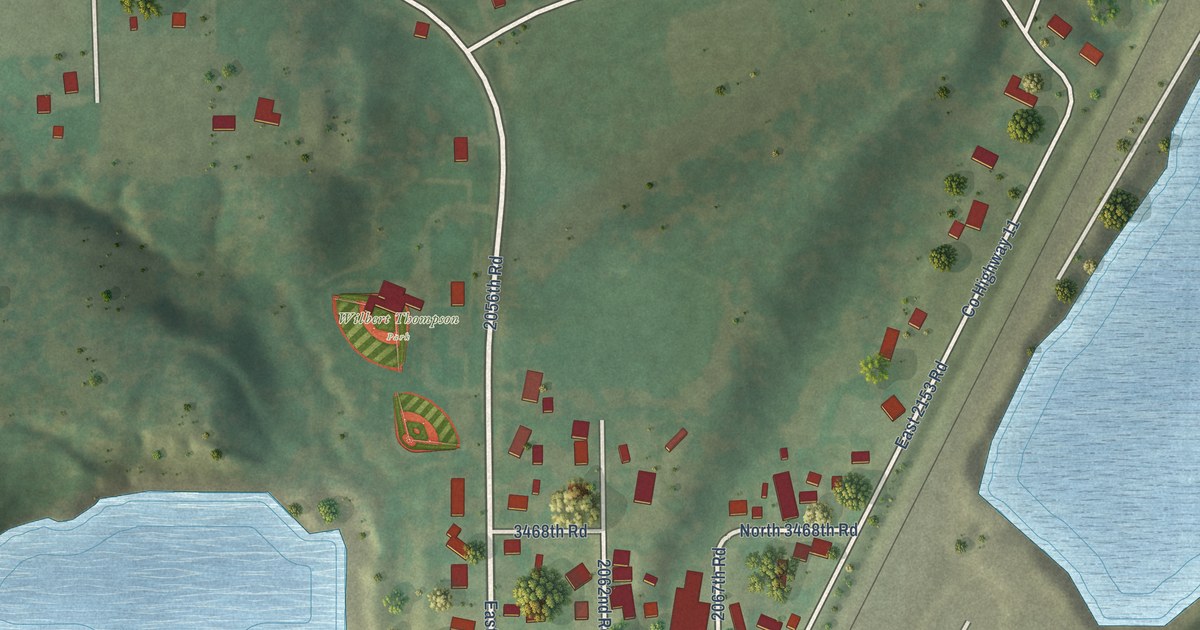
A detailed map of Wedron, Illinois, showing every building in its true location, the roads by name, and shaded topographical relief.
Read More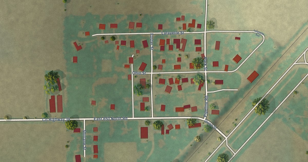
A detailed map of Shirley, Illinois, showing every building in its true location, the roads by name, and shaded topographical relief.
Read More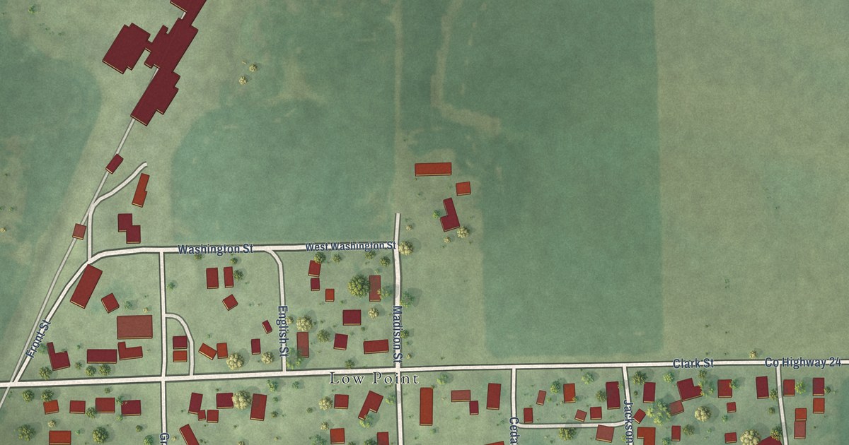
A detailed map of Lowpoint, Illinois, showing every building in its true location, the roads by name, and shaded topographical relief.
Read More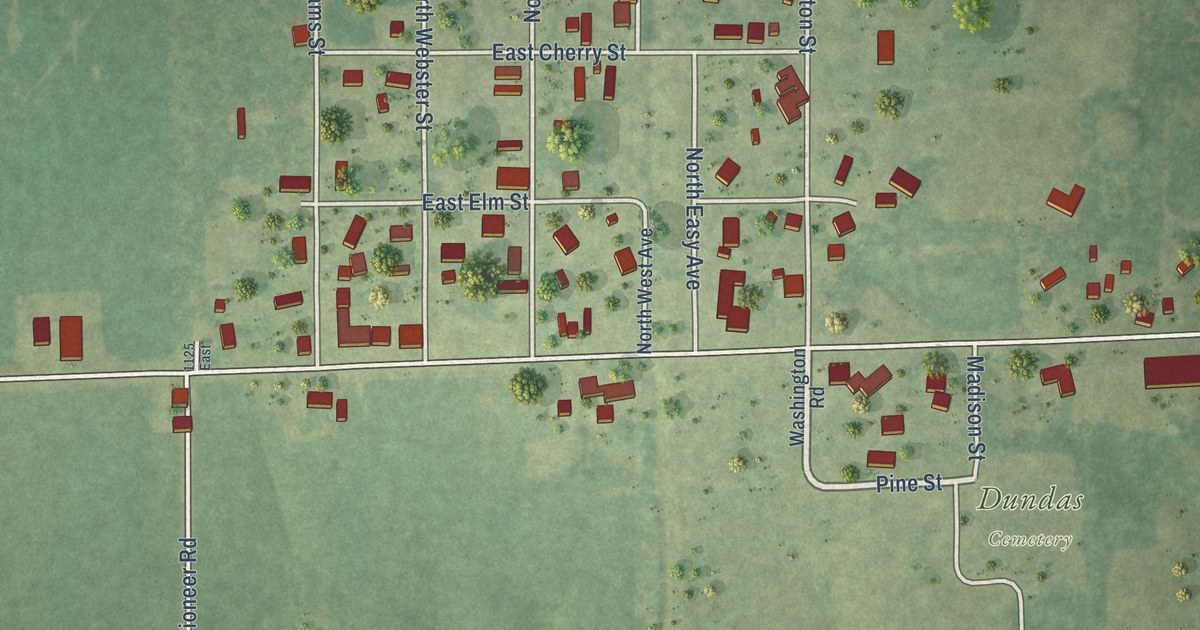
A detailed map of Dundas, Illinois, showing every building in its true location, the roads by name, and shaded topographical relief.
Read More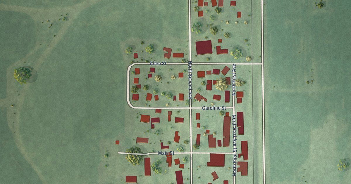
A detailed map of Holcomb, Illinois, showing every building in its true location, the roads by name, and shaded topographical relief.
Read More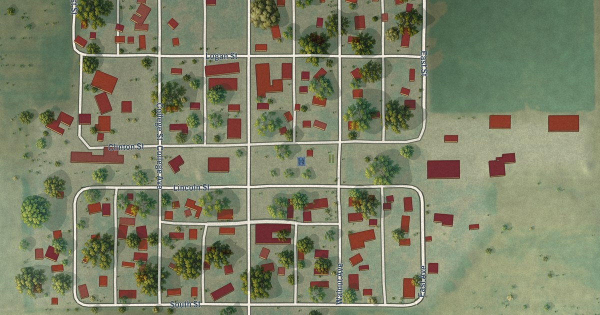
A detailed map of Beason, Illinois, showing every building in its true location, the roads by name, and shaded topographical relief.
Read More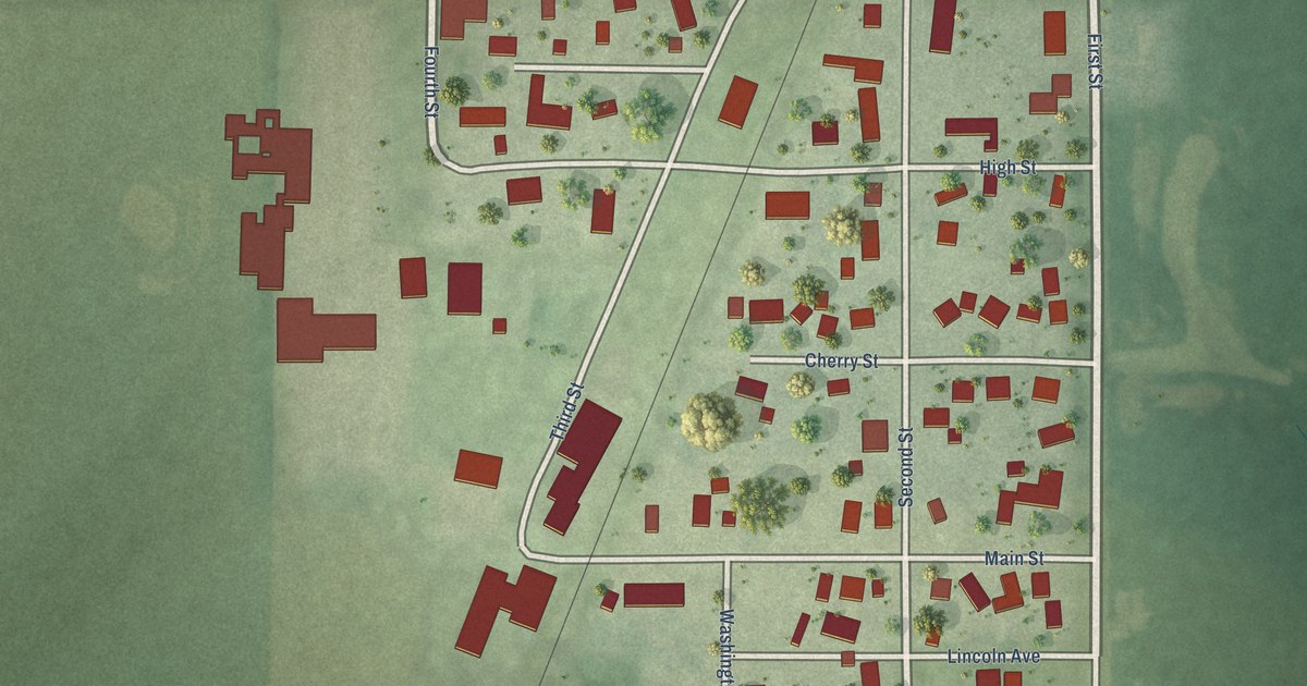
A detailed map of Kings, Illinois, showing every building in its true location, the roads by name, and shaded topographical relief.
Read More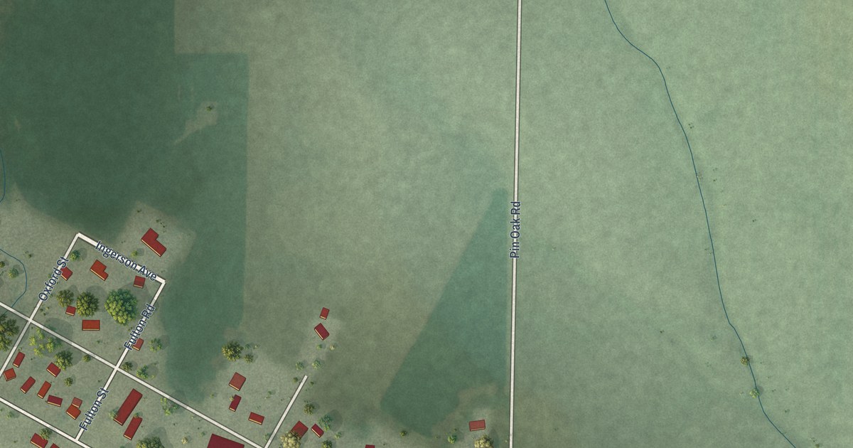
A detailed map of Lee Center, Illinois, showing every building in its true location, the roads by name, and shaded topographical relief.
Read More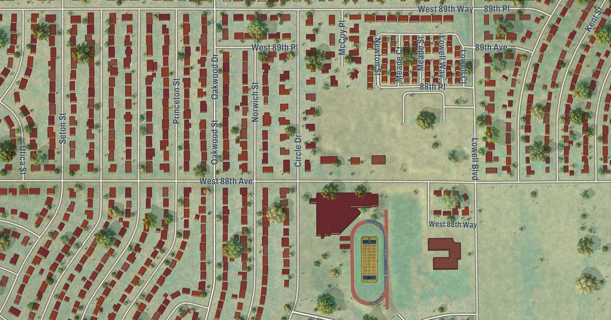
A detailed map of Shaw Heights, Colorado, showing every building in its true location, the roads by name, and shaded topographical relief.
Read More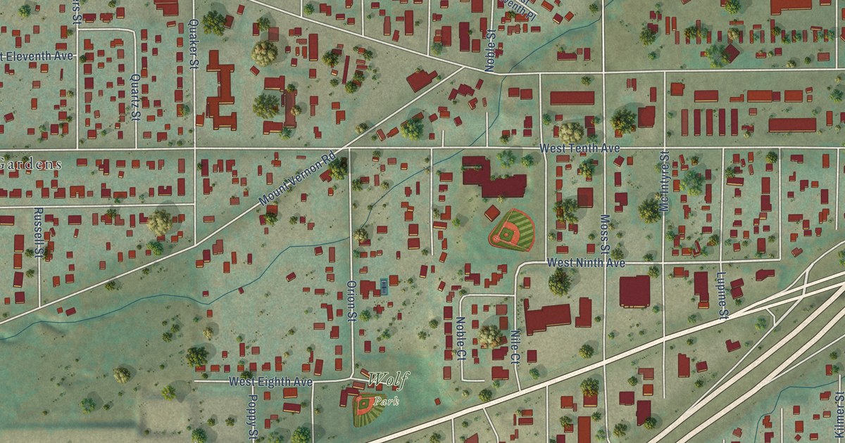
A detailed map of West Pleasant View, Colorado, showing every building in its true location, the roads by name, and shaded topographical relief.
Read More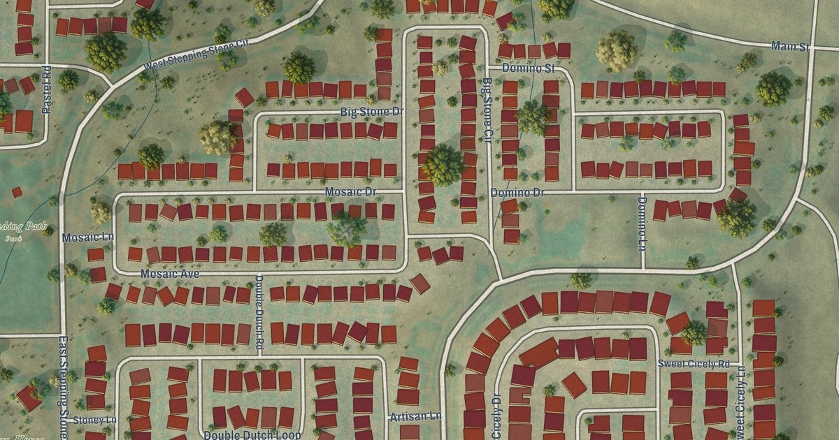
A detailed map of Stepping Stone, Colorado, showing every building in its true location, the roads by name, and shaded topographical relief.
Read More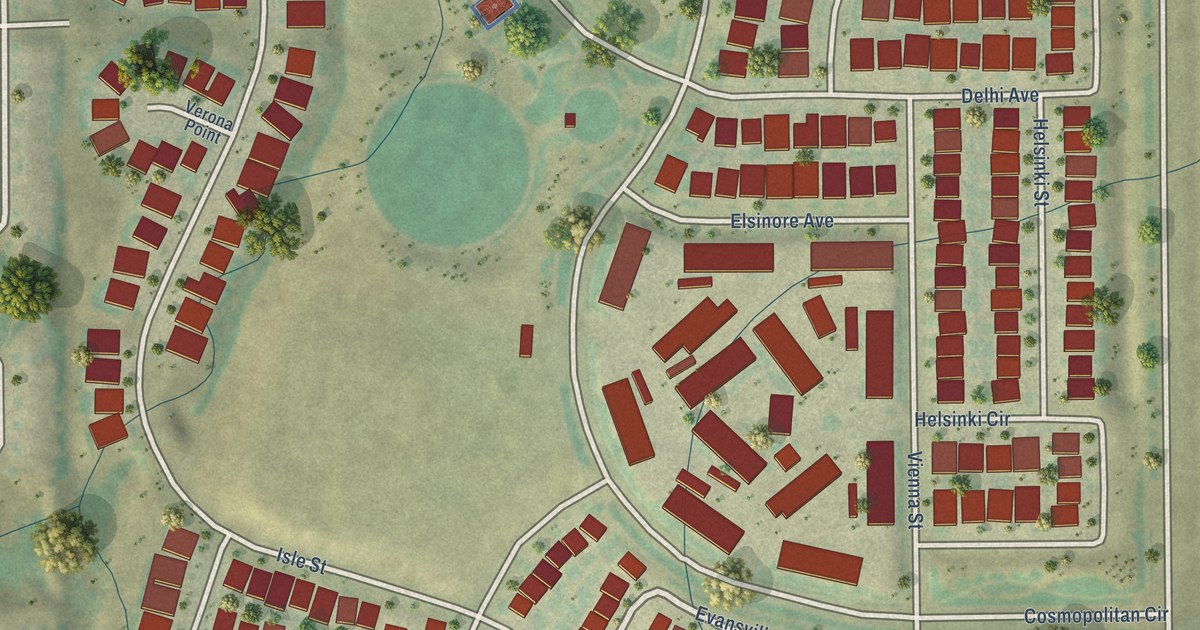
A detailed map of Sierra Ridge, Colorado, showing every building in its true location, the roads by name, and shaded topographical relief.
Read More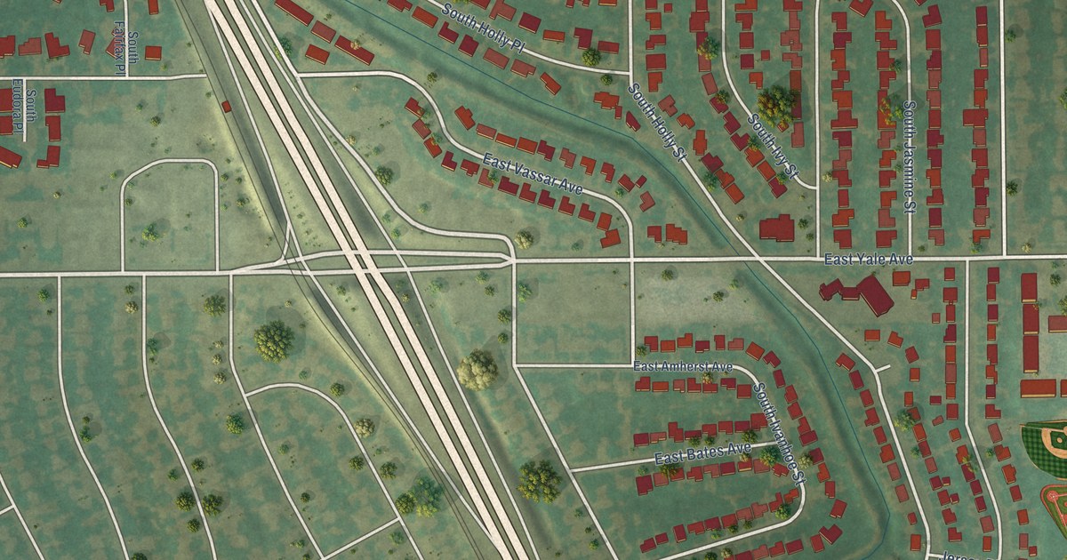
A detailed map of Holly Hills, Colorado, showing every building in its true location, the roads by name, and shaded topographical relief.
Read More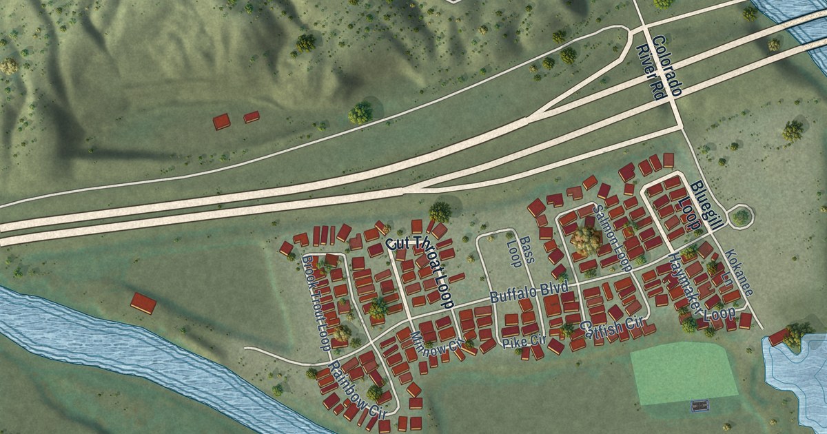
A detailed map of Dotsero, Colorado, showing every building in its true location, the roads by name, and shaded topographical relief.
Read More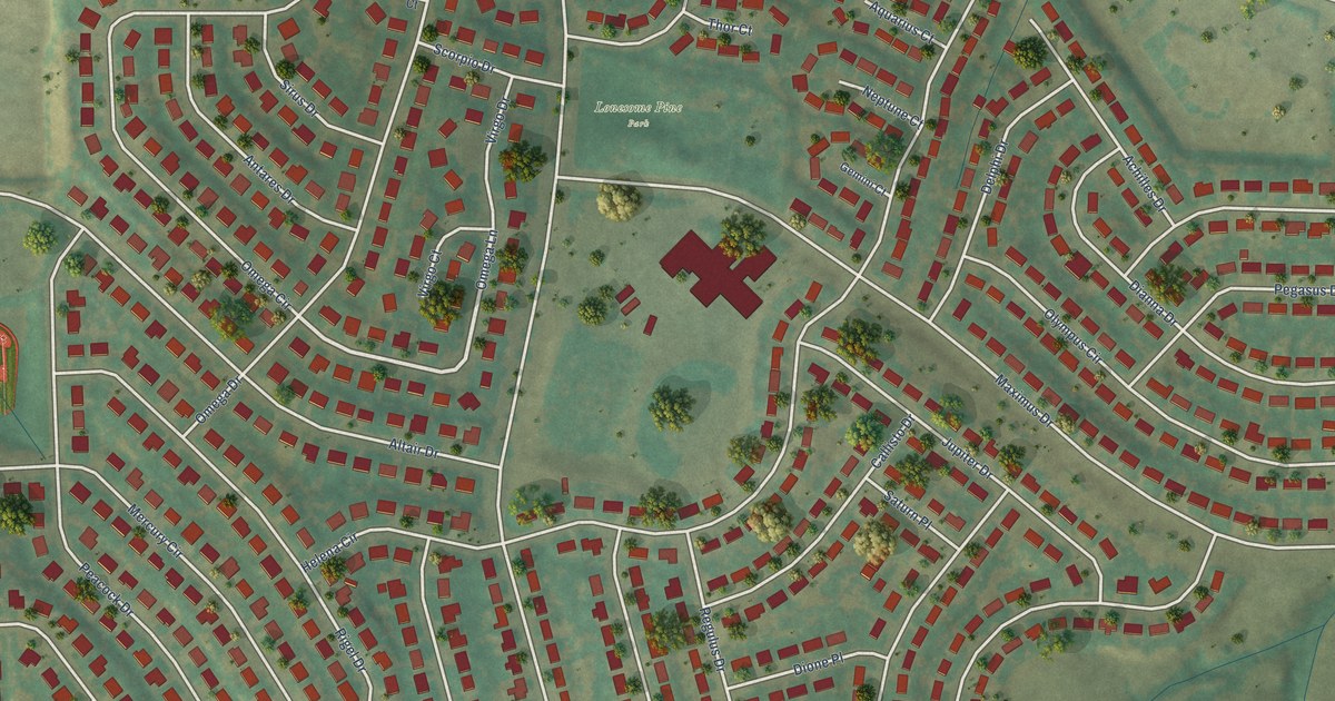
A detailed map of Acres Green, Colorado, showing every building in its true location, the roads by name, and shaded topographical relief.
Read More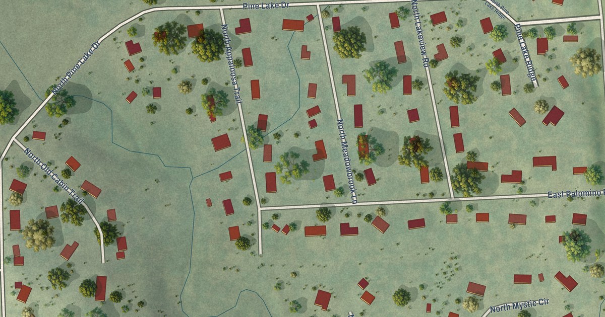
A detailed map of Pine Lakes Addition, South Dakota, showing every building in its true location, the roads by name, and shaded topographical relief.
Read More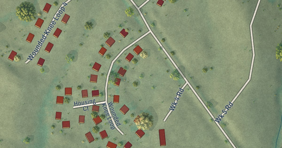
A detailed map of Wounded Knee, South Dakota, showing every building in its true location, the roads by name, and shaded topographical relief.
Read More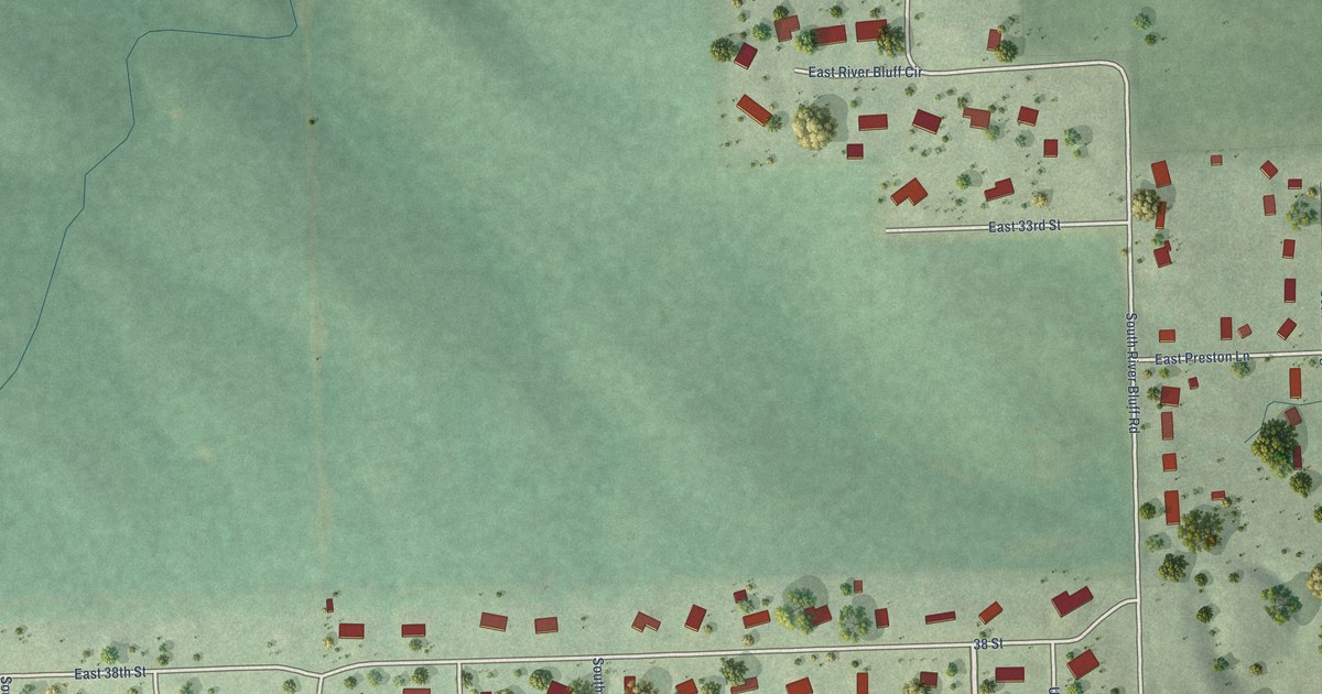
A detailed map of Anderson, South Dakota, showing every building in its true location, the roads by name, and shaded topographical relief.
Read More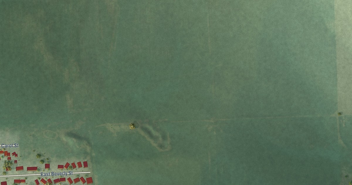
A detailed map of Meadow View Addition, South Dakota, showing every building in its true location, the roads by name, and shaded topographical relief.
Read More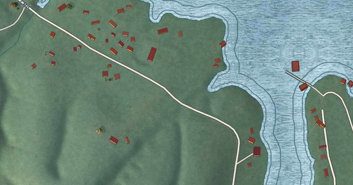
A detailed map of Drowning Creek, Oklahoma, showing every building in its true location, the roads by name, and shaded topographical relief.
Read More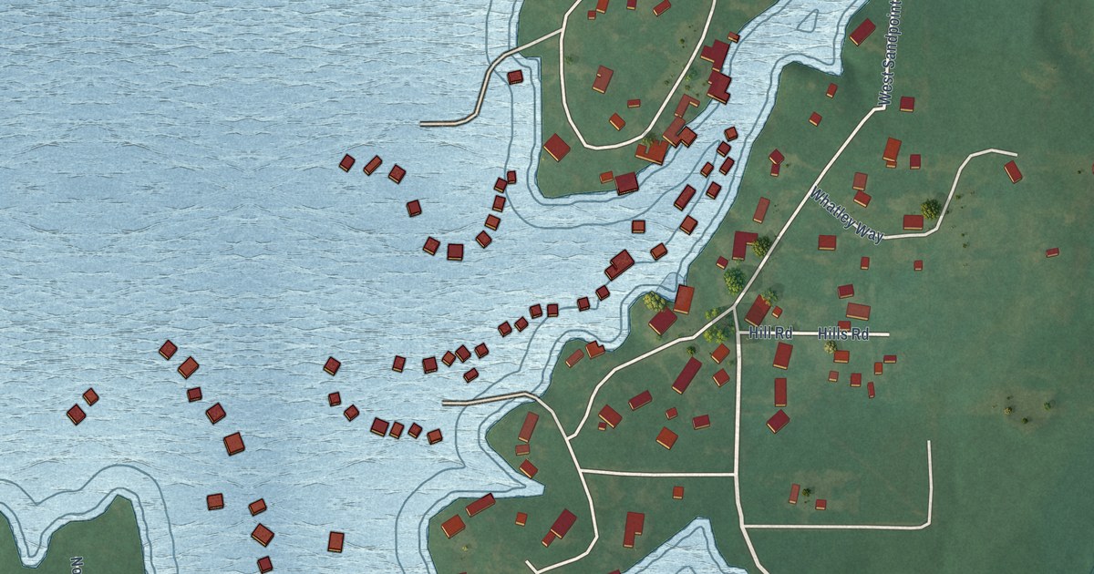
A detailed map of Sand Point, Oklahoma, showing every building in its true location, the roads by name, and shaded topographical relief.
Read More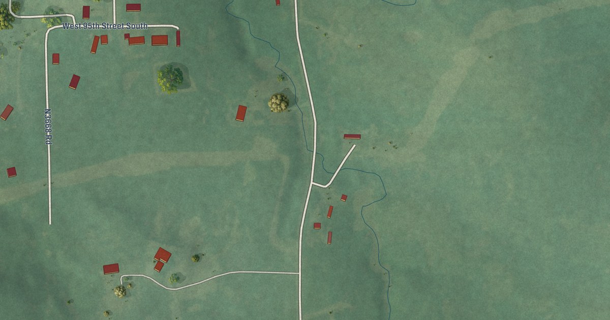
A detailed map of Olive, Oklahoma, showing every building in its true location, the roads by name, and shaded topographical relief.
Read More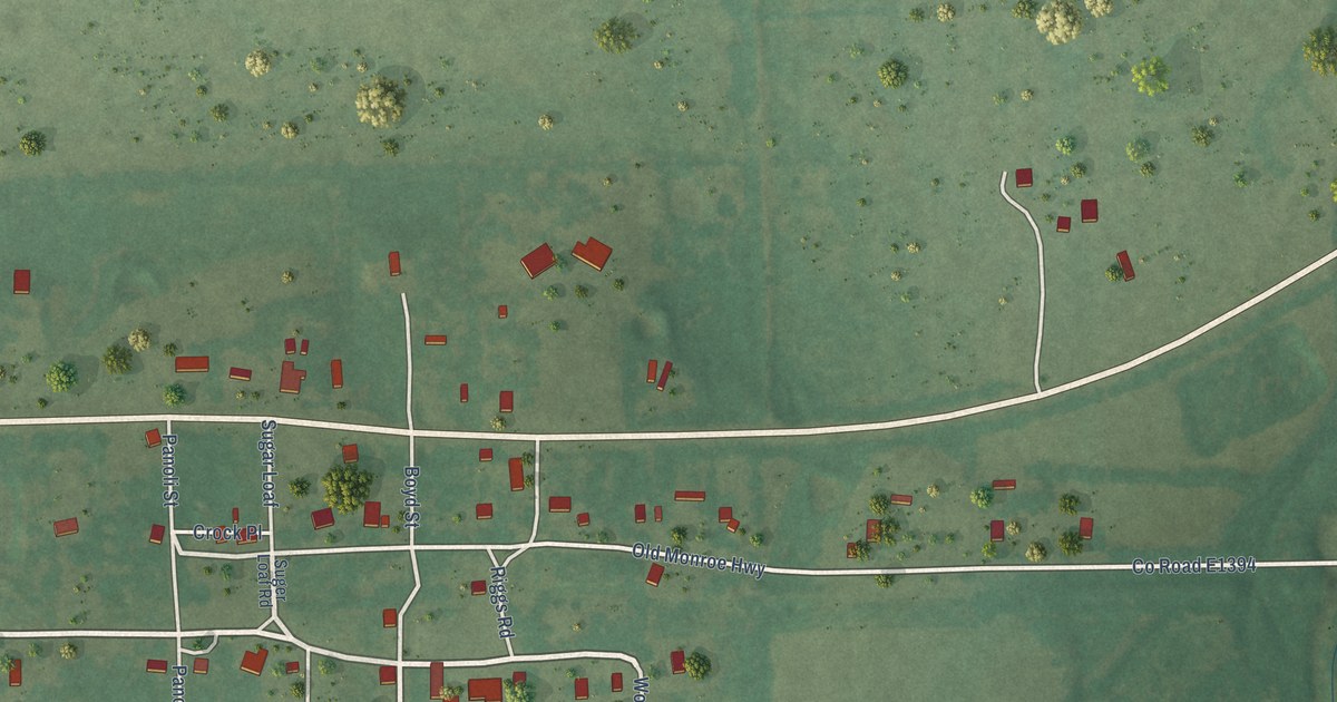
A detailed map of Monroe, Oklahoma, showing every building in its true location, the roads by name, and shaded topographical relief.
Read More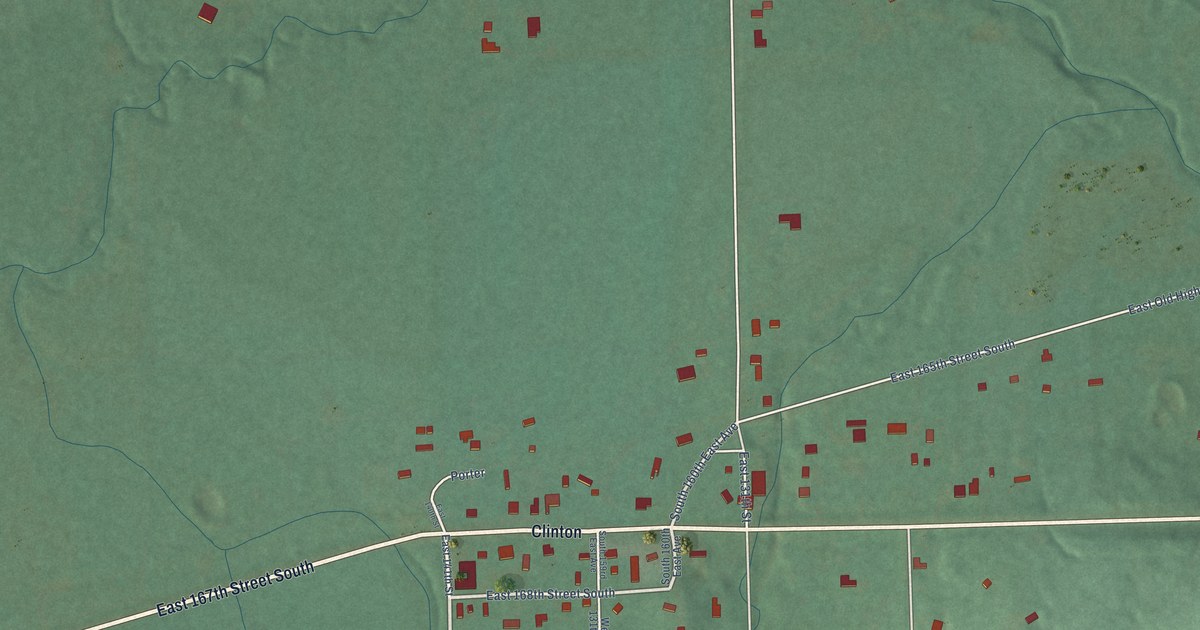
A detailed map of Leonard, Oklahoma, showing every building in its true location, the roads by name, and shaded topographical relief.
Read More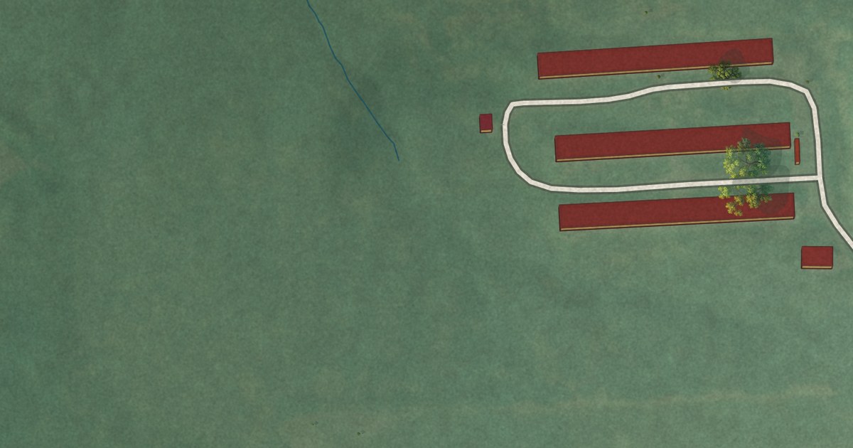
A detailed map of Cowlington, Oklahoma, showing every building in its true location, the roads by name, and shaded topographical relief.
Read More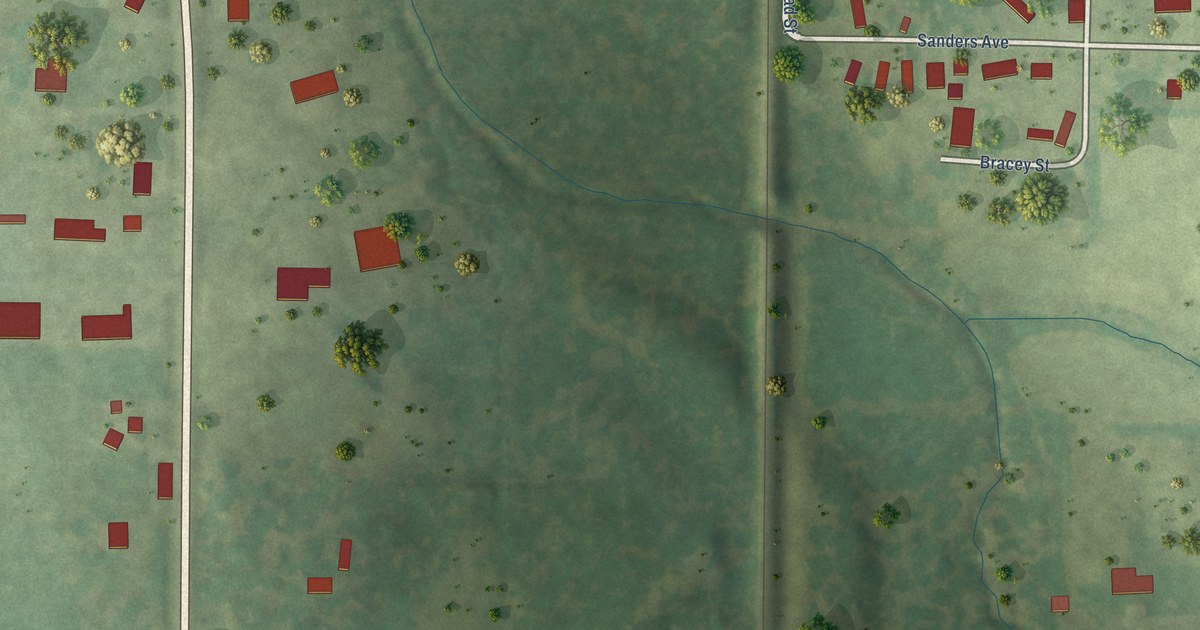
A detailed map of Whiteash, Illinois, showing every building in its true location, the roads by name, and shaded topographical relief.
Read More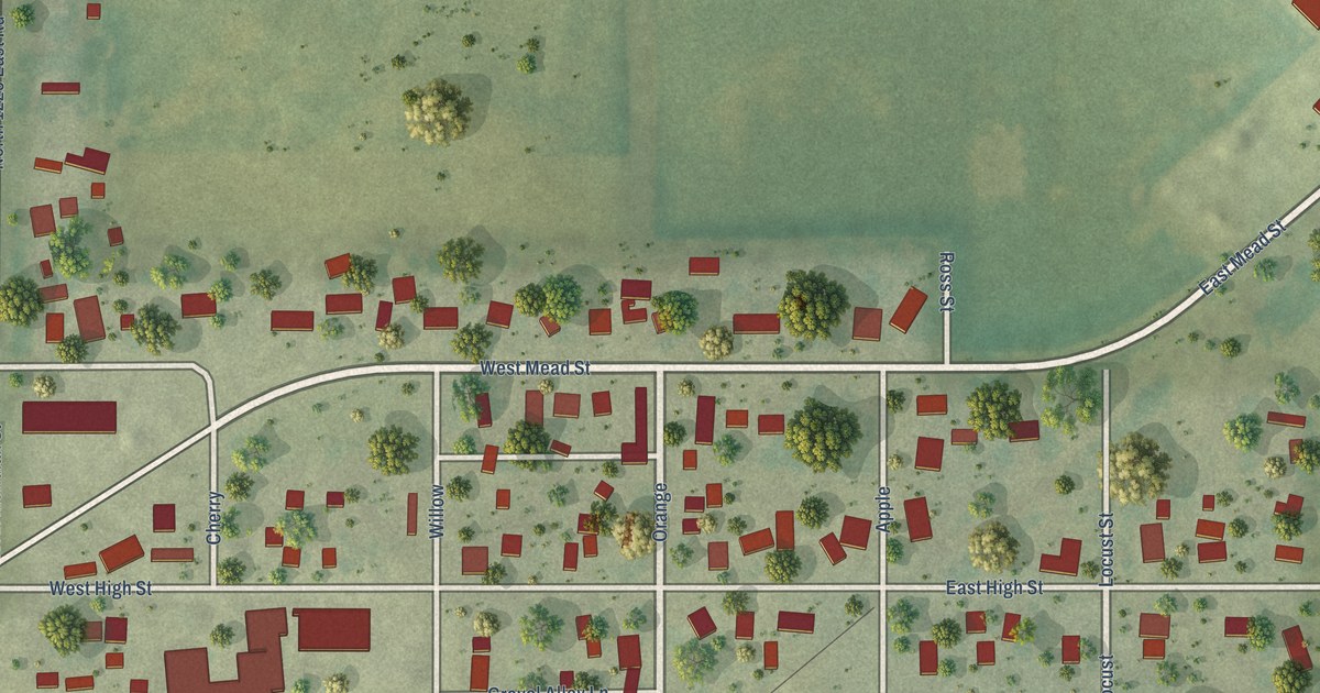
A detailed map of White Heath, Illinois, showing every building in its true location, the roads by name, and shaded topographical relief.
Read More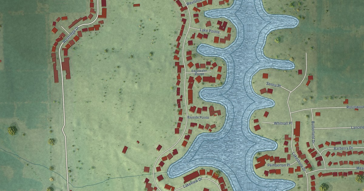
A detailed map of Westlake Village, Illinois, showing every building in its true location, the roads by name, and shaded topographical relief.
Read More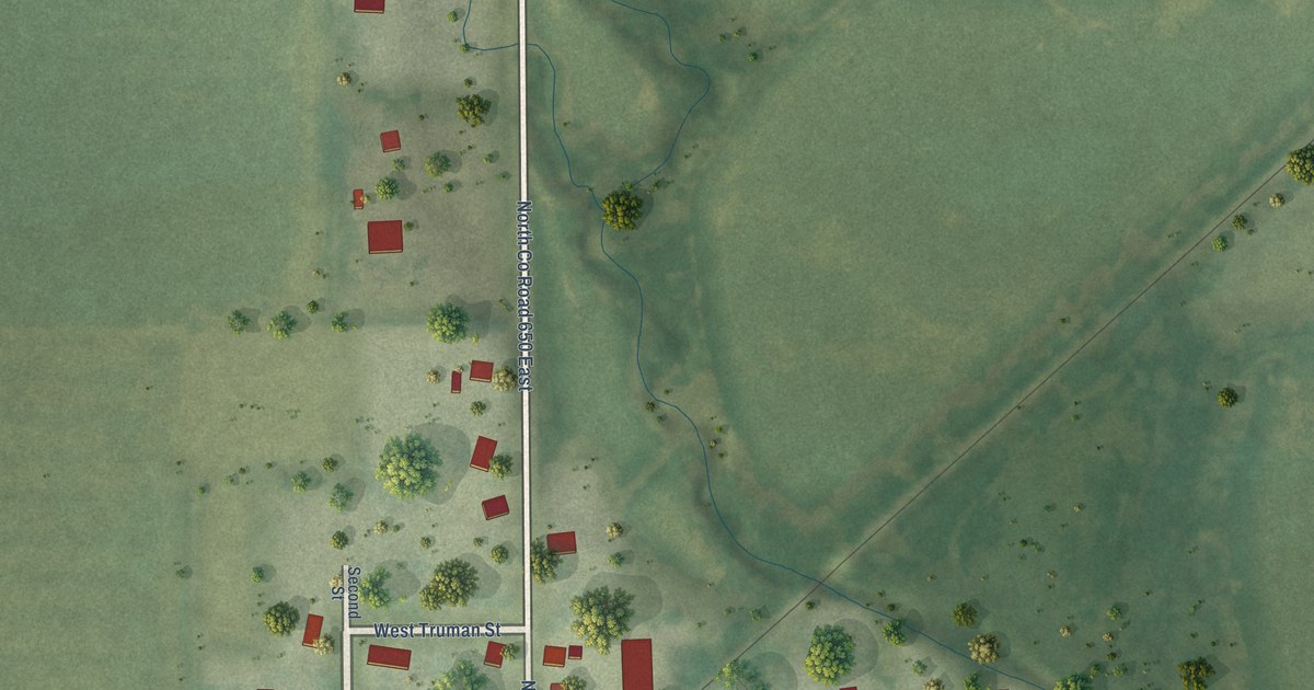
A detailed map of Trilla, Illinois, showing every building in its true location, the roads by name, and shaded topographical relief.
Read More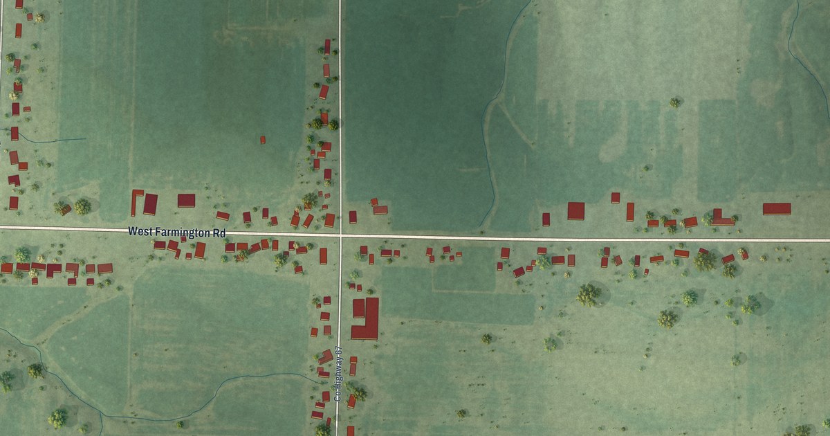
A detailed map of Trivoli, Illinois, showing every building in its true location, the roads by name, and shaded topographical relief.
Read More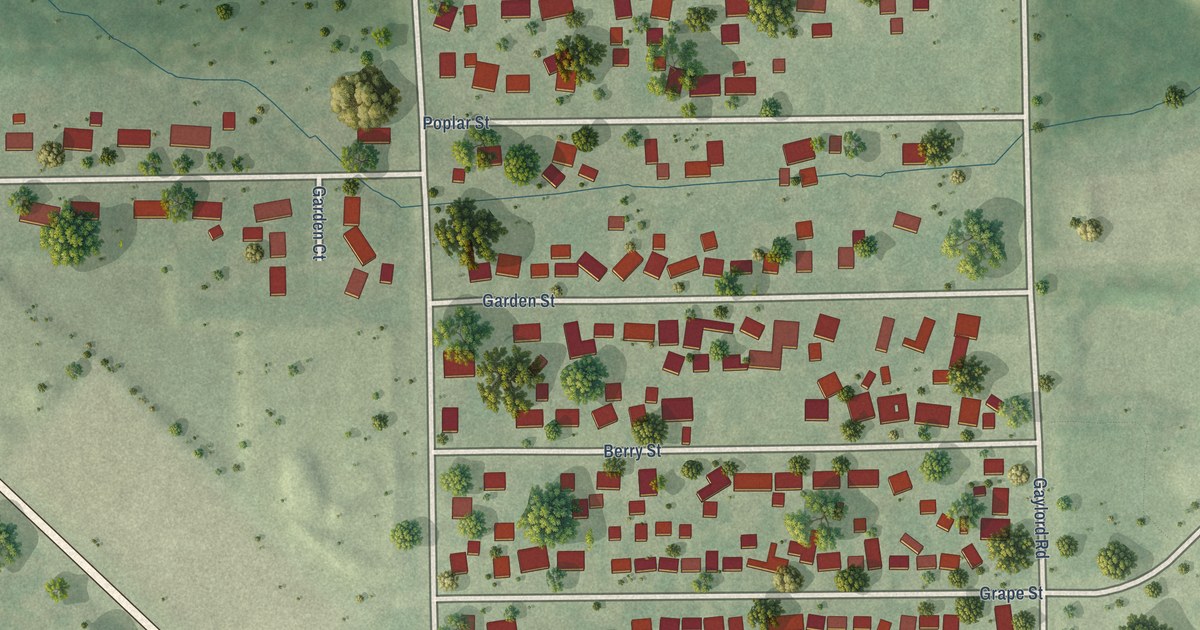
A detailed map of Sunnyland, Illinois, showing every building in its true location, the roads by name, and shaded topographical relief.
Read More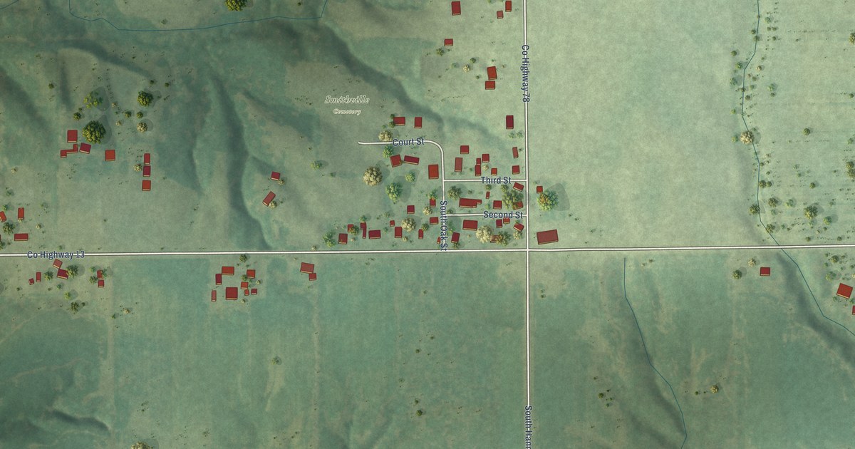
A detailed map of Smithville, Illinois, showing every building in its true location, the roads by name, and shaded topographical relief.
Read More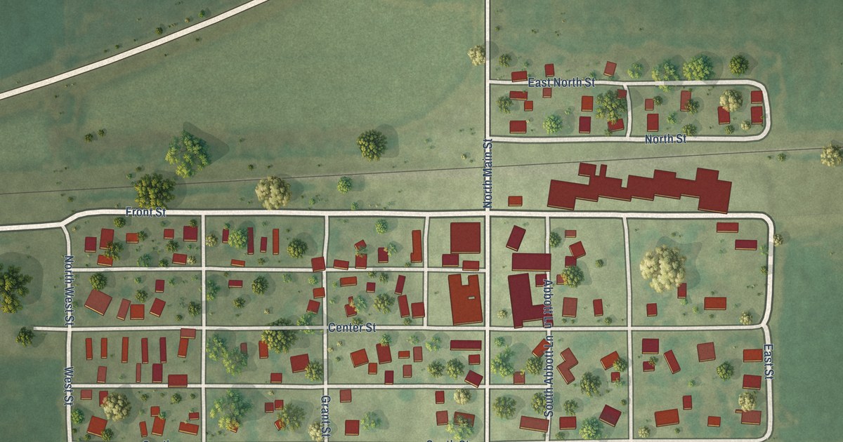
A detailed map of Seymour, Illinois, showing every building in its true location, the roads by name, and shaded topographical relief.
Read More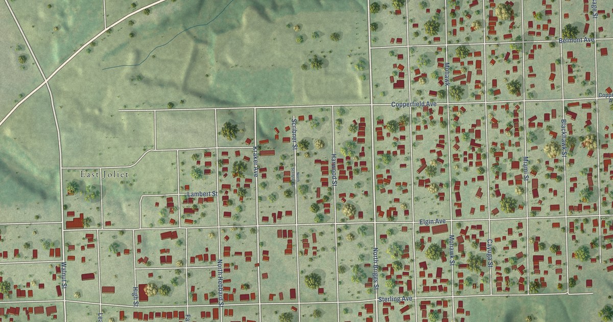
A detailed map of Ridgewood, Illinois, showing every building in its true location, the roads by name, and shaded topographical relief.
Read More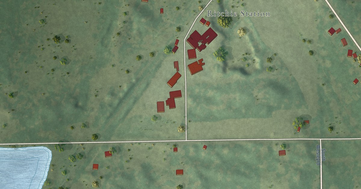
A detailed map of Ritchie, Illinois, showing every building in its true location, the roads by name, and shaded topographical relief.
Read More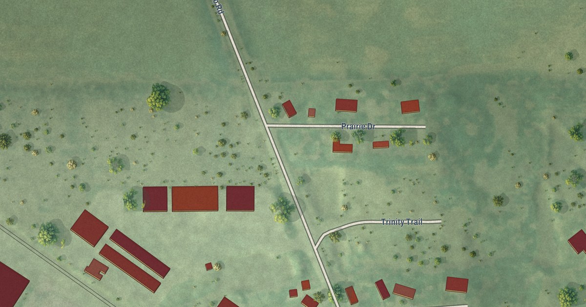
A detailed map of Ridgefield, Illinois, showing every building in its true location, the roads by name, and shaded topographical relief.
Read More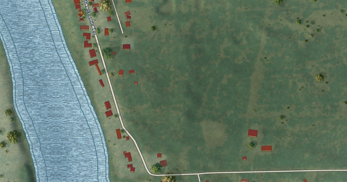
A detailed map of Rest Haven, Illinois, showing every building in its true location, the roads by name, and shaded topographical relief.
Read More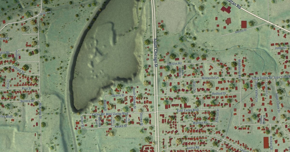
A detailed map of Preston Heights, Illinois, showing every building in its true location, the roads by name, and shaded topographical relief.
Read More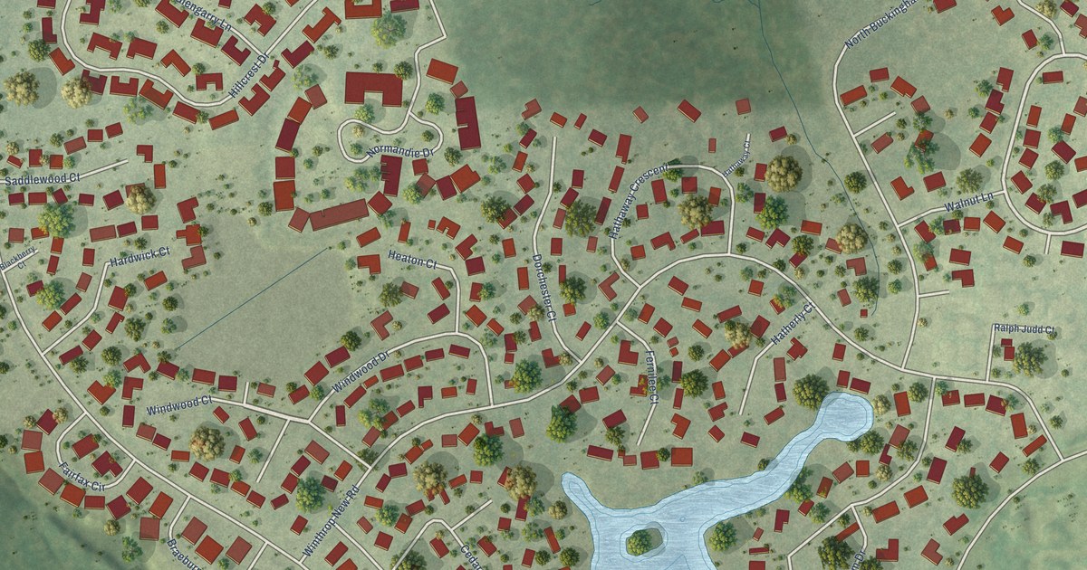
A detailed map of Prestbury, Illinois, showing every building in its true location, the roads by name, and shaded topographical relief.
Read More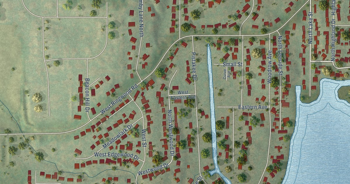
A detailed map of Pistakee Highlands, Illinois, showing every building in its true location, the roads by name, and shaded topographical relief.
Read More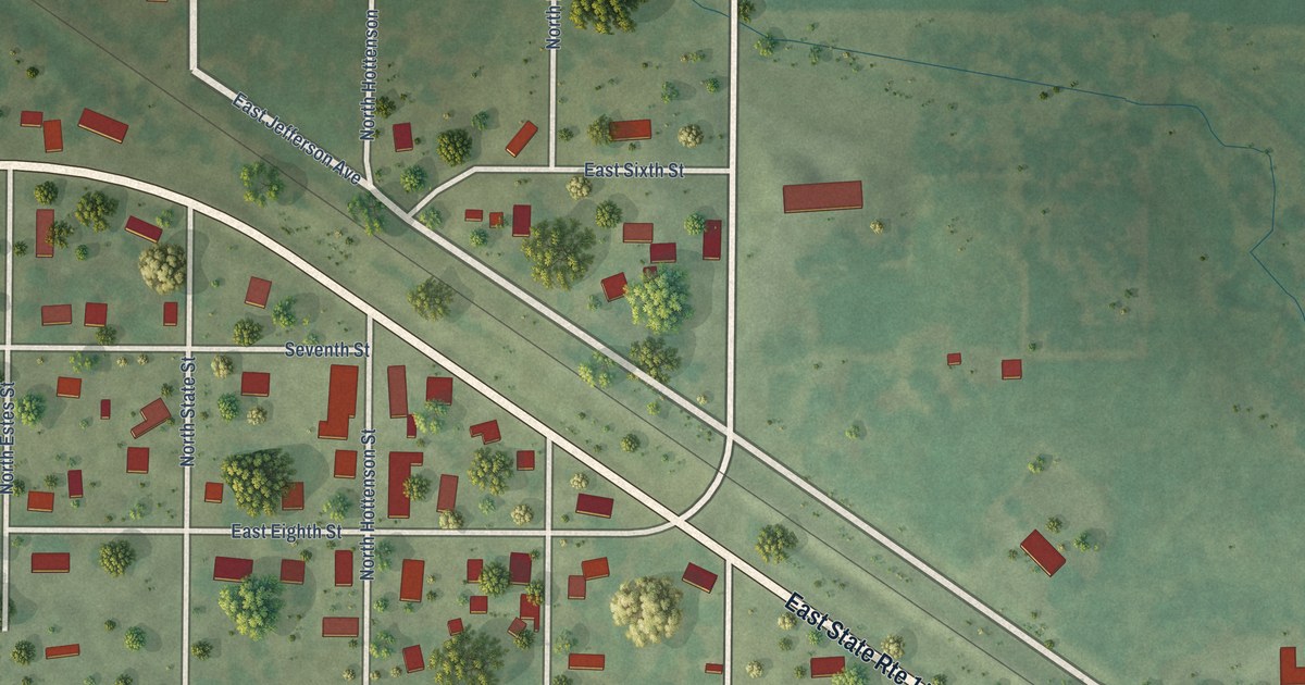
A detailed map of Opdyke, Illinois, showing every building in its true location, the roads by name, and shaded topographical relief.
Read More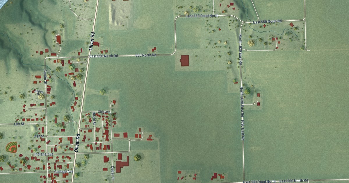
A detailed map of Olivet, Illinois, showing every building in its true location, the roads by name, and shaded topographical relief.
Read More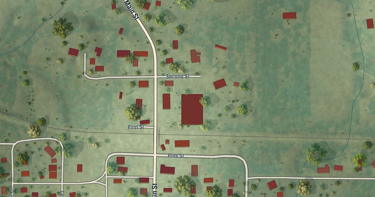
A detailed map of Mulkeytown, Illinois, showing every building in its true location, the roads by name, and shaded topographical relief.
Read More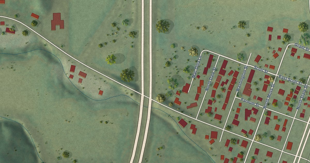
A detailed map of Mossville, Illinois, showing every building in its true location, the roads by name, and shaded topographical relief.
Read More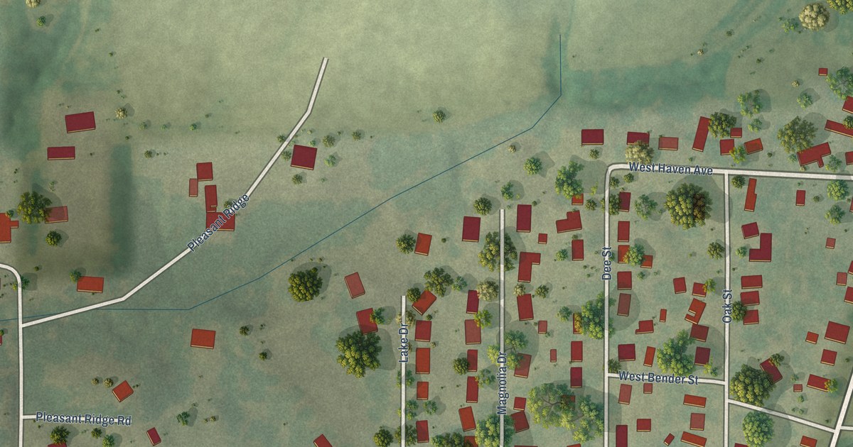
A detailed map of Moro, Illinois, showing every building in its true location, the roads by name, and shaded topographical relief.
Read More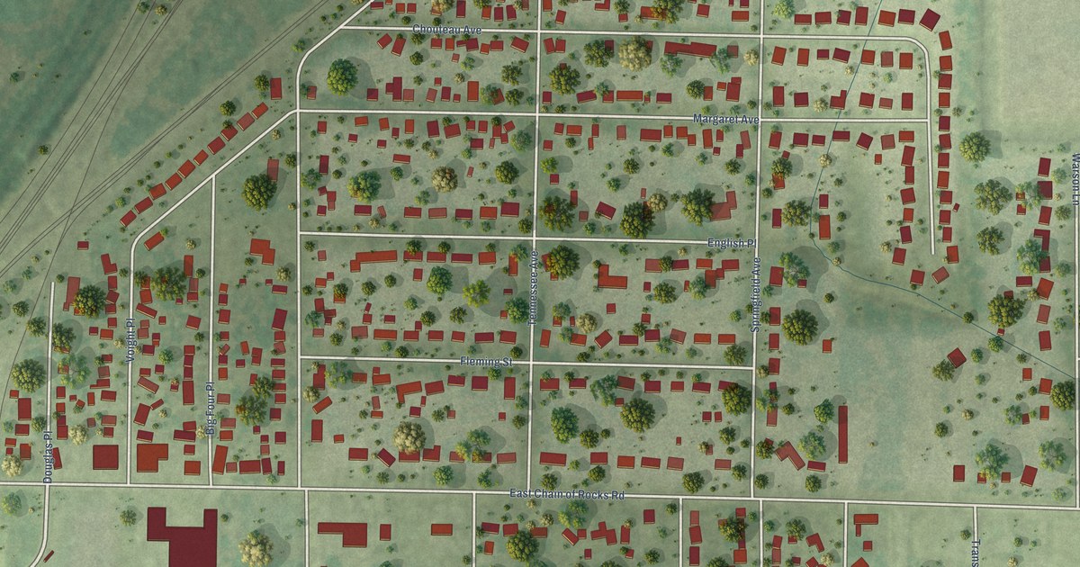
A detailed map of Mitchell, Illinois, showing every building in its true location, the roads by name, and shaded topographical relief.
Read More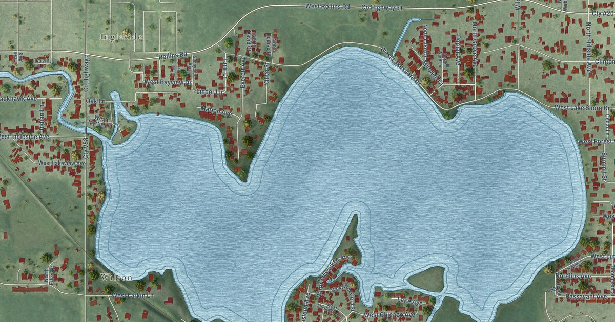
A detailed map of Long Lake, Illinois, showing every building in its true location, the roads by name, and shaded topographical relief.
Read More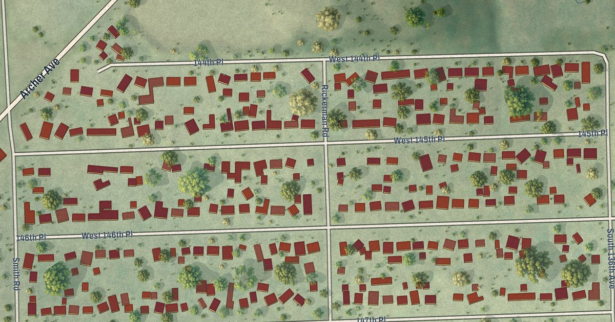
A detailed map of Lockport Heights, Illinois, showing every building in its true location, the roads by name, and shaded topographical relief.
Read More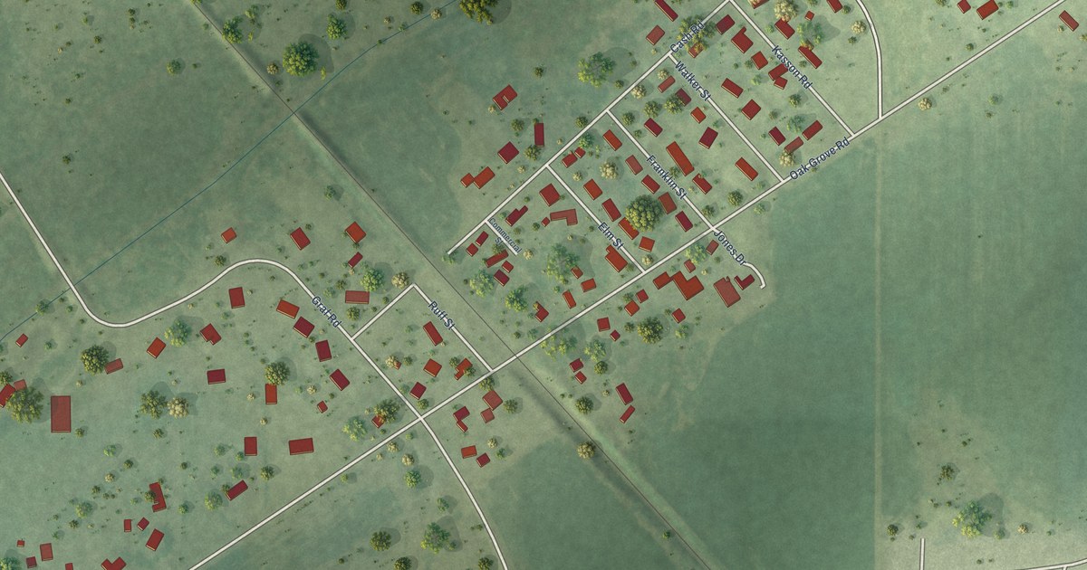
A detailed map of Lawrence, Illinois, showing every building in its true location, the roads by name, and shaded topographical relief.
Read More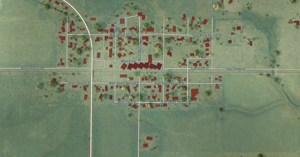
A detailed map of LaPlace, Illinois, showing every building in its true location, the roads by name, and shaded topographical relief.
Read More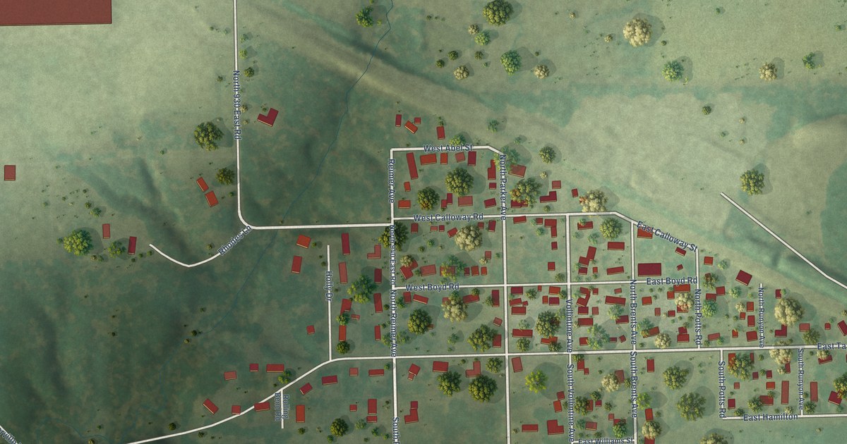
A detailed map of Langleyville, Illinois, showing every building in its true location, the roads by name, and shaded topographical relief.
Read More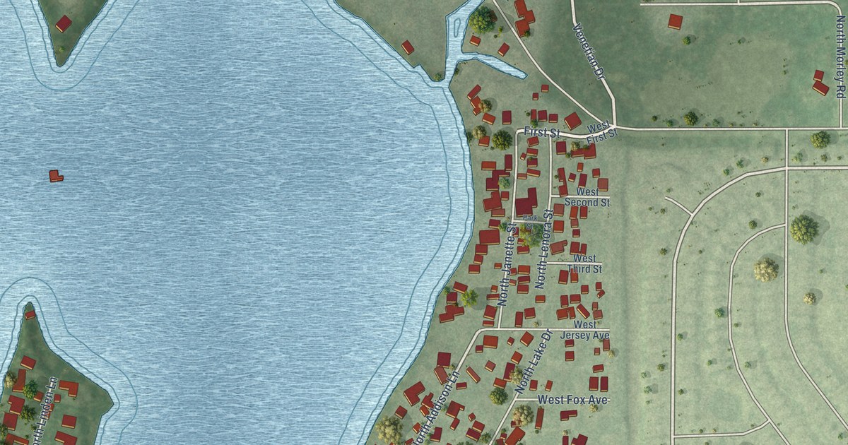
A detailed map of Lake Catherine, Illinois, showing every building in its true location, the roads by name, and shaded topographical relief.
Read More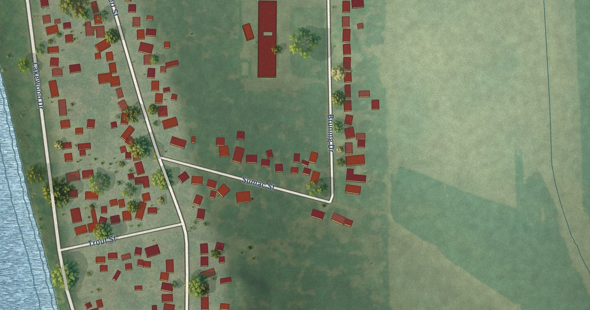
A detailed map of Lakewood Shores, Illinois, showing every building in its true location, the roads by name, and shaded topographical relief.
Read More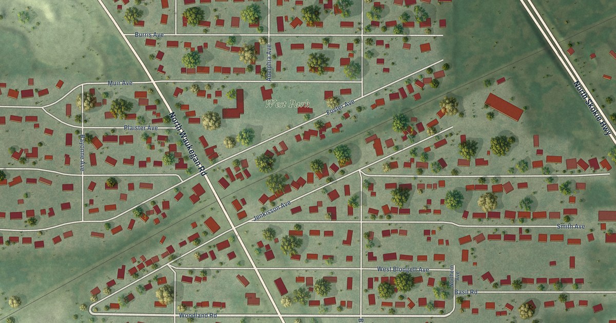
A detailed map of Knollwood, Illinois, showing every building in its true location, the roads by name, and shaded topographical relief.
Read More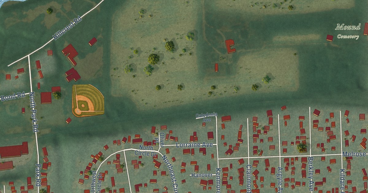
A detailed map of Ingalls Park, Illinois, showing every building in its true location, the roads by name, and shaded topographical relief.
Read More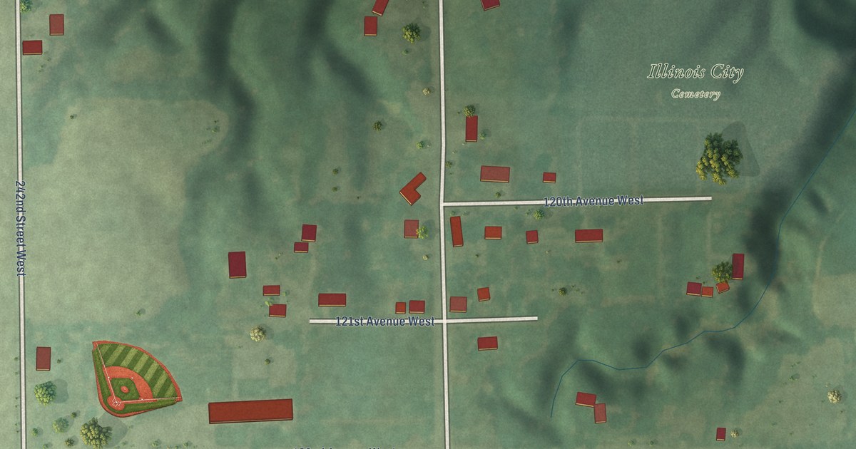
A detailed map of Illinois City, Illinois, showing every building in its true location, the roads by name, and shaded topographical relief.
Read More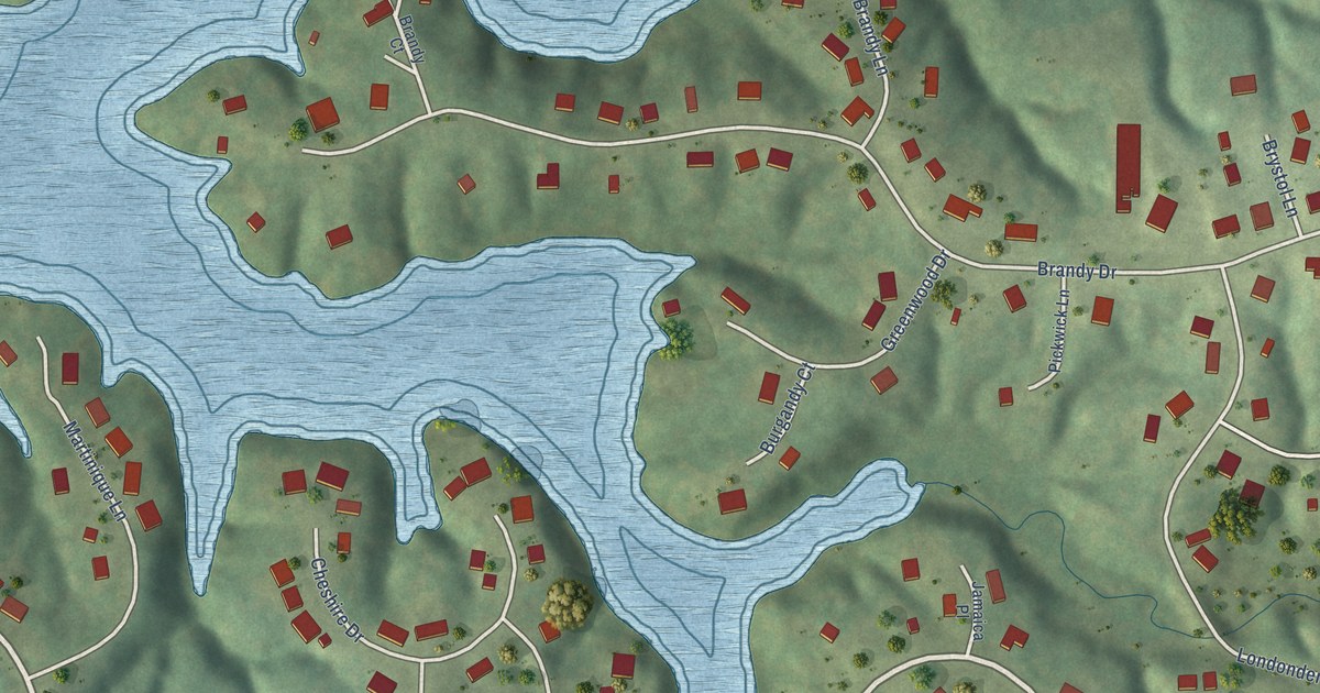
A detailed map of Heritage Lake, Illinois, showing every building in its true location, the roads by name, and shaded topographical relief.
Read More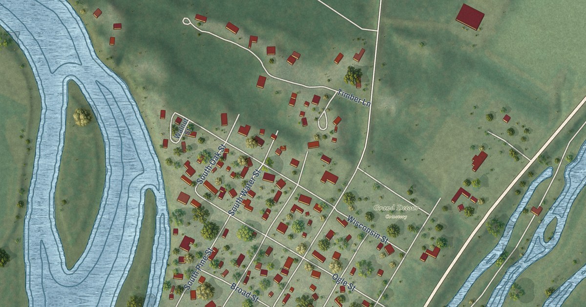
A detailed map of Grand Detour, Illinois, showing every building in its true location, the roads by name, and shaded topographical relief.
Read More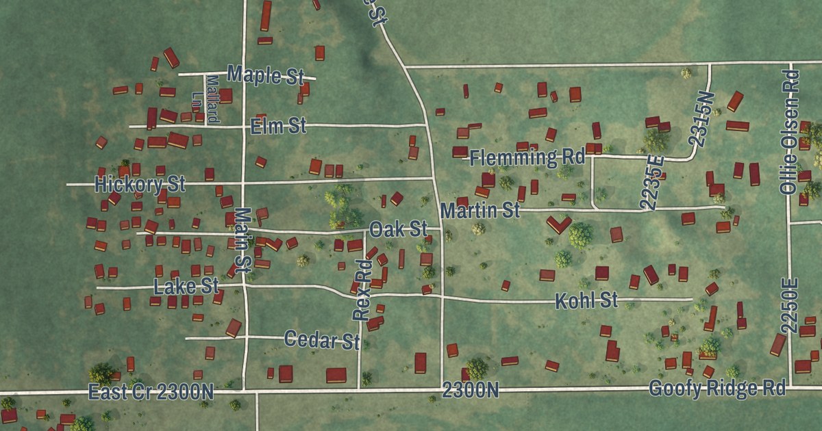
A detailed map of Goofy Ridge, Illinois, showing every building in its true location, the roads by name, and shaded topographical relief.
Read More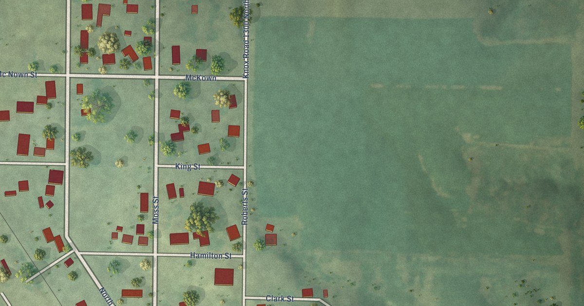
A detailed map of Gilson, Illinois, showing every building in its true location, the roads by name, and shaded topographical relief.
Read More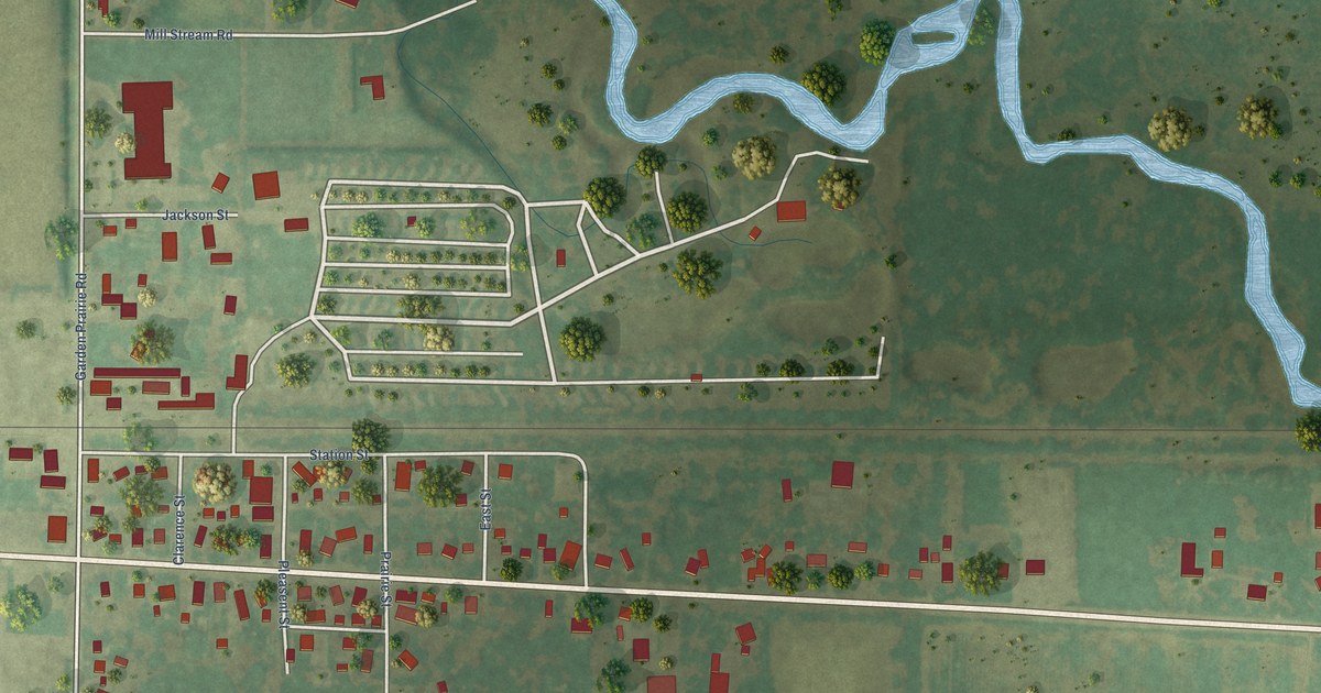
A detailed map of Garden Prairie, Illinois, showing every building in its true location, the roads by name, and shaded topographical relief.
Read More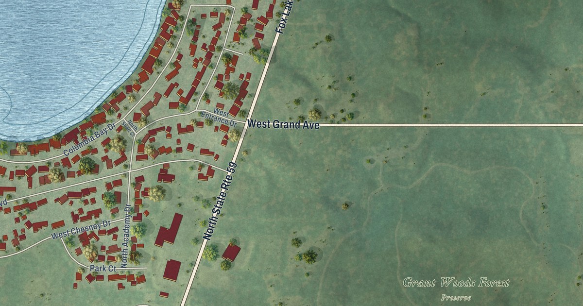
A detailed map of Fox Lake Hills, Illinois, showing every building in its true location, the roads by name, and shaded topographical relief.
Read More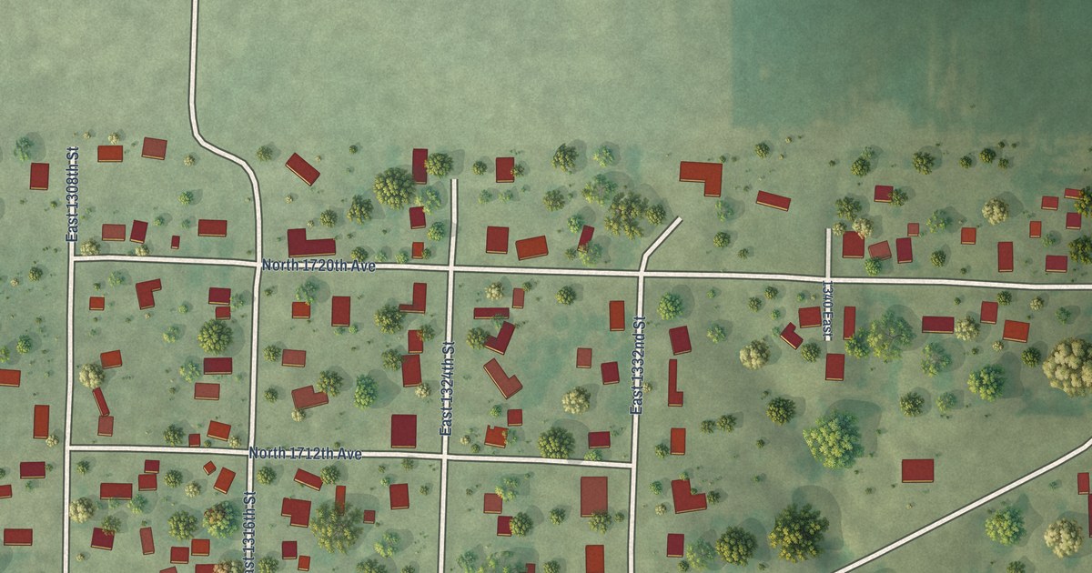
A detailed map of Fowler, Illinois, showing every building in its true location, the roads by name, and shaded topographical relief.
Read More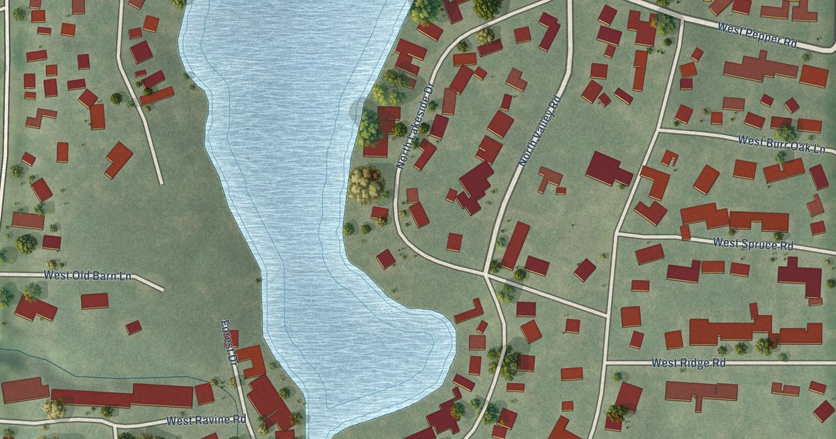
A detailed map of Forest Lake, Illinois, showing every building in its true location, the roads by name, and shaded topographical relief.
Read More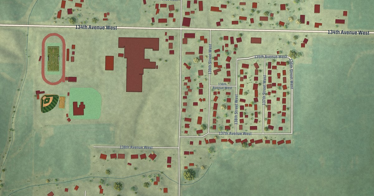
A detailed map of Edgington, Illinois, showing every building in its true location, the roads by name, and shaded topographical relief.
Read More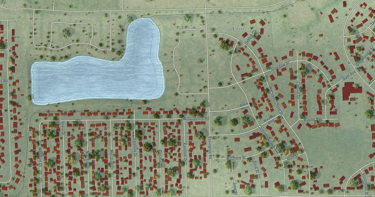
A detailed map of Crystal Lawns, Illinois, showing every building in its true location, the roads by name, and shaded topographical relief.
Read More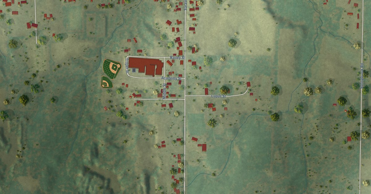
A detailed map of Crab Orchard, Illinois, showing every building in its true location, the roads by name, and shaded topographical relief.
Read More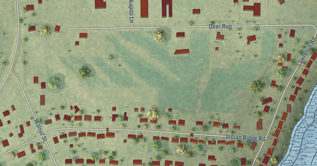
A detailed map of Como, Illinois, showing every building in its true location, the roads by name, and shaded topographical relief.
Read More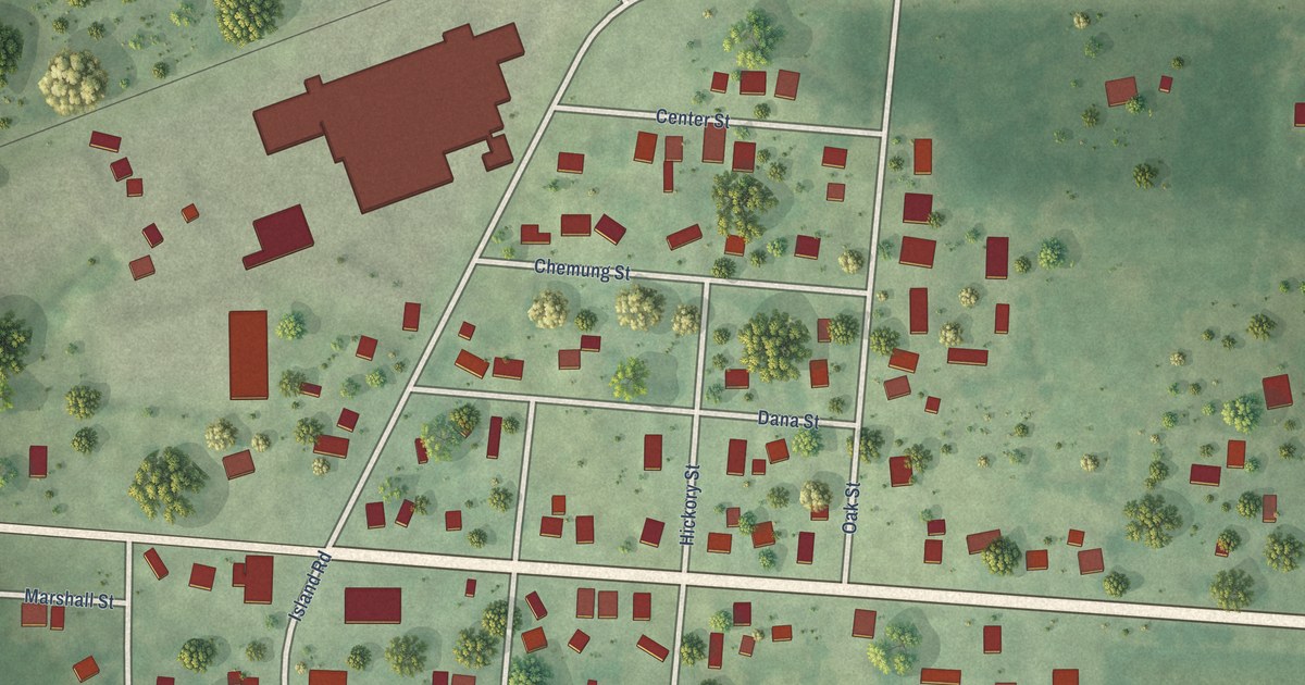
A detailed map of Chemung, Illinois, showing every building in its true location, the roads by name, and shaded topographical relief.
Read More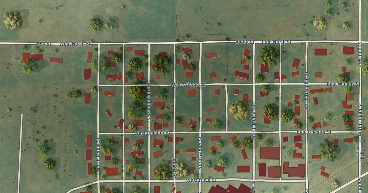
A detailed map of Chestnut, Illinois, showing every building in its true location, the roads by name, and shaded topographical relief.
Read More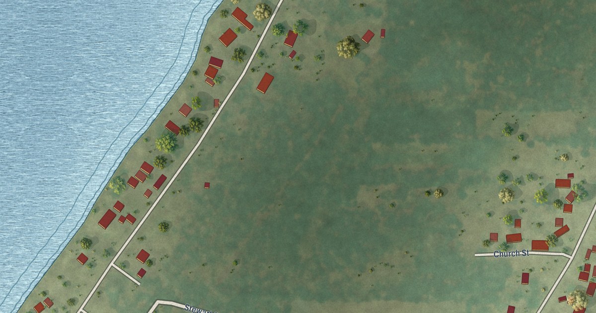
A detailed map of Campbell’s Island, Illinois, showing every building in its true location, the roads by name, and shaded topographical relief.
Read More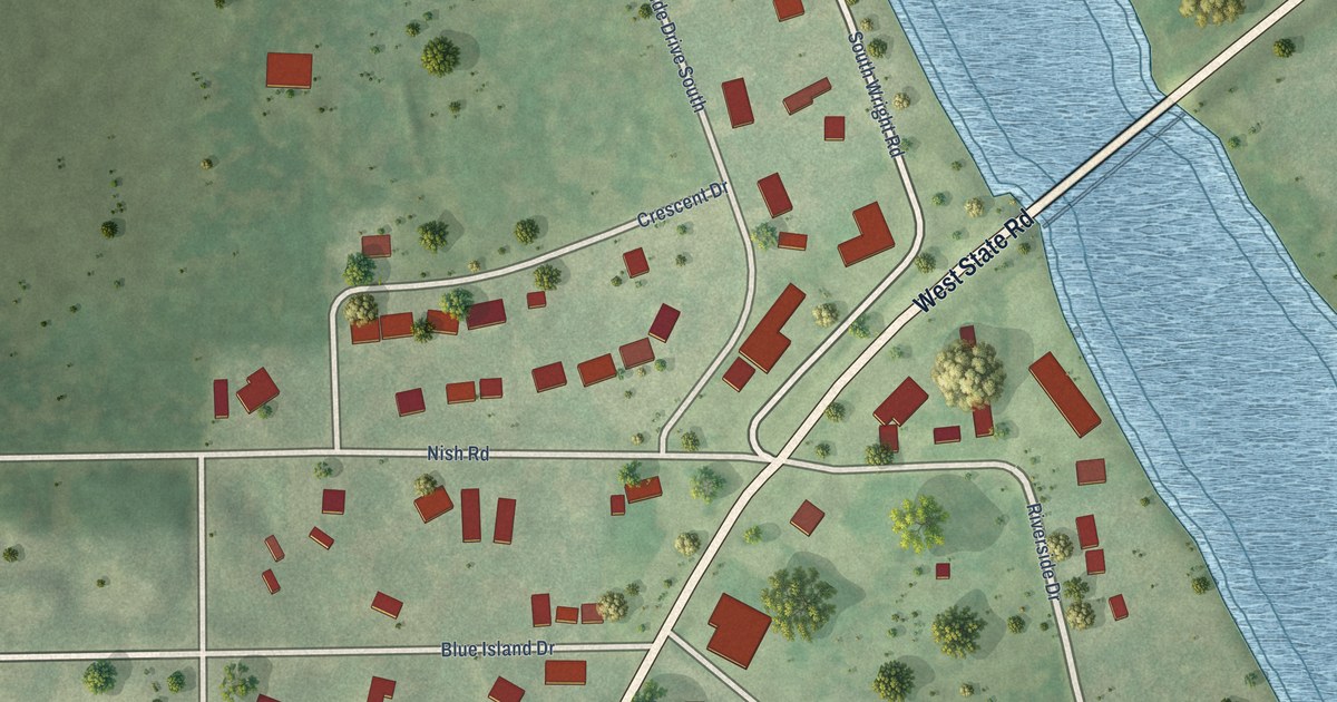
A detailed map of Burtons Bridge, Illinois, showing every building in its true location, the roads by name, and shaded topographical relief.
Read More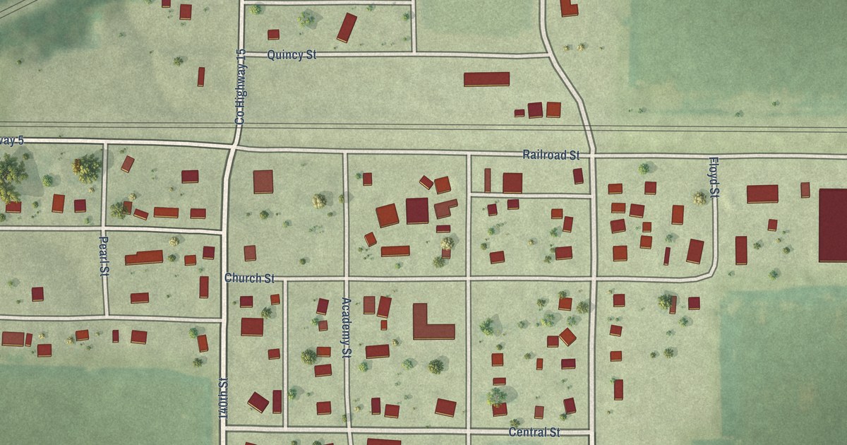
A detailed map of Cameron, Illinois, showing every building in its true location, the roads by name, and shaded topographical relief.
Read More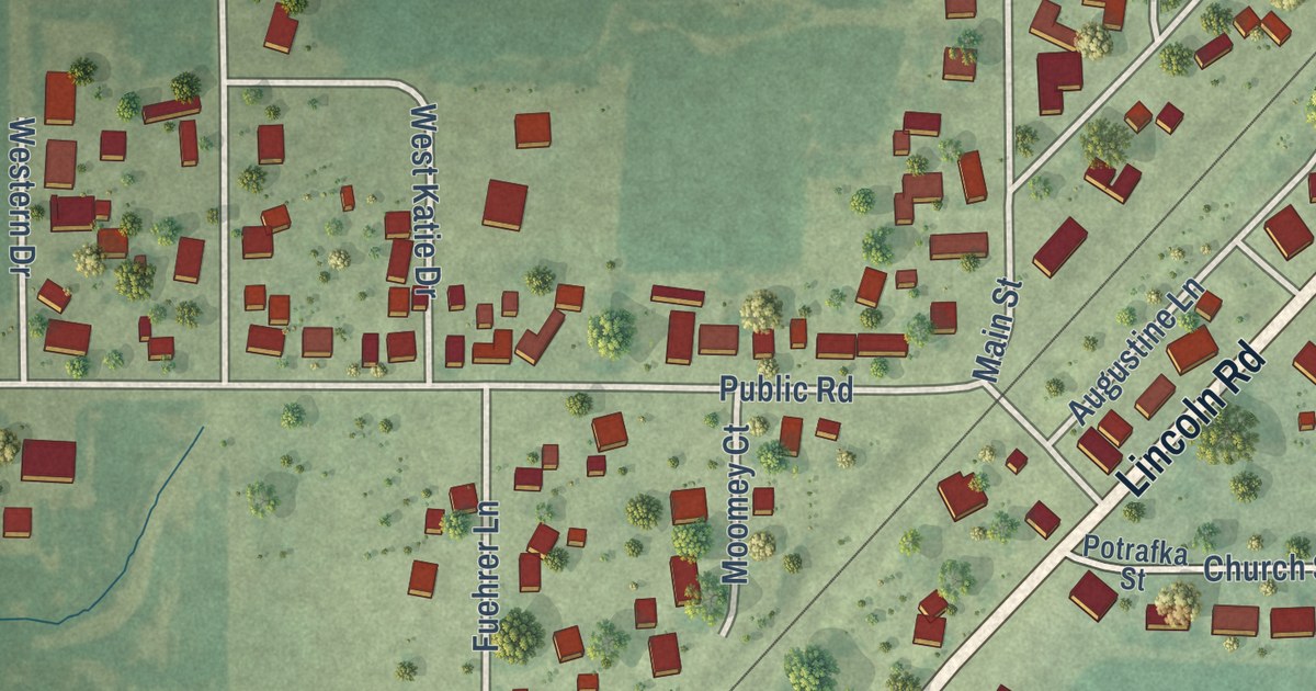
A detailed map of Boody, Illinois, showing every building in its true location, the roads by name, and shaded topographical relief.
Read More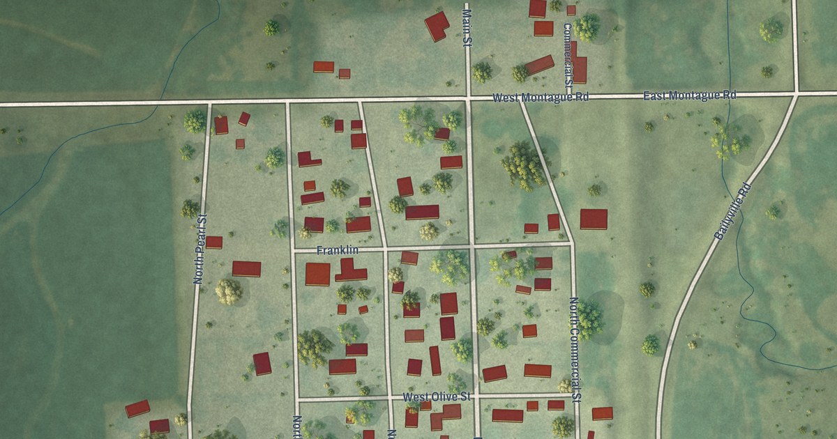
A detailed map of Baileyville, Illinois, showing every building in its true location, the roads by name, and shaded topographical relief.
Read More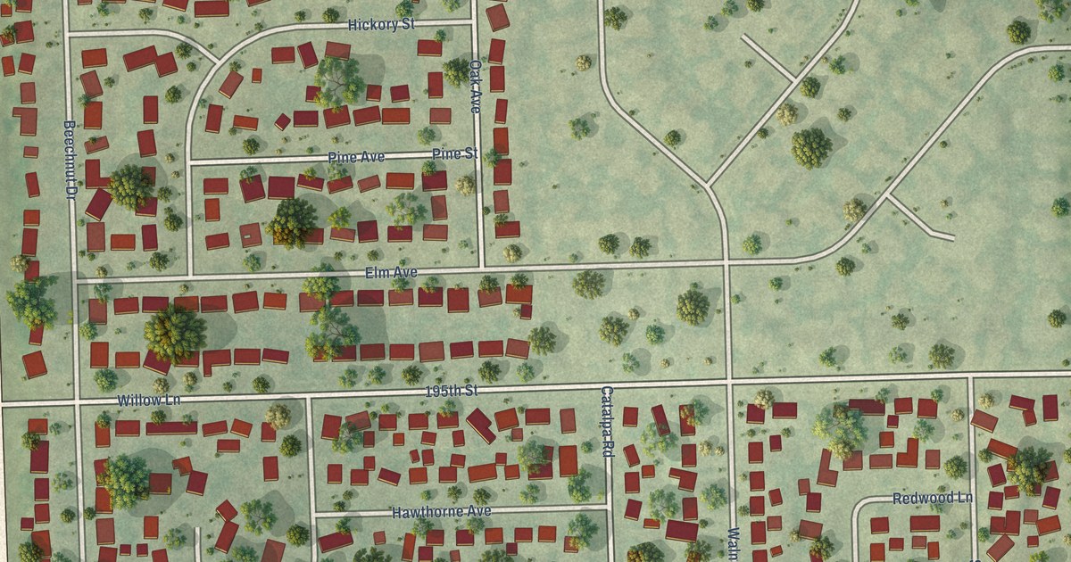
A detailed map of Arbury Hills, Illinois, showing every building in its true location, the roads by name, and shaded topographical relief.
Read More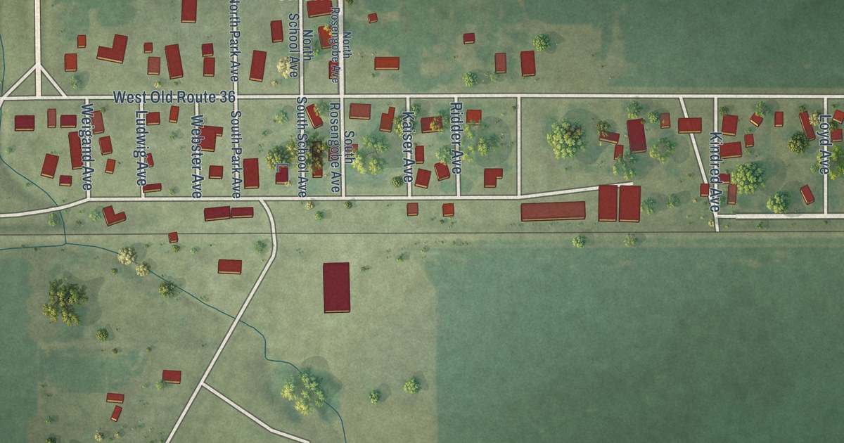
A detailed map of Alexander, Illinois, showing every building in its true location, the roads by name, and shaded topographical relief.
Read More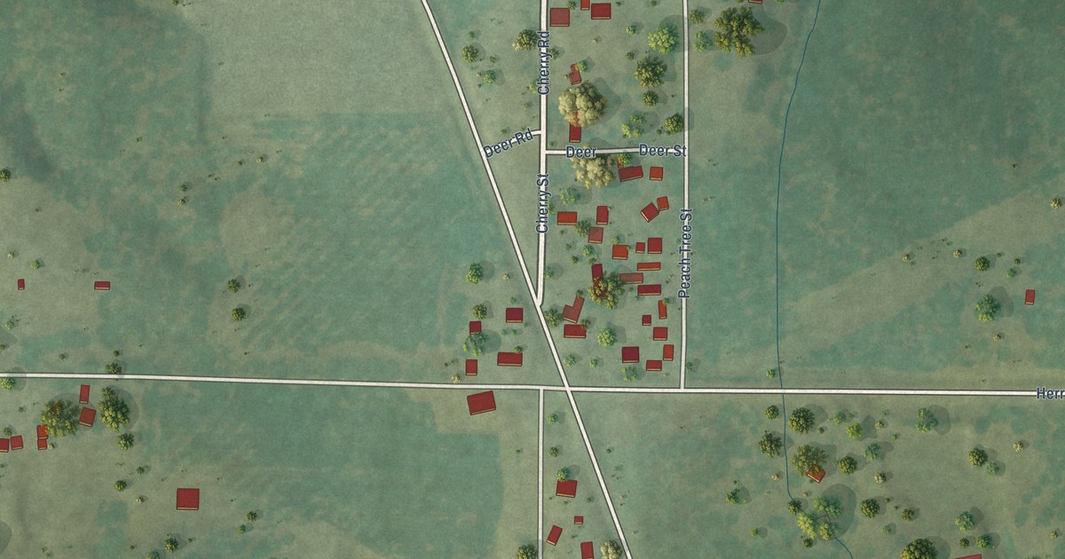
A detailed map of Blairsville, Illinois, showing every building in its true location, the roads by name, and shaded topographical relief.
Read More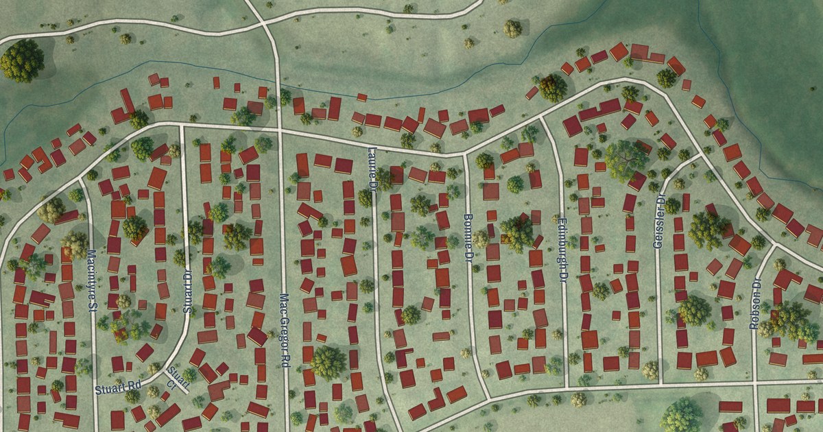
A detailed map of Bonnie Brae, Illinois, showing every building in its true location, the roads by name, and shaded topographical relief.
Read More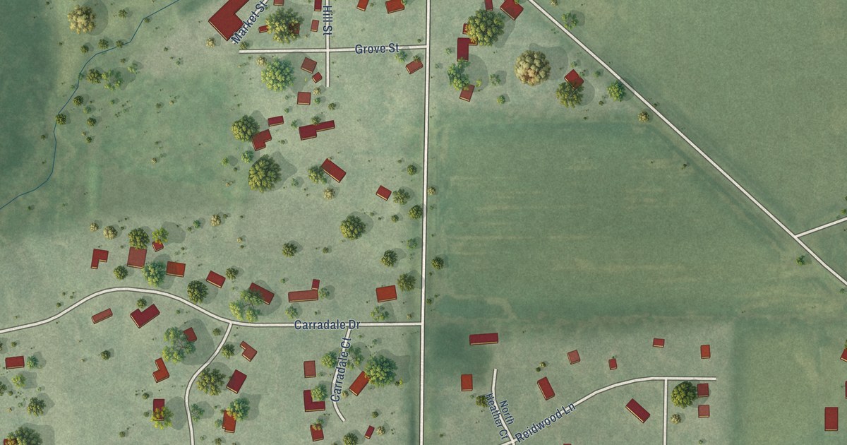
A detailed map of Argyle, Illinois, showing every building in its true location, the roads by name, and shaded topographical relief.
Read More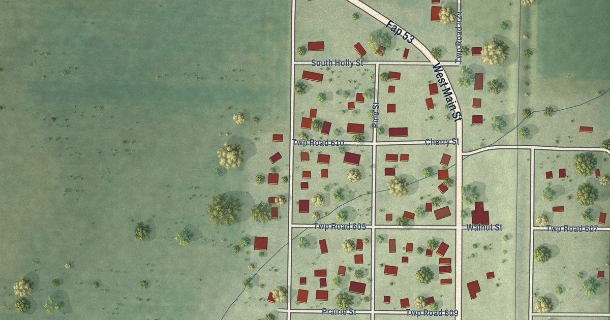
A detailed map of Adair, Illinois, showing every building in its true location, the roads by name, and shaded topographical relief.
Read More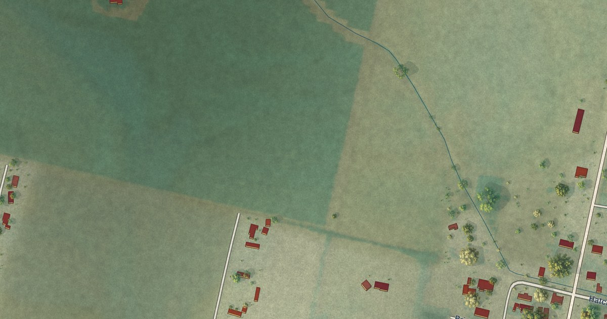
A detailed map of Tivoli, Texas, showing every building in its true location, the roads by name, and shaded topographical relief.
Read More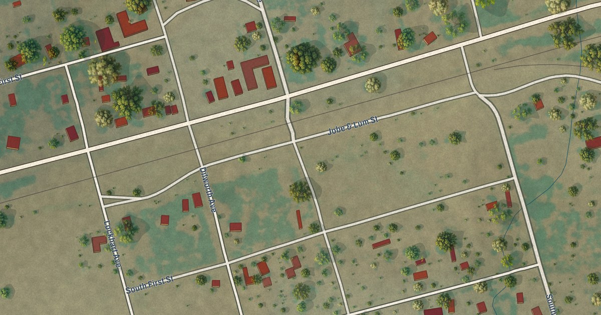
A detailed map of Harwood, Texas, showing every building in its true location, the roads by name, and shaded topographical relief.
Read More















