Detailed Map of Denmark Parish, New Brunswick
A detailed map of Denmark Parish, New Brunswick, showing every building in its true location, the roads by name, and shaded topographical relief.
Read More
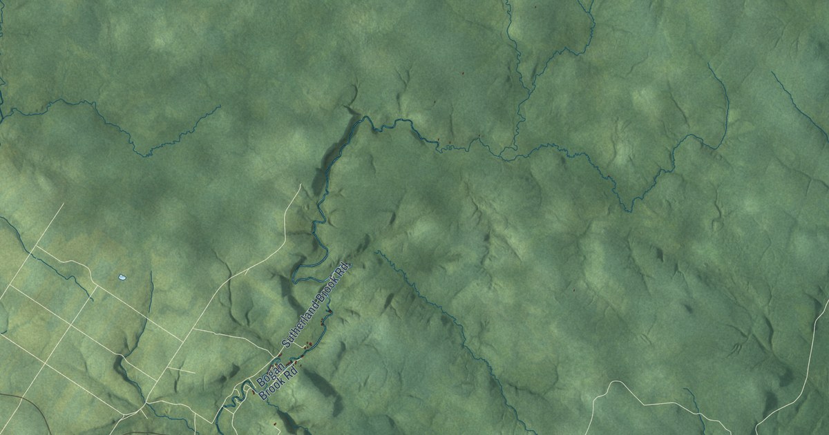
A detailed map of Denmark Parish, New Brunswick, showing every building in its true location, the roads by name, and shaded topographical relief.
Read More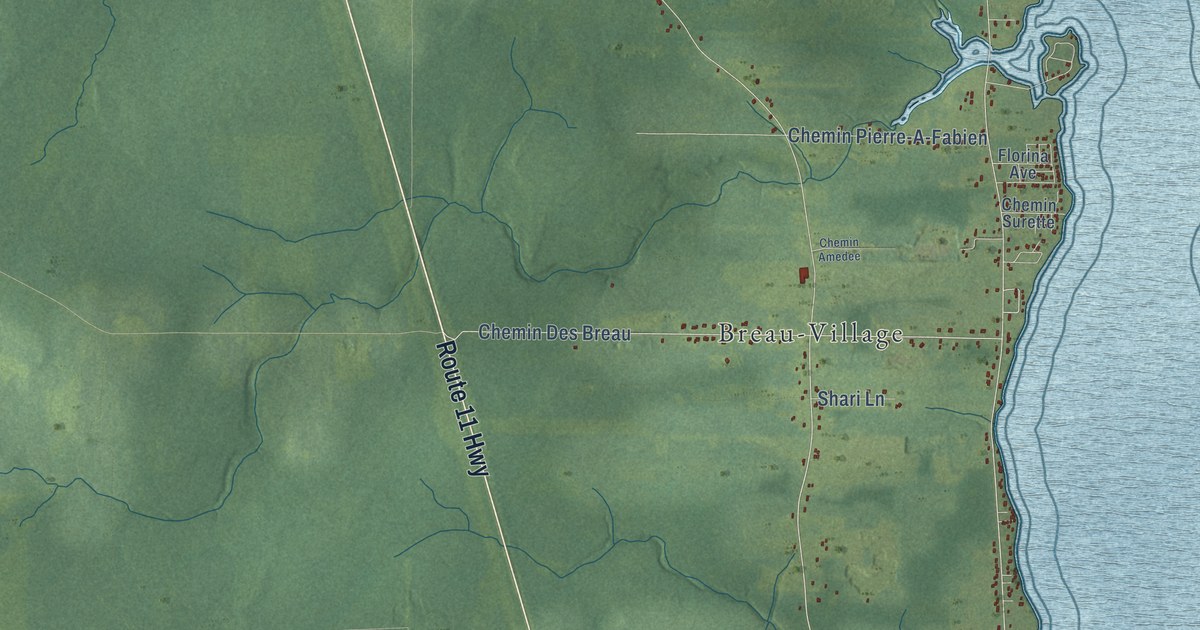
A detailed map of Cocagne, New Brunswick, showing every building in its true location, the roads by name, and shaded topographical relief.
Read More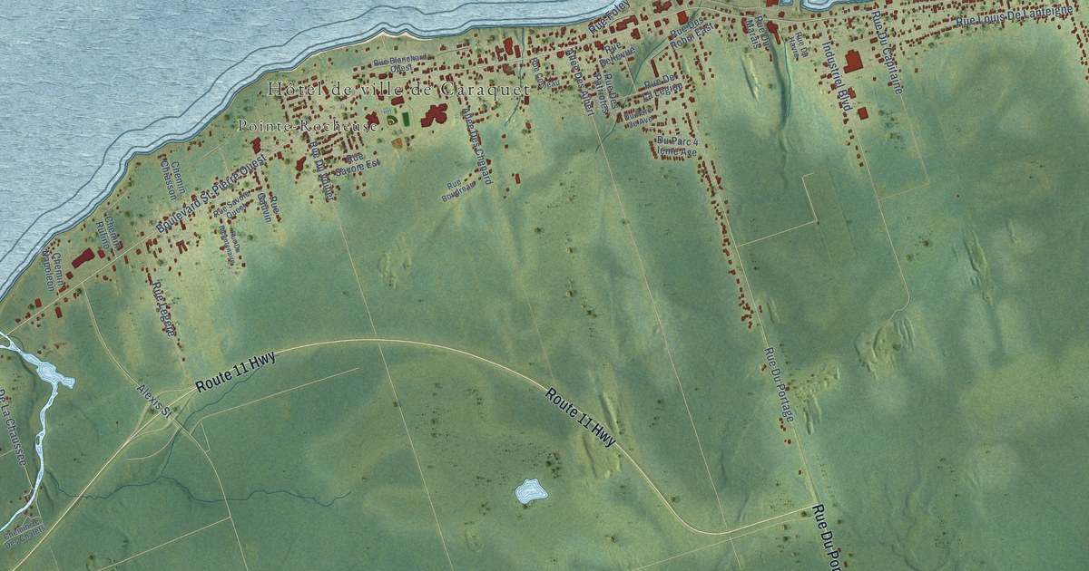
A detailed map of Caraquet, New Brunswick, showing every building in its true location, the roads by name, and shaded topographical relief.
Read More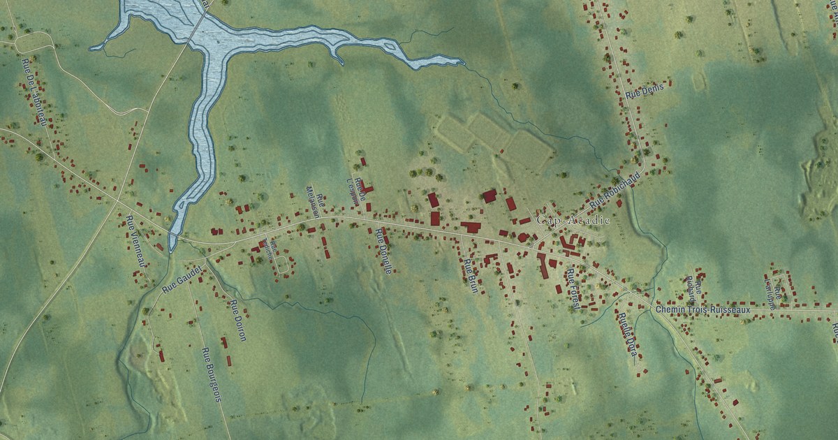
A detailed map of Cap-Pelé, New Brunswick, showing every building in its true location, the roads by name, and shaded topographical relief.
Read More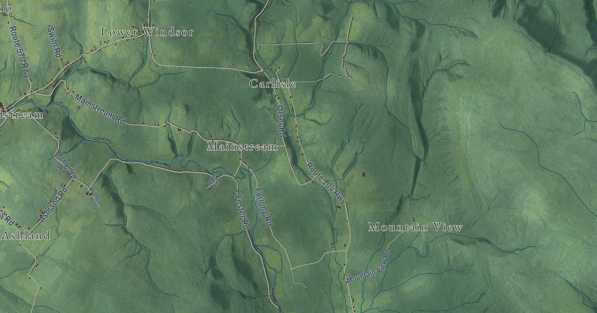
A detailed map of Brighton Parish, New Brunswick, showing every building in its true location, the roads by name, and shaded topographical relief.
Read More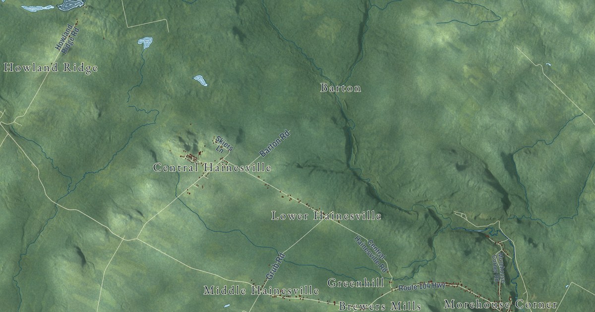
A detailed map of Bright Parish, New Brunswick, showing every building in its true location, the roads by name, and shaded topographical relief.
Read More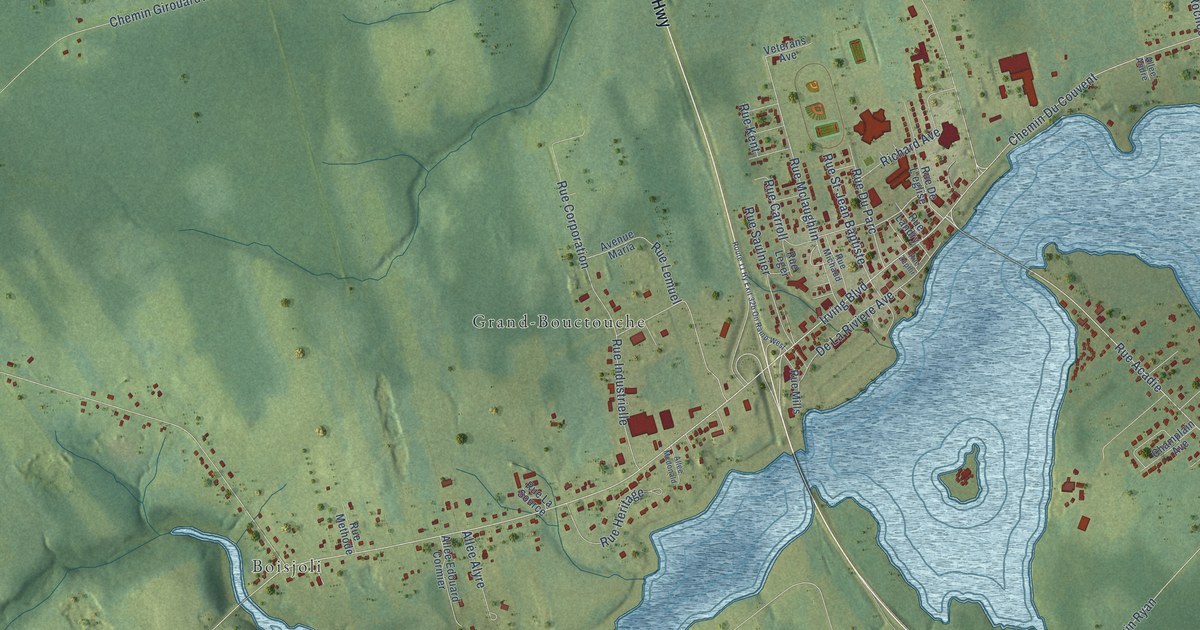
A detailed map of Bouctouche, New Brunswick, showing every building in its true location, the roads by name, and shaded topographical relief.
Read More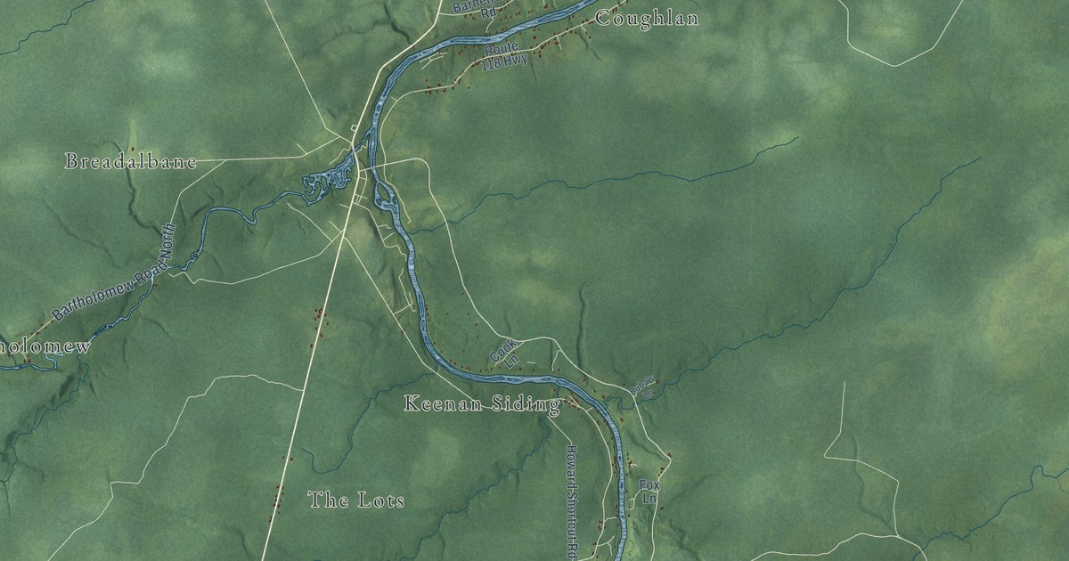
A detailed map of Blackville Parish, New Brunswick, showing every building in its true location, the roads by name, and shaded topographical relief.
Read More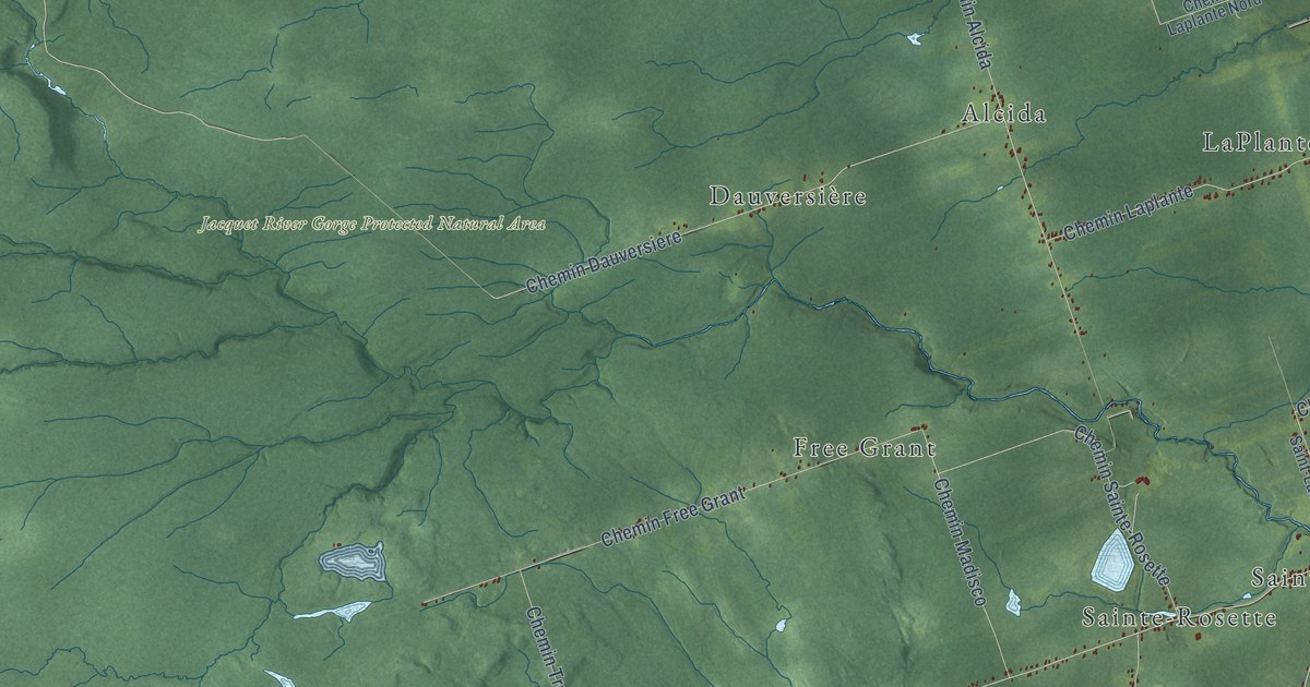
A detailed map of Beresford Parish, New Brunswick, showing every building in its true location, the roads by name, and shaded topographical relief.
Read More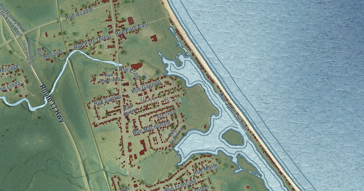
A detailed map of Beresford, New Brunswick, showing every building in its true location, the roads by name, and shaded topographical relief.
Read More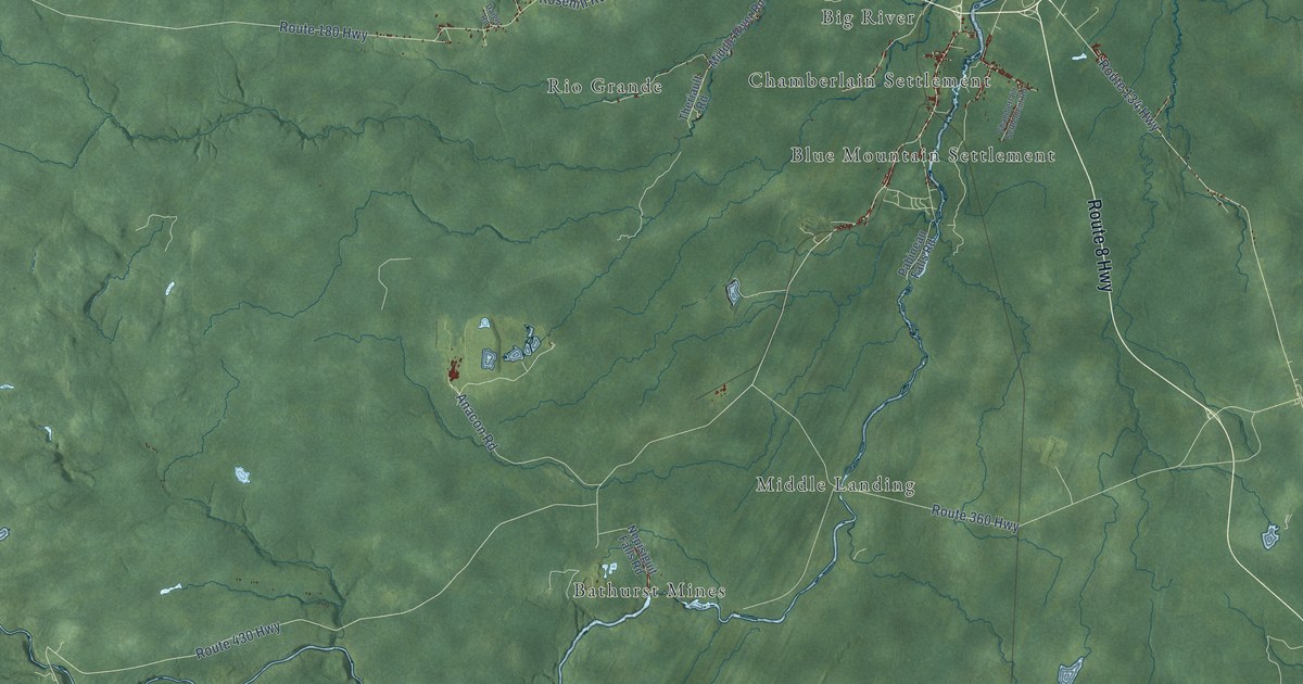
A detailed map of Bathurst Parish, New Brunswick, showing every building in its true location, the roads by name, and shaded topographical relief.
Read More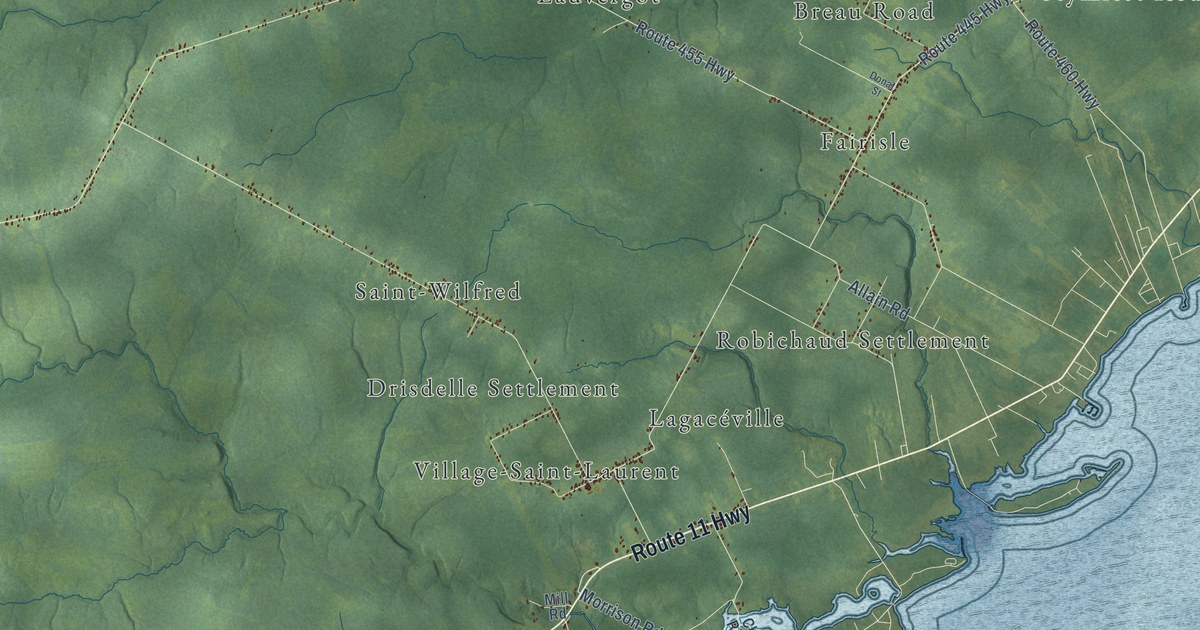
A detailed map of Alnwick Parish, New Brunswick, showing every building in its true location, the roads by name, and shaded topographical relief.
Read More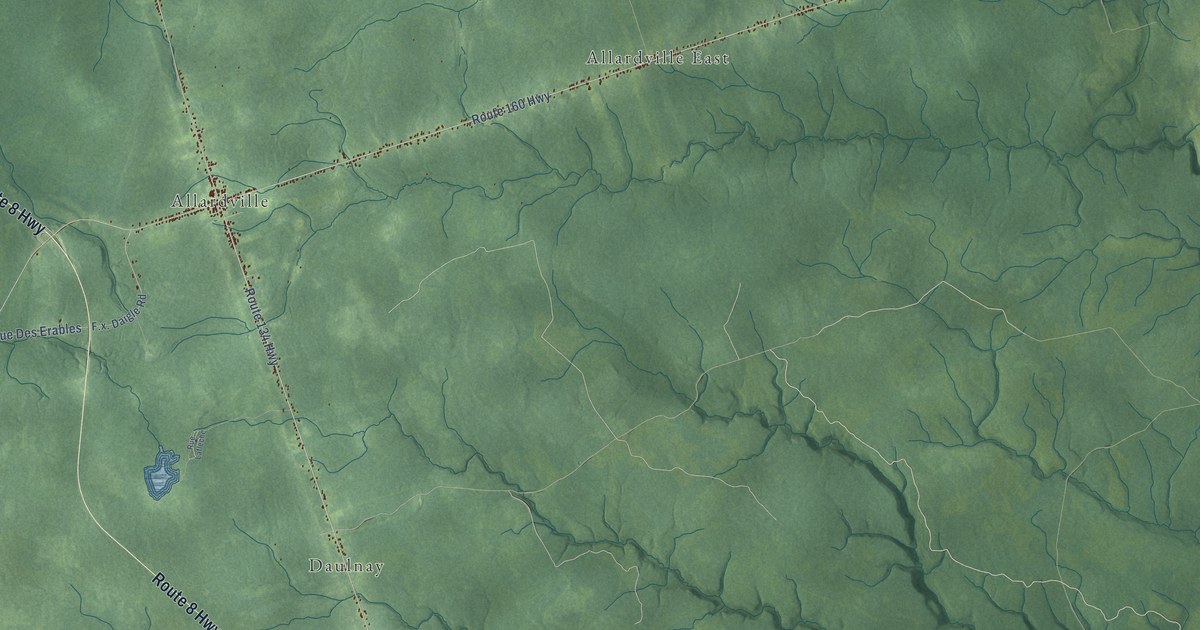
A detailed map of Allardville Parish, New Brunswick, showing every building in its true location, the roads by name, and shaded topographical relief.
Read More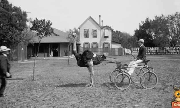
In 1905 visitors paid to see 75 ostriches near Jacksonville, Florida. One bird pulled a buggy, one carried a rider, and one egg fed 12 people.
Read More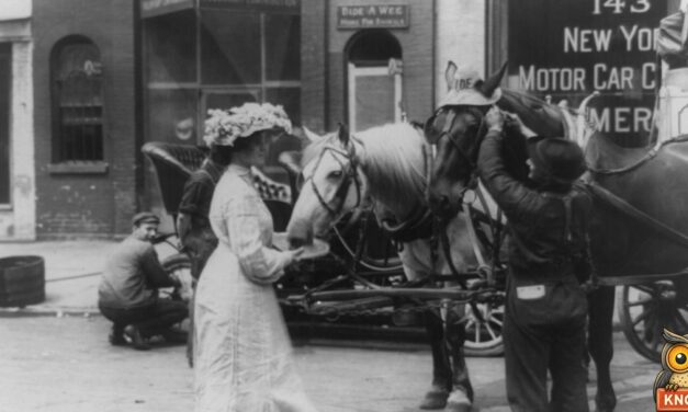
On July 25, 1905, a Louisville, Kentucky, store fitted 1,200 horses and mules with free straw hats. Streetcars backed up for blocks. One mule took seven men.
Read More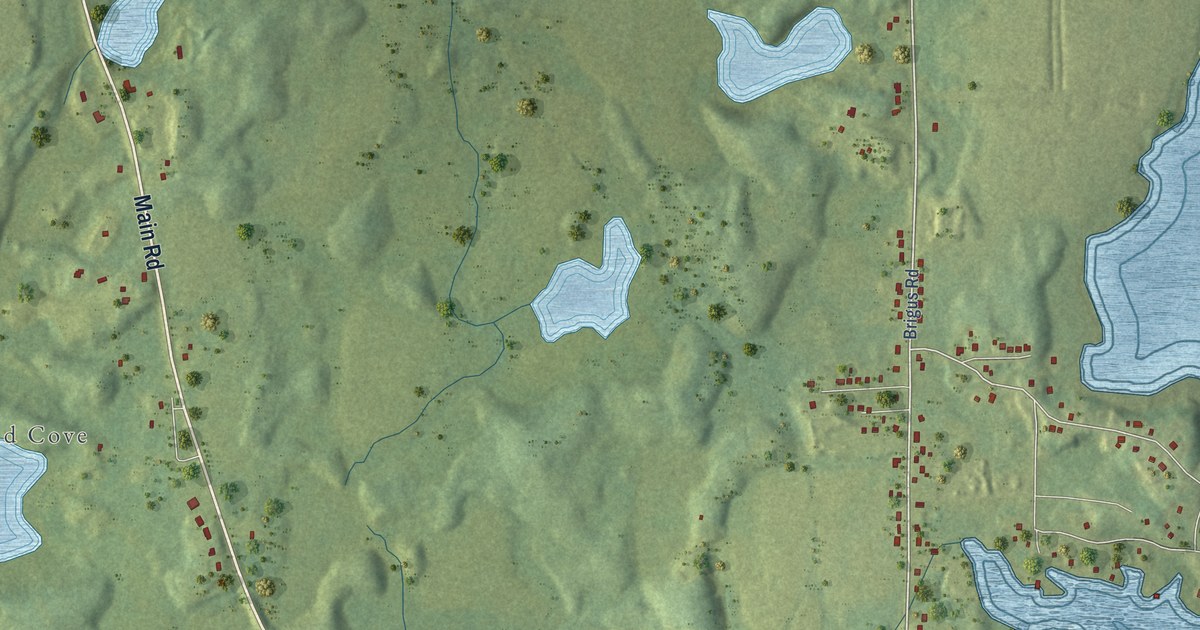
A detailed map of Whitbourne, Newfoundland and Labrador, showing every building in its true location, the roads by name, and shaded topographical relief.
Read More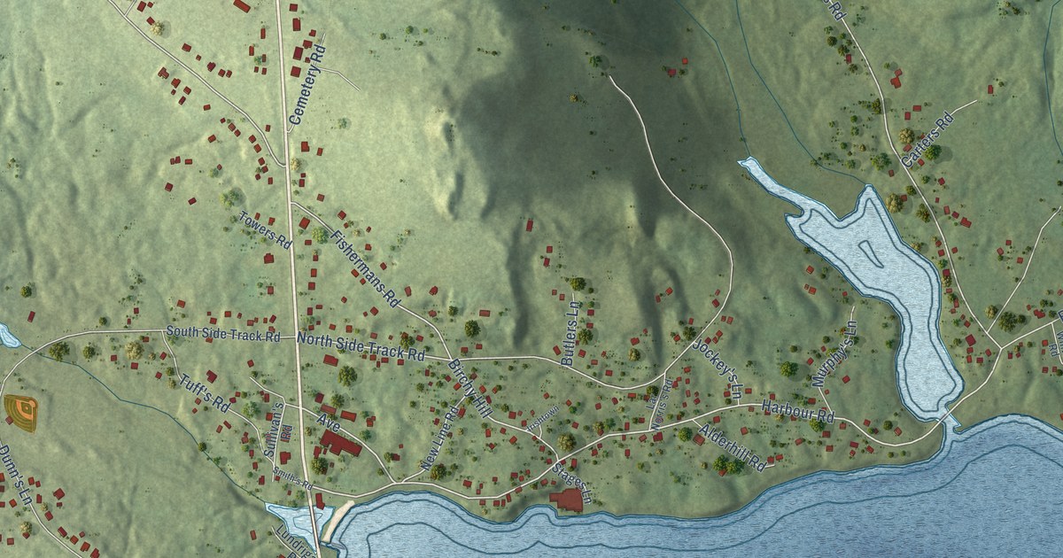
A detailed map of Witless Bay, Newfoundland and Labrador, showing every building in its true location, the roads by name, and shaded topographical relief.
Read More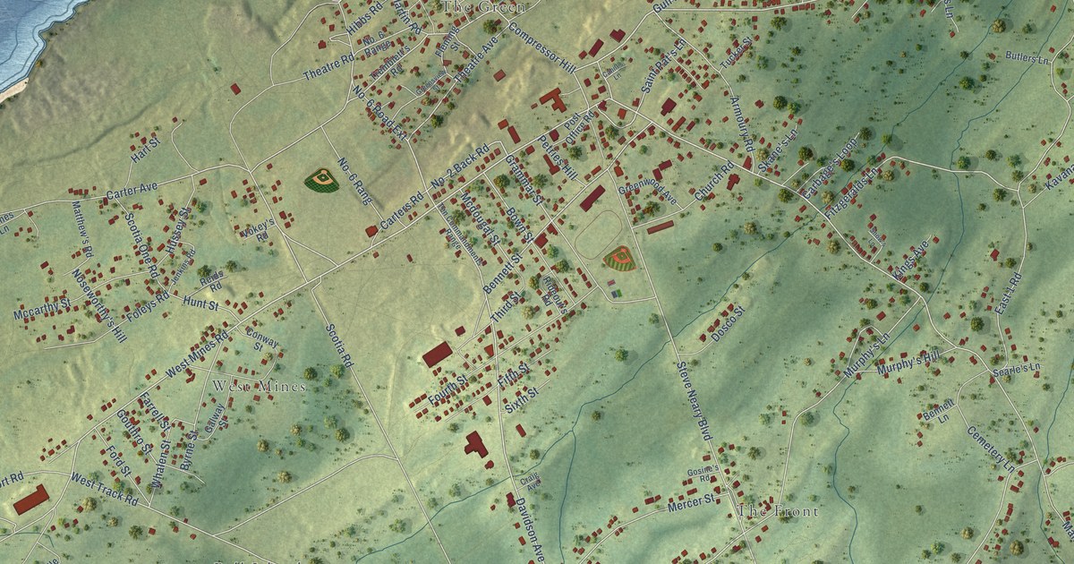
A detailed map of Wabana, Newfoundland and Labrador, showing every building in its true location, the roads by name, and shaded topographical relief.
Read More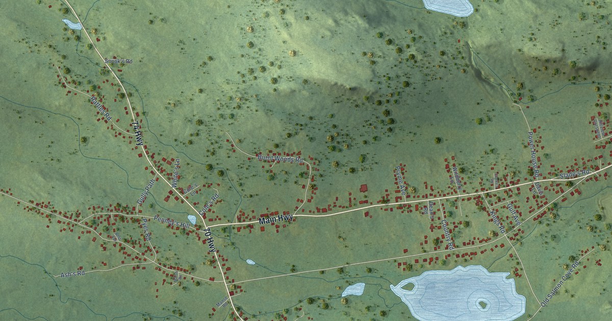
A detailed map of Victoria, Newfoundland and Labrador, showing every building in its true location, the roads by name, and shaded topographical relief.
Read More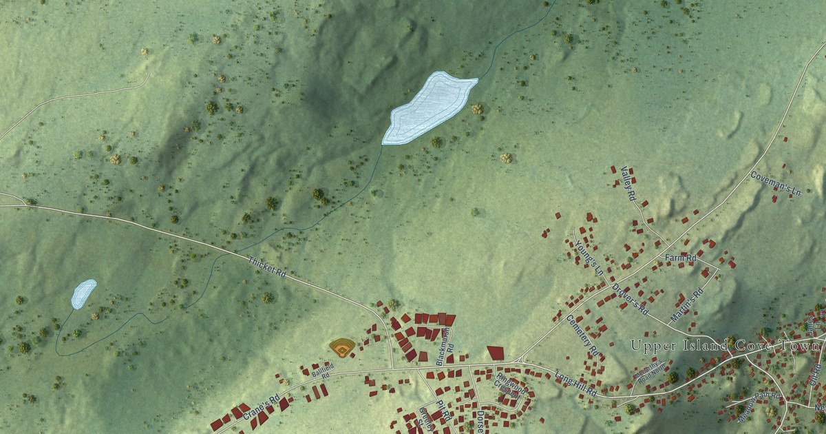
A detailed map of Upper Island Cove, Newfoundland and Labrador, showing every building in its true location, the roads by name, and shaded topographical relief.
Read More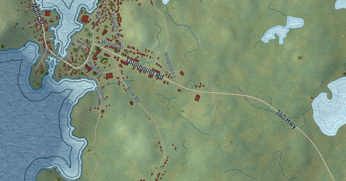
A detailed map of Twillingate, Newfoundland and Labrador, showing every building in its true location, the roads by name, and shaded topographical relief.
Read More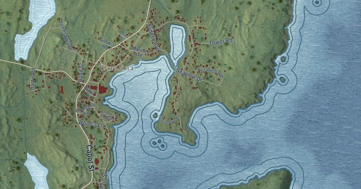
A detailed map of Trinity Bay North, Newfoundland and Labrador, showing every building in its true location, the roads by name, and shaded topographical relief.
Read More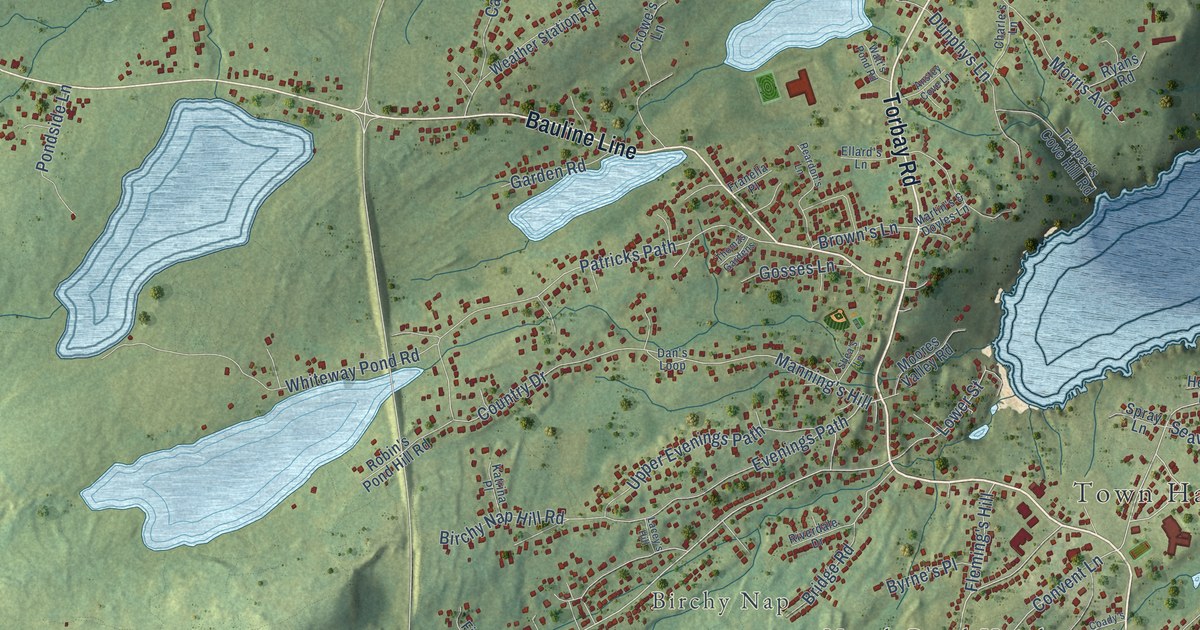
A detailed map of Torbay, Newfoundland and Labrador, showing every building in its true location, the roads by name, and shaded topographical relief.
Read More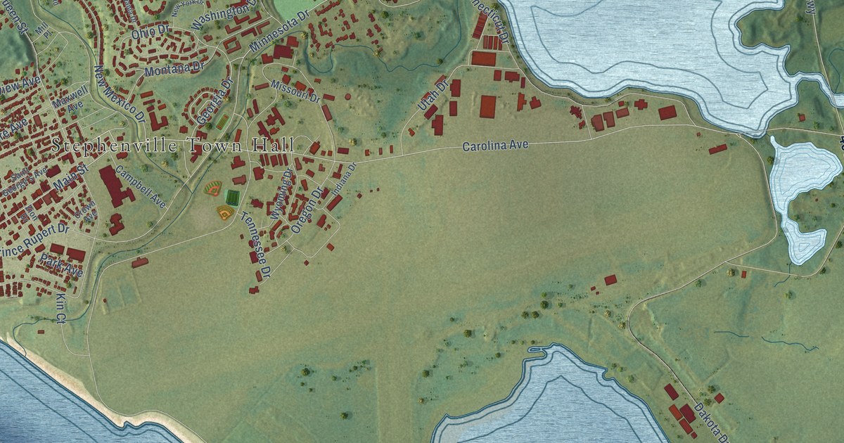
A detailed map of Stephenville, Newfoundland and Labrador, showing every building in its true location, the roads by name, and shaded topographical relief.
Read More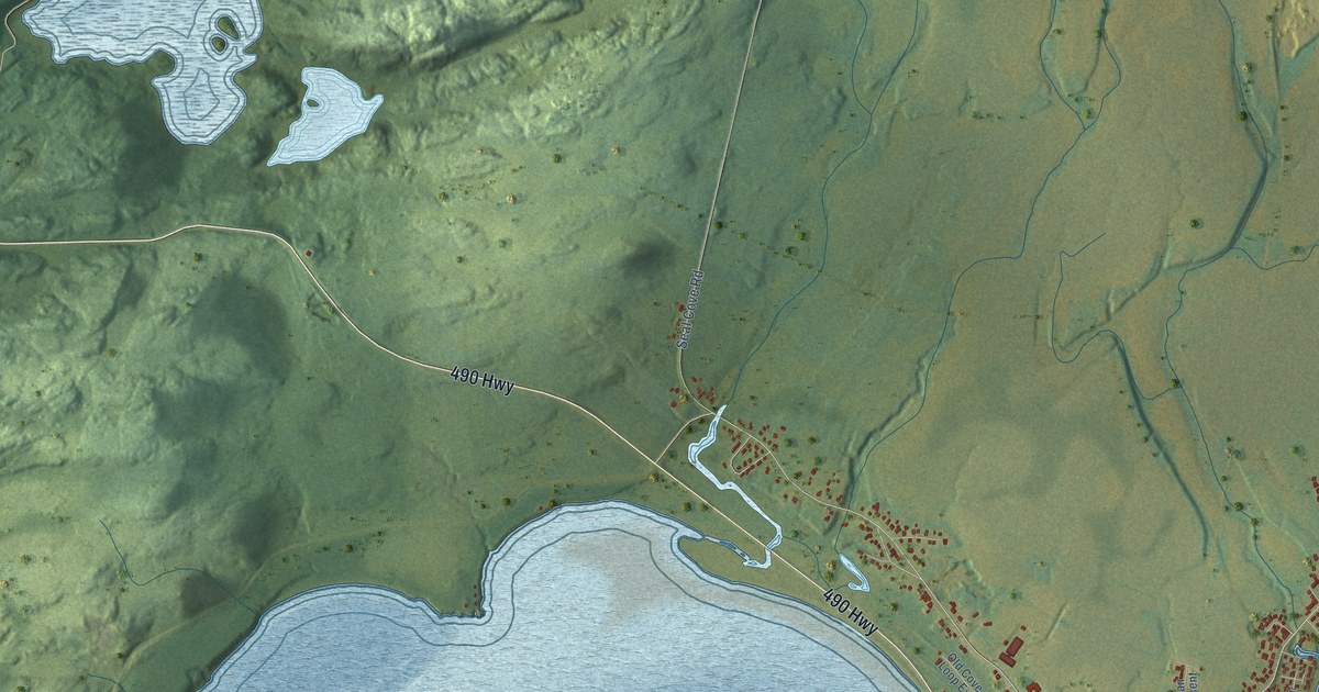
A detailed map of Stephenville Crossing, Newfoundland and Labrador, showing every building in its true location, the roads by name, and shaded topographical relief.
Read More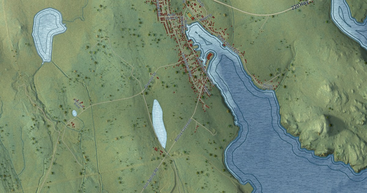
A detailed map of St. Lawrence, Newfoundland and Labrador, showing every building in its true location, the roads by name, and shaded topographical relief.
Read More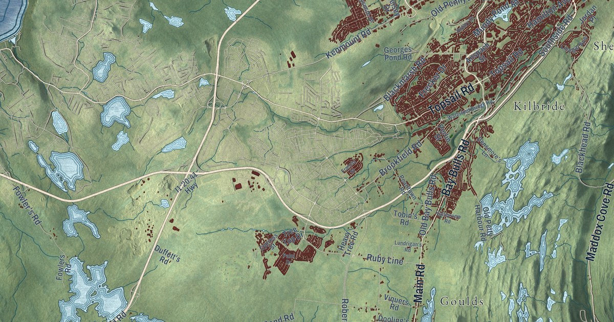
A detailed map of St. John’s, Newfoundland and Labrador, showing every building in its true location, the roads by name, and shaded topographical relief.
Read More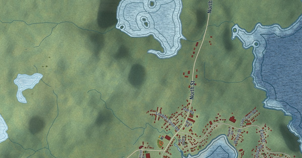
A detailed map of St. Anthony, Newfoundland and Labrador, showing every building in its true location, the roads by name, and shaded topographical relief.
Read More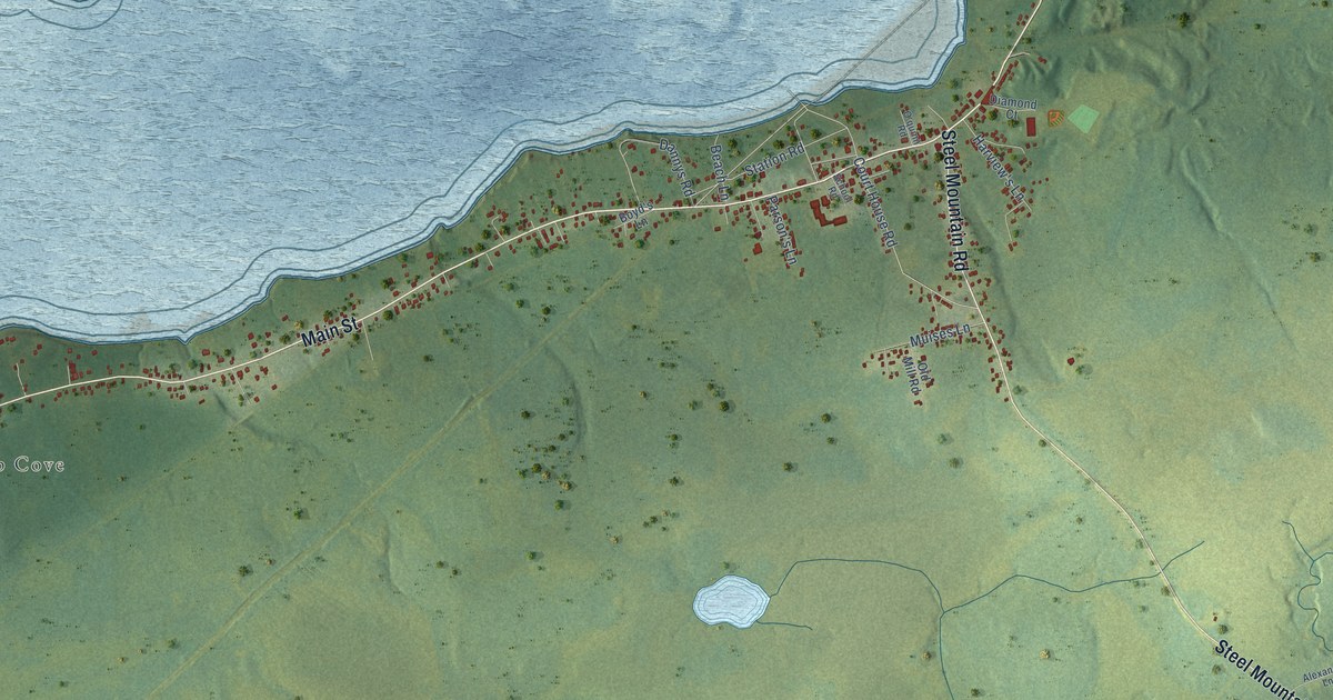
A detailed map of St. George’s, Newfoundland and Labrador, showing every building in its true location, the roads by name, and shaded topographical relief.
Read More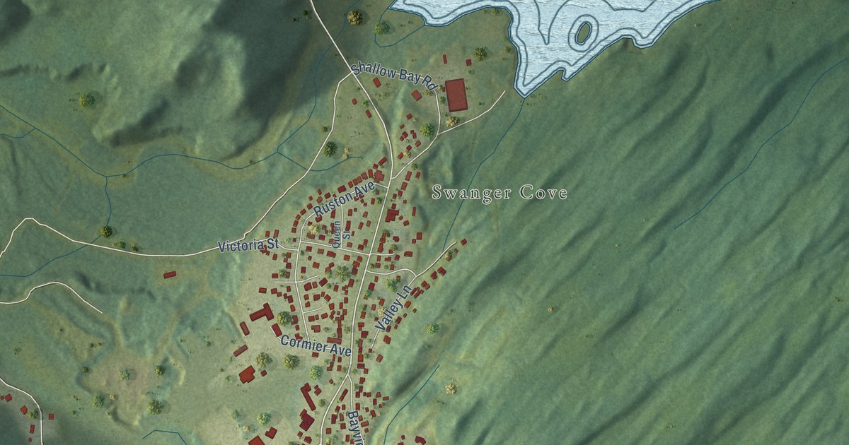
A detailed map of St. Alban’s, Newfoundland and Labrador, showing every building in its true location, the roads by name, and shaded topographical relief.
Read More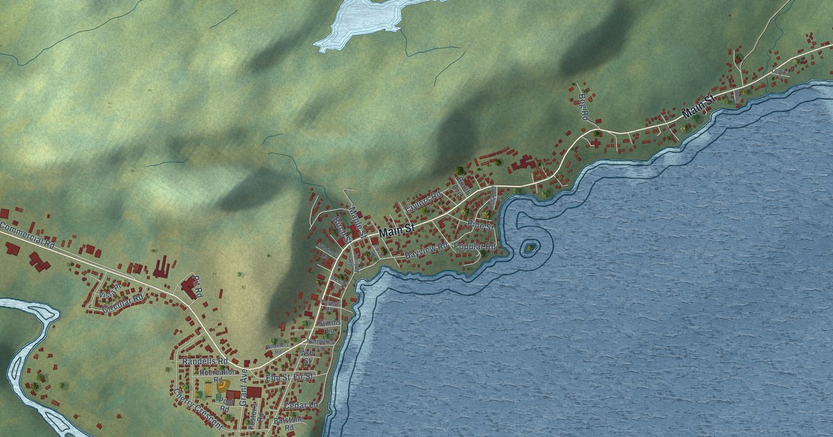
A detailed map of Springdale, Newfoundland and Labrador, showing every building in its true location, the roads by name, and shaded topographical relief.
Read More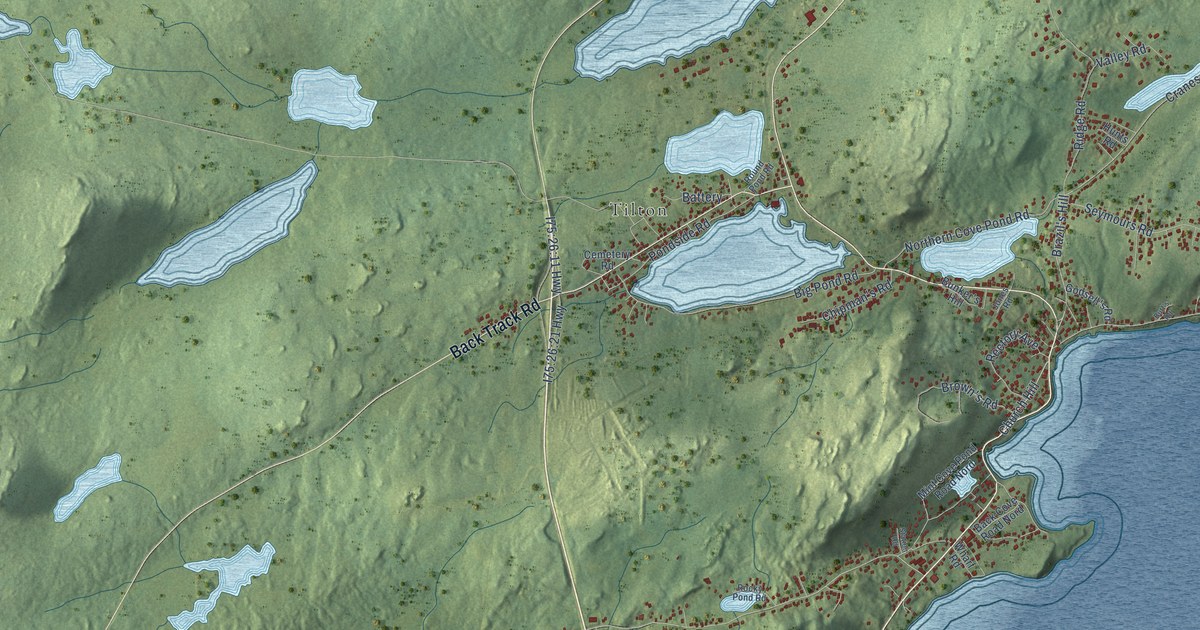
A detailed map of Spaniard’s Bay, Newfoundland and Labrador, showing every building in its true location, the roads by name, and shaded topographical relief.
Read More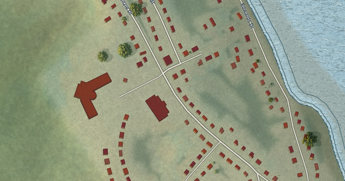
A detailed map of Sheshatshiu, Newfoundland and Labrador, showing every building in its true location, the roads by name, and shaded topographical relief.
Read More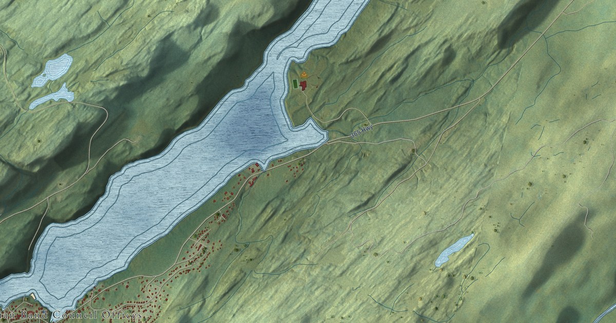
A detailed map of Miawpukek, Newfoundland and Labrador, showing every building in its true location, the roads by name, and shaded topographical relief.
Read More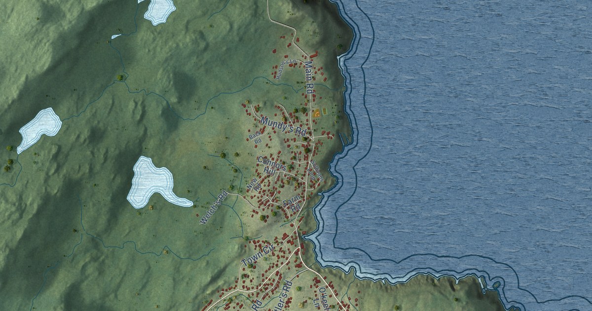
A detailed map of Pouch Cove, Newfoundland and Labrador, showing every building in its true location, the roads by name, and shaded topographical relief.
Read More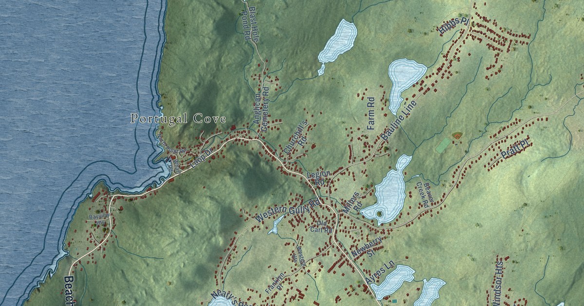
A detailed map of Portugal Cove-St. Philip’s, Newfoundland and Labrador, showing every building in its true location, the roads by name, and shaded topographical relief.
Read More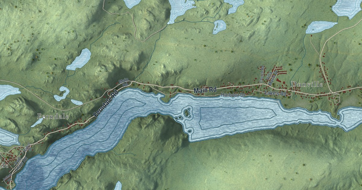
A detailed map of Placentia, Newfoundland and Labrador, showing every building in its true location, the roads by name, and shaded topographical relief.
Read More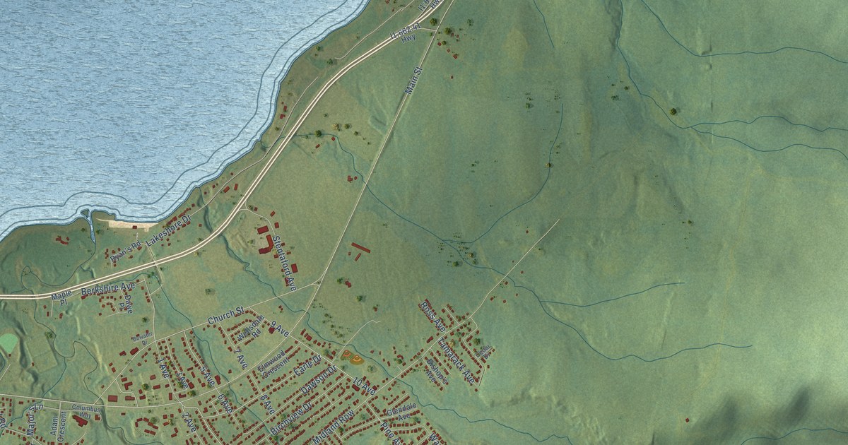
A detailed map of Pasadena, Newfoundland and Labrador, showing every building in its true location, the roads by name, and shaded topographical relief.
Read More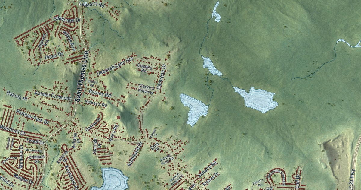
A detailed map of Paradise, Newfoundland and Labrador, showing every building in its true location, the roads by name, and shaded topographical relief.
Read More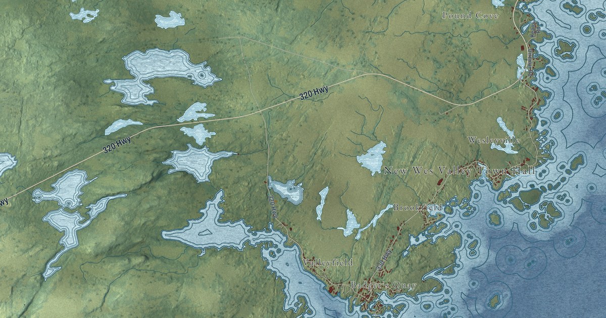
A detailed map of New-Wes-Valley, Newfoundland and Labrador, showing every building in its true location, the roads by name, and shaded topographical relief.
Read More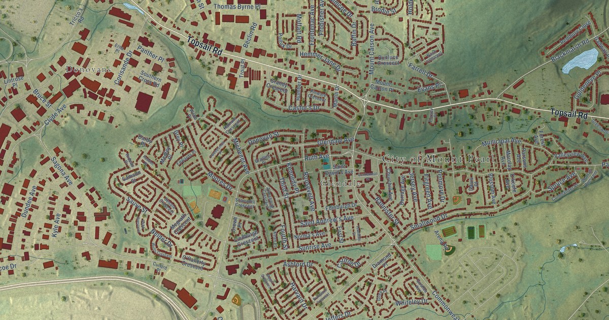
A detailed map of Mount Pearl, Newfoundland and Labrador, showing every building in its true location, the roads by name, and shaded topographical relief.
Read More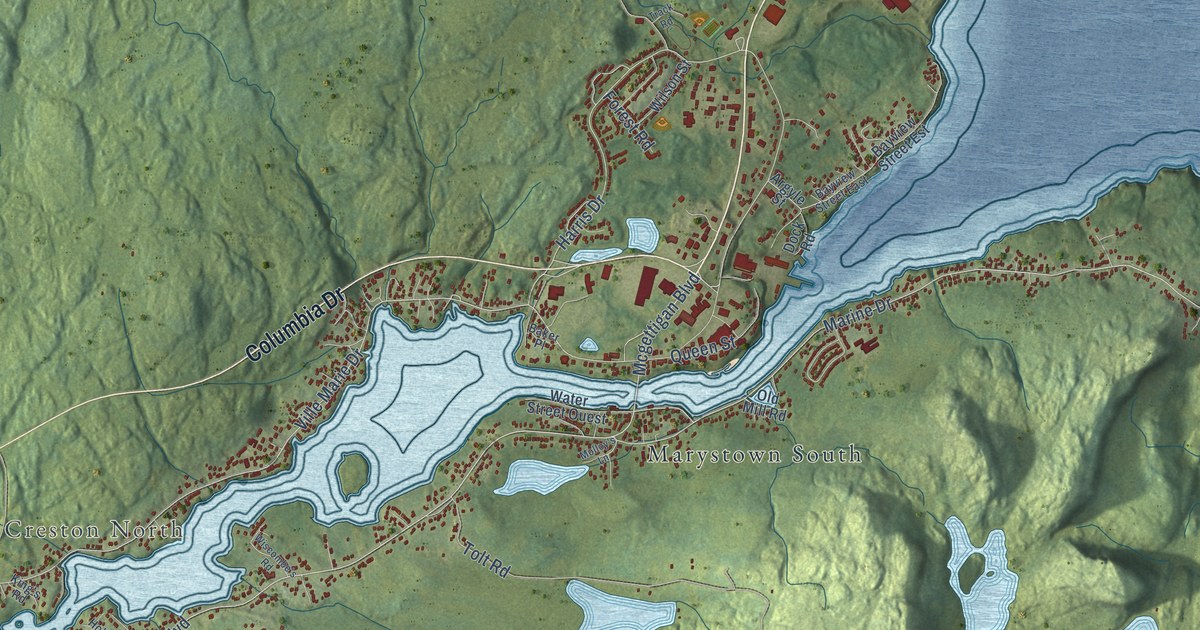
A detailed map of Marystown, Newfoundland and Labrador, showing every building in its true location, the roads by name, and shaded topographical relief.
Read More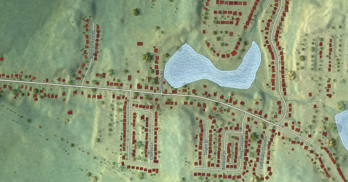
A detailed map of Massey Drive, Newfoundland and Labrador, showing every building in its true location, the roads by name, and shaded topographical relief.
Read More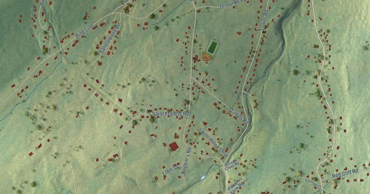
A detailed map of Logy Bay-Middle Cove-Outer Cove, Newfoundland and Labrador, showing every building in its true location, the roads by name, and shaded topographical relief.
Read More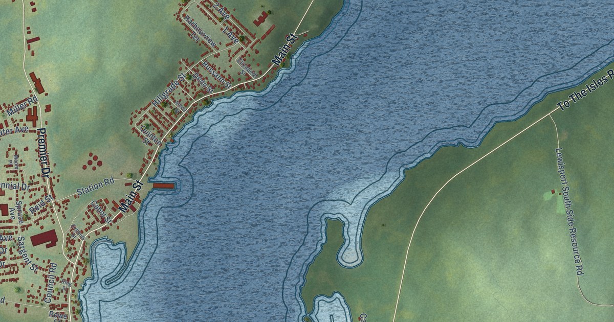
A detailed map of Lewisporte, Newfoundland and Labrador, showing every building in its true location, the roads by name, and shaded topographical relief.
Read More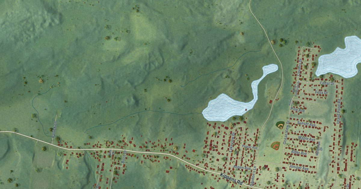
A detailed map of Kippens, Newfoundland and Labrador, showing every building in its true location, the roads by name, and shaded topographical relief.
Read More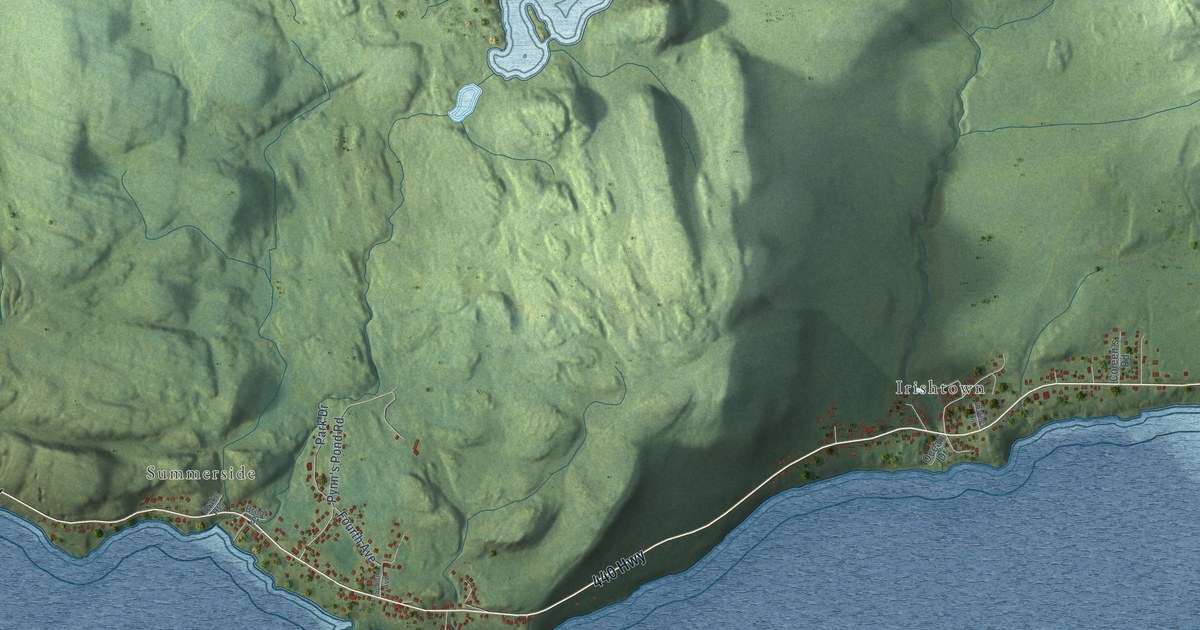
A detailed map of Irishtown-Summerside, Newfoundland and Labrador, showing every building in its true location, the roads by name, and shaded topographical relief.
Read More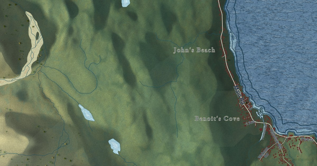
A detailed map of Humber Arm South, Newfoundland and Labrador, showing every building in its true location, the roads by name, and shaded topographical relief.
Read More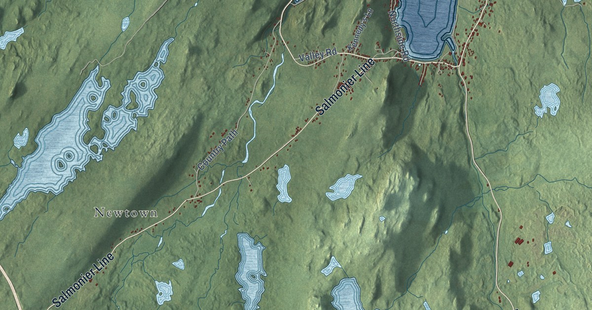
A detailed map of Holyrood, Newfoundland and Labrador, showing every building in its true location, the roads by name, and shaded topographical relief.
Read More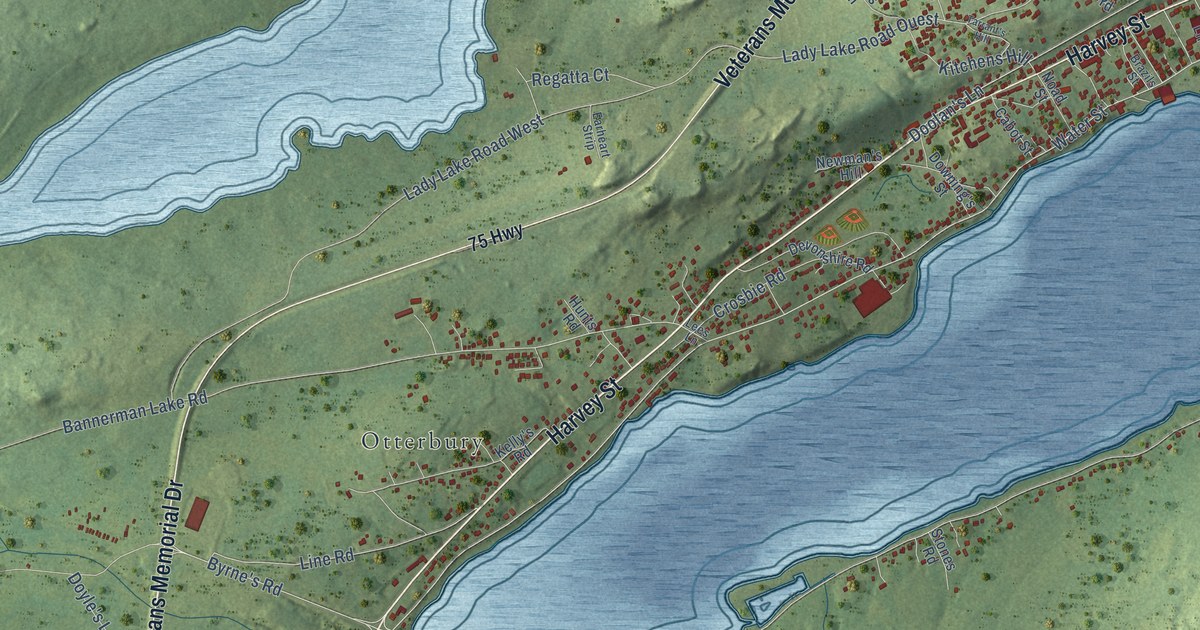
A detailed map of Harbour Grace, Newfoundland and Labrador, showing every building in its true location, the roads by name, and shaded topographical relief.
Read More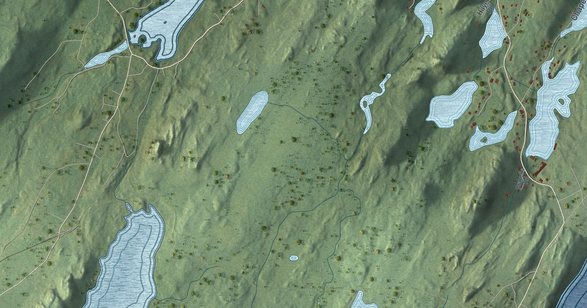
A detailed map of Harbour Main-Chapel’s Cove-Lakeview, Newfoundland and Labrador, showing every building in its true location, the roads by name, and shaded topographical relief.
Read More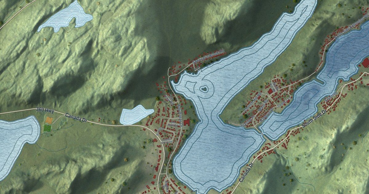
A detailed map of Harbour Breton, Newfoundland and Labrador, showing every building in its true location, the roads by name, and shaded topographical relief.
Read More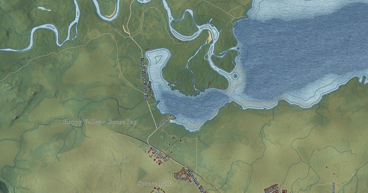
A detailed map of Happy Valley-Goose Bay, Newfoundland and Labrador, showing every building in its true location, the roads by name, and shaded topographical relief.
Read More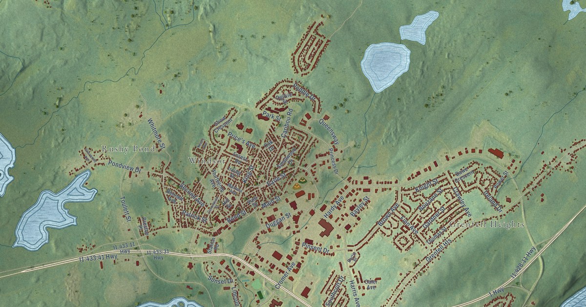
A detailed map of Grand Falls-Windsor, Newfoundland and Labrador, showing every building in its true location, the roads by name, and shaded topographical relief.
Read More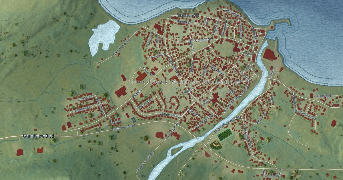
A detailed map of Grand Bank, Newfoundland and Labrador, showing every building in its true location, the roads by name, and shaded topographical relief.
Read More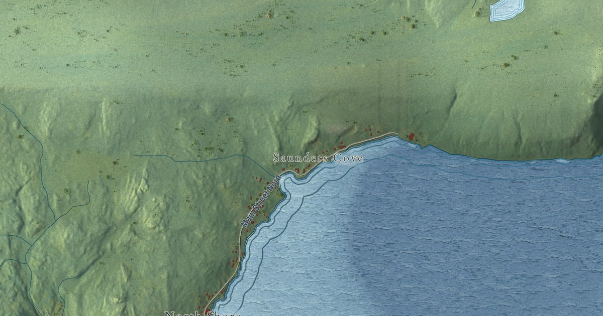
A detailed map of Glovertown, Newfoundland and Labrador, showing every building in its true location, the roads by name, and shaded topographical relief.
Read More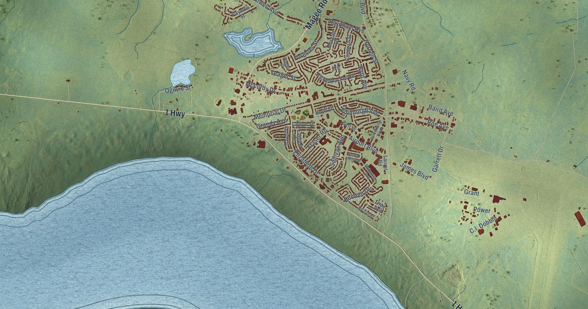
A detailed map of Gander, Newfoundland and Labrador, showing every building in its true location, the roads by name, and shaded topographical relief.
Read More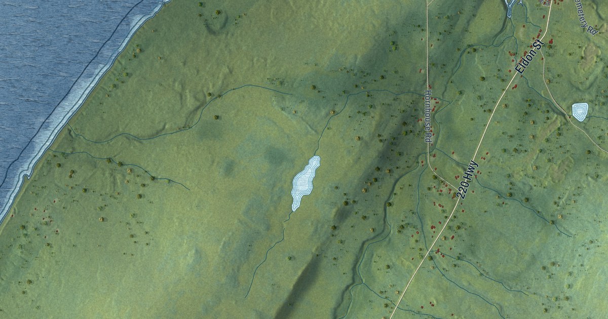
A detailed map of Fortune, Newfoundland and Labrador, showing every building in its true location, the roads by name, and shaded topographical relief.
Read More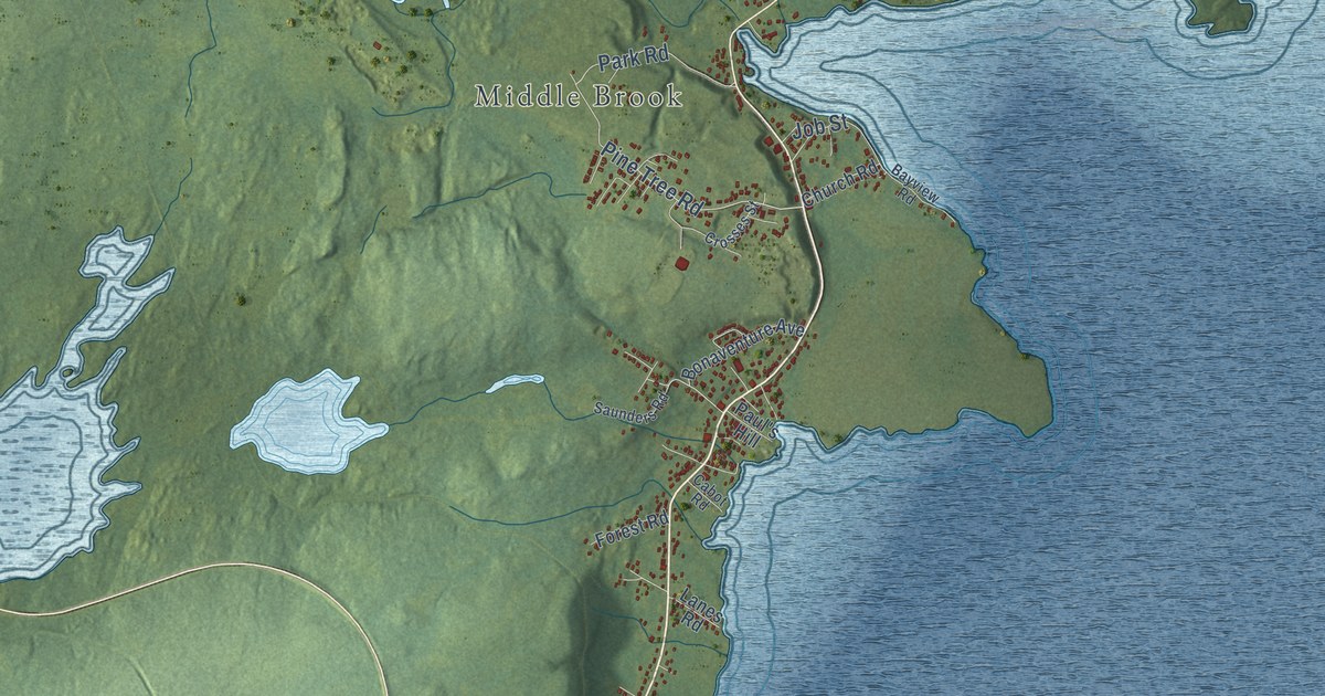
A detailed map of Gambo, Newfoundland and Labrador, showing every building in its true location, the roads by name, and shaded topographical relief.
Read More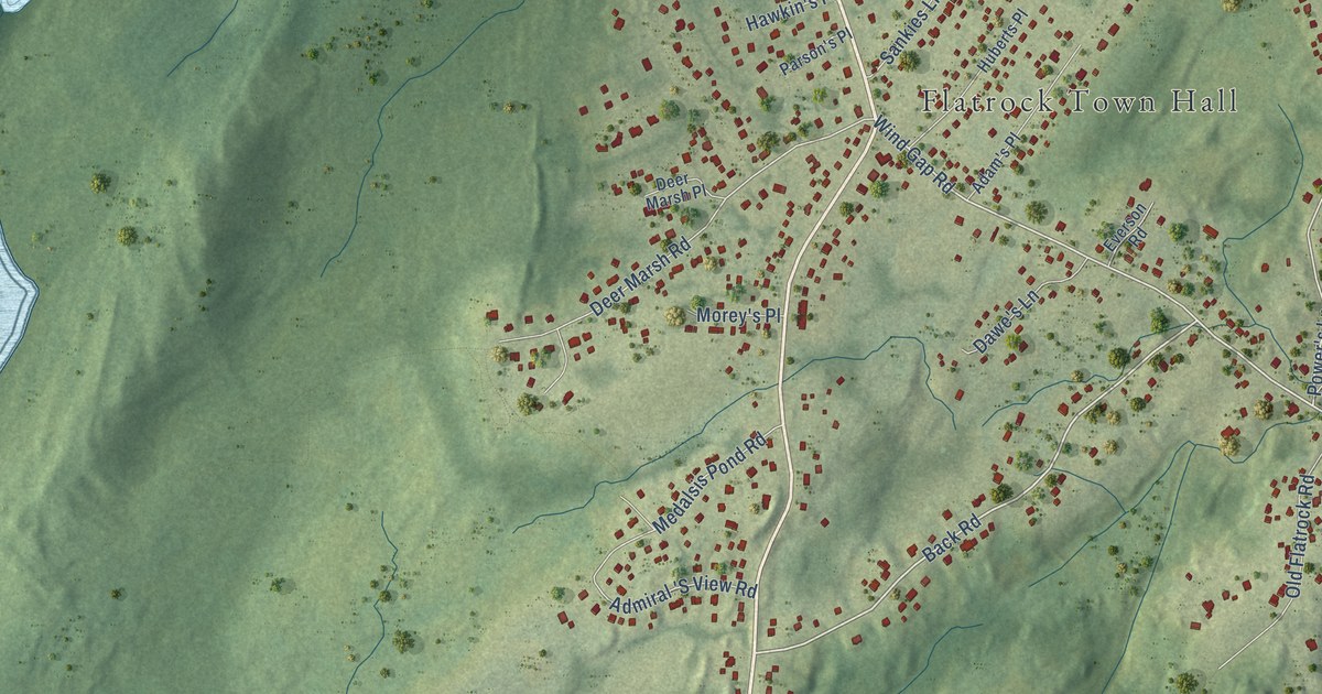
A detailed map of Flatrock, Newfoundland and Labrador, showing every building in its true location, the roads by name, and shaded topographical relief.
Read More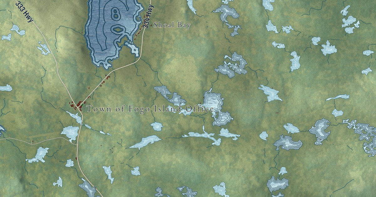
A detailed map of Fogo Island, Newfoundland and Labrador, showing every building in its true location, the roads by name, and shaded topographical relief.
Read More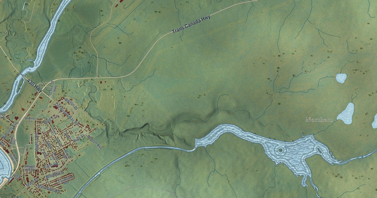
A detailed map of Deer Lake, Newfoundland and Labrador, showing every building in its true location, the roads by name, and shaded topographical relief.
Read More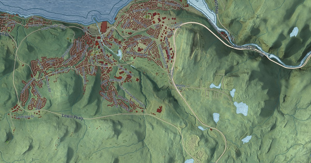
A detailed map of Corner Brook, Newfoundland and Labrador, showing every building in its true location, the roads by name, and shaded topographical relief.
Read More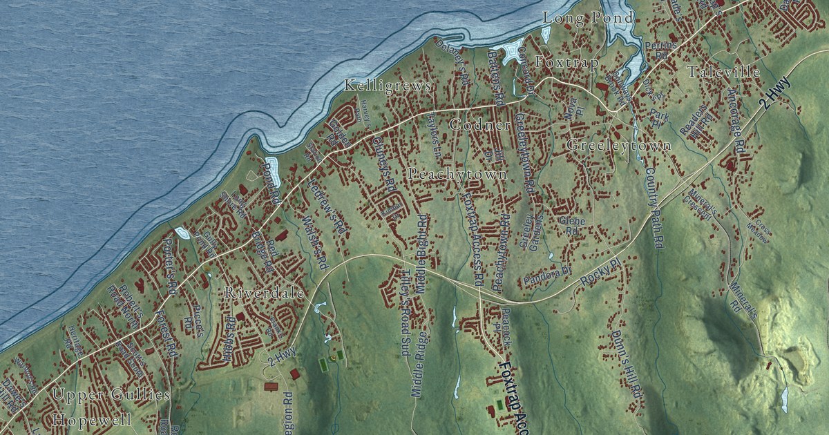
A detailed map of Conception Bay South, Newfoundland and Labrador, showing every building in its true location, the roads by name, and shaded topographical relief.
Read More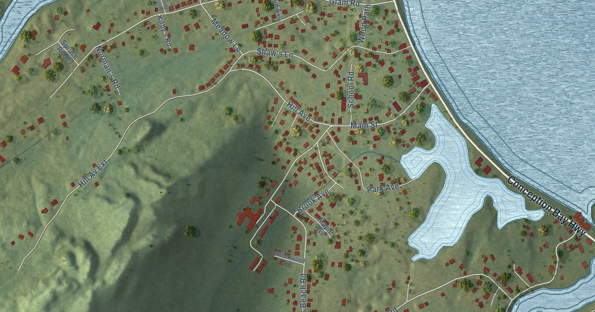
A detailed map of Clarke’s Beach, Newfoundland and Labrador, showing every building in its true location, the roads by name, and shaded topographical relief.
Read More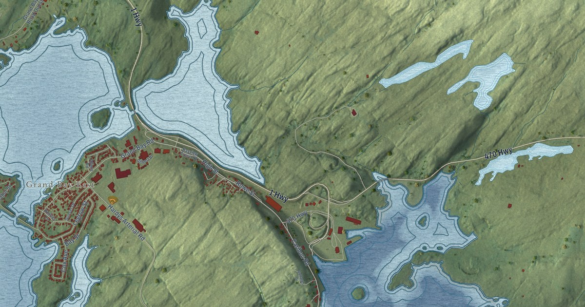
A detailed map of Channel-Port aux Basques, Newfoundland and Labrador, showing every building in its true location, the roads by name, and shaded topographical relief.
Read More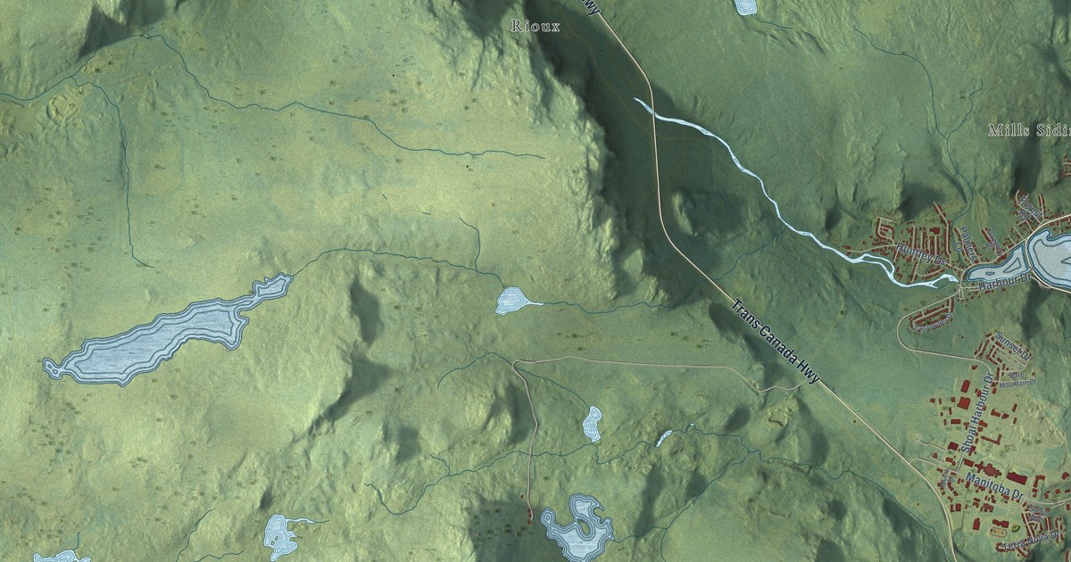
A detailed map of Clarenville, Newfoundland and Labrador, showing every building in its true location, the roads by name, and shaded topographical relief.
Read More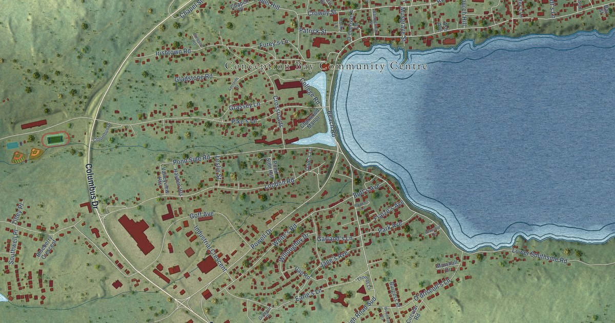
A detailed map of Carbonear, Newfoundland and Labrador, showing every building in its true location, the roads by name, and shaded topographical relief.
Read More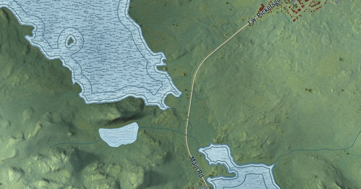
A detailed map of Centreville-Wareham-Trinity, Newfoundland and Labrador, showing every building in its true location, the roads by name, and shaded topographical relief.
Read More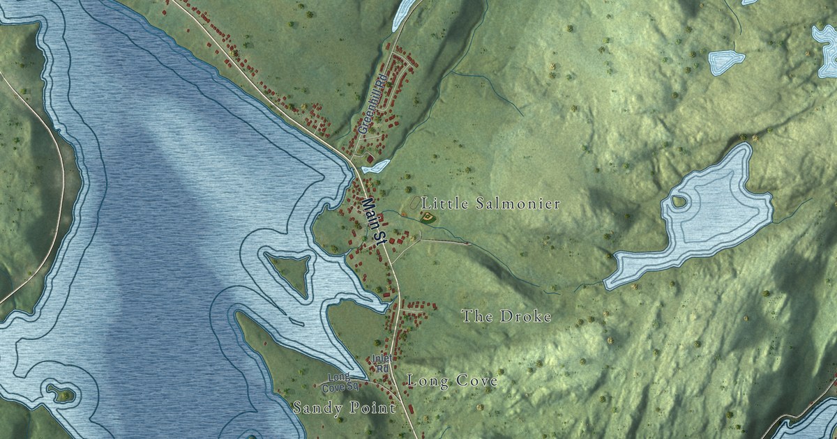
A detailed map of Burin, Newfoundland and Labrador, showing every building in its true location, the roads by name, and shaded topographical relief.
Read More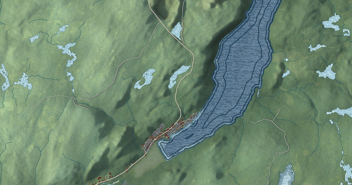
A detailed map of Baie Verte, Newfoundland and Labrador, showing every building in its true location, the roads by name, and shaded topographical relief.
Read More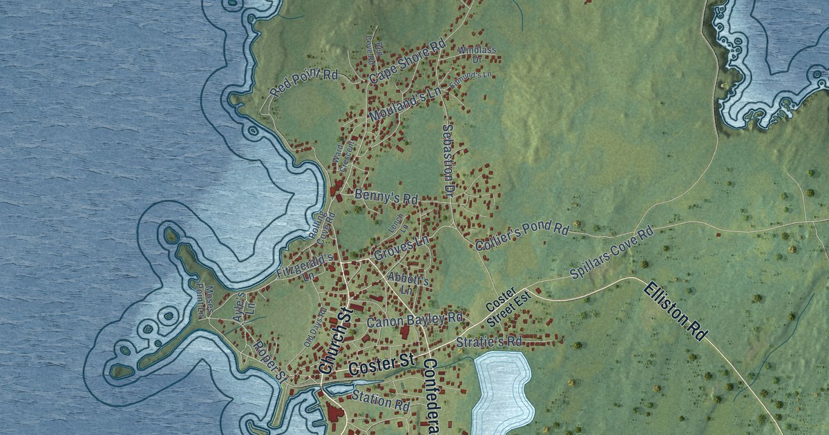
A detailed map of Bonavista, Newfoundland and Labrador, showing every building in its true location, the roads by name, and shaded topographical relief.
Read More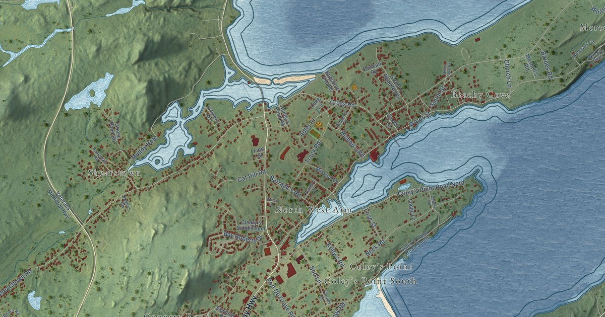
A detailed map of Bay Roberts, Newfoundland and Labrador, showing every building in its true location, the roads by name, and shaded topographical relief.
Read More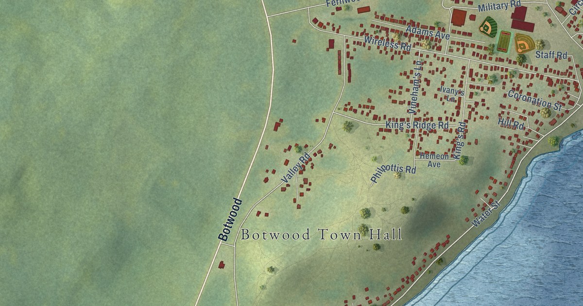
A detailed map of Botwood, Newfoundland and Labrador, showing every building in its true location, the roads by name, and shaded topographical relief.
Read More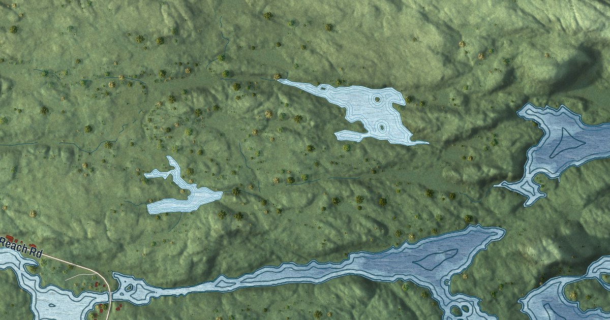
A detailed map of Burgeo, Newfoundland and Labrador, showing every building in its true location, the roads by name, and shaded topographical relief.
Read More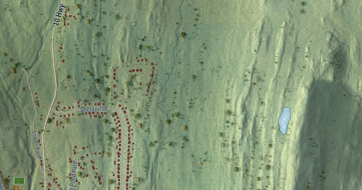
A detailed map of Bay Bulls, Newfoundland and Labrador, showing every building in its true location, the roads by name, and shaded topographical relief.
Read More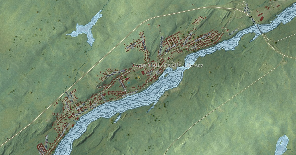
A detailed map of Bishop’s Falls, Newfoundland and Labrador, showing every building in its true location, the roads by name, and shaded topographical relief.
Read More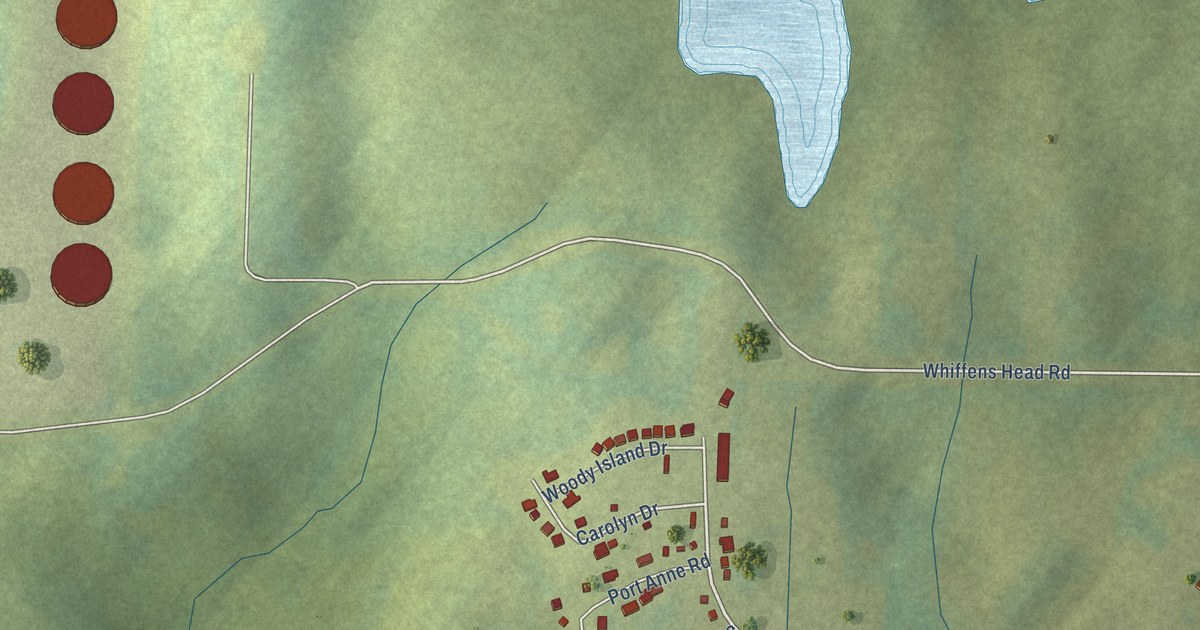
A detailed map of Arnold’s Cove, Newfoundland and Labrador, showing every building in its true location, the roads by name, and shaded topographical relief.
Read More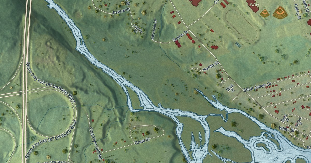
A detailed map of Woodstock, New Brunswick, showing every building in its true location, the roads by name, and shaded topographical relief.
Read More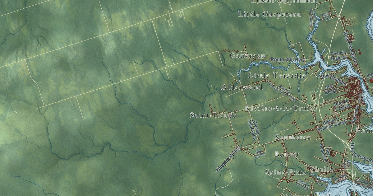
A detailed map of Tracadie, New Brunswick, showing every building in its true location, the roads by name, and shaded topographical relief.
Read More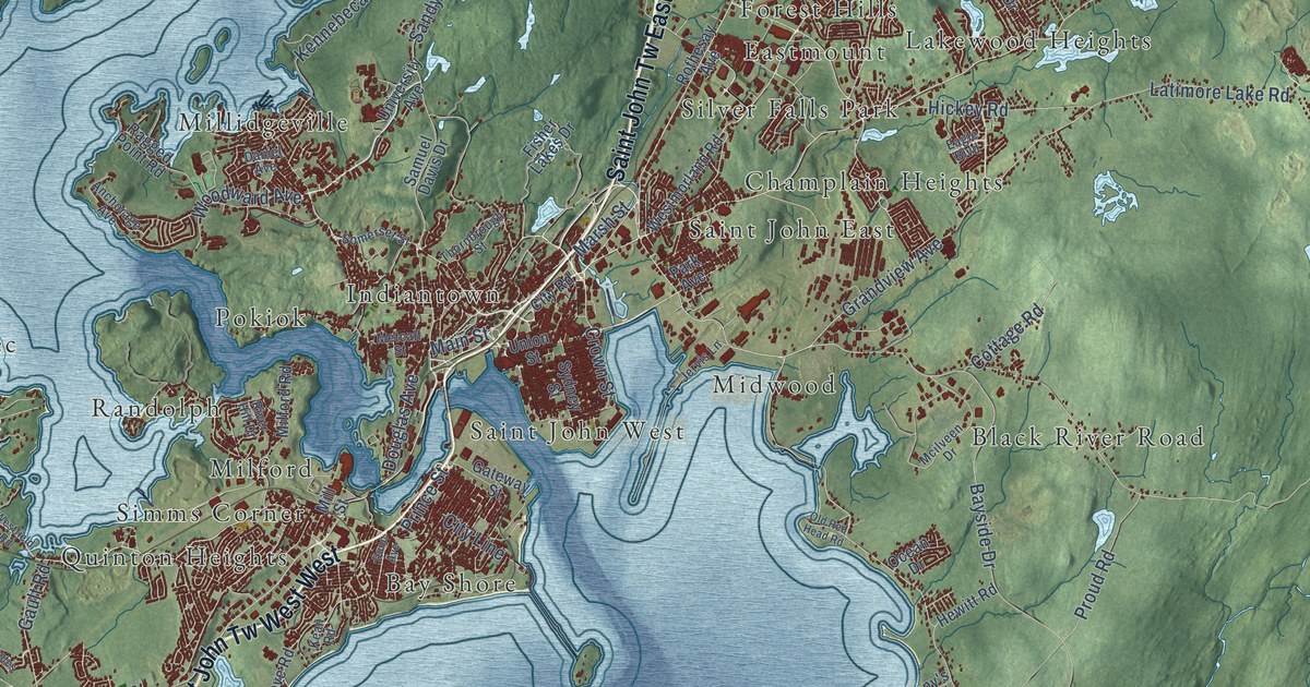
A detailed map of Saint John, New Brunswick, showing every building in its true location, the roads by name, and shaded topographical relief.
Read More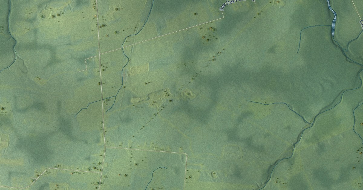
A detailed map of Shediac, New Brunswick, showing every building in its true location, the roads by name, and shaded topographical relief.
Read More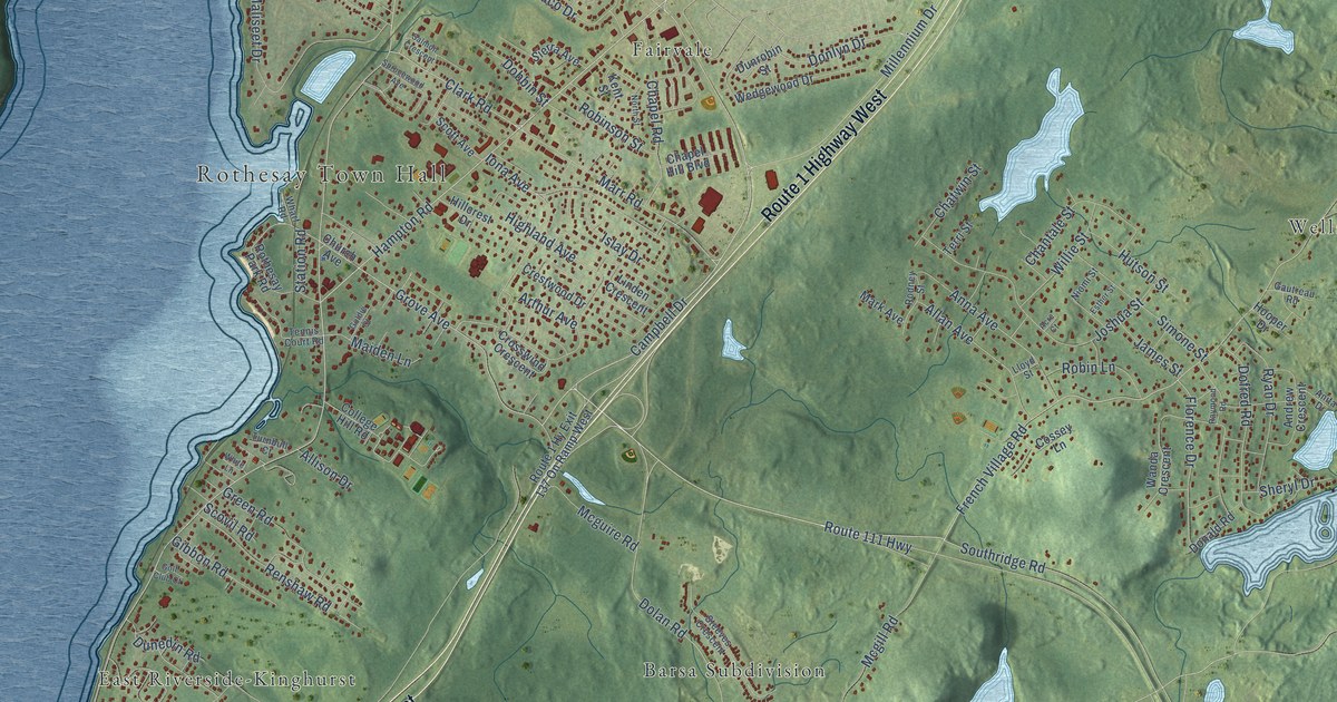
A detailed map of Rothesay, New Brunswick, showing every building in its true location, the roads by name, and shaded topographical relief.
Read More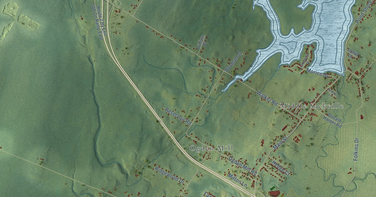
A detailed map of Sackville, New Brunswick, showing every building in its true location, the roads by name, and shaded topographical relief.
Read More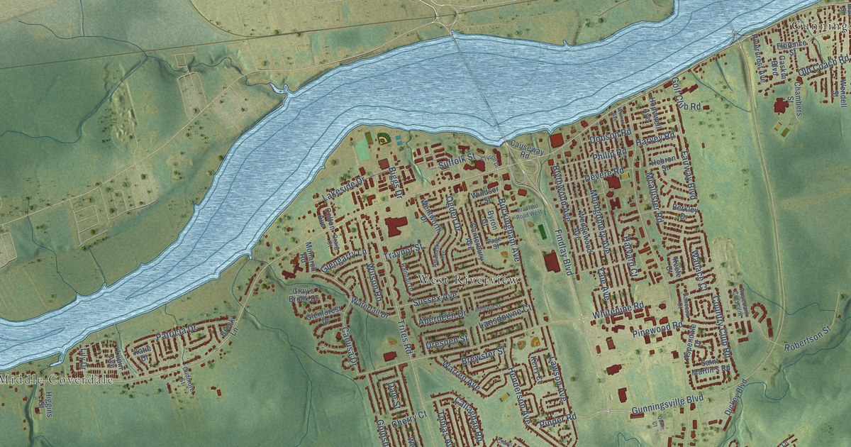
A detailed map of Riverview, New Brunswick, showing every building in its true location, the roads by name, and shaded topographical relief.
Read More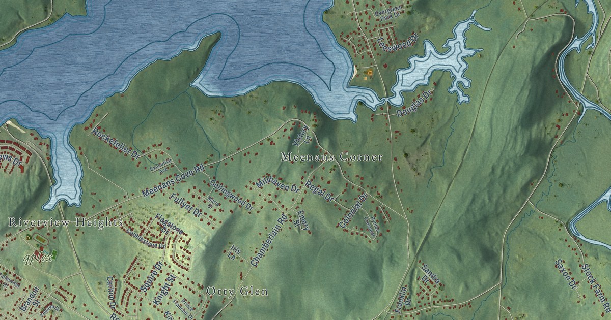
A detailed map of Quispamsis, New Brunswick, showing every building in its true location, the roads by name, and shaded topographical relief.
Read More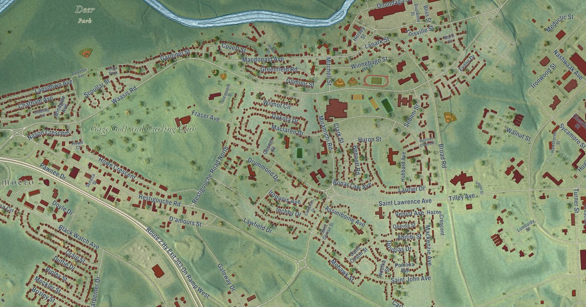
A detailed map of Oromocto, New Brunswick, showing every building in its true location, the roads by name, and shaded topographical relief.
Read More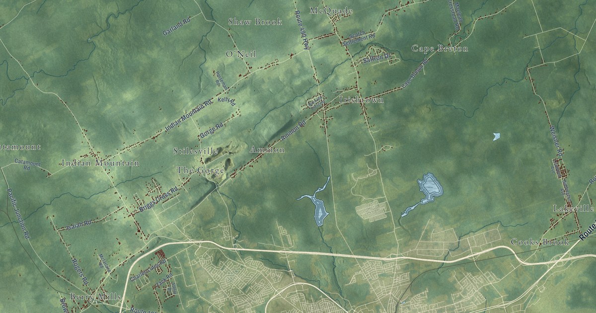
A detailed map of Moncton Parish, New Brunswick, showing every building in its true location, the roads by name, and shaded topographical relief.
Read More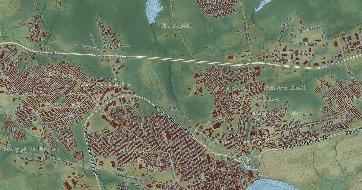
A detailed map of Moncton, New Brunswick, showing every building in its true location, the roads by name, and shaded topographical relief.
Read More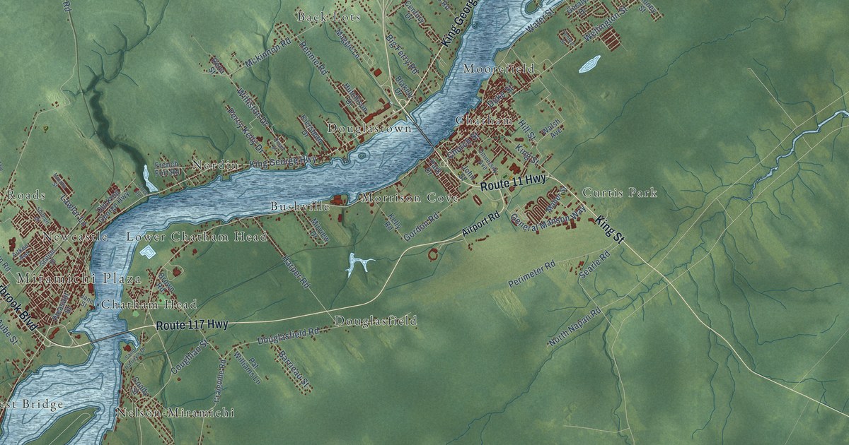
A detailed map of Miramichi, New Brunswick, showing every building in its true location, the roads by name, and shaded topographical relief.
Read More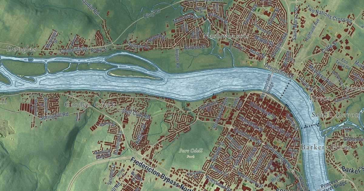
A detailed map of Fredericton, New Brunswick, showing every building in its true location, the roads by name, and shaded topographical relief.
Read More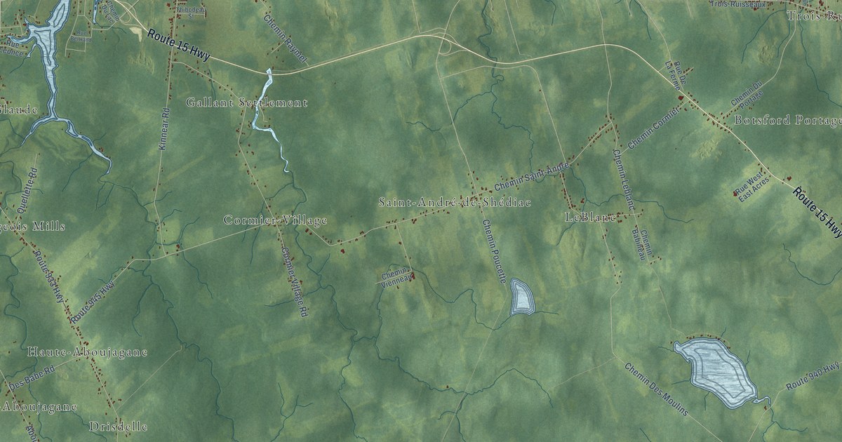
A detailed map of Beaubassin East-Beaubassin-est, New Brunswick, showing every building in its true location, the roads by name, and shaded topographical relief.
Read More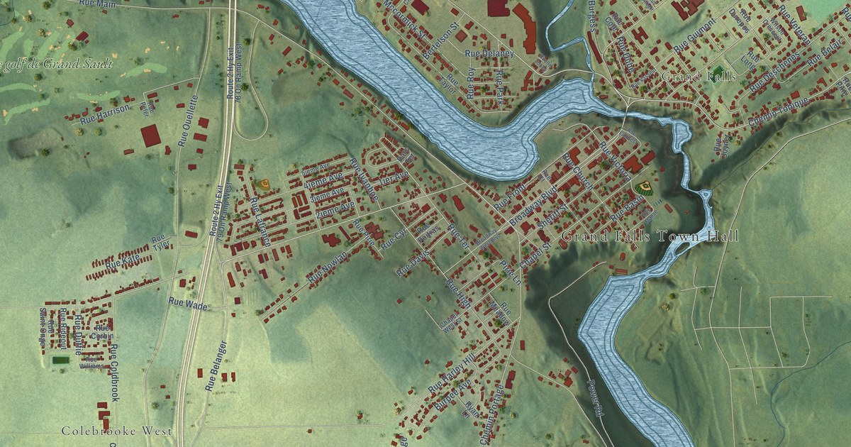
A detailed map of Grand Falls-Grand-Sault, New Brunswick, showing every building in its true location, the roads by name, and shaded topographical relief.
Read More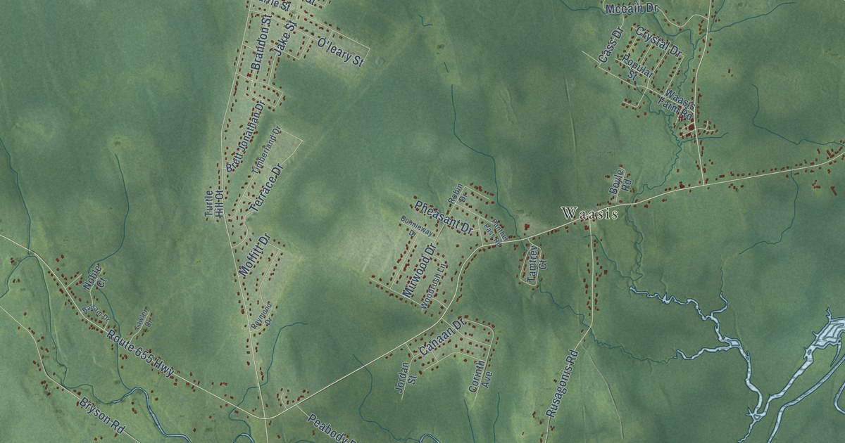
A detailed map of Lincoln Parish, New Brunswick, showing every building in its true location, the roads by name, and shaded topographical relief.
Read More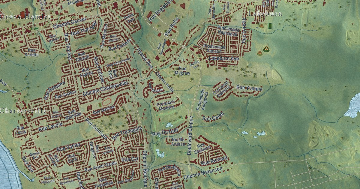
A detailed map of Dieppe, New Brunswick, showing every building in its true location, the roads by name, and shaded topographical relief.
Read More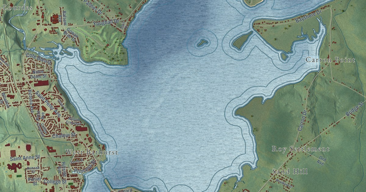
A detailed map of Bathurst, New Brunswick, showing every building in its true location, the roads by name, and shaded topographical relief.
Read More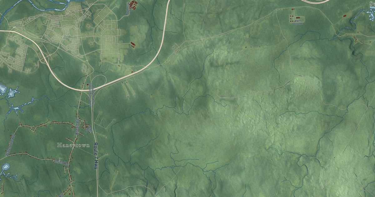
A detailed map of Burton Parish, New Brunswick, showing every building in its true location, the roads by name, and shaded topographical relief.
Read More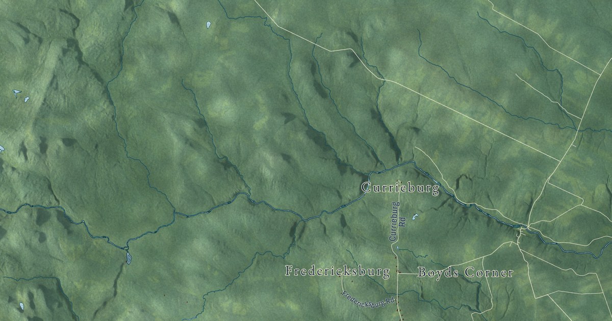
A detailed map of Douglas Parish, New Brunswick, showing every building in its true location, the roads by name, and shaded topographical relief.
Read More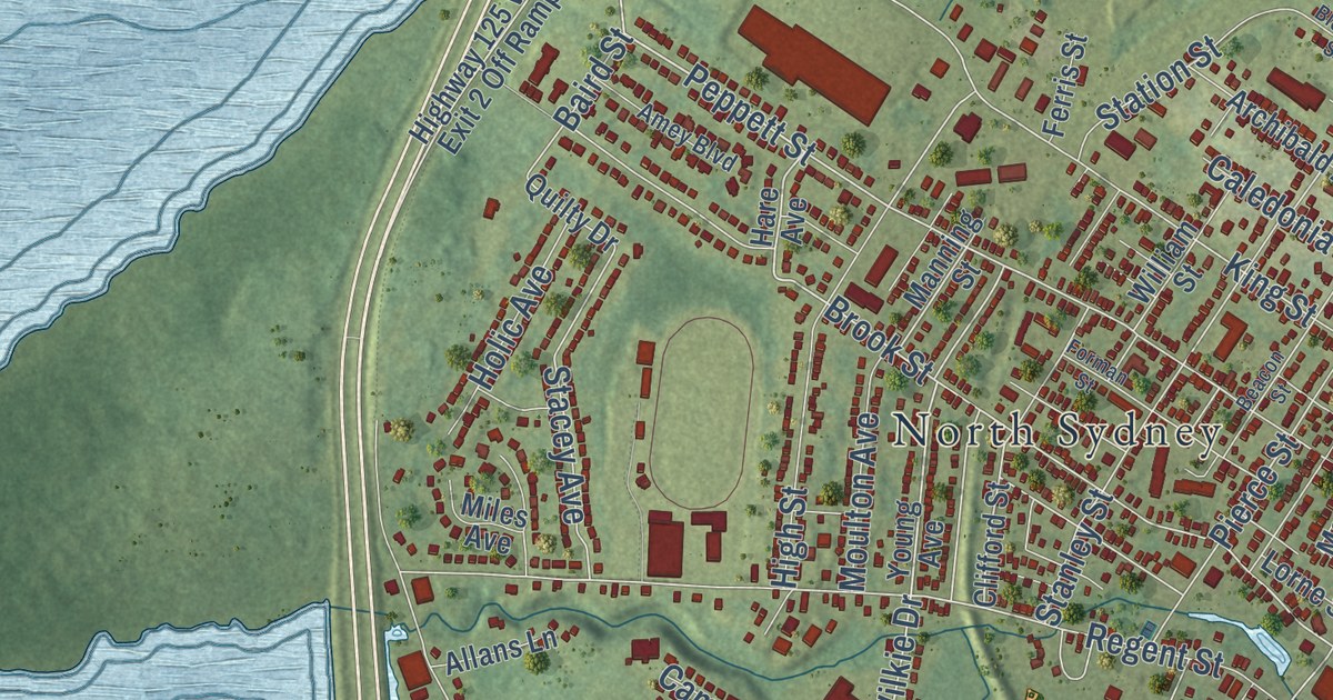
A detailed map of Upper North Sydney, Nova Scotia, showing every building in its true location, the roads by name, and shaded topographical relief.
Read More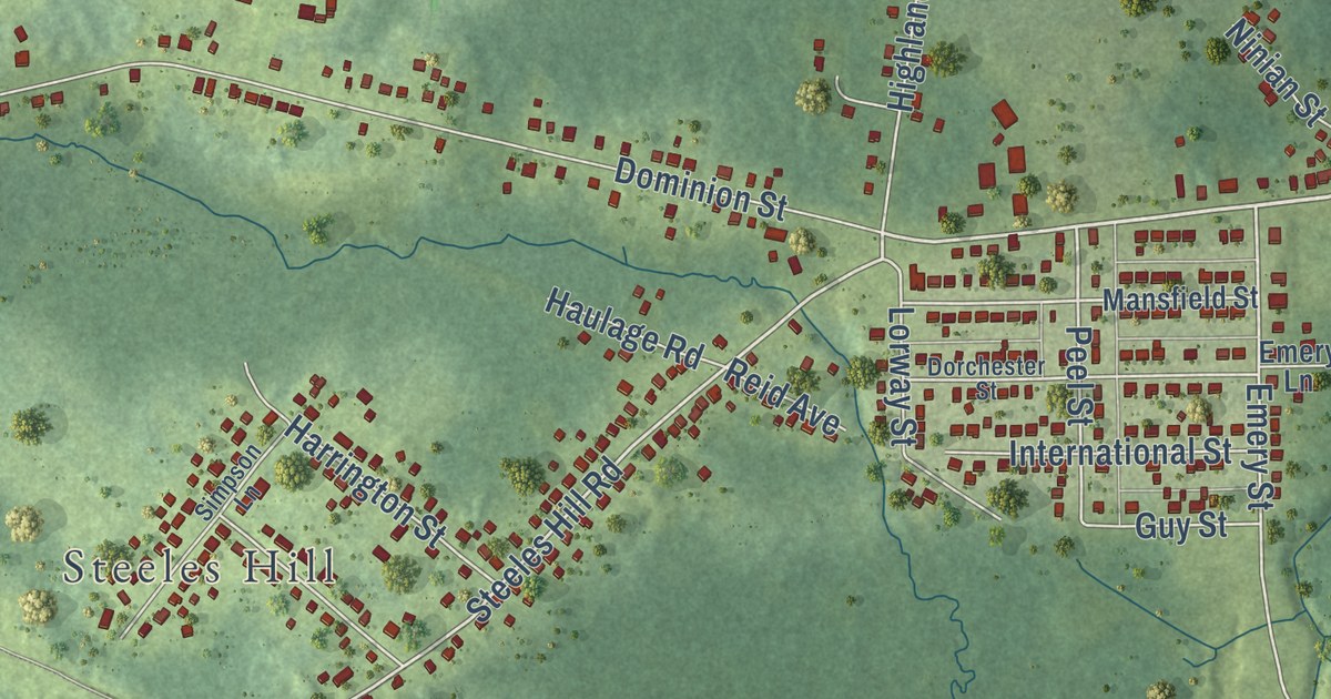
A detailed map of Tower Road, Nova Scotia, showing every building in its true location, the roads by name, and shaded topographical relief.
Read More















