Detailed Map of Sydney River, Nova Scotia
A detailed map of Sydney River, Nova Scotia, showing every building in its true location, the roads by name, and shaded topographical relief.
Read More
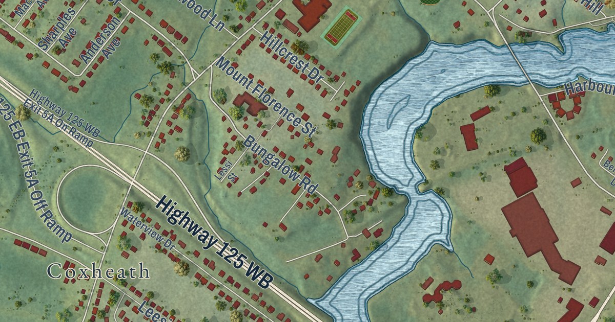
A detailed map of Sydney River, Nova Scotia, showing every building in its true location, the roads by name, and shaded topographical relief.
Read More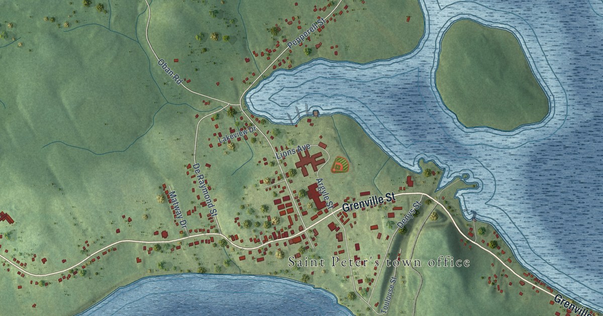
A detailed map of St. Peter’s, Nova Scotia, showing every building in its true location, the roads by name, and shaded topographical relief.
Read More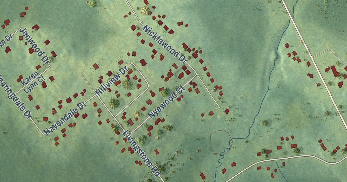
A detailed map of River Ryan, Nova Scotia, showing every building in its true location, the roads by name, and shaded topographical relief.
Read More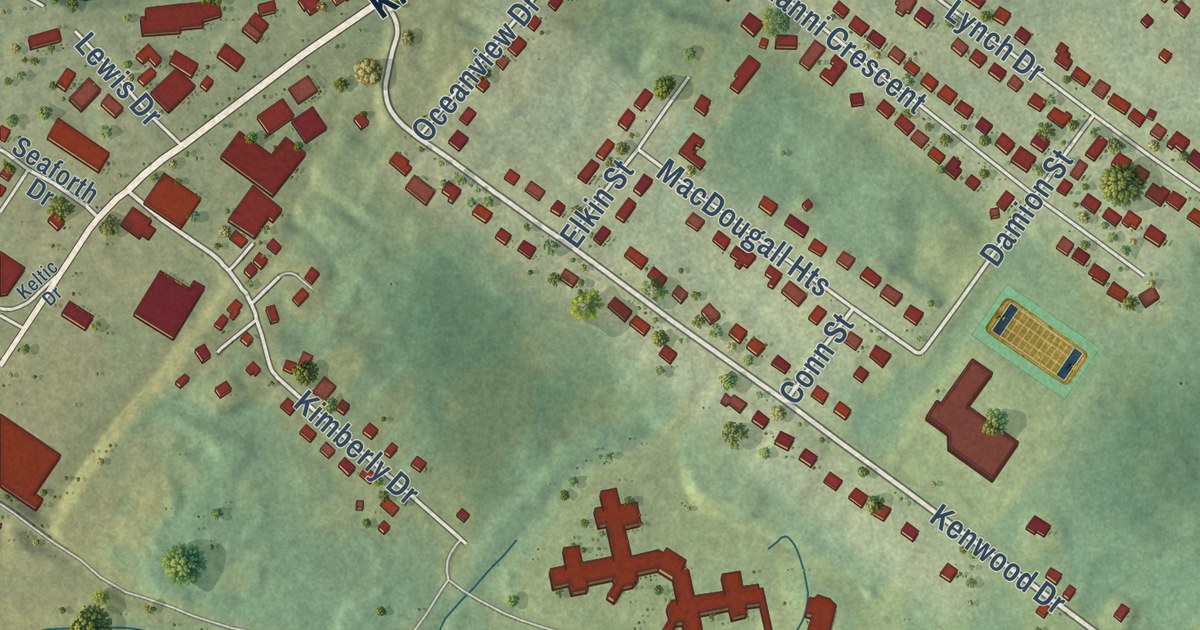
A detailed map of Prime Brook, Nova Scotia, showing every building in its true location, the roads by name, and shaded topographical relief.
Read More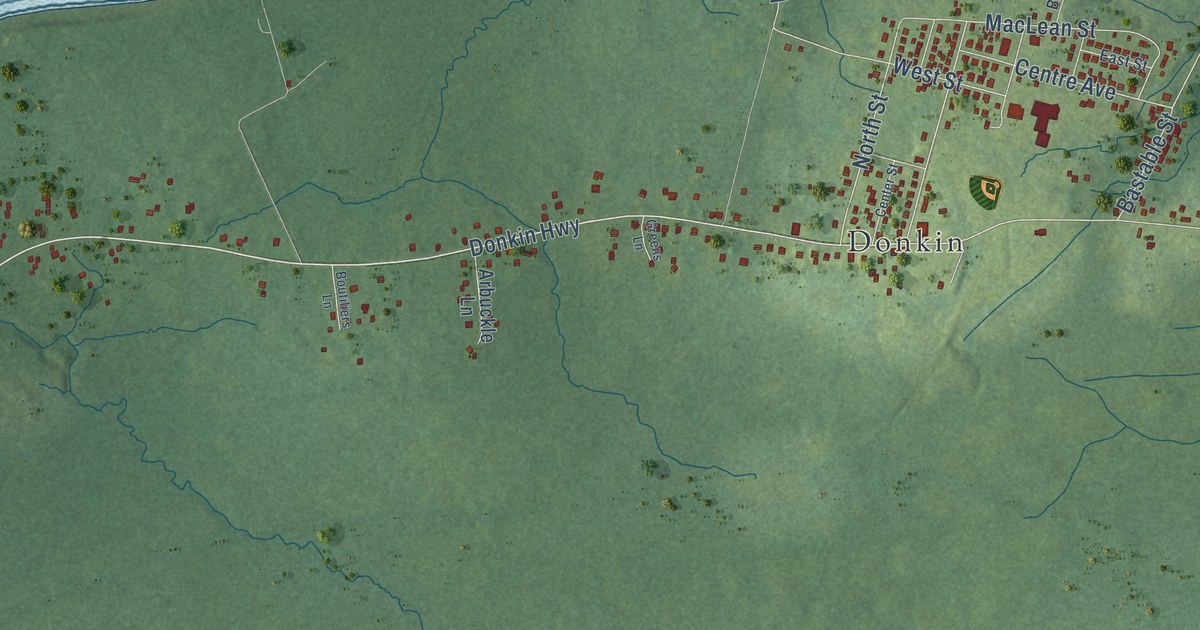
A detailed map of Port Caledonia, Nova Scotia, showing every building in its true location, the roads by name, and shaded topographical relief.
Read More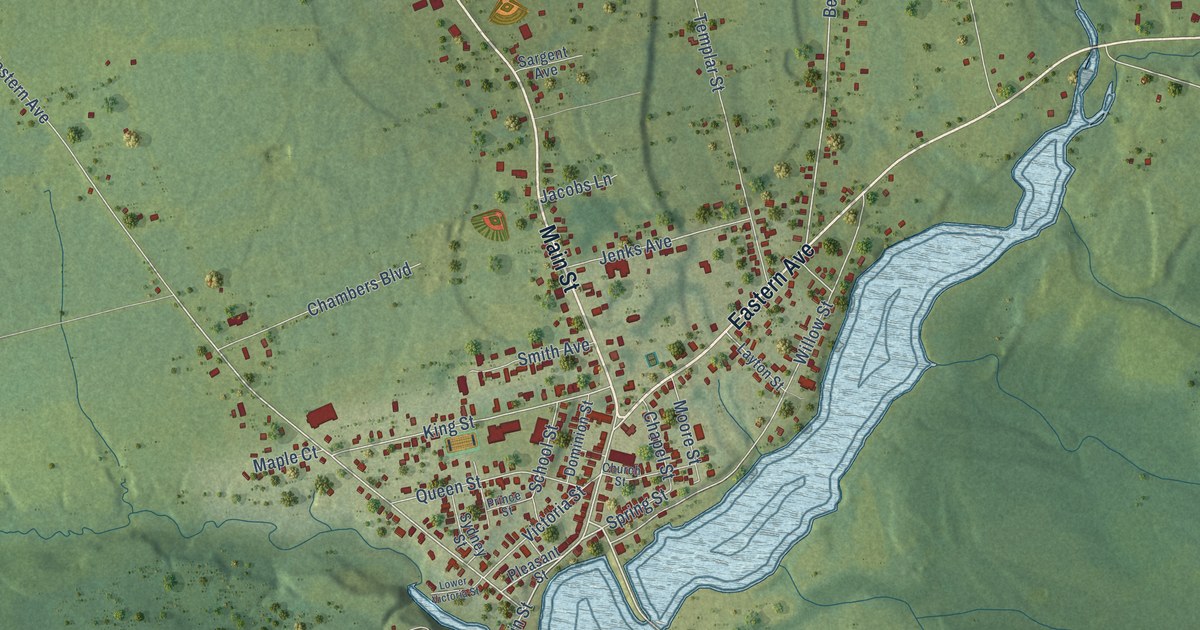
A detailed map of Parrsboro, Nova Scotia, showing every building in its true location, the roads by name, and shaded topographical relief.
Read More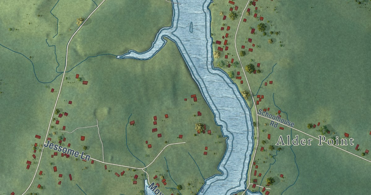
A detailed map of Point Aconi, Nova Scotia, showing every building in its true location, the roads by name, and shaded topographical relief.
Read More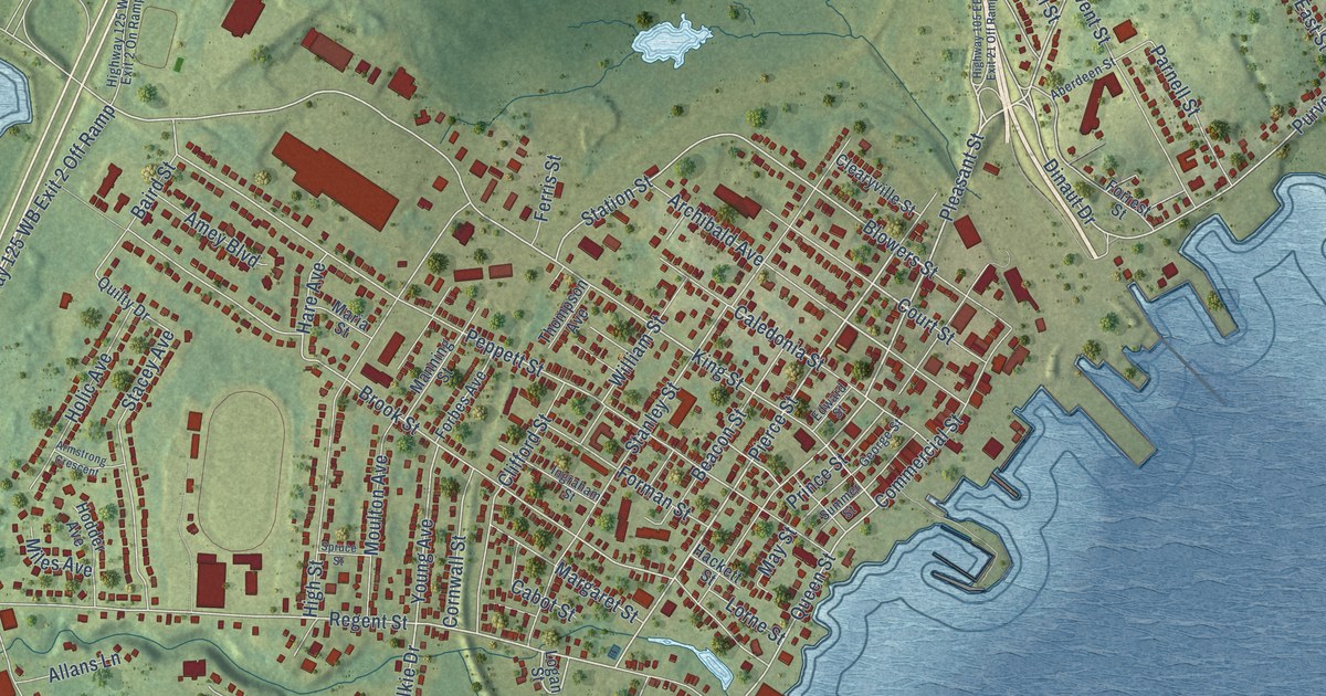
A detailed map of North Sydney, Nova Scotia, showing every building in its true location, the roads by name, and shaded topographical relief.
Read More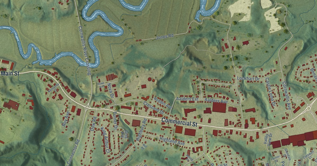
A detailed map of New Minas, Nova Scotia, showing every building in its true location, the roads by name, and shaded topographical relief.
Read More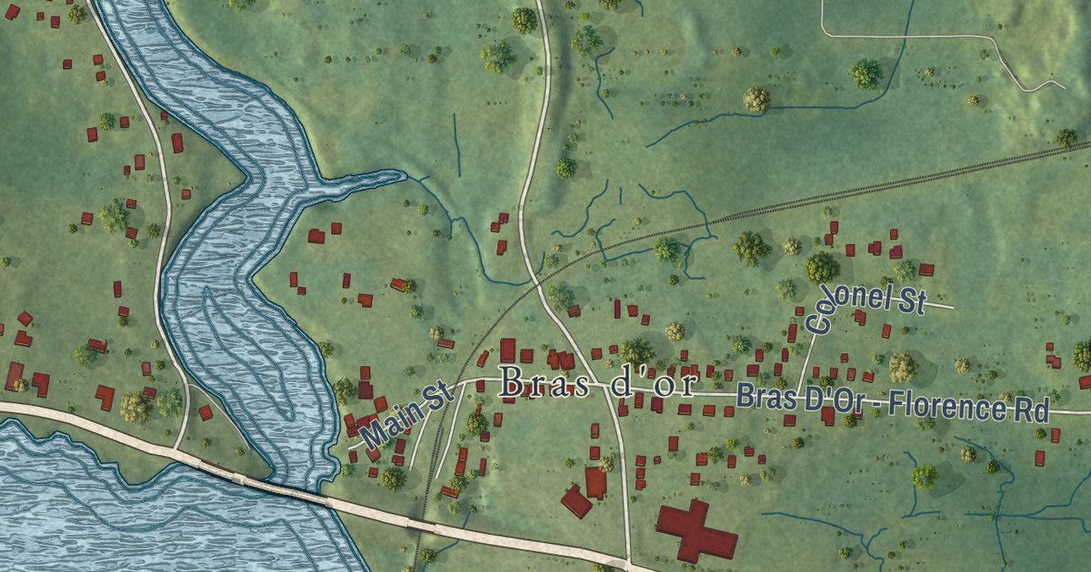
A detailed map of Mill Creek, Nova Scotia, showing every building in its true location, the roads by name, and shaded topographical relief.
Read More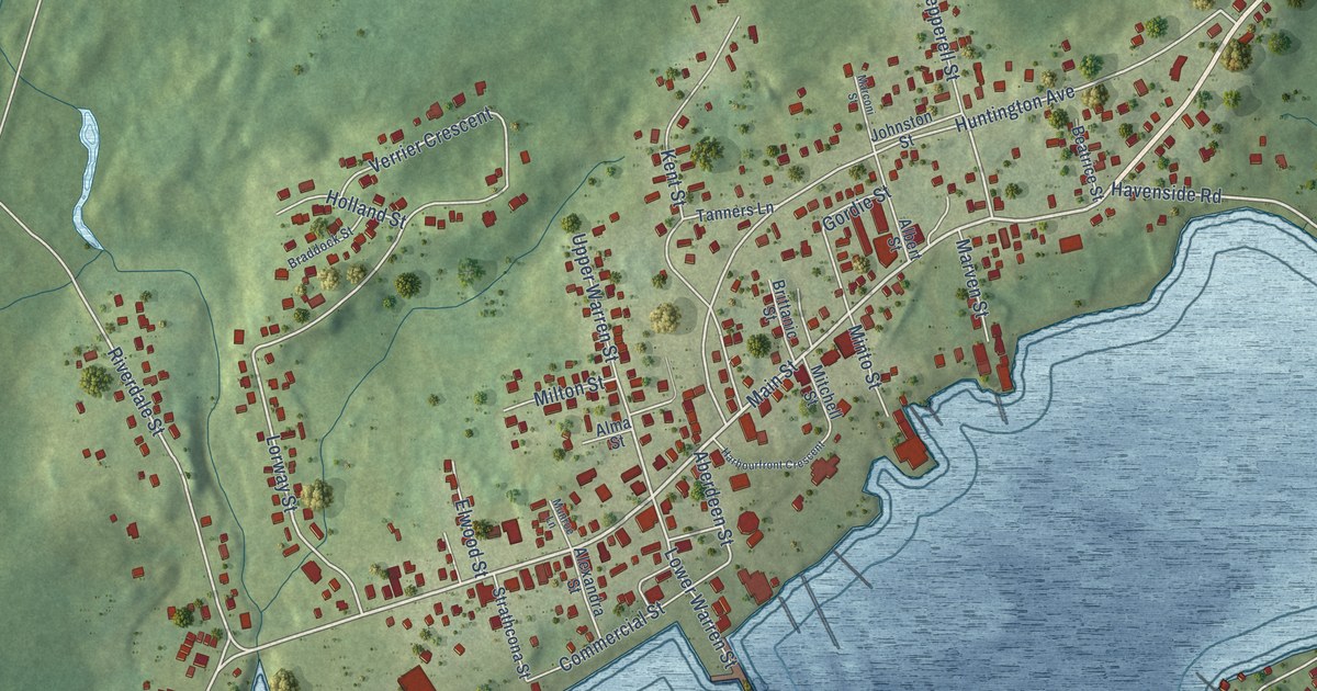
A detailed map of Louisbourg, Nova Scotia, showing every building in its true location, the roads by name, and shaded topographical relief.
Read More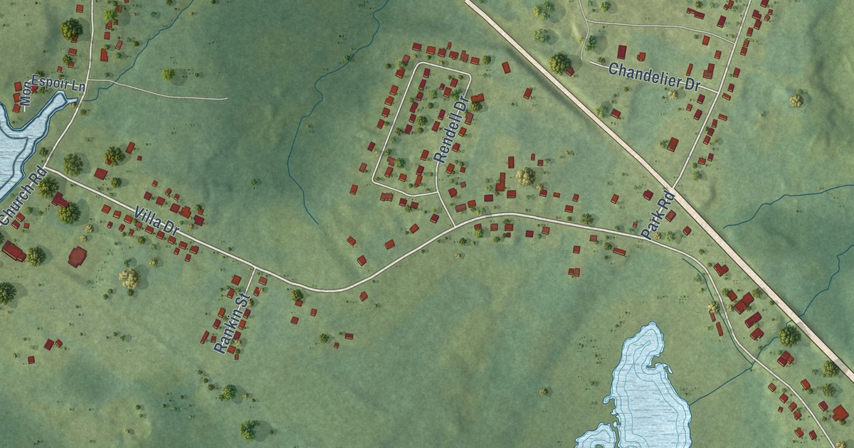
A detailed map of Little Bras D’Or, Nova Scotia, showing every building in its true location, the roads by name, and shaded topographical relief.
Read More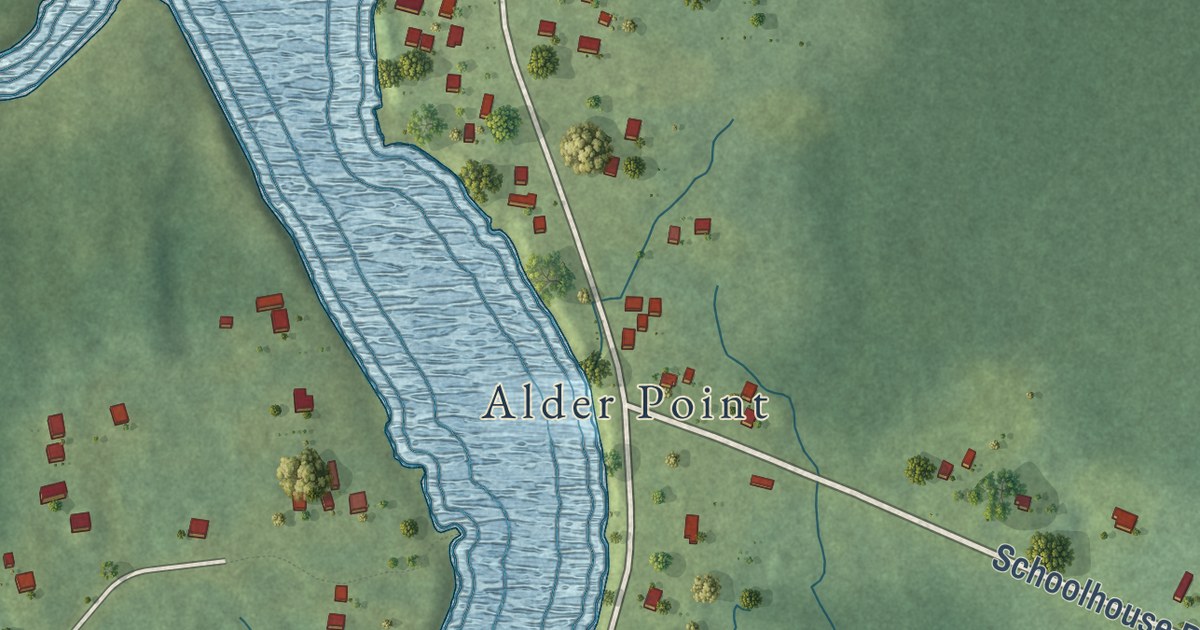
A detailed map of Little Pond, Nova Scotia, showing every building in its true location, the roads by name, and shaded topographical relief.
Read More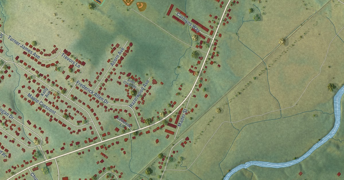
A detailed map of Lantz, Nova Scotia, showing every building in its true location, the roads by name, and shaded topographical relief.
Read More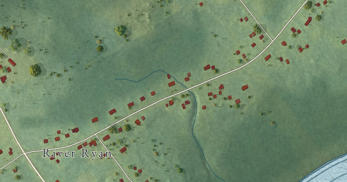
A detailed map of Lingan, Nova Scotia, showing every building in its true location, the roads by name, and shaded topographical relief.
Read More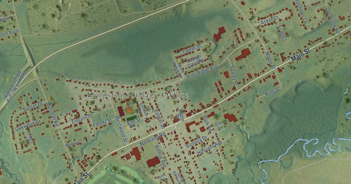
A detailed map of Kingston, Nova Scotia, showing every building in its true location, the roads by name, and shaded topographical relief.
Read More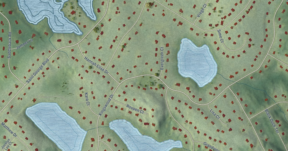
A detailed map of Hammonds Plains, Nova Scotia, showing every building in its true location, the roads by name, and shaded topographical relief.
Read More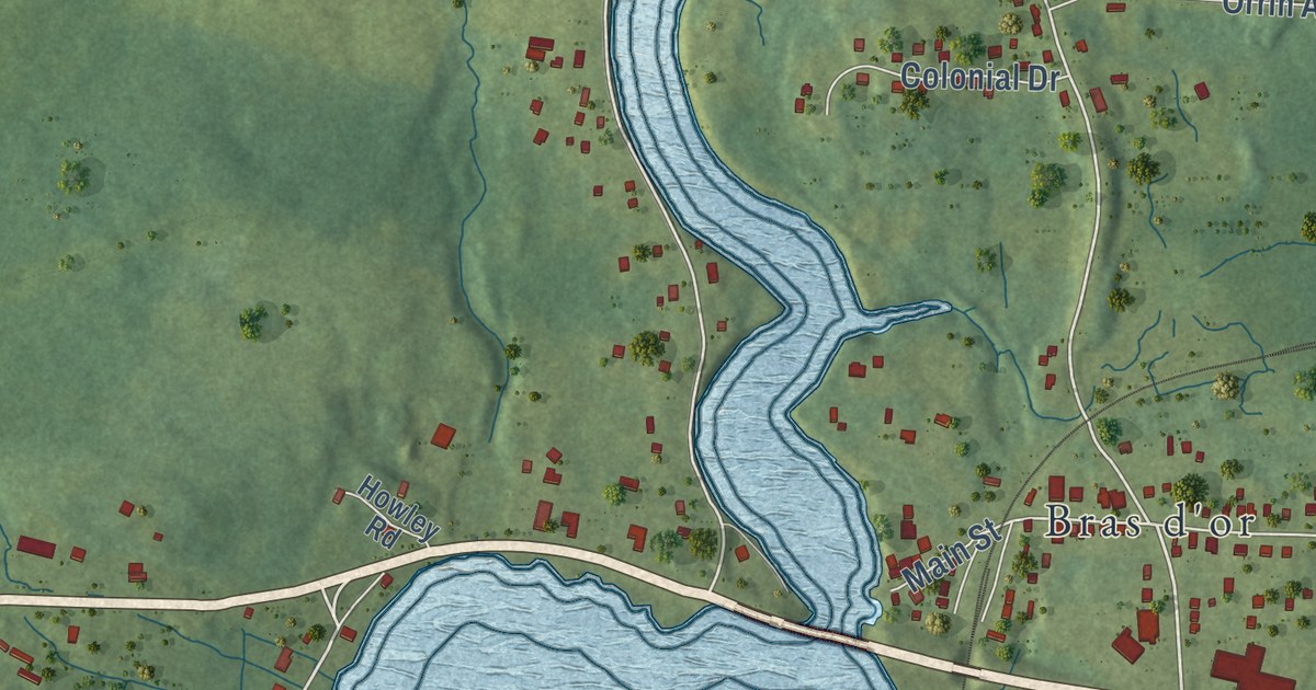
A detailed map of Groves Point, Nova Scotia, showing every building in its true location, the roads by name, and shaded topographical relief.
Read More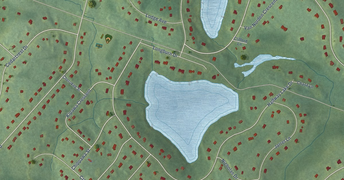
A detailed map of English Corner, Nova Scotia, showing every building in its true location, the roads by name, and shaded topographical relief.
Read More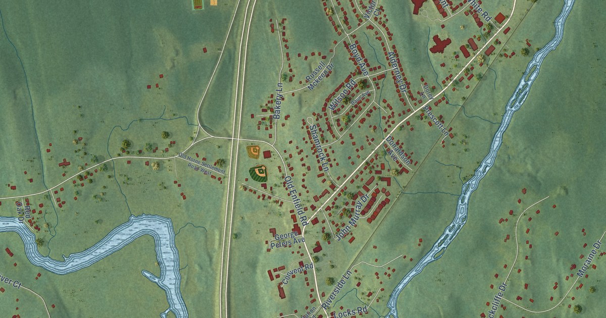
A detailed map of Enfield, Nova Scotia, showing every building in its true location, the roads by name, and shaded topographical relief.
Read More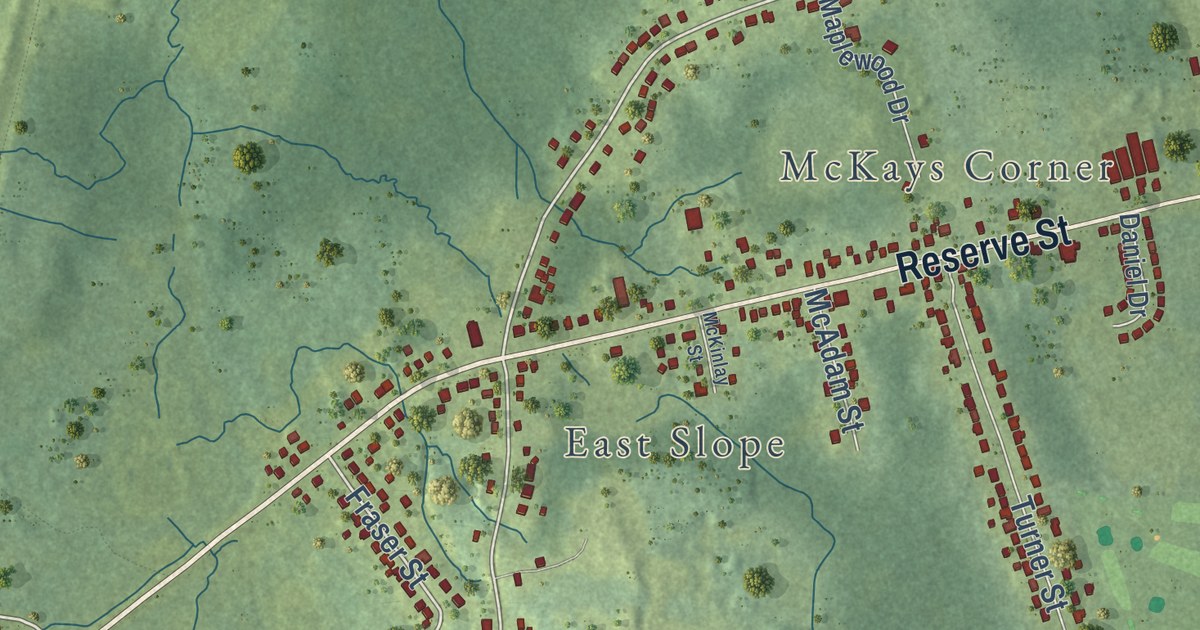
A detailed map of Dominion, Nova Scotia, showing every building in its true location, the roads by name, and shaded topographical relief.
Read More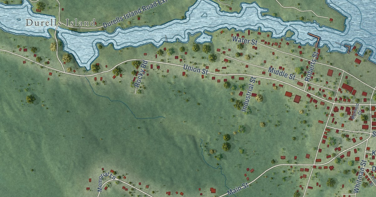
A detailed map of Canso, Nova Scotia, showing every building in its true location, the roads by name, and shaded topographical relief.
Read More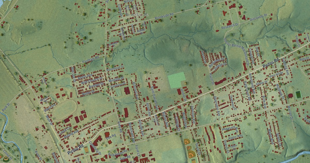
A detailed map of Bible Hill, Nova Scotia, showing every building in its true location, the roads by name, and shaded topographical relief.
Read More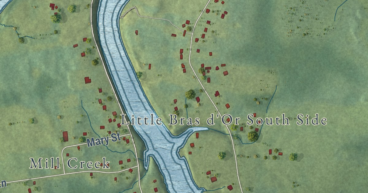
A detailed map of Alder Point, Nova Scotia, showing every building in its true location, the roads by name, and shaded topographical relief.
Read More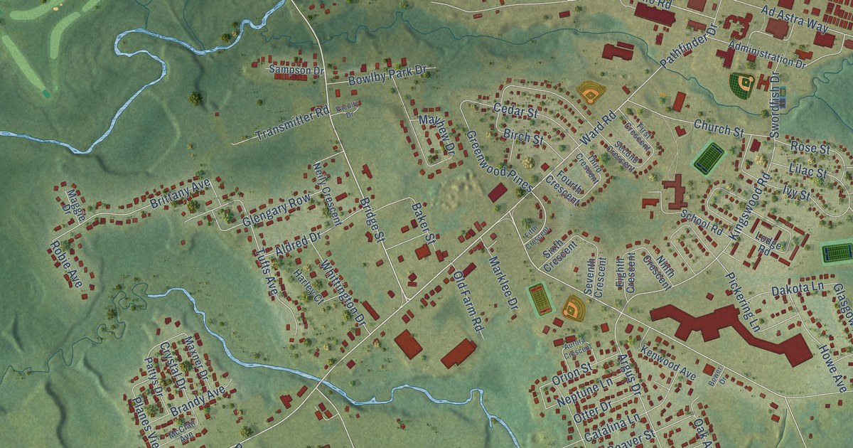
A detailed map of Greenwood, Nova Scotia, showing every building in its true location, the roads by name, and shaded topographical relief.
Read More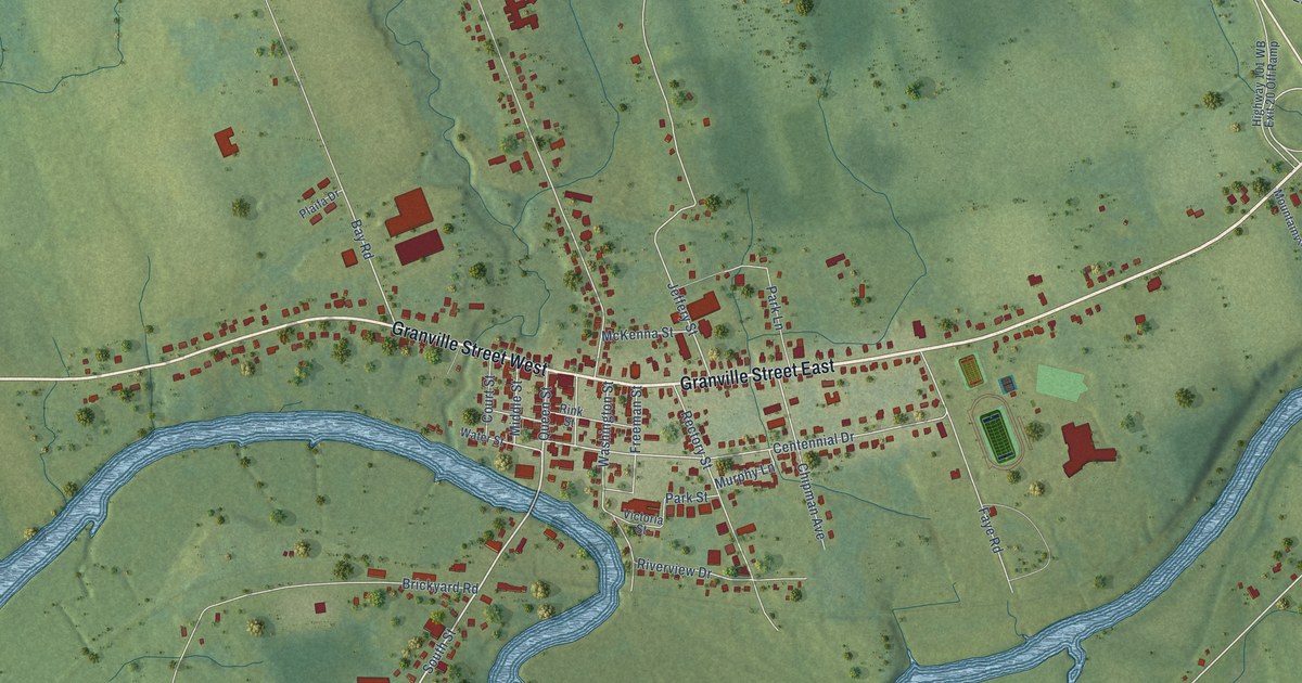
A detailed map of Bridgetown, Nova Scotia, showing every building in its true location, the roads by name, and shaded topographical relief.
Read More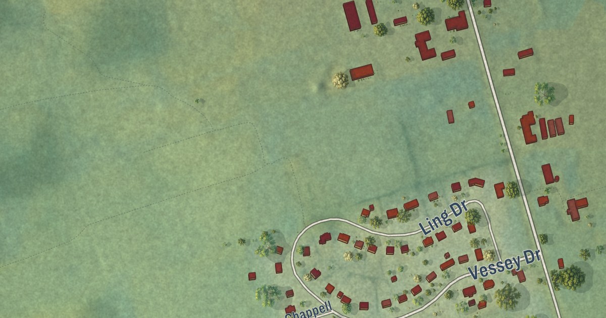
A detailed map of York, Prince Edward Island, showing every building in its true location, the roads by name, and shaded topographical relief.
Read More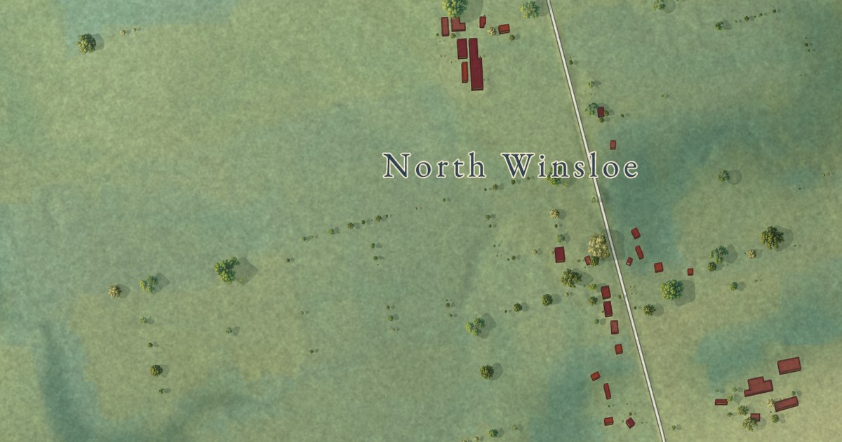
A detailed map of North Winsloe, Prince Edward Island, showing every building in its true location, the roads by name, and shaded topographical relief.
Read More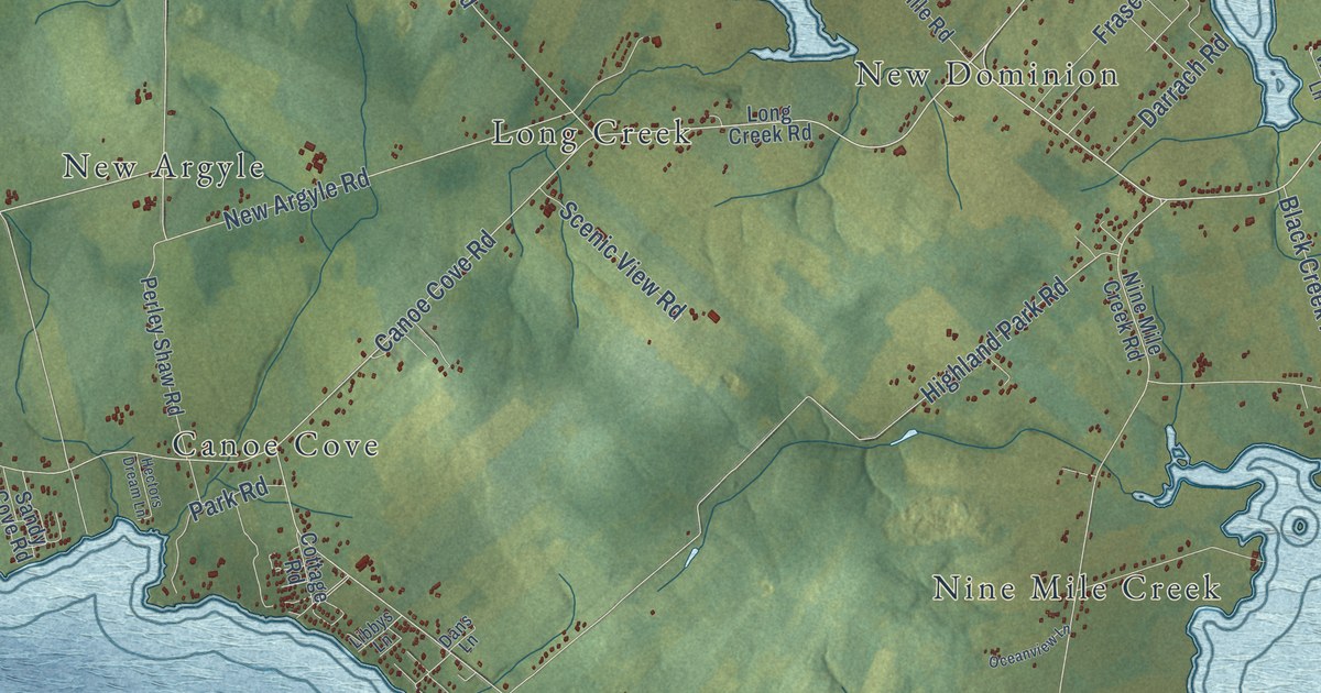
A detailed map of West River, Prince Edward Island, showing every building in its true location, the roads by name, and shaded topographical relief.
Read More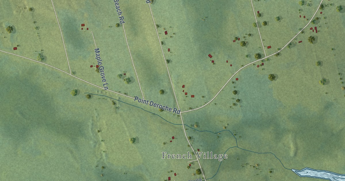
A detailed map of Wild Harbour, Prince Edward Island, showing every building in its true location, the roads by name, and shaded topographical relief.
Read More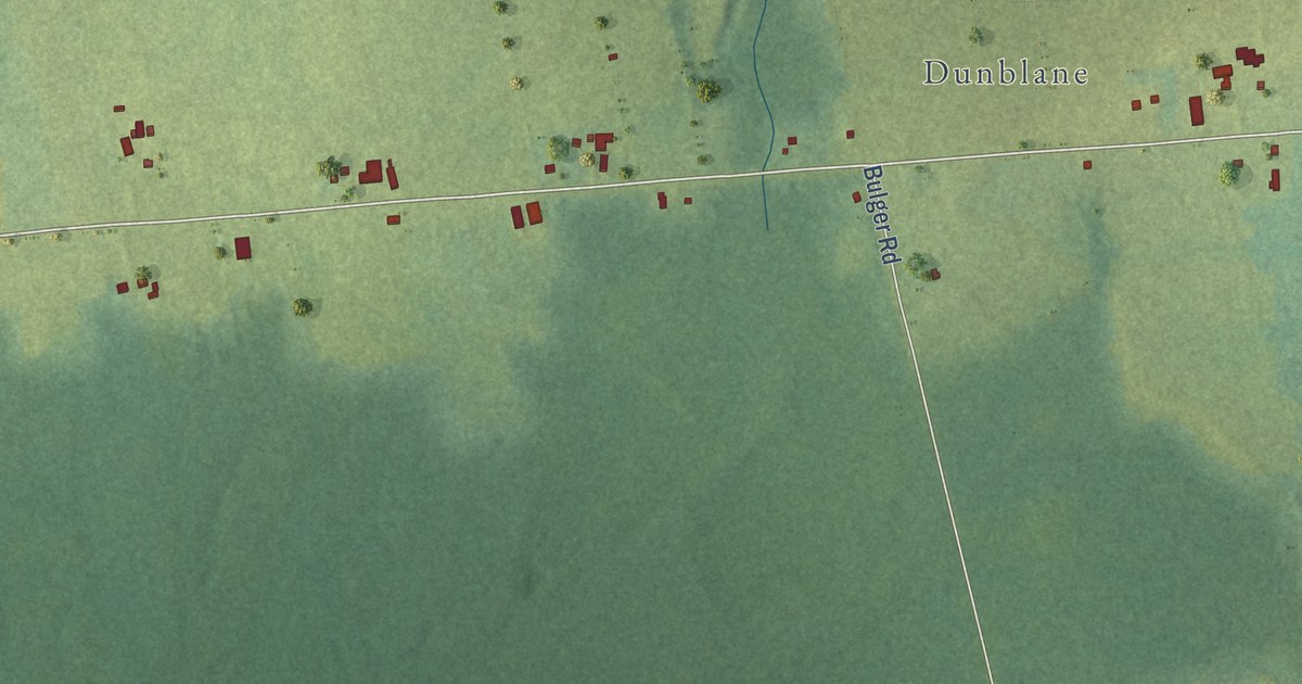
A detailed map of West Point, Prince Edward Island, showing every building in its true location, the roads by name, and shaded topographical relief.
Read More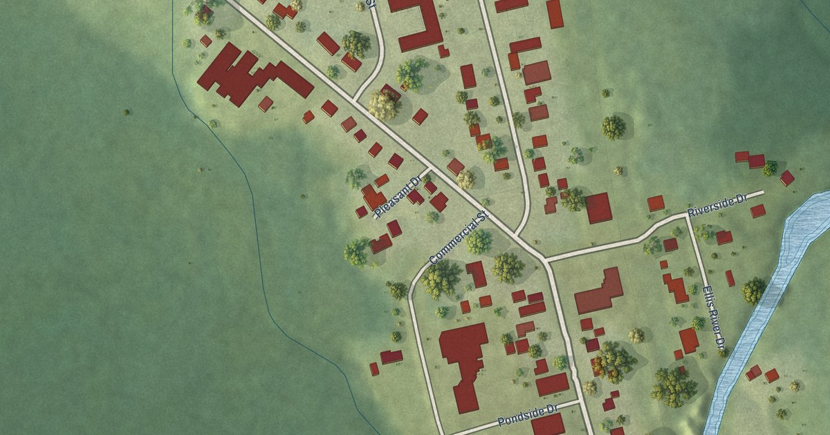
A detailed map of Wellington, Prince Edward Island, showing every building in its true location, the roads by name, and shaded topographical relief.
Read More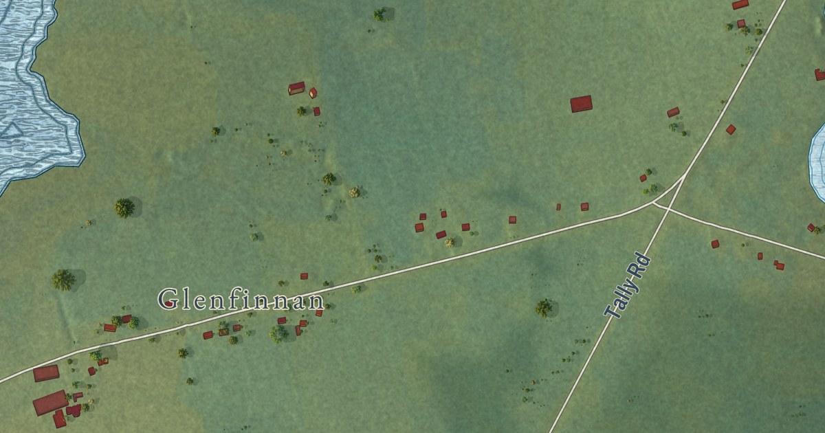
A detailed map of Websters Corner, Prince Edward Island, showing every building in its true location, the roads by name, and shaded topographical relief.
Read More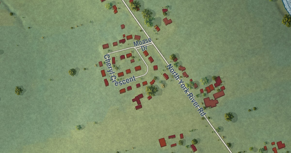
A detailed map of Warren Grove, Prince Edward Island, showing every building in its true location, the roads by name, and shaded topographical relief.
Read More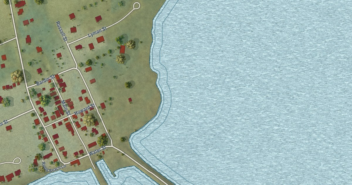
A detailed map of Victoria, Prince Edward Island, showing every building in its true location, the roads by name, and shaded topographical relief.
Read More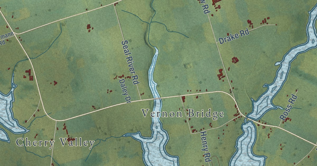
A detailed map of Vernon River, Prince Edward Island, showing every building in its true location, the roads by name, and shaded topographical relief.
Read More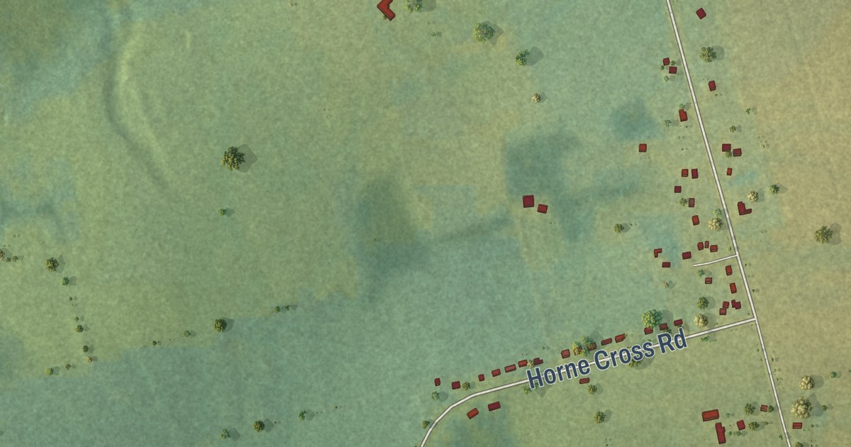
A detailed map of Union Road, Prince Edward Island, showing every building in its true location, the roads by name, and shaded topographical relief.
Read More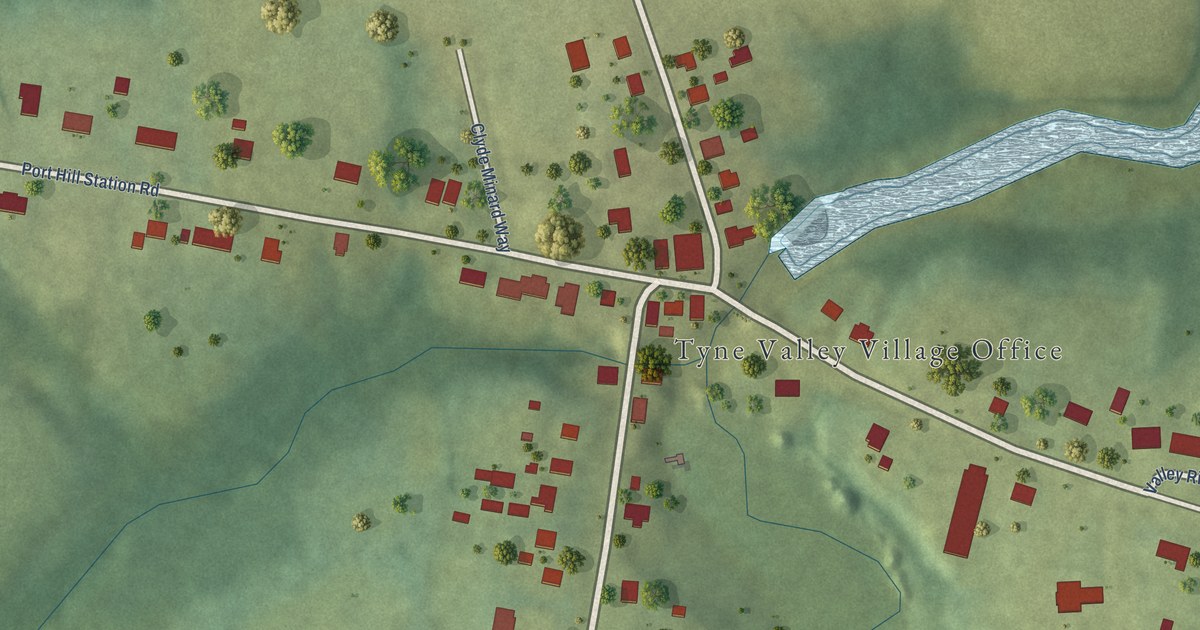
A detailed map of Tyne Valley, Prince Edward Island, showing every building in its true location, the roads by name, and shaded topographical relief.
Read More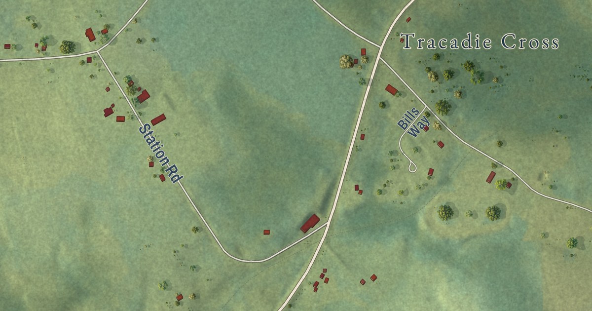
A detailed map of Tracadie, Prince Edward Island, showing every building in its true location, the roads by name, and shaded topographical relief.
Read More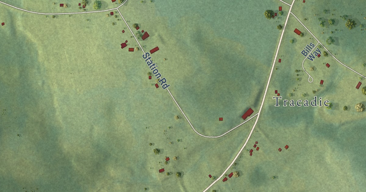
A detailed map of Tracadie Cross, Prince Edward Island, showing every building in its true location, the roads by name, and shaded topographical relief.
Read More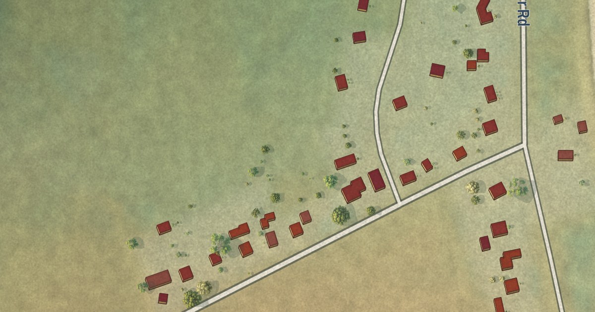
A detailed map of Tignish Shore, Prince Edward Island, showing every building in its true location, the roads by name, and shaded topographical relief.
Read More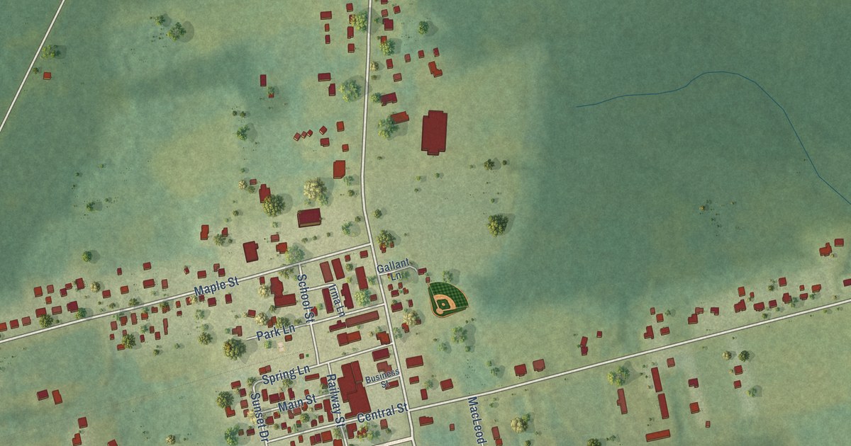
A detailed map of Tignish, Prince Edward Island, showing every building in its true location, the roads by name, and shaded topographical relief.
Read More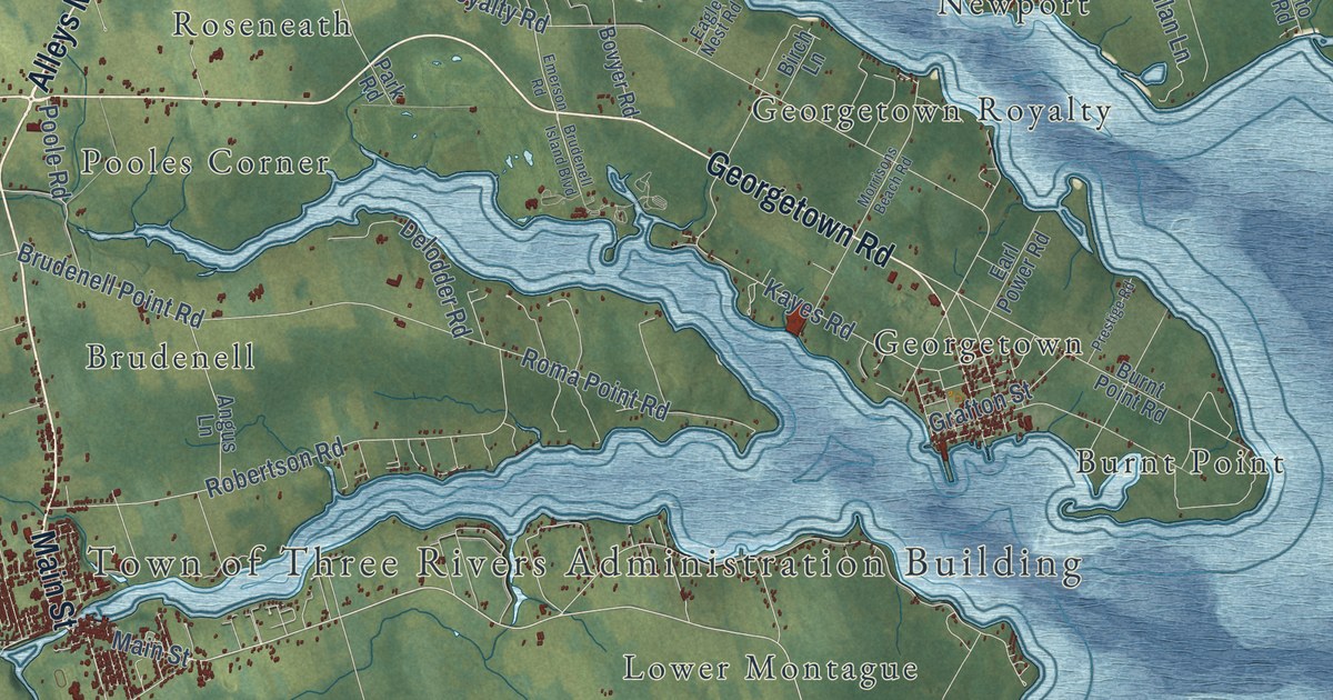
A detailed map of Three Rivers, Prince Edward Island, showing every building in its true location, the roads by name, and shaded topographical relief.
Read More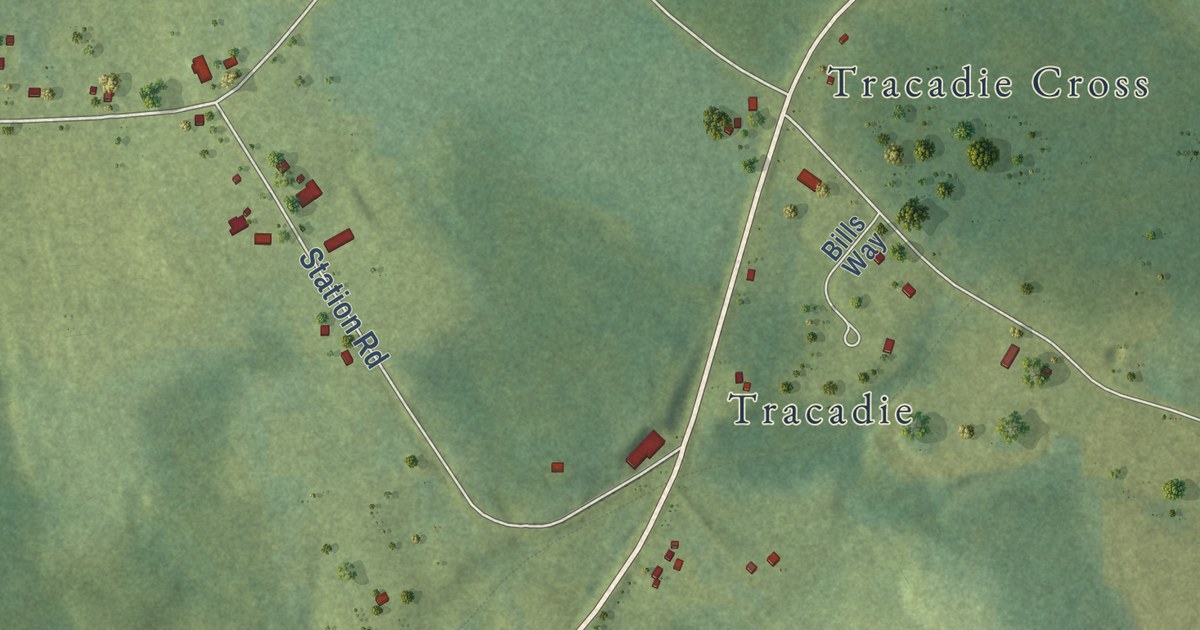
A detailed map of Tenmile House, Prince Edward Island, showing every building in its true location, the roads by name, and shaded topographical relief.
Read More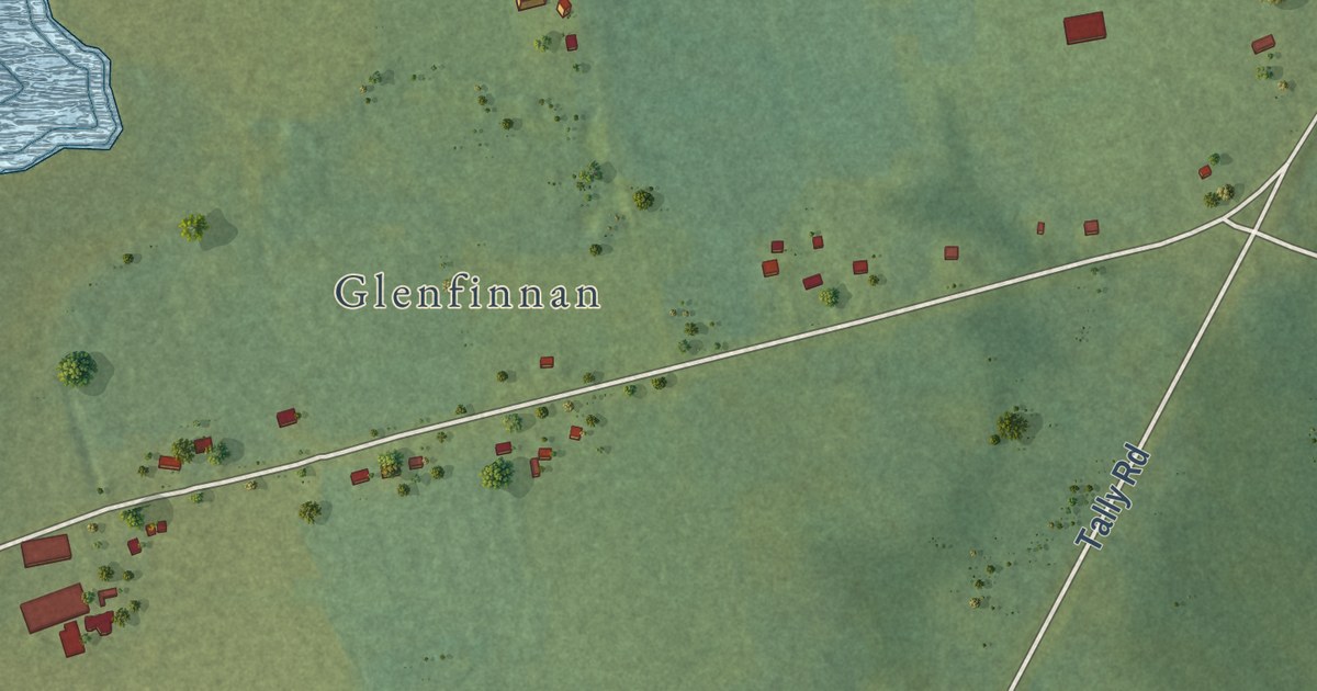
A detailed map of Tarantum, Prince Edward Island, showing every building in its true location, the roads by name, and shaded topographical relief.
Read More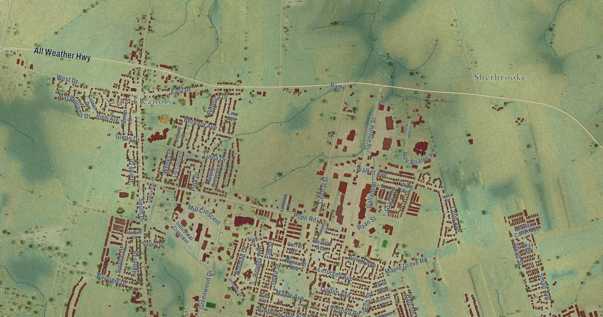
A detailed map of Summerside, Prince Edward Island, showing every building in its true location, the roads by name, and shaded topographical relief.
Read More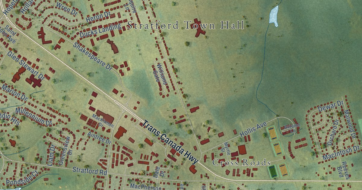
A detailed map of Stratford, Prince Edward Island, showing every building in its true location, the roads by name, and shaded topographical relief.
Read More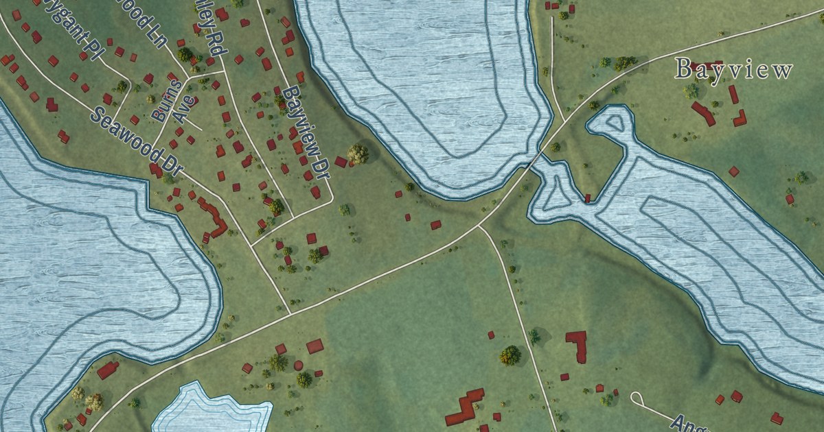
A detailed map of Stanley Bridge, Prince Edward Island, showing every building in its true location, the roads by name, and shaded topographical relief.
Read More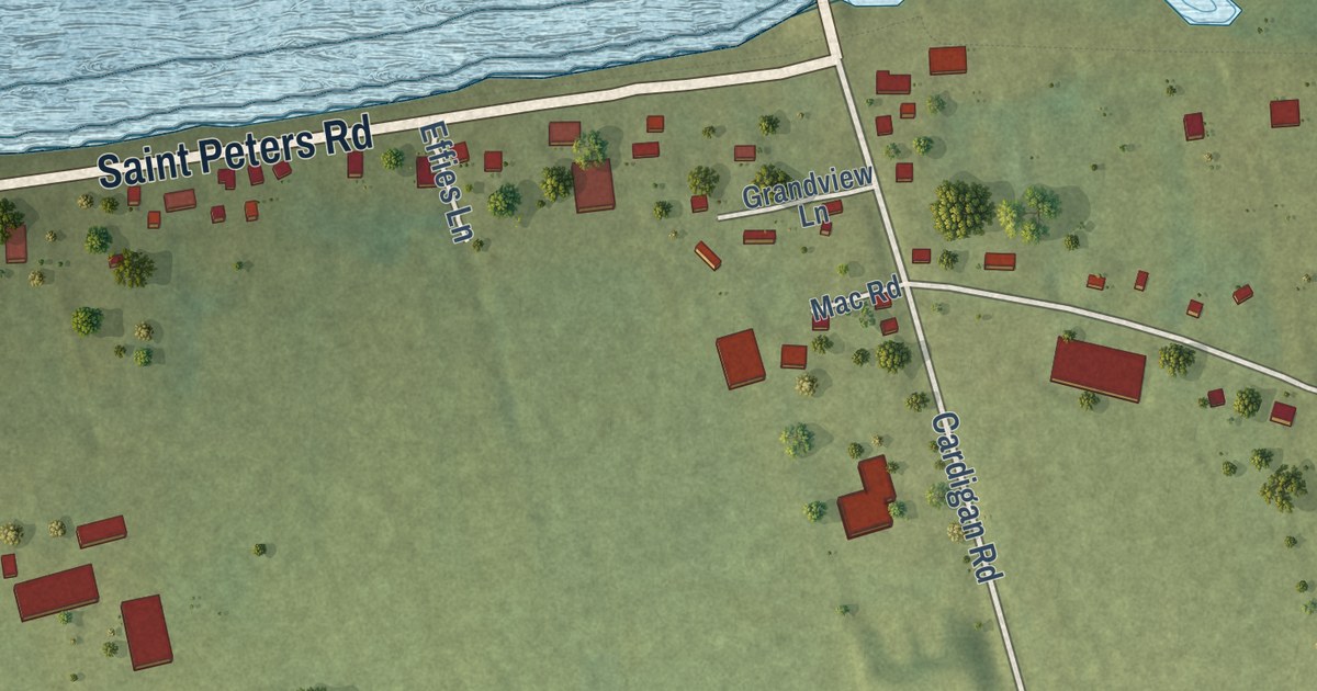
A detailed map of St. Peters Bay, Prince Edward Island, showing every building in its true location, the roads by name, and shaded topographical relief.
Read More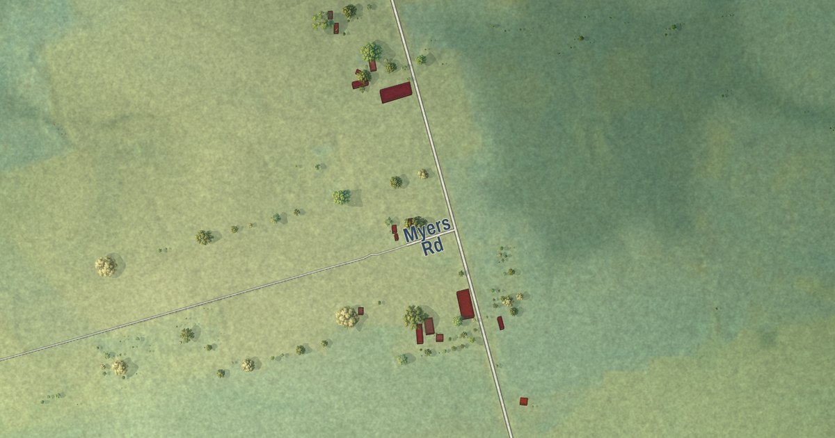
A detailed map of St. Patrick Road, Prince Edward Island, showing every building in its true location, the roads by name, and shaded topographical relief.
Read More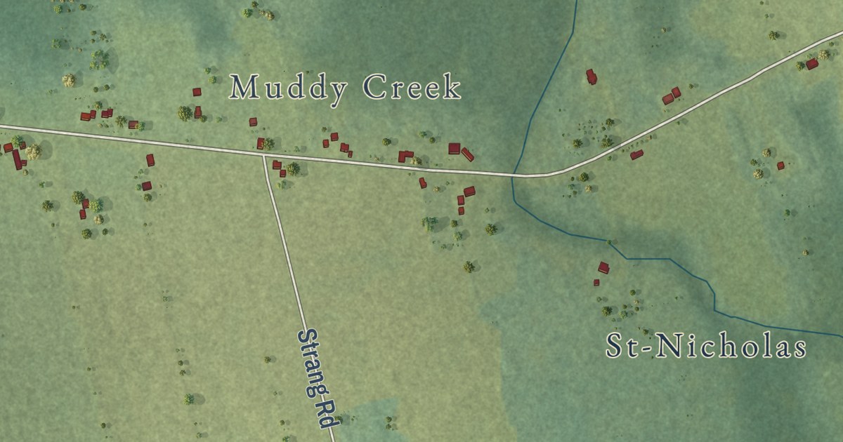
A detailed map of St. Nicholas, Prince Edward Island, showing every building in its true location, the roads by name, and shaded topographical relief.
Read More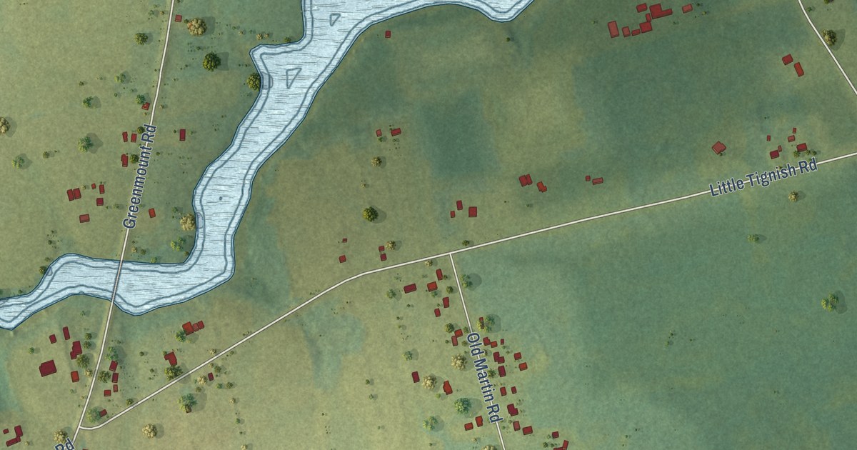
A detailed map of St. Felix, Prince Edward Island, showing every building in its true location, the roads by name, and shaded topographical relief.
Read More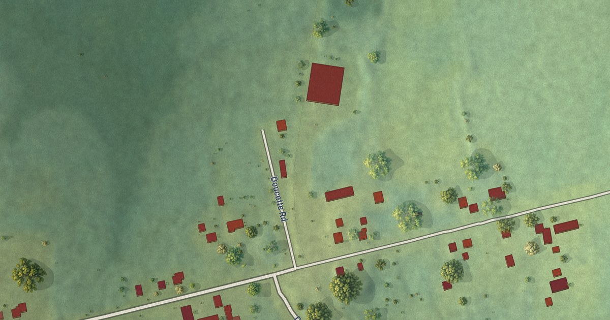
A detailed map of St. Louis, Prince Edward Island, showing every building in its true location, the roads by name, and shaded topographical relief.
Read More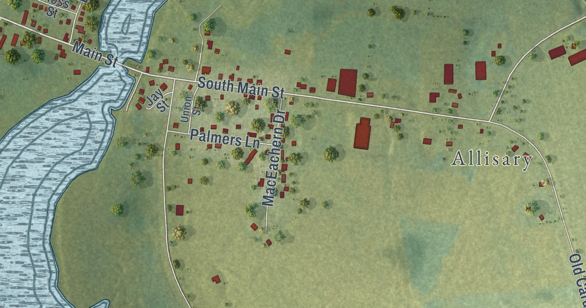
A detailed map of St. Andrews, Prince Edward Island, showing every building in its true location, the roads by name, and shaded topographical relief.
Read More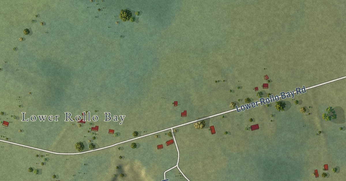
A detailed map of Souris West, Prince Edward Island, showing every building in its true location, the roads by name, and shaded topographical relief.
Read More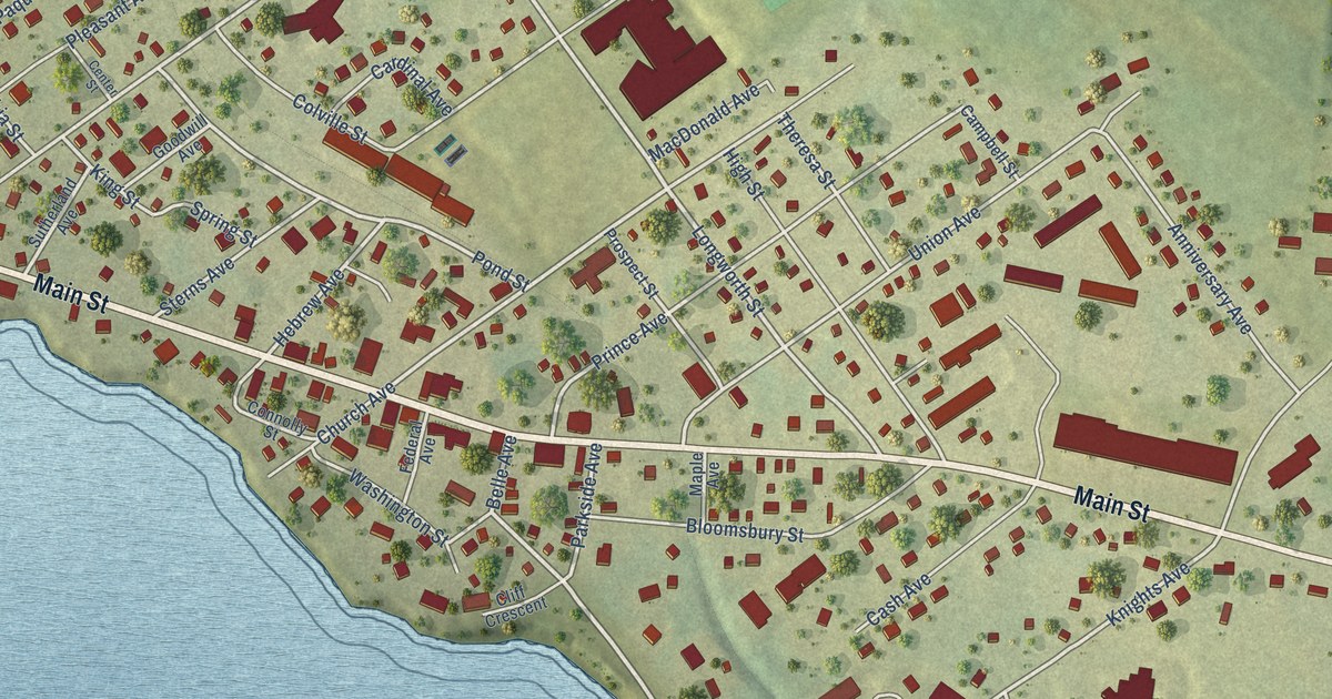
A detailed map of Souris, Prince Edward Island, showing every building in its true location, the roads by name, and shaded topographical relief.
Read More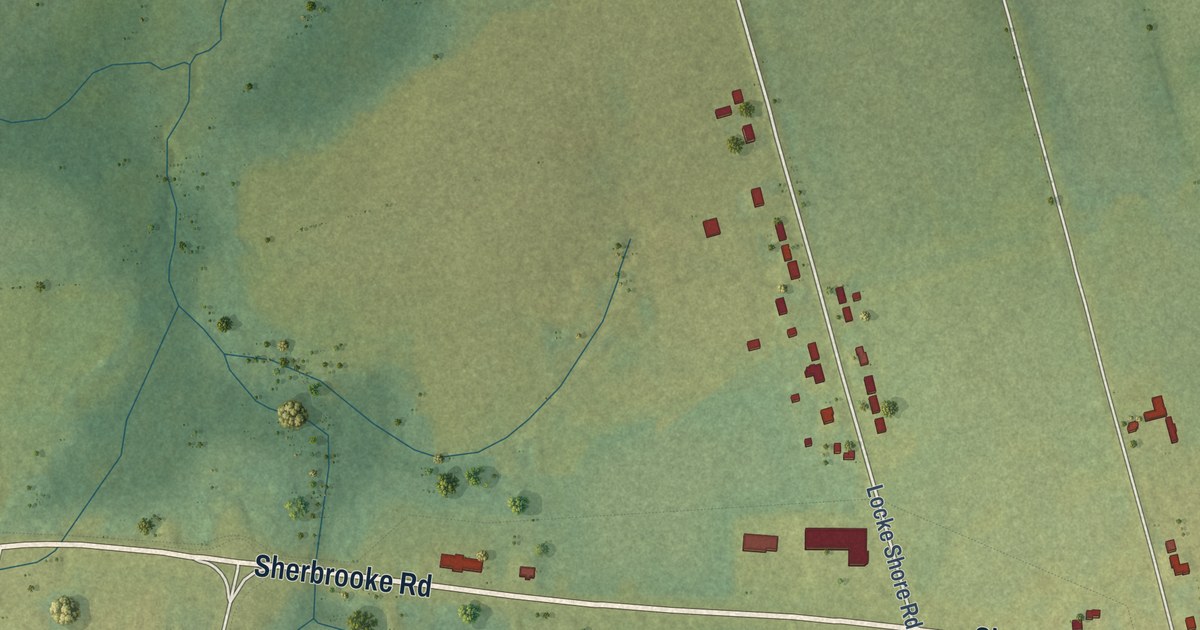
A detailed map of Sherbrooke, Prince Edward Island, showing every building in its true location, the roads by name, and shaded topographical relief.
Read More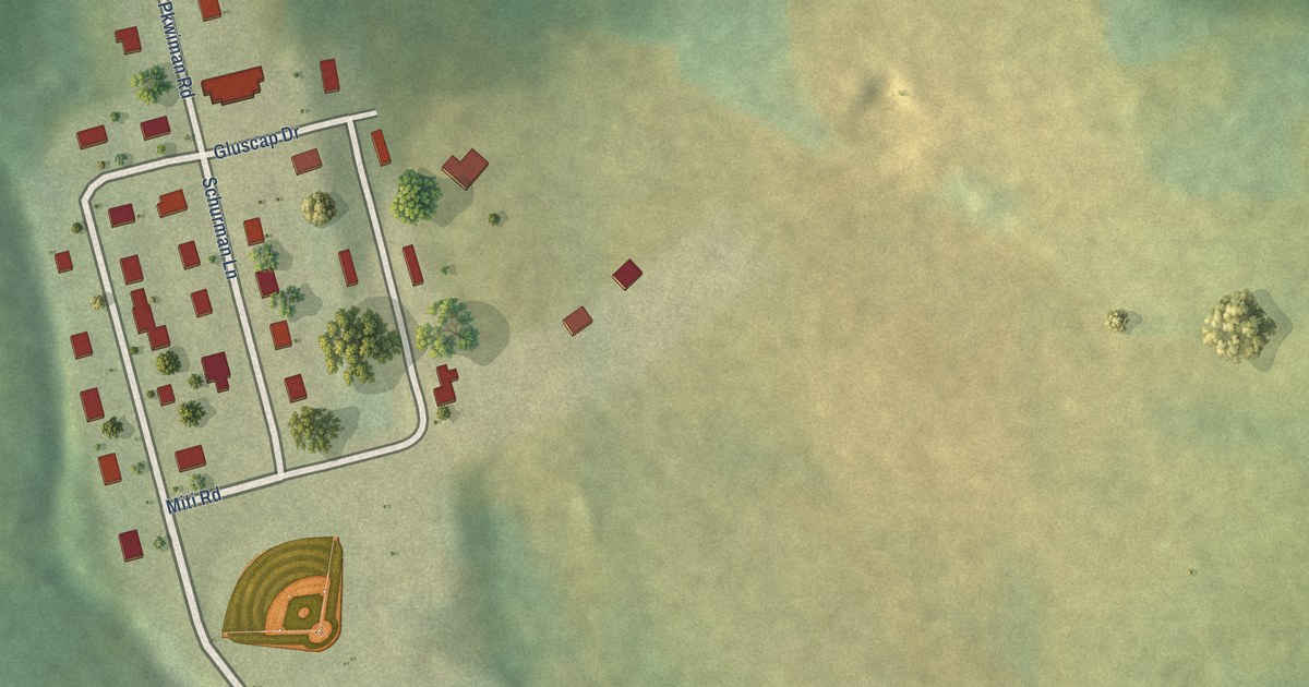
A detailed map of Scotchfort, Prince Edward Island, showing every building in its true location, the roads by name, and shaded topographical relief.
Read More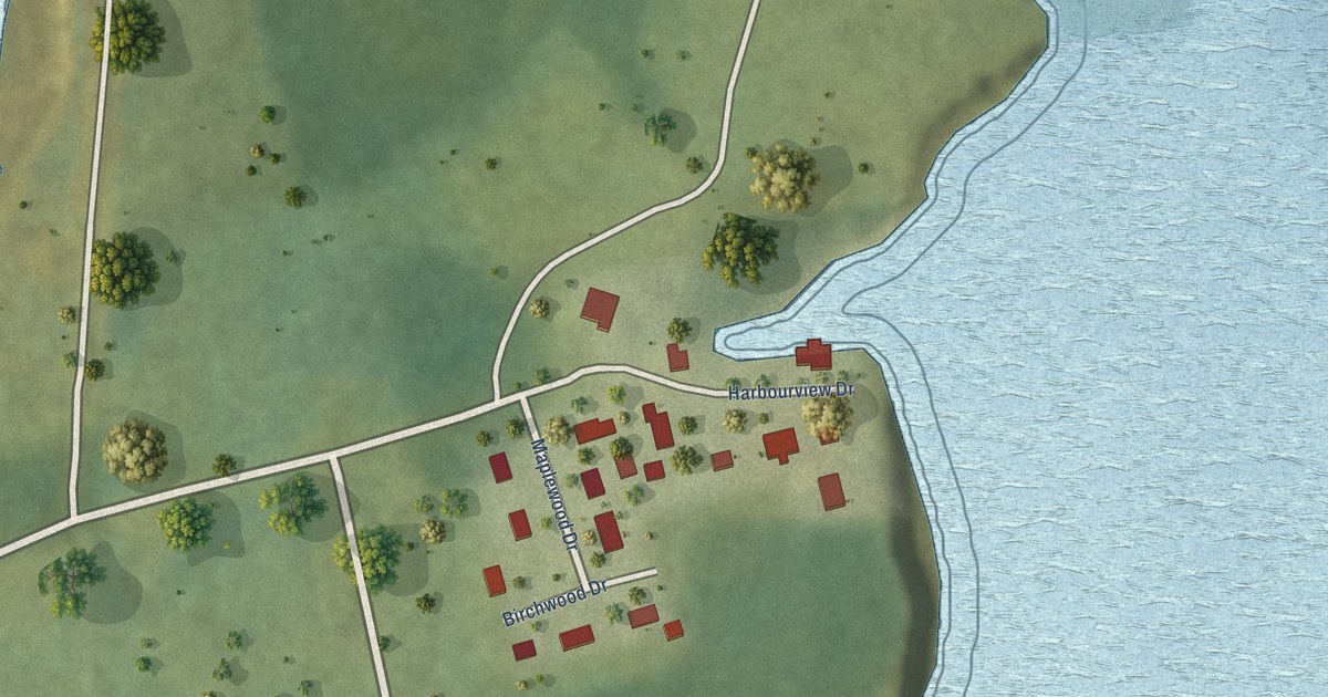
A detailed map of Rocky Point, Prince Edward Island, showing every building in its true location, the roads by name, and shaded topographical relief.
Read More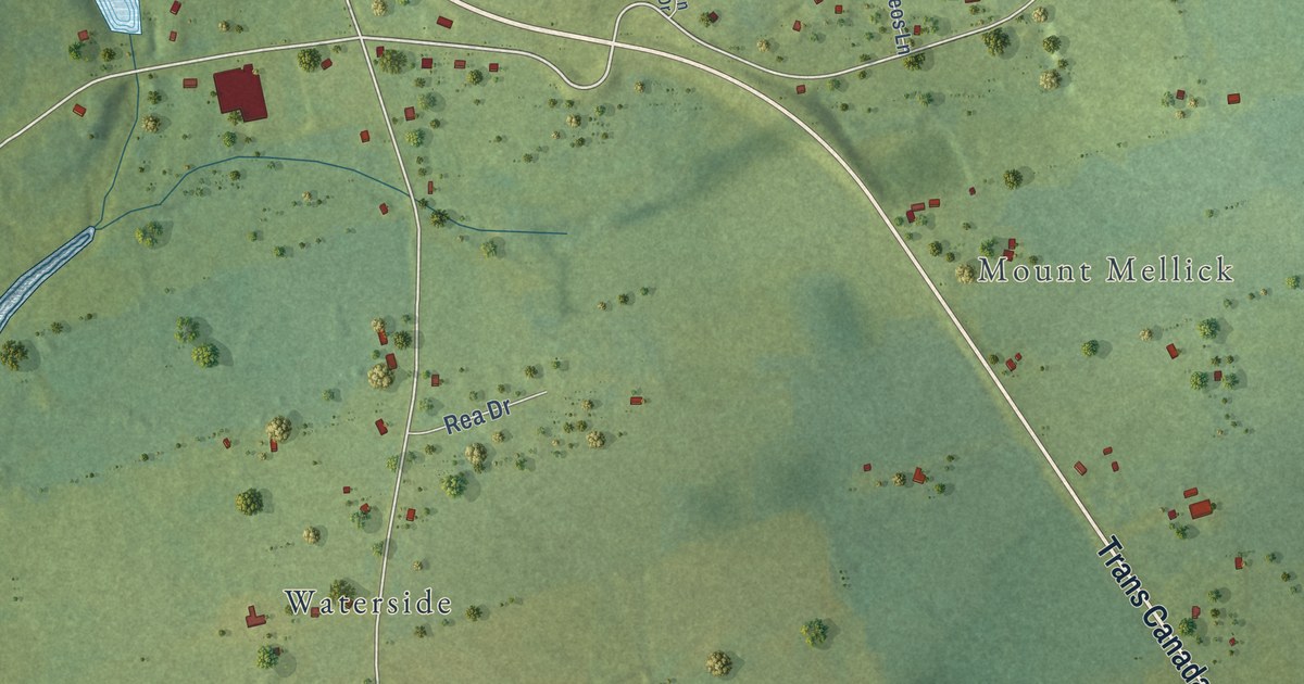
A detailed map of Pownal, Prince Edward Island, showing every building in its true location, the roads by name, and shaded topographical relief.
Read More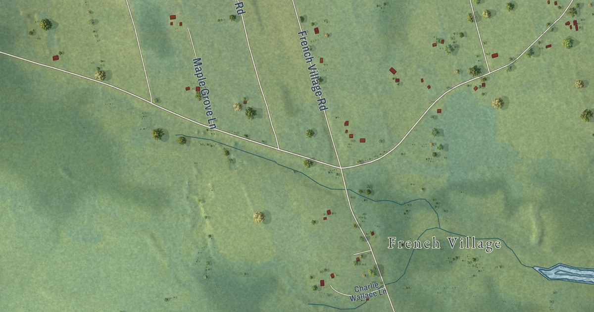
A detailed map of Point Deroche, Prince Edward Island, showing every building in its true location, the roads by name, and shaded topographical relief.
Read More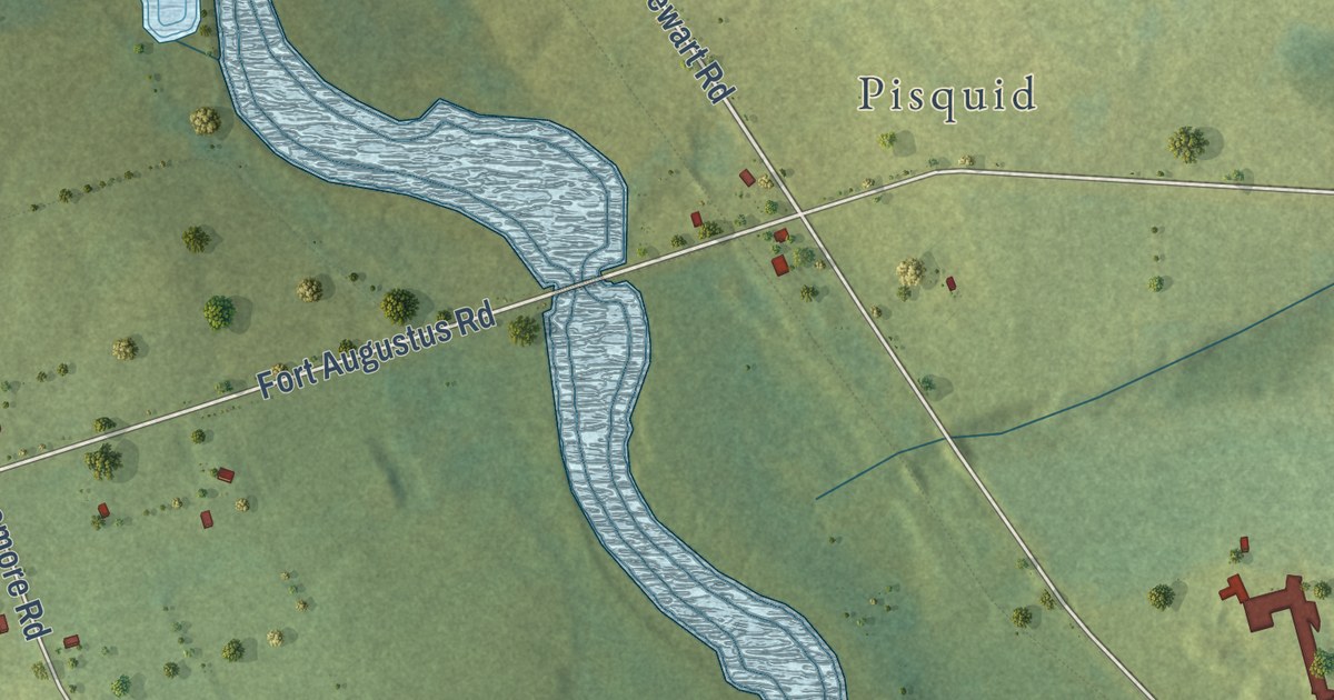
A detailed map of Pisquid West, Prince Edward Island, showing every building in its true location, the roads by name, and shaded topographical relief.
Read More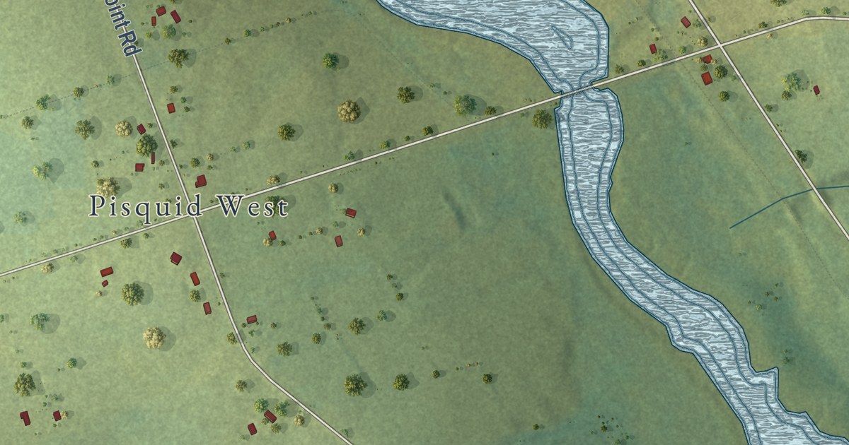
A detailed map of Pisquid, Prince Edward Island, showing every building in its true location, the roads by name, and shaded topographical relief.
Read More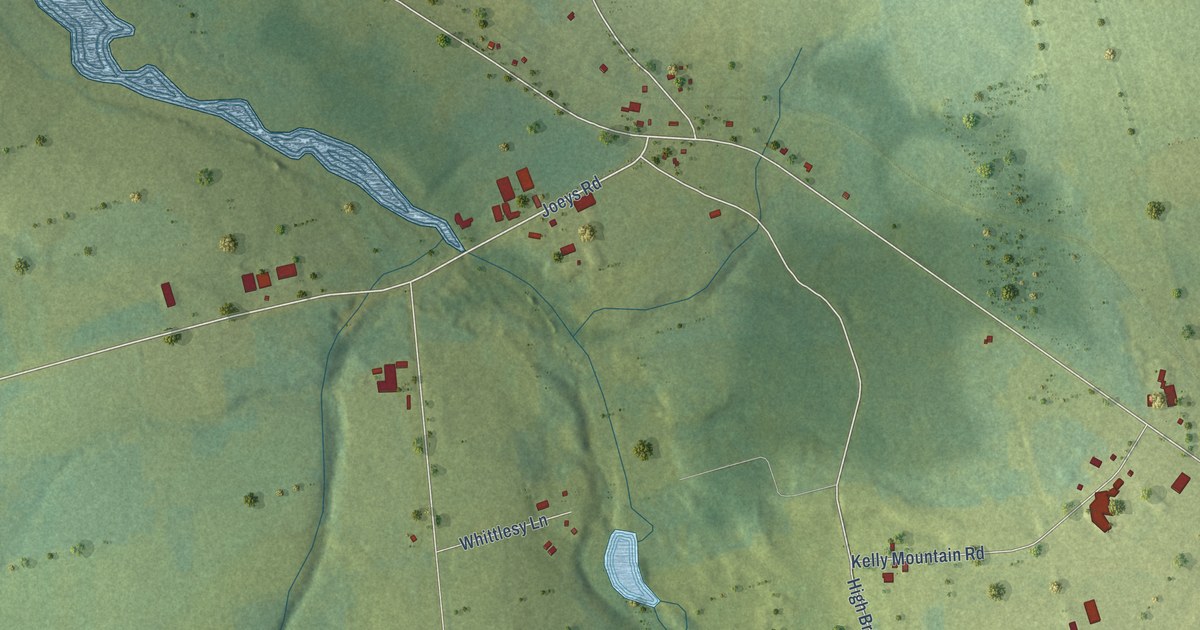
A detailed map of Pisquid East, Prince Edward Island, showing every building in its true location, the roads by name, and shaded topographical relief.
Read More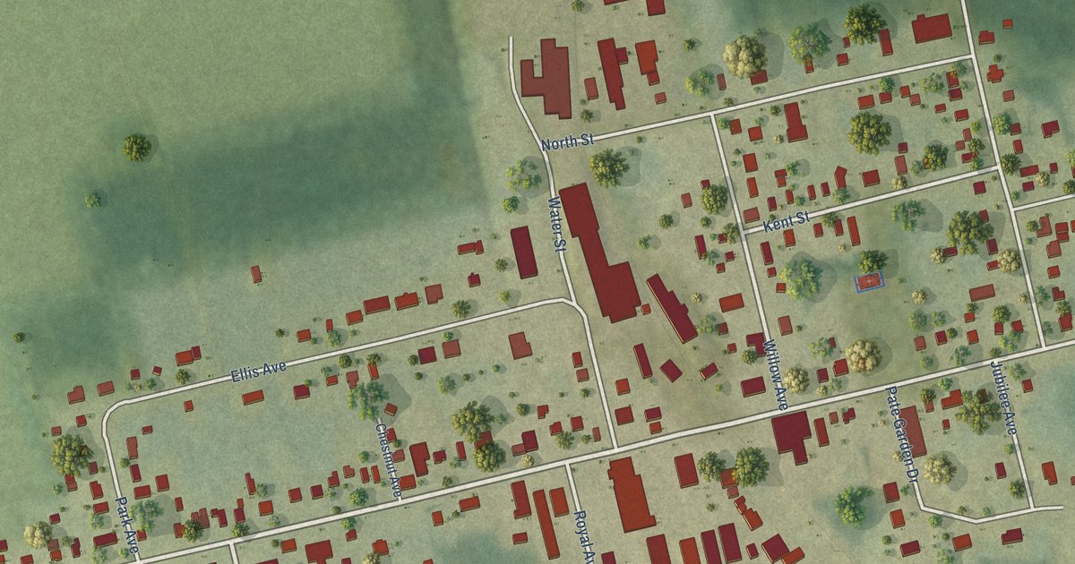
A detailed map of O’Leary, Prince Edward Island, showing every building in its true location, the roads by name, and shaded topographical relief.
Read More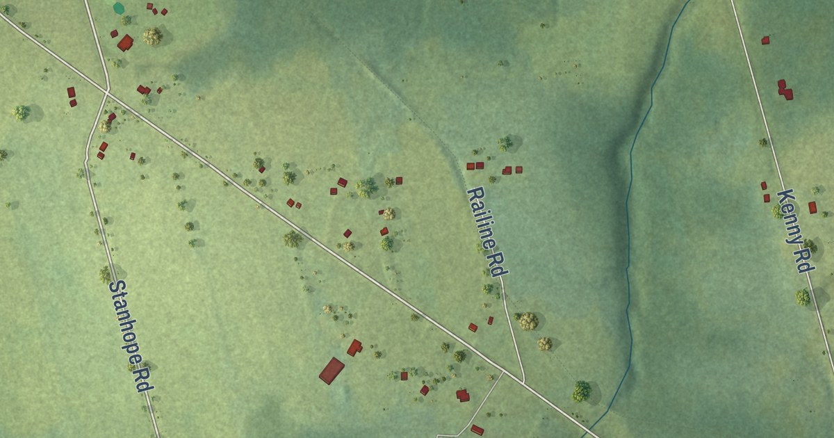
A detailed map of Peakes, Prince Edward Island, showing every building in its true location, the roads by name, and shaded topographical relief.
Read More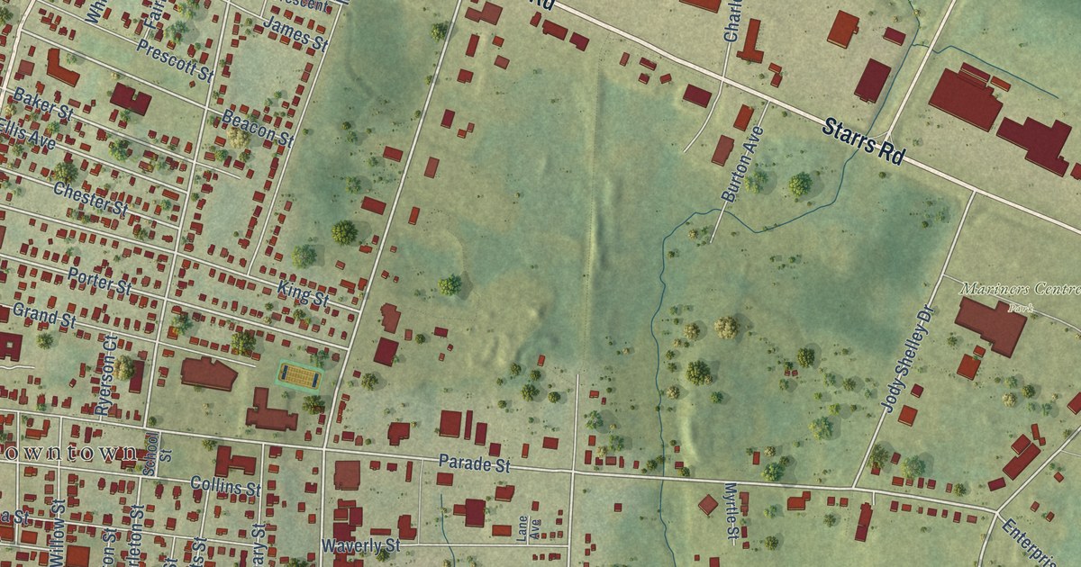
A detailed map of Yarmouth, Nova Scotia, showing every building in its true location, the roads by name, and shaded topographical relief.
Read More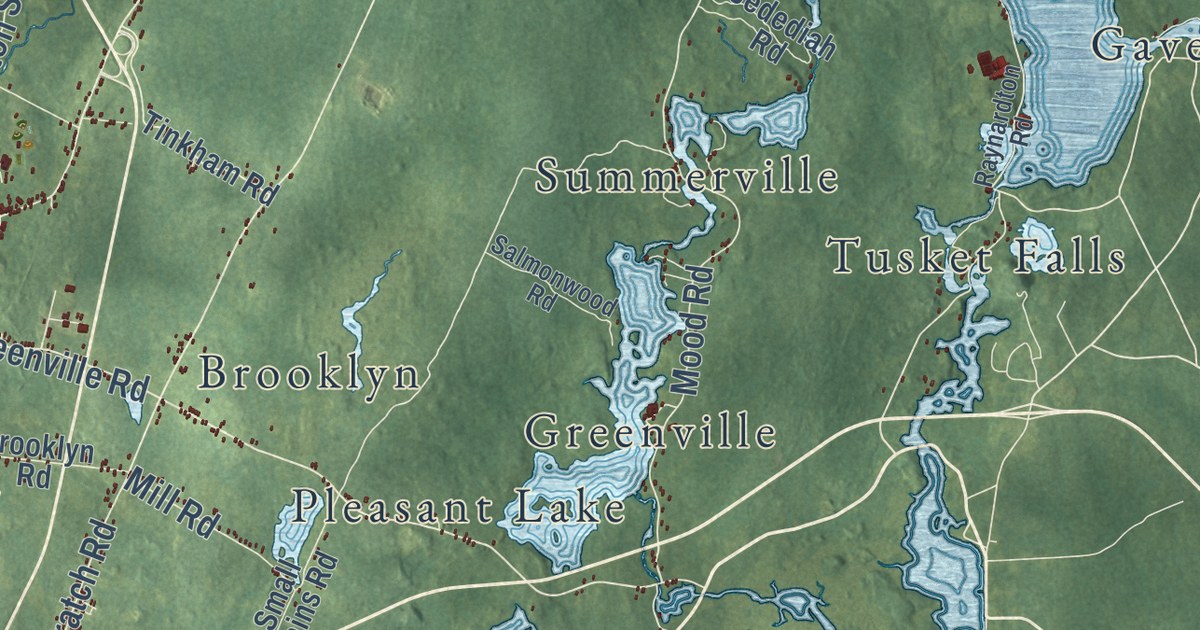
A detailed map of District of Yarmouth, Nova Scotia, showing every building in its true location, the roads by name, and shaded topographical relief.
Read More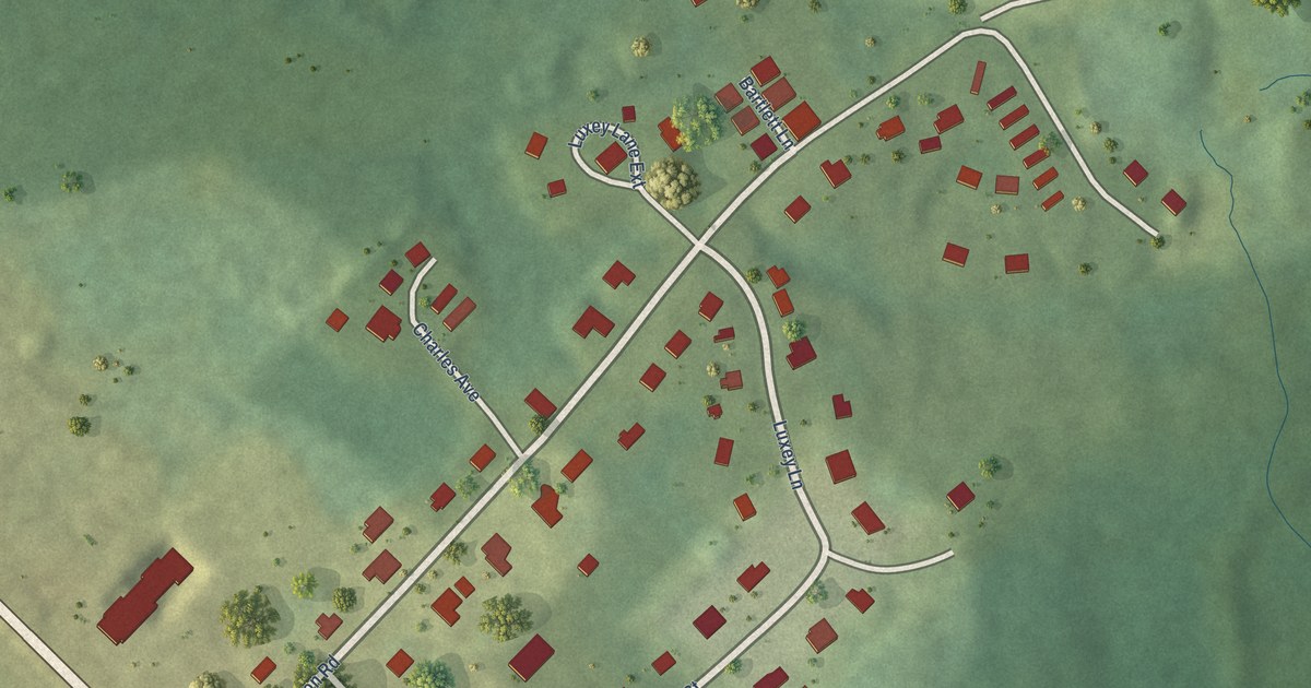
A detailed map of Wasoqopa’q, Nova Scotia, showing every building in its true location, the roads by name, and shaded topographical relief.
Read More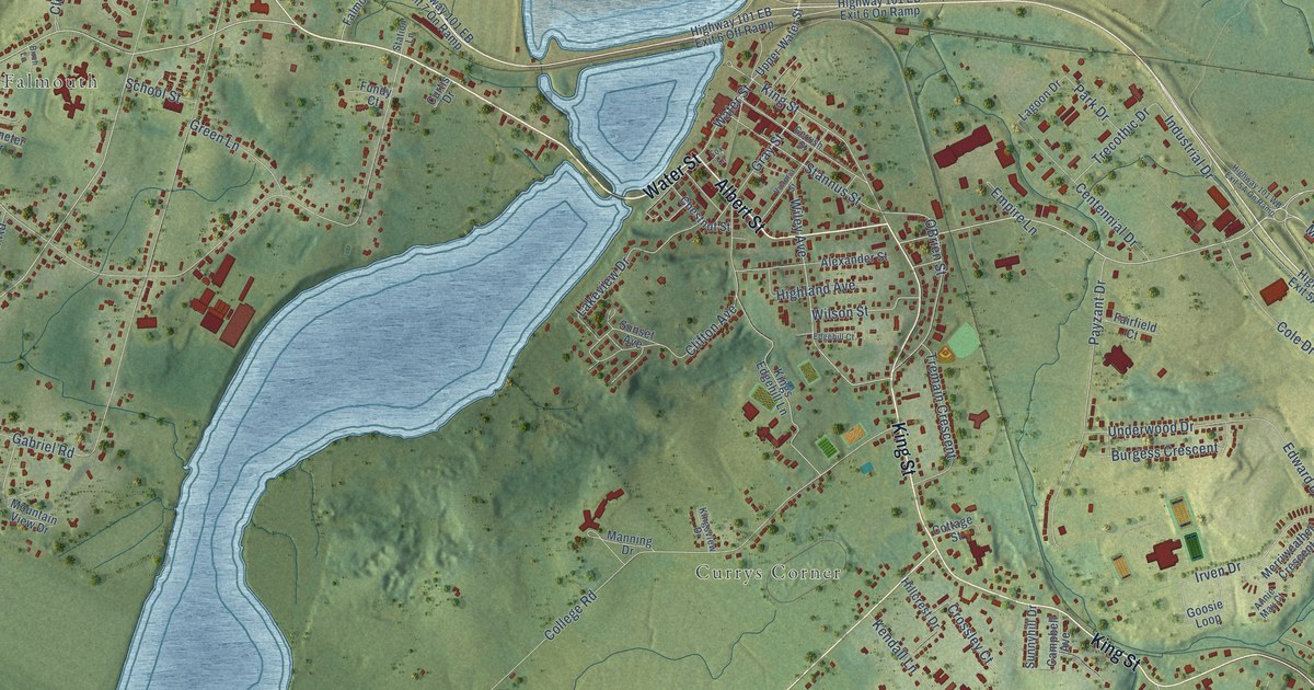
A detailed map of Windsor, Nova Scotia, showing every building in its true location, the roads by name, and shaded topographical relief.
Read More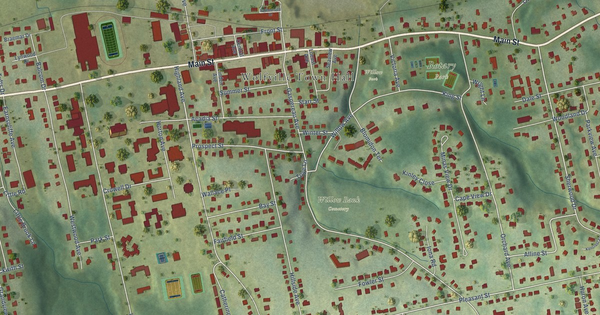
A detailed map of Wolfville, Nova Scotia, showing every building in its true location, the roads by name, and shaded topographical relief.
Read More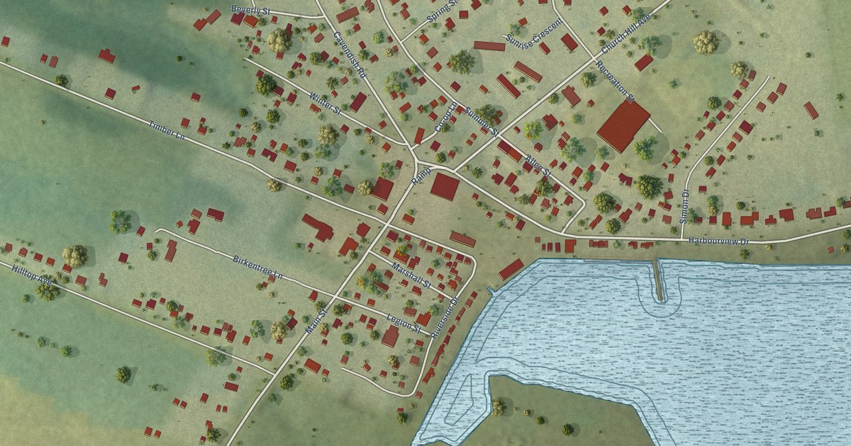
A detailed map of North Rustico, Prince Edward Island, showing every building in its true location, the roads by name, and shaded topographical relief.
Read More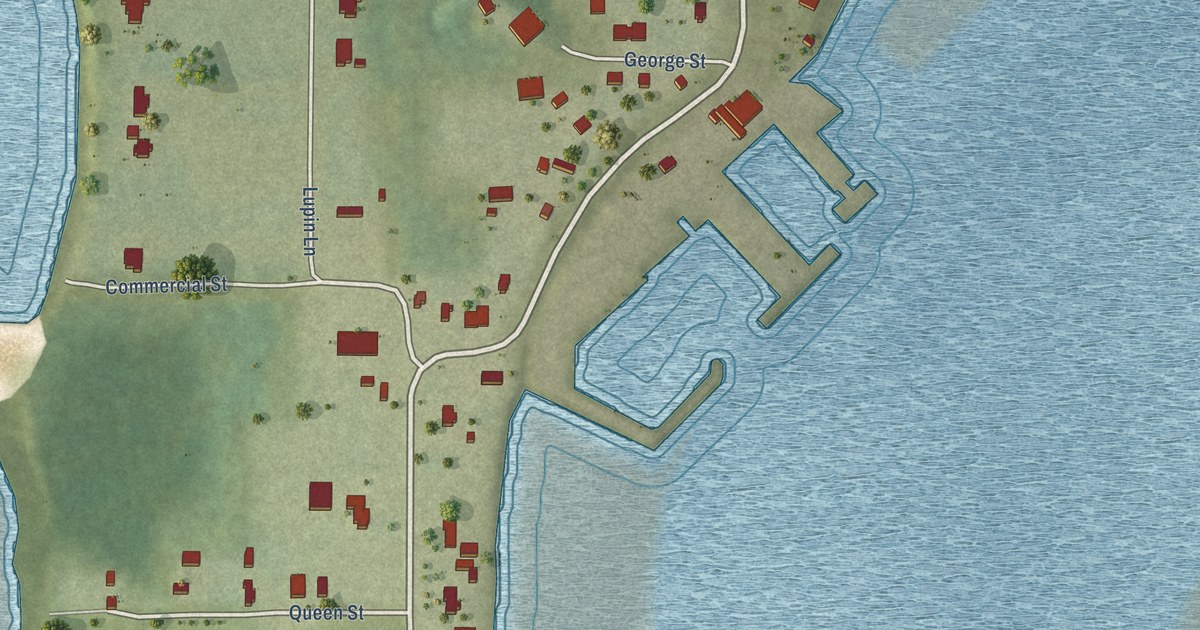
A detailed map of Northport, Prince Edward Island, showing every building in its true location, the roads by name, and shaded topographical relief.
Read More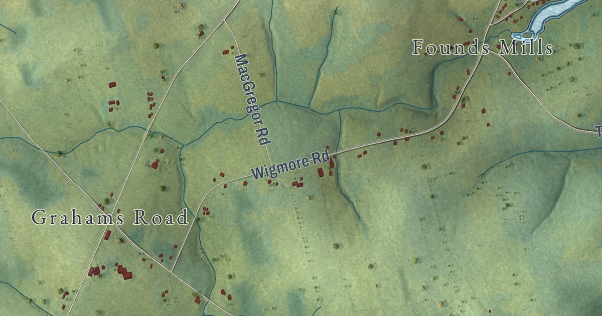
A detailed map of New London, Prince Edward Island, showing every building in its true location, the roads by name, and shaded topographical relief.
Read More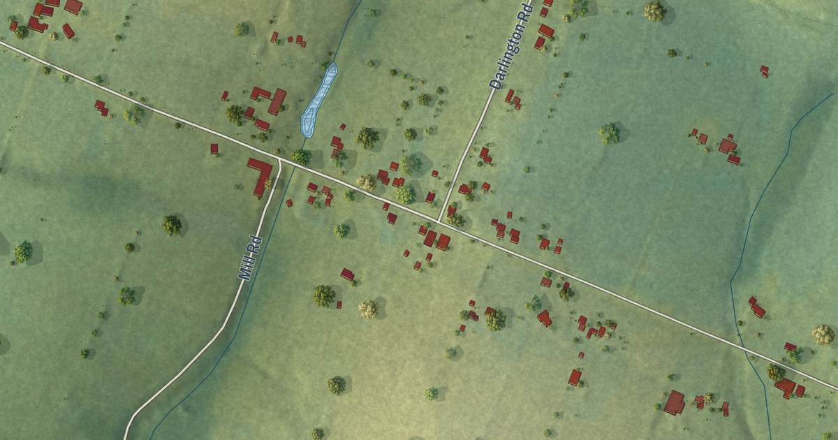
A detailed map of North Wiltshire, Prince Edward Island, showing every building in its true location, the roads by name, and shaded topographical relief.
Read More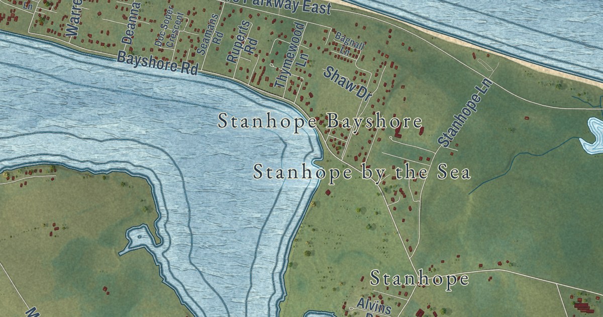
A detailed map of North Shore, Prince Edward Island, showing every building in its true location, the roads by name, and shaded topographical relief.
Read More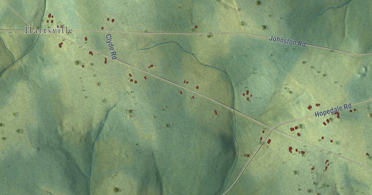
A detailed map of North River, Prince Edward Island, showing every building in its true location, the roads by name, and shaded topographical relief.
Read More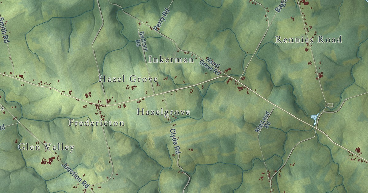
A detailed map of New Glasgow, Prince Edward Island, showing every building in its true location, the roads by name, and shaded topographical relief.
Read More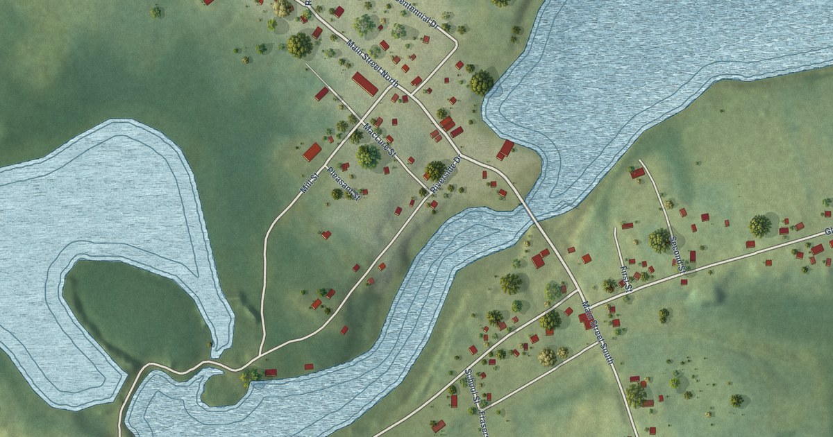
A detailed map of Murray River, Prince Edward Island, showing every building in its true location, the roads by name, and shaded topographical relief.
Read More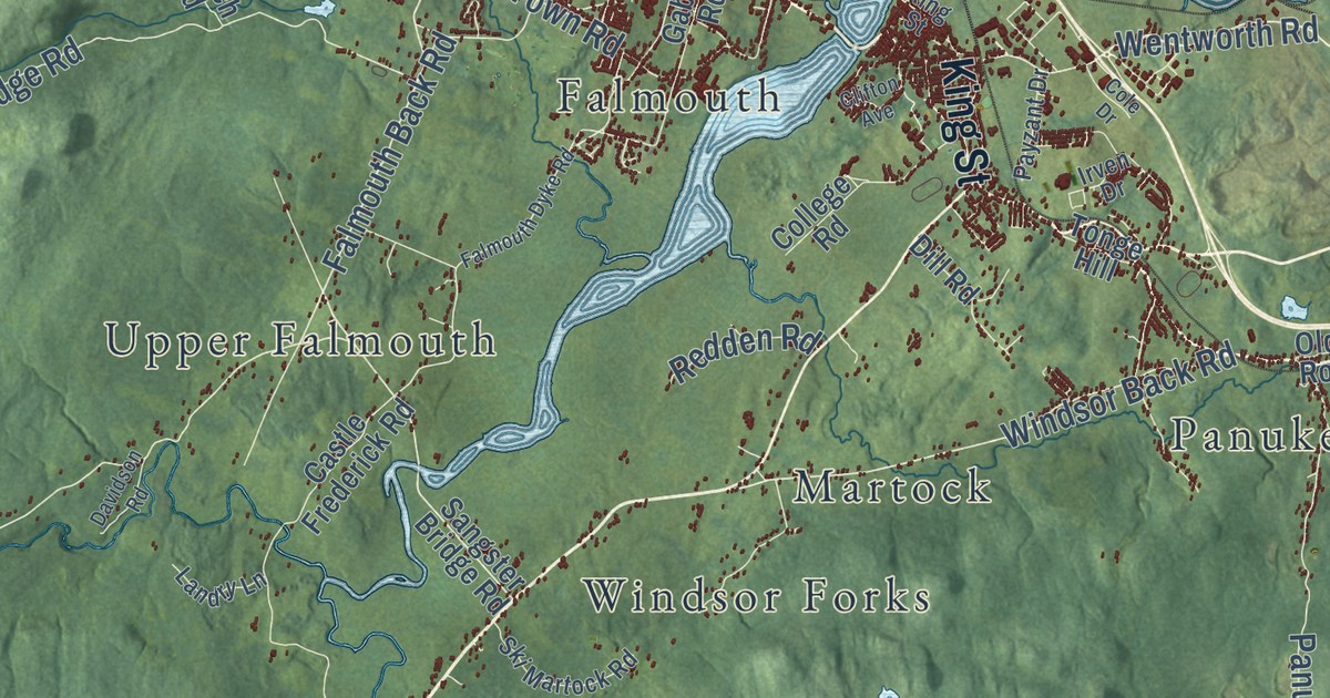
A detailed map of West Hants, Nova Scotia, showing every building in its true location, the roads by name, and shaded topographical relief.
Read More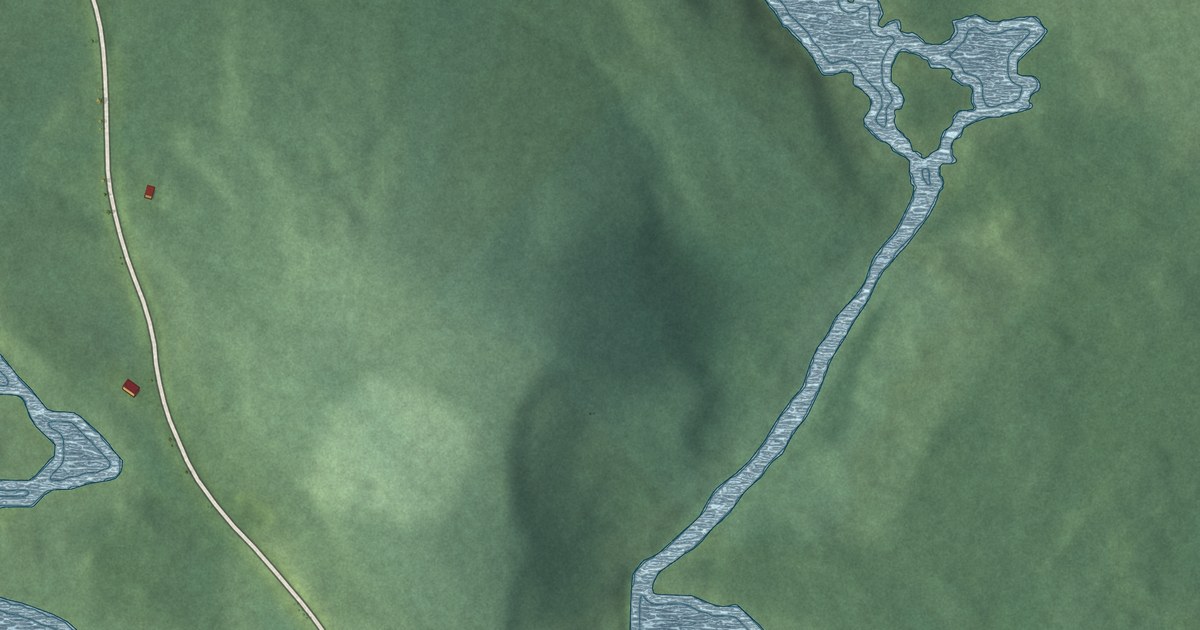
A detailed map of Wildcat, Nova Scotia, showing every building in its true location, the roads by name, and shaded topographical relief.
Read More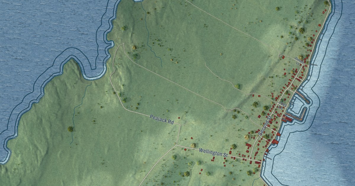
A detailed map of Westport, Nova Scotia, showing every building in its true location, the roads by name, and shaded topographical relief.
Read More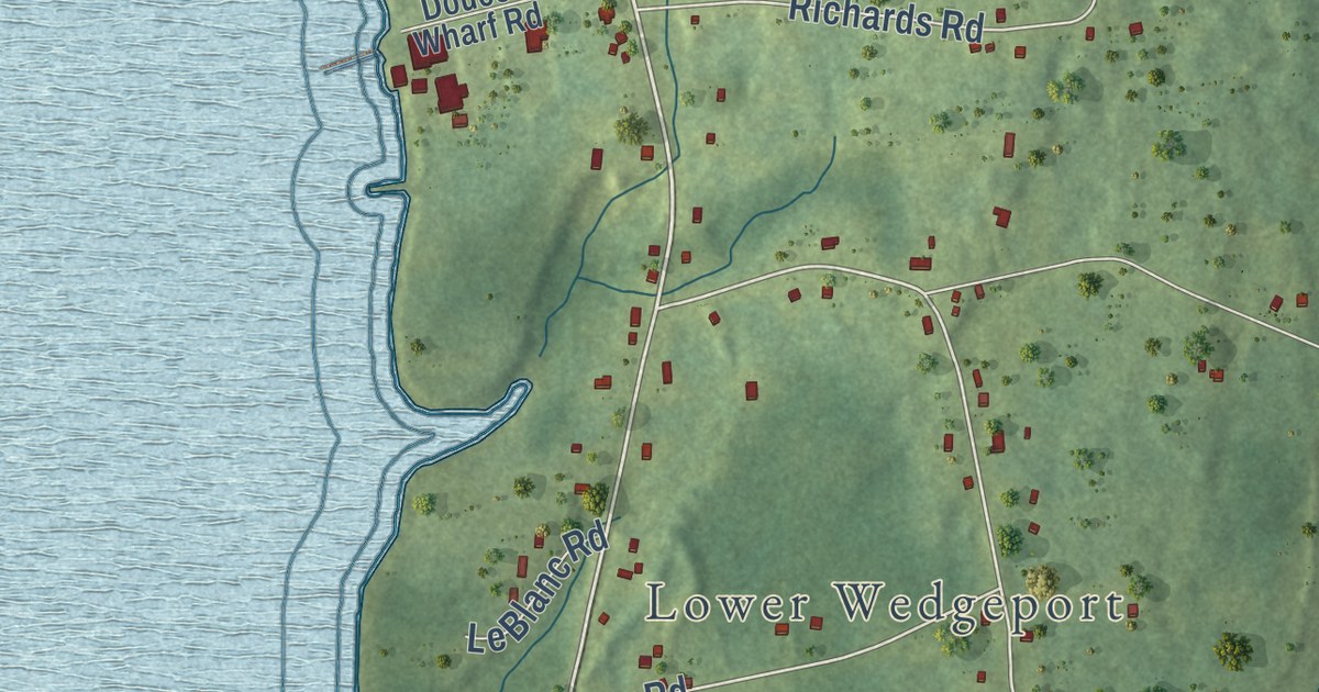
A detailed map of Wedgeport, Nova Scotia, showing every building in its true location, the roads by name, and shaded topographical relief.
Read More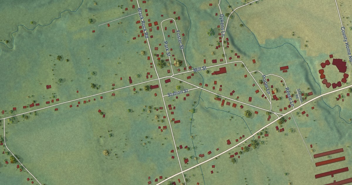
A detailed map of Waterville, Nova Scotia, showing every building in its true location, the roads by name, and shaded topographical relief.
Read More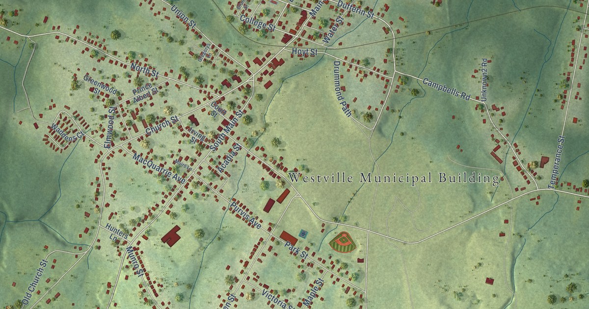
A detailed map of Westville, Nova Scotia, showing every building in its true location, the roads by name, and shaded topographical relief.
Read More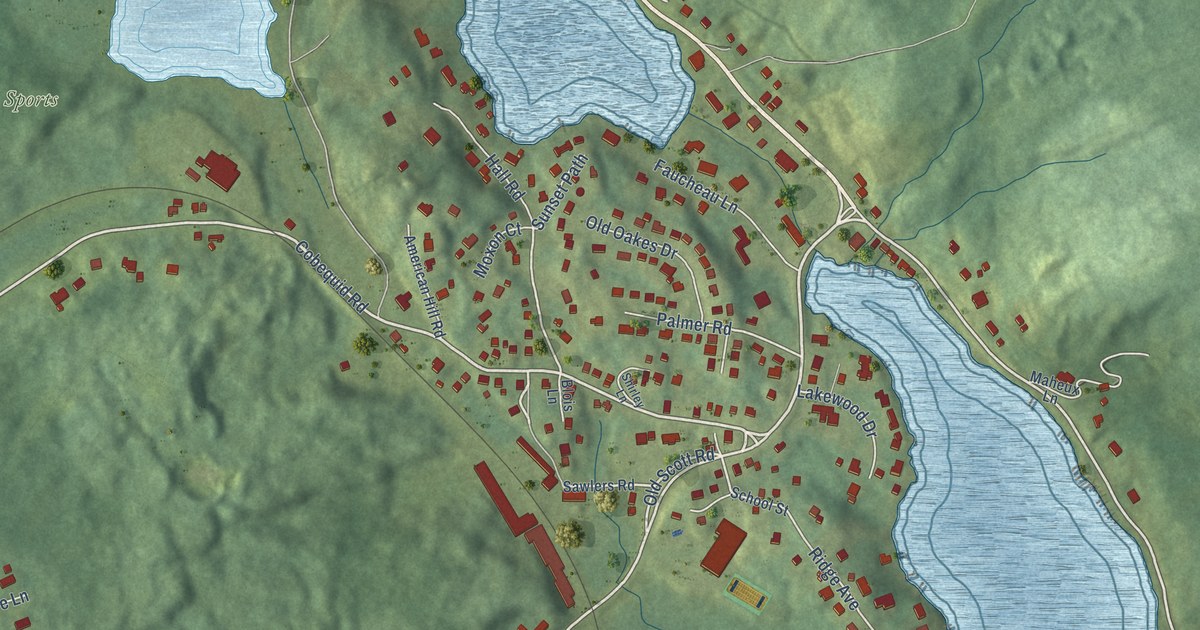
A detailed map of Waverley, Nova Scotia, showing every building in its true location, the roads by name, and shaded topographical relief.
Read More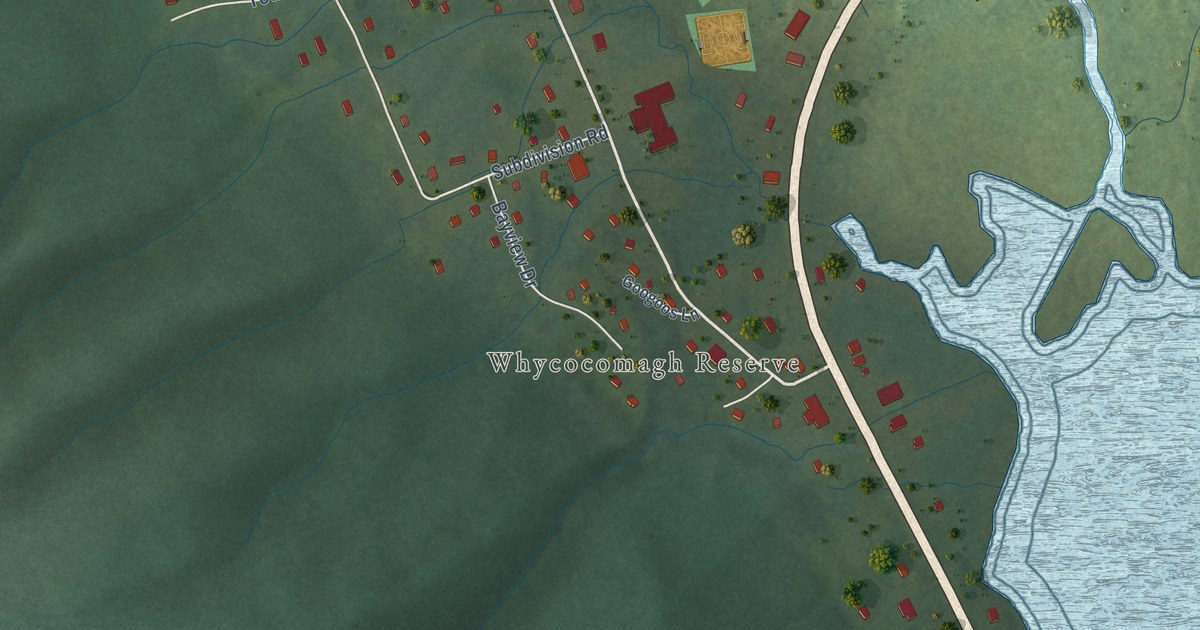
A detailed map of We’koqma’q, Nova Scotia, showing every building in its true location, the roads by name, and shaded topographical relief.
Read More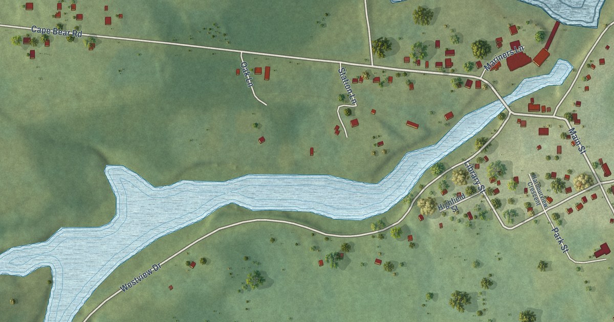
A detailed map of Murray Harbour, Prince Edward Island, showing every building in its true location, the roads by name, and shaded topographical relief.
Read More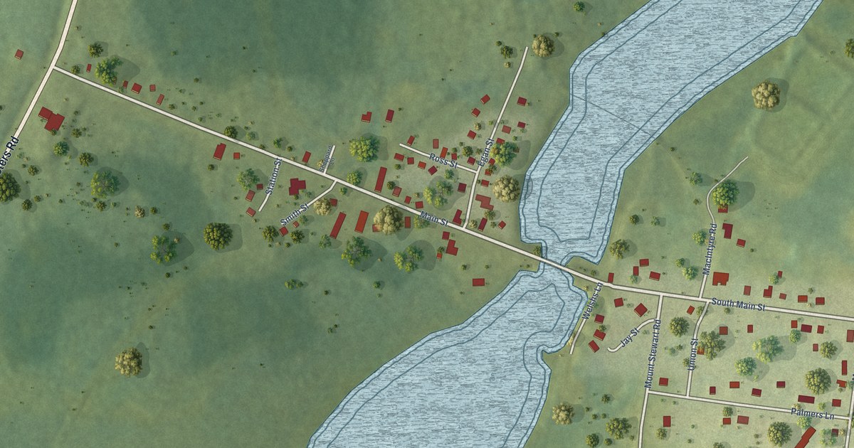
A detailed map of Mount Stewart, Prince Edward Island, showing every building in its true location, the roads by name, and shaded topographical relief.
Read More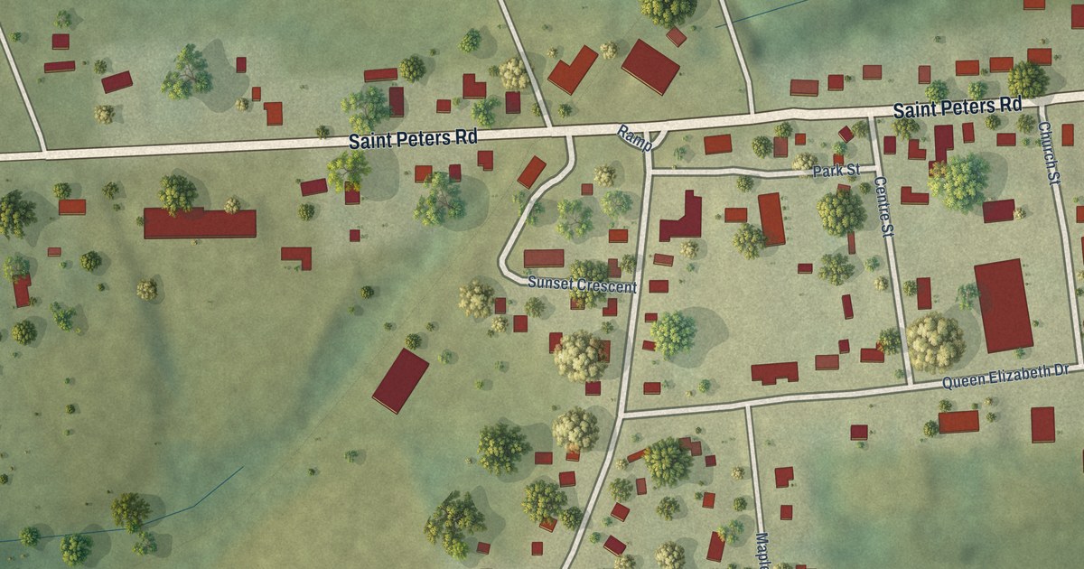
A detailed map of Morell, Prince Edward Island, showing every building in its true location, the roads by name, and shaded topographical relief.
Read More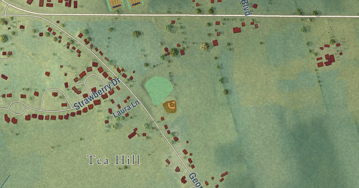
A detailed map of Mount Herbert, Prince Edward Island, showing every building in its true location, the roads by name, and shaded topographical relief.
Read More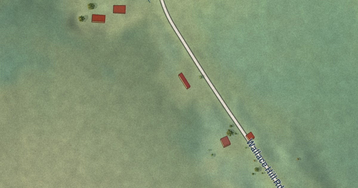
A detailed map of Wallace Hills, Nova Scotia, showing every building in its true location, the roads by name, and shaded topographical relief.
Read More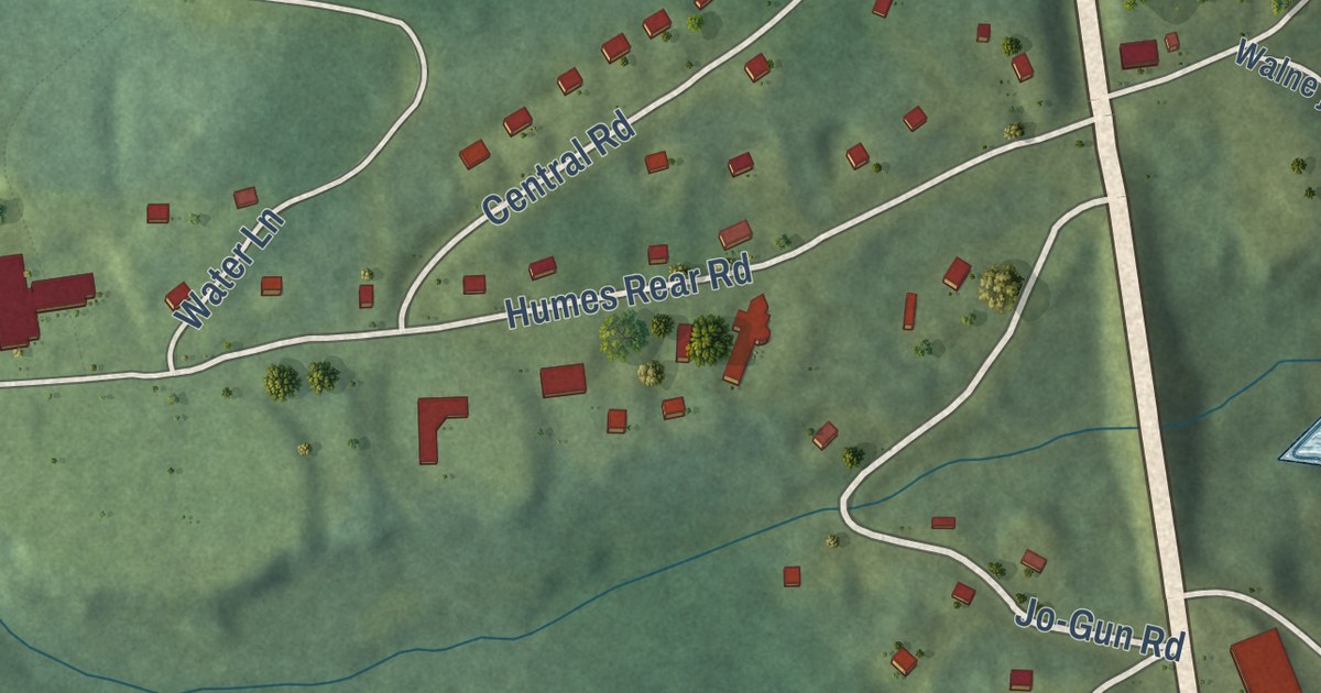
A detailed map of Wagmatcook, Nova Scotia, showing every building in its true location, the roads by name, and shaded topographical relief.
Read More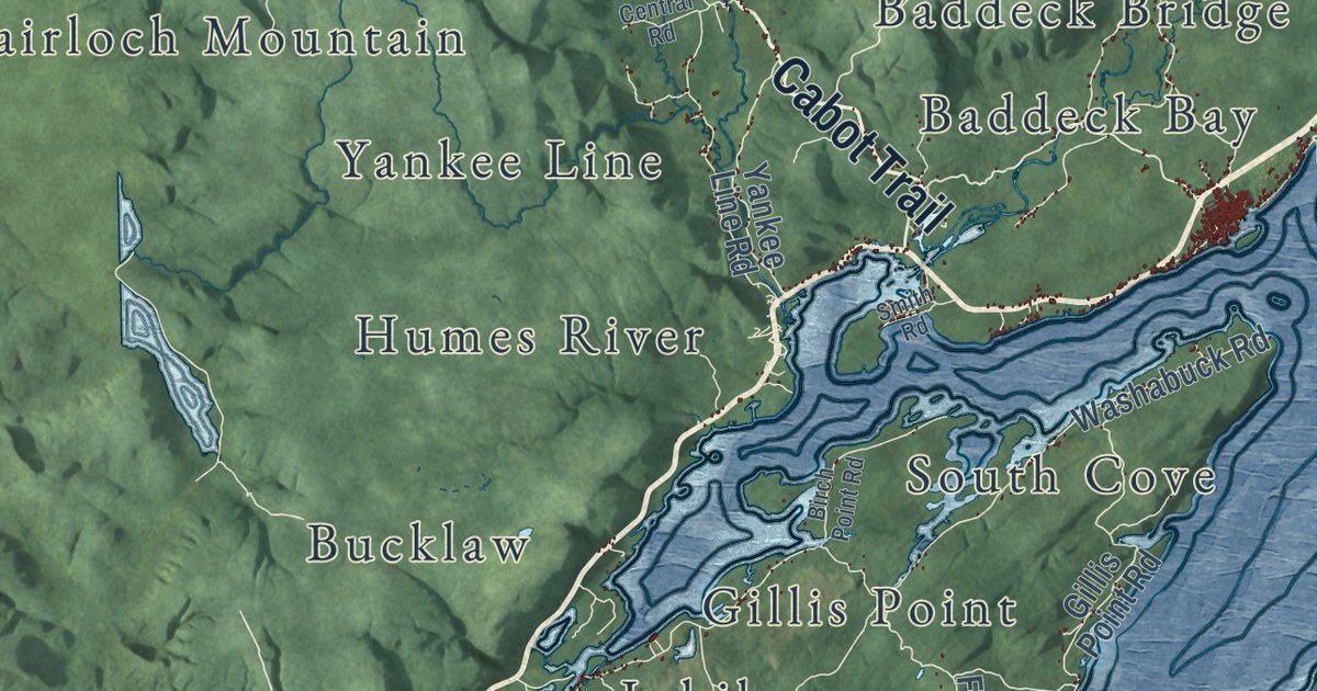
A detailed map of Victoria County, Nova Scotia, showing every building in its true location, the roads by name, and shaded topographical relief.
Read More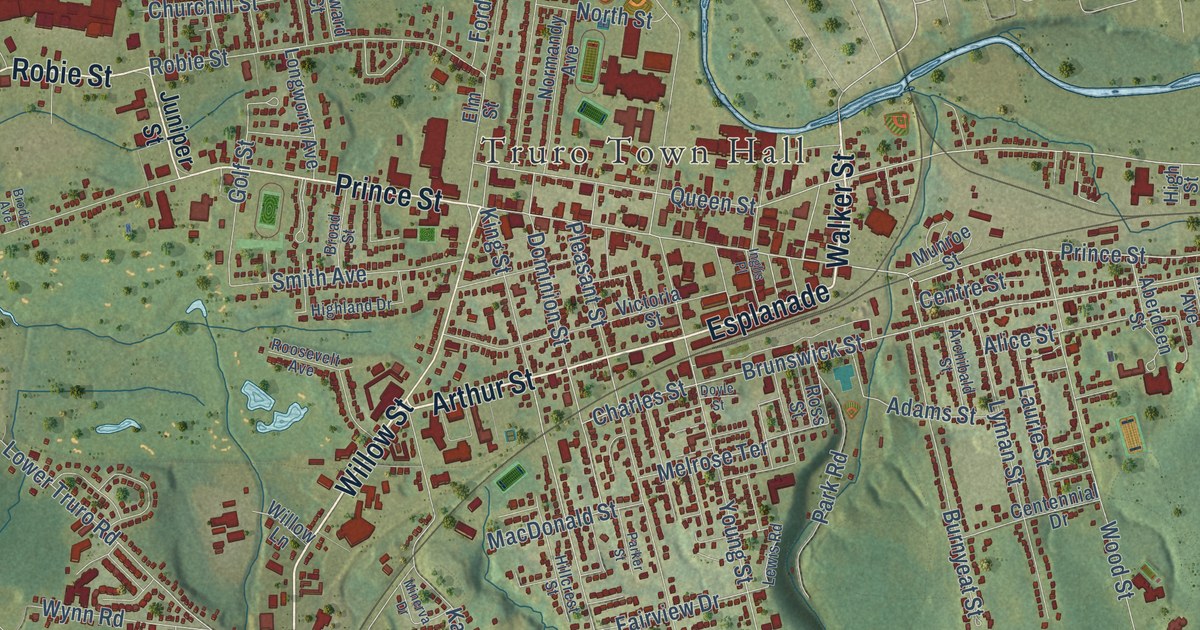
A detailed map of Truro, Nova Scotia, showing every building in its true location, the roads by name, and shaded topographical relief.
Read More
A detailed map of Morell (Abegweit First Nation), Prince Edward Island, showing every building in its true location, the roads by name, and shaded topographical relief.
Read More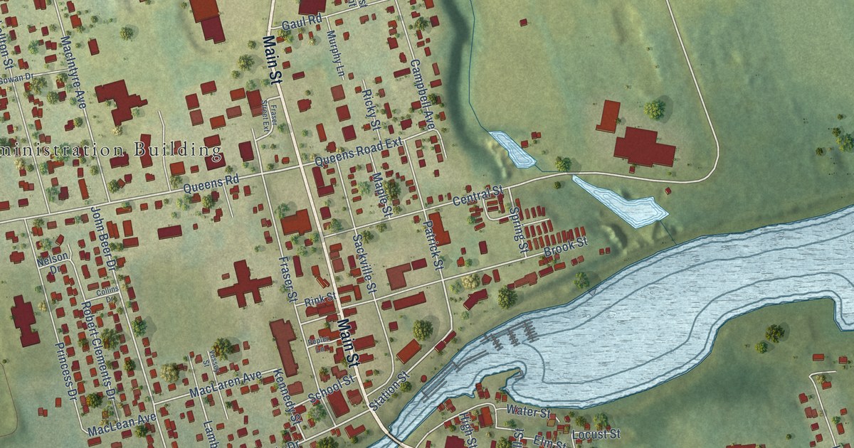
A detailed map of Montague, Prince Edward Island, showing every building in its true location, the roads by name, and shaded topographical relief.
Read More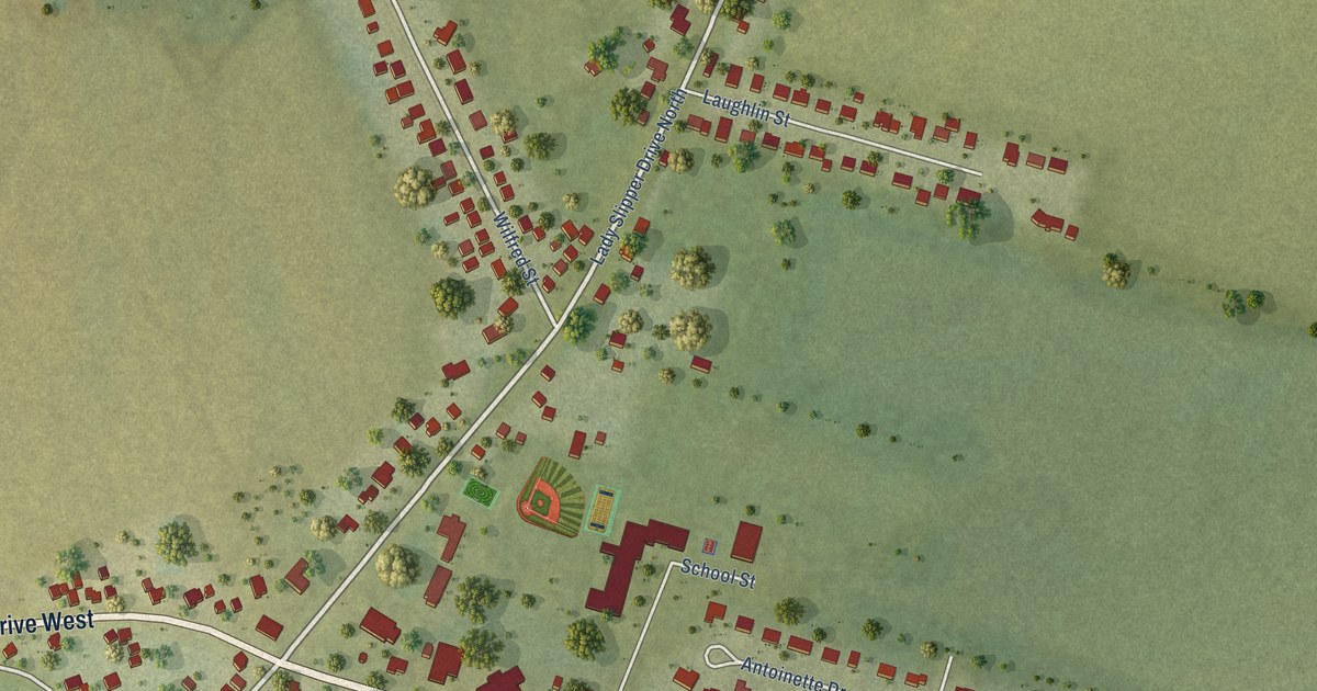
A detailed map of Miscouche, Prince Edward Island, showing every building in its true location, the roads by name, and shaded topographical relief.
Read More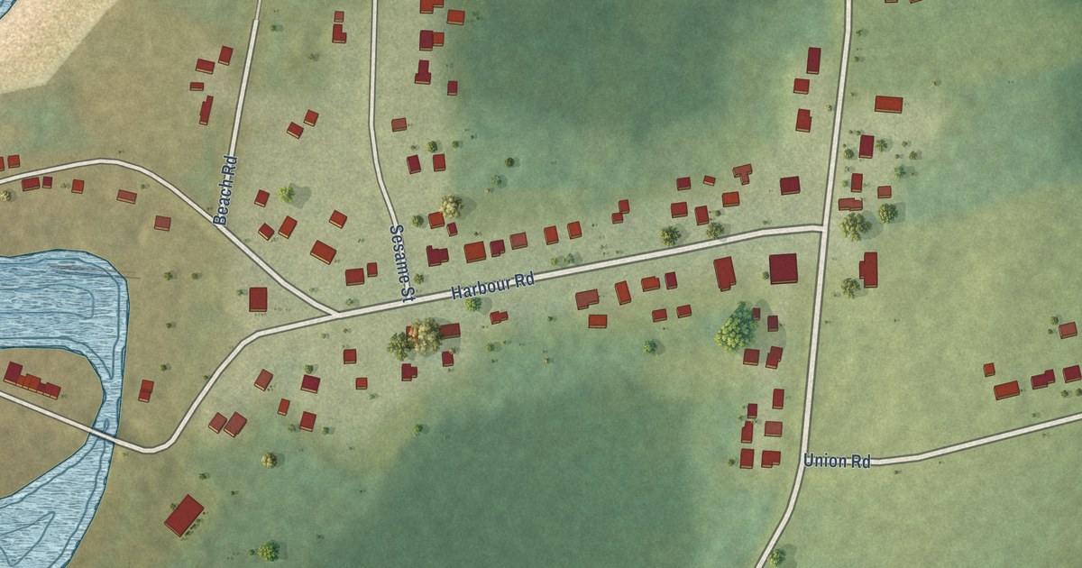
A detailed map of Miminegash, Prince Edward Island, showing every building in its true location, the roads by name, and shaded topographical relief.
Read More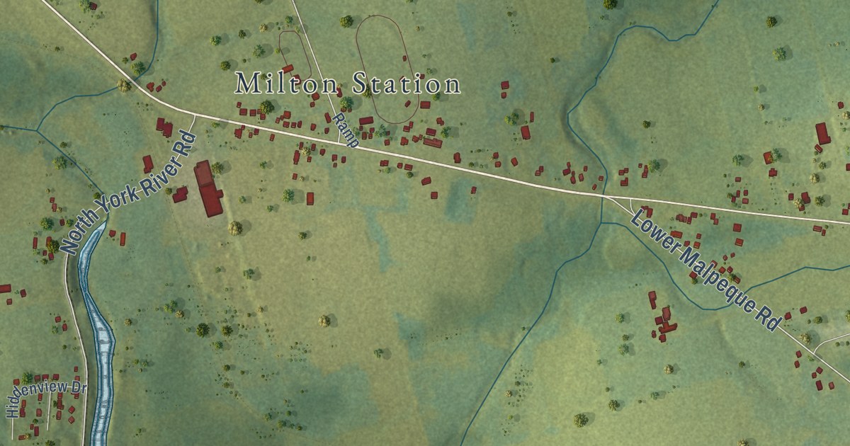
A detailed map of Miltonvale Park, Prince Edward Island, showing every building in its true location, the roads by name, and shaded topographical relief.
Read More















