Detailed Map of Mermaid, Prince Edward Island
A detailed map of Mermaid, Prince Edward Island, showing every building in its true location, the roads by name, and shaded topographical relief.
Read More
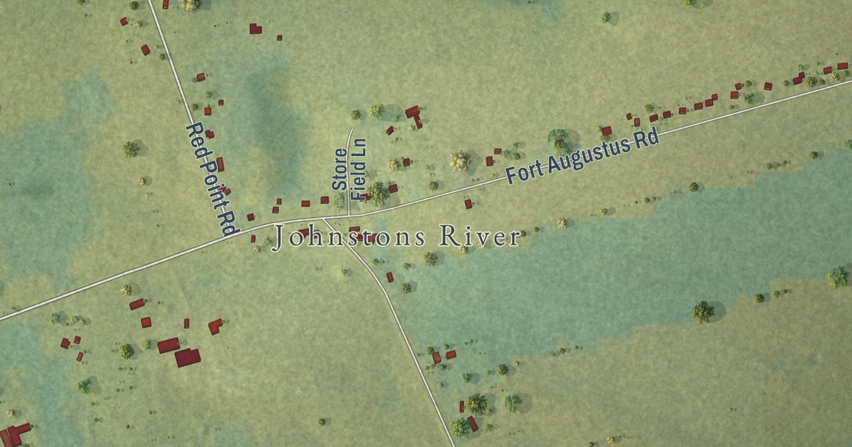
A detailed map of Mermaid, Prince Edward Island, showing every building in its true location, the roads by name, and shaded topographical relief.
Read More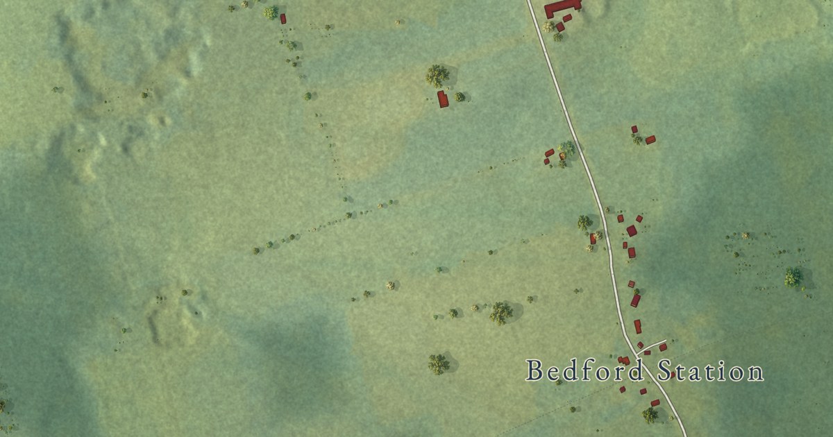
A detailed map of Millcove, Prince Edward Island, showing every building in its true location, the roads by name, and shaded topographical relief.
Read More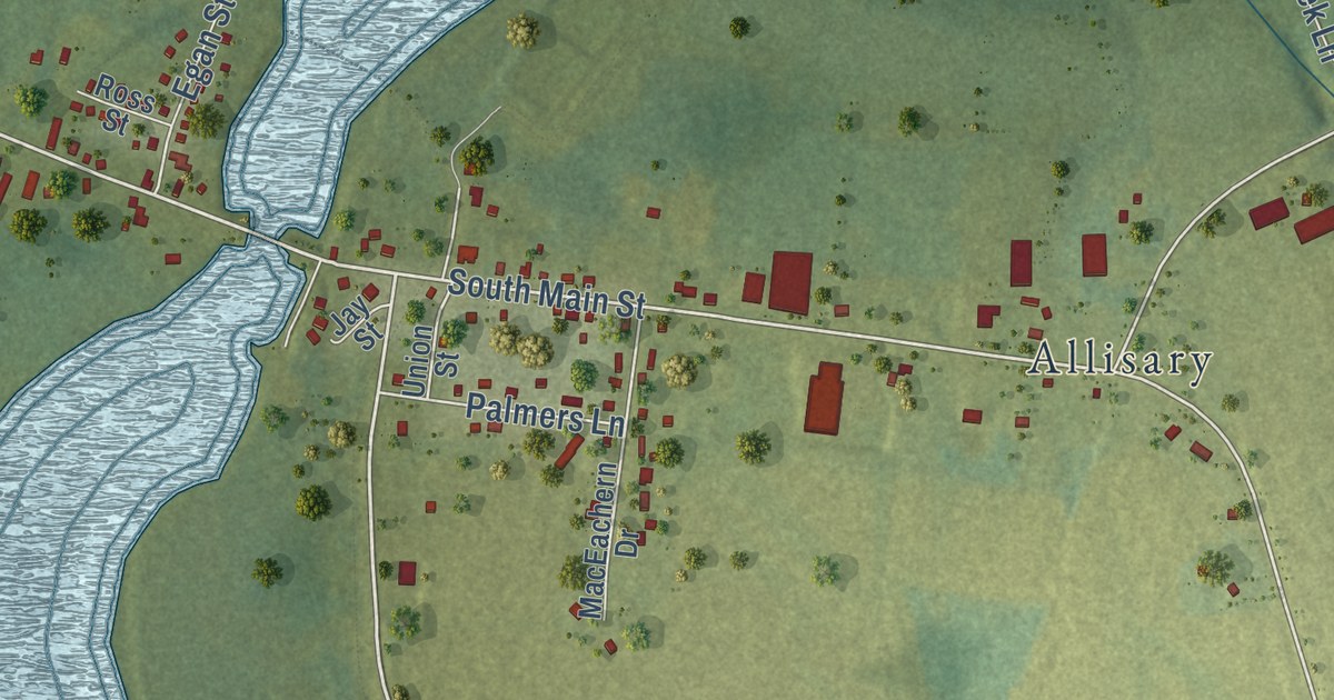
A detailed map of Maple Hill, Prince Edward Island, showing every building in its true location, the roads by name, and shaded topographical relief.
Read More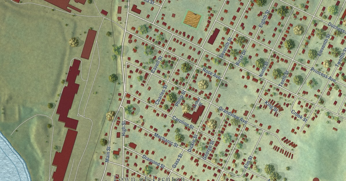
A detailed map of Trenton, Nova Scotia, showing every building in its true location, the roads by name, and shaded topographical relief.
Read More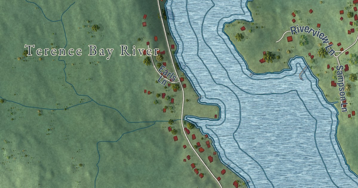
A detailed map of Terence Bay, Nova Scotia, showing every building in its true location, the roads by name, and shaded topographical relief.
Read More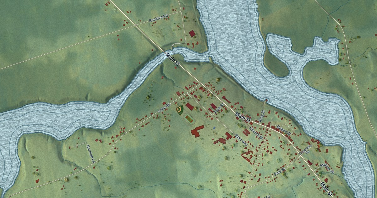
A detailed map of Tatamagouche, Nova Scotia, showing every building in its true location, the roads by name, and shaded topographical relief.
Read More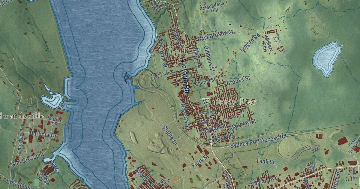
A detailed map of Sydney, Nova Scotia, showing every building in its true location, the roads by name, and shaded topographical relief.
Read More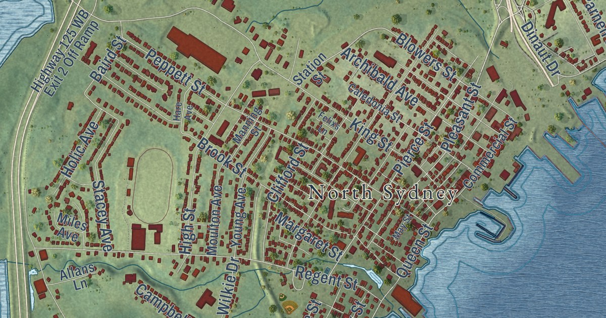
A detailed map of Sydney Mines, Nova Scotia, showing every building in its true location, the roads by name, and shaded topographical relief.
Read More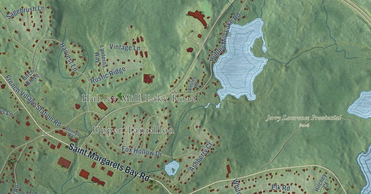
A detailed map of Stillwater Lake, Nova Scotia, showing every building in its true location, the roads by name, and shaded topographical relief.
Read More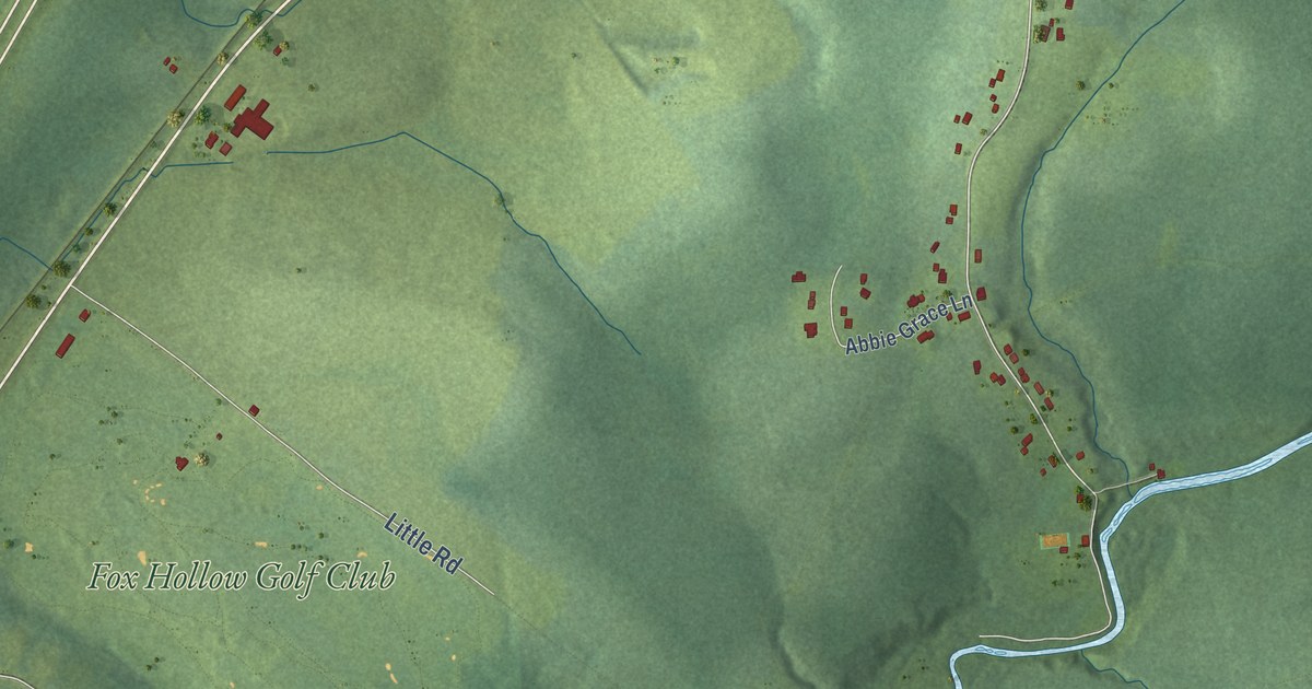
A detailed map of Stewiacke, Nova Scotia, showing every building in its true location, the roads by name, and shaded topographical relief.
Read More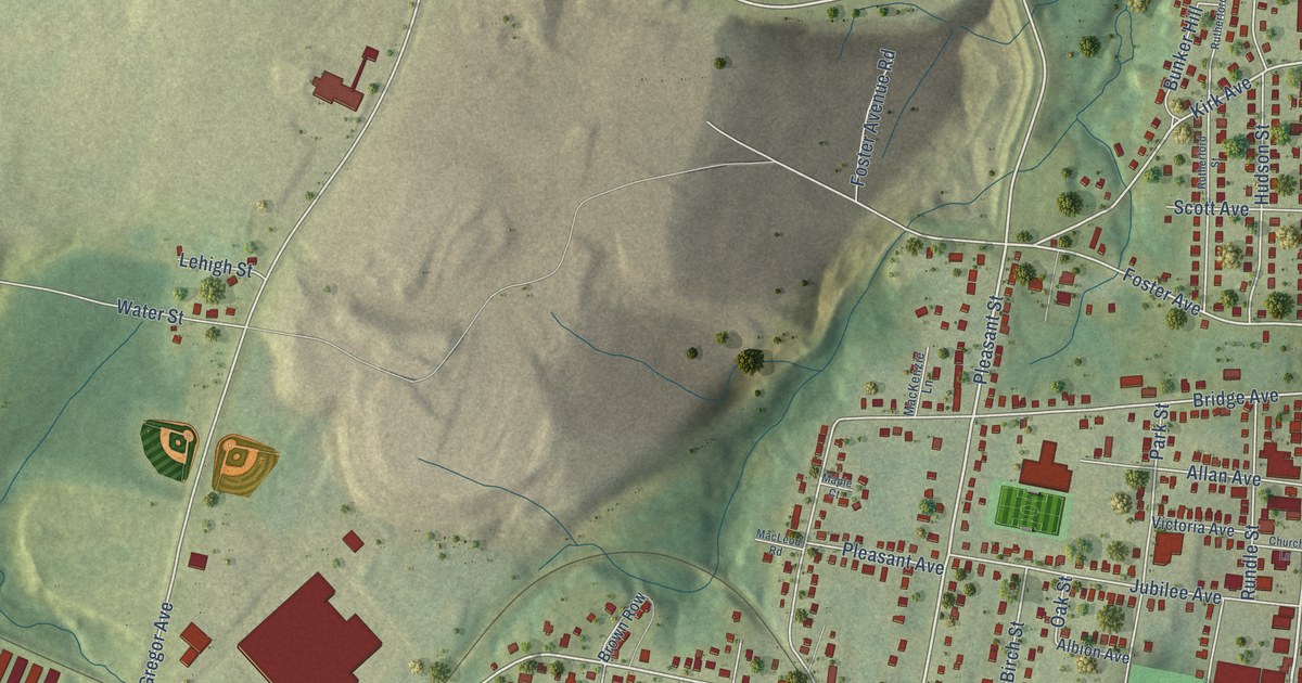
A detailed map of Stellarton, Nova Scotia, showing every building in its true location, the roads by name, and shaded topographical relief.
Read More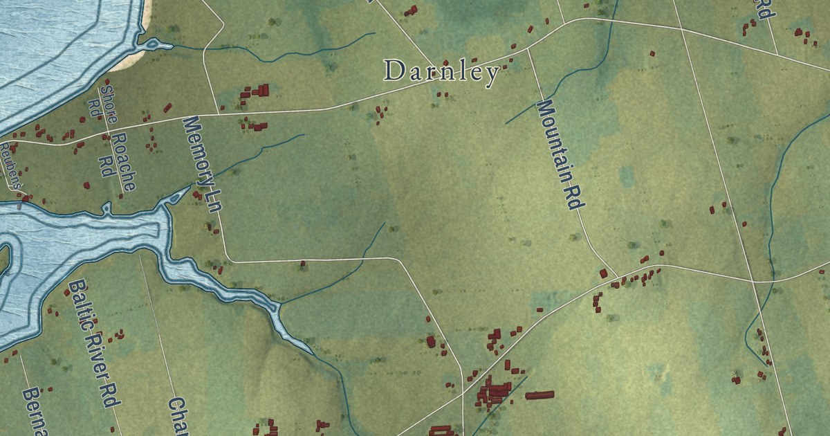
A detailed map of Malpeque Bay, Prince Edward Island, showing every building in its true location, the roads by name, and shaded topographical relief.
Read More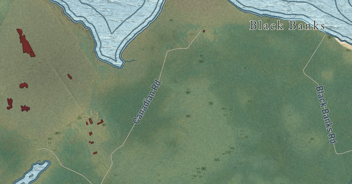
A detailed map of Lot 11 and Area, Prince Edward Island, showing every building in its true location, the roads by name, and shaded topographical relief.
Read More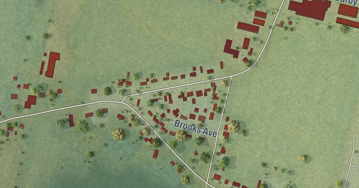
A detailed map of Linkletter, Prince Edward Island, showing every building in its true location, the roads by name, and shaded topographical relief.
Read More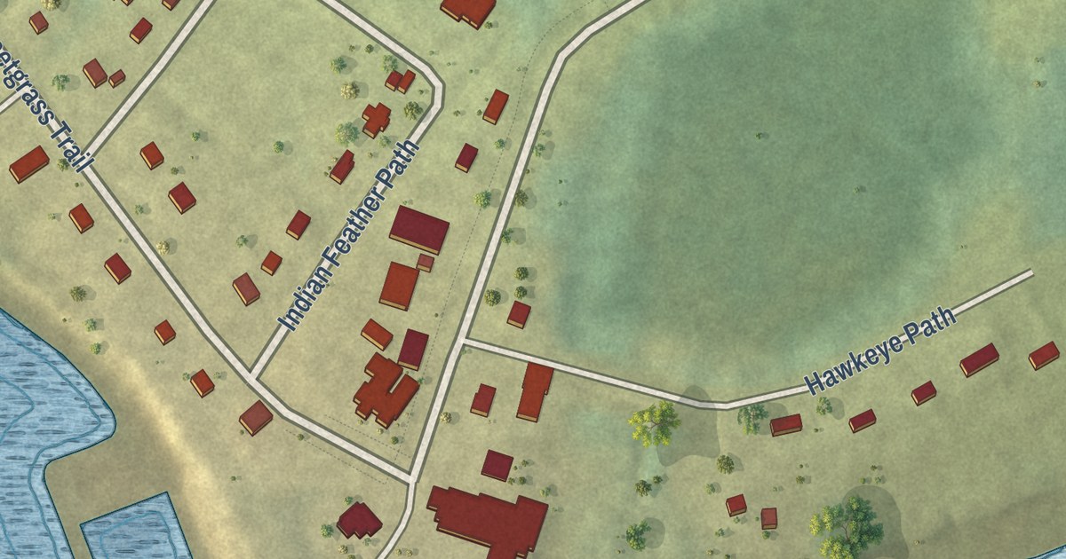
A detailed map of Lennox Island, Prince Edward Island, showing every building in its true location, the roads by name, and shaded topographical relief.
Read More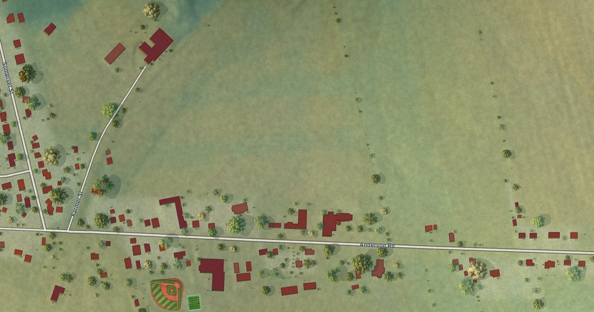
A detailed map of Kinkora, Prince Edward Island, showing every building in its true location, the roads by name, and shaded topographical relief.
Read More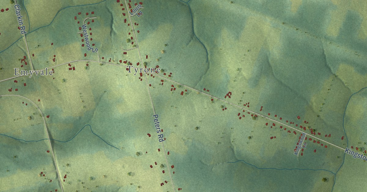
A detailed map of Kingston, Prince Edward Island, showing every building in its true location, the roads by name, and shaded topographical relief.
Read More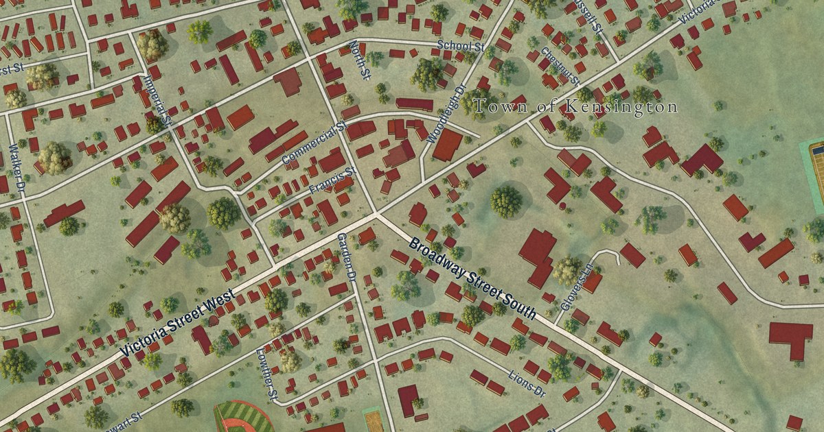
A detailed map of Kensington, Prince Edward Island, showing every building in its true location, the roads by name, and shaded topographical relief.
Read More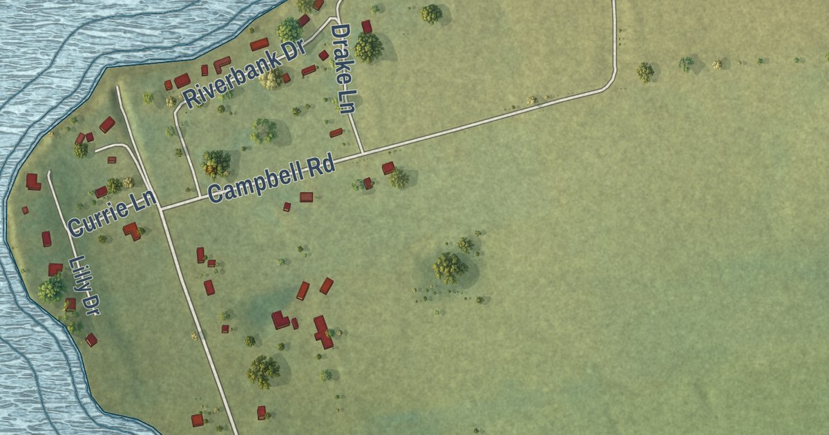
A detailed map of Johnstons River, Prince Edward Island, showing every building in its true location, the roads by name, and shaded topographical relief.
Read More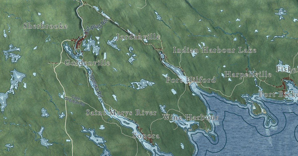
A detailed map of St. Mary’s, Nova Scotia, showing every building in its true location, the roads by name, and shaded topographical relief.
Read More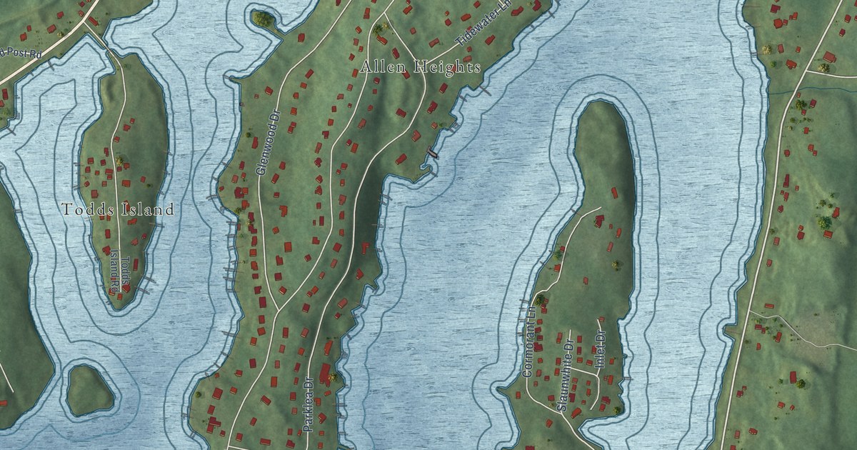
A detailed map of St. Margaret’s Bay, Nova Scotia, showing every building in its true location, the roads by name, and shaded topographical relief.
Read More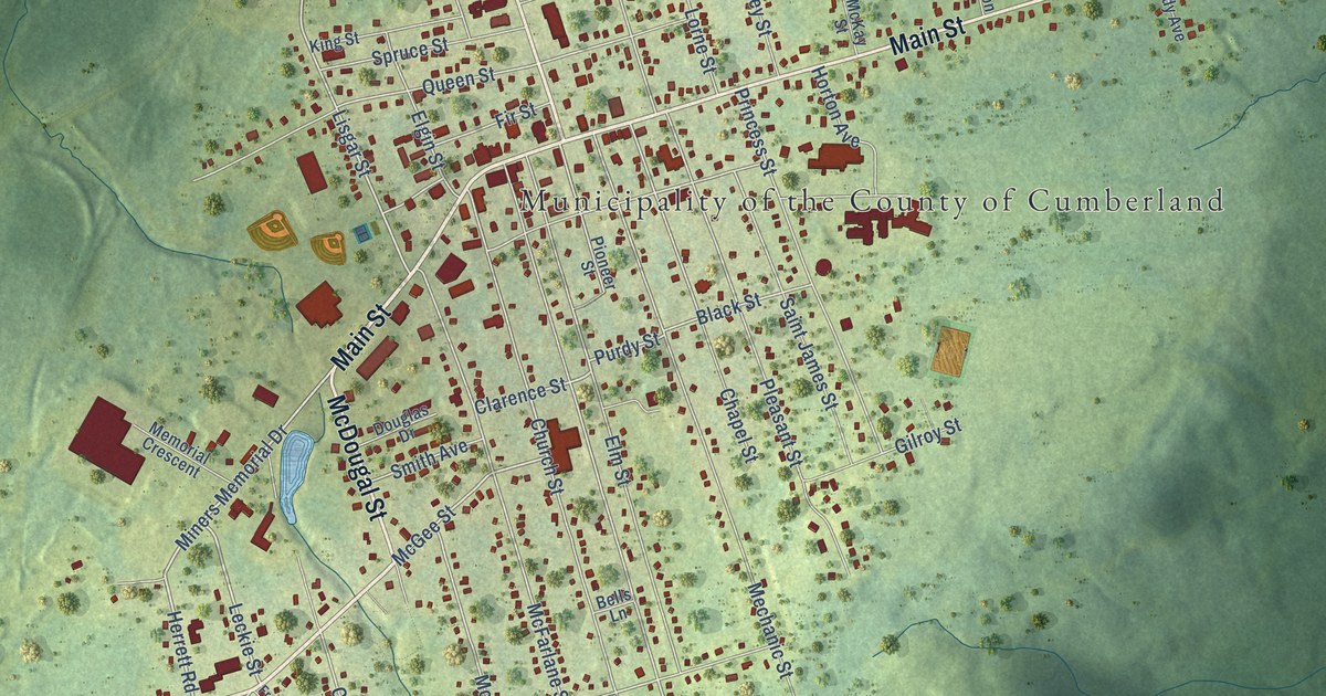
A detailed map of Springhill, Nova Scotia, showing every building in its true location, the roads by name, and shaded topographical relief.
Read More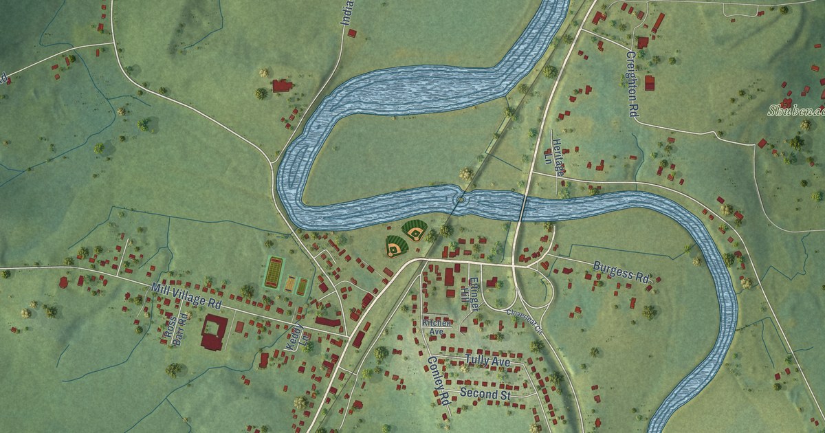
A detailed map of Shubenacadie, Nova Scotia, showing every building in its true location, the roads by name, and shaded topographical relief.
Read More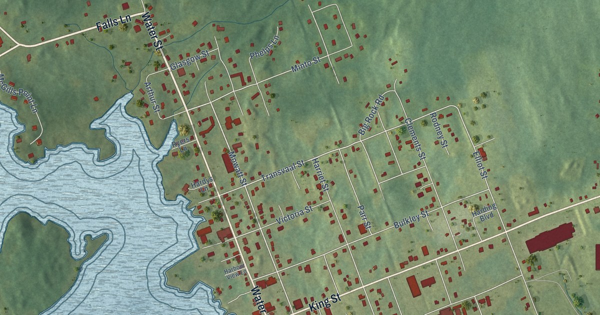
A detailed map of Shelburne, Nova Scotia, showing every building in its true location, the roads by name, and shaded topographical relief.
Read More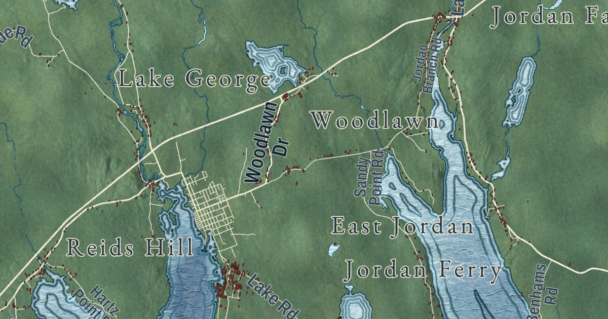
A detailed map of District of Shelburne, Nova Scotia, showing every building in its true location, the roads by name, and shaded topographical relief.
Read More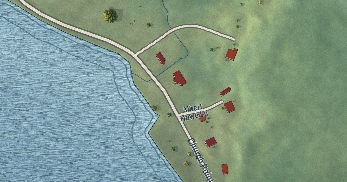
A detailed map of Sheet Harbour (Millbrook First Nation), Nova Scotia, showing every building in its true location, the roads by name, and shaded topographical relief.
Read More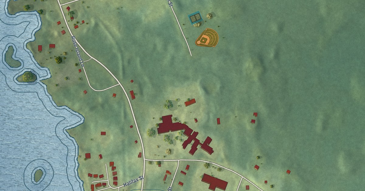
A detailed map of Sandy Point, Nova Scotia, showing every building in its true location, the roads by name, and shaded topographical relief.
Read More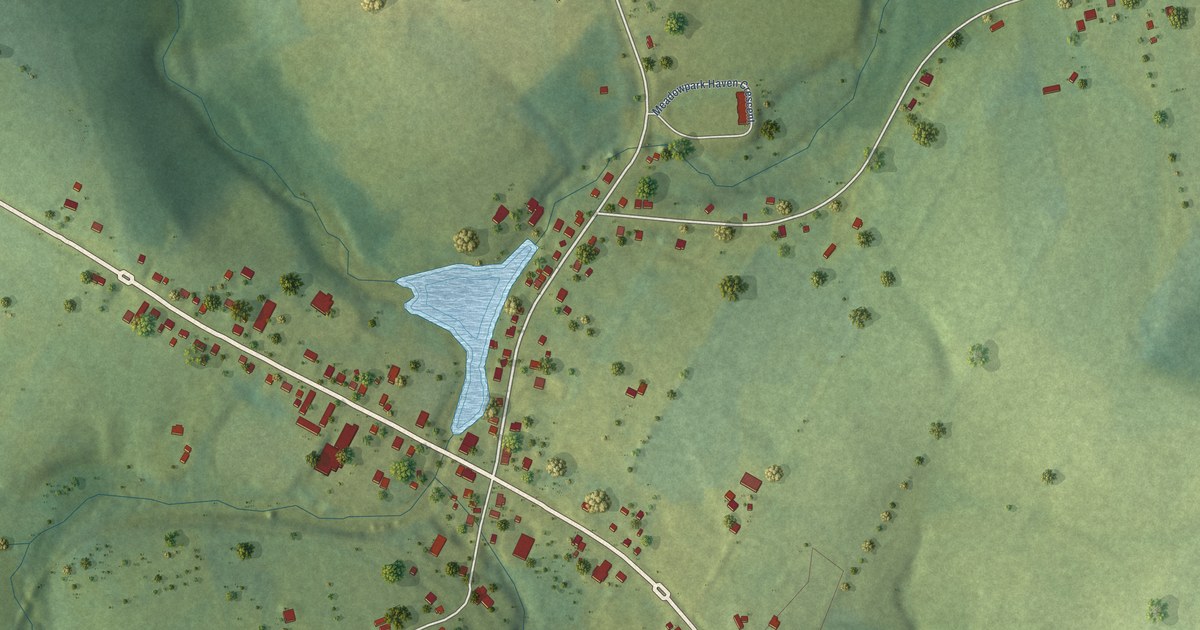
A detailed map of Hunter River, Prince Edward Island, showing every building in its true location, the roads by name, and shaded topographical relief.
Read More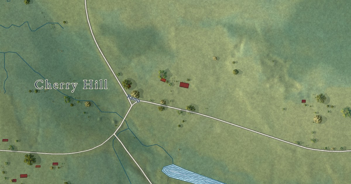
A detailed map of Head of Hillsborough, Prince Edward Island, showing every building in its true location, the roads by name, and shaded topographical relief.
Read More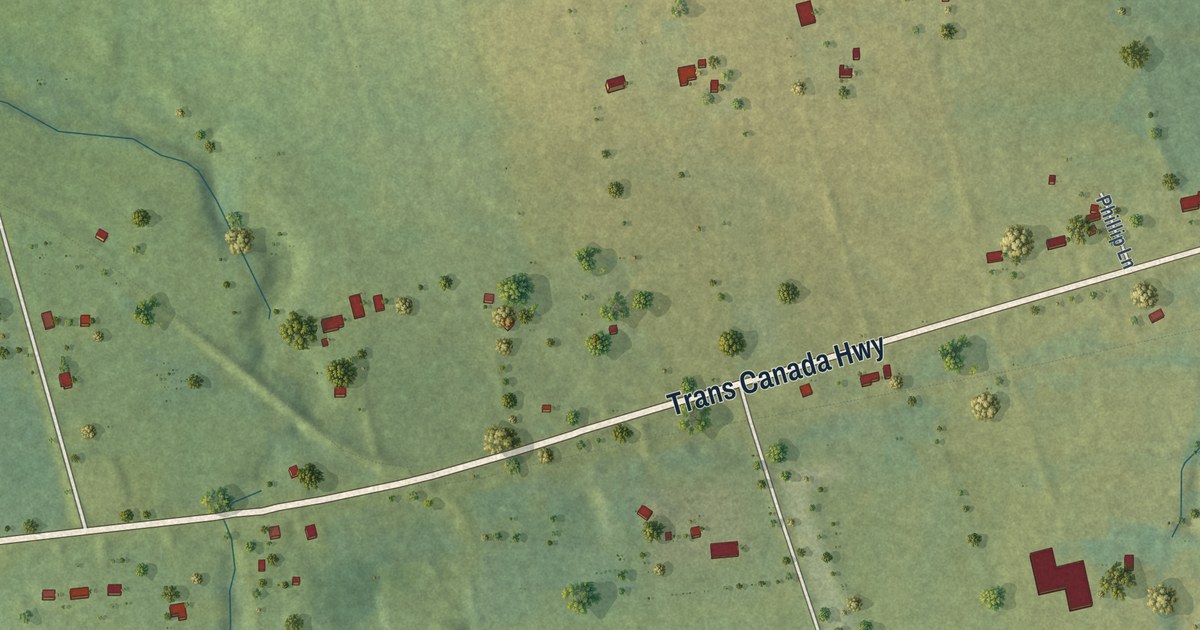
A detailed map of Hazelbrook, Prince Edward Island, showing every building in its true location, the roads by name, and shaded topographical relief.
Read More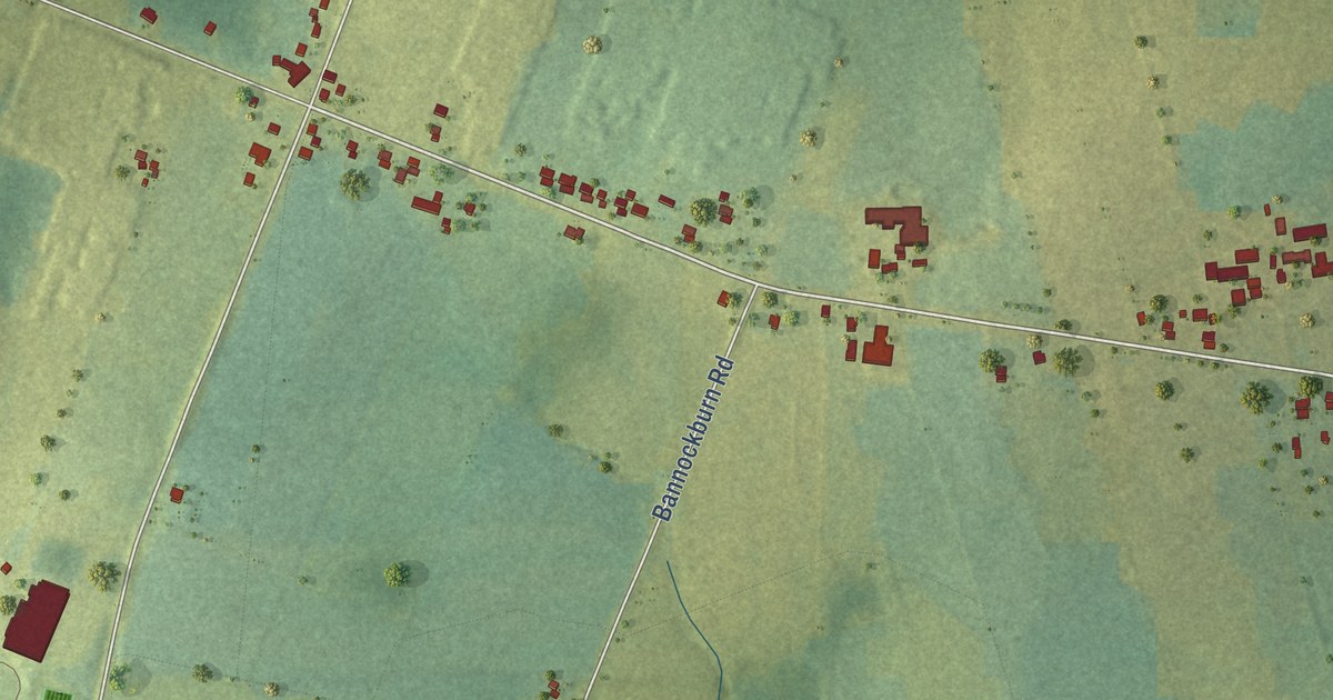
A detailed map of Hampshire, Prince Edward Island, showing every building in its true location, the roads by name, and shaded topographical relief.
Read More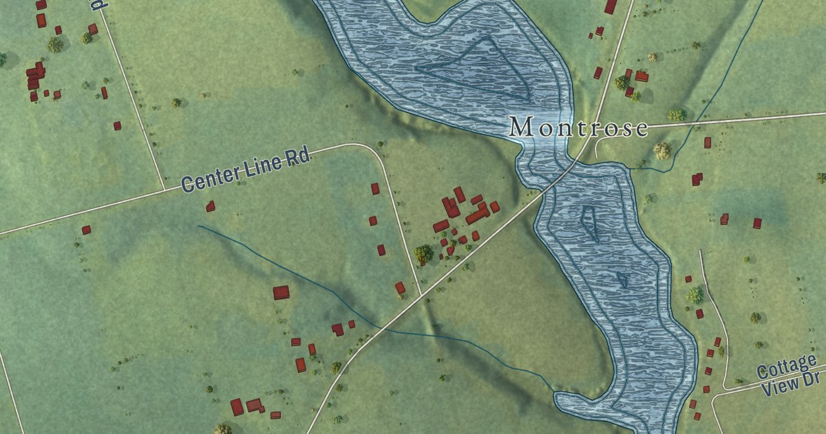
A detailed map of Greenmount-Montrose, Prince Edward Island, showing every building in its true location, the roads by name, and shaded topographical relief.
Read More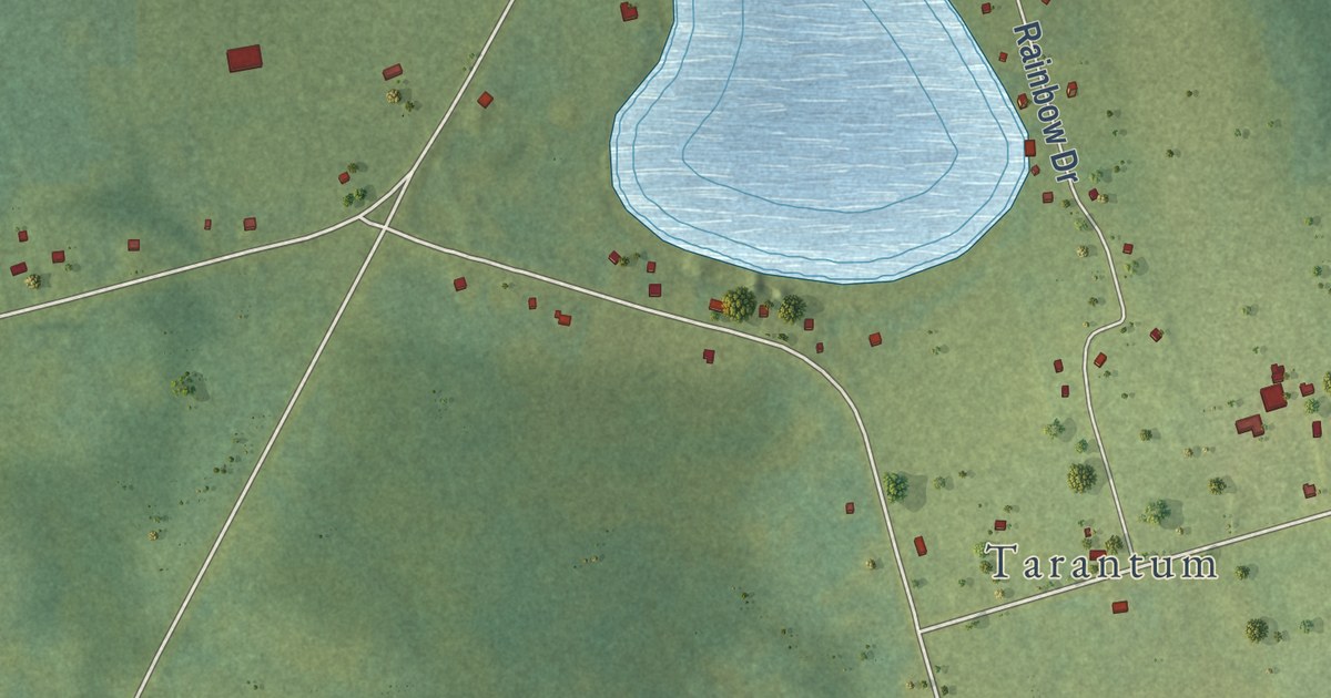
A detailed map of Glenfinnan, Prince Edward Island, showing every building in its true location, the roads by name, and shaded topographical relief.
Read More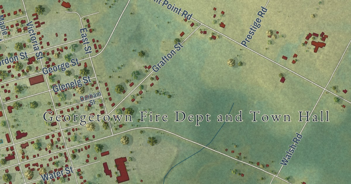
A detailed map of Georgetown, Prince Edward Island, showing every building in its true location, the roads by name, and shaded topographical relief.
Read More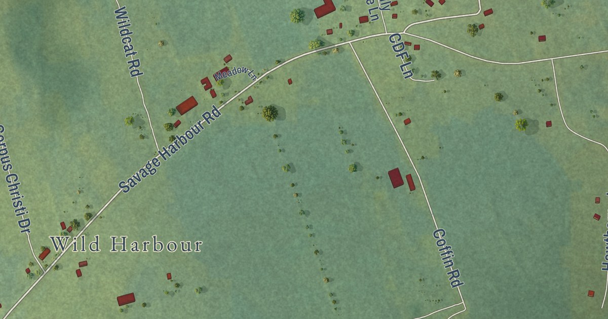
A detailed map of French Village, Prince Edward Island, showing every building in its true location, the roads by name, and shaded topographical relief.
Read More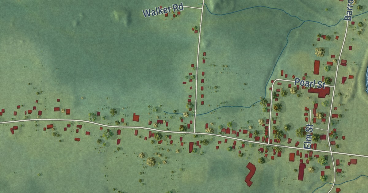
A detailed map of River Hebert, Nova Scotia, showing every building in its true location, the roads by name, and shaded topographical relief.
Read More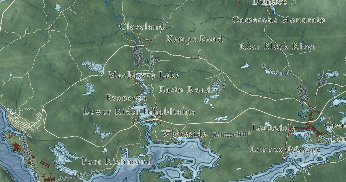
A detailed map of Richmond County, Nova Scotia, showing every building in its true location, the roads by name, and shaded topographical relief.
Read More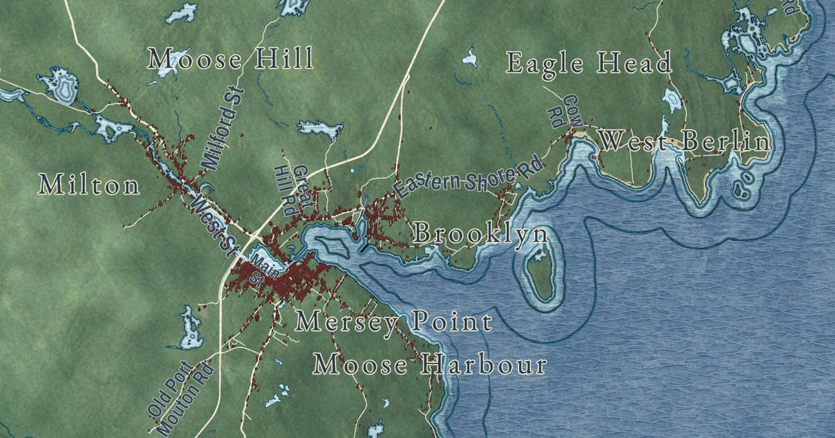
A detailed map of Queens County, Nova Scotia, showing every building in its true location, the roads by name, and shaded topographical relief.
Read More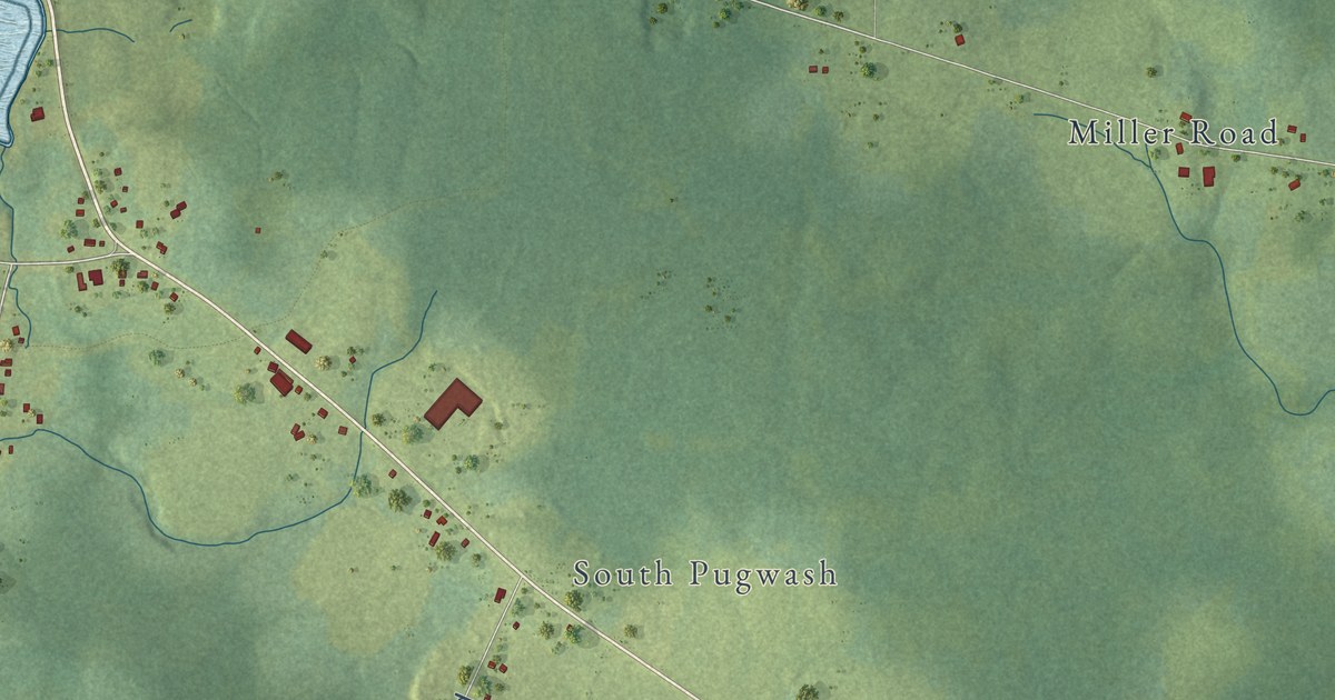
A detailed map of Pugwash, Nova Scotia, showing every building in its true location, the roads by name, and shaded topographical relief.
Read More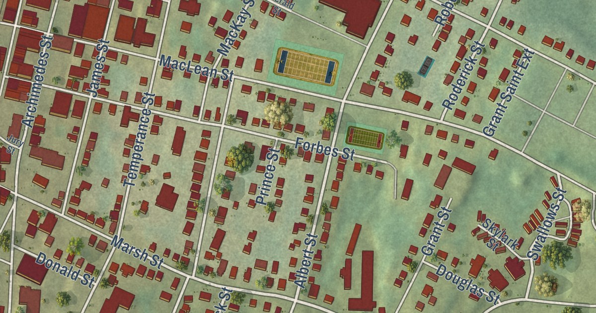
A detailed map of Priestville, Nova Scotia, showing every building in its true location, the roads by name, and shaded topographical relief.
Read More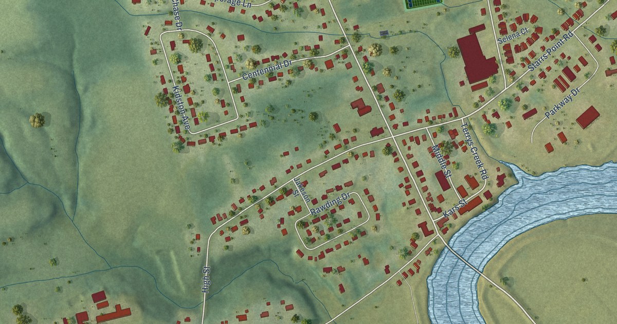
A detailed map of Port Williams, Nova Scotia, showing every building in its true location, the roads by name, and shaded topographical relief.
Read More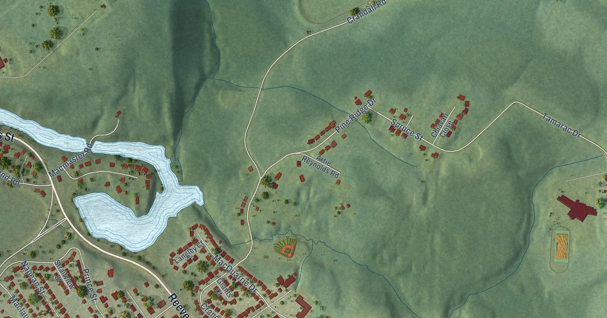
A detailed map of Port Hawkesbury, Nova Scotia, showing every building in its true location, the roads by name, and shaded topographical relief.
Read More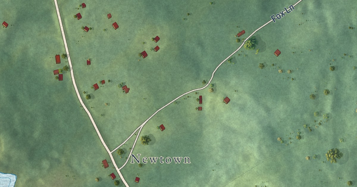
A detailed map of Port Hastings, Nova Scotia, showing every building in its true location, the roads by name, and shaded topographical relief.
Read More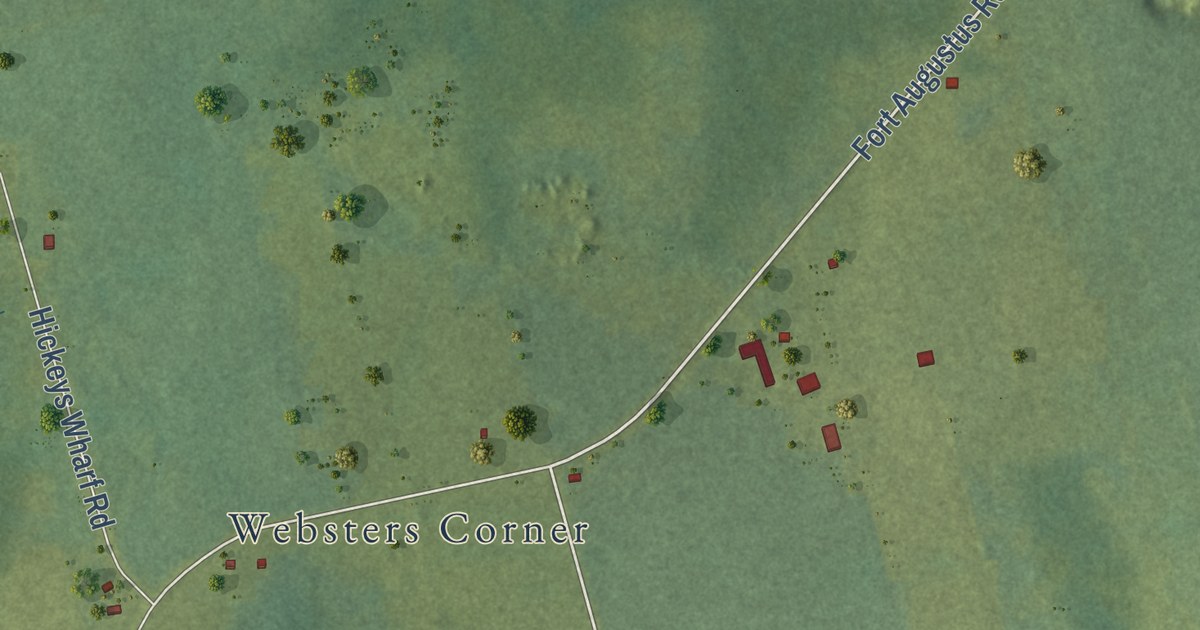
A detailed map of Fort Augustus, Prince Edward Island, showing every building in its true location, the roads by name, and shaded topographical relief.
Read More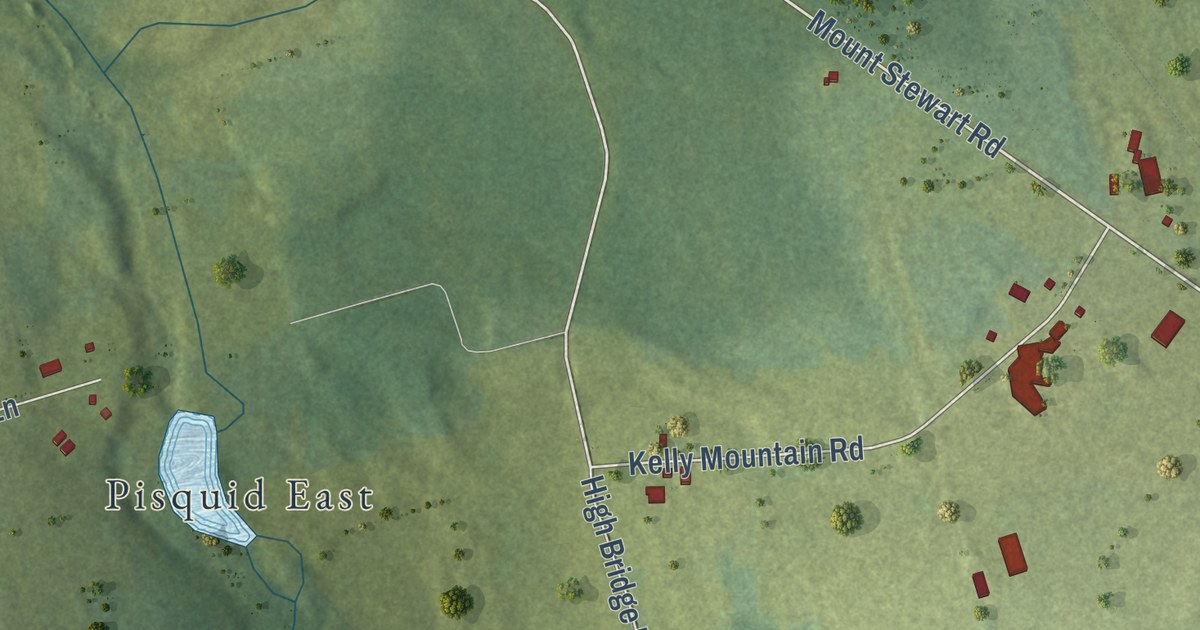
A detailed map of Fanning Brook, Prince Edward Island, showing every building in its true location, the roads by name, and shaded topographical relief.
Read More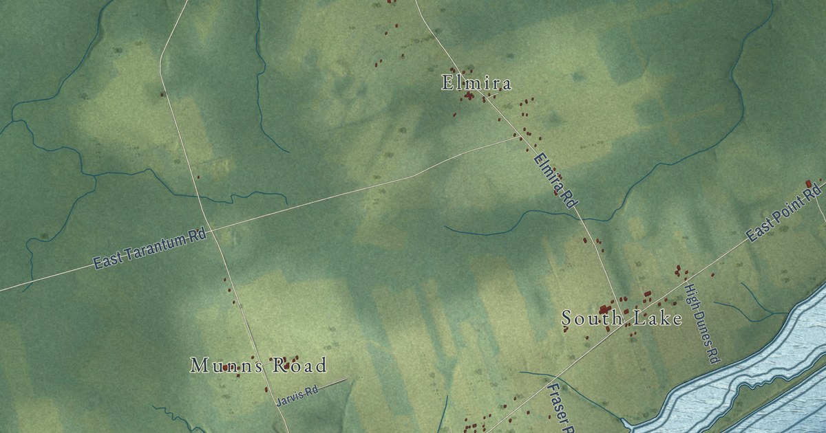
A detailed map of Eastern Kings, Prince Edward Island, showing every building in its true location, the roads by name, and shaded topographical relief.
Read More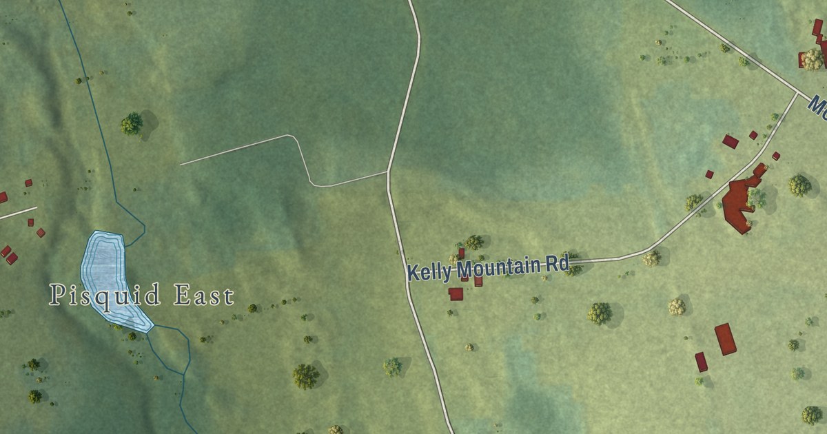
A detailed map of Dromore, Prince Edward Island, showing every building in its true location, the roads by name, and shaded topographical relief.
Read More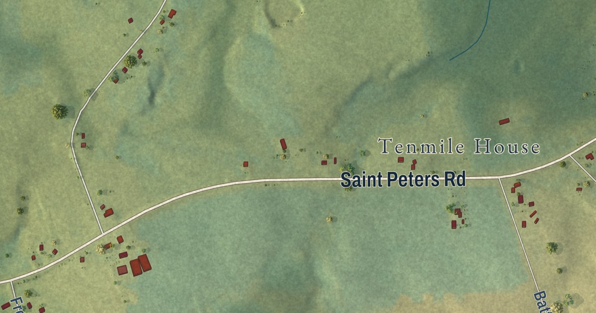
A detailed map of Donaldston, Prince Edward Island, showing every building in its true location, the roads by name, and shaded topographical relief.
Read More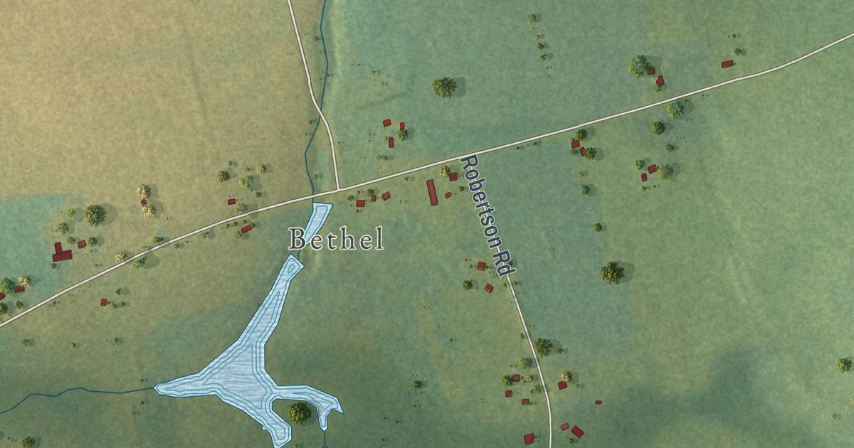
A detailed map of Donagh, Prince Edward Island, showing every building in its true location, the roads by name, and shaded topographical relief.
Read More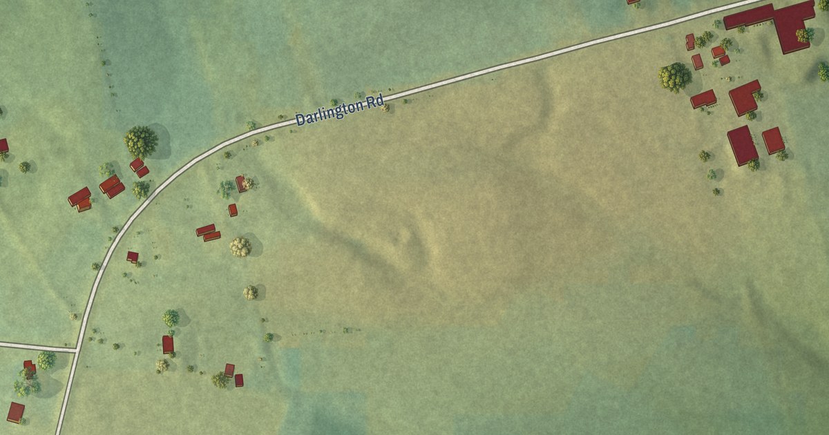
A detailed map of Darlington, Prince Edward Island, showing every building in its true location, the roads by name, and shaded topographical relief.
Read More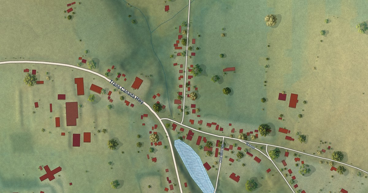
A detailed map of Crapaud, Prince Edward Island, showing every building in its true location, the roads by name, and shaded topographical relief.
Read More
A detailed map of Ponhook Lake, Nova Scotia, showing every building in its true location, the roads by name, and shaded topographical relief.
Read More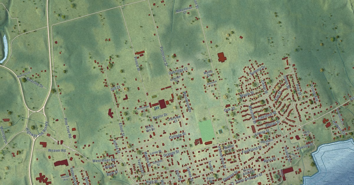
A detailed map of Pictou, Nova Scotia, showing every building in its true location, the roads by name, and shaded topographical relief.
Read More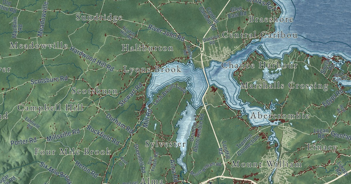
A detailed map of Pictou County, Nova Scotia, showing every building in its true location, the roads by name, and shaded topographical relief.
Read More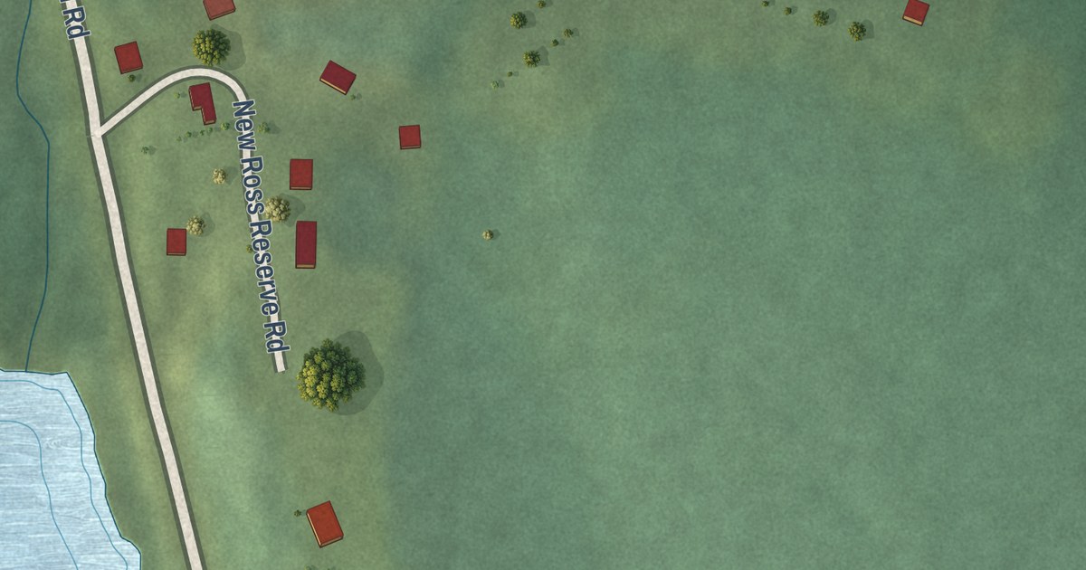
A detailed map of Pennal, Nova Scotia, showing every building in its true location, the roads by name, and shaded topographical relief.
Read More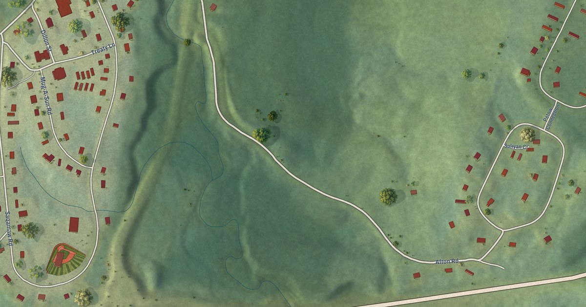
A detailed map of Paqtnkek, Nova Scotia, showing every building in its true location, the roads by name, and shaded topographical relief.
Read More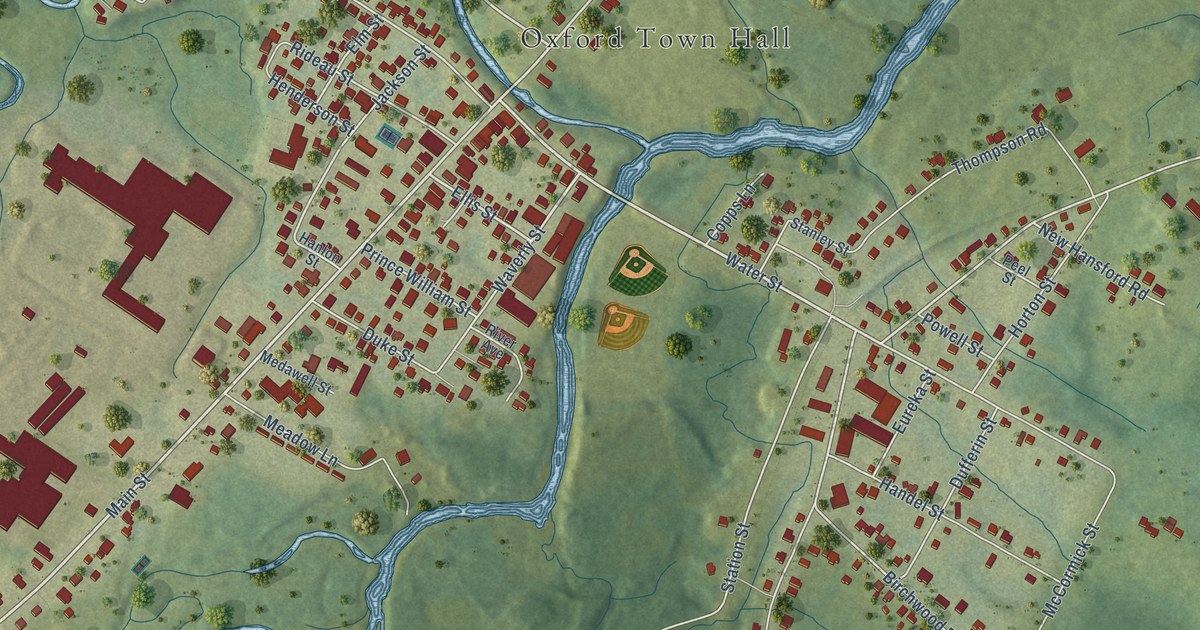
A detailed map of Oxford, Nova Scotia, showing every building in its true location, the roads by name, and shaded topographical relief.
Read More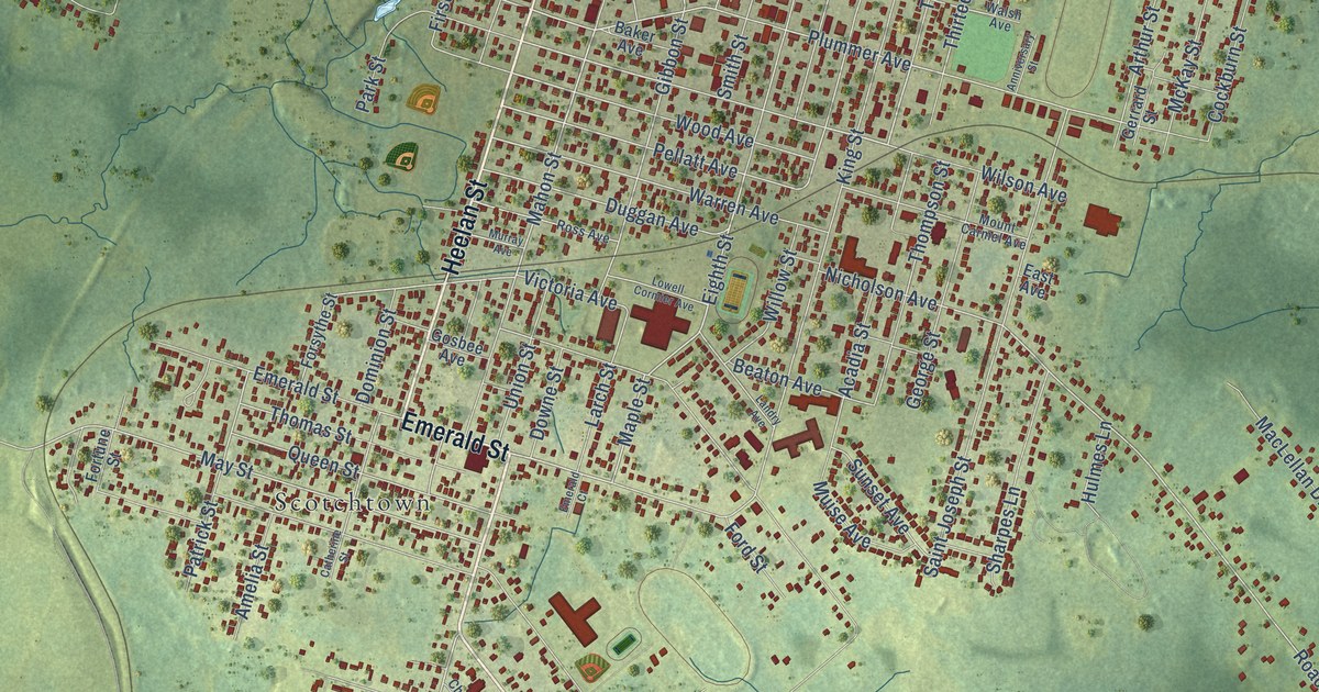
A detailed map of New Waterford, Nova Scotia, showing every building in its true location, the roads by name, and shaded topographical relief.
Read More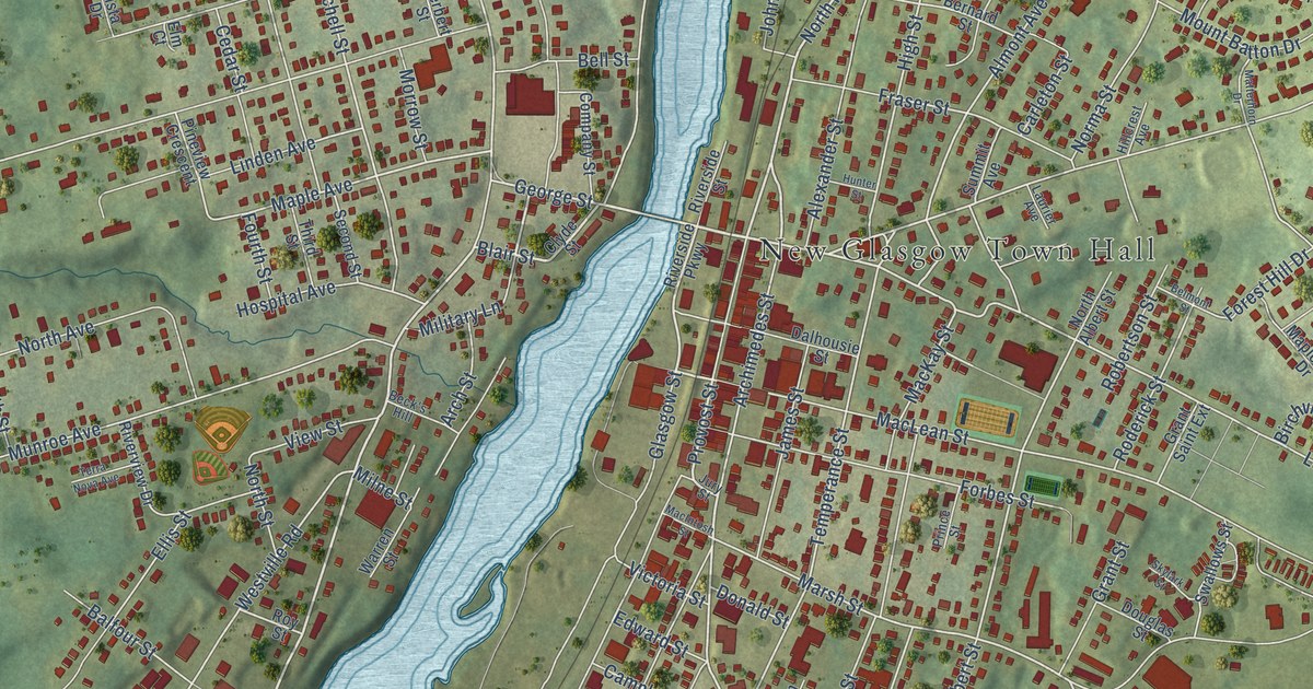
A detailed map of New Glasgow, Nova Scotia, showing every building in its true location, the roads by name, and shaded topographical relief.
Read More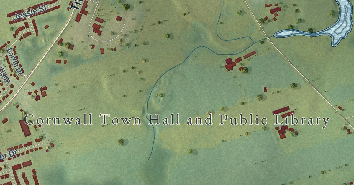
A detailed map of Cornwall, Prince Edward Island, showing every building in its true location, the roads by name, and shaded topographical relief.
Read More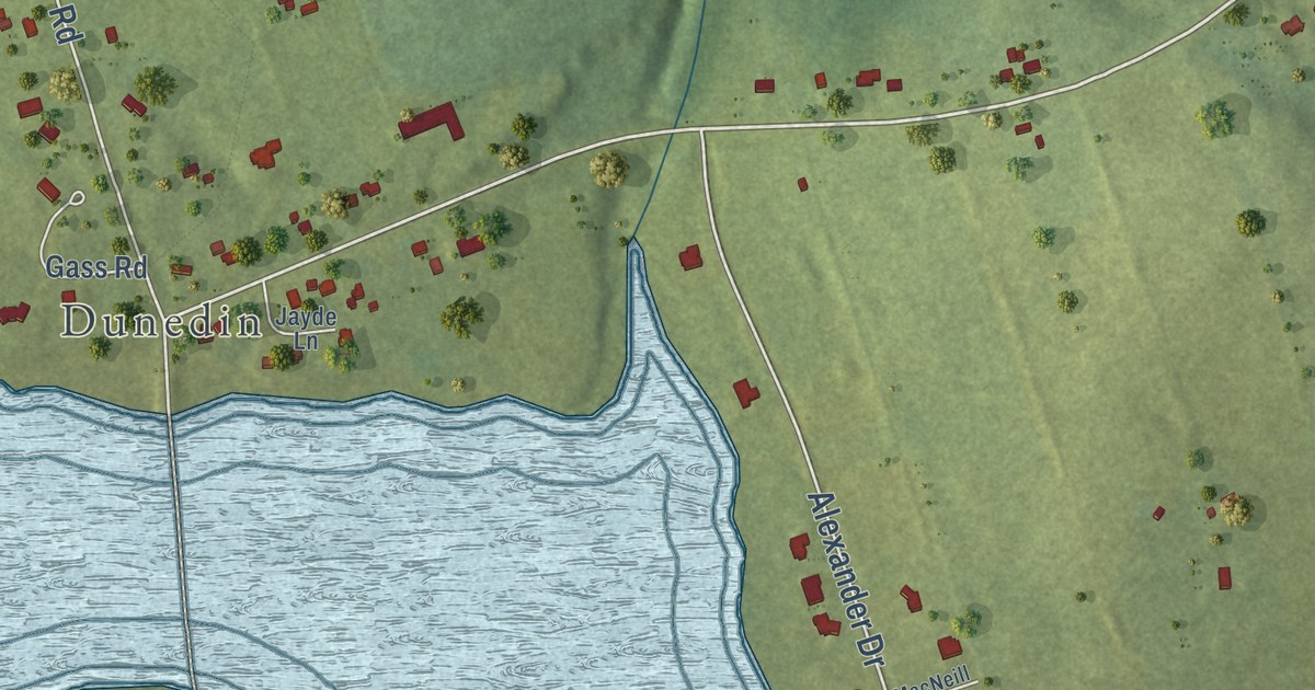
A detailed map of Clyde River, Prince Edward Island, showing every building in its true location, the roads by name, and shaded topographical relief.
Read More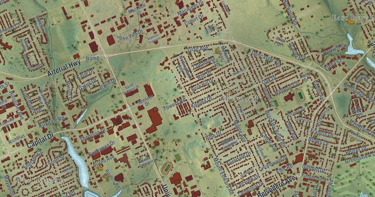
A detailed map of Charlottetown, Prince Edward Island, showing every building in its true location, the roads by name, and shaded topographical relief.
Read More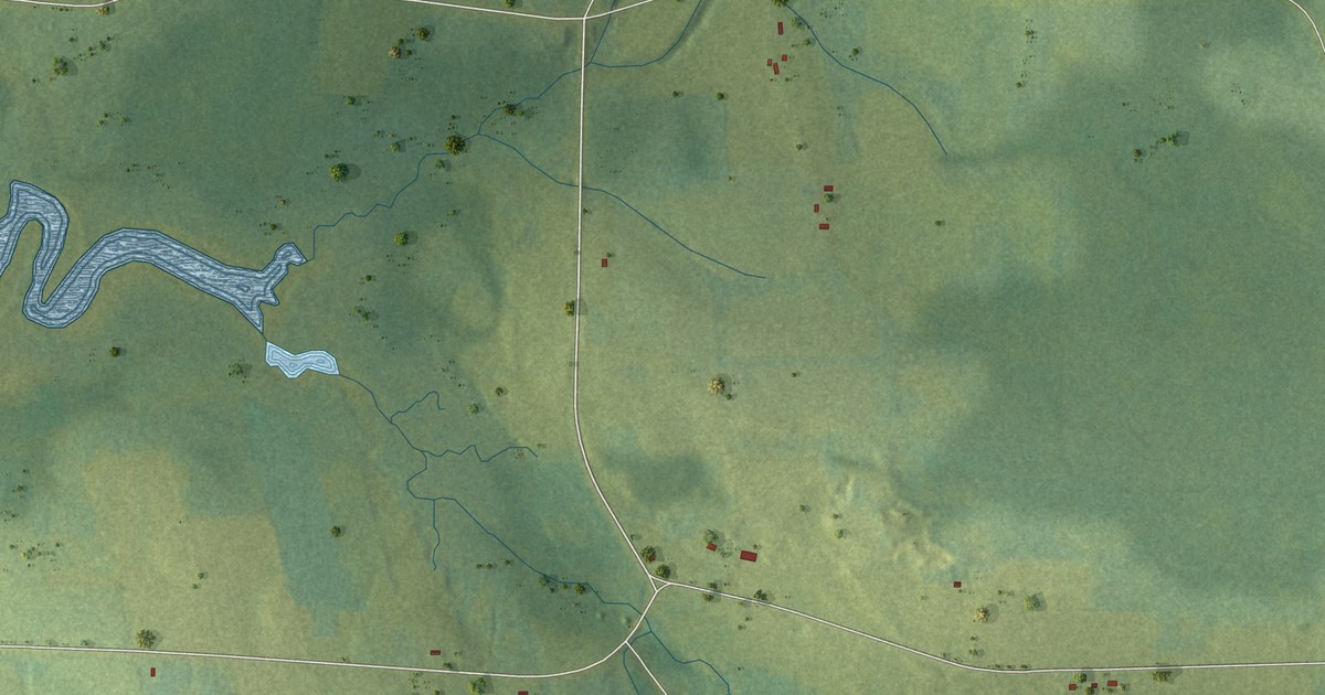
A detailed map of Cherry Hill, Prince Edward Island, showing every building in its true location, the roads by name, and shaded topographical relief.
Read More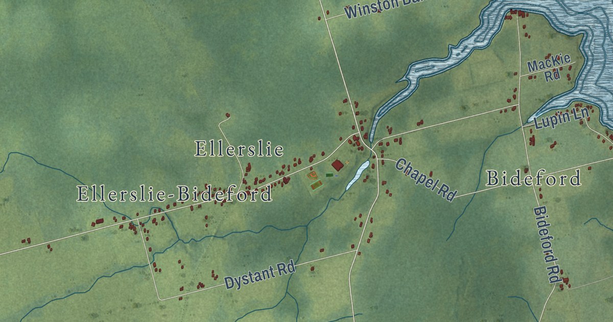
A detailed map of Central Prince, Prince Edward Island, showing every building in its true location, the roads by name, and shaded topographical relief.
Read More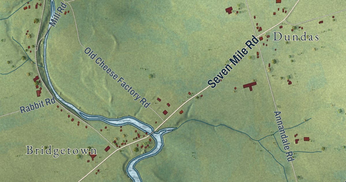
A detailed map of Central Kings, Prince Edward Island, showing every building in its true location, the roads by name, and shaded topographical relief.
Read More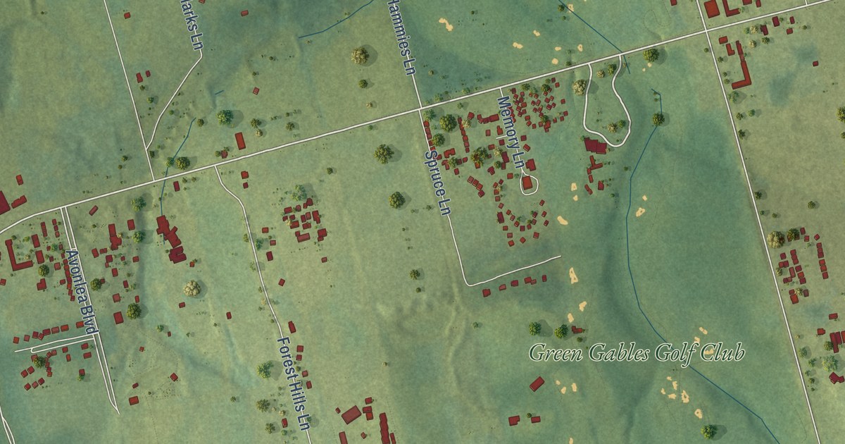
A detailed map of Cavendish, Prince Edward Island, showing every building in its true location, the roads by name, and shaded topographical relief.
Read More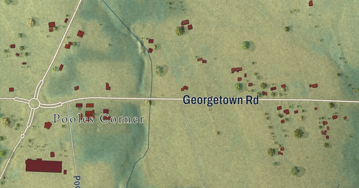
A detailed map of Cardigan, Prince Edward Island, showing every building in its true location, the roads by name, and shaded topographical relief.
Read More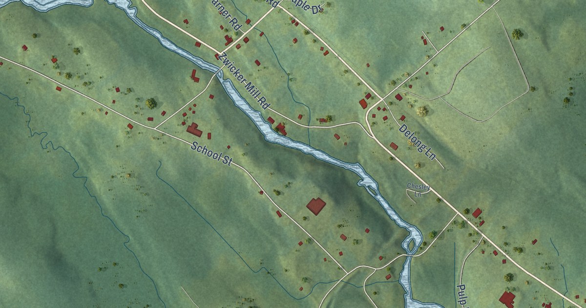
A detailed map of New Germany, Nova Scotia, showing every building in its true location, the roads by name, and shaded topographical relief.
Read More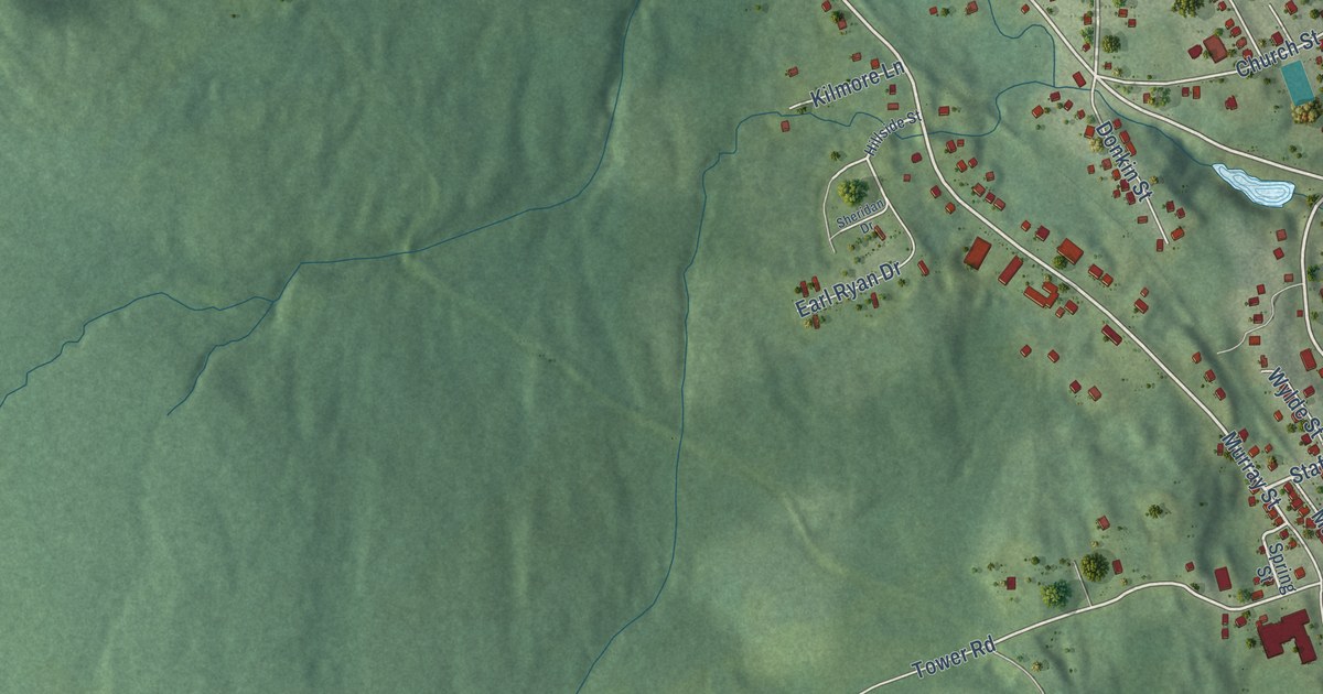
A detailed map of Mulgrave, Nova Scotia, showing every building in its true location, the roads by name, and shaded topographical relief.
Read More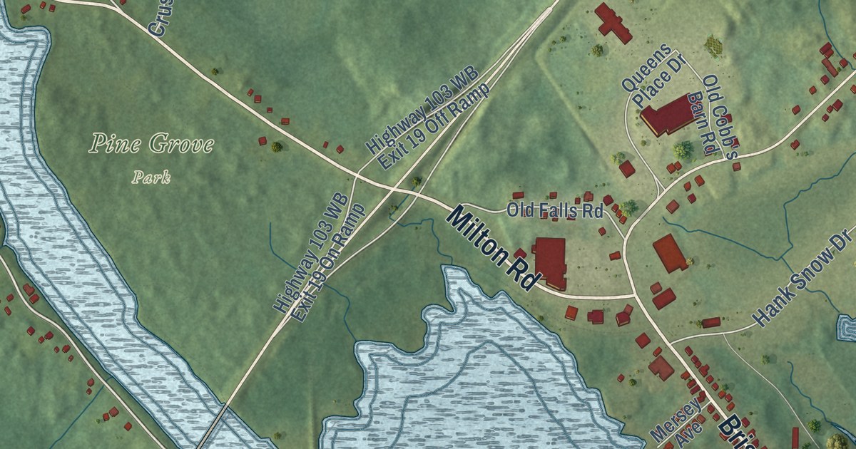
A detailed map of Milton, Nova Scotia, showing every building in its true location, the roads by name, and shaded topographical relief.
Read More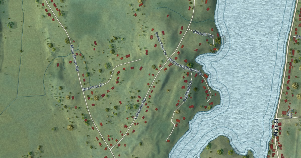
A detailed map of Milton Highlands, Nova Scotia, showing every building in its true location, the roads by name, and shaded topographical relief.
Read More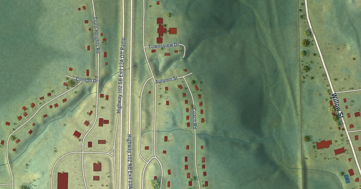
A detailed map of Millbrook, Nova Scotia, showing every building in its true location, the roads by name, and shaded topographical relief.
Read More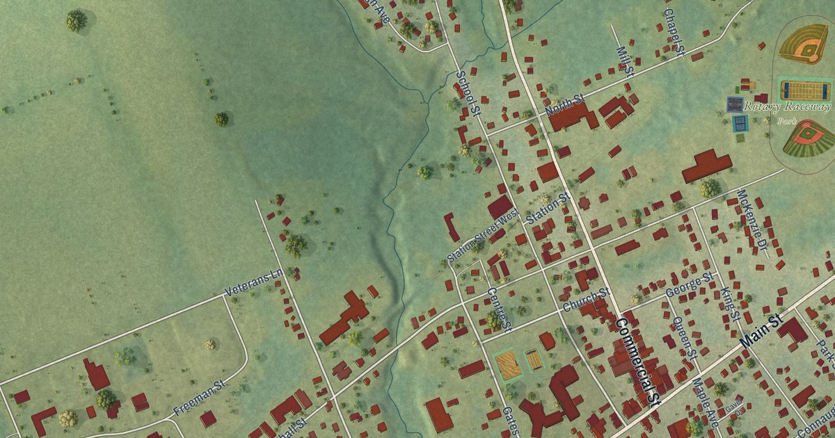
A detailed map of Middleton, Nova Scotia, showing every building in its true location, the roads by name, and shaded topographical relief.
Read More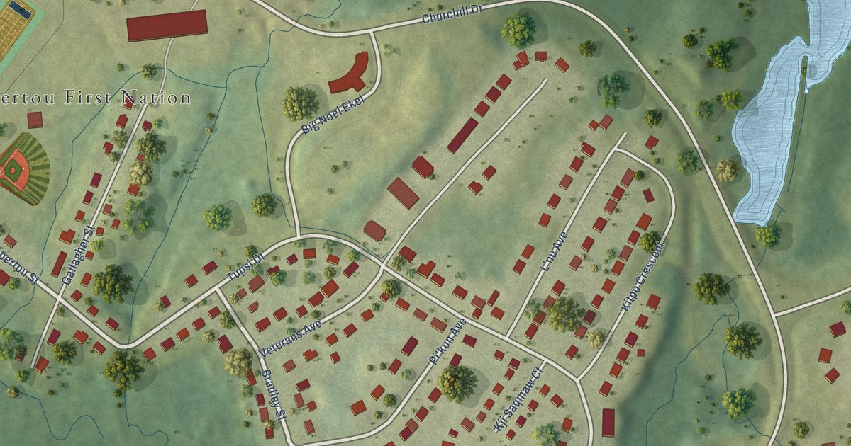
A detailed map of Membertou, Nova Scotia, showing every building in its true location, the roads by name, and shaded topographical relief.
Read More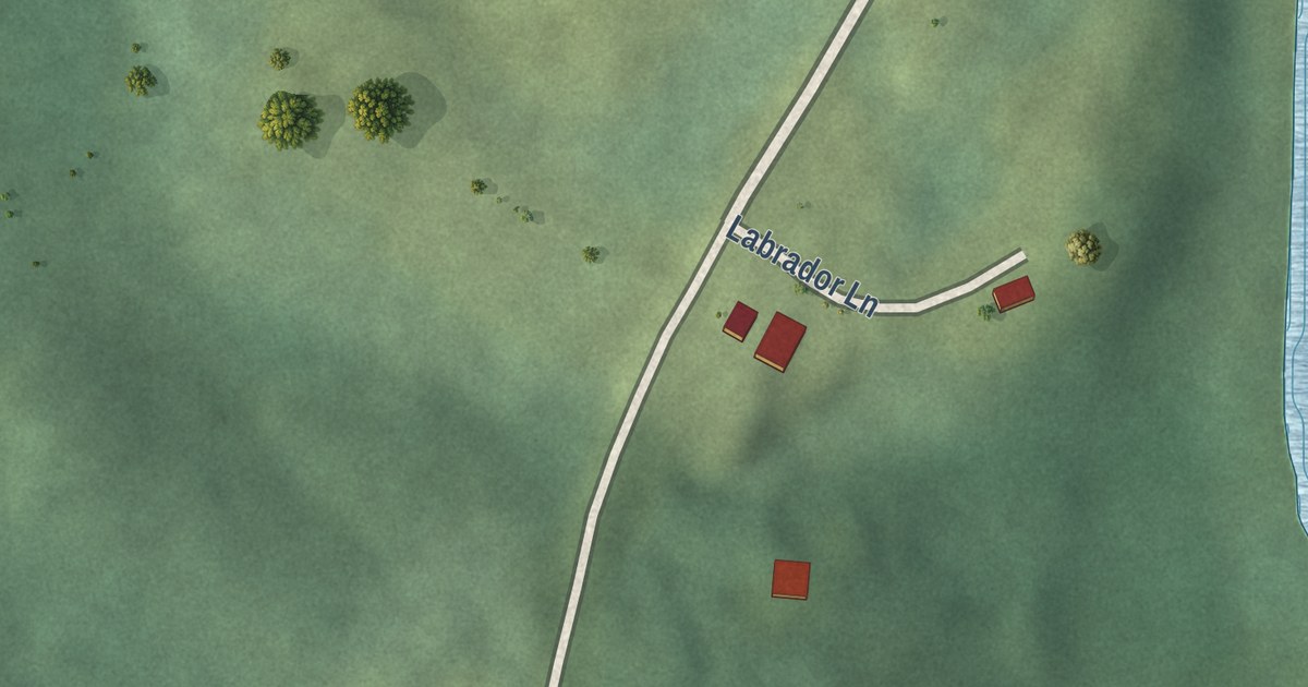
A detailed map of Medway River, Nova Scotia, showing every building in its true location, the roads by name, and shaded topographical relief.
Read More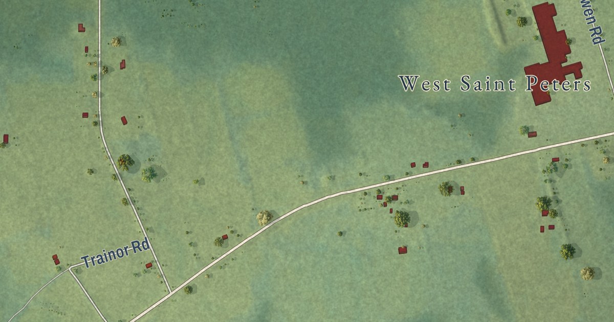
A detailed map of Canavoy, Prince Edward Island, showing every building in its true location, the roads by name, and shaded topographical relief.
Read More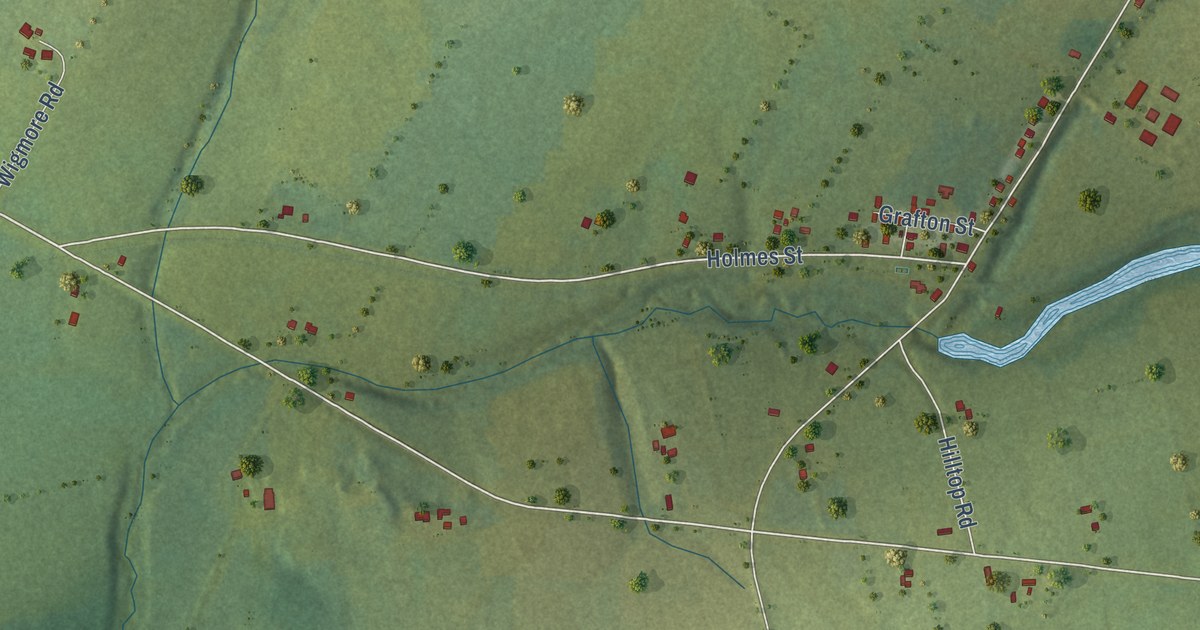
A detailed map of Breadalbane, Prince Edward Island, showing every building in its true location, the roads by name, and shaded topographical relief.
Read More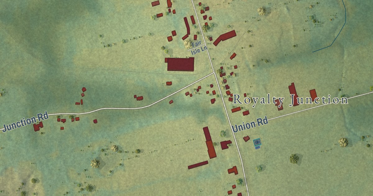
A detailed map of Brackley, Prince Edward Island, showing every building in its true location, the roads by name, and shaded topographical relief.
Read More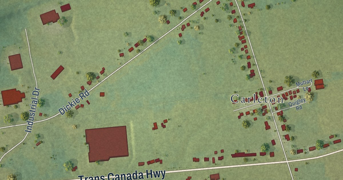
A detailed map of Borden-Carleton, Prince Edward Island, showing every building in its true location, the roads by name, and shaded topographical relief.
Read More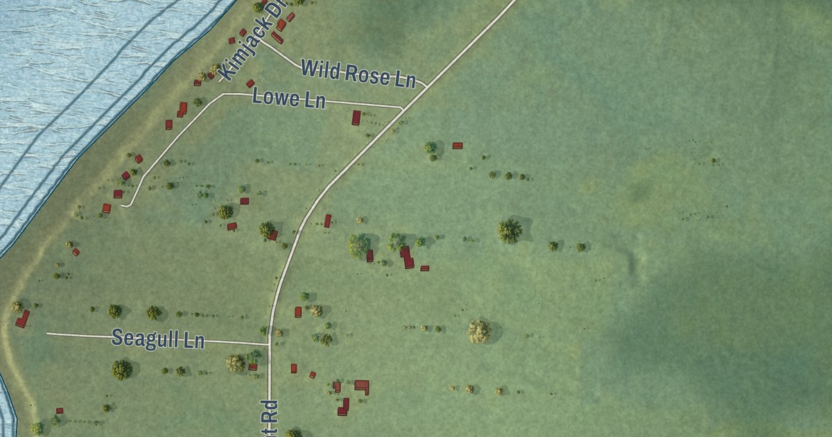
A detailed map of Blooming Point, Prince Edward Island, showing every building in its true location, the roads by name, and shaded topographical relief.
Read More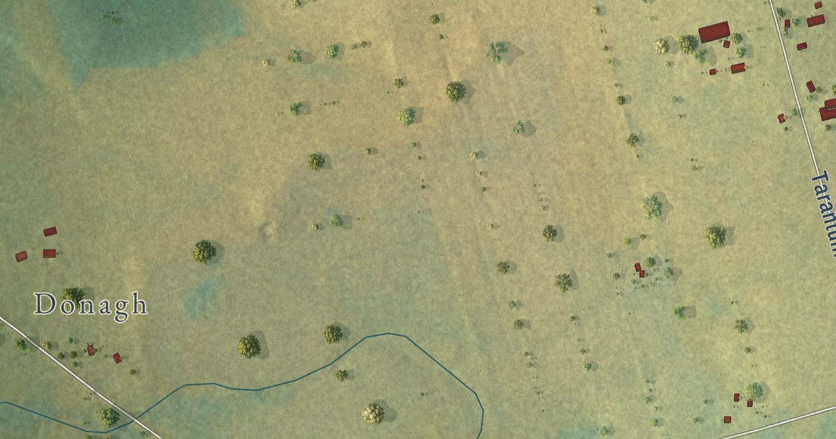
A detailed map of Bethel, Prince Edward Island, showing every building in its true location, the roads by name, and shaded topographical relief.
Read More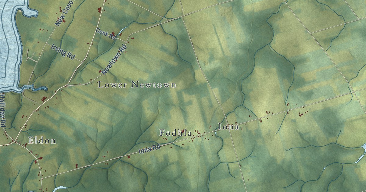
A detailed map of Belfast, Prince Edward Island, showing every building in its true location, the roads by name, and shaded topographical relief.
Read More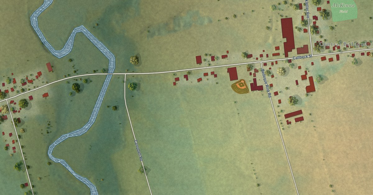
A detailed map of Bedeque and Area, Prince Edward Island, showing every building in its true location, the roads by name, and shaded topographical relief.
Read More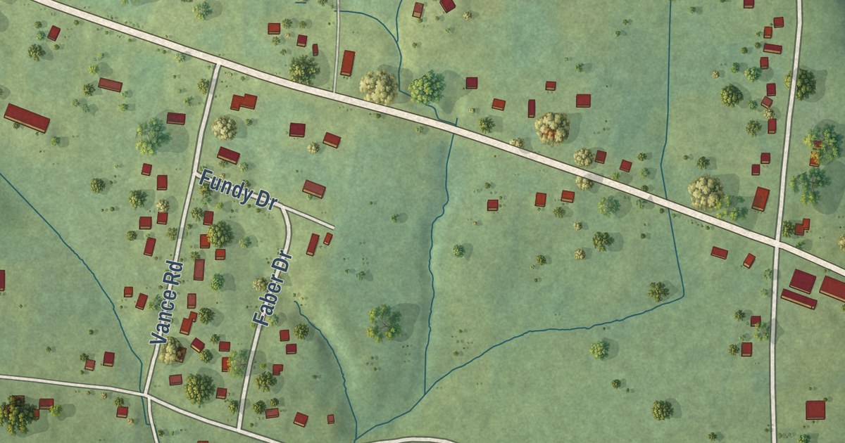
A detailed map of Masstown, Nova Scotia, showing every building in its true location, the roads by name, and shaded topographical relief.
Read More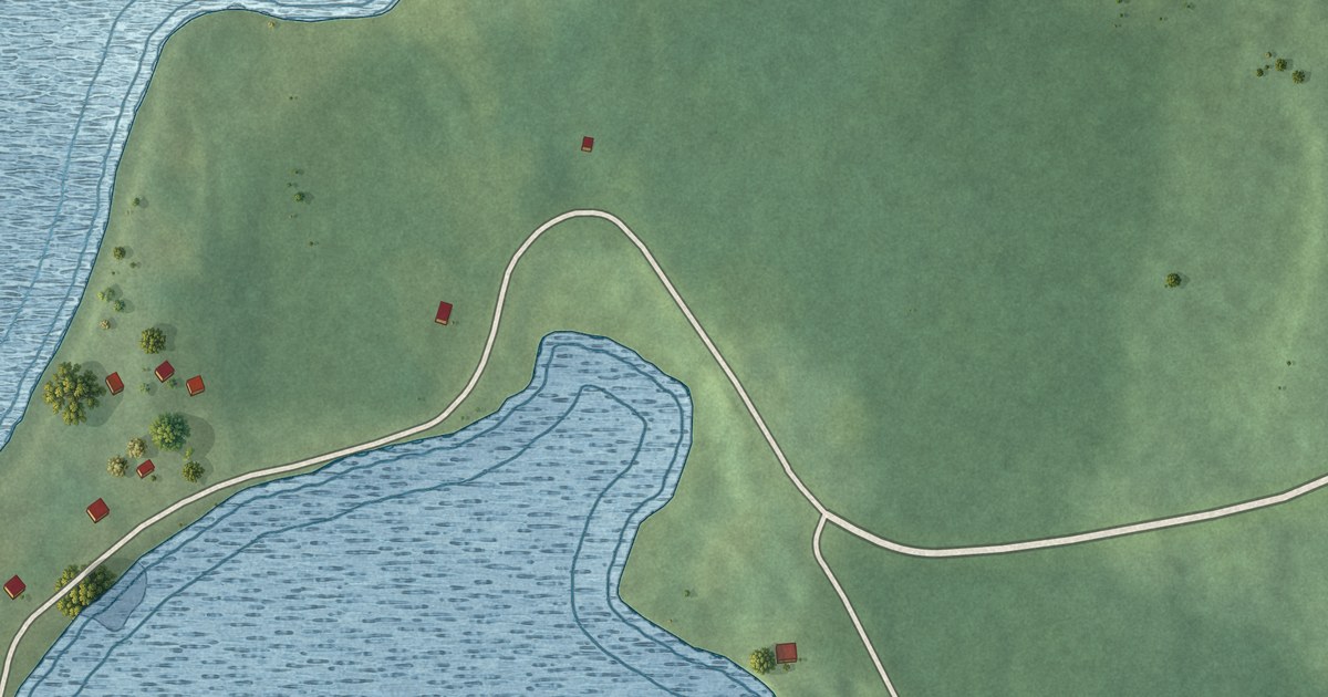
A detailed map of Malagawatch, Nova Scotia, showing every building in its true location, the roads by name, and shaded topographical relief.
Read More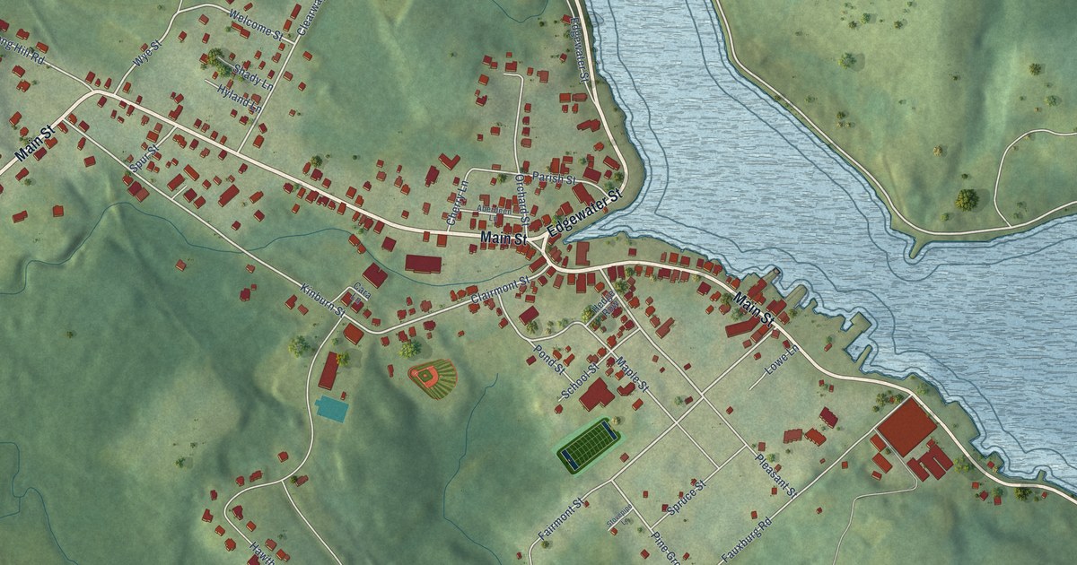
A detailed map of Mahone Bay, Nova Scotia, showing every building in its true location, the roads by name, and shaded topographical relief.
Read More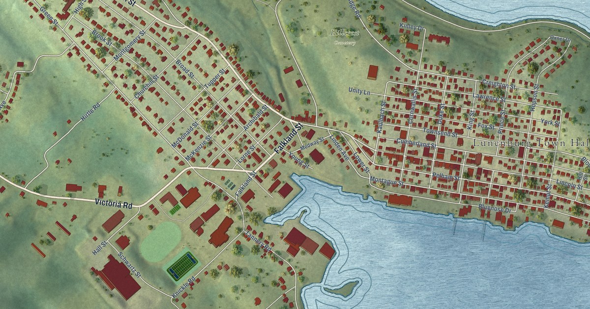
A detailed map of Lunenburg, Nova Scotia, showing every building in its true location, the roads by name, and shaded topographical relief.
Read More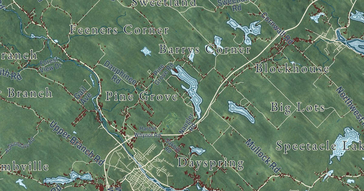
A detailed map of District of Lunenburg, Nova Scotia, showing every building in its true location, the roads by name, and shaded topographical relief.
Read More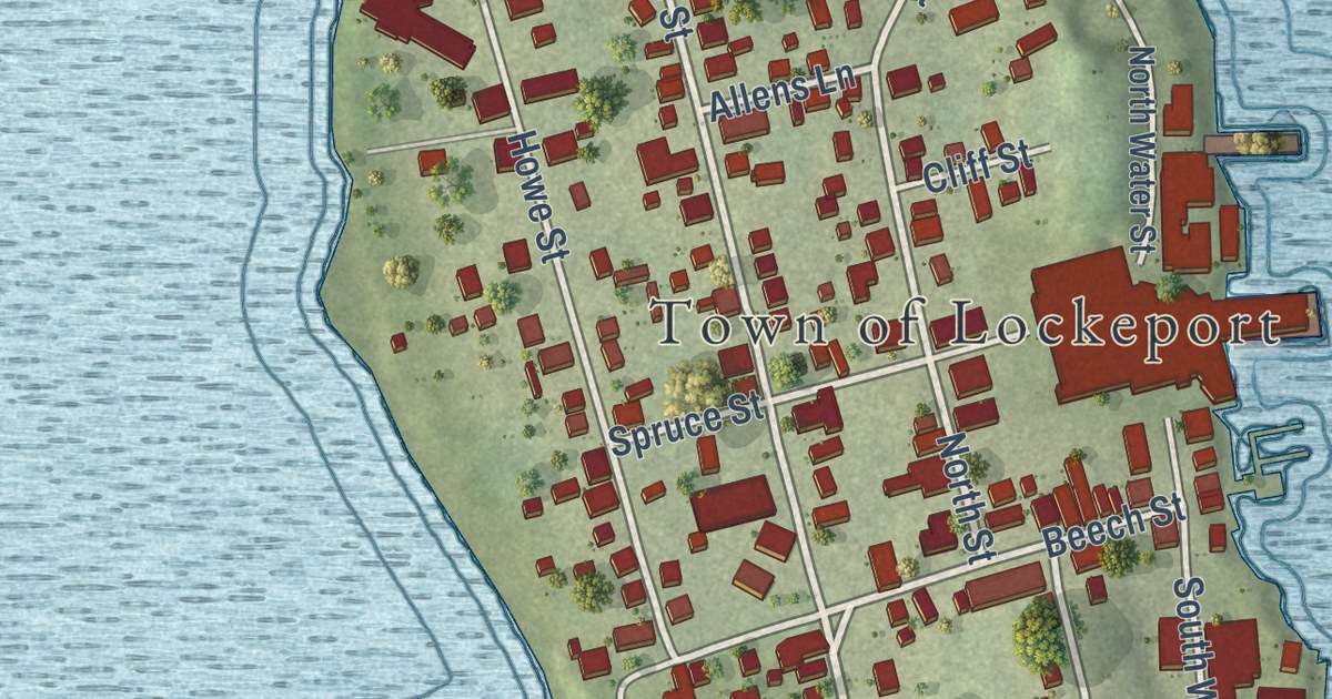
A detailed map of Lockeport, Nova Scotia, showing every building in its true location, the roads by name, and shaded topographical relief.
Read More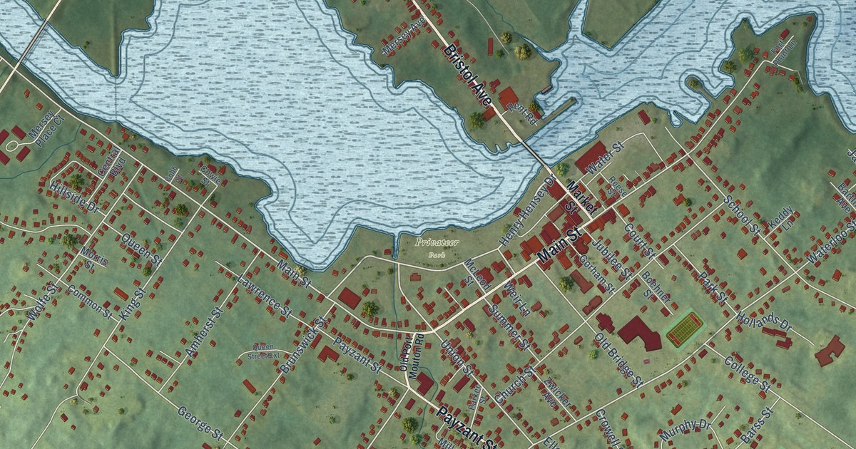
A detailed map of Liverpool, Nova Scotia, showing every building in its true location, the roads by name, and shaded topographical relief.
Read More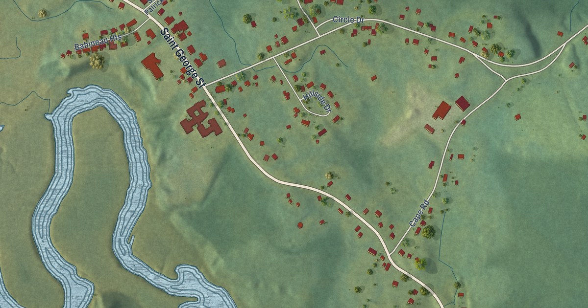
A detailed map of Lequille, Nova Scotia, showing every building in its true location, the roads by name, and shaded topographical relief.
Read More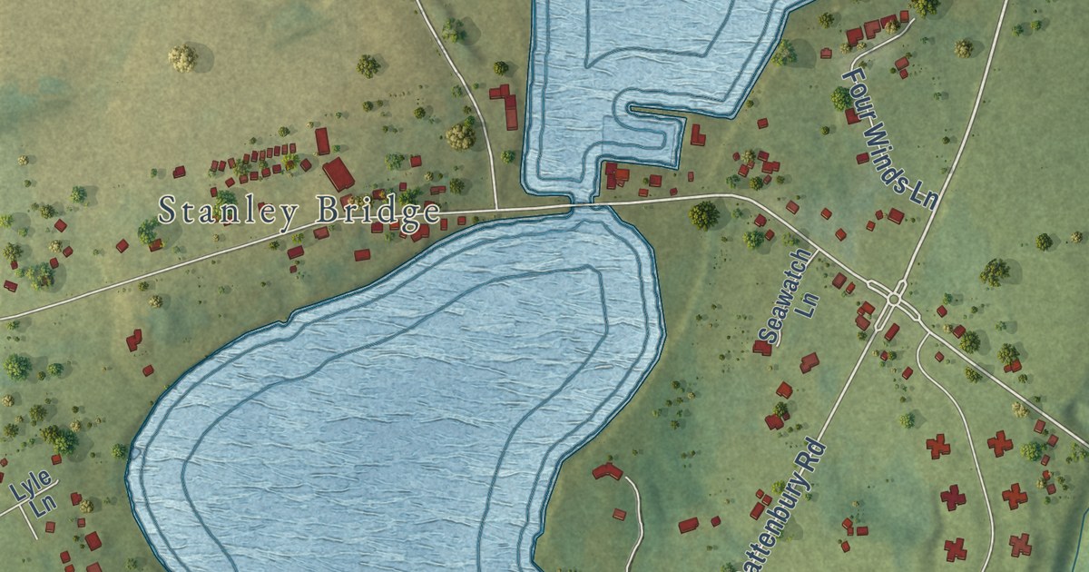
A detailed map of Bayview, Prince Edward Island, showing every building in its true location, the roads by name, and shaded topographical relief.
Read More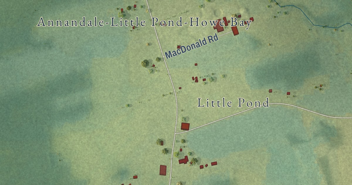
A detailed map of Annandale, Prince Edward Island, showing every building in its true location, the roads by name, and shaded topographical relief.
Read More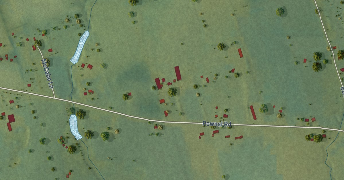
A detailed map of Alexandra, Prince Edward Island, showing every building in its true location, the roads by name, and shaded topographical relief.
Read More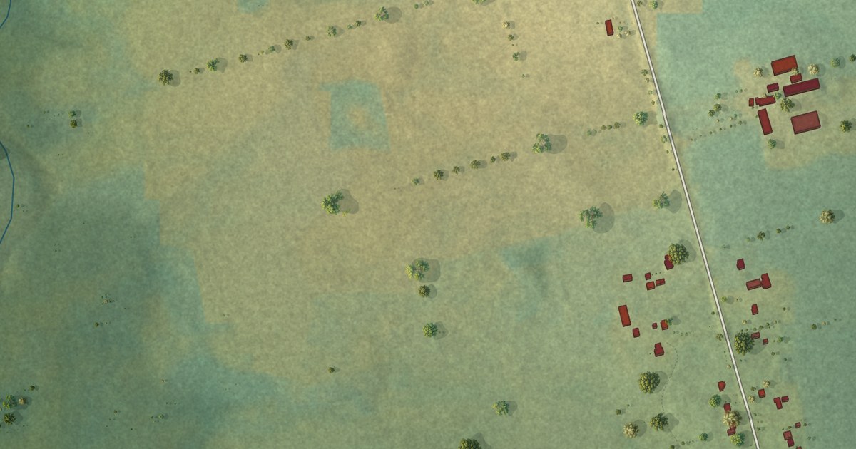
A detailed map of Auburn, Prince Edward Island, showing every building in its true location, the roads by name, and shaded topographical relief.
Read More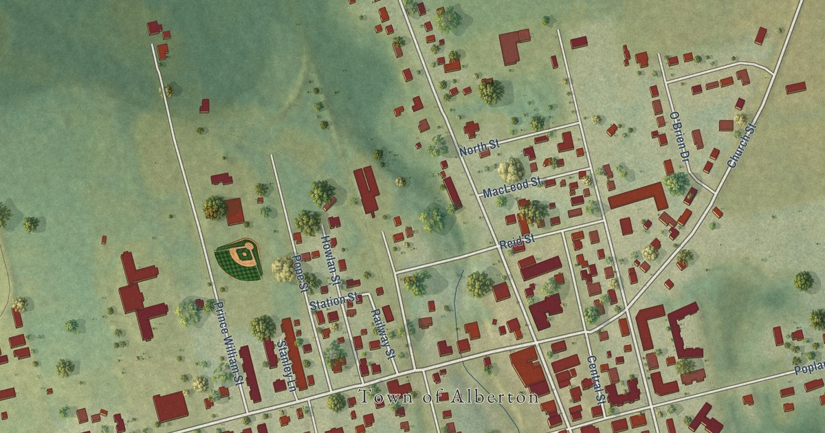
A detailed map of Alberton, Prince Edward Island, showing every building in its true location, the roads by name, and shaded topographical relief.
Read More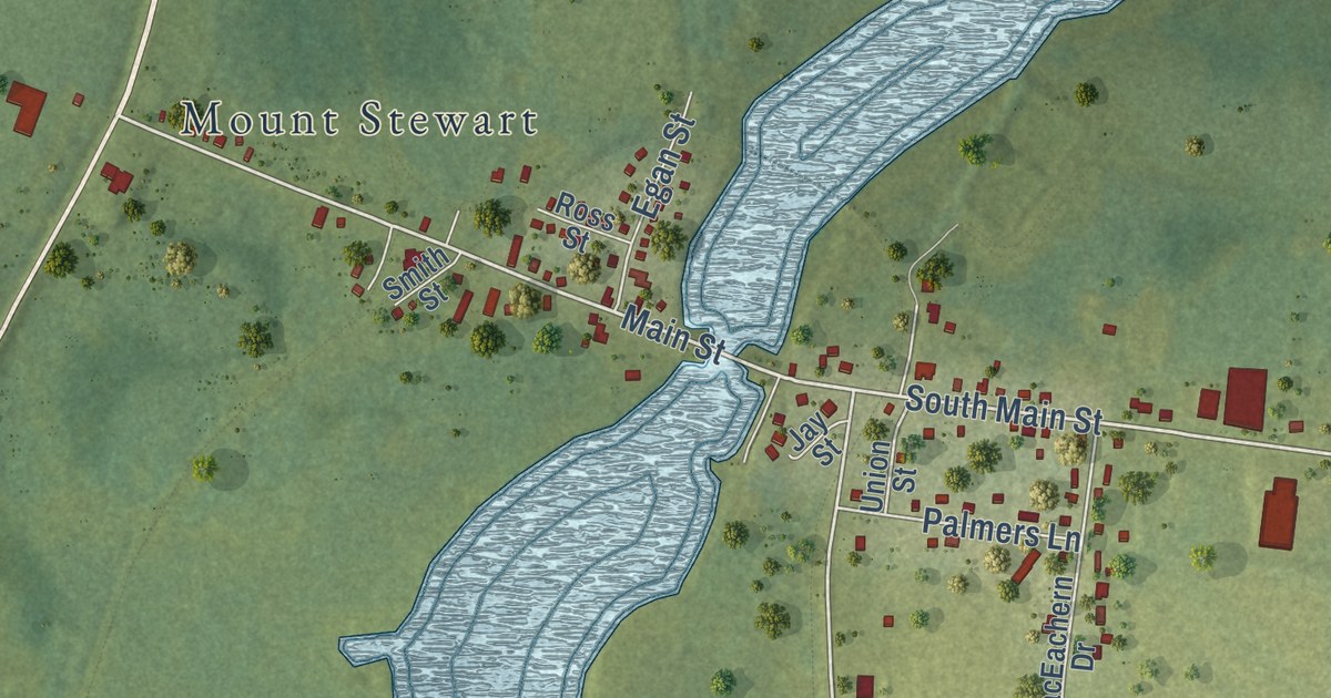
A detailed map of Allisary, Prince Edward Island, showing every building in its true location, the roads by name, and shaded topographical relief.
Read More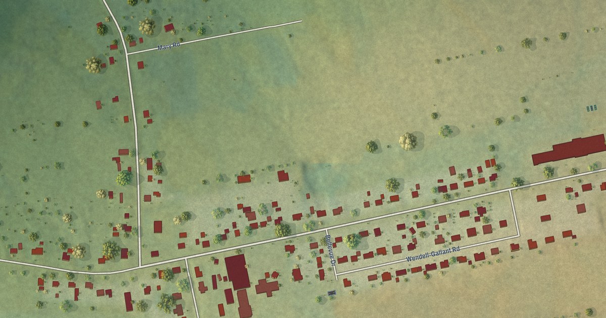
A detailed map of Abram-Village, Prince Edward Island, showing every building in its true location, the roads by name, and shaded topographical relief.
Read More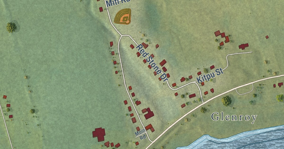
A detailed map of Afton Road, Prince Edward Island, showing every building in its true location, the roads by name, and shaded topographical relief.
Read More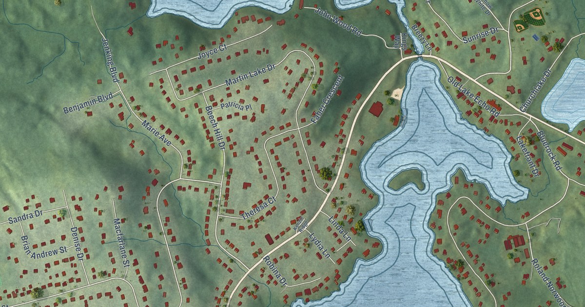
A detailed map of Lake Echo, Nova Scotia, showing every building in its true location, the roads by name, and shaded topographical relief.
Read More















