Detailed Map of Kings County, Nova Scotia
A detailed map of Kings County, Nova Scotia, showing every building in its true location, the roads by name, and shaded topographical relief.
Read More
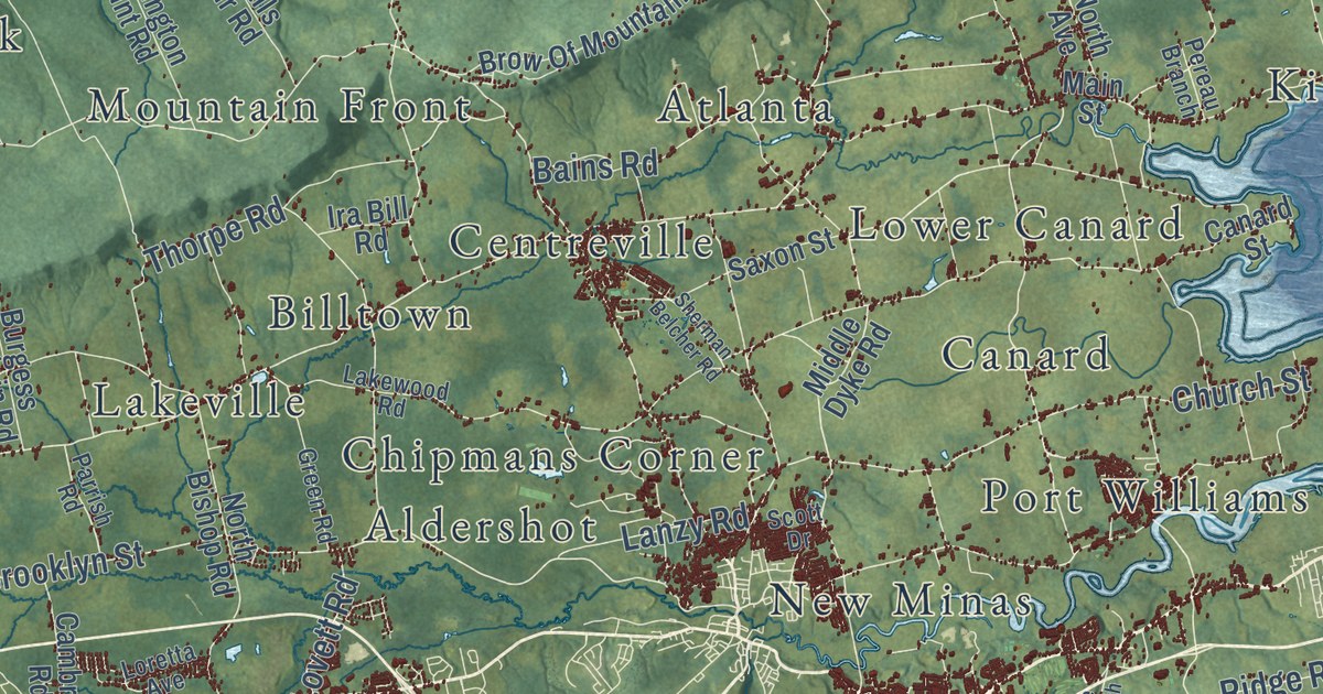
A detailed map of Kings County, Nova Scotia, showing every building in its true location, the roads by name, and shaded topographical relief.
Read More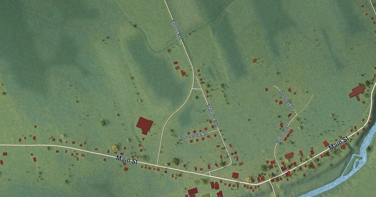
A detailed map of Lawrencetown, Nova Scotia, showing every building in its true location, the roads by name, and shaded topographical relief.
Read More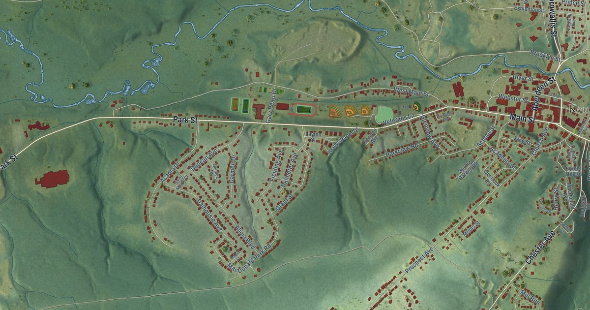
A detailed map of Kentville, Nova Scotia, showing every building in its true location, the roads by name, and shaded topographical relief.
Read More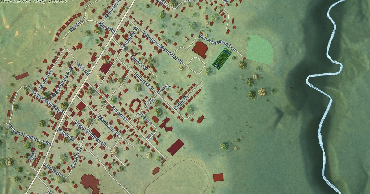
A detailed map of Inverness, Nova Scotia, showing every building in its true location, the roads by name, and shaded topographical relief.
Read More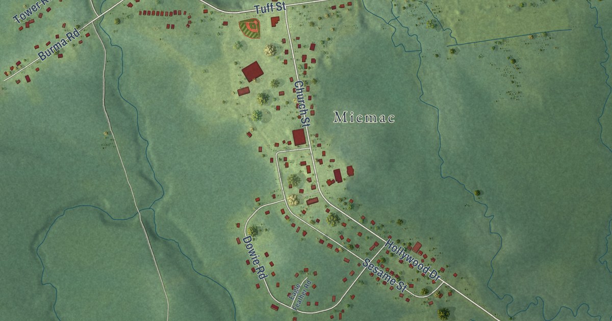
A detailed map of Indian Brook, Nova Scotia, showing every building in its true location, the roads by name, and shaded topographical relief.
Read More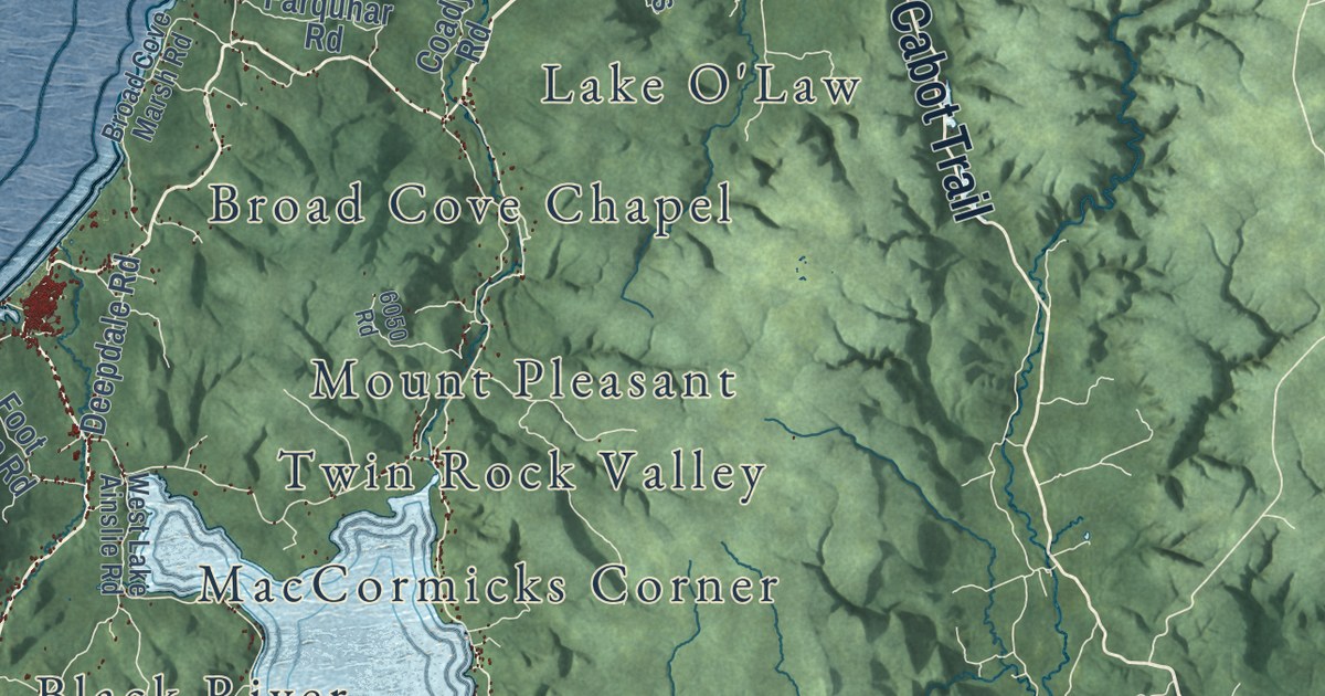
A detailed map of Inverness County, Nova Scotia, showing every building in its true location, the roads by name, and shaded topographical relief.
Read More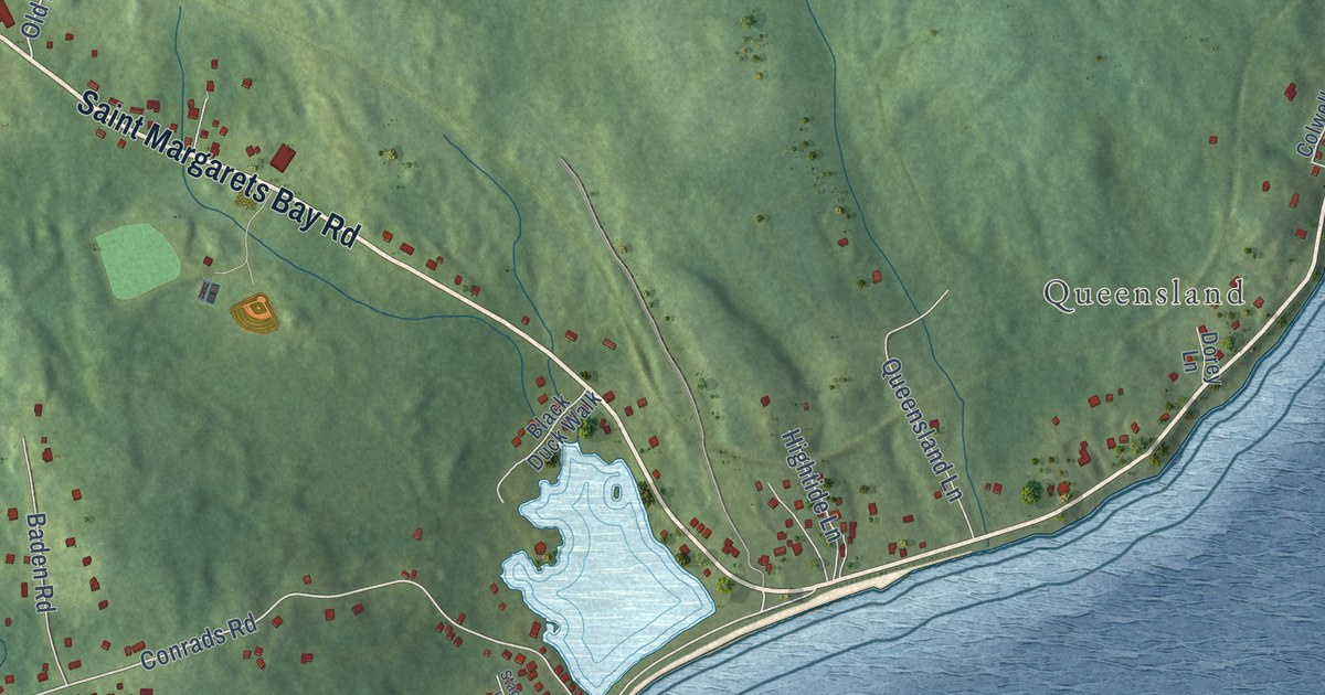
A detailed map of Hubbards, Nova Scotia, showing every building in its true location, the roads by name, and shaded topographical relief.
Read More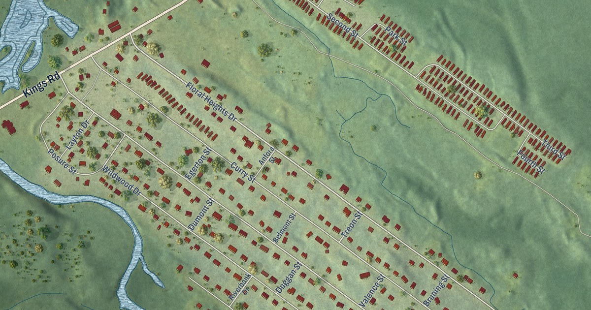
A detailed map of Howie Centre, Nova Scotia, showing every building in its true location, the roads by name, and shaded topographical relief.
Read More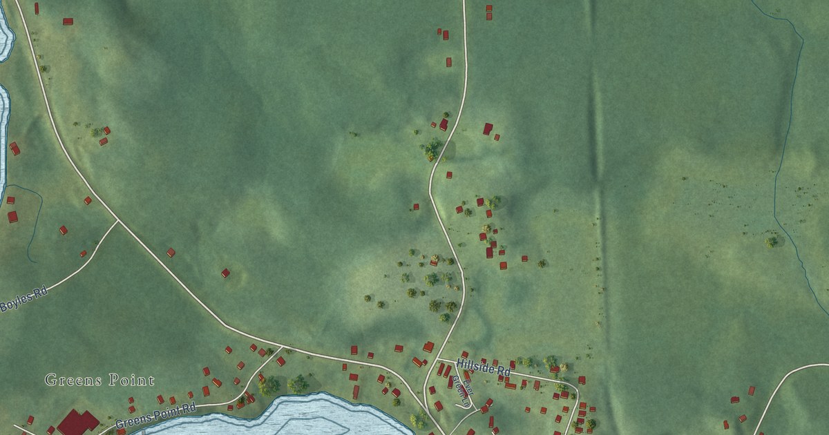
A detailed map of Hillside, Nova Scotia, showing every building in its true location, the roads by name, and shaded topographical relief.
Read More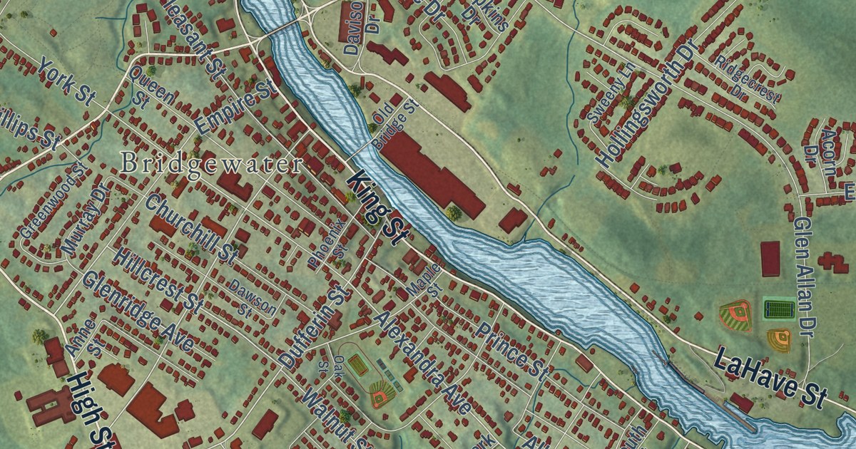
A detailed map of Hebbville, Nova Scotia, showing every building in its true location, the roads by name, and shaded topographical relief.
Read More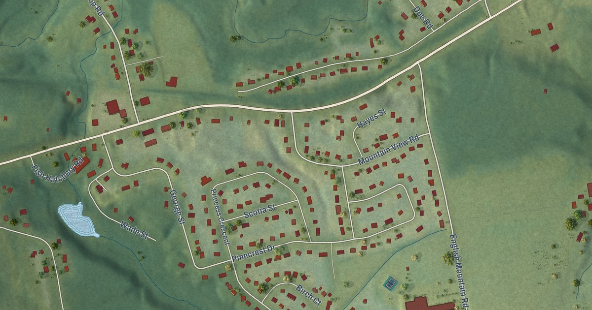
A detailed map of Hayes Subdivision, Nova Scotia, showing every building in its true location, the roads by name, and shaded topographical relief.
Read More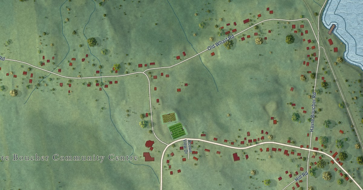
A detailed map of Havre Boucher, Nova Scotia, showing every building in its true location, the roads by name, and shaded topographical relief.
Read More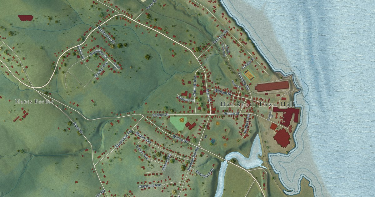
A detailed map of Hantsport, Nova Scotia, showing every building in its true location, the roads by name, and shaded topographical relief.
Read More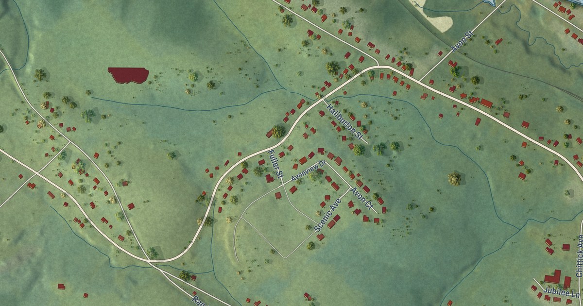
A detailed map of Hants Border, Nova Scotia, showing every building in its true location, the roads by name, and shaded topographical relief.
Read More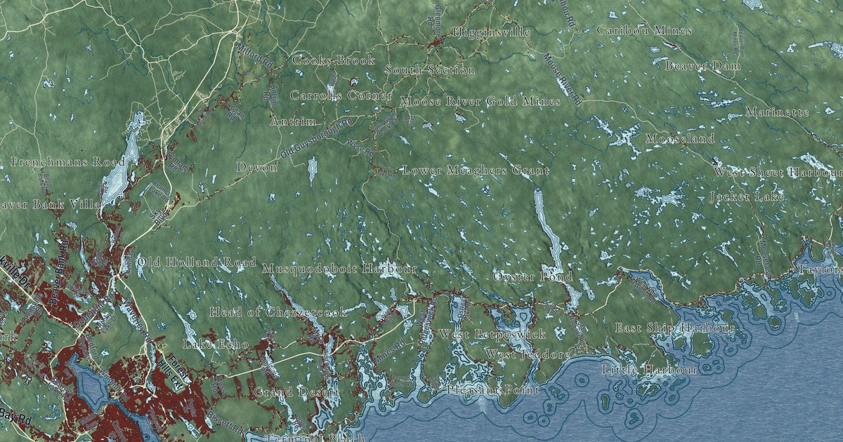
A detailed map of Halifax, Nova Scotia, showing every building in its true location, the roads by name, and shaded topographical relief.
Read More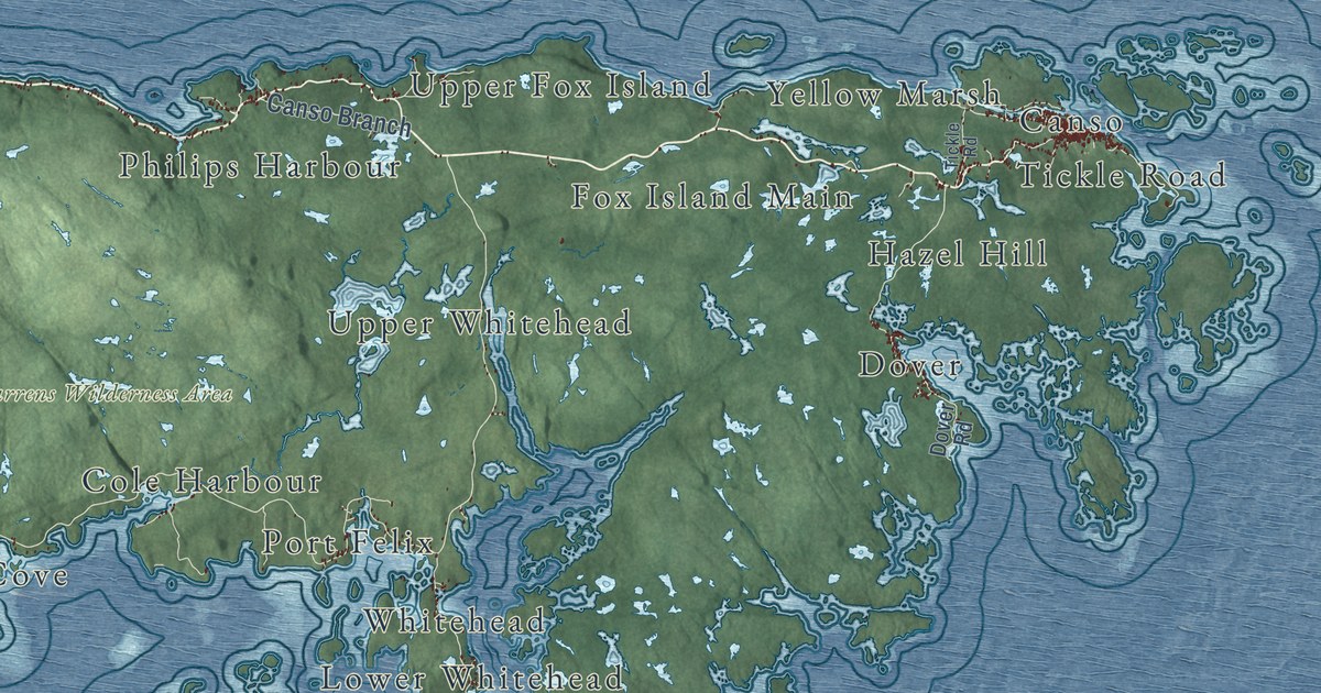
A detailed map of District of Guysborough, Nova Scotia, showing every building in its true location, the roads by name, and shaded topographical relief.
Read More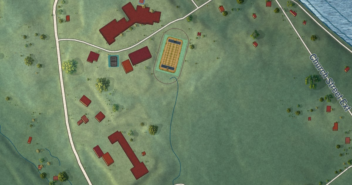
A detailed map of Guysborough, Nova Scotia, showing every building in its true location, the roads by name, and shaded topographical relief.
Read More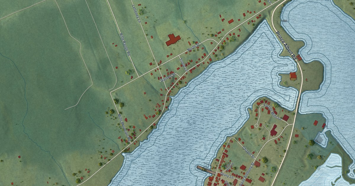
A detailed map of Granville Ferry, Nova Scotia, showing every building in its true location, the roads by name, and shaded topographical relief.
Read More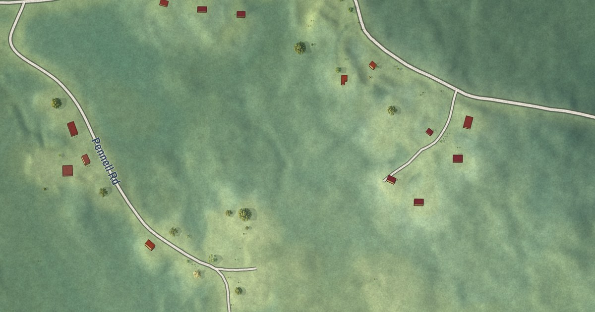
A detailed map of Gold River (Wasoqopa’q First Nation), Nova Scotia, showing every building in its true location, the roads by name, and shaded topographical relief.
Read More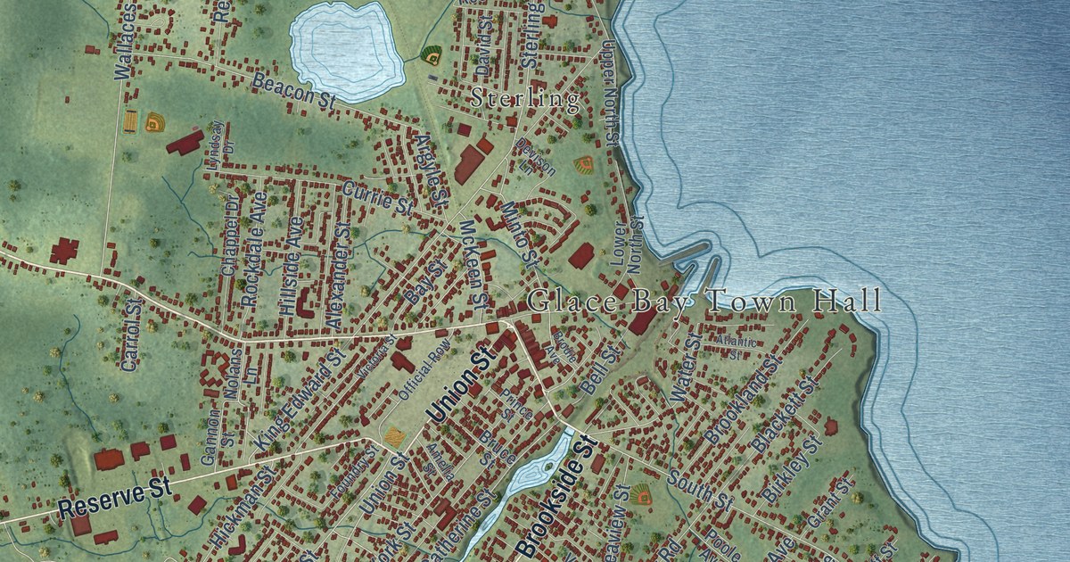
A detailed map of Glace Bay, Nova Scotia, showing every building in its true location, the roads by name, and shaded topographical relief.
Read More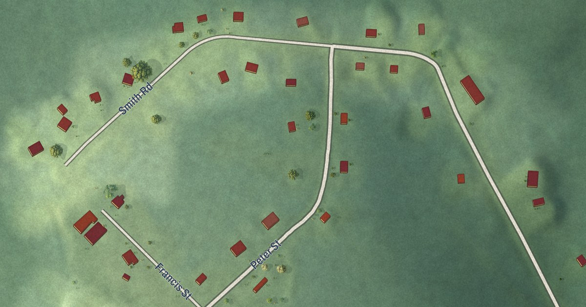
A detailed map of Glooscap First Nation, Nova Scotia, showing every building in its true location, the roads by name, and shaded topographical relief.
Read More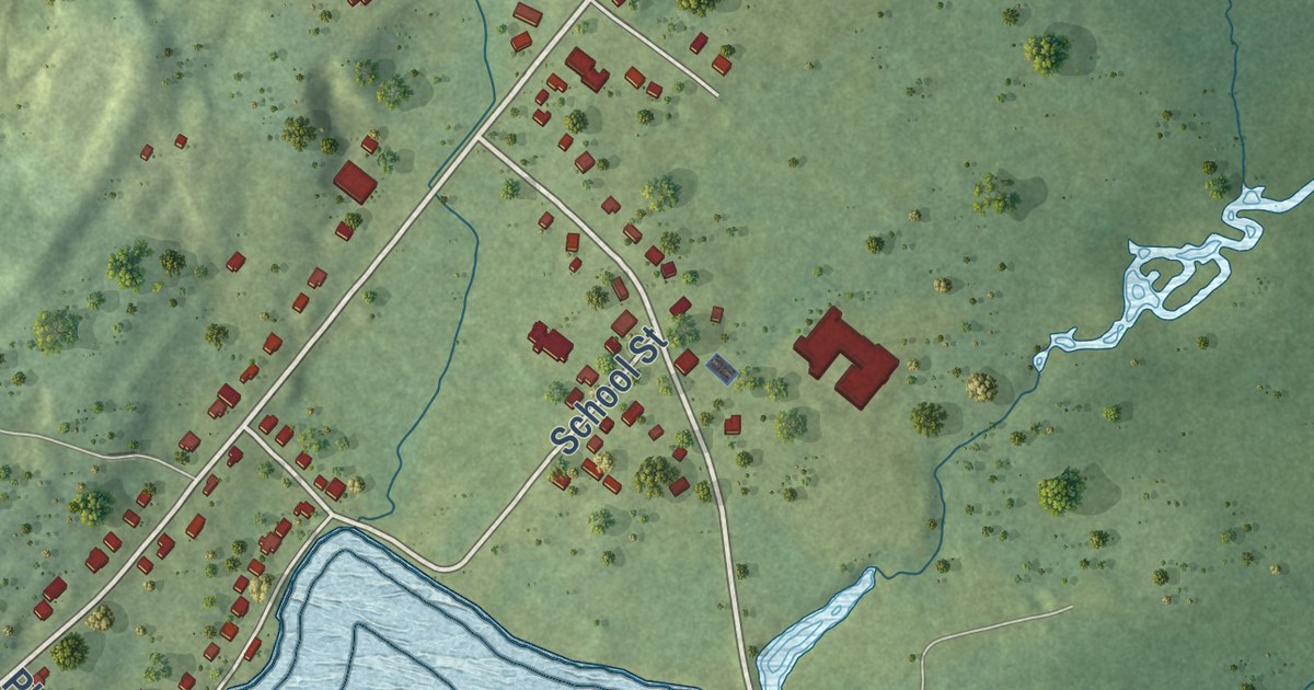
A detailed map of Freeport, Nova Scotia, showing every building in its true location, the roads by name, and shaded topographical relief.
Read More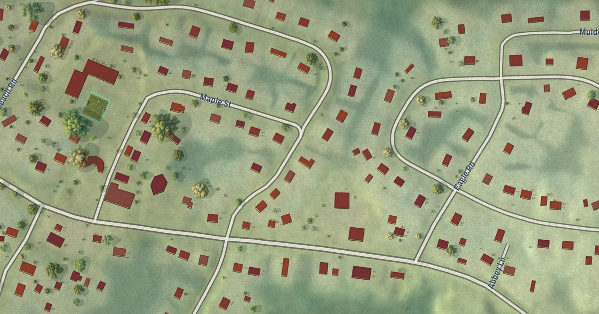
A detailed map of Pictou Landing First Nation, Nova Scotia, showing every building in its true location, the roads by name, and shaded topographical relief.
Read More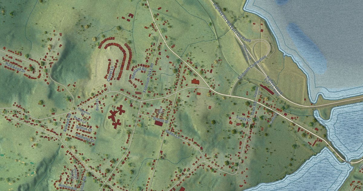
A detailed map of Falmouth, Nova Scotia, showing every building in its true location, the roads by name, and shaded topographical relief.
Read More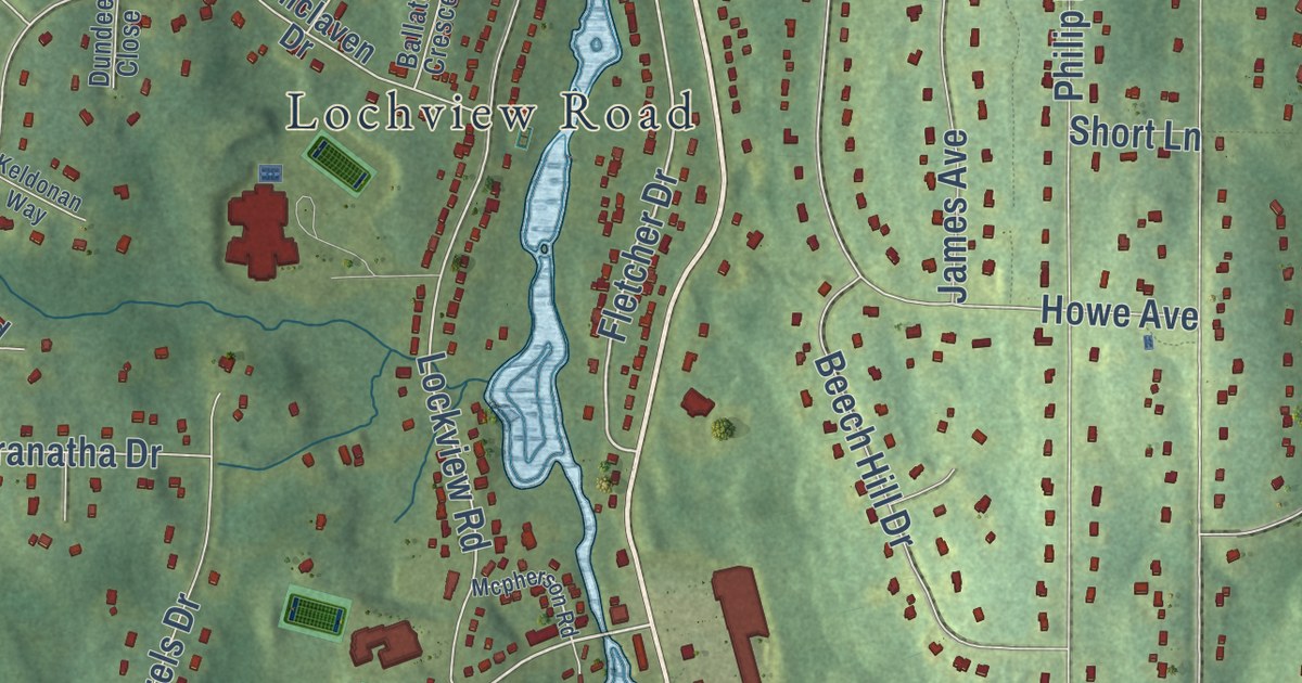
A detailed map of Fall River, Nova Scotia, showing every building in its true location, the roads by name, and shaded topographical relief.
Read More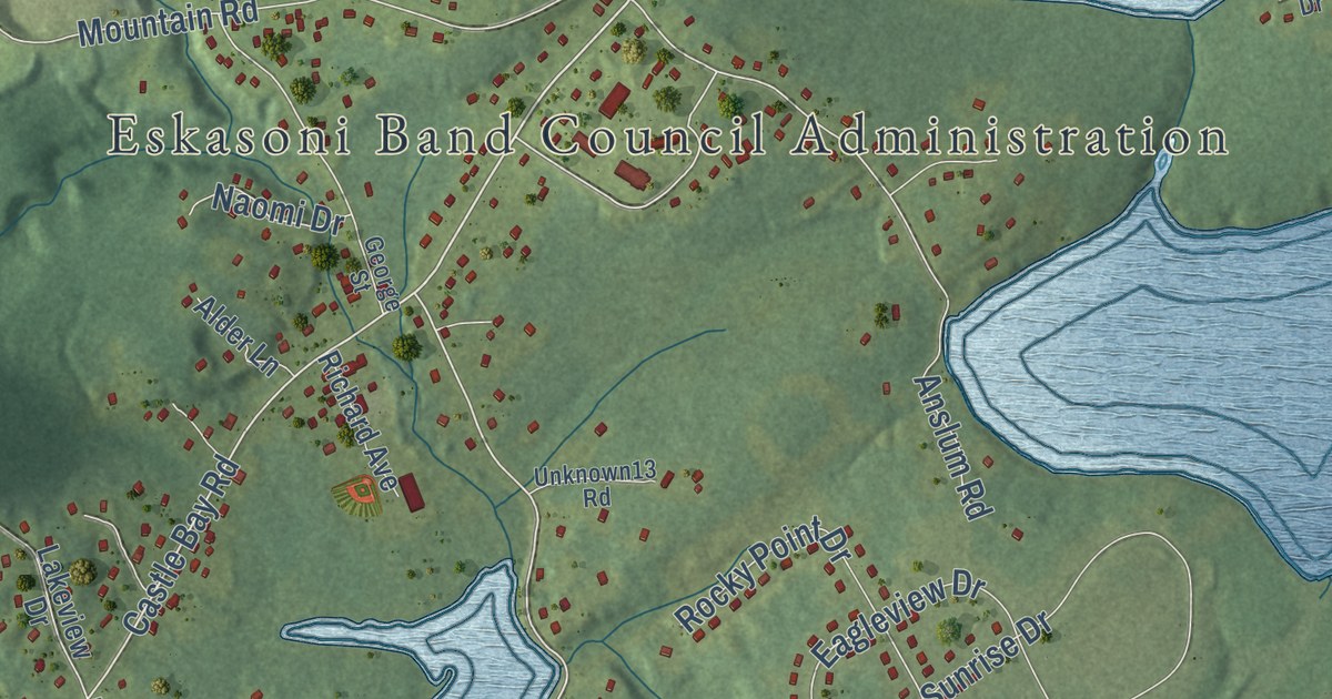
A detailed map of Eskasoni, Nova Scotia, showing every building in its true location, the roads by name, and shaded topographical relief.
Read More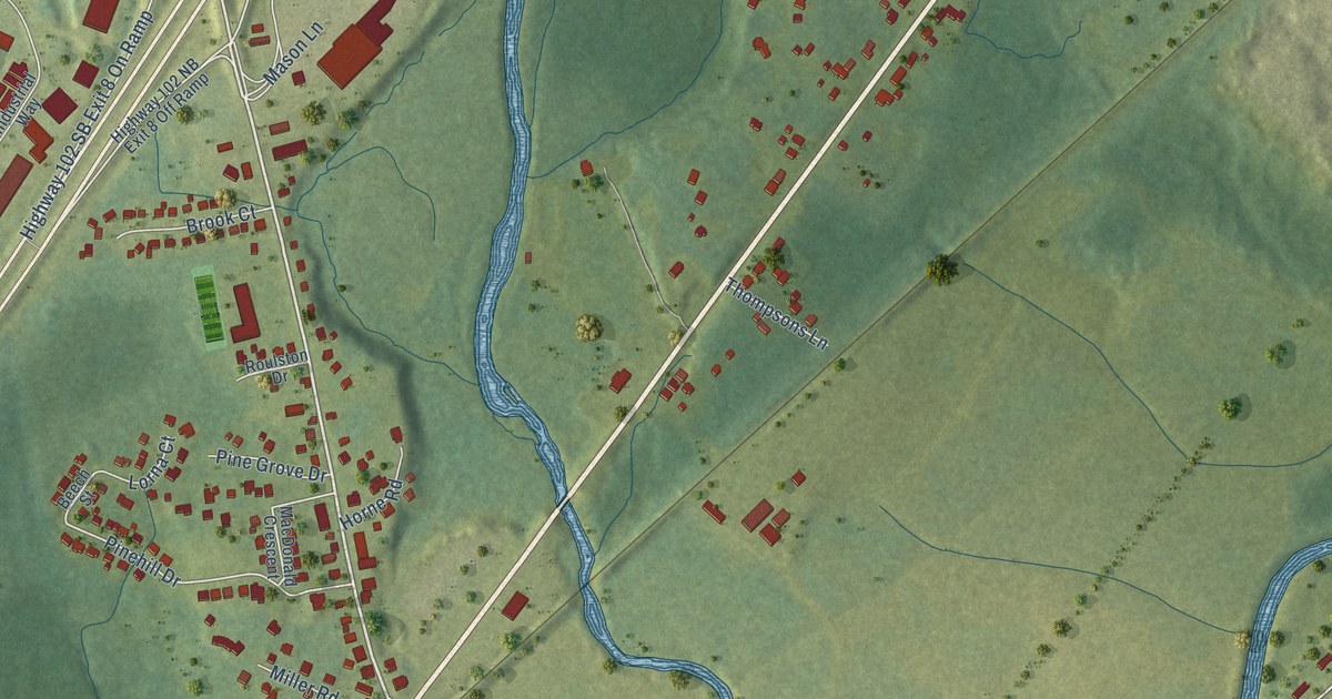
A detailed map of Elmsdale, Nova Scotia, showing every building in its true location, the roads by name, and shaded topographical relief.
Read More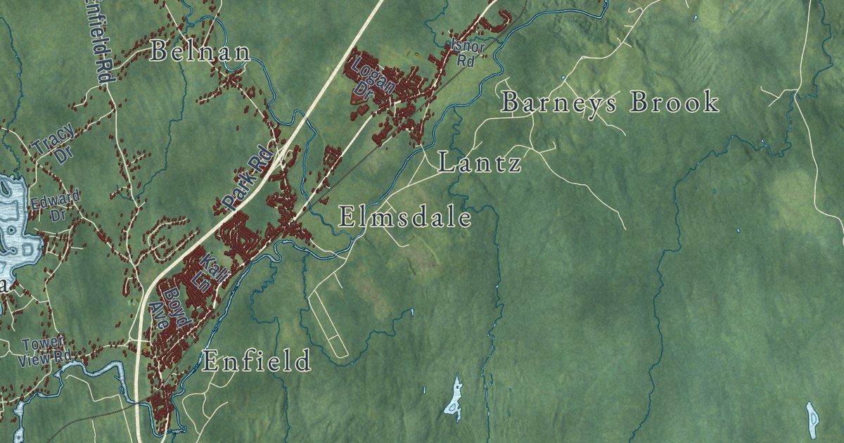
A detailed map of East Hants, Nova Scotia, showing every building in its true location, the roads by name, and shaded topographical relief.
Read More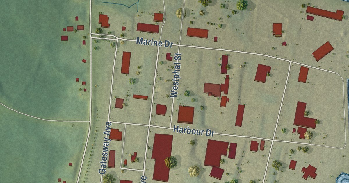
A detailed map of Edwardsville, Nova Scotia, showing every building in its true location, the roads by name, and shaded topographical relief.
Read More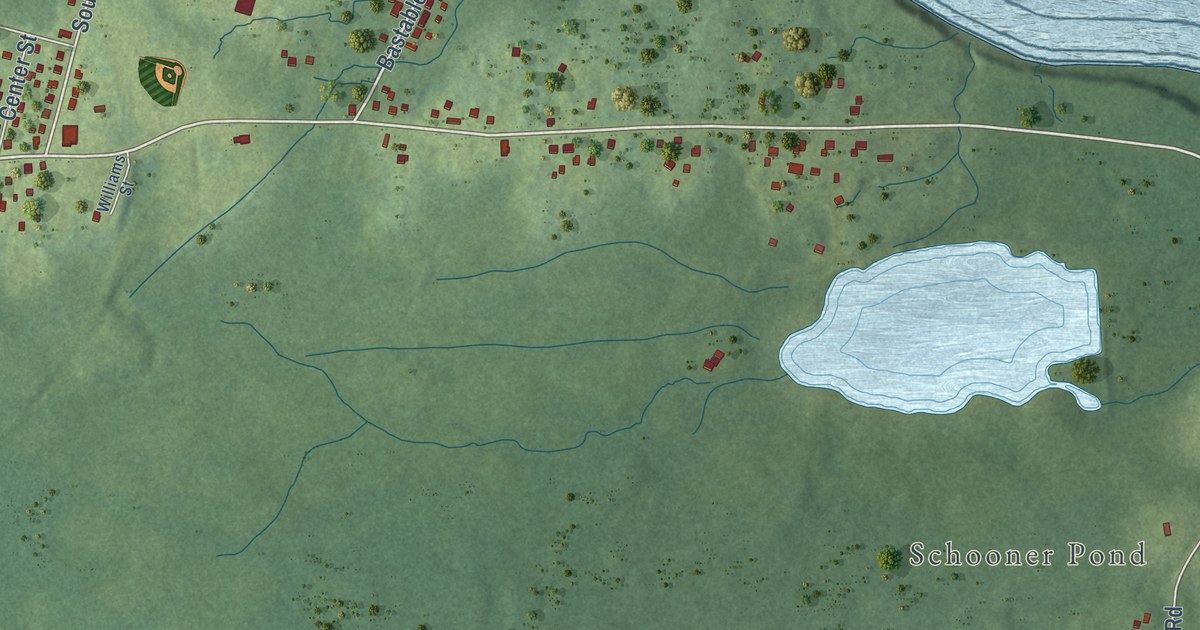
A detailed map of Donkin, Nova Scotia, showing every building in its true location, the roads by name, and shaded topographical relief.
Read More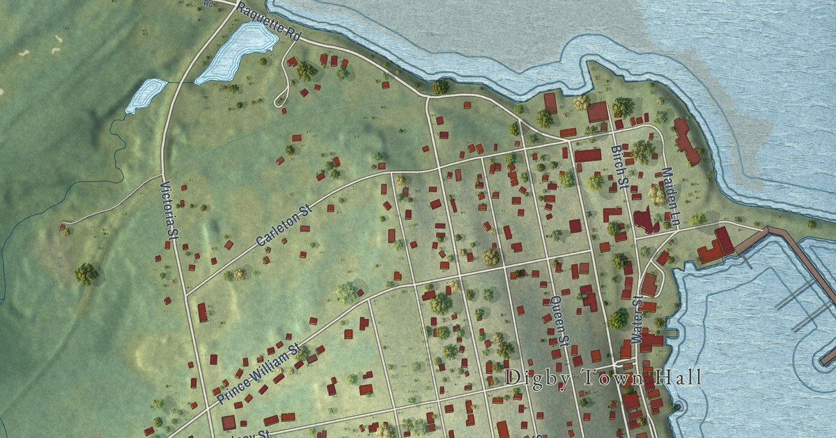
A detailed map of Digby, Nova Scotia, showing every building in its true location, the roads by name, and shaded topographical relief.
Read More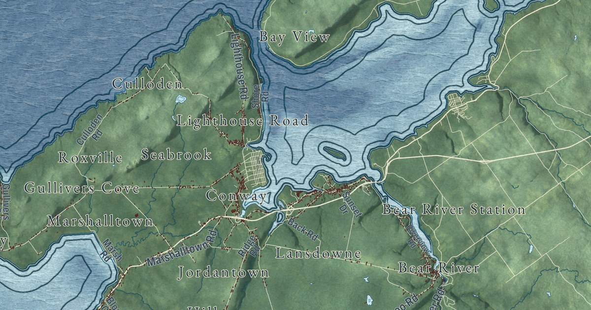
A detailed map of District of Digby, Nova Scotia, showing every building in its true location, the roads by name, and shaded topographical relief.
Read More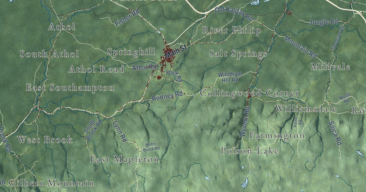
A detailed map of Cumberland County, Nova Scotia, showing every building in its true location, the roads by name, and shaded topographical relief.
Read More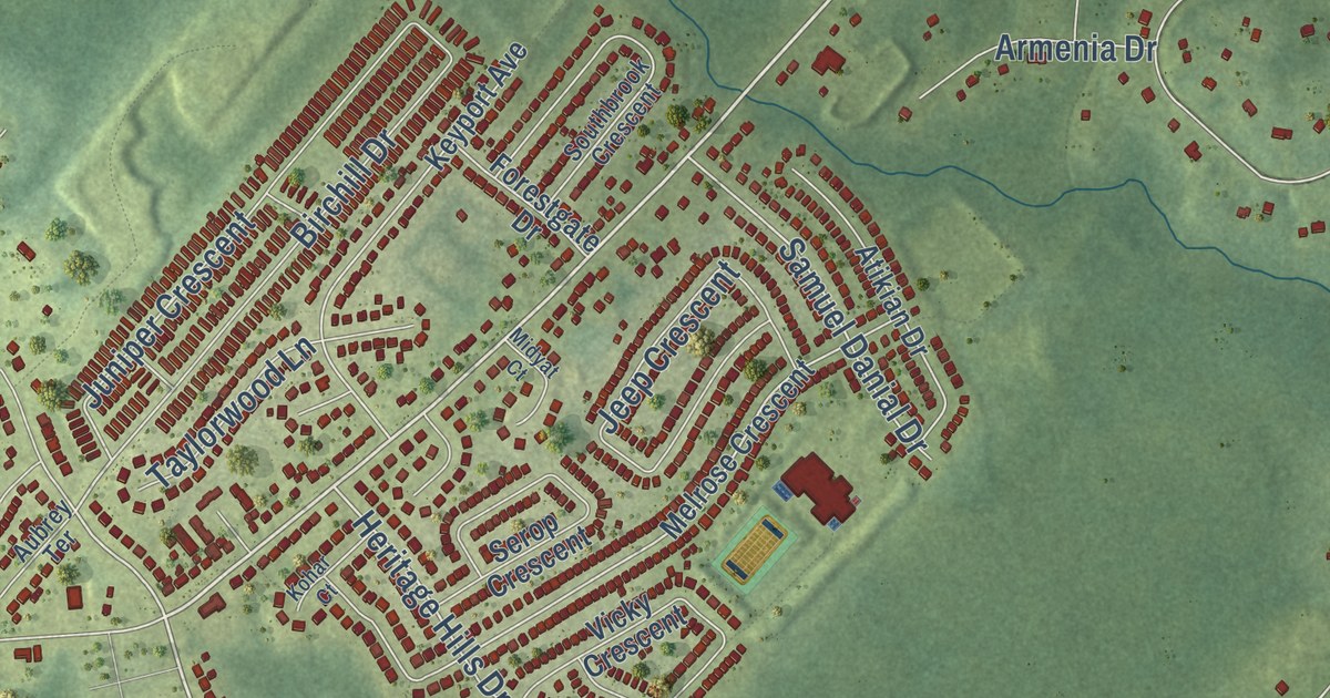
A detailed map of Cow Bay, Nova Scotia, showing every building in its true location, the roads by name, and shaded topographical relief.
Read More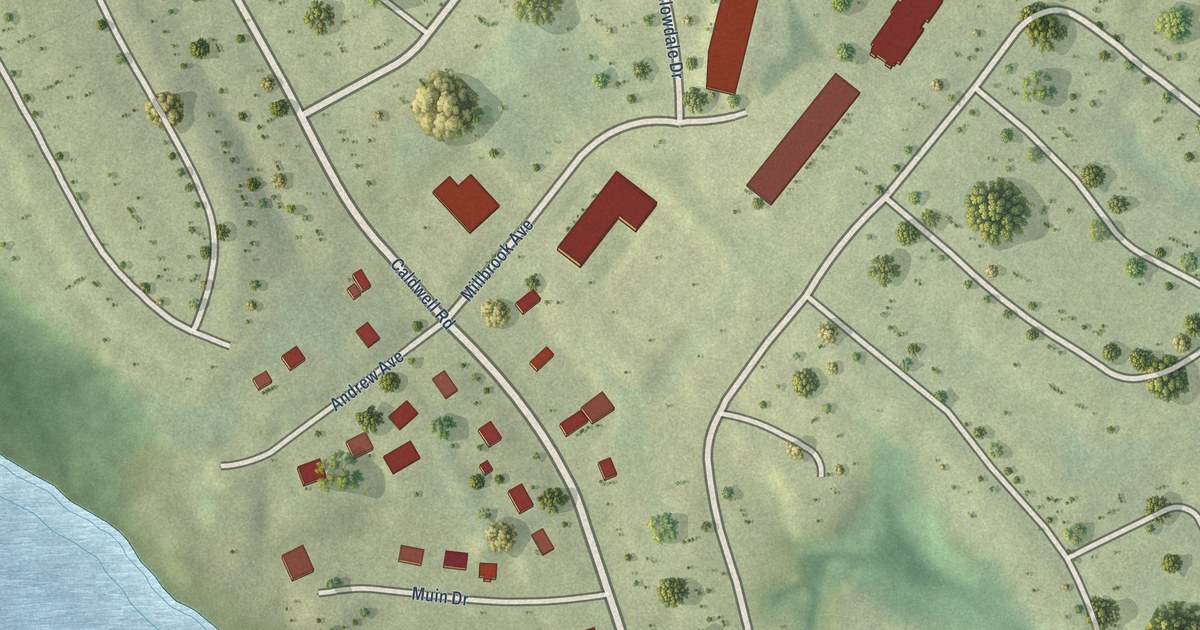
A detailed map of Cole Harbour (Millbrook First Nation), Nova Scotia, showing every building in its true location, the roads by name, and shaded topographical relief.
Read More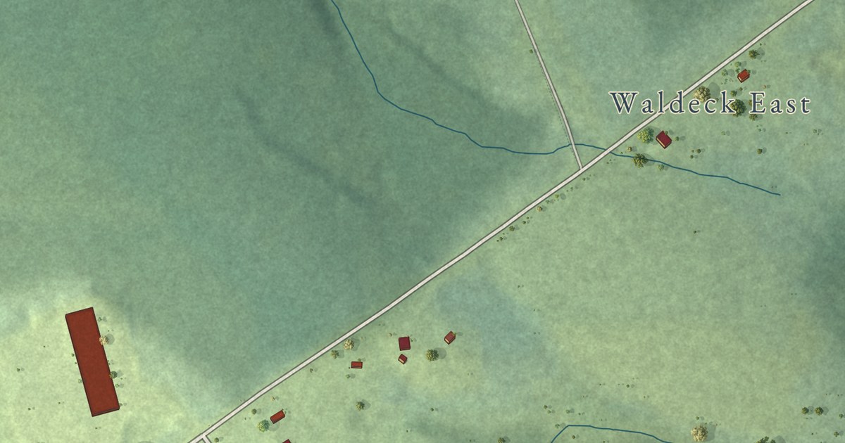
A detailed map of Cornwallis Park, Nova Scotia, showing every building in its true location, the roads by name, and shaded topographical relief.
Read More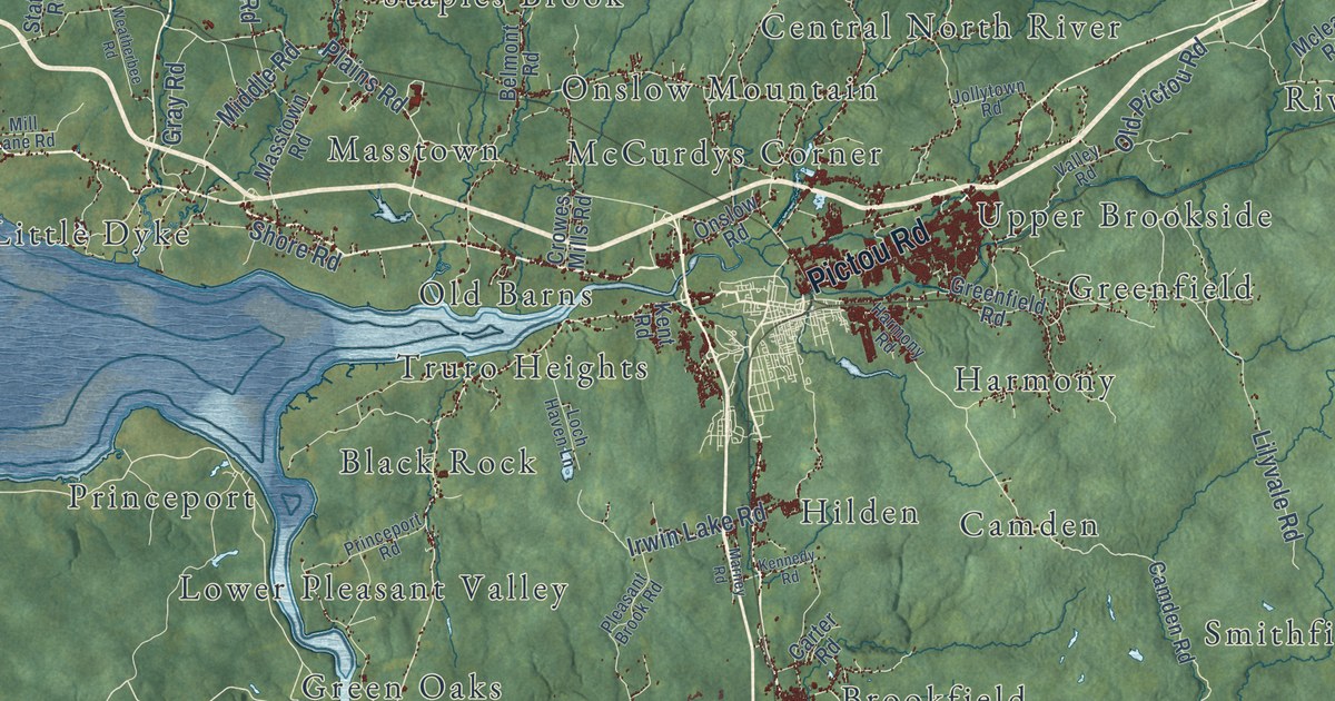
A detailed map of Colchester County, Nova Scotia, showing every building in its true location, the roads by name, and shaded topographical relief.
Read More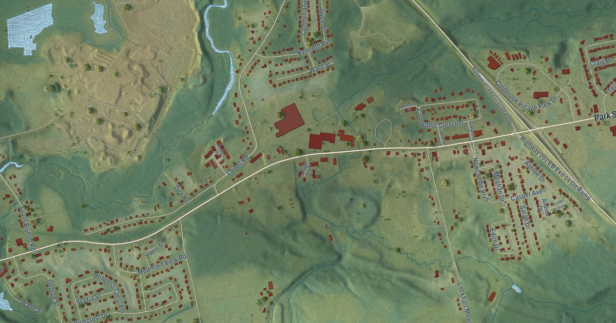
A detailed map of Coldbrook, Nova Scotia, showing every building in its true location, the roads by name, and shaded topographical relief.
Read More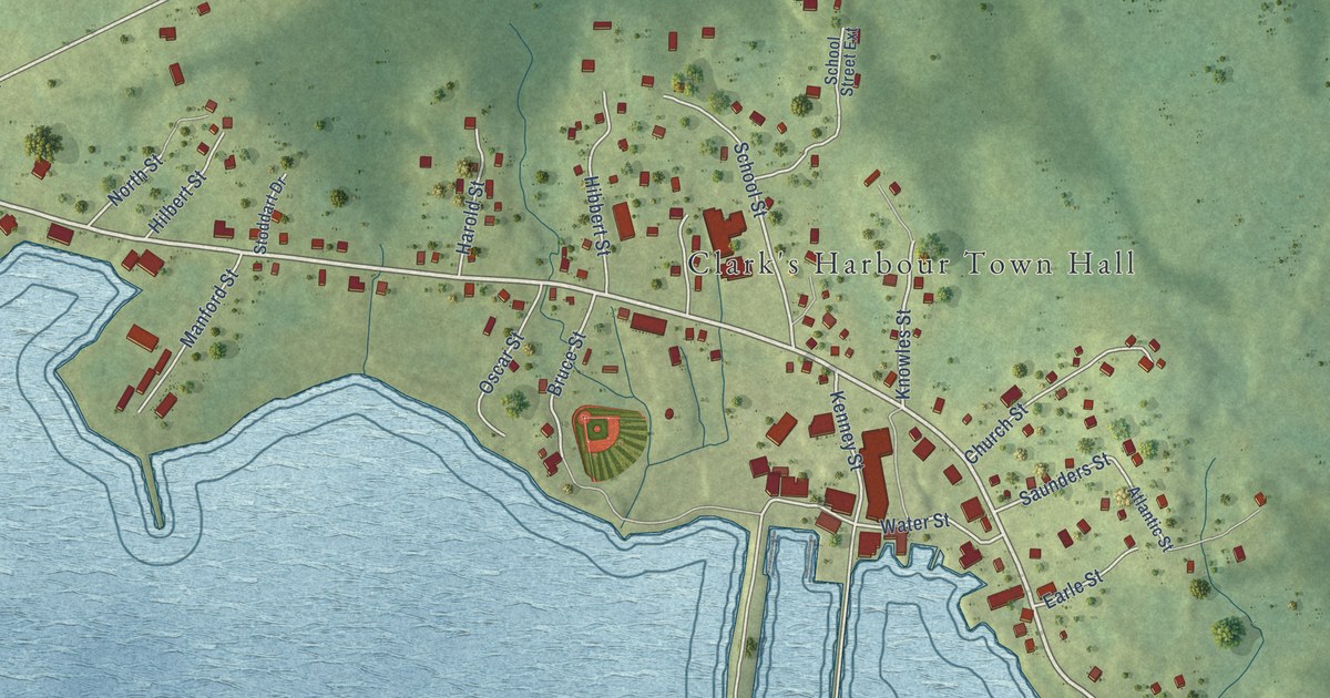
A detailed map of Clark’s Harbour, Nova Scotia, showing every building in its true location, the roads by name, and shaded topographical relief.
Read More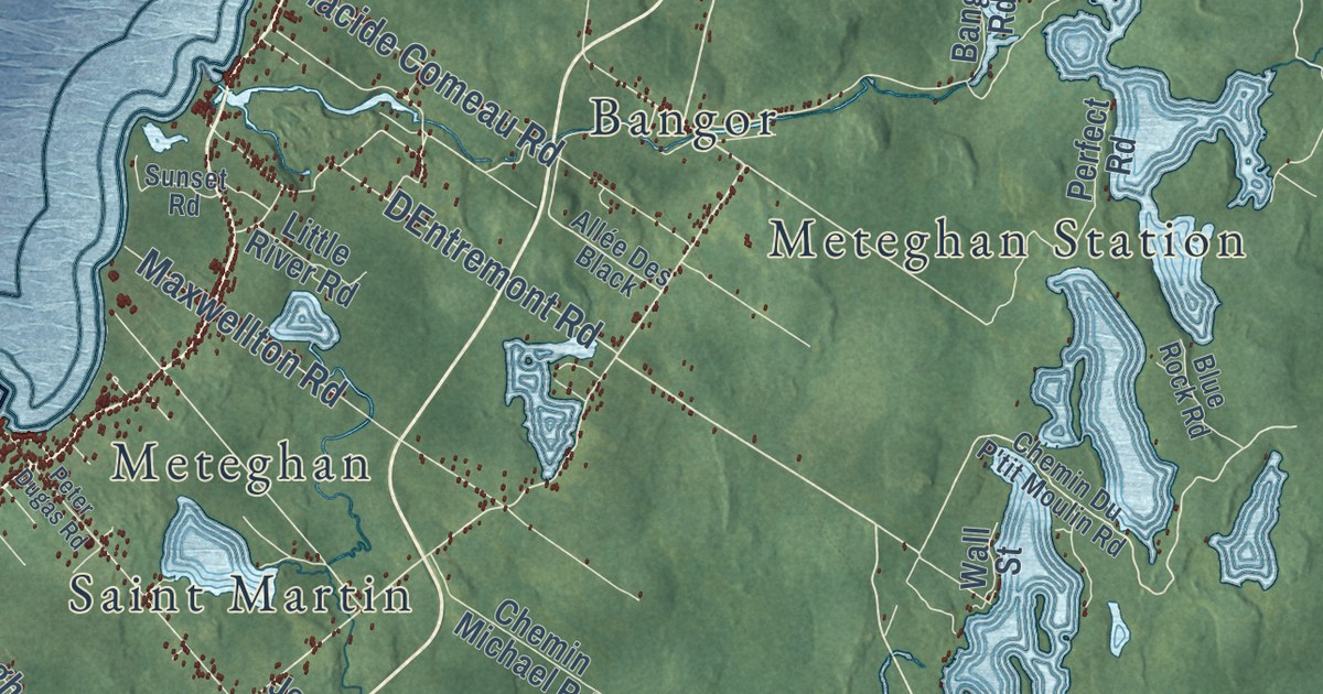
A detailed map of Clare, Nova Scotia, showing every building in its true location, the roads by name, and shaded topographical relief.
Read More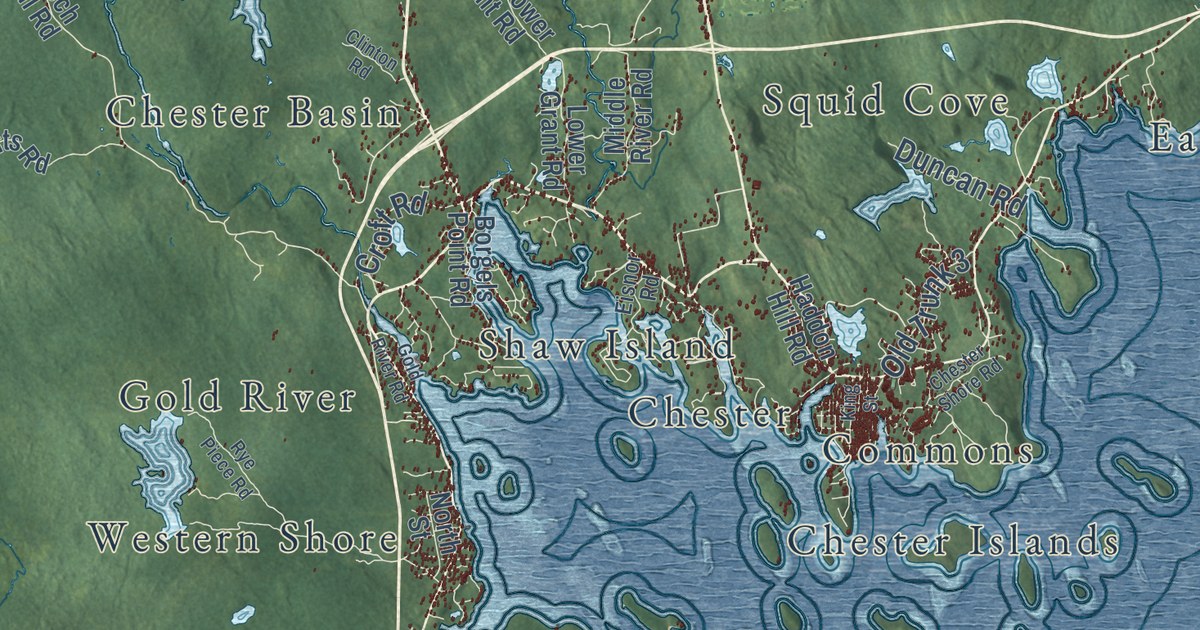
A detailed map of District of Chester, Nova Scotia, showing every building in its true location, the roads by name, and shaded topographical relief.
Read More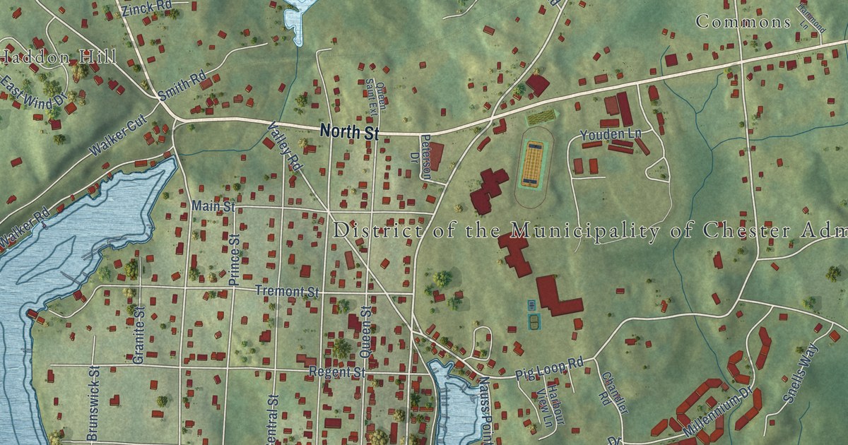
A detailed map of Chester, Nova Scotia, showing every building in its true location, the roads by name, and shaded topographical relief.
Read More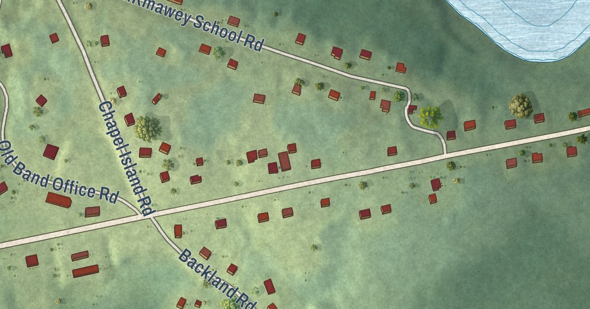
A detailed map of Potlotek, Nova Scotia, showing every building in its true location, the roads by name, and shaded topographical relief.
Read More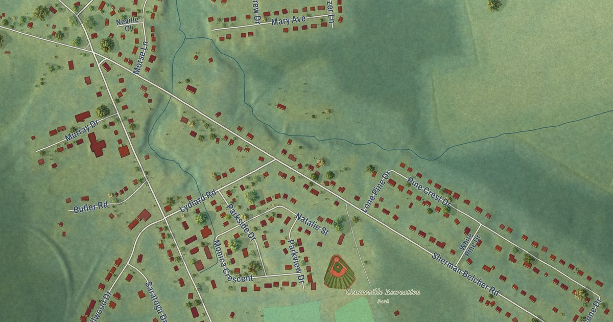
A detailed map of Centreville, Nova Scotia, showing every building in its true location, the roads by name, and shaded topographical relief.
Read More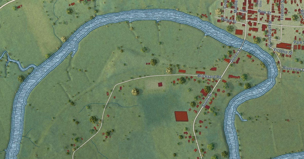
A detailed map of Carleton Corner, Nova Scotia, showing every building in its true location, the roads by name, and shaded topographical relief.
Read More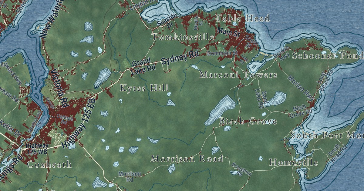
A detailed map of Cape Breton Regional Municipality, Nova Scotia, showing every building in its true location, the roads by name, and shaded topographical relief.
Read More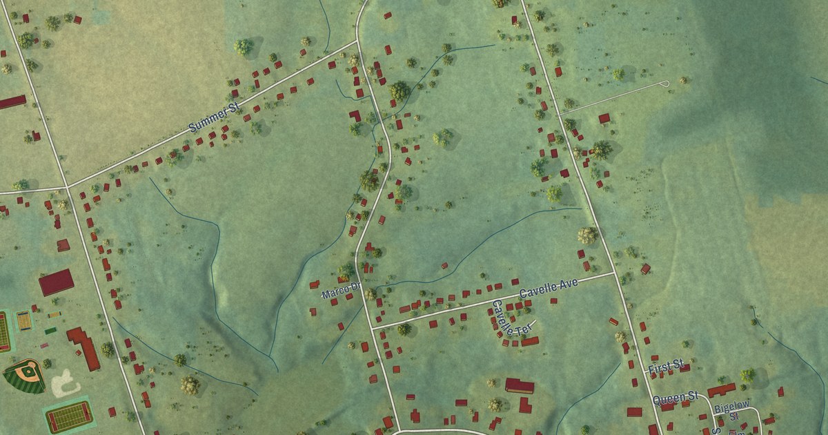
A detailed map of Canning, Nova Scotia, showing every building in its true location, the roads by name, and shaded topographical relief.
Read More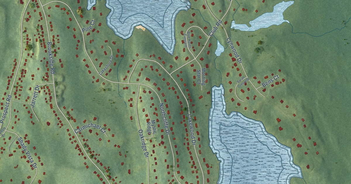
A detailed map of Brookside, Nova Scotia, showing every building in its true location, the roads by name, and shaded topographical relief.
Read More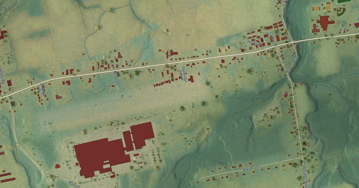
A detailed map of Cambridge, Nova Scotia, showing every building in its true location, the roads by name, and shaded topographical relief.
Read More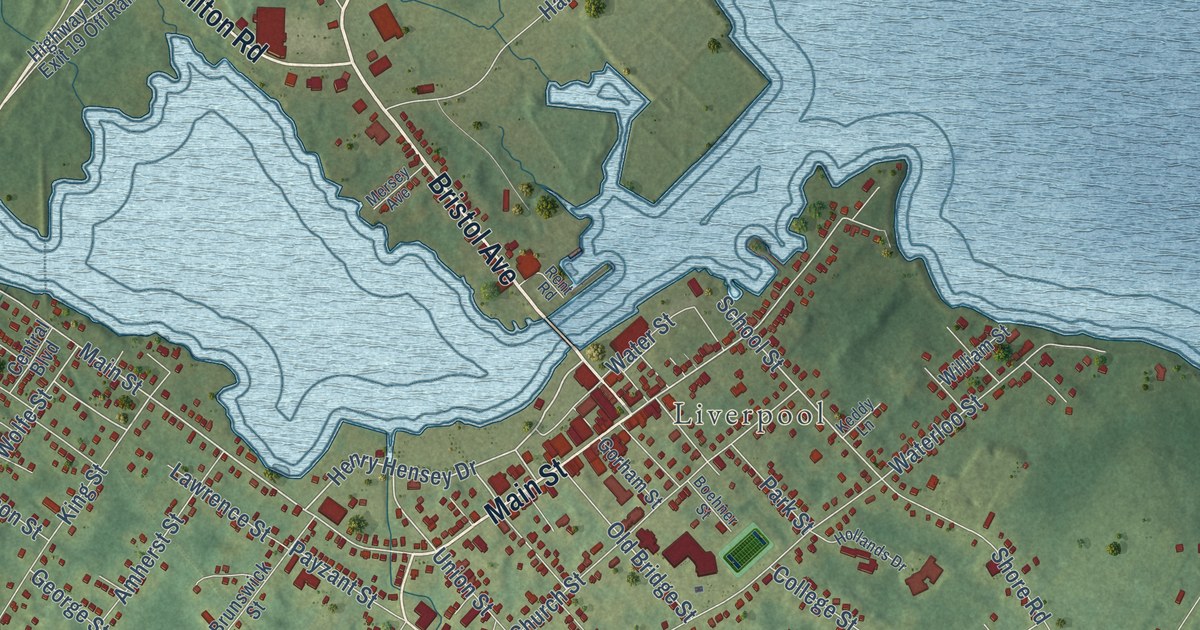
A detailed map of Brooklyn, Nova Scotia, showing every building in its true location, the roads by name, and shaded topographical relief.
Read More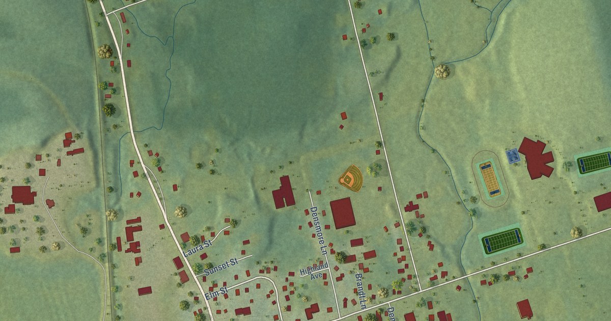
A detailed map of Brookfield, Nova Scotia, showing every building in its true location, the roads by name, and shaded topographical relief.
Read More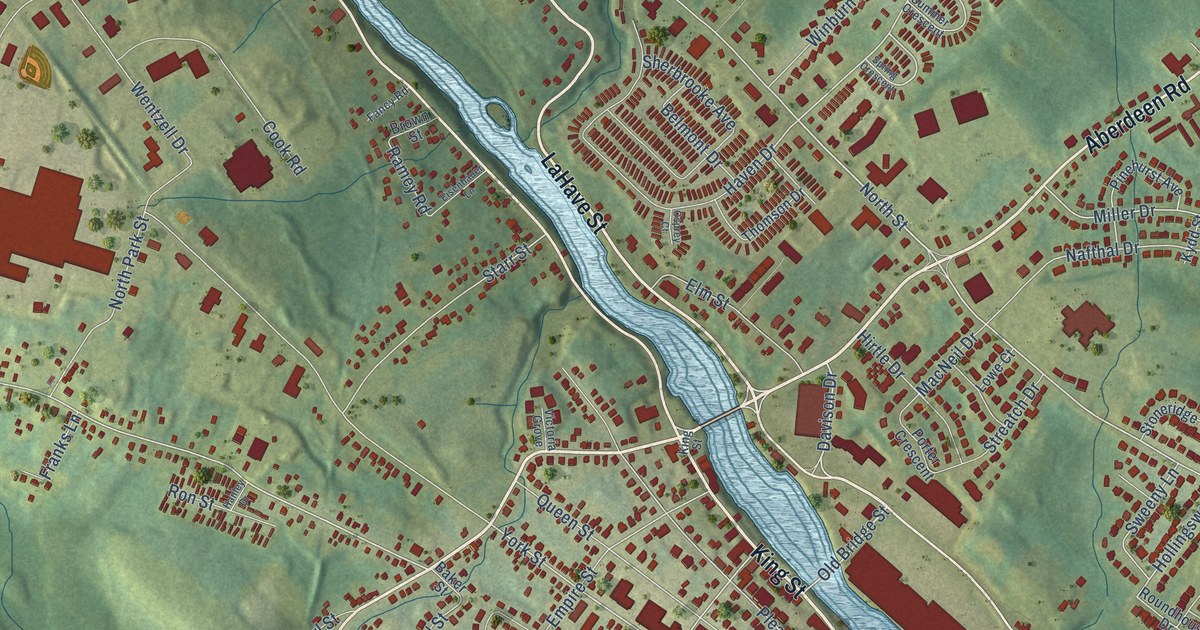
A detailed map of Bridgewater, Nova Scotia, showing every building in its true location, the roads by name, and shaded topographical relief.
Read More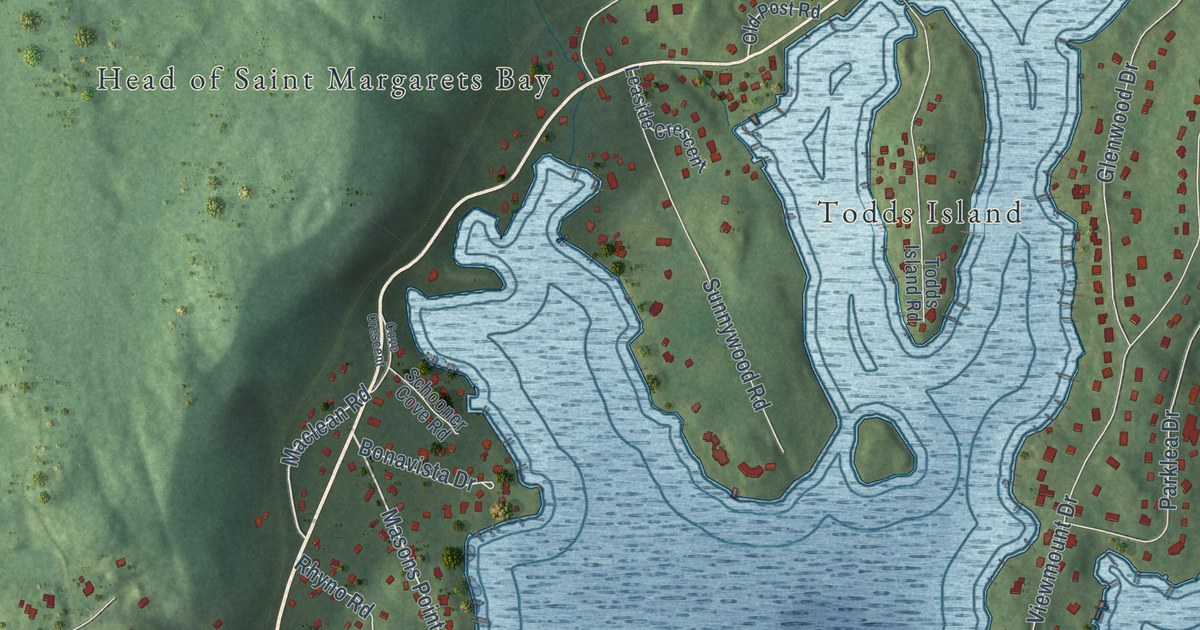
A detailed map of Boutiliers Point, Nova Scotia, showing every building in its true location, the roads by name, and shaded topographical relief.
Read More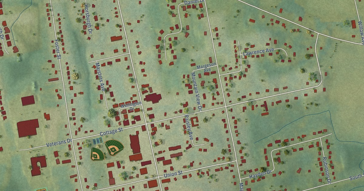
A detailed map of Berwick, Nova Scotia, showing every building in its true location, the roads by name, and shaded topographical relief.
Read More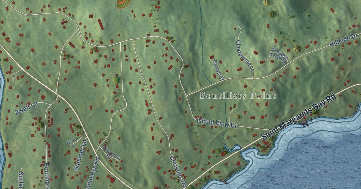
A detailed map of Black Point, Nova Scotia, showing every building in its true location, the roads by name, and shaded topographical relief.
Read More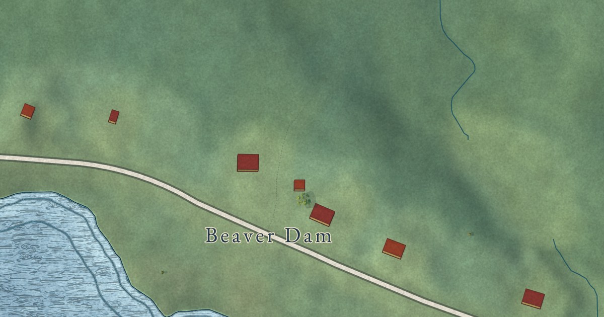
A detailed map of Beaver Lake, Nova Scotia, showing every building in its true location, the roads by name, and shaded topographical relief.
Read More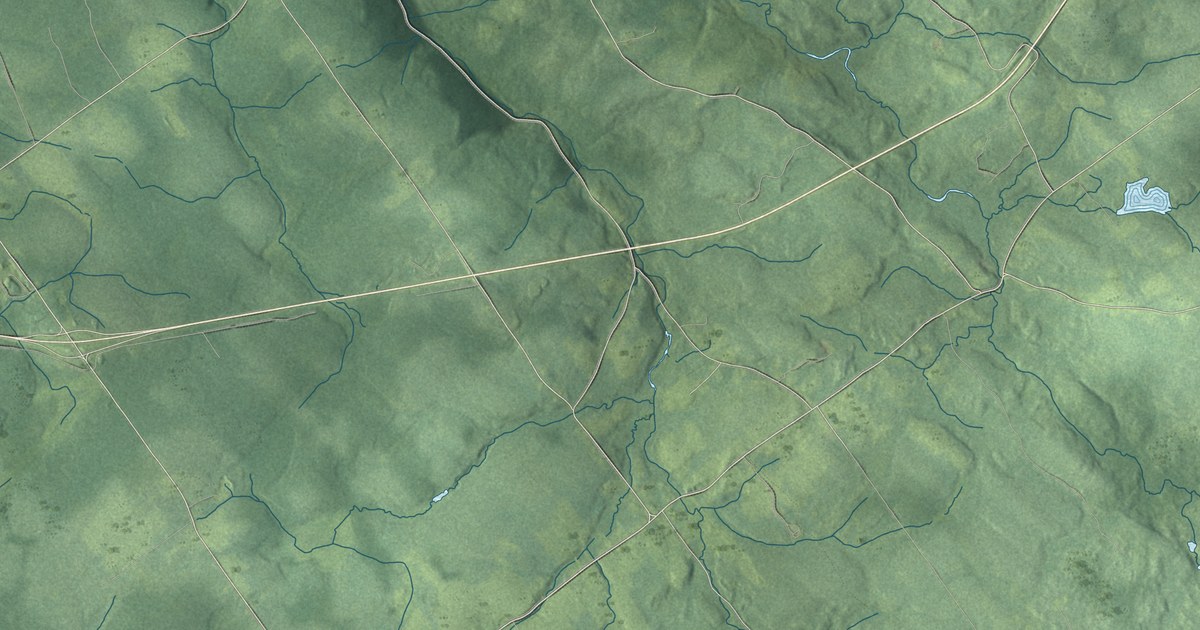
A detailed map of Bear River First Nation, Nova Scotia, showing every building in its true location, the roads by name, and shaded topographical relief.
Read More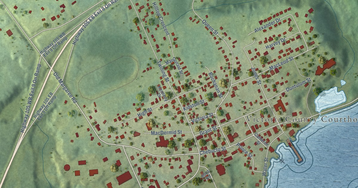
A detailed map of Baddeck, Nova Scotia, showing every building in its true location, the roads by name, and shaded topographical relief.
Read More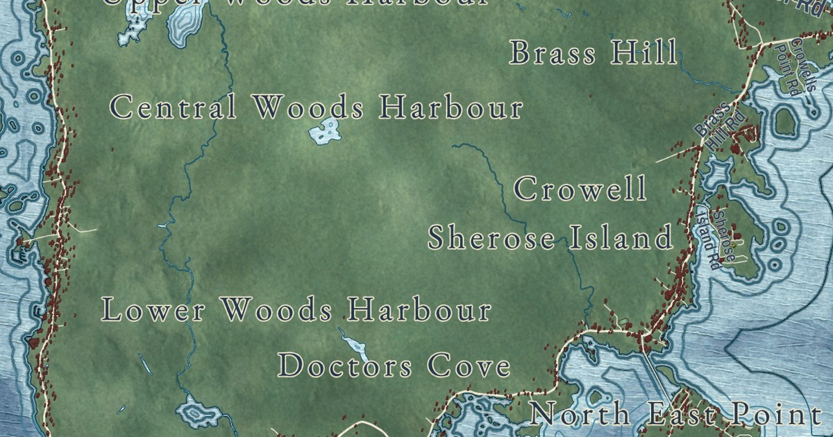
A detailed map of Barrington, Nova Scotia, showing every building in its true location, the roads by name, and shaded topographical relief.
Read More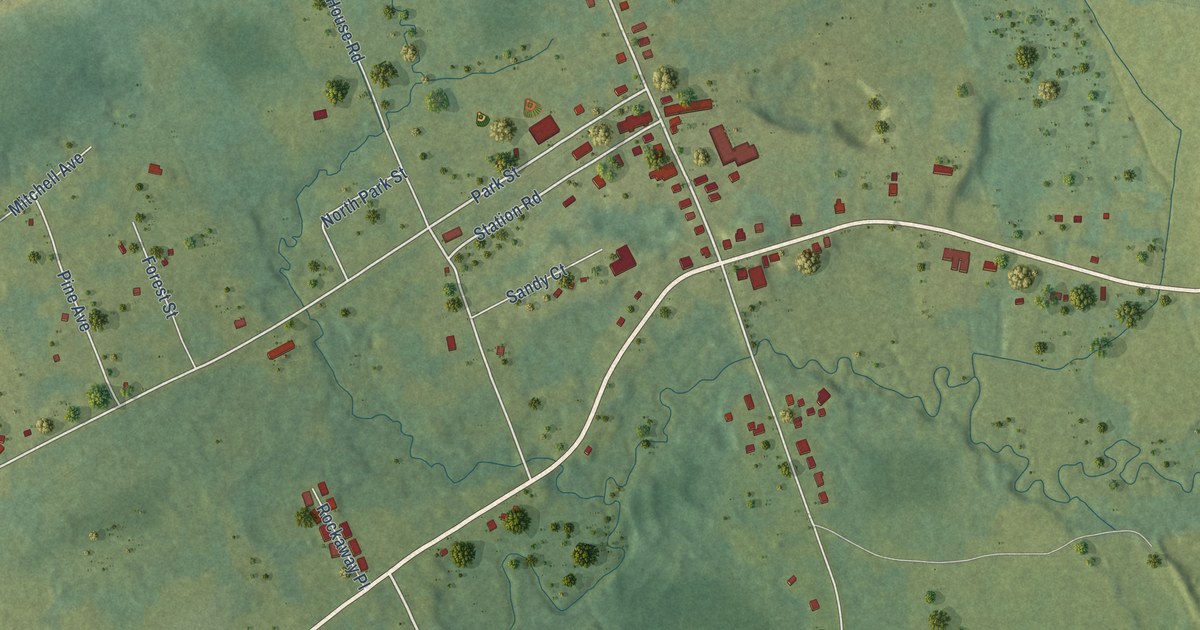
A detailed map of Aylesford, Nova Scotia, showing every building in its true location, the roads by name, and shaded topographical relief.
Read More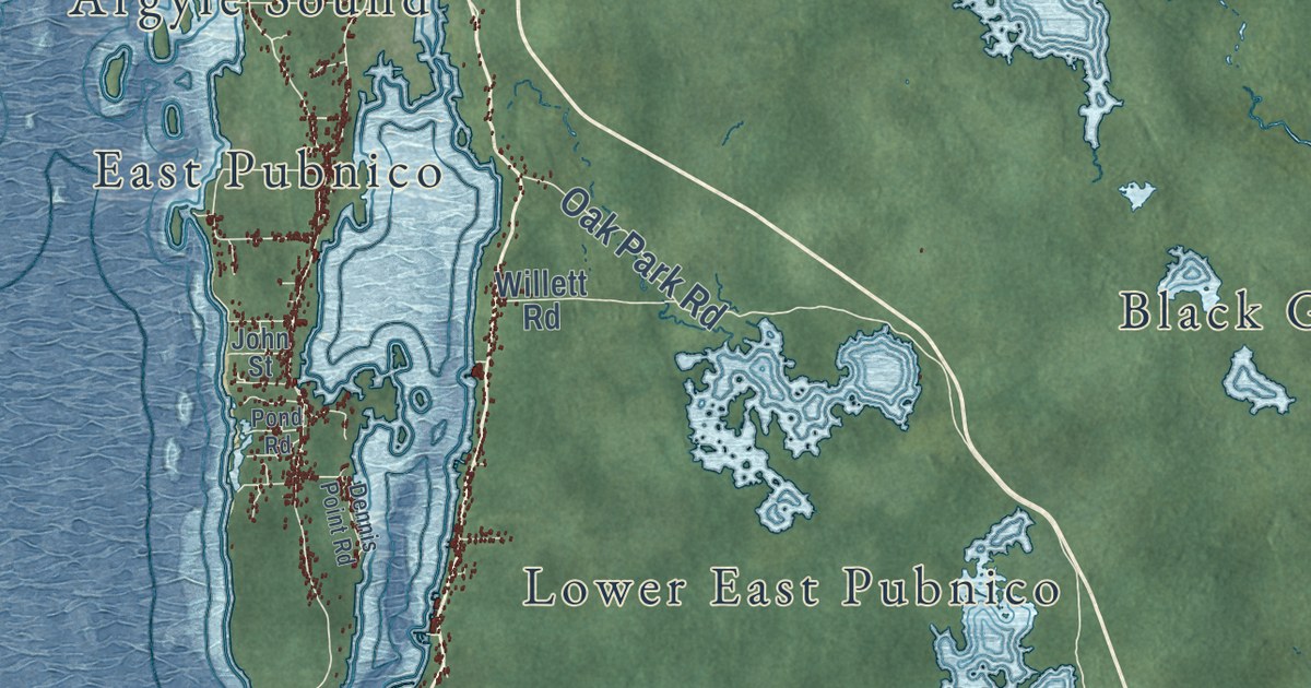
A detailed map of Argyle, Nova Scotia, showing every building in its true location, the roads by name, and shaded topographical relief.
Read More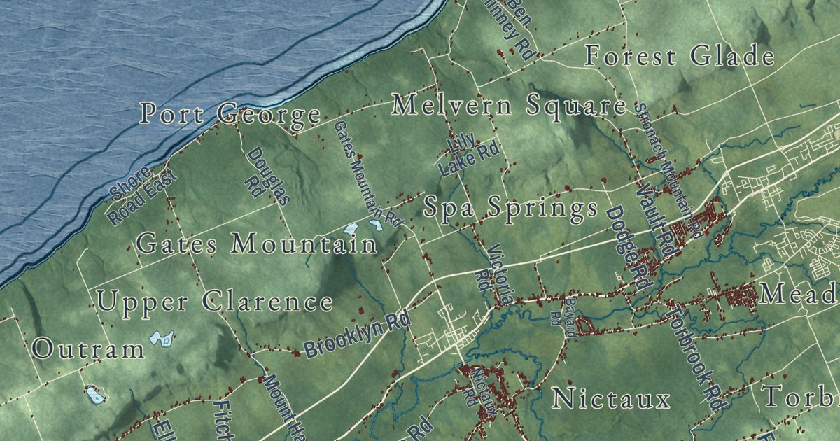
A detailed map of Annapolis County, Nova Scotia, showing every building in its true location, the roads by name, and shaded topographical relief.
Read More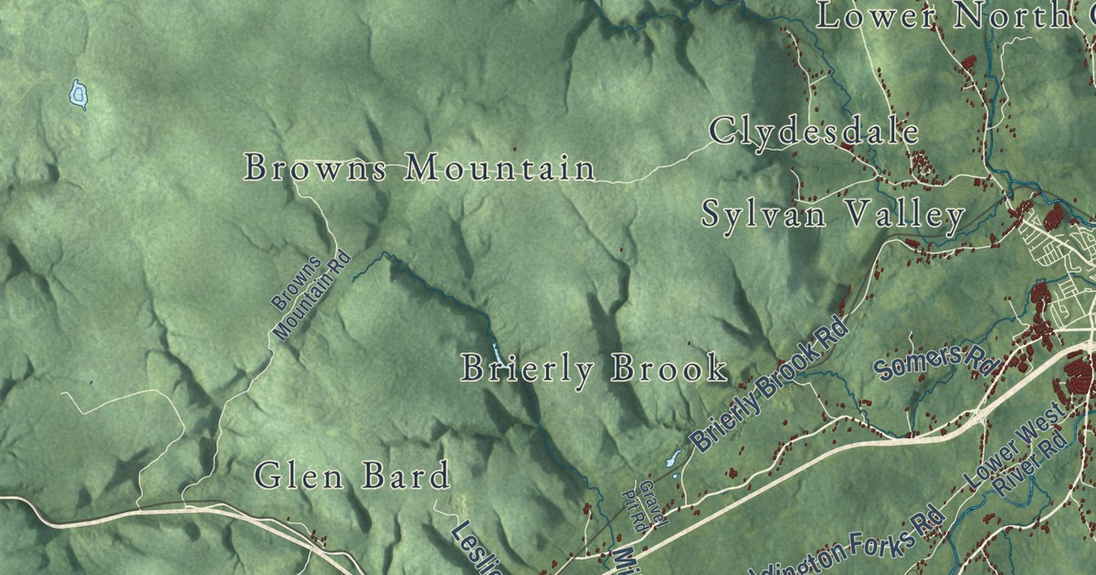
A detailed map of Antigonish County, Nova Scotia, showing every building in its true location, the roads by name, and shaded topographical relief.
Read More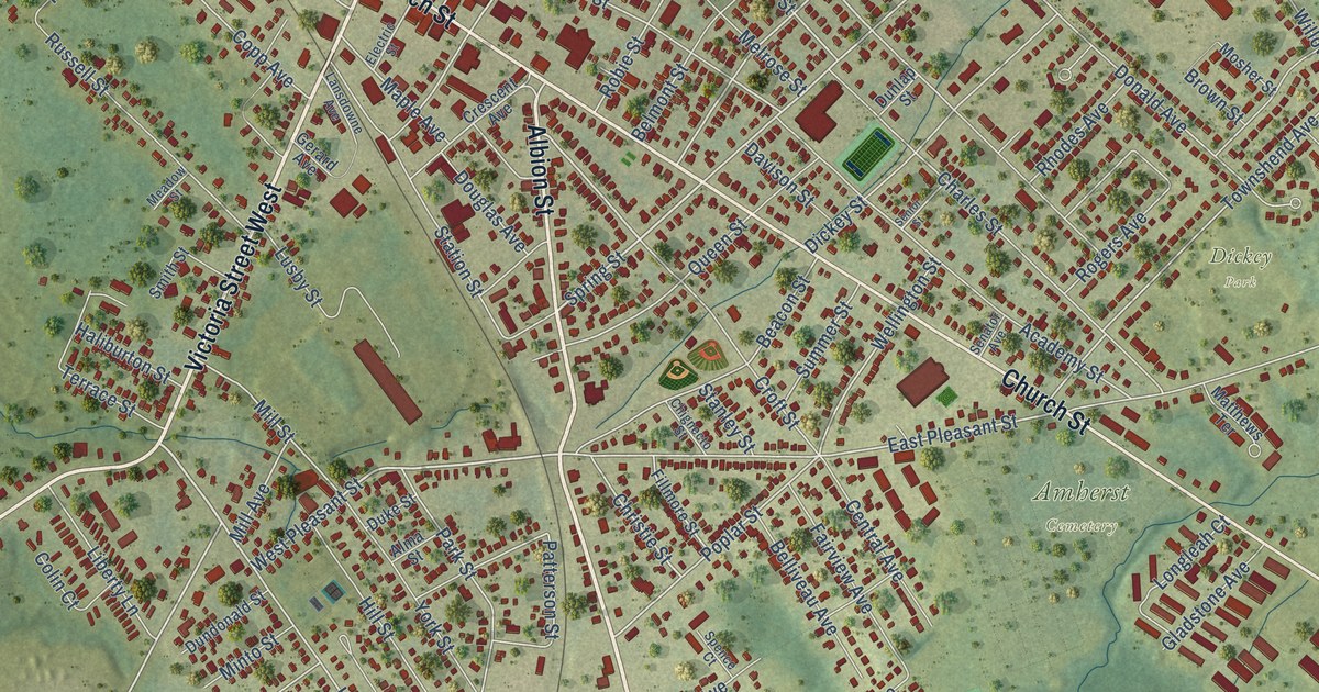
A detailed map of Amherst, Nova Scotia, showing every building in its true location, the roads by name, and shaded topographical relief.
Read More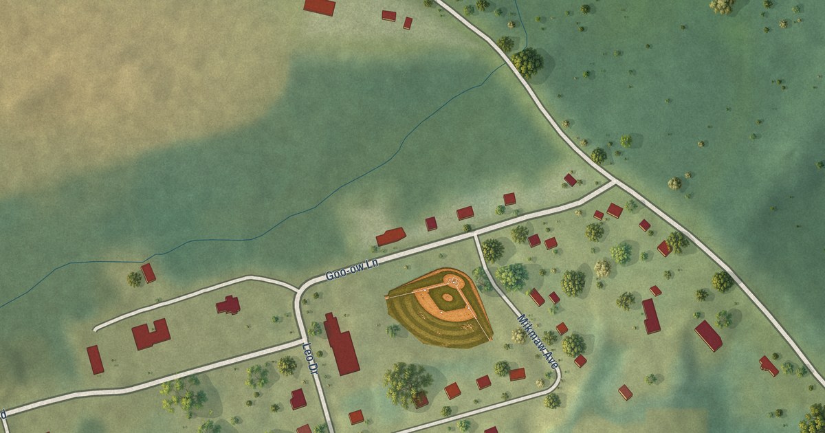
A detailed map of Annapolis Valley First Nation, Nova Scotia, showing every building in its true location, the roads by name, and shaded topographical relief.
Read More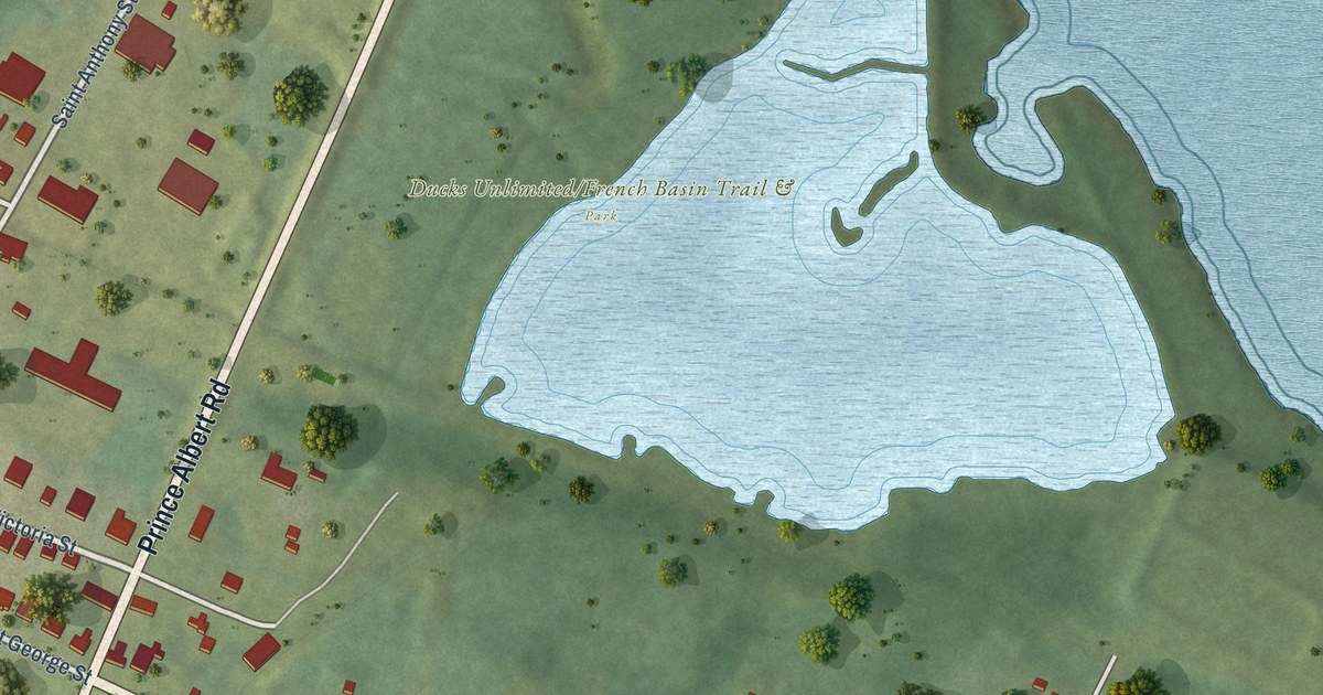
A detailed map of Annapolis Royal, Nova Scotia, showing every building in its true location, the roads by name, and shaded topographical relief.
Read More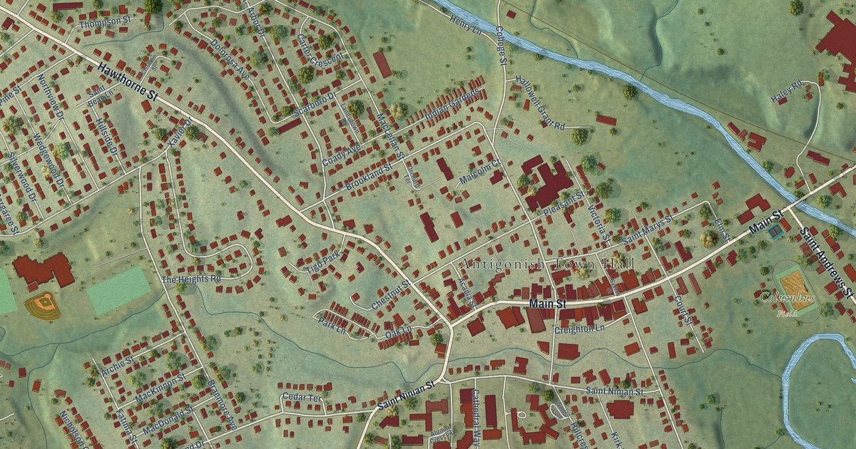
A detailed map of Antigonish, Nova Scotia, showing every building in its true location, the roads by name, and shaded topographical relief.
Read More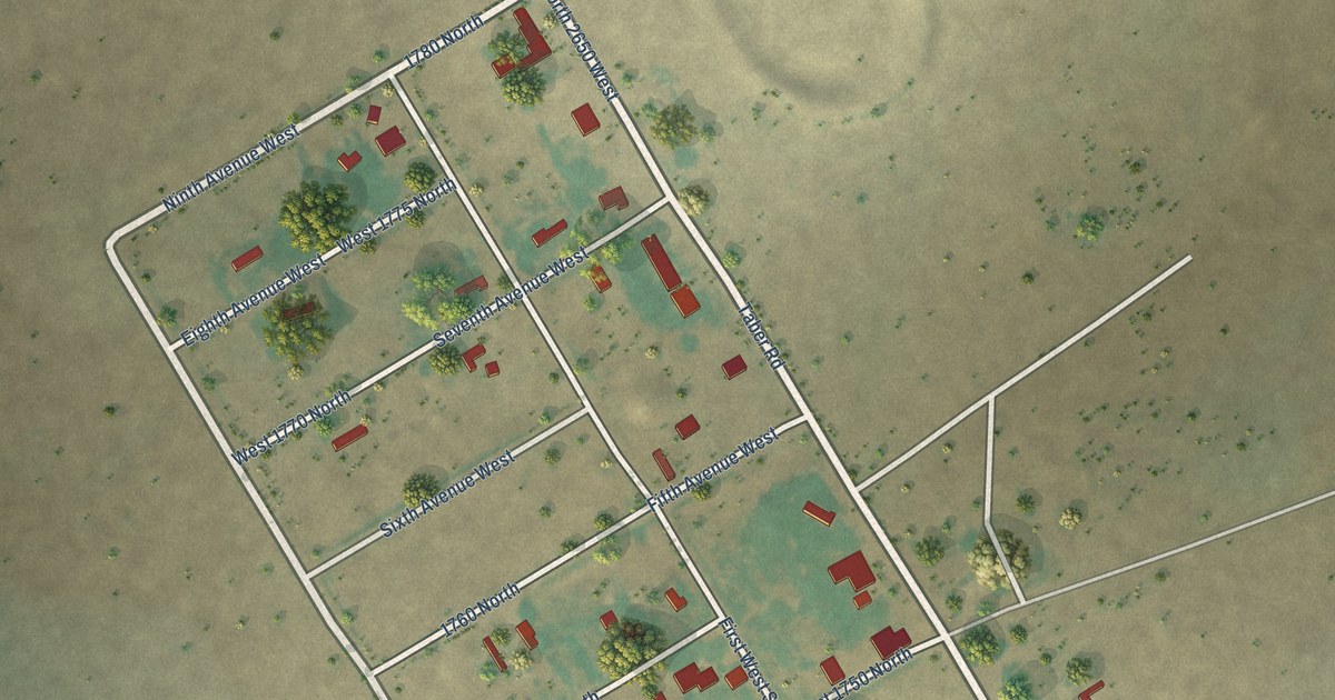
A detailed map of Atomic City, Idaho, showing every building in its true location, the roads by name, and shaded topographical relief.
Read More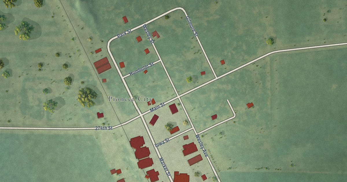
A detailed map of Pioneer, Iowa, showing every building in its true location, the roads by name, and shaded topographical relief.
Read More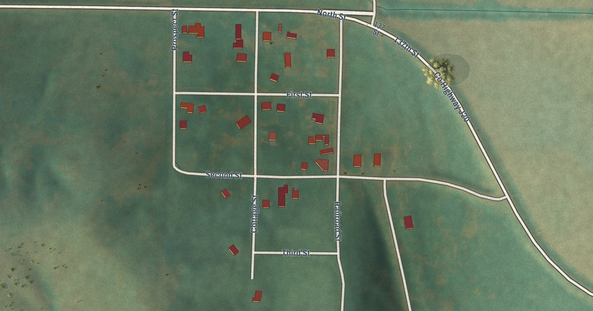
A detailed map of Hepburn, Iowa, showing every building in its true location, the roads by name, and shaded topographical relief.
Read More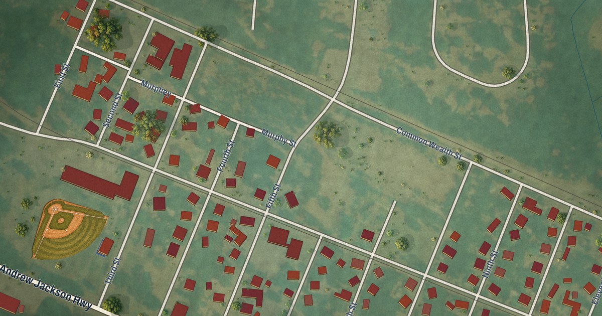
A detailed map of East Laurinburg, North Carolina, showing every building in its true location, the roads by name, and shaded topographical relief.
Read More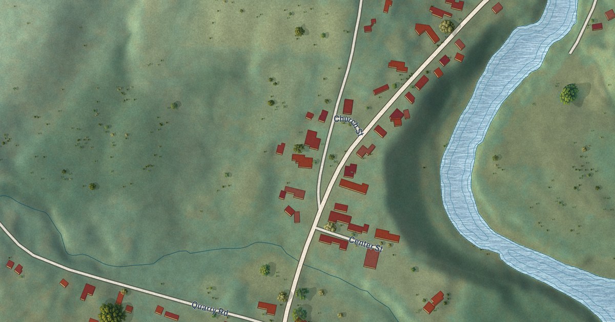
A detailed map of Perkinsville, Vermont, showing every building in its true location, the roads by name, and shaded topographical relief.
Read More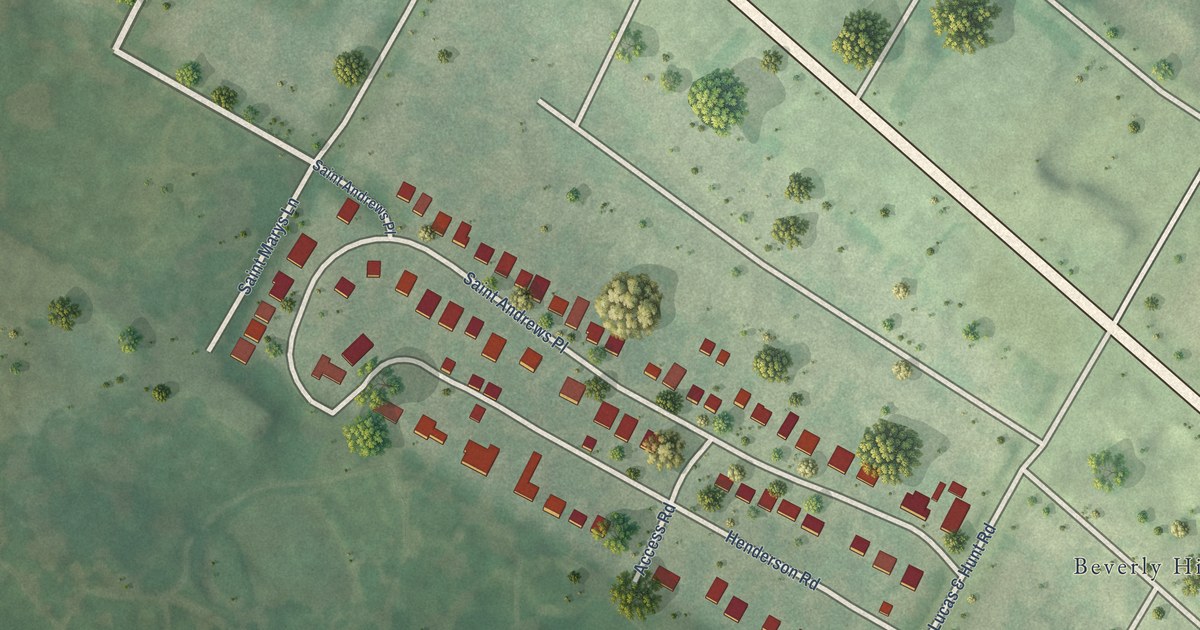
A detailed map of Glen Echo Park, Missouri, showing every building in its true location, the roads by name, and shaded topographical relief.
Read More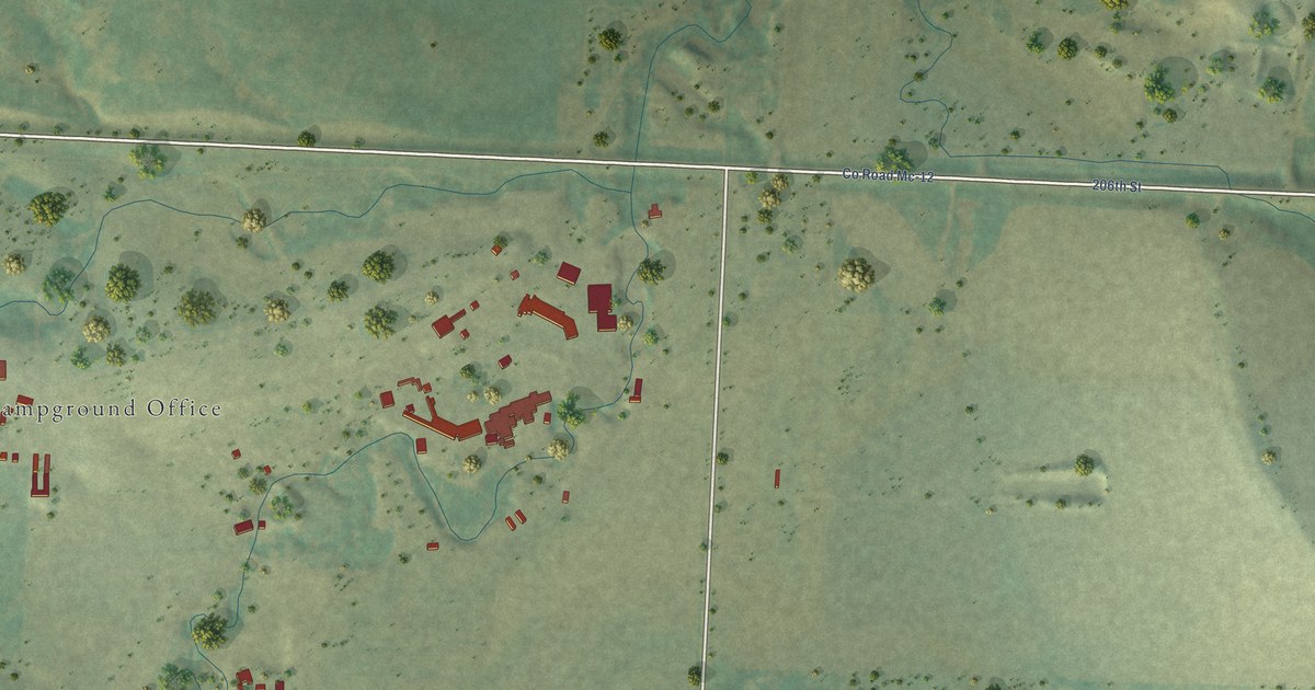
A detailed map of Buffalo Chip, South Dakota, showing every building in its true location, the roads by name, and shaded topographical relief.
Read More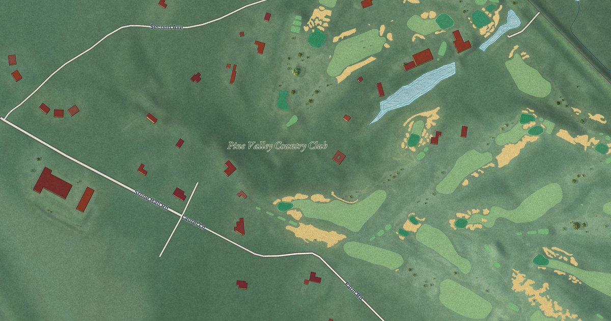
A detailed map of Pine Valley, New Jersey, showing every building in its true location, the roads by name, and shaded topographical relief.
Read More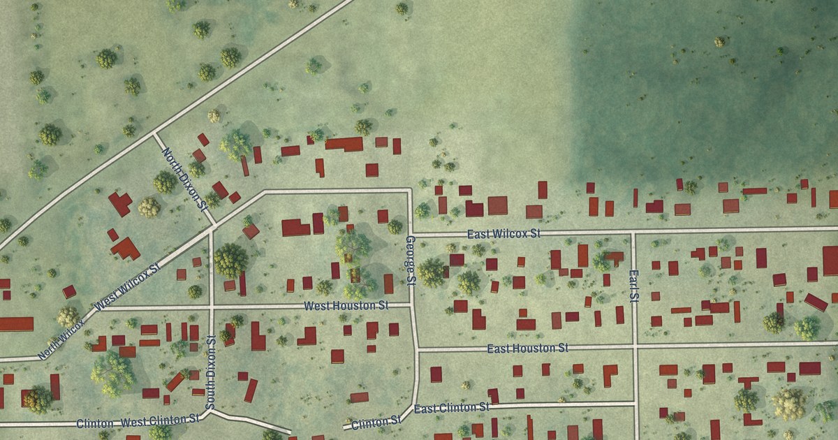
A detailed map of Clear Lake, Illinois, showing every building in its true location, the roads by name, and shaded topographical relief.
Read More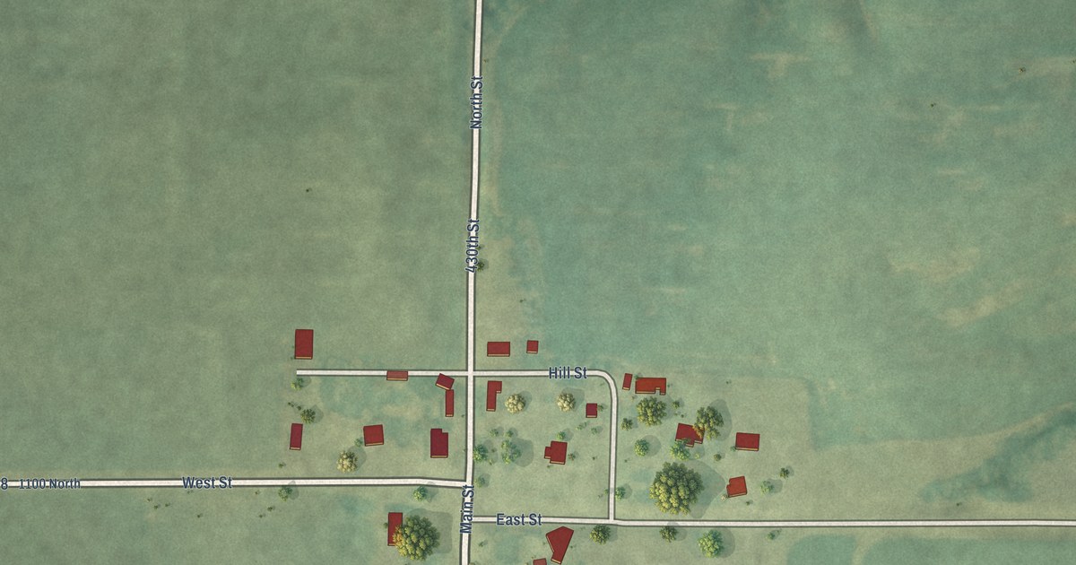
A detailed map of Time, Illinois, showing every building in its true location, the roads by name, and shaded topographical relief.
Read More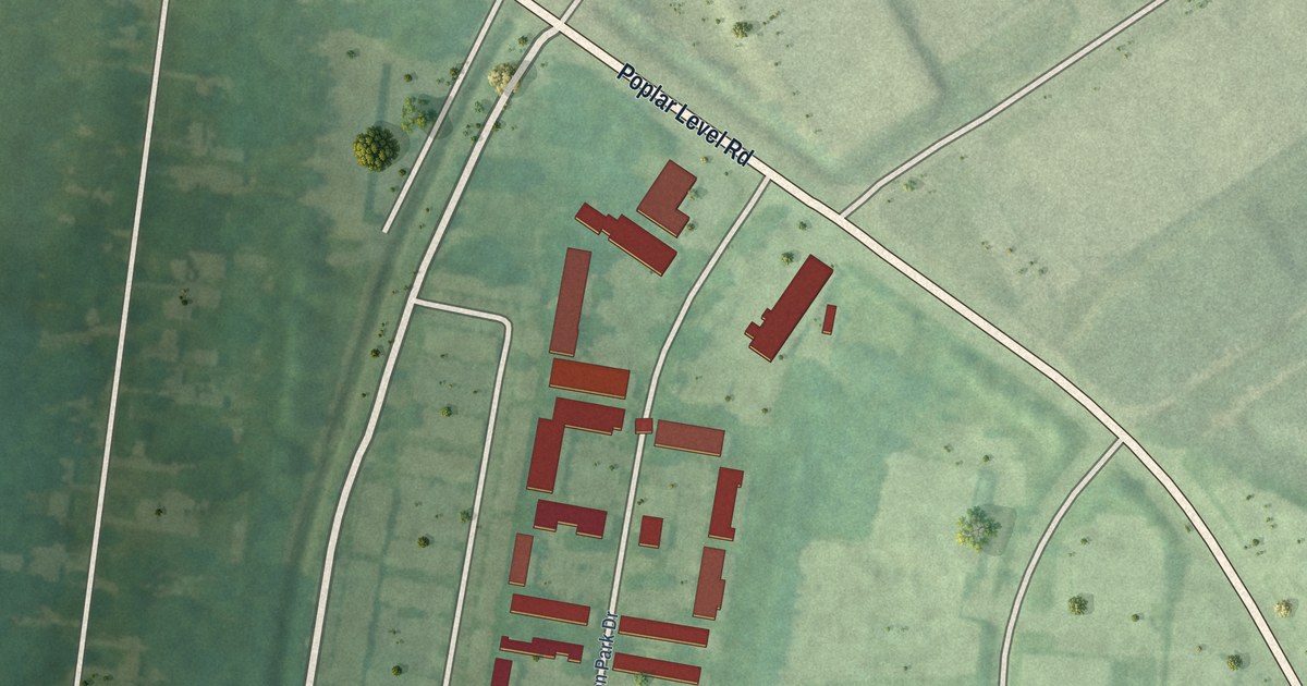
A detailed map of Poplar Hills, Kentucky, showing every building in its true location, the roads by name, and shaded topographical relief.
Read More
In 1905 a Hyomei catarrh ad dressed as local news ran word for word in at least 41 towns, each paper with its own druggist at the bottom.
Read More
In 1905 Phoenix, Arizona, left its streetlights dark on nights the almanac promised a moon. A rainy weekend in November changed the rule, for a while.
Read More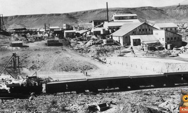
In 1905 a Denver paper said the railroad between Tonopah and Goldfield, Nevada, sat on gold and silver ore, and five millionaires took pieces home.
Read More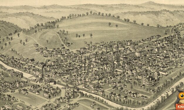
In 1905 two Clarksburg, West Virginia, men raced light buggies five miles to Quiet Dell for $150. Callers on the road reported a bay streak of lightning.
Read More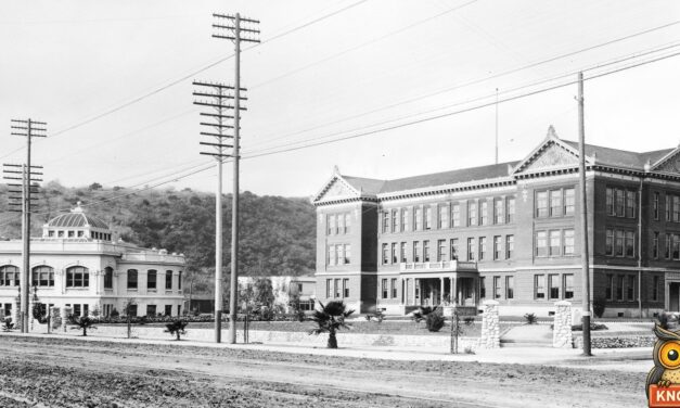
In March 1905 the women of Occidental College in Los Angeles held a track meet behind a high board fence, with every man barred by order of the faculty.
Read More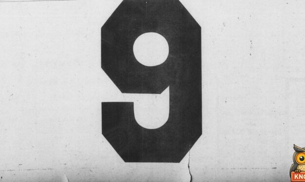
In October 1905 a giant 9 filled the bottom of the Americus Times-Recorder’s front page in Americus, Georgia. Then a store on Forsyth Street explained it.
Read More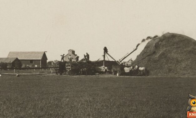
In the fall of 1905 young threshermen near Lake Andrew, Minnesota, sat up half the night. One woman gave them just enough kerosene to get to bed.
Read More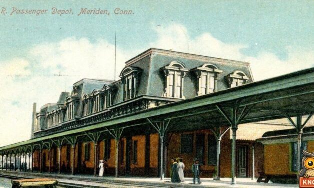
In July 1905 a little boy in Meriden, Connecticut, asked a New Haven grocer for a dime, then mailed it back: it was “too much like begging.”
Read More
On Halloween 1905, New Castle, Delaware’s militia marched as street sweepers with lawn mowers, poking fun at the grass growing on Delaware Street.
Read More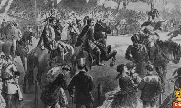
In 1905 three women rode in the Elks’ ring tournament in Annapolis, Maryland, lancing rings from decorated arches. Ethel Duckett, Hiawatha, won.
Read More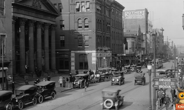
In 1915 two circus elephants marched in Governor Brumbaugh’s parade in Harrisburg. One, Tango Jumbo, was famous for doing the tango. He saluted instead.
Read More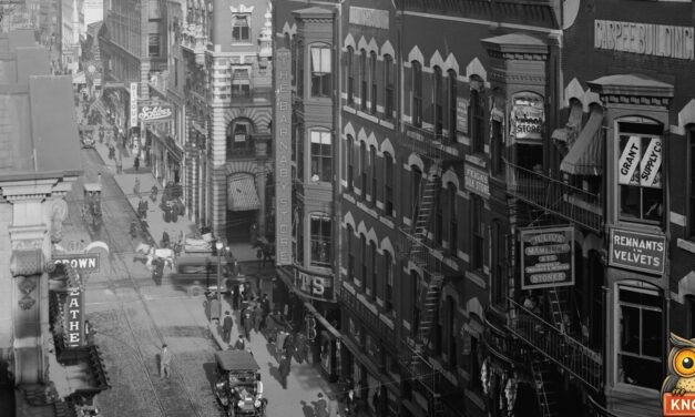
In 1898 the Shepard Company store in Providence opened a moving stairway, an early escalator. A newspaper columnist rode it six times in one visit.
Read More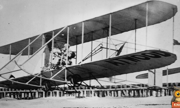
In June 1911 Harry Atwood flew a biplane from Waltham, Mass., into Manchester, N.H., landing in a crowd of 10,000 with New Hampshire’s first air mail.
Read More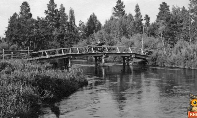
In April 1911, Joseph Hessig and Fannie Marsh were married on their cow ponies in Fort Klamath, Oregon, then drove a herd of beef cattle home to California.
Read More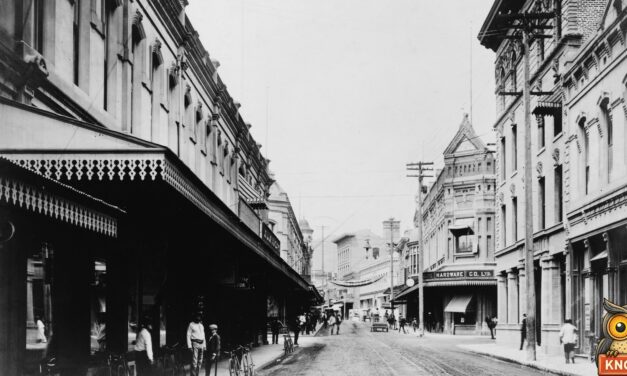
In January 1913, “201 January 10” appeared on Honolulu store windows, street signs and movie screens. Here is who put it there, and what happened on the day.
Read More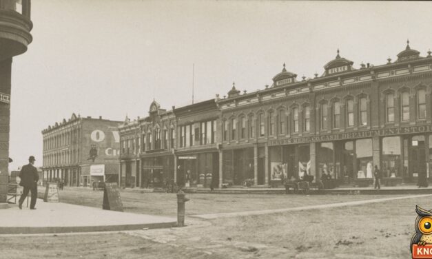
In 1911, 53,000 people entered South Dakota’s land lottery at Gregory. The first name drawn was Mary Kendall of Rapid City, who wove carpets for a living.
Read More
Ely, Nevada, hired aviator Frank Burnside for the Fourth of July in 1913: $1,400, no fly, no money. He flew from 6,421 feet and was carried down the street.
Read More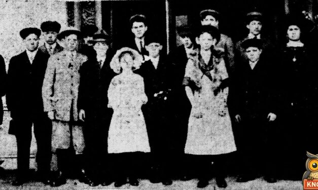
In 1912 Lois Edmonds, 12, of Clarinda, Iowa, won the state bread prize and a Washington trip, but a White House rule kept her from baking for Taft.
Read More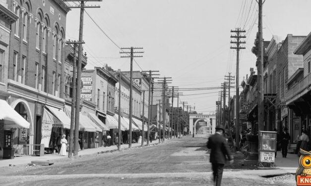
In 1895 Petoskey’s sea serpent proved to be a sail, then a log. In 1914 the Elks built a 100-foot one for their parade, and in 1915 it went up in flames.
Read More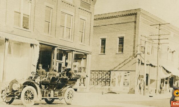
In July 1911 two Crown Point, Indiana, men raced a Stoddard-Dayton and a Cadillac to see which could go slower. One city block took about 12 minutes.
Read More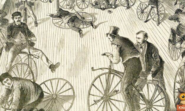
In January 1869 W. B. Kinkead rode Hillsboro, Ohio’s first two-wheeled velocipede down Main Street. A local wagon-maker helped build it.
Read More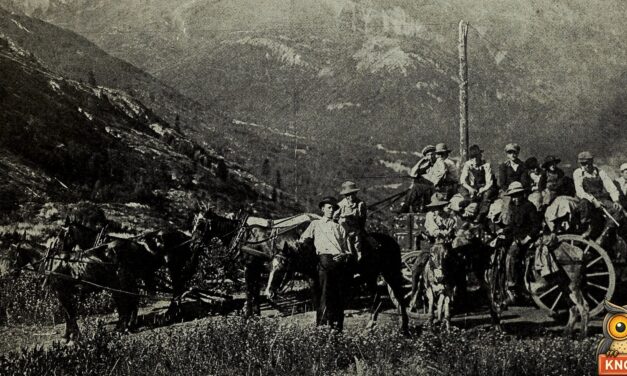
In 1912 Marble, Colorado, hung a huge fire bell because its insurers asked for one. Little Eva Brown rang it first. Then the rates almost doubled.
Read More















