Shade Trees or Cows? Roswell, New Mexico, Had to Choose
In 1904 Roswell, New Mexico, argued over the town cow: boys drove herds through the streets past new shade trees, and the council took up her case.
Read More
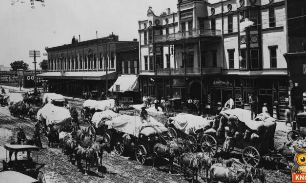
In 1904 Roswell, New Mexico, argued over the town cow: boys drove herds through the streets past new shade trees, and the council took up her case.
Read More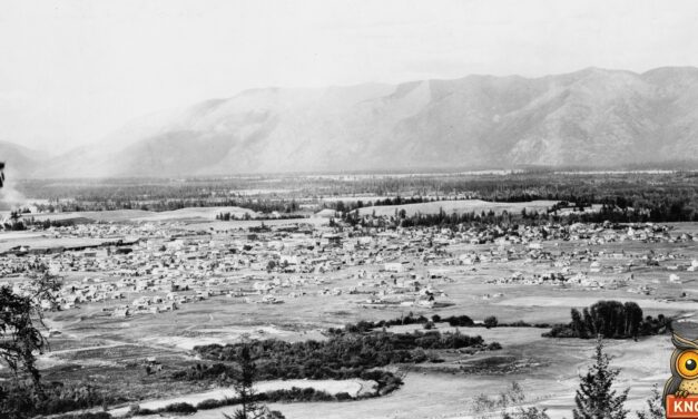
In 1896 a Kalispell McKinley man promised to board his Bryan-backing neighbor if McKinley won. In 1897 the neighbor arrived by sleigh to collect.
Read More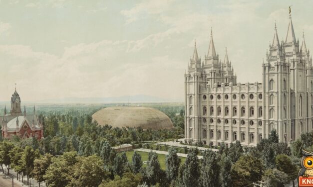
In 1896 the Salt Lake Herald offered silver cups to the first boy and girl born in the new state of Utah. A Salt Lake girl and a Gunnison boy won.
Read More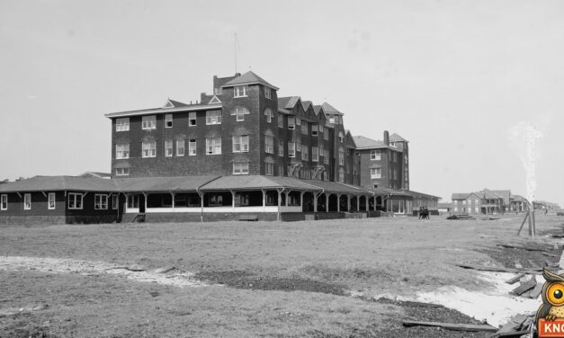
In 1889 eight North Carolina girls threw a note in a bottle from an Atlantic steamer. In 1890 a man on Virginia Beach found it and wrote to Wilmington.
Read More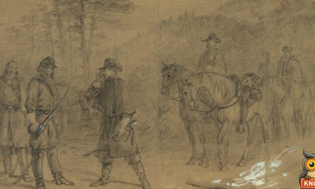
In 1895 a farmer’s son in King George County, Virginia, found a terrapin carved “8th Penna. Cav’y, May, 1863.” Then the man who carved it wrote in.
Read More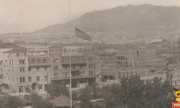
In 1910 a railroad agent in Mexico gave El Paso, Texas, his five pet deer and wrote the children a letter. The deer started the El Paso Zoo.
Read More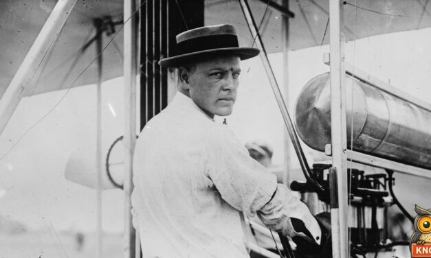
In 1909 E. T. Odom built an aeroplane in secret in Birmingham, Alabama. A year later a Wright pilot took him up, 25 or 50 feet, at the State Fair.
Read More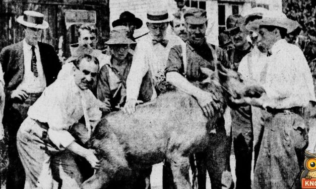
In 1901 Randall Day, a guide in Princeton, Maine, told the state game commissioner to come remove three of “your moose” from his little farm.
Read More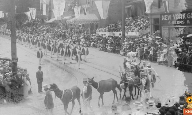
In 1912 the Aberdeen, Washington, Elks lodge drove five tame elk out of the Quinault valley, trained them, and led the Elks’ Portland parade with them.
Read More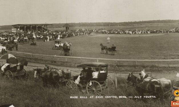
In September 1900, a steam car bound for a Wahpeton doctor became the first automobile ever seen in Sauk Centre, Minnesota. What the old papers said.
Read More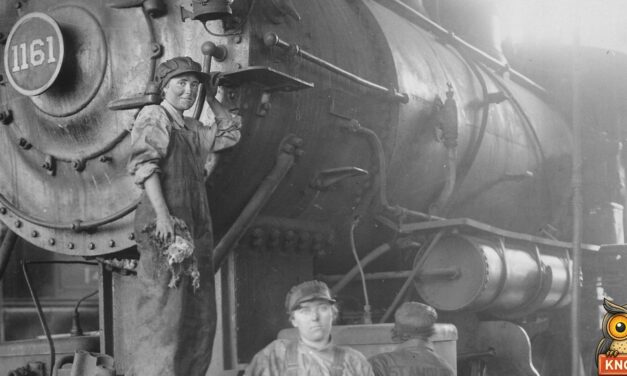
In September 1918, three girls in Coteau, North Dakota, took over the Great Northern’s section crew for $3 a day. What the old papers said about them.
Read More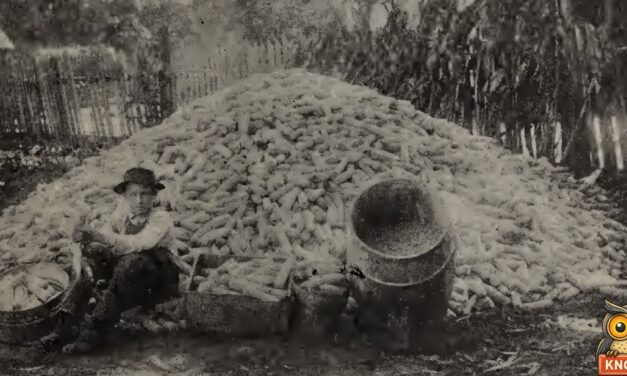
In 1910, 15-year-old Jerry Moore of Winona, South Carolina, grew 228 bushels of corn on one acre and was named the world’s champion boy corn grower.
Read More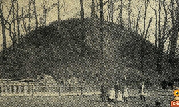
On Mound Day, November 5, 1908, West Virginia schoolchildren gave nickels to save the Grave Creek Mound in Moundsville from becoming building lots.
Read More
In March 1916, Elmer Thompson and Gertrude Barton ran off near Muskogee, Oklahoma. With her father close behind, a justice married them by telephone.
Read More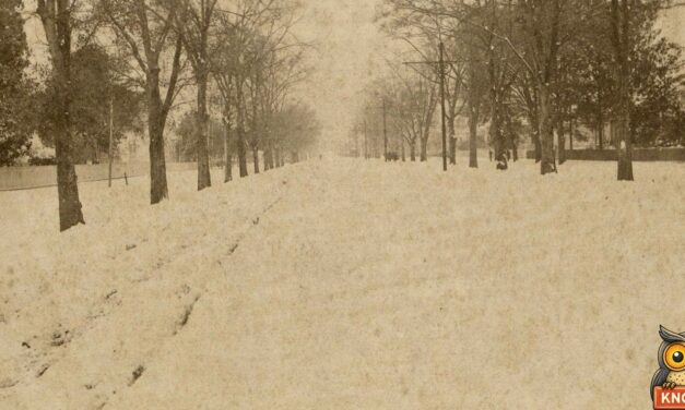
On Valentine’s Day 1895, a foot of snow fell on Opelousas, Louisiana, and a clergyman led a snowball army from Landry street against Main street.
Read More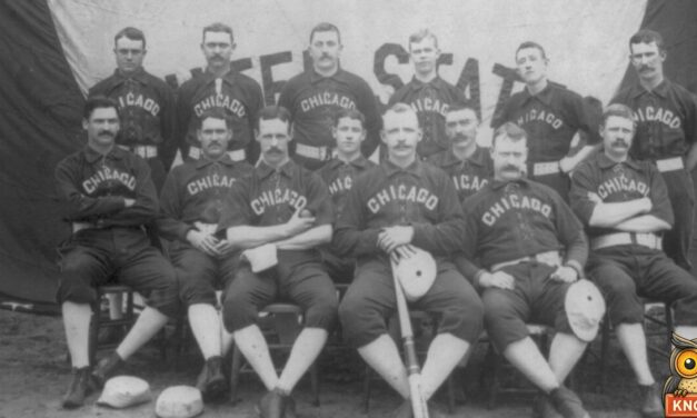
In 1886 the Chicago club took the baths at Hot Springs, Arkansas, under a pledge not to drink. That summer Spalding had detectives follow them.
Read More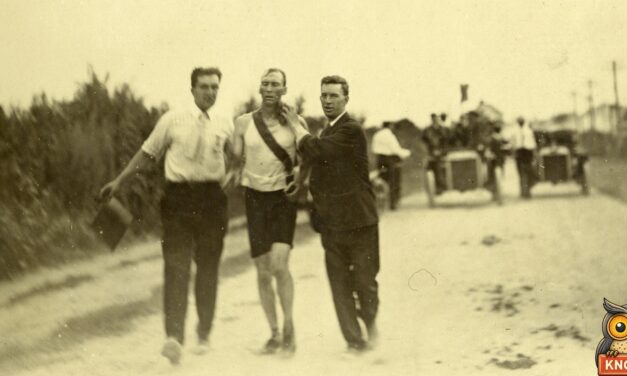
In the 1904 St. Louis Olympic marathon, the first man home had ridden in a car, and the winner was kept going with strychnine and egg whites.
Read More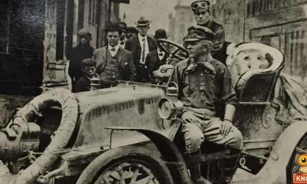
In 1903, Dr. Horatio Nelson Jackson of Burlington, Vermont, made the first drive across America, with a mechanic and Bud, a bulldog in goggles.
Read More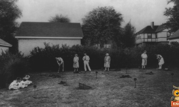
Garnet Carter’s putting course at Fairyland on Lookout Mountain started the 1930 miniature golf craze. What a round cost and how he sold out.
Read More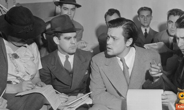
A 1938 radio play landed Martians at Grovers Mill, New Jersey. What the next day’s papers said, and why the panic was smaller than the headlines.
Read More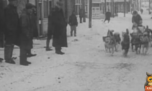
In 1925, 20 dog teams relayed diphtheria serum about 675 miles to Nome, Alaska. Balto led the last run through a blizzard. What the Nome Nugget reported.
Read More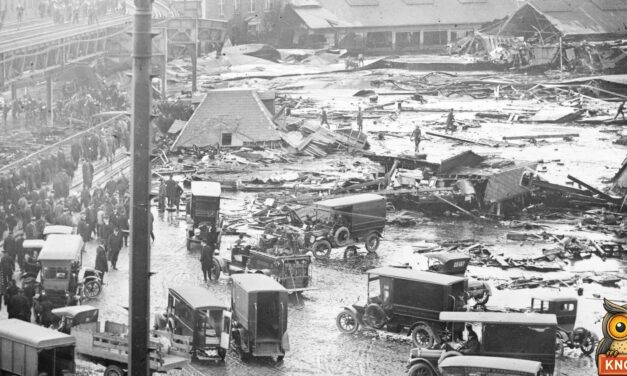
On January 15, 1919, a molasses tank on Boston’s waterfront burst and flooded the North End, killing 21 people. What the papers reported, then and in 1925.
Read More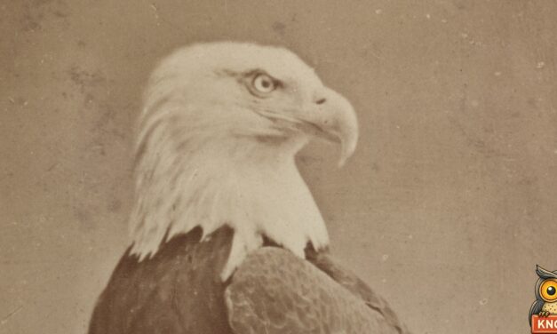
In 1861, Eau Claire soldiers bought a young eagle for $2.50, named him Old Abe and carried him into battle. What the old newspapers said about him.
Read More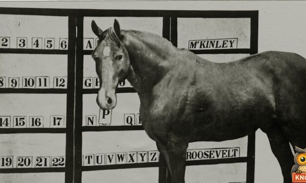
Dr. William Key of Shelbyville, Tennessee, taught his horse Jim Key to spell, count and make change. What the old papers said about the pair.
Read More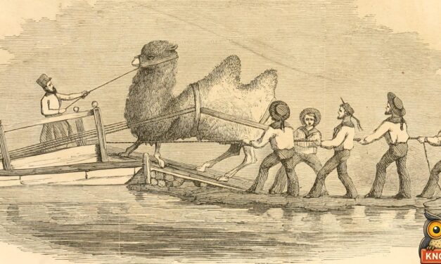
For ten years Arizona told of the Red Ghost, a wild camel with a dead man tied on its back. What the 1893 paper said, and where the camels came from.
Read More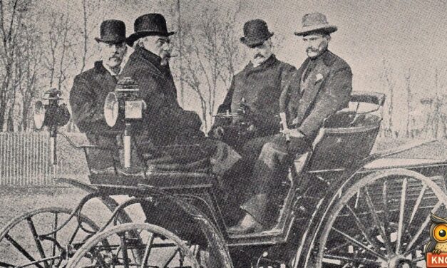
On Thanksgiving Day 1895, six horseless wagons raced 54 miles through snow from Chicago to Evanston and back. Two finished. What the 1895 papers said.
Read More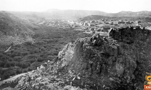
In February 1870, a tie-breaking vote made Esther Morris of South Pass City, Wyoming, a justice of the peace. What the papers said about her court.
Read More
Near Onward, Mississippi, on November 14, 1902, Theodore Roosevelt refused to shoot a bear tied to a tree. A cartoon followed, then the teddy bear.
Read More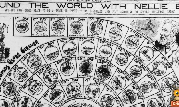
On November 14, 1889, Nellie Bly sailed from Hoboken, New Jersey, with one small bag to race around the world. The old papers tell how she won.
Read More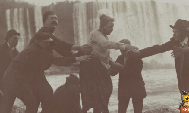
On October 24, 1901, Anna Edson Taylor, a schoolteacher from Bay City, Michigan, went over Niagara Falls in a barrel and lived. What the papers reported.
Read More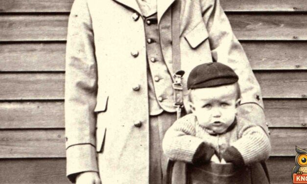
On February 19, 1914, five-year-old May Pierstorff was mailed from Grangeville to Lewiston, Idaho, for 53 cents. Her hometown paper told the story that day.
Read More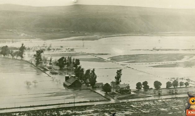
In December 1915, San Diego promised rainmaker Charles Hatfield $10,000 to fill its reservoir. Then came the floods of January 1916. What the papers said.
Read More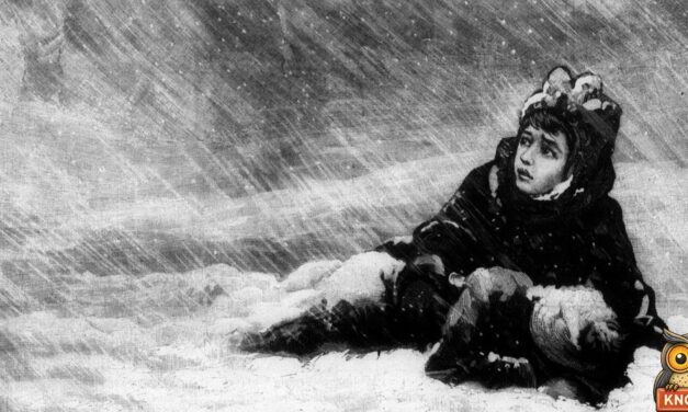
On January 12, 1888, teacher Minnie Freeman led her pupils from a wrecked schoolhouse near Ord, Nebraska, to a farmhouse. What the 1888 newspapers said.
Read More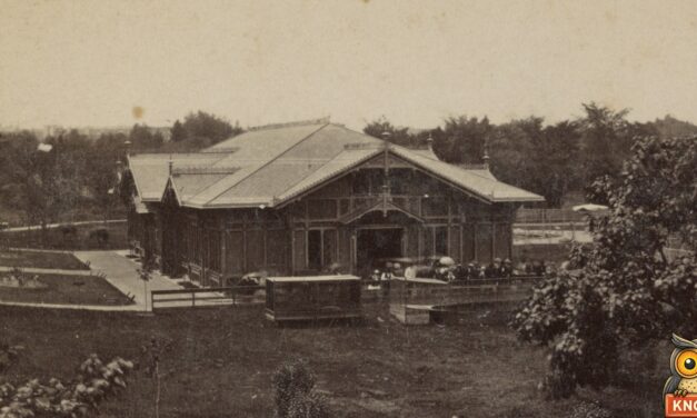
On November 9, 1874, the New York Herald said the Central Park animals had escaped and killed 49 people. It was a hoax, confessed in the last paragraph.
Read More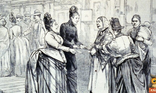
In April 1887, men in Argonia, Kansas, put Susanna Salter’s name on a ballot as a joke. She won and became the first woman mayor in the country.
Read More
On March 3, 1876, flakes of what looked like raw meat fell from a clear sky in Bath County, Kentucky. What witnesses, a butcher and the scientists said.
Read More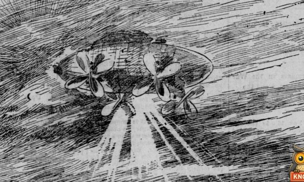
On November 17, 1896, a bright light crossed Sacramento’s night sky and hundreds said it was an airship with a singing crew. The old newspapers tell the story.
Read More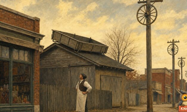
Wagons on stable roofs, gates on telephone poles, buggies on haystacks: what old newspapers reported the morning after Halloween, from Paducah, Kentucky, to Dakota.
Read More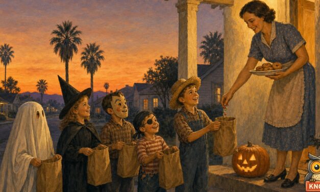
On Halloween 1933, the Imperial Valley Press in El Centro, California, had to explain “trick or treat” to its readers. The old newspapers show the phrase arriving.
Read More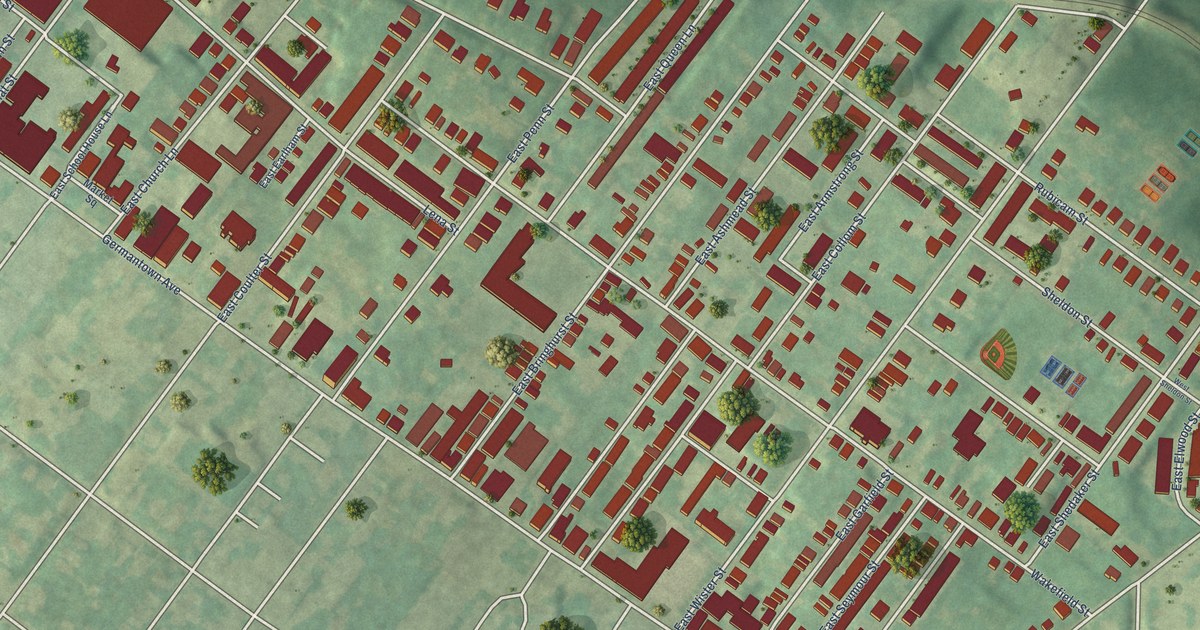
A detailed map of Wister, Pennsylvania, showing every building in its true location, the roads by name, and shaded topographical relief.
Read More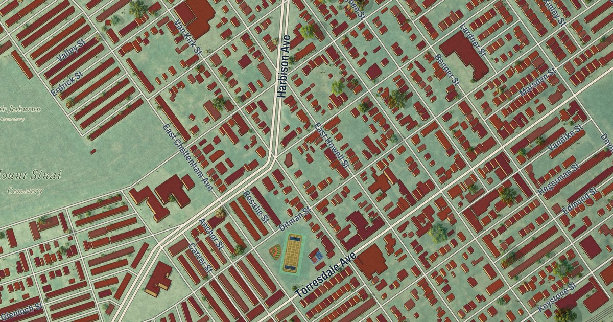
A detailed map of Wissinoming, Pennsylvania, showing every building in its true location, the roads by name, and shaded topographical relief.
Read More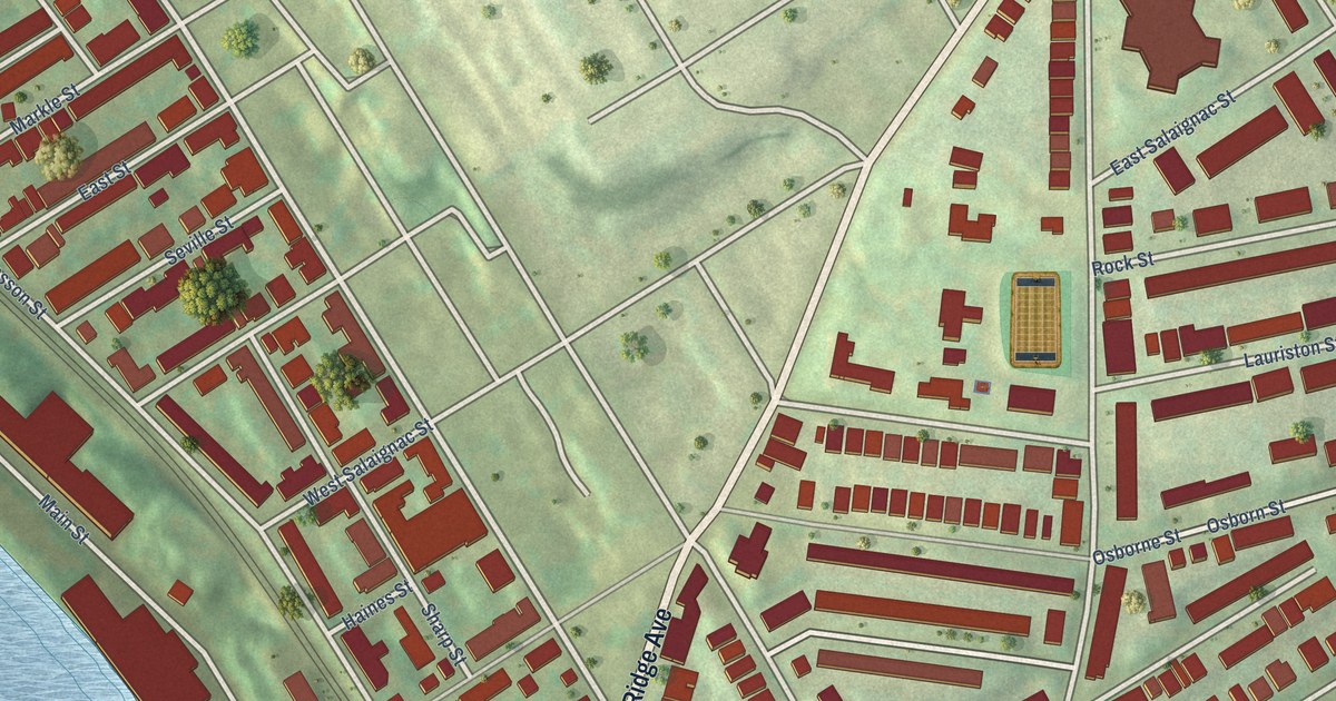
A detailed map of Wissahickon, Pennsylvania, showing every building in its true location, the roads by name, and shaded topographical relief.
Read More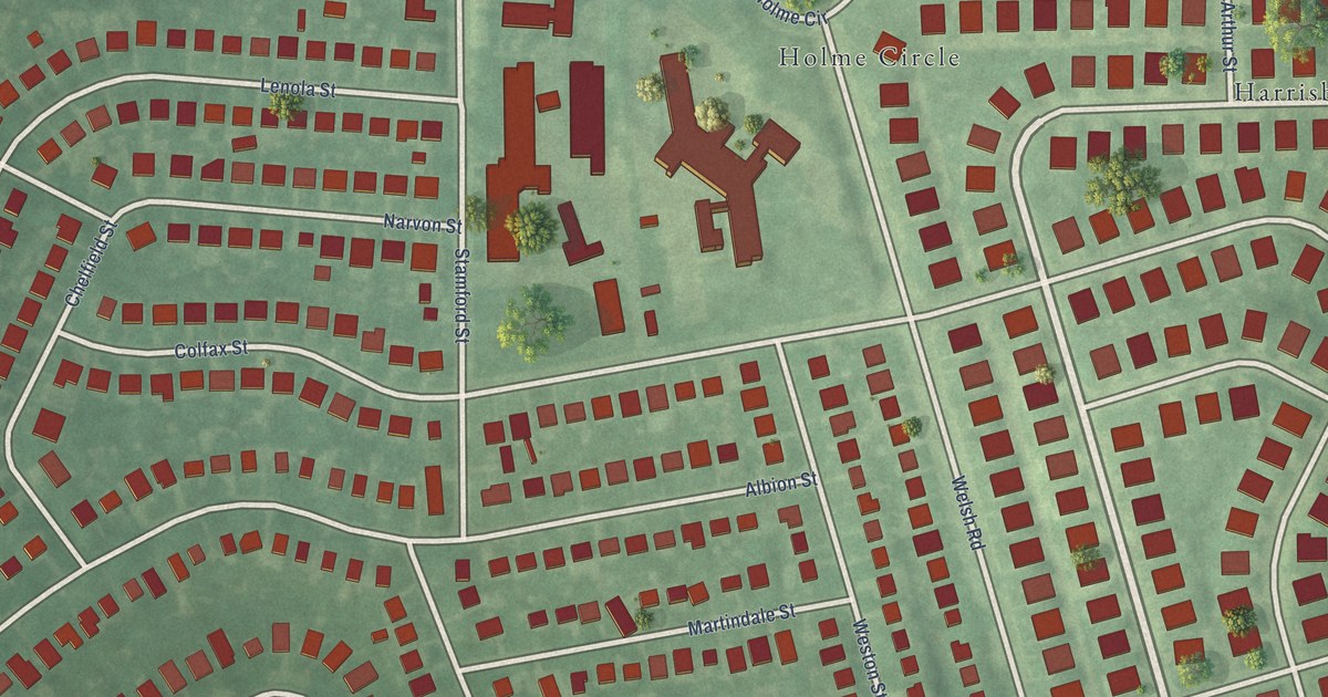
A detailed map of Winchester Park, Pennsylvania, showing every building in its true location, the roads by name, and shaded topographical relief.
Read More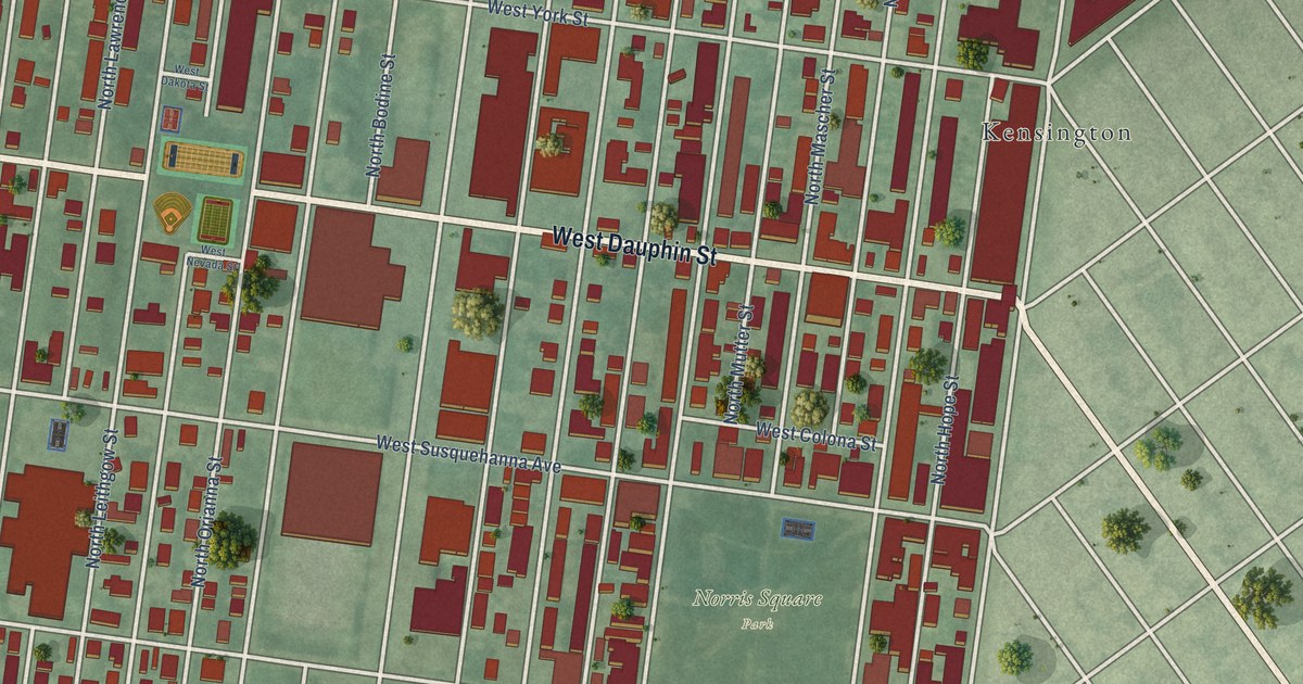
A detailed map of West Kensington, Pennsylvania, showing every building in its true location, the roads by name, and shaded topographical relief.
Read More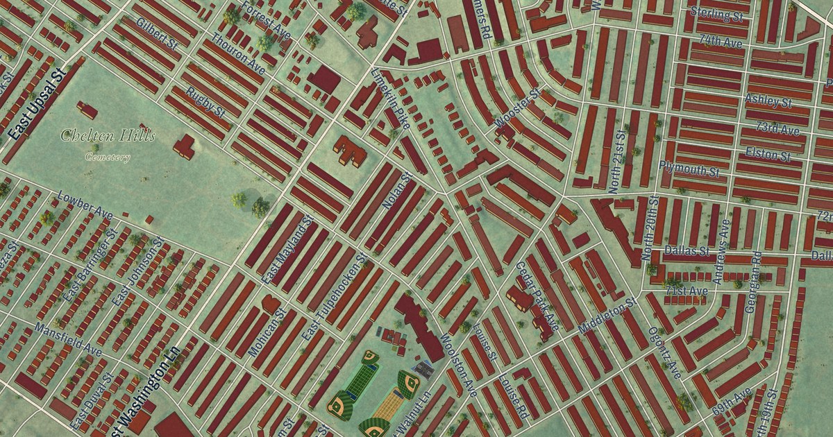
A detailed map of West Oak Lane, Pennsylvania, showing every building in its true location, the roads by name, and shaded topographical relief.
Read More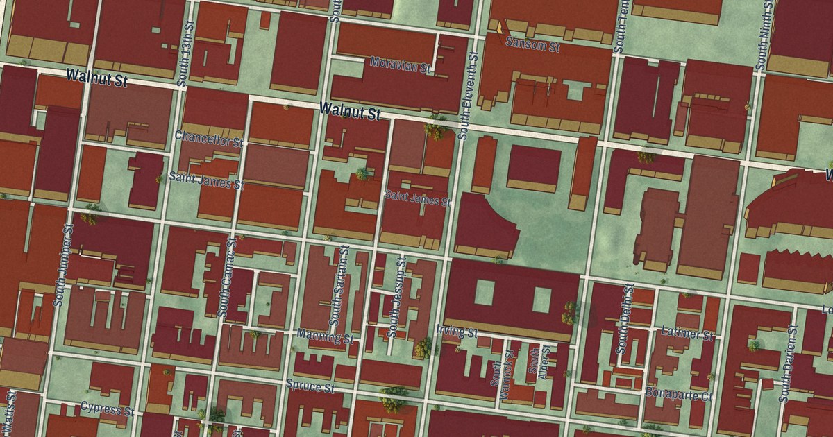
A detailed map of Washington Square West, Pennsylvania, showing every building in its true location, the roads by name, and shaded topographical relief.
Read More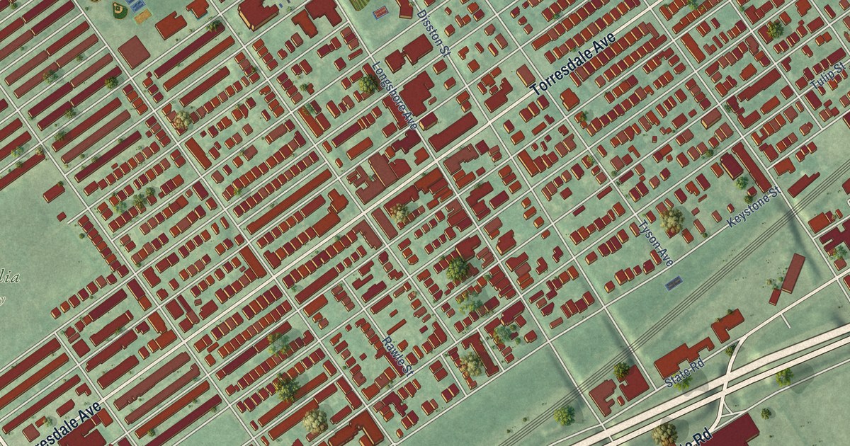
A detailed map of Tacony, Pennsylvania, showing every building in its true location, the roads by name, and shaded topographical relief.
Read More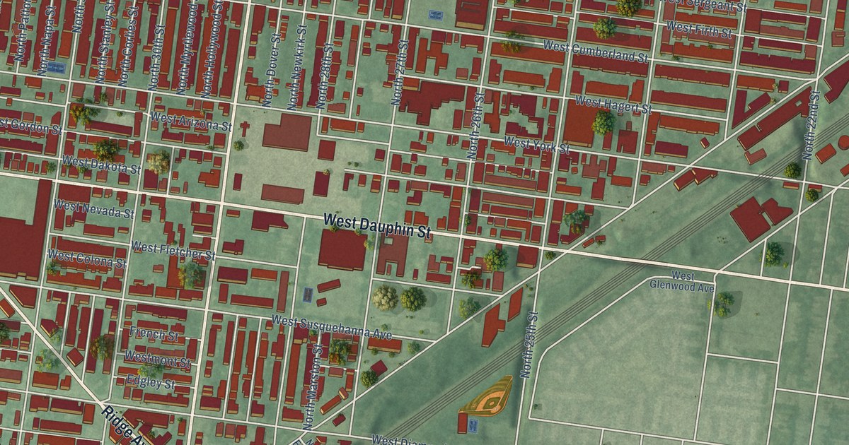
A detailed map of Strawberry Mansion, Pennsylvania, showing every building in its true location, the roads by name, and shaded topographical relief.
Read More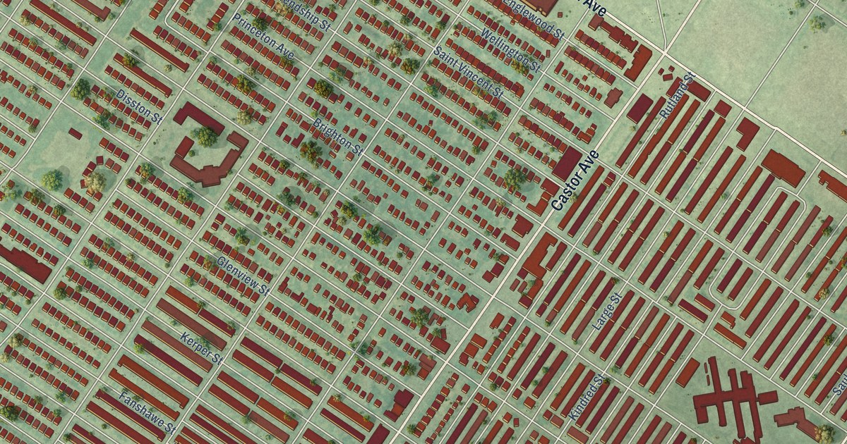
A detailed map of Oxford Circle, Pennsylvania, showing every building in its true location, the roads by name, and shaded topographical relief.
Read More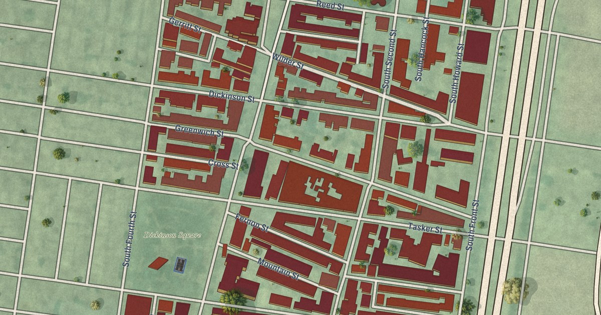
A detailed map of Pennsport, Pennsylvania, showing every building in its true location, the roads by name, and shaded topographical relief.
Read More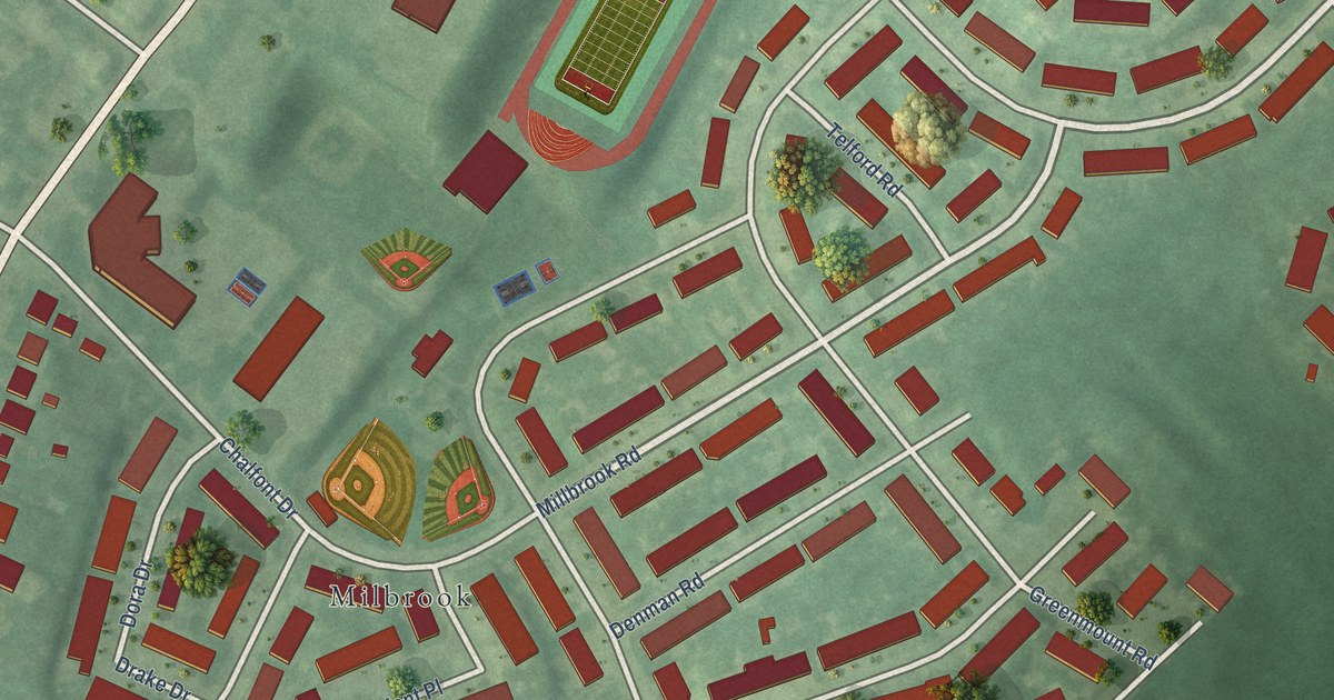
A detailed map of Millbrook, Pennsylvania, showing every building in its true location, the roads by name, and shaded topographical relief.
Read More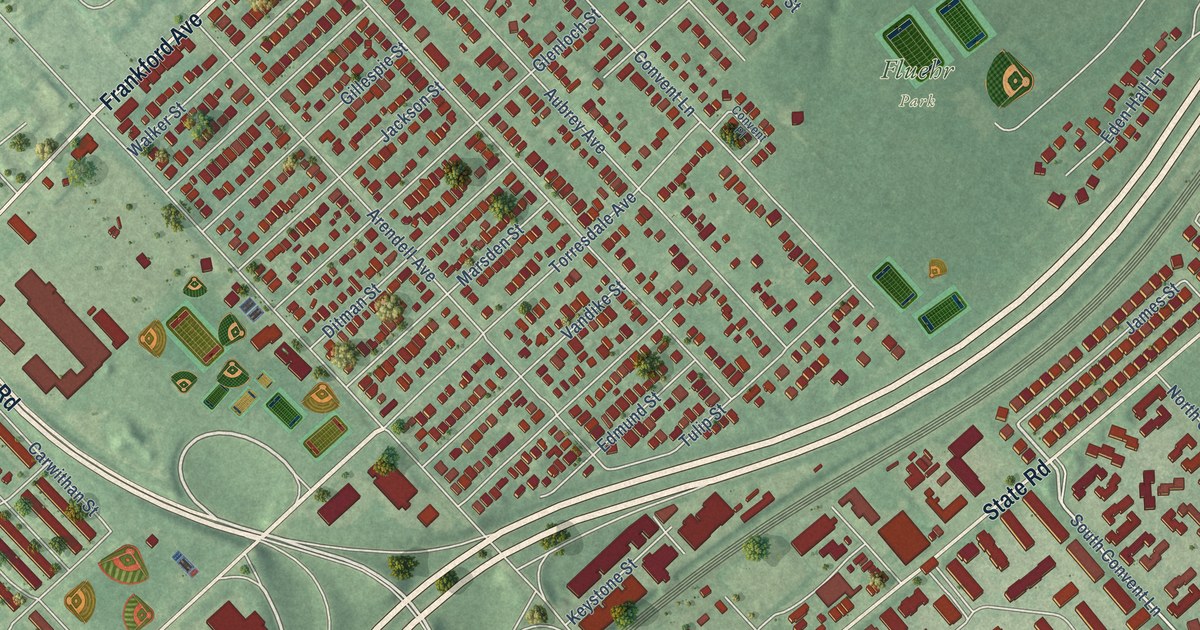
A detailed map of Torresdale, Pennsylvania, showing every building in its true location, the roads by name, and shaded topographical relief.
Read More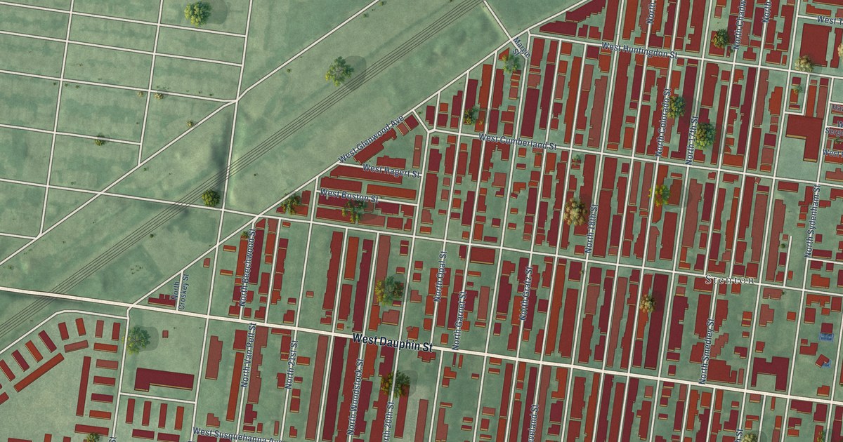
A detailed map of Stanton, Pennsylvania, showing every building in its true location, the roads by name, and shaded topographical relief.
Read More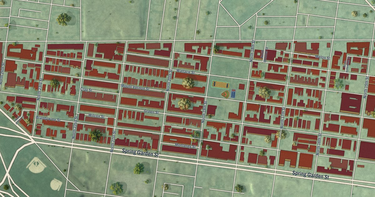
A detailed map of Spring Garden, Pennsylvania, showing every building in its true location, the roads by name, and shaded topographical relief.
Read More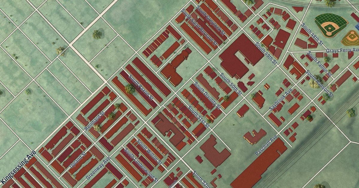
A detailed map of Southwest Schuylkill, Pennsylvania, showing every building in its true location, the roads by name, and shaded topographical relief.
Read More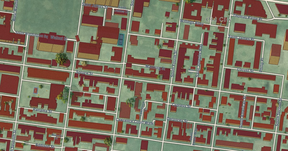
A detailed map of Society Hill, Pennsylvania, showing every building in its true location, the roads by name, and shaded topographical relief.
Read More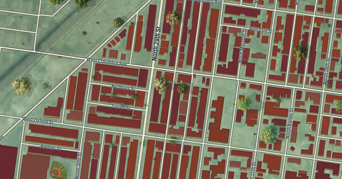
A detailed map of Brewerytown, Pennsylvania, showing every building in its true location, the roads by name, and shaded topographical relief.
Read More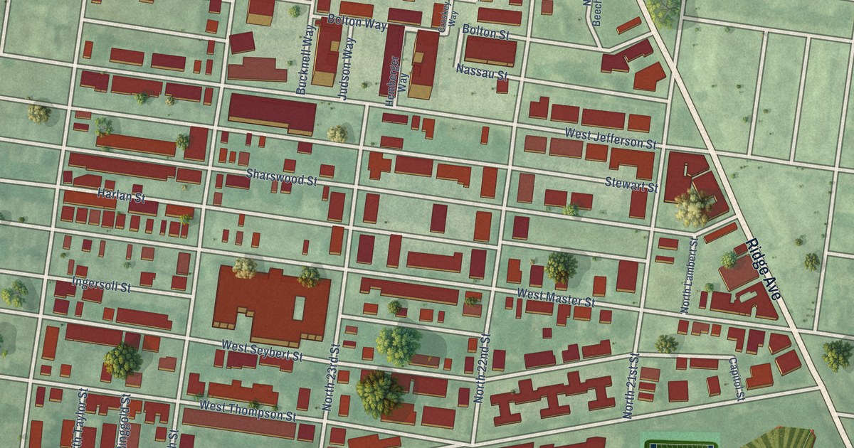
A detailed map of Sharswood, Pennsylvania, showing every building in its true location, the roads by name, and shaded topographical relief.
Read More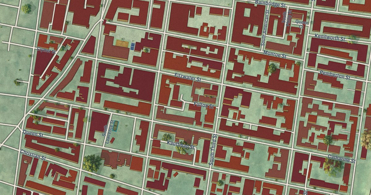
A detailed map of Queen Village, Pennsylvania, showing every building in its true location, the roads by name, and shaded topographical relief.
Read More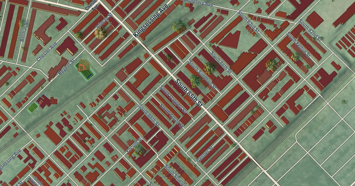
A detailed map of Paschall, Pennsylvania, showing every building in its true location, the roads by name, and shaded topographical relief.
Read More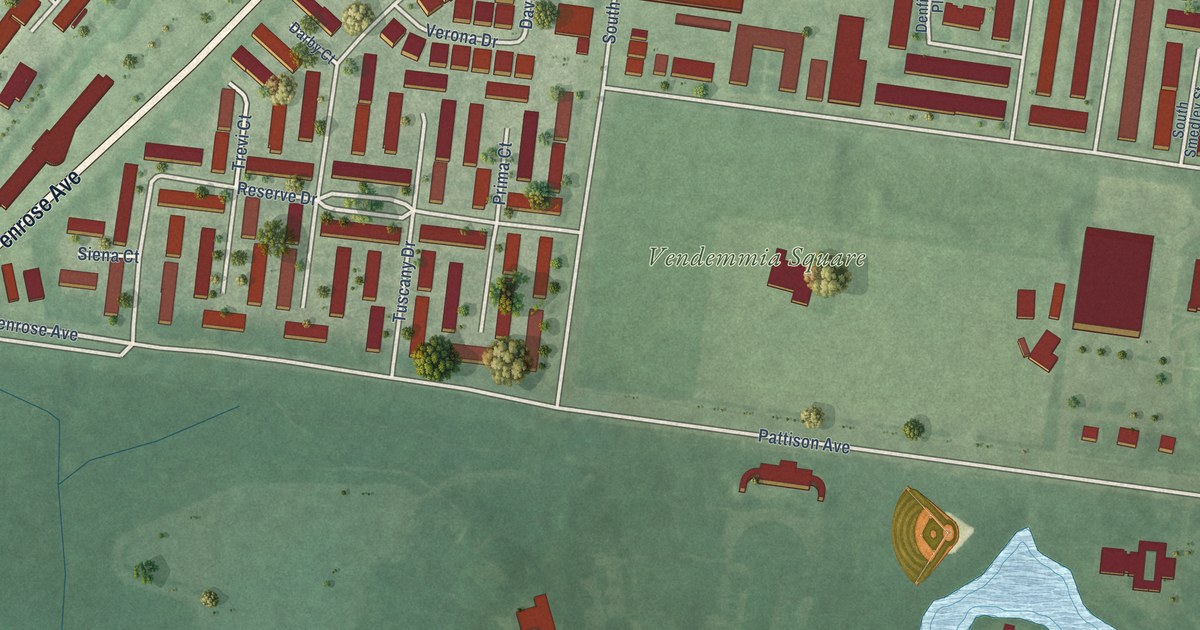
A detailed map of Packer Park, Pennsylvania, showing every building in its true location, the roads by name, and shaded topographical relief.
Read More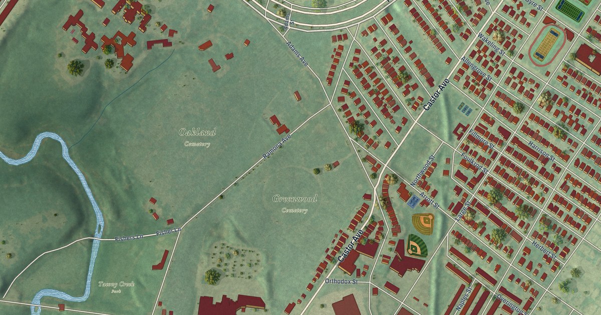
A detailed map of Northwood, Pennsylvania, showing every building in its true location, the roads by name, and shaded topographical relief.
Read More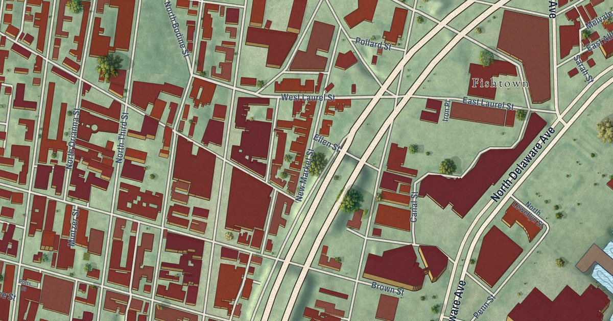
A detailed map of Northern Liberties, Pennsylvania, showing every building in its true location, the roads by name, and shaded topographical relief.
Read More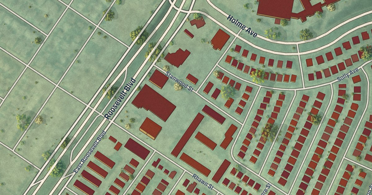
A detailed map of Lexington Park, Pennsylvania, showing every building in its true location, the roads by name, and shaded topographical relief.
Read More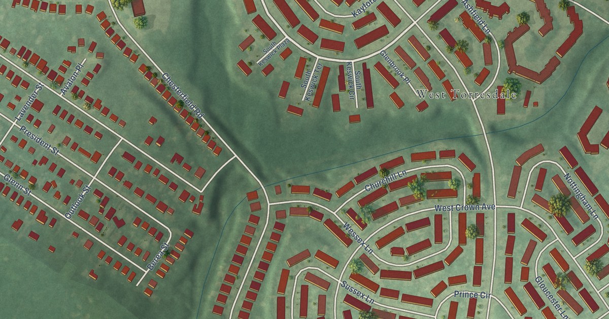
A detailed map of Morrell Park, Pennsylvania, showing every building in its true location, the roads by name, and shaded topographical relief.
Read More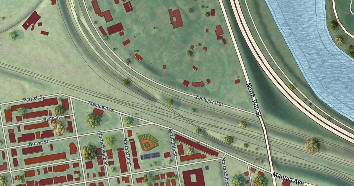
A detailed map of Mantua, Pennsylvania, showing every building in its true location, the roads by name, and shaded topographical relief.
Read More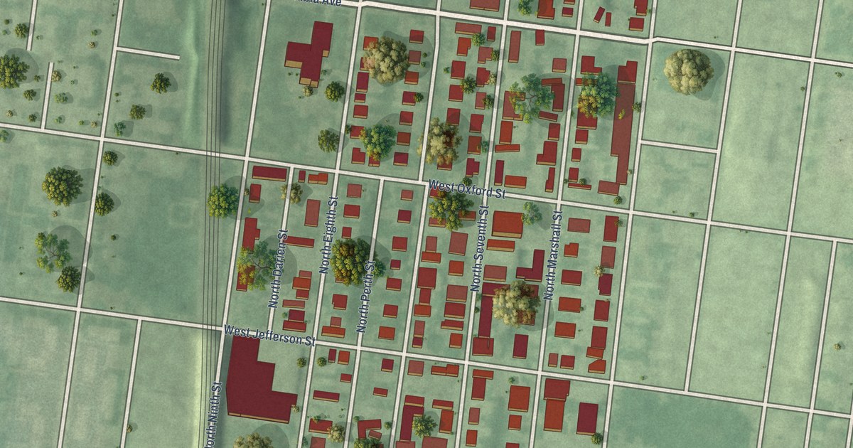
A detailed map of Ludlow, Pennsylvania, showing every building in its true location, the roads by name, and shaded topographical relief.
Read More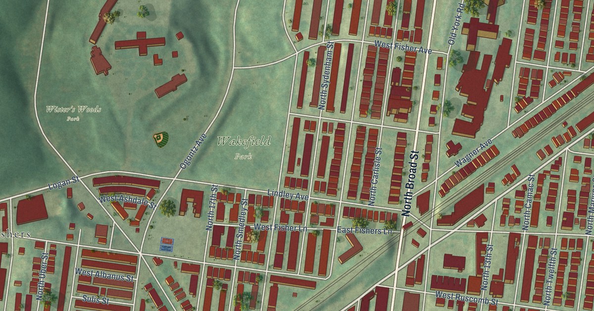
A detailed map of Logan, Pennsylvania, showing every building in its true location, the roads by name, and shaded topographical relief.
Read More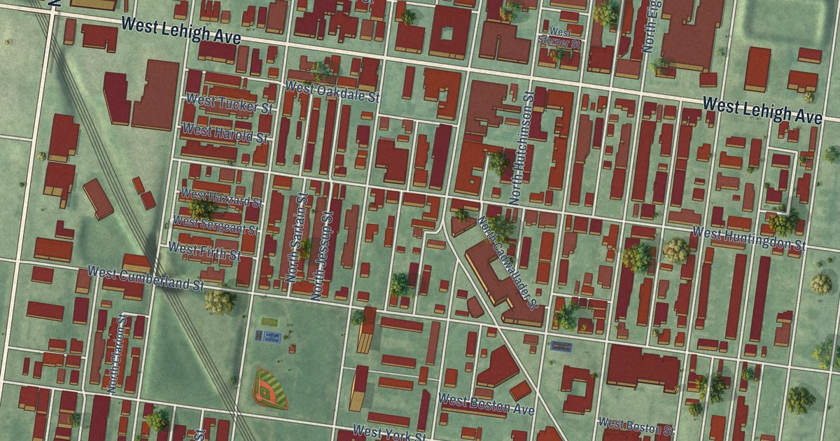
A detailed map of Hartranft, Pennsylvania, showing every building in its true location, the roads by name, and shaded topographical relief.
Read More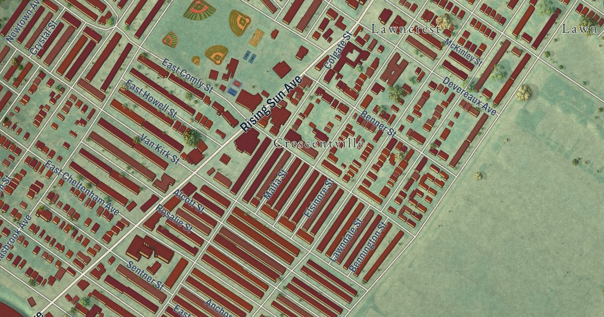
A detailed map of Lawndale, Pennsylvania, showing every building in its true location, the roads by name, and shaded topographical relief.
Read More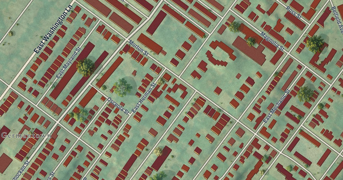
A detailed map of Morton, Pennsylvania, showing every building in its true location, the roads by name, and shaded topographical relief.
Read More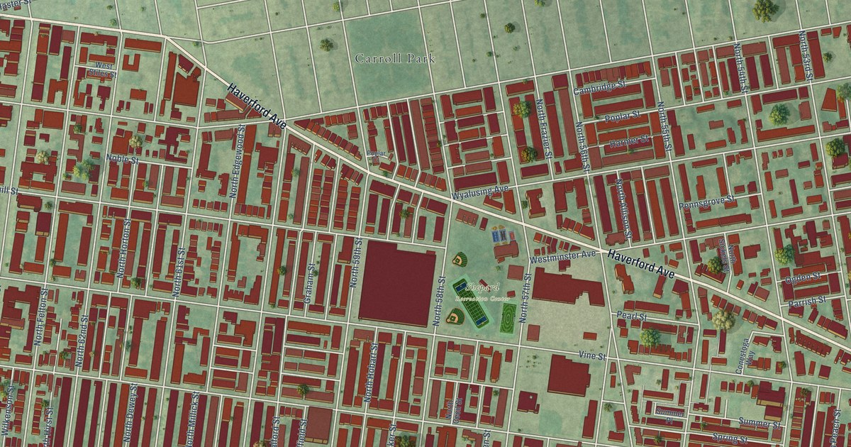
A detailed map of Haddington, Pennsylvania, showing every building in its true location, the roads by name, and shaded topographical relief.
Read More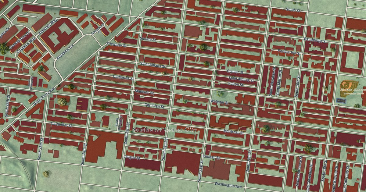
A detailed map of Graduate Hospital, Pennsylvania, showing every building in its true location, the roads by name, and shaded topographical relief.
Read More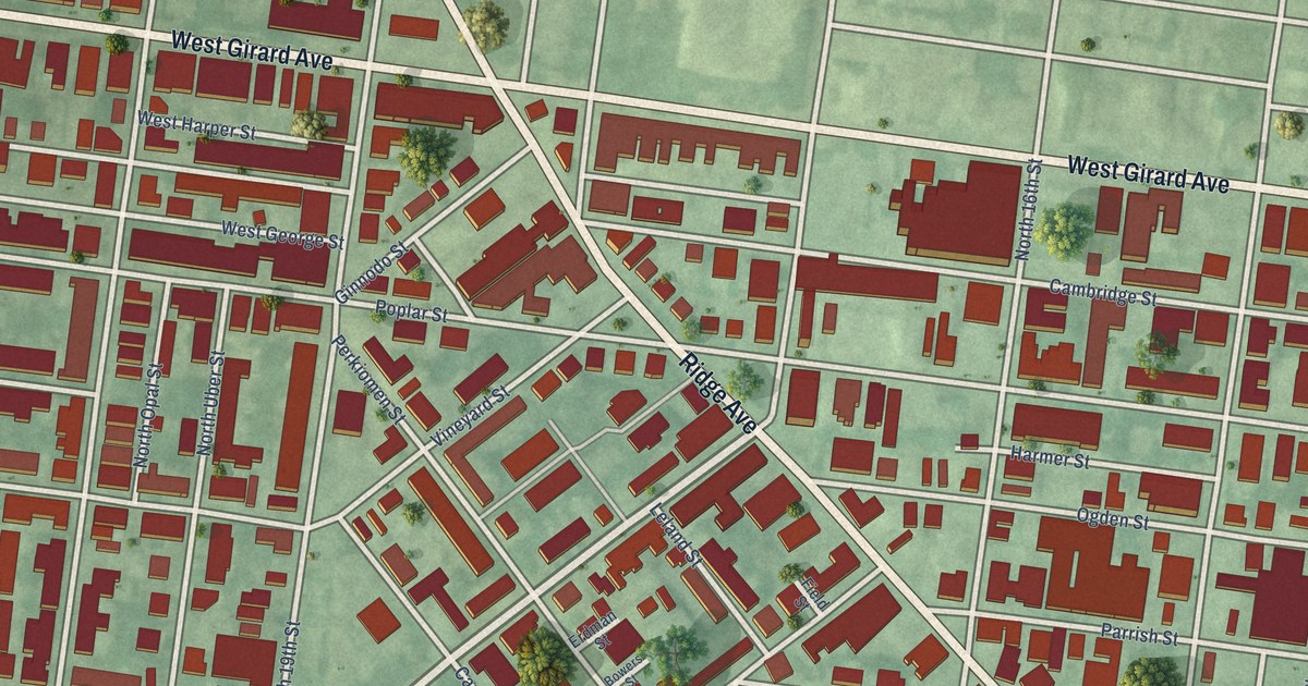
A detailed map of Francisville, Pennsylvania, showing every building in its true location, the roads by name, and shaded topographical relief.
Read More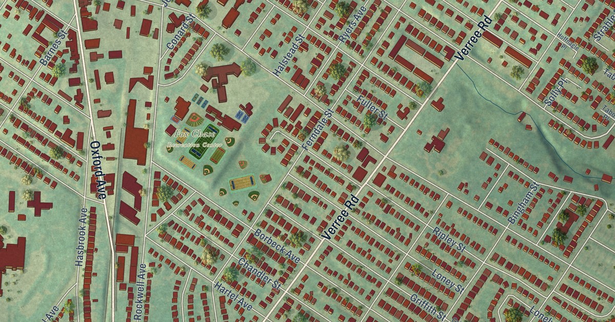
A detailed map of Fox Chase, Pennsylvania, showing every building in its true location, the roads by name, and shaded topographical relief.
Read More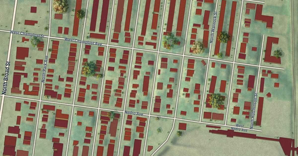
A detailed map of Fern Rock, Pennsylvania, showing every building in its true location, the roads by name, and shaded topographical relief.
Read More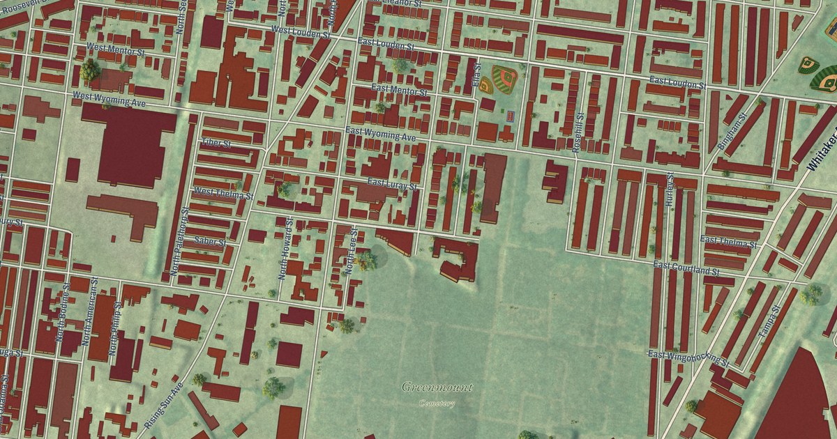
A detailed map of Feltonville, Pennsylvania, showing every building in its true location, the roads by name, and shaded topographical relief.
Read More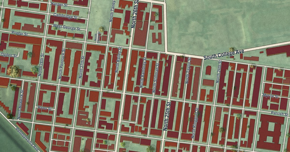
A detailed map of Fairmount, Pennsylvania, showing every building in its true location, the roads by name, and shaded topographical relief.
Read More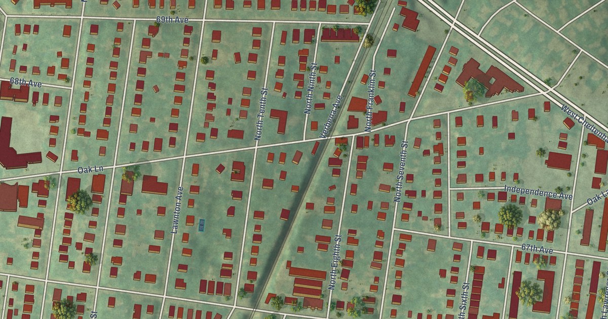
A detailed map of East Oak Lane, Pennsylvania, showing every building in its true location, the roads by name, and shaded topographical relief.
Read More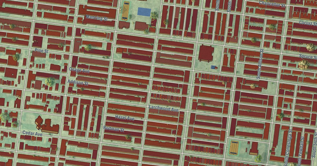
A detailed map of Cobbs Creek, Pennsylvania, showing every building in its true location, the roads by name, and shaded topographical relief.
Read More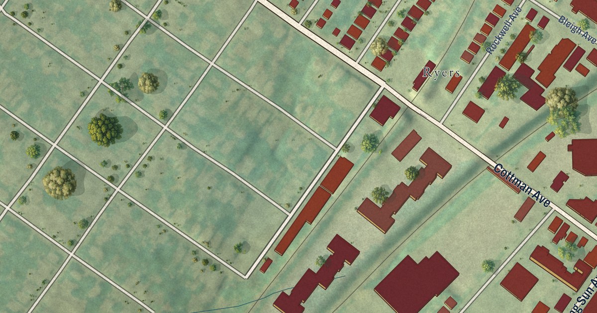
A detailed map of Burholme, Pennsylvania, showing every building in its true location, the roads by name, and shaded topographical relief.
Read More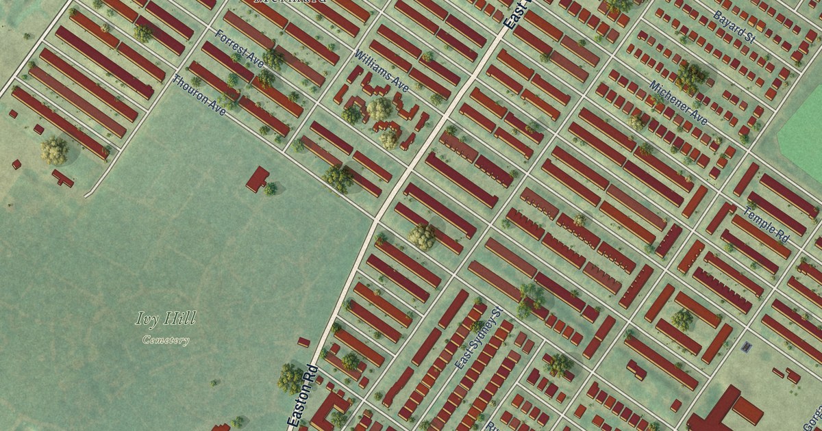
A detailed map of Cedarbrook, Pennsylvania, showing every building in its true location, the roads by name, and shaded topographical relief.
Read More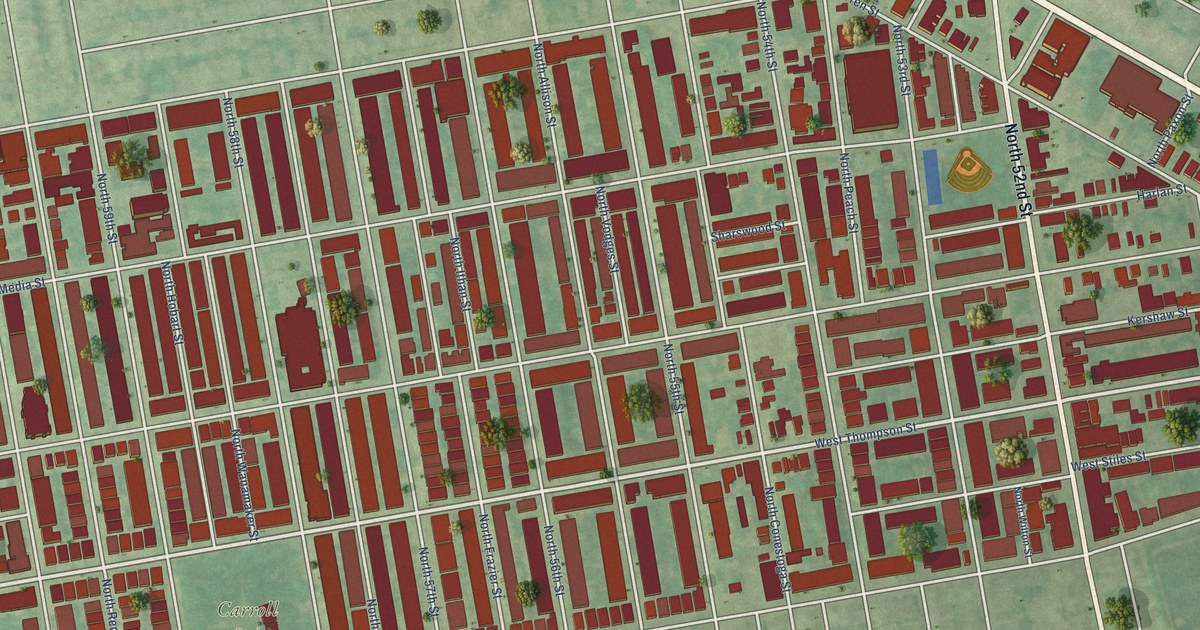
A detailed map of Carroll Park, Pennsylvania, showing every building in its true location, the roads by name, and shaded topographical relief.
Read More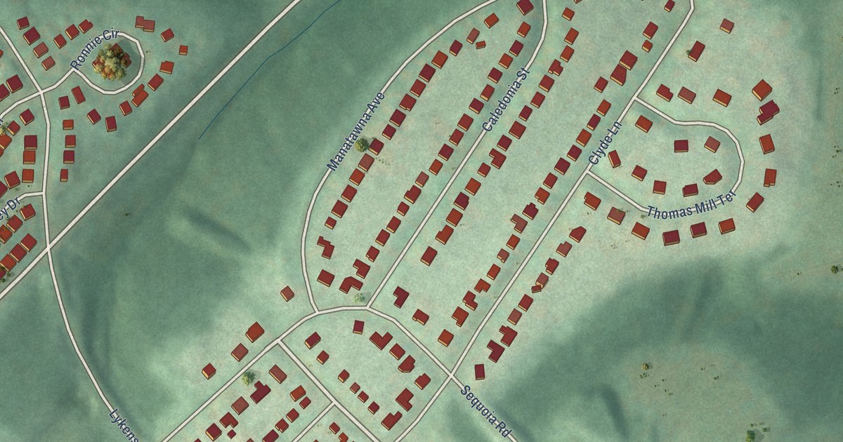
A detailed map of Andorra, Pennsylvania, showing every building in its true location, the roads by name, and shaded topographical relief.
Read More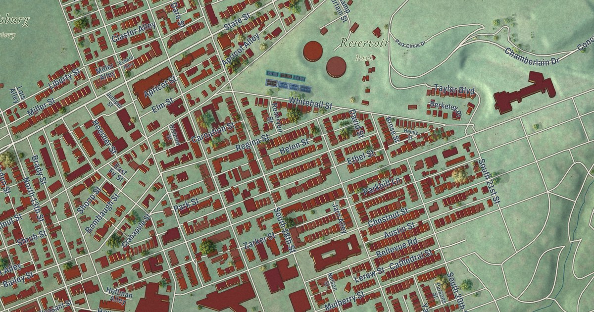
A detailed map of Allison Hill, Pennsylvania, showing every building in its true location, the roads by name, and shaded topographical relief.
Read More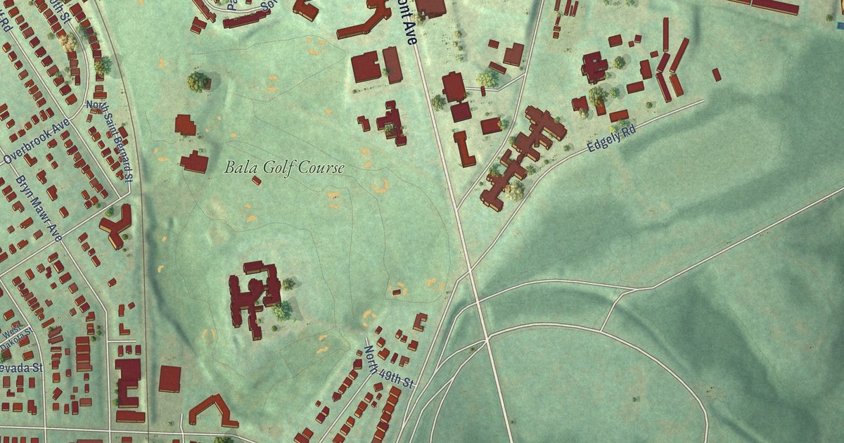
A detailed map of Wynnefield, Pennsylvania, showing every building in its true location, the roads by name, and shaded topographical relief.
Read More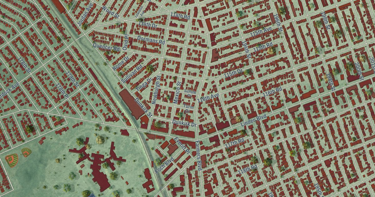
A detailed map of St. Albans, New York, showing every building in its true location, the roads by name, and shaded topographical relief.
Read More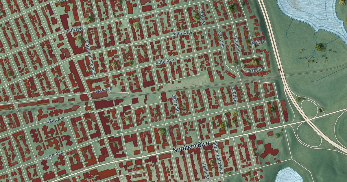
A detailed map of Bayside, New York, showing every building in its true location, the roads by name, and shaded topographical relief.
Read More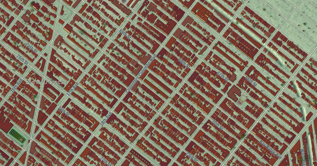
A detailed map of Bensonhurst, New York, showing every building in its true location, the roads by name, and shaded topographical relief.
Read More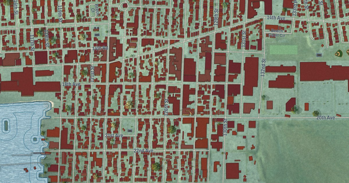
A detailed map of College Point, New York, showing every building in its true location, the roads by name, and shaded topographical relief.
Read More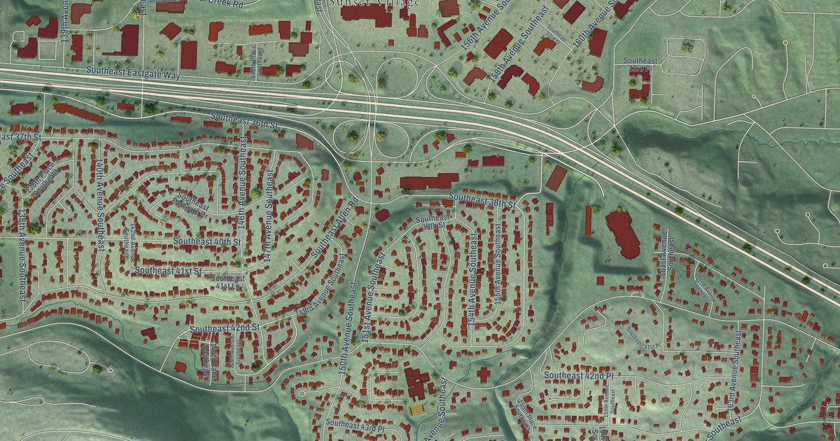
A detailed map of Eastgate, Washington, showing every building in its true location, the roads by name, and shaded topographical relief.
Read More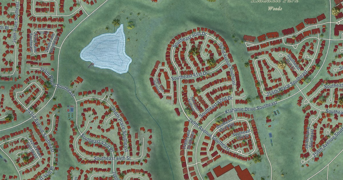
A detailed map of Klahanie, Washington, showing every building in its true location, the roads by name, and shaded topographical relief.
Read More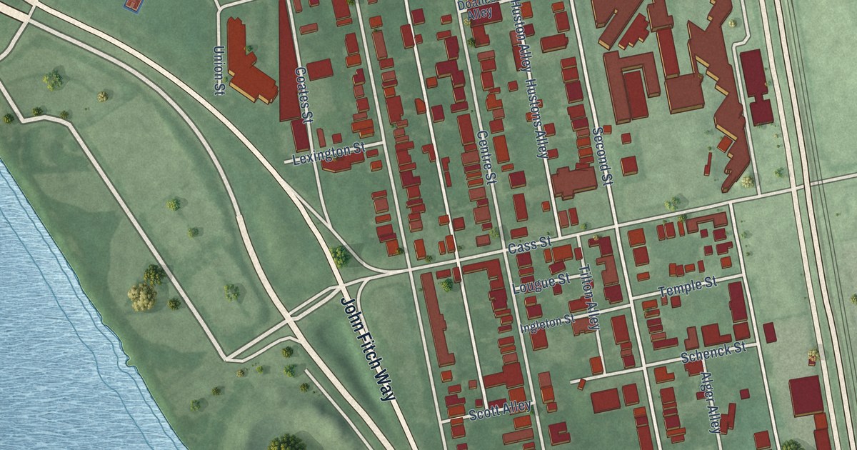
A detailed map of South Trenton, New Jersey, showing every building in its true location, the roads by name, and shaded topographical relief.
Read More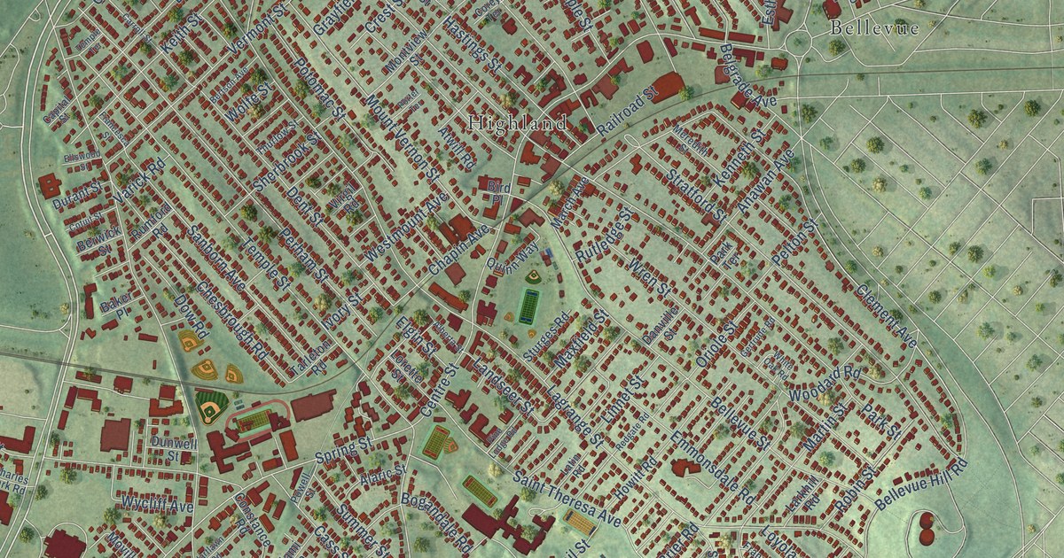
A detailed map of West Roxbury, Massachusetts, showing every building in its true location, the roads by name, and shaded topographical relief.
Read More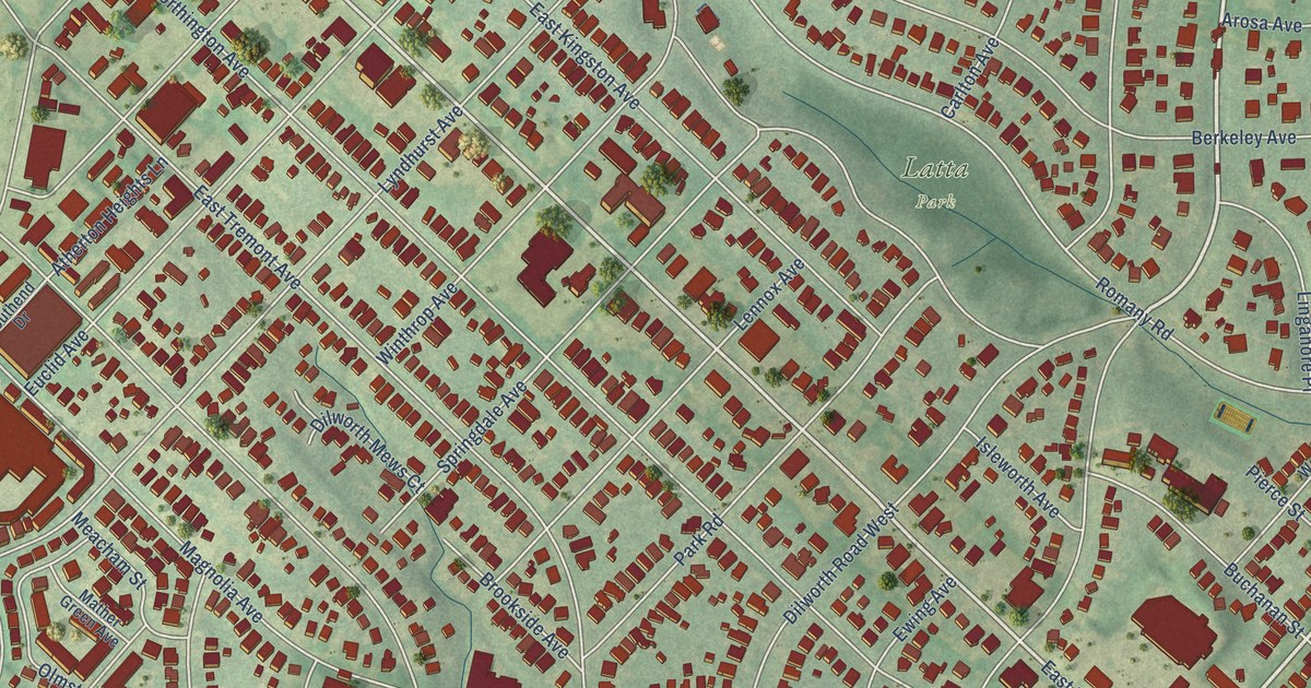
A detailed map of Dilworth, North Carolina, showing every building in its true location, the roads by name, and shaded topographical relief.
Read More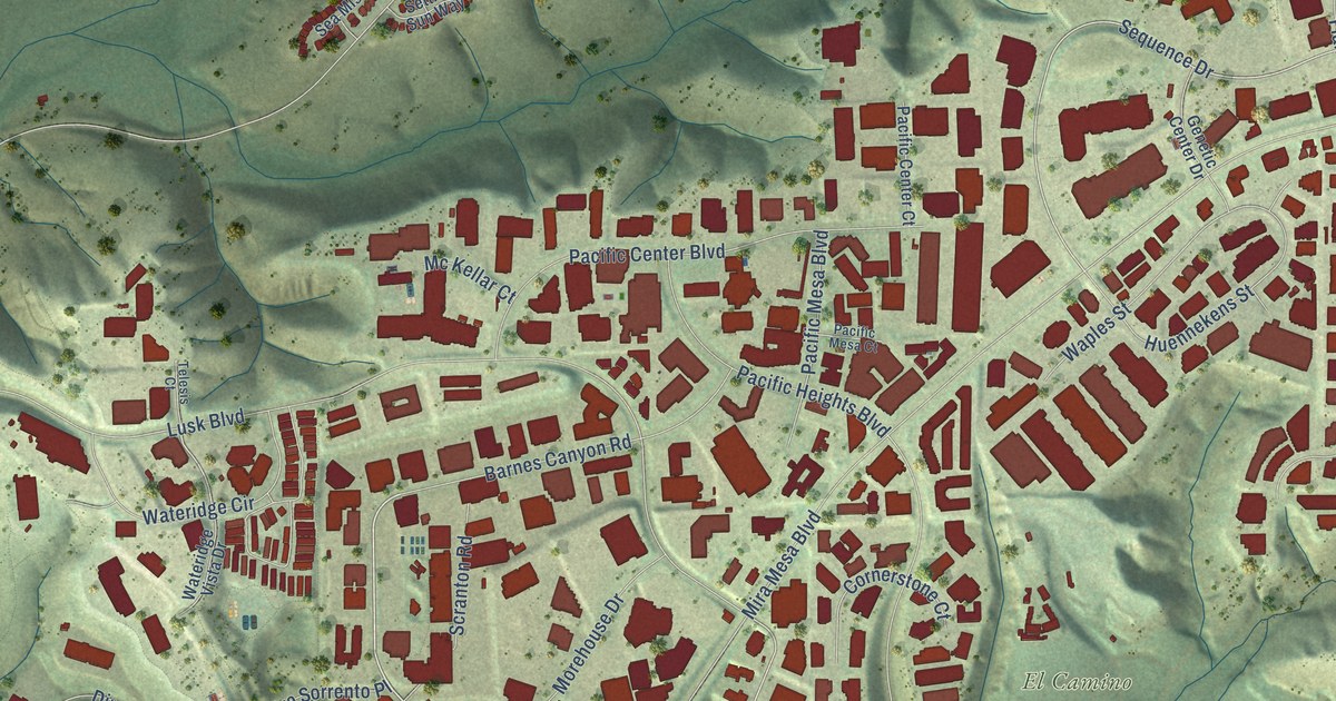
A detailed map of Sorrento Valley, California, showing every building in its true location, the roads by name, and shaded topographical relief.
Read More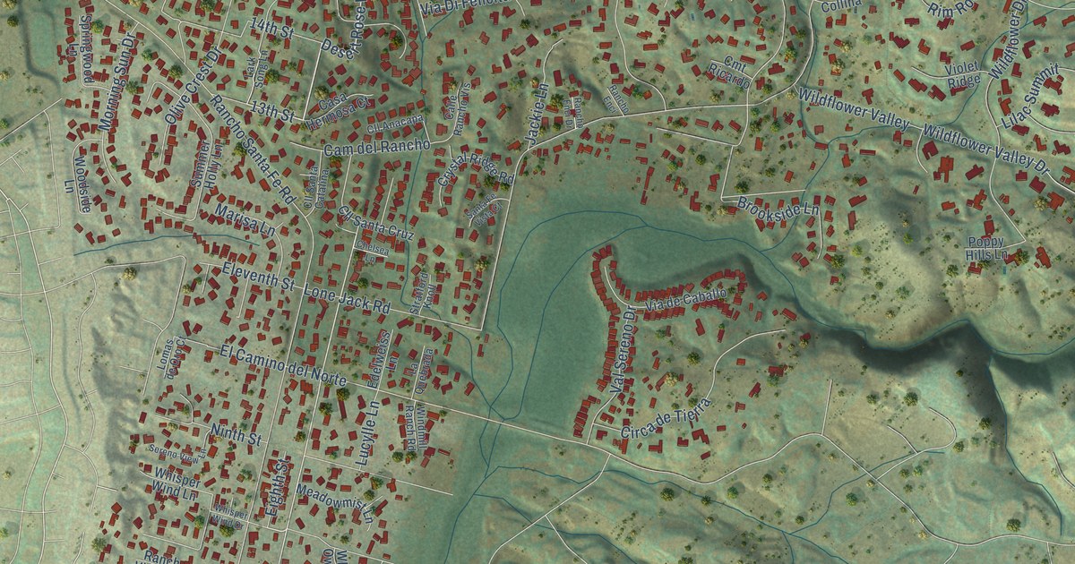
A detailed map of Olivenhain, California, showing every building in its true location, the roads by name, and shaded topographical relief.
Read More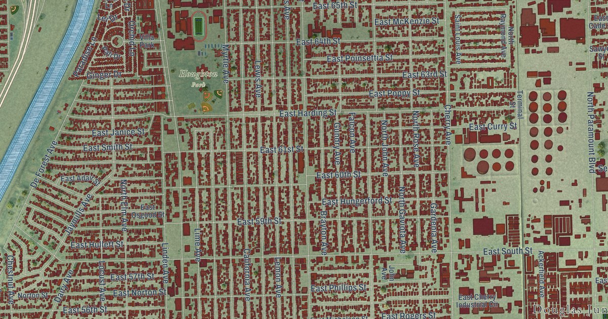
A detailed map of North Long Beach, California, showing every building in its true location, the roads by name, and shaded topographical relief.
Read More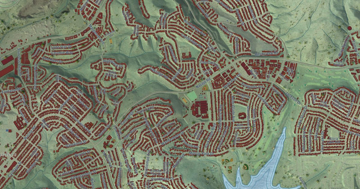
A detailed map of Navajo, California, showing every building in its true location, the roads by name, and shaded topographical relief.
Read More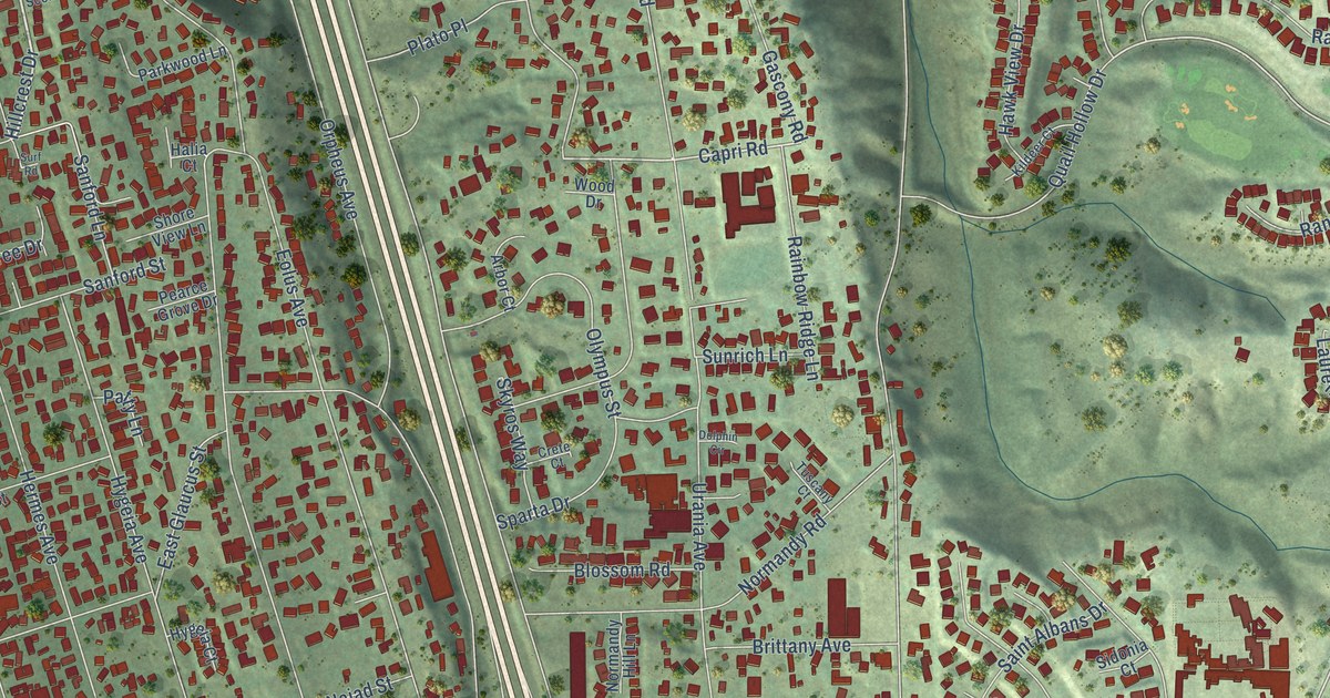
A detailed map of Leucadia, California, showing every building in its true location, the roads by name, and shaded topographical relief.
Read More















