Detailed Map of Berryessa, California
A detailed map of Berryessa, California, showing every building in its true location, the roads by name, and shaded topographical relief.
Read More
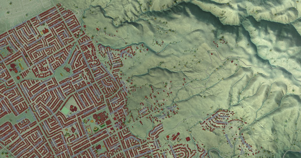
A detailed map of Berryessa, California, showing every building in its true location, the roads by name, and shaded topographical relief.
Read More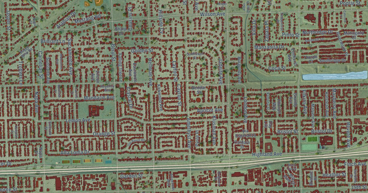
A detailed map of Alta Loma, California, showing every building in its true location, the roads by name, and shaded topographical relief.
Read More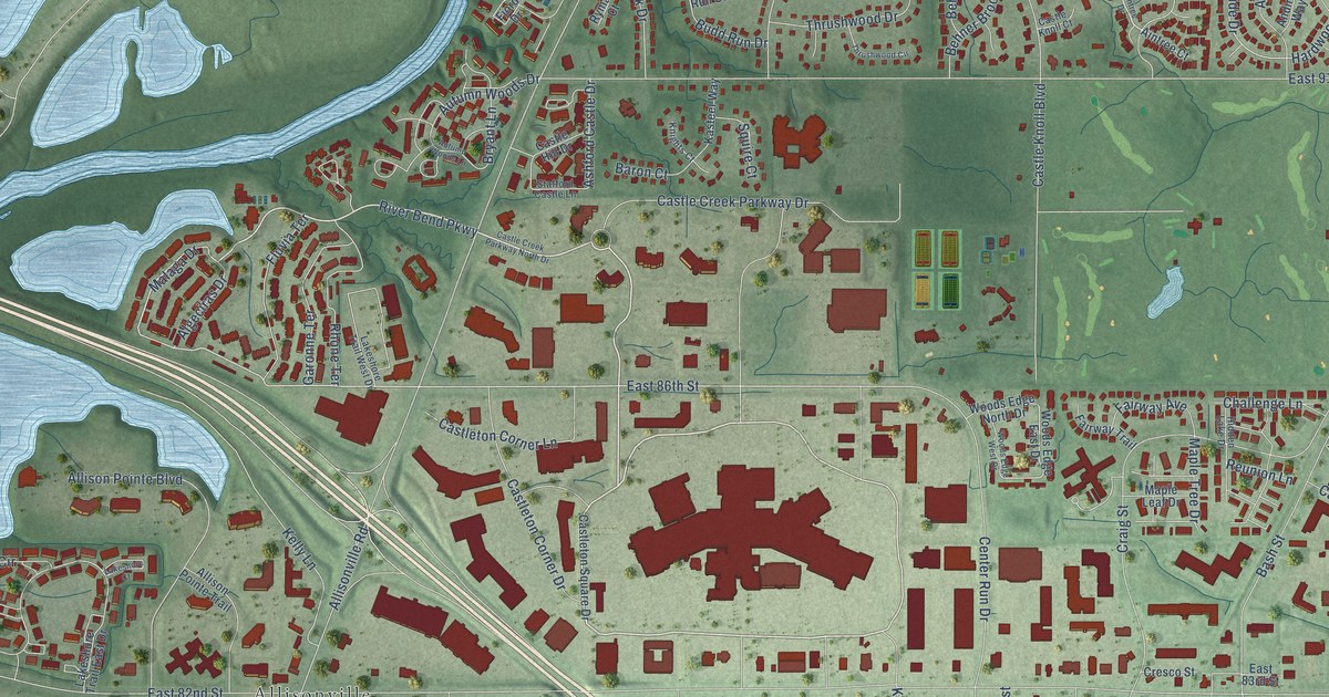
A detailed map of Castleton, Indiana, showing every building in its true location, the roads by name, and shaded topographical relief.
Read More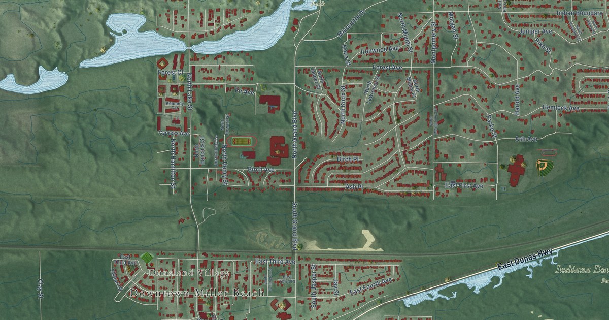
A detailed map of Miller, Indiana, showing every building in its true location, the roads by name, and shaded topographical relief.
Read More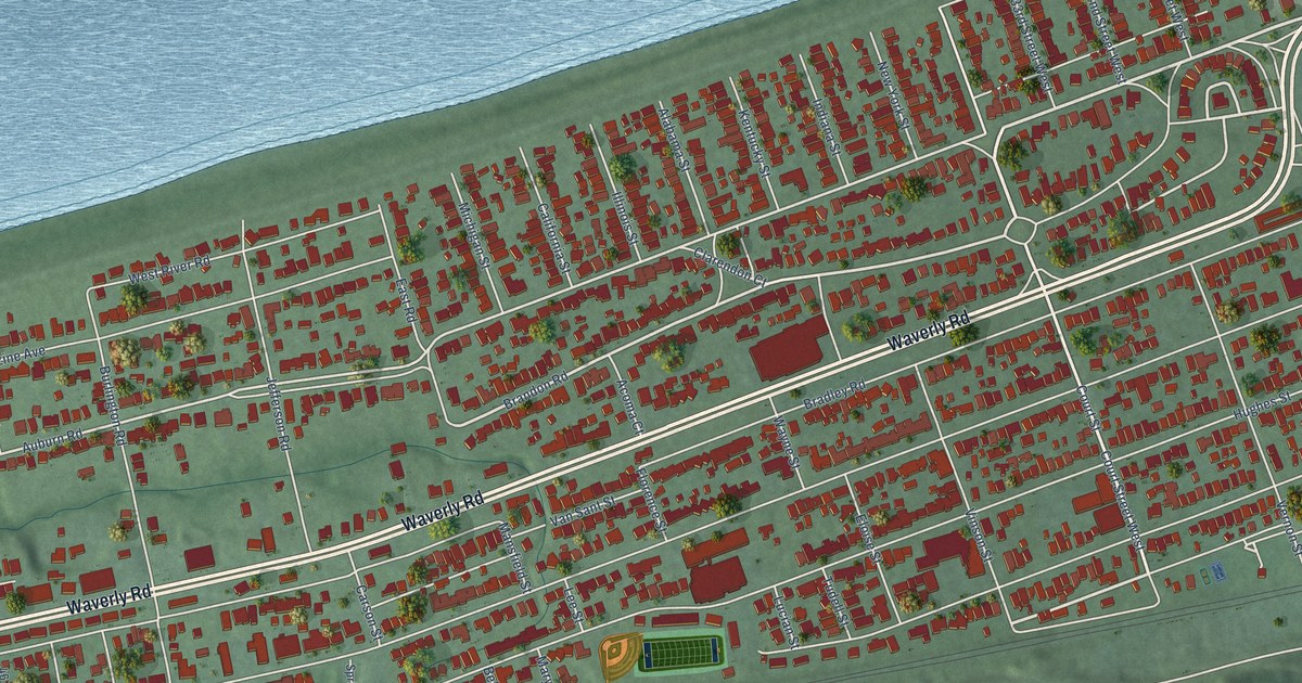
A detailed map of Westmoreland, West Virginia, showing every building in its true location, the roads by name, and shaded topographical relief.
Read More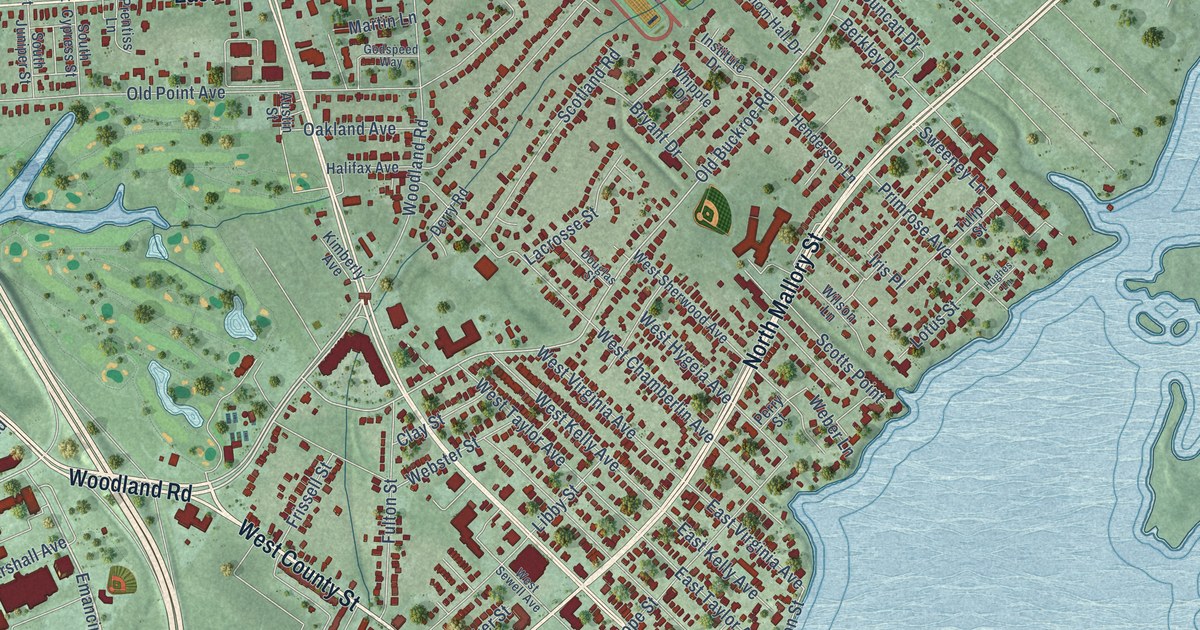
A detailed map of Phoebus, Virginia, showing every building in its true location, the roads by name, and shaded topographical relief.
Read More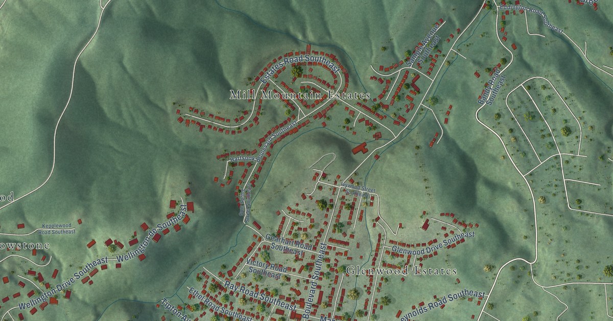
A detailed map of Garden City, Virginia, showing every building in its true location, the roads by name, and shaded topographical relief.
Read More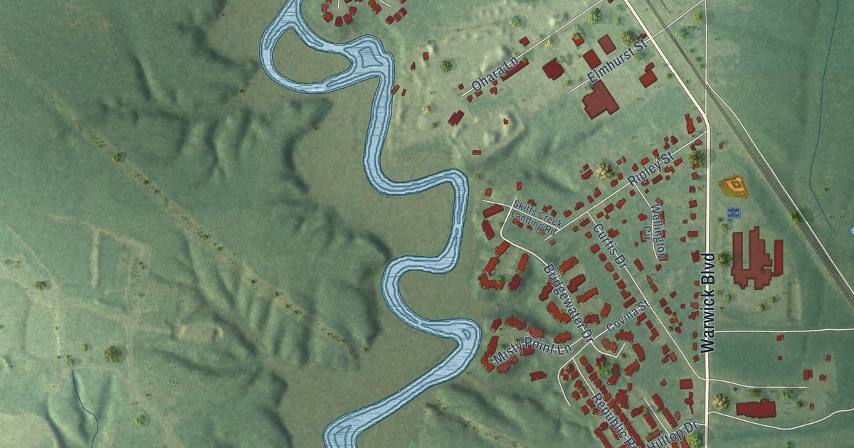
A detailed map of Lee Hall, Virginia, showing every building in its true location, the roads by name, and shaded topographical relief.
Read More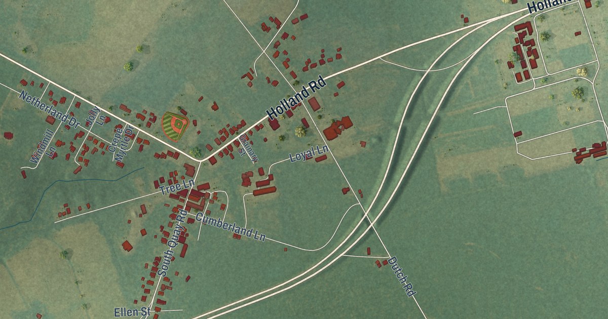
A detailed map of Holland, Virginia, showing every building in its true location, the roads by name, and shaded topographical relief.
Read More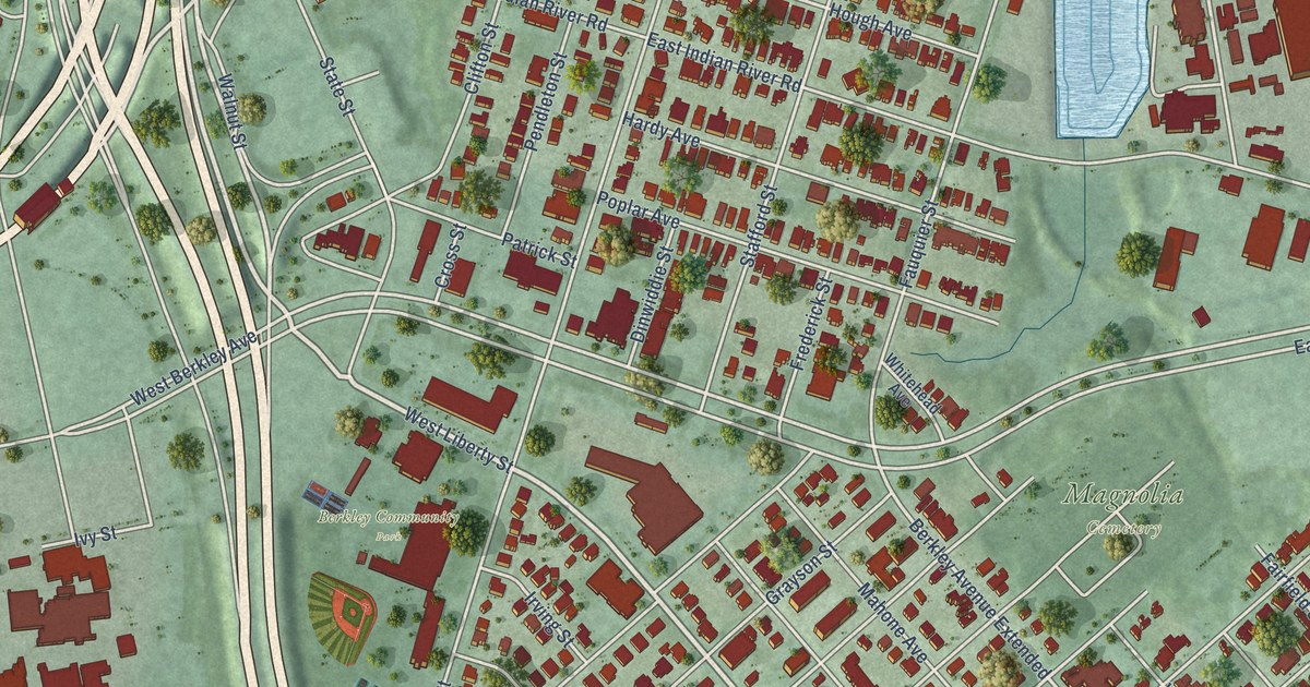
A detailed map of Berkley, Virginia, showing every building in its true location, the roads by name, and shaded topographical relief.
Read More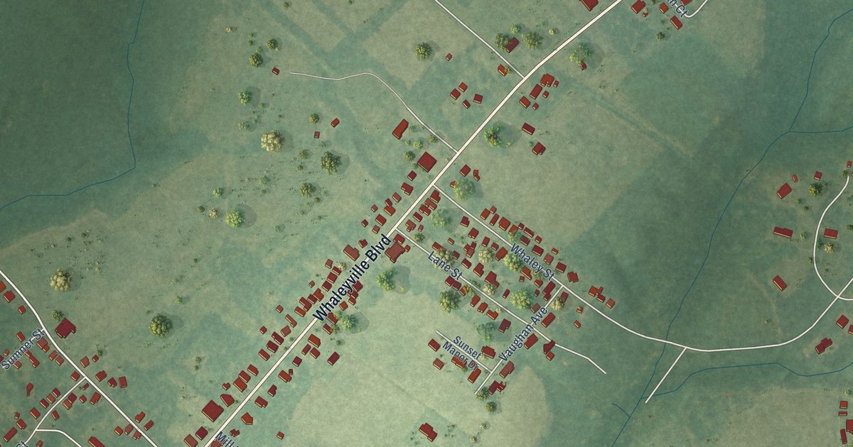
A detailed map of Whaleyville, Virginia, showing every building in its true location, the roads by name, and shaded topographical relief.
Read More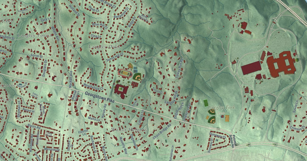
A detailed map of Langley, Virginia, showing every building in its true location, the roads by name, and shaded topographical relief.
Read More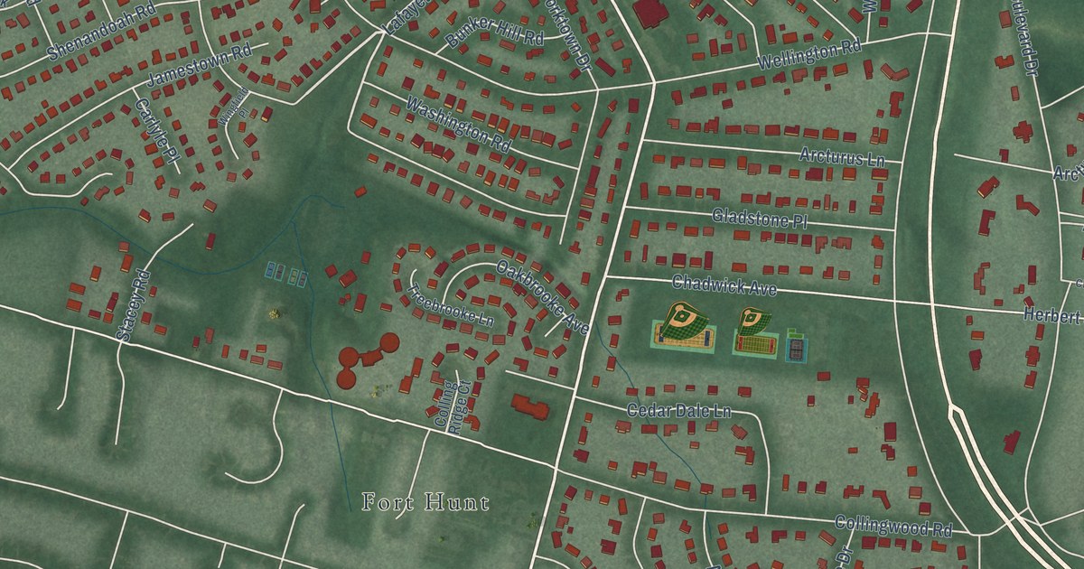
A detailed map of Waynewood, Virginia, showing every building in its true location, the roads by name, and shaded topographical relief.
Read More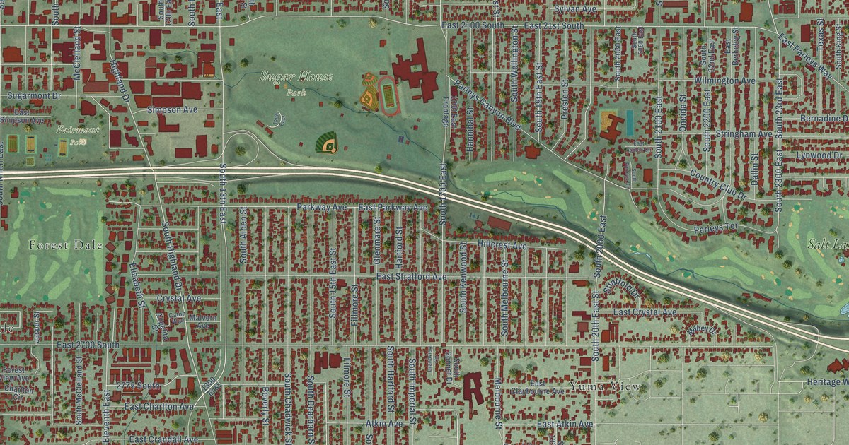
A detailed map of Sugar House, Utah, showing every building in its true location, the roads by name, and shaded topographical relief.
Read More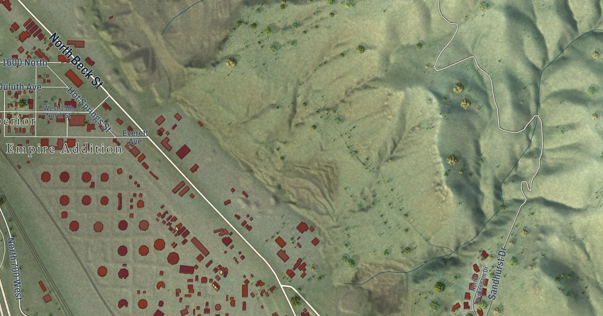
A detailed map of Capitol Hill, Utah, showing every building in its true location, the roads by name, and shaded topographical relief.
Read More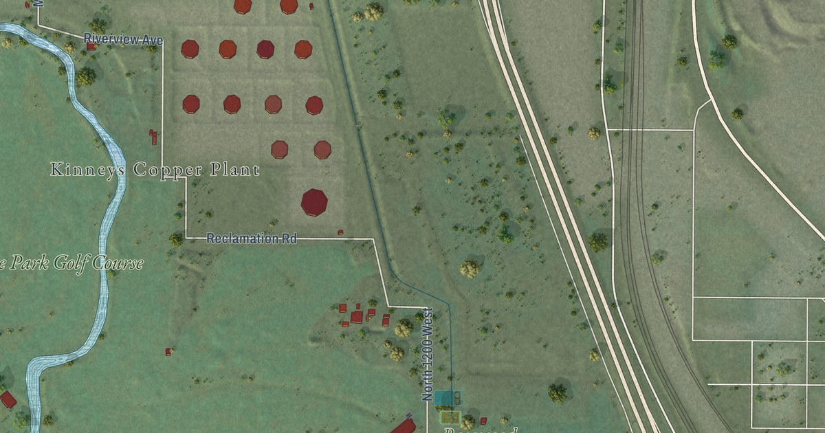
A detailed map of Rose Park, Utah, showing every building in its true location, the roads by name, and shaded topographical relief.
Read More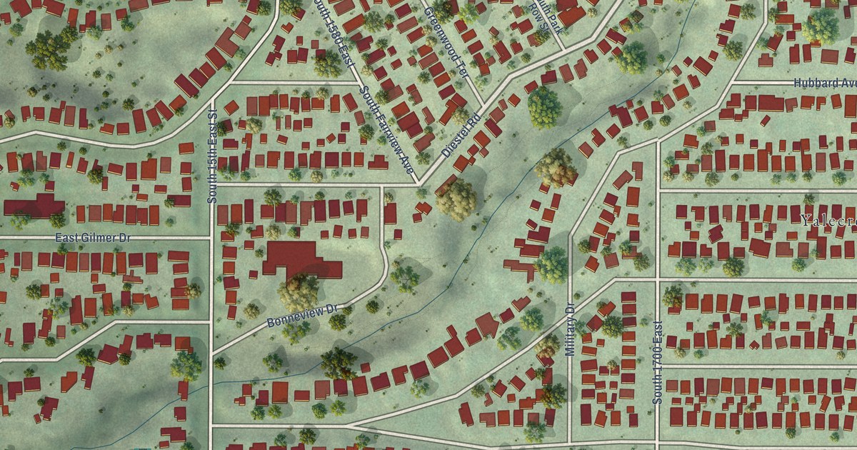
A detailed map of Yalecrest, Utah, showing every building in its true location, the roads by name, and shaded topographical relief.
Read More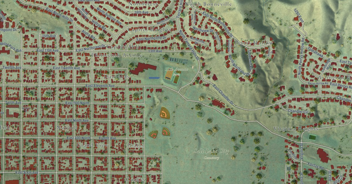
A detailed map of The Avenues, Utah, showing every building in its true location, the roads by name, and shaded topographical relief.
Read More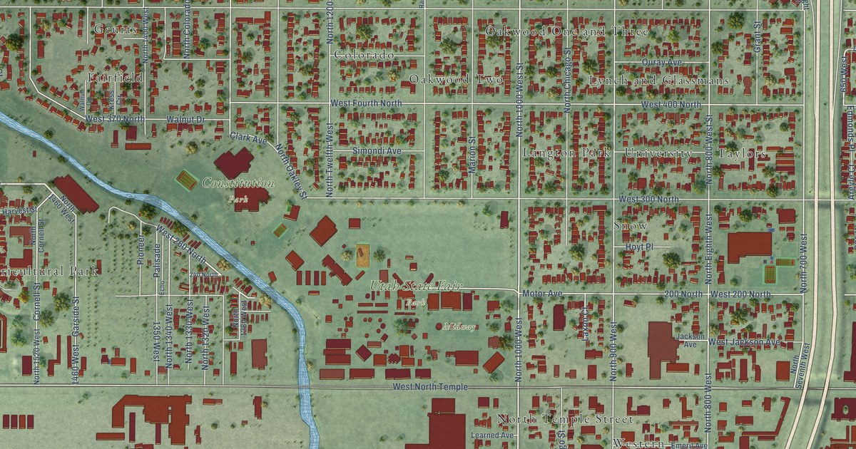
A detailed map of Fairpark, Utah, showing every building in its true location, the roads by name, and shaded topographical relief.
Read More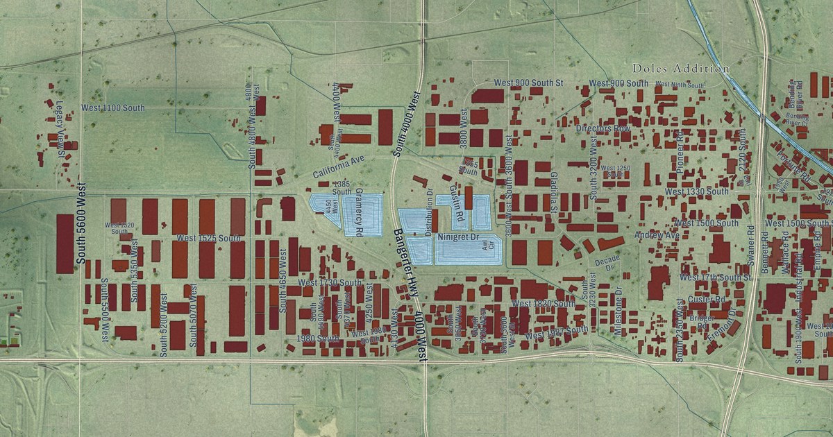
A detailed map of Glendale, Utah, showing every building in its true location, the roads by name, and shaded topographical relief.
Read More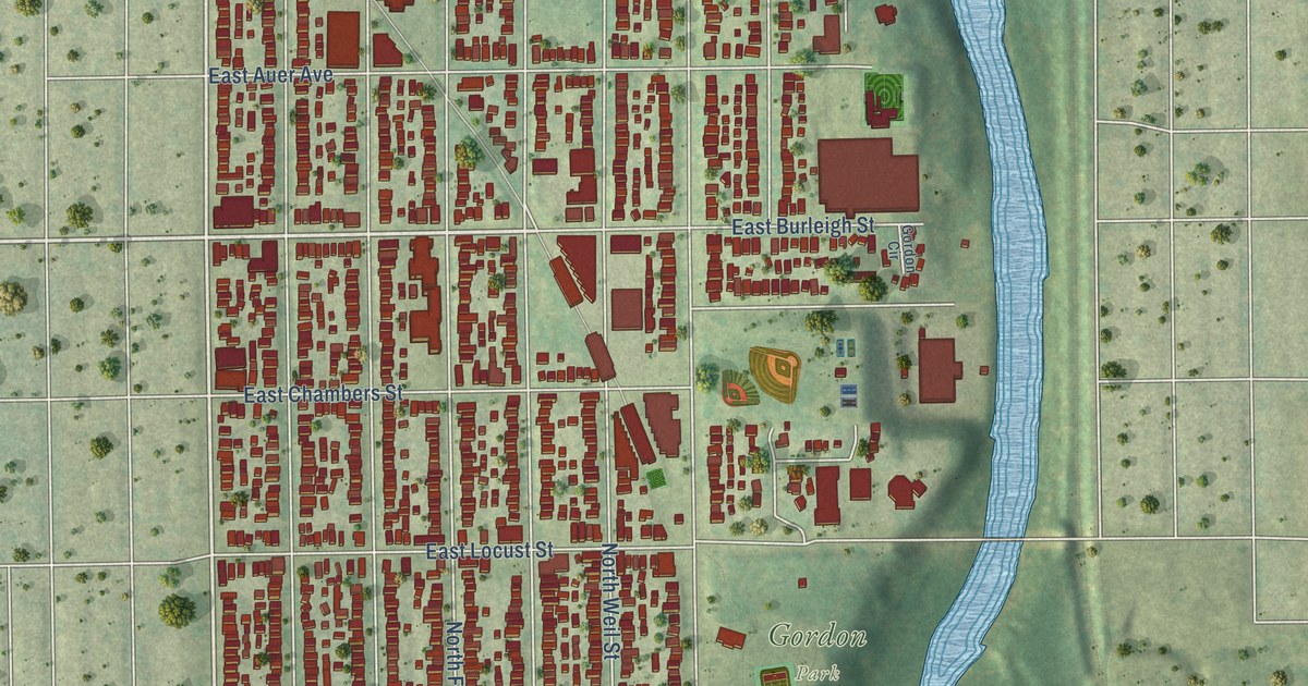
A detailed map of Riverwest, Wisconsin, showing every building in its true location, the roads by name, and shaded topographical relief.
Read More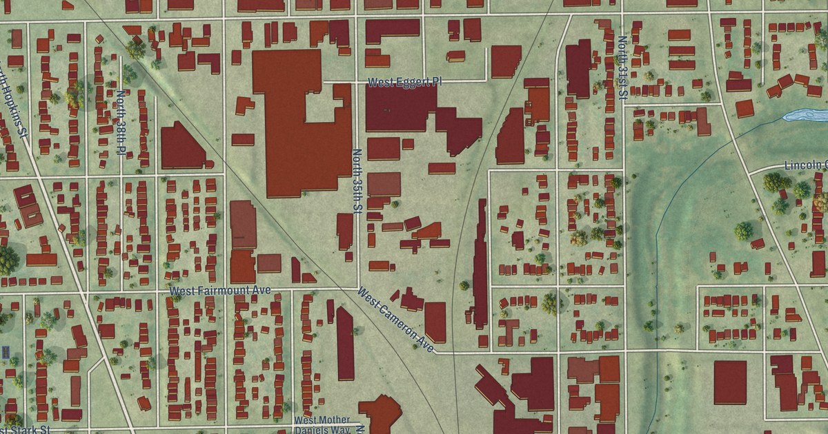
A detailed map of Old North Milwaukee, Wisconsin, showing every building in its true location, the roads by name, and shaded topographical relief.
Read More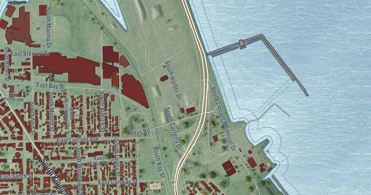
A detailed map of Bay View, Wisconsin, showing every building in its true location, the roads by name, and shaded topographical relief.
Read More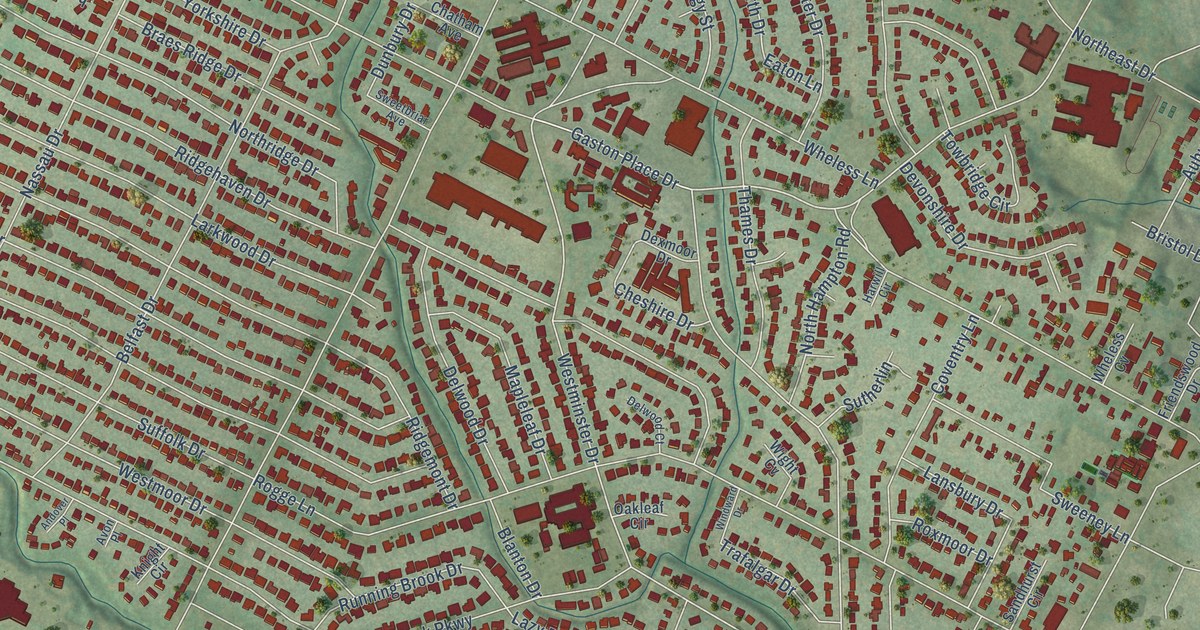
A detailed map of Windsor Park, Texas, showing every building in its true location, the roads by name, and shaded topographical relief.
Read More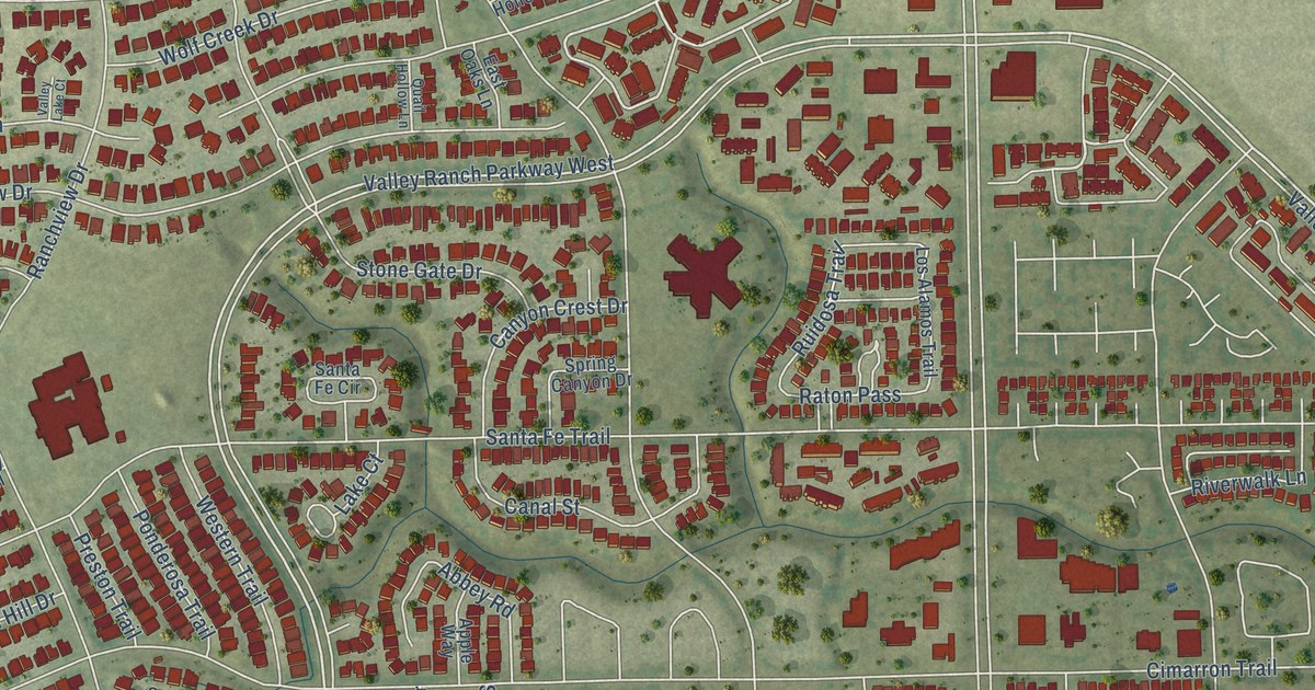
A detailed map of Valley Ranch, Texas, showing every building in its true location, the roads by name, and shaded topographical relief.
Read More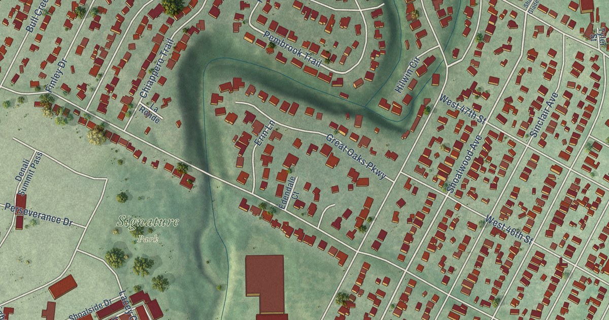
A detailed map of Rosedale, Texas, showing every building in its true location, the roads by name, and shaded topographical relief.
Read More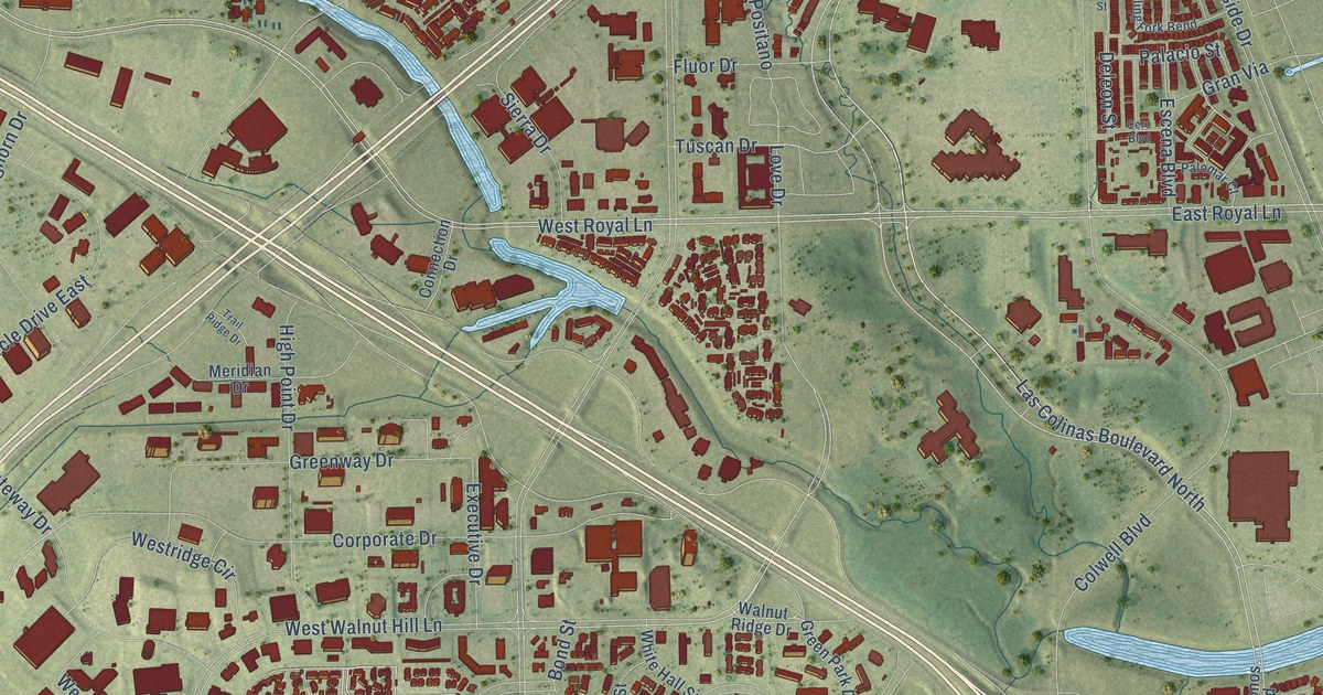
A detailed map of Las Colinas, Texas, showing every building in its true location, the roads by name, and shaded topographical relief.
Read More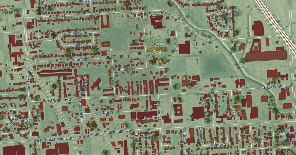
A detailed map of Independence Heights, Texas, showing every building in its true location, the roads by name, and shaded topographical relief.
Read More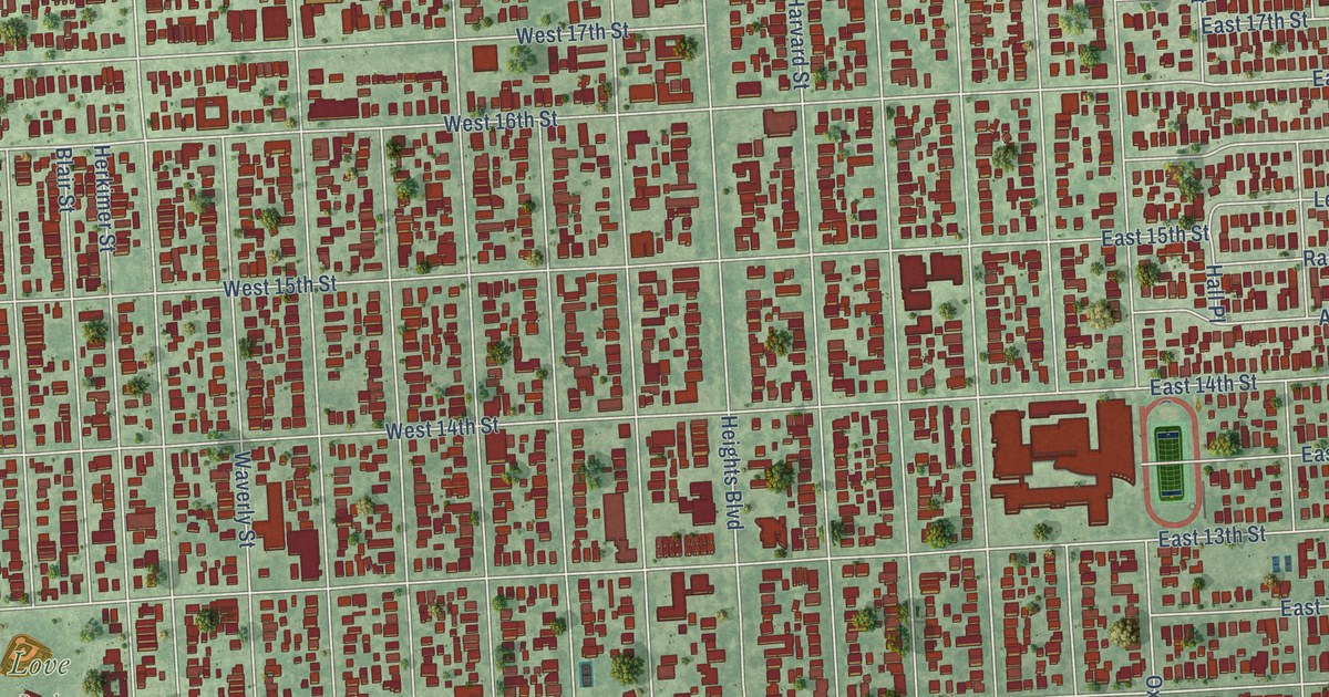
A detailed map of Houston Heights, Texas, showing every building in its true location, the roads by name, and shaded topographical relief.
Read More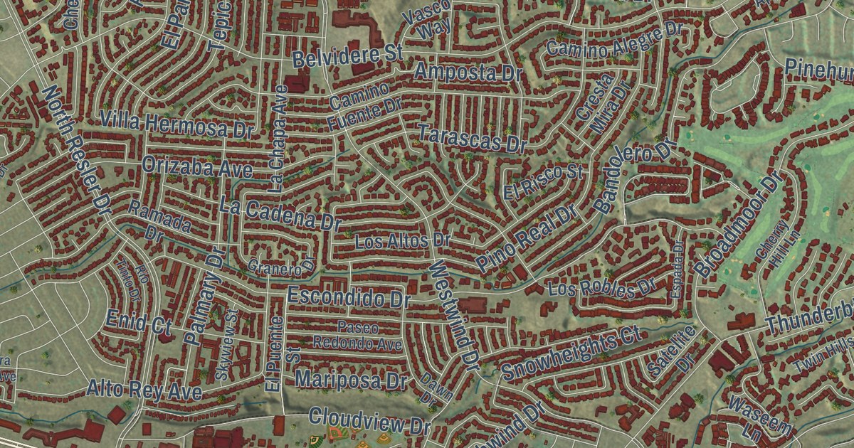
A detailed map of El Segundo Barrio, Texas, showing every building in its true location, the roads by name, and shaded topographical relief.
Read More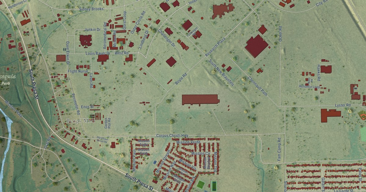
A detailed map of Brooks, Texas, showing every building in its true location, the roads by name, and shaded topographical relief.
Read More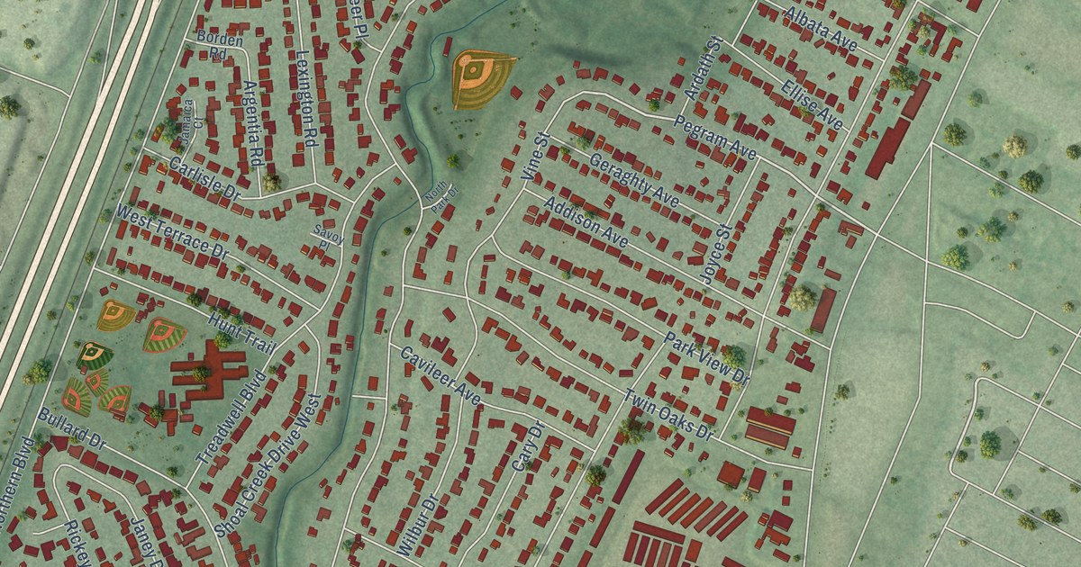
A detailed map of Allandale, Texas, showing every building in its true location, the roads by name, and shaded topographical relief.
Read More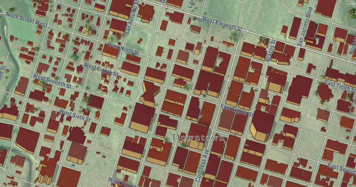
A detailed map of Downtown Austin, Texas, showing every building in its true location, the roads by name, and shaded topographical relief.
Read More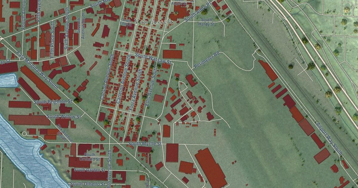
A detailed map of Georgetown, Washington, showing every building in its true location, the roads by name, and shaded topographical relief.
Read More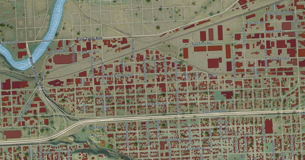
A detailed map of East Central, Washington, showing every building in its true location, the roads by name, and shaded topographical relief.
Read More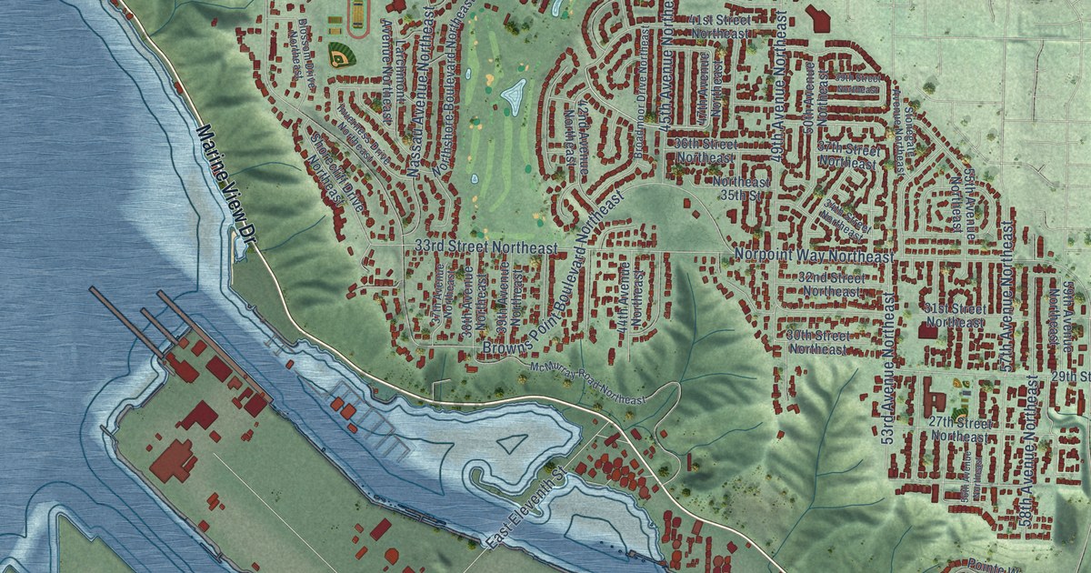
A detailed map of Northeast Tacoma, Washington, showing every building in its true location, the roads by name, and shaded topographical relief.
Read More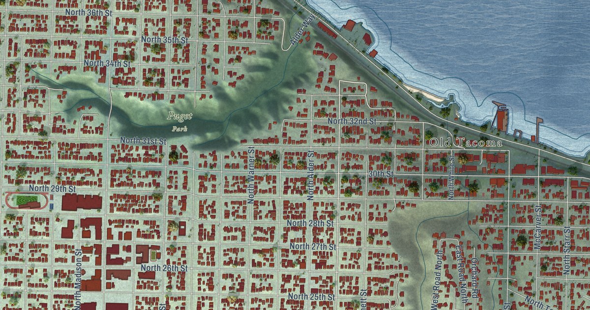
A detailed map of North End, Washington, showing every building in its true location, the roads by name, and shaded topographical relief.
Read More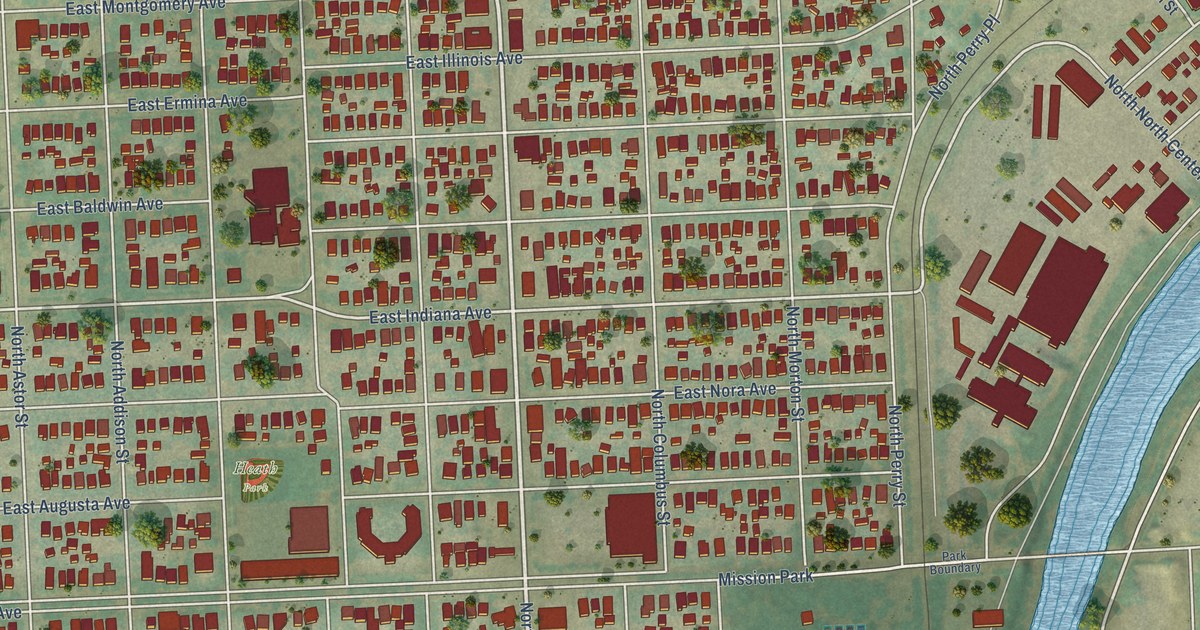
A detailed map of Logan, Washington, showing every building in its true location, the roads by name, and shaded topographical relief.
Read More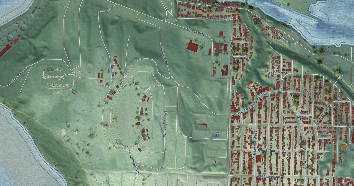
A detailed map of Lawton Park, Washington, showing every building in its true location, the roads by name, and shaded topographical relief.
Read More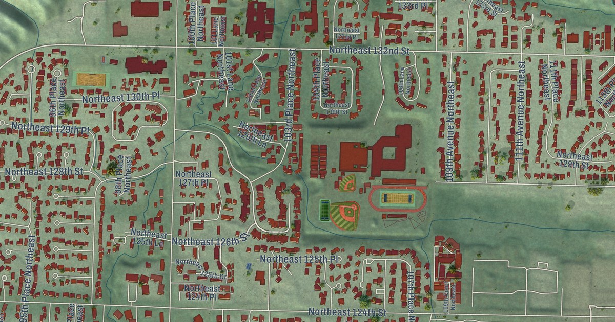
A detailed map of Juanita, Washington, showing every building in its true location, the roads by name, and shaded topographical relief.
Read More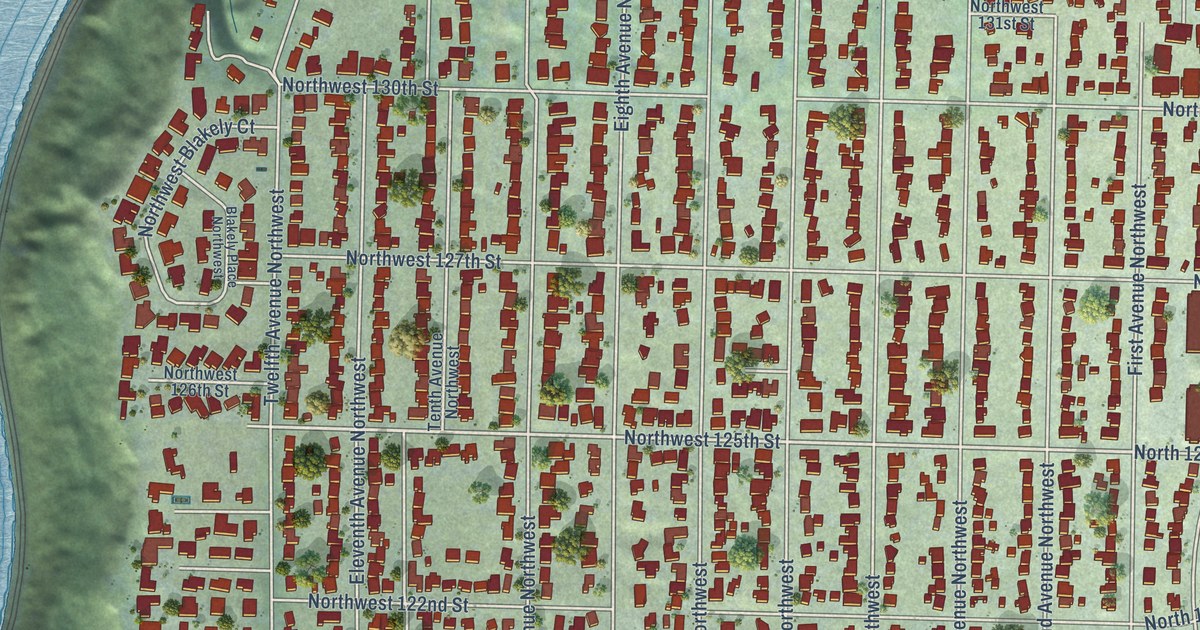
A detailed map of Broadview, Washington, showing every building in its true location, the roads by name, and shaded topographical relief.
Read More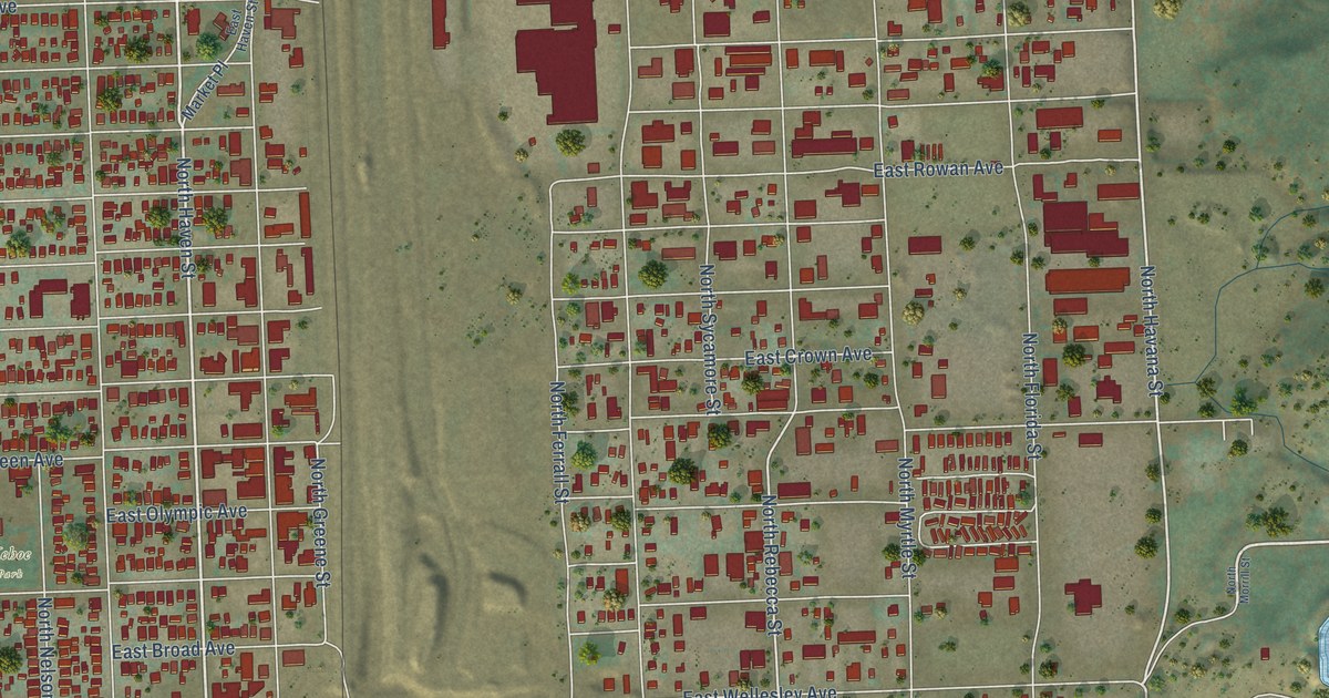
A detailed map of Hillyard, Washington, showing every building in its true location, the roads by name, and shaded topographical relief.
Read More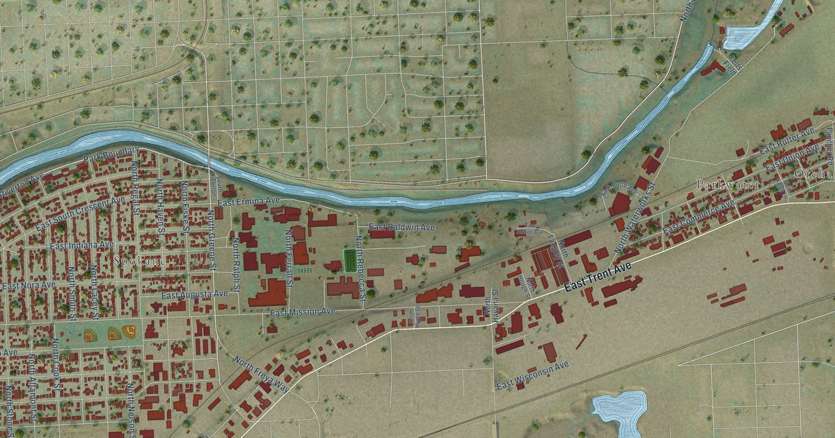
A detailed map of Chief Garry Park, Washington, showing every building in its true location, the roads by name, and shaded topographical relief.
Read More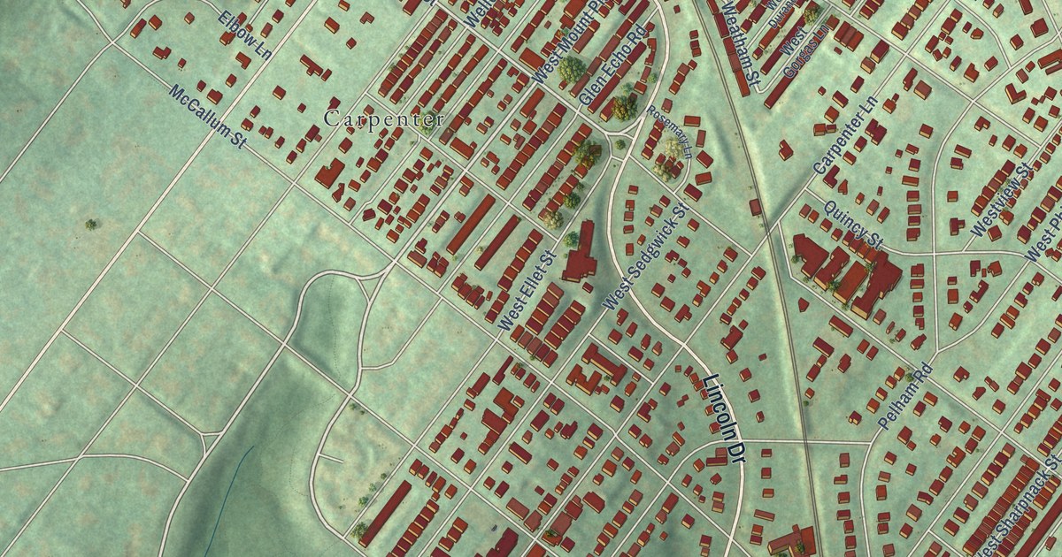
A detailed map of West Mount Airy, Pennsylvania, showing every building in its true location, the roads by name, and shaded topographical relief.
Read More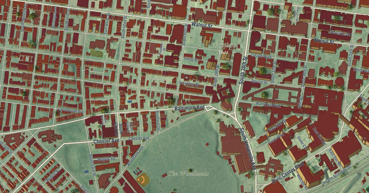
A detailed map of University City, Pennsylvania, showing every building in its true location, the roads by name, and shaded topographical relief.
Read More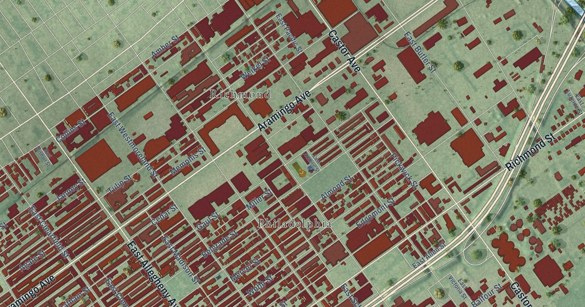
A detailed map of Port Richmond, Pennsylvania, showing every building in its true location, the roads by name, and shaded topographical relief.
Read More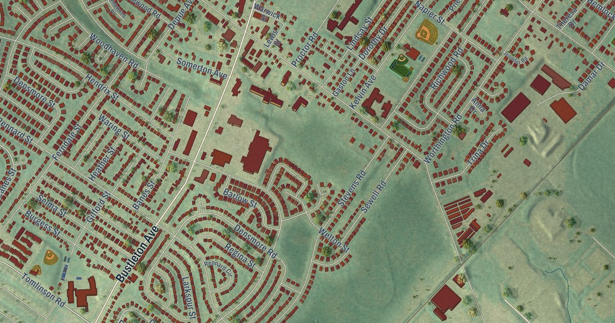
A detailed map of Somerton, Pennsylvania, showing every building in its true location, the roads by name, and shaded topographical relief.
Read More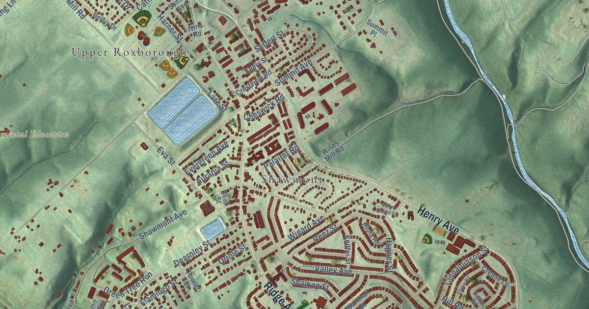
A detailed map of Roxborough, Pennsylvania, showing every building in its true location, the roads by name, and shaded topographical relief.
Read More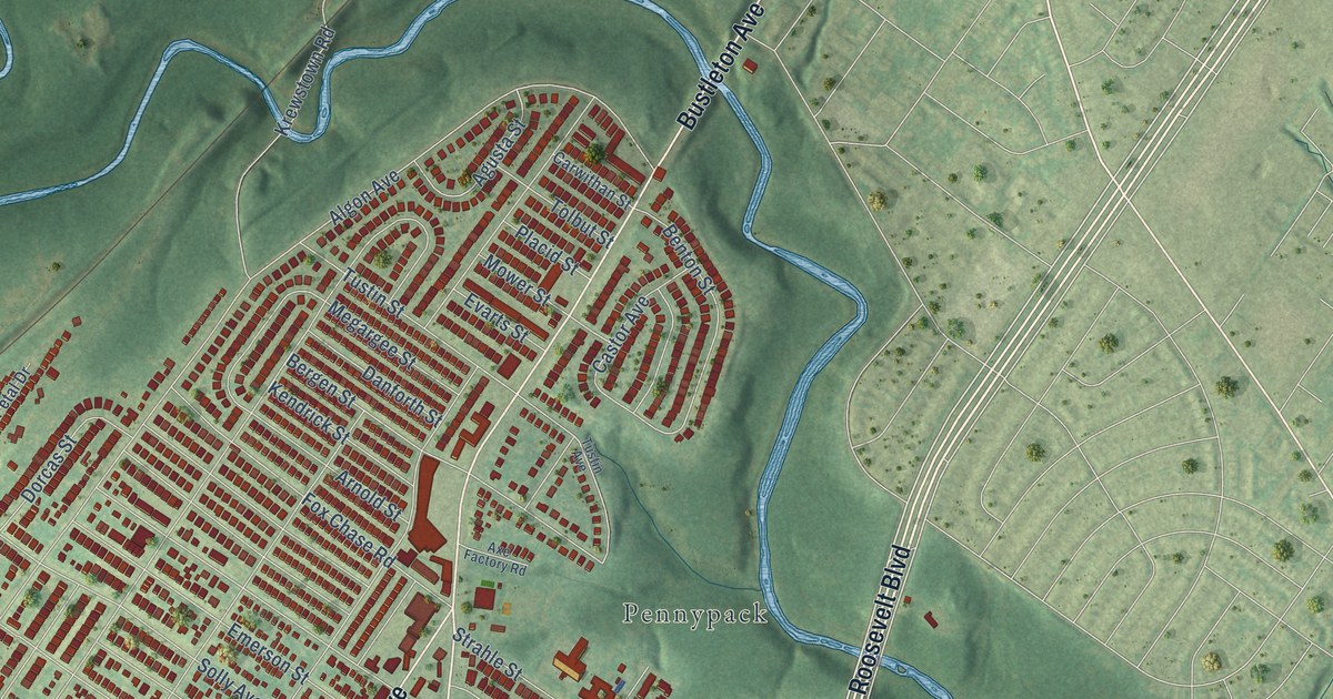
A detailed map of Rhawnhurst, Pennsylvania, showing every building in its true location, the roads by name, and shaded topographical relief.
Read More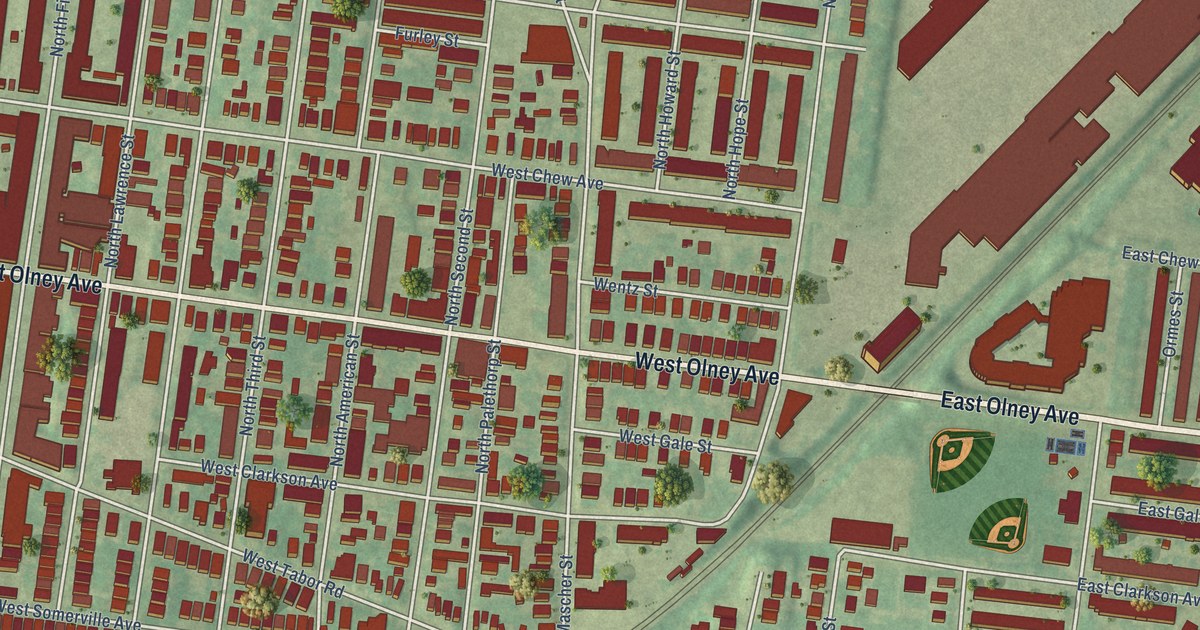
A detailed map of Olney, Pennsylvania, showing every building in its true location, the roads by name, and shaded topographical relief.
Read More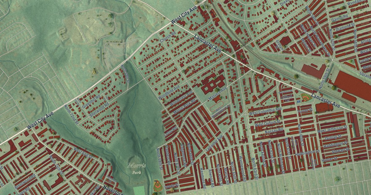
A detailed map of Overbrook, Pennsylvania, showing every building in its true location, the roads by name, and shaded topographical relief.
Read More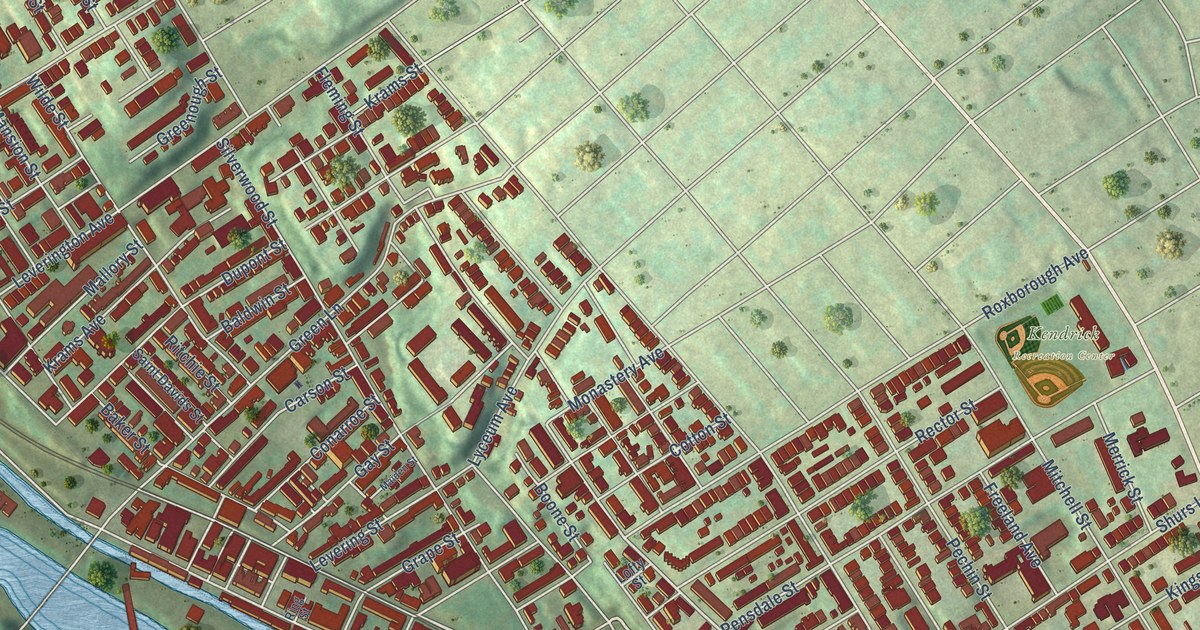
A detailed map of Manayunk, Pennsylvania, showing every building in its true location, the roads by name, and shaded topographical relief.
Read More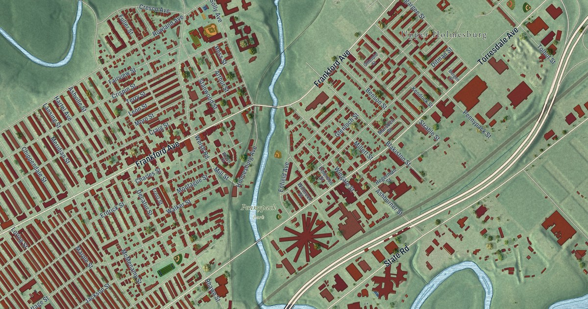
A detailed map of Holmesburg, Pennsylvania, showing every building in its true location, the roads by name, and shaded topographical relief.
Read More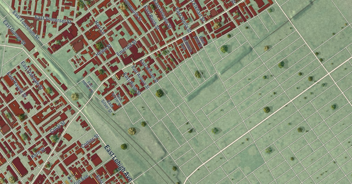
A detailed map of Kensington, Pennsylvania, showing every building in its true location, the roads by name, and shaded topographical relief.
Read More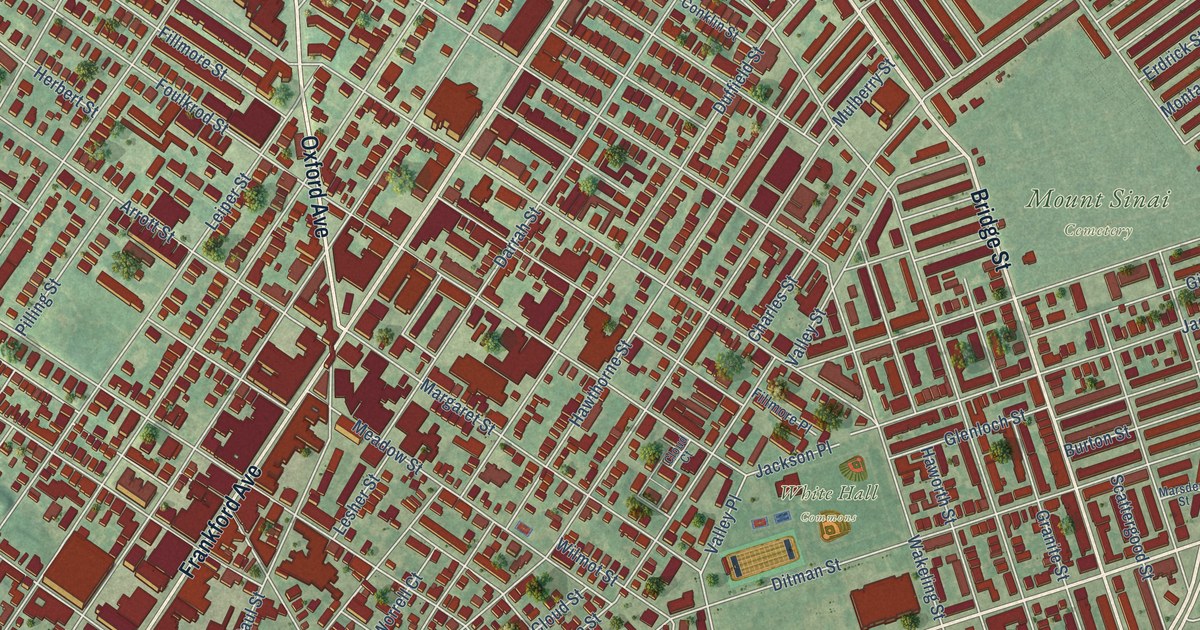
A detailed map of Frankford, Pennsylvania, showing every building in its true location, the roads by name, and shaded topographical relief.
Read More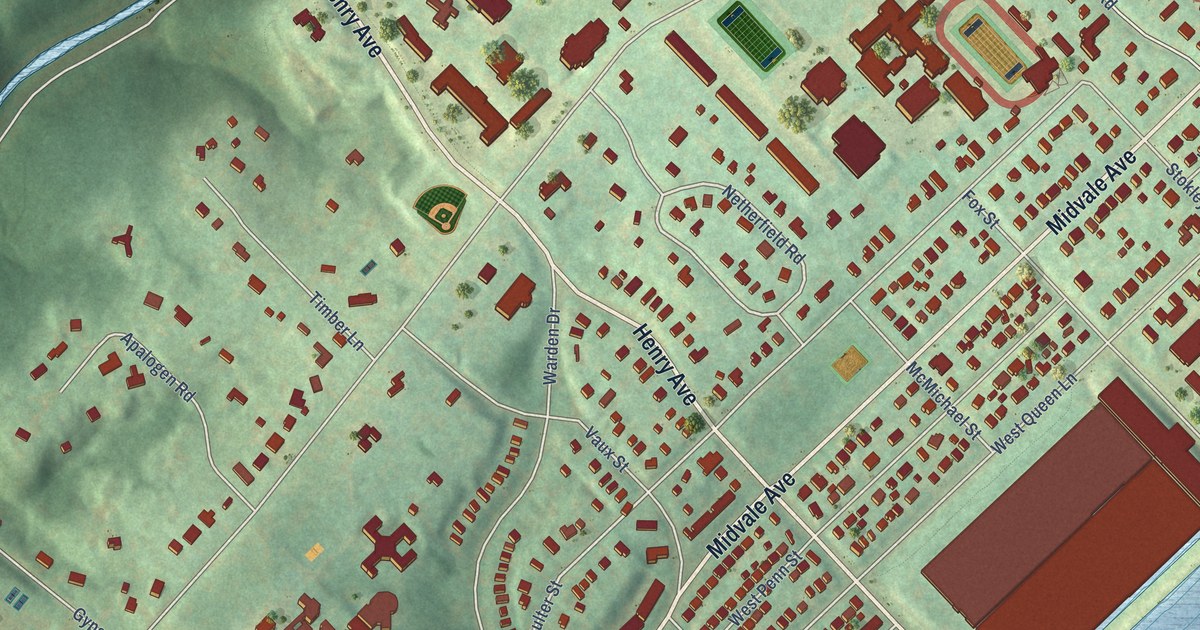
A detailed map of East Falls, Pennsylvania, showing every building in its true location, the roads by name, and shaded topographical relief.
Read More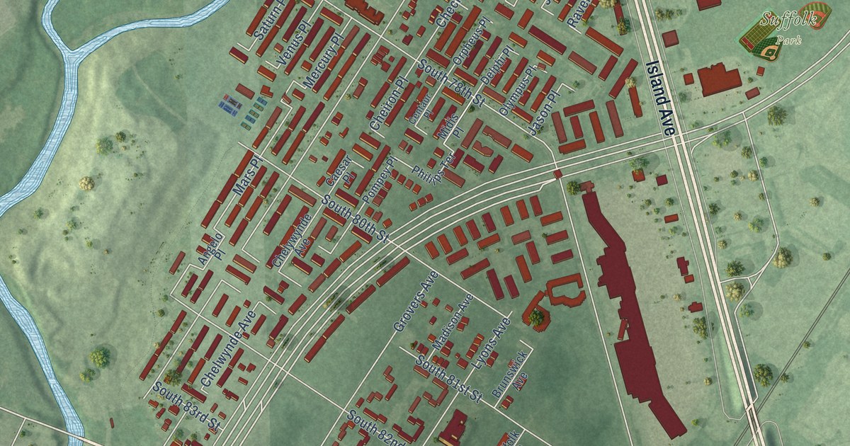
A detailed map of Eastwick, Pennsylvania, showing every building in its true location, the roads by name, and shaded topographical relief.
Read More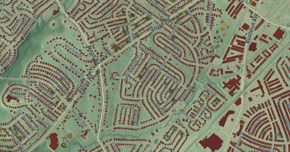
A detailed map of Bustleton, Pennsylvania, showing every building in its true location, the roads by name, and shaded topographical relief.
Read More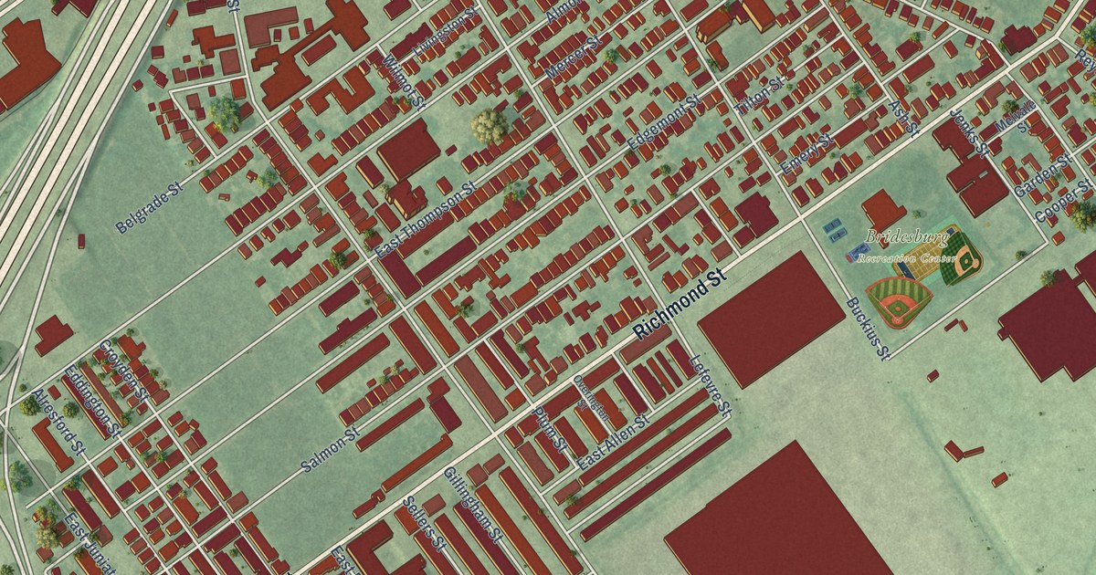
A detailed map of Bridesburg, Pennsylvania, showing every building in its true location, the roads by name, and shaded topographical relief.
Read More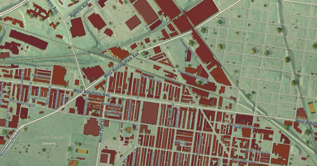
A detailed map of Allegheny West, Pennsylvania, showing every building in its true location, the roads by name, and shaded topographical relief.
Read More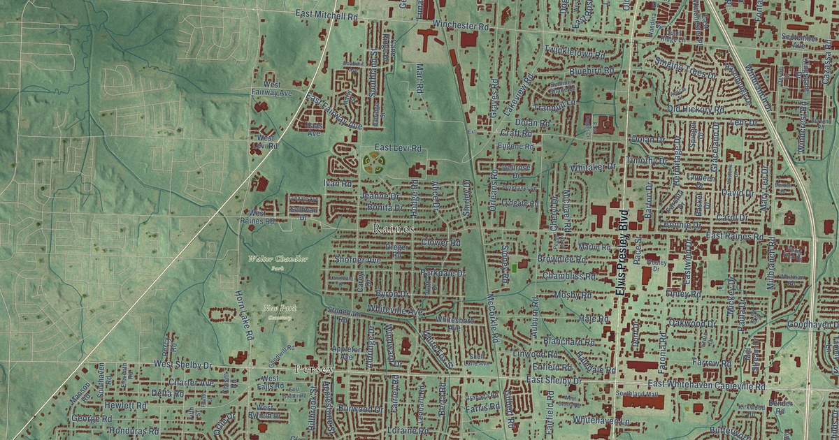
A detailed map of Whitehaven, Tennessee, showing every building in its true location, the roads by name, and shaded topographical relief.
Read More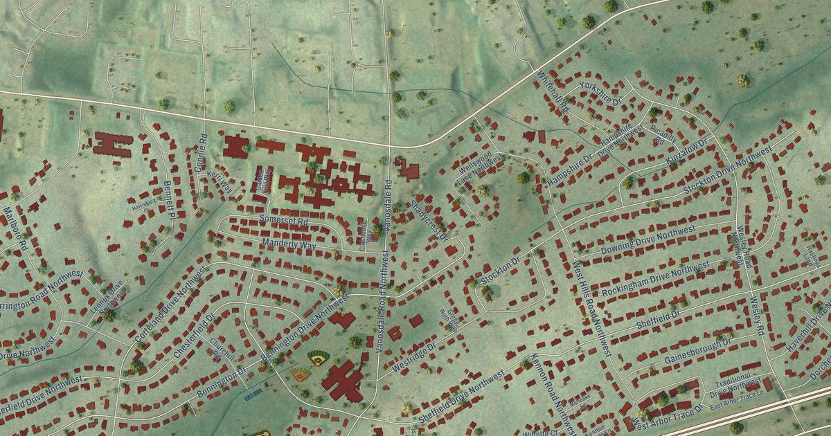
A detailed map of West Hills, Tennessee, showing every building in its true location, the roads by name, and shaded topographical relief.
Read More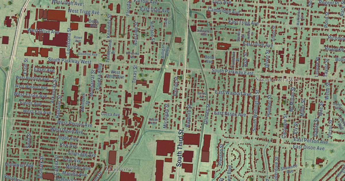
A detailed map of South Memphis, Tennessee, showing every building in its true location, the roads by name, and shaded topographical relief.
Read More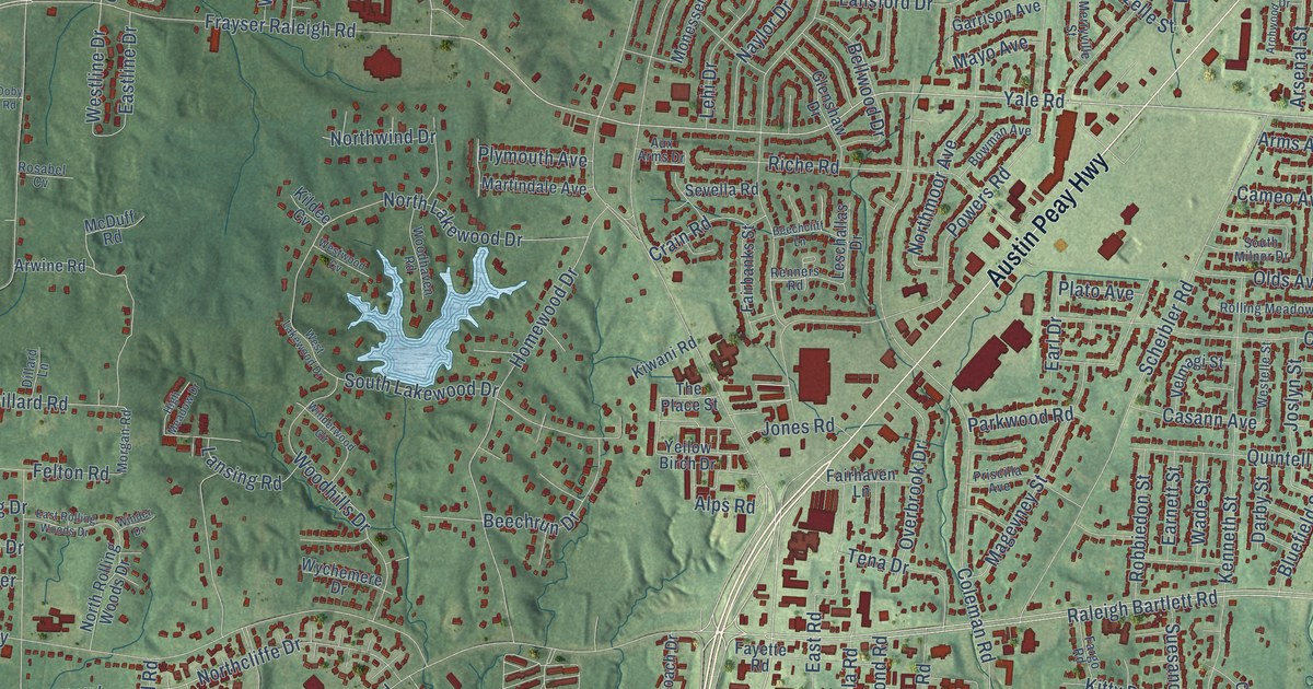
A detailed map of Raleigh, Tennessee, showing every building in its true location, the roads by name, and shaded topographical relief.
Read More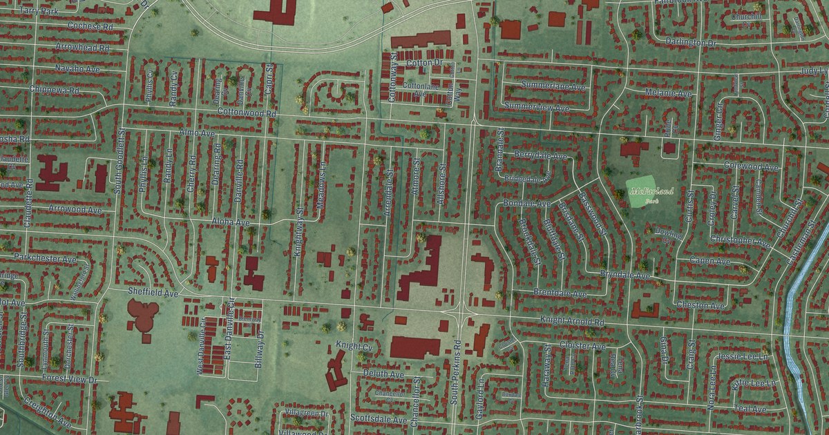
A detailed map of Parkway Village, Tennessee, showing every building in its true location, the roads by name, and shaded topographical relief.
Read More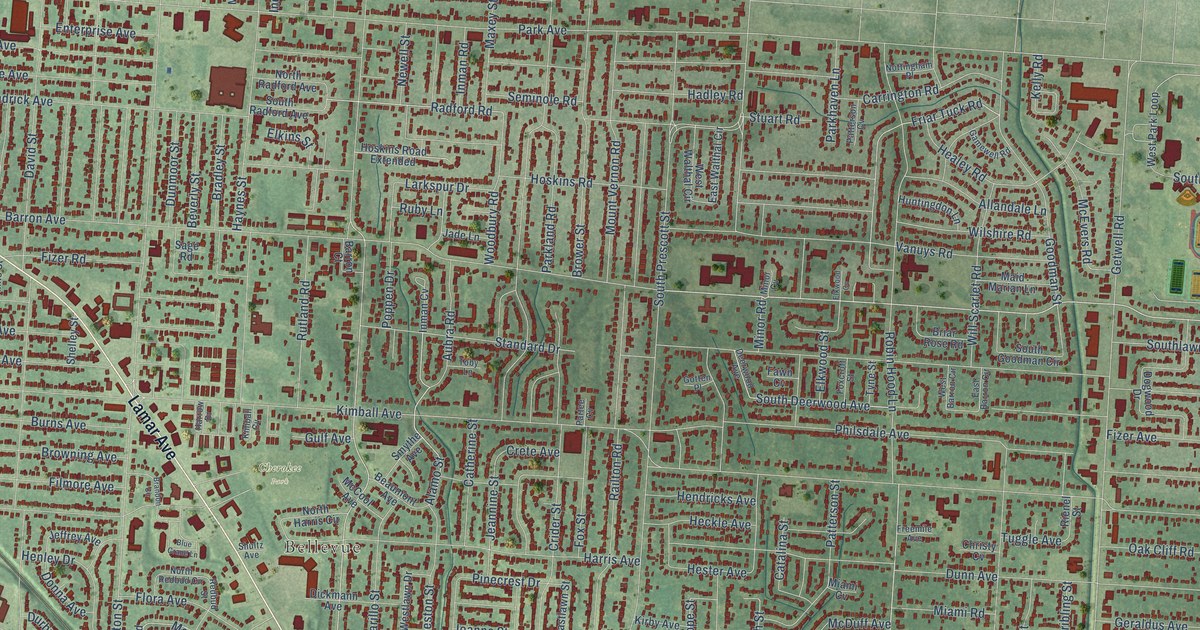
A detailed map of Orange Mound, Tennessee, showing every building in its true location, the roads by name, and shaded topographical relief.
Read More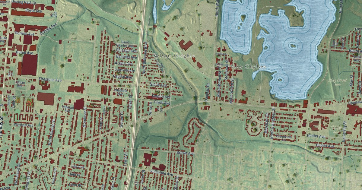
A detailed map of North Memphis, Tennessee, showing every building in its true location, the roads by name, and shaded topographical relief.
Read More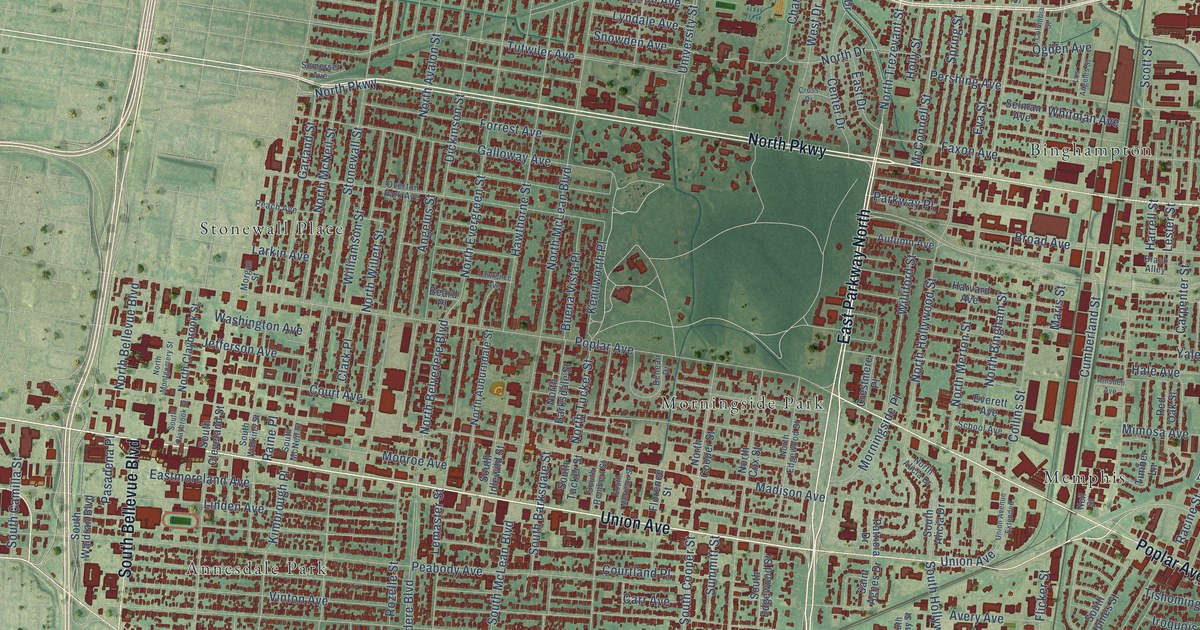
A detailed map of Midtown, Tennessee, showing every building in its true location, the roads by name, and shaded topographical relief.
Read More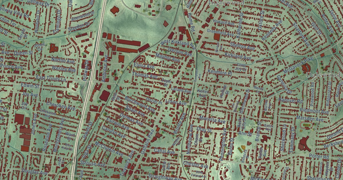
A detailed map of East Nashville, Tennessee, showing every building in its true location, the roads by name, and shaded topographical relief.
Read More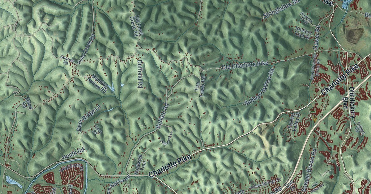
A detailed map of Bellevue, Tennessee, showing every building in its true location, the roads by name, and shaded topographical relief.
Read More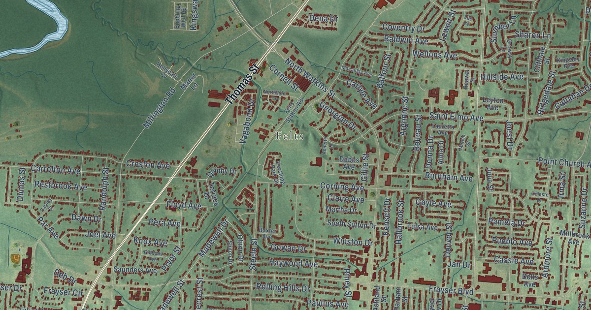
A detailed map of Frayser, Tennessee, showing every building in its true location, the roads by name, and shaded topographical relief.
Read More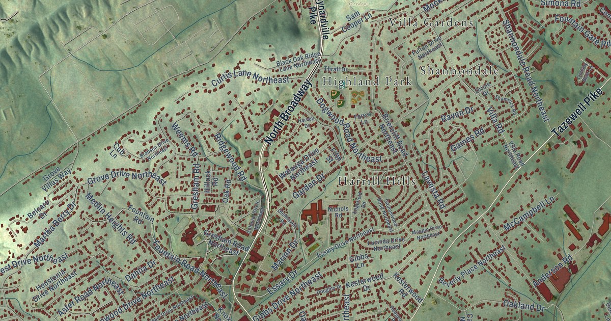
A detailed map of Fountain City, Tennessee, showing every building in its true location, the roads by name, and shaded topographical relief.
Read More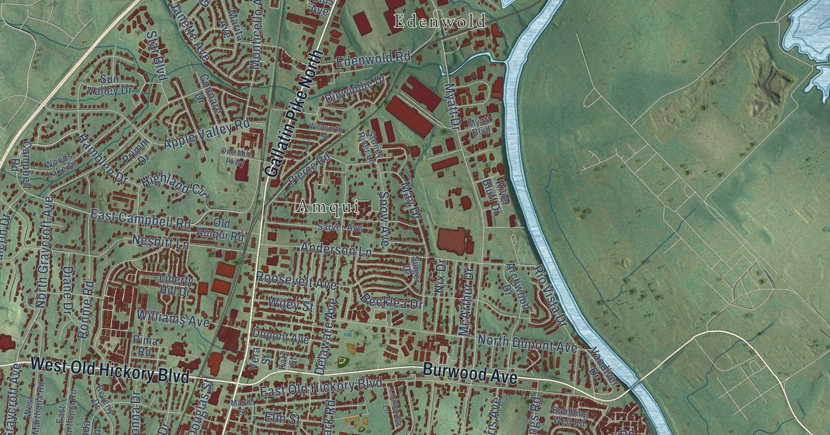
A detailed map of Madison, Tennessee, showing every building in its true location, the roads by name, and shaded topographical relief.
Read More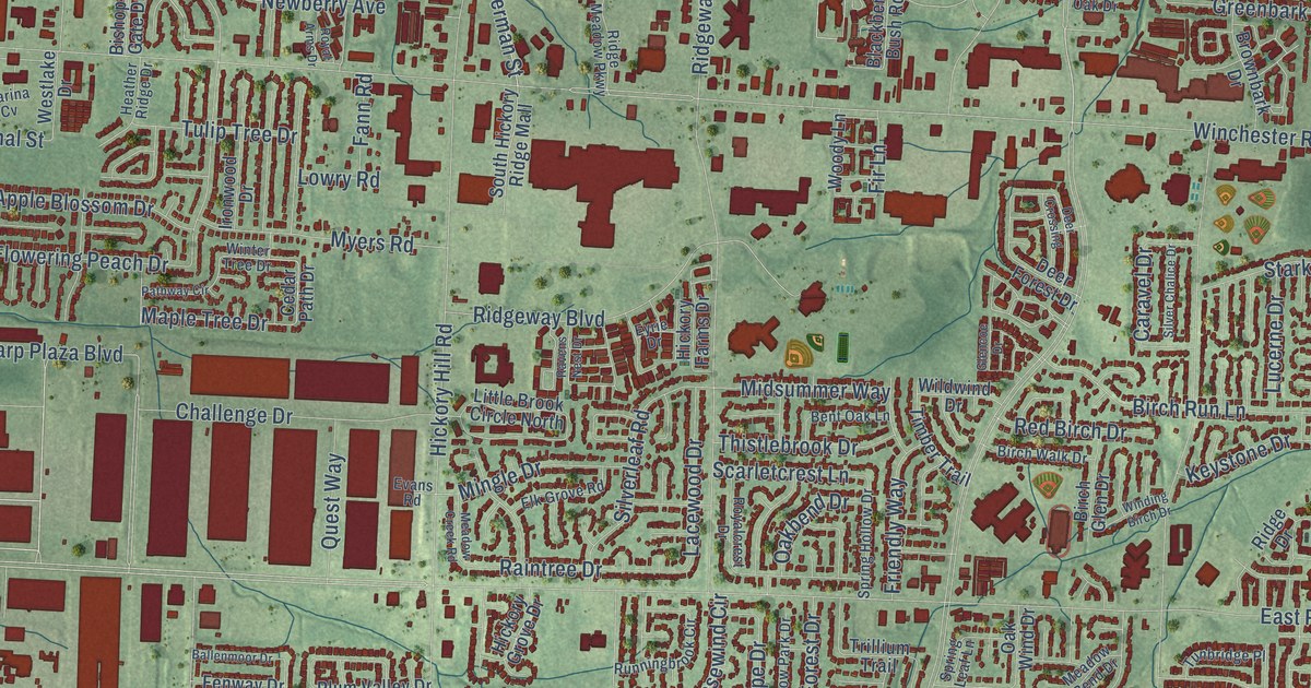
A detailed map of Hickory Hill, Tennessee, showing every building in its true location, the roads by name, and shaded topographical relief.
Read More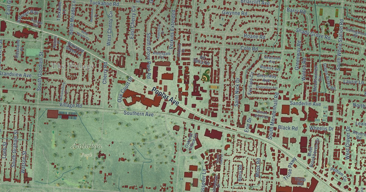
A detailed map of East Memphis, Tennessee, showing every building in its true location, the roads by name, and shaded topographical relief.
Read More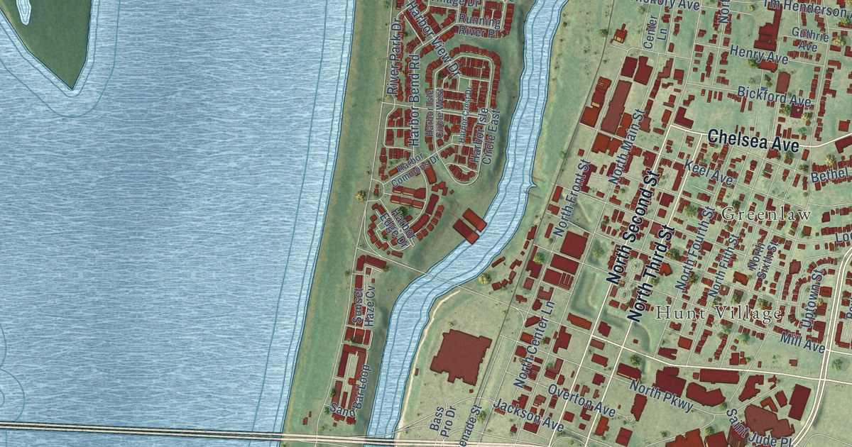
A detailed map of Downtown Memphis, Tennessee, showing every building in its true location, the roads by name, and shaded topographical relief.
Read More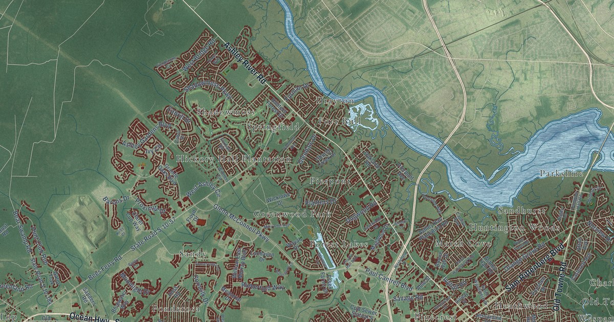
A detailed map of West Ashley, South Carolina, showing every building in its true location, the roads by name, and shaded topographical relief.
Read More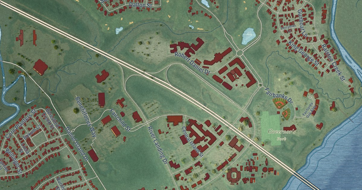
A detailed map of Daniel Island, South Carolina, showing every building in its true location, the roads by name, and shaded topographical relief.
Read More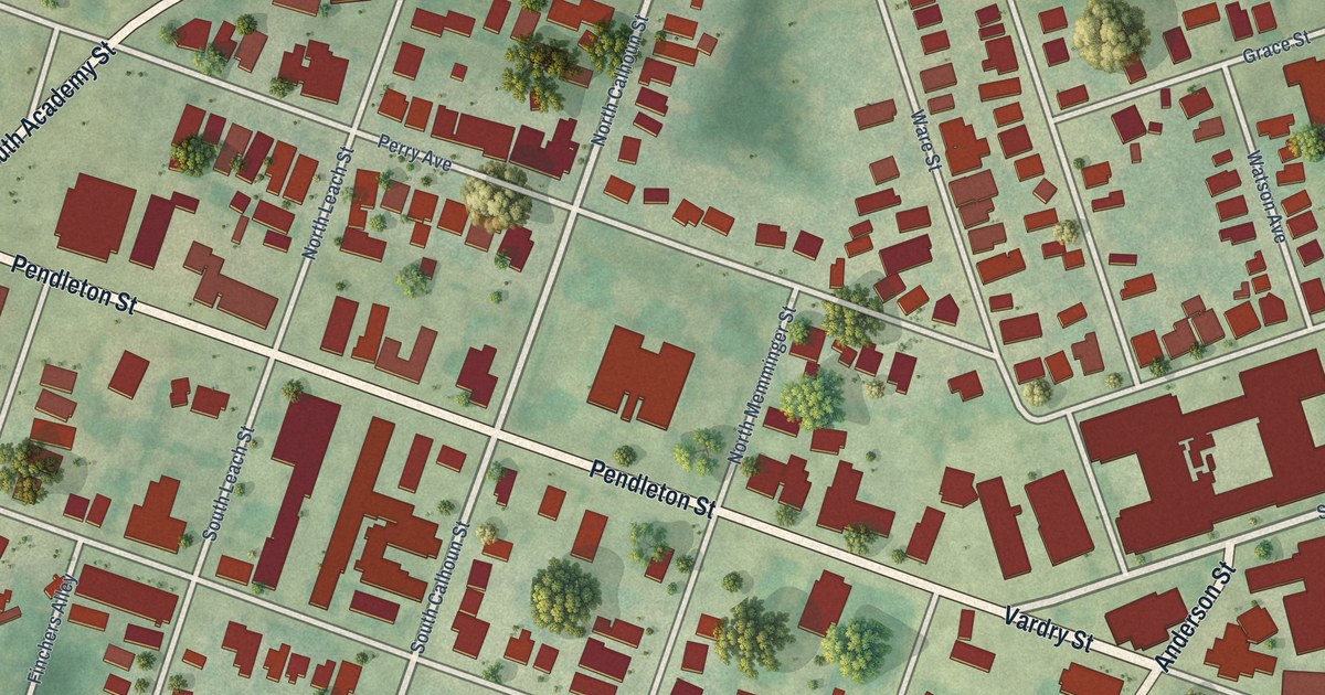
A detailed map of West End, South Carolina, showing every building in its true location, the roads by name, and shaded topographical relief.
Read More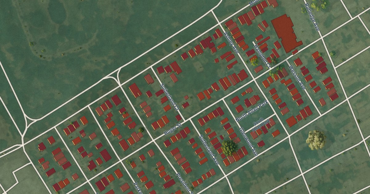
A detailed map of Hampton Park Terrace, South Carolina, showing every building in its true location, the roads by name, and shaded topographical relief.
Read More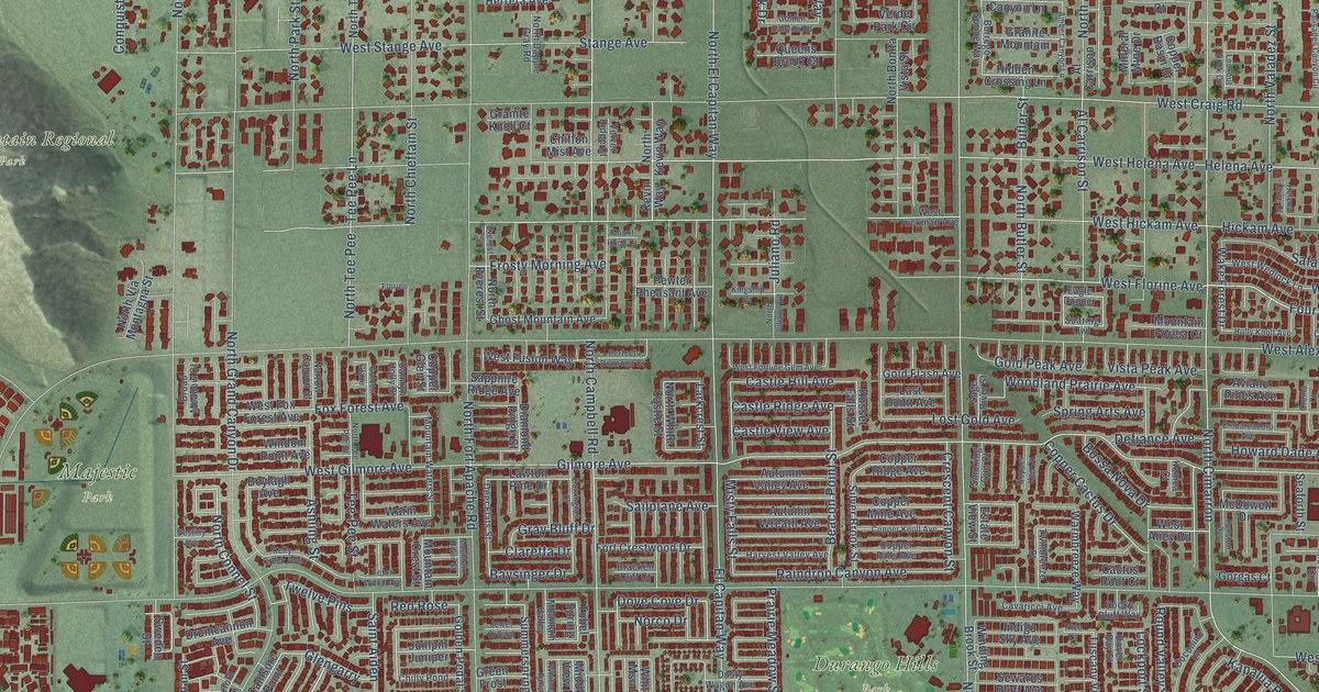
A detailed map of Lone Mountain, Nevada, showing every building in its true location, the roads by name, and shaded topographical relief.
Read More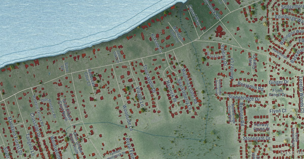
A detailed map of Mandarin, Florida, showing every building in its true location, the roads by name, and shaded topographical relief.
Read More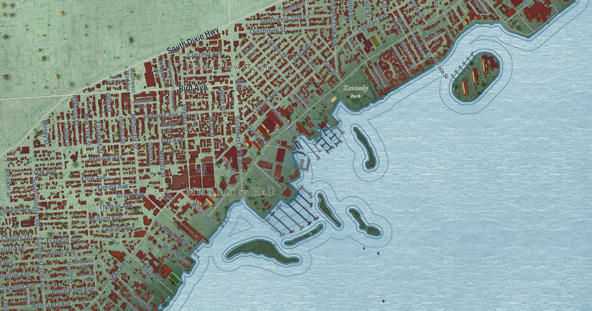
A detailed map of Coconut Grove, Florida, showing every building in its true location, the roads by name, and shaded topographical relief.
Read More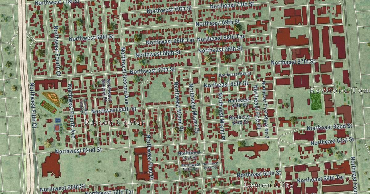
A detailed map of Little Haiti, Florida, showing every building in its true location, the roads by name, and shaded topographical relief.
Read More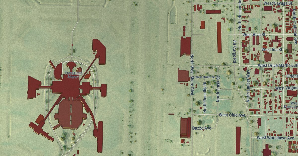
A detailed map of Drew Park, Florida, showing every building in its true location, the roads by name, and shaded topographical relief.
Read More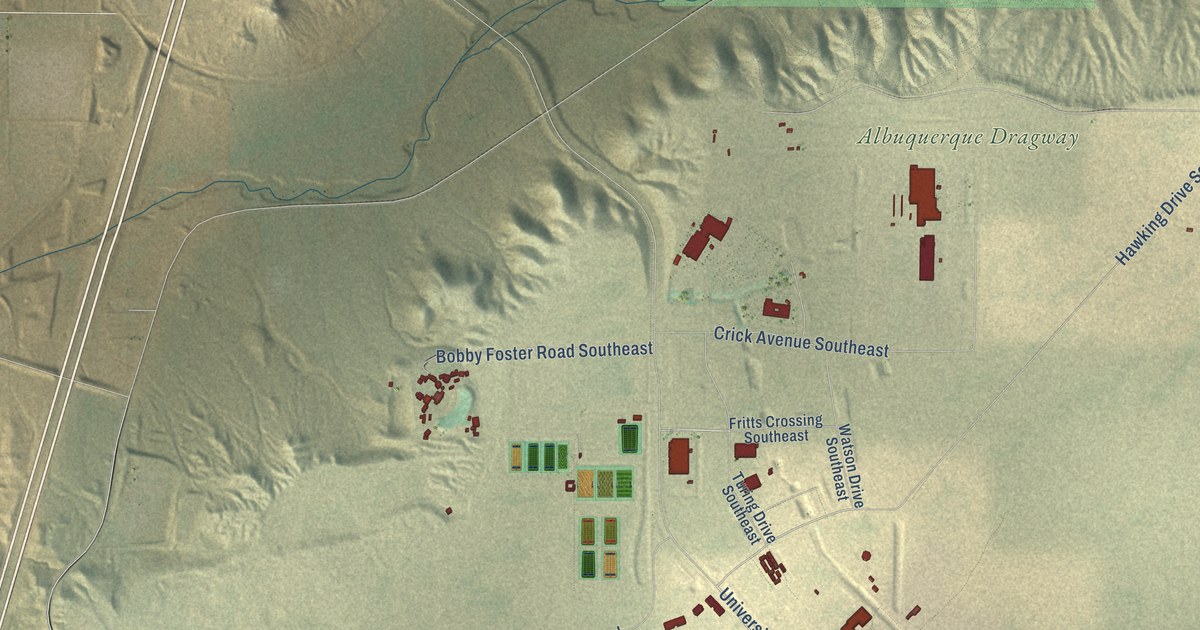
A detailed map of Mesa del Sol, New Mexico, showing every building in its true location, the roads by name, and shaded topographical relief.
Read More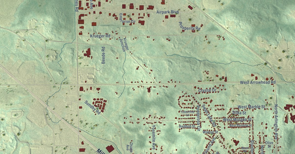
A detailed map of Duluth Heights, Minnesota, showing every building in its true location, the roads by name, and shaded topographical relief.
Read More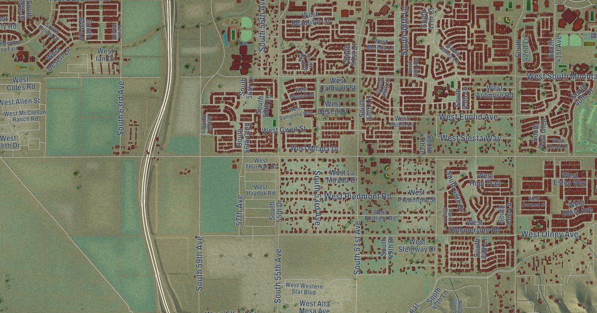
A detailed map of Laveen, Arizona, showing every building in its true location, the roads by name, and shaded topographical relief.
Read More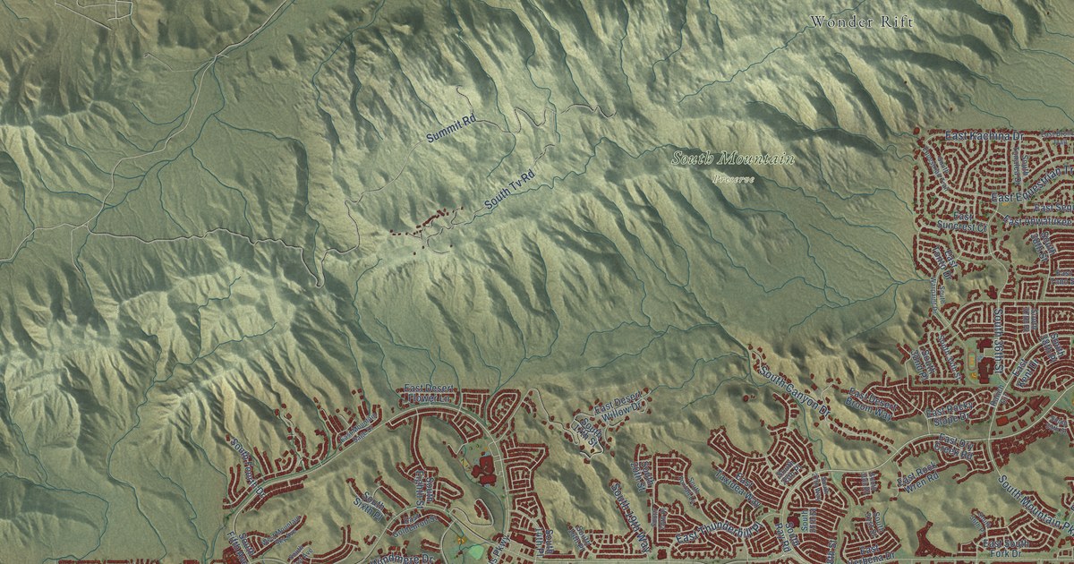
A detailed map of Ahwatukee Foothills, Arizona, showing every building in its true location, the roads by name, and shaded topographical relief.
Read More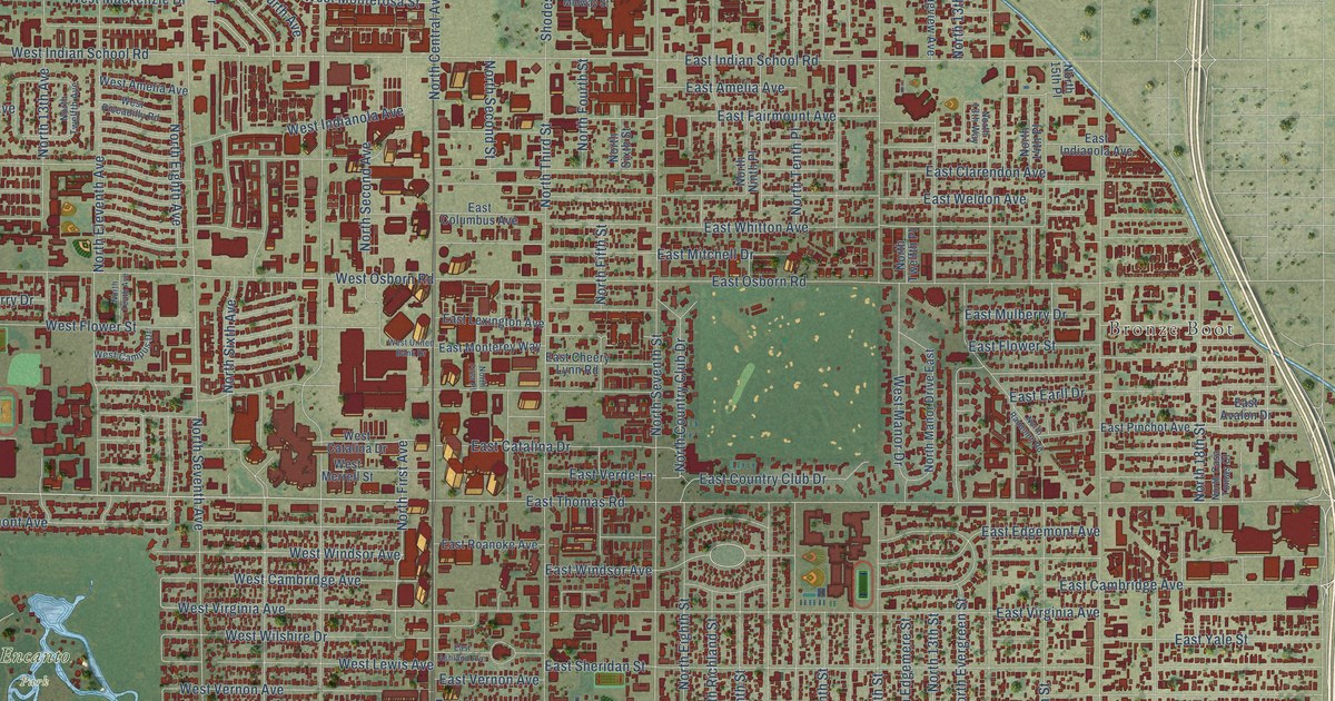
A detailed map of Encanto, Arizona, showing every building in its true location, the roads by name, and shaded topographical relief.
Read More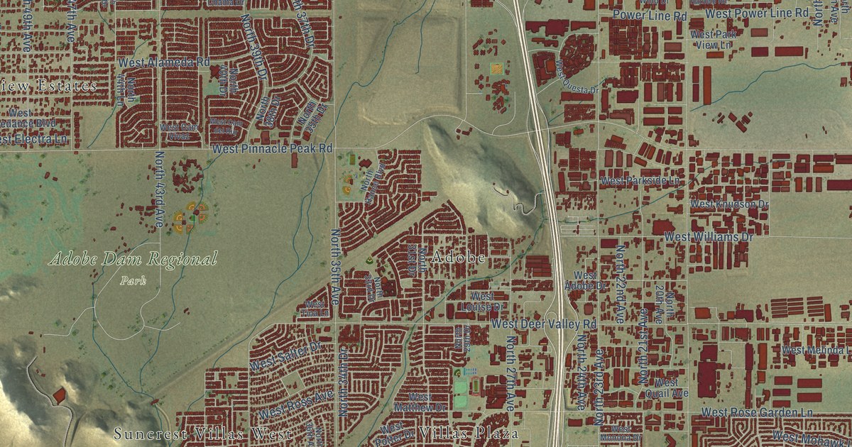
A detailed map of Deer Valley, Arizona, showing every building in its true location, the roads by name, and shaded topographical relief.
Read More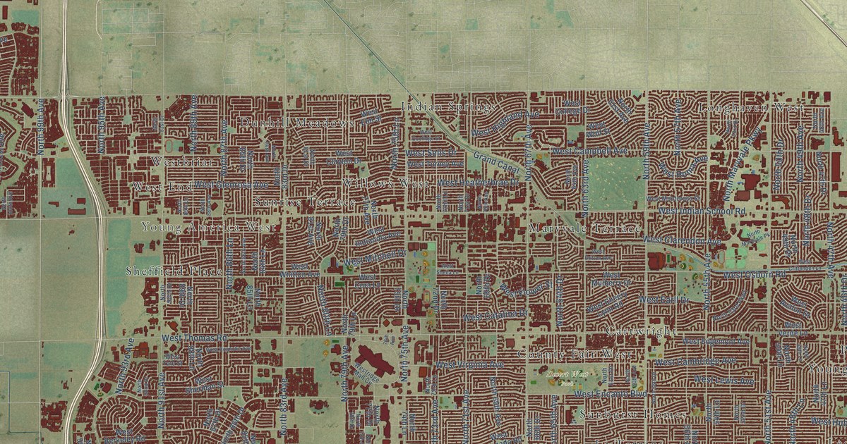
A detailed map of Maryvale, Arizona, showing every building in its true location, the roads by name, and shaded topographical relief.
Read More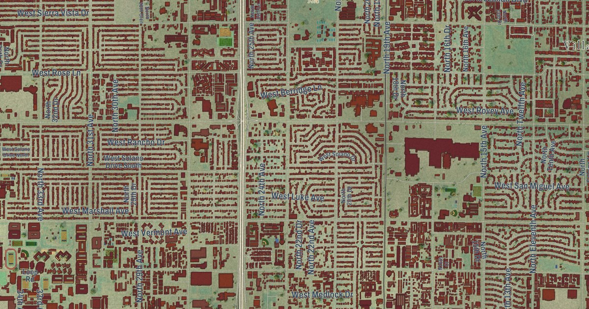
A detailed map of Alhambra, Arizona, showing every building in its true location, the roads by name, and shaded topographical relief.
Read More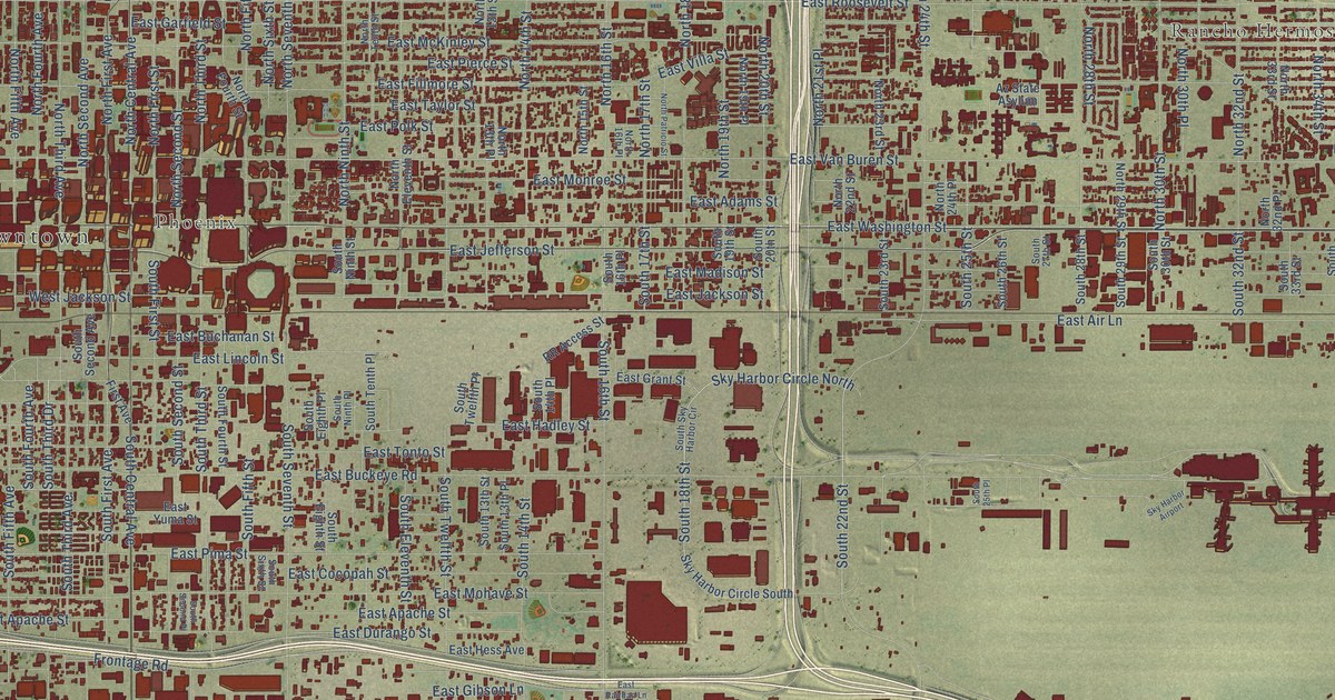
A detailed map of Central City, Arizona, showing every building in its true location, the roads by name, and shaded topographical relief.
Read More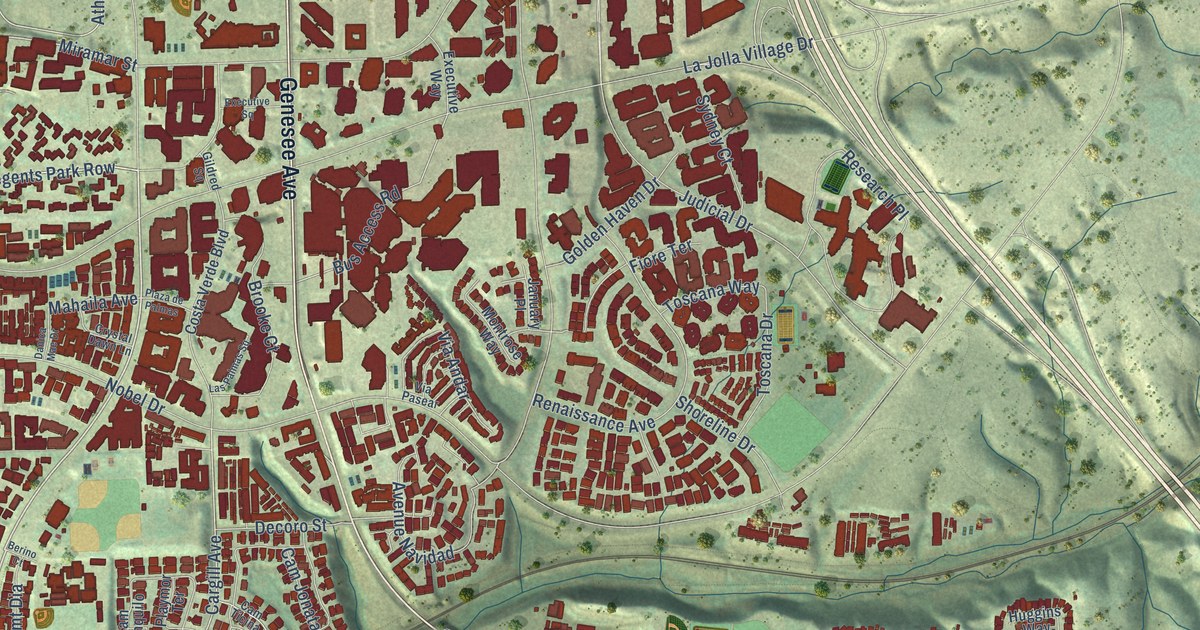
A detailed map of University City, California, showing every building in its true location, the roads by name, and shaded topographical relief.
Read More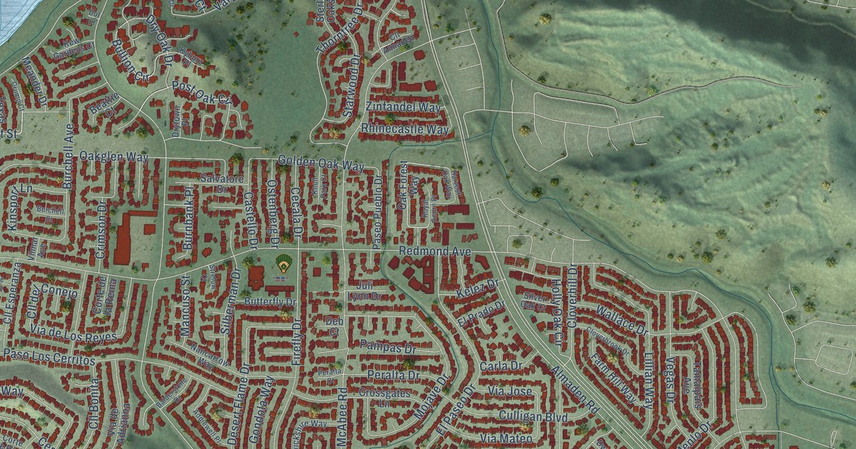
A detailed map of Almaden Valley, California, showing every building in its true location, the roads by name, and shaded topographical relief.
Read More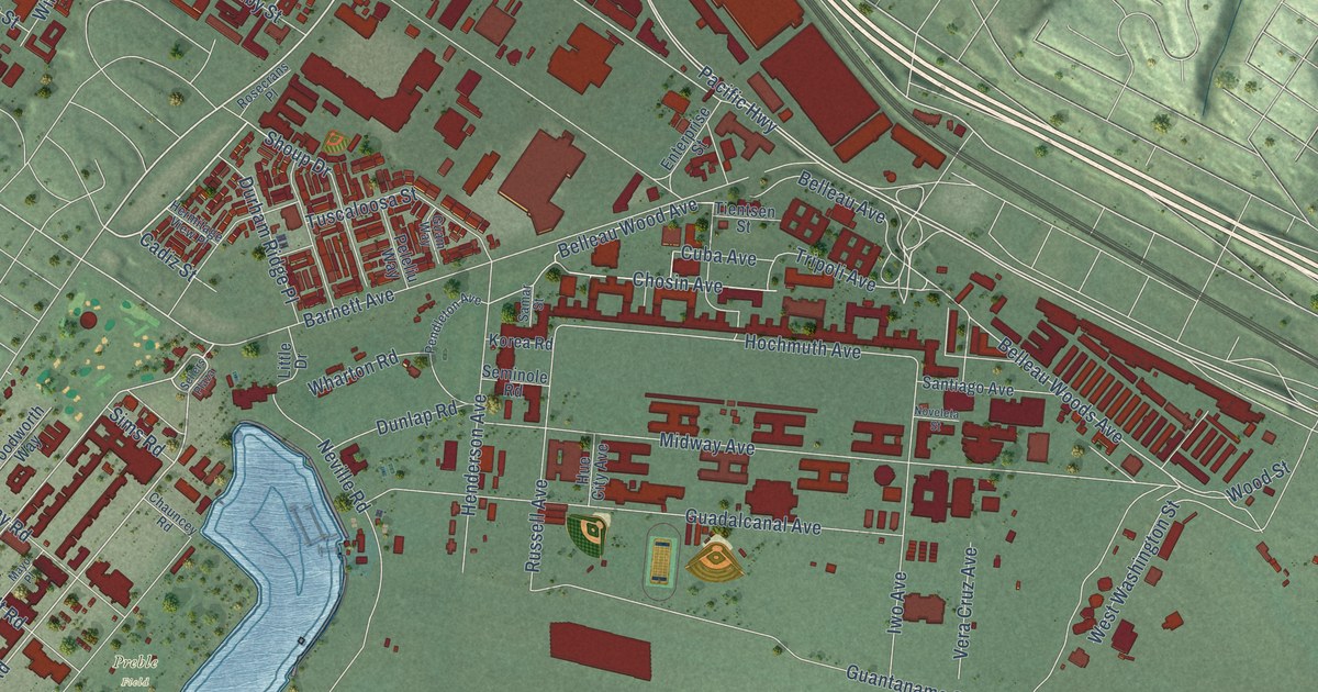
A detailed map of Midway District, California, showing every building in its true location, the roads by name, and shaded topographical relief.
Read More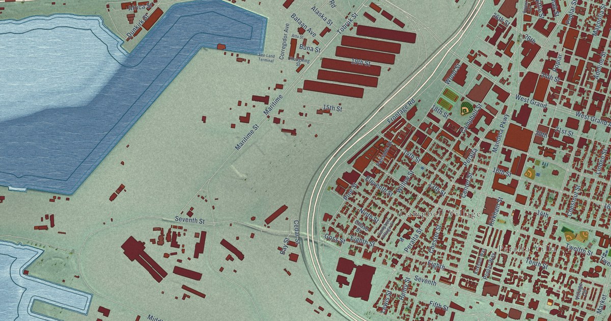
A detailed map of West Oakland, California, showing every building in its true location, the roads by name, and shaded topographical relief.
Read More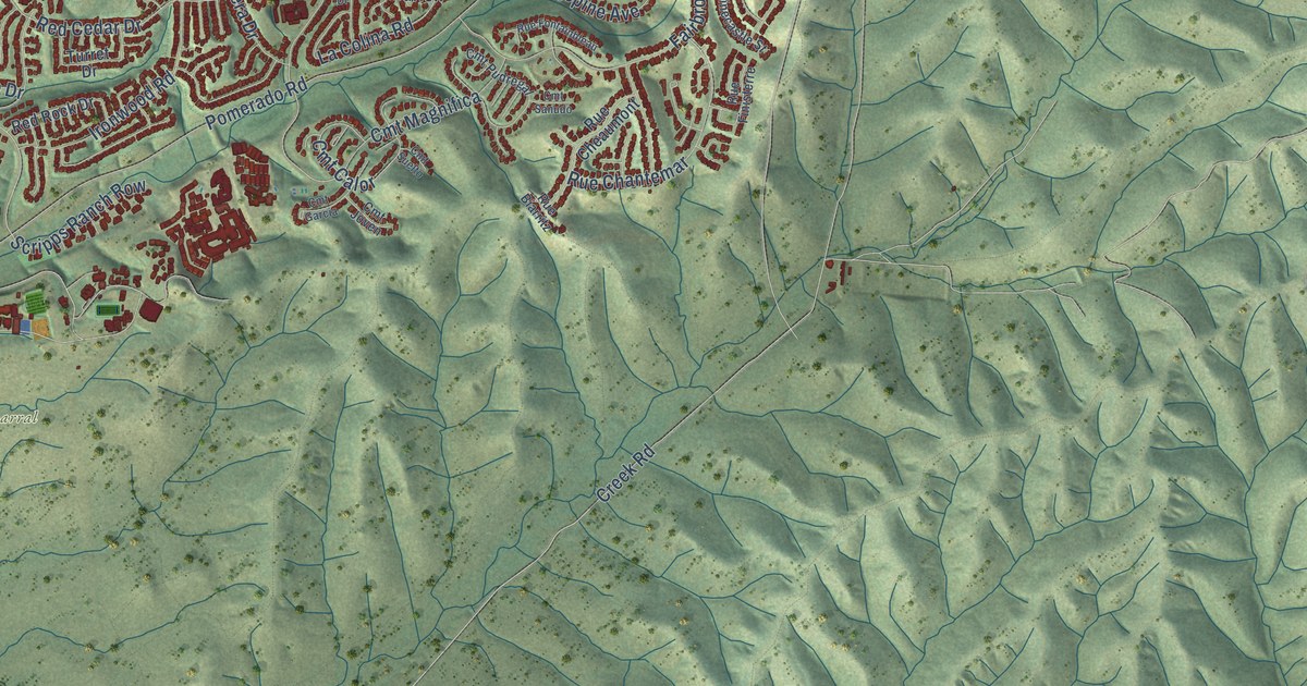
A detailed map of Scripps Ranch, California, showing every building in its true location, the roads by name, and shaded topographical relief.
Read More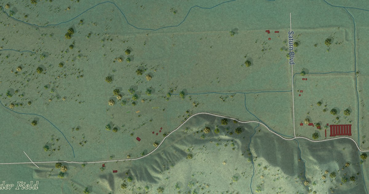
A detailed map of Tijuana River Valley, California, showing every building in its true location, the roads by name, and shaded topographical relief.
Read More















