Detailed Map of Welland, Ontario
A detailed map of Welland, Ontario, showing every building in its true location, the roads by name, and shaded topographical relief.
Read More
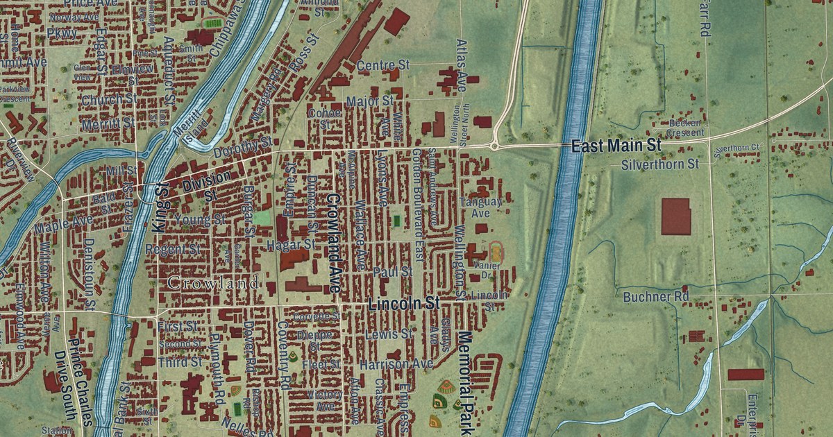
A detailed map of Welland, Ontario, showing every building in its true location, the roads by name, and shaded topographical relief.
Read More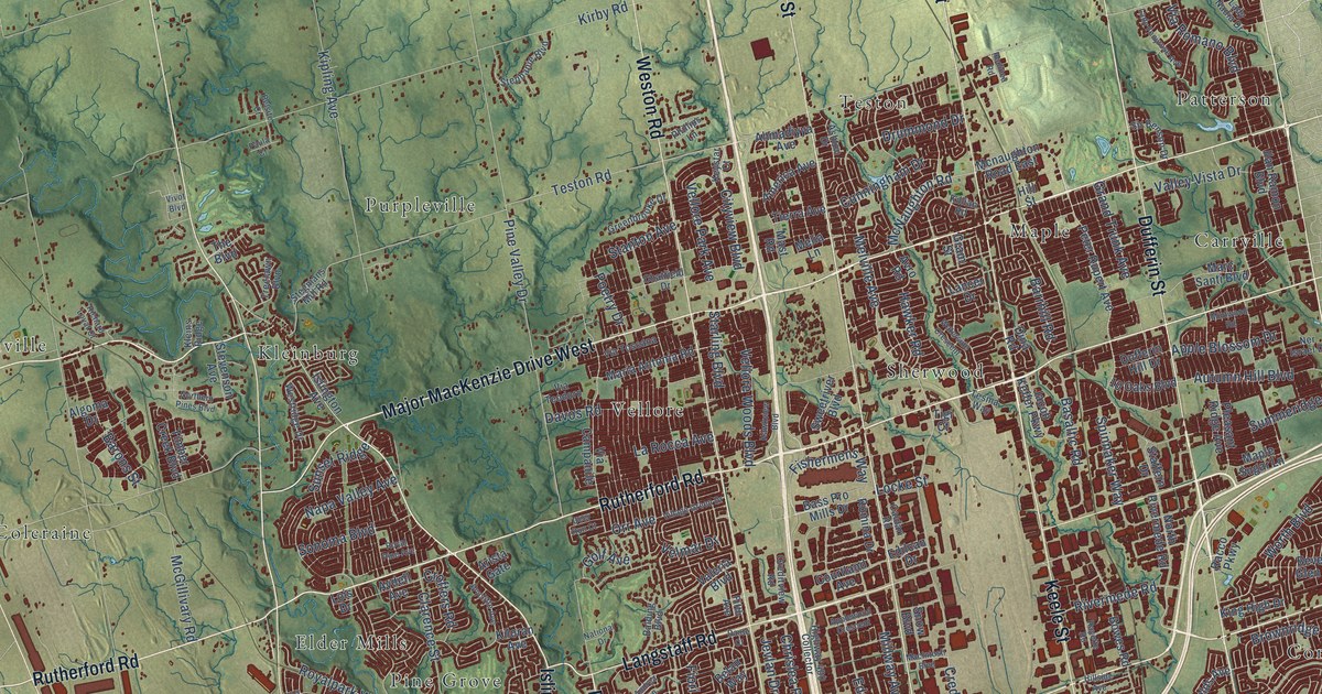
A detailed map of Vaughan, Ontario, showing every building in its true location, the roads by name, and shaded topographical relief.
Read More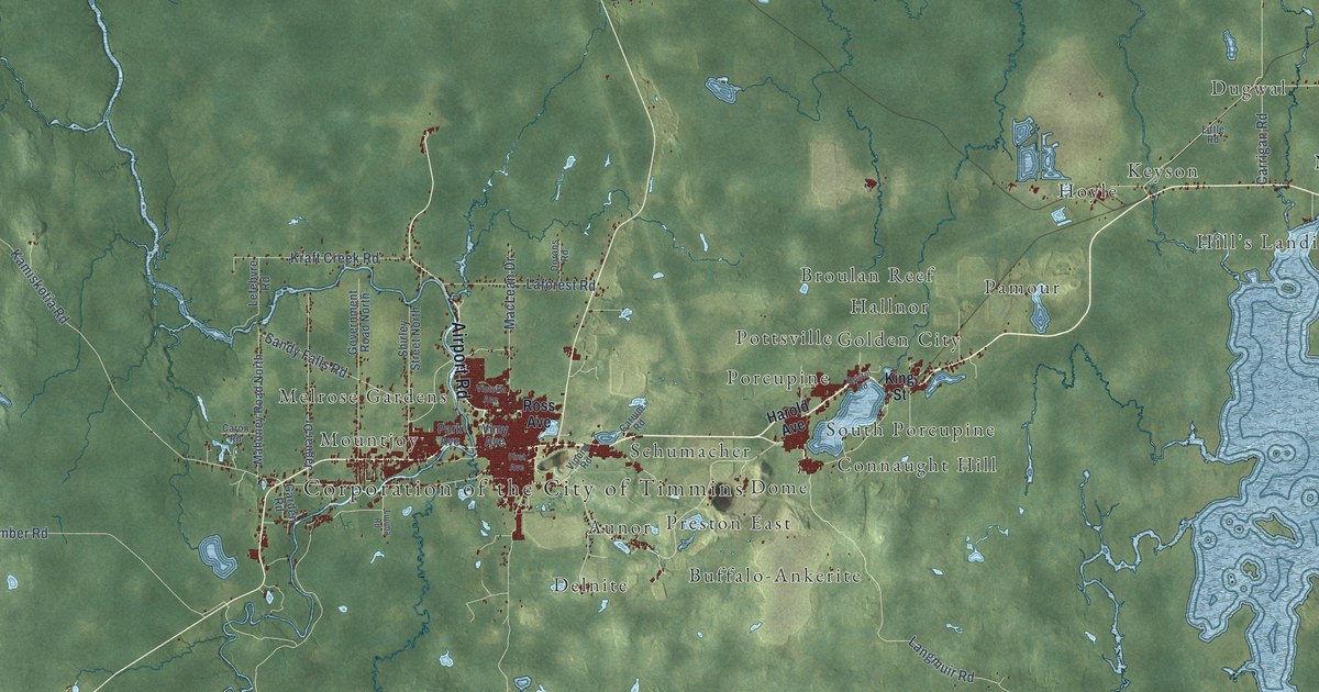
A detailed map of Timmins, Ontario, showing every building in its true location, the roads by name, and shaded topographical relief.
Read More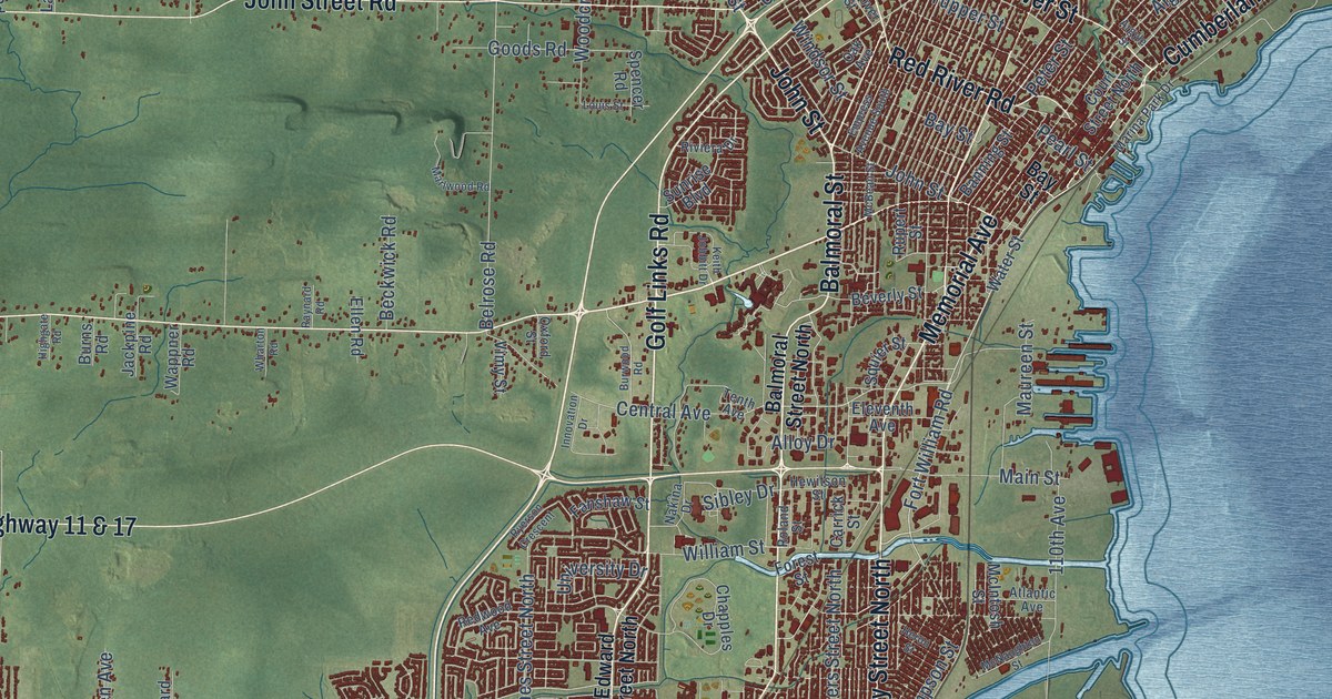
A detailed map of Thunder Bay, Ontario, showing every building in its true location, the roads by name, and shaded topographical relief.
Read More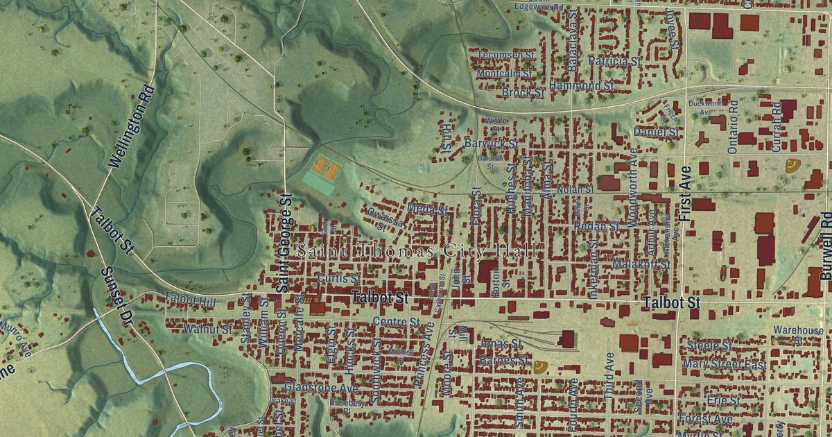
A detailed map of St. Thomas, Ontario, showing every building in its true location, the roads by name, and shaded topographical relief.
Read More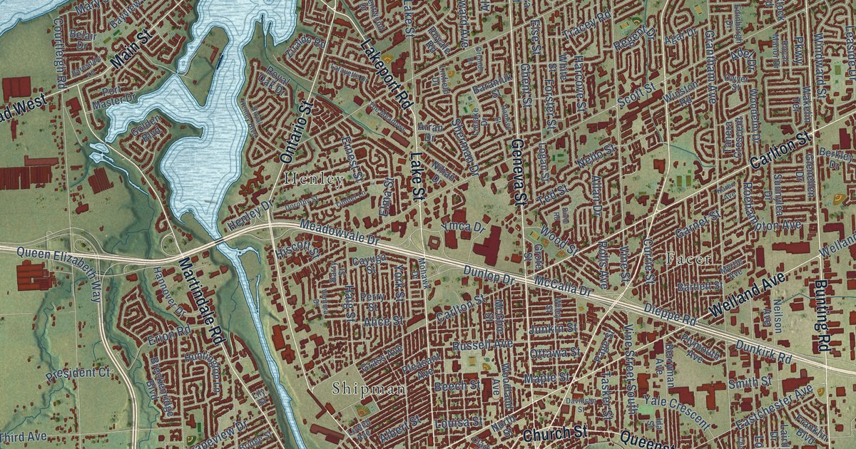
A detailed map of St. Catharines, Ontario, showing every building in its true location, the roads by name, and shaded topographical relief.
Read More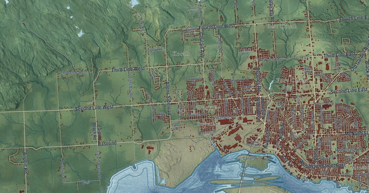
A detailed map of Sault Ste. Marie, Ontario, showing every building in its true location, the roads by name, and shaded topographical relief.
Read More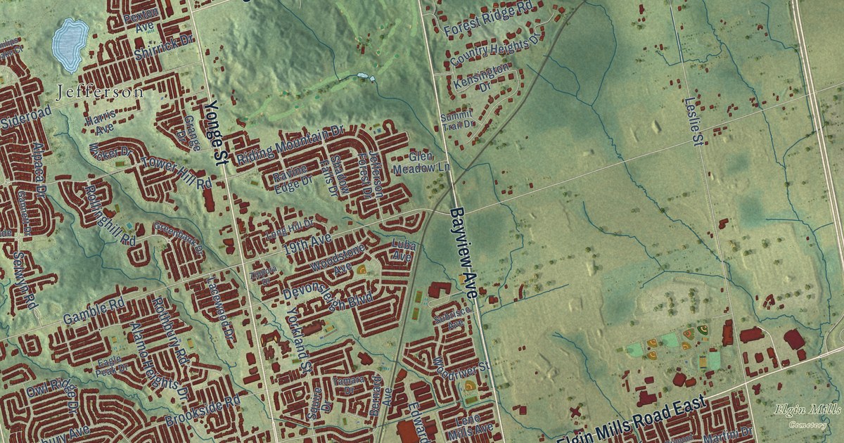
A detailed map of Richmond Hill, Ontario, showing every building in its true location, the roads by name, and shaded topographical relief.
Read More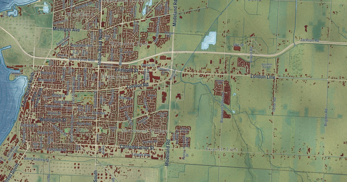
A detailed map of Sarnia, Ontario, showing every building in its true location, the roads by name, and shaded topographical relief.
Read More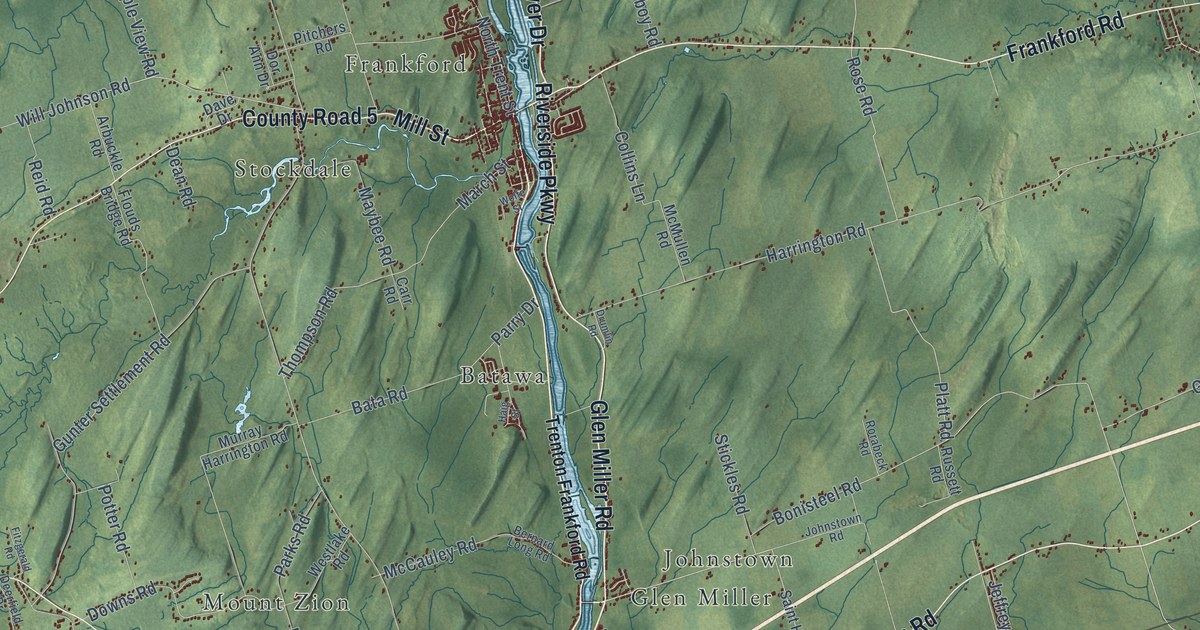
A detailed map of Quinte West, Ontario, showing every building in its true location, the roads by name, and shaded topographical relief.
Read More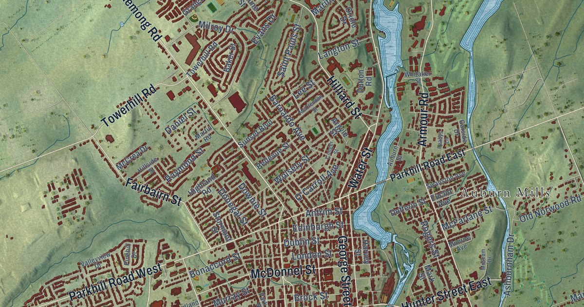
A detailed map of Peterborough, Ontario, showing every building in its true location, the roads by name, and shaded topographical relief.
Read More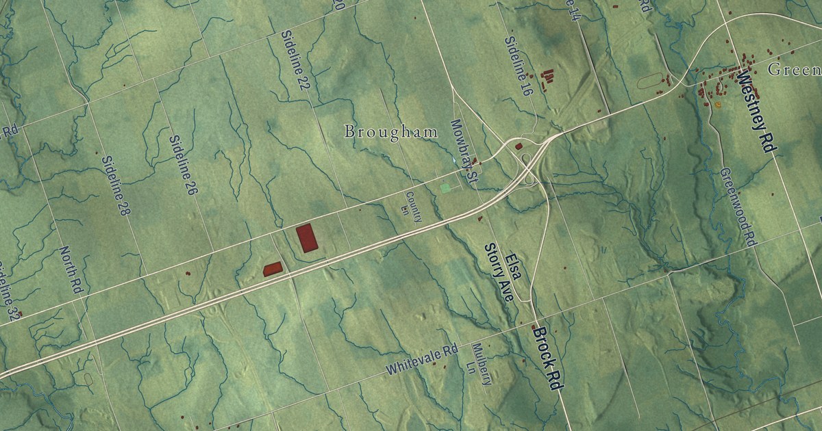
A detailed map of Pickering, Ontario, showing every building in its true location, the roads by name, and shaded topographical relief.
Read More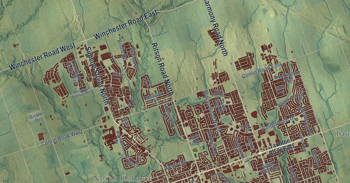
A detailed map of Oshawa, Ontario, showing every building in its true location, the roads by name, and shaded topographical relief.
Read More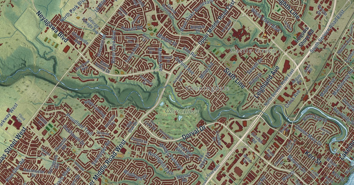
A detailed map of Oakville, Ontario, showing every building in its true location, the roads by name, and shaded topographical relief.
Read More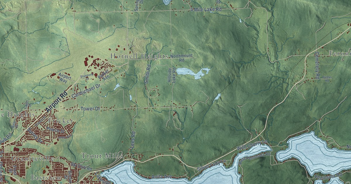
A detailed map of North Bay, Ontario, showing every building in its true location, the roads by name, and shaded topographical relief.
Read More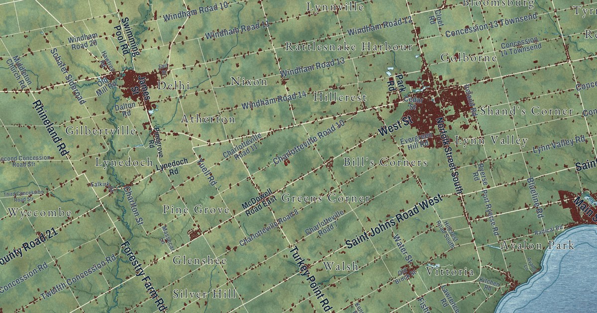
A detailed map of Norfolk County, Ontario, showing every building in its true location, the roads by name, and shaded topographical relief.
Read More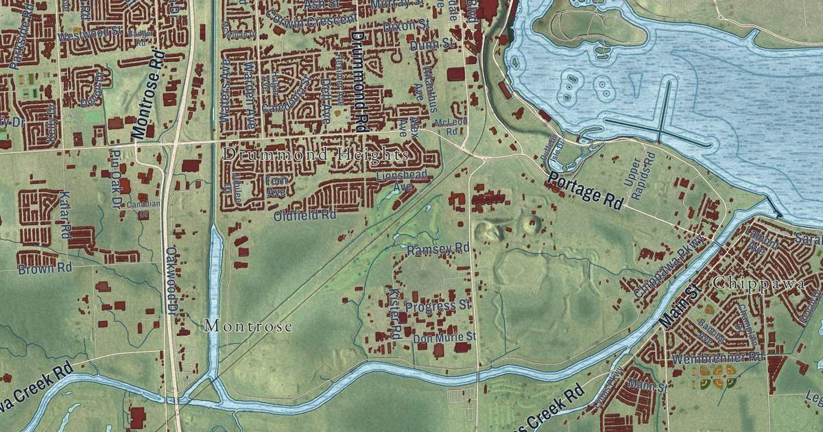
A detailed map of Niagara Falls, Ontario, showing every building in its true location, the roads by name, and shaded topographical relief.
Read More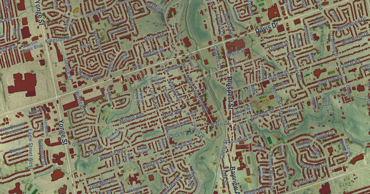
A detailed map of Newmarket, Ontario, showing every building in its true location, the roads by name, and shaded topographical relief.
Read More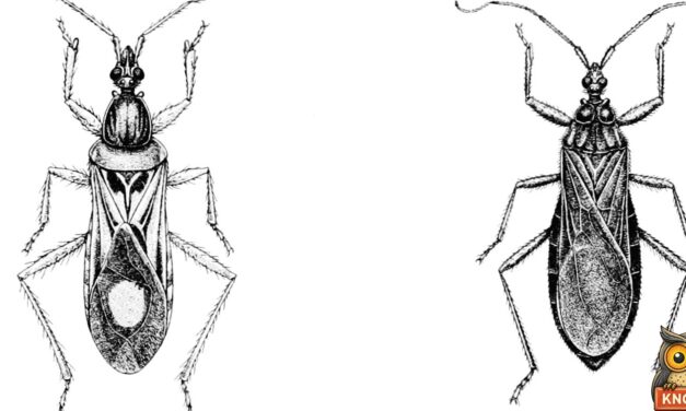
In July 1899 Wheeling, West Virginia, hunted the kissing bug said to bite lips. The bottled suspects included a cockroach, a June bug and an 8-legged bug.
Read More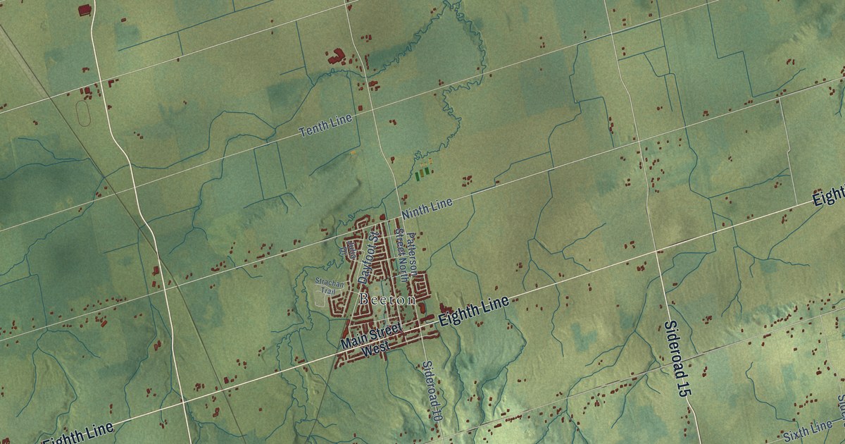
A detailed map of New Tecumseth, Ontario, showing every building in its true location, the roads by name, and shaded topographical relief.
Read More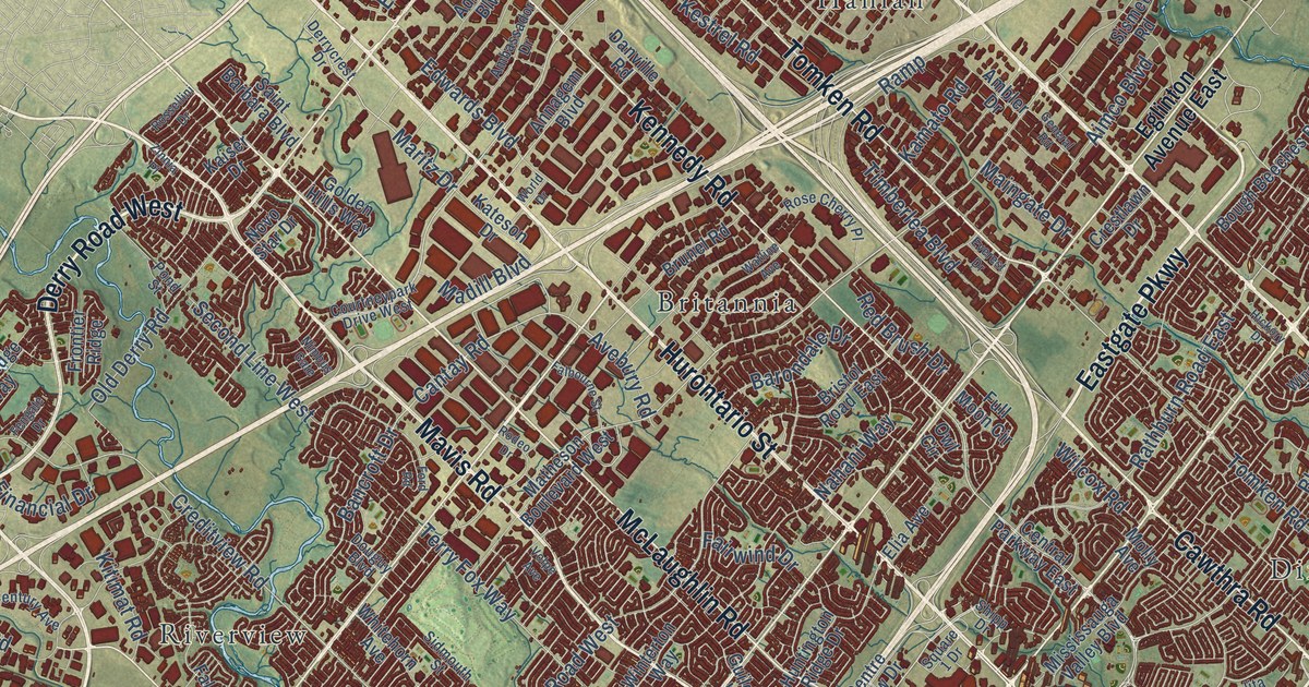
A detailed map of Mississauga, Ontario, showing every building in its true location, the roads by name, and shaded topographical relief.
Read More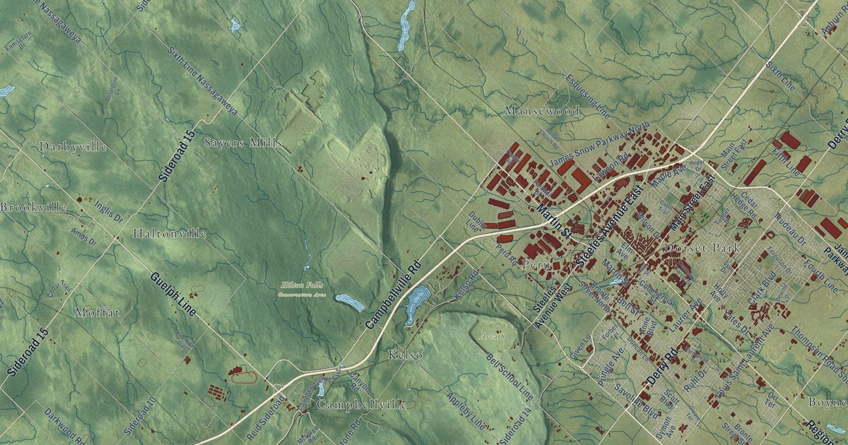
A detailed map of Milton, Ontario, showing every building in its true location, the roads by name, and shaded topographical relief.
Read More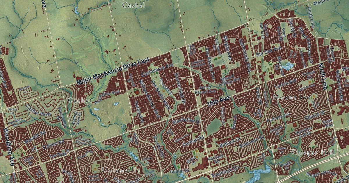
A detailed map of Markham, Ontario, showing every building in its true location, the roads by name, and shaded topographical relief.
Read More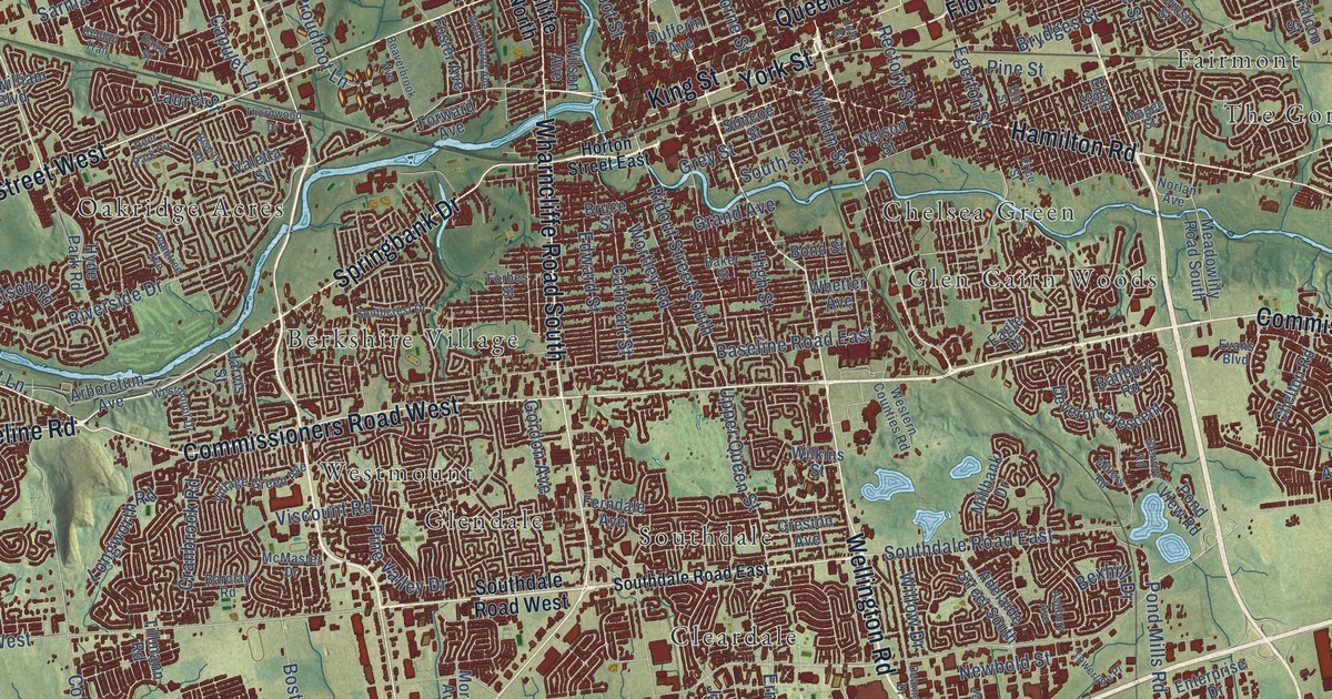
A detailed map of London, Ontario, showing every building in its true location, the roads by name, and shaded topographical relief.
Read More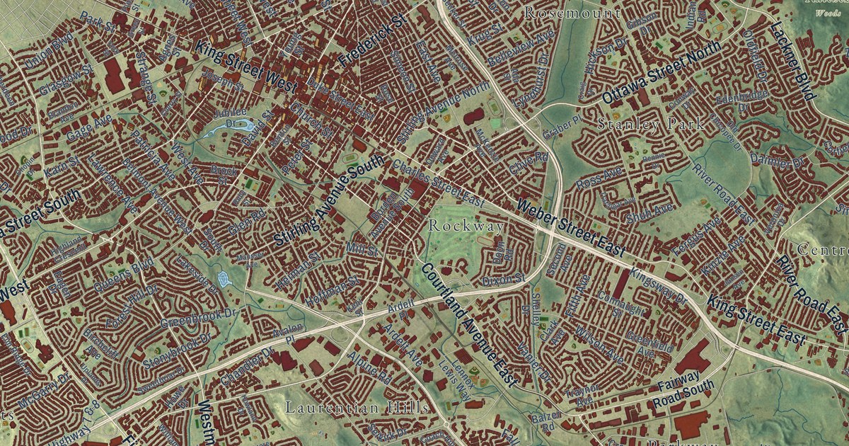
A detailed map of Kitchener, Ontario, showing every building in its true location, the roads by name, and shaded topographical relief.
Read More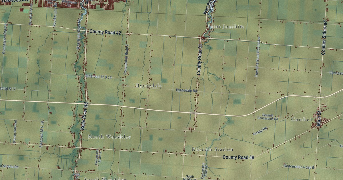
A detailed map of Lakeshore, Ontario, showing every building in its true location, the roads by name, and shaded topographical relief.
Read More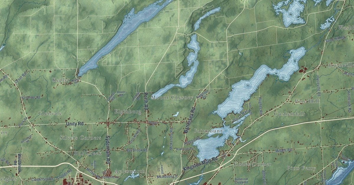
A detailed map of Kingston, Ontario, showing every building in its true location, the roads by name, and shaded topographical relief.
Read More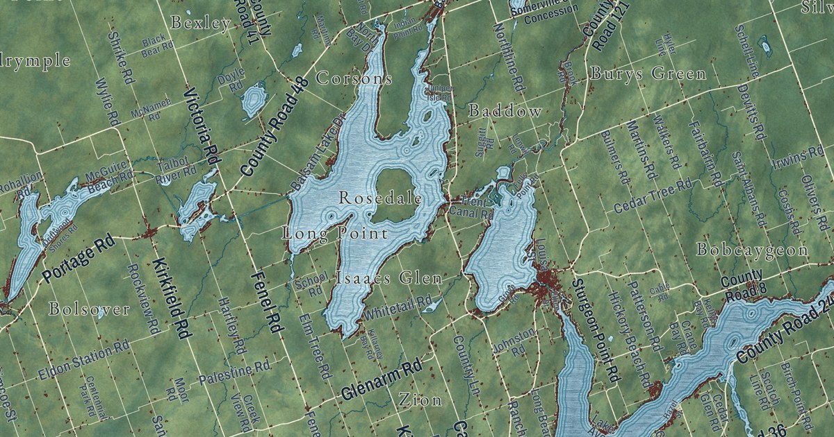
A detailed map of Kawartha Lakes, Ontario, showing every building in its true location, the roads by name, and shaded topographical relief.
Read More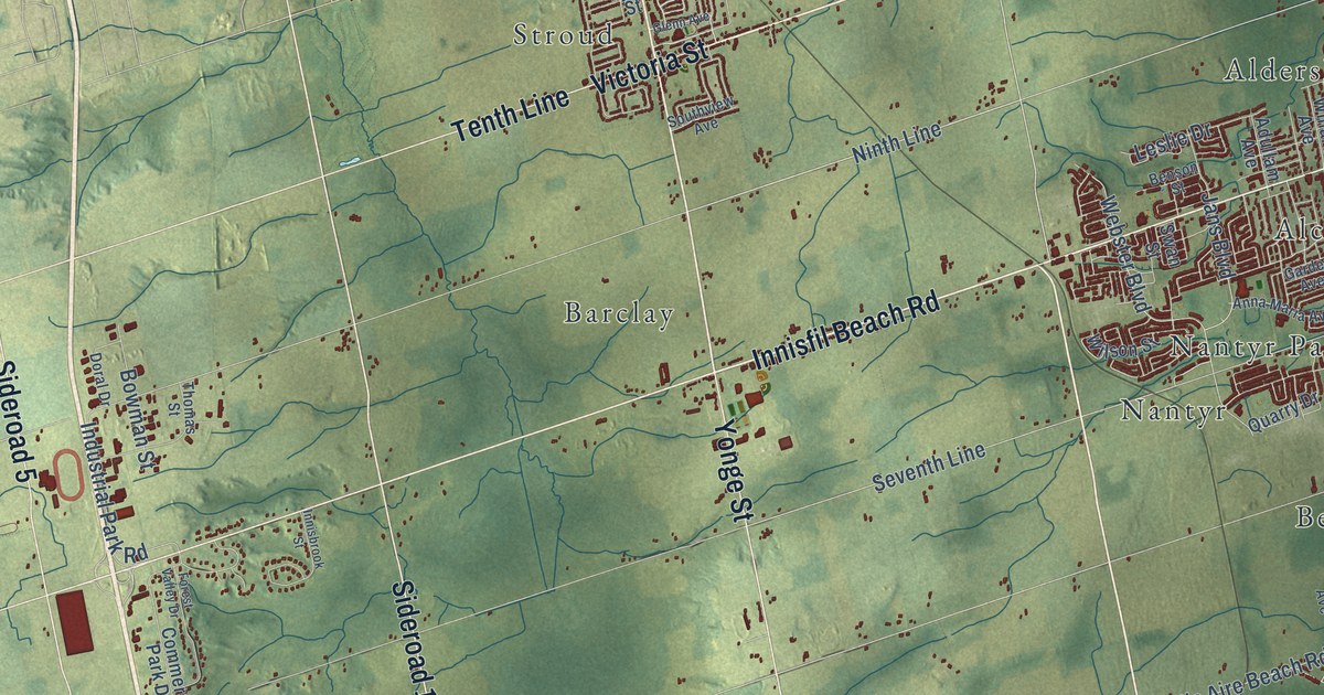
A detailed map of Innisfil, Ontario, showing every building in its true location, the roads by name, and shaded topographical relief.
Read More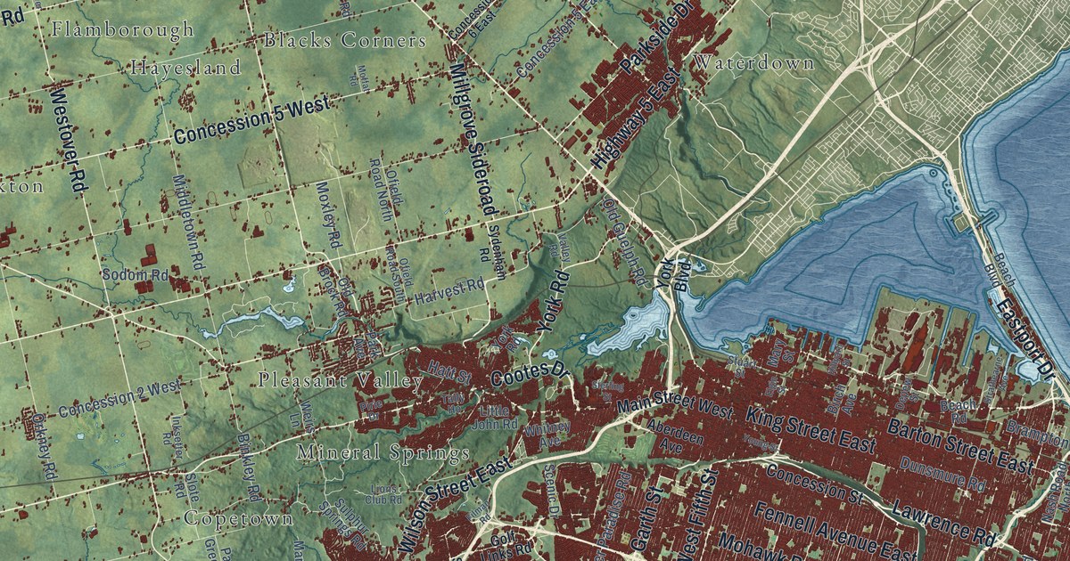
A detailed map of Hamilton, Ontario, showing every building in its true location, the roads by name, and shaded topographical relief.
Read More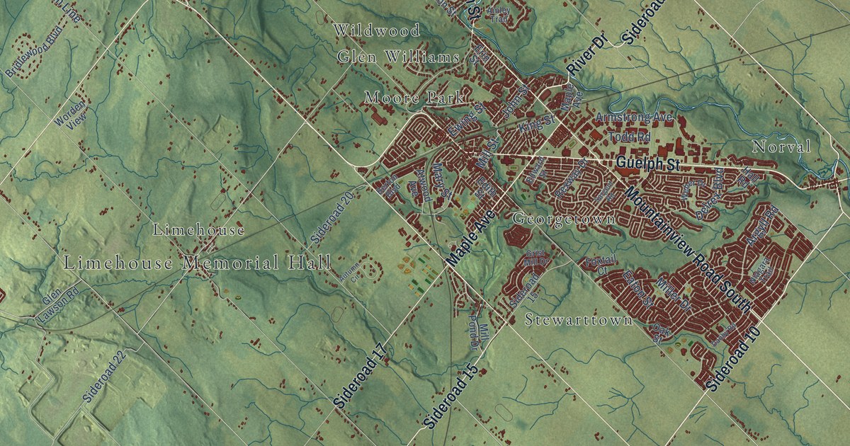
A detailed map of Halton Hills, Ontario, showing every building in its true location, the roads by name, and shaded topographical relief.
Read More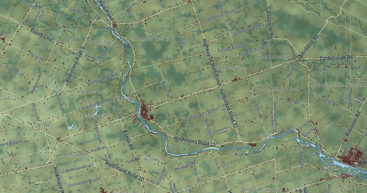
A detailed map of Haldimand County, Ontario, showing every building in its true location, the roads by name, and shaded topographical relief.
Read More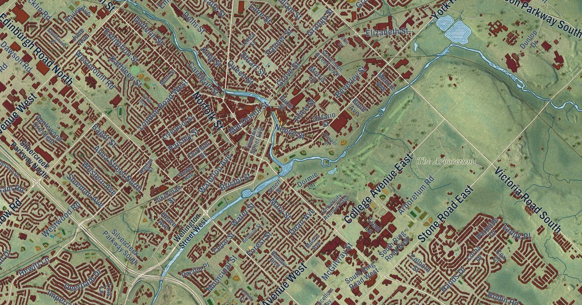
A detailed map of Guelph, Ontario, showing every building in its true location, the roads by name, and shaded topographical relief.
Read More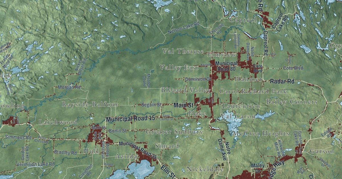
A detailed map of Sudbury, Ontario, showing every building in its true location, the roads by name, and shaded topographical relief.
Read More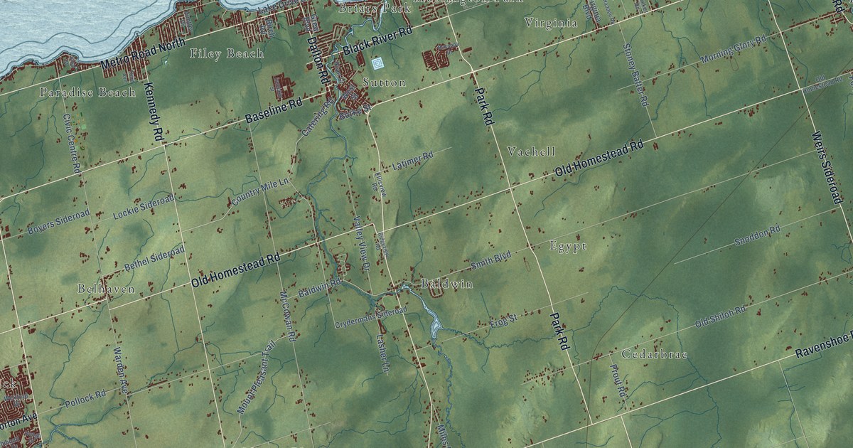
A detailed map of Georgina, Ontario, showing every building in its true location, the roads by name, and shaded topographical relief.
Read More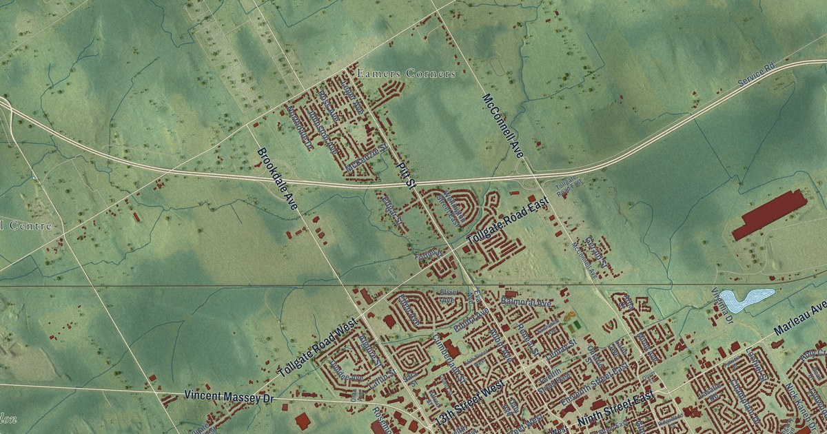
A detailed map of Cornwall, Ontario, showing every building in its true location, the roads by name, and shaded topographical relief.
Read More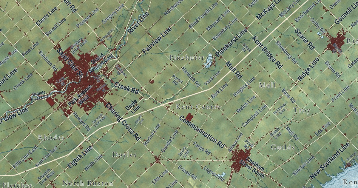
A detailed map of Chatham-Kent, Ontario, showing every building in its true location, the roads by name, and shaded topographical relief.
Read More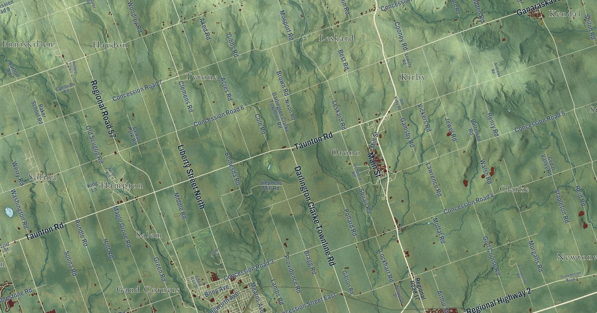
A detailed map of Clarington, Ontario, showing every building in its true location, the roads by name, and shaded topographical relief.
Read More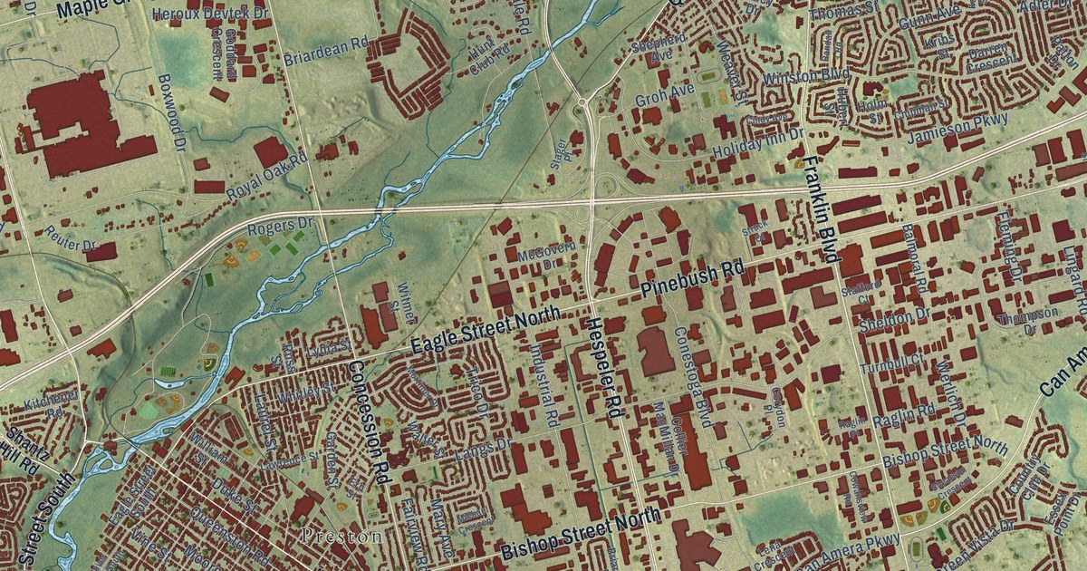
A detailed map of Cambridge, Ontario, showing every building in its true location, the roads by name, and shaded topographical relief.
Read More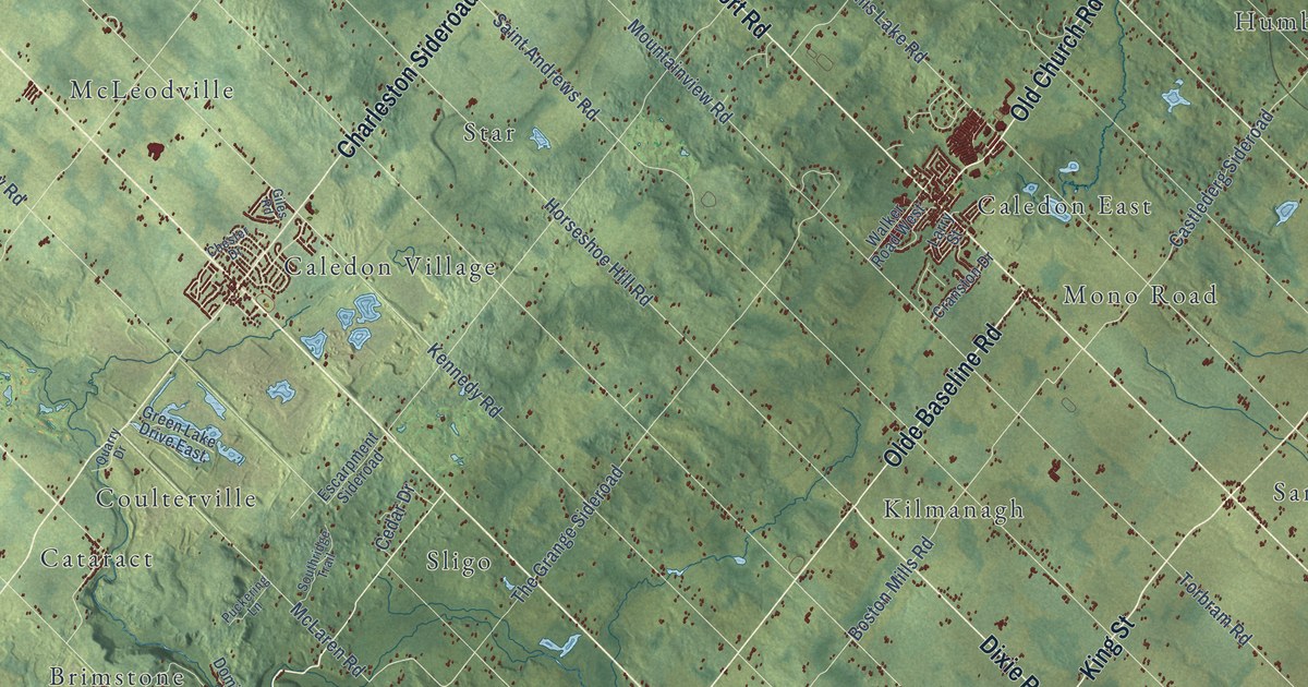
A detailed map of Caledon, Ontario, showing every building in its true location, the roads by name, and shaded topographical relief.
Read More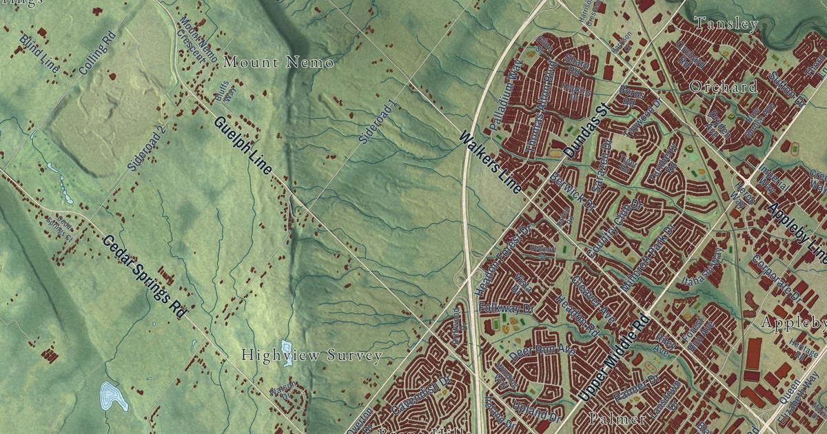
A detailed map of Burlington, Ontario, showing every building in its true location, the roads by name, and shaded topographical relief.
Read More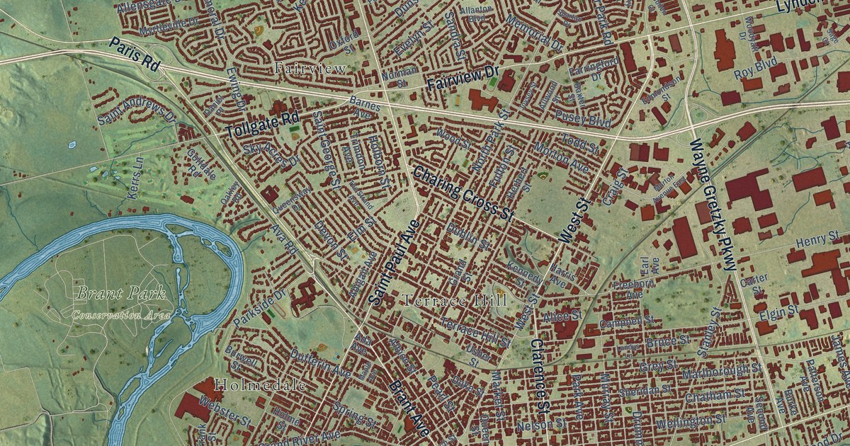
A detailed map of Brantford, Ontario, showing every building in its true location, the roads by name, and shaded topographical relief.
Read More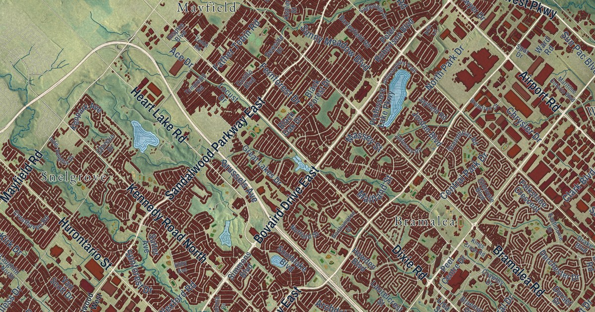
A detailed map of Brampton, Ontario, showing every building in its true location, the roads by name, and shaded topographical relief.
Read More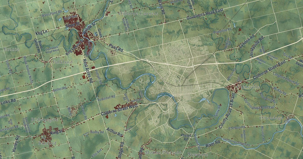
A detailed map of Brant, Ontario, showing every building in its true location, the roads by name, and shaded topographical relief.
Read More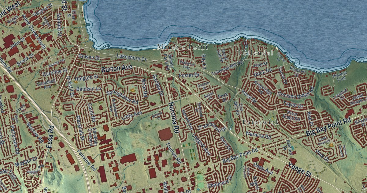
A detailed map of Barrie, Ontario, showing every building in its true location, the roads by name, and shaded topographical relief.
Read More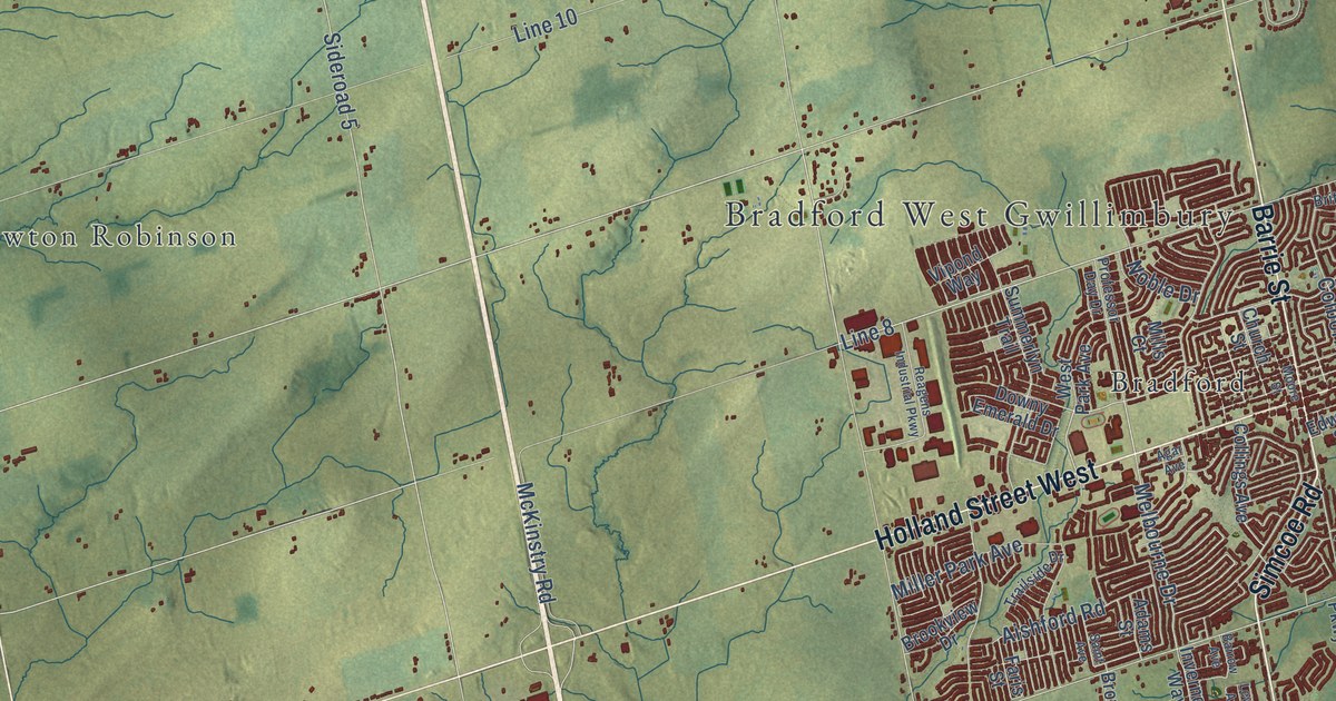
A detailed map of Bradford West Gwillimbury, Ontario, showing every building in its true location, the roads by name, and shaded topographical relief.
Read More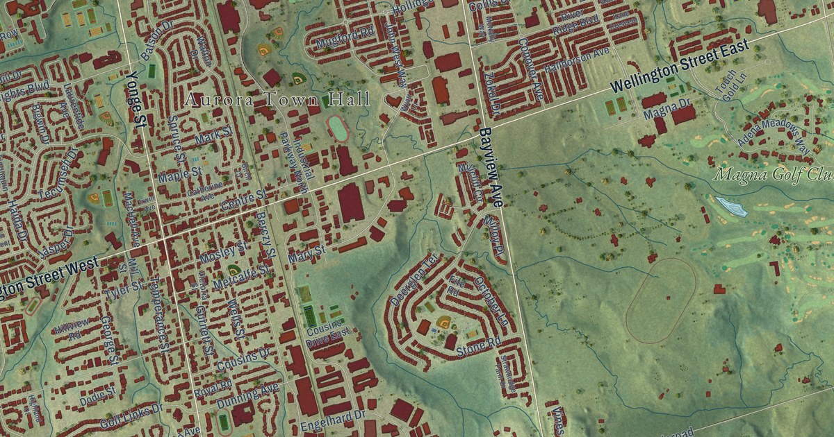
A detailed map of Aurora, Ontario, showing every building in its true location, the roads by name, and shaded topographical relief.
Read More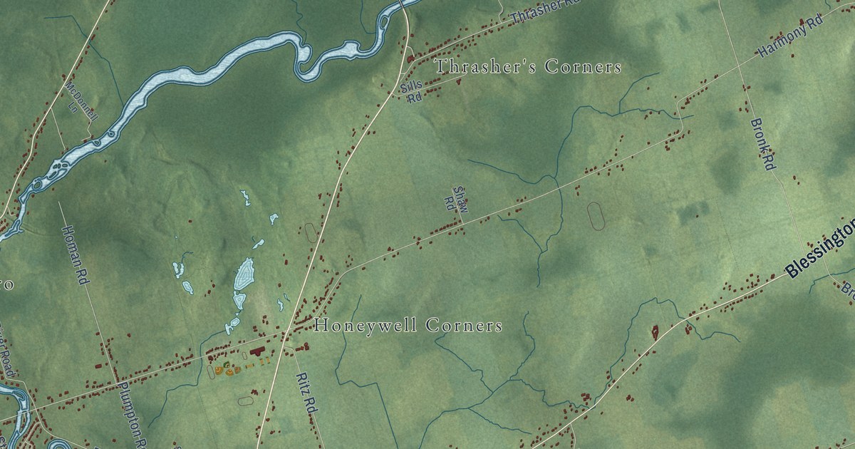
A detailed map of Belleville, Ontario, showing every building in its true location, the roads by name, and shaded topographical relief.
Read More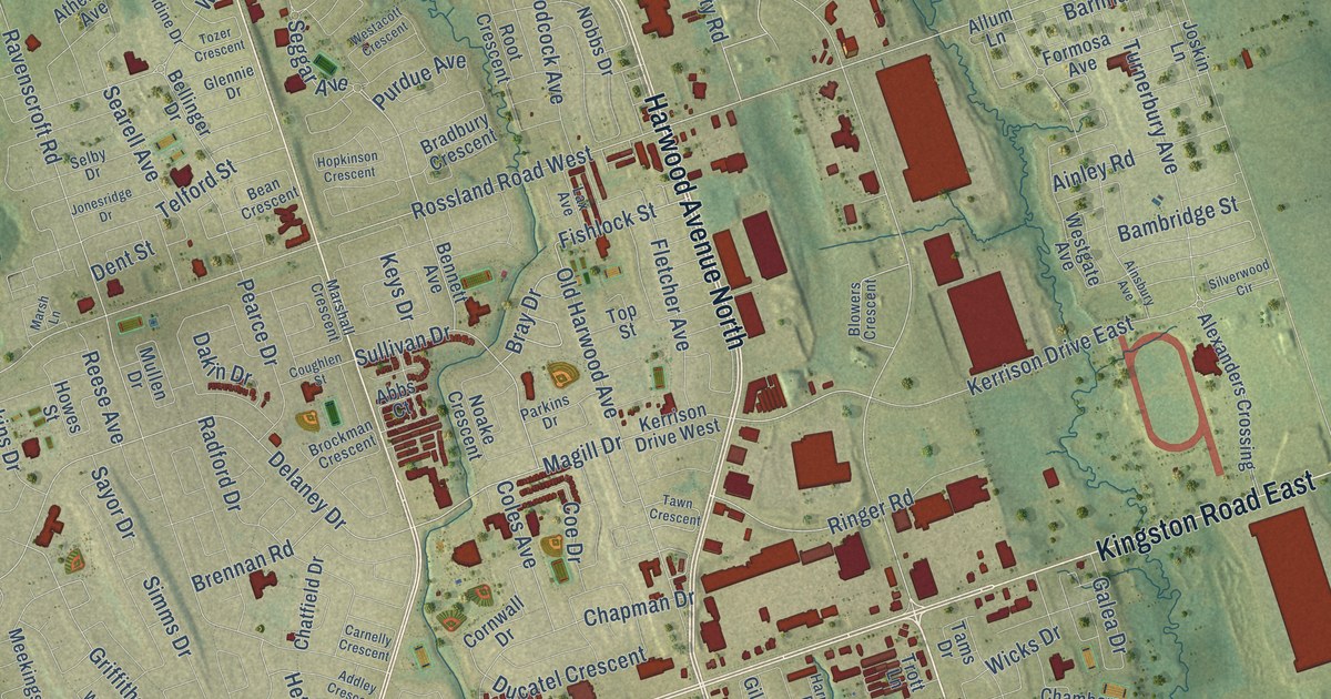
A detailed map of Ajax, Ontario, showing every building in its true location, the roads by name, and shaded topographical relief.
Read More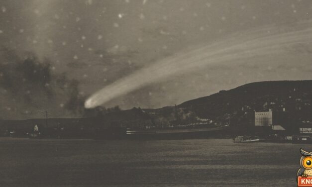
On May 18, 1910, Plymouth, Indiana, stayed up for Halley’s comet and its poison gas tail. The paper printed a girl’s comet photo: an empty box.
Read More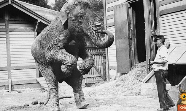
In 1912 Nero, a six-ton show elephant, got loose in Chicago’s Englewood. He chased two police officers up a tree and the patrol wagon for six blocks.
Read More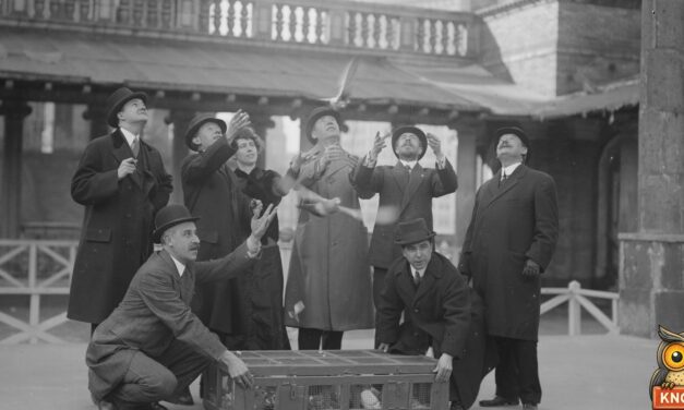
In 1895 homing pigeons carried messages from Avalon on Catalina Island to Los Angeles. The record flight took 54 minutes. The boat and train took 3 hours.
Read More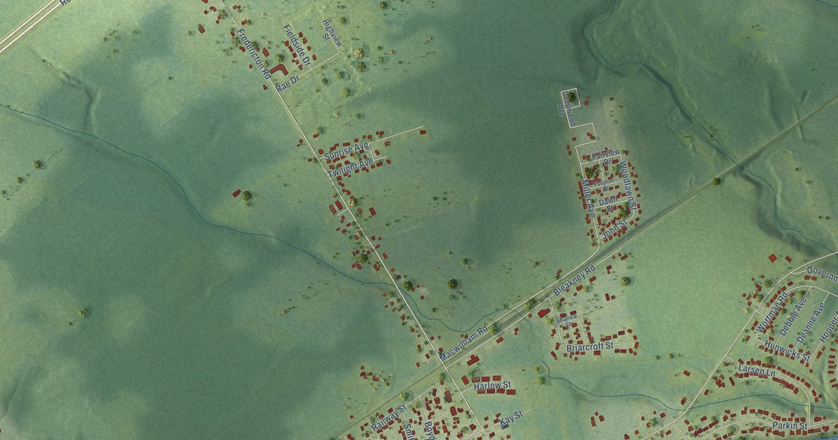
A detailed map of Salisbury, New Brunswick, showing every building in its true location, the roads by name, and shaded topographical relief.
Read More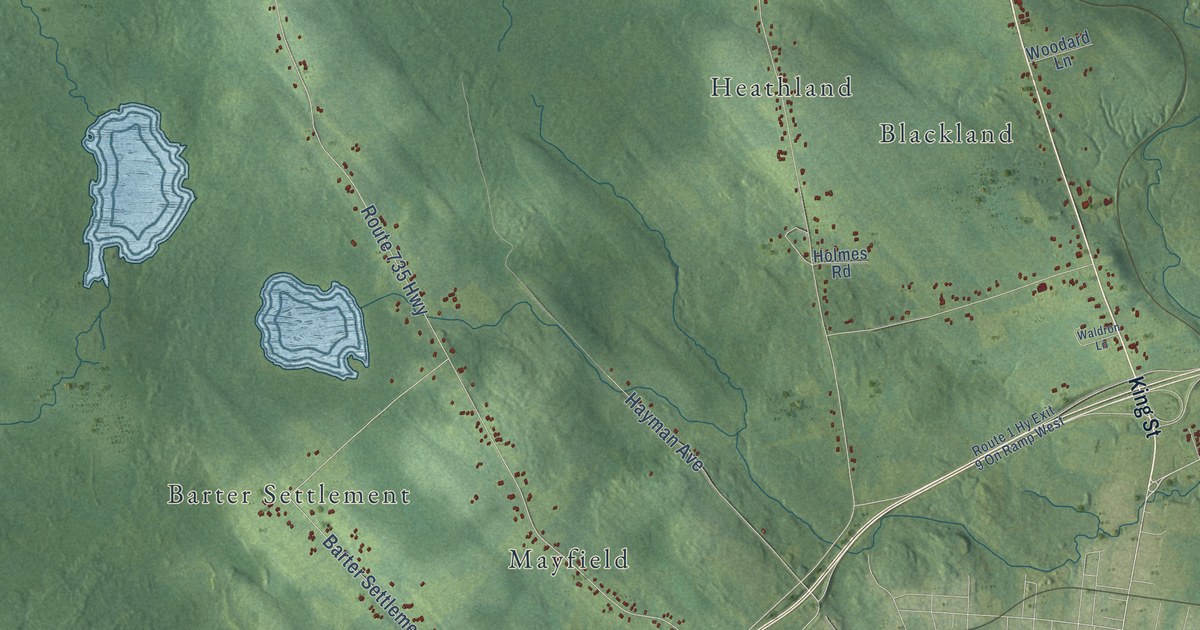
A detailed map of Saint Stephen Parish, New Brunswick, showing every building in its true location, the roads by name, and shaded topographical relief.
Read More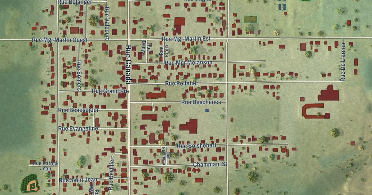
A detailed map of Saint-Quentin, New Brunswick, showing every building in its true location, the roads by name, and shaded topographical relief.
Read More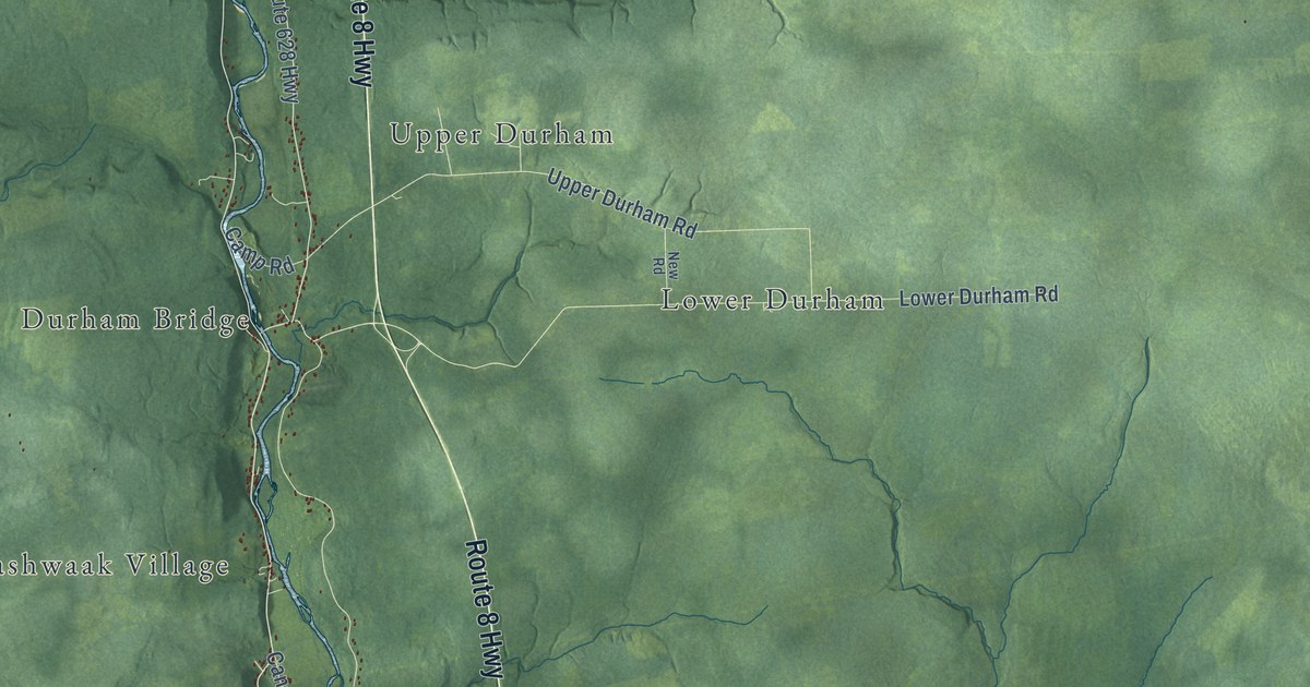
A detailed map of Saint Marys Parish, New Brunswick, showing every building in its true location, the roads by name, and shaded topographical relief.
Read More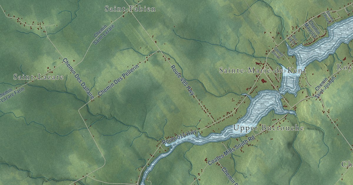
A detailed map of Saint Mary Parish, New Brunswick, showing every building in its true location, the roads by name, and shaded topographical relief.
Read More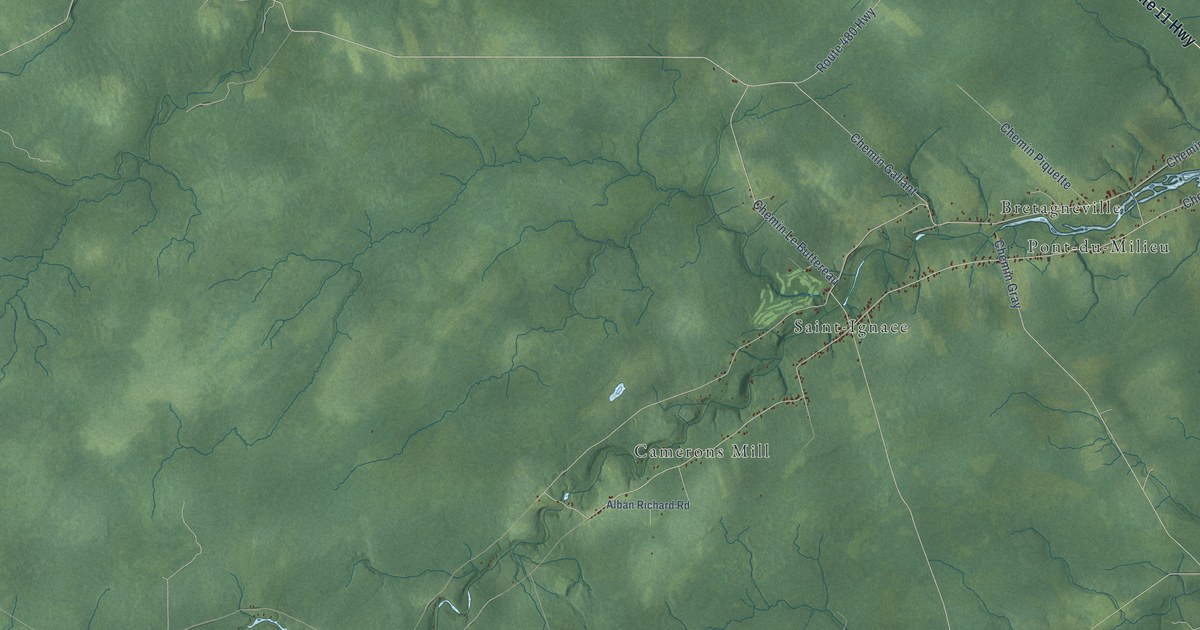
A detailed map of Saint-Louis Parish, New Brunswick, showing every building in its true location, the roads by name, and shaded topographical relief.
Read More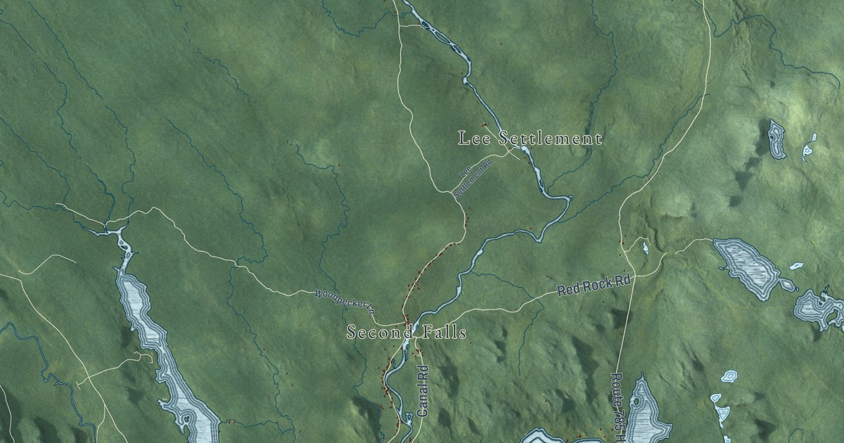
A detailed map of Saint George Parish, New Brunswick, showing every building in its true location, the roads by name, and shaded topographical relief.
Read More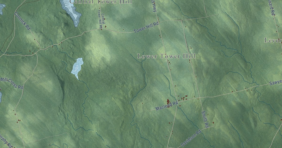
A detailed map of Saint David Parish, New Brunswick, showing every building in its true location, the roads by name, and shaded topographical relief.
Read More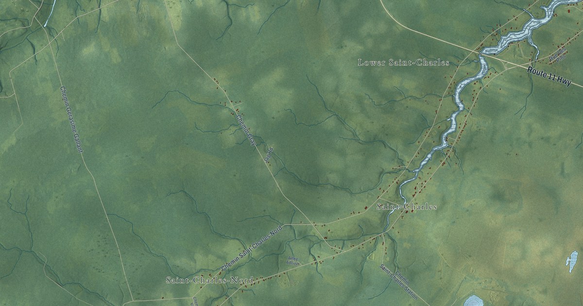
A detailed map of Saint-Charles Parish, New Brunswick, showing every building in its true location, the roads by name, and shaded topographical relief.
Read More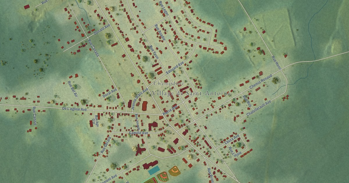
A detailed map of Saint-Antoine, New Brunswick, showing every building in its true location, the roads by name, and shaded topographical relief.
Read More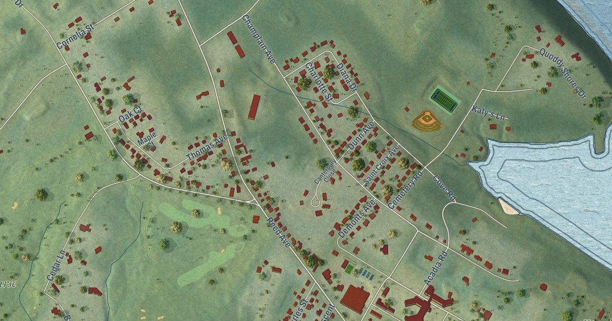
A detailed map of Saint Andrews, New Brunswick, showing every building in its true location, the roads by name, and shaded topographical relief.
Read More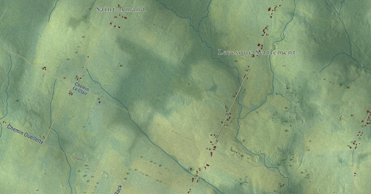
A detailed map of Saint-André, New Brunswick, showing every building in its true location, the roads by name, and shaded topographical relief.
Read More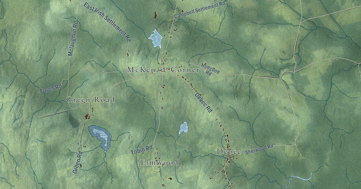
A detailed map of Richmond Parish, New Brunswick, showing every building in its true location, the roads by name, and shaded topographical relief.
Read More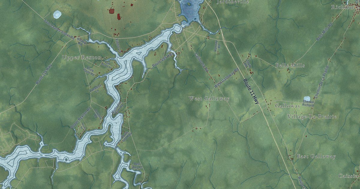
A detailed map of Richibucto Parish, New Brunswick, showing every building in its true location, the roads by name, and shaded topographical relief.
Read More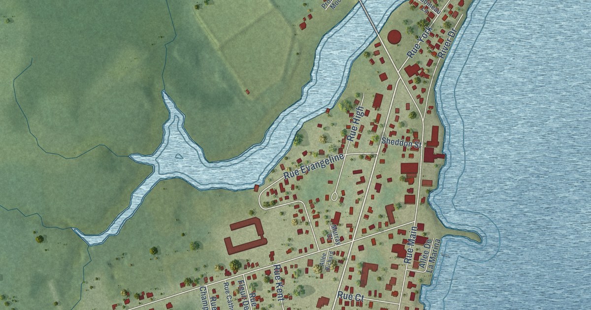
A detailed map of Richibucto, New Brunswick, showing every building in its true location, the roads by name, and shaded topographical relief.
Read More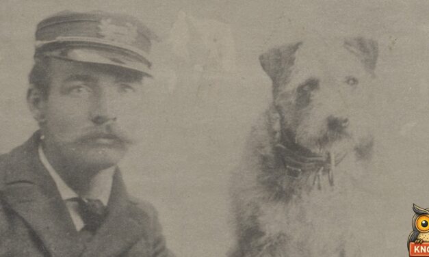
In 1894 Owney, the dog who rode mail trains, spent a Sunday in Maysville, Kentucky. He got breakfast, a photo and a gold medal from the letter carriers.
Read More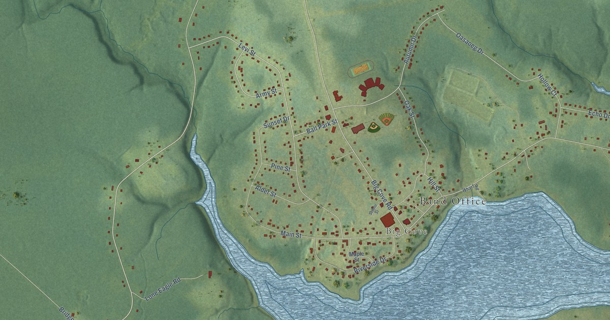
A detailed map of Elsipogtog, New Brunswick, showing every building in its true location, the roads by name, and shaded topographical relief.
Read More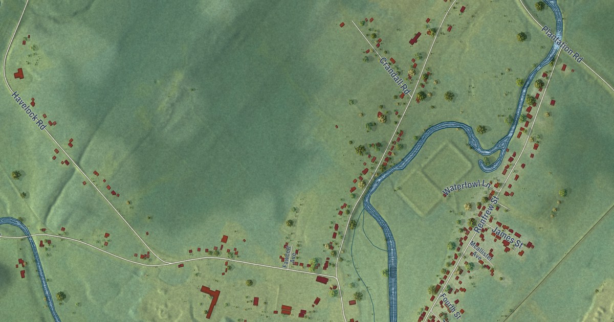
A detailed map of Petitcodiac, New Brunswick, showing every building in its true location, the roads by name, and shaded topographical relief.
Read More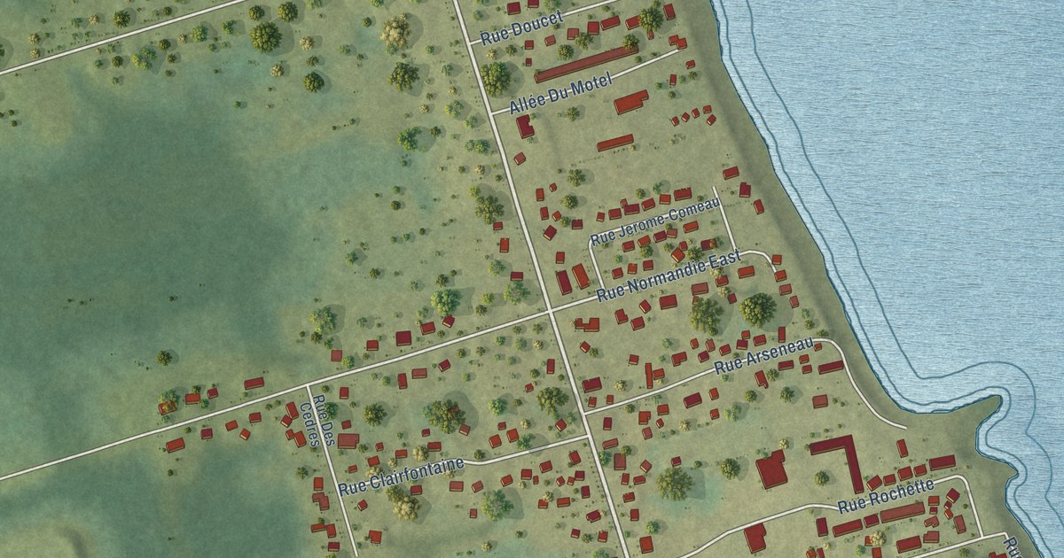
A detailed map of Petit-Rocher, New Brunswick, showing every building in its true location, the roads by name, and shaded topographical relief.
Read More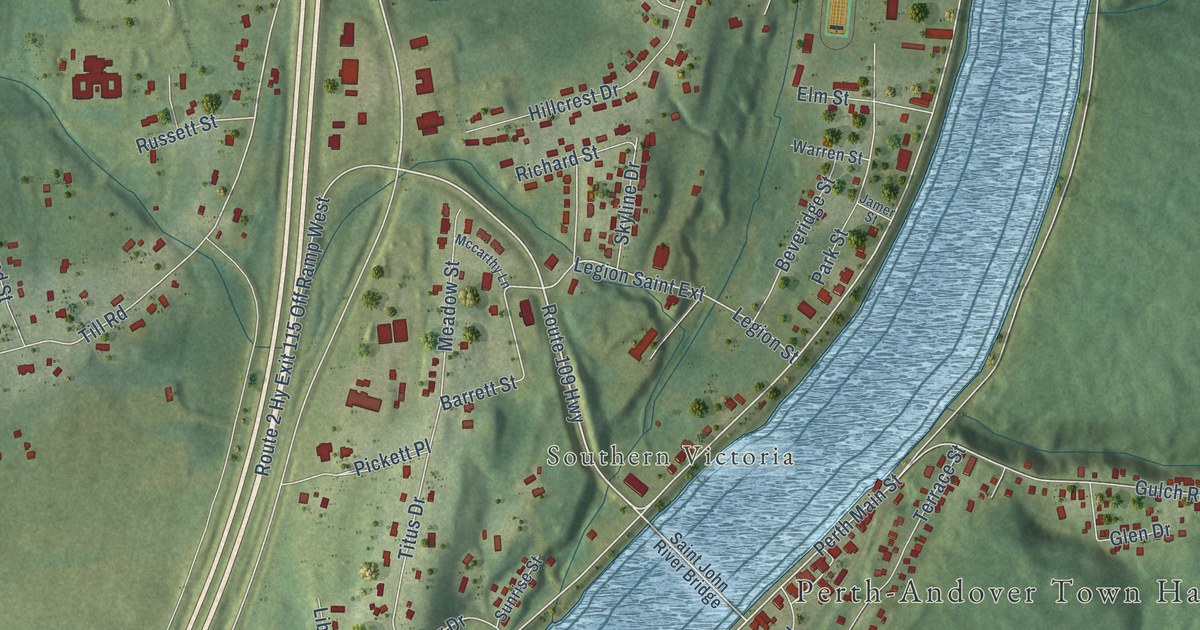
A detailed map of Perth-Andover, New Brunswick, showing every building in its true location, the roads by name, and shaded topographical relief.
Read More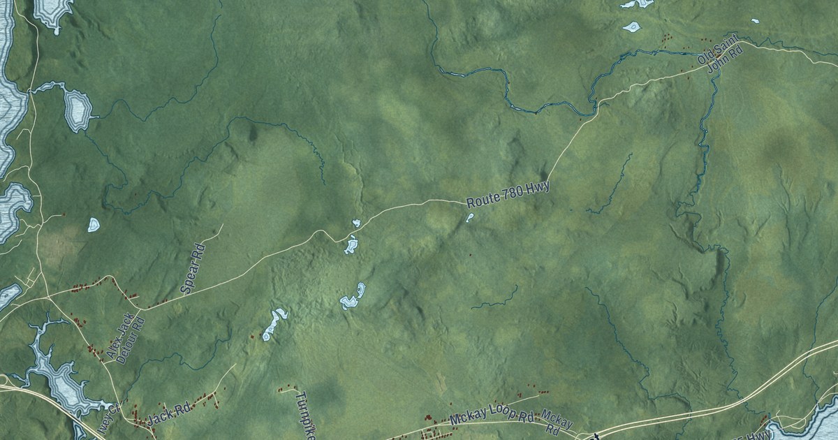
A detailed map of Pennfield Parish, New Brunswick, showing every building in its true location, the roads by name, and shaded topographical relief.
Read More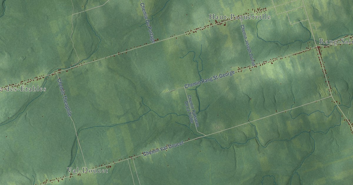
A detailed map of Paquetville Parish, New Brunswick, showing every building in its true location, the roads by name, and shaded topographical relief.
Read More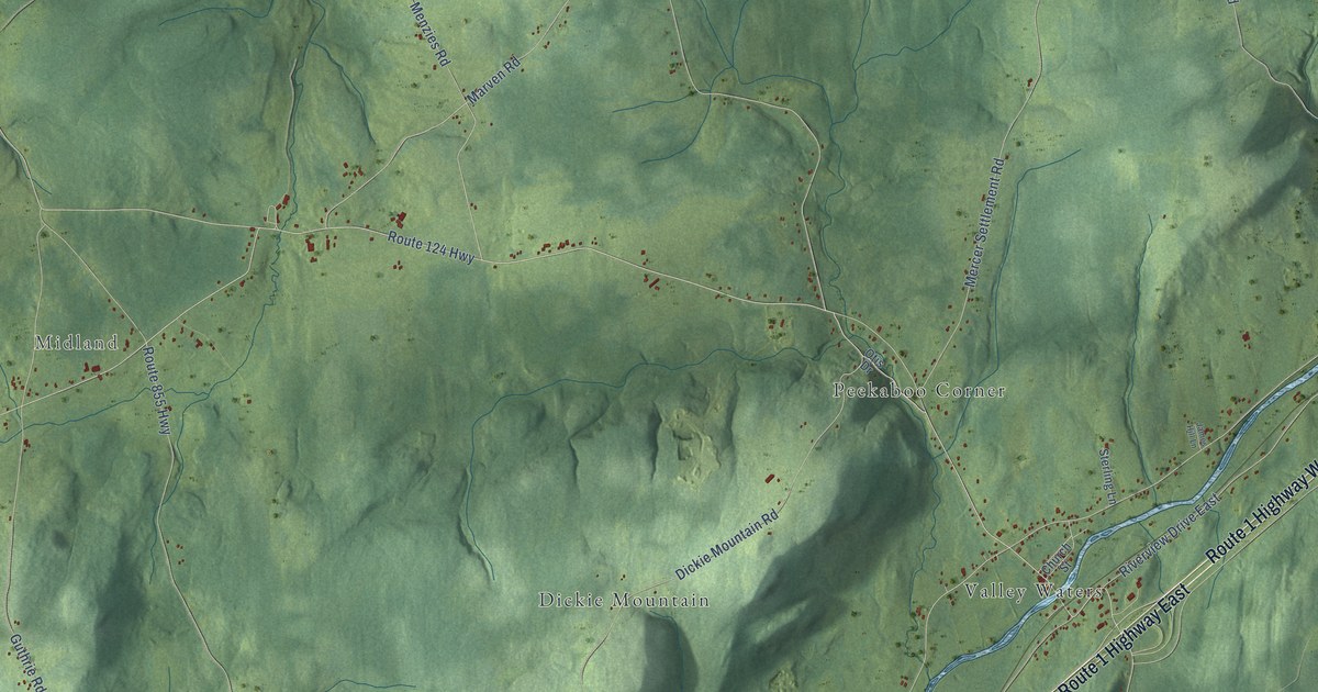
A detailed map of Norton, New Brunswick, showing every building in its true location, the roads by name, and shaded topographical relief.
Read More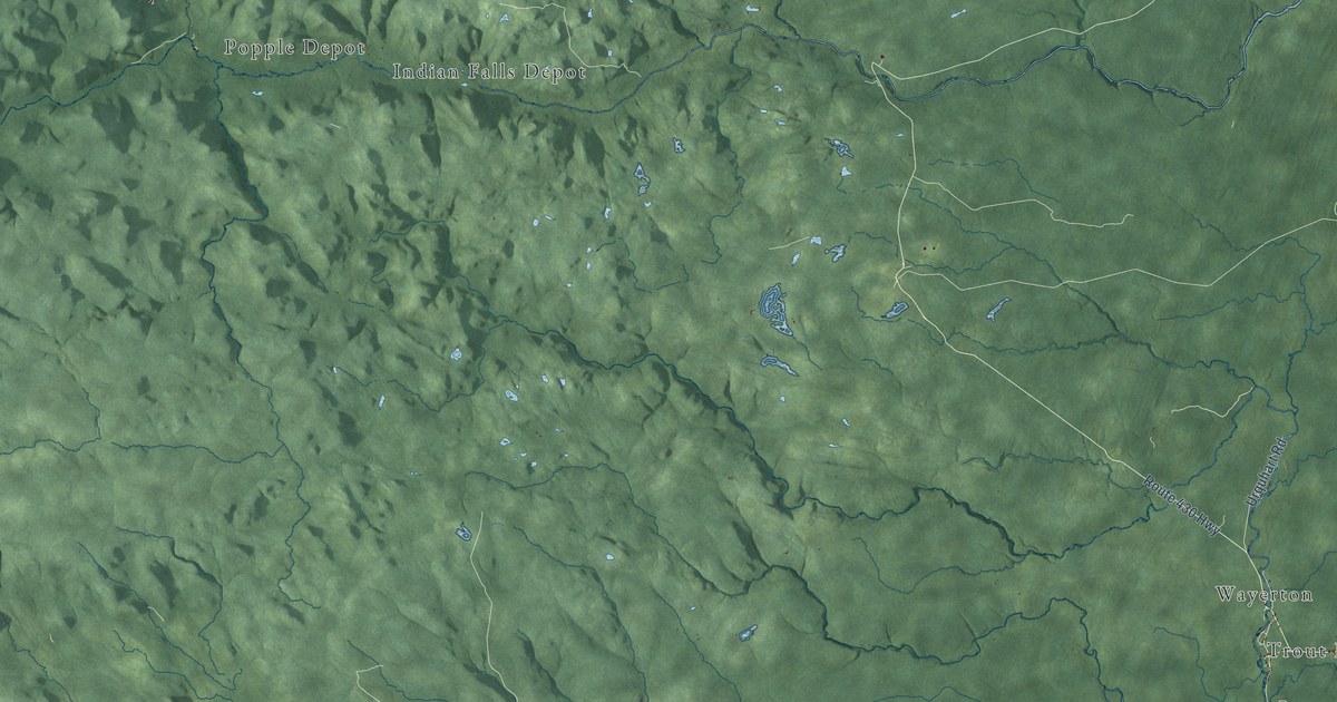
A detailed map of Northesk Parish, New Brunswick, showing every building in its true location, the roads by name, and shaded topographical relief.
Read More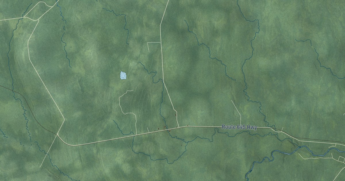
A detailed map of New Maryland Parish, New Brunswick, showing every building in its true location, the roads by name, and shaded topographical relief.
Read More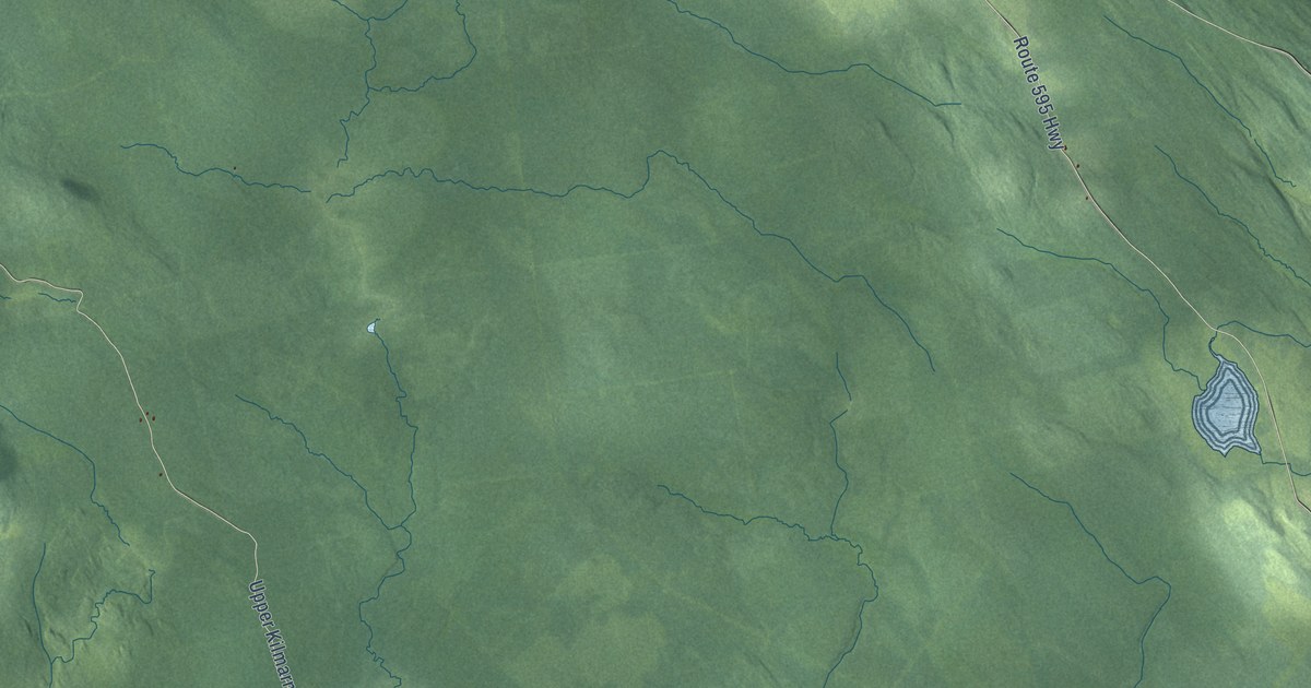
A detailed map of Northampton Parish, New Brunswick, showing every building in its true location, the roads by name, and shaded topographical relief.
Read More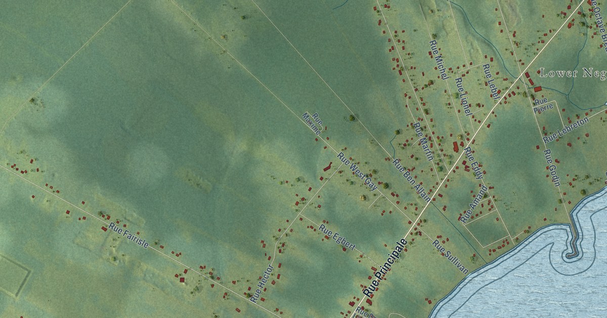
A detailed map of Neguac, New Brunswick, showing every building in its true location, the roads by name, and shaded topographical relief.
Read More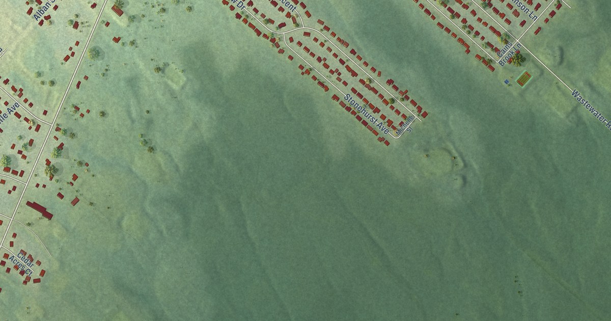
A detailed map of New Maryland, New Brunswick, showing every building in its true location, the roads by name, and shaded topographical relief.
Read More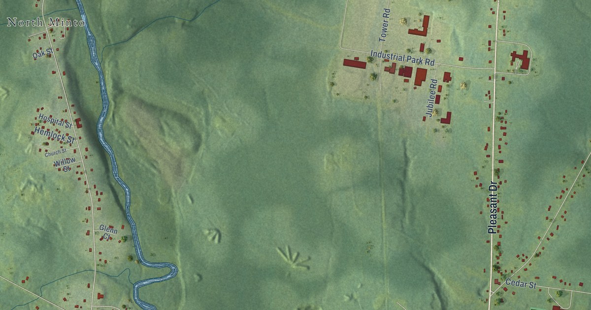
A detailed map of Minto, New Brunswick, showing every building in its true location, the roads by name, and shaded topographical relief.
Read More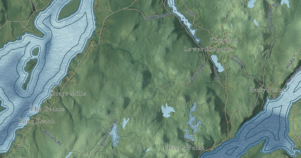
A detailed map of Kingston Parish, New Brunswick, showing every building in its true location, the roads by name, and shaded topographical relief.
Read More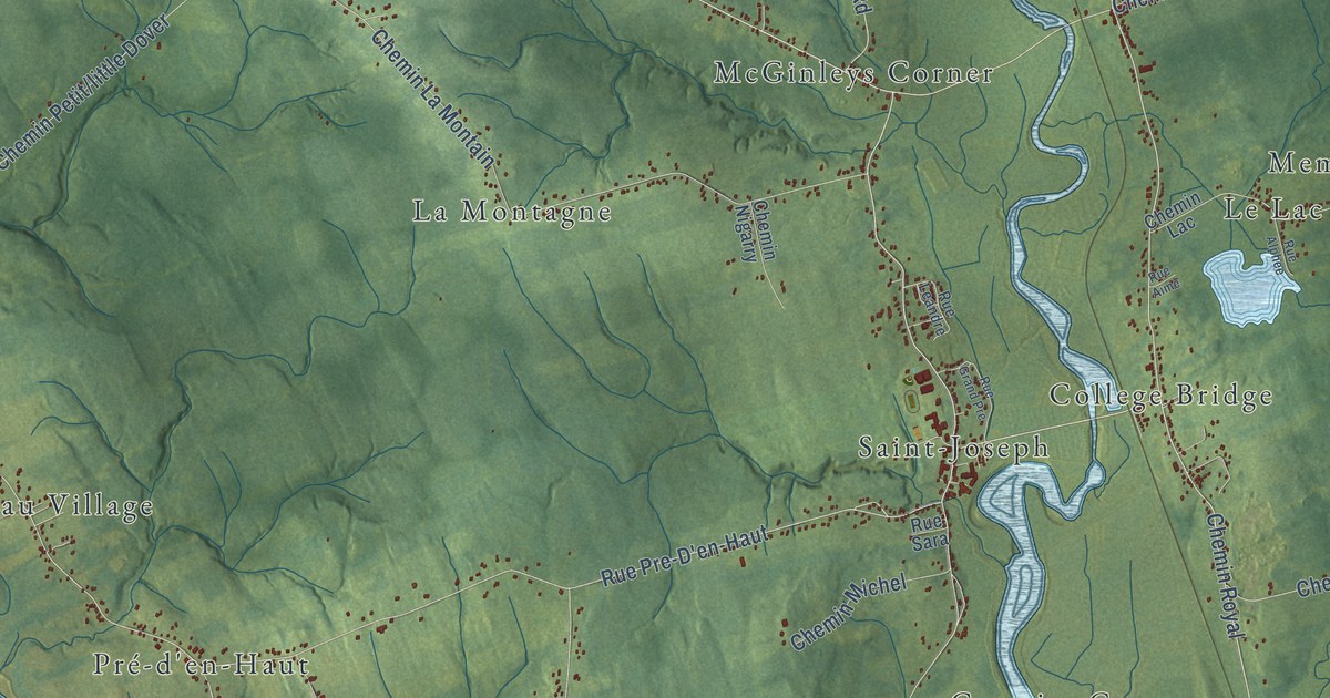
A detailed map of Memramcook, New Brunswick, showing every building in its true location, the roads by name, and shaded topographical relief.
Read More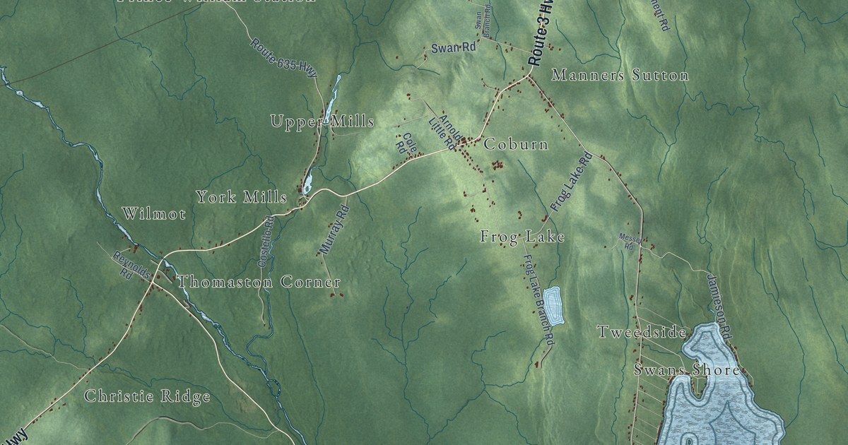
A detailed map of Manners Sutton Parish, New Brunswick, showing every building in its true location, the roads by name, and shaded topographical relief.
Read More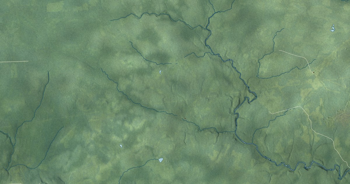
A detailed map of Maugerville Parish, New Brunswick, showing every building in its true location, the roads by name, and shaded topographical relief.
Read More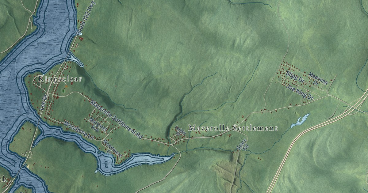
A detailed map of Kingsclear Parish, New Brunswick, showing every building in its true location, the roads by name, and shaded topographical relief.
Read More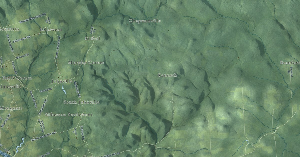
A detailed map of Kent Parish, New Brunswick, showing every building in its true location, the roads by name, and shaded topographical relief.
Read More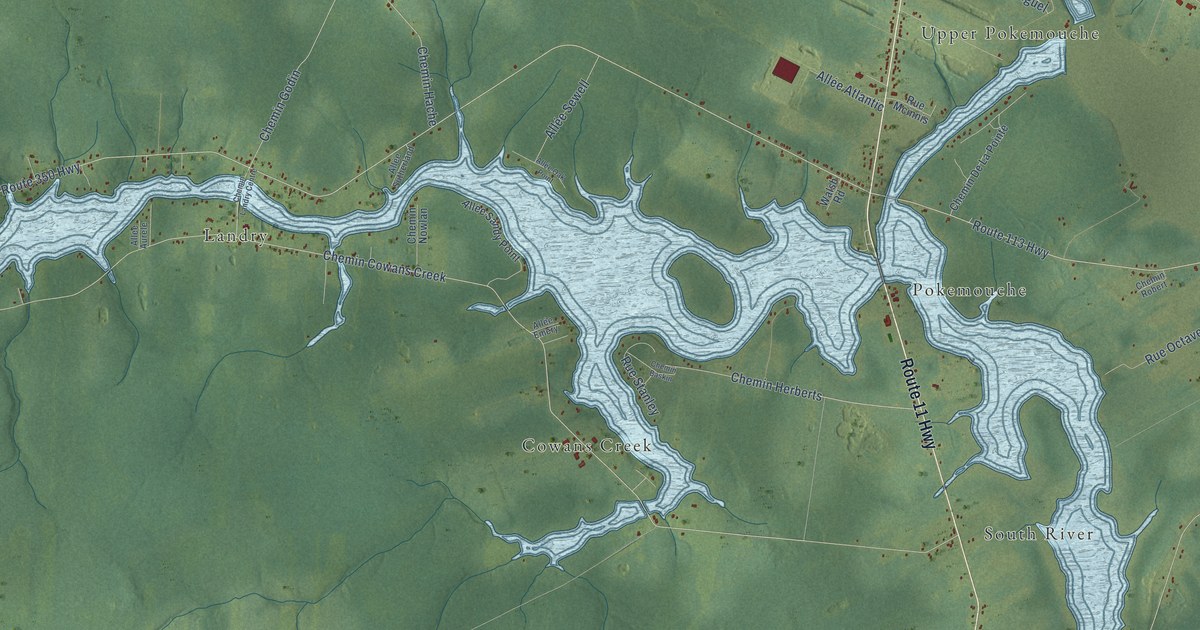
A detailed map of Inkerman Parish, New Brunswick, showing every building in its true location, the roads by name, and shaded topographical relief.
Read More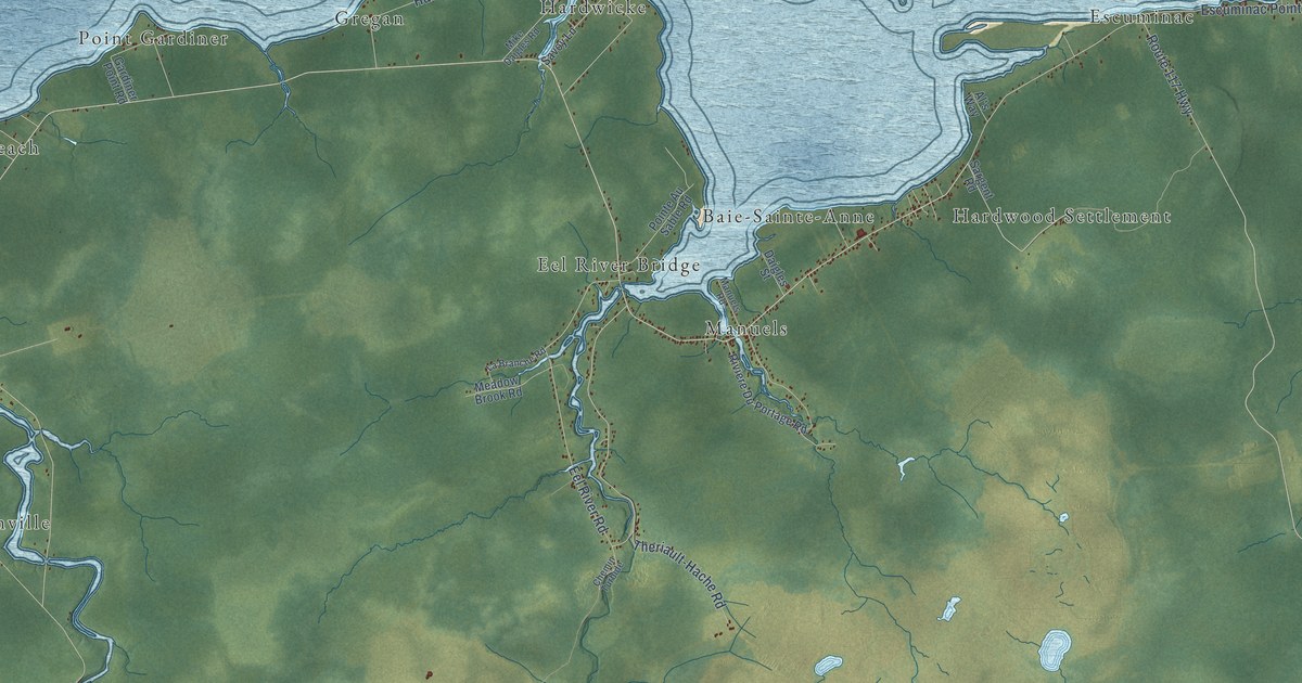
A detailed map of Hardwicke Parish, New Brunswick, showing every building in its true location, the roads by name, and shaded topographical relief.
Read More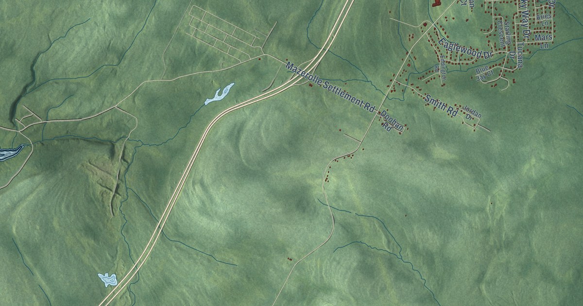
A detailed map of Hanwell, New Brunswick, showing every building in its true location, the roads by name, and shaded topographical relief.
Read More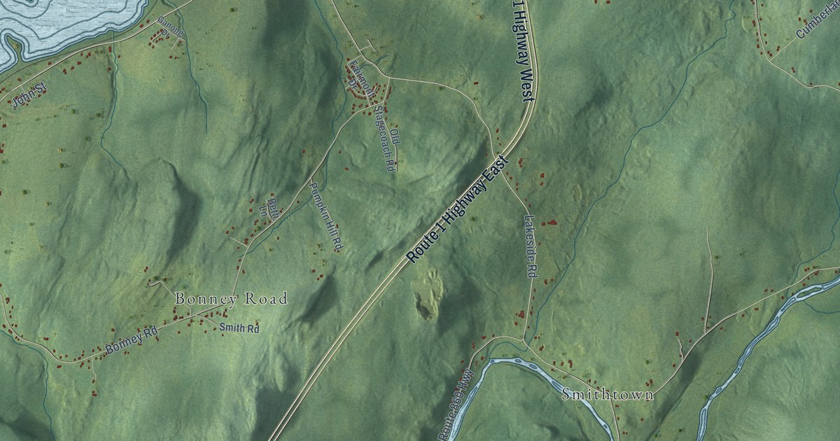
A detailed map of Hampton Parish, New Brunswick, showing every building in its true location, the roads by name, and shaded topographical relief.
Read More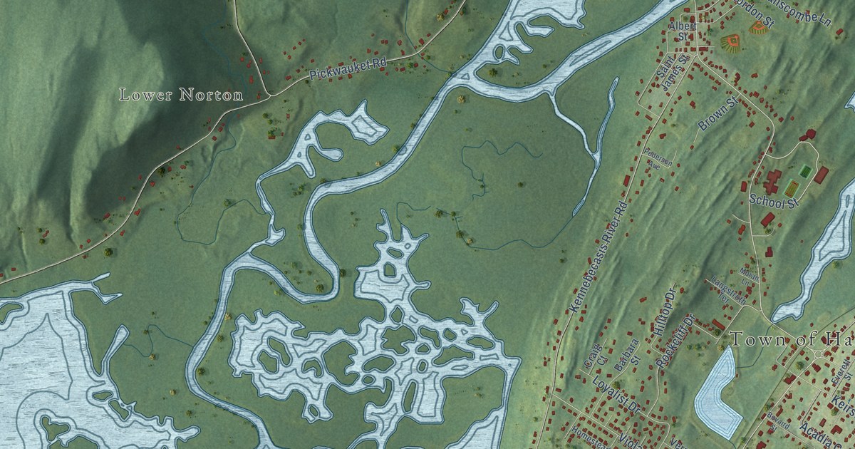
A detailed map of Hampton, New Brunswick, showing every building in its true location, the roads by name, and shaded topographical relief.
Read More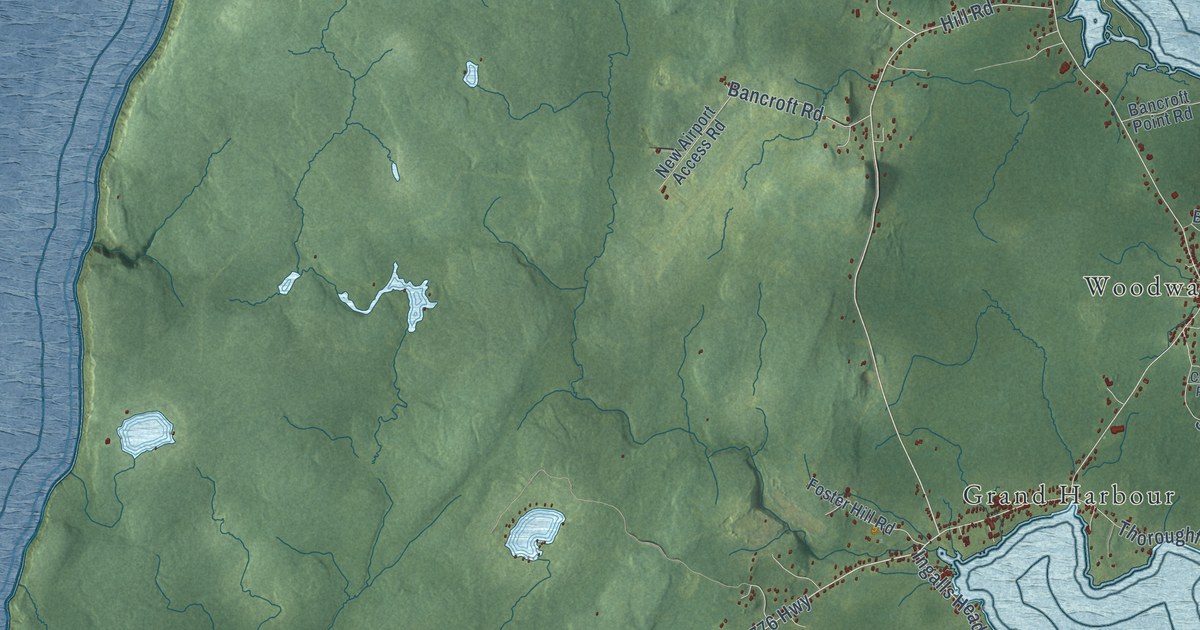
A detailed map of Grand Manan, New Brunswick, showing every building in its true location, the roads by name, and shaded topographical relief.
Read More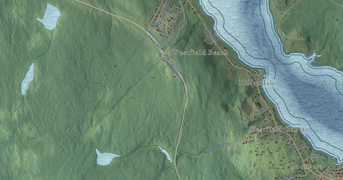
A detailed map of Grand Bay-Westfield, New Brunswick, showing every building in its true location, the roads by name, and shaded topographical relief.
Read More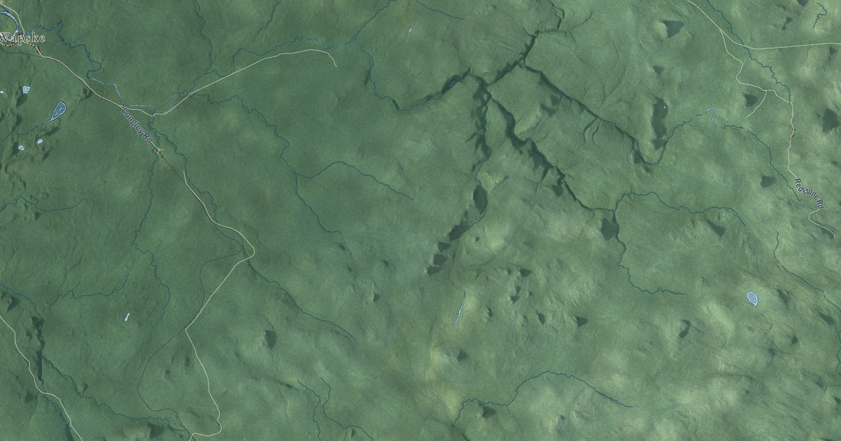
A detailed map of Gordon Parish, New Brunswick, showing every building in its true location, the roads by name, and shaded topographical relief.
Read More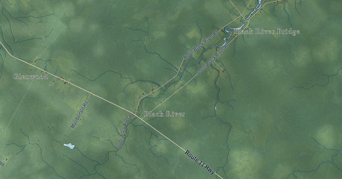
A detailed map of Glenelg Parish, New Brunswick, showing every building in its true location, the roads by name, and shaded topographical relief.
Read More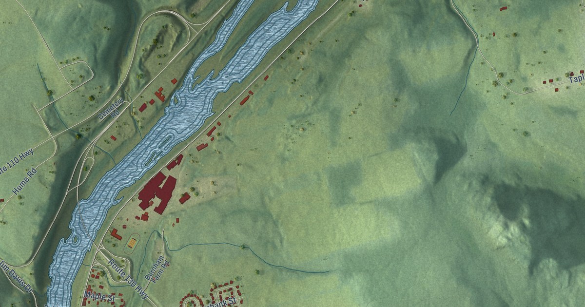
A detailed map of Florenceville-Bristol, New Brunswick, showing every building in its true location, the roads by name, and shaded topographical relief.
Read More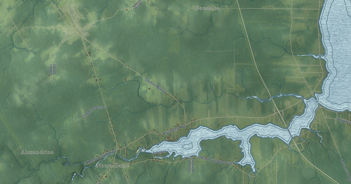
A detailed map of Dundas Parish, New Brunswick, showing every building in its true location, the roads by name, and shaded topographical relief.
Read More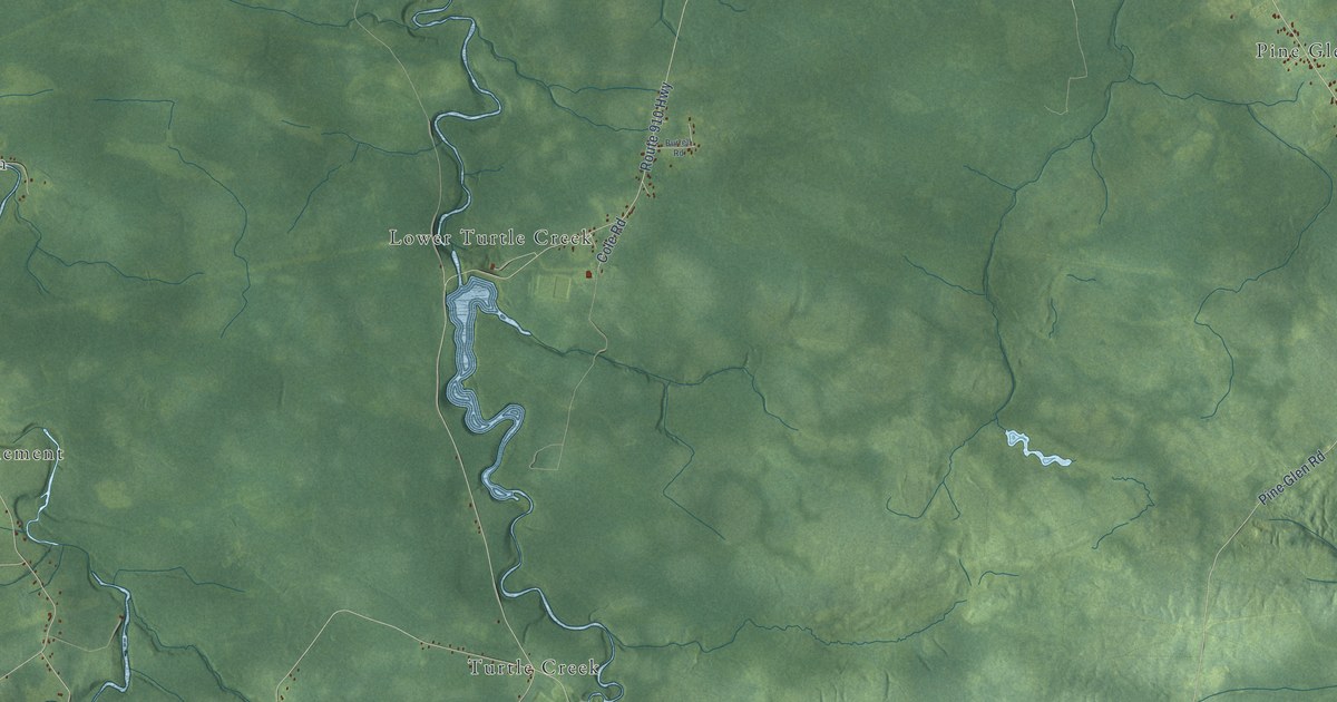
A detailed map of Coverdale Parish, New Brunswick, showing every building in its true location, the roads by name, and shaded topographical relief.
Read More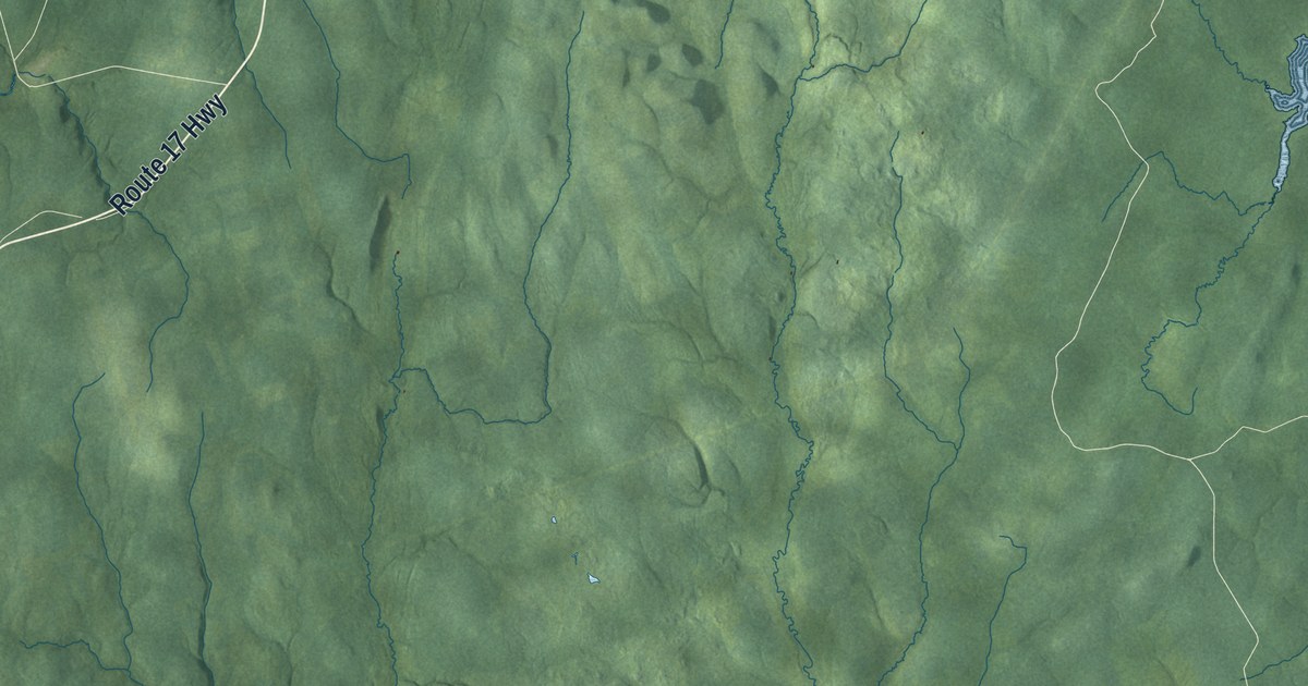
A detailed map of Drummond Parish, New Brunswick, showing every building in its true location, the roads by name, and shaded topographical relief.
Read More















