Detailed Map of Norman’s Cove-Long Cove, Newfoundland and Labrador
A detailed map of Norman’s Cove-Long Cove, Newfoundland and Labrador, showing every building in its true location, the roads by name, and shaded topographical relief.
Read More
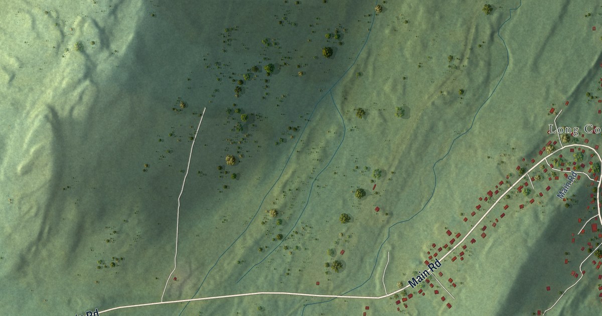
A detailed map of Norman’s Cove-Long Cove, Newfoundland and Labrador, showing every building in its true location, the roads by name, and shaded topographical relief.
Read More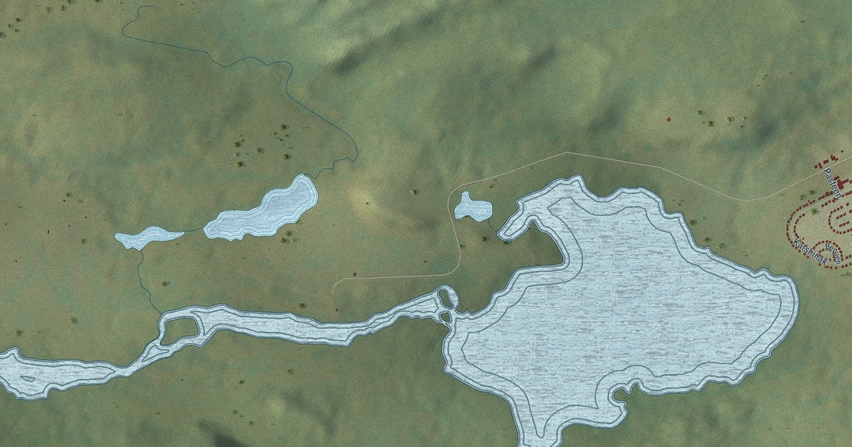
A detailed map of Natuashish, Newfoundland and Labrador, showing every building in its true location, the roads by name, and shaded topographical relief.
Read More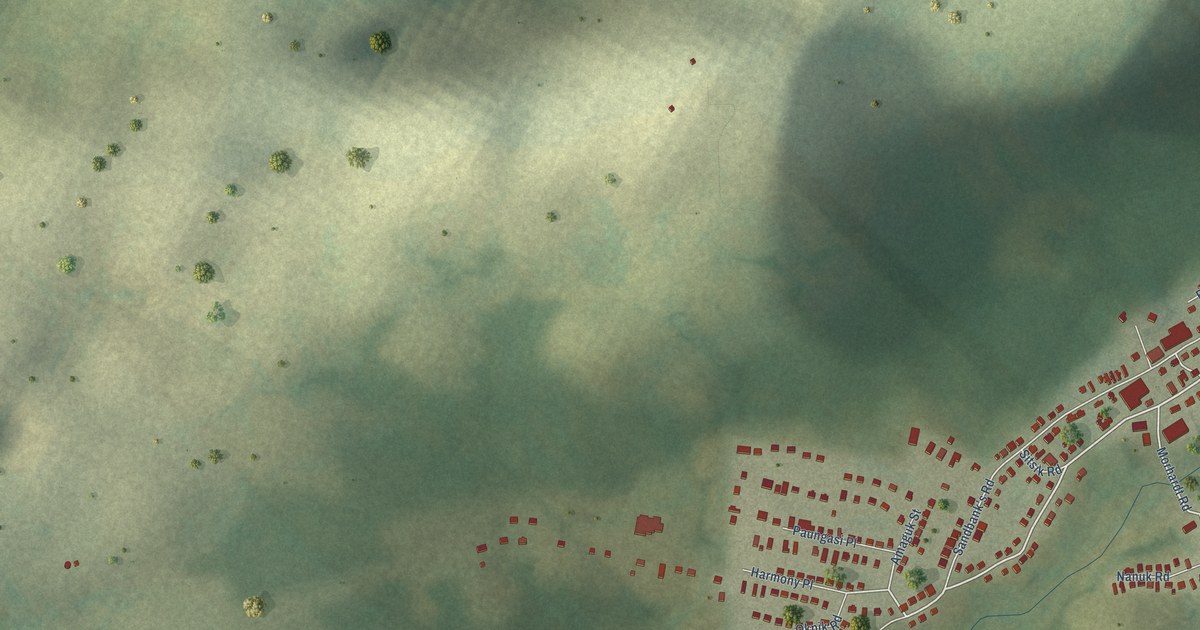
A detailed map of Nain, Newfoundland and Labrador, showing every building in its true location, the roads by name, and shaded topographical relief.
Read More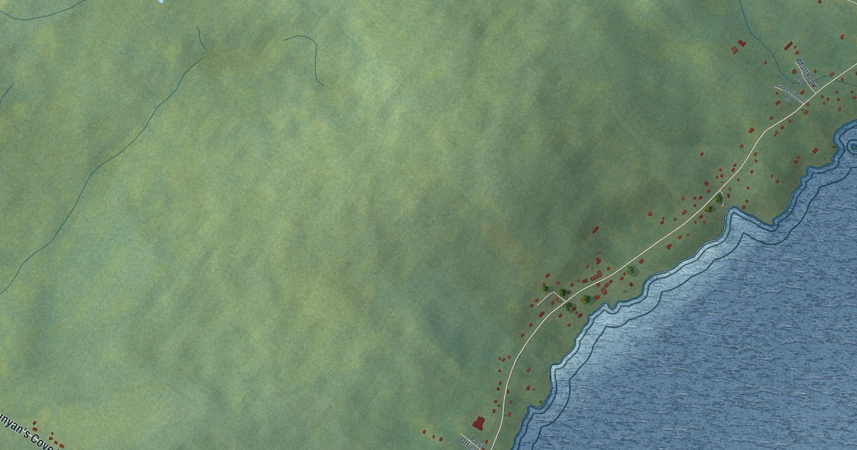
A detailed map of Musgravetown, Newfoundland and Labrador, showing every building in its true location, the roads by name, and shaded topographical relief.
Read More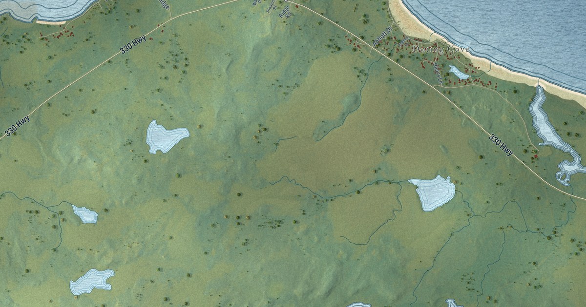
A detailed map of Musgrave Harbour, Newfoundland and Labrador, showing every building in its true location, the roads by name, and shaded topographical relief.
Read More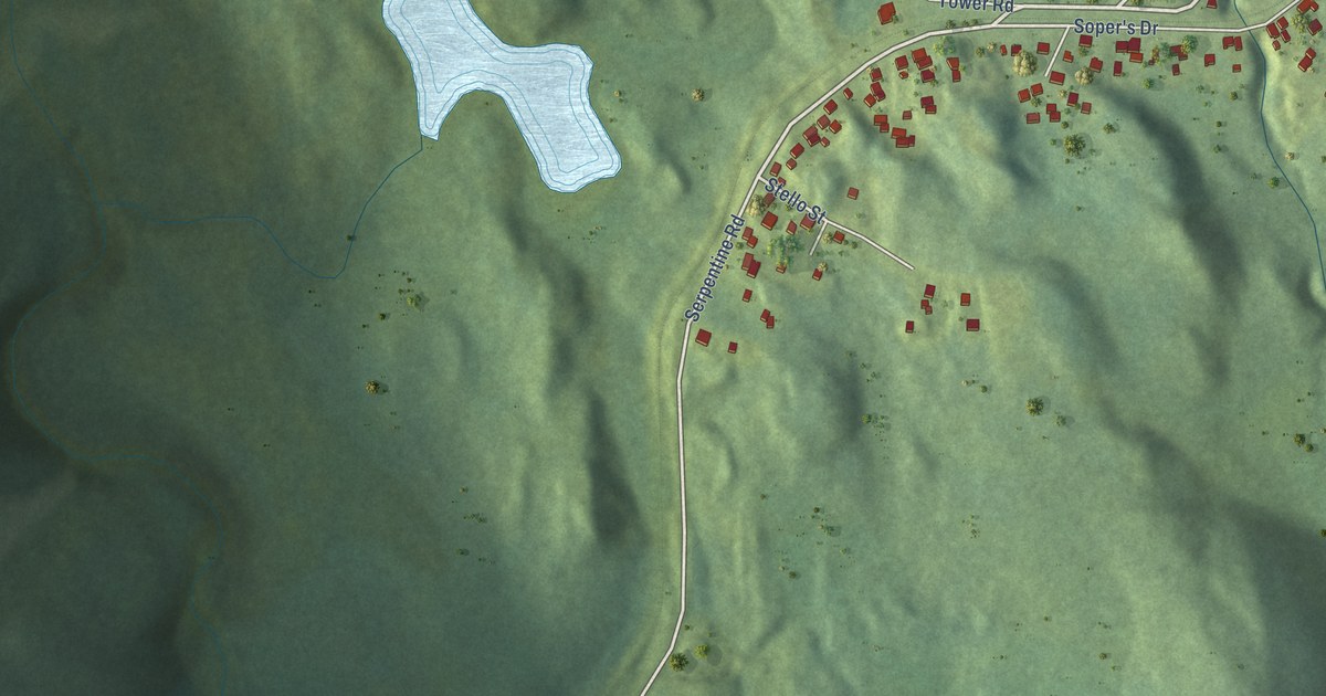
A detailed map of Mount Moriah, Newfoundland and Labrador, showing every building in its true location, the roads by name, and shaded topographical relief.
Read More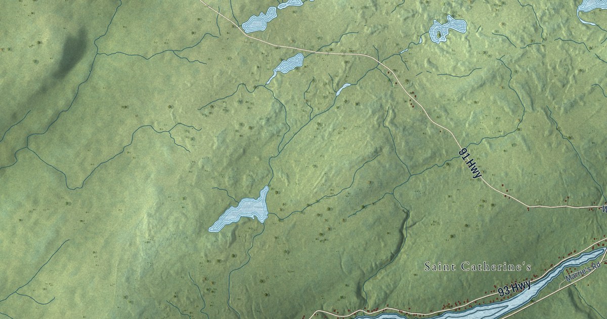
A detailed map of Mount Carmel-Mitchells Brook-St. Catherine’s, Newfoundland and Labrador, showing every building in its true location, the roads by name, and shaded topographical relief.
Read More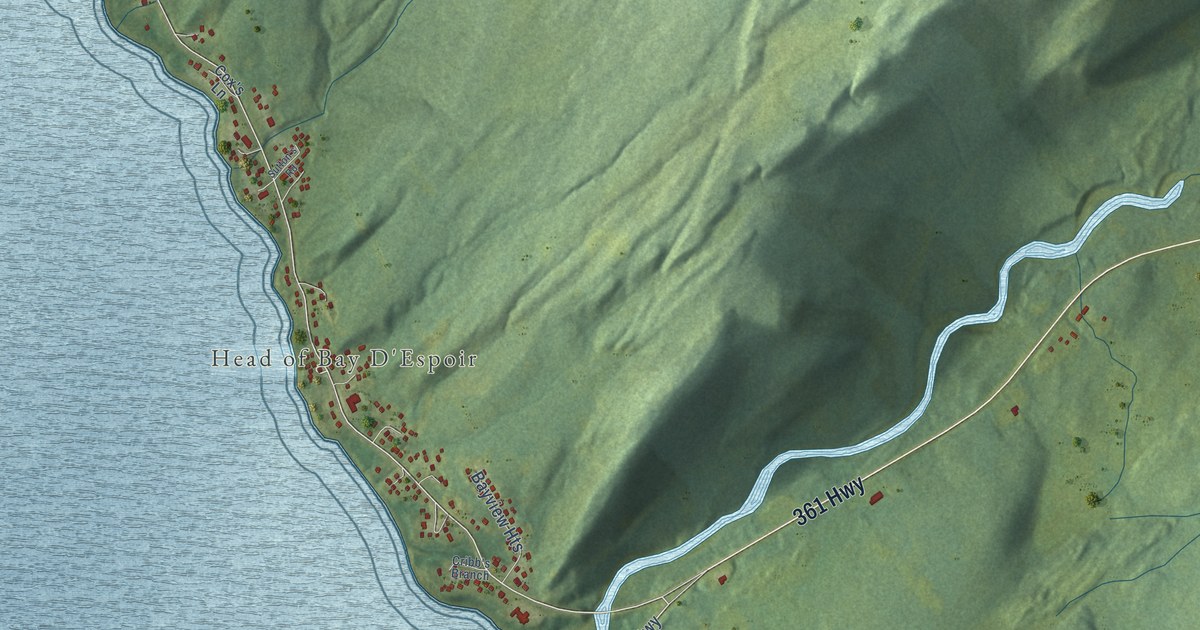
A detailed map of Milltown-Head of Bay d’Espoir, Newfoundland and Labrador, showing every building in its true location, the roads by name, and shaded topographical relief.
Read More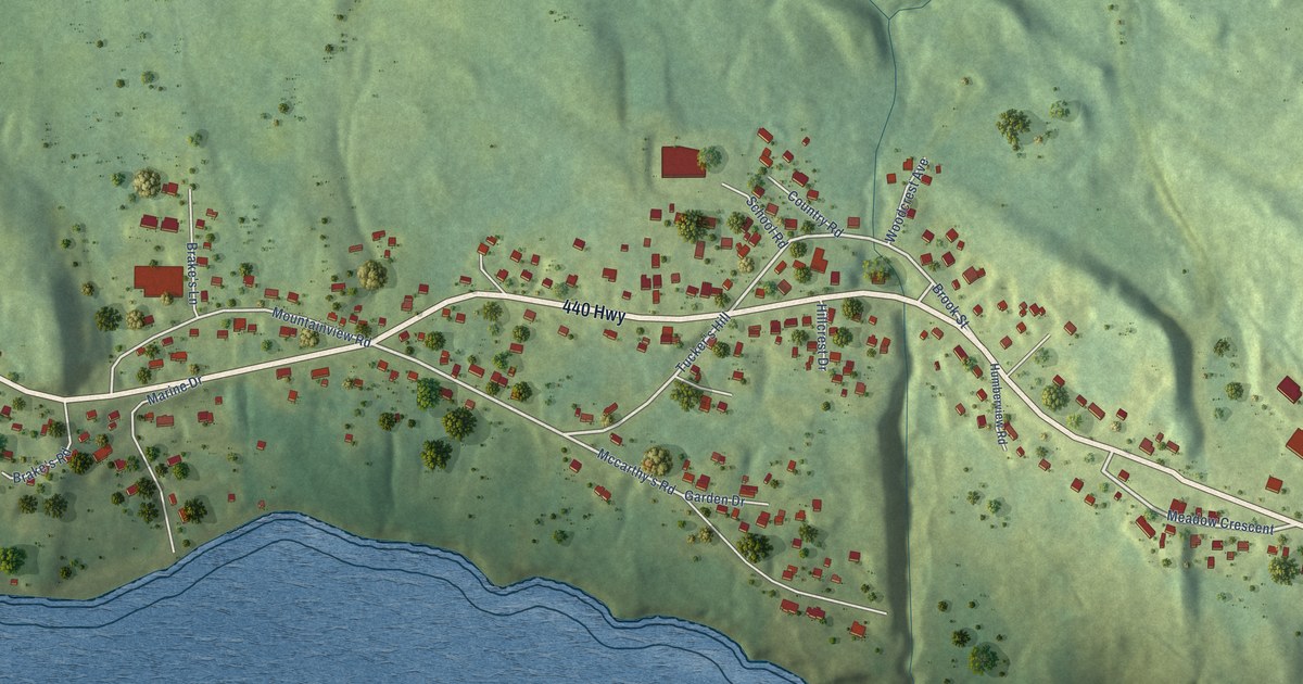
A detailed map of Meadows, Newfoundland and Labrador, showing every building in its true location, the roads by name, and shaded topographical relief.
Read More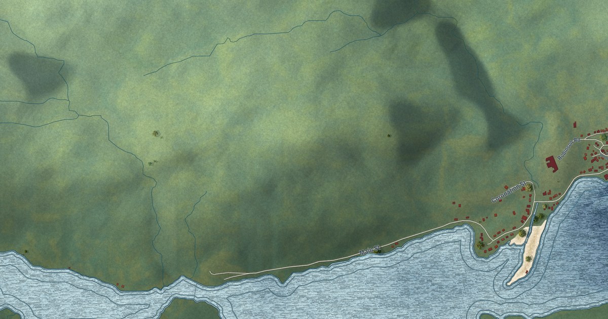
A detailed map of Middle Arm, Newfoundland and Labrador, showing every building in its true location, the roads by name, and shaded topographical relief.
Read More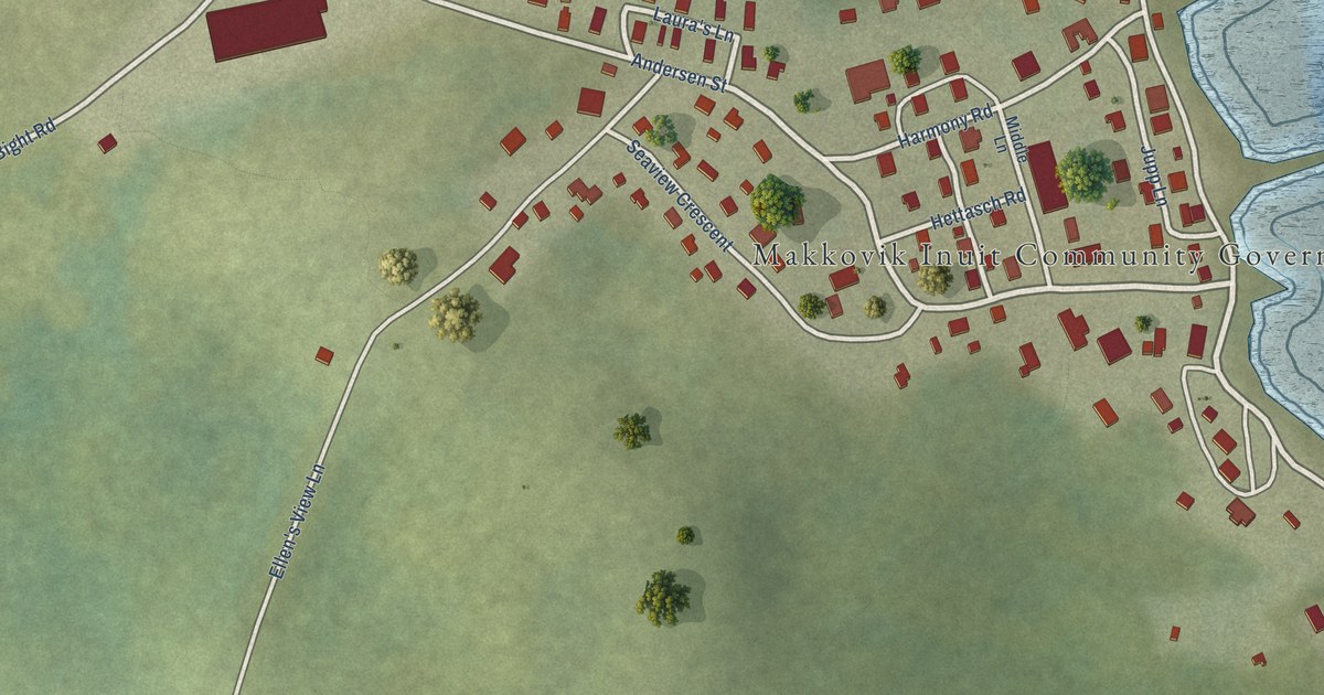
A detailed map of Makkovik, Newfoundland and Labrador, showing every building in its true location, the roads by name, and shaded topographical relief.
Read More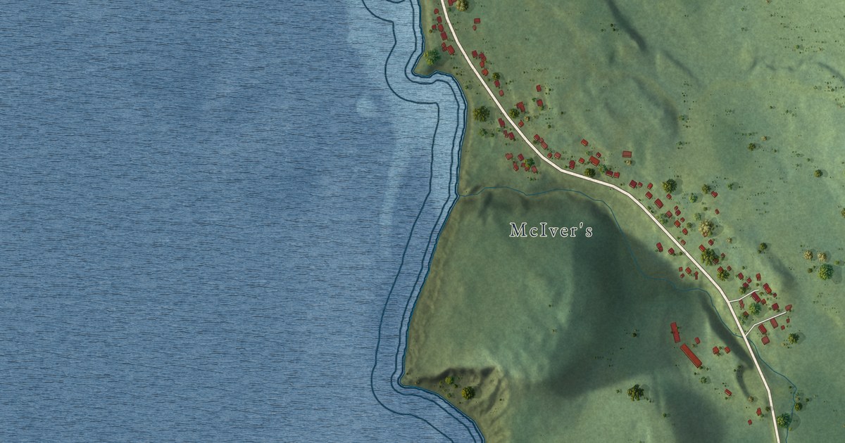
A detailed map of McIvers, Newfoundland and Labrador, showing every building in its true location, the roads by name, and shaded topographical relief.
Read More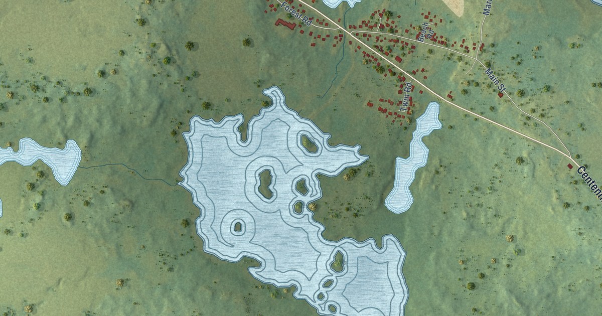
A detailed map of Lumsden, Newfoundland and Labrador, showing every building in its true location, the roads by name, and shaded topographical relief.
Read More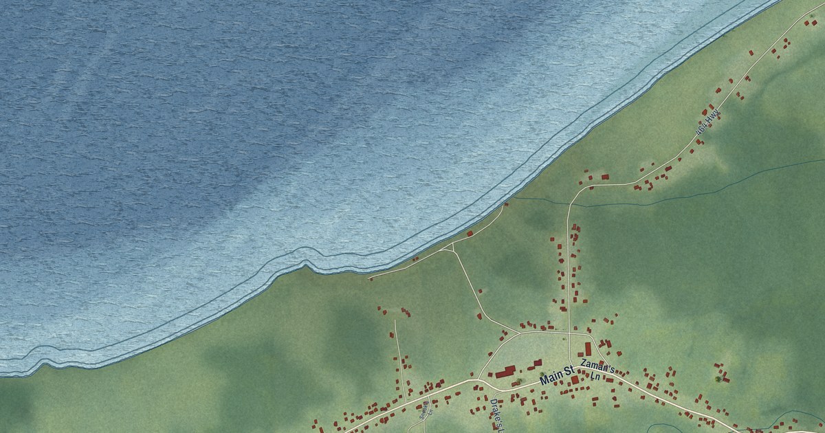
A detailed map of Lourdes, Newfoundland and Labrador, showing every building in its true location, the roads by name, and shaded topographical relief.
Read More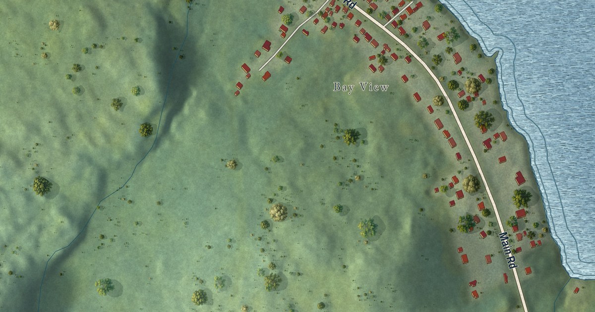
A detailed map of Lewin’s Cove, Newfoundland and Labrador, showing every building in its true location, the roads by name, and shaded topographical relief.
Read More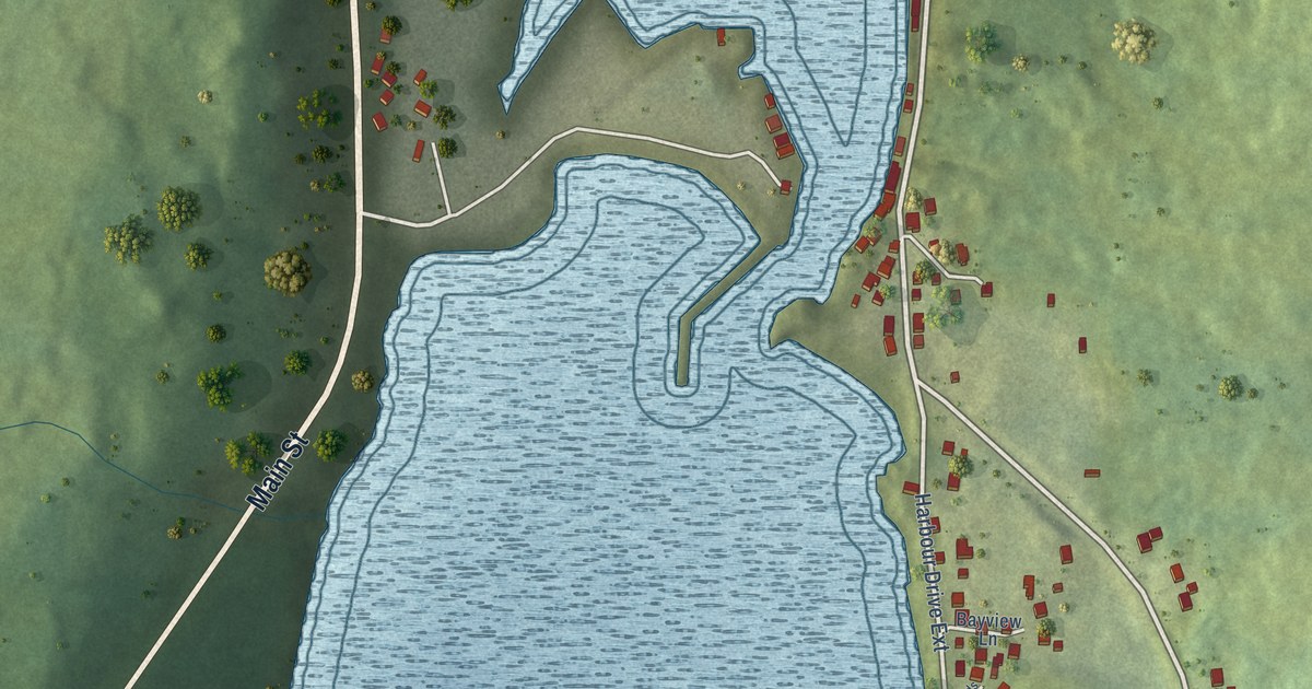
A detailed map of Lawn, Newfoundland and Labrador, showing every building in its true location, the roads by name, and shaded topographical relief.
Read More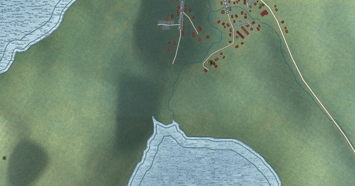
A detailed map of LaScie, Newfoundland and Labrador, showing every building in its true location, the roads by name, and shaded topographical relief.
Read More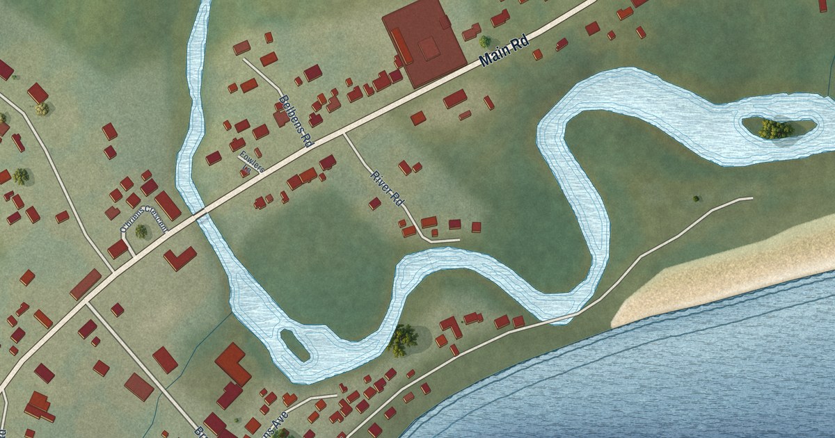
A detailed map of L’Anse au Loup, Newfoundland and Labrador, showing every building in its true location, the roads by name, and shaded topographical relief.
Read More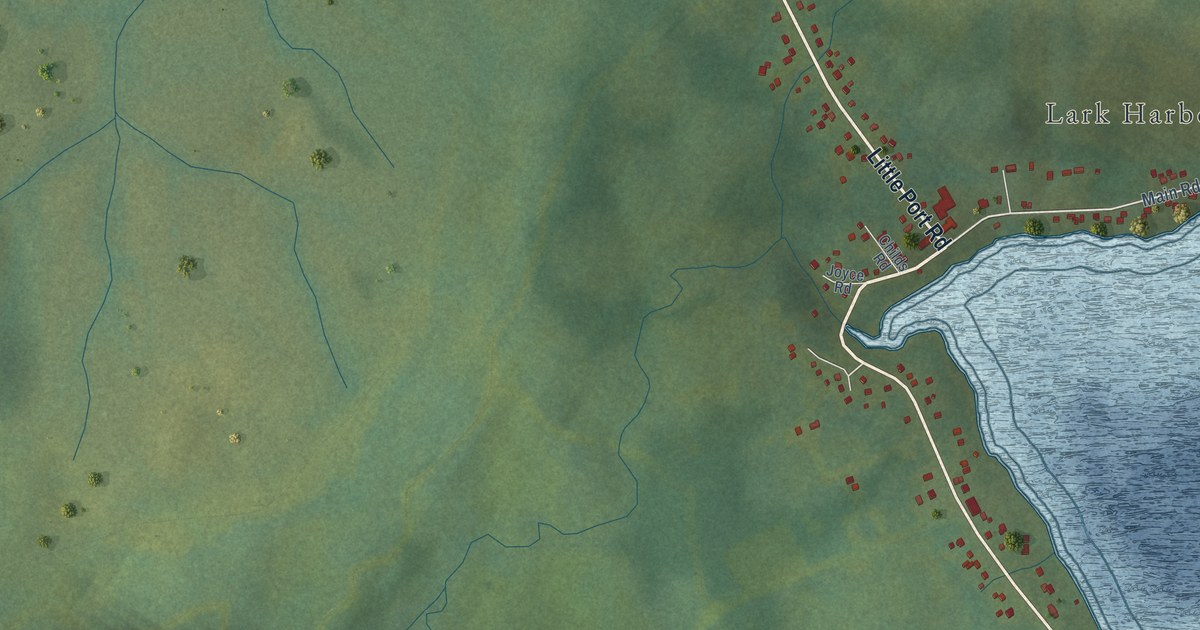
A detailed map of Lark Harbour, Newfoundland and Labrador, showing every building in its true location, the roads by name, and shaded topographical relief.
Read More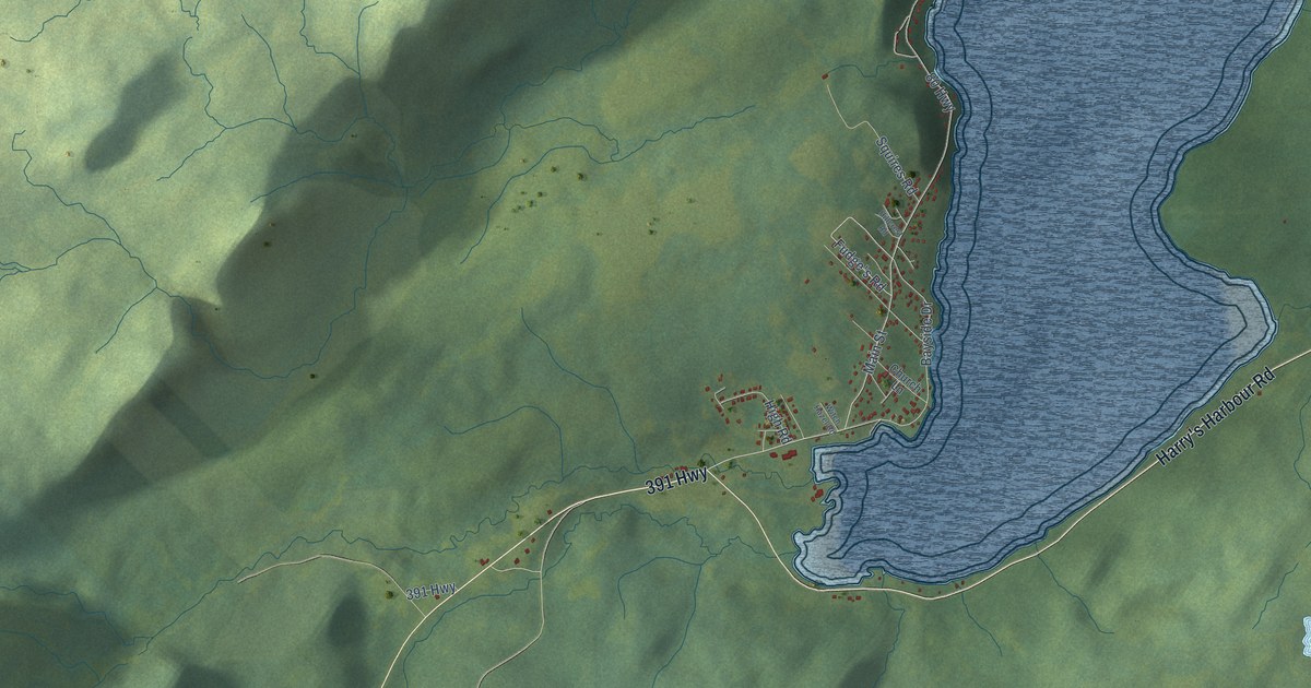
A detailed map of King’s Point, Newfoundland and Labrador, showing every building in its true location, the roads by name, and shaded topographical relief.
Read More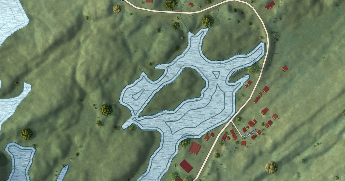
A detailed map of Isle aux Morts, Newfoundland and Labrador, showing every building in its true location, the roads by name, and shaded topographical relief.
Read More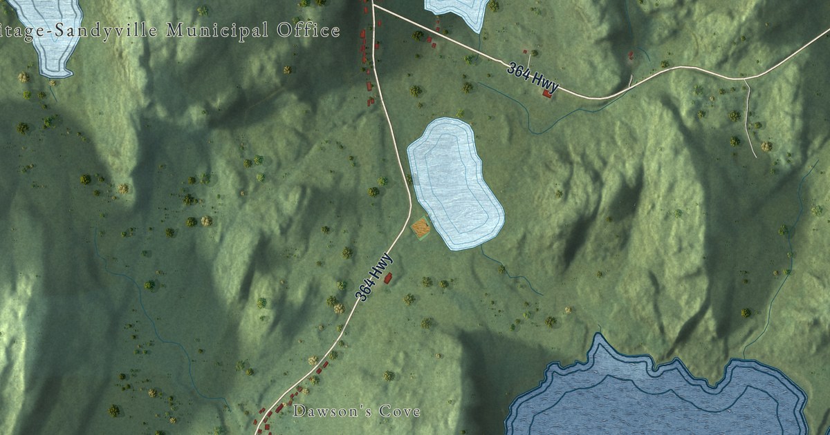
A detailed map of Hermitage-Sandyville, Newfoundland and Labrador, showing every building in its true location, the roads by name, and shaded topographical relief.
Read More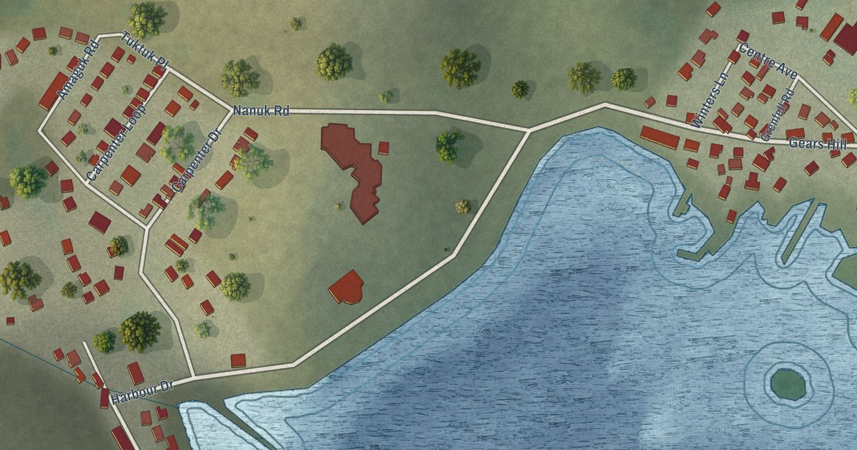
A detailed map of Hopedale, Newfoundland and Labrador, showing every building in its true location, the roads by name, and shaded topographical relief.
Read More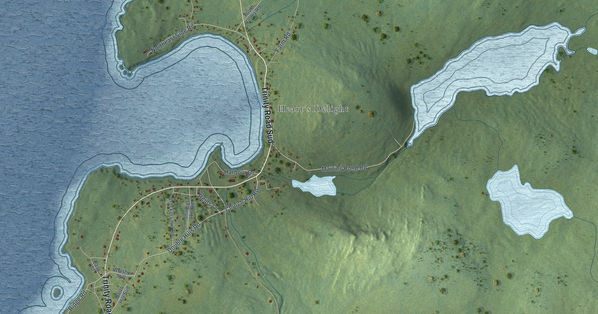
A detailed map of Heart’s Delight-Islington, Newfoundland and Labrador, showing every building in its true location, the roads by name, and shaded topographical relief.
Read More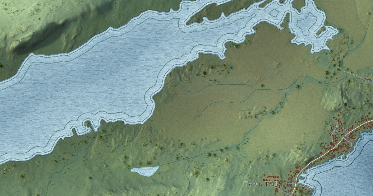
A detailed map of Hare Bay, Newfoundland and Labrador, showing every building in its true location, the roads by name, and shaded topographical relief.
Read More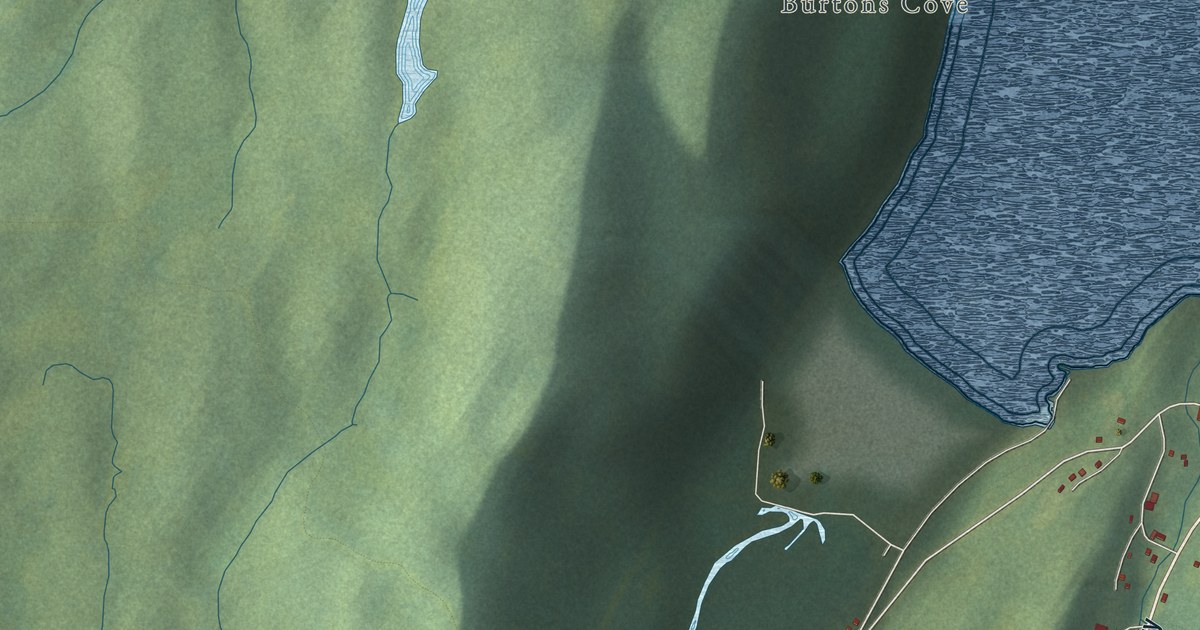
A detailed map of Hampden, Newfoundland and Labrador, showing every building in its true location, the roads by name, and shaded topographical relief.
Read More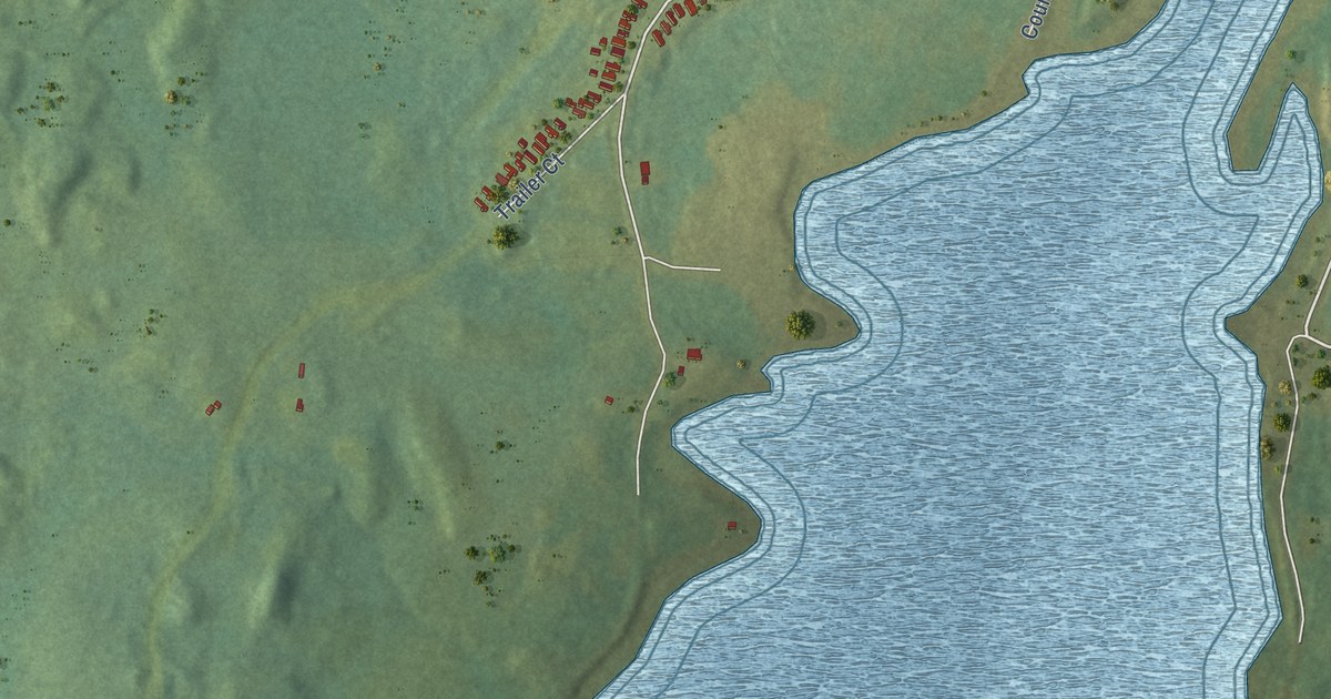
A detailed map of Glenwood, Newfoundland and Labrador, showing every building in its true location, the roads by name, and shaded topographical relief.
Read More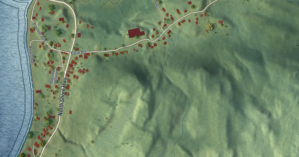
A detailed map of Gillams, Newfoundland and Labrador, showing every building in its true location, the roads by name, and shaded topographical relief.
Read More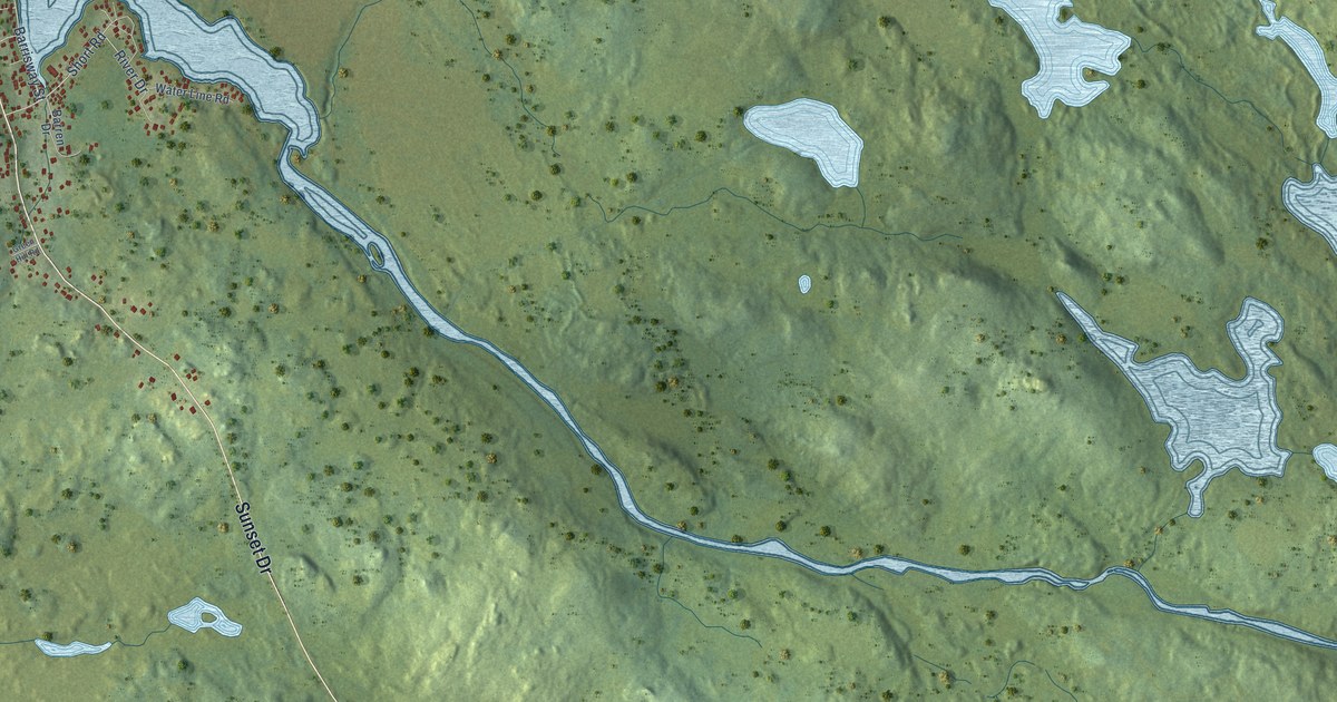
A detailed map of Garnish, Newfoundland and Labrador, showing every building in its true location, the roads by name, and shaded topographical relief.
Read More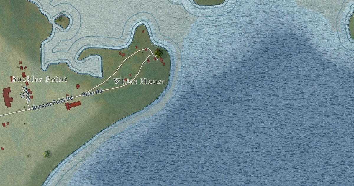
A detailed map of Forteau, Newfoundland and Labrador, showing every building in its true location, the roads by name, and shaded topographical relief.
Read More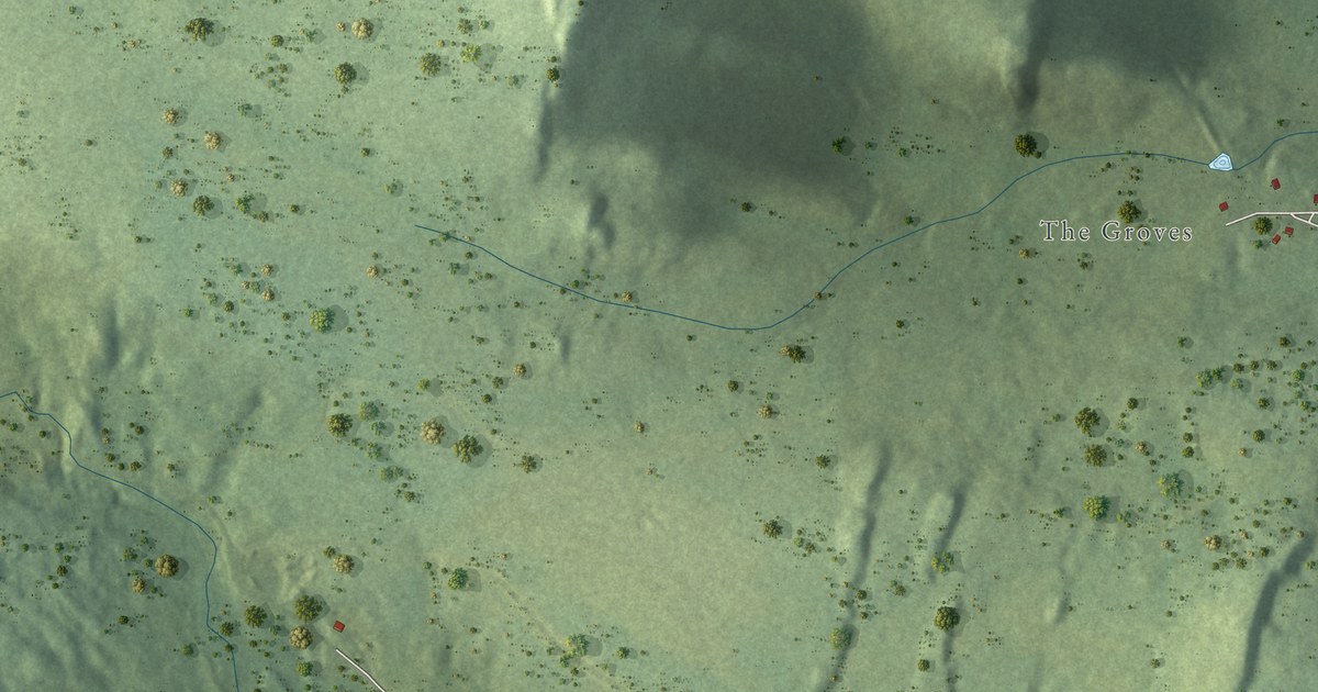
A detailed map of Ferryland, Newfoundland and Labrador, showing every building in its true location, the roads by name, and shaded topographical relief.
Read More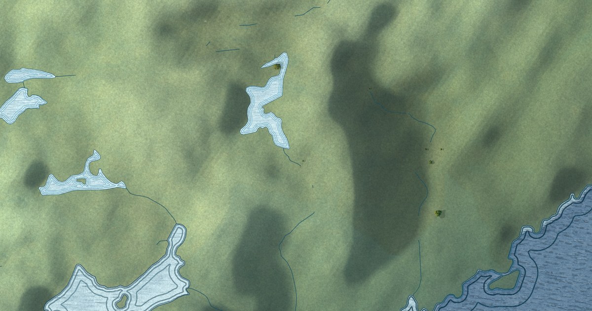
A detailed map of Englee, Newfoundland and Labrador, showing every building in its true location, the roads by name, and shaded topographical relief.
Read More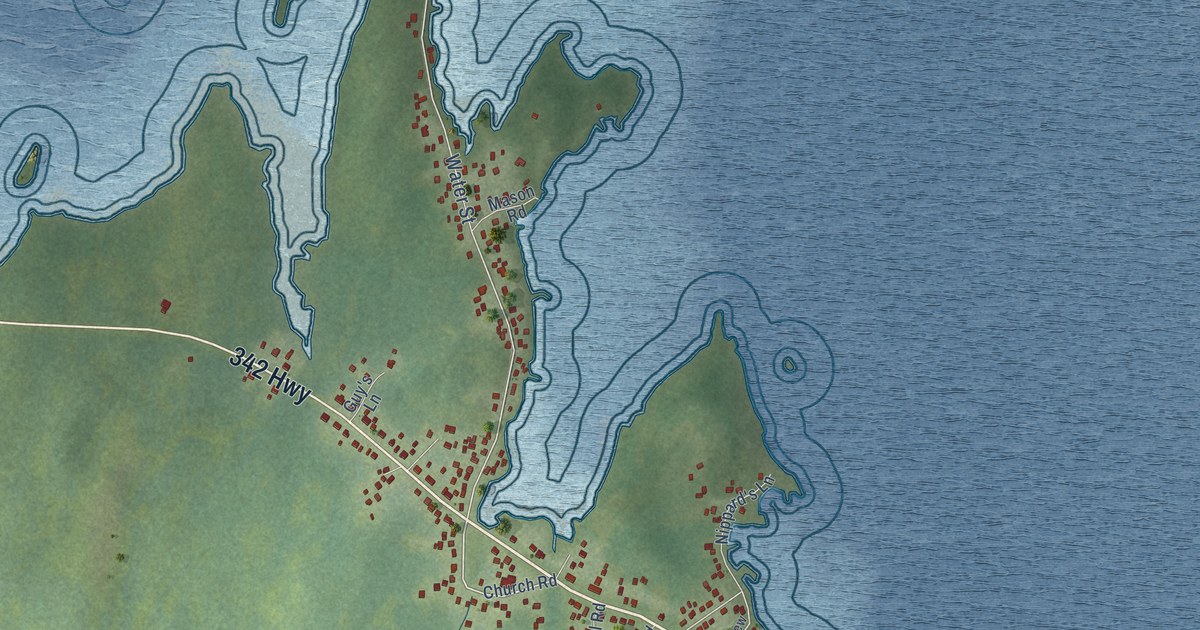
A detailed map of Embree, Newfoundland and Labrador, showing every building in its true location, the roads by name, and shaded topographical relief.
Read More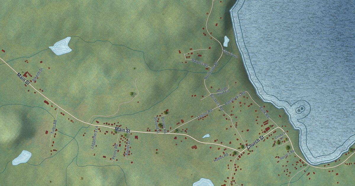
A detailed map of Eastport, Newfoundland and Labrador, showing every building in its true location, the roads by name, and shaded topographical relief.
Read More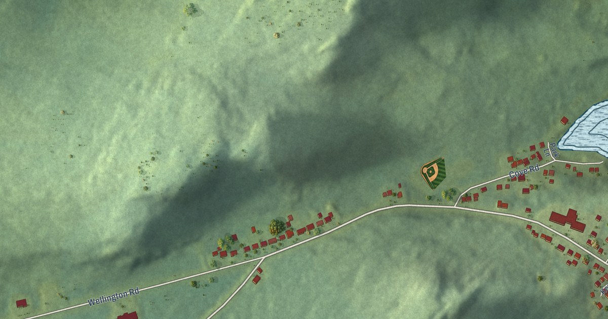
A detailed map of Dover, Newfoundland and Labrador, showing every building in its true location, the roads by name, and shaded topographical relief.
Read More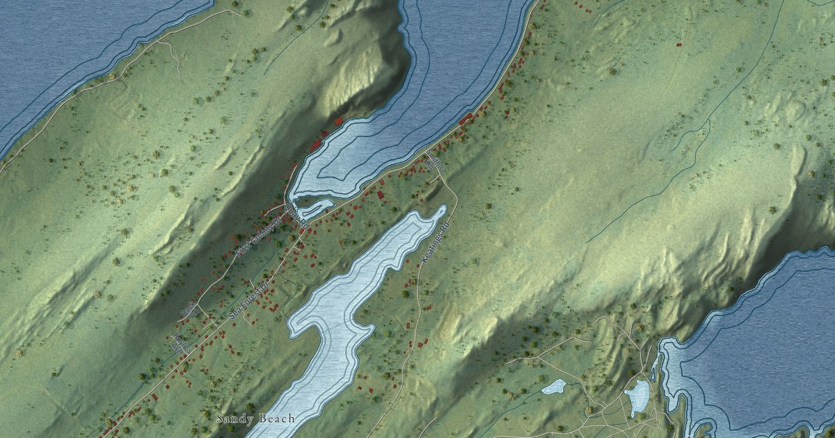
A detailed map of Cupids, Newfoundland and Labrador, showing every building in its true location, the roads by name, and shaded topographical relief.
Read More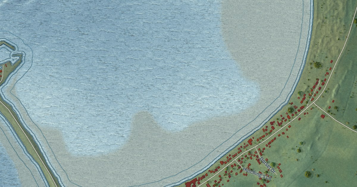
A detailed map of Cow Head, Newfoundland and Labrador, showing every building in its true location, the roads by name, and shaded topographical relief.
Read More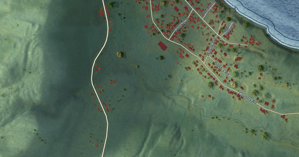
A detailed map of Cox’s Cove, Newfoundland and Labrador, showing every building in its true location, the roads by name, and shaded topographical relief.
Read More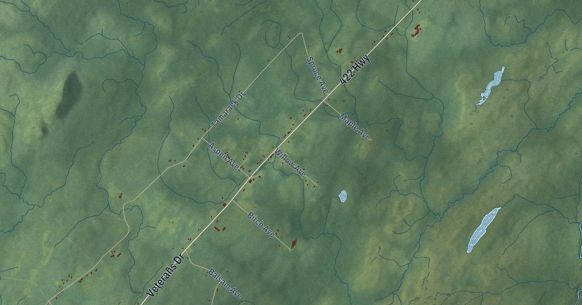
A detailed map of Cormack, Newfoundland and Labrador, showing every building in its true location, the roads by name, and shaded topographical relief.
Read More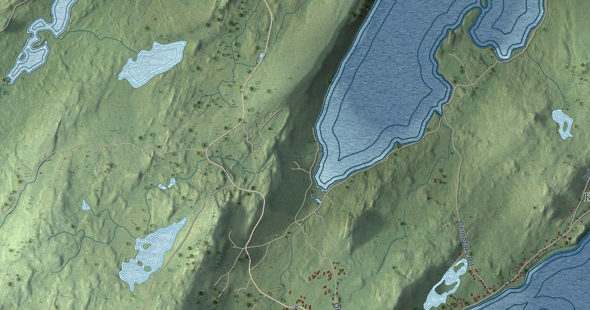
A detailed map of Conception Harbour, Newfoundland and Labrador, showing every building in its true location, the roads by name, and shaded topographical relief.
Read More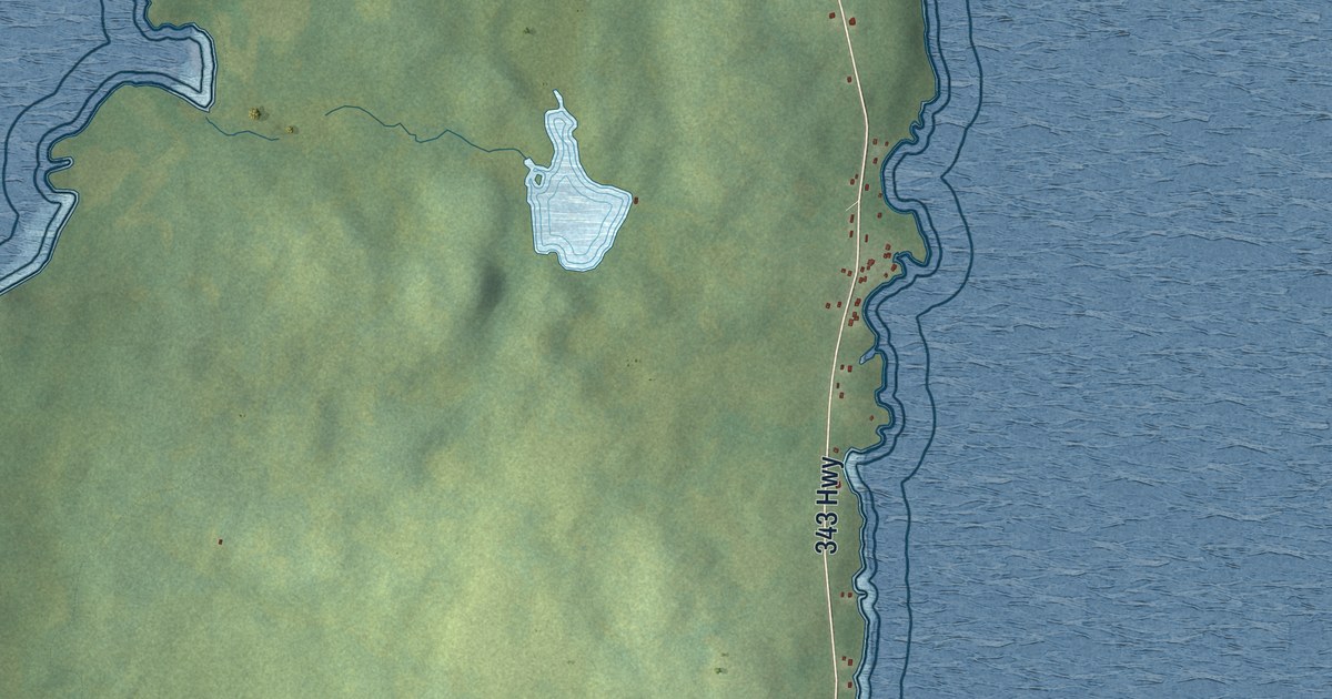
A detailed map of Comfort Cove-Newstead, Newfoundland and Labrador, showing every building in its true location, the roads by name, and shaded topographical relief.
Read More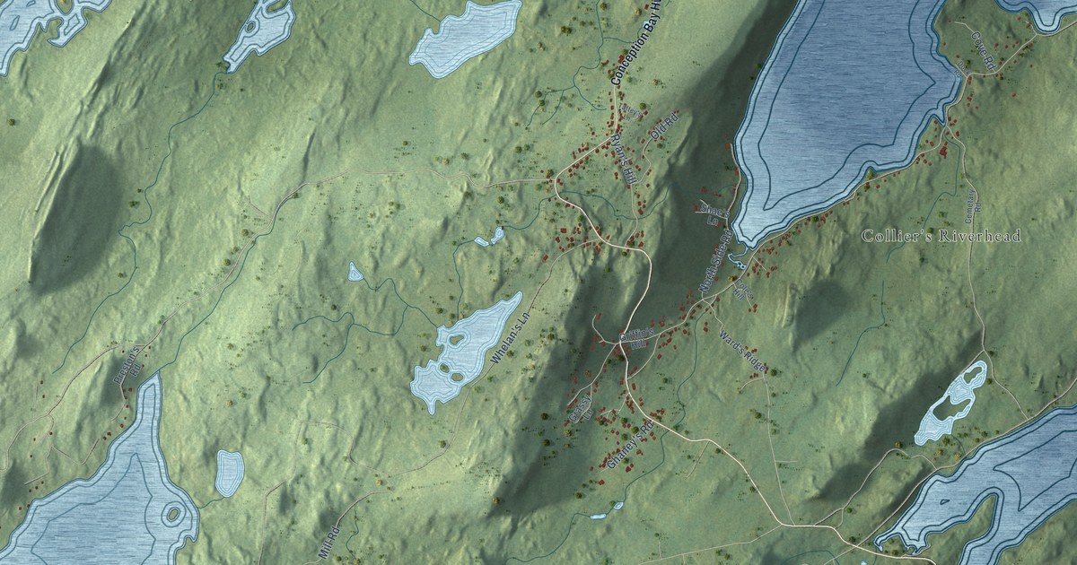
A detailed map of Colliers, Newfoundland and Labrador, showing every building in its true location, the roads by name, and shaded topographical relief.
Read More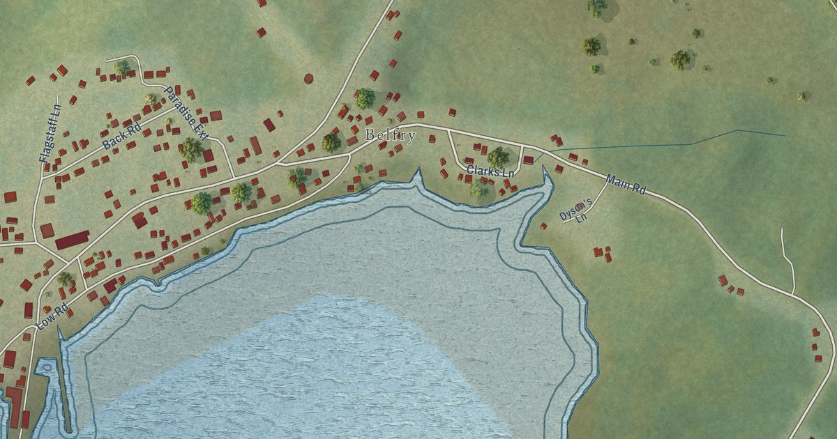
A detailed map of Cartwright, Newfoundland and Labrador, showing every building in its true location, the roads by name, and shaded topographical relief.
Read More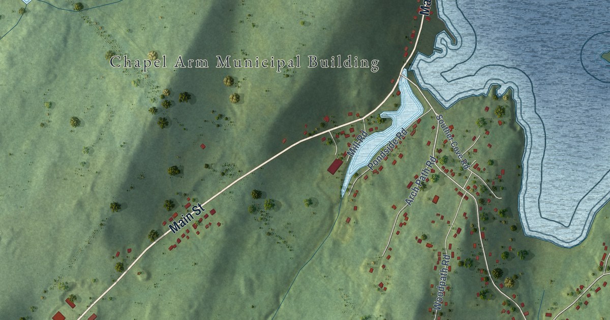
A detailed map of Chapel Arm, Newfoundland and Labrador, showing every building in its true location, the roads by name, and shaded topographical relief.
Read More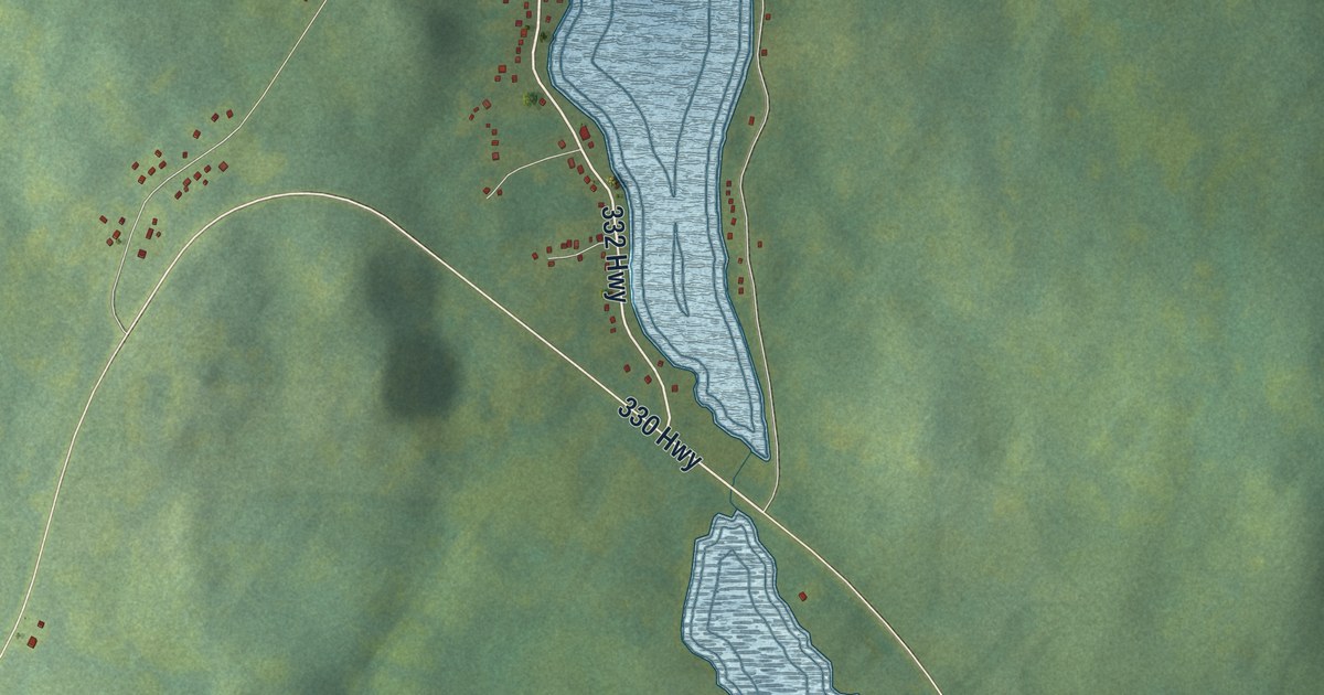
A detailed map of Carmanville, Newfoundland and Labrador, showing every building in its true location, the roads by name, and shaded topographical relief.
Read More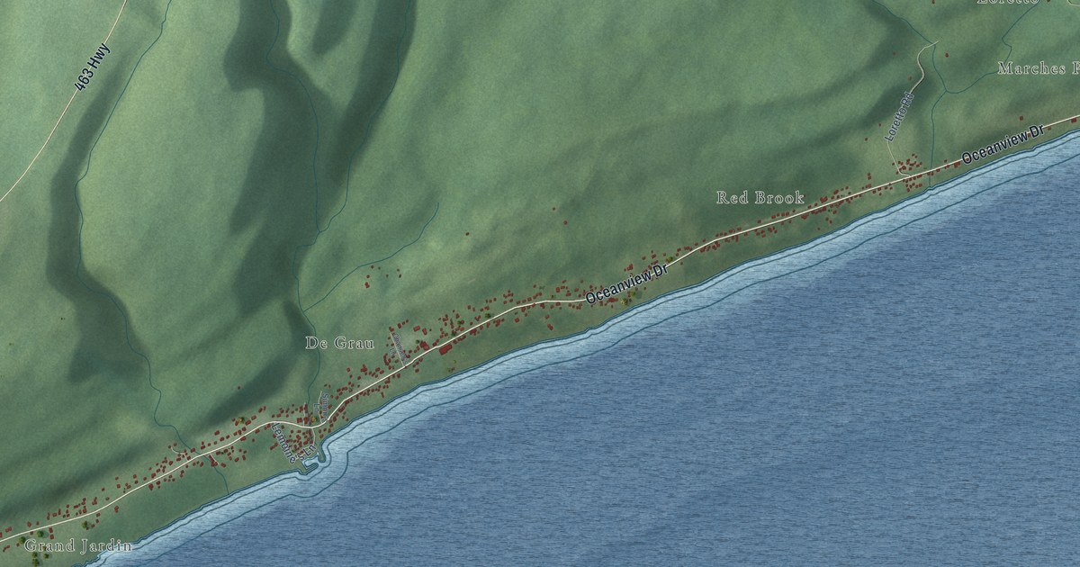
A detailed map of Cape St. George, Newfoundland and Labrador, showing every building in its true location, the roads by name, and shaded topographical relief.
Read More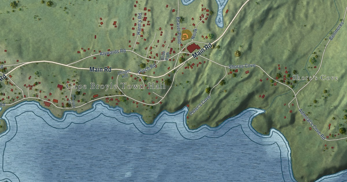
A detailed map of Cape Broyle, Newfoundland and Labrador, showing every building in its true location, the roads by name, and shaded topographical relief.
Read More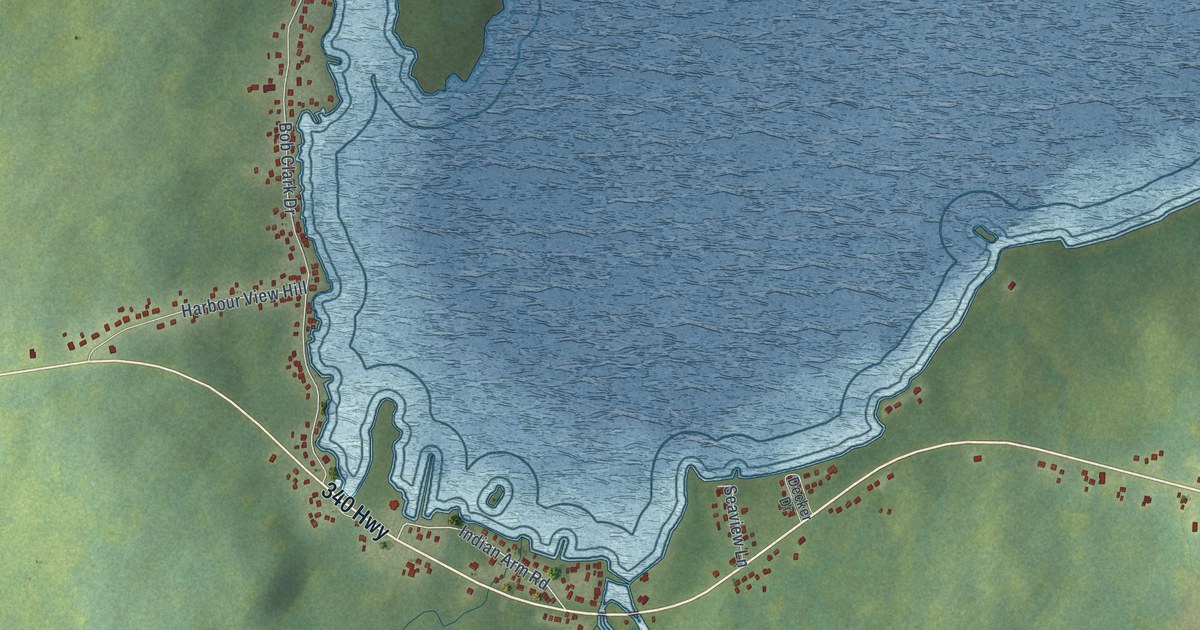
A detailed map of Campbellton, Newfoundland and Labrador, showing every building in its true location, the roads by name, and shaded topographical relief.
Read More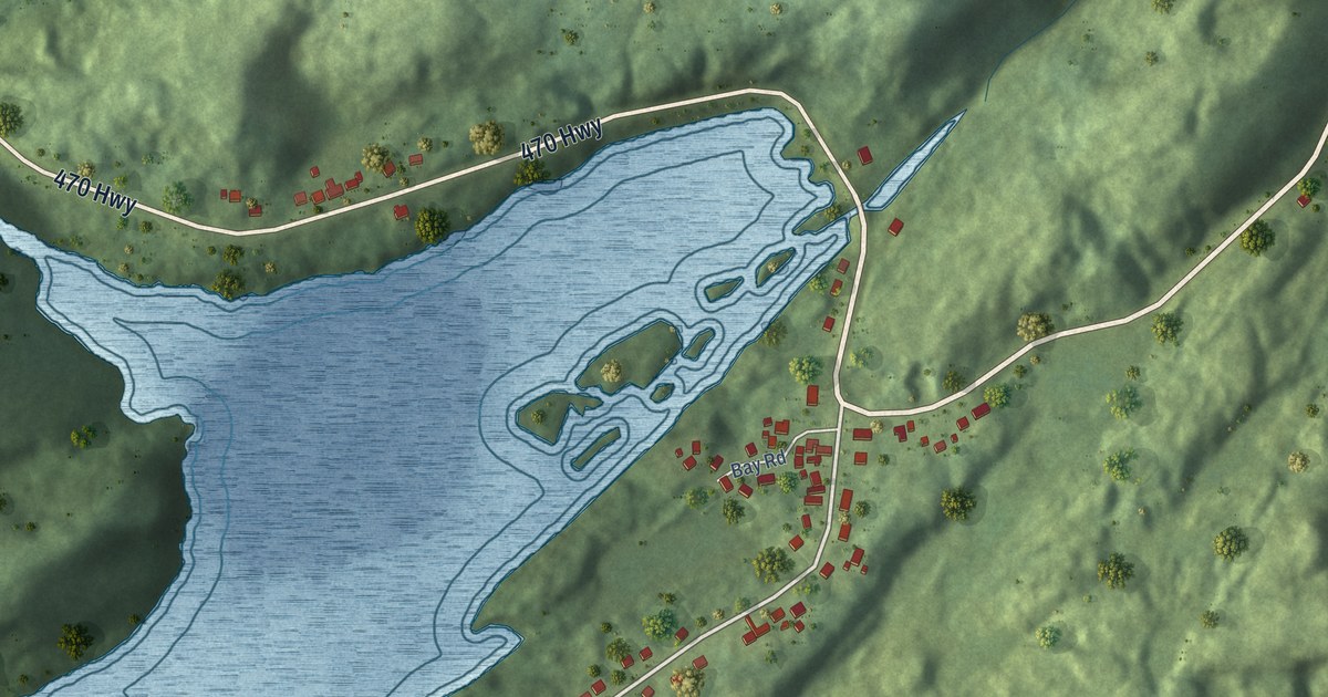
A detailed map of Burnt Islands, Newfoundland and Labrador, showing every building in its true location, the roads by name, and shaded topographical relief.
Read More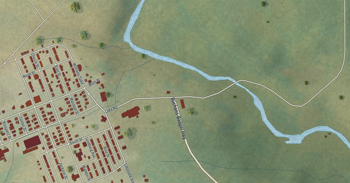
A detailed map of Buchans, Newfoundland and Labrador, showing every building in its true location, the roads by name, and shaded topographical relief.
Read More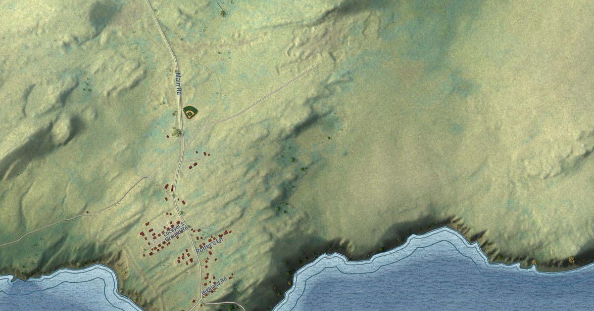
A detailed map of Bay de Verde, Newfoundland and Labrador, showing every building in its true location, the roads by name, and shaded topographical relief.
Read More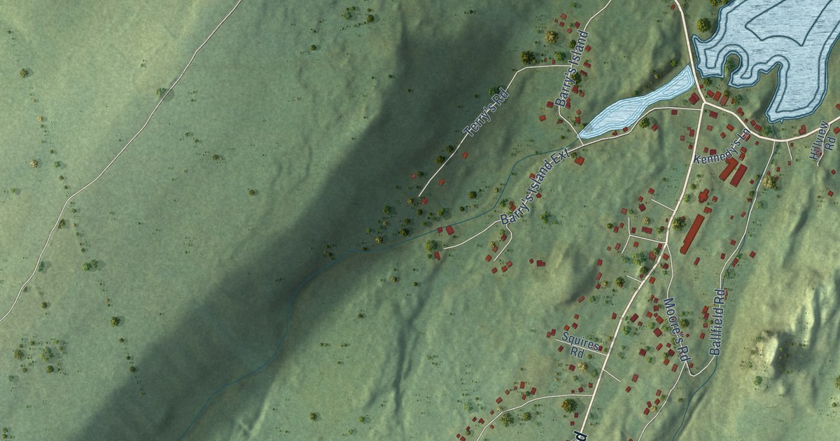
A detailed map of Avondale, Newfoundland and Labrador, showing every building in its true location, the roads by name, and shaded topographical relief.
Read More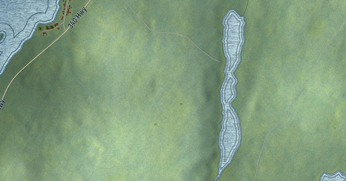
A detailed map of Birchy Bay, Newfoundland and Labrador, showing every building in its true location, the roads by name, and shaded topographical relief.
Read More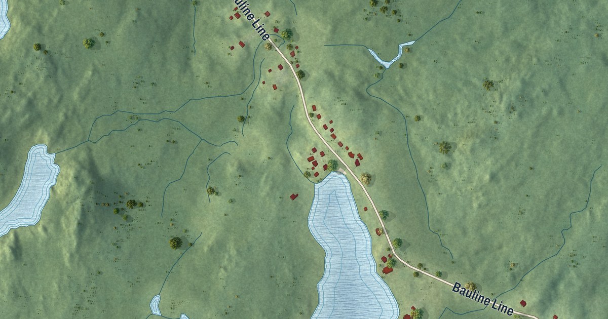
A detailed map of Bauline, Newfoundland and Labrador, showing every building in its true location, the roads by name, and shaded topographical relief.
Read More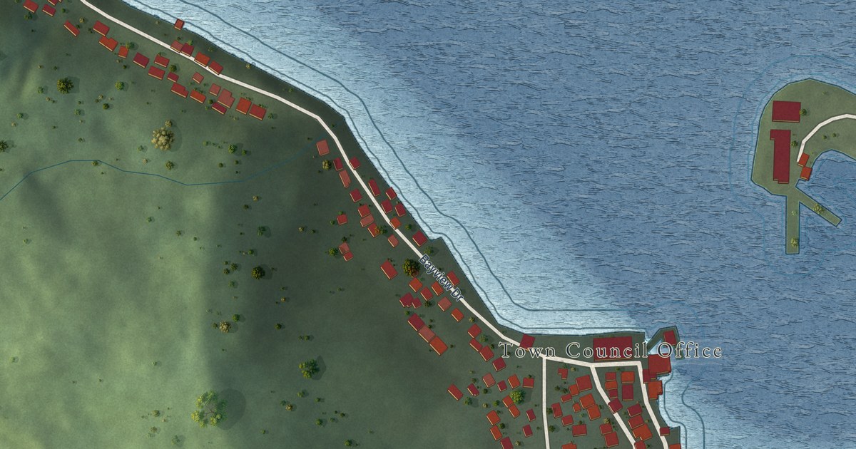
A detailed map of Belleoram, Newfoundland and Labrador, showing every building in its true location, the roads by name, and shaded topographical relief.
Read More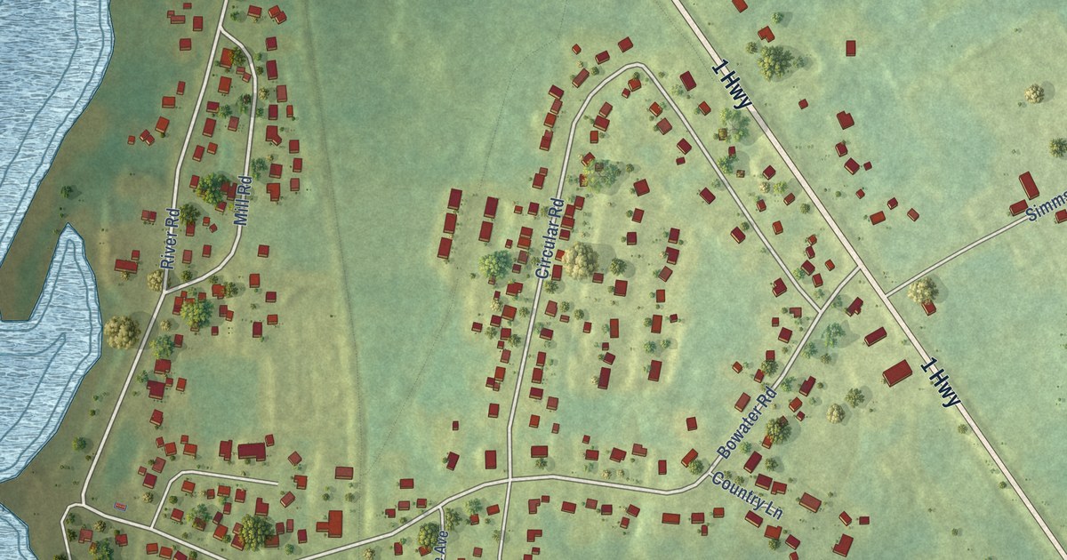
A detailed map of Appleton, Newfoundland and Labrador, showing every building in its true location, the roads by name, and shaded topographical relief.
Read More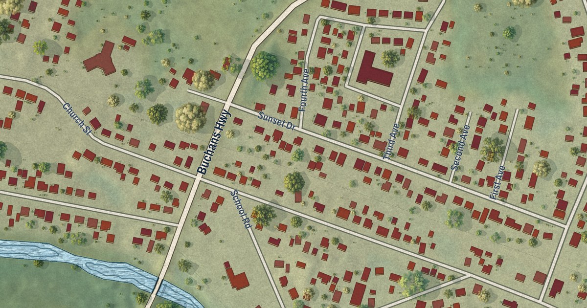
A detailed map of Badger, Newfoundland and Labrador, showing every building in its true location, the roads by name, and shaded topographical relief.
Read More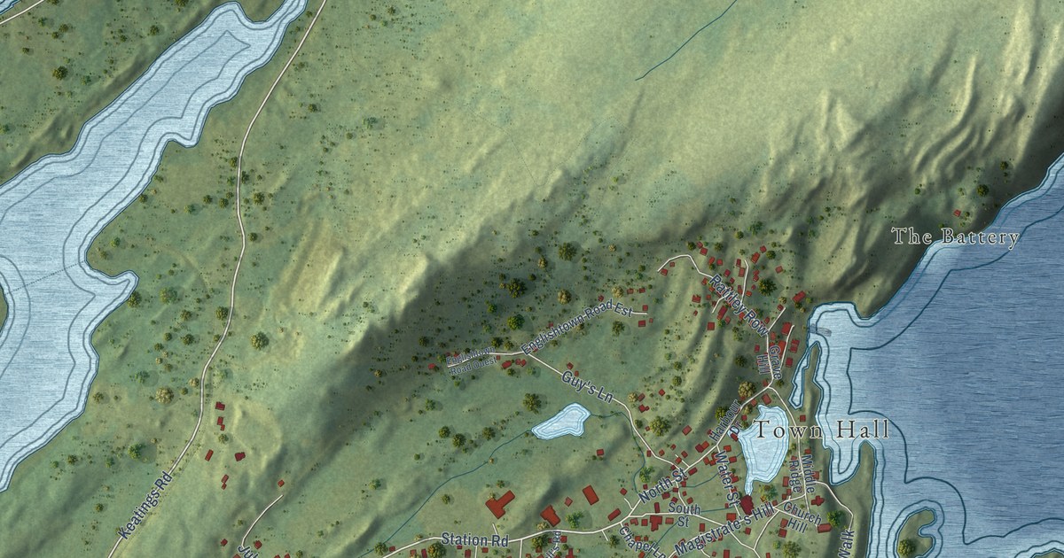
A detailed map of Brigus, Newfoundland and Labrador, showing every building in its true location, the roads by name, and shaded topographical relief.
Read More
In the 1920s, farmers in Hope, Arkansas, weighed their melons every day, grew one of 152 pounds, and threw a festival that drew 25,000 people.
Read More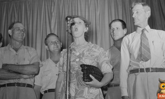
In 1926 Fred Patzel, a farmer from Madison, Nebraska, won the first world’s hog calling championship in Omaha with his famous “pooie” call.
Read More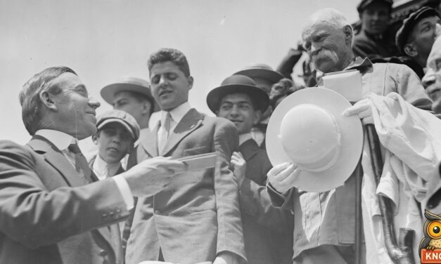
In 1910 a famous 70-year-old walker came through La Junta, Colorado, on his way from Los Angeles to New York. Three local men tried to keep up.
Read More
In 1909 a girl called Tiny Broadwick jumped from a hot-air balloon at the fair in Waterville, Maine. One ride ended in the phone wires.
Read More
In 1909 a blindfolded mind reader drove through Dawson, Georgia, found a hidden post office key and delivered a secret letter. Here’s how the trick worked.
Read More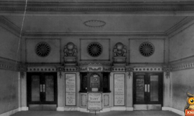
In 1908 a movie in Columbia, Missouri, cost a nickel. College students even took roll call at the show. See what was on the screen.
Read More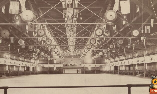
In 1905 roller skating took over Grand Junction, Colorado: two rinks, couples’ nights, a masked carnival with prizes and a race on election night.
Read More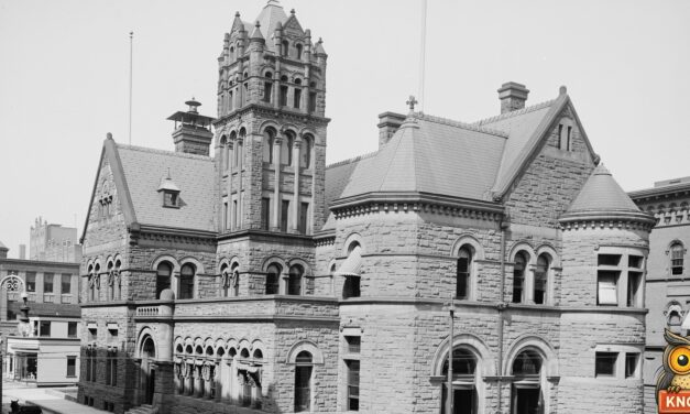
In 1905 picture postcards flooded Springfield, Massachusetts. One woman got 85 in a single mail, and 100 a day were mailed with no stamp.
Read More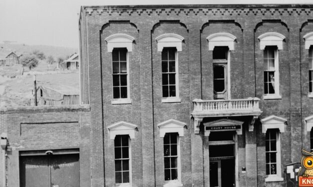
In July 1922 a radio car on a cross-country tour parked on Main Street in Eureka, Nevada. The whole town came out to hear music from California.
Read More
On Christmas Day, 1905, Omaha’s newsboys got a feast for 150, chipped in their own pennies for presents, and made two theater men honorary newsboys.
Read More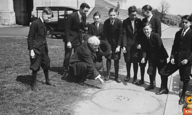
In 1926, 10-year-old Dominic Cartelli won New Britain’s marble title at 10 to 1 odds, then went to the national tournament in Atlantic City.
Read More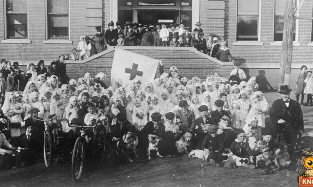
In 1925, Boy Scouts in Montgomery, Alabama, held the city’s first pet show. More than 400 animals came. First prize went to a honey bee.
Read More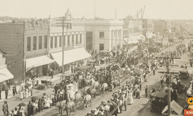
In 1905, kids carried water to circus elephants to earn a ticket. In Minneapolis, two businessmen did it for fun, and fifty boys made them pay.
Read More
In 1911, 1,800 kids in Washington, D.C., raced to kill flies for prizes. A 13-year-old won with 343,800, counted with a measuring cup.
Read More
A detailed map of Woodstock Parish, New Brunswick, showing every building in its true location, the roads by name, and shaded topographical relief.
Read More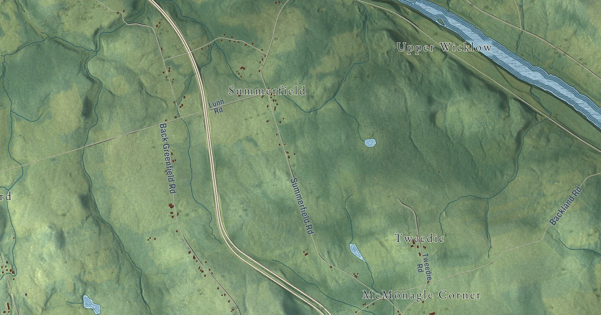
A detailed map of Wicklow Parish, New Brunswick, showing every building in its true location, the roads by name, and shaded topographical relief.
Read More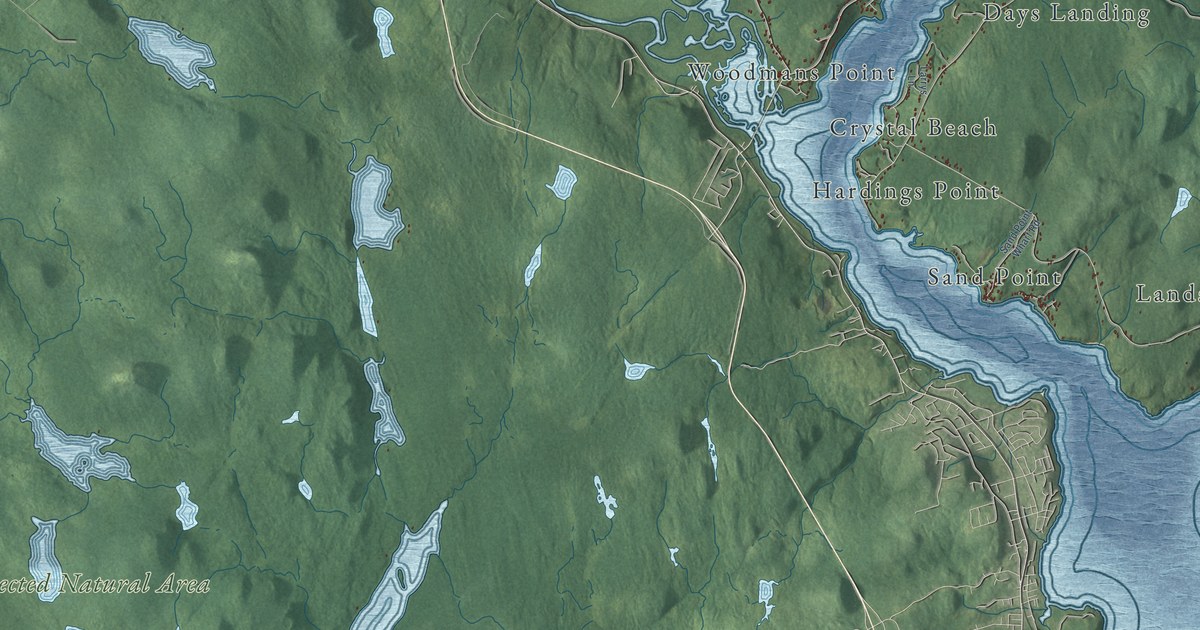
A detailed map of Westfield Parish, New Brunswick, showing every building in its true location, the roads by name, and shaded topographical relief.
Read More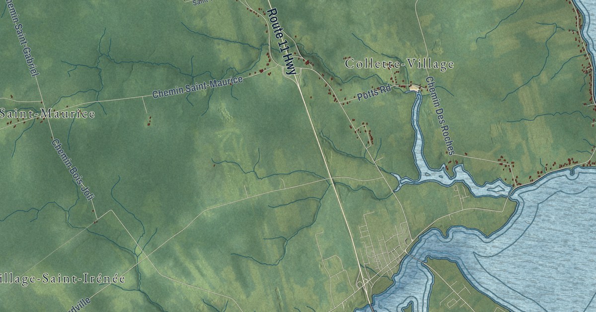
A detailed map of Wellington Parish, New Brunswick, showing every building in its true location, the roads by name, and shaded topographical relief.
Read More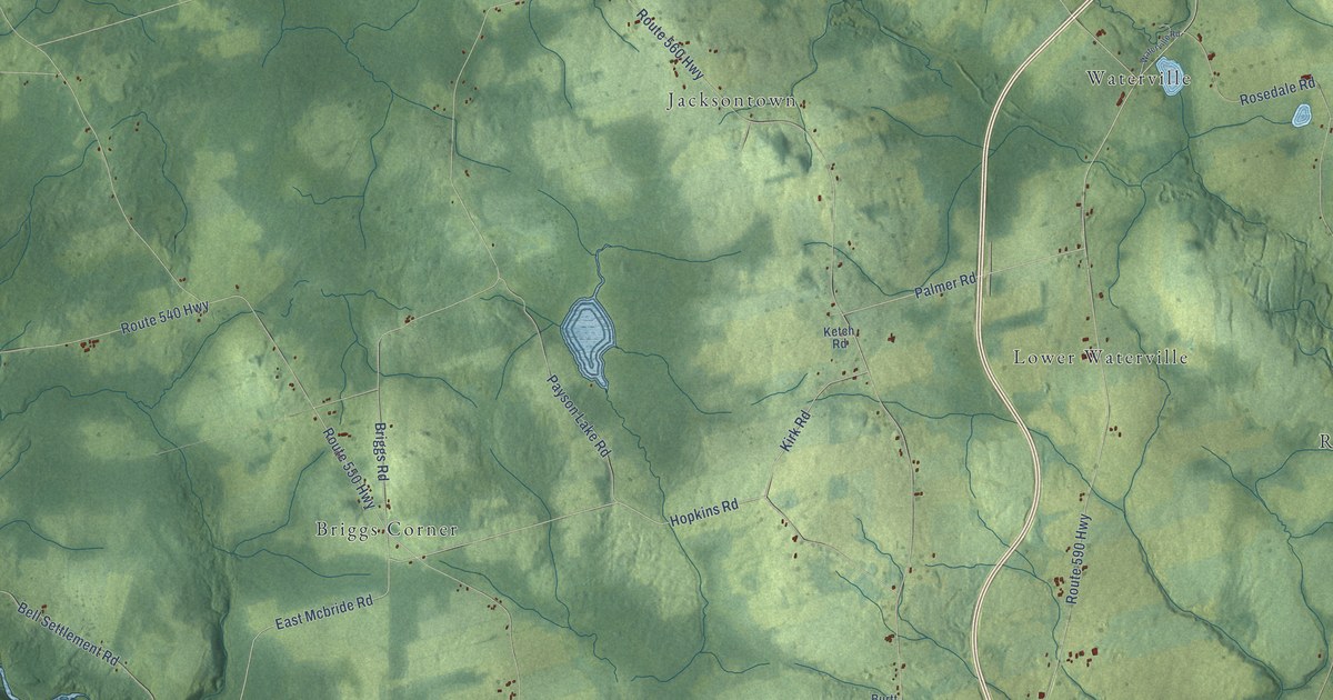
A detailed map of Wakefield Parish, New Brunswick, showing every building in its true location, the roads by name, and shaded topographical relief.
Read More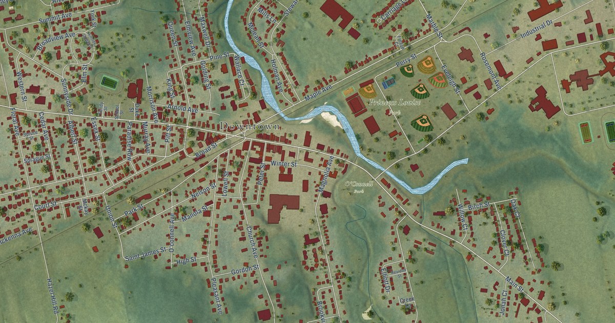
A detailed map of Sussex, New Brunswick, showing every building in its true location, the roads by name, and shaded topographical relief.
Read More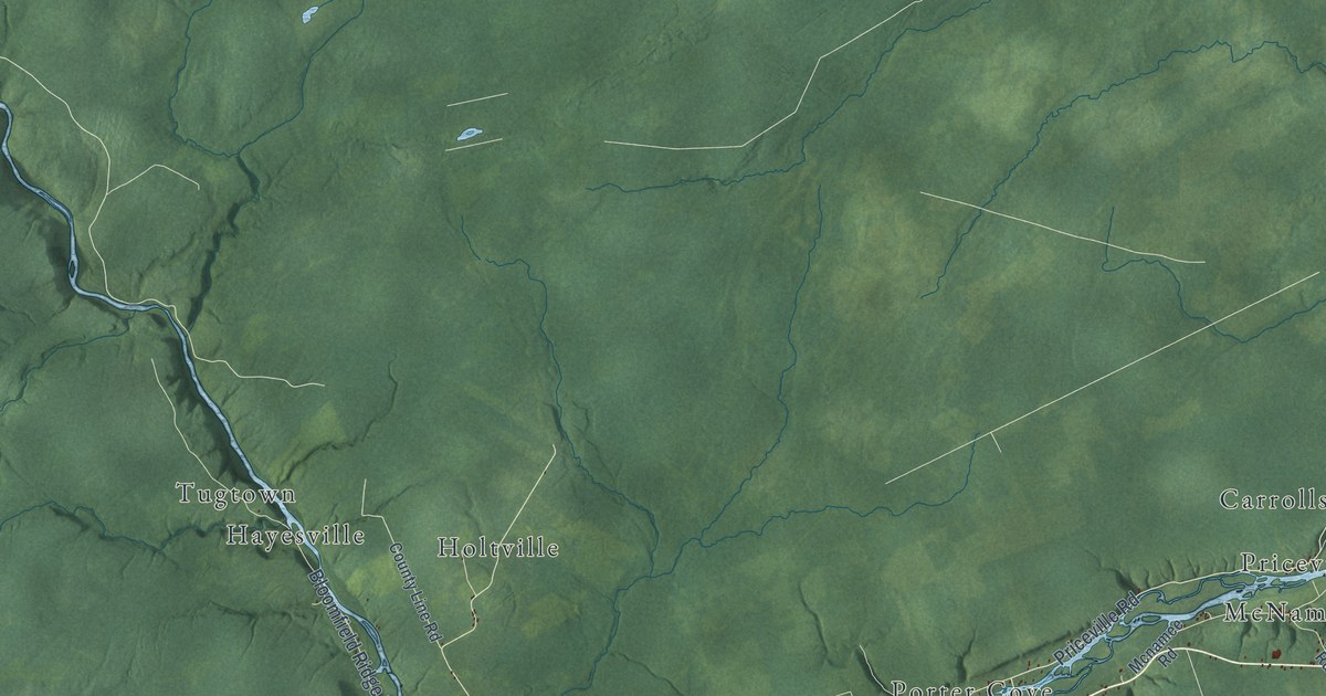
A detailed map of Upper Miramichi, New Brunswick, showing every building in its true location, the roads by name, and shaded topographical relief.
Read More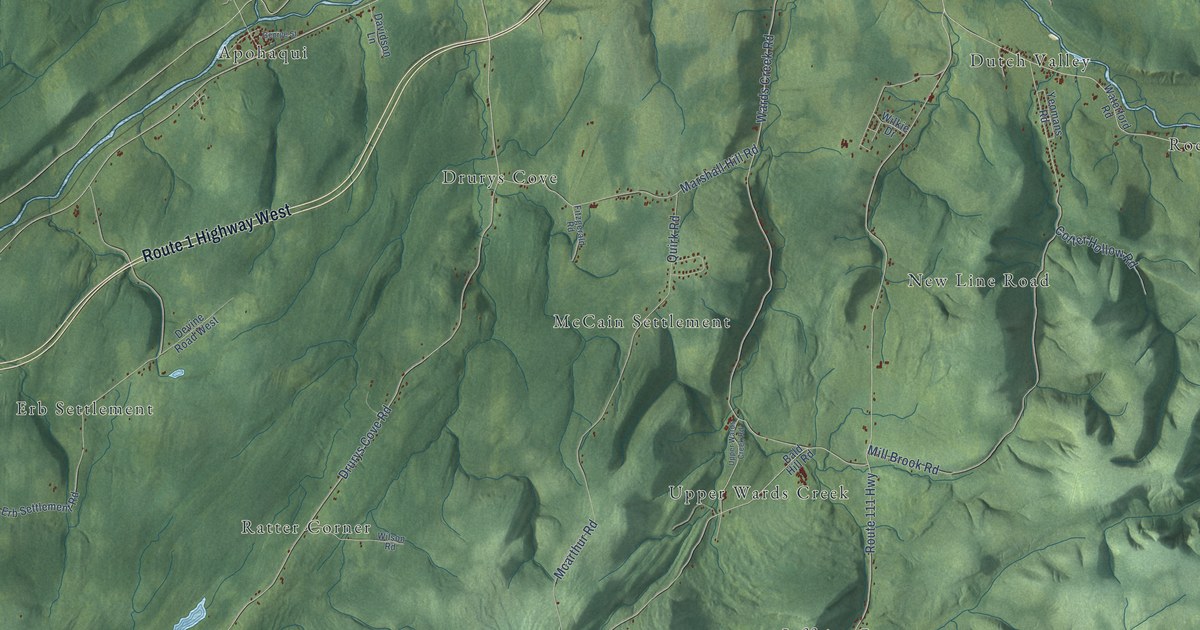
A detailed map of Sussex Parish, New Brunswick, showing every building in its true location, the roads by name, and shaded topographical relief.
Read More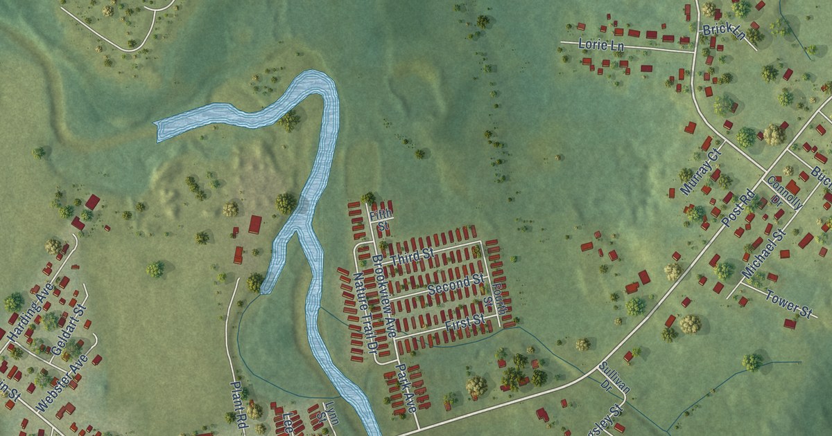
A detailed map of Sussex Corner, New Brunswick, showing every building in its true location, the roads by name, and shaded topographical relief.
Read More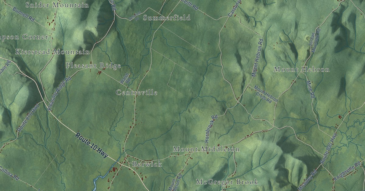
A detailed map of Studholm Parish, New Brunswick, showing every building in its true location, the roads by name, and shaded topographical relief.
Read More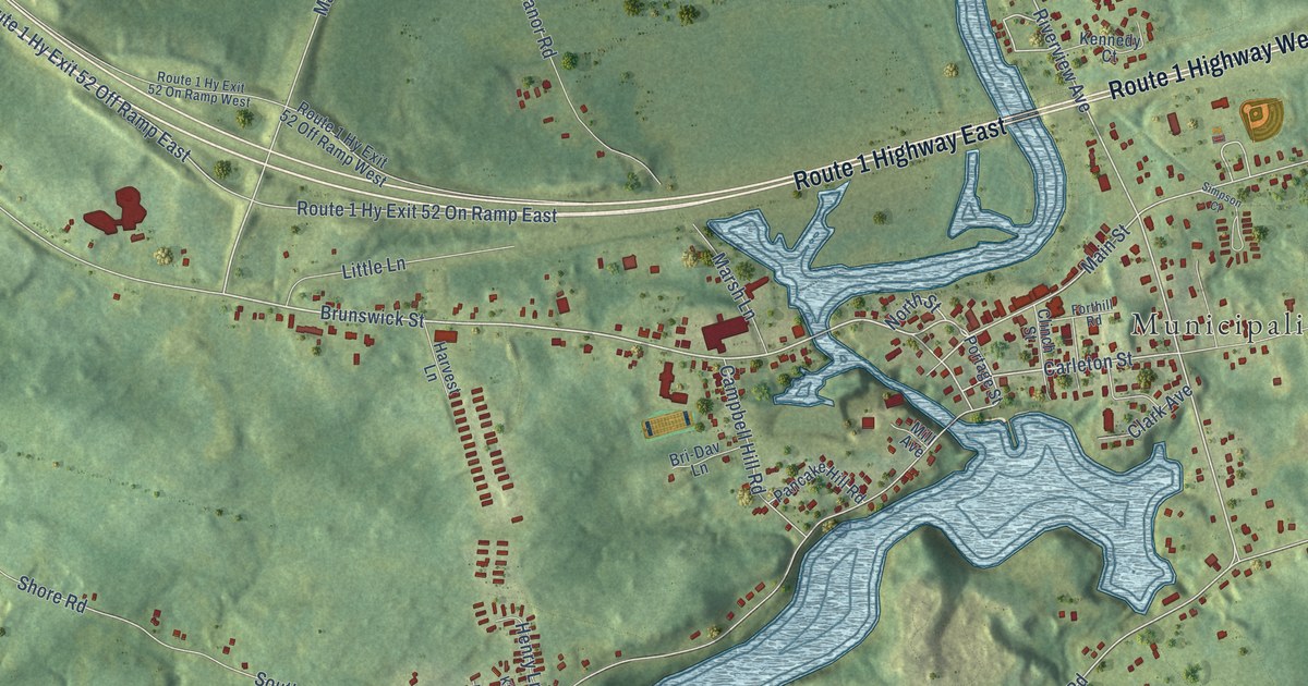
A detailed map of St. George, New Brunswick, showing every building in its true location, the roads by name, and shaded topographical relief.
Read More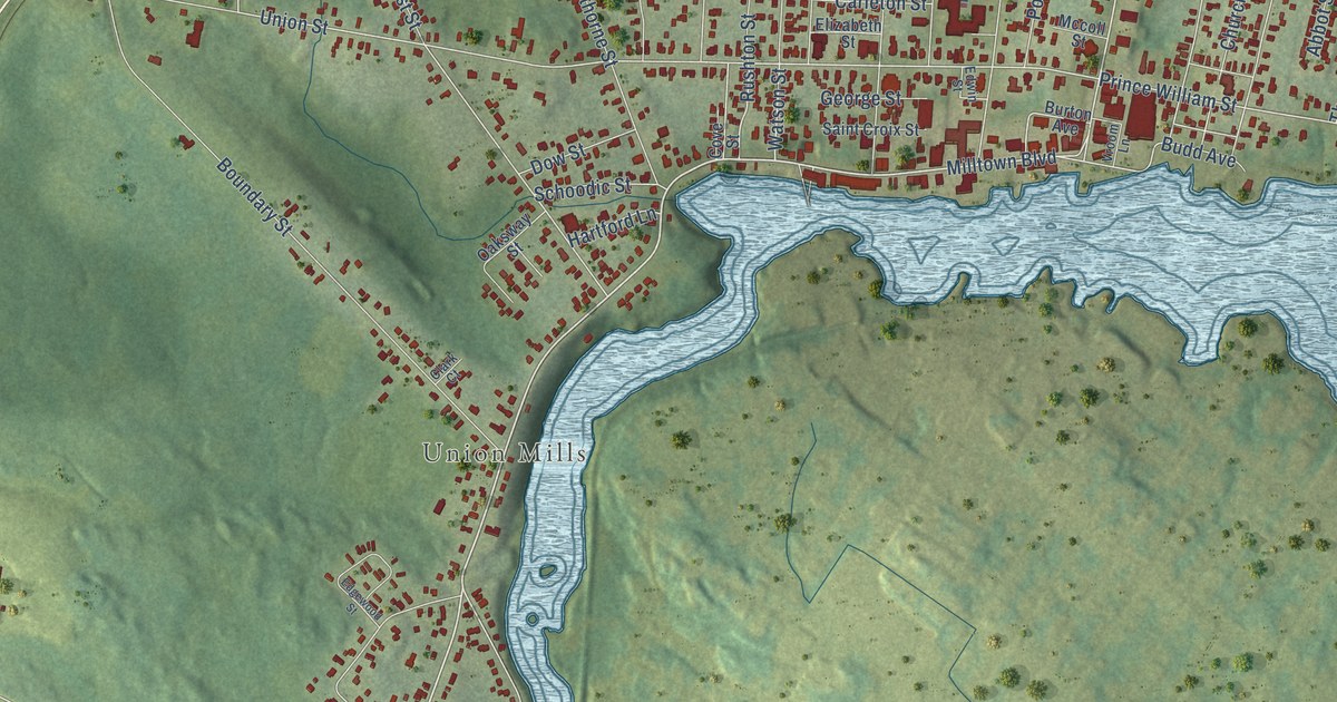
A detailed map of St. Stephen, New Brunswick, showing every building in its true location, the roads by name, and shaded topographical relief.
Read More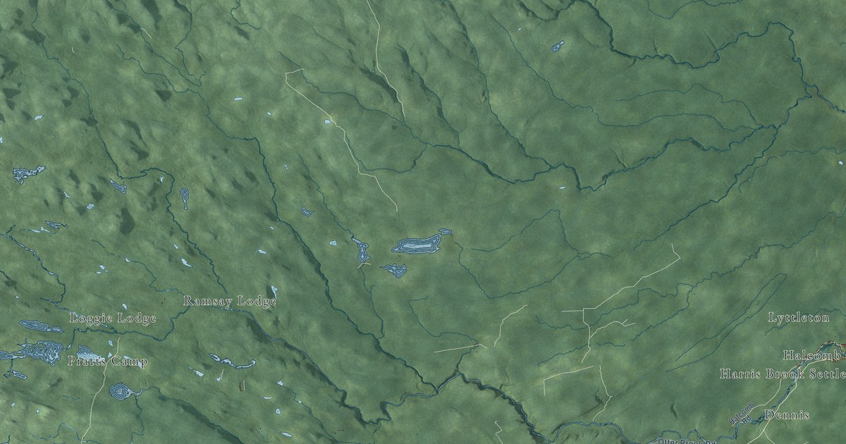
A detailed map of Southesk Parish, New Brunswick, showing every building in its true location, the roads by name, and shaded topographical relief.
Read More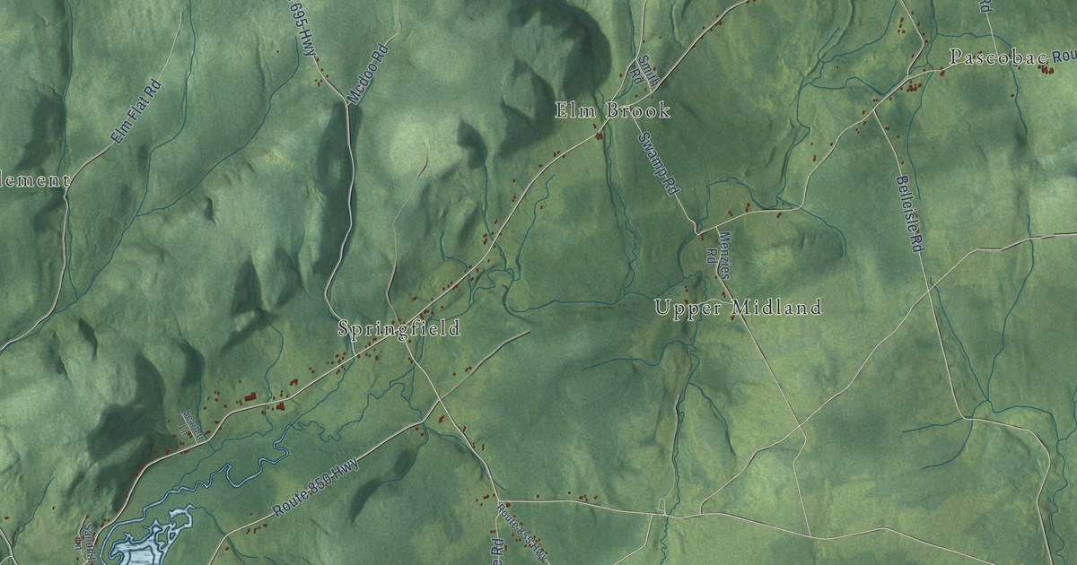
A detailed map of Springfield Parish, New Brunswick, showing every building in its true location, the roads by name, and shaded topographical relief.
Read More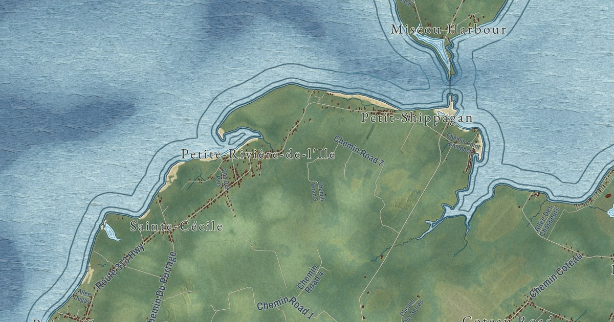
A detailed map of Shippagan Parish, New Brunswick, showing every building in its true location, the roads by name, and shaded topographical relief.
Read More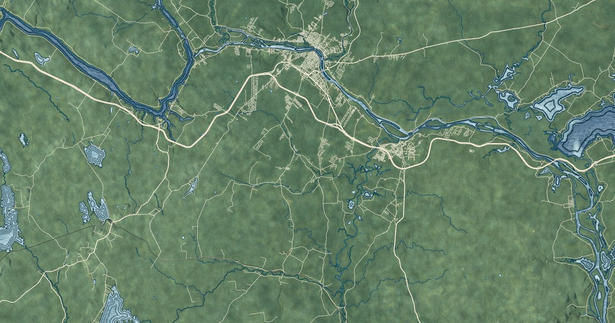
A detailed map of Simonds Parish, New Brunswick, showing every building in its true location, the roads by name, and shaded topographical relief.
Read More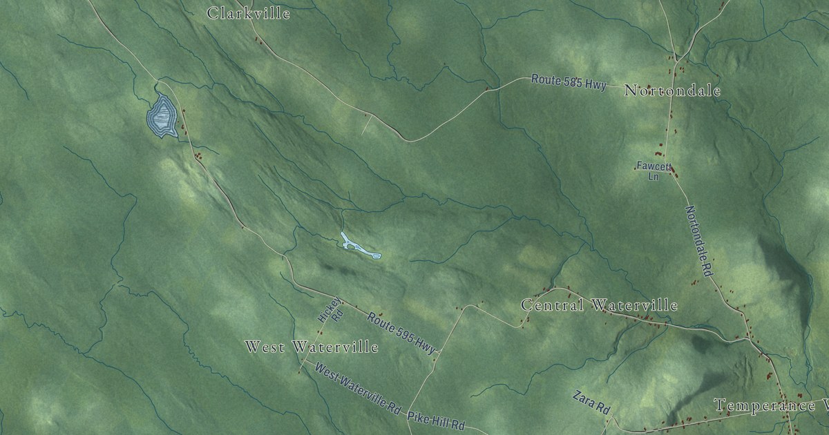
A detailed map of Southampton Parish, New Brunswick, showing every building in its true location, the roads by name, and shaded topographical relief.
Read More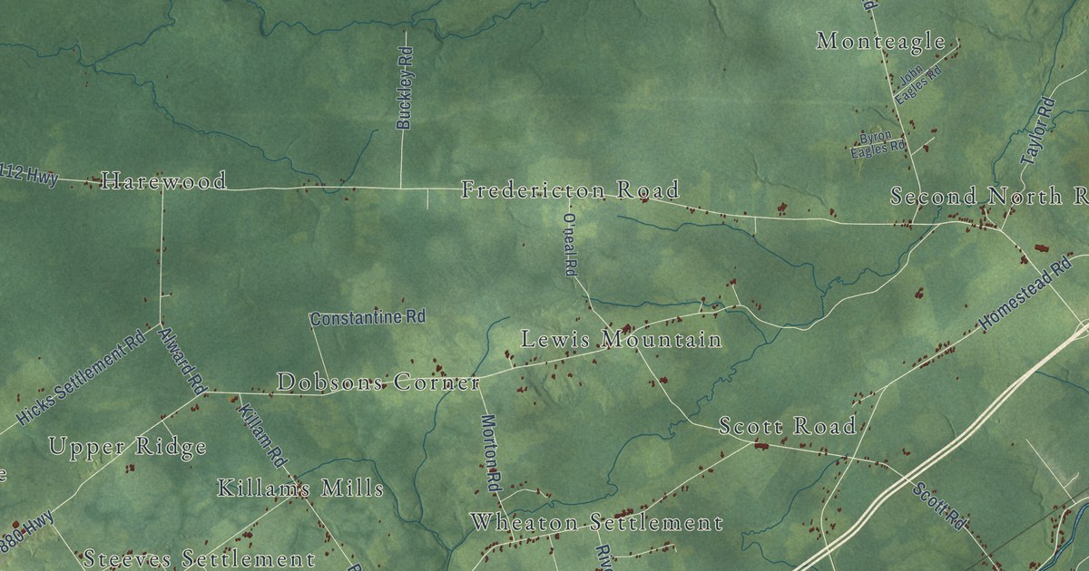
A detailed map of Salisbury Parish, New Brunswick, showing every building in its true location, the roads by name, and shaded topographical relief.
Read More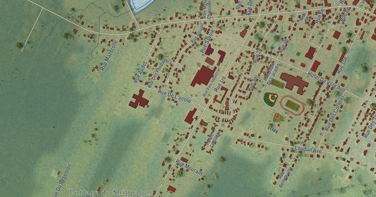
A detailed map of Shippagan, New Brunswick, showing every building in its true location, the roads by name, and shaded topographical relief.
Read More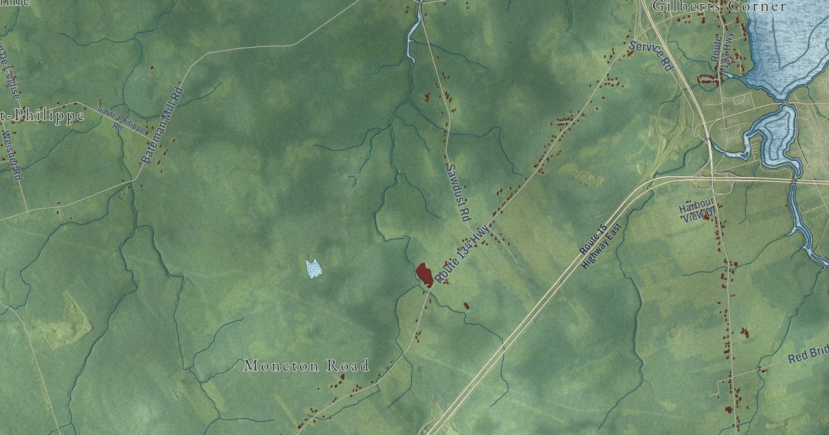
A detailed map of Shediac Parish, New Brunswick, showing every building in its true location, the roads by name, and shaded topographical relief.
Read More
In 1896, trains near Ocala, Florida, blew six long whistle blasts to warn farmers that frost was coming. Here’s how the weather alarm worked.
Read More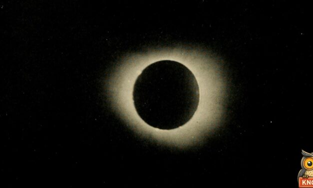
On June 8, 1918, a total eclipse darkened Hood River, Oregon. Stars came out, roosters crowed and a scientist’s moths started laying eggs.
Read More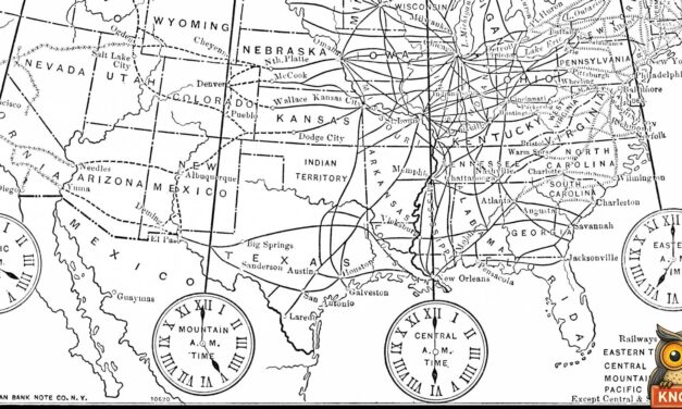
On November 18, 1883, Portland, Maine, stopped its church clocks at noon, waited about 19 minutes for the fire alarm, then struck twelve again.
Read More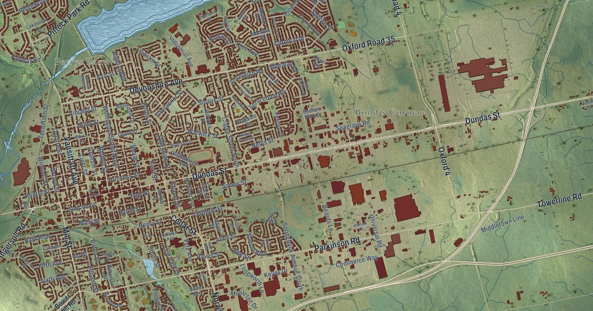
A detailed map of Woodstock, Ontario, showing every building in its true location, the roads by name, and shaded topographical relief.
Read More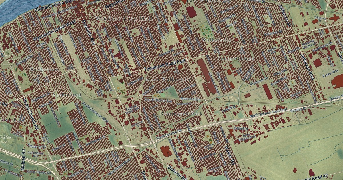
A detailed map of Windsor, Ontario, showing every building in its true location, the roads by name, and shaded topographical relief.
Read More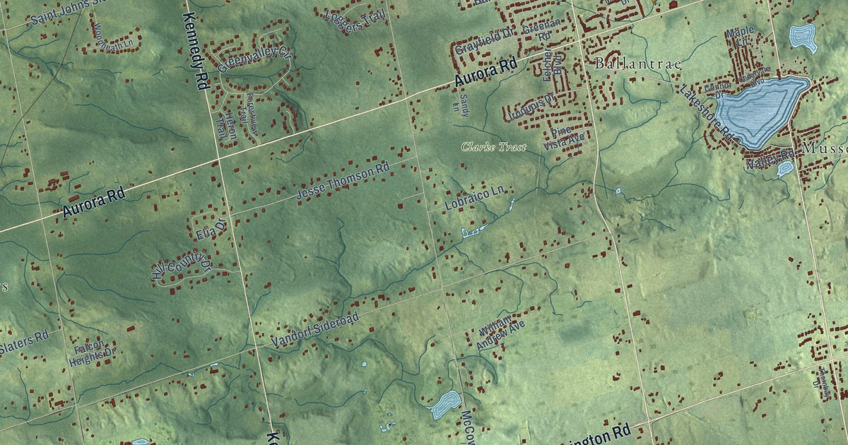
A detailed map of Whitchurch-Stouffville, Ontario, showing every building in its true location, the roads by name, and shaded topographical relief.
Read More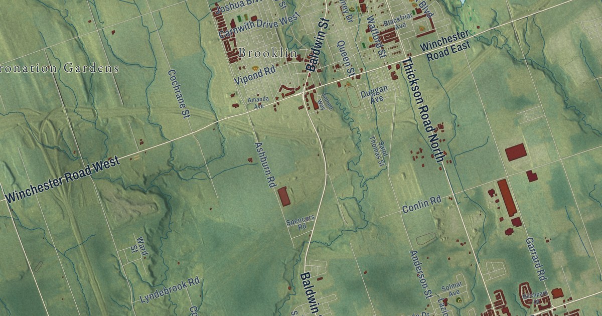
A detailed map of Whitby, Ontario, showing every building in its true location, the roads by name, and shaded topographical relief.
Read More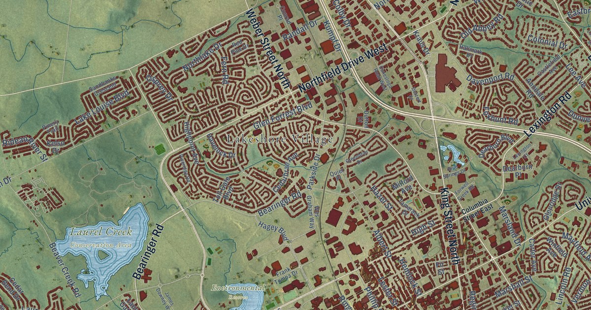
A detailed map of Waterloo, Ontario, showing every building in its true location, the roads by name, and shaded topographical relief.
Read More















