Detailed Map of Point Blank, Texas
A detailed map of Point Blank, Texas, showing every building in its true location, the roads by name, and shaded topographical relief.
Read More
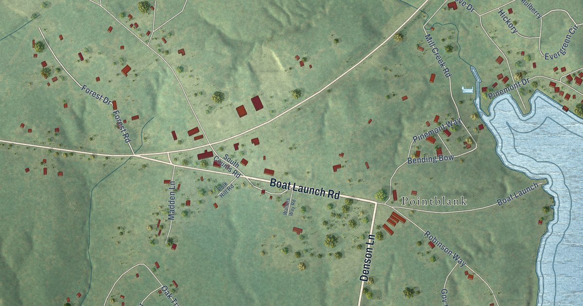
A detailed map of Point Blank, Texas, showing every building in its true location, the roads by name, and shaded topographical relief.
Read More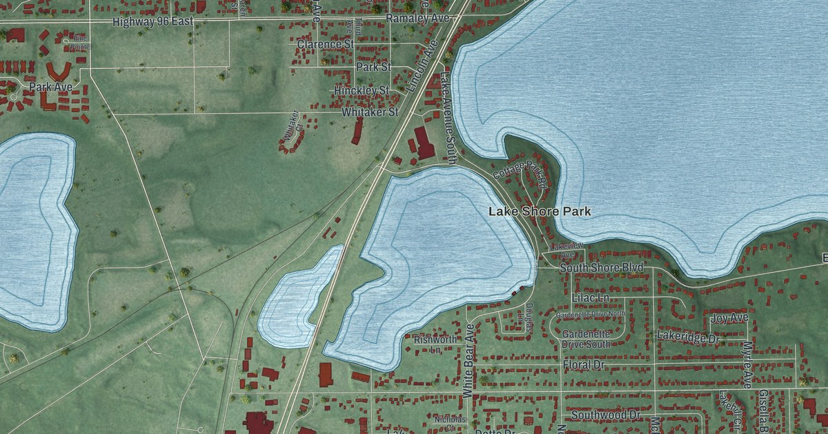
A detailed map of White Bear Lake, Minnesota, showing every building in its true location, the roads by name, and shaded topographical relief.
Read More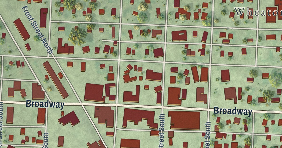
A detailed map of Wheaton, Minnesota, showing every building in its true location, the roads by name, and shaded topographical relief.
Read More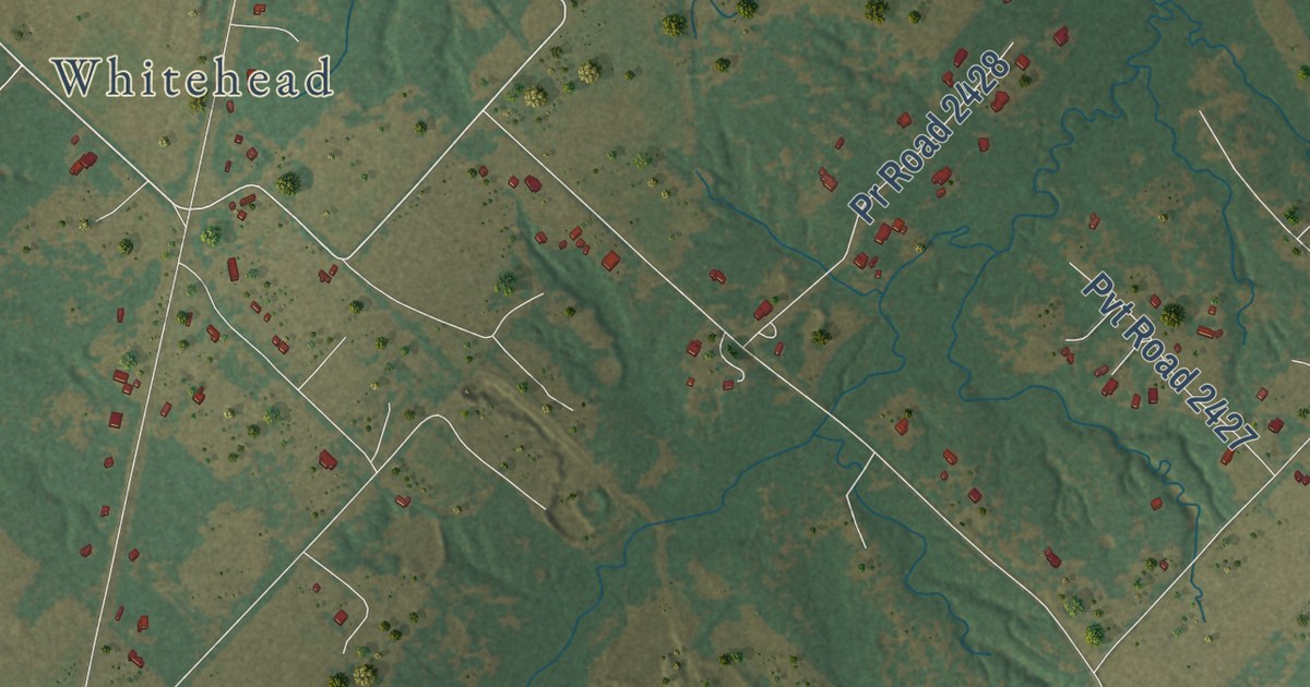
A detailed map of Poetry, Texas, showing every building in its true location, the roads by name, and shaded topographical relief.
Read More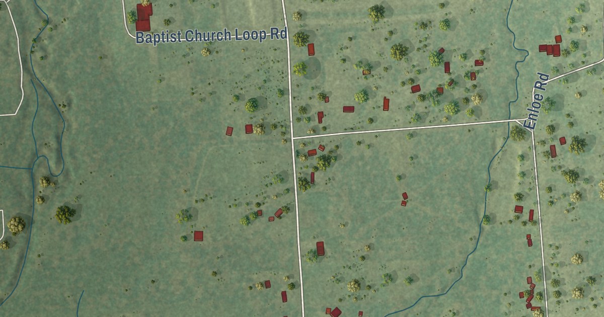
A detailed map of Plum Grove, Texas, showing every building in its true location, the roads by name, and shaded topographical relief.
Read More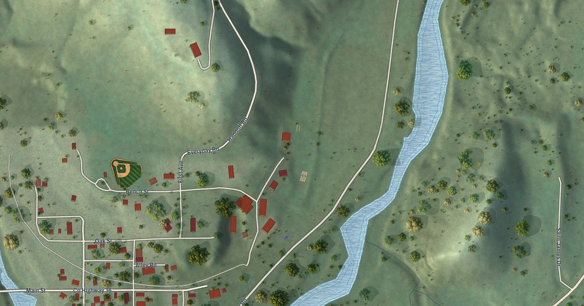
A detailed map of Whalan, Minnesota, showing every building in its true location, the roads by name, and shaded topographical relief.
Read More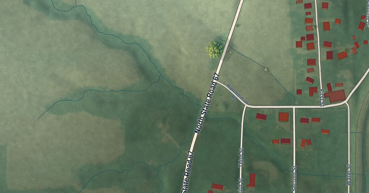
A detailed map of Edwardsport, Indiana, showing every building in its true location, the roads by name, and shaded topographical relief.
Read More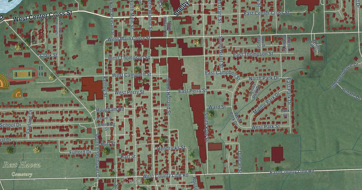
A detailed map of Edinburgh, Indiana, showing every building in its true location, the roads by name, and shaded topographical relief.
Read More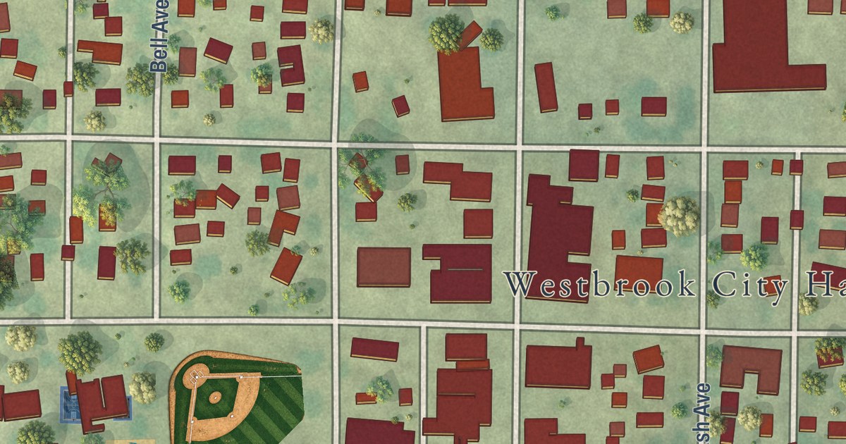
A detailed map of Westbrook, Minnesota, showing every building in its true location, the roads by name, and shaded topographical relief.
Read More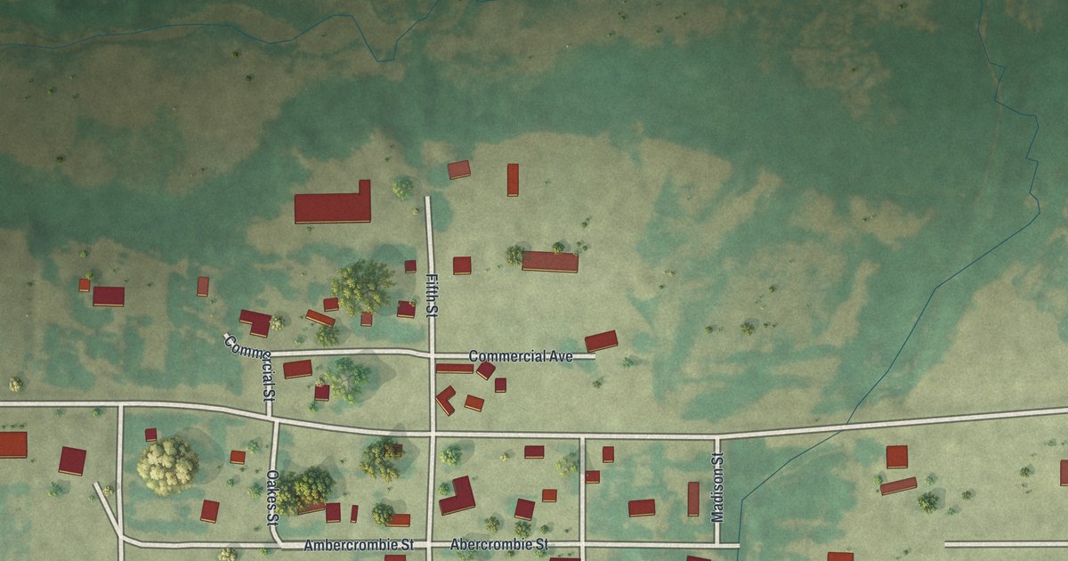
A detailed map of Westport, Minnesota, showing every building in its true location, the roads by name, and shaded topographical relief.
Read More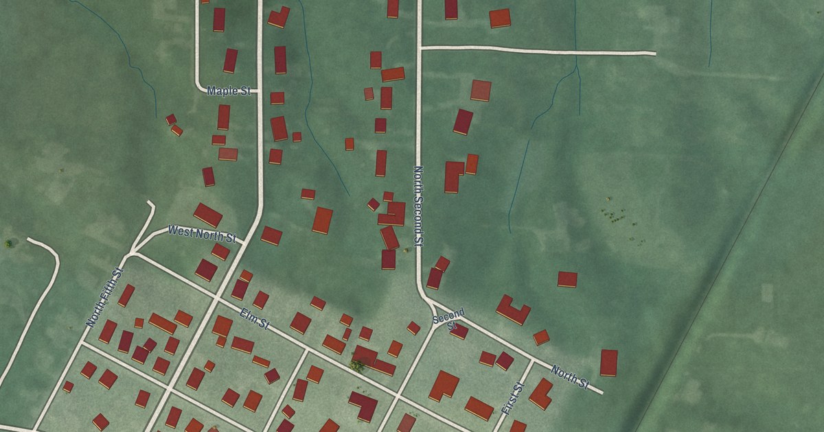
A detailed map of Elberfeld, Indiana, showing every building in its true location, the roads by name, and shaded topographical relief.
Read More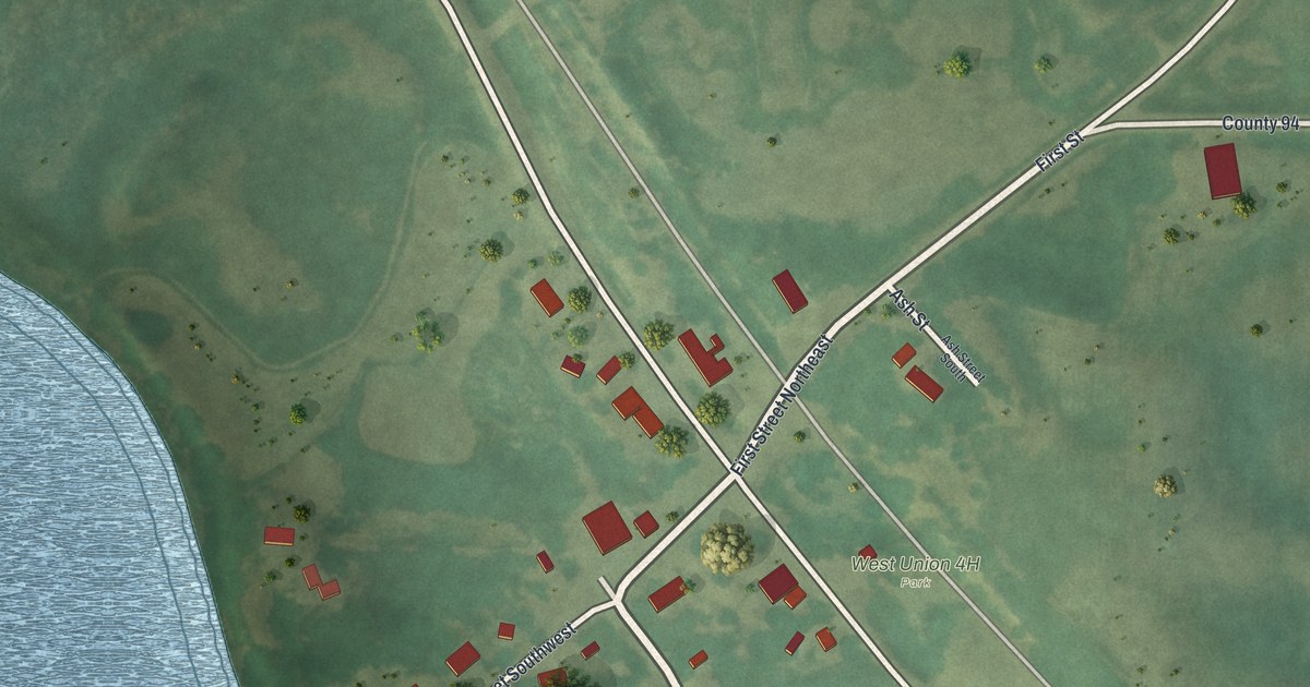
A detailed map of West Union, Minnesota, showing every building in its true location, the roads by name, and shaded topographical relief.
Read More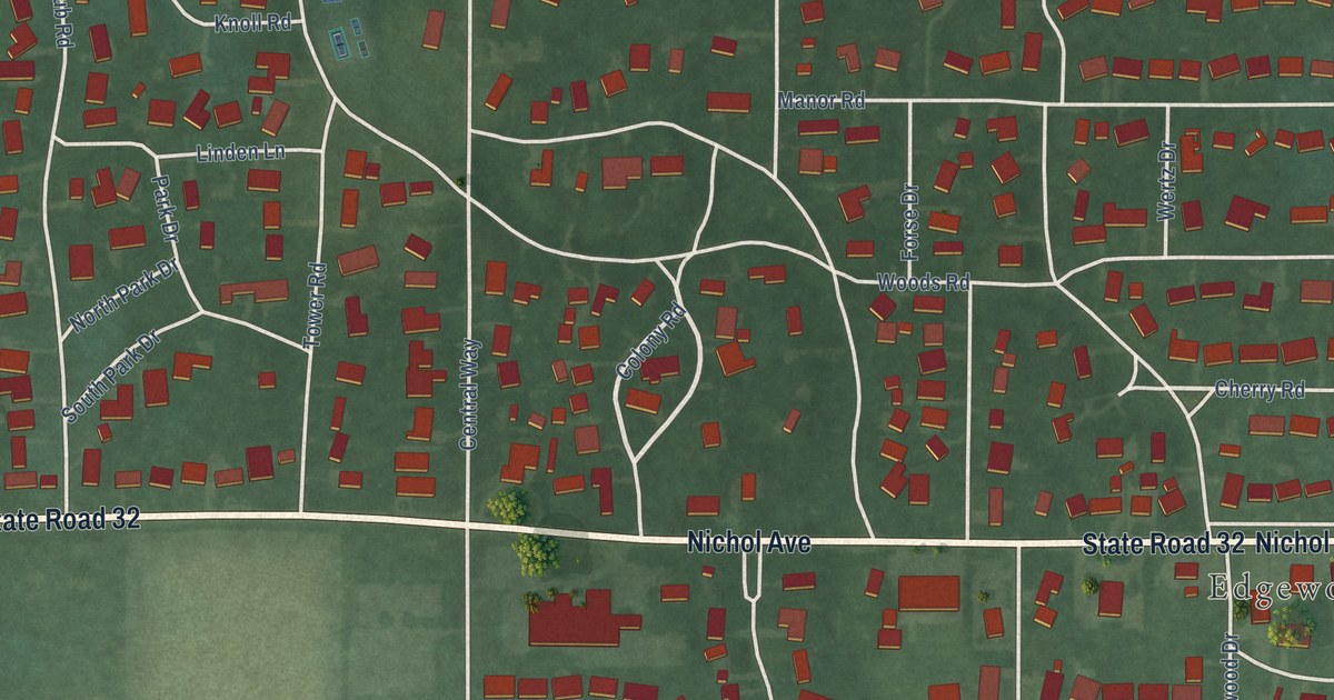
A detailed map of Edgewood, Indiana, showing every building in its true location, the roads by name, and shaded topographical relief.
Read More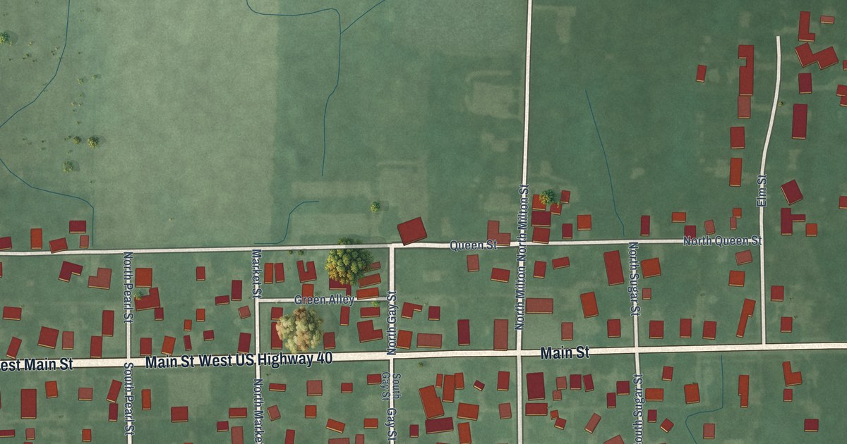
A detailed map of East Germantown, Indiana, showing every building in its true location, the roads by name, and shaded topographical relief.
Read More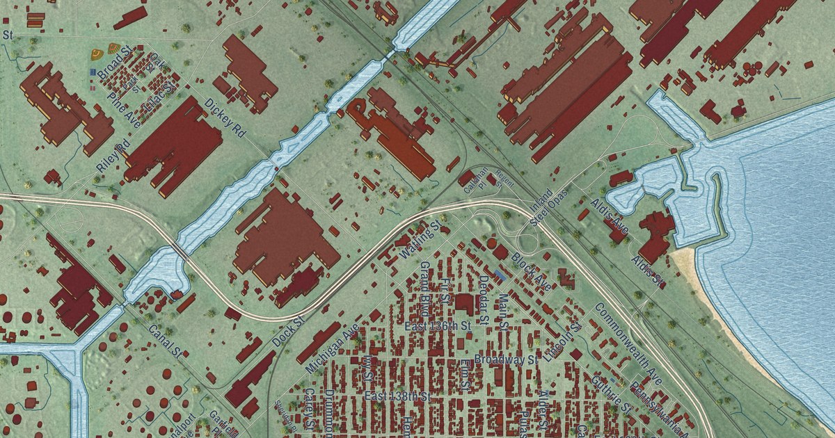
A detailed map of East Chicago, Indiana, showing every building in its true location, the roads by name, and shaded topographical relief.
Read More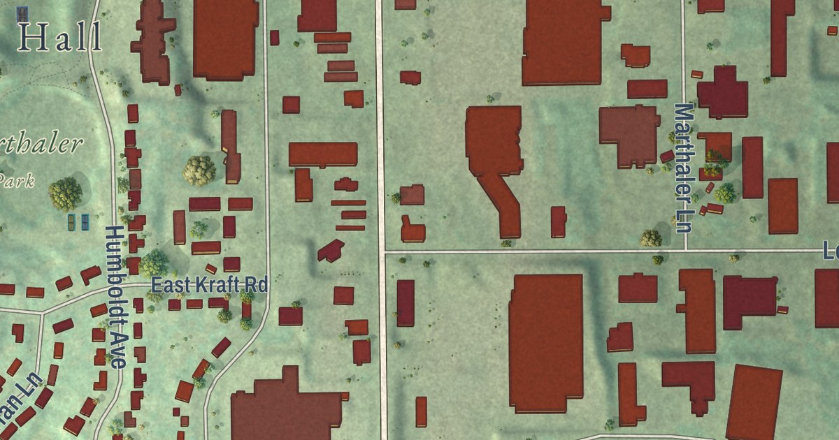
A detailed map of West St. Paul, Minnesota, showing every building in its true location, the roads by name, and shaded topographical relief.
Read More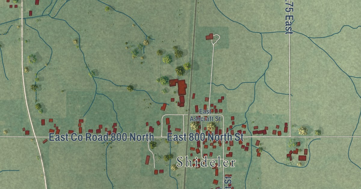
A detailed map of Eaton, Indiana, showing every building in its true location, the roads by name, and shaded topographical relief.
Read More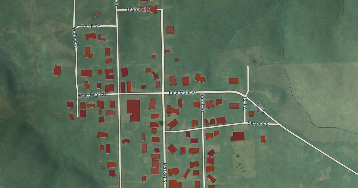
A detailed map of Economy, Indiana, showing every building in its true location, the roads by name, and shaded topographical relief.
Read More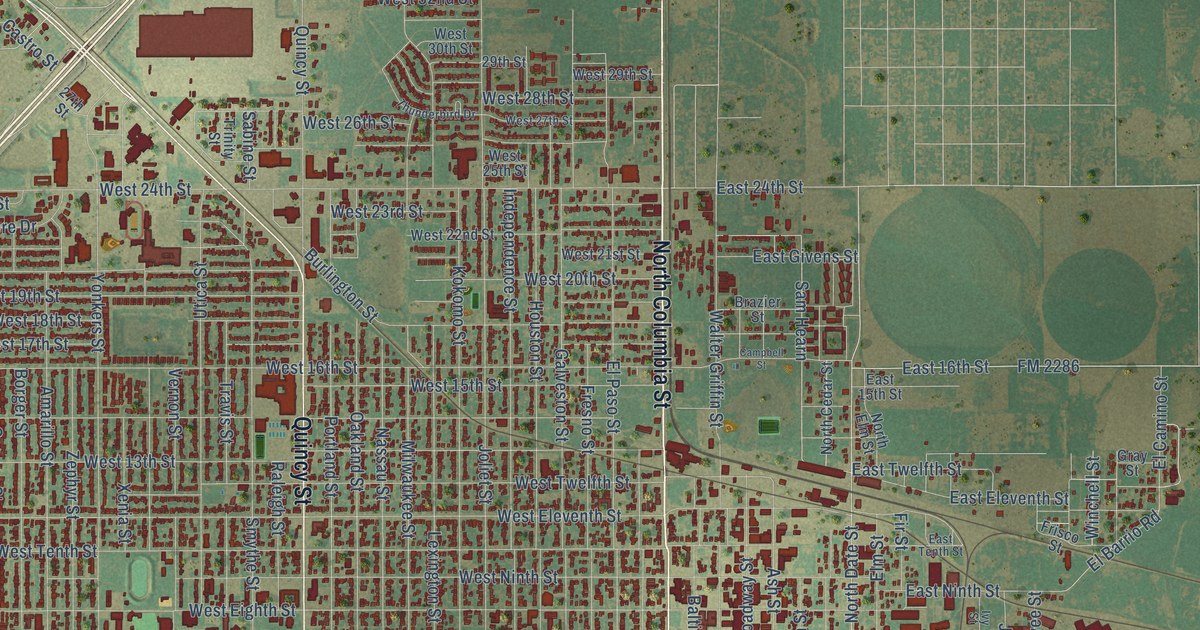
A detailed map of Plainview, Texas, showing every building in its true location, the roads by name, and shaded topographical relief.
Read More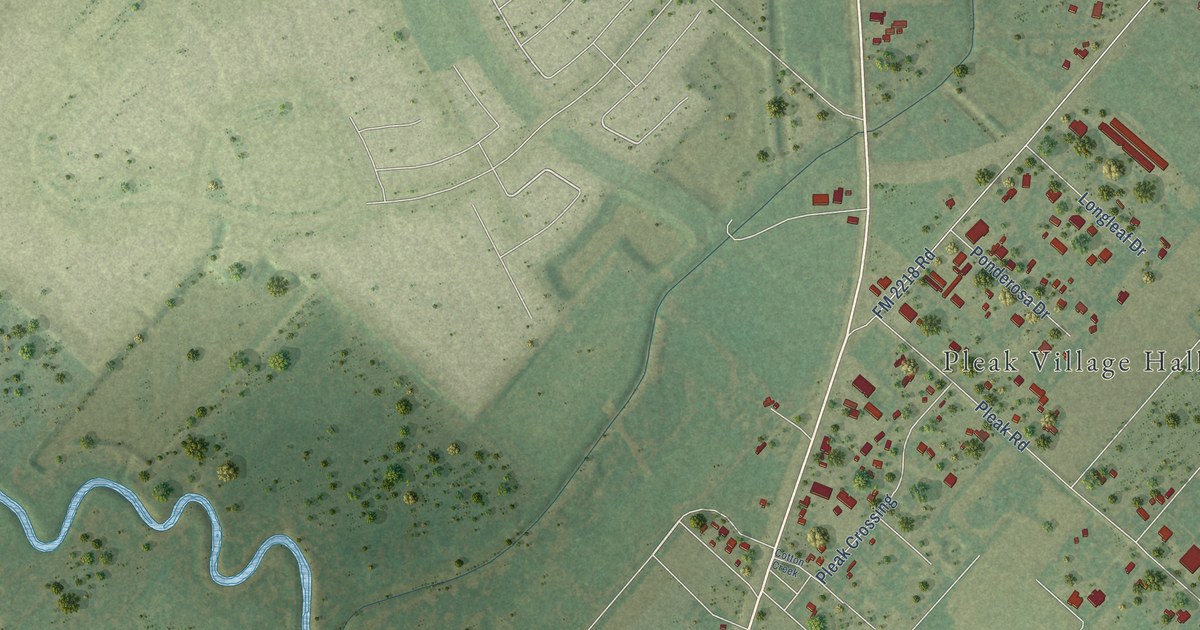
A detailed map of Pleak, Texas, showing every building in its true location, the roads by name, and shaded topographical relief.
Read More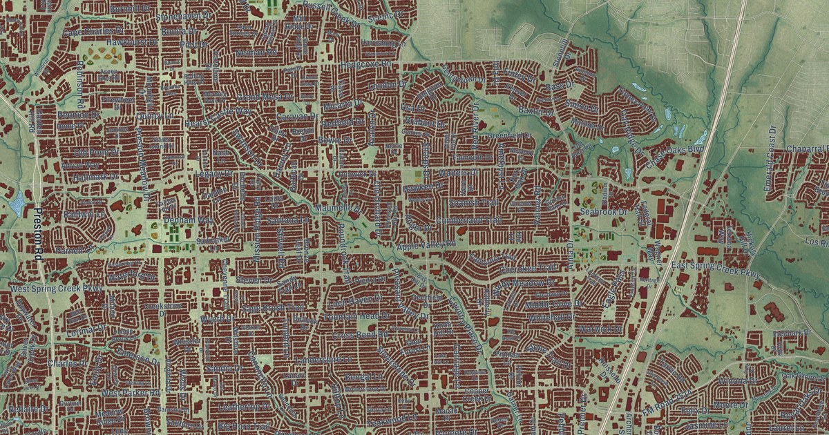
A detailed map of Plano, Texas, showing every building in its true location, the roads by name, and shaded topographical relief.
Read More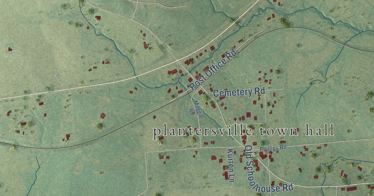
A detailed map of Plantersville, Texas, showing every building in its true location, the roads by name, and shaded topographical relief.
Read More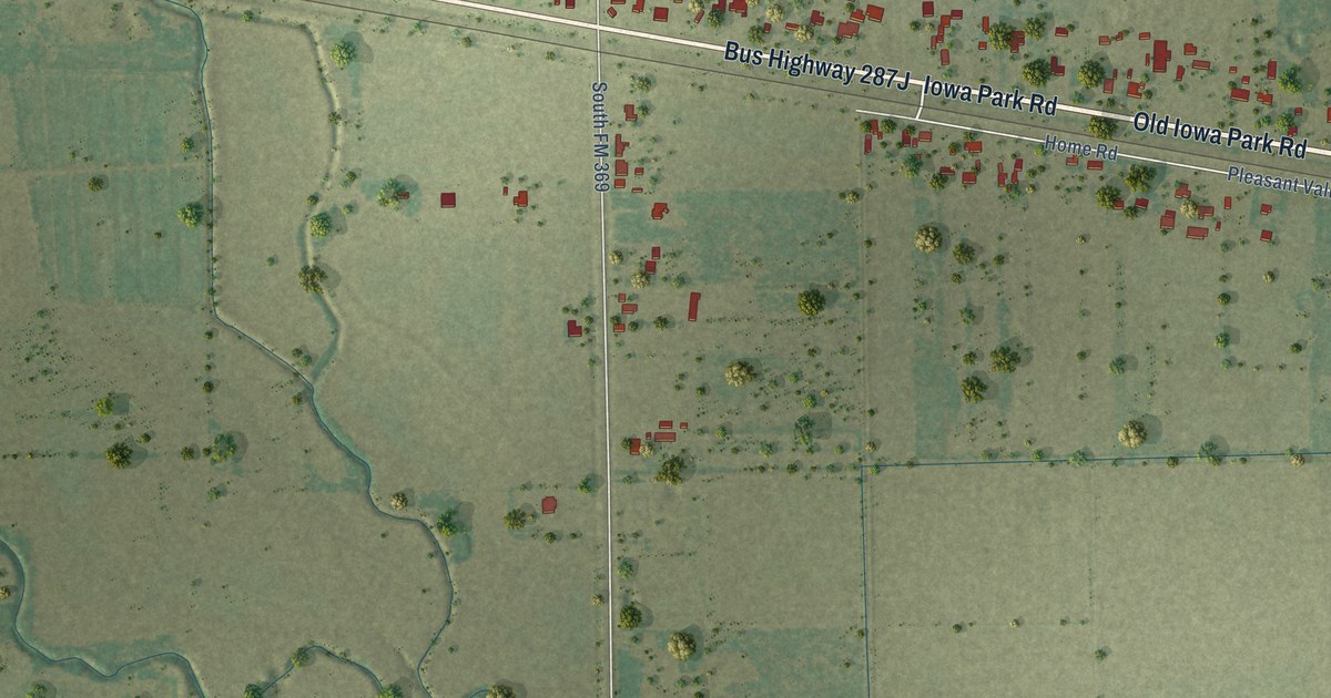
A detailed map of Pleasant Valley, Texas, showing every building in its true location, the roads by name, and shaded topographical relief.
Read More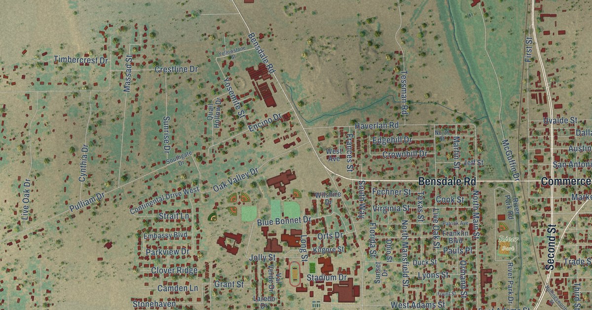
A detailed map of Pleasanton, Texas, showing every building in its true location, the roads by name, and shaded topographical relief.
Read More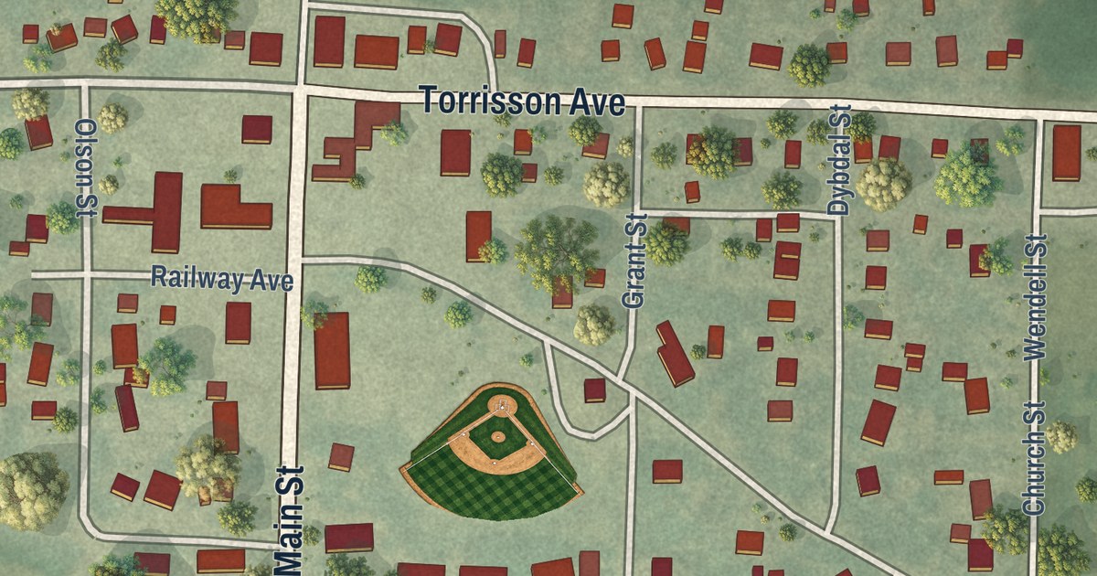
A detailed map of Wendell, Minnesota, showing every building in its true location, the roads by name, and shaded topographical relief.
Read More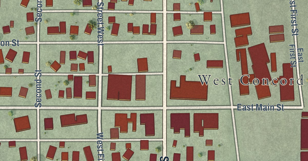
A detailed map of West Concord, Minnesota, showing every building in its true location, the roads by name, and shaded topographical relief.
Read More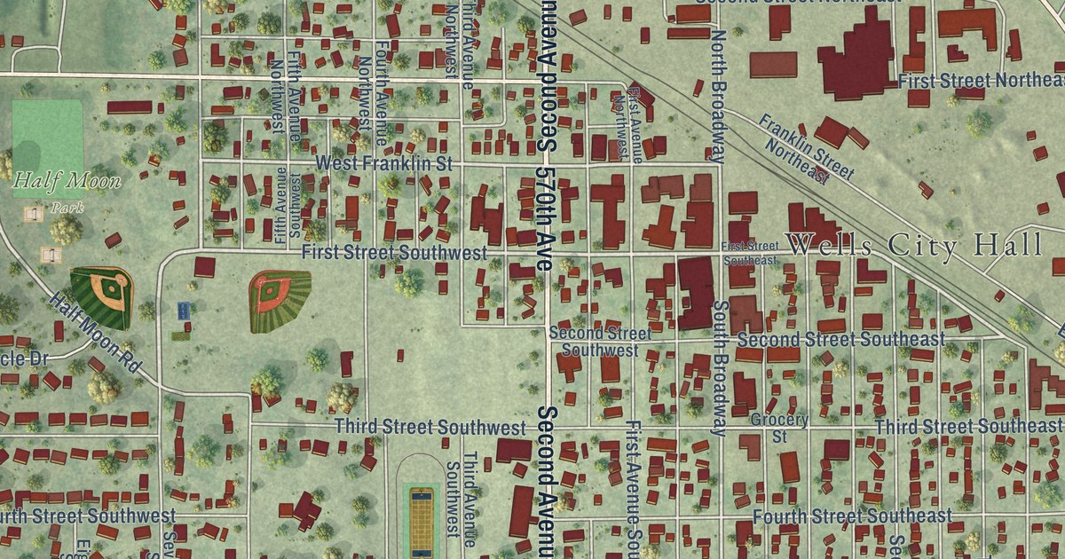
A detailed map of Wells, Minnesota, showing every building in its true location, the roads by name, and shaded topographical relief.
Read More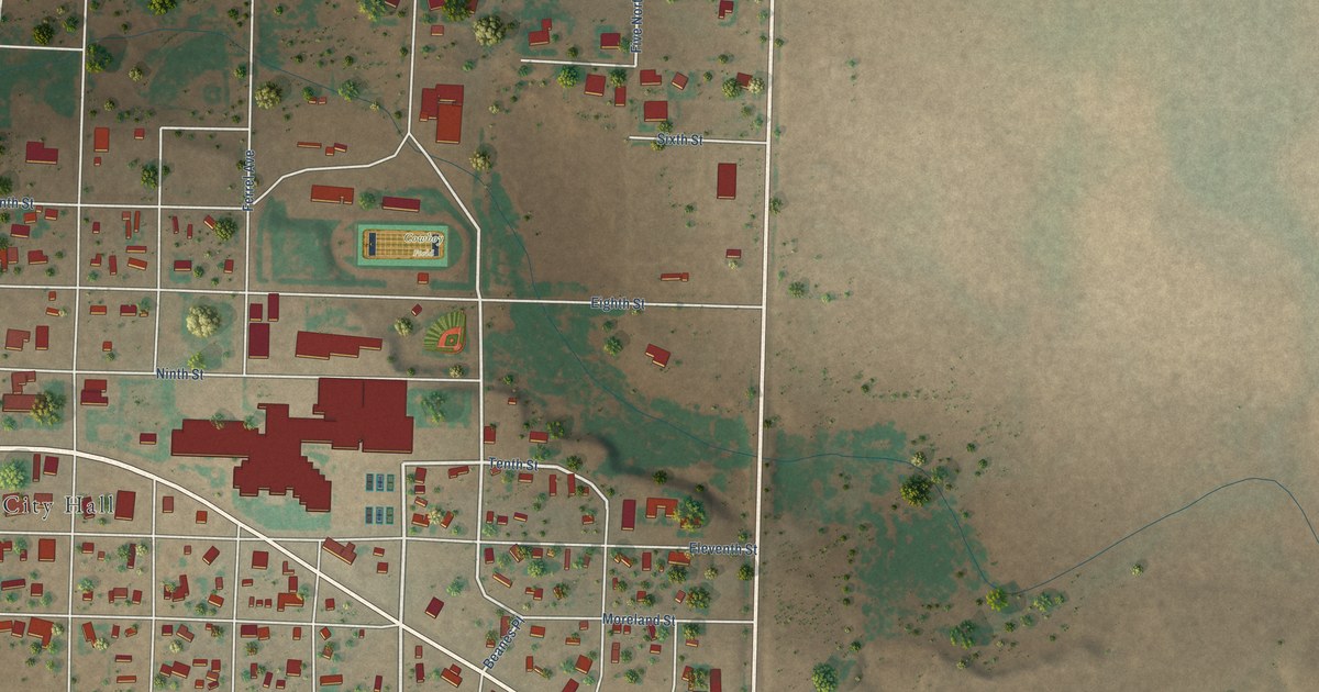
A detailed map of Plains, Texas, showing every building in its true location, the roads by name, and shaded topographical relief.
Read More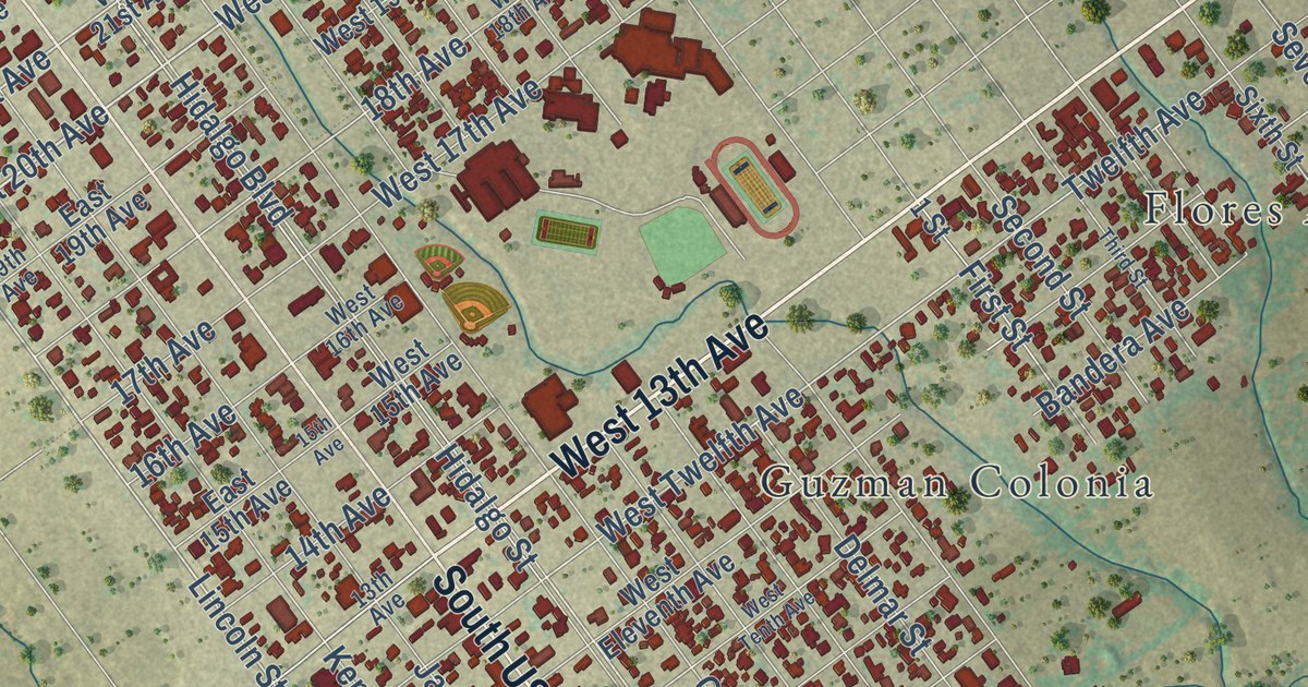
A detailed map of Zapata, Texas, showing every building in its true location, the roads by name, and shaded topographical relief.
Read More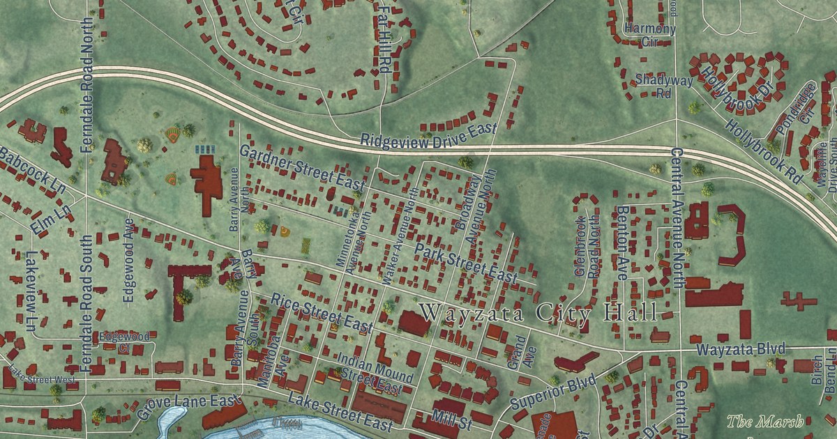
A detailed map of Wayzata, Minnesota, showing every building in its true location, the roads by name, and shaded topographical relief.
Read More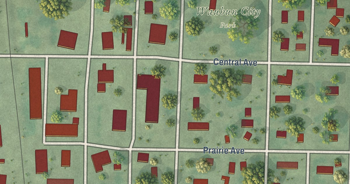
A detailed map of Waubun, Minnesota, showing every building in its true location, the roads by name, and shaded topographical relief.
Read More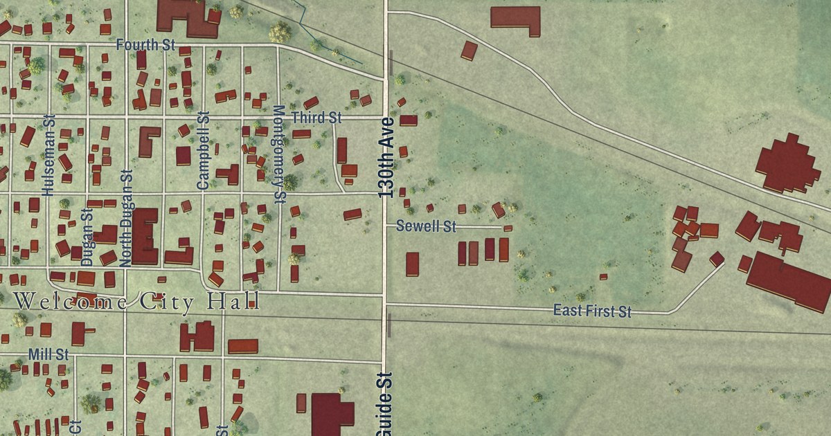
A detailed map of Welcome, Minnesota, showing every building in its true location, the roads by name, and shaded topographical relief.
Read More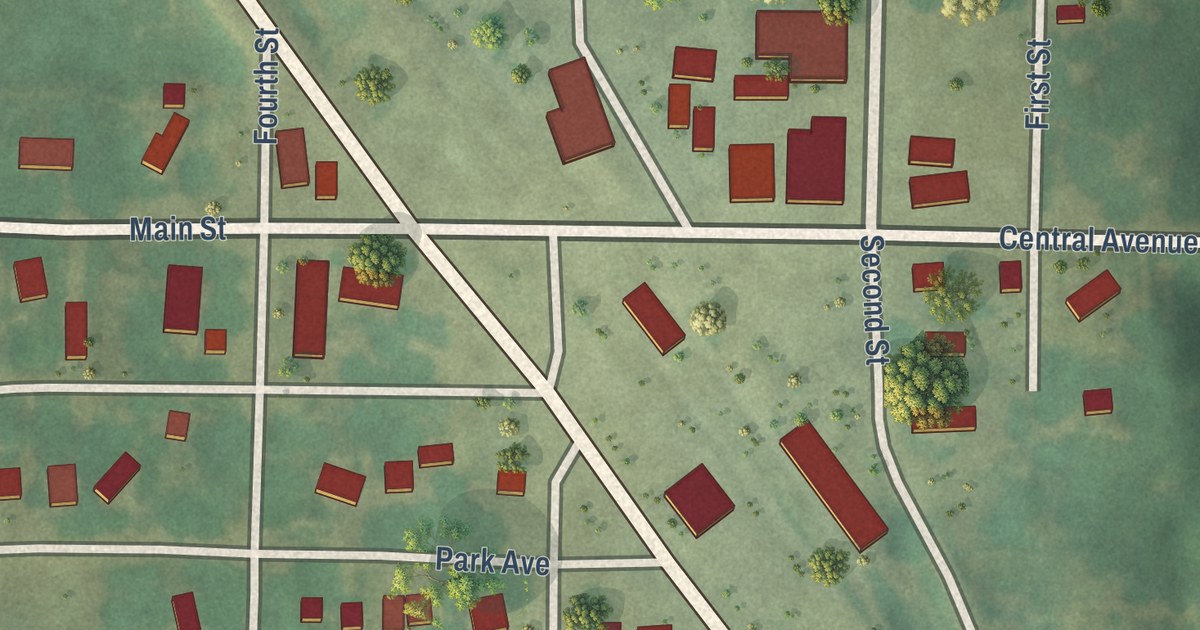
A detailed map of Watson, Minnesota, showing every building in its true location, the roads by name, and shaded topographical relief.
Read More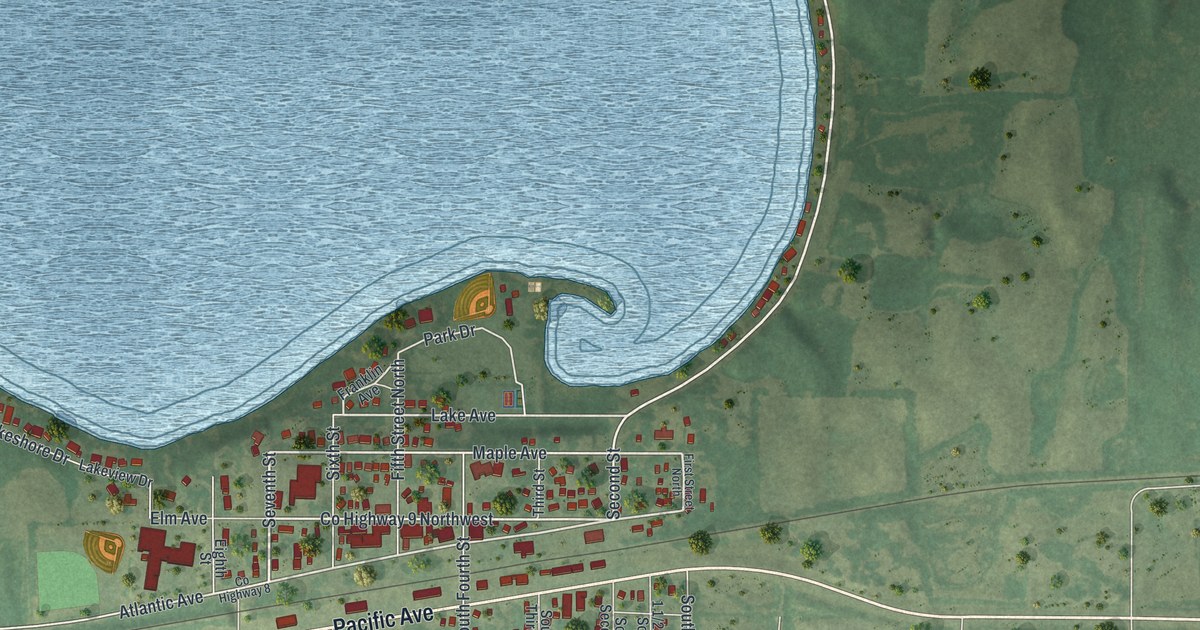
A detailed map of Waverly, Minnesota, showing every building in its true location, the roads by name, and shaded topographical relief.
Read More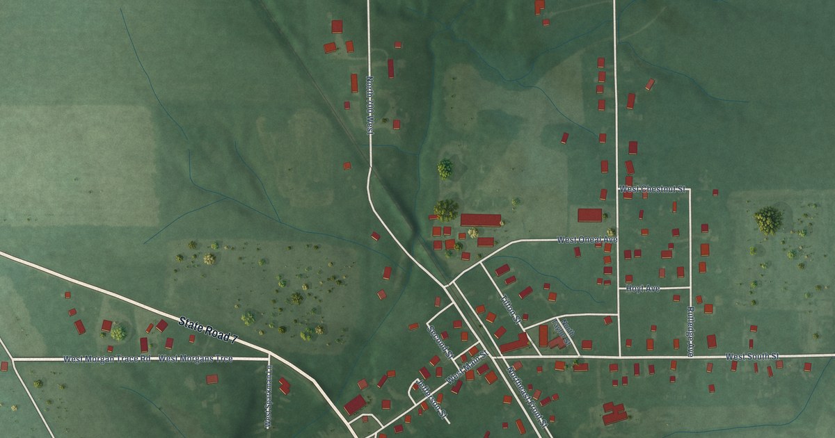
A detailed map of Dupont, Indiana, showing every building in its true location, the roads by name, and shaded topographical relief.
Read More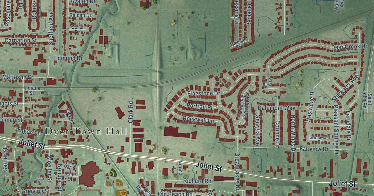
A detailed map of Dyer, Indiana, showing every building in its true location, the roads by name, and shaded topographical relief.
Read More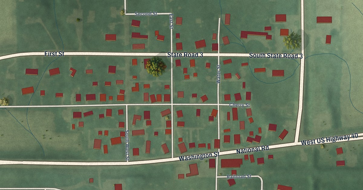
A detailed map of Dunreith, Indiana, showing every building in its true location, the roads by name, and shaded topographical relief.
Read More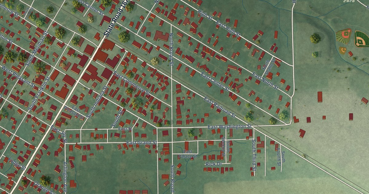
A detailed map of Dunkirk, Indiana, showing every building in its true location, the roads by name, and shaded topographical relief.
Read More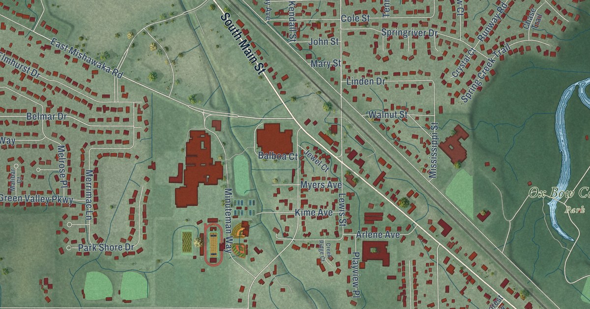
A detailed map of Dunlap, Indiana, showing every building in its true location, the roads by name, and shaded topographical relief.
Read More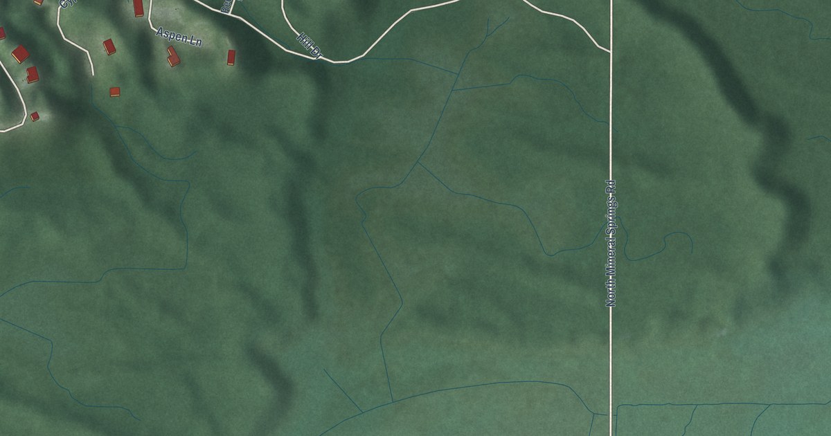
A detailed map of Dune Acres, Indiana, showing every building in its true location, the roads by name, and shaded topographical relief.
Read More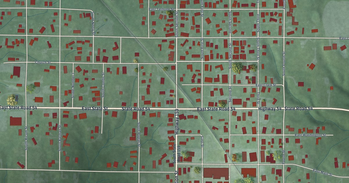
A detailed map of Dugger, Indiana, showing every building in its true location, the roads by name, and shaded topographical relief.
Read More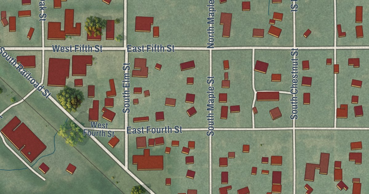
A detailed map of Earl Park, Indiana, showing every building in its true location, the roads by name, and shaded topographical relief.
Read More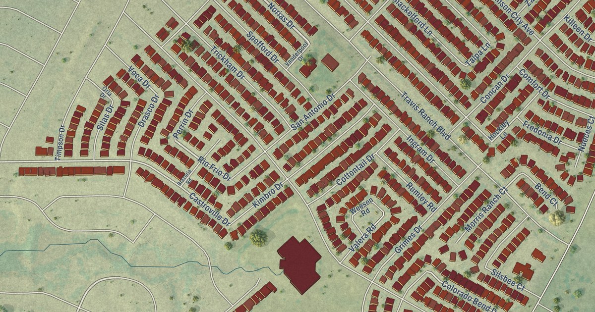
A detailed map of Travis Ranch, Texas, showing every building in its true location, the roads by name, and shaded topographical relief.
Read More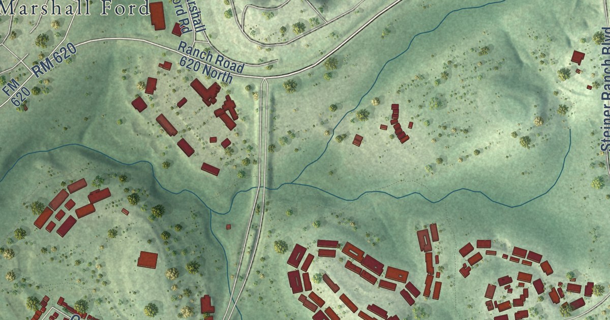
A detailed map of Steiner Ranch, Texas, showing every building in its true location, the roads by name, and shaded topographical relief.
Read More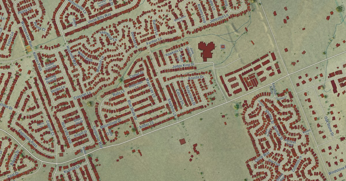
A detailed map of Sonterra, Texas, showing every building in its true location, the roads by name, and shaded topographical relief.
Read More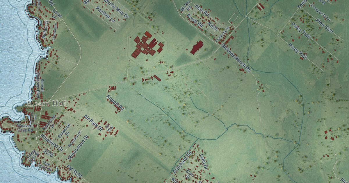
A detailed map of West Livingston, Texas, showing every building in its true location, the roads by name, and shaded topographical relief.
Read More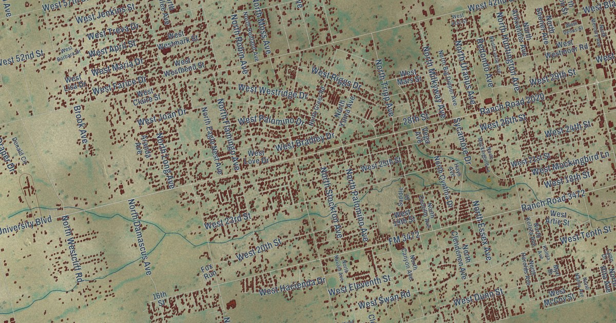
A detailed map of West Odessa, Texas, showing every building in its true location, the roads by name, and shaded topographical relief.
Read More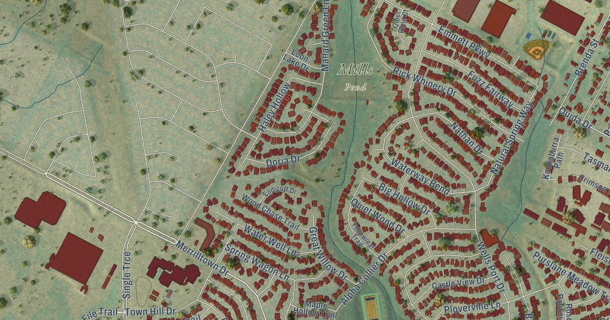
A detailed map of Wells Branch, Texas, showing every building in its true location, the roads by name, and shaded topographical relief.
Read More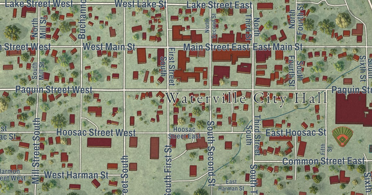
A detailed map of Waterville, Minnesota, showing every building in its true location, the roads by name, and shaded topographical relief.
Read More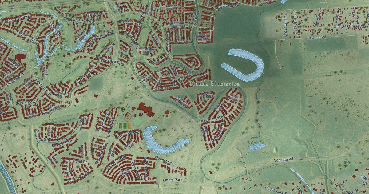
A detailed map of Sienna, Texas, showing every building in its true location, the roads by name, and shaded topographical relief.
Read More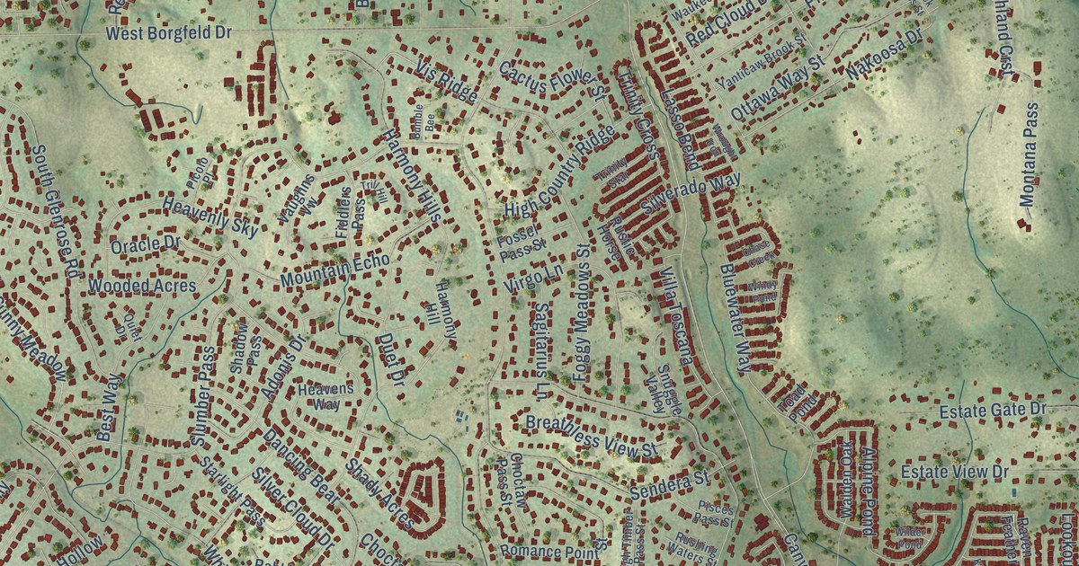
A detailed map of Timberwood Park, Texas, showing every building in its true location, the roads by name, and shaded topographical relief.
Read More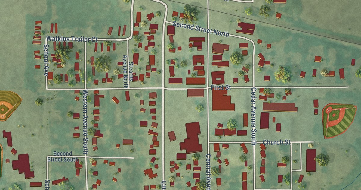
A detailed map of Watkins, Minnesota, showing every building in its true location, the roads by name, and shaded topographical relief.
Read More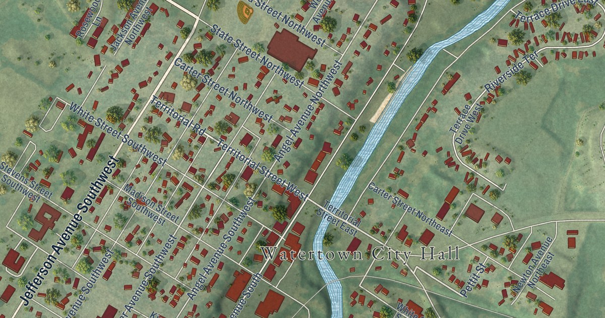
A detailed map of Watertown, Minnesota, showing every building in its true location, the roads by name, and shaded topographical relief.
Read More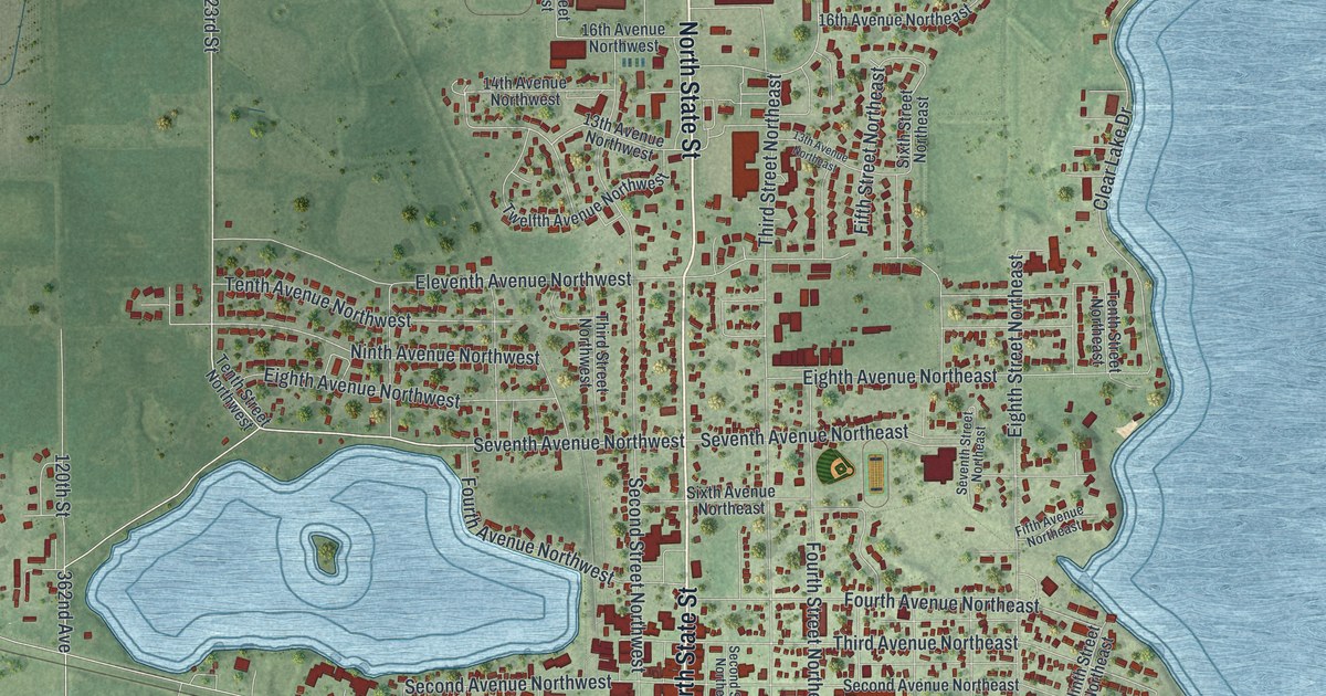
A detailed map of Waseca, Minnesota, showing every building in its true location, the roads by name, and shaded topographical relief.
Read More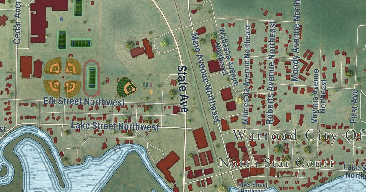
A detailed map of Warroad, Minnesota, showing every building in its true location, the roads by name, and shaded topographical relief.
Read More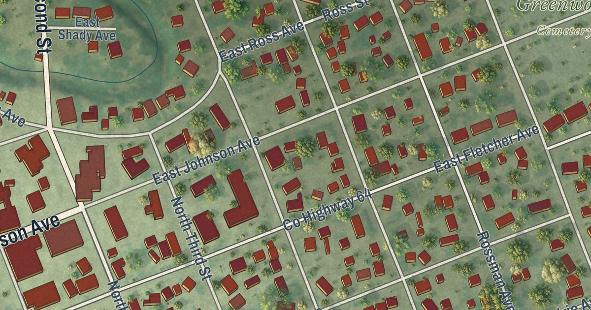
A detailed map of Warren, Minnesota, showing every building in its true location, the roads by name, and shaded topographical relief.
Read More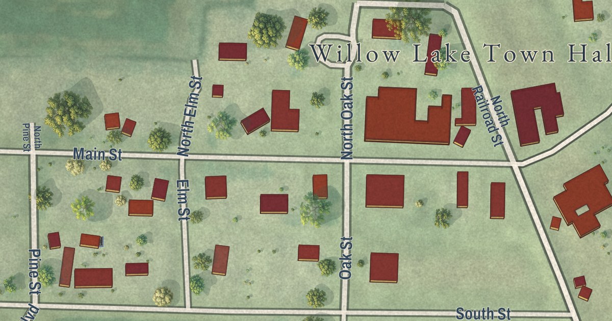
A detailed map of Wanda, Minnesota, showing every building in its true location, the roads by name, and shaded topographical relief.
Read More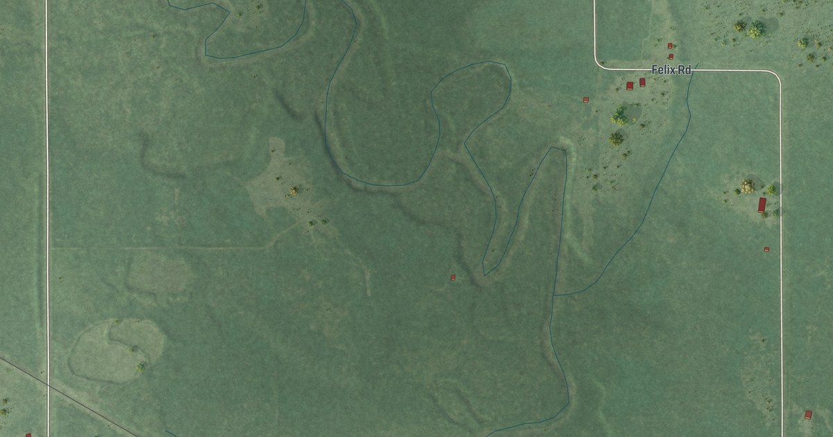
A detailed map of Warba, Minnesota, showing every building in its true location, the roads by name, and shaded topographical relief.
Read More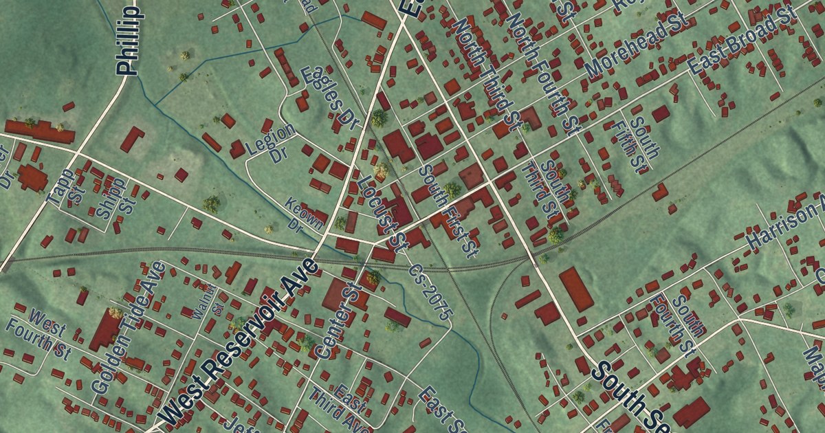
A detailed map of Central City, Kentucky, showing every building in its true location, the roads by name, and shaded topographical relief.
Read More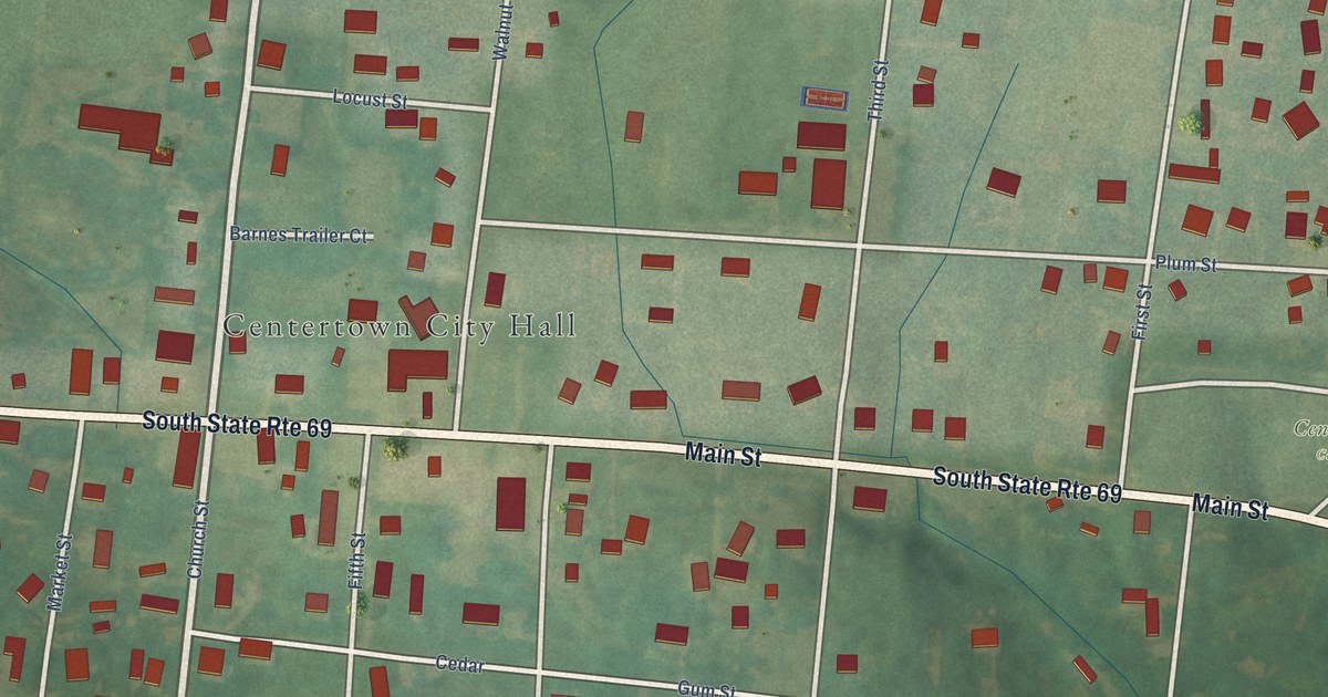
A detailed map of Centertown, Kentucky, showing every building in its true location, the roads by name, and shaded topographical relief.
Read More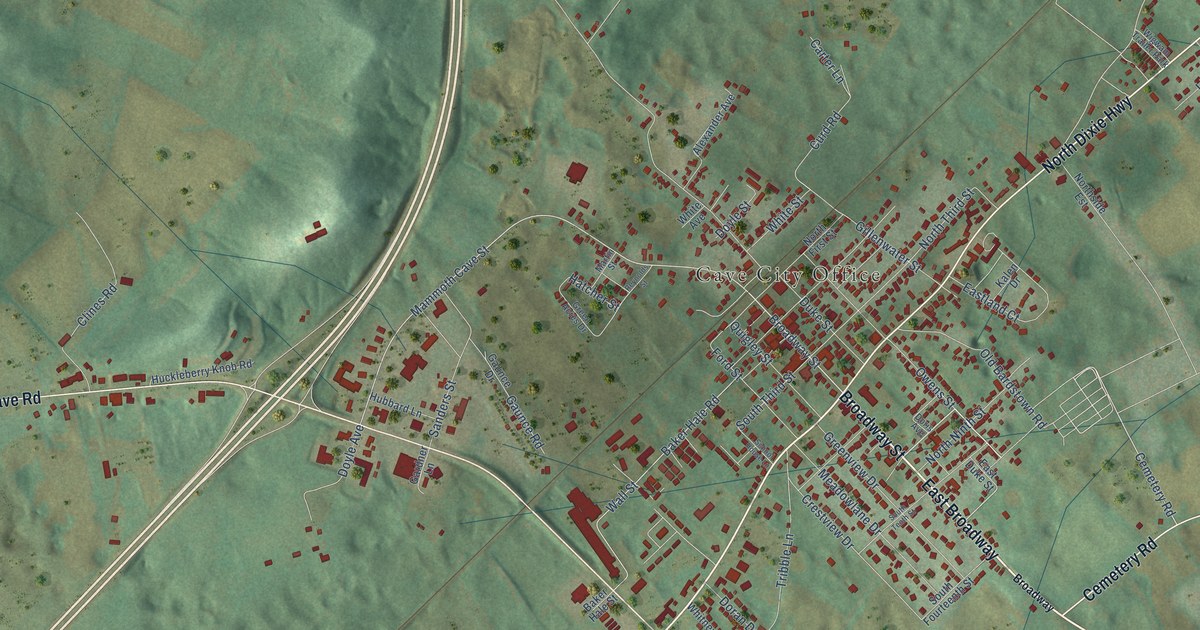
A detailed map of Cave City, Kentucky, showing every building in its true location, the roads by name, and shaded topographical relief.
Read More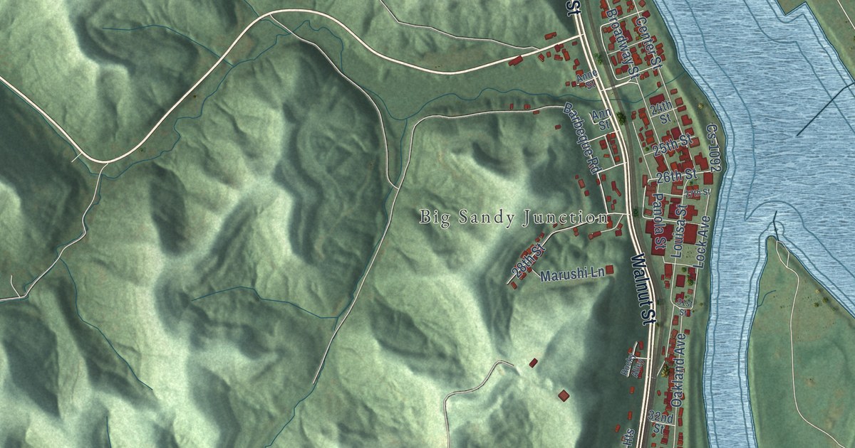
A detailed map of Catlettsburg, Kentucky, showing every building in its true location, the roads by name, and shaded topographical relief.
Read More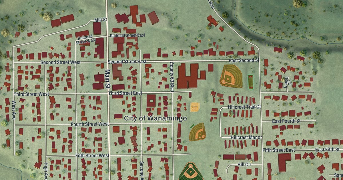
A detailed map of Wanamingo, Minnesota, showing every building in its true location, the roads by name, and shaded topographical relief.
Read More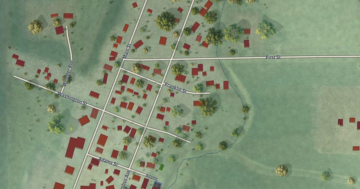
A detailed map of Waltham, Minnesota, showing every building in its true location, the roads by name, and shaded topographical relief.
Read More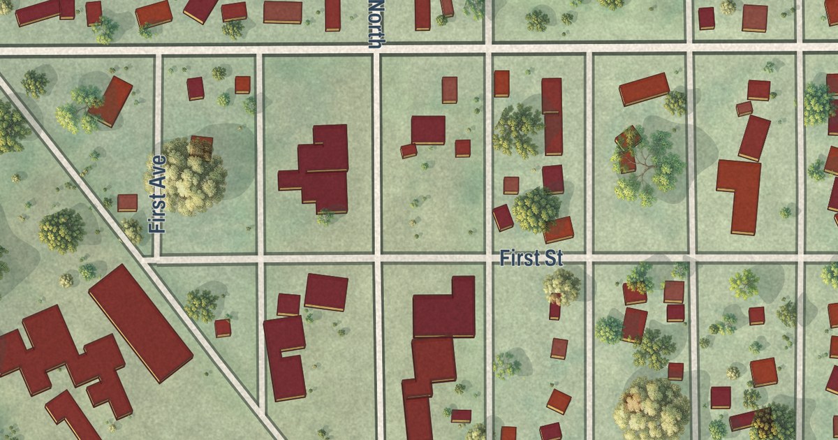
A detailed map of Waldorf, Minnesota, showing every building in its true location, the roads by name, and shaded topographical relief.
Read More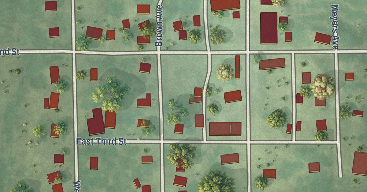
A detailed map of Walters, Minnesota, showing every building in its true location, the roads by name, and shaded topographical relief.
Read More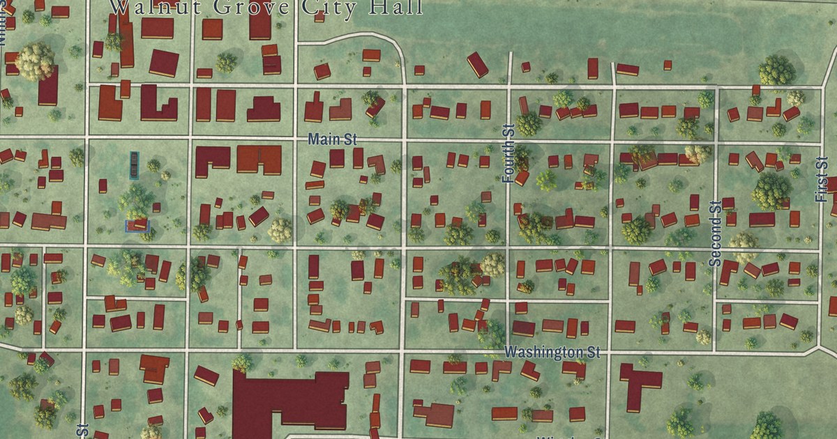
A detailed map of Walnut Grove, Minnesota, showing every building in its true location, the roads by name, and shaded topographical relief.
Read More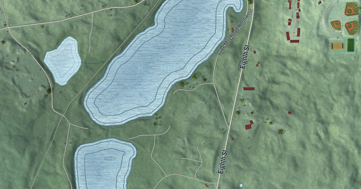
A detailed map of Walker, Minnesota, showing every building in its true location, the roads by name, and shaded topographical relief.
Read More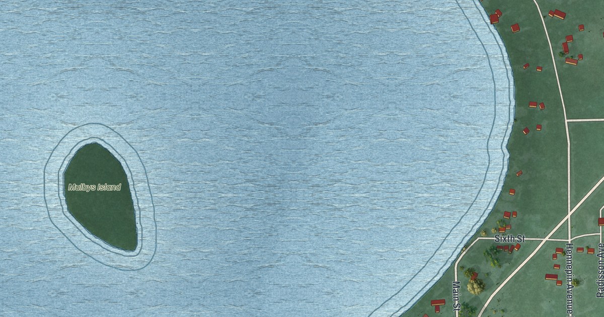
A detailed map of Wahkon, Minnesota, showing every building in its true location, the roads by name, and shaded topographical relief.
Read More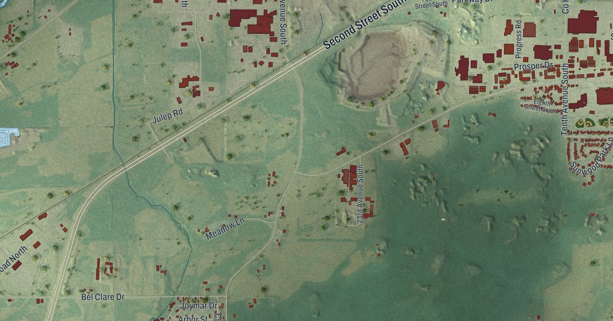
A detailed map of Waite Park, Minnesota, showing every building in its true location, the roads by name, and shaded topographical relief.
Read More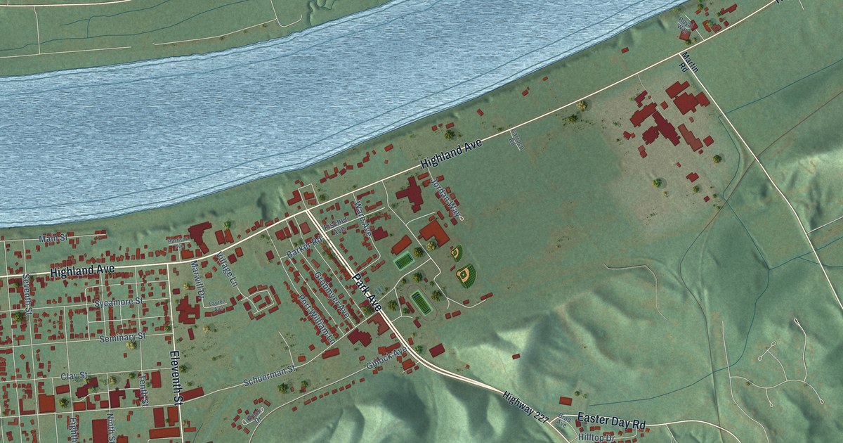
A detailed map of Carrollton, Kentucky, showing every building in its true location, the roads by name, and shaded topographical relief.
Read More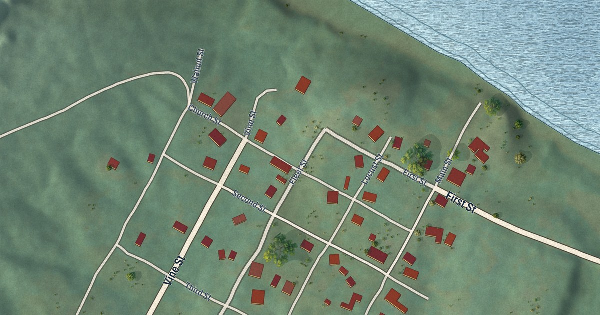
A detailed map of Carrsville, Kentucky, showing every building in its true location, the roads by name, and shaded topographical relief.
Read More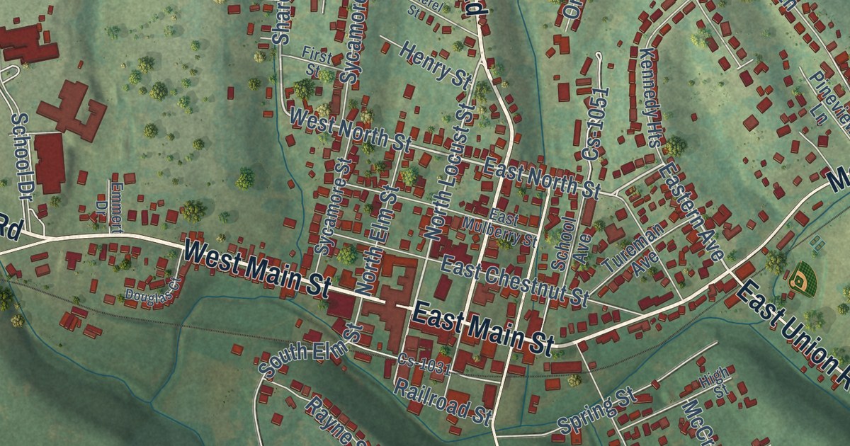
A detailed map of Carlisle, Kentucky, showing every building in its true location, the roads by name, and shaded topographical relief.
Read More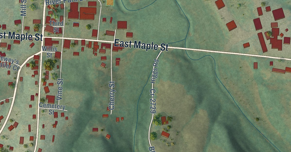
A detailed map of Caneyville, Kentucky, showing every building in its true location, the roads by name, and shaded topographical relief.
Read More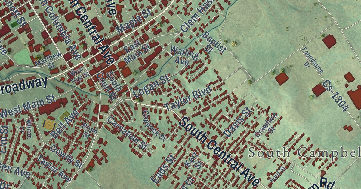
A detailed map of Campbellsville, Kentucky, showing every building in its true location, the roads by name, and shaded topographical relief.
Read More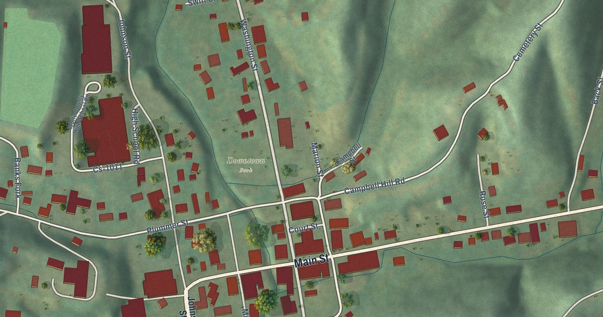
A detailed map of Campton, Kentucky, showing every building in its true location, the roads by name, and shaded topographical relief.
Read More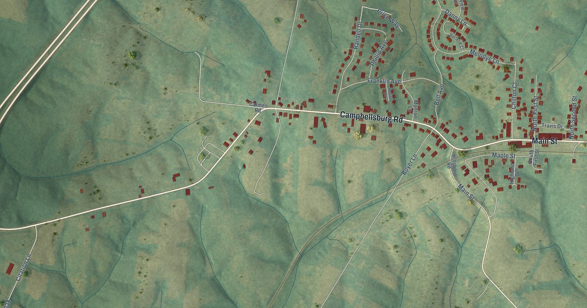
A detailed map of Campbellsburg, Kentucky, showing every building in its true location, the roads by name, and shaded topographical relief.
Read More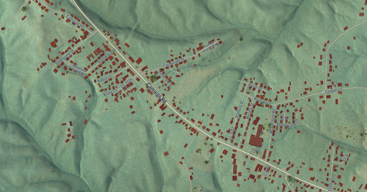
A detailed map of Camargo, Kentucky, showing every building in its true location, the roads by name, and shaded topographical relief.
Read More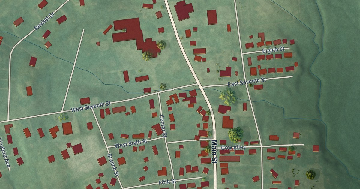
A detailed map of Calhoun, Kentucky, showing every building in its true location, the roads by name, and shaded topographical relief.
Read More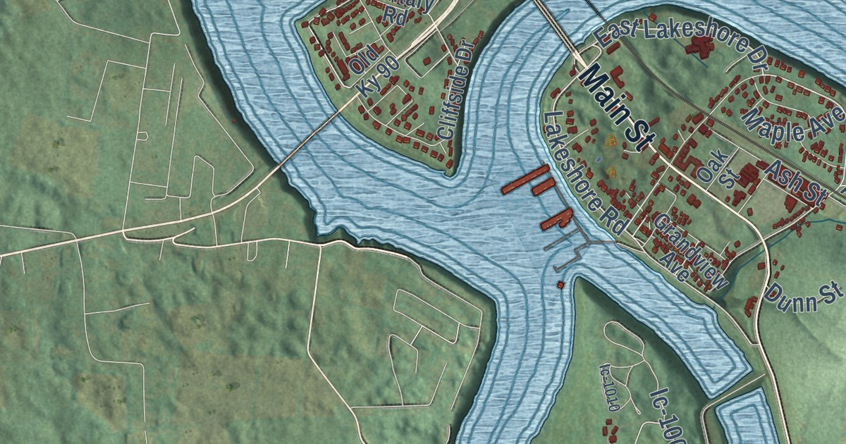
A detailed map of Burnside, Kentucky, showing every building in its true location, the roads by name, and shaded topographical relief.
Read More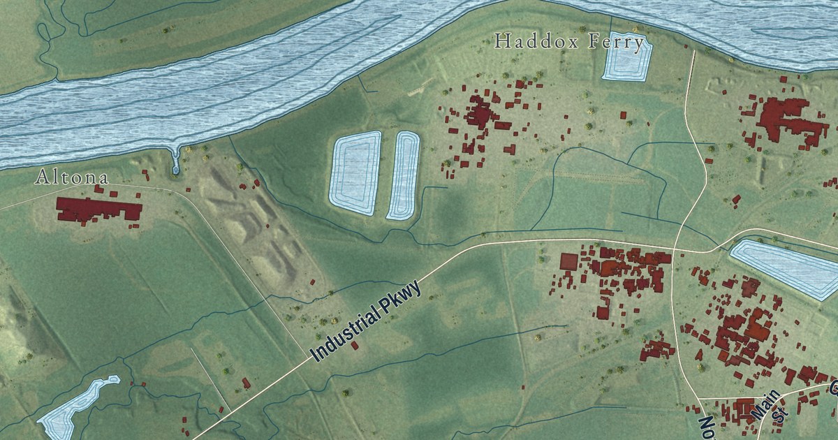
A detailed map of Calvert City, Kentucky, showing every building in its true location, the roads by name, and shaded topographical relief.
Read More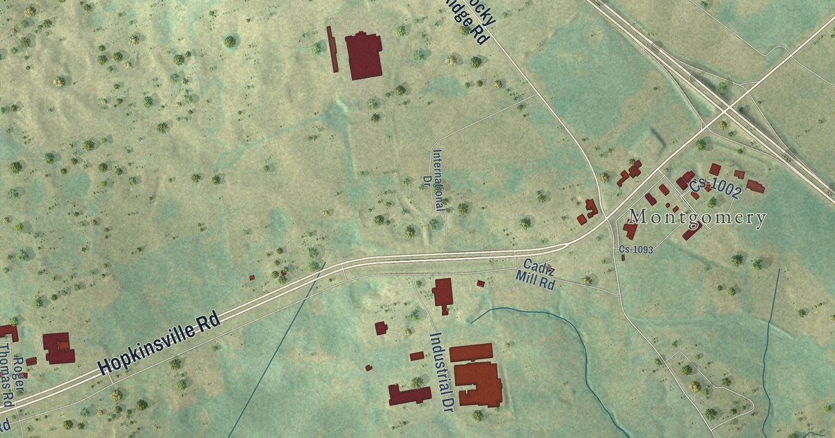
A detailed map of Cadiz, Kentucky, showing every building in its true location, the roads by name, and shaded topographical relief.
Read More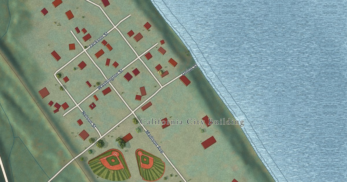
A detailed map of California, Kentucky, showing every building in its true location, the roads by name, and shaded topographical relief.
Read More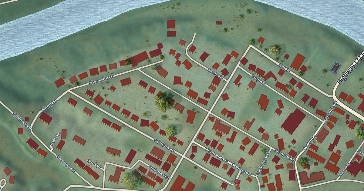
A detailed map of Butler, Kentucky, showing every building in its true location, the roads by name, and shaded topographical relief.
Read More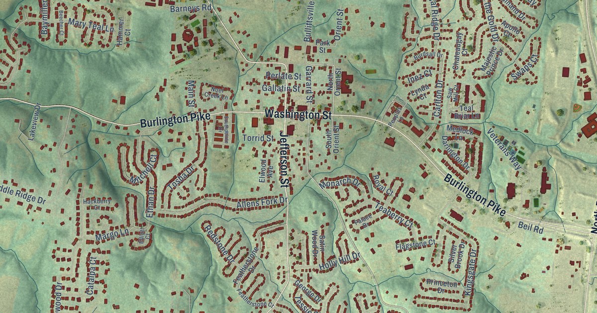
A detailed map of Burlington, Kentucky, showing every building in its true location, the roads by name, and shaded topographical relief.
Read More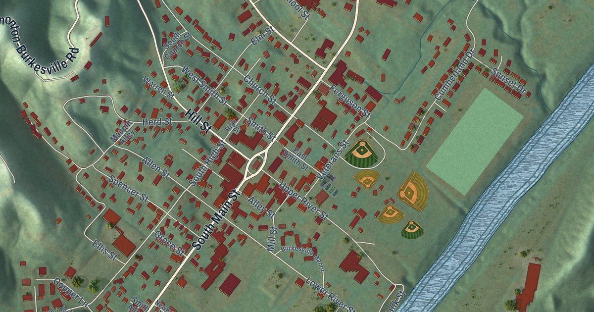
A detailed map of Burkesville, Kentucky, showing every building in its true location, the roads by name, and shaded topographical relief.
Read More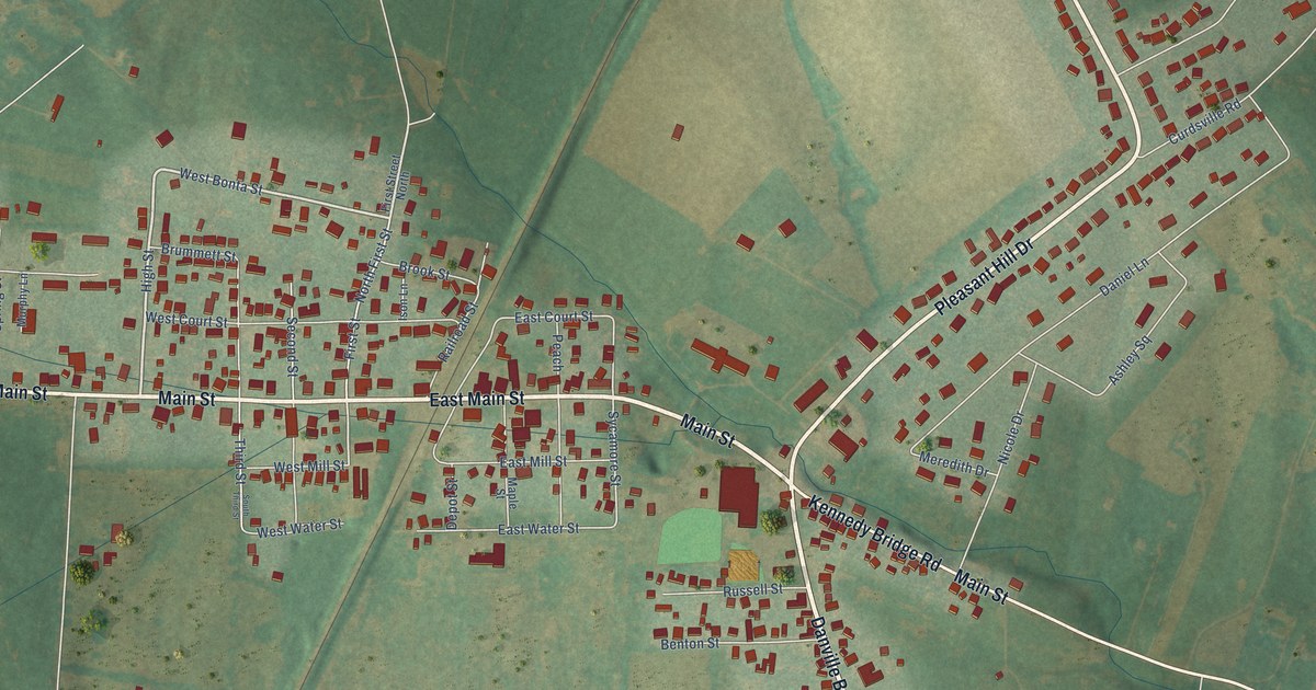
A detailed map of Burgin, Kentucky, showing every building in its true location, the roads by name, and shaded topographical relief.
Read More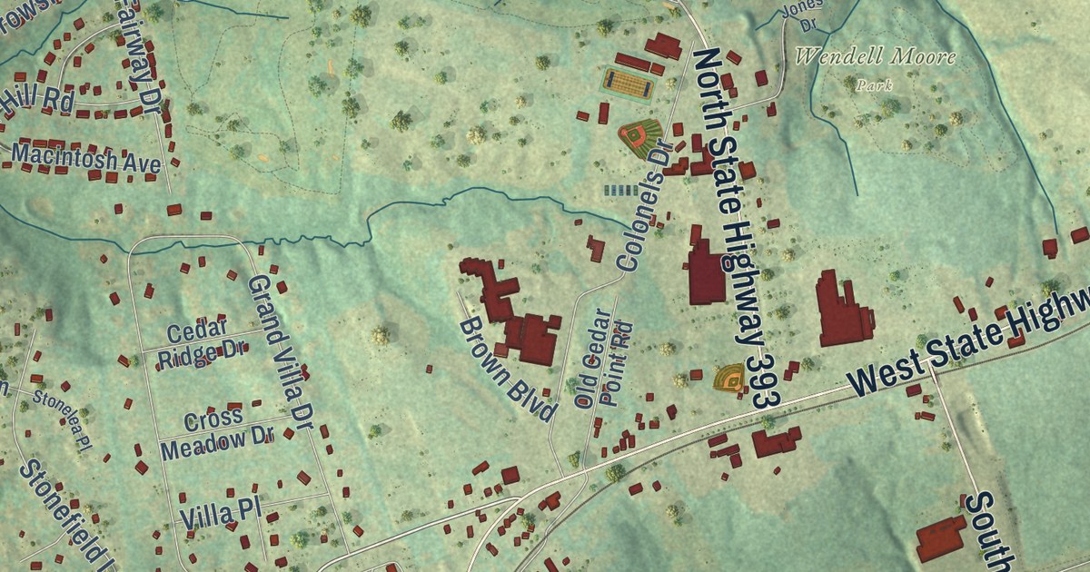
A detailed map of Buckner, Kentucky, showing every building in its true location, the roads by name, and shaded topographical relief.
Read More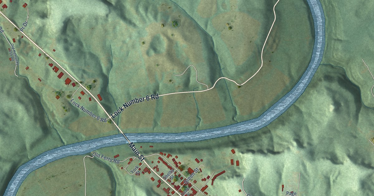
A detailed map of Brownsville, Kentucky, showing every building in its true location, the roads by name, and shaded topographical relief.
Read More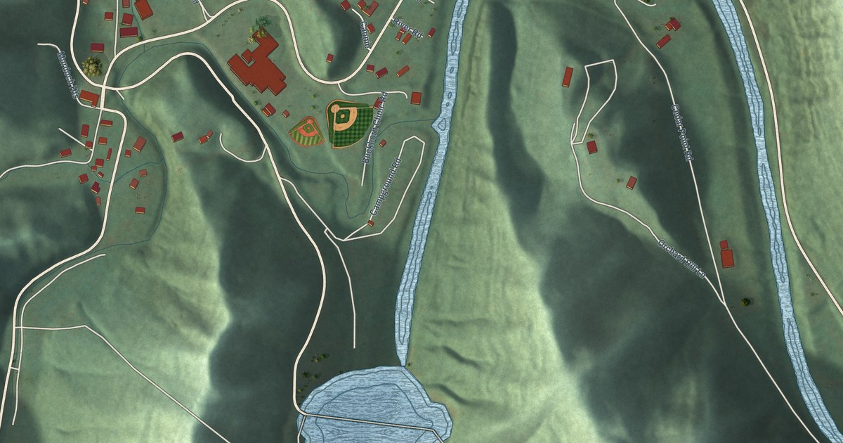
A detailed map of Buckhorn, Kentucky, showing every building in its true location, the roads by name, and shaded topographical relief.
Read More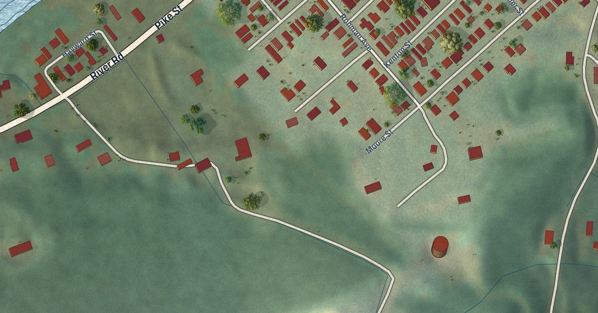
A detailed map of Bromley, Kentucky, showing every building in its true location, the roads by name, and shaded topographical relief.
Read More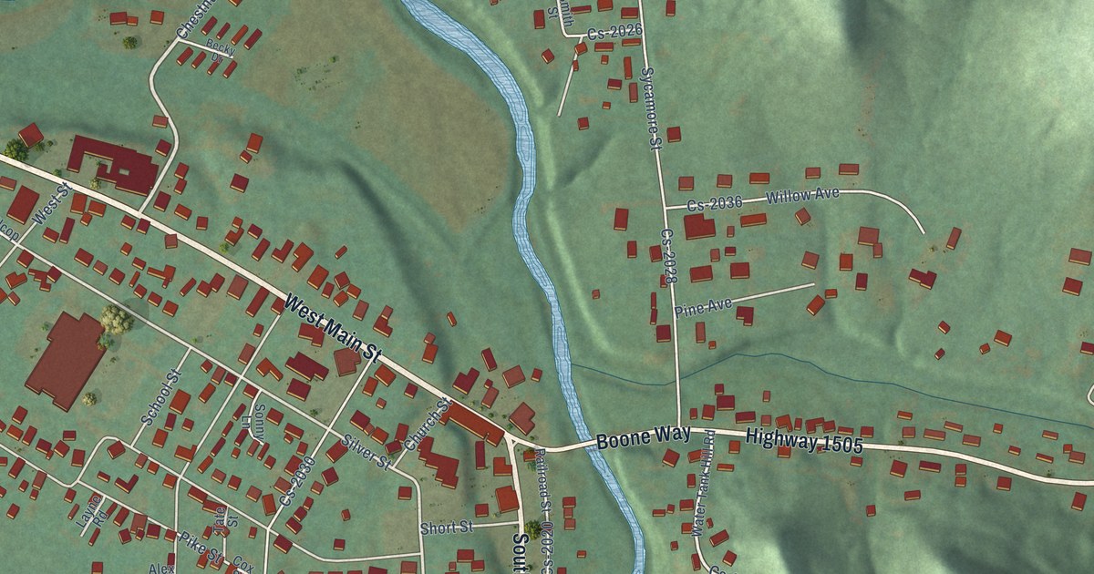
A detailed map of Brodhead, Kentucky, showing every building in its true location, the roads by name, and shaded topographical relief.
Read More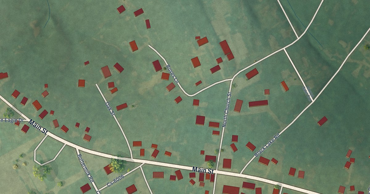
A detailed map of Bremen, Kentucky, showing every building in its true location, the roads by name, and shaded topographical relief.
Read More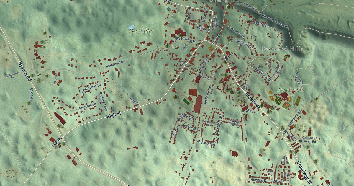
A detailed map of Brandenburg, Kentucky, showing every building in its true location, the roads by name, and shaded topographical relief.
Read More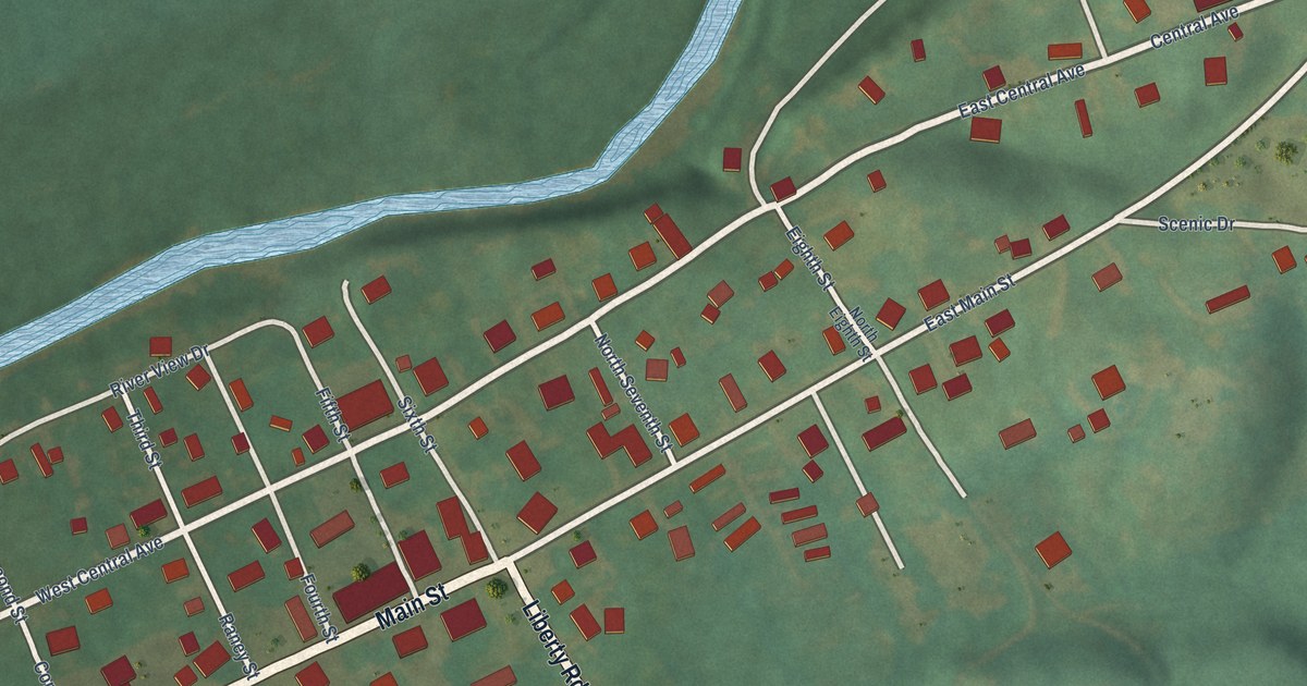
A detailed map of Bradfordsville, Kentucky, showing every building in its true location, the roads by name, and shaded topographical relief.
Read More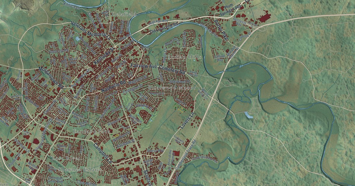
A detailed map of Bowling Green, Kentucky, showing every building in its true location, the roads by name, and shaded topographical relief.
Read More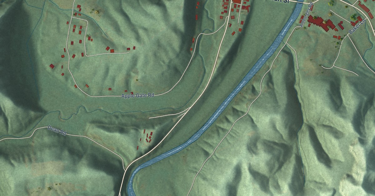
A detailed map of Booneville, Kentucky, showing every building in its true location, the roads by name, and shaded topographical relief.
Read More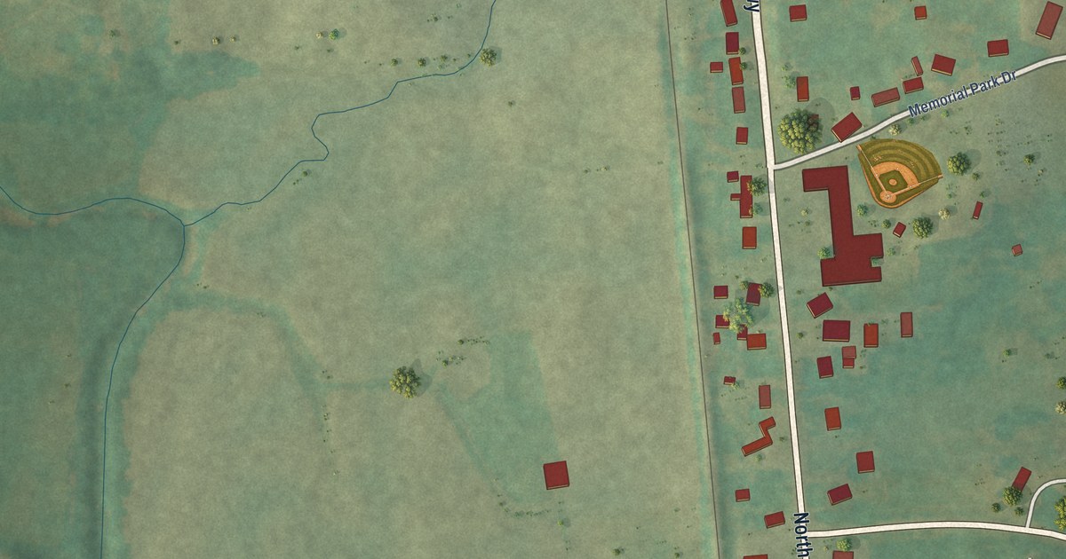
A detailed map of Bonnieville, Kentucky, showing every building in its true location, the roads by name, and shaded topographical relief.
Read More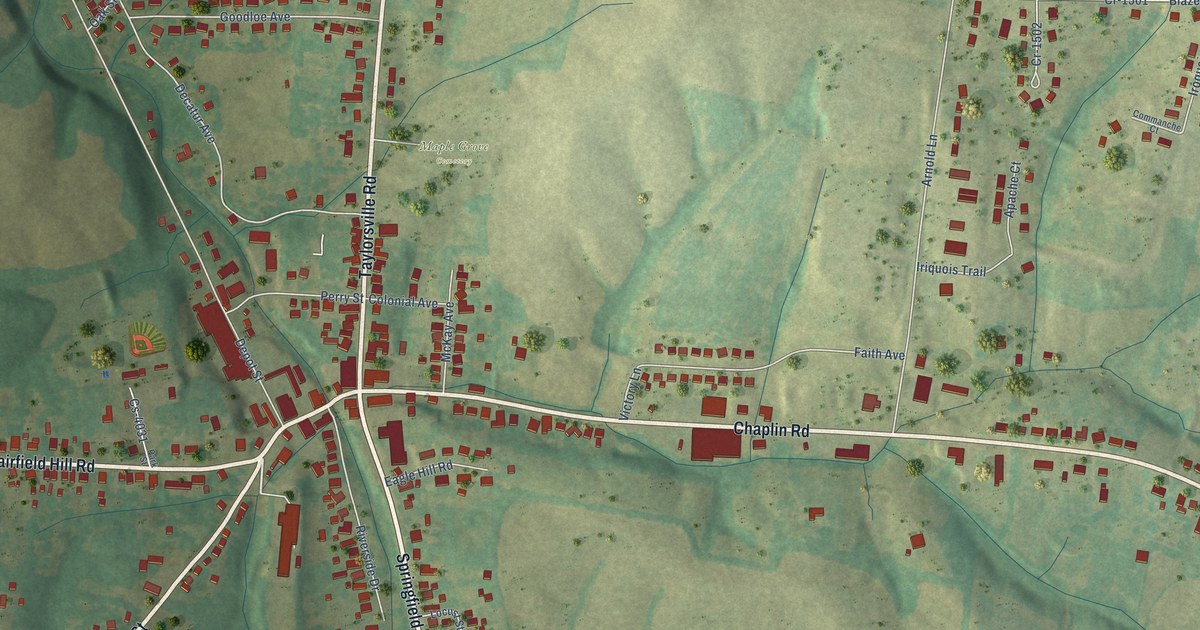
A detailed map of Bloomfield, Kentucky, showing every building in its true location, the roads by name, and shaded topographical relief.
Read More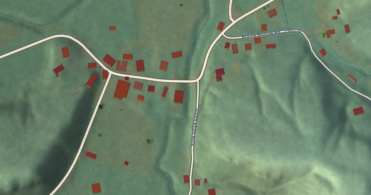
A detailed map of Blaine, Kentucky, showing every building in its true location, the roads by name, and shaded topographical relief.
Read More















