Detailed Map of Swift Trail Junction, Arizona
A detailed map of Swift Trail Junction, Arizona, showing every building in its true location, the roads by name, and shaded topographical relief.
Read More
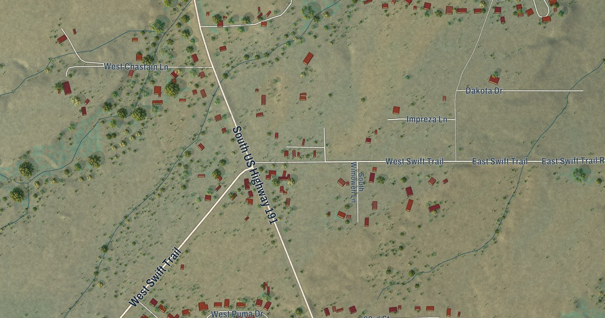
A detailed map of Swift Trail Junction, Arizona, showing every building in its true location, the roads by name, and shaded topographical relief.
Read More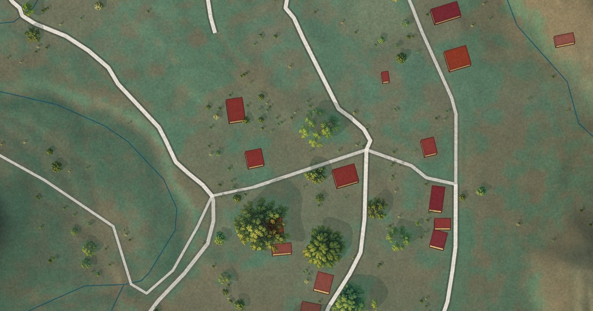
A detailed map of Supai, Arizona, showing every building in its true location, the roads by name, and shaded topographical relief.
Read More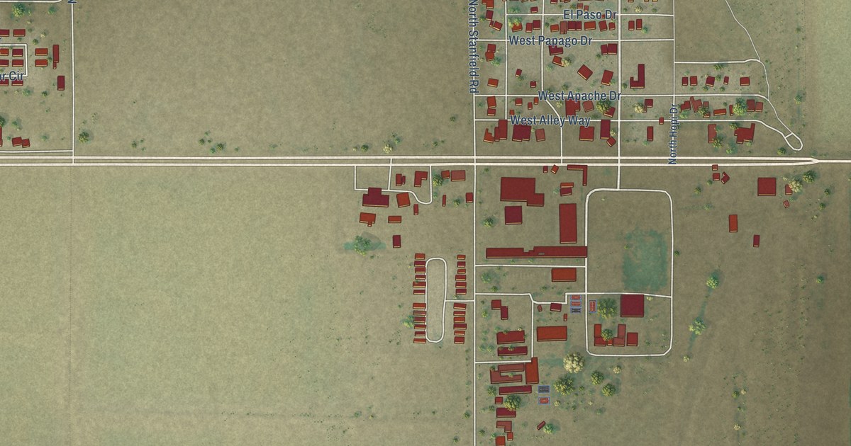
A detailed map of Stanfield, Arizona, showing every building in its true location, the roads by name, and shaded topographical relief.
Read More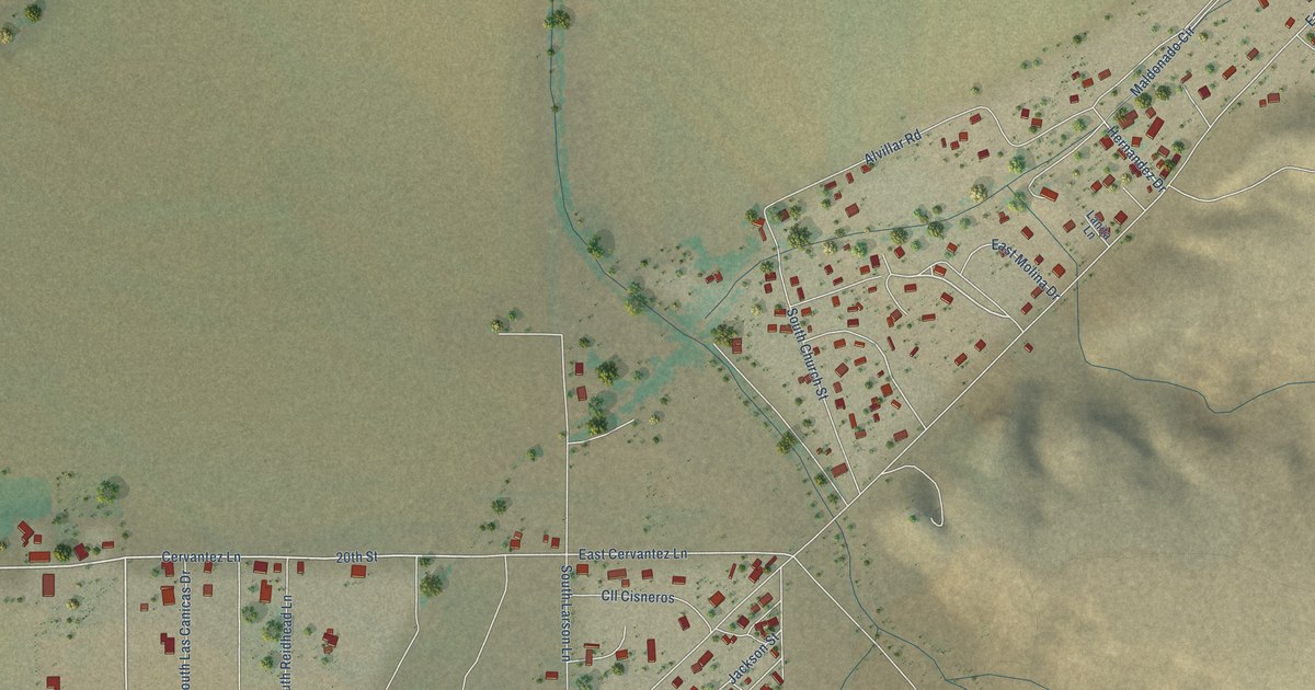
A detailed map of San Jose, Arizona, showing every building in its true location, the roads by name, and shaded topographical relief.
Read More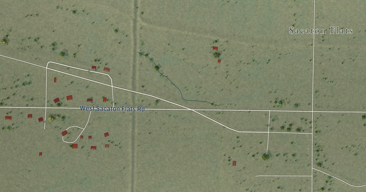
A detailed map of Sacaton Flats Village, Arizona, showing every building in its true location, the roads by name, and shaded topographical relief.
Read More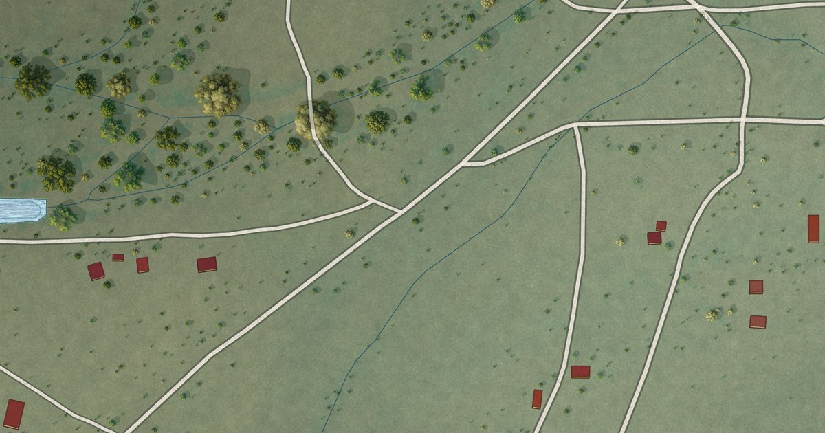
A detailed map of Nolic, Arizona, showing every building in its true location, the roads by name, and shaded topographical relief.
Read More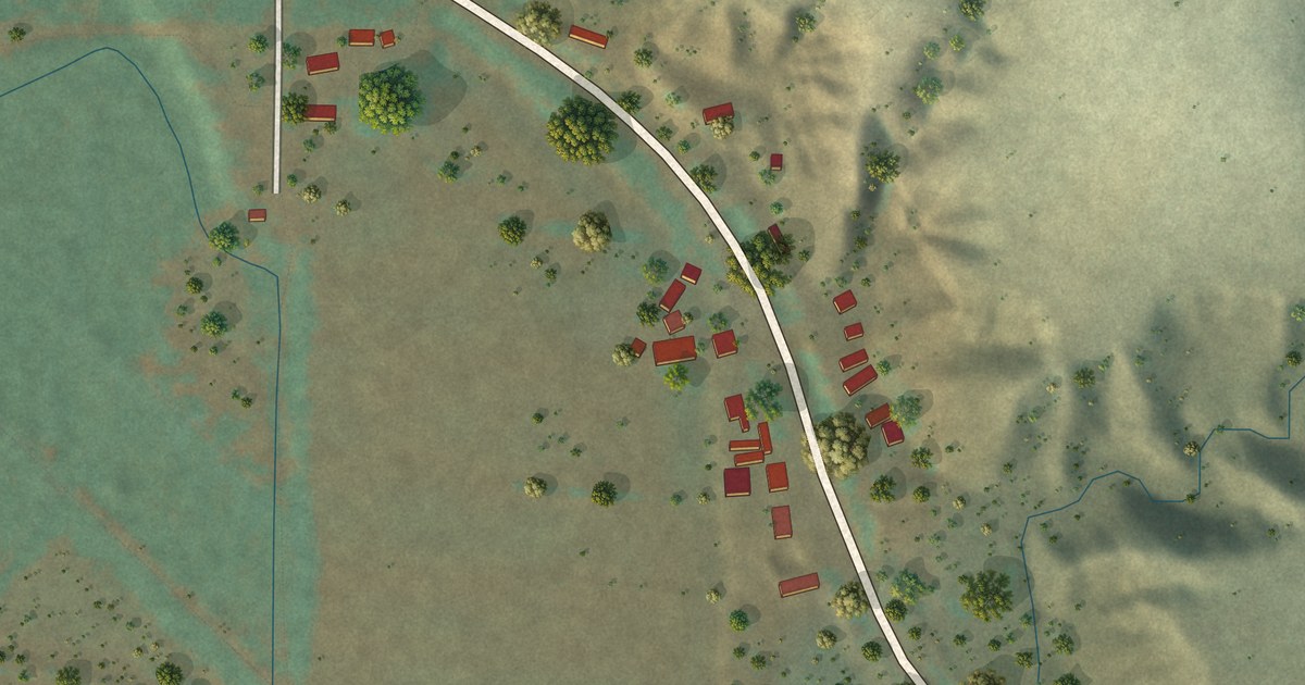
A detailed map of Rock House, Arizona, showing every building in its true location, the roads by name, and shaded topographical relief.
Read More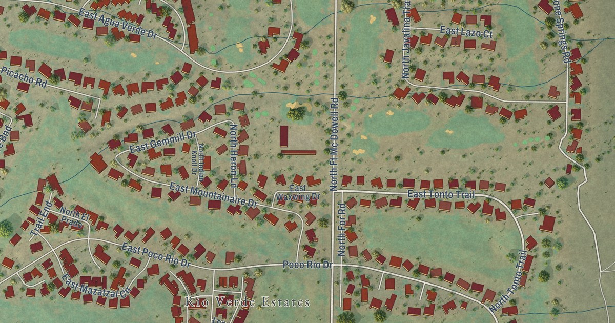
A detailed map of Rio Verde, Arizona, showing every building in its true location, the roads by name, and shaded topographical relief.
Read More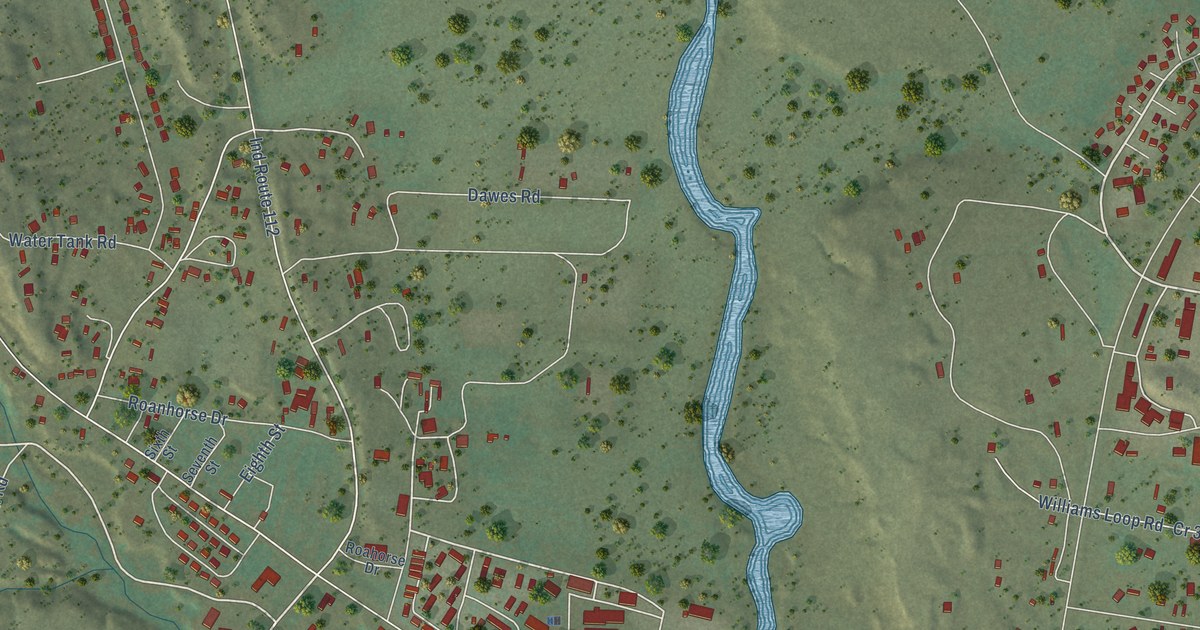
A detailed map of Fort Defiance, Arizona, showing every building in its true location, the roads by name, and shaded topographical relief.
Read More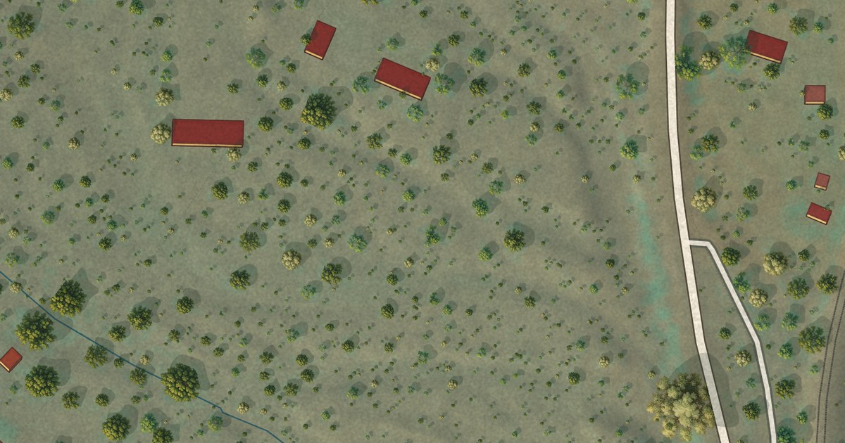
A detailed map of Crozier, Arizona, showing every building in its true location, the roads by name, and shaded topographical relief.
Read More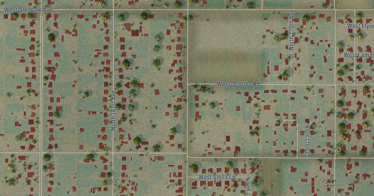
A detailed map of Citrus Park, Arizona, showing every building in its true location, the roads by name, and shaded topographical relief.
Read More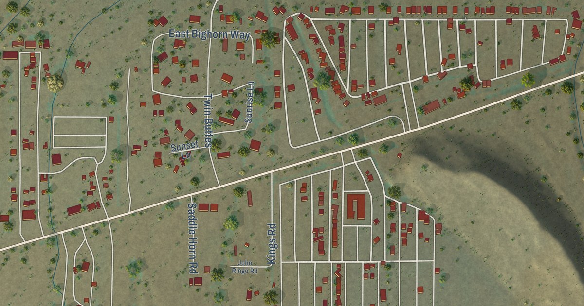
A detailed map of Brenda, Arizona, showing every building in its true location, the roads by name, and shaded topographical relief.
Read More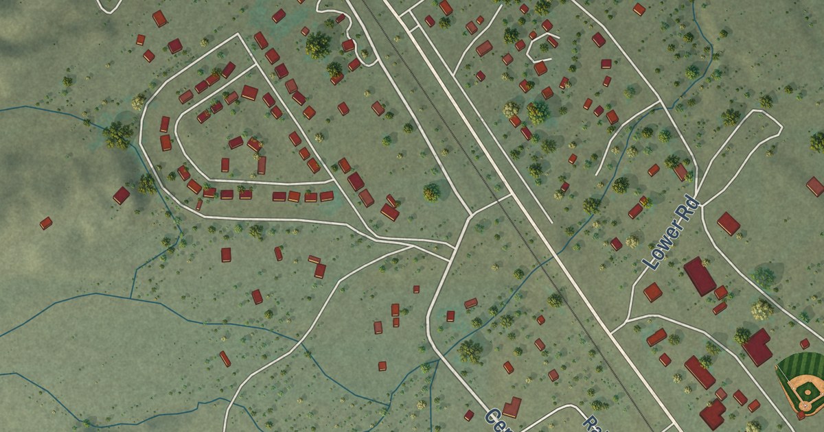
A detailed map of Bylas, Arizona, showing every building in its true location, the roads by name, and shaded topographical relief.
Read More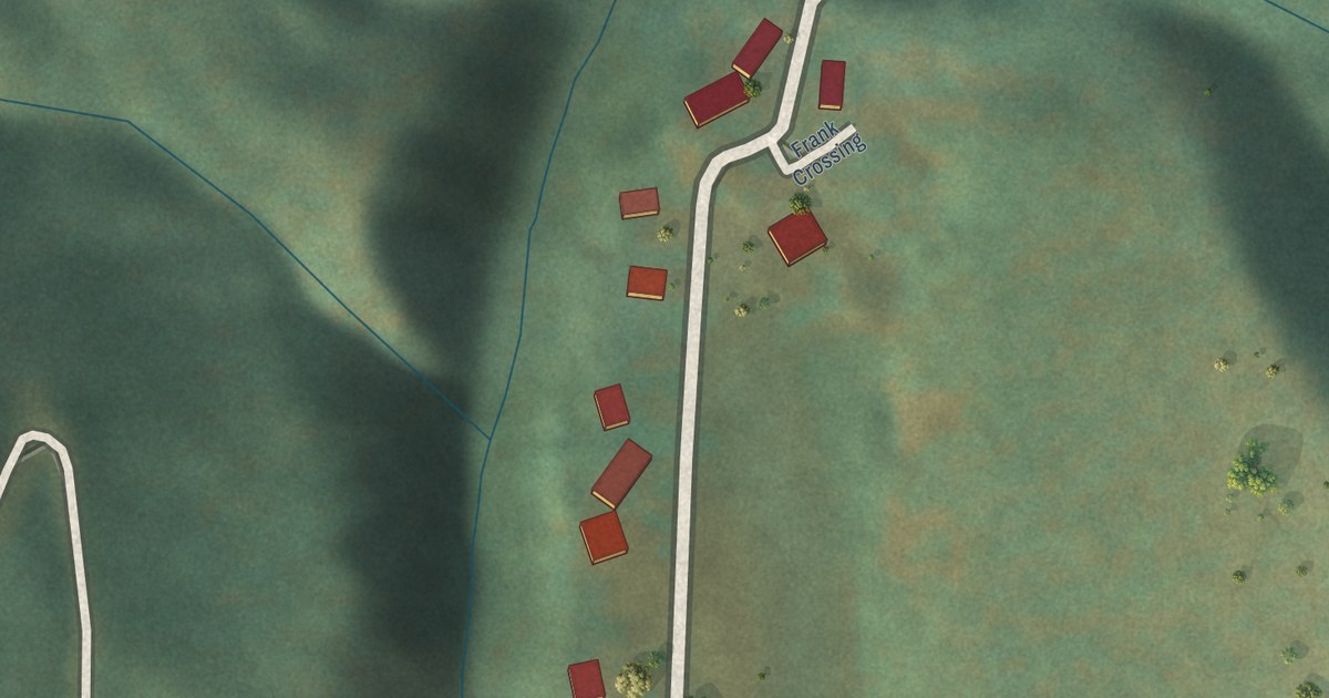
A detailed map of Bear Flat, Arizona, showing every building in its true location, the roads by name, and shaded topographical relief.
Read More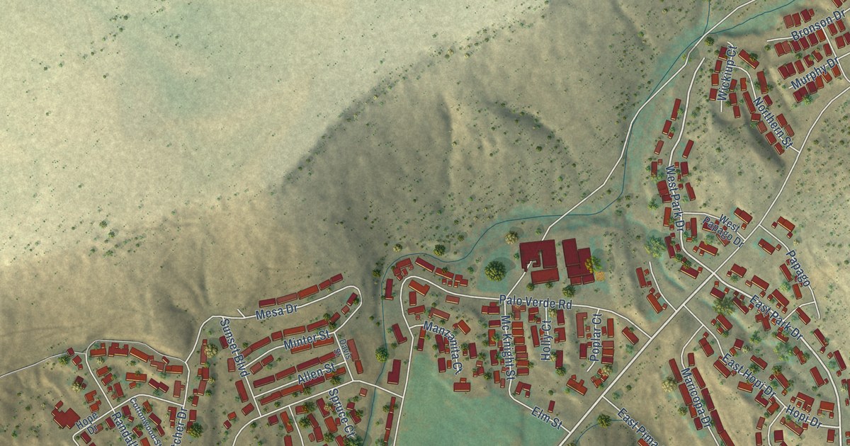
A detailed map of Bagdad, Arizona, showing every building in its true location, the roads by name, and shaded topographical relief.
Read More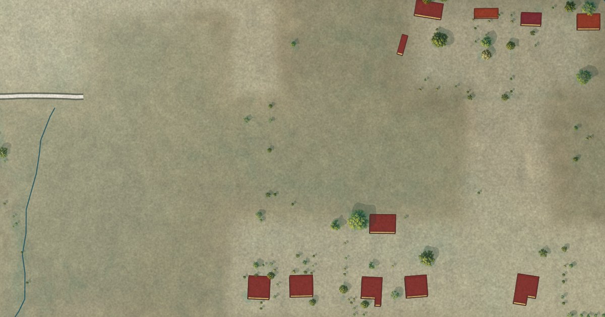
A detailed map of Wintersburg, Arizona, showing every building in its true location, the roads by name, and shaded topographical relief.
Read More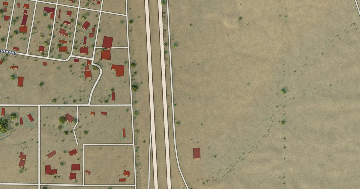
A detailed map of Yucca, Arizona, showing every building in its true location, the roads by name, and shaded topographical relief.
Read More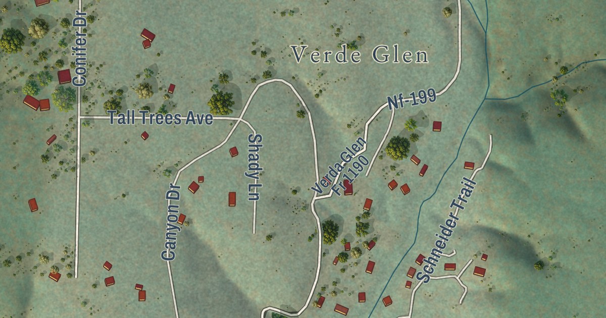
A detailed map of Washington Park, Arizona, showing every building in its true location, the roads by name, and shaded topographical relief.
Read More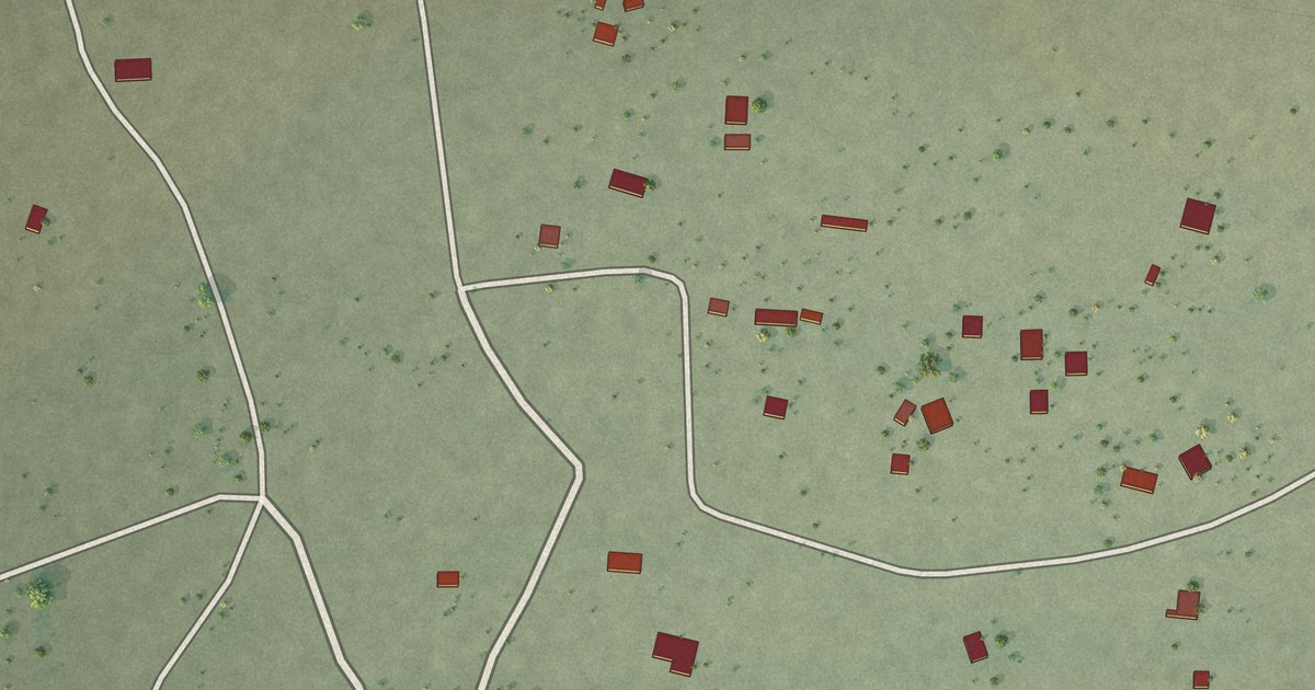
A detailed map of Wahak Hotrontk, Arizona, showing every building in its true location, the roads by name, and shaded topographical relief.
Read More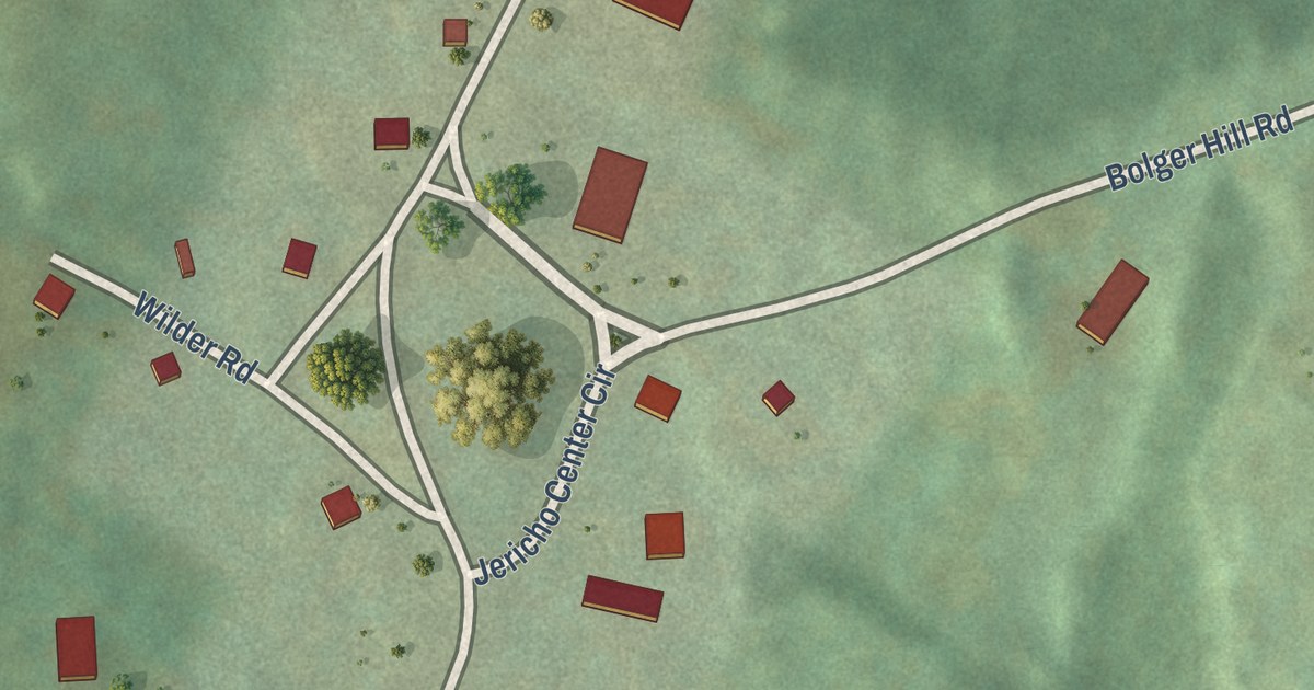
A detailed map of Jericho Center, Vermont, showing every building in its true location, the roads by name, and shaded topographical relief.
Read More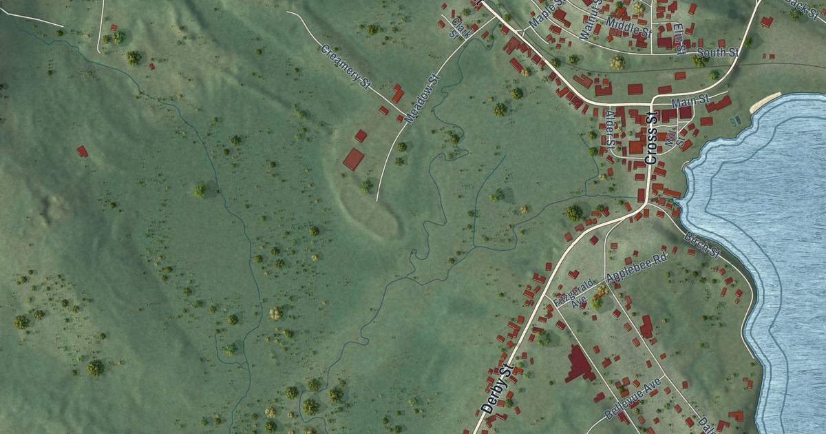
A detailed map of Island Pond, Vermont, showing every building in its true location, the roads by name, and shaded topographical relief.
Read More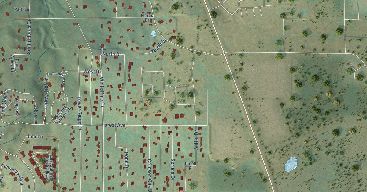
A detailed map of Wagon Wheel, Arizona, showing every building in its true location, the roads by name, and shaded topographical relief.
Read More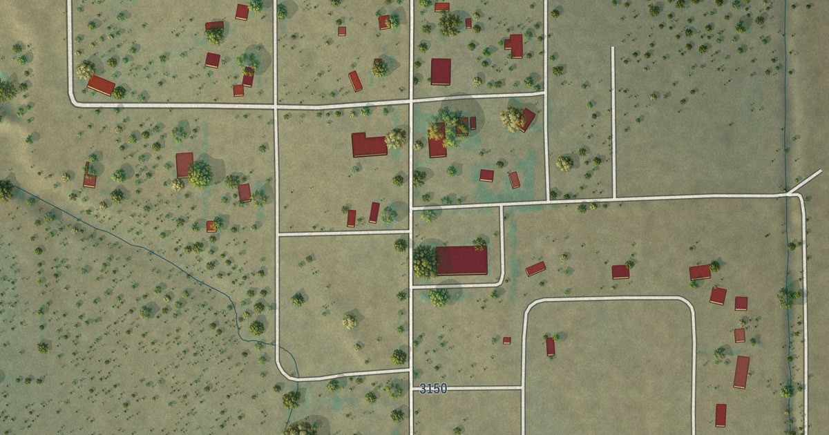
A detailed map of Vernon, Arizona, showing every building in its true location, the roads by name, and shaded topographical relief.
Read More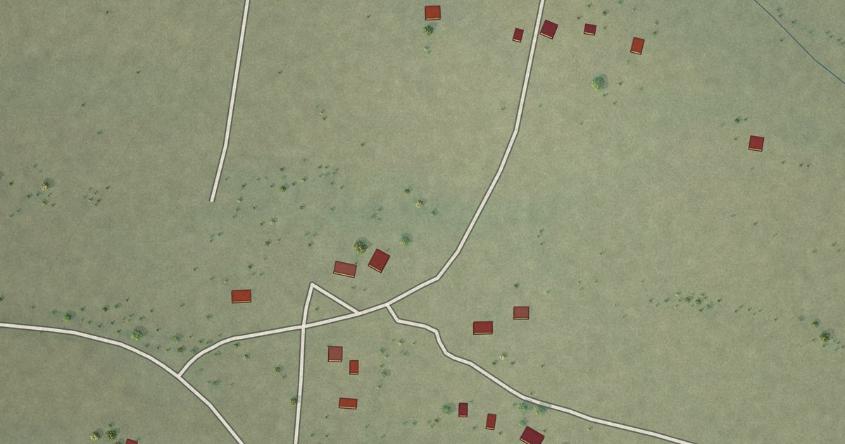
A detailed map of Ventana, Arizona, showing every building in its true location, the roads by name, and shaded topographical relief.
Read More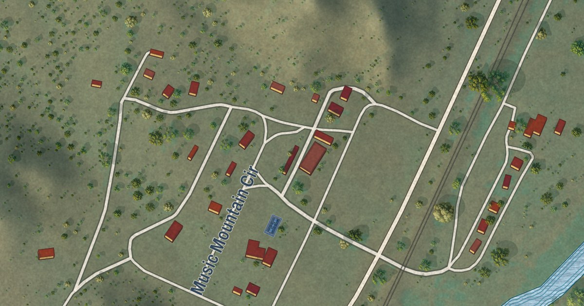
A detailed map of Valentine, Arizona, showing every building in its true location, the roads by name, and shaded topographical relief.
Read More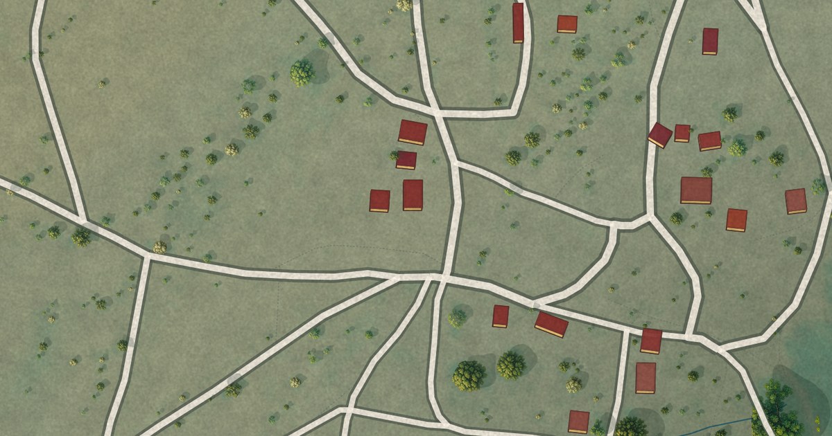
A detailed map of Vaiva Vo, Arizona, showing every building in its true location, the roads by name, and shaded topographical relief.
Read More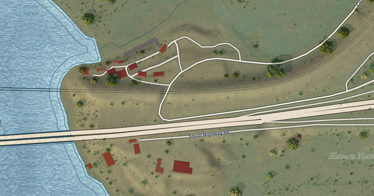
A detailed map of Topock, Arizona, showing every building in its true location, the roads by name, and shaded topographical relief.
Read More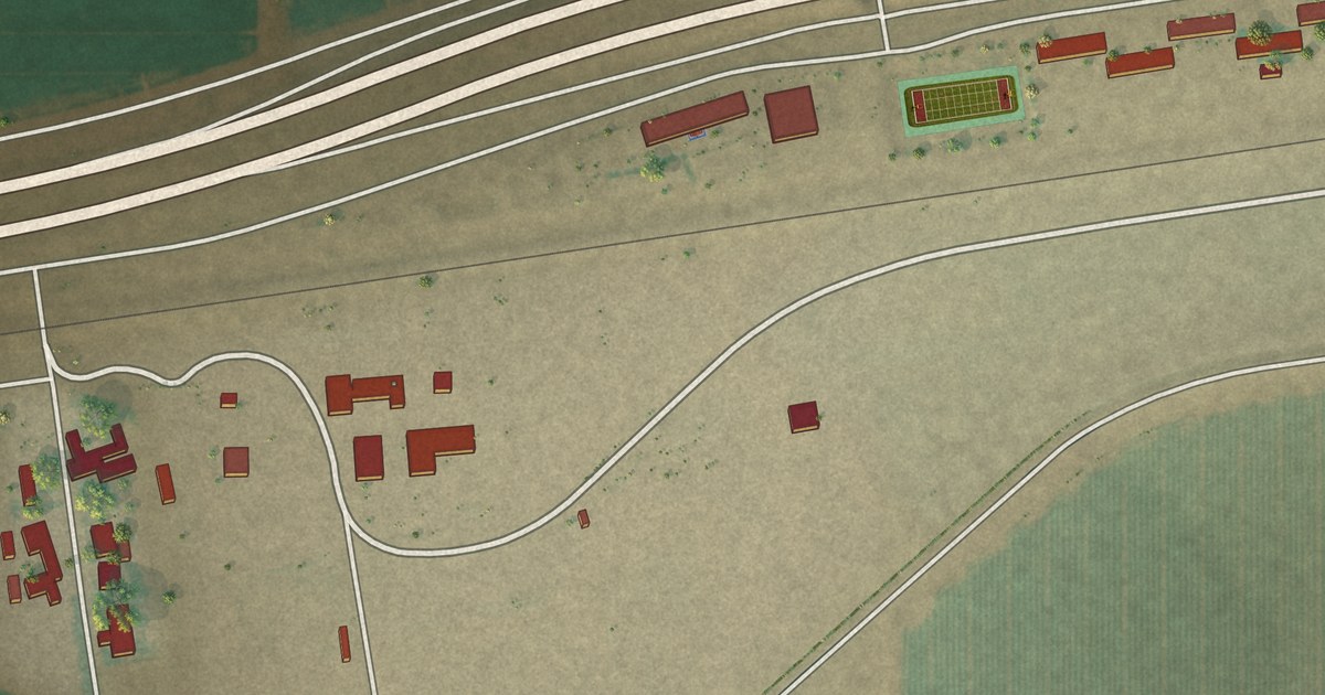
A detailed map of Theba, Arizona, showing every building in its true location, the roads by name, and shaded topographical relief.
Read More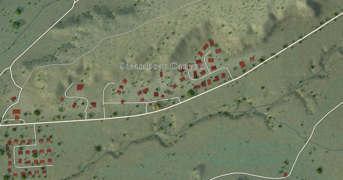
A detailed map of Steamboat, Arizona, showing every building in its true location, the roads by name, and shaded topographical relief.
Read More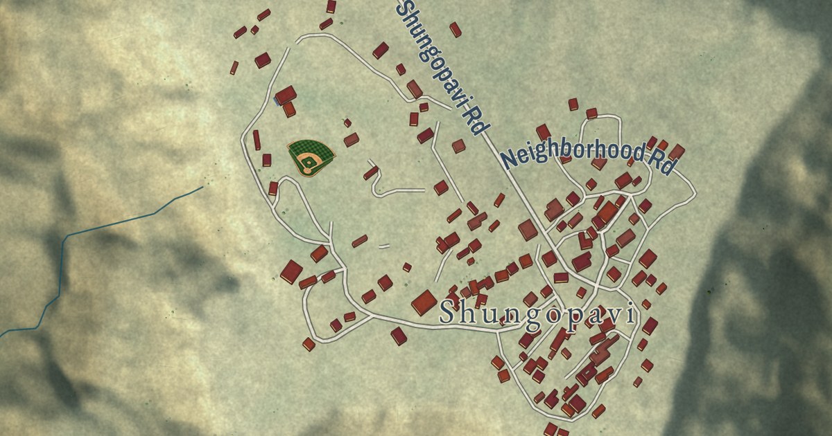
A detailed map of Shongopovi, Arizona, showing every building in its true location, the roads by name, and shaded topographical relief.
Read More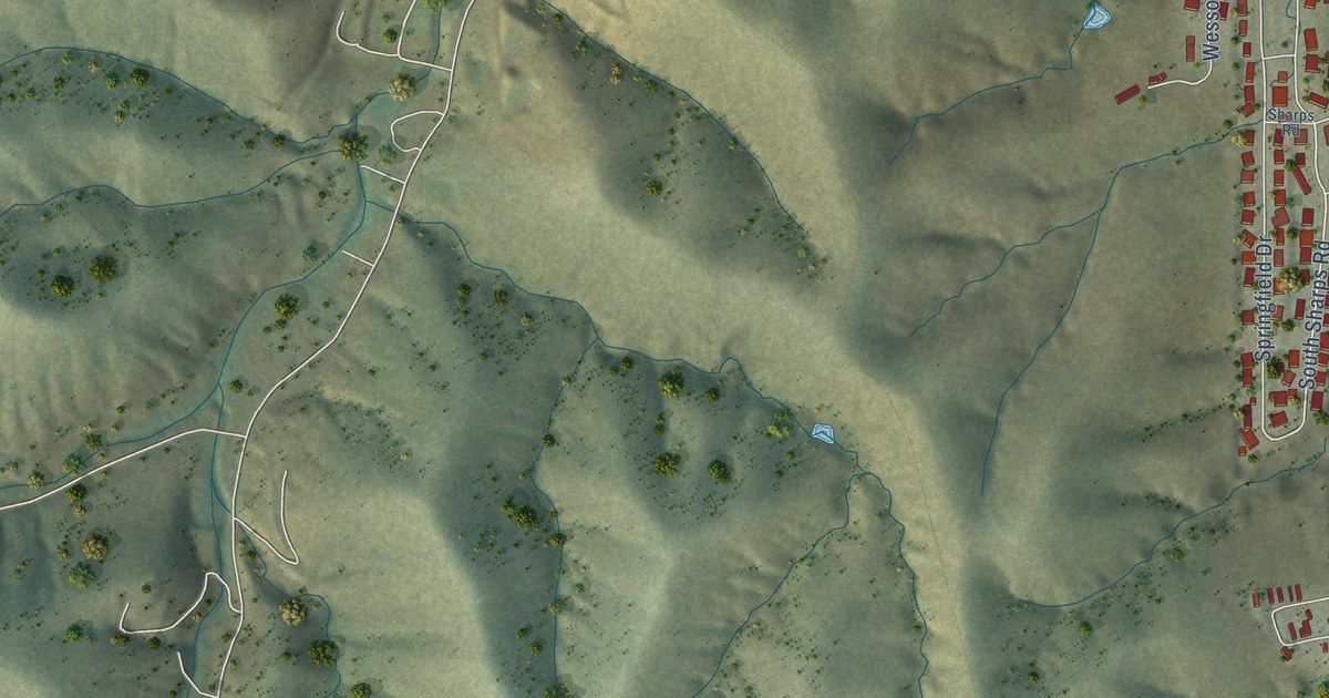
A detailed map of Six Shooter Canyon, Arizona, showing every building in its true location, the roads by name, and shaded topographical relief.
Read More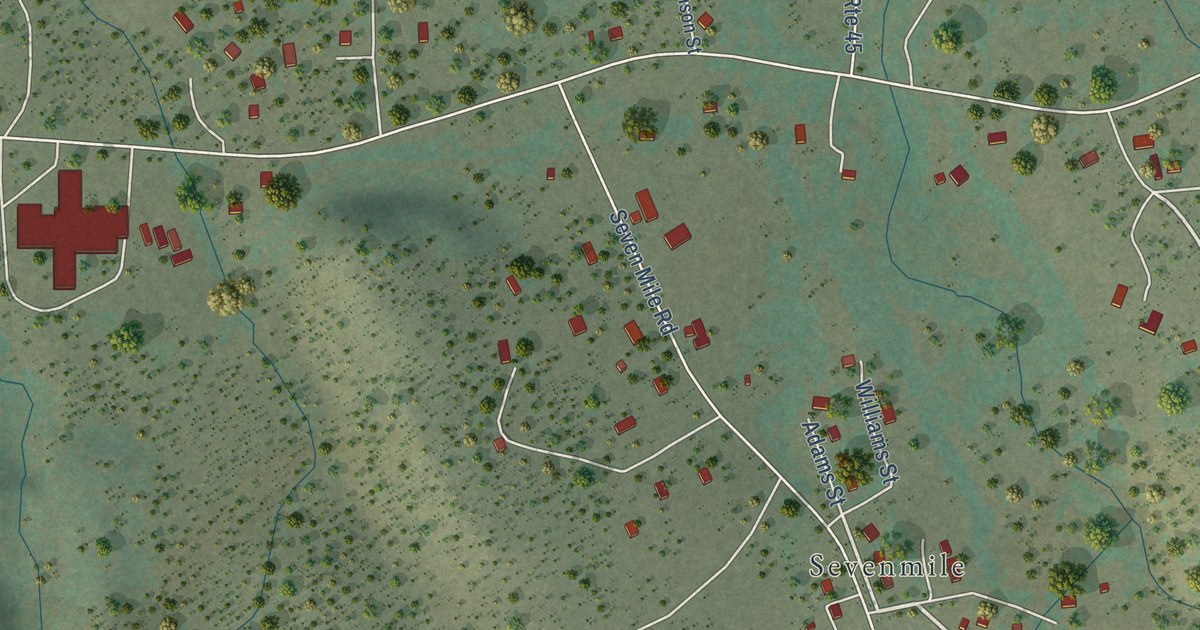
A detailed map of Seven Mile, Arizona, showing every building in its true location, the roads by name, and shaded topographical relief.
Read More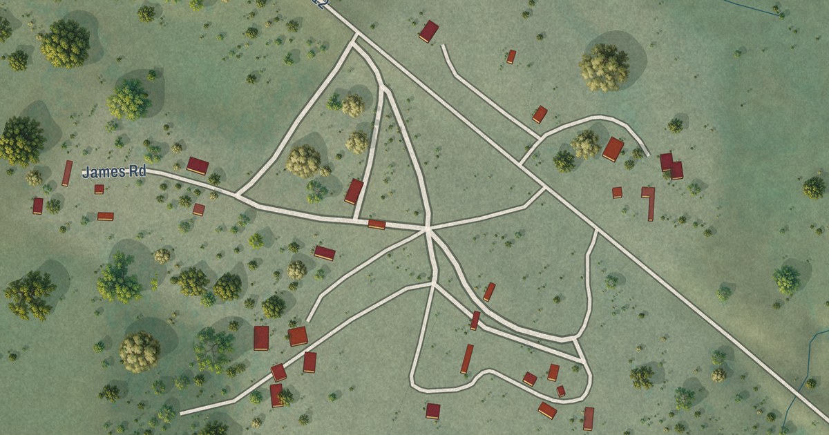
A detailed map of Sehili, Arizona, showing every building in its true location, the roads by name, and shaded topographical relief.
Read More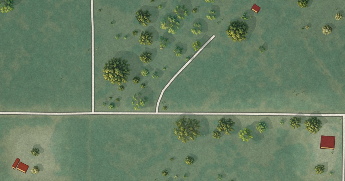
A detailed map of Santa Cruz, Arizona, showing every building in its true location, the roads by name, and shaded topographical relief.
Read More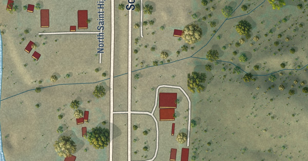
A detailed map of Rye, Arizona, showing every building in its true location, the roads by name, and shaded topographical relief.
Read More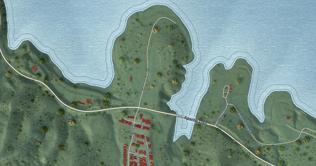
A detailed map of Roosevelt, Arizona, showing every building in its true location, the roads by name, and shaded topographical relief.
Read More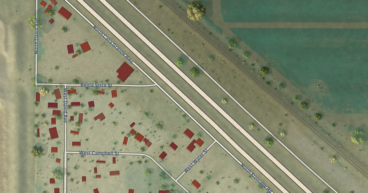
A detailed map of Rillito, Arizona, showing every building in its true location, the roads by name, and shaded topographical relief.
Read More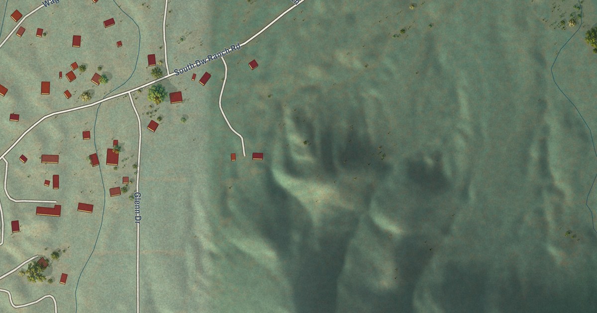
A detailed map of Pinion Pines, Arizona, showing every building in its true location, the roads by name, and shaded topographical relief.
Read More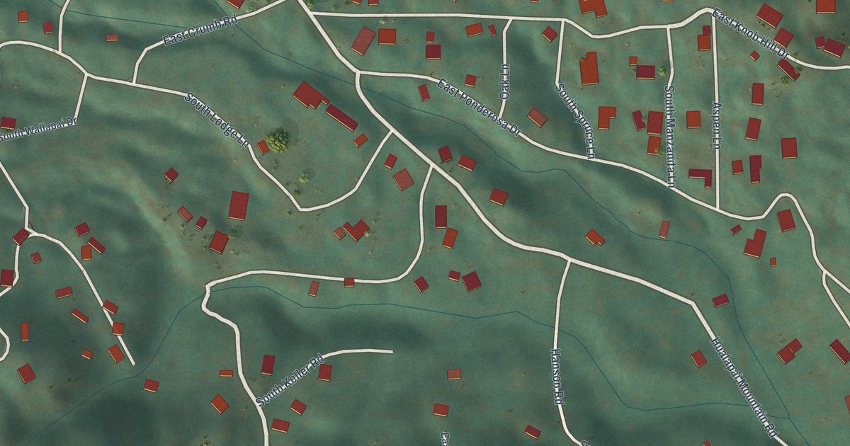
A detailed map of Pine Lake, Arizona, showing every building in its true location, the roads by name, and shaded topographical relief.
Read More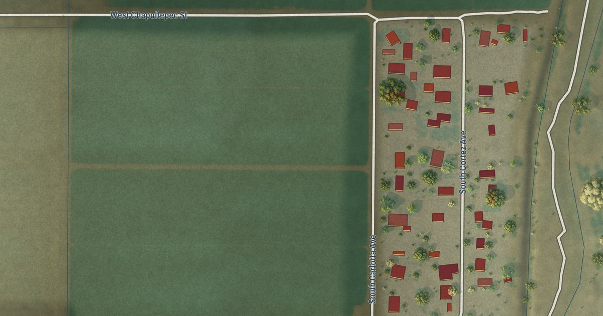
A detailed map of Padre Ranchitos, Arizona, showing every building in its true location, the roads by name, and shaded topographical relief.
Read More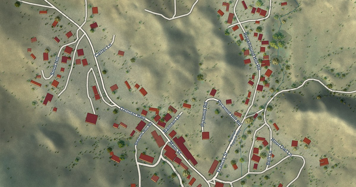
A detailed map of Oatman, Arizona, showing every building in its true location, the roads by name, and shaded topographical relief.
Read More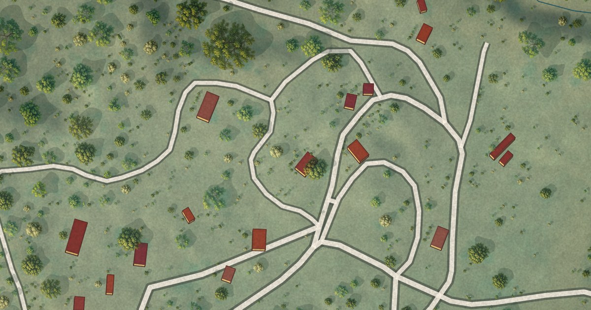
A detailed map of Oak Springs, Arizona, showing every building in its true location, the roads by name, and shaded topographical relief.
Read More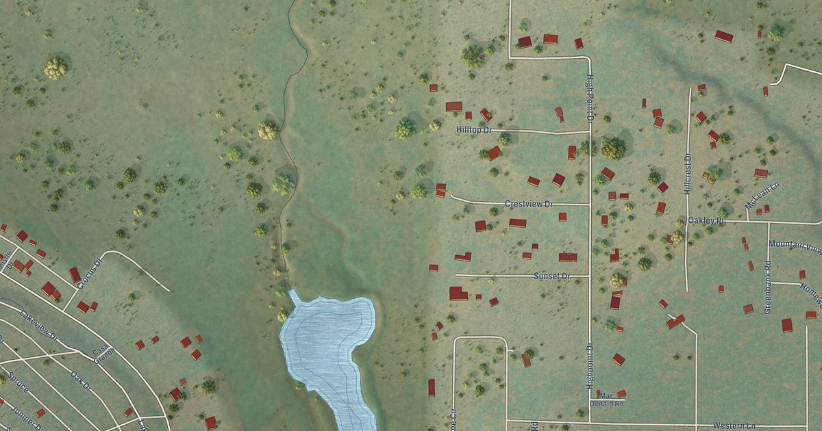
A detailed map of Mormon Lake, Arizona, showing every building in its true location, the roads by name, and shaded topographical relief.
Read More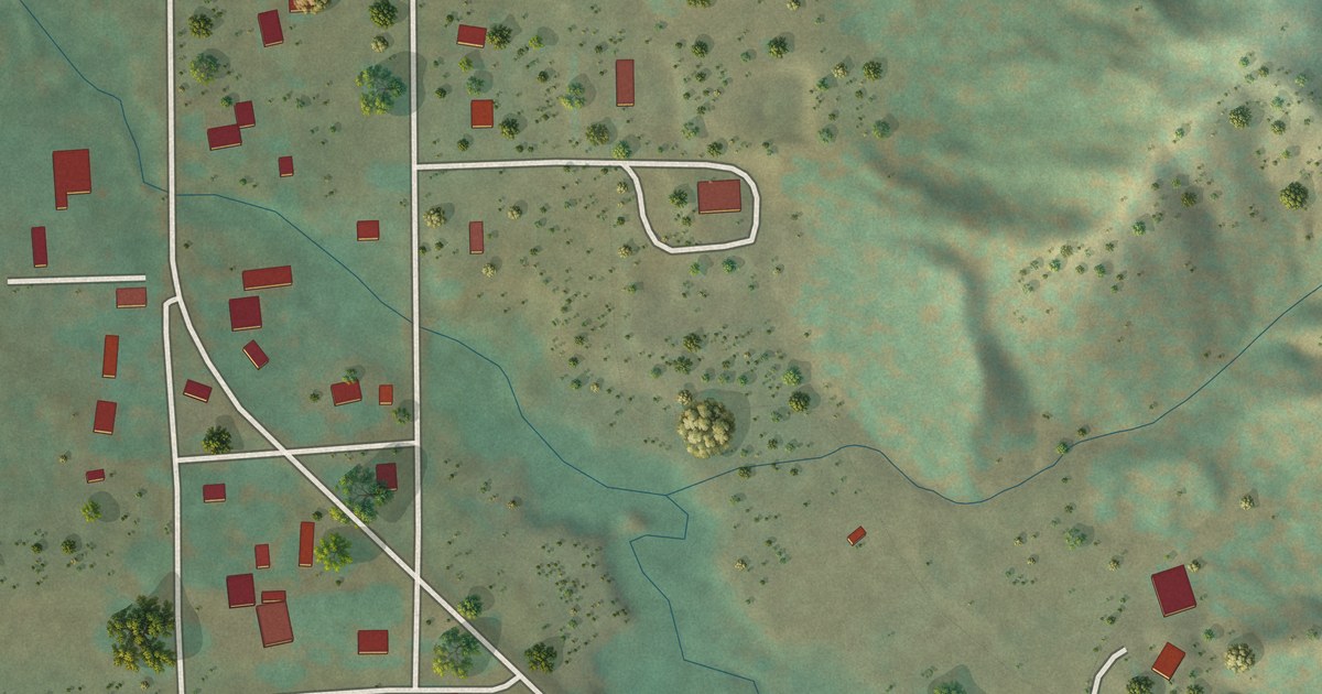
A detailed map of Nutrioso, Arizona, showing every building in its true location, the roads by name, and shaded topographical relief.
Read More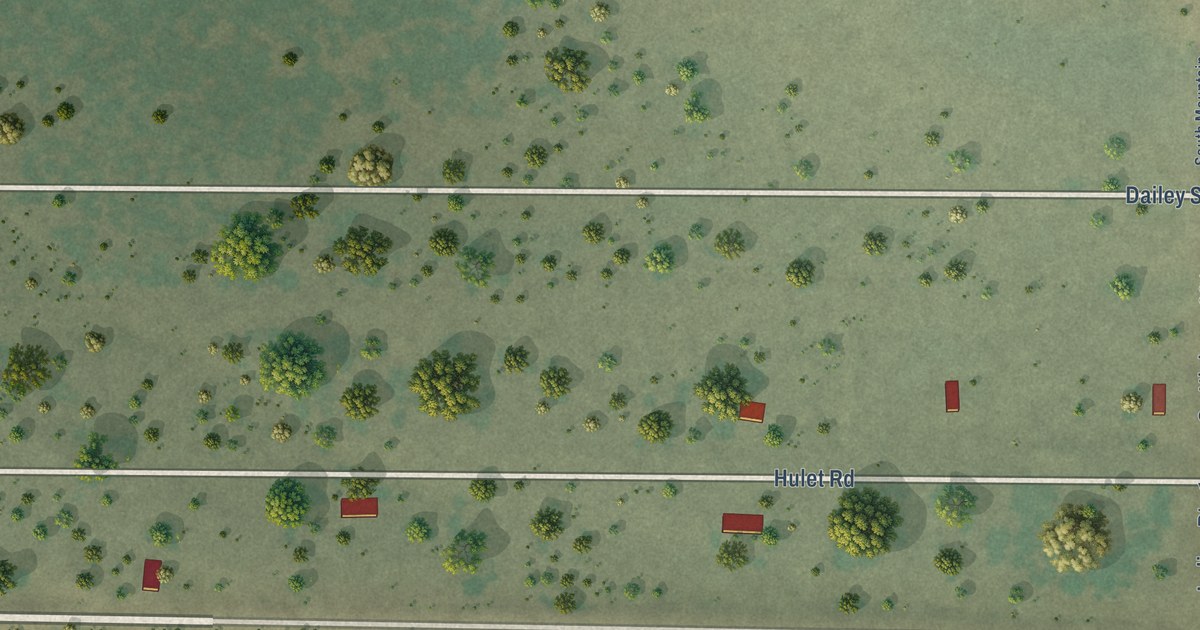
A detailed map of Mojave Ranch Estates, Arizona, showing every building in its true location, the roads by name, and shaded topographical relief.
Read More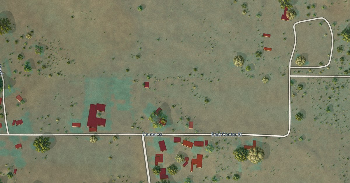
A detailed map of Moccasin, Arizona, showing every building in its true location, the roads by name, and shaded topographical relief.
Read More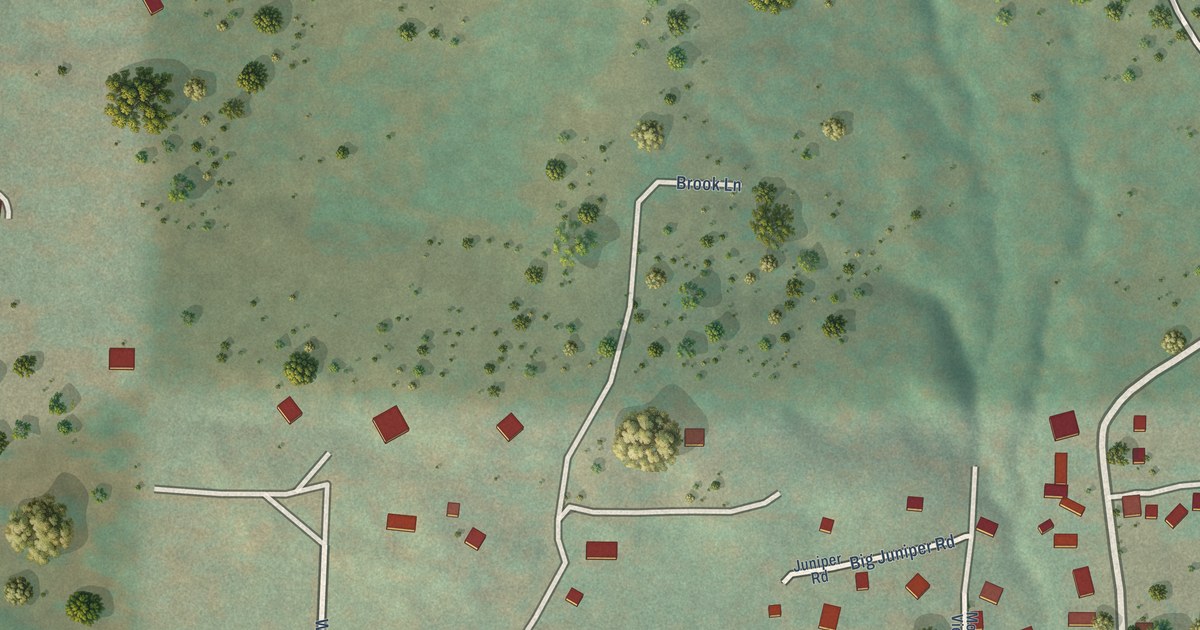
A detailed map of Mead Ranch, Arizona, showing every building in its true location, the roads by name, and shaded topographical relief.
Read More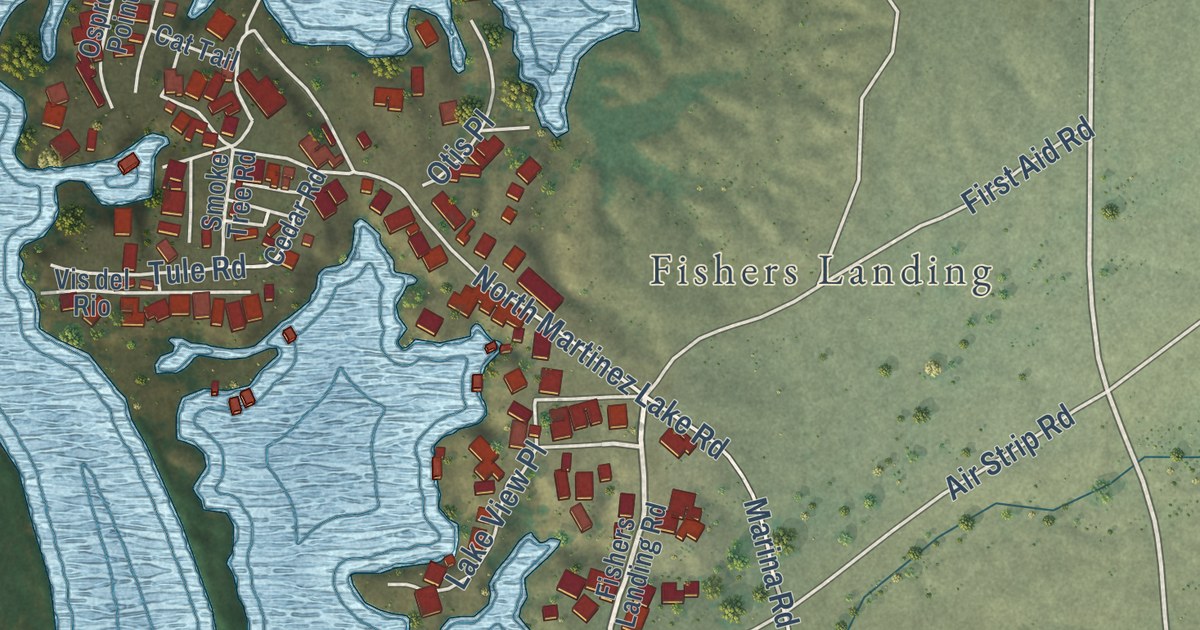
A detailed map of Martinez Lake, Arizona, showing every building in its true location, the roads by name, and shaded topographical relief.
Read More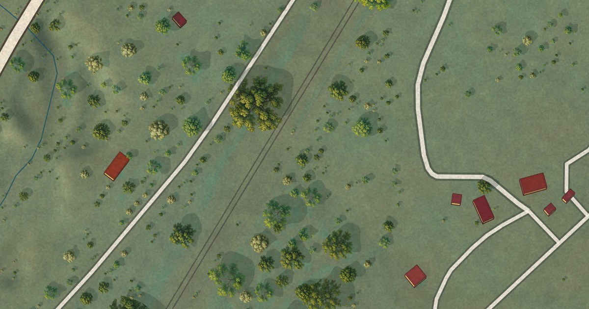
A detailed map of Lupton, Arizona, showing every building in its true location, the roads by name, and shaded topographical relief.
Read More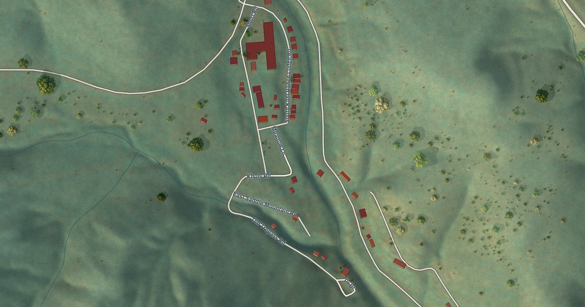
A detailed map of Kohls Ranch, Arizona, showing every building in its true location, the roads by name, and shaded topographical relief.
Read More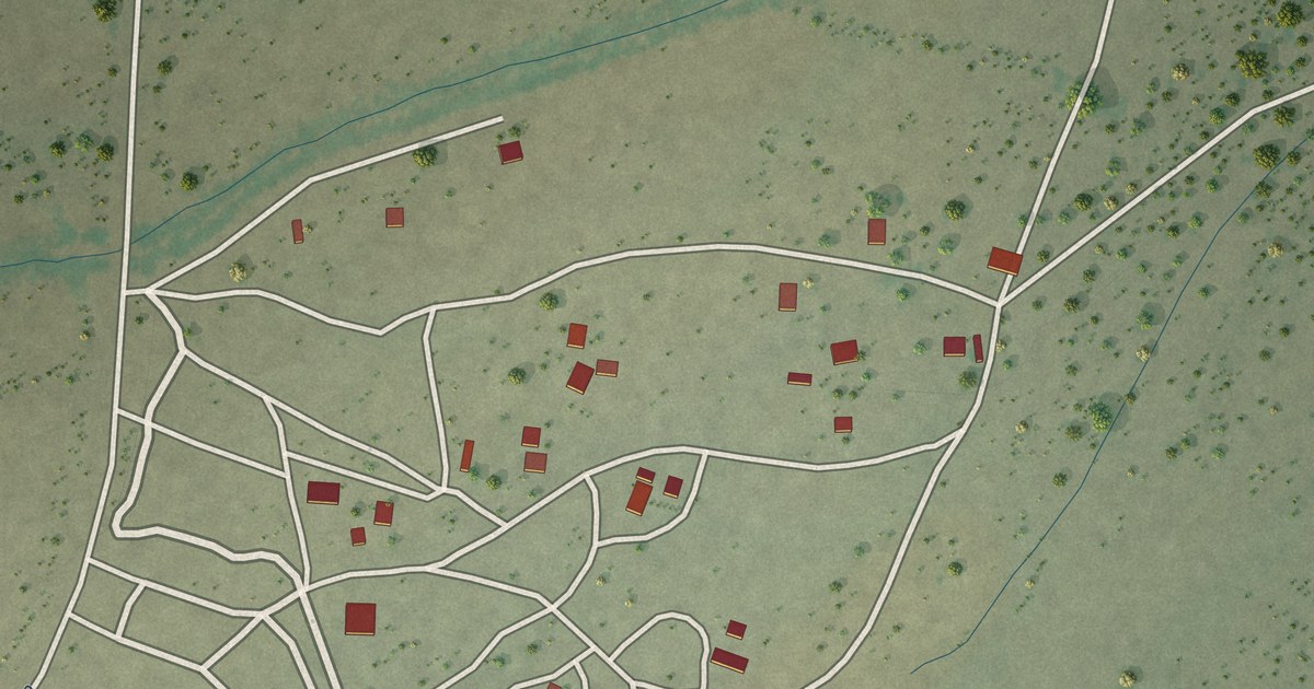
A detailed map of Kohatk, Arizona, showing every building in its true location, the roads by name, and shaded topographical relief.
Read More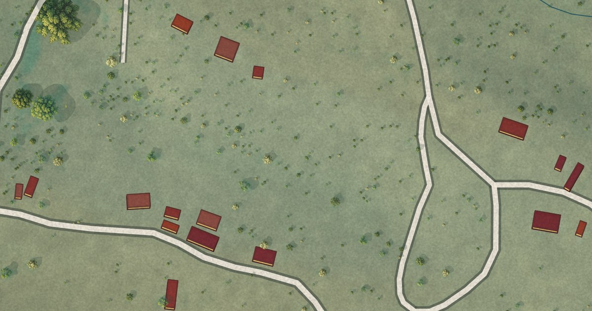
A detailed map of Ko Vaya, Arizona, showing every building in its true location, the roads by name, and shaded topographical relief.
Read More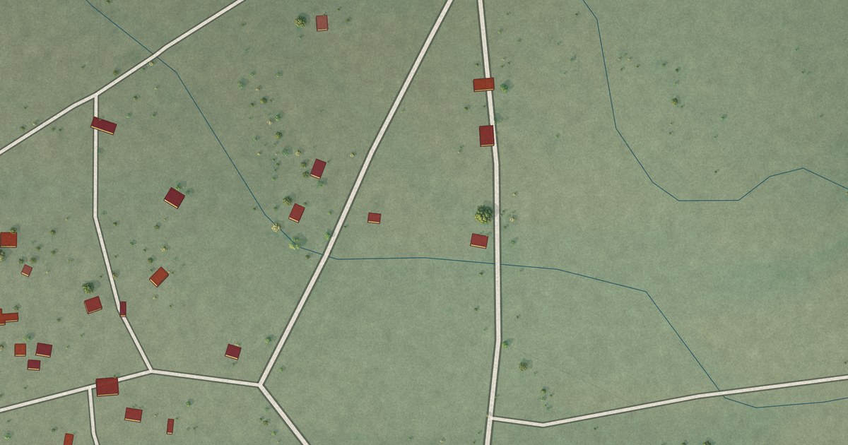
A detailed map of Kaka, Arizona, showing every building in its true location, the roads by name, and shaded topographical relief.
Read More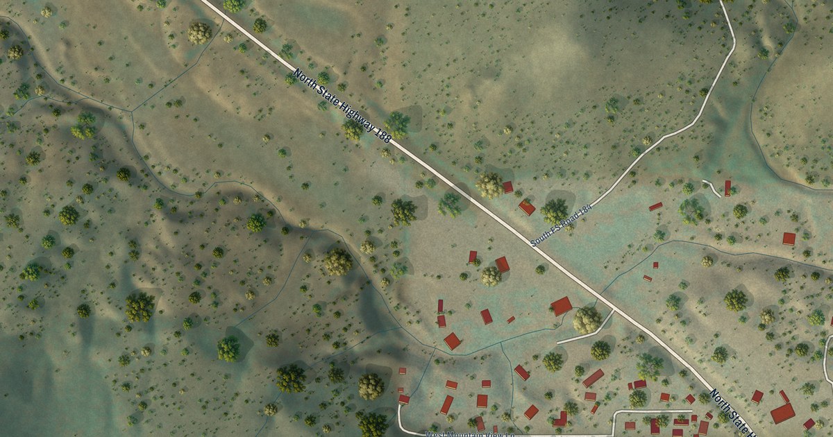
A detailed map of Jakes Corner, Arizona, showing every building in its true location, the roads by name, and shaded topographical relief.
Read More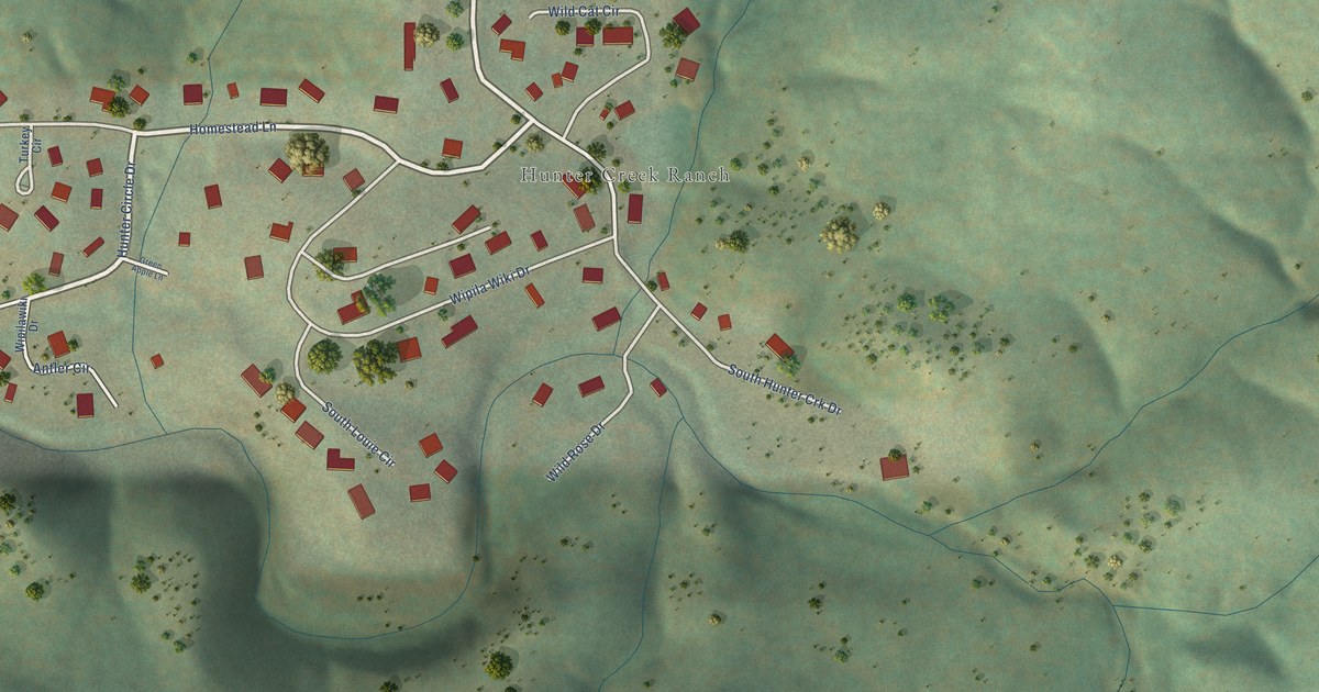
A detailed map of Hunter Creek, Arizona, showing every building in its true location, the roads by name, and shaded topographical relief.
Read More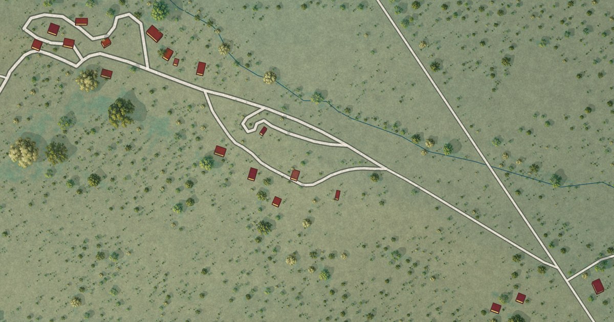
A detailed map of Haivana Nakya, Arizona, showing every building in its true location, the roads by name, and shaded topographical relief.
Read More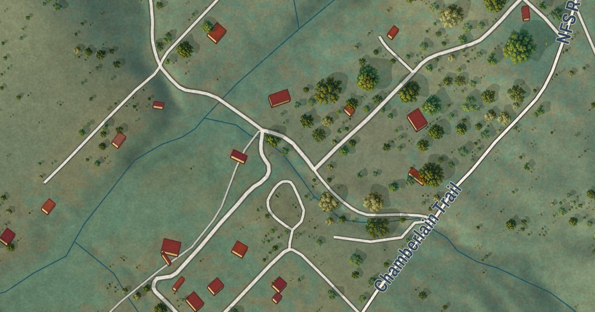
A detailed map of Haigler Creek, Arizona, showing every building in its true location, the roads by name, and shaded topographical relief.
Read More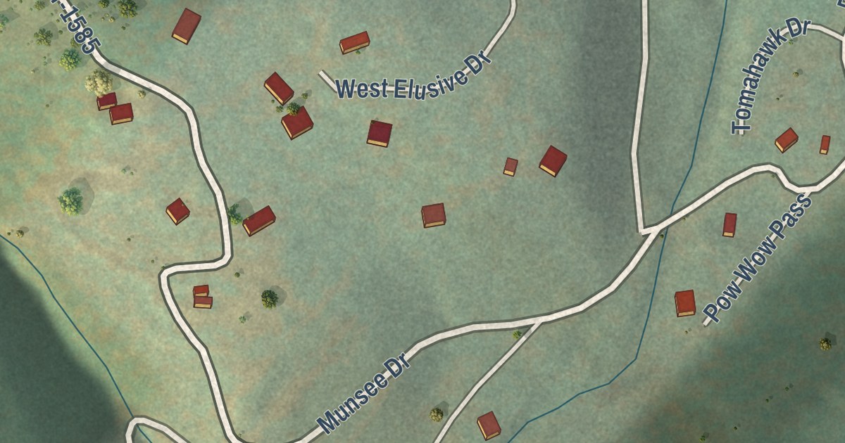
A detailed map of Geronimo Estates, Arizona, showing every building in its true location, the roads by name, and shaded topographical relief.
Read More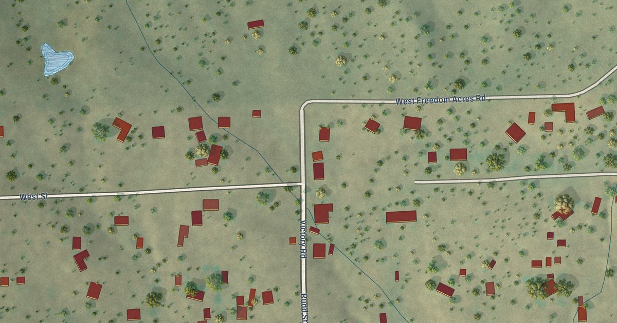
A detailed map of Freedom Acres, Arizona, showing every building in its true location, the roads by name, and shaded topographical relief.
Read More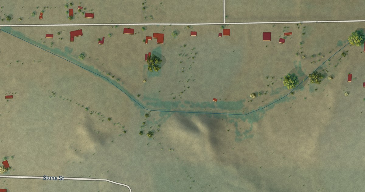
A detailed map of Franklin, Arizona, showing every building in its true location, the roads by name, and shaded topographical relief.
Read More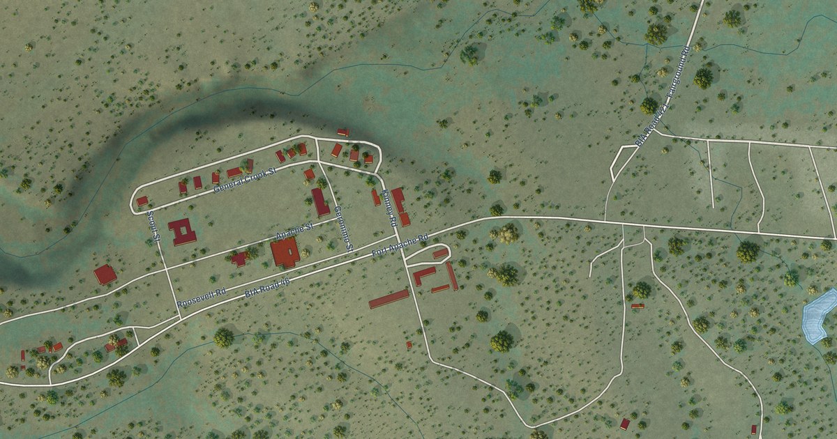
A detailed map of Fort Apache, Arizona, showing every building in its true location, the roads by name, and shaded topographical relief.
Read More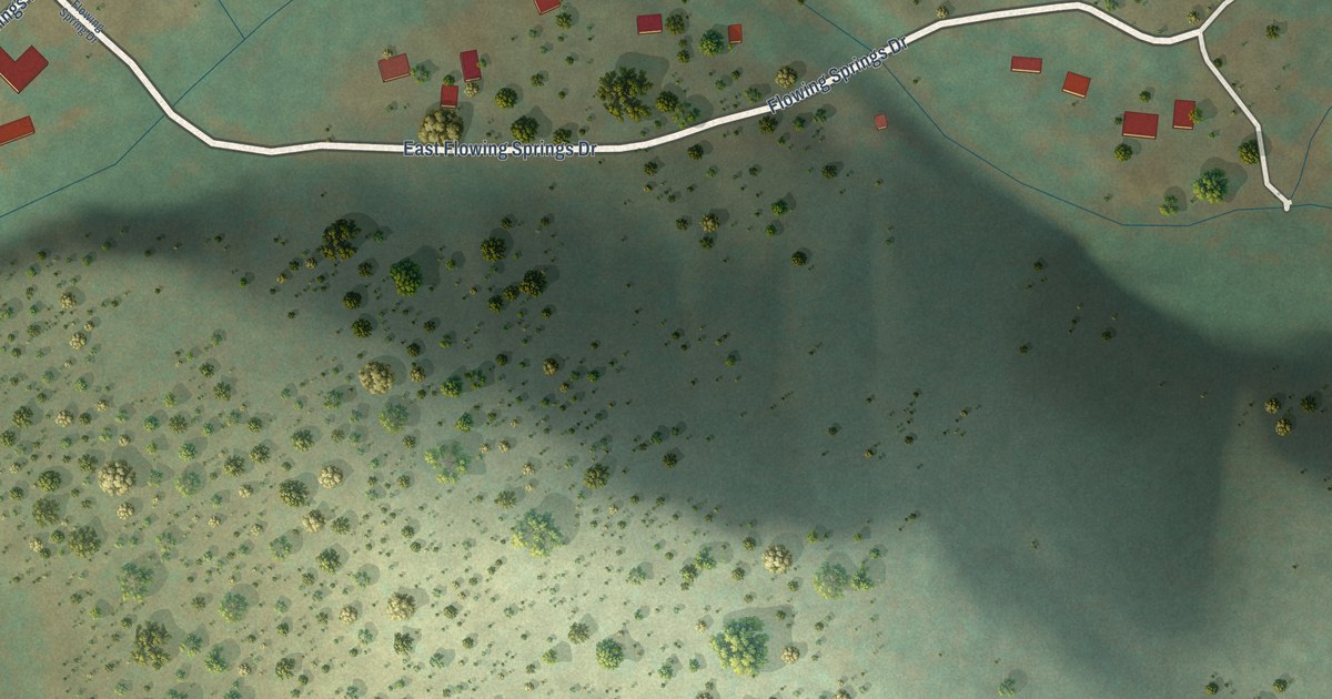
A detailed map of Flowing Springs, Arizona, showing every building in its true location, the roads by name, and shaded topographical relief.
Read More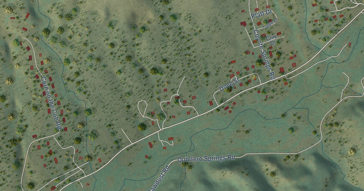
A detailed map of East Fork, Arizona, showing every building in its true location, the roads by name, and shaded topographical relief.
Read More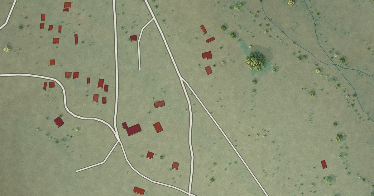
A detailed map of Cowlic, Arizona, showing every building in its true location, the roads by name, and shaded topographical relief.
Read More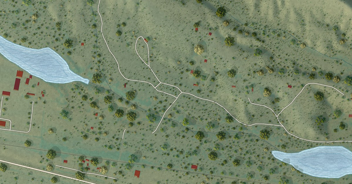
A detailed map of Cutter, Arizona, showing every building in its true location, the roads by name, and shaded topographical relief.
Read More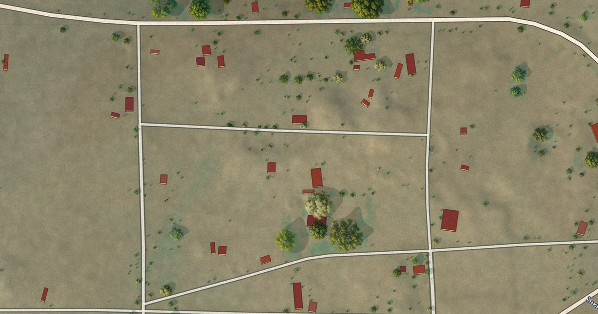
A detailed map of Concho, Arizona, showing every building in its true location, the roads by name, and shaded topographical relief.
Read More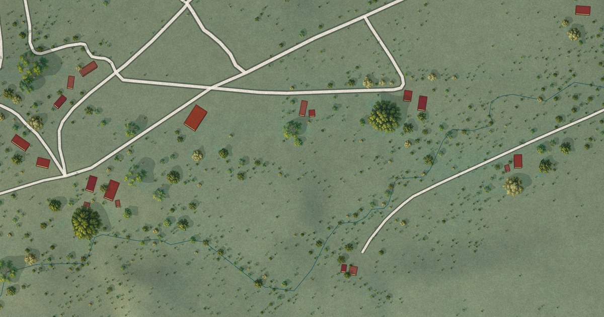
A detailed map of Comobabi, Arizona, showing every building in its true location, the roads by name, and shaded topographical relief.
Read More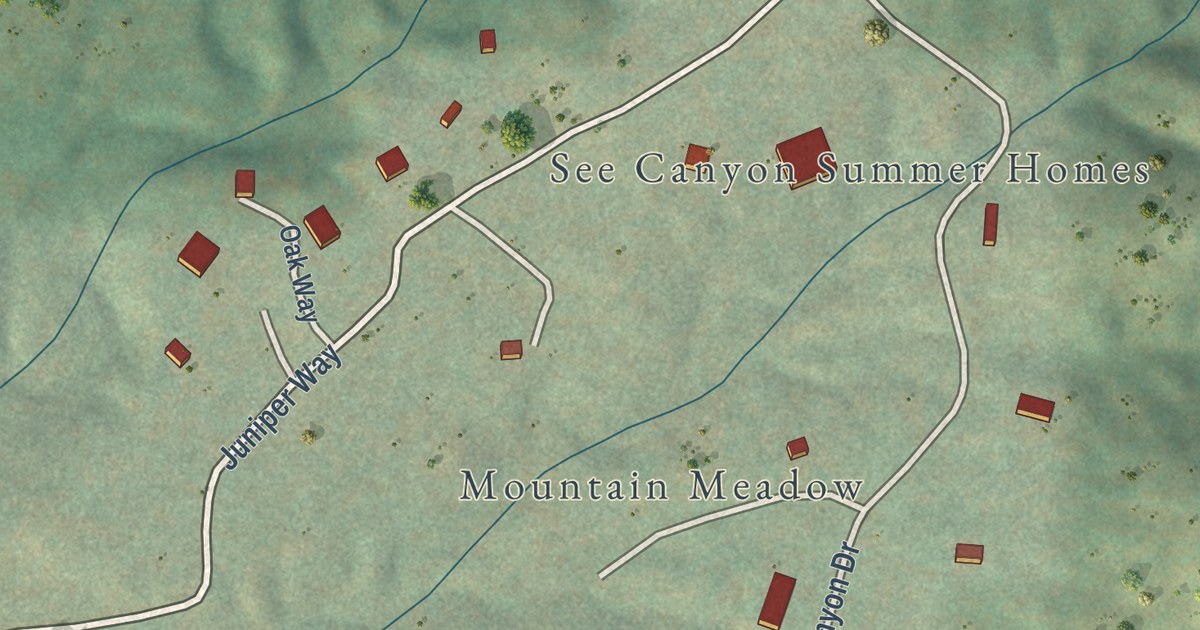
A detailed map of Christopher Creek, Arizona, showing every building in its true location, the roads by name, and shaded topographical relief.
Read More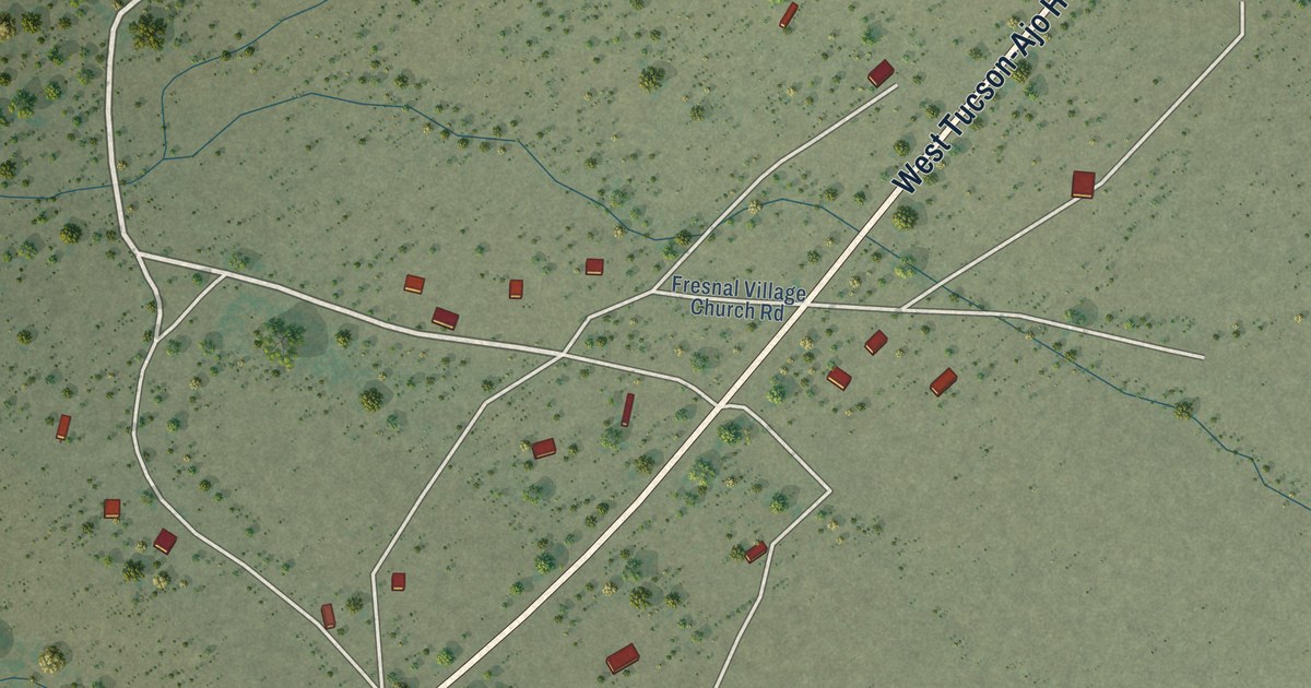
A detailed map of Chiawuli Tak, Arizona, showing every building in its true location, the roads by name, and shaded topographical relief.
Read More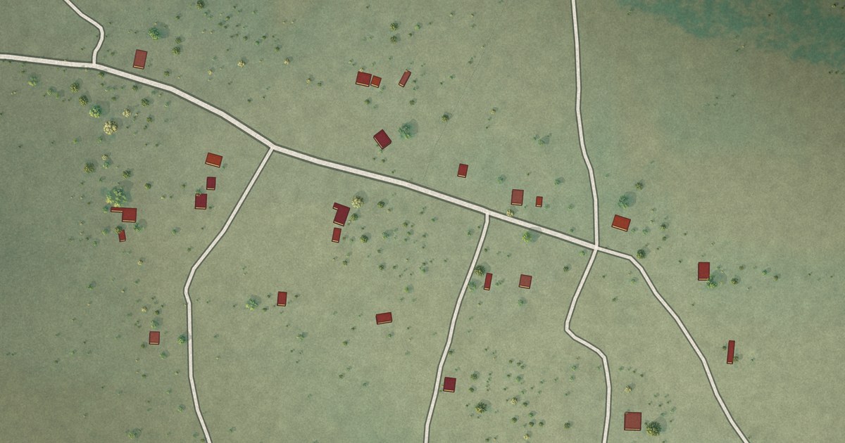
A detailed map of Charco, Arizona, showing every building in its true location, the roads by name, and shaded topographical relief.
Read More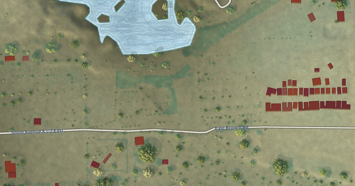
A detailed map of Buckshot, Arizona, showing every building in its true location, the roads by name, and shaded topographical relief.
Read More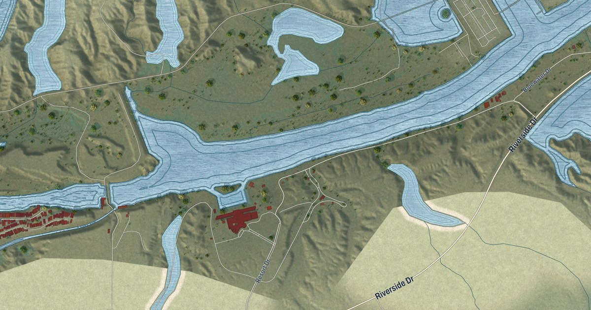
A detailed map of Bluewater, Arizona, showing every building in its true location, the roads by name, and shaded topographical relief.
Read More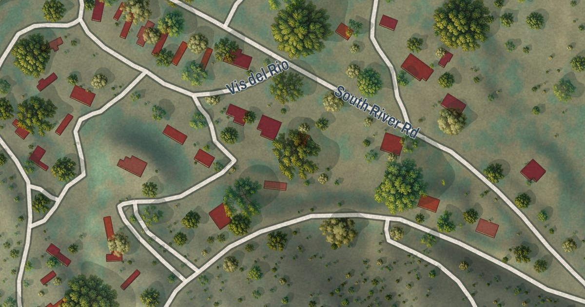
A detailed map of Beyerville, Arizona, showing every building in its true location, the roads by name, and shaded topographical relief.
Read More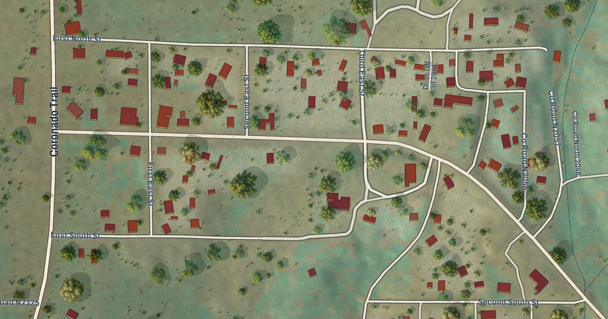
A detailed map of Alpine, Arizona, showing every building in its true location, the roads by name, and shaded topographical relief.
Read More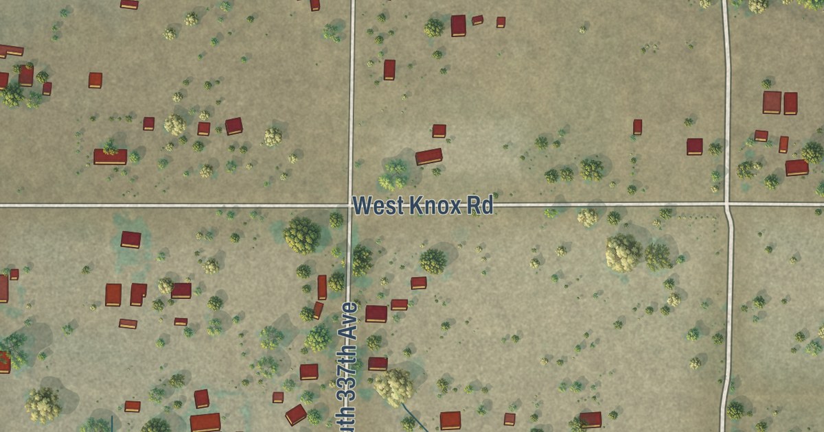
A detailed map of Arlington, Arizona, showing every building in its true location, the roads by name, and shaded topographical relief.
Read More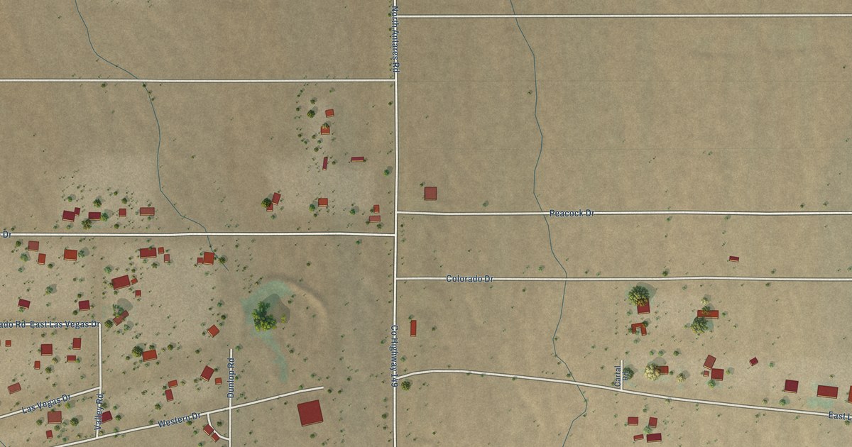
A detailed map of Antares, Arizona, showing every building in its true location, the roads by name, and shaded topographical relief.
Read More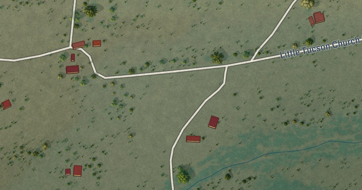
A detailed map of Ali Molina, Arizona, showing every building in its true location, the roads by name, and shaded topographical relief.
Read More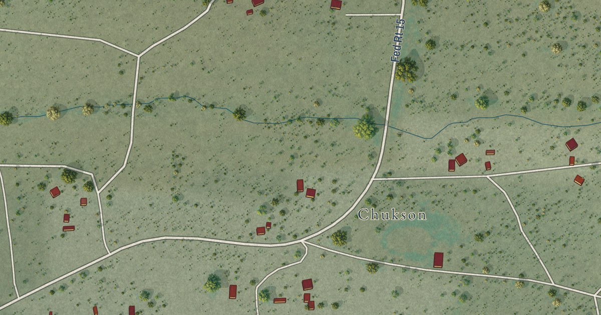
A detailed map of Ali Chukson, Arizona, showing every building in its true location, the roads by name, and shaded topographical relief.
Read More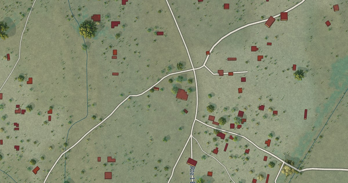
A detailed map of Ali Chuk, Arizona, showing every building in its true location, the roads by name, and shaded topographical relief.
Read More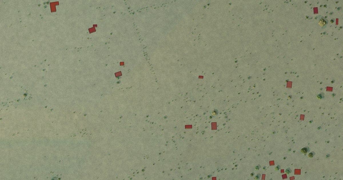
A detailed map of Anegam, Arizona, showing every building in its true location, the roads by name, and shaded topographical relief.
Read More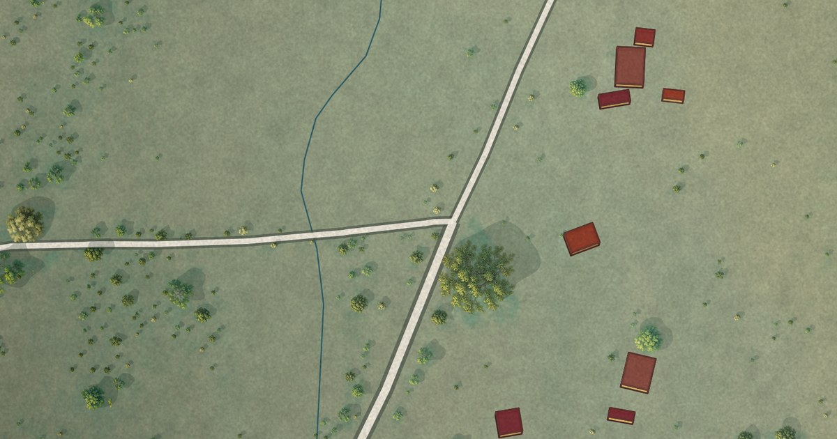
A detailed map of Ak Chin, Arizona, showing every building in its true location, the roads by name, and shaded topographical relief.
Read More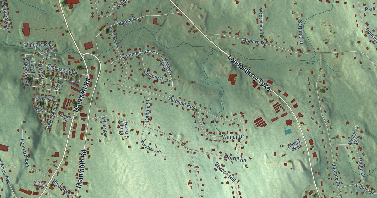
A detailed map of South Hooksett, New Hampshire, showing every building in its true location, the roads by name, and shaded topographical relief.
Read More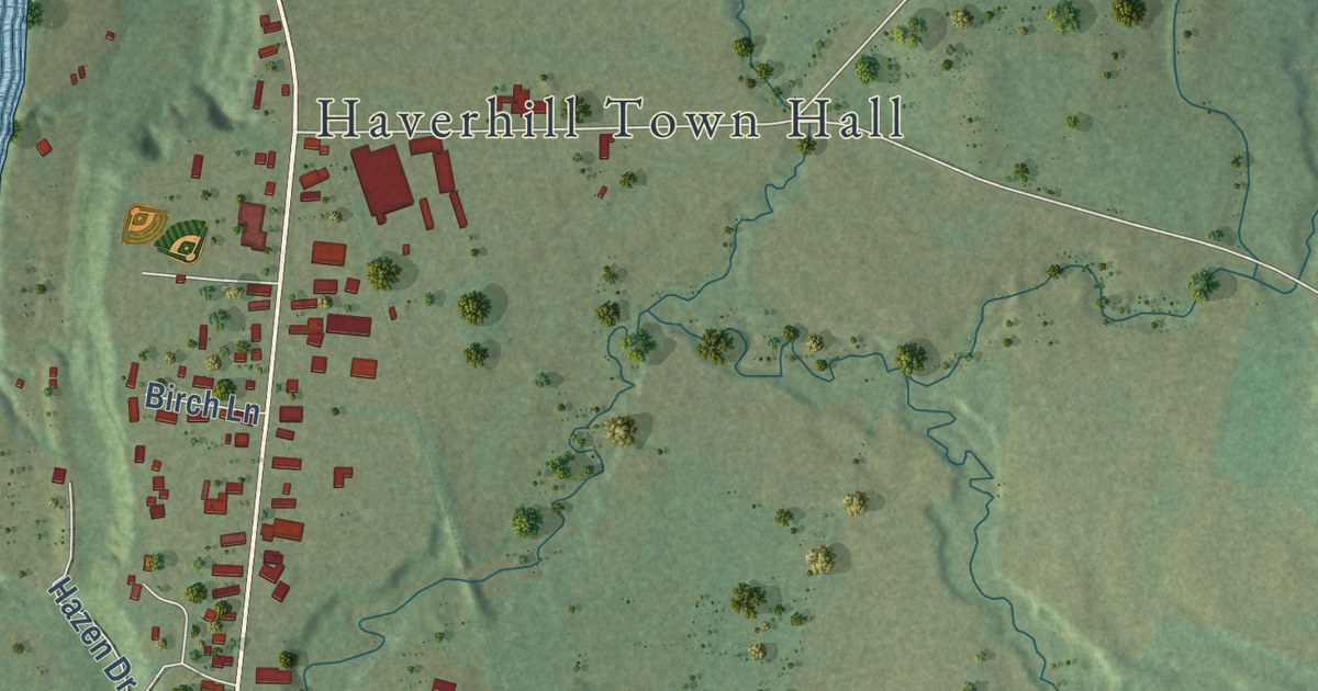
A detailed map of North Haverhill, New Hampshire, showing every building in its true location, the roads by name, and shaded topographical relief.
Read More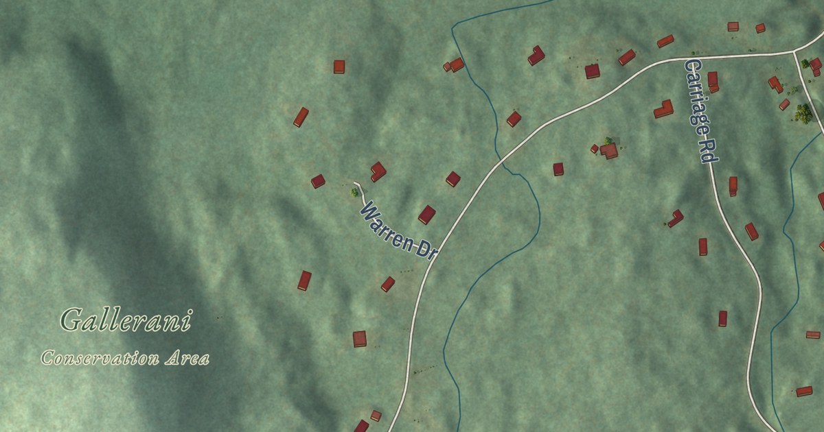
A detailed map of Klondike Corner, New Hampshire, showing every building in its true location, the roads by name, and shaded topographical relief.
Read More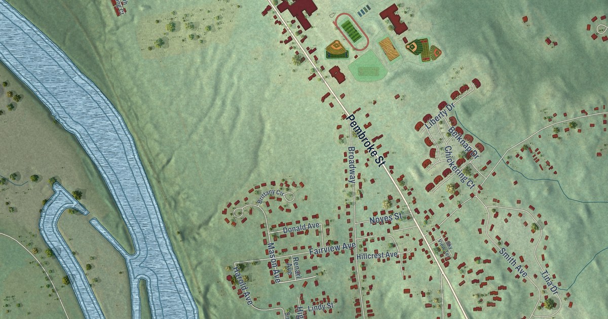
A detailed map of Suncook, New Hampshire, showing every building in its true location, the roads by name, and shaded topographical relief.
Read More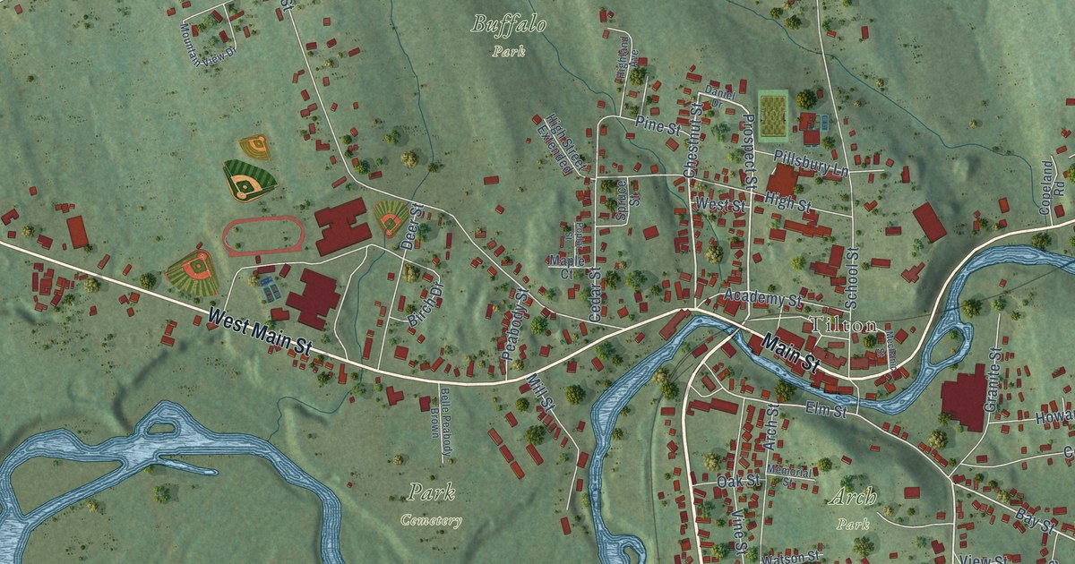
A detailed map of Tilton Northfield, New Hampshire, showing every building in its true location, the roads by name, and shaded topographical relief.
Read More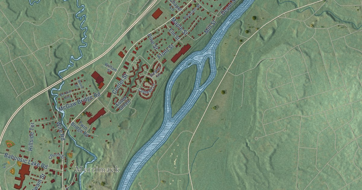
A detailed map of East Merrimack, New Hampshire, showing every building in its true location, the roads by name, and shaded topographical relief.
Read More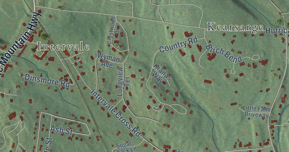
A detailed map of North Conway, New Hampshire, showing every building in its true location, the roads by name, and shaded topographical relief.
Read More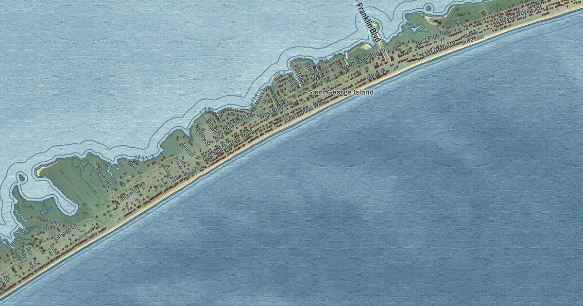
A detailed map of St. George Island, Florida, showing every building in its true location, the roads by name, and shaded topographical relief.
Read More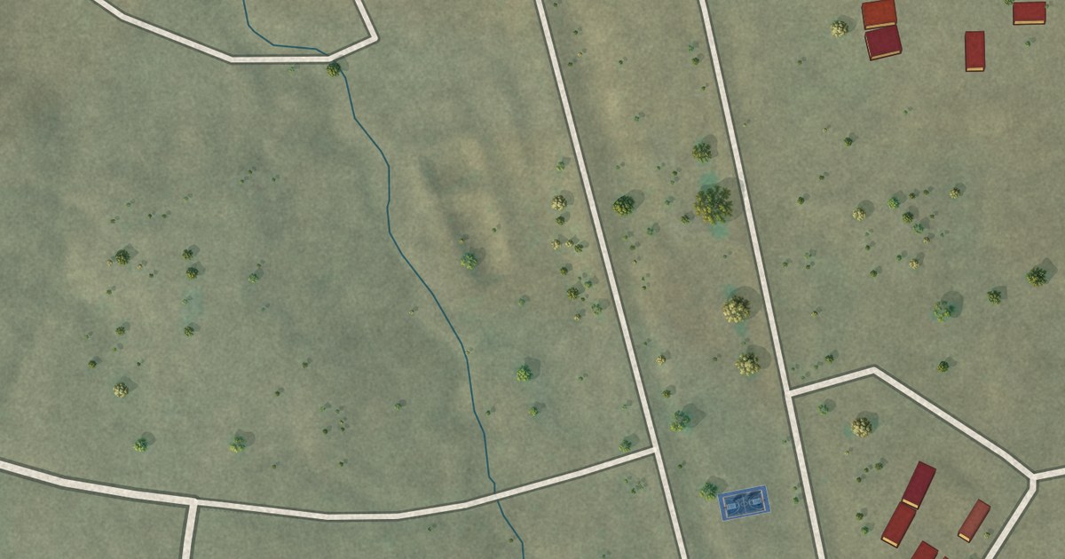
A detailed map of Red Rock, Arizona, showing every building in its true location, the roads by name, and shaded topographical relief.
Read More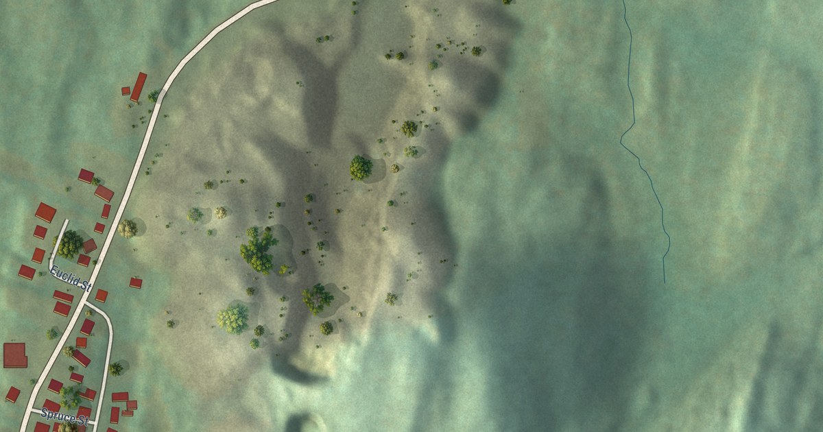
A detailed map of West Pawlet, Vermont, showing every building in its true location, the roads by name, and shaded topographical relief.
Read More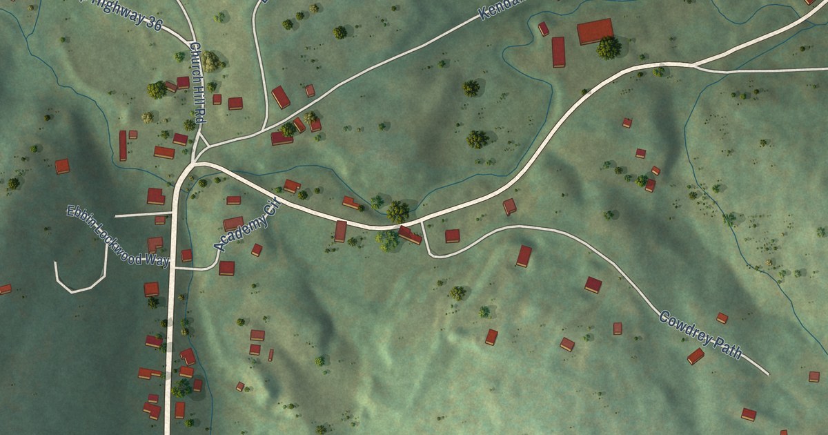
A detailed map of South Woodstock, Vermont, showing every building in its true location, the roads by name, and shaded topographical relief.
Read More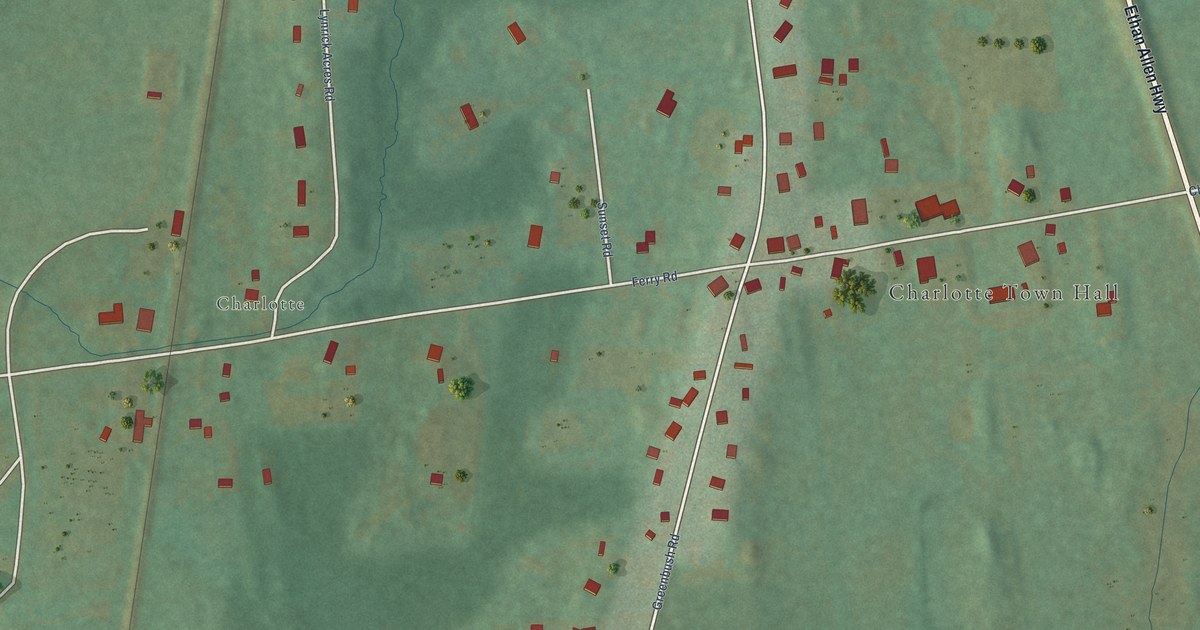
A detailed map of West Charlotte, Vermont, showing every building in its true location, the roads by name, and shaded topographical relief.
Read More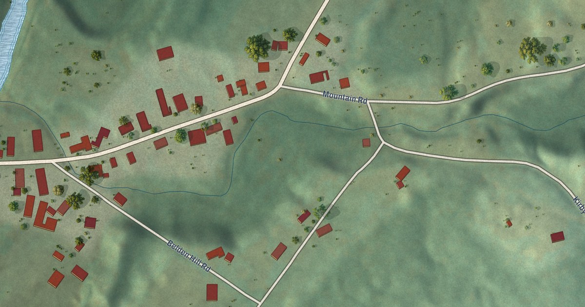
A detailed map of East Burke, Vermont, showing every building in its true location, the roads by name, and shaded topographical relief.
Read More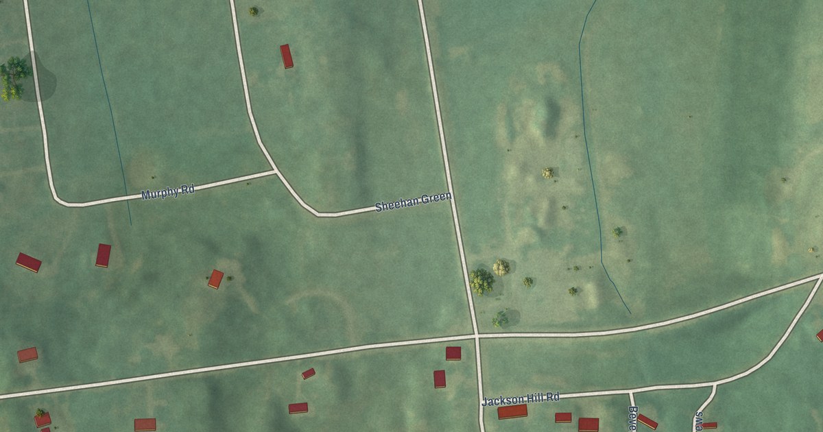
A detailed map of East Charlotte, Vermont, showing every building in its true location, the roads by name, and shaded topographical relief.
Read More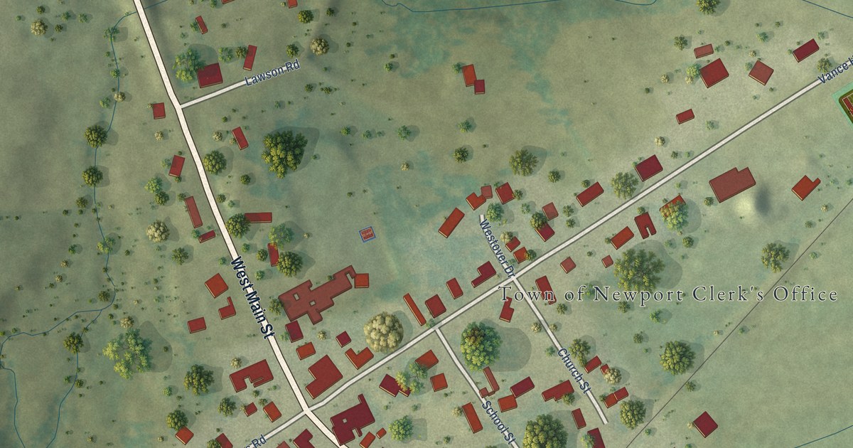
A detailed map of Newport Center, Vermont, showing every building in its true location, the roads by name, and shaded topographical relief.
Read More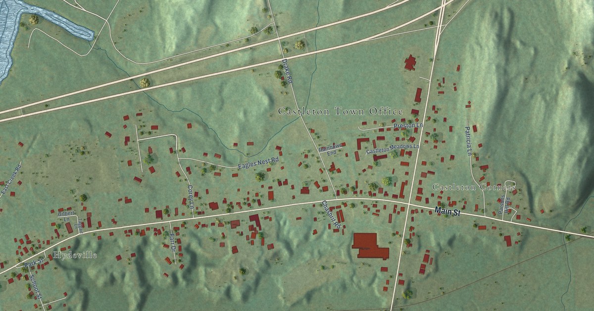
A detailed map of Castleton Four Corners, Vermont, showing every building in its true location, the roads by name, and shaded topographical relief.
Read More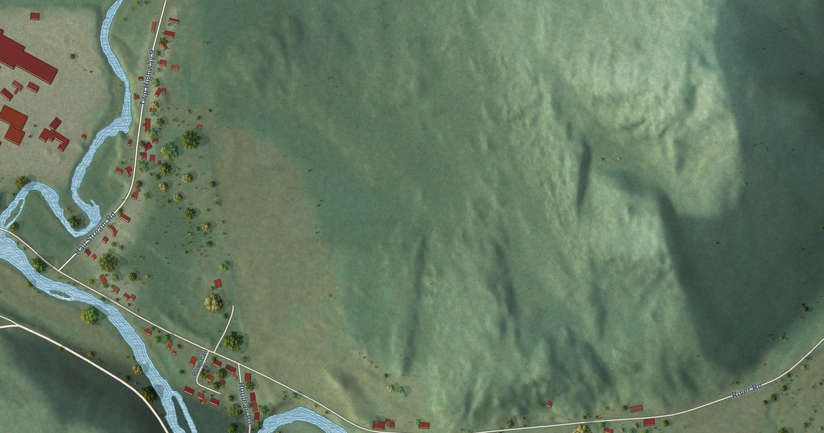
A detailed map of Beecher Falls, Vermont, showing every building in its true location, the roads by name, and shaded topographical relief.
Read More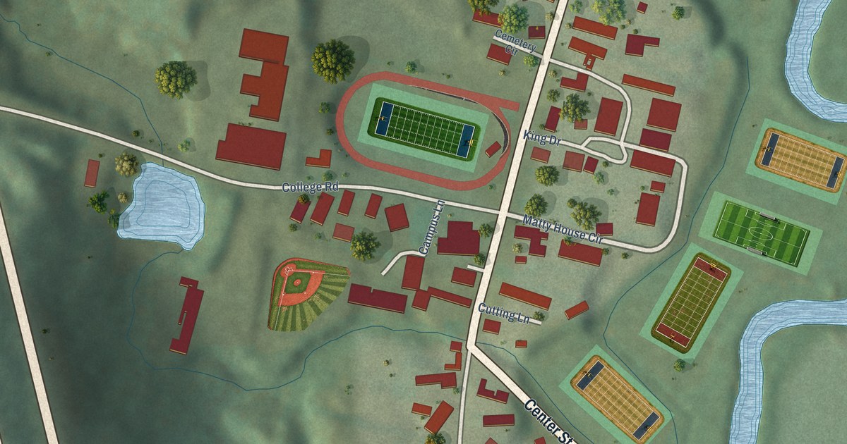
A detailed map of Lyndon Center, Vermont, showing every building in its true location, the roads by name, and shaded topographical relief.
Read More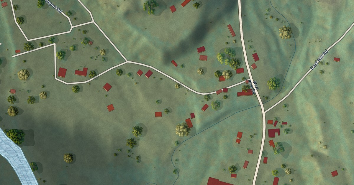
A detailed map of Harmonyville, Vermont, showing every building in its true location, the roads by name, and shaded topographical relief.
Read More















