Detailed Map of Algiers, Vermont
A detailed map of Algiers, Vermont, showing every building in its true location, the roads by name, and shaded topographical relief.
Read More
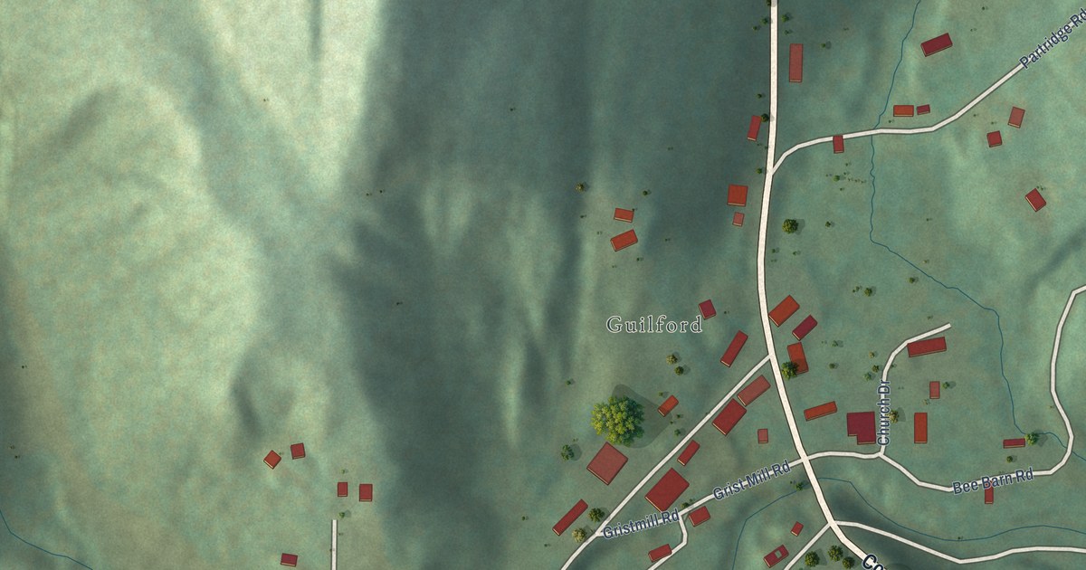
A detailed map of Algiers, Vermont, showing every building in its true location, the roads by name, and shaded topographical relief.
Read More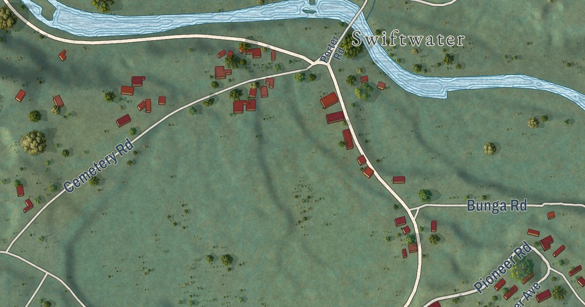
A detailed map of Mountain Lakes, New Hampshire, showing every building in its true location, the roads by name, and shaded topographical relief.
Read More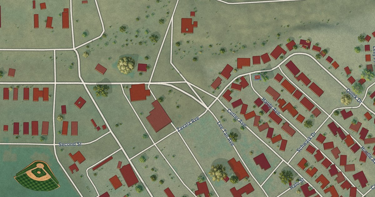
A detailed map of Yuma Proving Ground, Arizona, showing every building in its true location, the roads by name, and shaded topographical relief.
Read More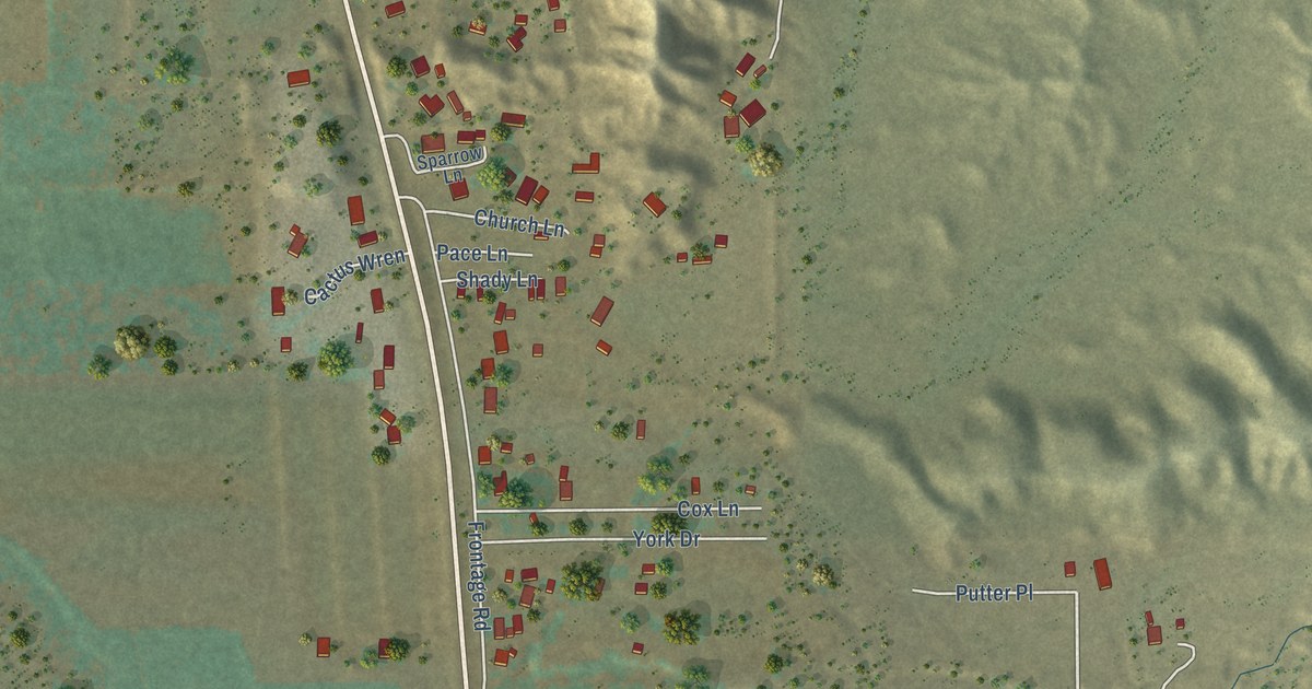
A detailed map of York, Arizona, showing every building in its true location, the roads by name, and shaded topographical relief.
Read More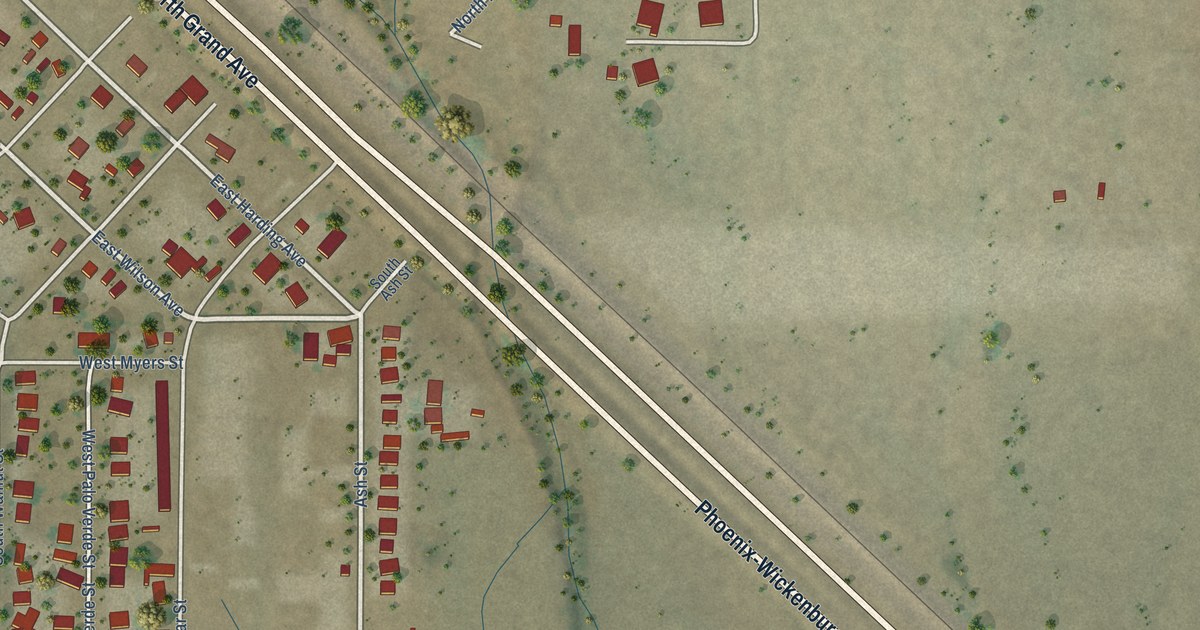
A detailed map of Wittmann, Arizona, showing every building in its true location, the roads by name, and shaded topographical relief.
Read More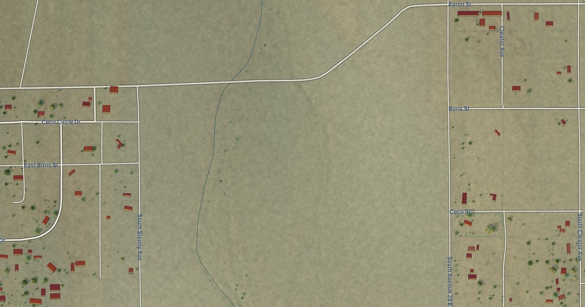
A detailed map of Wellton Hills, Arizona, showing every building in its true location, the roads by name, and shaded topographical relief.
Read More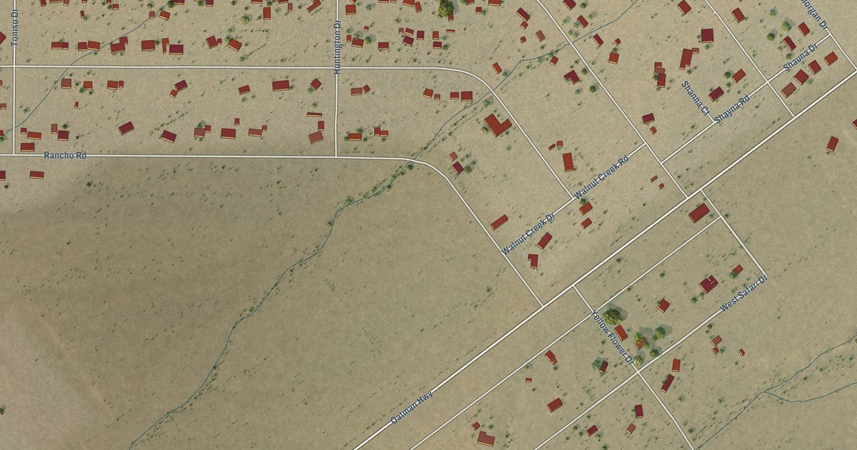
A detailed map of Walnut Creek, Arizona, showing every building in its true location, the roads by name, and shaded topographical relief.
Read More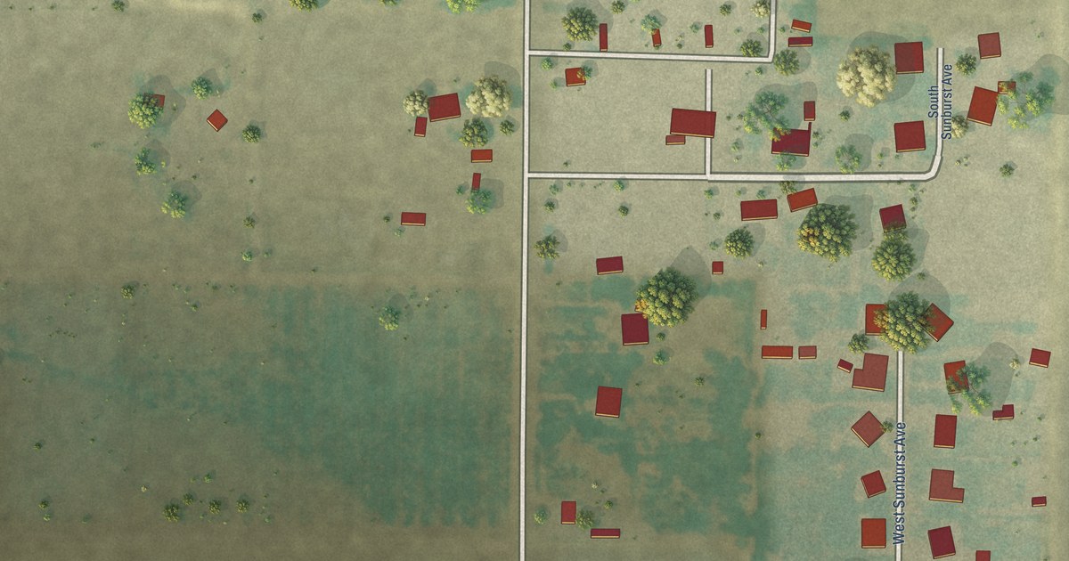
A detailed map of Wall Lane, Arizona, showing every building in its true location, the roads by name, and shaded topographical relief.
Read More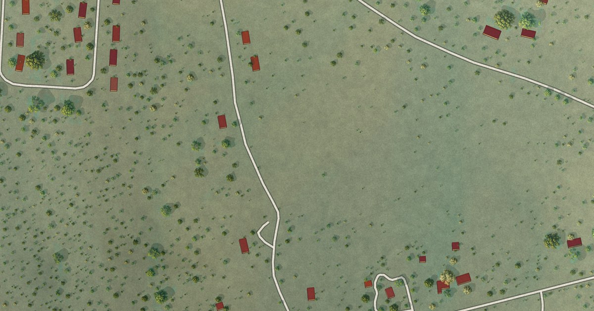
A detailed map of Turkey Creek, Arizona, showing every building in its true location, the roads by name, and shaded topographical relief.
Read More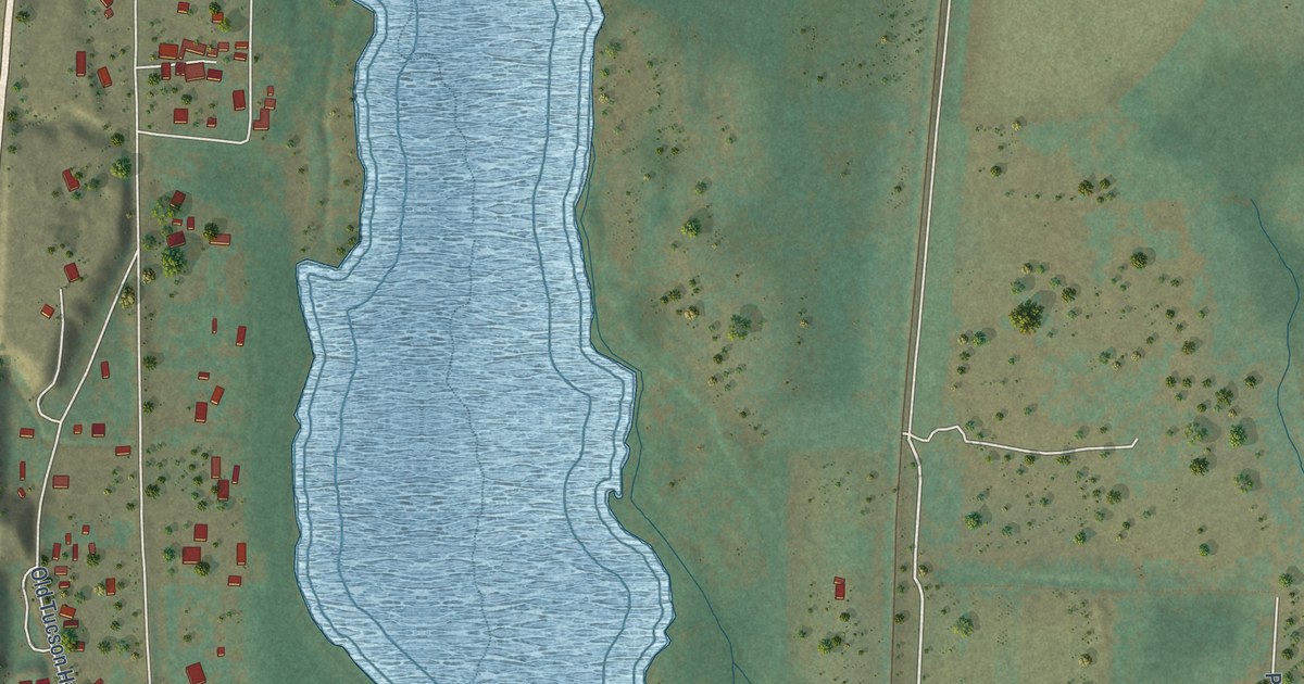
A detailed map of Tumacacori-Carmen, Arizona, showing every building in its true location, the roads by name, and shaded topographical relief.
Read More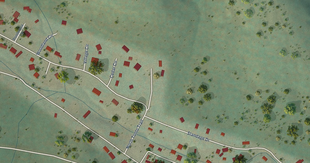
A detailed map of Tonto Village, Arizona, showing every building in its true location, the roads by name, and shaded topographical relief.
Read More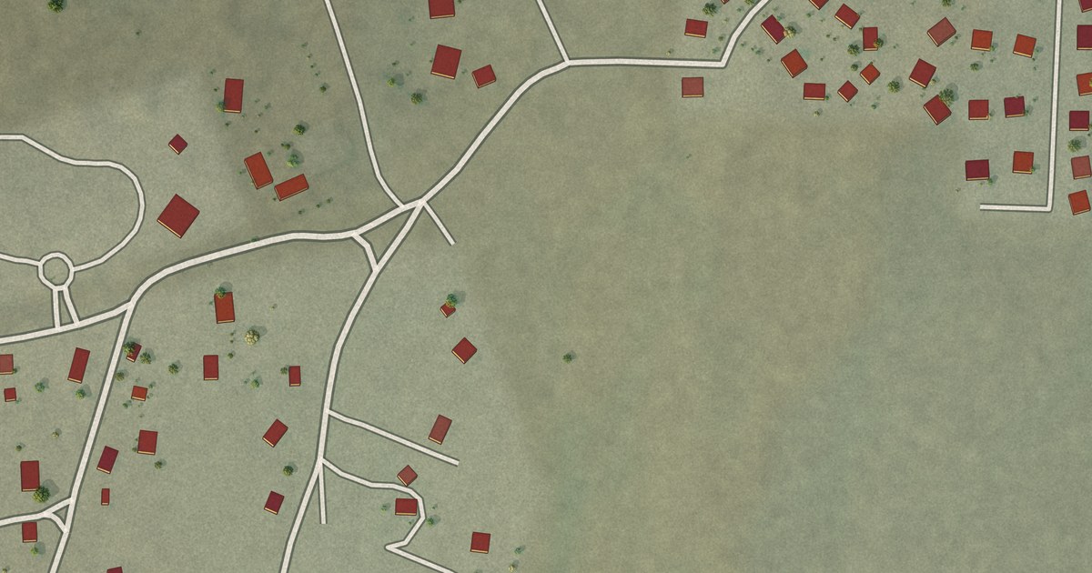
A detailed map of Tolani Lake, Arizona, showing every building in its true location, the roads by name, and shaded topographical relief.
Read More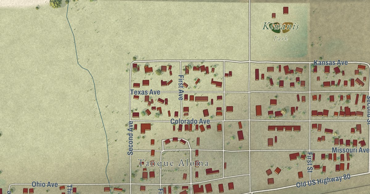
A detailed map of Tacna, Arizona, showing every building in its true location, the roads by name, and shaded topographical relief.
Read More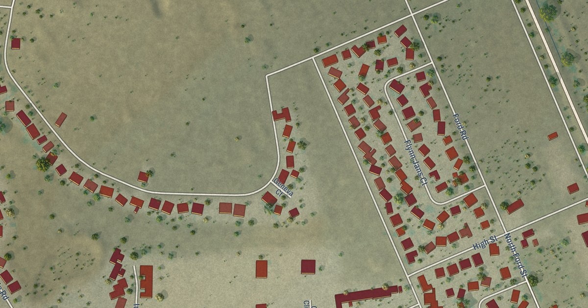
A detailed map of Sunsites, Arizona, showing every building in its true location, the roads by name, and shaded topographical relief.
Read More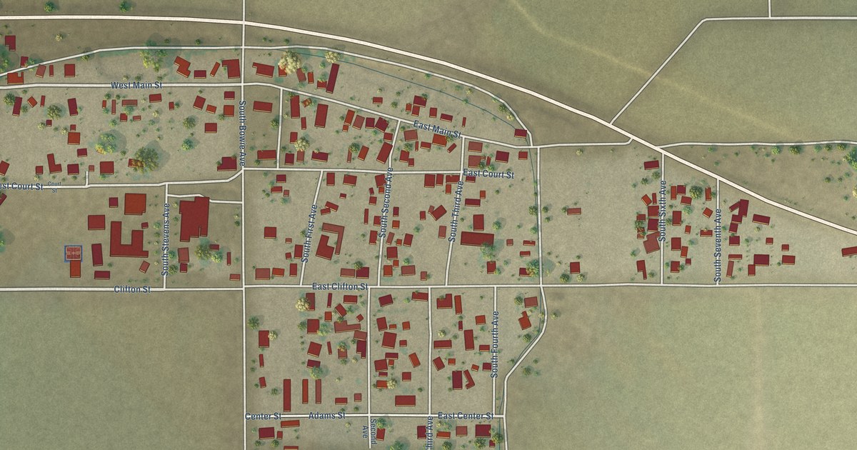
A detailed map of Solomon, Arizona, showing every building in its true location, the roads by name, and shaded topographical relief.
Read More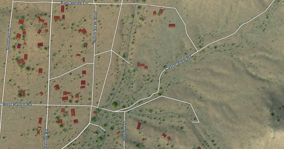
A detailed map of So-Hi, Arizona, showing every building in its true location, the roads by name, and shaded topographical relief.
Read More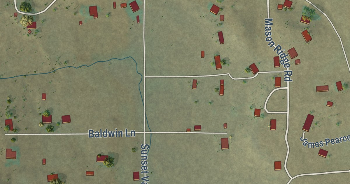
A detailed map of Shumway, Arizona, showing every building in its true location, the roads by name, and shaded topographical relief.
Read More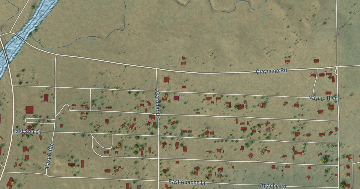
A detailed map of Sanders, Arizona, showing every building in its true location, the roads by name, and shaded topographical relief.
Read More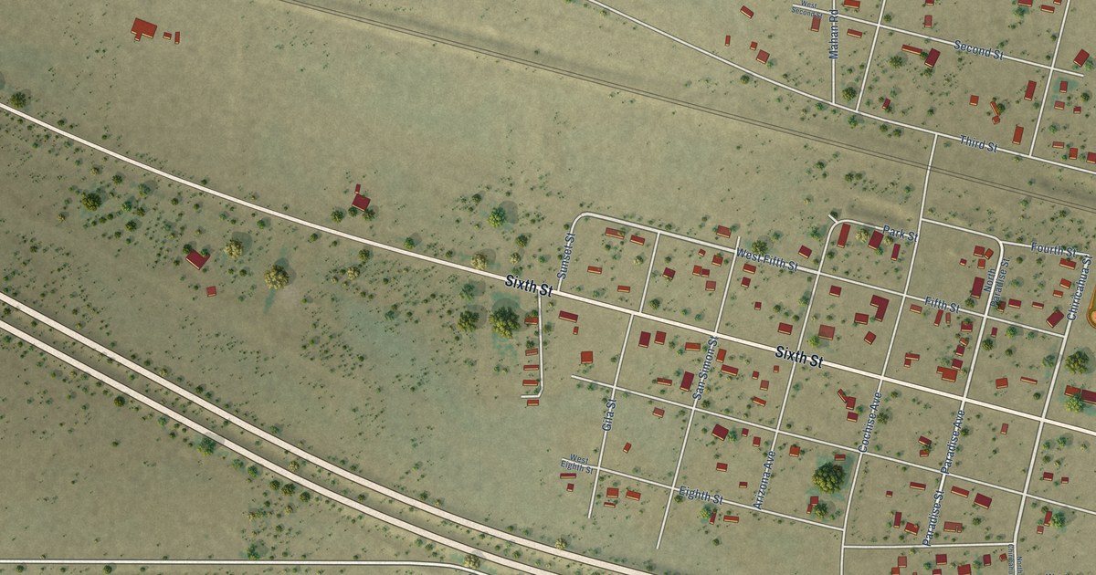
A detailed map of San Simon, Arizona, showing every building in its true location, the roads by name, and shaded topographical relief.
Read More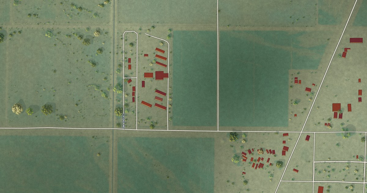
A detailed map of Poston, Arizona, showing every building in its true location, the roads by name, and shaded topographical relief.
Read More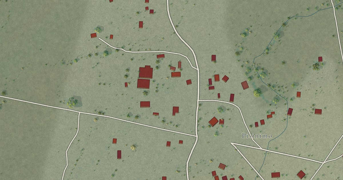
A detailed map of Pisinemo, Arizona, showing every building in its true location, the roads by name, and shaded topographical relief.
Read More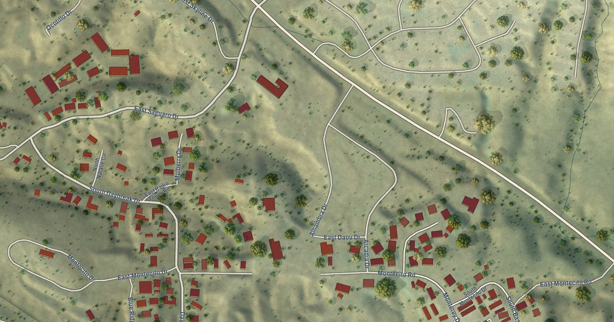
A detailed map of Pinal, Arizona, showing every building in its true location, the roads by name, and shaded topographical relief.
Read More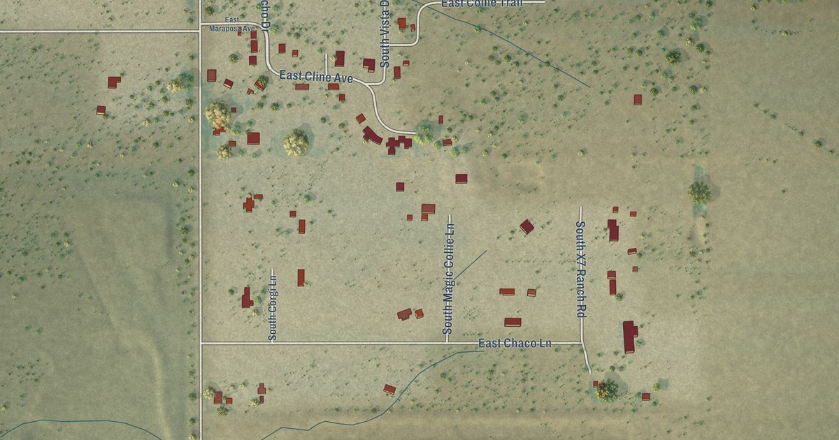
A detailed map of Palominas, Arizona, showing every building in its true location, the roads by name, and shaded topographical relief.
Read More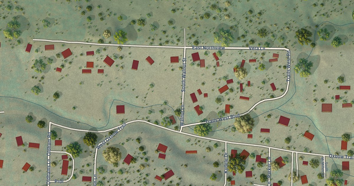
A detailed map of Oxbow Estates, Arizona, showing every building in its true location, the roads by name, and shaded topographical relief.
Read More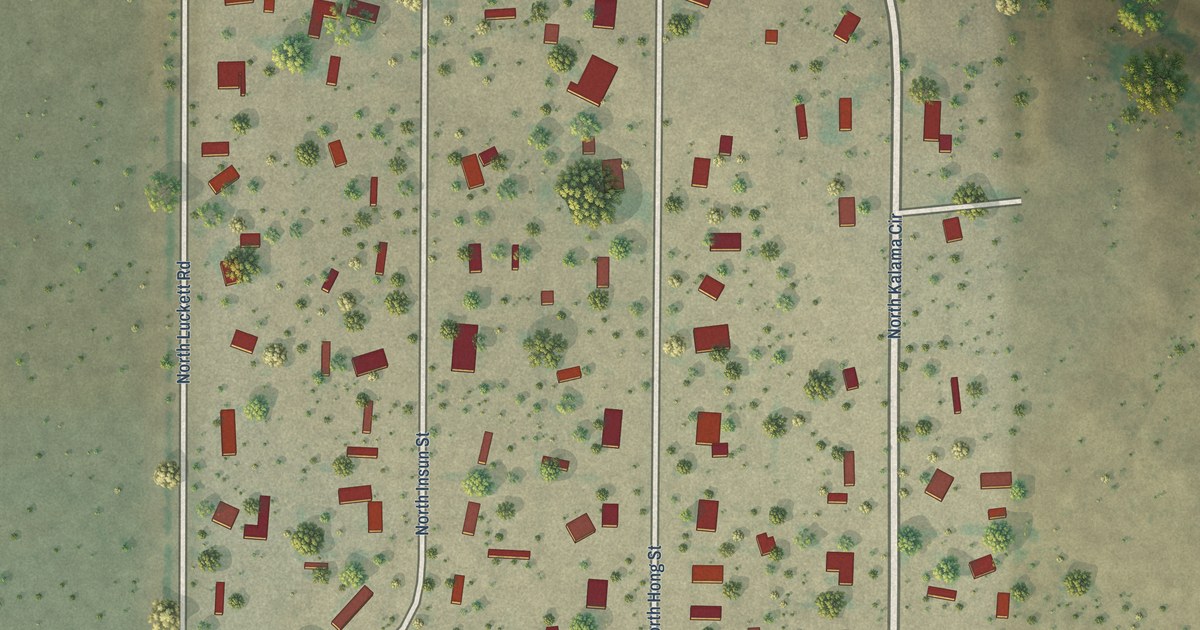
A detailed map of Nelson, Arizona, showing every building in its true location, the roads by name, and shaded topographical relief.
Read More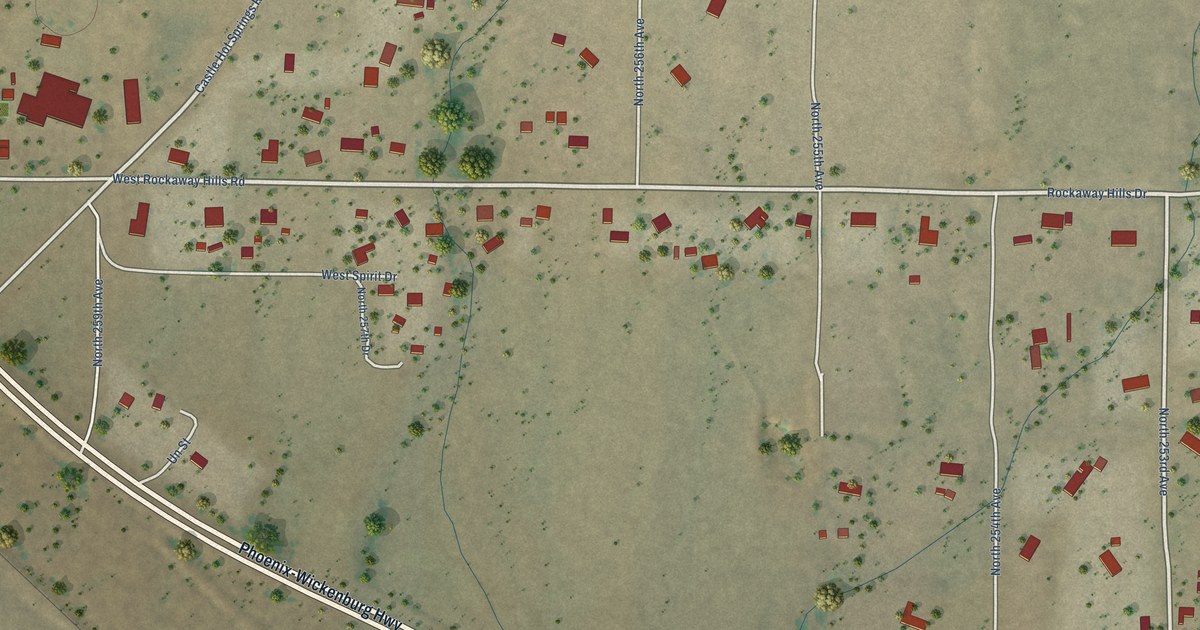
A detailed map of Morristown, Arizona, showing every building in its true location, the roads by name, and shaded topographical relief.
Read More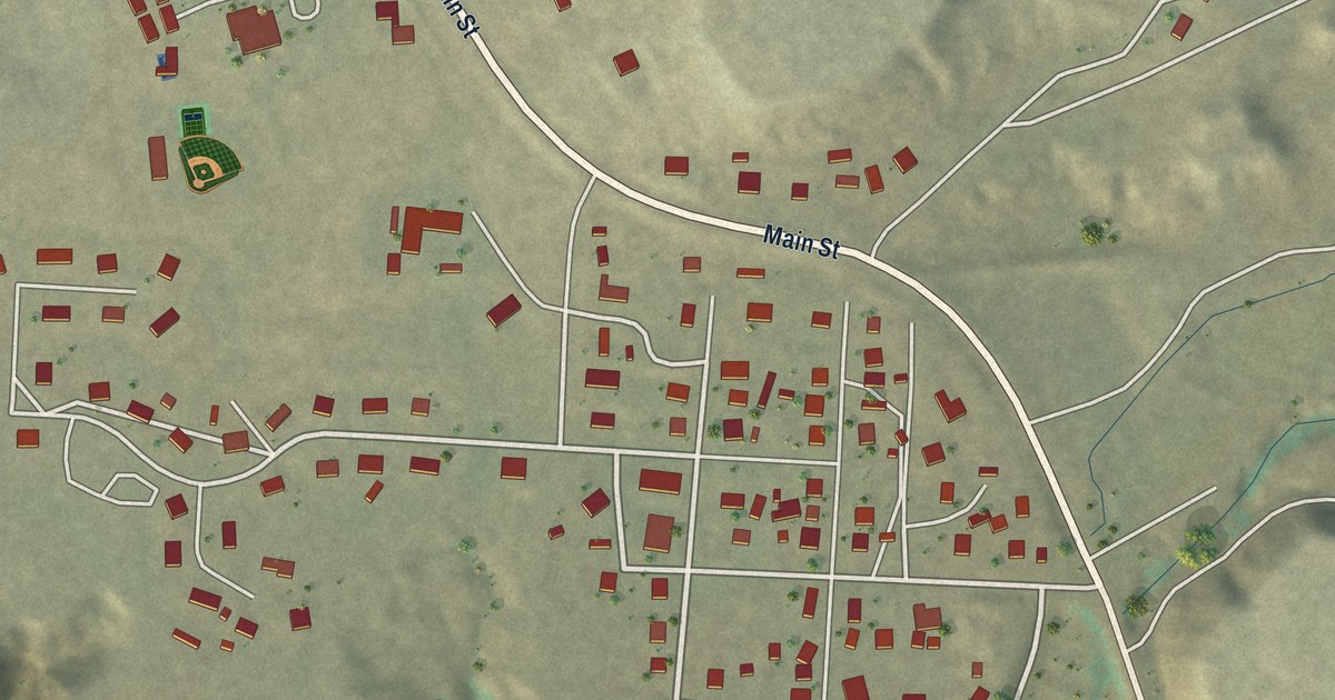
A detailed map of Moenkopi, Arizona, showing every building in its true location, the roads by name, and shaded topographical relief.
Read More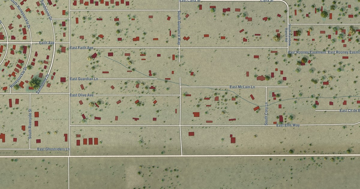
A detailed map of Miracle Valley, Arizona, showing every building in its true location, the roads by name, and shaded topographical relief.
Read More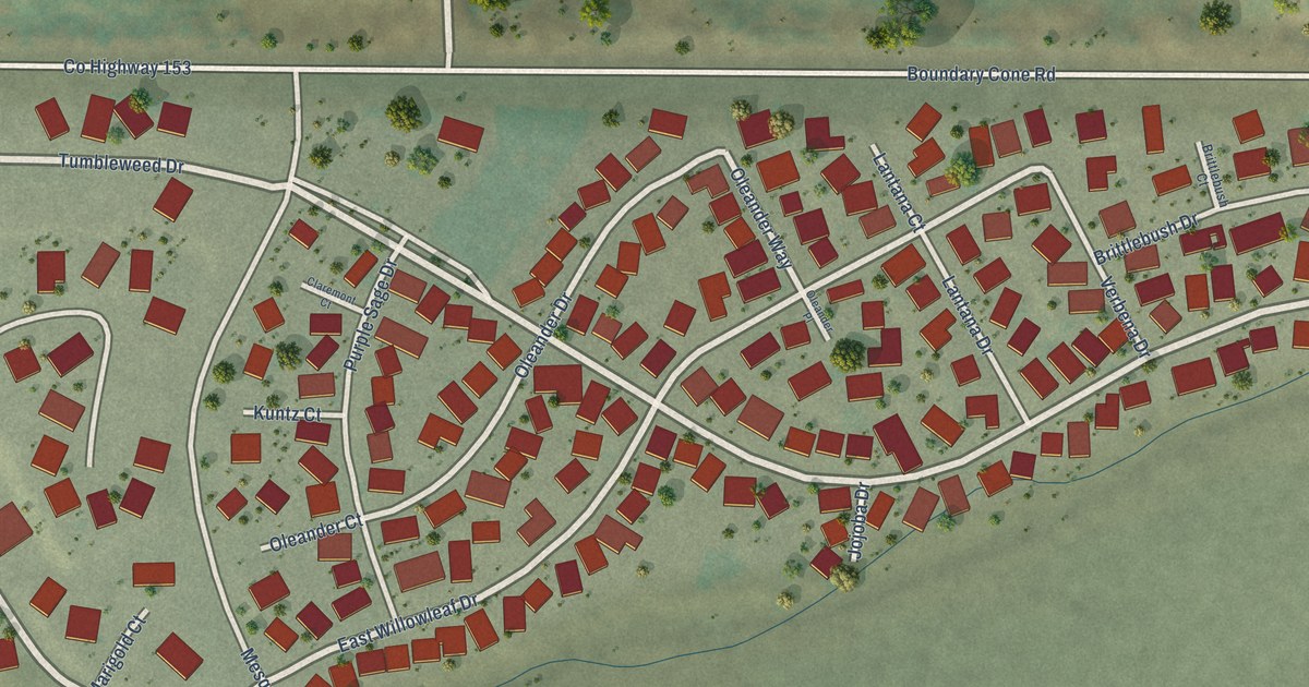
A detailed map of Mesquite Creek, Arizona, showing every building in its true location, the roads by name, and shaded topographical relief.
Read More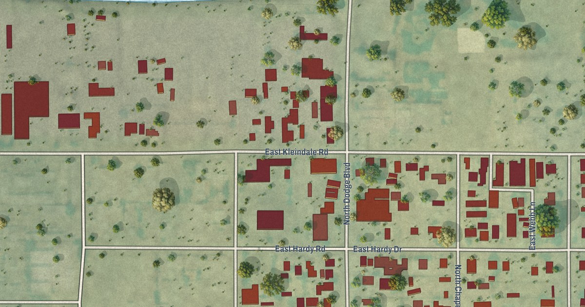
A detailed map of Kleindale, Arizona, showing every building in its true location, the roads by name, and shaded topographical relief.
Read More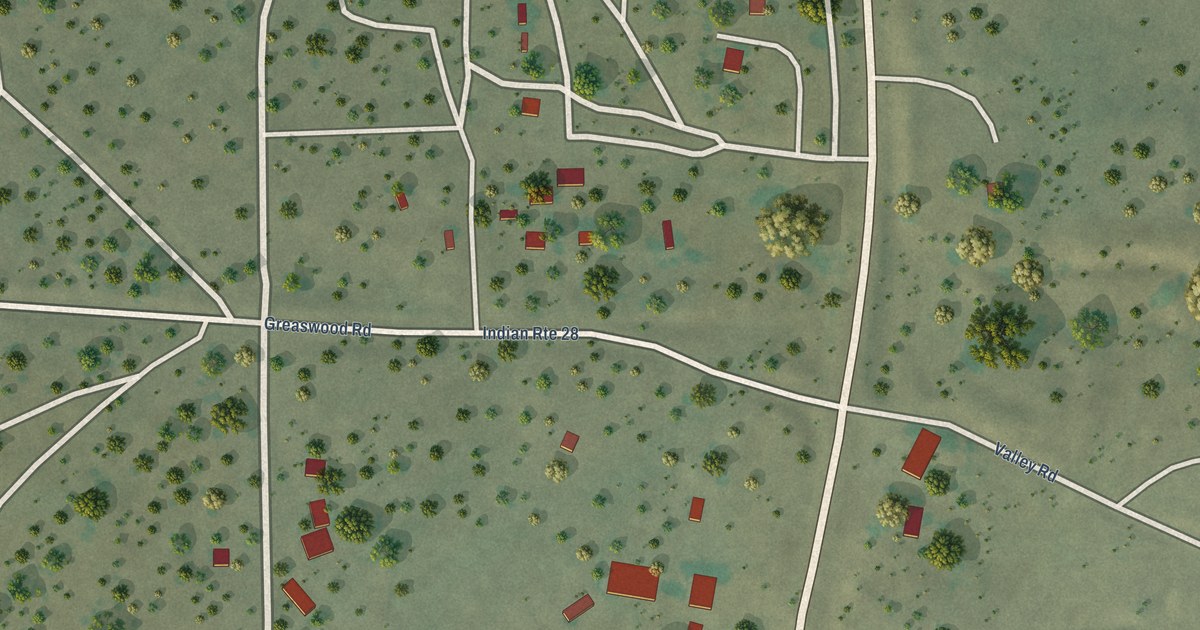
A detailed map of Klagetoh, Arizona, showing every building in its true location, the roads by name, and shaded topographical relief.
Read More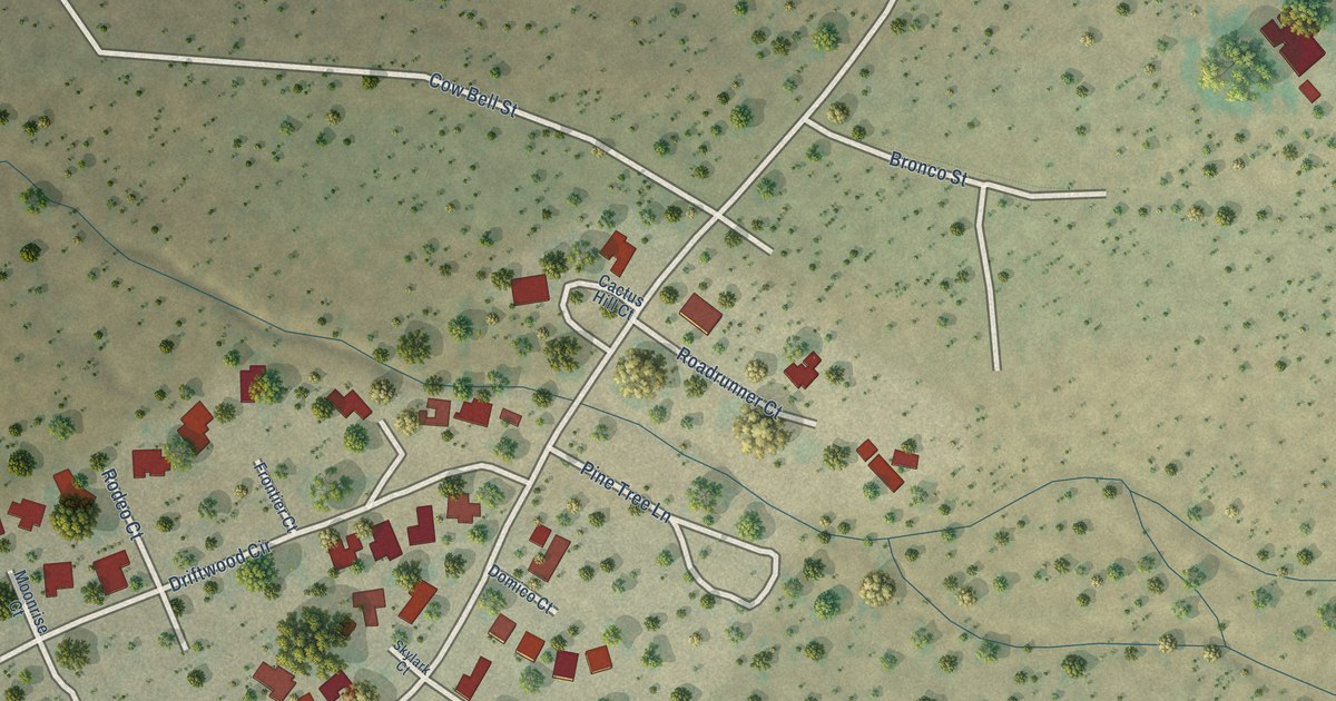
A detailed map of Kino Springs, Arizona, showing every building in its true location, the roads by name, and shaded topographical relief.
Read More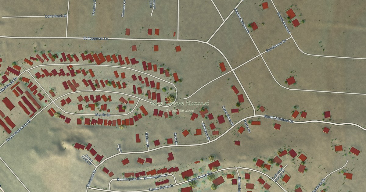
A detailed map of Greenehaven, Arizona, showing every building in its true location, the roads by name, and shaded topographical relief.
Read More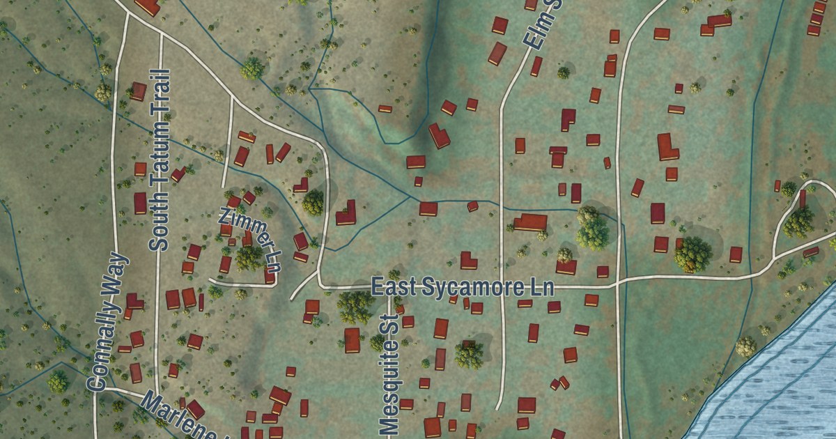
A detailed map of Gisela, Arizona, showing every building in its true location, the roads by name, and shaded topographical relief.
Read More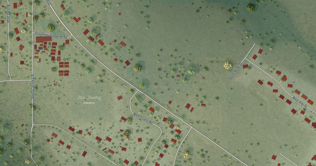
A detailed map of Gila Crossing, Arizona, showing every building in its true location, the roads by name, and shaded topographical relief.
Read More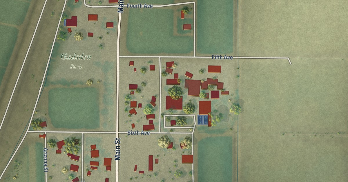
A detailed map of Gadsden, Arizona, showing every building in its true location, the roads by name, and shaded topographical relief.
Read More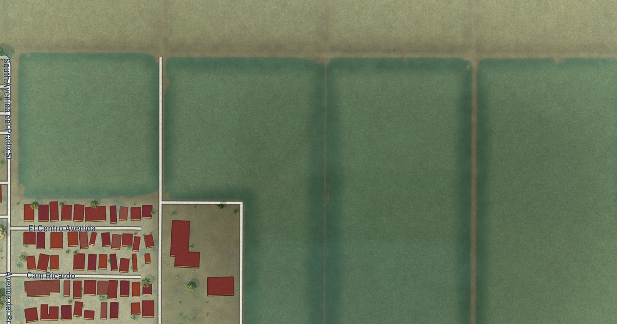
A detailed map of El Prado Estates, Arizona, showing every building in its true location, the roads by name, and shaded topographical relief.
Read More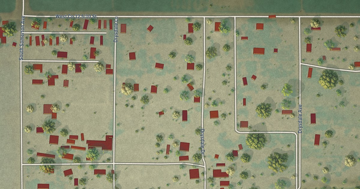
A detailed map of Drysdale, Arizona, showing every building in its true location, the roads by name, and shaded topographical relief.
Read More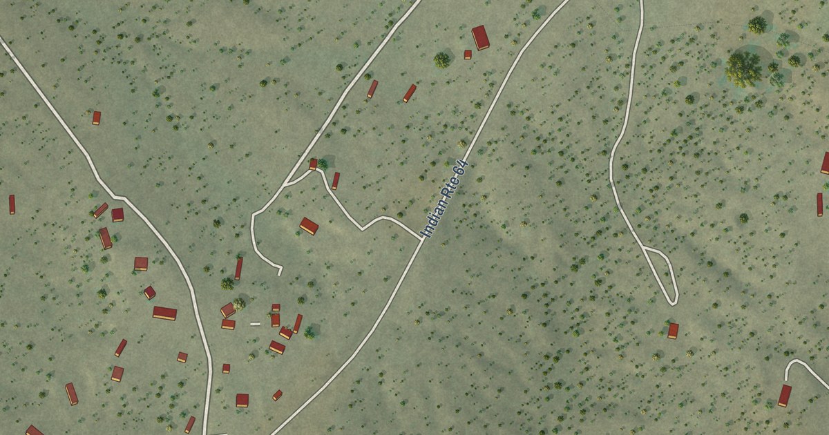
A detailed map of Del Muerto, Arizona, showing every building in its true location, the roads by name, and shaded topographical relief.
Read More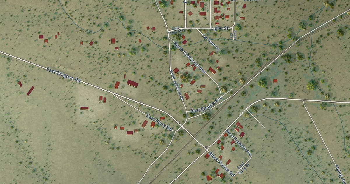
A detailed map of Dragoon, Arizona, showing every building in its true location, the roads by name, and shaded topographical relief.
Read More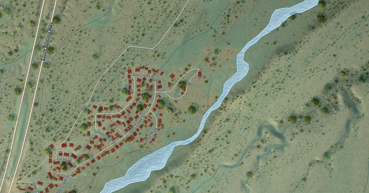
A detailed map of Deer Creek, Arizona, showing every building in its true location, the roads by name, and shaded topographical relief.
Read More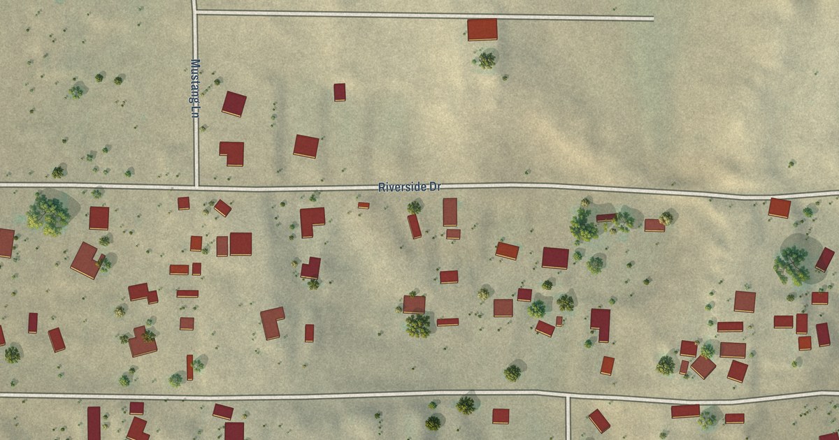
A detailed map of Crystal Beach, Arizona, showing every building in its true location, the roads by name, and shaded topographical relief.
Read More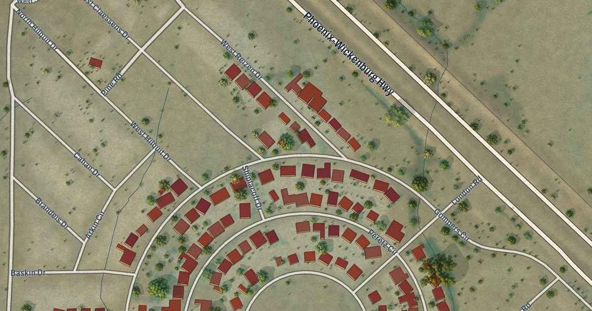
A detailed map of Circle City, Arizona, showing every building in its true location, the roads by name, and shaded topographical relief.
Read More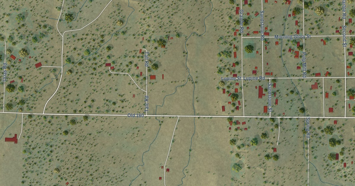
A detailed map of Clay Springs, Arizona, showing every building in its true location, the roads by name, and shaded topographical relief.
Read More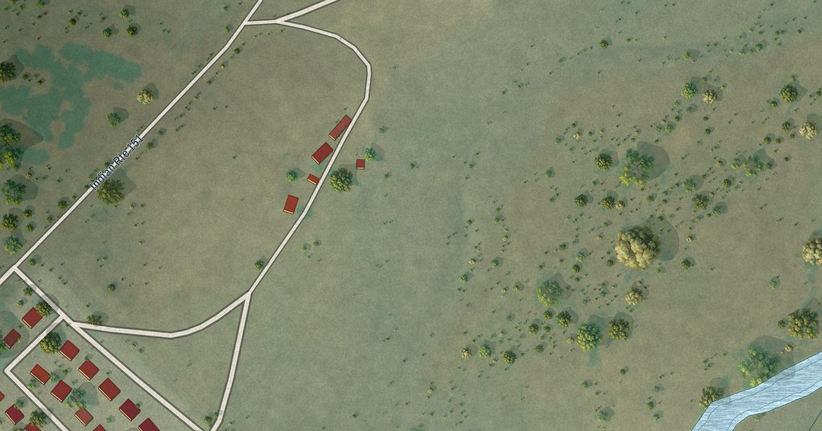
A detailed map of Cornfields, Arizona, showing every building in its true location, the roads by name, and shaded topographical relief.
Read More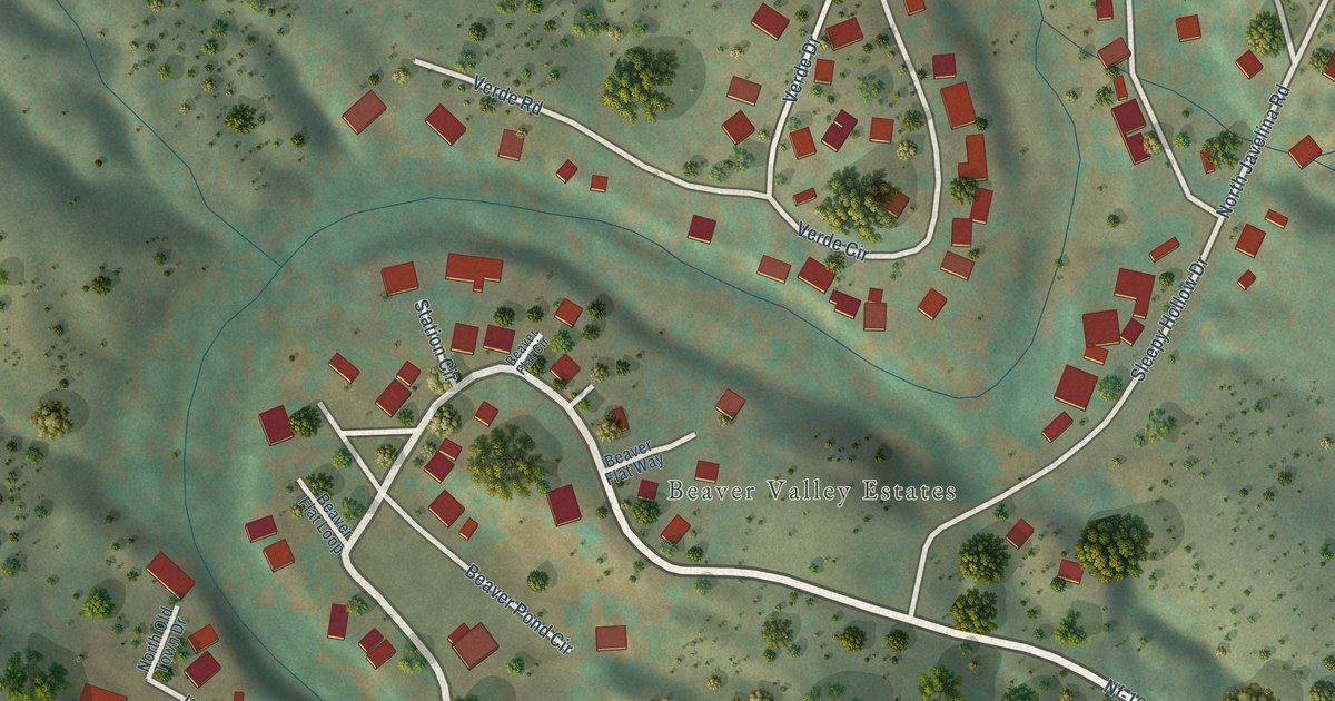
A detailed map of Beaver Valley, Arizona, showing every building in its true location, the roads by name, and shaded topographical relief.
Read More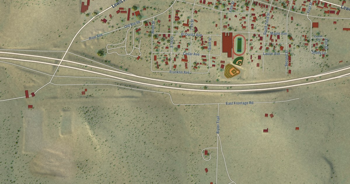
A detailed map of Ash Fork, Arizona, showing every building in its true location, the roads by name, and shaded topographical relief.
Read More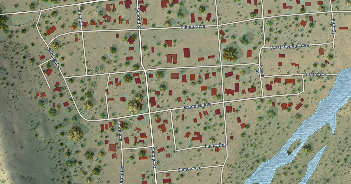
A detailed map of Chloride, Arizona, showing every building in its true location, the roads by name, and shaded topographical relief.
Read More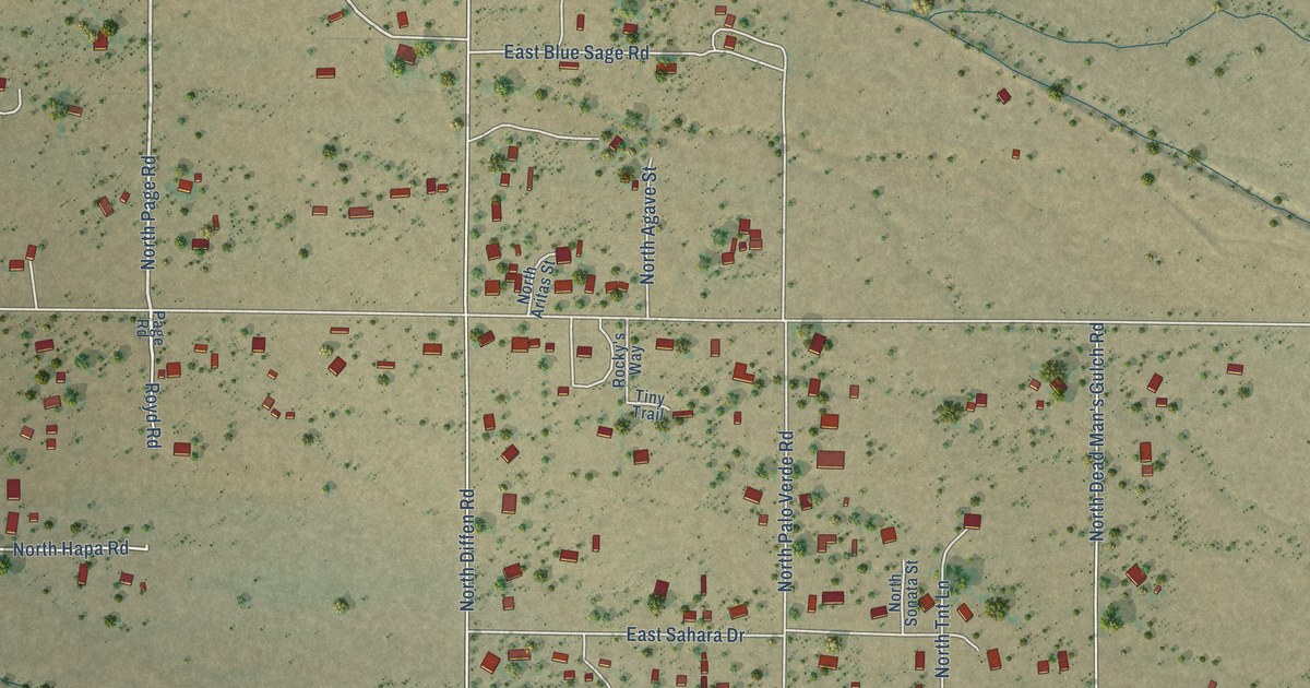
A detailed map of Cactus Forest, Arizona, showing every building in its true location, the roads by name, and shaded topographical relief.
Read More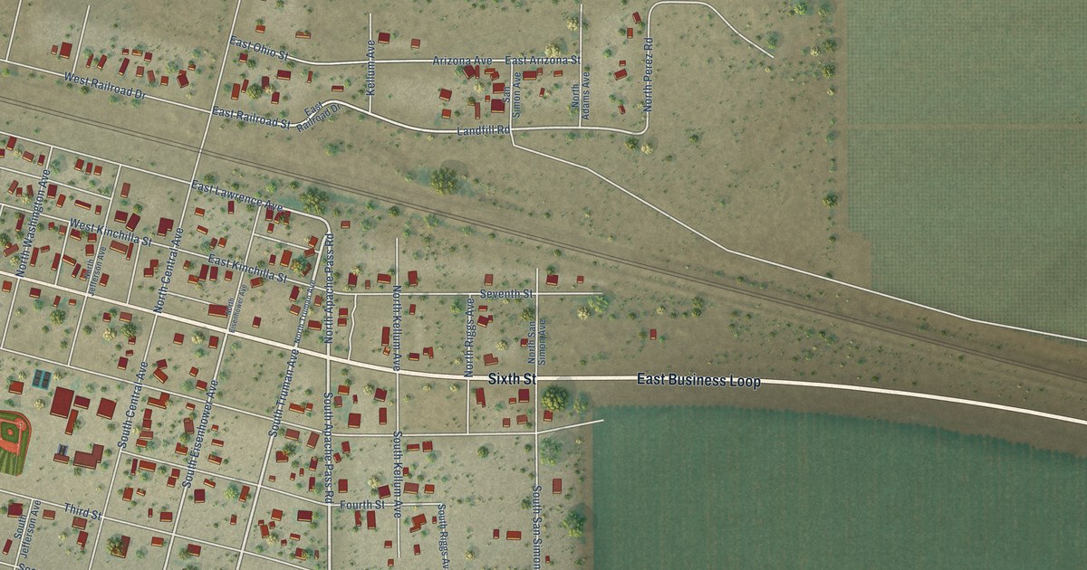
A detailed map of Bowie, Arizona, showing every building in its true location, the roads by name, and shaded topographical relief.
Read More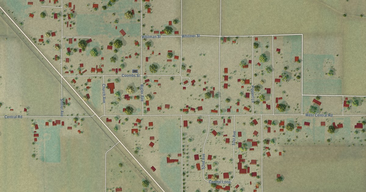
A detailed map of Central, Arizona, showing every building in its true location, the roads by name, and shaded topographical relief.
Read More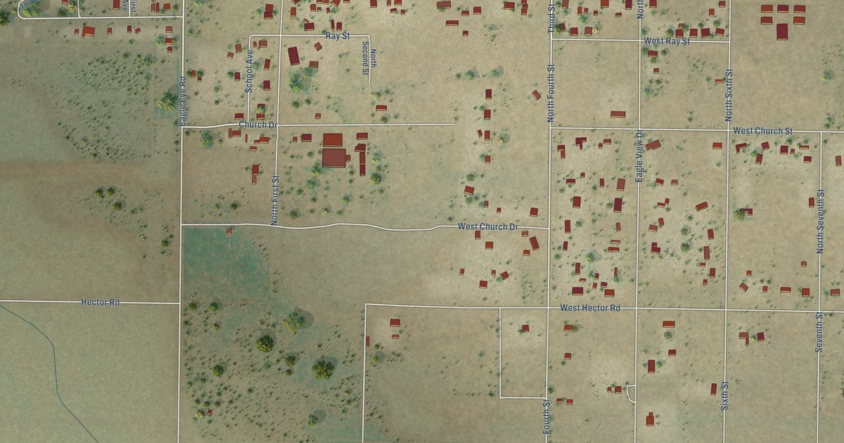
A detailed map of Aguila, Arizona, showing every building in its true location, the roads by name, and shaded topographical relief.
Read More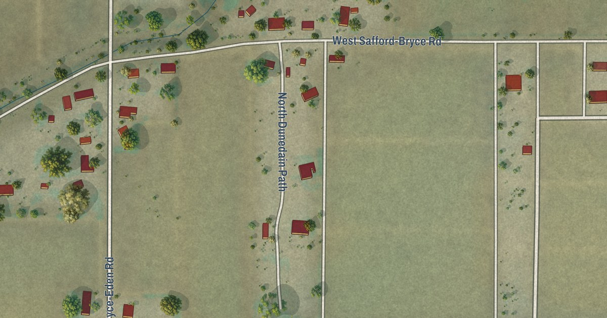
A detailed map of Bryce, Arizona, showing every building in its true location, the roads by name, and shaded topographical relief.
Read More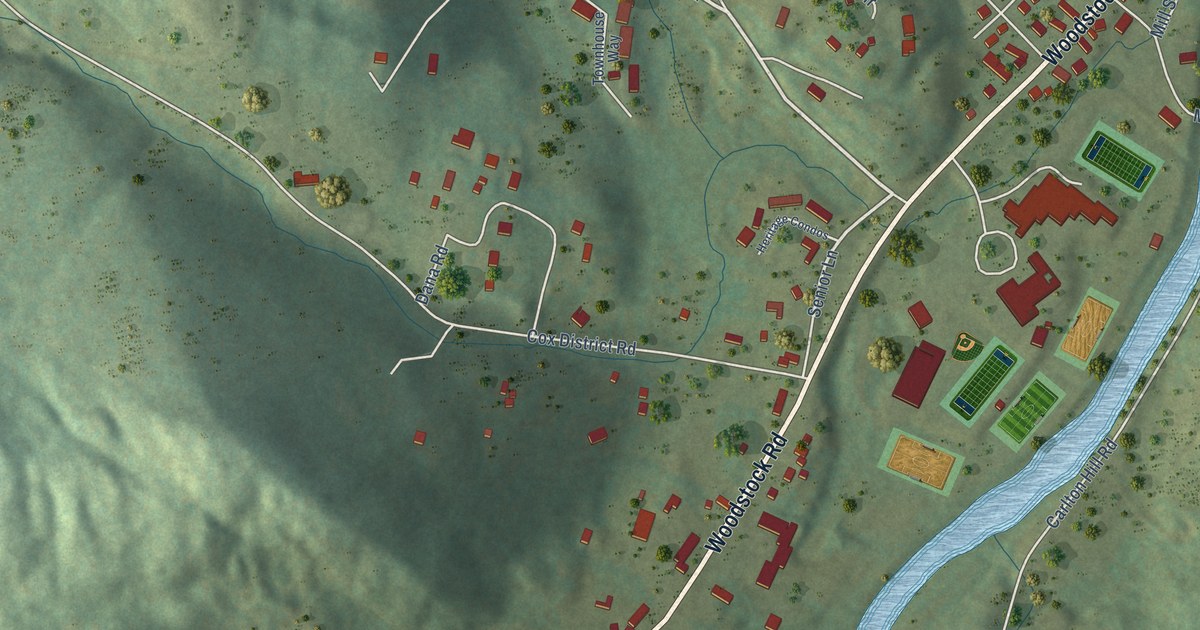
A detailed map of West Woodstock, Vermont, showing every building in its true location, the roads by name, and shaded topographical relief.
Read More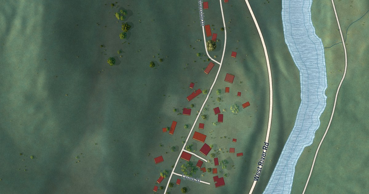
A detailed map of West Dummerston, Vermont, showing every building in its true location, the roads by name, and shaded topographical relief.
Read More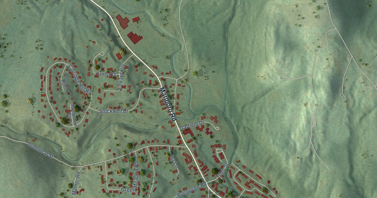
A detailed map of West Brattleboro, Vermont, showing every building in its true location, the roads by name, and shaded topographical relief.
Read More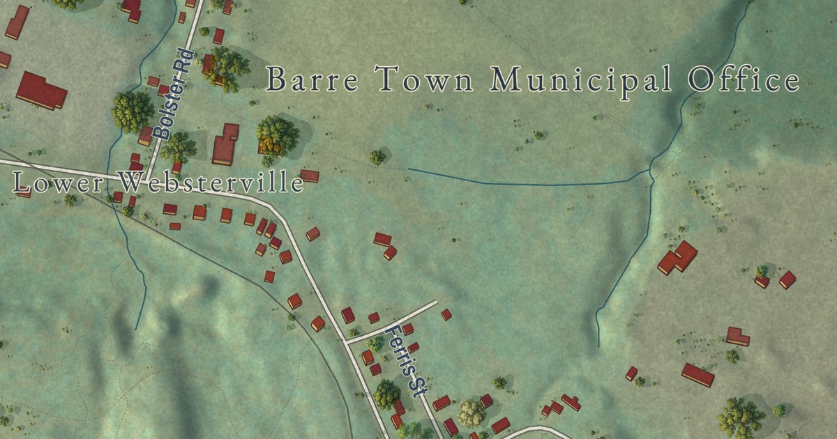
A detailed map of Websterville, Vermont, showing every building in its true location, the roads by name, and shaded topographical relief.
Read More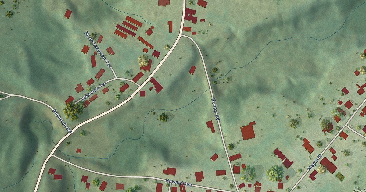
A detailed map of Waterbury Center, Vermont, showing every building in its true location, the roads by name, and shaded topographical relief.
Read More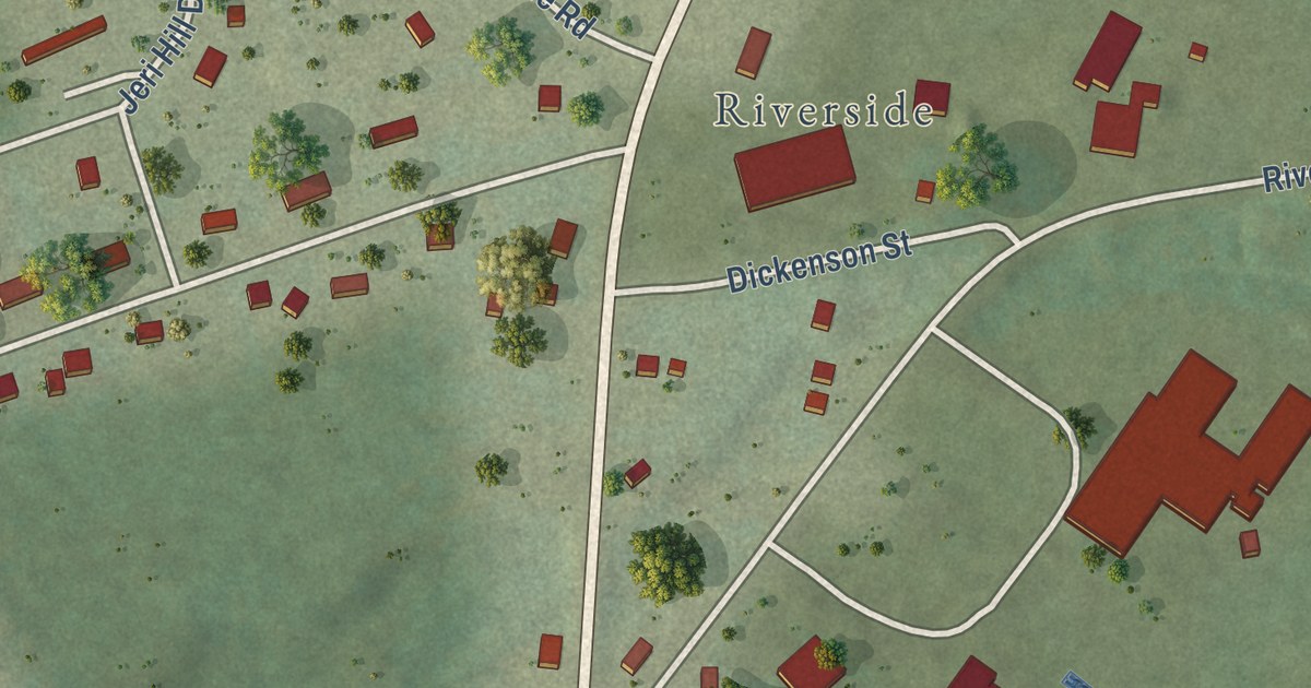
A detailed map of Underhill Flats, Vermont, showing every building in its true location, the roads by name, and shaded topographical relief.
Read More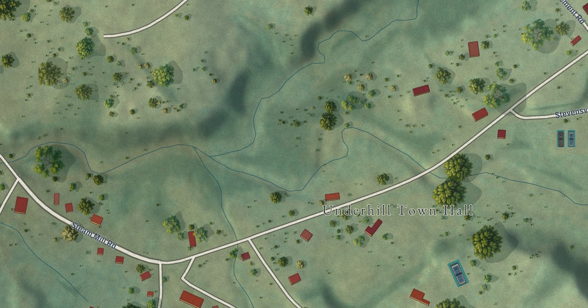
A detailed map of Underhill Center, Vermont, showing every building in its true location, the roads by name, and shaded topographical relief.
Read More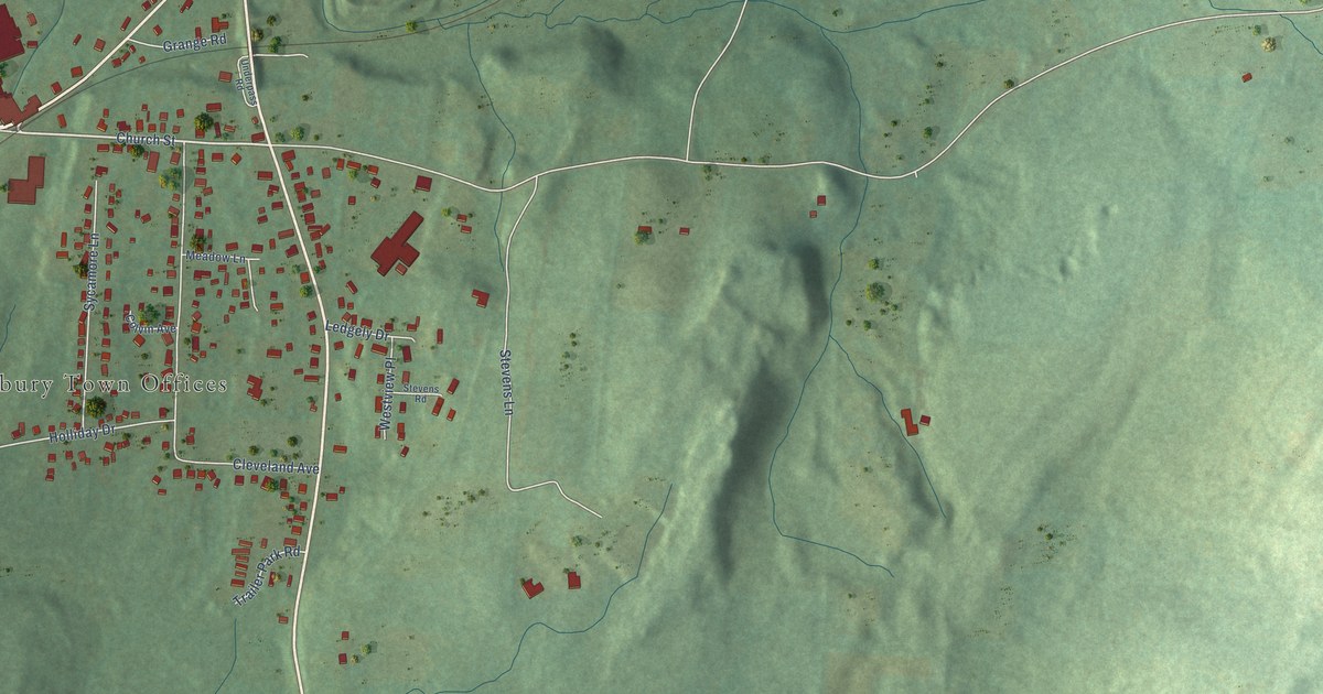
A detailed map of South Shaftsbury, Vermont, showing every building in its true location, the roads by name, and shaded topographical relief.
Read More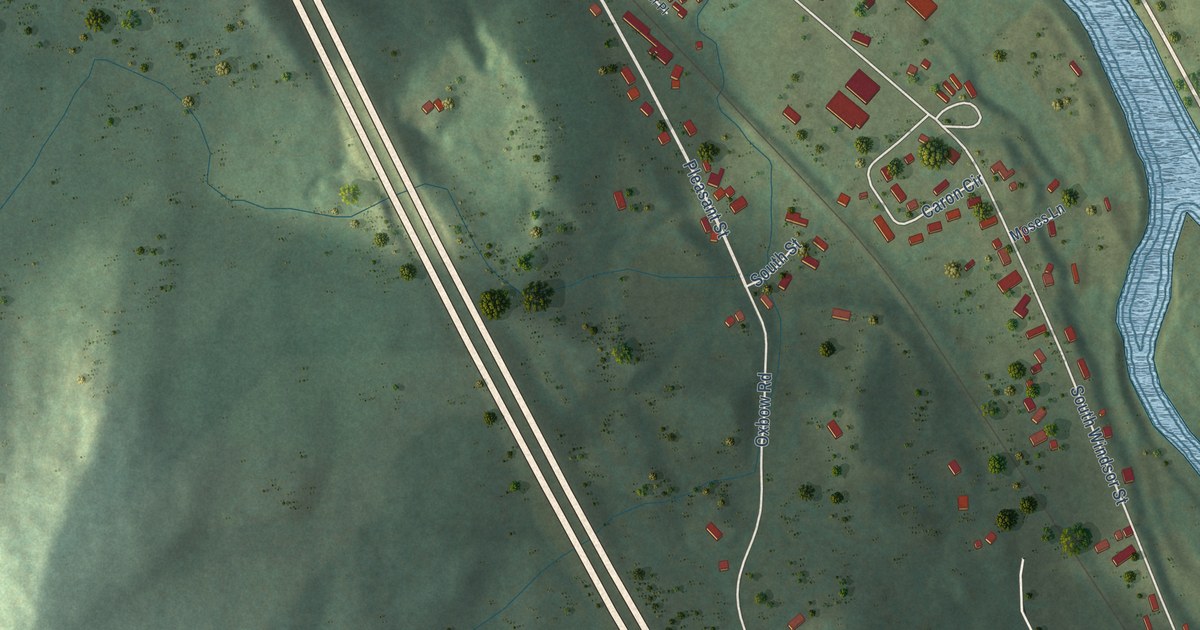
A detailed map of South Royalton, Vermont, showing every building in its true location, the roads by name, and shaded topographical relief.
Read More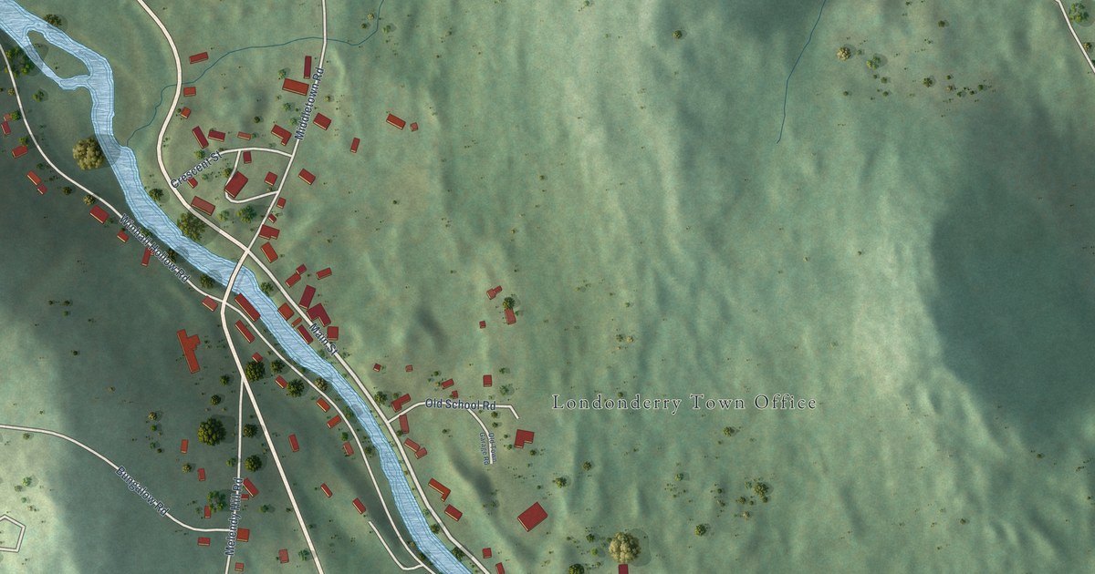
A detailed map of South Londonderry, Vermont, showing every building in its true location, the roads by name, and shaded topographical relief.
Read More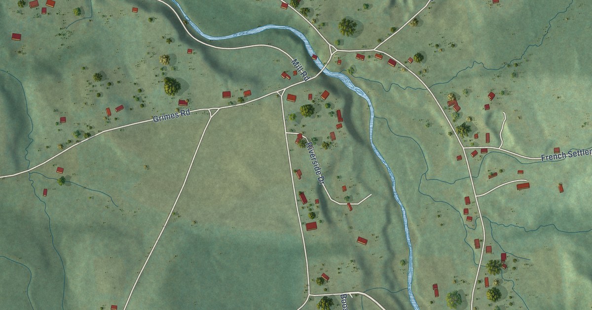
A detailed map of South Lincoln, Vermont, showing every building in its true location, the roads by name, and shaded topographical relief.
Read More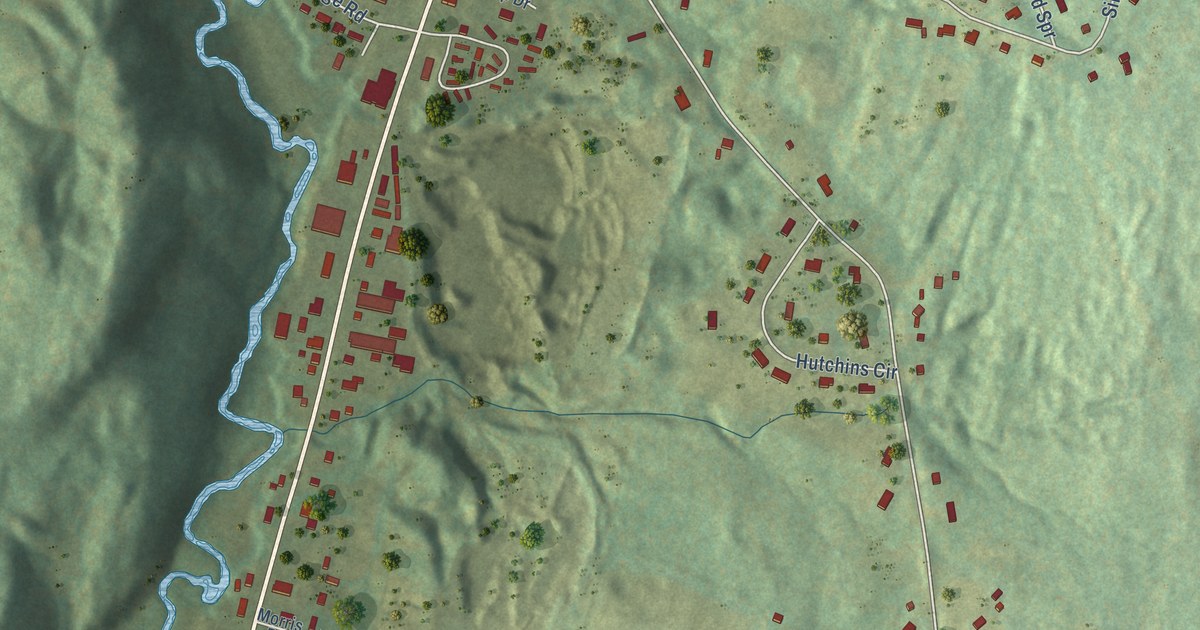
A detailed map of South Barre, Vermont, showing every building in its true location, the roads by name, and shaded topographical relief.
Read More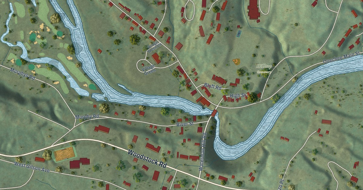
A detailed map of Quechee, Vermont, showing every building in its true location, the roads by name, and shaded topographical relief.
Read More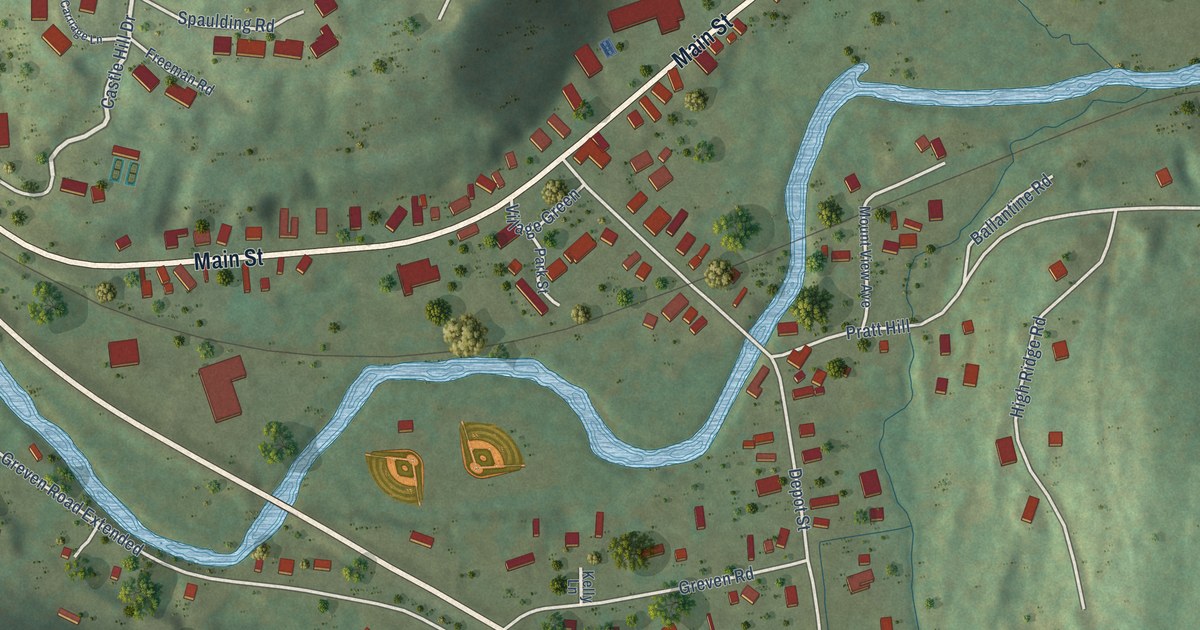
A detailed map of Proctorsville, Vermont, showing every building in its true location, the roads by name, and shaded topographical relief.
Read More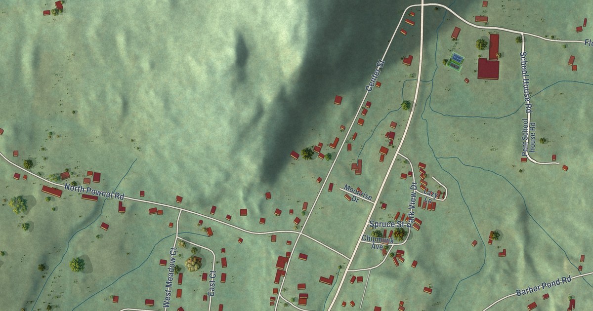
A detailed map of Pownal Center, Vermont, showing every building in its true location, the roads by name, and shaded topographical relief.
Read More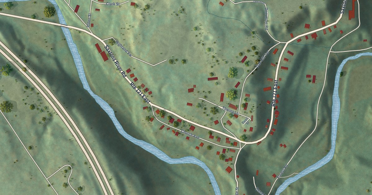
A detailed map of North Westminster, Vermont, showing every building in its true location, the roads by name, and shaded topographical relief.
Read More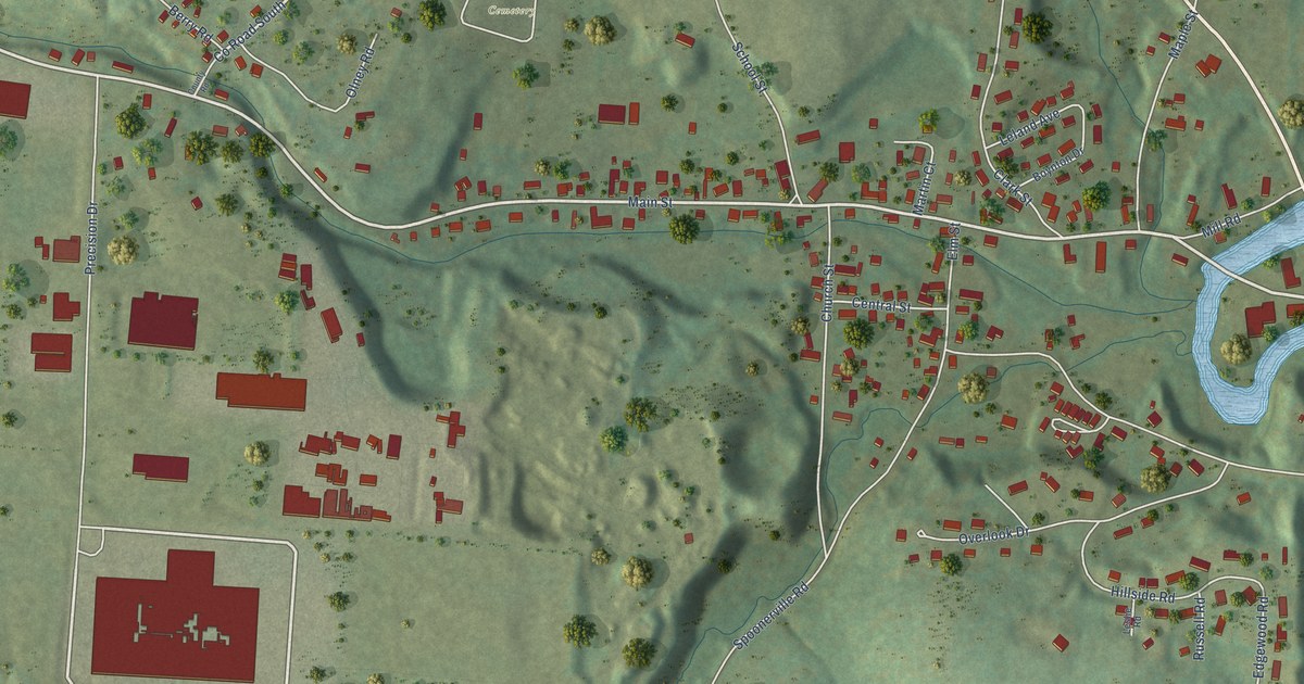
A detailed map of North Springfield, Vermont, showing every building in its true location, the roads by name, and shaded topographical relief.
Read More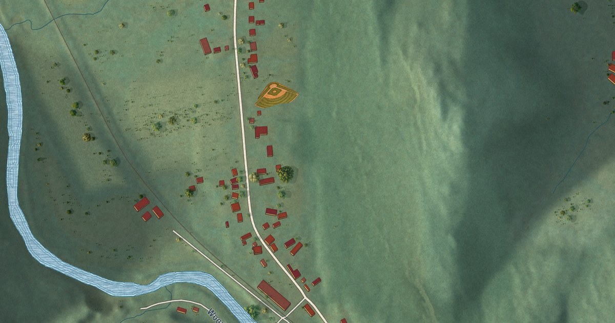
A detailed map of North Pownal, Vermont, showing every building in its true location, the roads by name, and shaded topographical relief.
Read More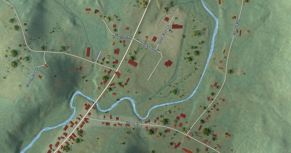
A detailed map of North Hyde Park, Vermont, showing every building in its true location, the roads by name, and shaded topographical relief.
Read More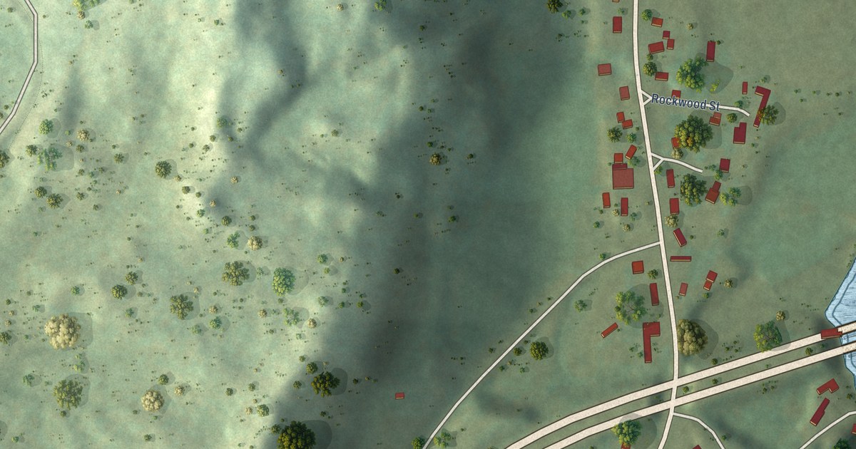
A detailed map of North Hartland, Vermont, showing every building in its true location, the roads by name, and shaded topographical relief.
Read More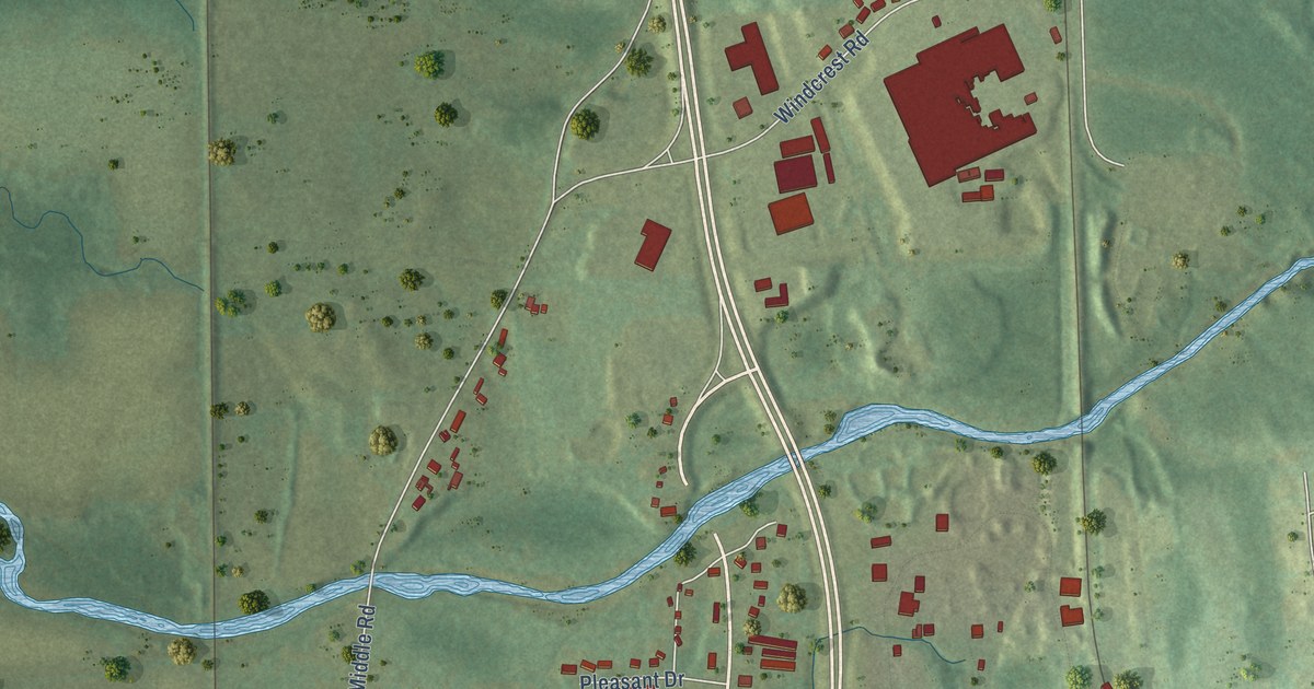
A detailed map of North Clarendon, Vermont, showing every building in its true location, the roads by name, and shaded topographical relief.
Read More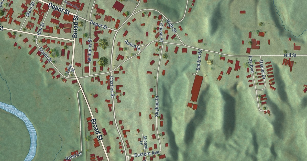
A detailed map of Lyndonville, Vermont, showing every building in its true location, the roads by name, and shaded topographical relief.
Read More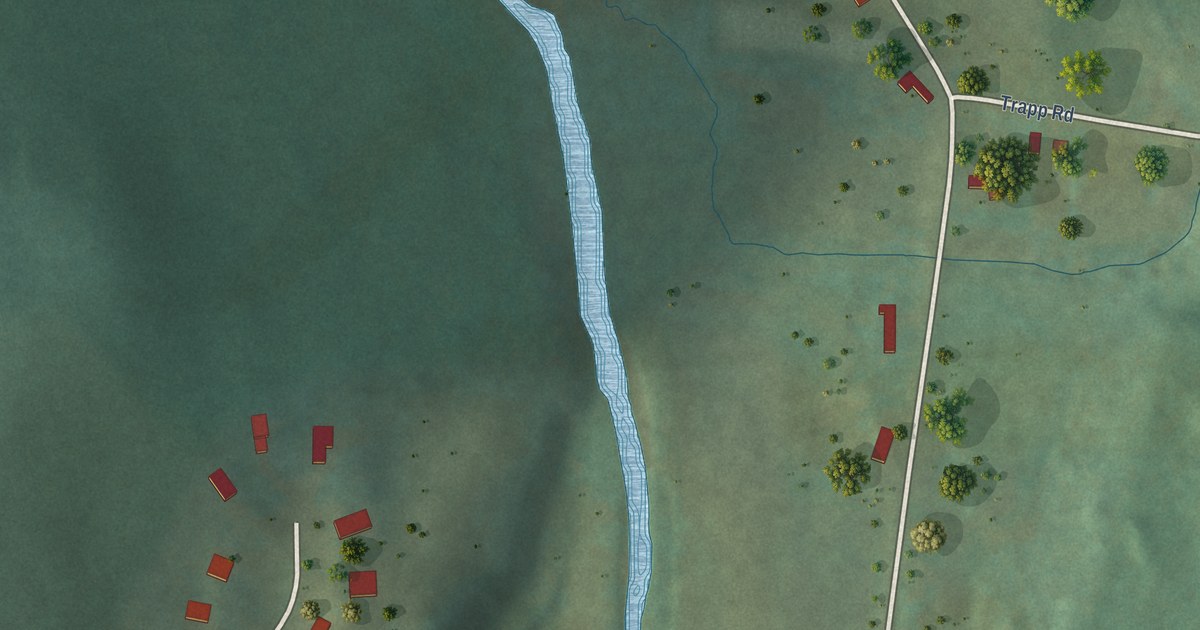
A detailed map of Huntington Center, Vermont, showing every building in its true location, the roads by name, and shaded topographical relief.
Read More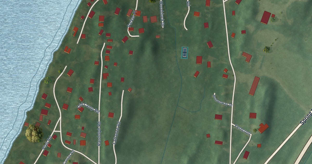
A detailed map of Highgate Springs, Vermont, showing every building in its true location, the roads by name, and shaded topographical relief.
Read More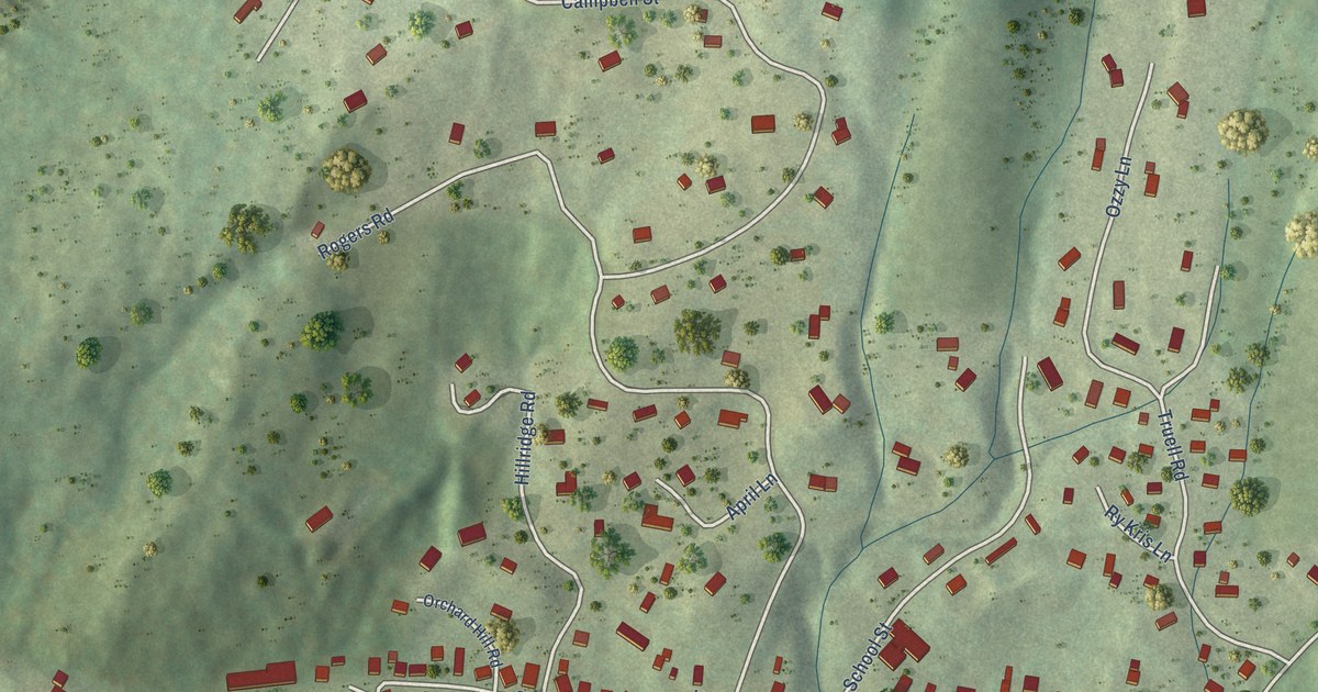
A detailed map of Hartford Village, Vermont, showing every building in its true location, the roads by name, and shaded topographical relief.
Read More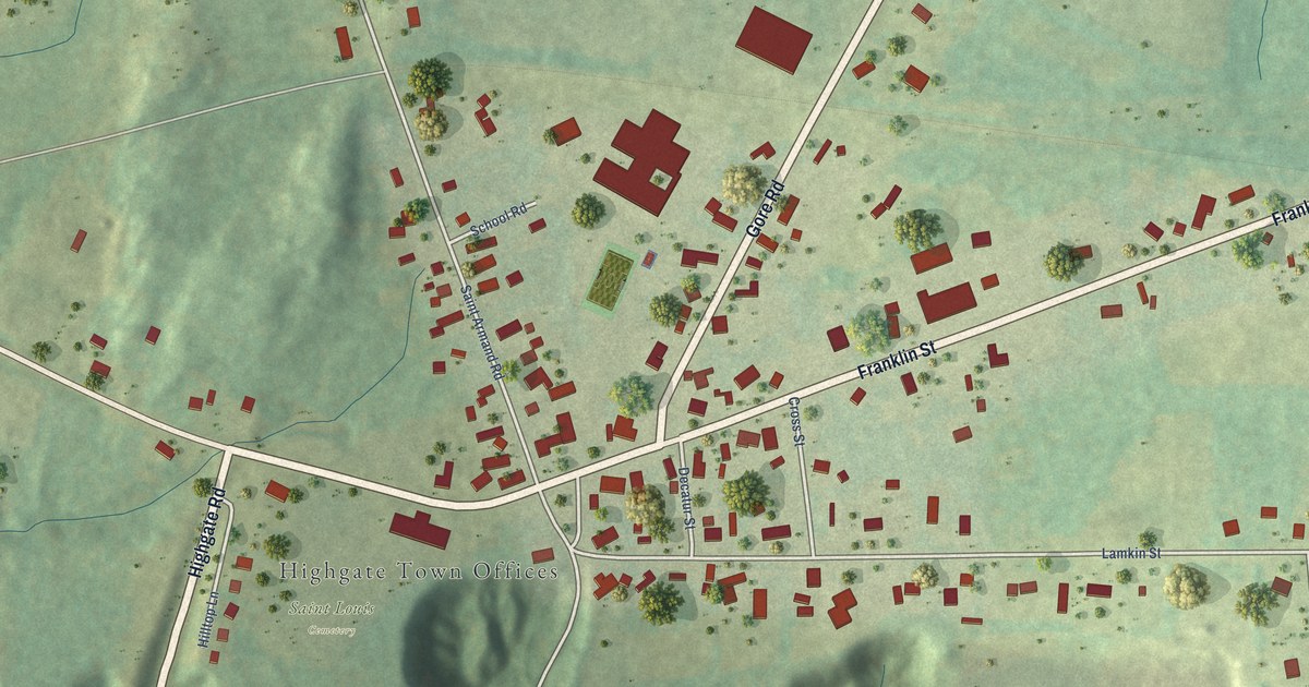
A detailed map of Highgate Center, Vermont, showing every building in its true location, the roads by name, and shaded topographical relief.
Read More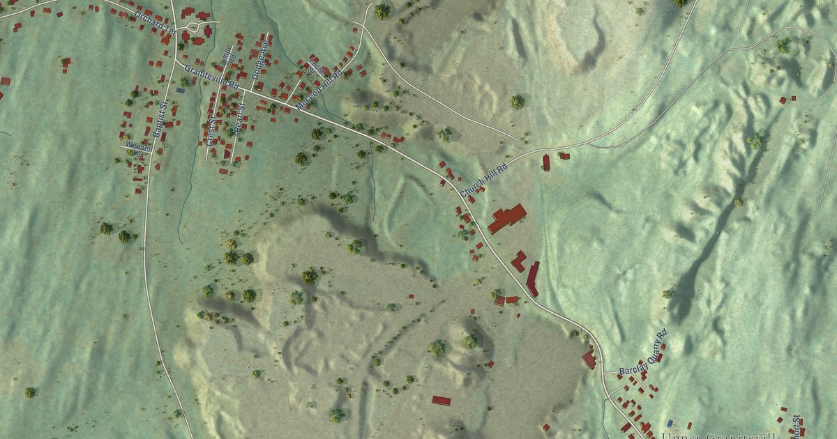
A detailed map of Graniteville, Vermont, showing every building in its true location, the roads by name, and shaded topographical relief.
Read More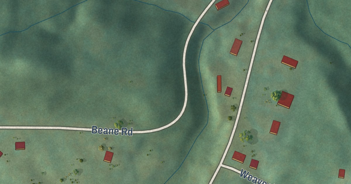
A detailed map of Hanksville, Vermont, showing every building in its true location, the roads by name, and shaded topographical relief.
Read More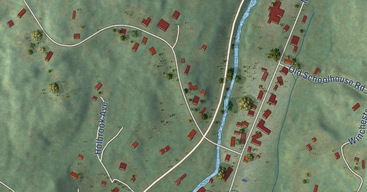
A detailed map of Greensboro Bend, Vermont, showing every building in its true location, the roads by name, and shaded topographical relief.
Read More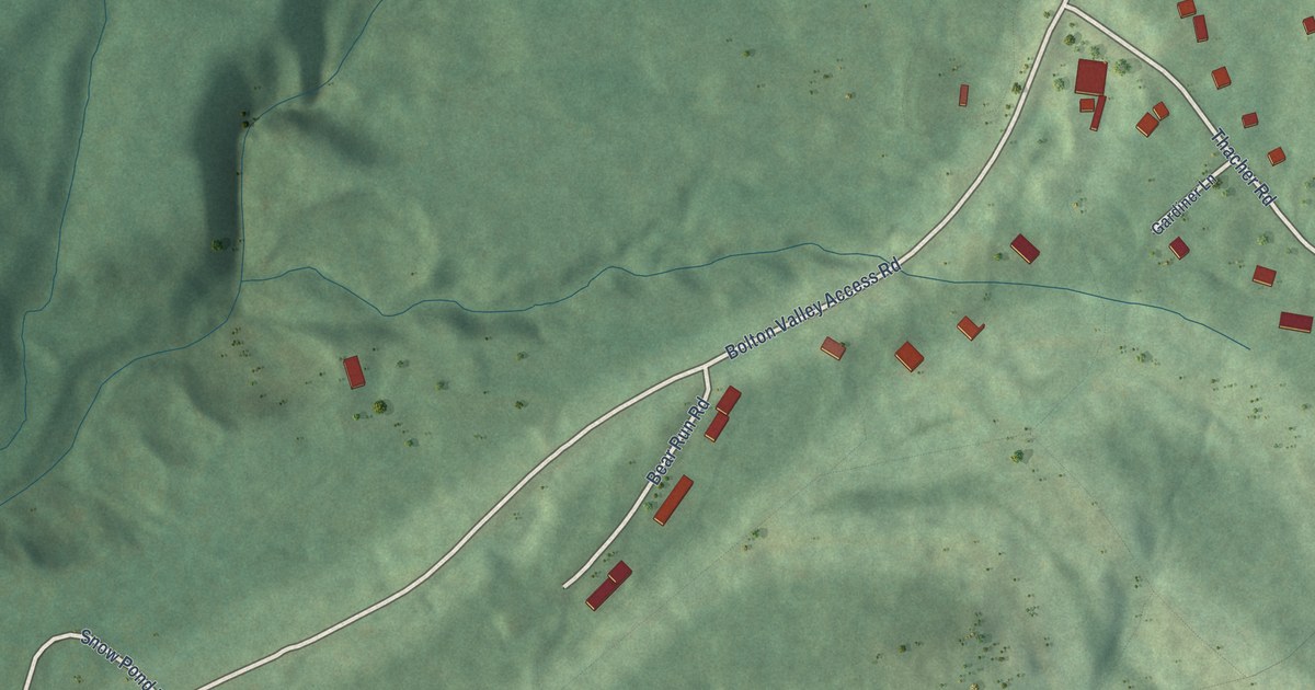
A detailed map of Bolton Valley, Vermont, showing every building in its true location, the roads by name, and shaded topographical relief.
Read More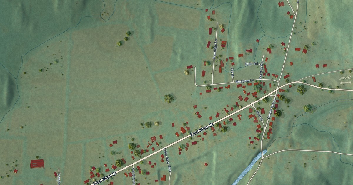
A detailed map of East Poultney, Vermont, showing every building in its true location, the roads by name, and shaded topographical relief.
Read More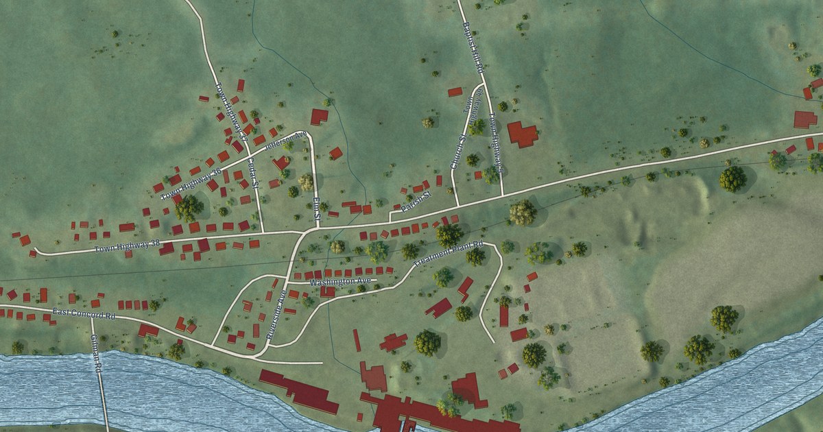
A detailed map of Gilman, Vermont, showing every building in its true location, the roads by name, and shaded topographical relief.
Read More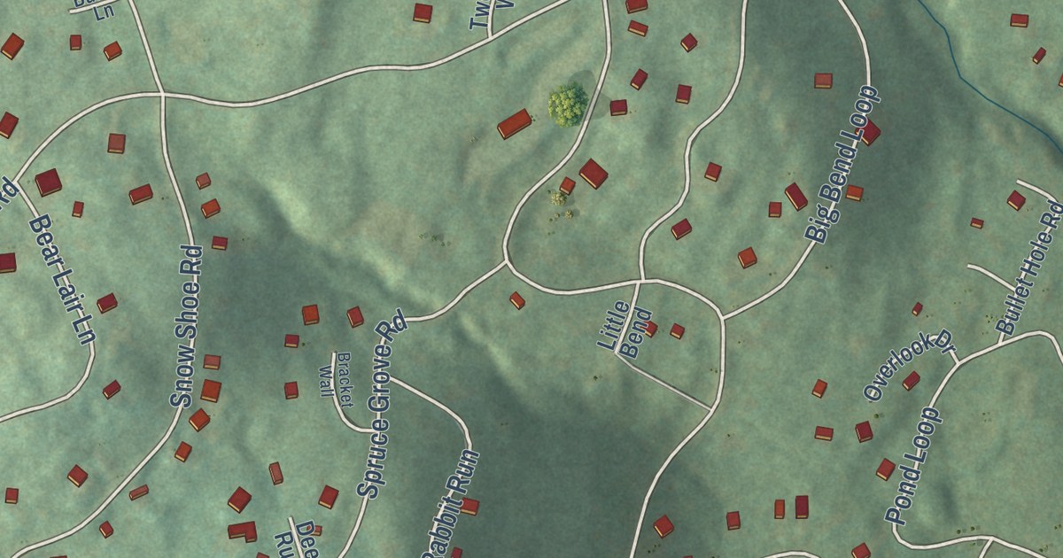
A detailed map of Chimney Hill, Vermont, showing every building in its true location, the roads by name, and shaded topographical relief.
Read More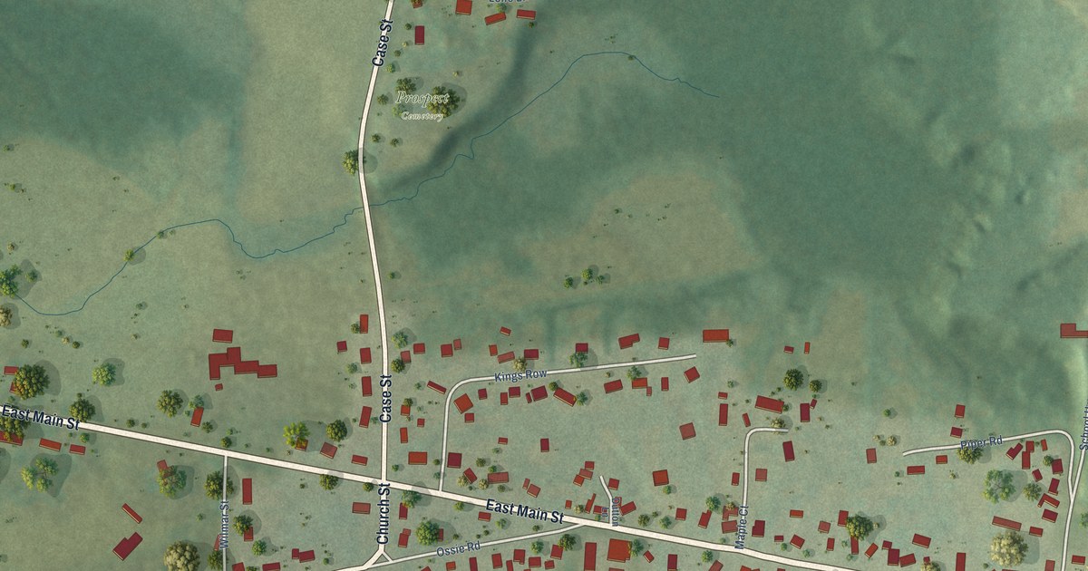
A detailed map of East Middlebury, Vermont, showing every building in its true location, the roads by name, and shaded topographical relief.
Read More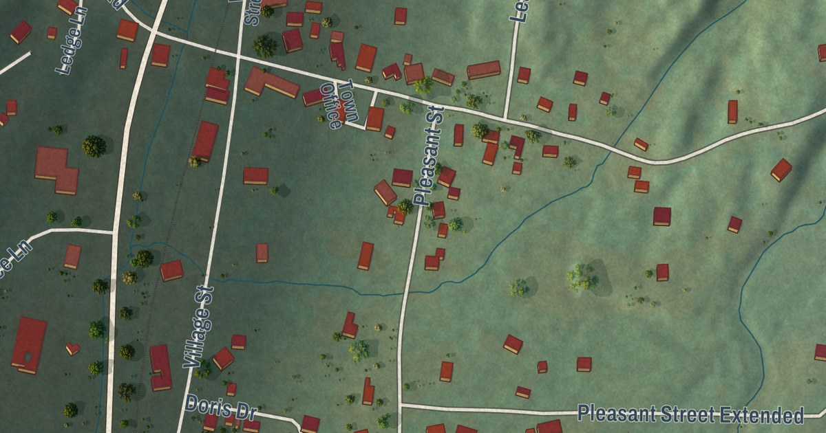
A detailed map of East Dorset, Vermont, showing every building in its true location, the roads by name, and shaded topographical relief.
Read More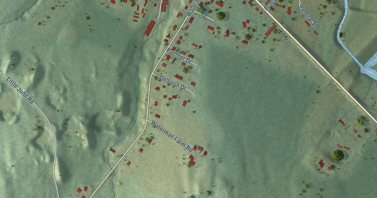
A detailed map of East Barre, Vermont, showing every building in its true location, the roads by name, and shaded topographical relief.
Read More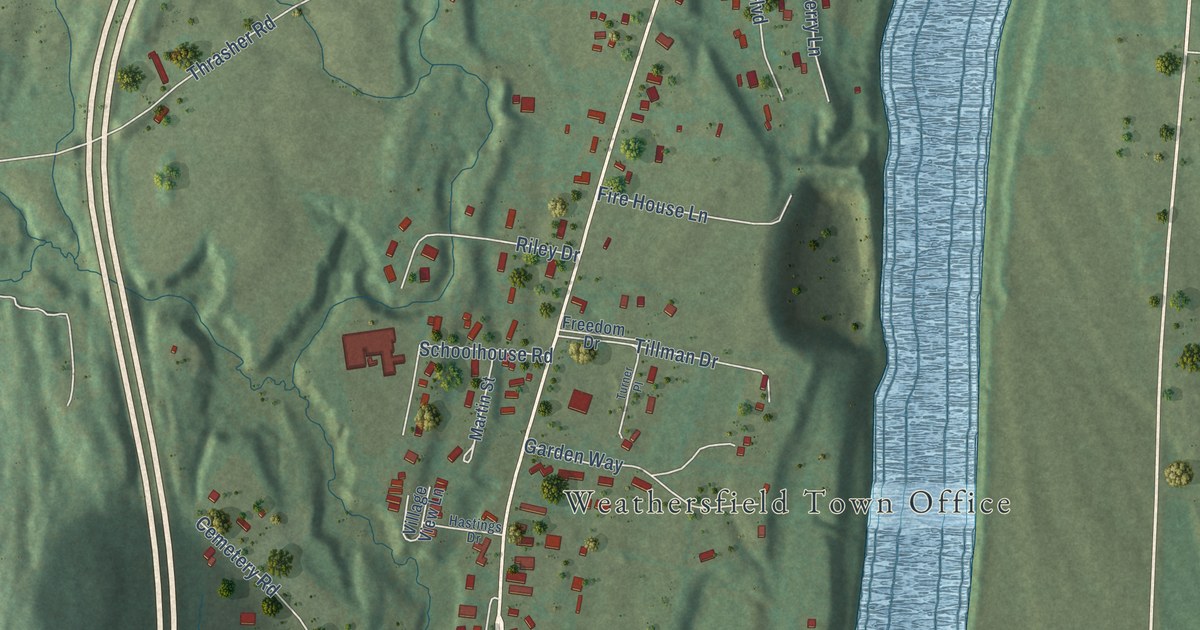
A detailed map of Ascutney, Vermont, showing every building in its true location, the roads by name, and shaded topographical relief.
Read More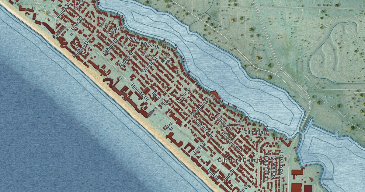
A detailed map of Lower Grand Lagoon, Florida, showing every building in its true location, the roads by name, and shaded topographical relief.
Read More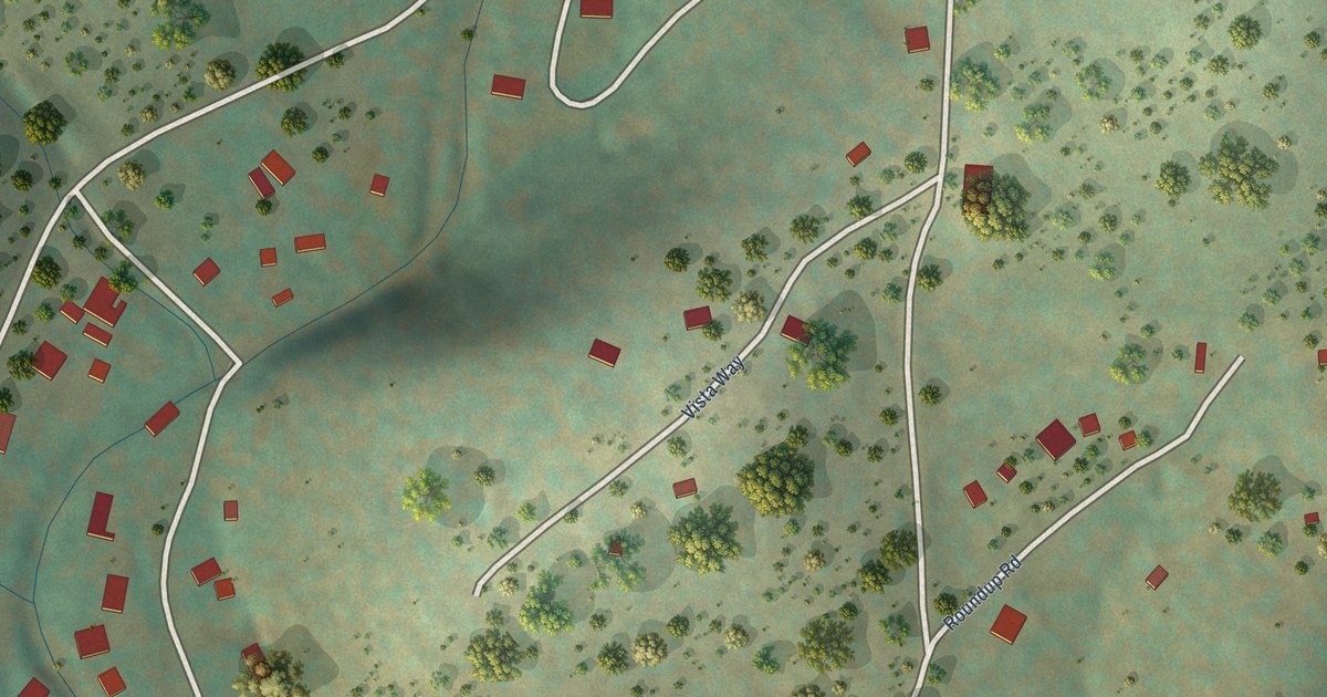
A detailed map of Whispering Pines, Arizona, showing every building in its true location, the roads by name, and shaded topographical relief.
Read More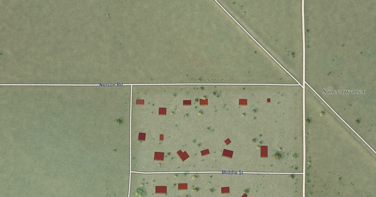
A detailed map of Sweet Water Village, Arizona, showing every building in its true location, the roads by name, and shaded topographical relief.
Read More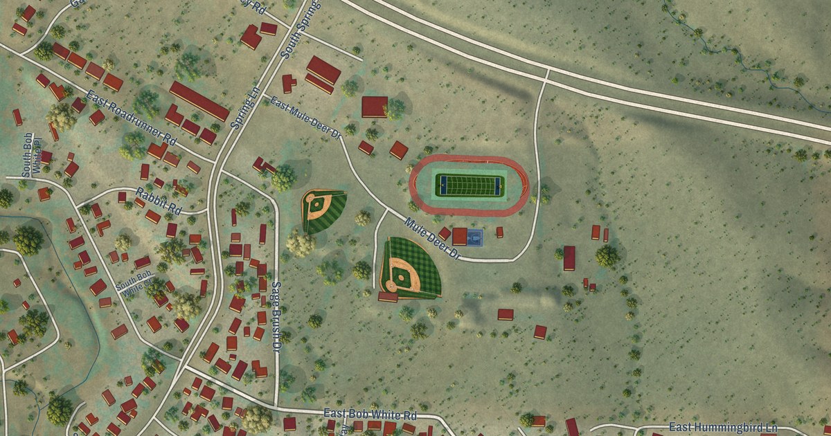
A detailed map of Spring Valley, Arizona, showing every building in its true location, the roads by name, and shaded topographical relief.
Read More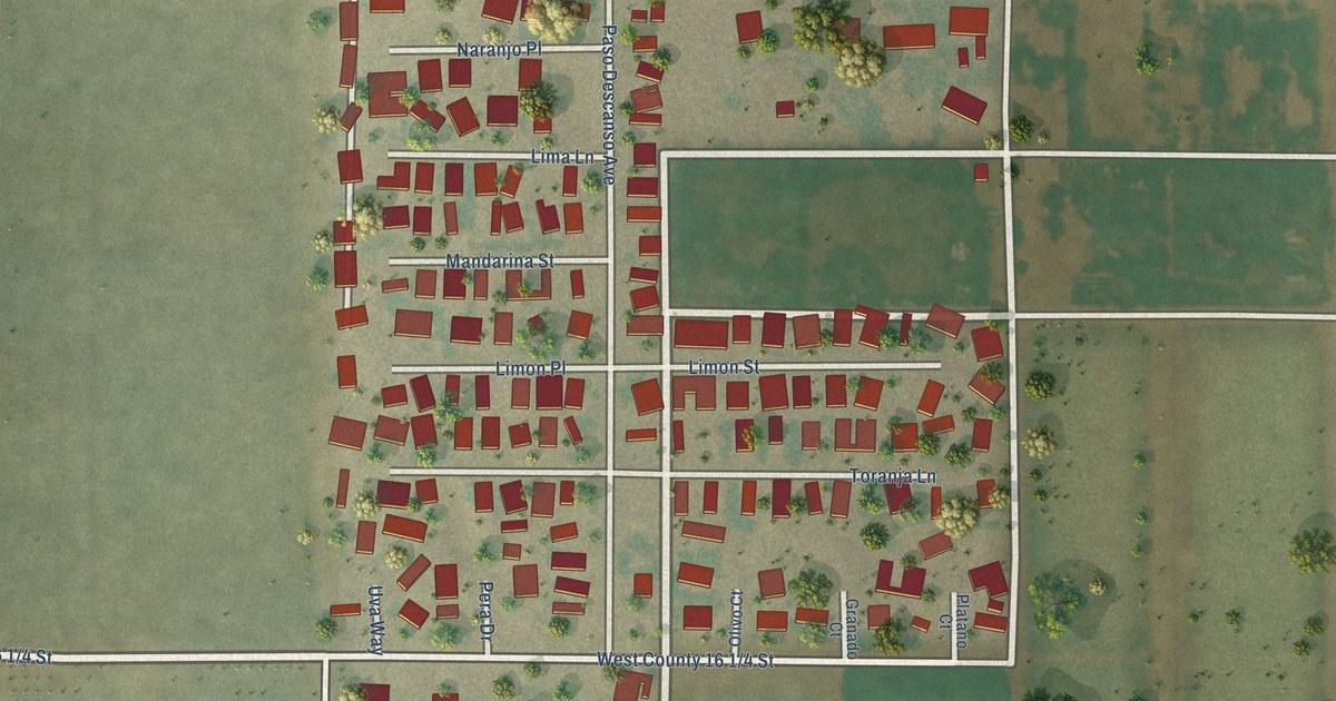
A detailed map of Rancho Mesa Verde, Arizona, showing every building in its true location, the roads by name, and shaded topographical relief.
Read More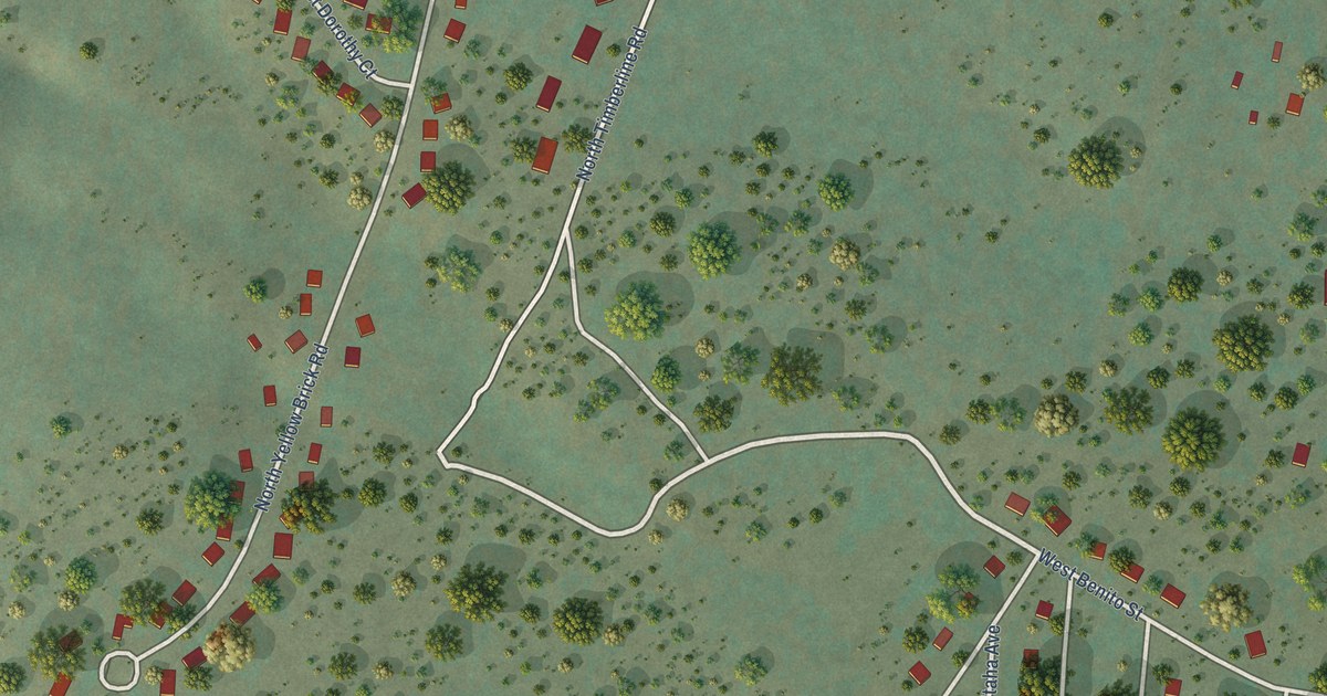
A detailed map of Rainbow City, Arizona, showing every building in its true location, the roads by name, and shaded topographical relief.
Read More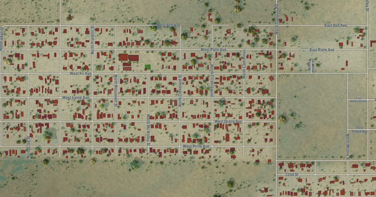
A detailed map of Pirtleville, Arizona, showing every building in its true location, the roads by name, and shaded topographical relief.
Read More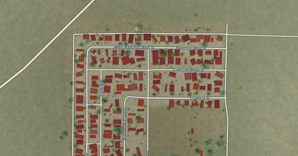
A detailed map of Orange Grove Mobile Manor, Arizona, showing every building in its true location, the roads by name, and shaded topographical relief.
Read More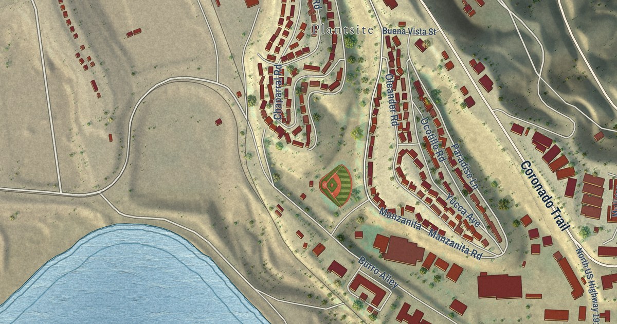
A detailed map of Morenci, Arizona, showing every building in its true location, the roads by name, and shaded topographical relief.
Read More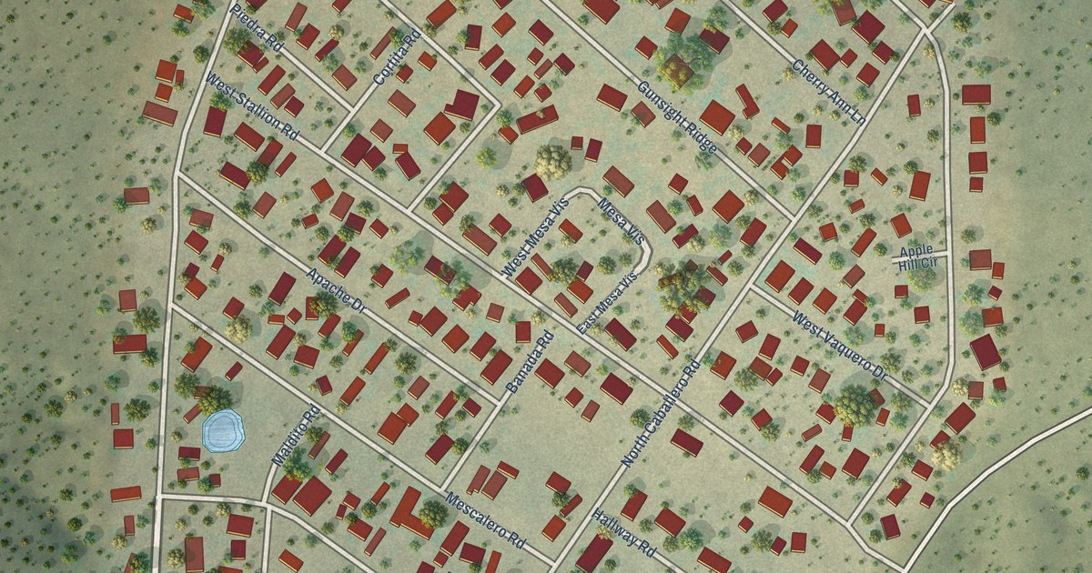
A detailed map of Mesa del Caballo, Arizona, showing every building in its true location, the roads by name, and shaded topographical relief.
Read More















