Detailed Map of Kachina Village, Arizona
A detailed map of Kachina Village, Arizona, showing every building in its true location, the roads by name, and shaded topographical relief.
Read More
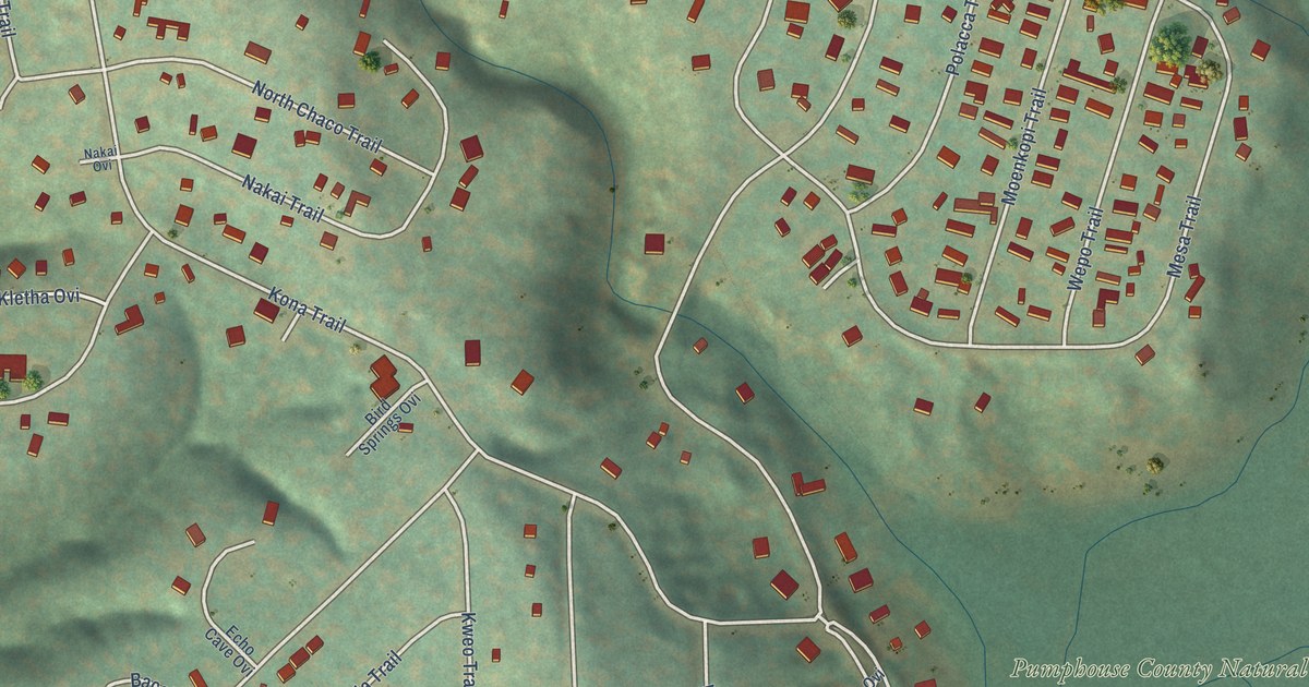
A detailed map of Kachina Village, Arizona, showing every building in its true location, the roads by name, and shaded topographical relief.
Read More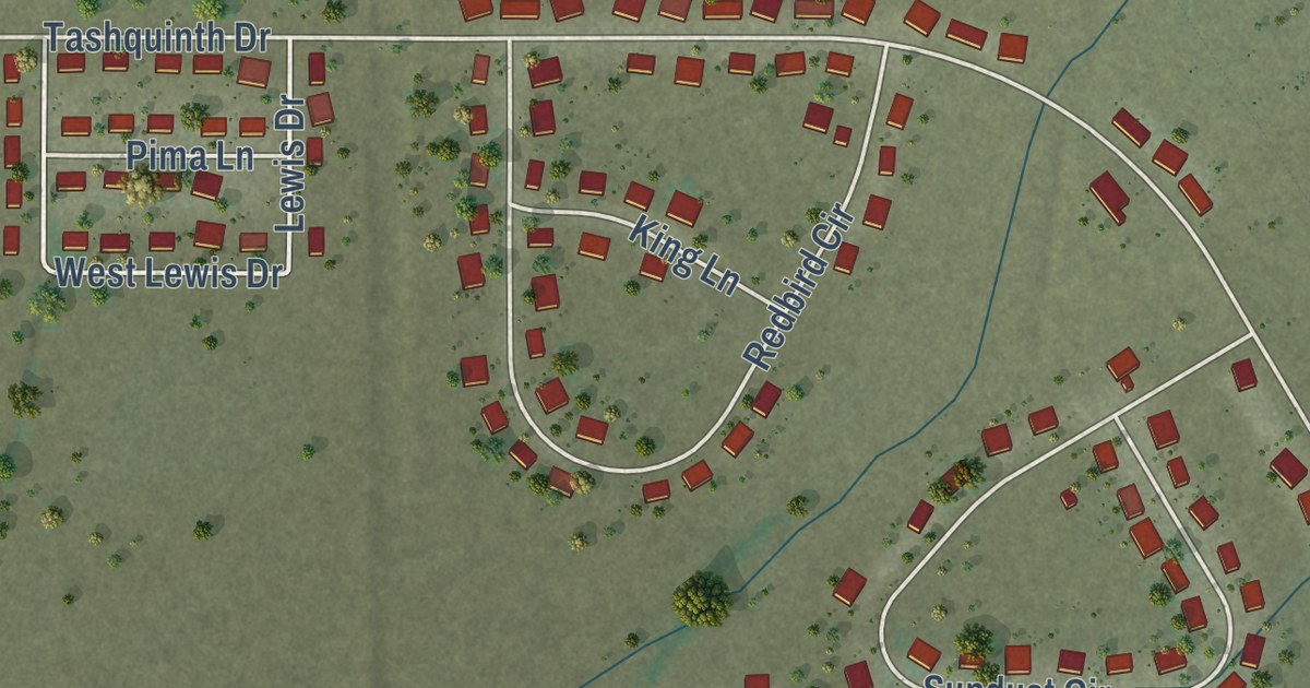
A detailed map of Komatke, Arizona, showing every building in its true location, the roads by name, and shaded topographical relief.
Read More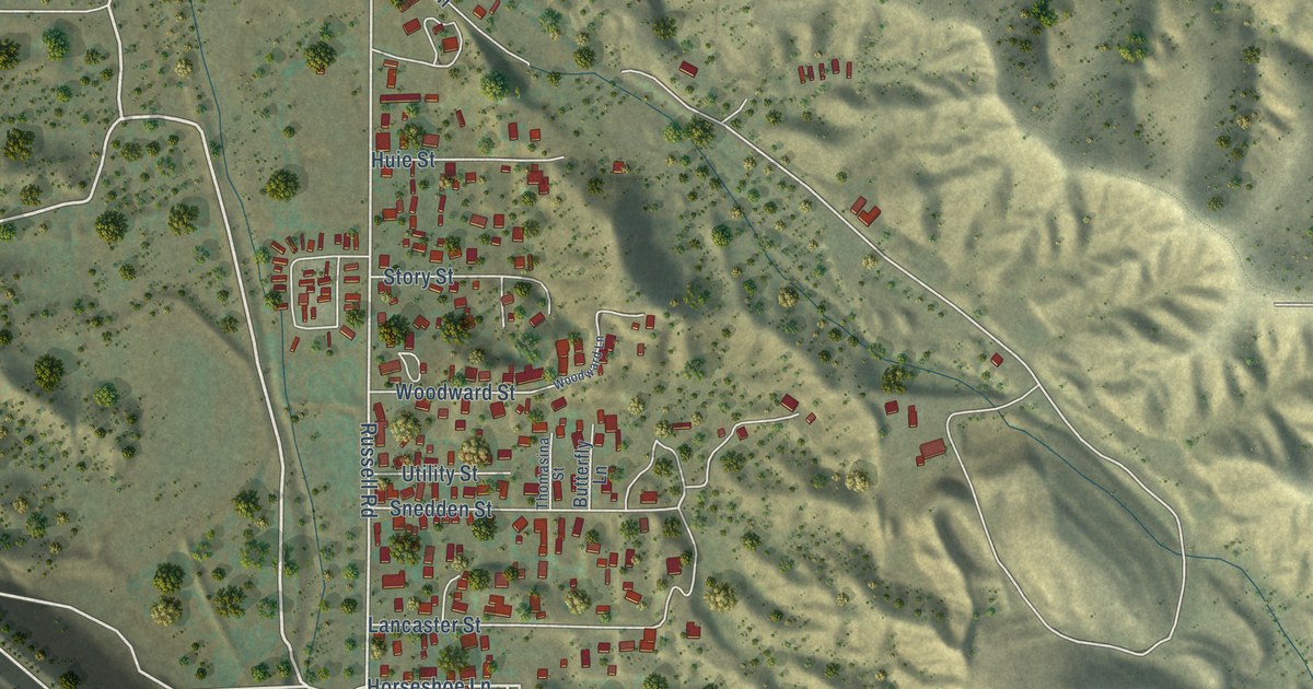
A detailed map of Central Heights-Midland City, Arizona, showing every building in its true location, the roads by name, and shaded topographical relief.
Read More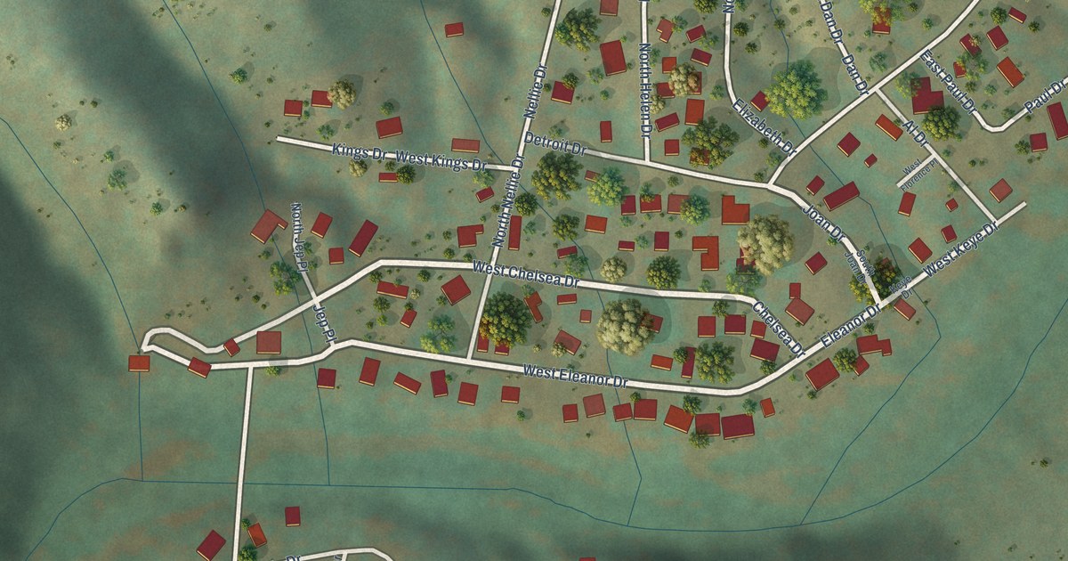
A detailed map of East Verde Estates, Arizona, showing every building in its true location, the roads by name, and shaded topographical relief.
Read More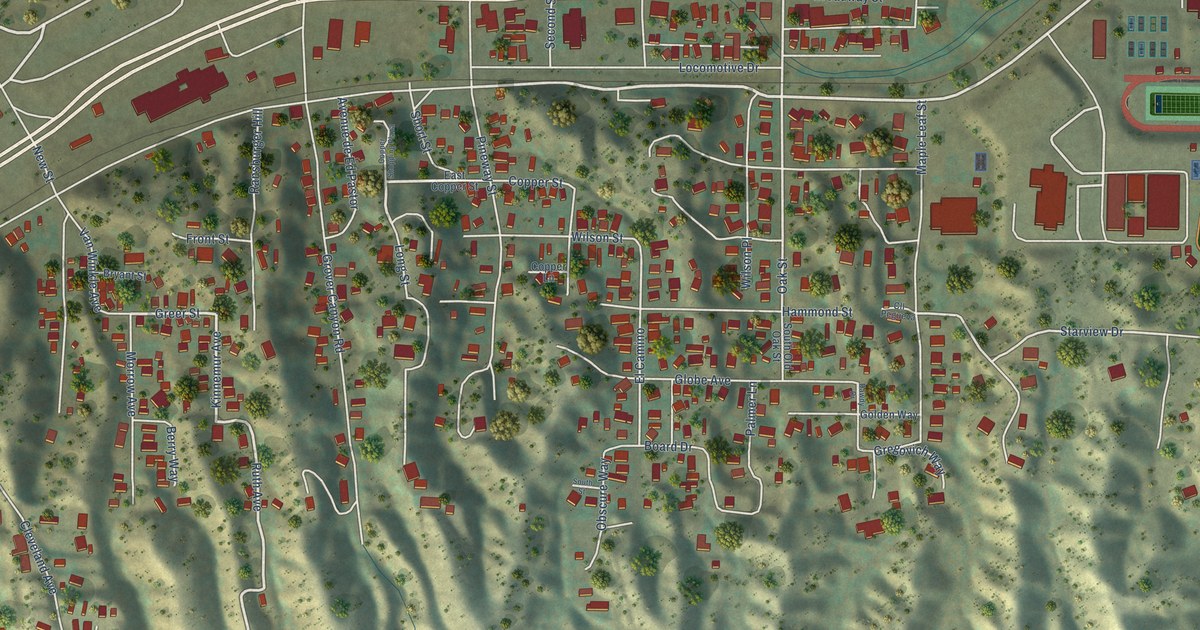
A detailed map of Claypool, Arizona, showing every building in its true location, the roads by name, and shaded topographical relief.
Read More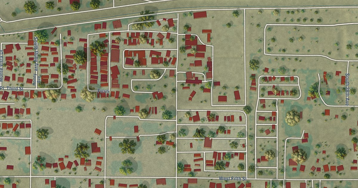
A detailed map of Avenue B and C, Arizona, showing every building in its true location, the roads by name, and shaded topographical relief.
Read More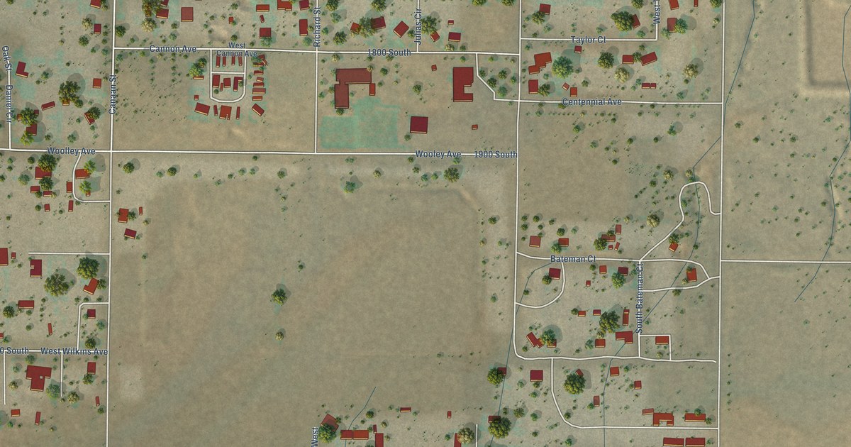
A detailed map of Centennial Park, Arizona, showing every building in its true location, the roads by name, and shaded topographical relief.
Read More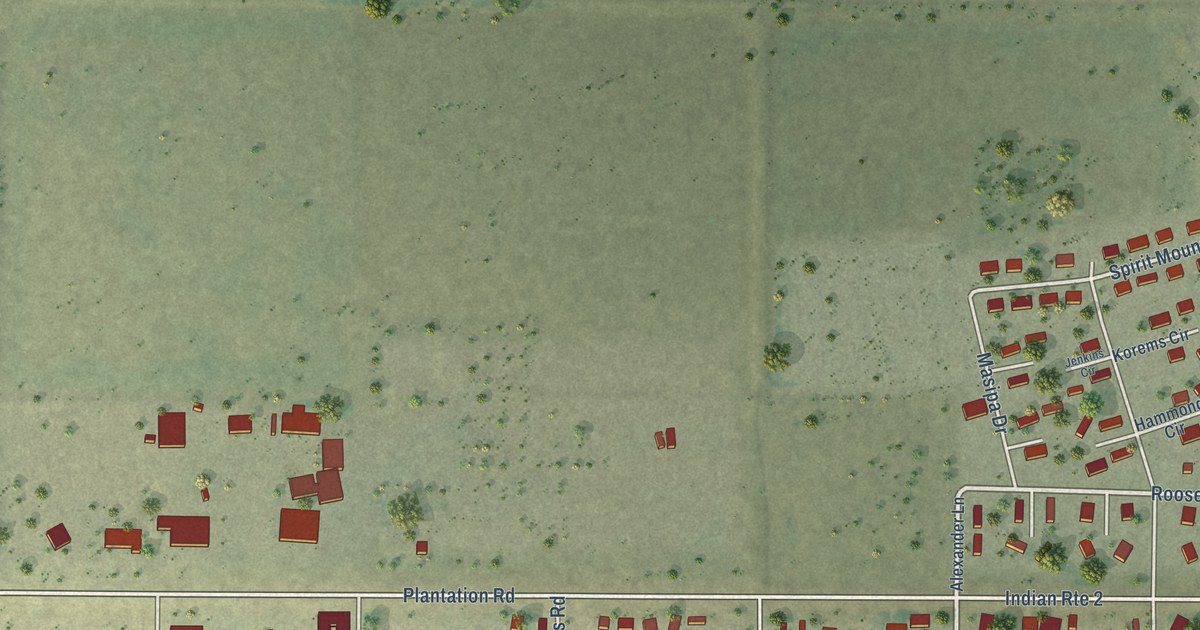
A detailed map of Arizona Village, Arizona, showing every building in its true location, the roads by name, and shaded topographical relief.
Read More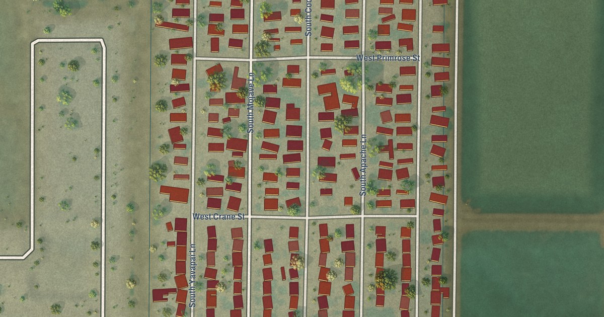
A detailed map of Donovan Estates, Arizona, showing every building in its true location, the roads by name, and shaded topographical relief.
Read More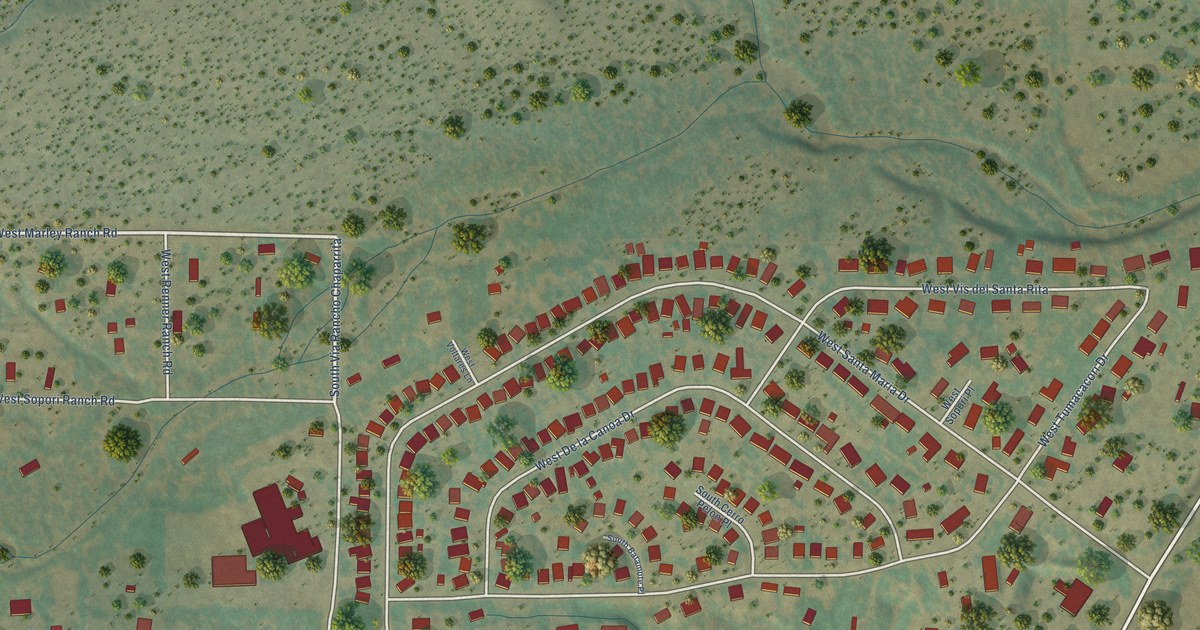
A detailed map of Arivaca Junction, Arizona, showing every building in its true location, the roads by name, and shaded topographical relief.
Read More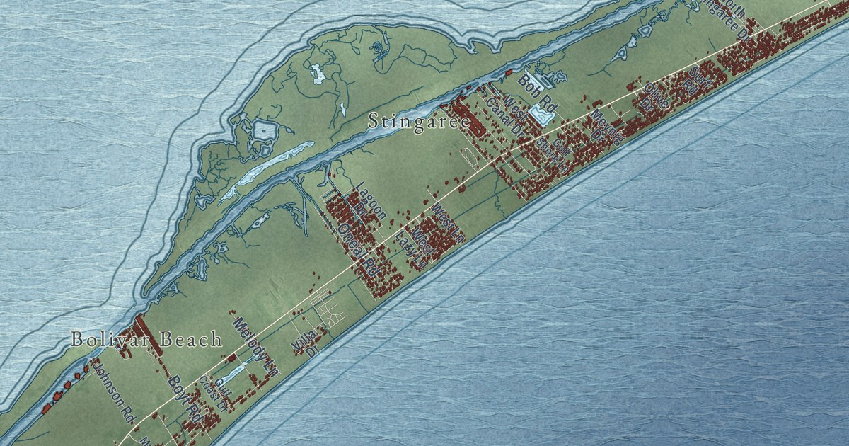
A detailed map of Bolivar Peninsula, Texas, showing every building in its true location, the roads by name, and shaded topographical relief.
Read More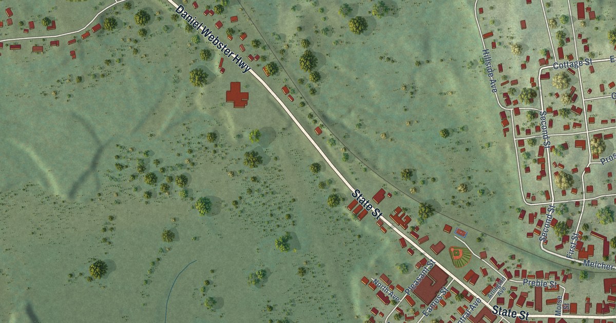
A detailed map of Groveton, New Hampshire, showing every building in its true location, the roads by name, and shaded topographical relief.
Read More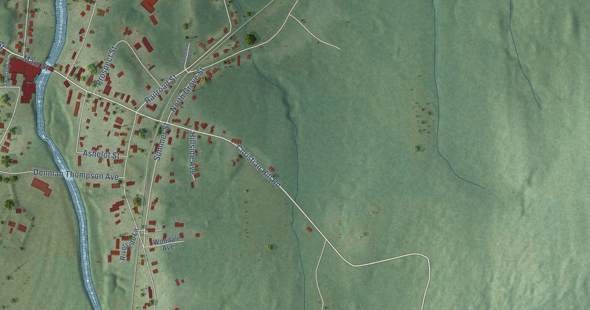
A detailed map of West Swanzey, New Hampshire, showing every building in its true location, the roads by name, and shaded topographical relief.
Read More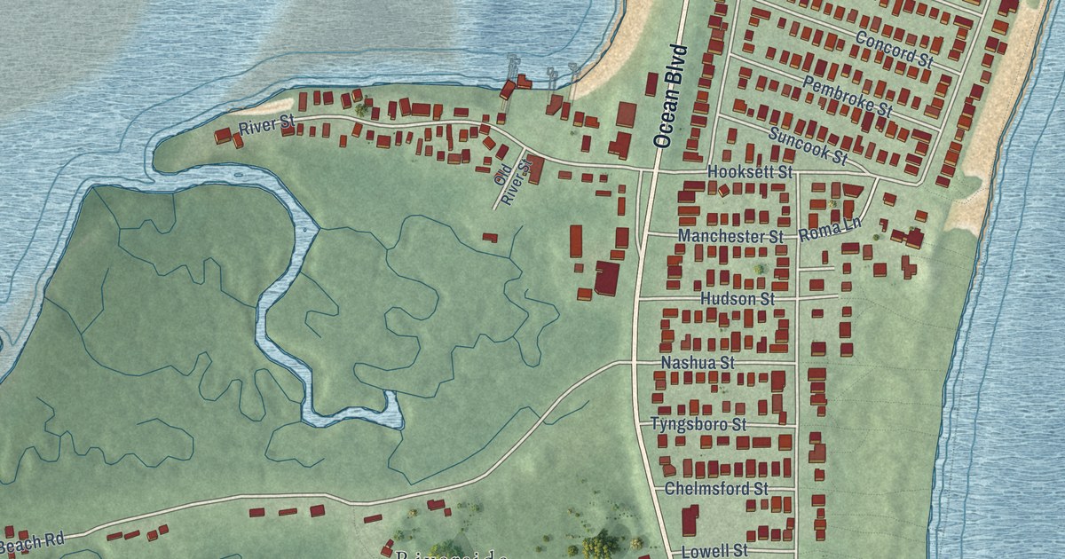
A detailed map of Seabrook Beach, New Hampshire, showing every building in its true location, the roads by name, and shaded topographical relief.
Read More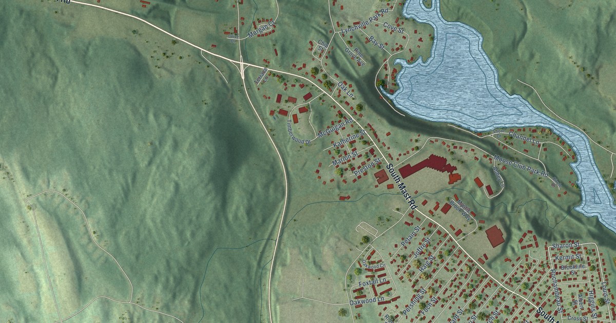
A detailed map of Pinardville, New Hampshire, showing every building in its true location, the roads by name, and shaded topographical relief.
Read More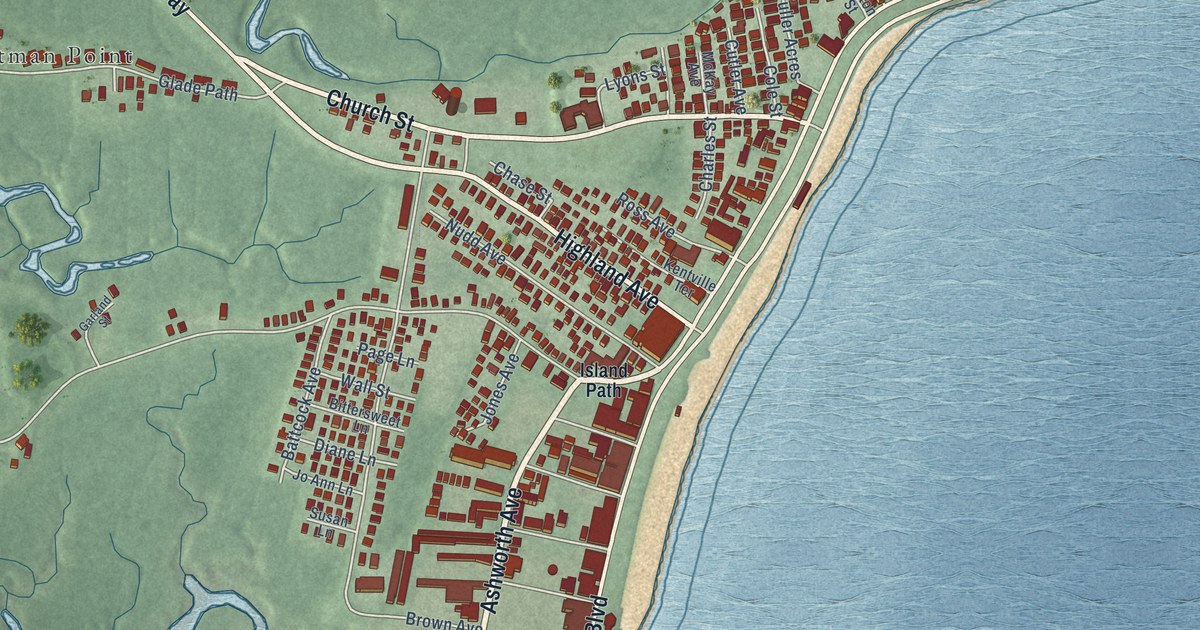
A detailed map of Hampton Beach, New Hampshire, showing every building in its true location, the roads by name, and shaded topographical relief.
Read More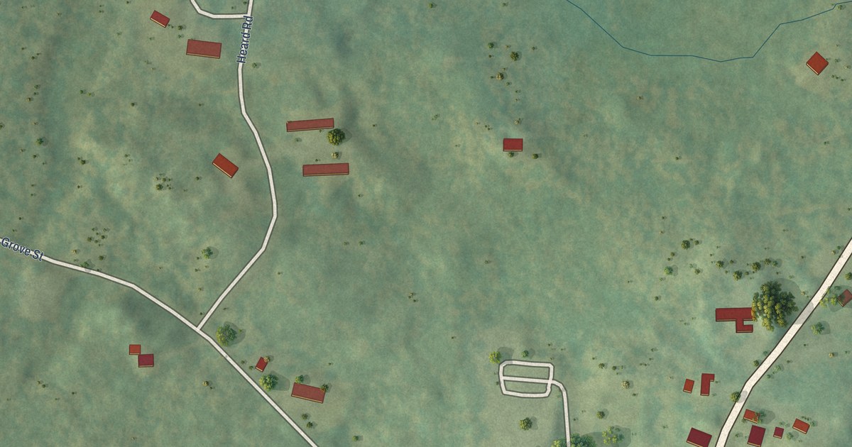
A detailed map of Center Sandwich, New Hampshire, showing every building in its true location, the roads by name, and shaded topographical relief.
Read More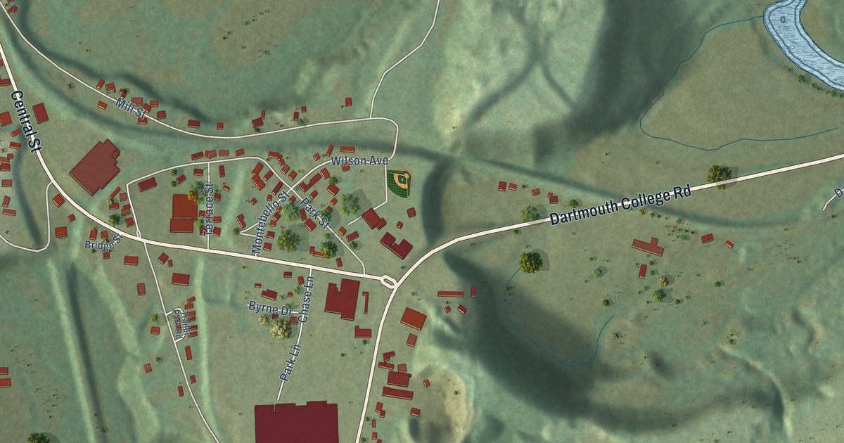
A detailed map of Woodsville, New Hampshire, showing every building in its true location, the roads by name, and shaded topographical relief.
Read More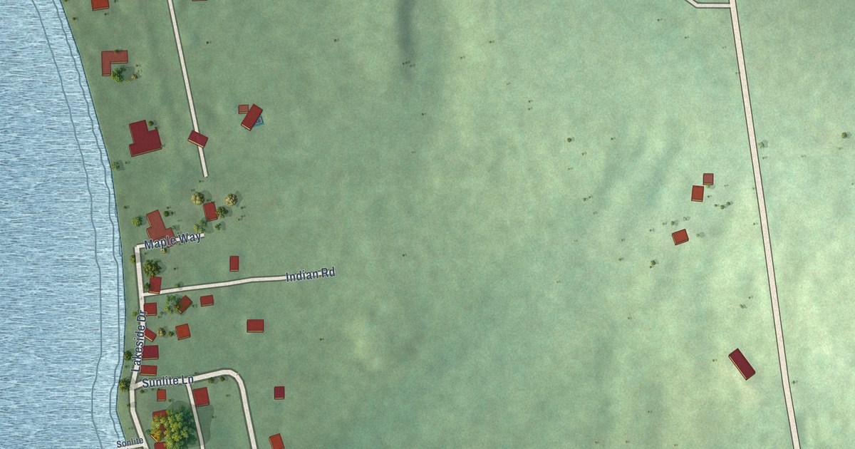
A detailed map of Blodgett Landing, New Hampshire, showing every building in its true location, the roads by name, and shaded topographical relief.
Read More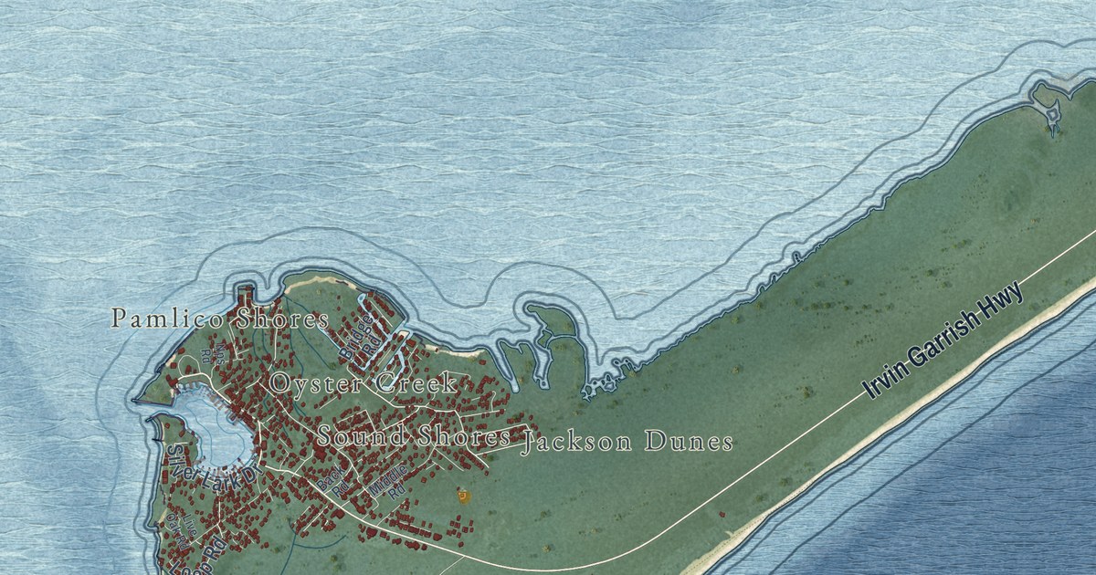
A detailed map of Ocracoke, North Carolina, showing every building in its true location, the roads by name, and shaded topographical relief.
Read More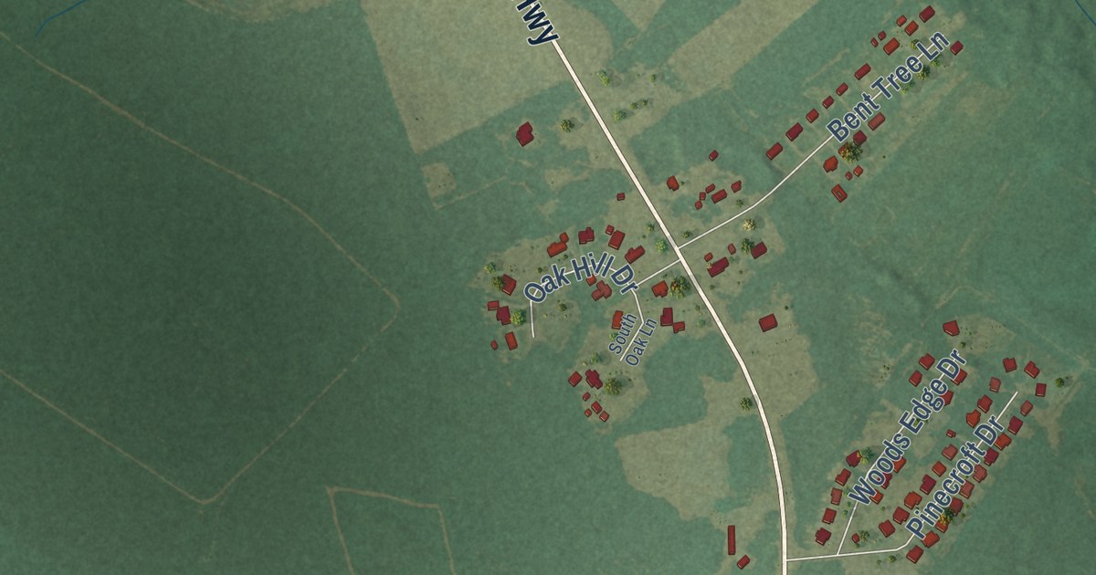
A detailed map of Spivey’s Corner, North Carolina, showing every building in its true location, the roads by name, and shaded topographical relief.
Read More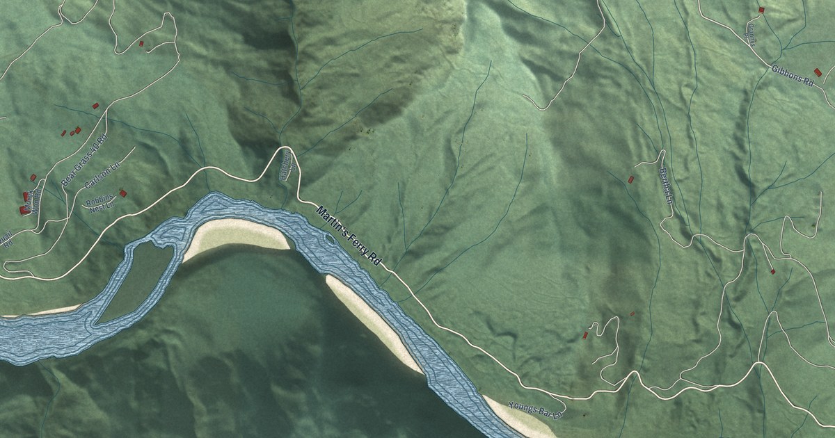
A detailed map of Kep’el, California, showing every building in its true location, the roads by name, and shaded topographical relief.
Read More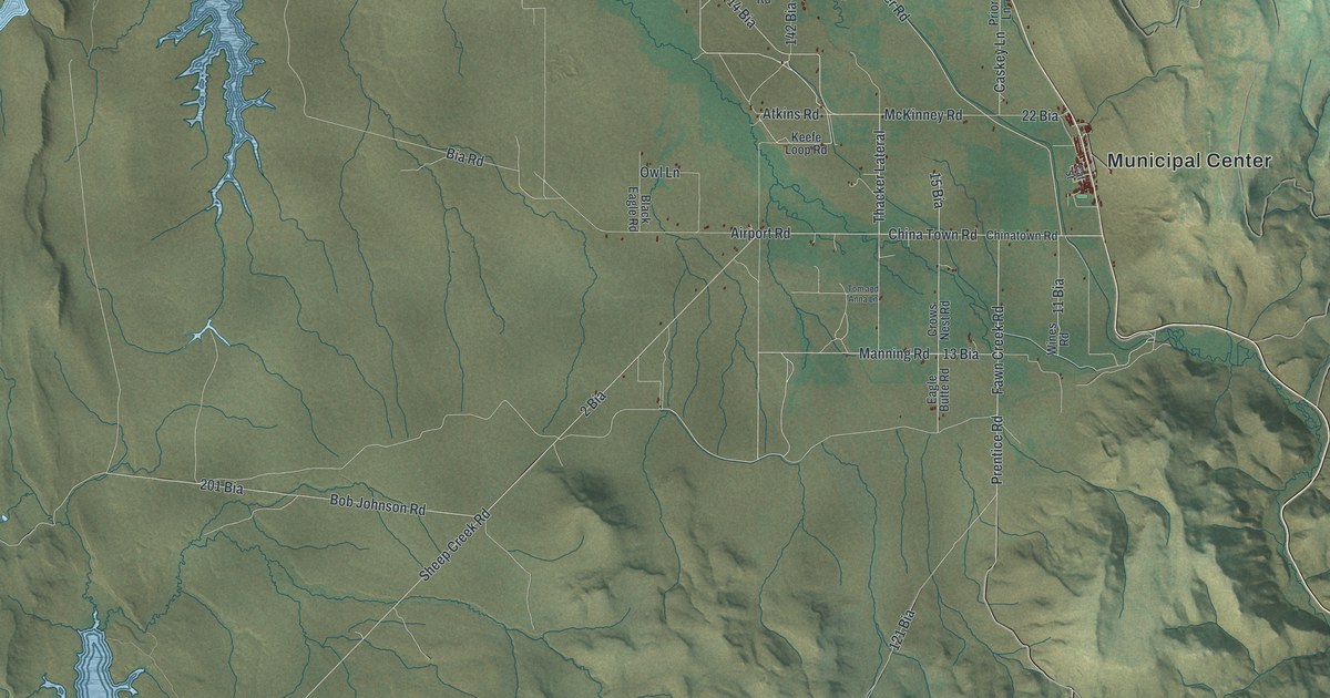
A detailed map of Owyhee, Nevada, showing every building in its true location, the roads by name, and shaded topographical relief.
Read More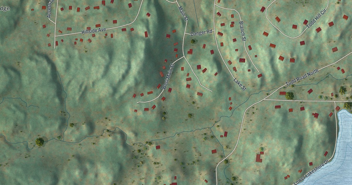
A detailed map of Golden’s Bridge, New York, showing every building in its true location, the roads by name, and shaded topographical relief.
Read More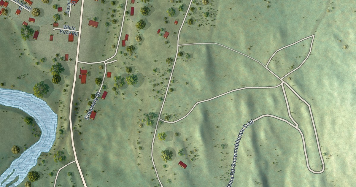
A detailed map of West Stewartstown, New Hampshire, showing every building in its true location, the roads by name, and shaded topographical relief.
Read More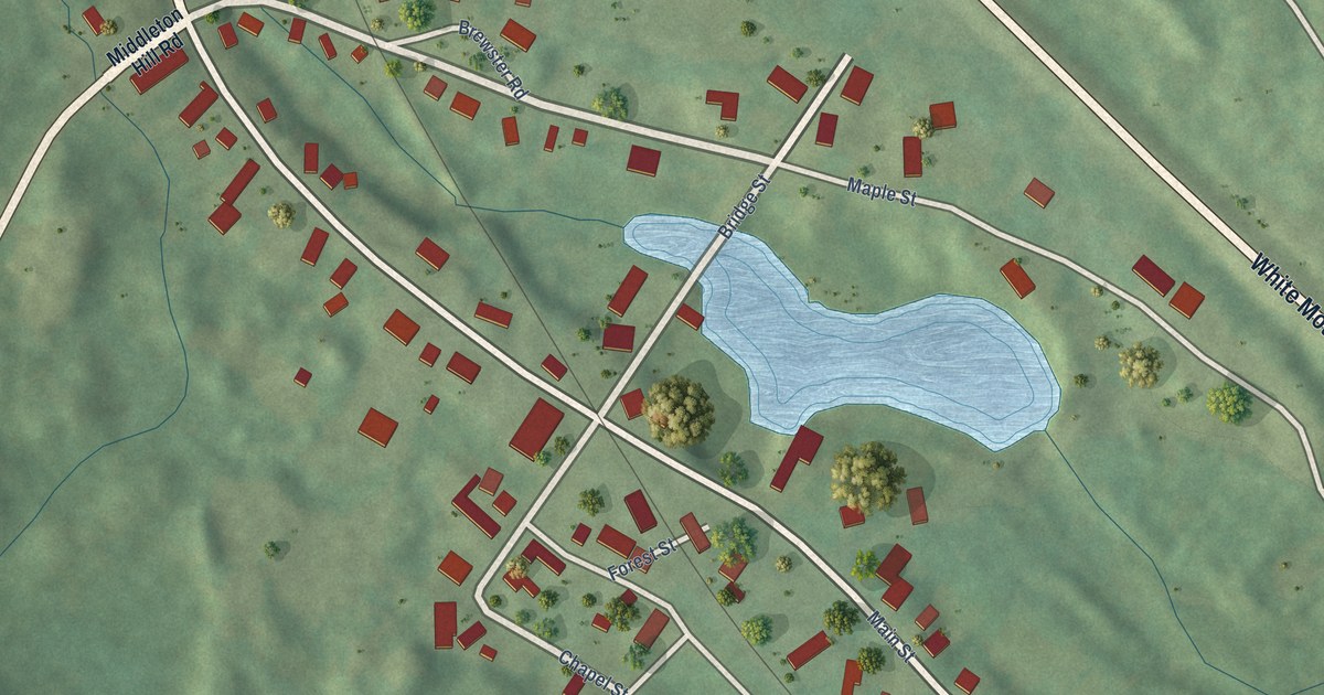
A detailed map of Union, New Hampshire, showing every building in its true location, the roads by name, and shaded topographical relief.
Read More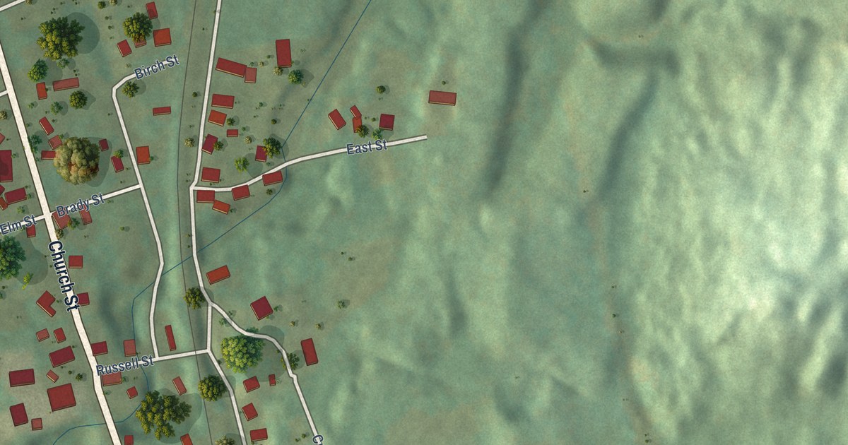
A detailed map of North Walpole, New Hampshire, showing every building in its true location, the roads by name, and shaded topographical relief.
Read More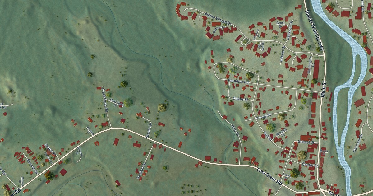
A detailed map of North Woodstock, New Hampshire, showing every building in its true location, the roads by name, and shaded topographical relief.
Read More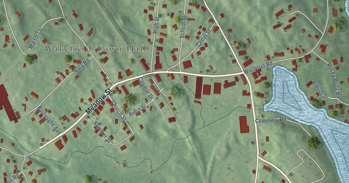
A detailed map of Sanbornville, New Hampshire, showing every building in its true location, the roads by name, and shaded topographical relief.
Read More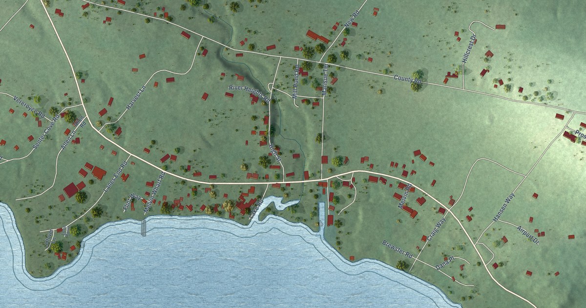
A detailed map of Melvin Village, New Hampshire, showing every building in its true location, the roads by name, and shaded topographical relief.
Read More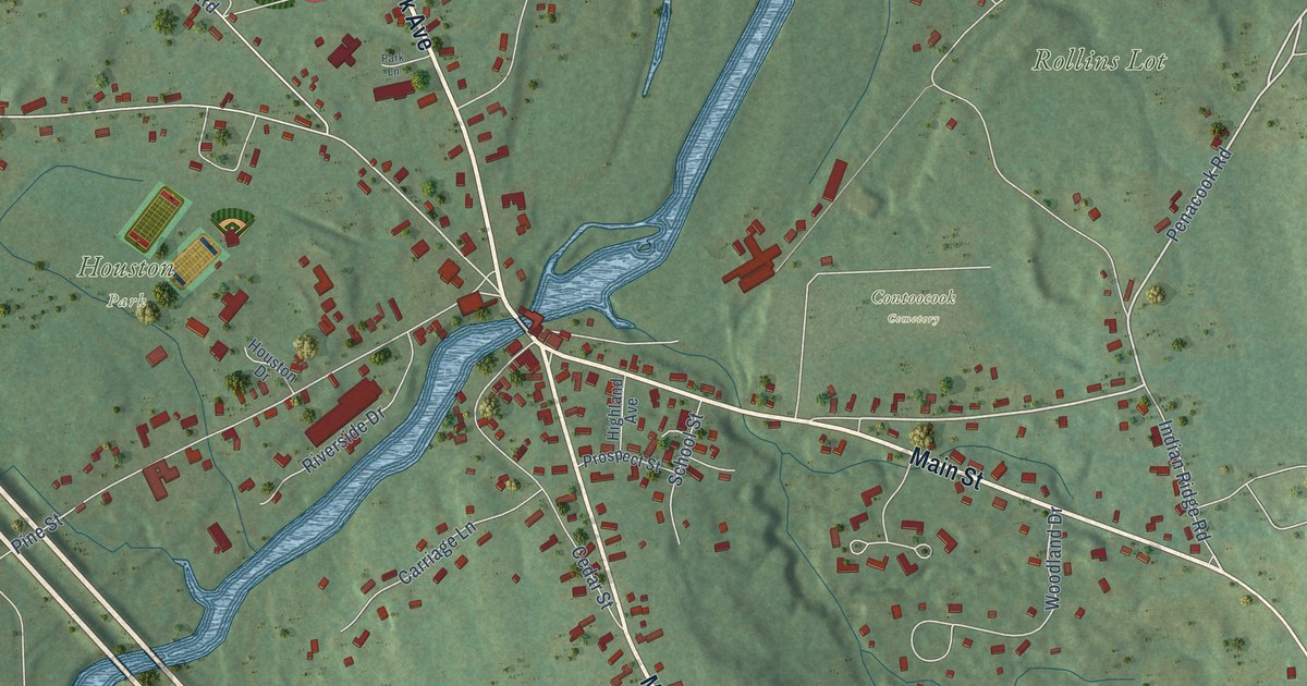
A detailed map of Contoocook, New Hampshire, showing every building in its true location, the roads by name, and shaded topographical relief.
Read More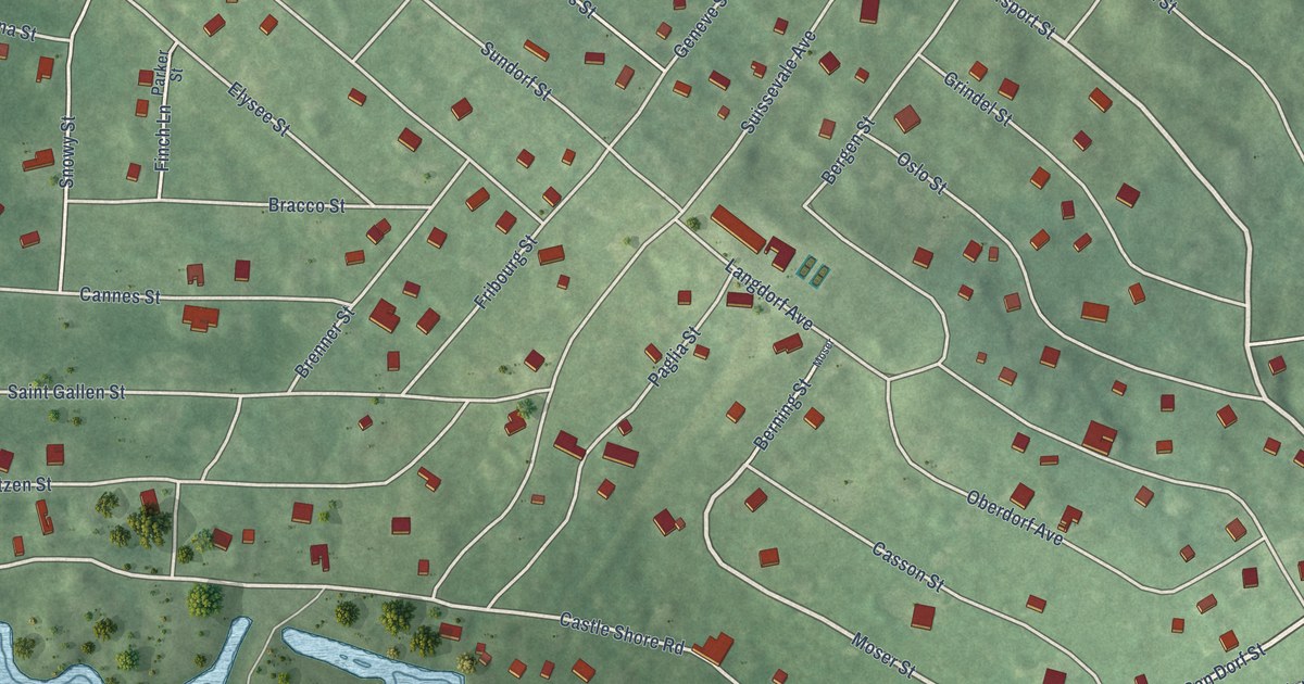
A detailed map of Suissevale, New Hampshire, showing every building in its true location, the roads by name, and shaded topographical relief.
Read More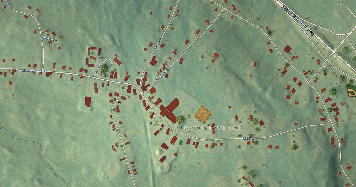
A detailed map of Center Ossipee, New Hampshire, showing every building in its true location, the roads by name, and shaded topographical relief.
Read More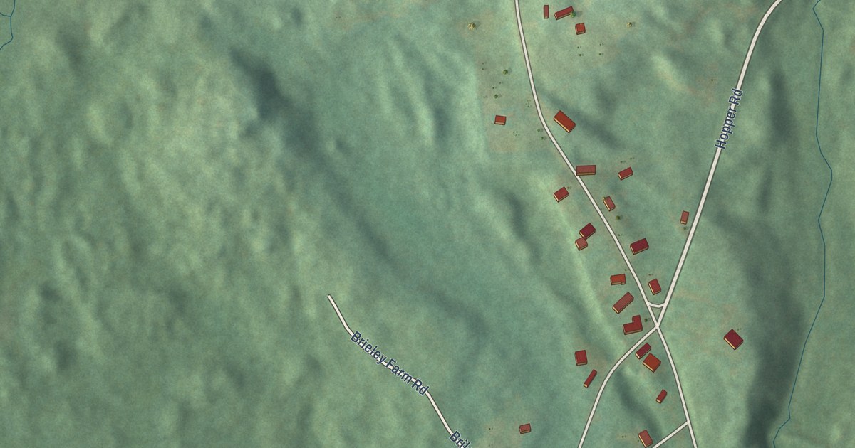
A detailed map of Milton Mills, New Hampshire, showing every building in its true location, the roads by name, and shaded topographical relief.
Read More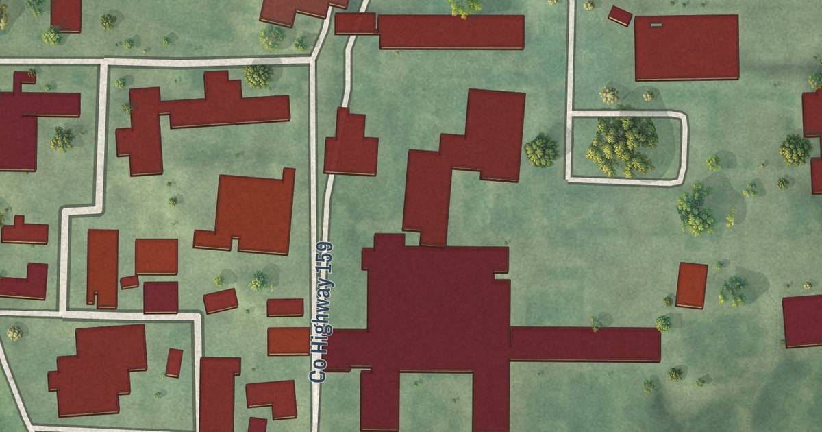
A detailed map of St. John’s University, Minnesota, showing every building in its true location, the roads by name, and shaded topographical relief.
Read More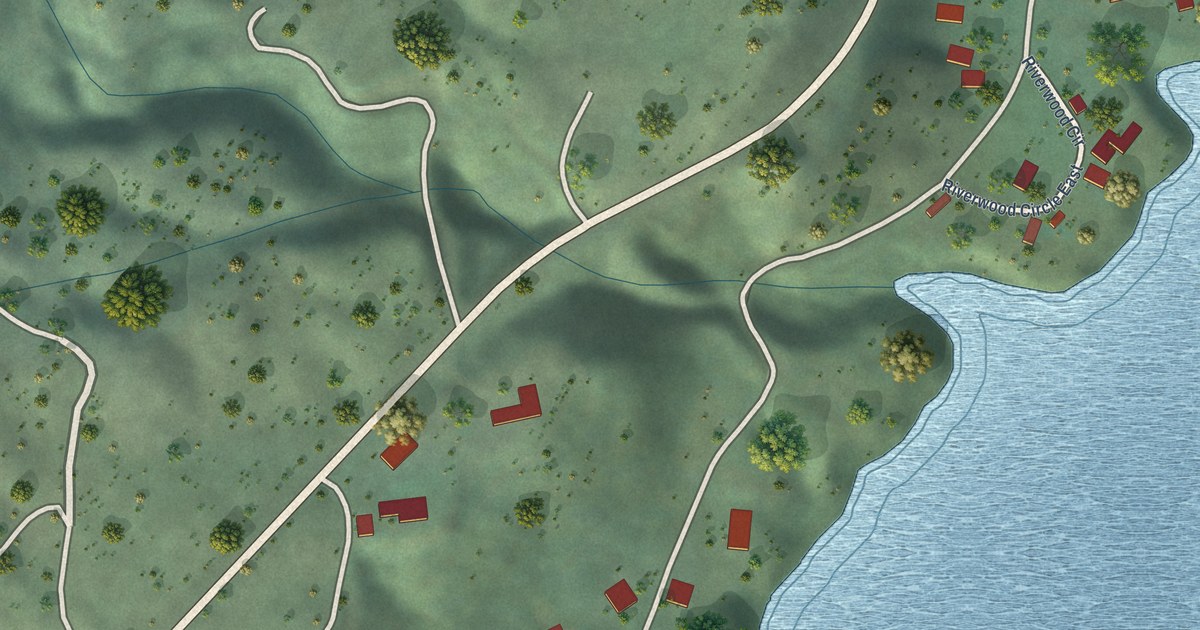
A detailed map of Barney’s Junction, Washington, showing every building in its true location, the roads by name, and shaded topographical relief.
Read More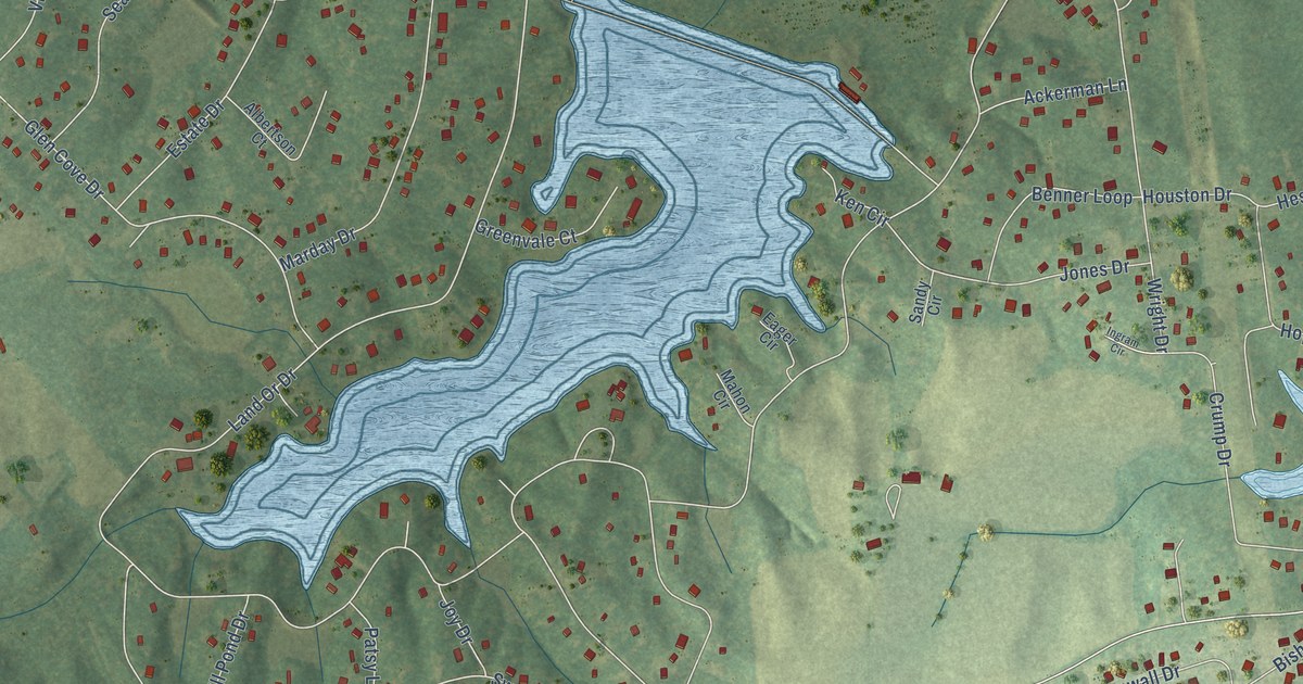
A detailed map of Lake Land’Or, Virginia, showing every building in its true location, the roads by name, and shaded topographical relief.
Read More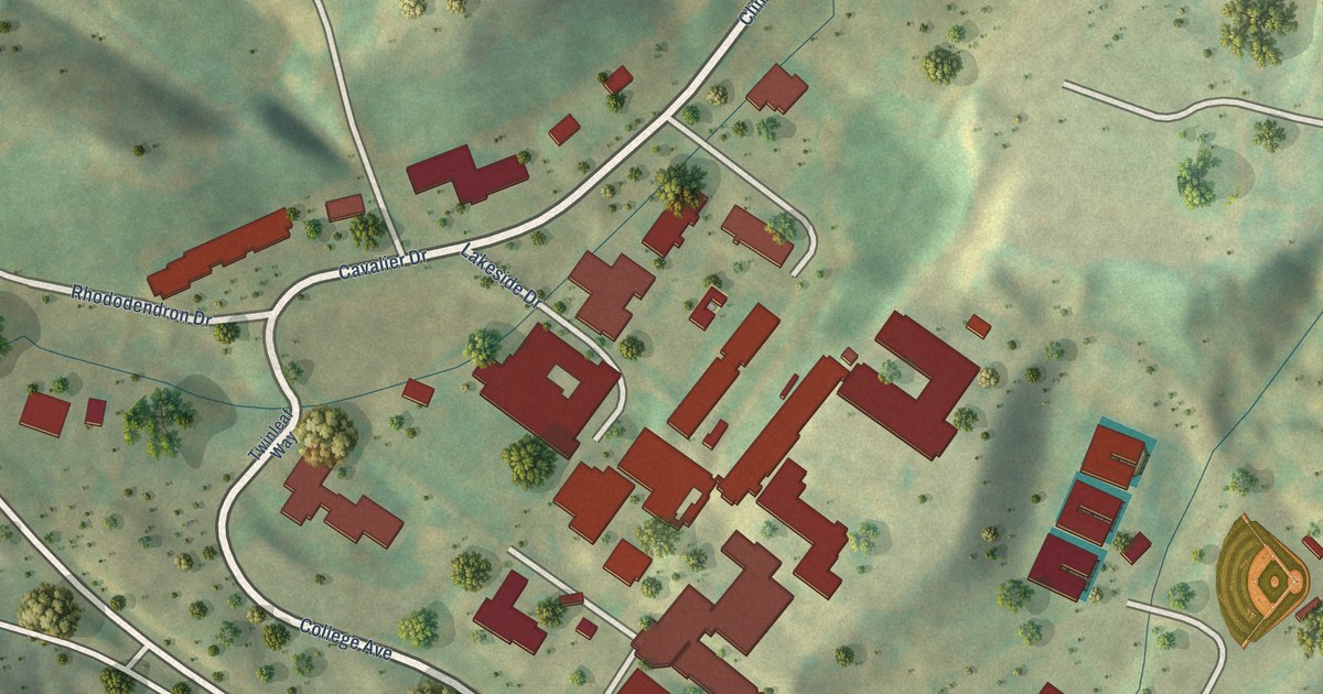
A detailed map of The University of Virginia’s College at Wise, Virginia, showing every building in its true location, the roads by name, and shaded topographical relief.
Read More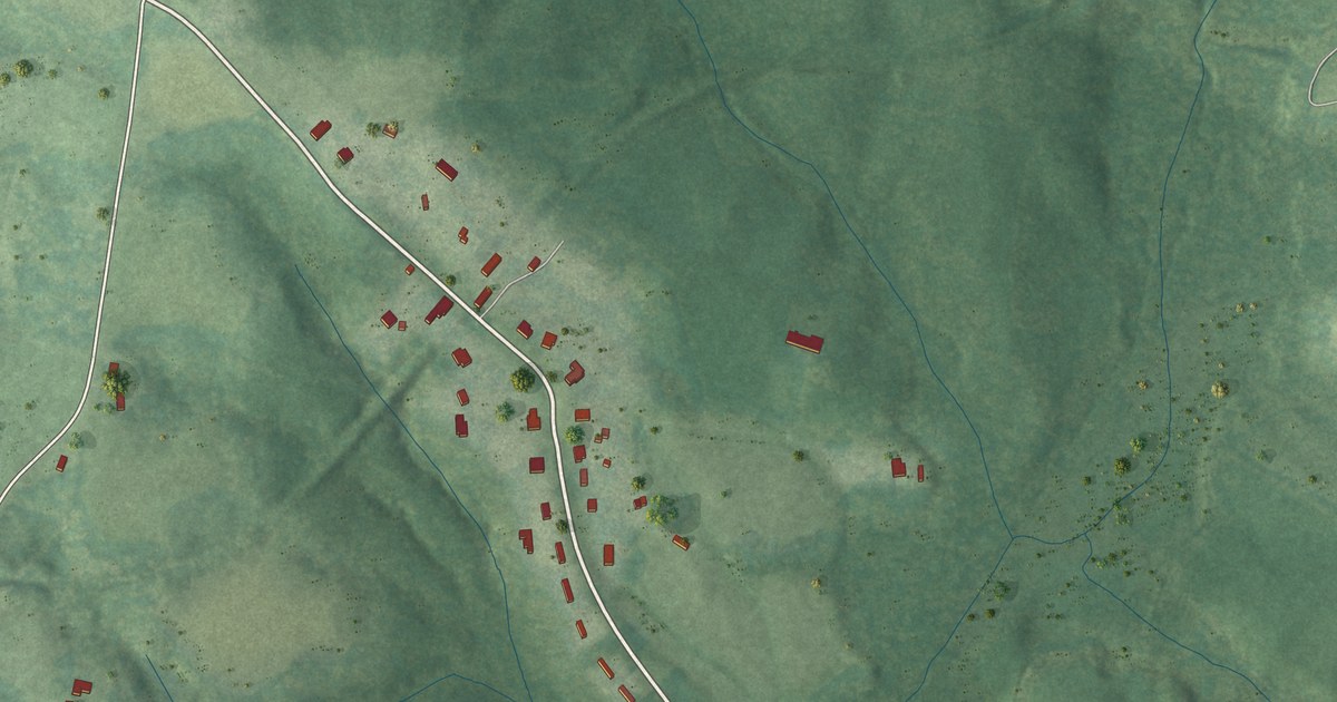
A detailed map of Baskerville, Virginia, showing every building in its true location, the roads by name, and shaded topographical relief.
Read More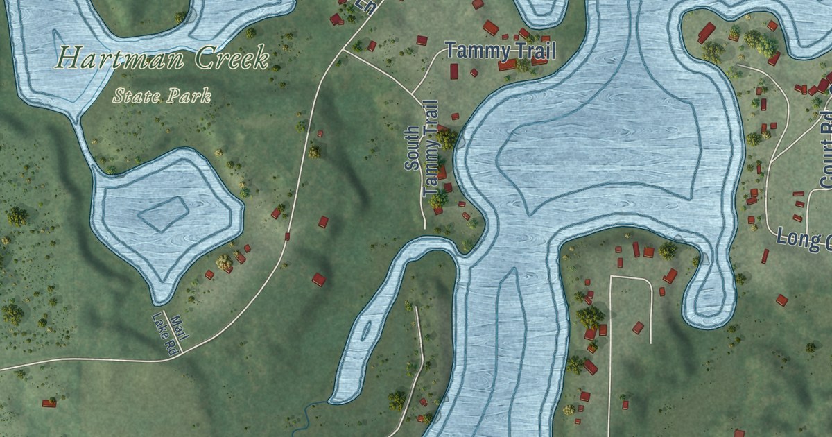
A detailed map of Chain O’ Lakes, Wisconsin, showing every building in its true location, the roads by name, and shaded topographical relief.
Read More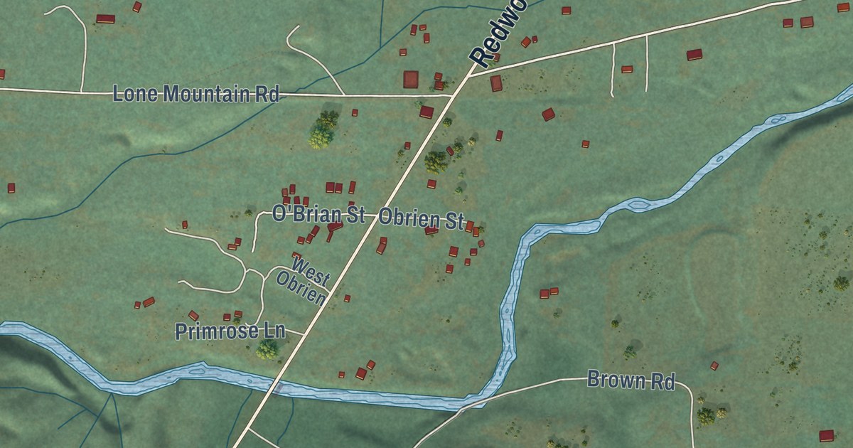
A detailed map of O’Brien, Oregon, showing every building in its true location, the roads by name, and shaded topographical relief.
Read More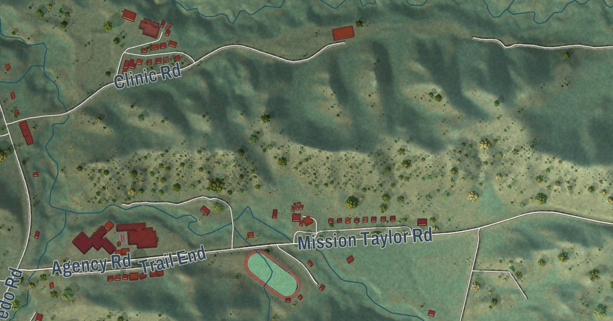
A detailed map of Rocky Boy’s Agency, Montana, showing every building in its true location, the roads by name, and shaded topographical relief.
Read More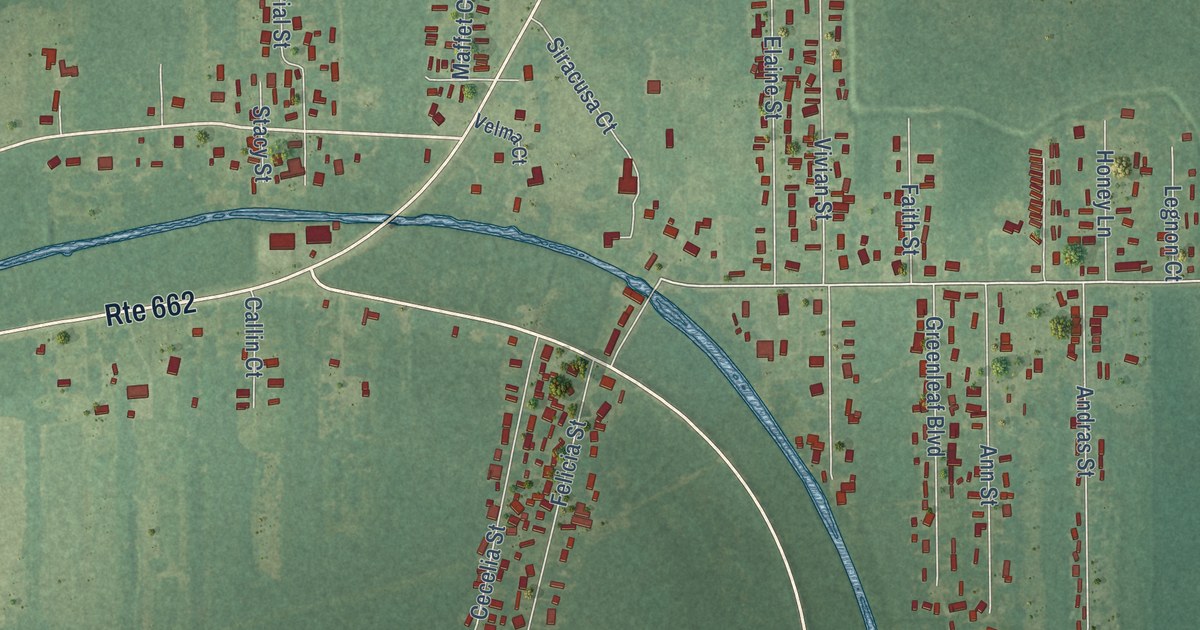
A detailed map of Bayou L’Ourse, Louisiana, showing every building in its true location, the roads by name, and shaded topographical relief.
Read More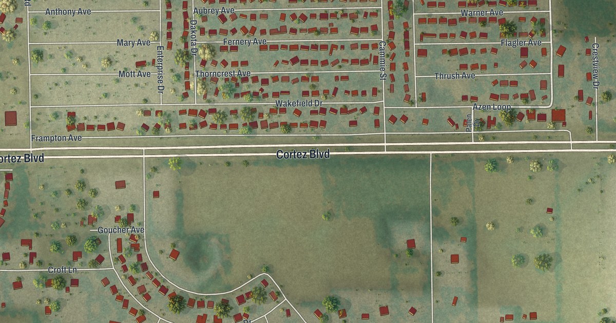
A detailed map of Hill ‘n Dale, Florida, showing every building in its true location, the roads by name, and shaded topographical relief.
Read More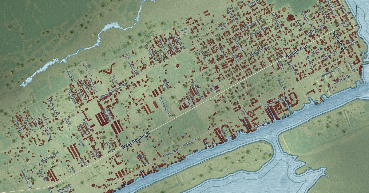
A detailed map of Port O’Connor, Texas, showing every building in its true location, the roads by name, and shaded topographical relief.
Read More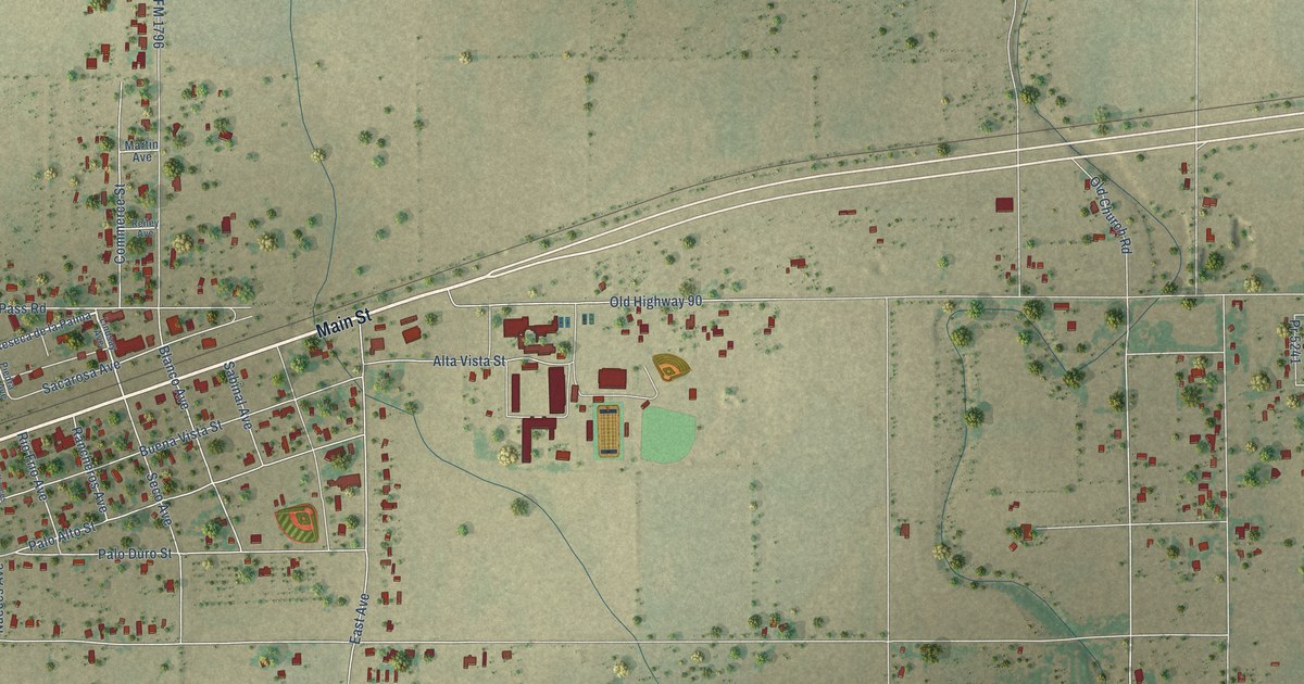
A detailed map of D’Hanis, Texas, showing every building in its true location, the roads by name, and shaded topographical relief.
Read More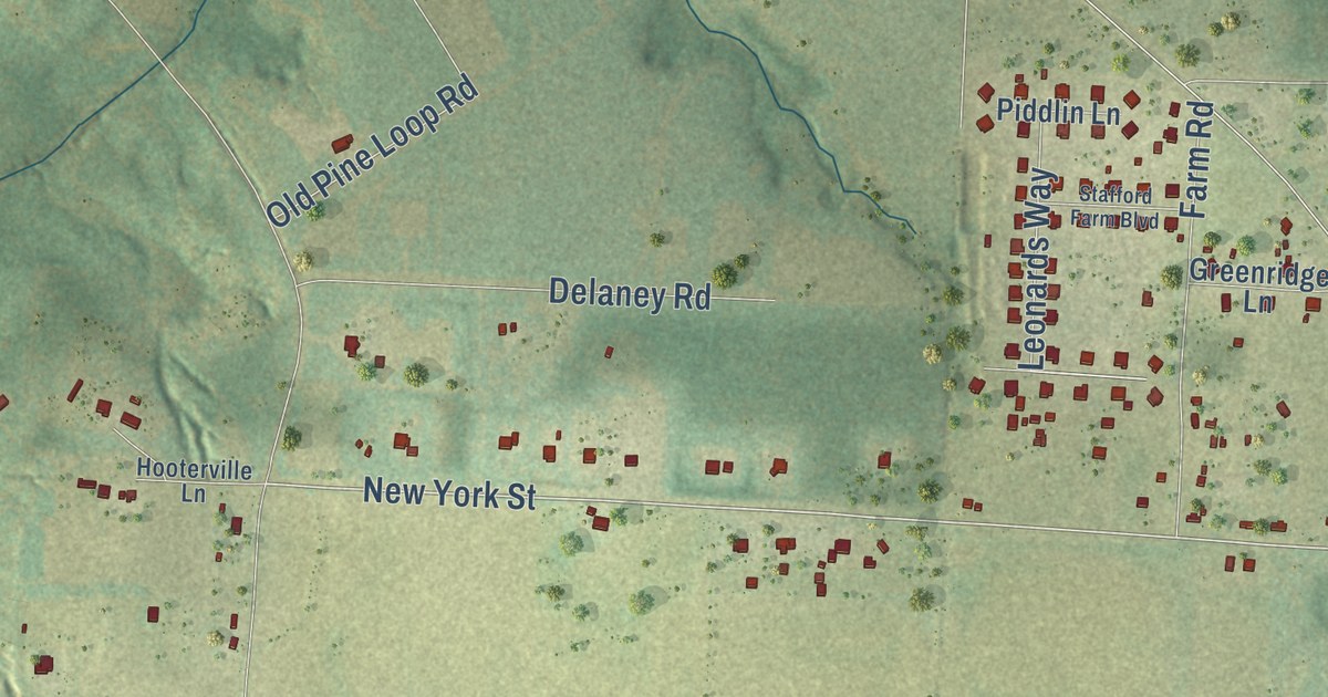
A detailed map of New York, Florida, showing every building in its true location, the roads by name, and shaded topographical relief.
Read More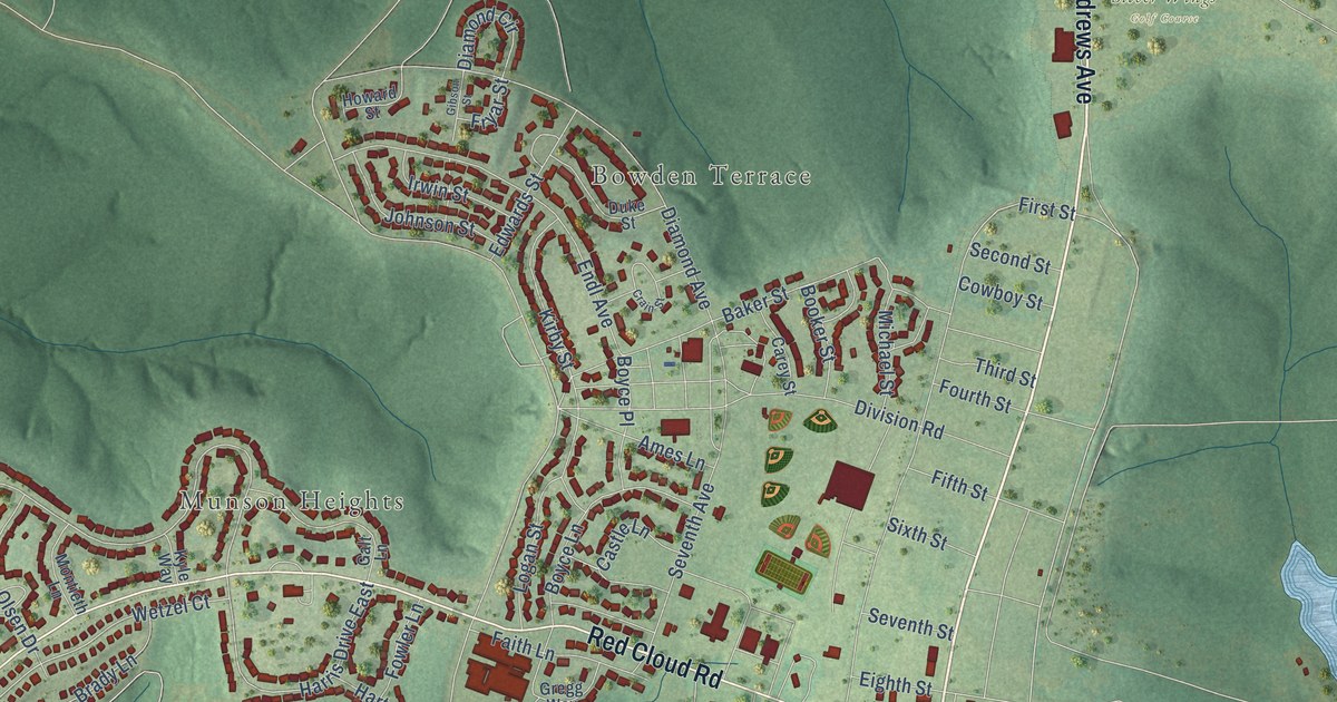
A detailed map of Fort Rucker, Alabama, showing every building in its true location, the roads by name, and shaded topographical relief.
Read More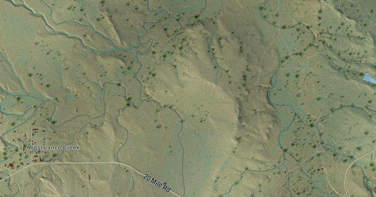
A detailed map of Lance Creek, Wyoming, showing every building in its true location, the roads by name, and shaded topographical relief.
Read More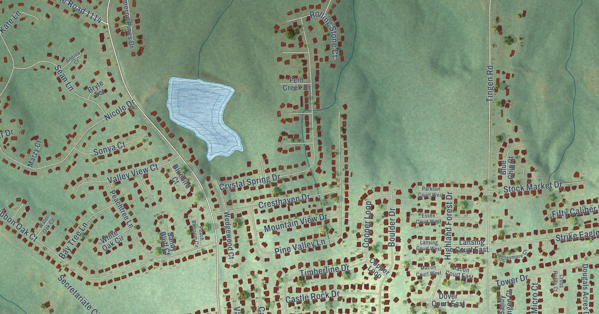
A detailed map of Barbecue, North Carolina, showing every building in its true location, the roads by name, and shaded topographical relief.
Read More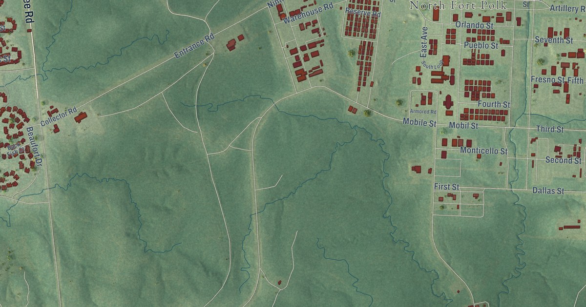
A detailed map of Fort Polk North, Louisiana, showing every building in its true location, the roads by name, and shaded topographical relief.
Read More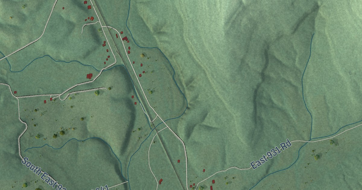
A detailed map of Bunch, Oklahoma, showing every building in its true location, the roads by name, and shaded topographical relief.
Read More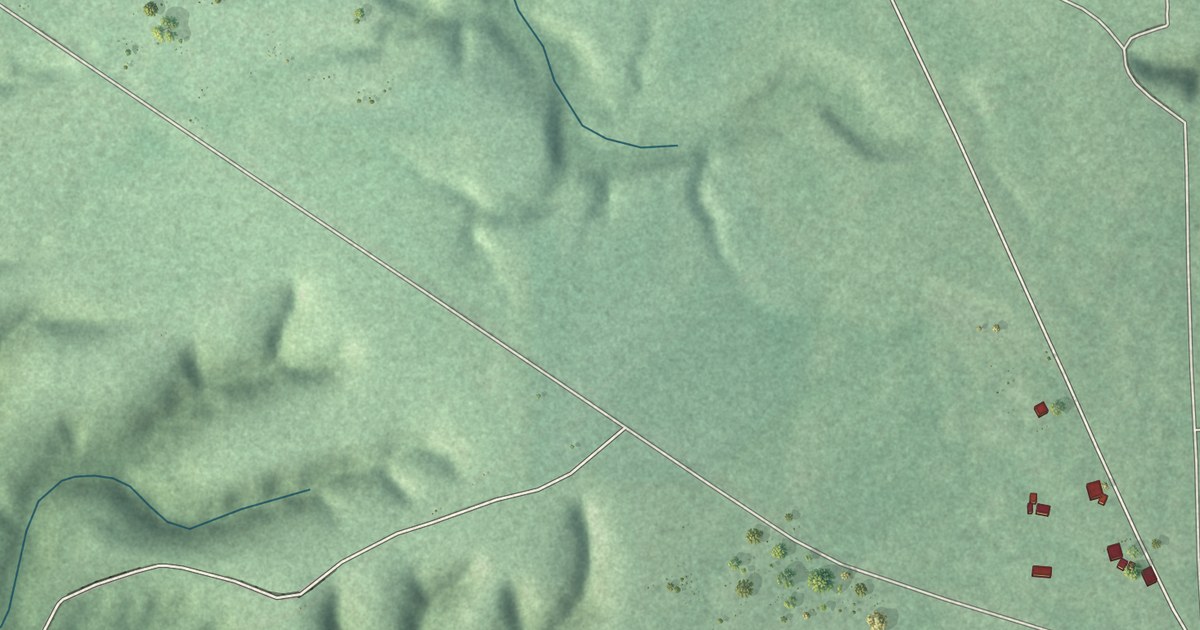
A detailed map of Tagg Flats, Oklahoma, showing every building in its true location, the roads by name, and shaded topographical relief.
Read More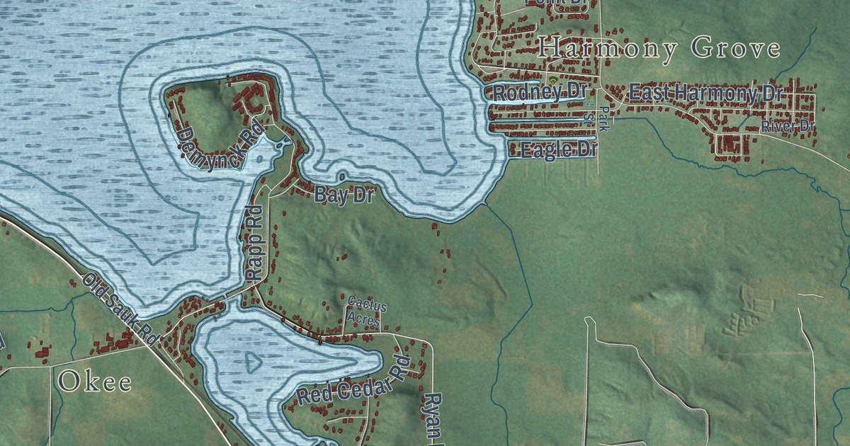
A detailed map of Lake Wisconsin, Wisconsin, showing every building in its true location, the roads by name, and shaded topographical relief.
Read More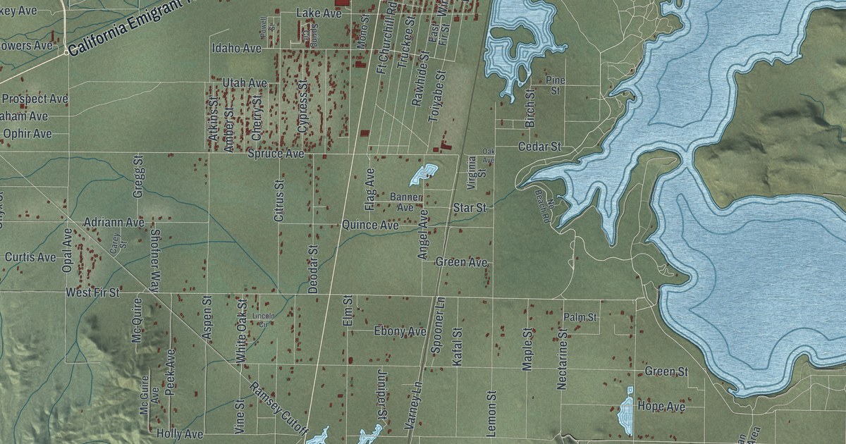
A detailed map of Silver Springs, Nevada, showing every building in its true location, the roads by name, and shaded topographical relief.
Read More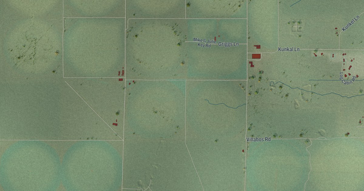
A detailed map of Orovada, Nevada, showing every building in its true location, the roads by name, and shaded topographical relief.
Read More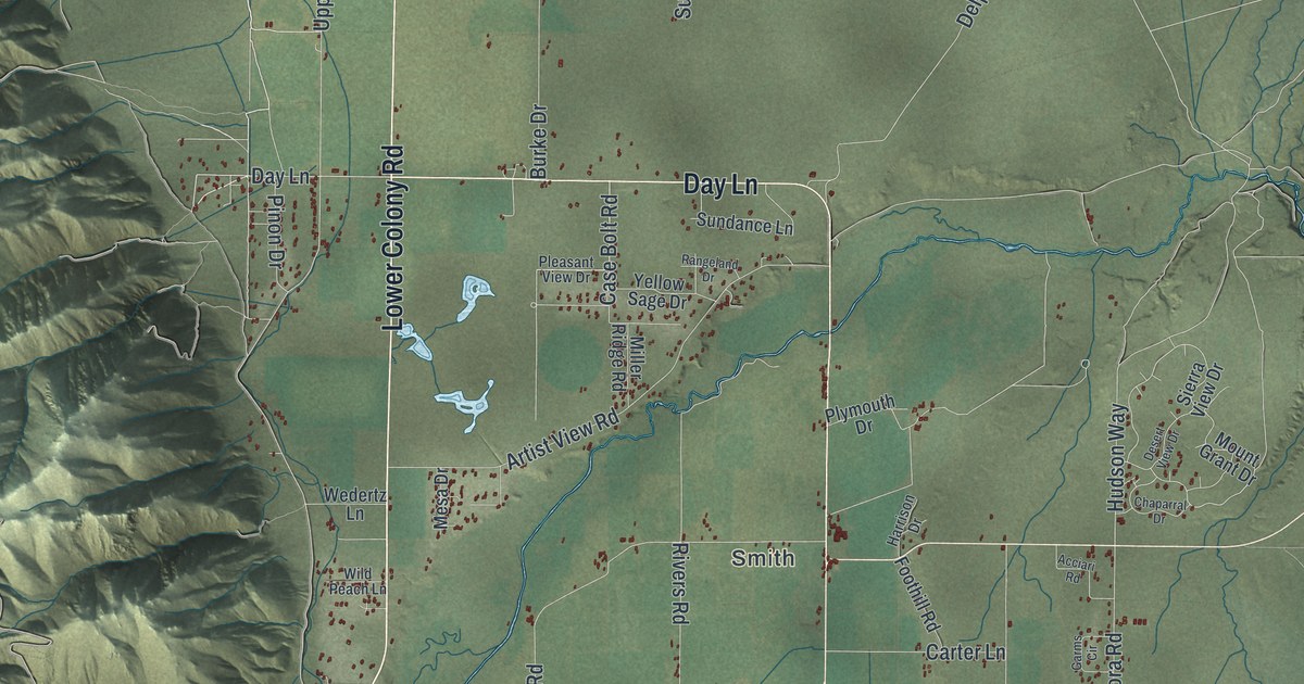
A detailed map of Smith Valley, Nevada, showing every building in its true location, the roads by name, and shaded topographical relief.
Read More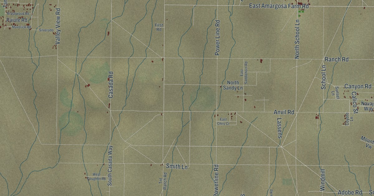
A detailed map of Amargosa Valley, Nevada, showing every building in its true location, the roads by name, and shaded topographical relief.
Read More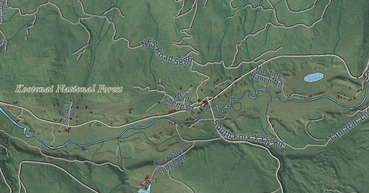
A detailed map of Yaak, Montana, showing every building in its true location, the roads by name, and shaded topographical relief.
Read More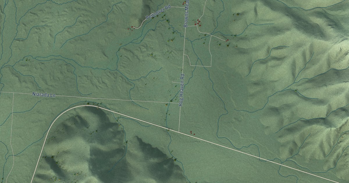
A detailed map of Niarada, Montana, showing every building in its true location, the roads by name, and shaded topographical relief.
Read More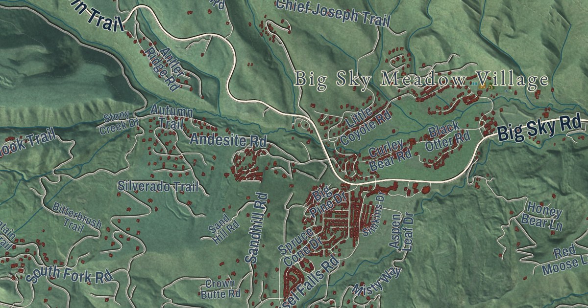
A detailed map of Big Sky, Montana, showing every building in its true location, the roads by name, and shaded topographical relief.
Read More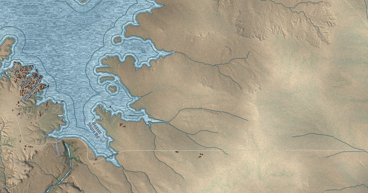
A detailed map of Lake Sumner, New Mexico, showing every building in its true location, the roads by name, and shaded topographical relief.
Read More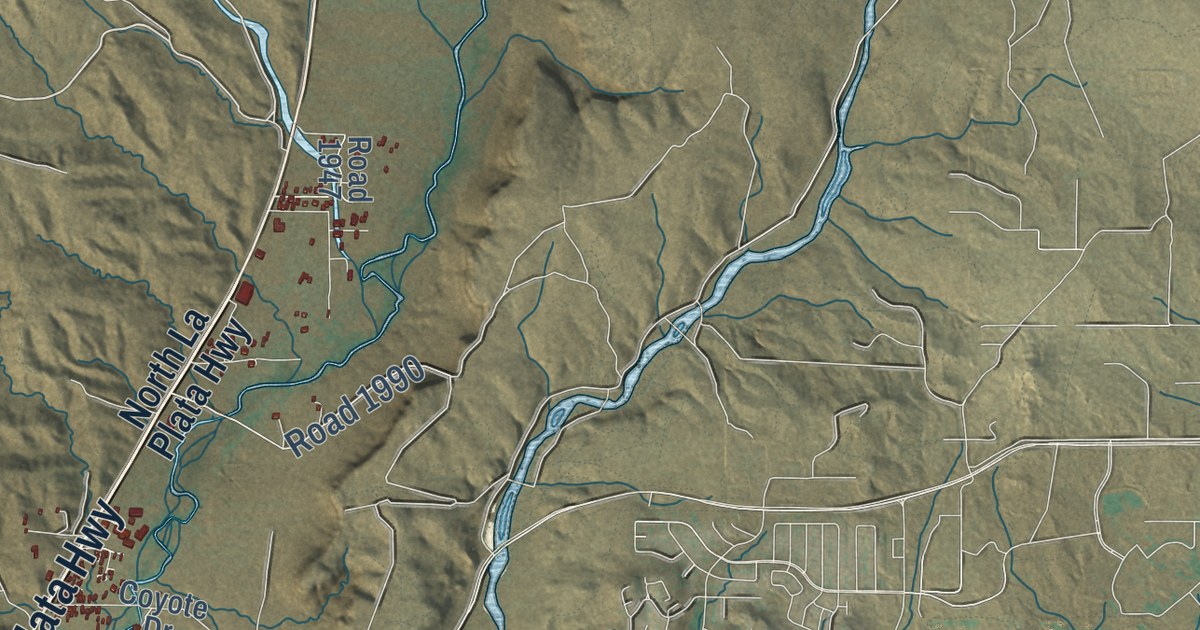
A detailed map of La Plata, New Mexico, showing every building in its true location, the roads by name, and shaded topographical relief.
Read More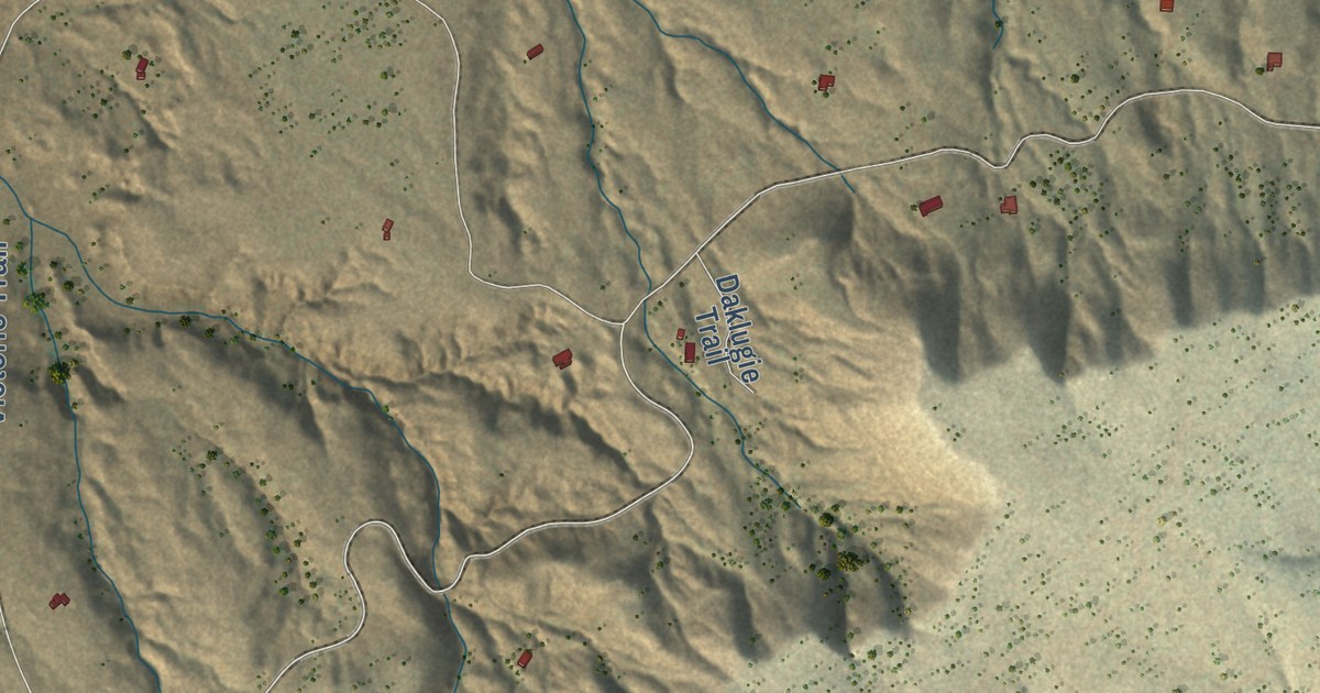
A detailed map of Deer Canyon, New Mexico, showing every building in its true location, the roads by name, and shaded topographical relief.
Read More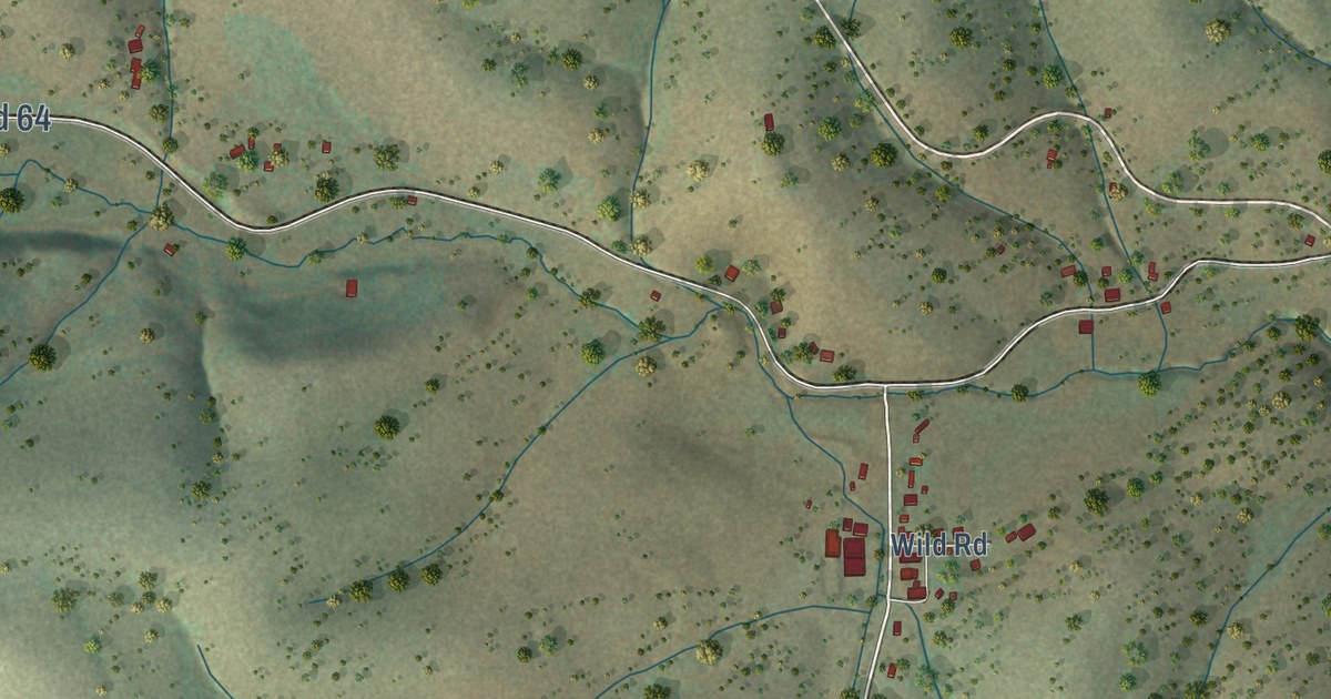
A detailed map of Weed, New Mexico, showing every building in its true location, the roads by name, and shaded topographical relief.
Read More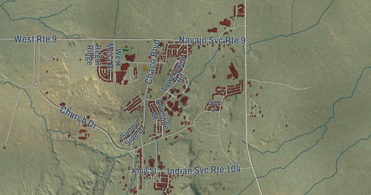
A detailed map of Crownpoint, New Mexico, showing every building in its true location, the roads by name, and shaded topographical relief.
Read More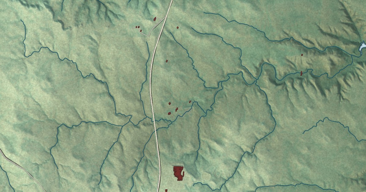
A detailed map of Cannon Ball, North Dakota, showing every building in its true location, the roads by name, and shaded topographical relief.
Read More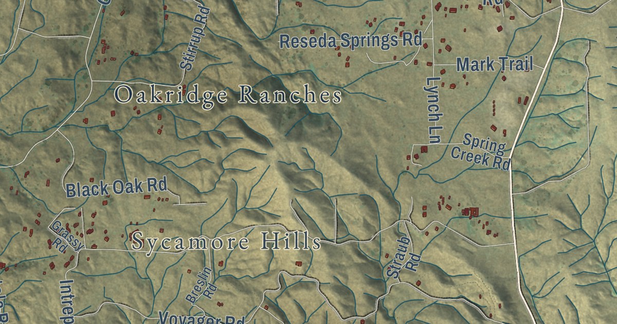
A detailed map of Sage, California, showing every building in its true location, the roads by name, and shaded topographical relief.
Read More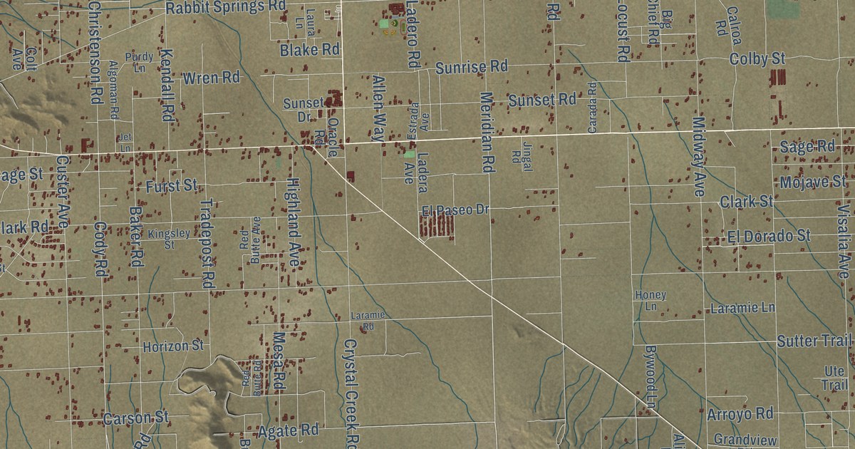
A detailed map of Lucerne Valley, California, showing every building in its true location, the roads by name, and shaded topographical relief.
Read More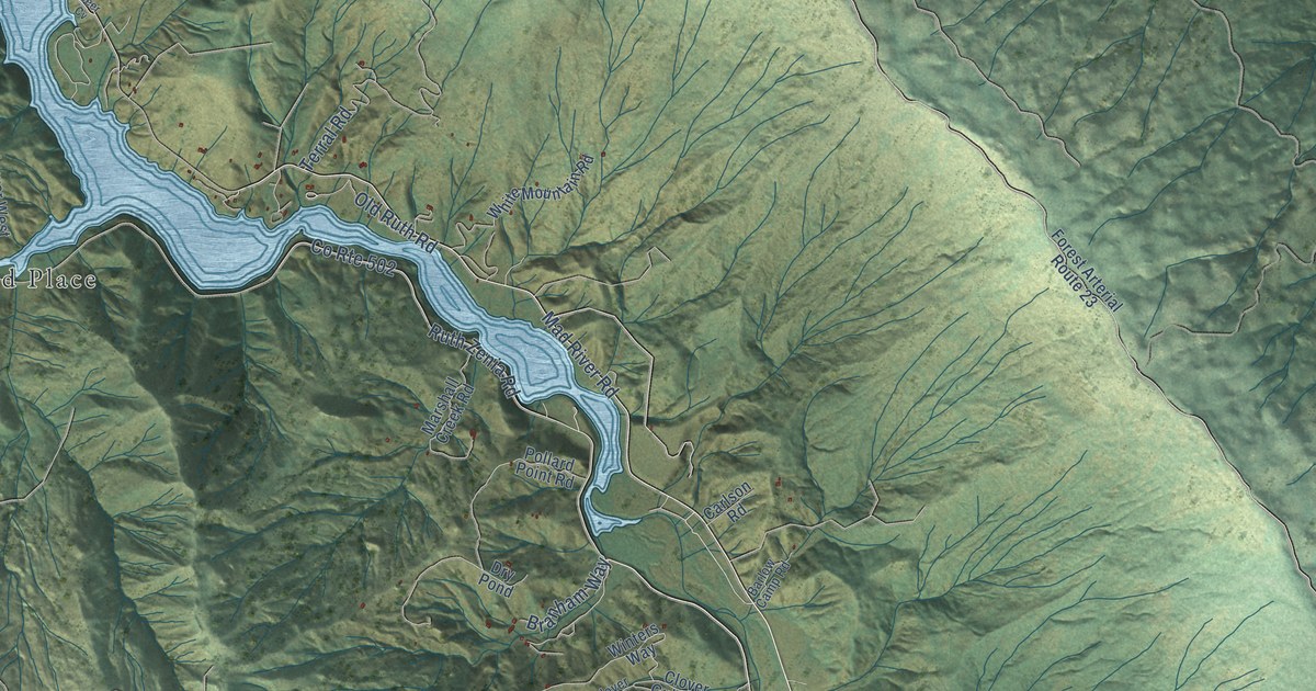
A detailed map of Ruth, California, showing every building in its true location, the roads by name, and shaded topographical relief.
Read More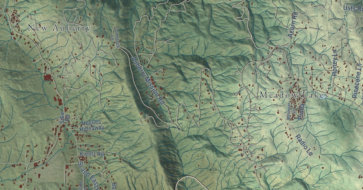
A detailed map of Auberry, California, showing every building in its true location, the roads by name, and shaded topographical relief.
Read More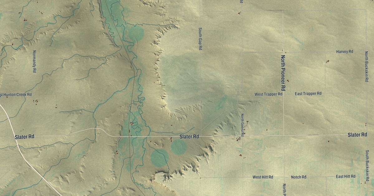
A detailed map of Slater, Wyoming, showing every building in its true location, the roads by name, and shaded topographical relief.
Read More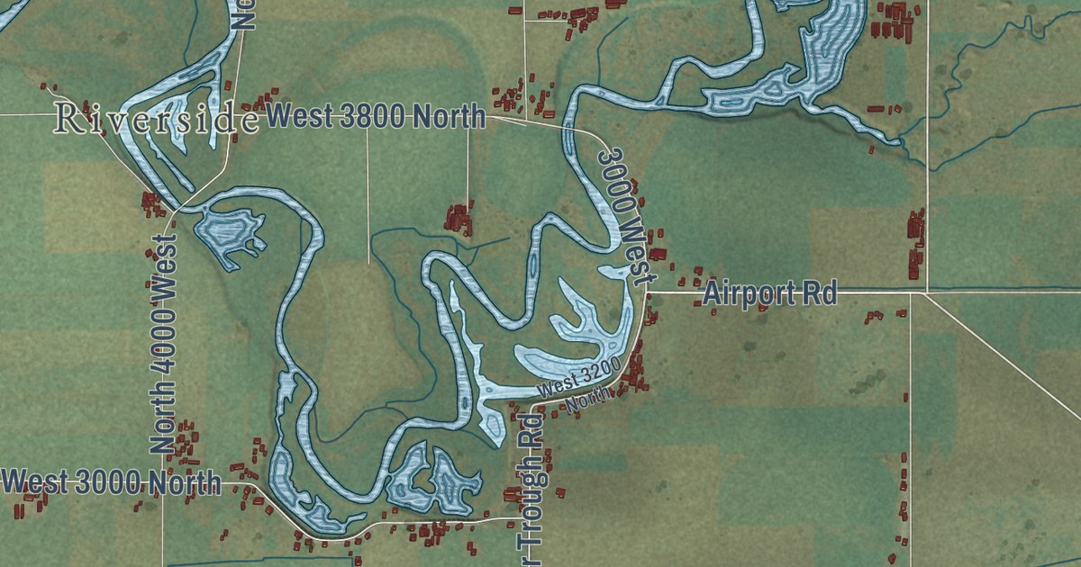
A detailed map of Benson, Utah, showing every building in its true location, the roads by name, and shaded topographical relief.
Read More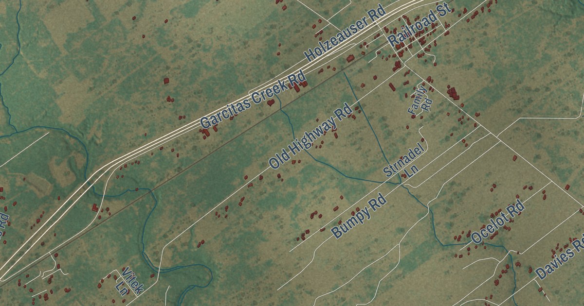
A detailed map of Inez, Texas, showing every building in its true location, the roads by name, and shaded topographical relief.
Read More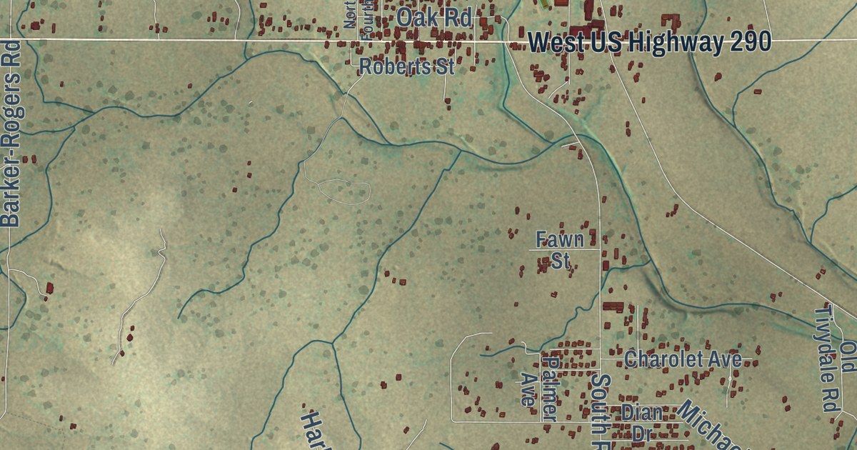
A detailed map of Harper, Texas, showing every building in its true location, the roads by name, and shaded topographical relief.
Read More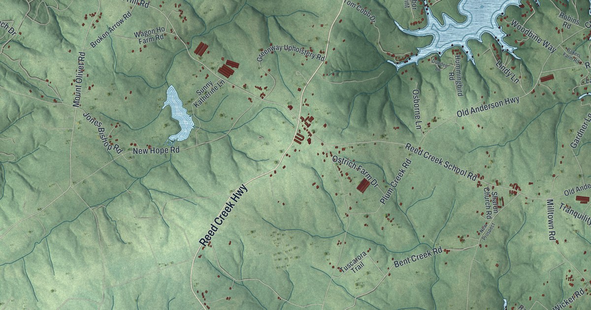
A detailed map of Reed Creek, Georgia, showing every building in its true location, the roads by name, and shaded topographical relief.
Read More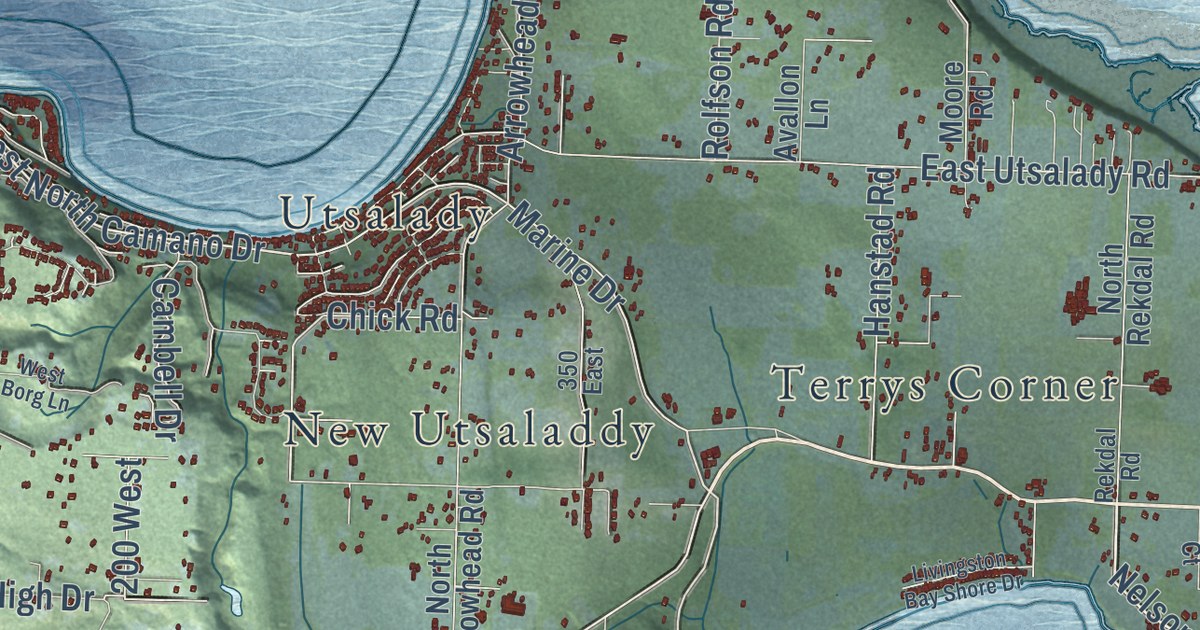
A detailed map of Camano, Washington, showing every building in its true location, the roads by name, and shaded topographical relief.
Read More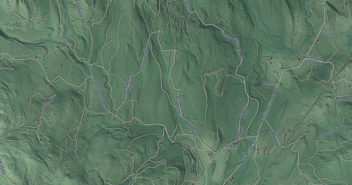
A detailed map of Trego, Montana, showing every building in its true location, the roads by name, and shaded topographical relief.
Read More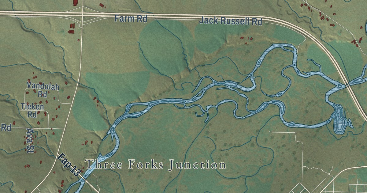
A detailed map of Wheatland, Montana, showing every building in its true location, the roads by name, and shaded topographical relief.
Read More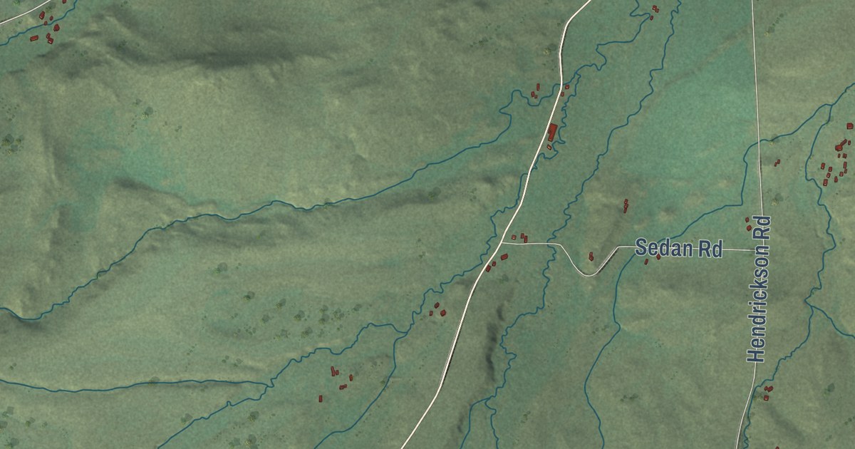
A detailed map of Sedan, Montana, showing every building in its true location, the roads by name, and shaded topographical relief.
Read More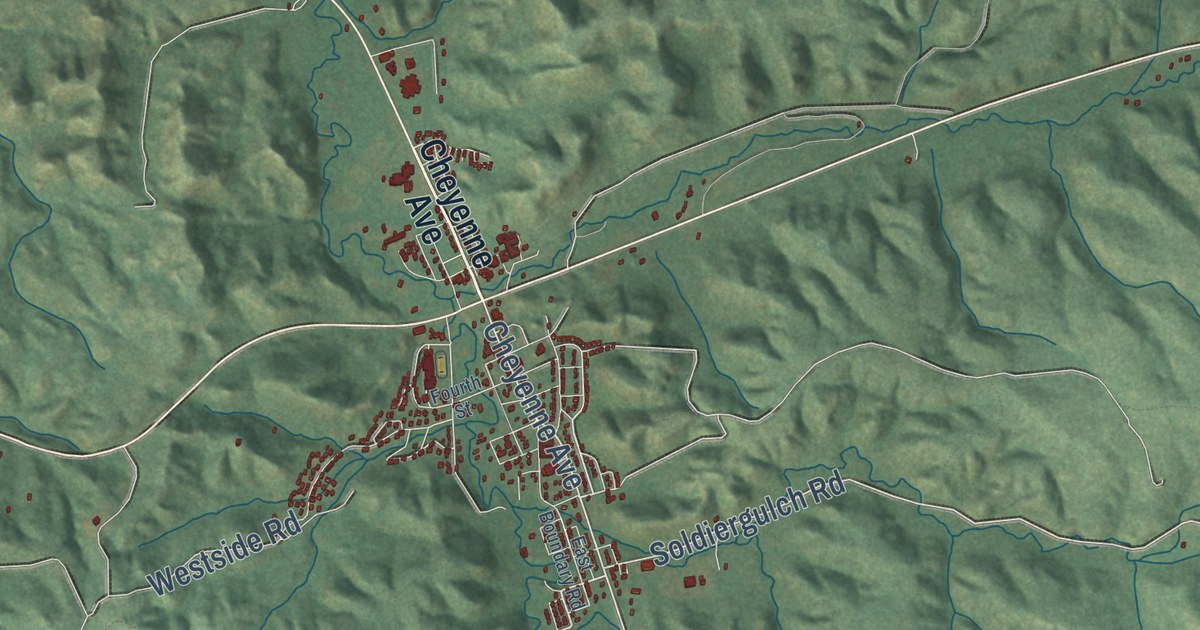
A detailed map of Lame Deer, Montana, showing every building in its true location, the roads by name, and shaded topographical relief.
Read More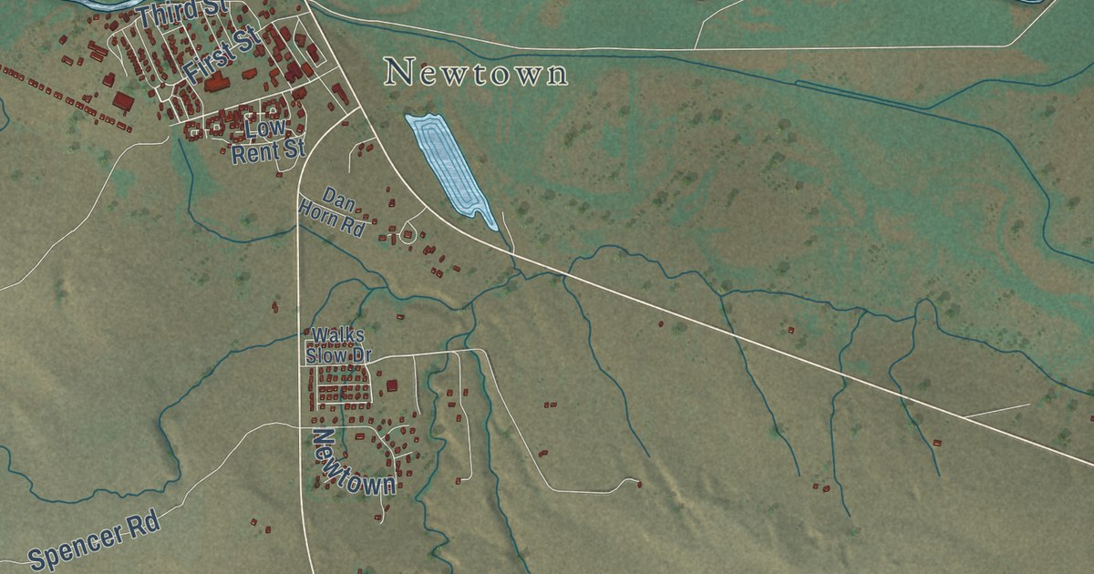
A detailed map of Fort Belknap Agency, Montana, showing every building in its true location, the roads by name, and shaded topographical relief.
Read More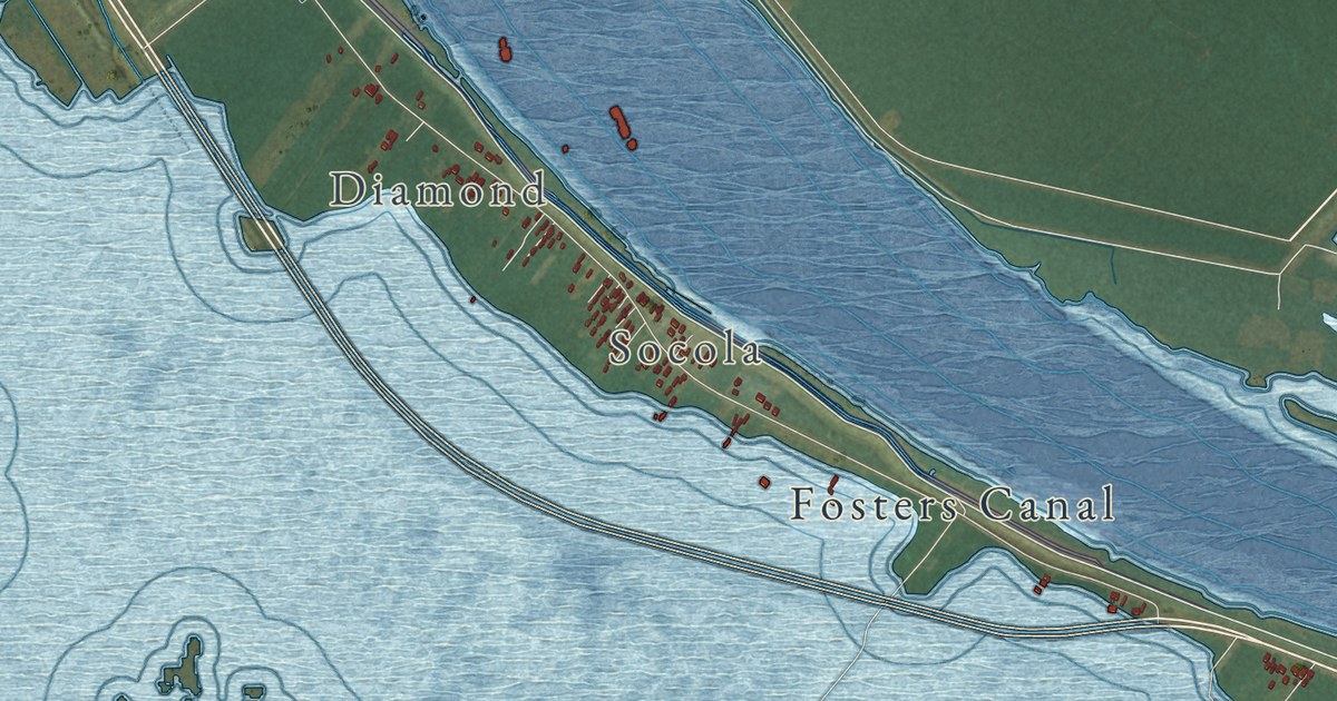
A detailed map of Port Sulphur, Louisiana, showing every building in its true location, the roads by name, and shaded topographical relief.
Read More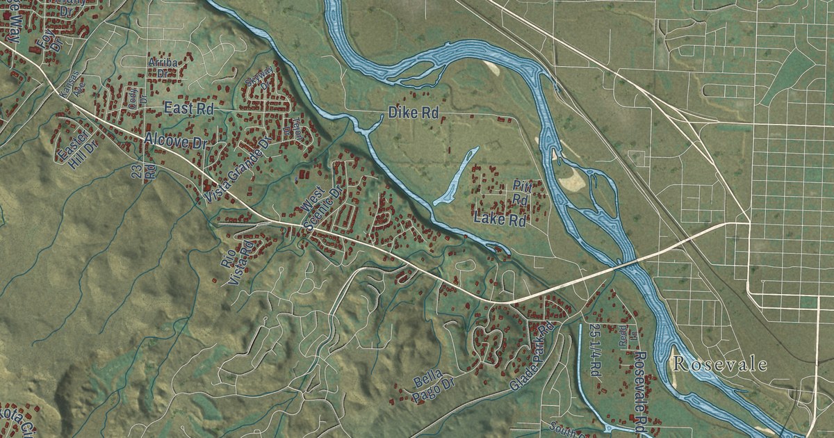
A detailed map of Redlands, Colorado, showing every building in its true location, the roads by name, and shaded topographical relief.
Read More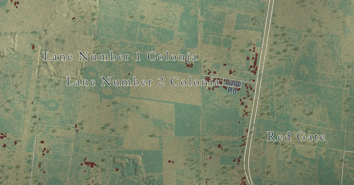
A detailed map of Linn, Texas, showing every building in its true location, the roads by name, and shaded topographical relief.
Read More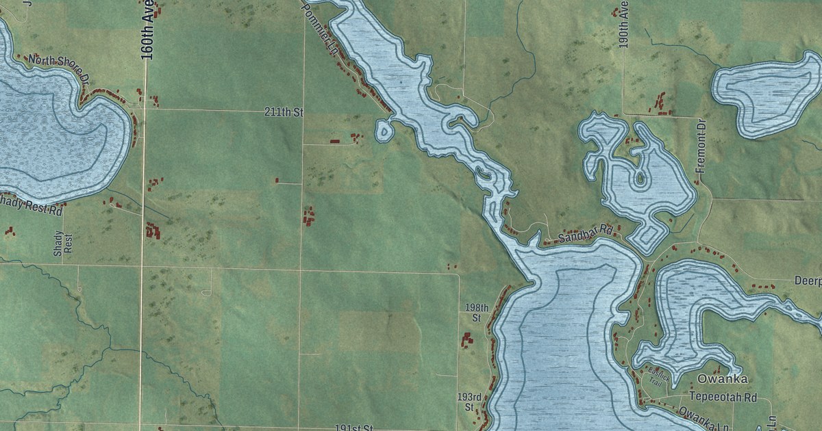
A detailed map of The Lakes, Minnesota, showing every building in its true location, the roads by name, and shaded topographical relief.
Read More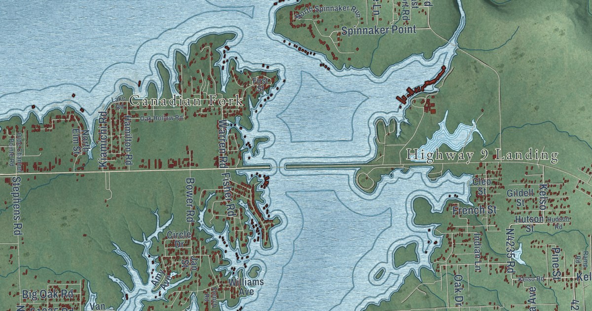
A detailed map of Longtown, Oklahoma, showing every building in its true location, the roads by name, and shaded topographical relief.
Read More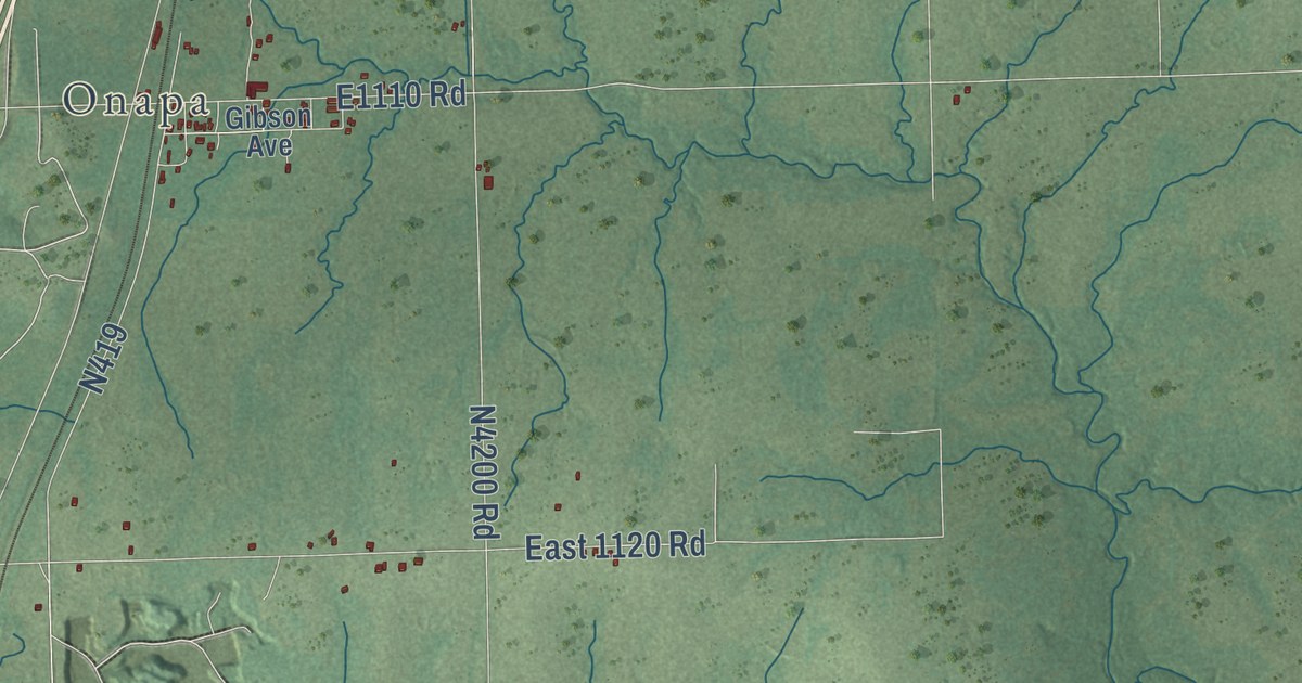
A detailed map of Texanna, Oklahoma, showing every building in its true location, the roads by name, and shaded topographical relief.
Read More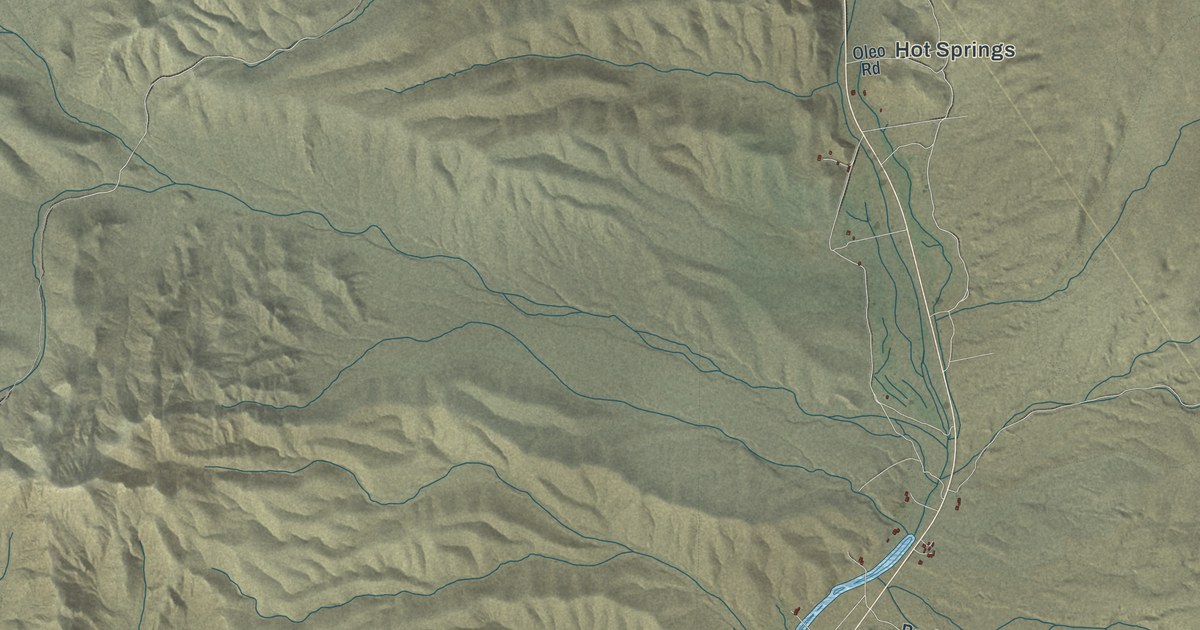
A detailed map of Beatty, Nevada, showing every building in its true location, the roads by name, and shaded topographical relief.
Read More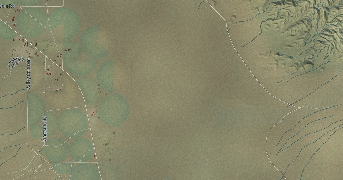
A detailed map of Dyer, Nevada, showing every building in its true location, the roads by name, and shaded topographical relief.
Read More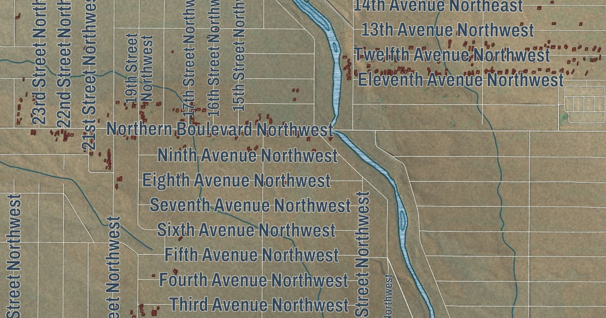
A detailed map of Rio Rancho Estates, New Mexico, showing every building in its true location, the roads by name, and shaded topographical relief.
Read More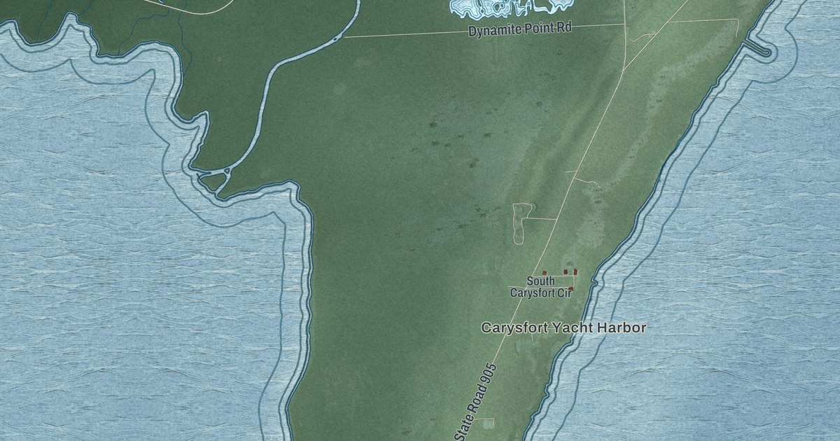
A detailed map of North Key Largo, Florida, showing every building in its true location, the roads by name, and shaded topographical relief.
Read More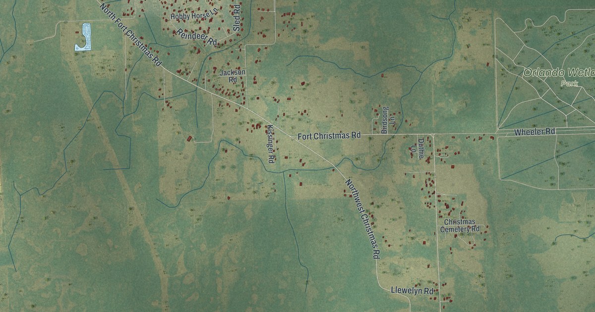
A detailed map of Christmas, Florida, showing every building in its true location, the roads by name, and shaded topographical relief.
Read More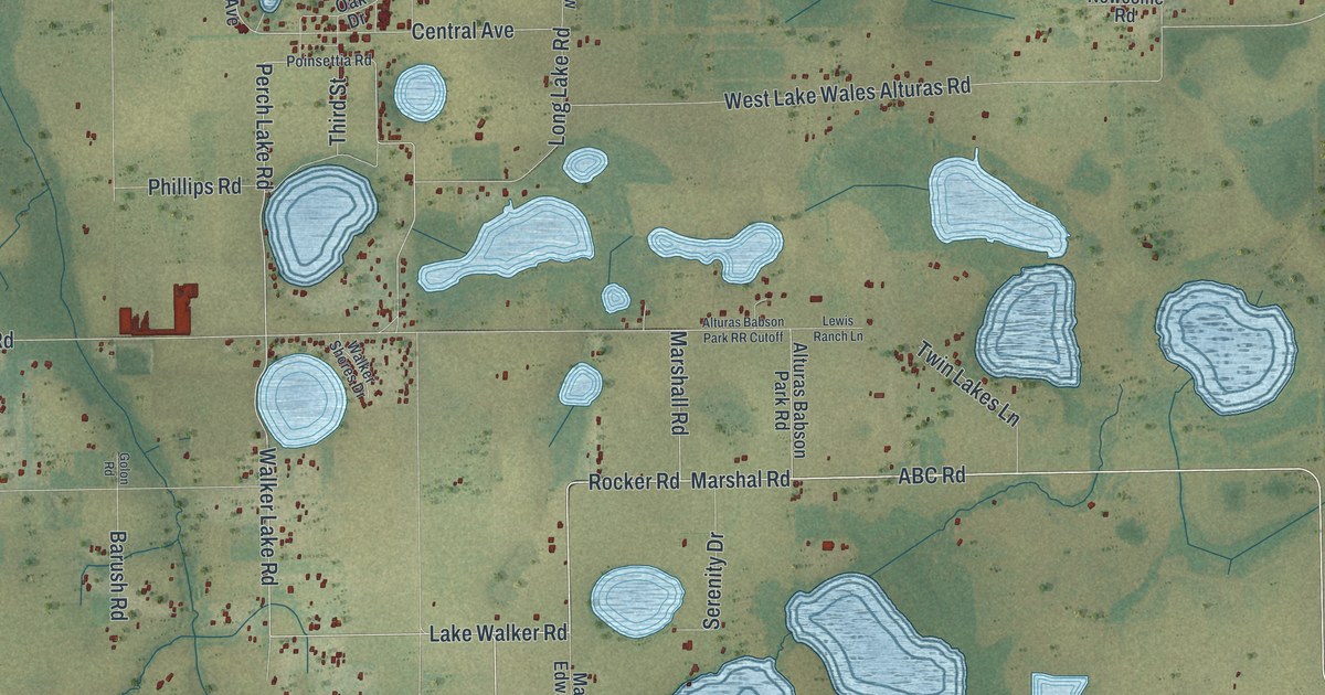
A detailed map of Alturas, Florida, showing every building in its true location, the roads by name, and shaded topographical relief.
Read More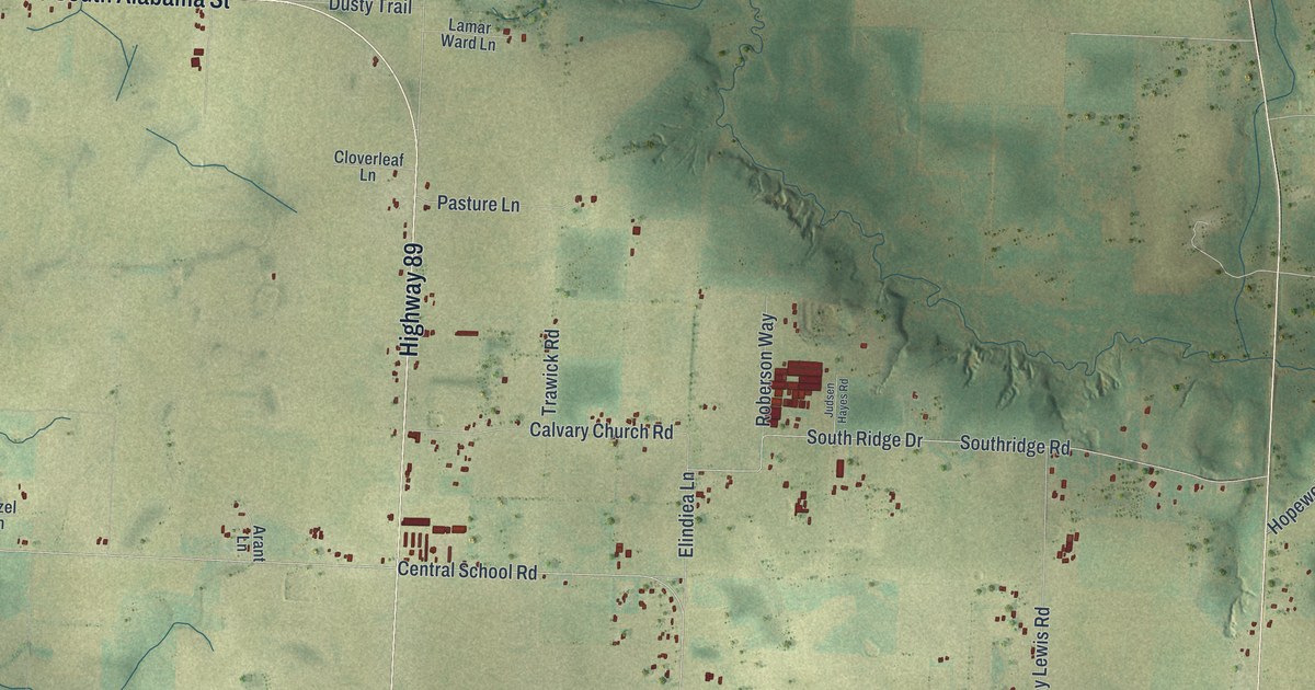
A detailed map of Allentown, Florida, showing every building in its true location, the roads by name, and shaded topographical relief.
Read More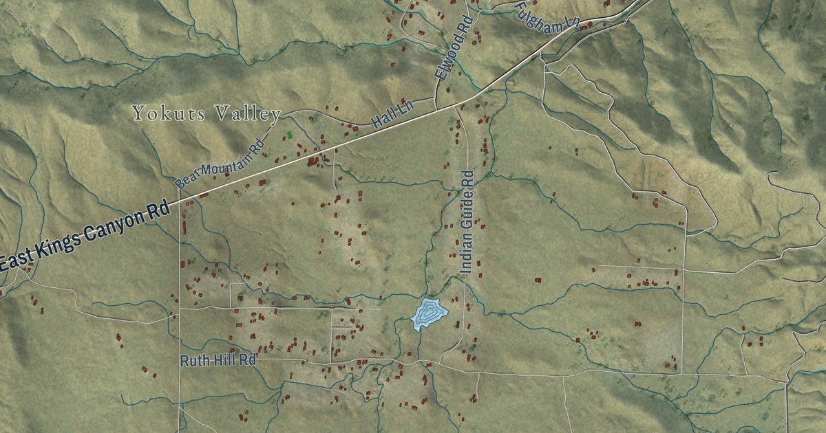
A detailed map of Yokuts Valley, California, showing every building in its true location, the roads by name, and shaded topographical relief.
Read More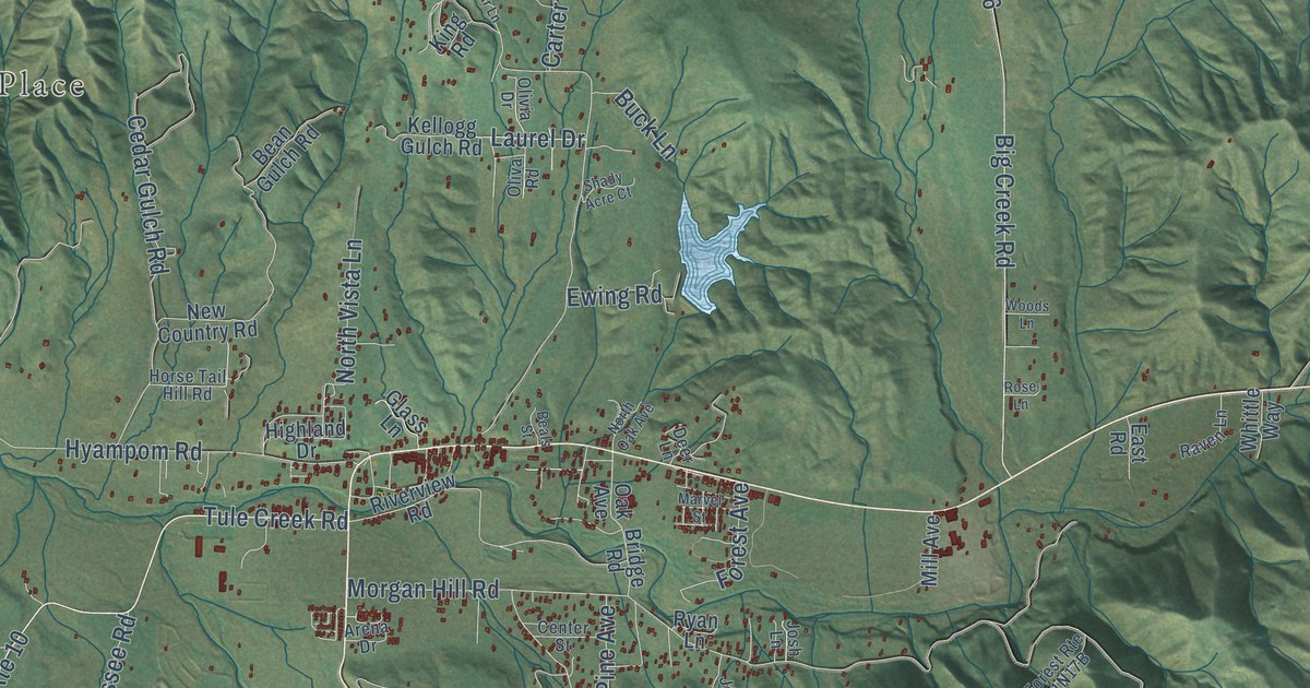
A detailed map of Hayfork, California, showing every building in its true location, the roads by name, and shaded topographical relief.
Read More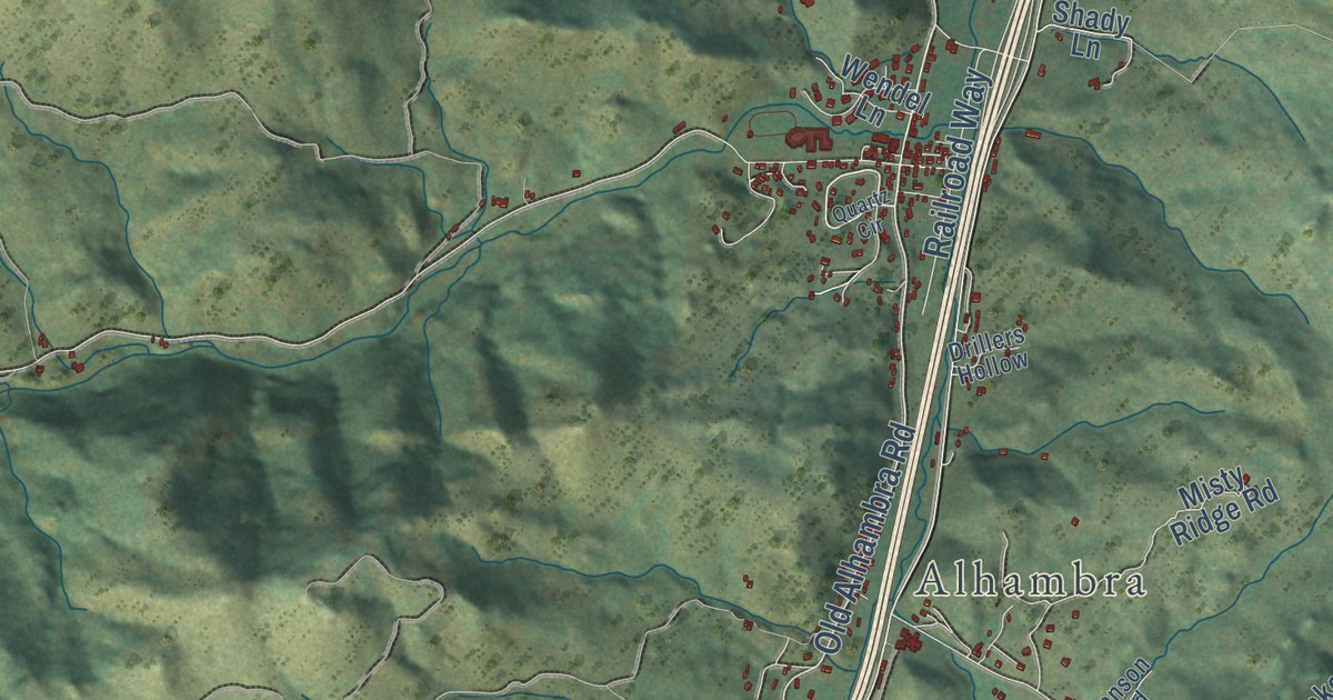
A detailed map of Clancy, Montana, showing every building in its true location, the roads by name, and shaded topographical relief.
Read More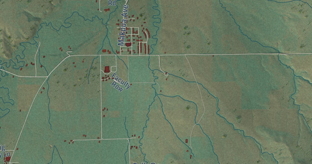
A detailed map of Pryor, Montana, showing every building in its true location, the roads by name, and shaded topographical relief.
Read More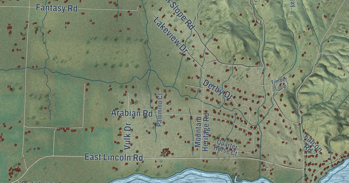
A detailed map of Helena Valley Northeast, Montana, showing every building in its true location, the roads by name, and shaded topographical relief.
Read More















