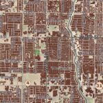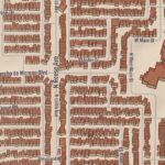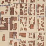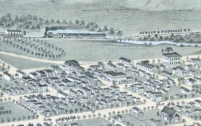
Beautifully restored map of Colorado Springs, CO from 1874
Historic bird’s eye view of Colorado City, Manatou, and Colorado Springs from 1874
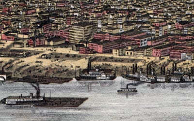
Beautifully restored map of Louisville, Kentucky from 1876
Historic bird’s eye view of Louisville, Kentucky in 1876
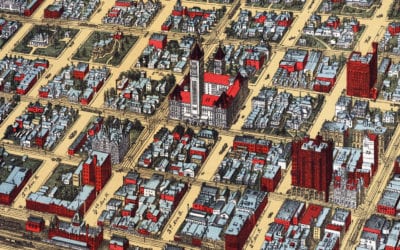
Beautifully restored map of Minneapolis, MN from 1891
Historic bird’s eye view of Minneapolis, Minnesota in 1891
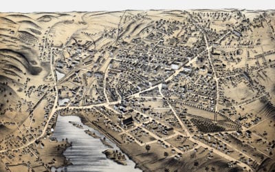
Beautifully restored map of Milford, Mass from 1876
Bird’s eye view of Milford, MA in the late 19th century.
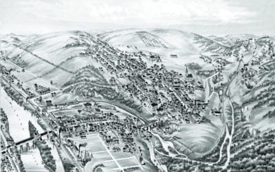
Historic old map of Slatington, Pennsylvania from 1883
Vintage bird’s eye view of Slatington in the late 19th century.
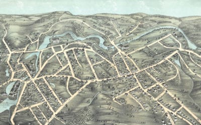
Beautifully restored map of Southbridge, MA from 1878
Bird’s eye view of Southbridge, Massachusetts in the 19th century.
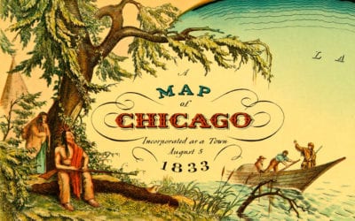
Historic old map shows Chicago, Illinois as it looked in 1833
Amazing old map showing Chicago when it was first incorporated as a town in 1833
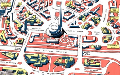
Retro map of the 1940 New York World’s Fair
Map of Flushing Meadows-Corona Park during the 1939 – 1940 World’s Fair
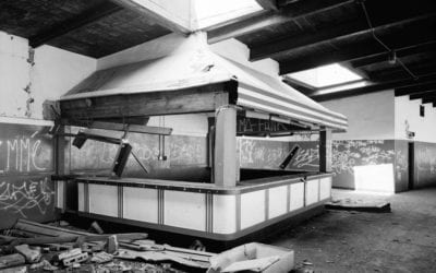
Exploring the ruins of Roosevelt Stadium before its demolition in 1985
Roosevelt Stadium in Jersey City was a significant structure in the history of New Jersey and the racial integration of baseball. The stadium was named for President Franklin Delano Roosevelt. The building was also significant for its association with important events...
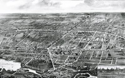
Beautifully detailed map of Wallingford, CT from 1905
Wallingford, Connecticut in the 19th century.