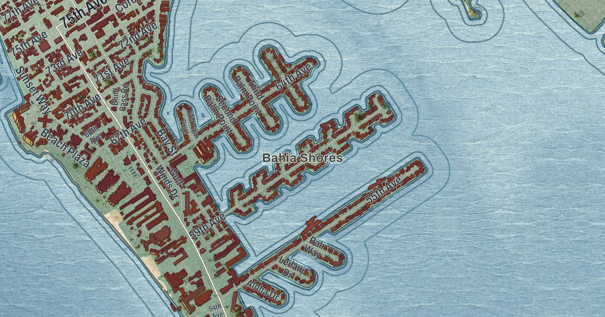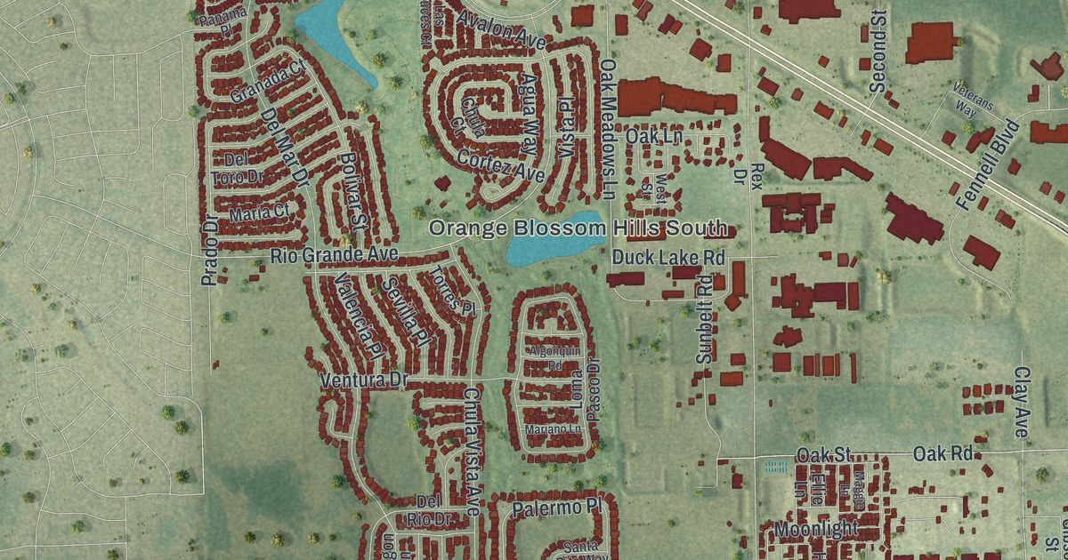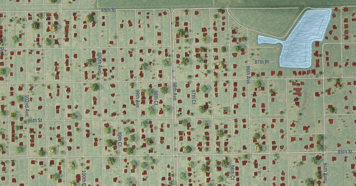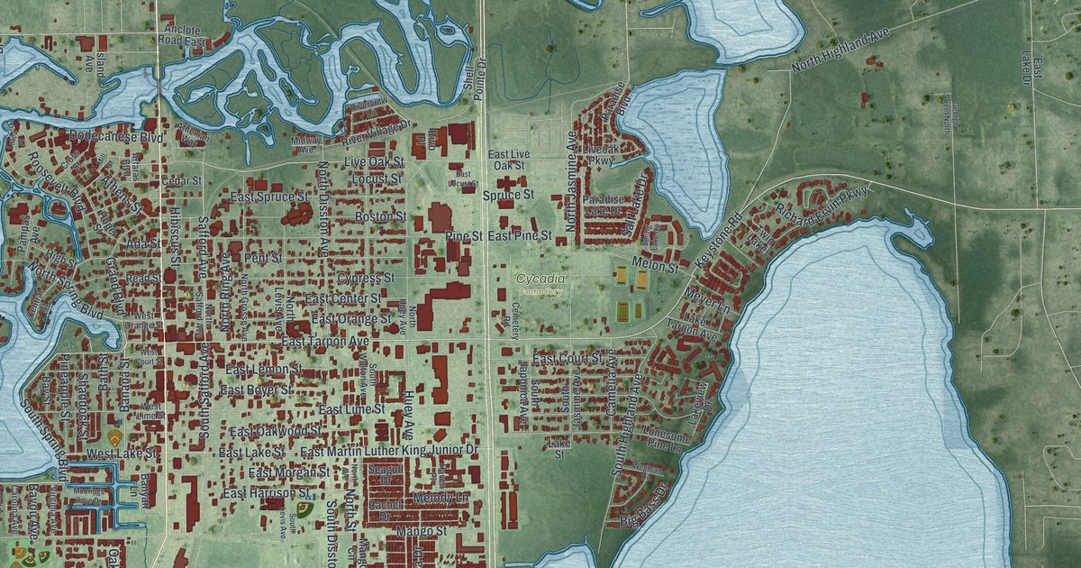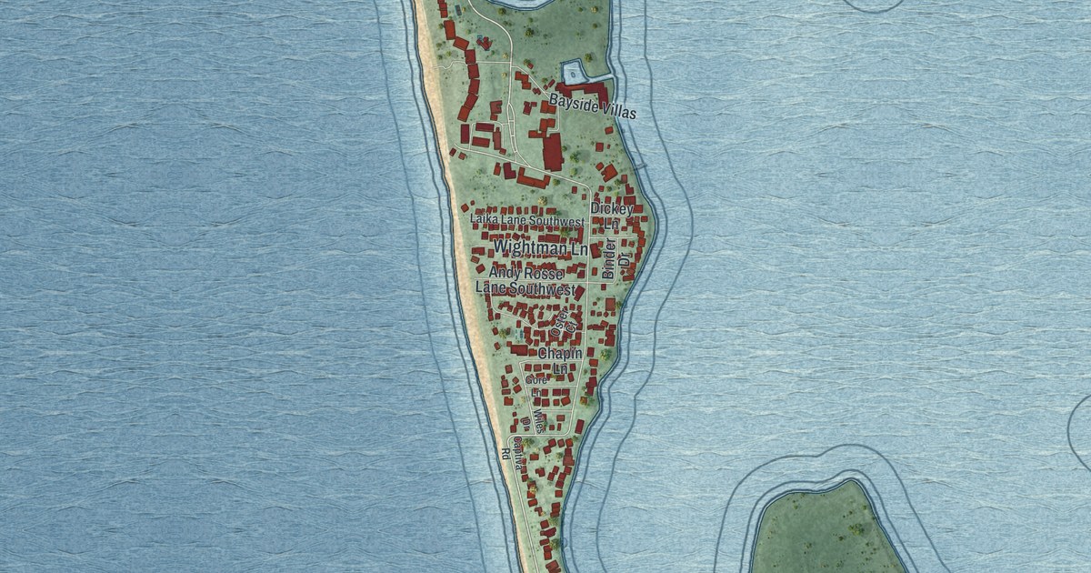
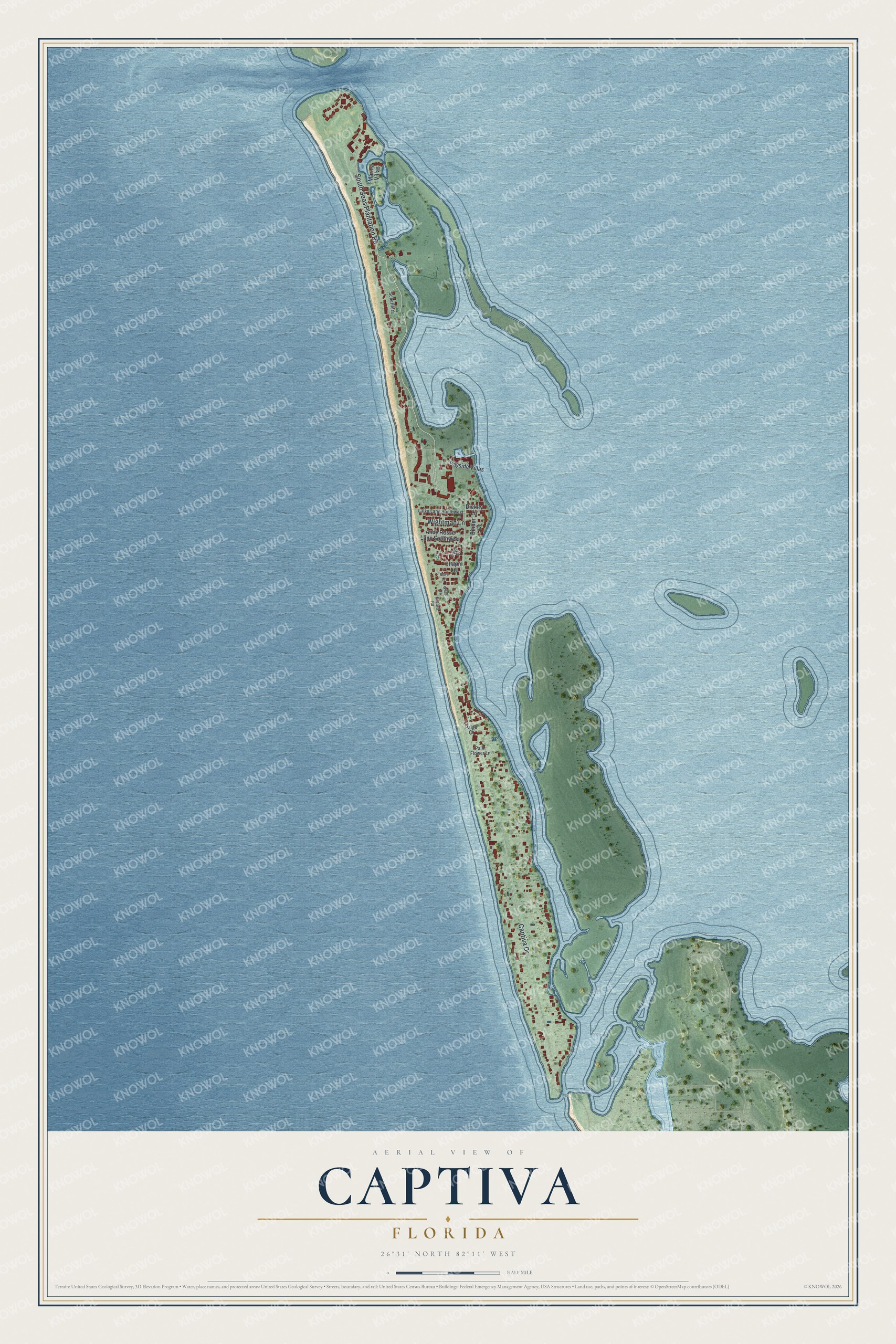
This beautifully detailed map of Captiva, Florida was created in 2026 using aerial imagery combined with modern topographical, census, street and landmark data. It's a modern aerial view of Captiva in Lee County, Florida, that combines modern data with a vintage aesthetic. The roads feature printed names, and if you look closely you can find your exact house accurately shown in its correct location.
Explore an aerial view of Captiva, Florida
On this map you'll find South Seas Plantation Road, Captiva Drive, Wightman Lane, Bayside Villas, Andy Rosse Lane Southwest, Marina Villas, Dickey Lane, Chapin Lane, Binder Drive, Laika Lane Southwest, Schefflera, Palm Flower Lane, and more. Each red shape is a building, so zoom in on the preview and look for yours.
Here is a piece of Captiva history. Bowman and Grace Price opened the 'Tween Waters Inn on Captiva Island in 1931 and spent 30 years building it into a favorite winter resort. Anne Morrow Lindbergh drew inspiration from Captiva for her bestselling book Gift from the Sea, and the cartoonist Ding Darling wrote and drew at the inn for seven winters. Darling also helped create the Sanibel wildlife refuge, which was named in his honor in 1967. That's from the Florida Division of Historical Resources.
Captiva is a community in Lee County. The Census Bureau counted 318 people here in 2020.
Take a closer look at the Captiva map
Names on this map
These names are printed on this map.
Streets and roads: South Seas Plantation Road, Captiva Drive, Wightman Lane, Bayside Villas, Andy Rosse Lane Southwest, Marina Villas, Dickey Lane, Chapin Lane, Binder Drive, Laika Lane Southwest, Schefflera, Palm Flower Lane.
More street names, A to Z
Captiva Road, Gore Lane, Oster Court, Paige Court, Wiles Drive.
See it on a wall
The Captiva map as a framed print. Swipe for more.


Created by KNOWOL in 2026. The buildings are small red shapes, the roads carry their printed names, and shaded relief shows the shape of the land. The title panel reads "AERIAL VIEW OF CAPTIVA, FLORIDA" with 26°31' NORTH 82°11' WEST.
It suits a den, a classroom or a front hall, and it makes a gift for anyone with Captiva roots. Open the preview and find the block you know. See sizes and frames for the Captiva map.