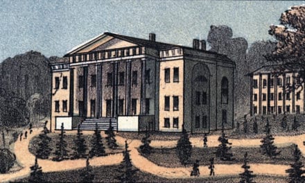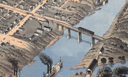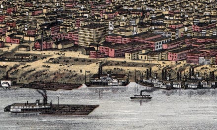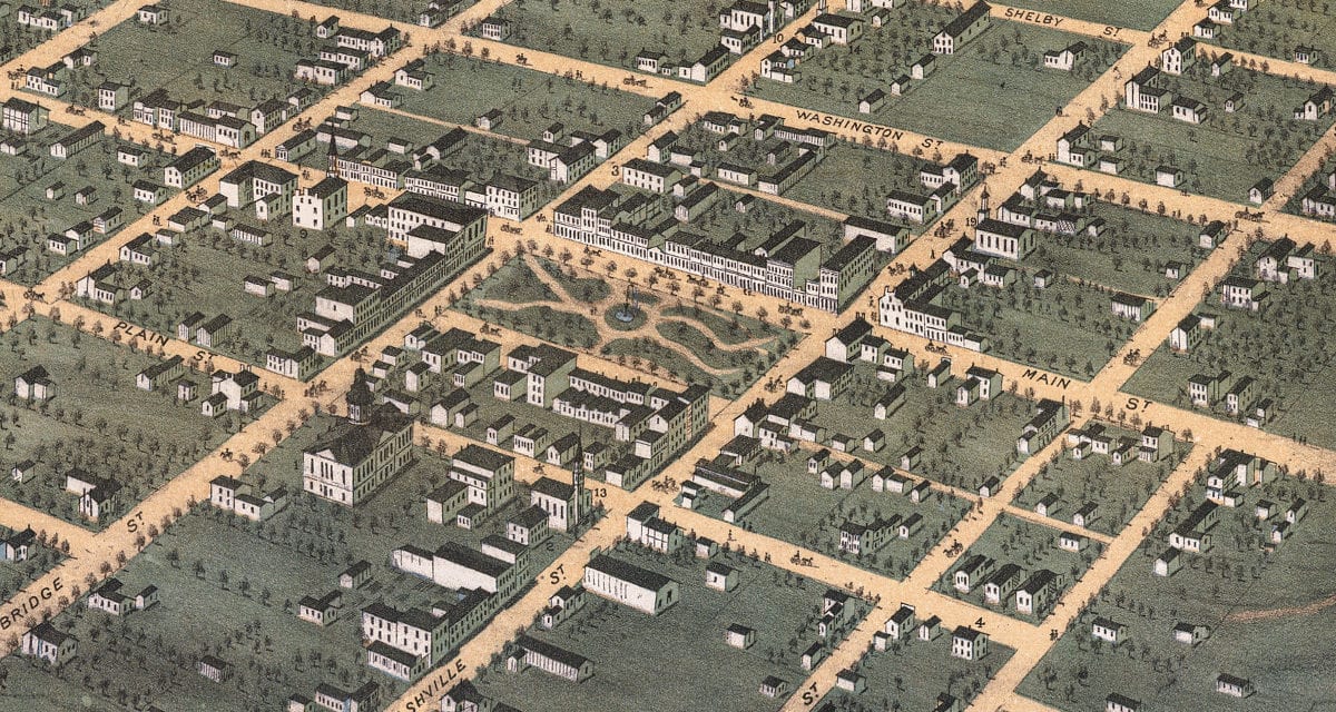
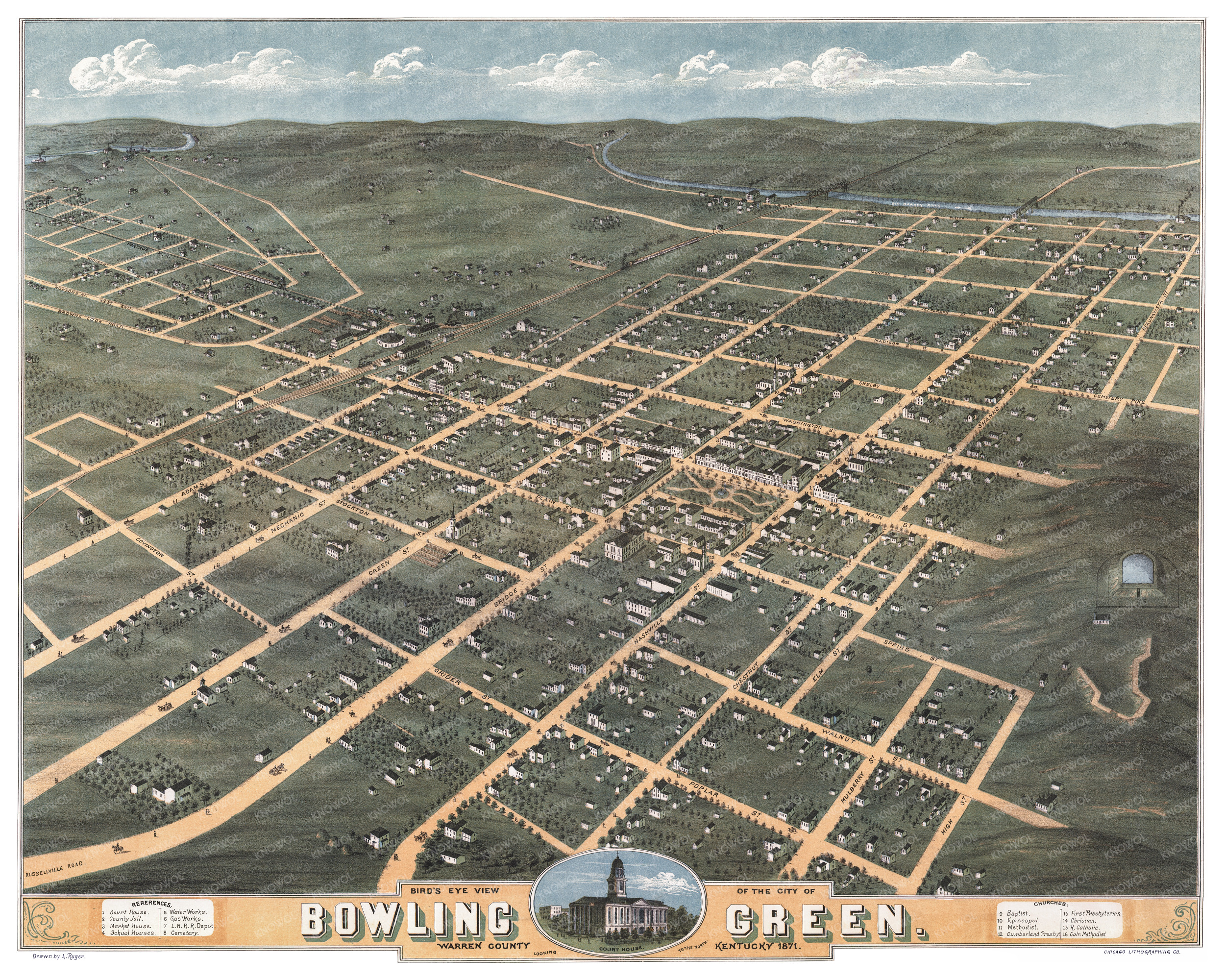
This historic map of Bowling Green, Kentucky was created in 1871 by Albert Ruger, a prominent 19th century map maker. The map shows a bird’s eye view of the city looking to the North, including street names and old landmarks.
Landmarks on the map include the Louisville & Nashville Railroad Depot, Bowling Green Market House, Court House, County Jail, School Houses, Cemetery, Water Works, Gas Works, and Baptist, Episcopal, Methodist, Cumberland Presbyterian, First Presbyterian, Christian and Roman Catholic Churches.
This historic map of Bowling Green was restored by KNOWOL. Reproductions of the restored map are available here.
Historic Old Map of Bowling Green, Kentucky from 1871
This map of Bowling Green will make an attractive addition to your office, library, or den and can even be used to teach children the geography and history of the area. When you’re done exploring, click here to get your copy of the restored map.