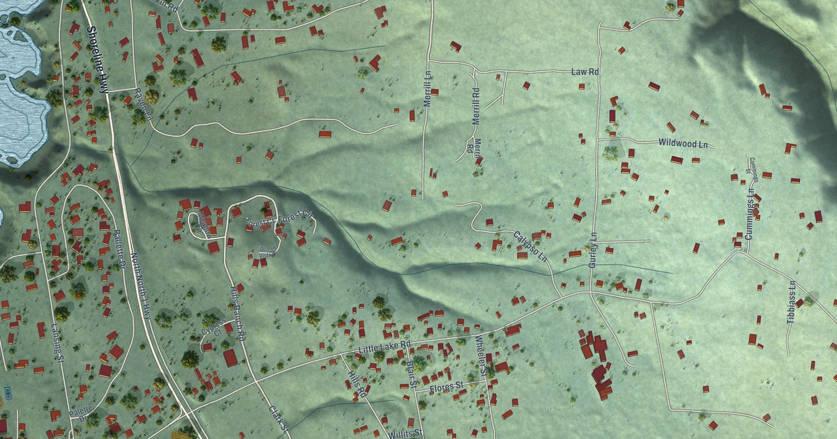
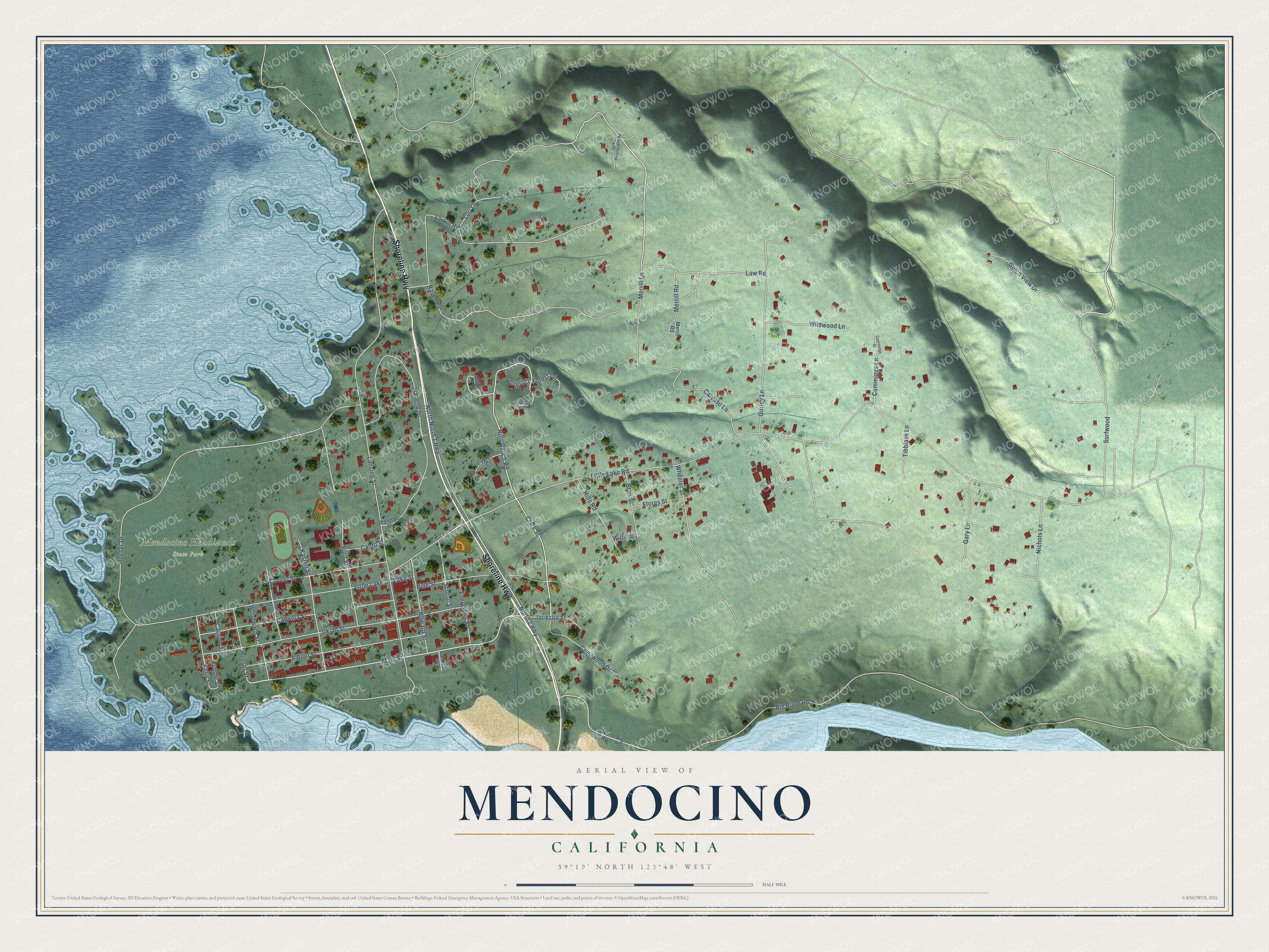
This beautifully detailed map of Mendocino, California was created in 2026 using aerial imagery combined with modern topographical, census, street and landmark data. It's a modern aerial view of Mendocino in Mendocino County, California, that combines modern data with a vintage aesthetic. The roads feature printed names, and if you look closely you can find your exact house accurately shown in its correct location.
Explore an aerial view of Mendocino, California
On this map you'll find Mendocino Headlands State Park, Shoreline Highway, Hills Ranch Road, Clark Street, Main Street, North 1 Highway, Little Lake Road, Big River Road, Lansing Street, Heeser Drive, Pallette Drive, Ukiah Street, and more. Each red shape is a building, so zoom in on the preview and look for yours.
Here is a piece of Mendocino history, in the words of the record. The record at ohp.parks.ca.gov puts it this way: "One of the oldest of California's Chinese houses of worship in continuous use, the temple may date back as far as 1854, though its documented history reaches only to 1883."
Mendocino is a community in Mendocino County. The Census Bureau counted 932 people here in 2020.
Take a closer look at the Mendocino map
Names on this map
These names are printed on this map.
Places: Mendocino Headlands State Park.
Streets and roads: Shoreline Highway, Hills Ranch Road, Clark Street, Main Street, North 1 Highway, Little Lake Road, Big River Road, Lansing Street, Heeser Drive, Pallette Drive, Ukiah Street, Little Lake Street.
More street names, A to Z
Albion Street, Blair Street, Cahto Street, Calpella Street, Calypso Lane, Carlson Street, Church Street, Covelo Street, Crestwood Drive, Cummings Lane, Cummings Street, Cypress Court, Evergreen Street, Flores Street, Ford Street, Forest Circle, Forest Court, Gary Lane, Gulch View Drive, Gurley Lane, Heeser Street, Hills Road, Howard Street, Jack Peterscreek Road, Jackson Street, Kasten Street, Kelly Street, Lake Street, Larkin Road, Law Road, Lori Lane, Meadow Circle, Merrill Lane, Merrill Road, Merril Road, Nichols Lane, North Big River Road, North North 1 Highway, Ocean Vista Court, Palette Drive, Pine Street, Raven Lane, Rundle Street, School Street, Surfwood, Tibbiass Lane, Wheeler Street, Wildwood Lane, William Street, Willits Street, Woodward Street.
Created by KNOWOL in 2026. The buildings are small red shapes, the roads carry their printed names, and shaded relief shows the shape of the land. The title panel reads "AERIAL VIEW OF MENDOCINO CALIFORNIA" with 39°19' NORTH 123°48' WEST.
It suits a den, a classroom or a front hall, and it makes a gift for anyone with Mendocino roots. Open the preview and find the block you know. See sizes and frames for the Mendocino map.