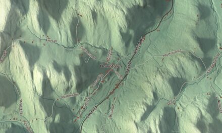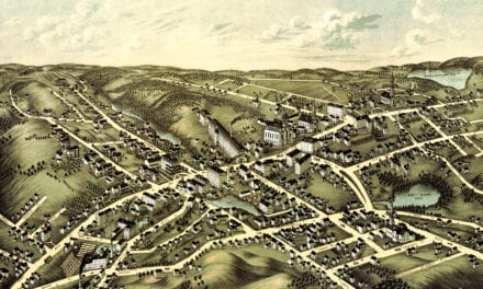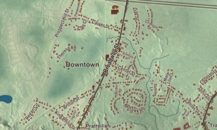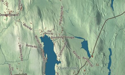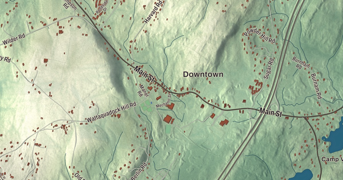
Bolton is a town of orchards and back roads strung along Main Street, Route 117, from the Pan out east to the flats along the Still River in the west. This map prints Main Street, Still River Road, Hudson Road, Nourse Road, Wilder Road and Teele Road, with the Still River, Delaney Pond, Eldridge Pond, West Pond, Barretts Hill, Coburn Hill and Long Hill. Click here to purchase a print of this map for your wall.
Bolton is in Worcester County, 25 miles west-northwest of downtown Boston along Interstate 495.
KNOWOL made this map in 2026 from public survey data and gave it the look of an old atlas. The Census Bureau supplies the roads and the town line, and United States Geological Survey elevation data shades the hills: Wattaquadock Hill in the southwest, at 640 feet the highest point in town, with Vaughn Hill close behind. Bolton covers 20.0 square miles and had 5,665 people at the 2020 census, and it’s still home to many farms and apple orchards.
Over Wattaquadock Hill
The Nashaway people fished and farmed along the Nashua River, and in 1643 their sachem Sholan sold the trader Thomas King of Watertown a great tract that later became Lancaster, Bolton and five other towns. Thomas King was the first settler to cross the Wattaquadock hills, on an Indian trail that became the Bay Path, and in 1656 the Concord highway was laid out over Wattaquadock Hill. The Town of Bolton’s recorded history, in the Secretary of the Commonwealth’s list, dates European settlement to 1682, and by 1711 more than 150 people lived on what is now Bolton soil. The town split from Lancaster along the Still River, where the line still runs, and Bolton was incorporated as a town on June 24, 1738, and named for the Duke of Bolton. The town remains part of Worcester County today.
The oldest building left in town is believed to be the farmhouse of the Whitcomb Inn and Farm at 43 Old Sugar Road, built around 1708 when David Whitcomb got the land from his father. A restoration in 1937 and 1938 took off most of its 19th-century changes. Limestone was mined at the Bolton Lime Kiln and Quarry, and brick was made along the Still River from colonial times into the 1800s; the Haynes House of about 1820, at 304 Still River Road, was likely built of brick from the Haynes Brickyard there.
General Whitcomb and the liberty pole
During the Revolution, Bolton’s farmers put up a liberty pole in the town center and largely backed the cause. John Whitcomb, born here when Bolton was still part of Lancaster, had served in the French and Indian War and sat many times in the General Court. On April 19, 1775, as colonel of the Worcester County minutemen, he helped pursue the British after the fighting at Lexington and Concord, and that June he was elected the first major general of the Massachusetts army and led a regiment at Lechmere Point during the Battle of Bunker Hill. He is buried in Bolton’s Old South Burying Ground. By the 1860s Bolton people had formed an abolitionist society, and 21 men from the town died fighting for the Union.
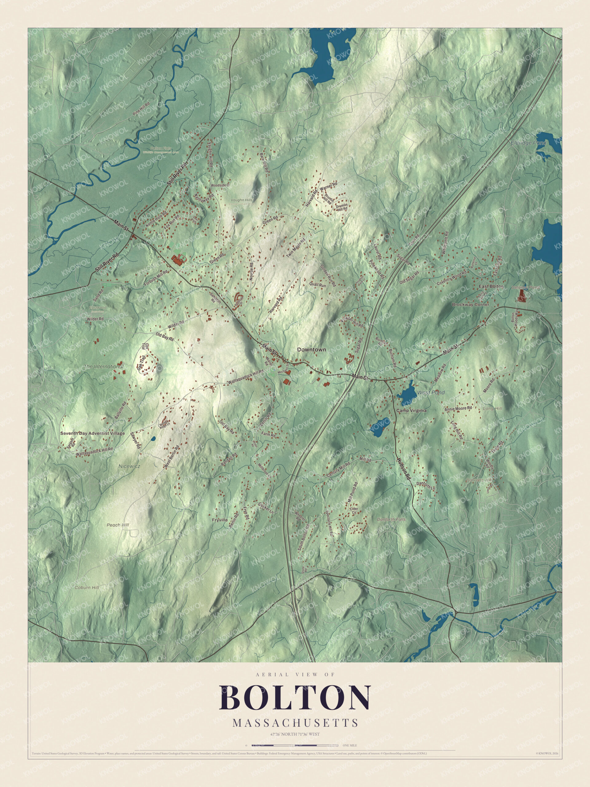
Click to explore a larger preview. The digital watermark does not appear on printed maps.
Names on this map
These names are printed on this map.
Places: Downtown, Seventh Day Adventist Village, Fryville, Brockway Corner, Barretts Hill, Coburn Hill, Long Hill, Peach Hill, Danforth Falls, Delaney Pond, Eldridge Pond, West Pond, Bolton Flats Wildlife Management Area, Eastwood Cemetery, Nicewicz, Vaughn Hills Conservation Area, Camp Virginia, East Bolton and The International.
Streets and roads: Main Street, Still River Road, Hudson Road, Nourse Road, Wilder Road, Teele Road, South Bolton Road, Harvard Road, East End Road, Wattaquadock Hill Road, Sugar Road, Berlin Road.
More street names, A to Z
Annie Moore Road, Ballville Road, Bare Hill Road, Bolton Woods Way, Burnam Road, Burnham Road, Butternut Lane, Century Mill Road, Cider Circle, Corn Road, Coventry Wood Road, Danforth Lane, Deer Path, Drumlin Hill Road, Drunlin Hill Road, Farm Road, Forbush Mill Road, Fox Run Road, Frye Road, Golden Run Road, Green Road, Harris Farm Road, Houghton Farm Lane, Jordan Road, Kettle Hole Road, Laurel Road, Liberty Road, Long Hill Road, Manor Road, Meadow Road, Mechanic Street, Millbrook Lane, Mill Pond Road, Mill Road, Moore Road, Nashaway Road, Oak Trail, Oak Trial, Old Bay Road, Old Sugar Road, Pine Hill Road, Pinewood Road, Pondside Drive, Powder Hill Road, Quail Run, Quaker Lane, Randall Road, Sampson Road, Sand Road, Sargent Road, Sawyer Road, Spectacle Hill Road, Stone Road, Sunset Ridge Lane, Twin Maple Road, Vaughn Hill Road, Warner Road, West Berlin Road, Wheeler Road, Whitcomb Road, Woobly Road, Woodside Drive.
See it on a wall
The Bolton map as a framed print. Swipe for more.


Main Street and the Pan
Bolton’s first meeting house, around 1740, stood outside today’s center. By the early 1800s the town had shifted to the main east-west road, now Route 117, which became a busy stagecoach stop with inns and taverns, and by 1830 the center looked much as it does now. The Bolton Center Historic District runs along Main Street, with the first minister’s house of about 1741 at 752 Main Street, the 1853 Town House, a one-room schoolhouse of 1825, the Tudor Revival library the Whitney family gave in 1903, and the Federated Church of 1928.
East along Main Street, the Pan is named for its flat ground. Settled in the 18th century, it grew into the second-largest village in town, with farms, sawmills and a tannery and a run of Federal-style houses, and it became the Pan Historic District in 2018. The Pan Burying Ground at 477 Main Street, opened in 1822 as the town’s second cemetery, holds about 400 graves with stones and a seven-chambered group tomb built in 1839. The Bolton Fair began in Bolton in 1874 as an agricultural fair and moved to neighboring Lancaster in 2004.
Around the map
Start at the Seventh Day Adventist Village, then follow Main Street, Still River Road, Hudson Road, Nourse Road, Wilder Road and Teele Road across town, and look outward toward Fryville, Brockway Corner and East Bolton. The Still River rises in a pond in Bolton and runs about 5 miles through Bolton and Harvard to the Nashua River. The low ground between the two rivers, left by glacial Lake Nashua, is the Bolton Flats Wildlife Management Area, 455 acres in Bolton, Lancaster and Harvard, where people come to watch birds, canoe and fish, and where the endangered Blanding’s turtle lives. Delaney Pond, Eldridge Pond, West Pond, Barretts Hill, Coburn Hill, Long Hill and Danforth Falls are all printed on the map.
Bolton’s map makes a fine addition to an office, library or den, and it can help teach children the geography and history of the town that gave Massachusetts its first major general. It’s made for people who call Bolton home, from the Pan to the flats, and it shows the town as it looks today. Zoom in on the preview above to explore the details, then click here to get your copy of the Bolton, Massachusetts map.

Sources
- Bolton, Massachusetts, Wikipedia
- Wattaquadock Hill, Wikipedia
- Sholan, Wikipedia
- Whitcomb Inn and Farm, Wikipedia
- John Whitcomb (general), Wikipedia
- Bolton Center Historic District, Wikipedia
- Pan Historic District, Wikipedia
- Pan Burying Ground, Wikipedia
- Still River (Nashua River), Wikipedia
- Bolton Flats Wildlife Management Area, Wikipedia
- City and Town Incorporation and Settlement Dates, Secretary of the Commonwealth of Massachusetts (archived copy)