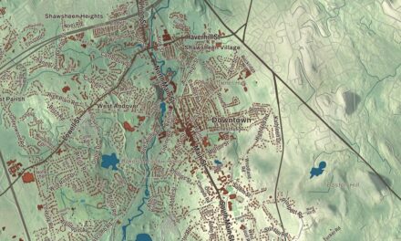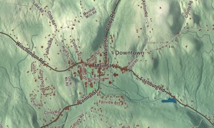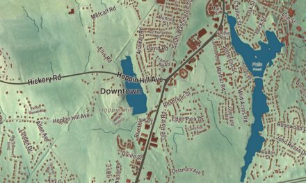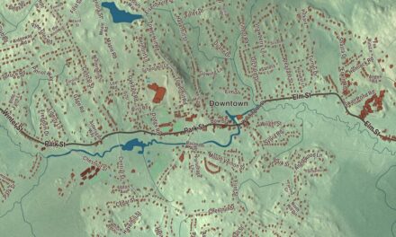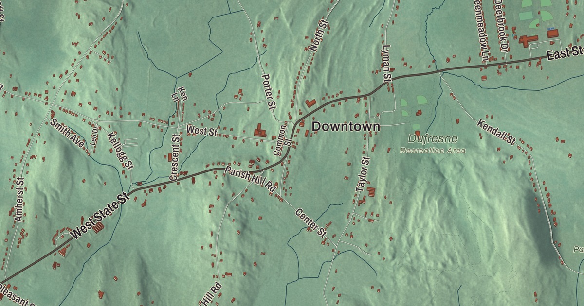
Granby reaches from the peaks of the Holyoke Range in the north down to Route 202, which crosses town on East and West State Street. This map prints East State Street, West State Street, Amherst Road, Amherst Street, Morgan Street and Miller Street, with Aldrich Lake, Forge Pond, the Bachelor Brook Reservoir, Bare Mountain, Bagg Hill and Cold Hill. Click here to purchase a print of this map for your wall.
Granby is in Hampshire County.
KNOWOL made this map in 2026 from public survey data and gave it the look of an old atlas. The relief comes from United States Geological Survey elevation data, and the streets and the town line come from the Census Bureau. Granby covers 28.1 square miles between South Hadley, Amherst, Belchertown, Ludlow and Chicopee, about 13 miles north of Springfield. U.S. Route 202 crosses town on East and West State Street, and Route 116 runs northeast to Amherst on Amherst Road. Granby had 6,110 people at the 2020 census.
A meetinghouse fight and a new town
Granby began as part of Hadley, one of the towns carved from Hadley’s lands. In the 1650s and 1660s John Pynchon bought land here from Norwottuck sachems, and one 1662 deed with a woman named Awonunsk and her family covered land in today’s Granby, South Hadley and Belchertown. The Town of Granby’s recorded history, in the Secretary of the Commonwealth’s list, dates European settlement to 1727. That November, people in what are now South Hadley and Granby asked to form their own precinct of Hadley, and they got it in 1732.
Then came a long quarrel. From 1751 through 1761 the district couldn’t agree on whether a new meetinghouse should go west of Cold Hill, in today’s South Hadley, or east of it, in today’s Granby. In the summer of 1761 the west side started building one without town meeting approval, and 27 east side residents, joined by three from the west, tore the half-built frame down. The General Court split the district into two parishes in 1762, and with feelings still running high it set off the east parish as the Town of Granby, incorporated on June 11, 1768. The town was named for John Manners, Marquess of Granby, a British hero of the Seven Years’ War. The town remains part of Hampshire County today.
Its own telephone company
Granby has run its own telephone service, Granby Telephone & Telegraph, since 1903. The town page says it’s one of only three towns in Massachusetts whose local telephone service isn’t furnished by the former Bell System; the other two are Richmond and Hancock.
Granby also has a place in the history of science. Abbie Lathrop, a schoolteacher from Illinois, moved to a farm in Granby in 1900. When her poultry business failed, she began breeding mice and rats, starting with a pair of waltzing mice she got in Granby, and her farm grew to more than 11,000 mice. She sold them to researchers, including Harvard’s Bussey Institute, and from 1913 she wrote journal articles on cancer in mice with the pathologist Leo Loeb, built on experiments at her farm. Zenas Ferry Moody, later the seventh governor of Oregon, was born in Granby in 1832.
The Holyoke Range
The Holyoke Range rises in the north of town, and its major peaks here are Long Mountain and Mount Norwottuck. Norwottuck is the highest point in Granby, at 1,106 feet, and the highest peak of the whole range. Edward Hitchcock, the Amherst College geologist, gave it the Native name Norwottuck in place of its old name, Hilliard Knob. Below its summit are the Horse Caves, really rock ledges, where by legend some of Daniel Shays’s men hid after their defeat in Shays’ Rebellion. The Metacomet-Monadnock Trail follows the ridge through Granby. Bare Mountain, just west, stands mostly in Amherst and South Hadley, with part of its southern flank in Granby.
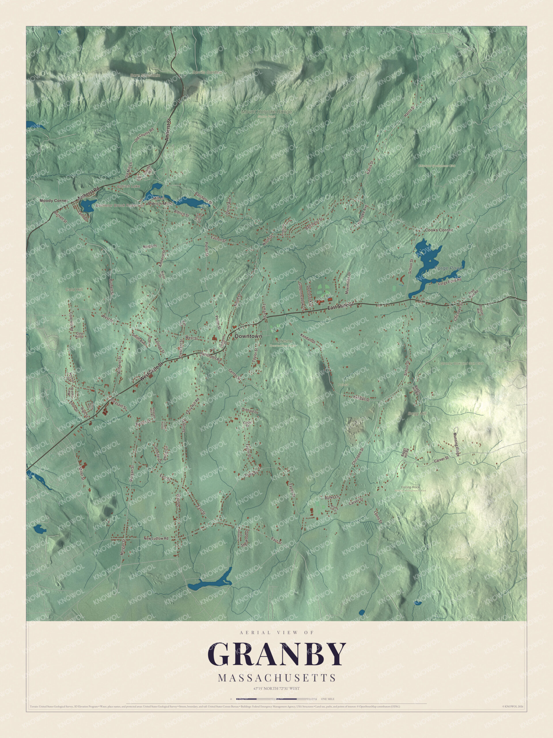
Click to explore a larger preview. The digital watermark does not appear on printed maps.
Names on this map
These names are printed on this map.
Places: Downtown, Aldrich Mills, Cooks Corner, Bagg Hill, Bare Mountain, Cold Hill, Devils Garden, Aldrich Lake, Bachelor Brook Reservoir, Forge Pond, Chicopee Sportsmens Club, Dufresne Recreation Area, Facing Rock Wildlife Management Area, Granby Bow and Gun Club, Mount Holyoke Range State Park, Palasz and Moody Corner.
Streets and roads: East State Street, West State Street, Amherst Road, Amherst Street, Morgan Street, Miller Street, East Street, Pleasant Street, Batchelor Street, West Street, Carver Street, South Street.
More street names, A to Z
Acrebrook Drive, Aldrich Street, Baggs Hill Road, Barton Street, Burke Lane, Burnett Street, Cedar Drive, Center Street, Chicopee Street, Circle Drive, Cold Hill Drive, Cold Hill Road, Common Street, Country View Lane, Crescent Street, Darrel Avenue, Deerbrook Drive, Dressel Avenue, Easton Street, Ferry Hill Road, Forge Pond Road, Fred Ruel Road, Granby Heights, Greenmeadow Lane, Harris Street, High Street, Hubbard Drive, Jennifer Drive, Karen Drive, Kellogg Street, Kendall Street, Ken Lane, Kizior Drive, Leo Drive, Lyman Street, Lynn Drive, Lyons Street, Mary Lyon Drive, Maximilian Drive, Meadow Glen Drive, Mill Lane, Munsing Ridge, New Ludlow Road, Norman Avenue, North Street, Notch Place, Oak Drive, Old County Road, Old Mill Lane, Parish Hill Road, Pheasant Hill Road, Philip Circle, Pinebrook Circle, Porter Street, School Street, Sherwood Drive, Smith Avenue, Taylor Street, Trompke Avenue, Trout Lilly Lane, Truby Street.
See it on a wall
The Granby map as a framed print. Swipe for more.


Around the map
Start with Aldrich Mills, then follow East State Street, West State Street, Amherst Road, Amherst Street, Morgan Street and Miller Street across town. Look outward toward Cooks Corner and Moody Corner. Aldrich Lake, the Bachelor Brook Reservoir, Forge Pond, Bagg Hill, Bare Mountain and Cold Hill are all printed on the map, and every one of those names is right there on the artwork. Cold Hill is the same hill the old parish quarrel turned on.
The Granby map makes a fine addition to an office, library or den, and it can help teach children the geography and history of a town that fought its way out of a parish quarrel. It’s made for people who call Granby home, from Aldrich Mills to Moody Corner, and it shows the town as it looks today. Zoom in on the preview above to explore the details, then click here to get your copy of the Granby, Massachusetts map.

Sources
- Granby, Massachusetts, Wikipedia
- John Manners, Marquess of Granby, Wikipedia
- Abbie Lathrop, Wikipedia
- Zenas Ferry Moody, Wikipedia
- Mount Norwottuck, Wikipedia
- Horse Caves, Wikipedia
- Bare Mountain (Massachusetts), Wikipedia
- City and Town Incorporation and Settlement Dates, Secretary of the Commonwealth of Massachusetts (archived copy)