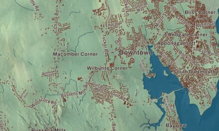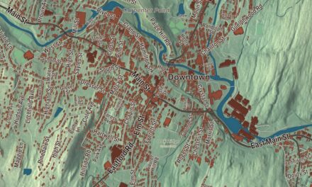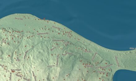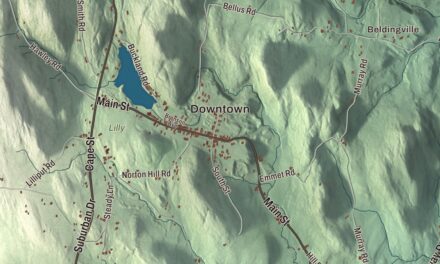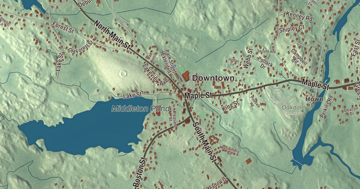
Middleton takes its name from its place midway between the early settlements of Salem and Andover, and Route 114, on the line of the old Essex Turnpike, runs right through the center of town. This map prints North Main Street, South Main Street, Maple Street, Boston Street and Fuller Pond Road, with Middleton Pond, Creighton Pond, Emerson Brook Reservoir and Ferncroft Hill. Click here to purchase a print of this map for your wall.
Middleton is in Essex County.
KNOWOL made this map in 2026 from public survey data and gave it the feel of an old county atlas. United States Geological Survey elevation data brings out the low hills, and the Census Bureau supplied the streets and the town line. Middleton covers 14.5 square miles, bounded by North Reading on the west, North Andover on the northwest, Boxford on the northeast, Topsfield on the east, Danvers on the southeast and Peabody on the south, with a 0.3-mile border with Lynnfield to the southwest. It had 9,779 people at the 2020 census. The Ipswich River comes in from the North Reading and Lynnfield line, runs along the Peabody and Danvers borders, then turns north through town and leaves between Boxford and Topsfield. Pieces of Harold Parker State Forest and Boxford State Forest lie inside the town, along with the Peabody and Sanford reservations.
Between Salem and Andover
Before English settlement this land lay in a loosely defined border country between the Massachusett and the Pennacook, and an Algonquin sachem founded a winter village on Will’s Hill. The Town of Middleton’s recorded history, in the Secretary of the Commonwealth’s list, dates European settlement to 1659. The first settler was Bray Wilkins, who came up from Salem with a large family after buying 600 acres from Governor Bellingham. Until 1728 the area counted as part of Topsfield and took in land that had once been Salem’s. Middleton was incorporated as a town in 1728. The town remains part of Essex County today.
Middleton grew as a farm town along the Ipswich River, with homesteads of hundreds of acres. For about seventy years in the 1700s an ironworks ran near what are now Mill and Liberty streets, started by Thomas Flint and his son of Salem with partners from Boxford and Topsfield. The Lieutenant Thomas Fuller House was built around 1684, with a lean-to added by 1690, and the Deacon Edward Putnam Jr. House at 4 Gregory Street dates to about 1705; both First Period houses joined the National Register in 1990. The Wilkins house of 1693 served as a tavern on the main road between Salem and Lawrence, and the town page counts a tree at 39 Peabody Street, about 400 years old, among the oldest in Massachusetts. From the late 1700s to the mid-1800s, families from Lawrence and Lowell came to Middleton on vacation.
Charles L. Flint was born in Middleton on May 8, 1824. He served 27 years as the first secretary of the Massachusetts Board of Agriculture, helped found the Massachusetts Agricultural College, now the University of Massachusetts Amherst, and served as its president without pay. His will left the town a $15,000 endowment, and the Flint Public Library opened in 1891 with 5,000 volumes. The Essex Railroad ran through Middleton from the mid-1840s into the mid-20th century, and in 2018 the Middleton Rail Trail Alliance began work to turn the old line into a walking and biking trail. Today Middleton shares Masconomet Regional High School with Boxford and Topsfield, a school named for the Agawam sagamore Masconomet.
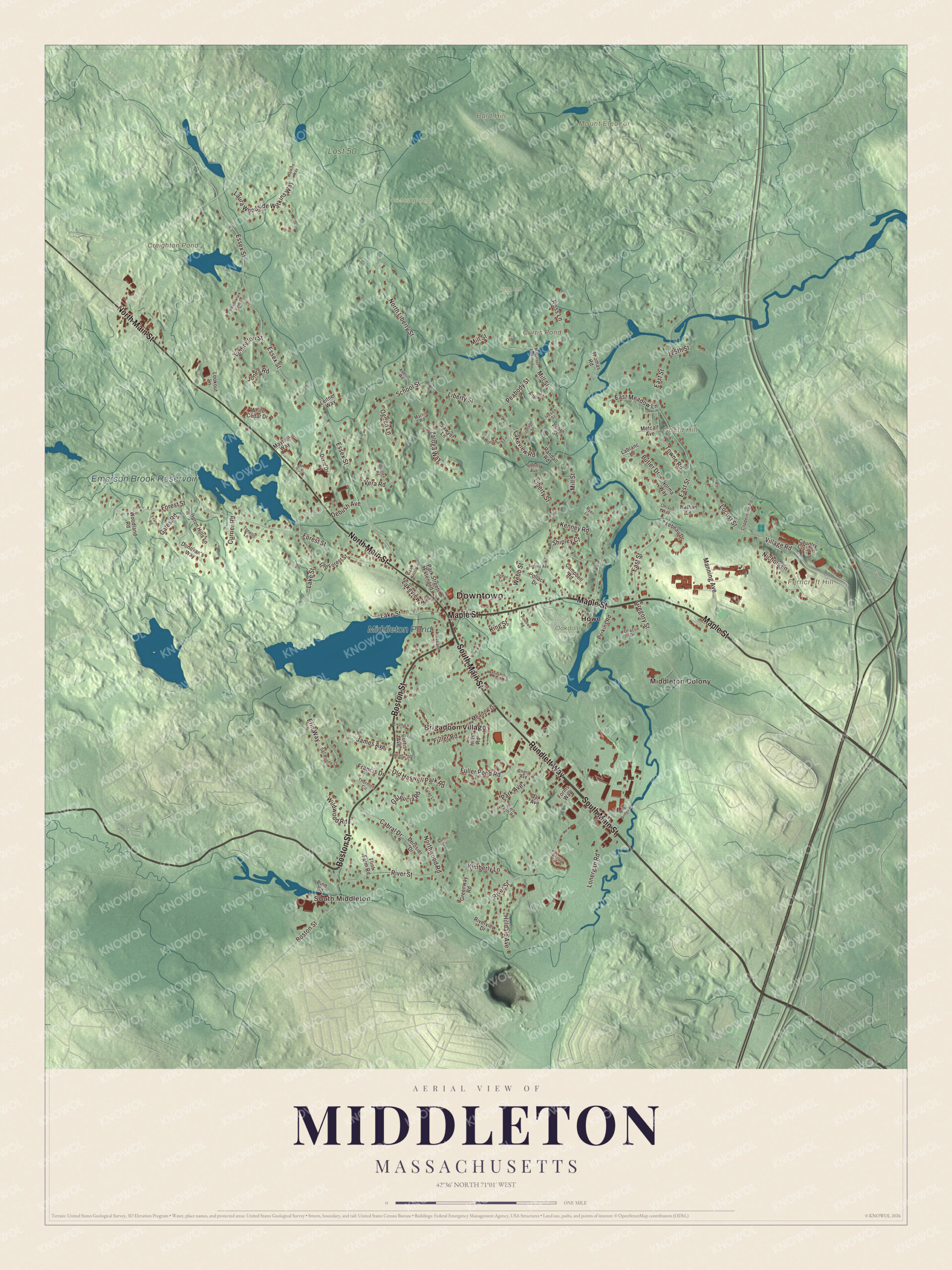
Click to explore a larger preview. The digital watermark does not appear on printed maps.
Names on this map
These names are printed on this map.
Places: Downtown, South Middleton, Middleton Colony, Bald Hill, Ferncroft Hill, Gould Hill, Mount Eleanor, Creighton Pond, Curtis Pond, Middleton Pond, Emerson Brook Reservoir, Jopp Lot, Lost 50, Oakdale Cemetery, Prichard Woodlot, Brigadoon Village and Howe.
Streets and roads: South Main Street, Maple Street, North Main Street, Rundlett Way, Boston Street, Fuller Pond Road, North Liberty Street, Forest Street, East Street, Kimberly Lane, Essex Street, River Street.
More street names, A to Z
125th Street, Acorn Street, Arrow Street, Averill Road, Blais Farm Road, Butler Drive, Cabral Drive, Campbell Road, Cherry Avenue, Coppermine Road, Country Club Lane, Currier Road, Curtis Avenue, Deacon Drive, Debush Avenue, Derosier Drive, Dixie Drive, Donovan's Way, East Meadow Lane, Eddington Street, Erin Way, Evans Road, Evon Lane, Flint Farm Road, Forms Way, Francis Drive, Fuller Road, Galeucia Road, Gates Road, Greenway Road, Gregory Street, Hilldale Avenue, Hills Road, Iveson Street, James Avenue, Johns Avenue, Jones Road, Jordan Lane, Kenney Road, King Street, Lablanc Lane, Lake Street, Lakeview Avenue, Lakeview Road, Laura Woodside Watkins Way, Lebeau Drive, Leitner Way, Liberty Street, Locust Street, Log Bridge Road, Lonergan Road, Long Lane, Lookout Lane, Manning Avenue, Martin Road, Maytum Way, Meadow Drive, Meadowlark Farm Lane, Metcalf Avenue, Mill Street, Mill Street Extended, Nathan Lane, Nichols Lane, Norma Way, Northwood Road, Oak Avenue, Oak Knoll, Ogden Lane, Ohlson Way, Old Forest Street, Old Haswell Park Road, Park Avenue, Park Street Extended, Peabody Street, Peaslee Circle, Perkins Road, Phaneuf Street, Pinedale Road, Pine Road, Pleasant Street, Pollack Drive, Randall Road, Riverview Drive, Ross Lane, Ryer Lane, Samos Circle, Sawyer Lane, School Street, Second Avenue, Sgt Roode Lane, Shipley Court, Stanley Road, Thomas Road, Thornton Circle, Tonello Lane, Towne Road, Tyler Lane, Upton Hills Lane, Useador Street, Vera Road, Village Road, Watkins Way, Webb Street, Wennerberg Road, White Cedar Drive, Wildwood Road, Woodbury Lane, Woodland Road, Zaloga Way.
See it on a wall
The Middleton map as a framed print. Swipe for more.


Around the map
Start with South Middleton. Follow South Main Street, Maple Street, North Main Street, Rundlett Way, Boston Street and Fuller Pond Road across town. Then look outward toward Middleton Colony, Brigadoon Village and Howe. Creighton Pond, Curtis Pond, Middleton Pond, Fuller Pond, Emerson Brook Reservoir, Bald Hill, Ferncroft Hill and Gould Hill are all printed on the map, each name placed right on the artwork. Middleton Pond is one of the town’s two larger ponds, with Andover Meadow Pond, and in the town center Route 114 crosses Route 62.
The Middleton map makes a fine addition to an office, library or den, and it can help teach children the geography and history of a river town between Salem and Andover. It’s made for people who call Middleton home, from South Middleton to Brigadoon Village, and it shows the town as it looks today. Zoom in on the preview above to explore the details, then click here to get your copy of the Middleton, Massachusetts map.

Sources