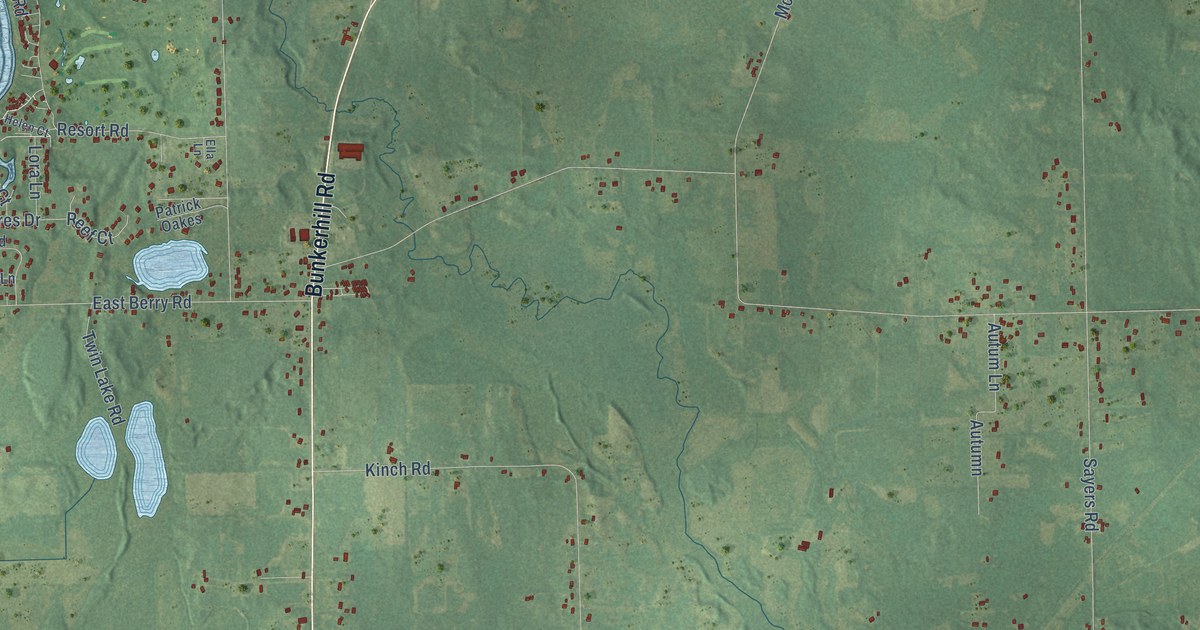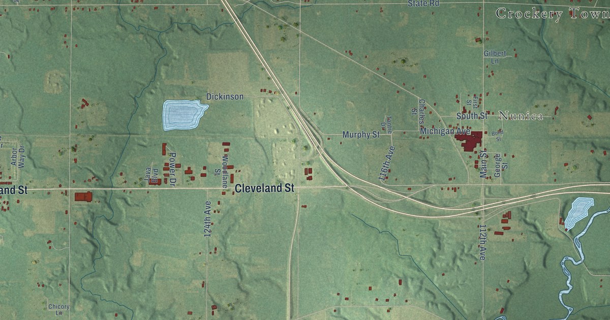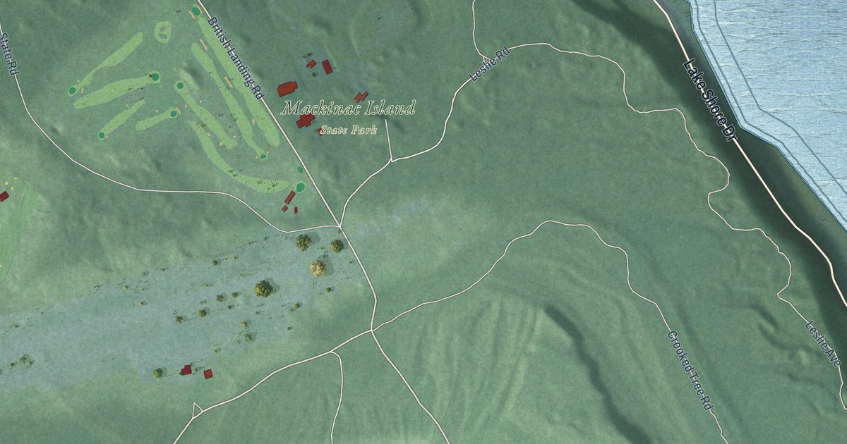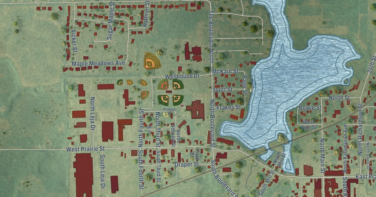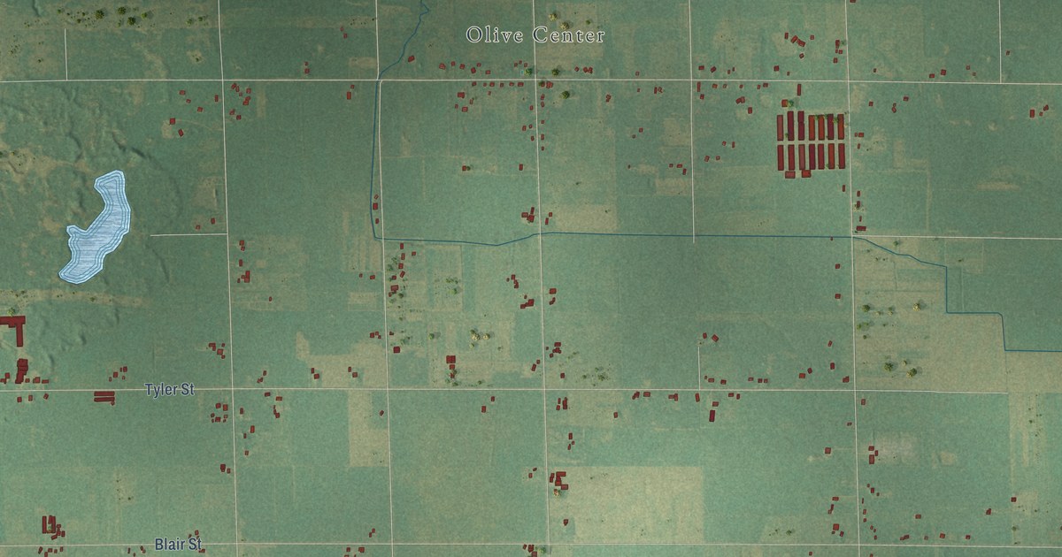
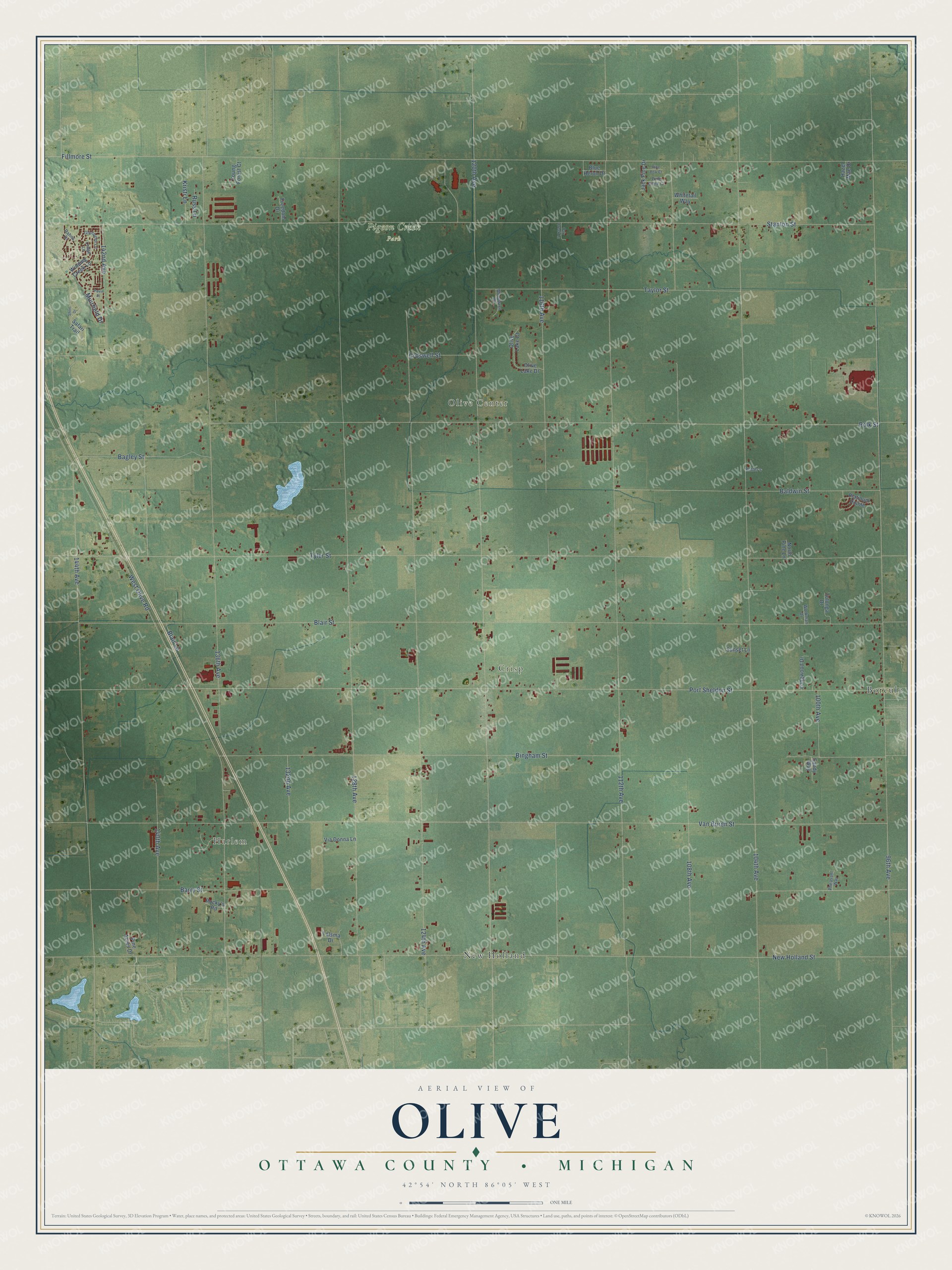
This beautifully detailed map of Olive, Michigan was created in 2026 using aerial imagery combined with modern topographical, census, street and landmark data. It's a modern aerial view of Olive in Ottawa County, Michigan, that combines modern data with a vintage aesthetic. The roads feature printed names, and if you look closely you can find your exact house accurately shown in its correct location.
Explore an aerial view of Olive, Michigan
On this map you'll find Harlem, Olive Center, Crisp, Pigeon Creek Park, Borculo, New Holland, 136th Avenue, Stanton Street, Fillmore Street, Blair Street, Port Sheldon Street, Van Buren Street, and more. Each red shape is a building, so zoom in on the preview and look for yours.
Every town has a first chapter, and Olive is no exception. The History of Ottawa County puts it this way: "The Grand Haven Railroad, now under the control of the Chicago & West Michigan R. R. Co., has a station at West Olive, and it has a post office of that name, although the place is inconsiderable. It was platted by R. M. Paget, in 1870, while Ottawa Station was platted by James Sawyer, in 1872."
The Census Bureau counted 5,007 people here in 2020.
Take a closer look at the Olive map
Names on this map
These names are printed on this map.
Places: Harlem, Olive Center, Crisp, Pigeon Creek Park, Borculo and New Holland.
Streets and roads: 136th Avenue, Stanton Street, Fillmore Street, Blair Street, Port Sheldon Street, Van Buren Street, 128th Avenue, New Holland Street, 104th Avenue, 112th Avenue, 96th Avenue, 120th Avenue.
More street names, A to Z
100th Avenue, 108th Avenue, 116th Avenue, 124th Avenue, 132nd Avenue, 140th Avenue, 142nd Avenue, 144th Avenue, Bagley Street, Baldwin Street, Barry Street, Bingham Street, Blair Lane, Blue Heron Drive, Croswell Street, Dahna Drive, Freedom Drive, Glenbrier Lane, Hazel Mae Drive, Jack Pine Drive, Kristi Lane, Ledge Lane, Longwood Drive, Muirfield Drive, North Pine Lane, Oak Creek Lane, Olive Lake Court, Olive Lake Drive, Pavin Place, Pheasant Way, Pine Acres Drive, Pine Bow Court, Pine Cone Court, Platinum Pointe, Polk Street, Potter's, Rocky's Road, Russ Lane, Safari Trail, Sandy Way, Short Drive, Sunset Lane, Talsma Drive, Taylor Street, Tolonga Drive, Tyler Street, Via Donna Lane, West Olive Road, Whitetail Way, Winding Creek Lane, Woodwren Drive, Workman Drive, Young Forest Court.
Created by KNOWOL in 2026. The buildings are small red shapes, the roads carry their printed names, and shaded relief shows the shape of the land. The title panel reads "AERIAL VIEW OF OLIVE, OTTAWA COUNTY • MICHIGAN" with 42°54' NORTH 86°05' WEST.
Hang it in the hallway, the office or the cabin, or give it to someone who left Olive and still calls it home. Open the preview and look for a street you know. See sizes and frames for the Olive, Ottawa County map.