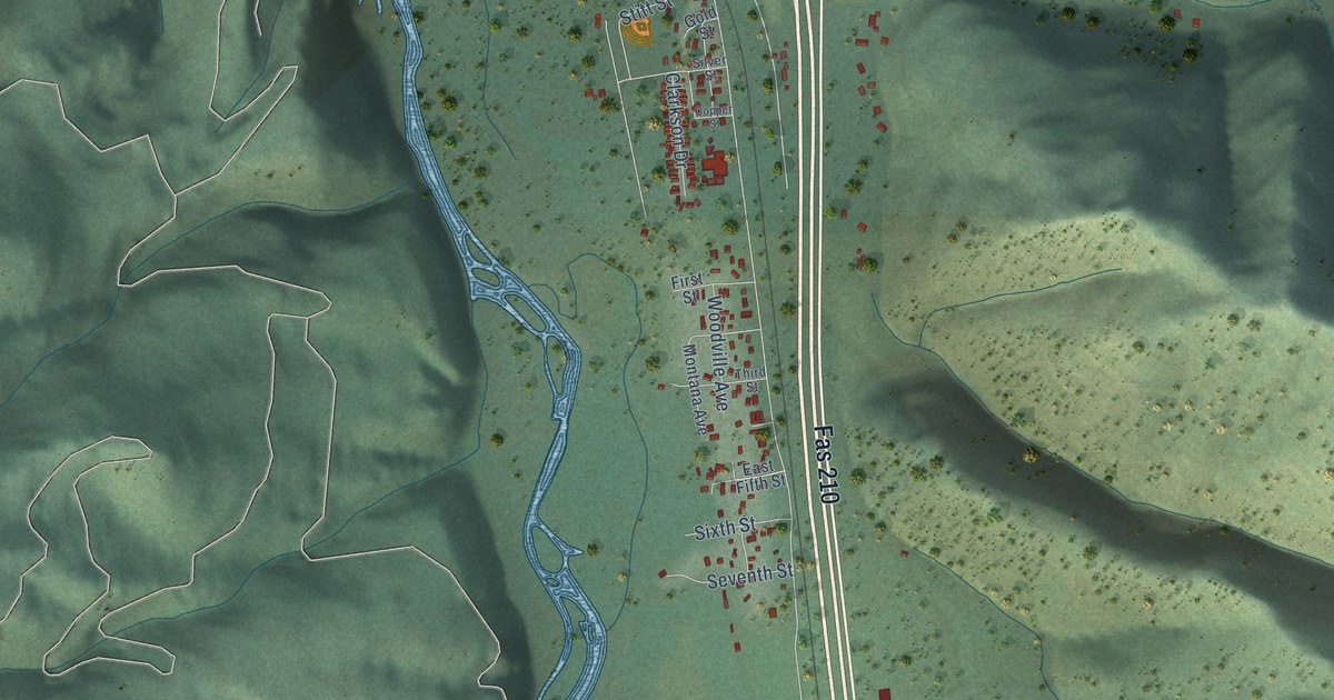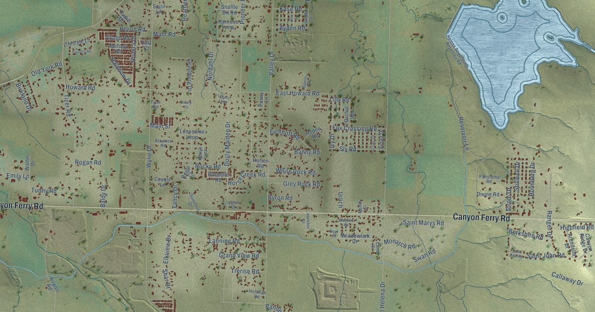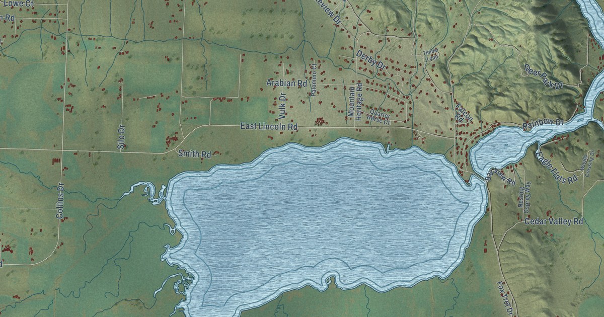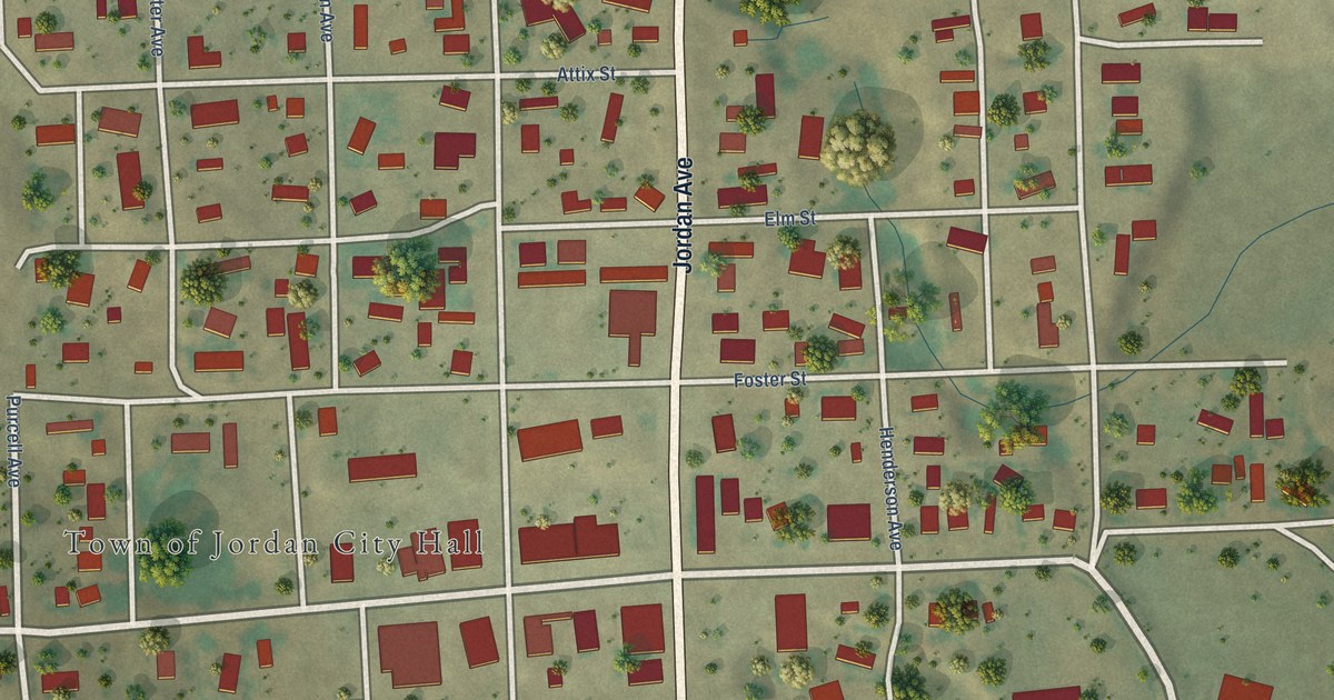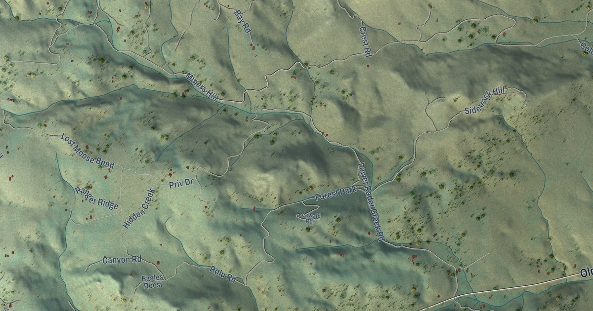
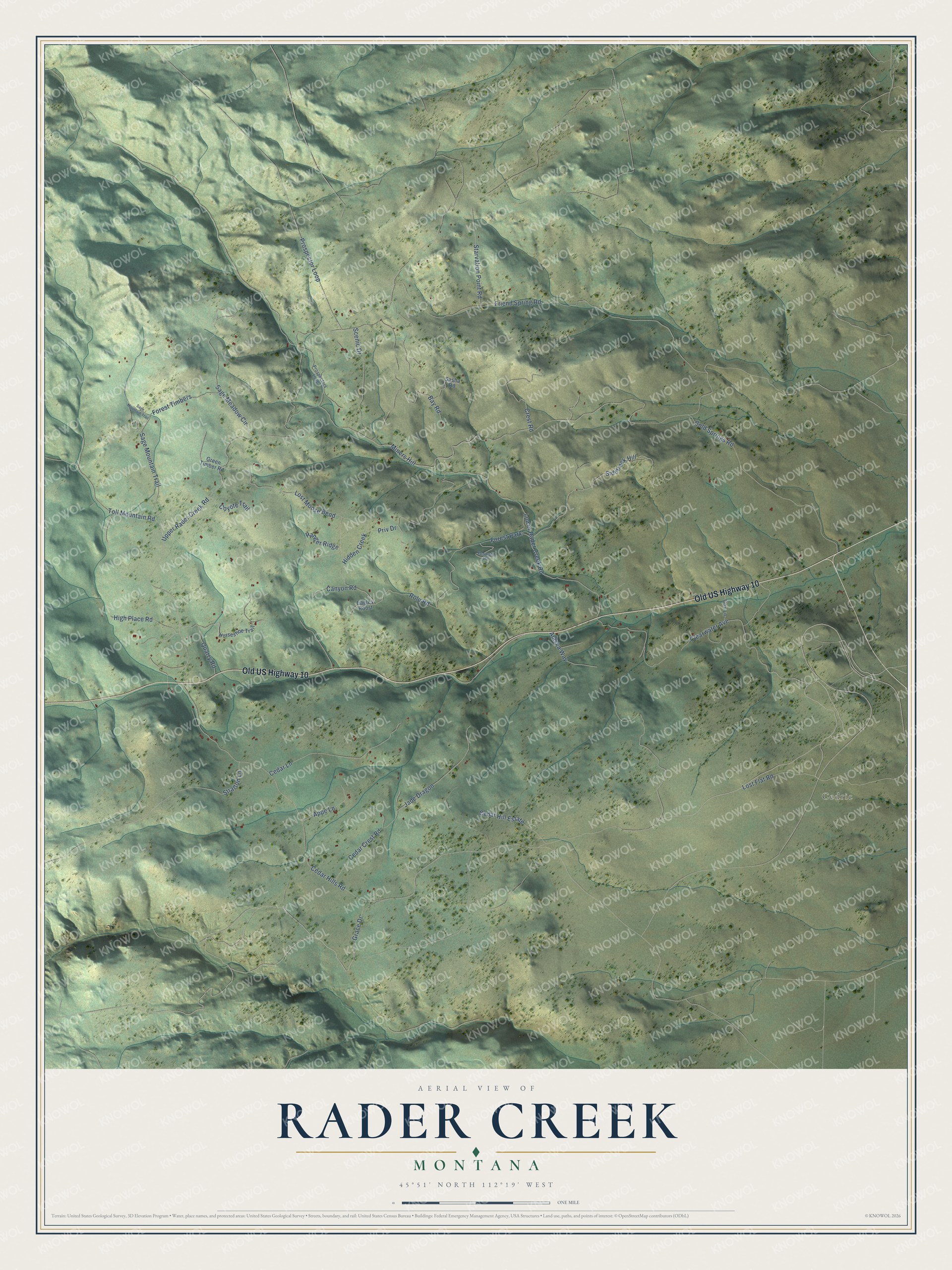
This beautifully detailed map of Rader Creek, Montana was created in 2026 using aerial imagery combined with modern topographical, census, street and landmark data. It’s a one-of-a-kind view of Rader Creek that combines accurate data with a vintage aesthetic. The map shows every building in its true location, many of the roads carry their names, and the shaded topographic relief shows the shape of the land.
Explore an aerial view of Rader Creek, Montana
On the map you’ll find Cedric, Miners Hill, and Lost Moose Bend, along with Old US Highway 10, Grace Drive, Quarry Road, Lower Rader Creek Road, Sage Meadow Circle, Friend Spring Road, Cedar Hills Road, Upper Rader Creek Road, Toll Mountain Road, and more. If you look closely you can even find your house accurately drawn in its correct location. Zoom in on the preview to look for yours.
Did You Know?
In 1950 a Northwest gem guide called Jefferson County, east of Butte, one of the most noted amethyst producing areas in America, and it put the best amethyst deposits on the west fork of Rader Creek. Commercial amethyst mining had gone on there for years, turning up very large specimen groups and gem quality crystals. That's from the Northwest Gem Trails field guide.
Take a closer look at the Rader Creek map
Names on this map
These names are printed on this map.
Places: Cedric and Forest Park.
Streets and roads: Old US Highway 10, Grace Drive, Quarry Road, Miners Hill, Lower Rader Creek Road, Sage Meadow Circle, Lost Moose Bend, Friend Spring Road, Cedar Hills Road, Upper Rader Creek Road, Toll Mountain Road, Rolu Road.
More street names, A to Z
Alaska Way, Appe Lane, Bay Road, Canyon Road, Cedar Crest Road, Cedar Hill Estate, Cedar Lane, Clearwater Avenue, Cold Springs Road, Cox Lane, Coyote Trail, Crest Road, Eagles Roost, Feswald Road, Forest Timbers, Green Timber Road, Hidden Creek, High Place Road, Horseshoe Trail, Jade Dragon, Lost Flat Road, Priv Drive, Prospector Loop, Prospectors Loop, Ranger Ridge, Sage Mountain Trail, Sasha Road, Scenic Drive, Sidetrack Hill, Starvation Point Road, Stratton Lane.
See it on a wall
The Rader Creek map as a framed print. Swipe for more.


This beautifully detailed map of Rader Creek makes an attractive addition to your office, library, or den, and it can even be used to teach children the geography and history of the area. It also makes a great gift for anyone who grew up in Rader Creek or moved away. When you’re done exploring, click here to get your copy of the Rader Creek map.