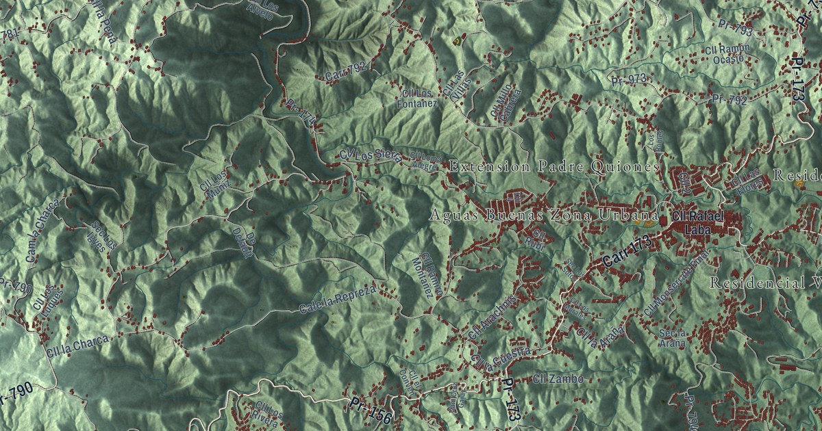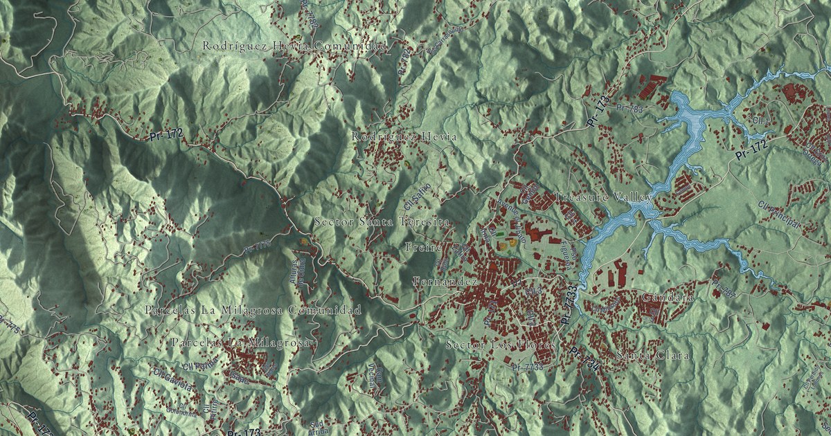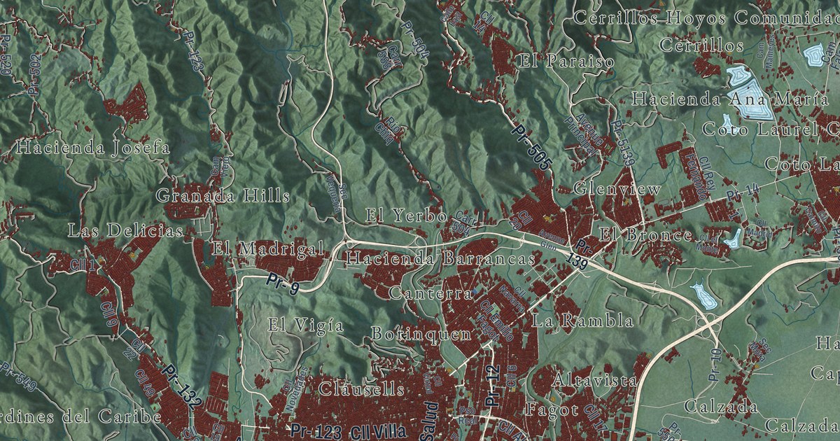
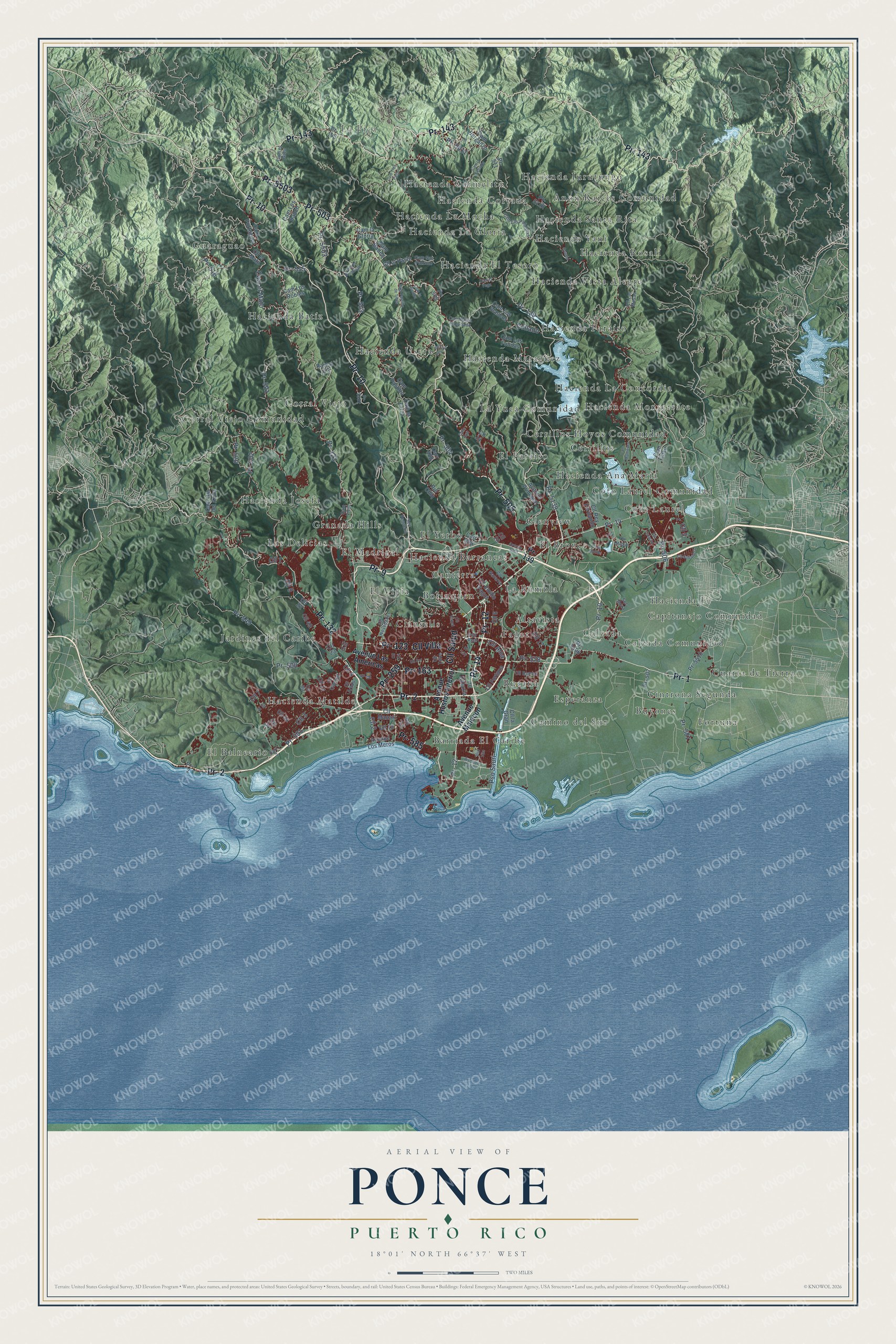
This beautifully detailed map of Ponce, Puerto Rico was created in 2026 using aerial imagery combined with modern topographical, census, street and landmark data. It's a modern aerial view of the municipio of Ponce, Puerto Rico, that combines modern data with a vintage aesthetic. The roads feature printed names, and if you look closely you can find your exact house accurately shown in its correct location.
Explore an aerial view of Ponce, Puerto Rico
On this map you'll find La Pica, Altavista, Anon Raices Comunidad, Barriada El Caribe, Borinquen, Bucaná, Buyones, Calzada, Calzada Comunidad, Camino del Sur, Canterra, Capitanejo Comunidad, and more. Each red shape is a building, so zoom in on the preview and look for yours.
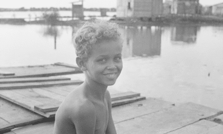
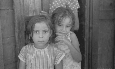
Every town has a first chapter, and Ponce is no exception. The 1940 WPA Guide to Puerto Rico puts it this way: "Whereas most Puerto Rican cities have one central plaza, Ponce has two, separated by a broad esplanade leading to the Cathedral."
Ponce is one of the 78 municipios of Puerto Rico. The Census Bureau counted 137,491 people here in 2020.
Take a closer look at the Ponce map
Names on this map
These names are printed on this map.
Places: La Pica, Altavista, Anon Raices Comunidad, Barriada El Caribe, Borinquen, Bucaná, Buyones, Calzada, Calzada Comunidad, Camino del Sur, Canterra, Capitanejo Comunidad, Cerrillos, Cerrillos Hoyos Comunidad, Cintrona Segunda, Clausells, Corral Viejo, Corral Viejo Comunidad, Coto Laurel, Coto Laurel Comunidad, Cuarta de Tierra, El Balneario, El Bronce, El Madrigal, El Paraiso, El Vigía, El Yerbo, Esperanza, Fagot, Fortuna, Glenview, Granada Hills, Guaraguao, Hacienda Ana María, Hacienda Barrancas, Hacienda Batíz, Hacienda Carmelita, Hacienda Cortada, Hacienda El Tesoro, Hacienda Fé, Hacienda Josefa, Hacienda Jurutungo, Hacienda La Concordia, Hacienda La Gloria, Hacienda La Mocha, Hacienda Maragüez, Hacienda Matilde, Hacienda Monserrate, Hacienda Paraíso, Hacienda Rosalí, Hacienda Santa Rita, Hacienda Usera, Hacienda Vista Alegre, Hacienda Yani, Jardines del Caribe, La Rambla, La Yuca Comunidad and Las Delicias.
Streets and roads: Pr- 10, Pr- 123, Pr- 143, Pr- 1, Pr- 14, Pr- 9, Pr- 12, Pr- 2, Pr- 505, Pr- 503, Pr- 5503, Cll Salud.
More street names, A to Z
Avenue Caribe, Avenue Glen, Avenue Hostos Interior, Avenue Las Americas, Avenue Los Meros, Avenue Malecon, Avenue Principal, Calle East, Cam Badea, Cam Berganzo, Cam el Gato, Cam el Mato, Cam el Principe, Cam Falso, Cam Hacia el Collado, Cam la Bomba, Cam la Gloria, Cam la Roblada, Cam Las Fondas, Cam Las Palmeras, Cam la Vega, Cam la Zarza, Cam Los Banch, Cam Los Blancos, Cam Los Robles, Cam Mameyes, Cam Ojo del Aqua, Cam Pastillo, Cam Pastillo de Tibes, Cam Portuguez, Cam San Patricio, Cam Tres Palos, Cam Viejo, Carr 2, Carr 504, Carr 588, Cll 1, Cll 2, Cll 3, Cll 4, Cll 5, Cll 6, Cll 7, Cll 8, Cll 9, Cll 11, Cll 13, Cll 14, Cll 17, Cll 18, Cll 19, Cll 20, Cll 22, Cll 23, Cll 25, Cll 34, Cll 49, Cll Aloa, Cll Arado, Cll Bambú, Cll Birr, Cll C4, Cll Caimito, Cll el Mato, Cll el Monte, Cll el Pasto, Cll Emilio Fagot, Cll Fortuna, Cll Galaxia, Cll la Gran, Cll Las Mesas, Cll Madrid, Cll Manati, Cll Navarra, Cll Novedades, Cll Quetzal, Cll Rey Fernando, Cll Sabanera, Cll Sur, Cll Torre, Cll Villa, Cll Virtud, Collado, Desvio, Pr- 132, Pr- 133, Pr- 139, Pr- 163, Pr- 259, Pr- 500, Pr- 501, Pr- 502, Pr- 504, Pr- 506, Pr- 507, Pr- 511, Pr- 515, Pr- 516, Pr- 520, Pr- 549, Pr- 578, Pr- 581, Pr- 585, Pr- 591, Pr- 5011, Pr- 5139, Pr- 5502, Pr- 5506, Pr- 5510, Pso del Rio, Pso Real, Pso Sauri, Pso Vila, Ramal 123, Rio Chiq, Sec Mora, Sec Vequeria.
Created by KNOWOL in 2026. The buildings are small red shapes, the roads carry their printed names, and shaded relief shows the shape of the land. The title panel reads "AERIAL VIEW OF PONCE, PUERTO RICO" with 18°01' NORTH 66°37' WEST.
Hang it in the hallway, the office or the cabin, or give it to someone who left Ponce and still calls it home. Open the preview and look for a street you know. See sizes and frames for the Ponce map.