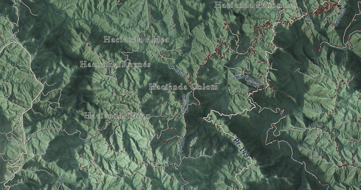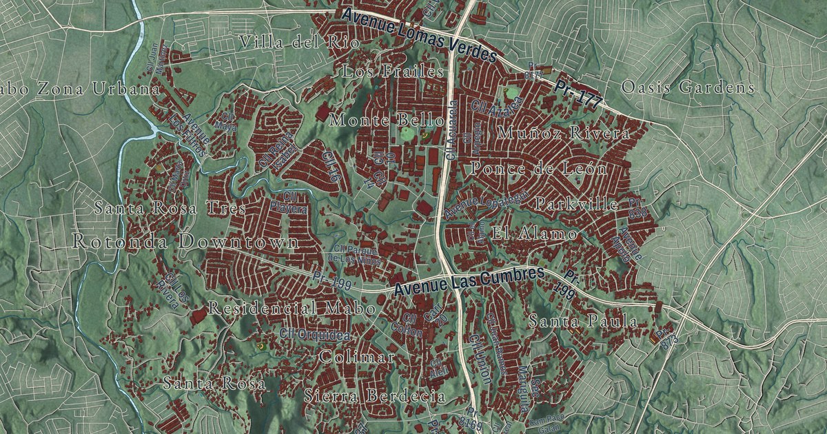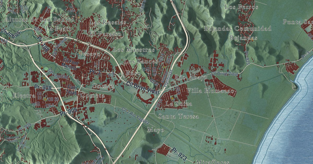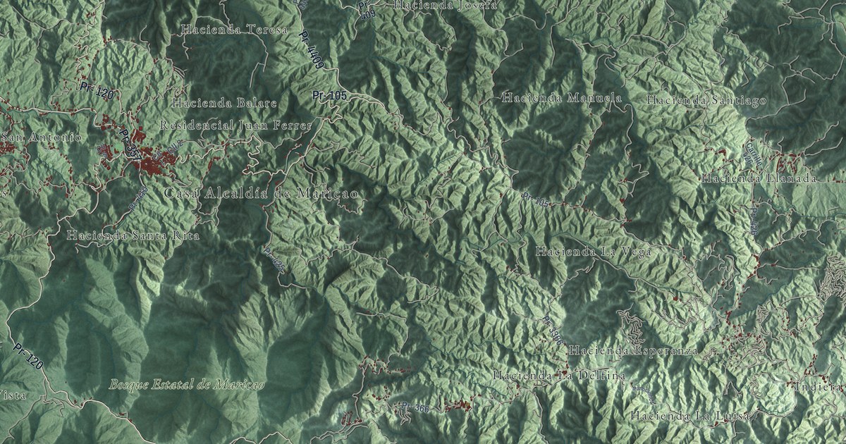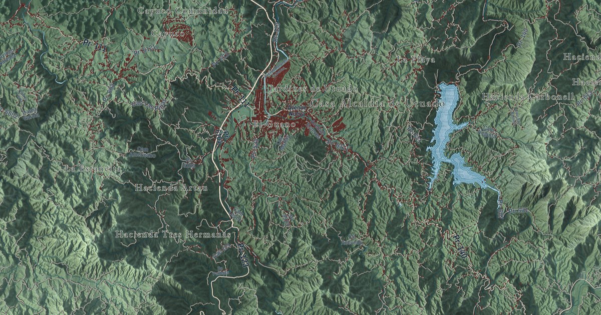
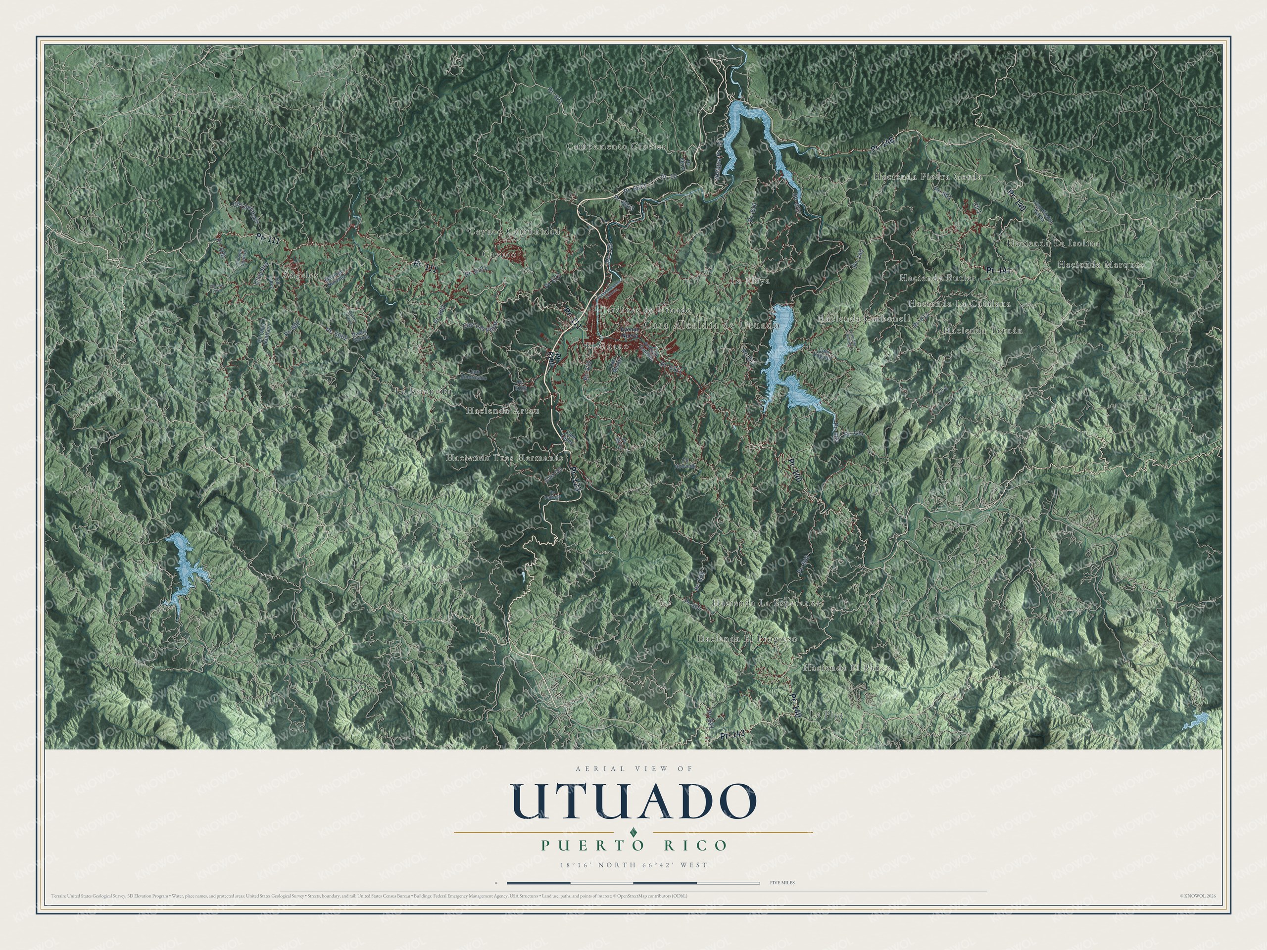
This beautifully detailed map of Utuado, Puerto Rico was created in 2026 using aerial imagery combined with modern topographical, census, street and landmark data. It's a modern aerial view of the municipio of Utuado, Puerto Rico, that combines modern data with a vintage aesthetic. The roads feature printed names, and if you look closely you can find your exact house accurately shown in its correct location.
Explore an aerial view of Utuado, Puerto Rico
On this map you'll find Casa Alcaldía de Utuado, Campamento Crozier, Cayuco, Cayuco Comunidad, El Guano, Hacienda Artau, Hacienda Butler, Hacienda Carbonell, Hacienda El Banco, Hacienda El Progreso, Hacienda La Catalana, Hacienda La Esperanza, and more. Each red shape is a building, so zoom in on the preview and look for yours.
Here is a piece of Utuado history, in the words of the record. The record at topuertorico.org puts it this way: "For history and culture, Utuado is especially significant for its Taíno heritage."
Utuado is one of the 78 municipios of Puerto Rico. The Census Bureau counted 28,287 people here in 2020.
Take a closer look at the Utuado map
Names on this map
These names are printed on this map.
Places: Casa Alcaldía de Utuado, Campamento Crozier, Cayuco, Cayuco Comunidad, El Guano, Hacienda Artau, Hacienda Butler, Hacienda Carbonell, Hacienda El Banco, Hacienda El Progreso, Hacienda La Catalana, Hacienda La Esperanza, Hacienda La Isolina, Hacienda Marqués, Hacienda Piedra Gorda, Hacienda Tetuán, Hacienda Tres Hermanas, Jardines de Utuado, La Estancita, La Pica, La Playa and Ángeles.
Streets and roads: Pr- 123, Pr- 146, Pr- 111, Pr- 140, Pr- 141, Pr- 143, Pr- 621, Antigua Pr- 10, Pr- 6111, Pr- 10, Pr- 6621, Pr- 523.
More street names, A to Z
Avenue Esteves, Avenue Nueva, Avenue Rolando Cabanas, Bo Pellejas, Cam Americano, Cam en Tierra, Cam López, Cam Piedra Gorda, Cam San Gabriel, Cam Veguita, Carr 123, Carr Las Piñas, Cll 1, Cll 8, Cll Acevedo, Cll Cheo Santiago, Cll Juan Perez, Cll la Pra, Cll Las Lozas, Cll Lopez, Cll Pepe Cordero, Dasne Garcia, Las Marias, Mayingo Narvaez, Pr- 521, Pr- 524, Pr- 531, Pr- 600, Pr- 601, Pr- 602, Pr- 603, Pr- 605, Pr- 606, Pr- 607, Pr- 610, Pr- 611, Pr- 612, Pr- 613, Pr- 622, Pr- 5523, Pr- 6103, Pr- 6104, Pr- 6121, Pr- 6602, Pr- 6612, Pr- 6613.
Created by KNOWOL in 2026. The buildings are small red shapes, the roads carry their printed names, and shaded relief shows the shape of the land. The title panel reads "AERIAL VIEW OF UTUADO, PUERTO RICO" with 18°16' NORTH 66°42' WEST.
It suits a den, a classroom or a front hall, and it makes a gift for anyone with Utuado roots. Open the preview and find the block you know. See sizes and frames for the Utuado map.