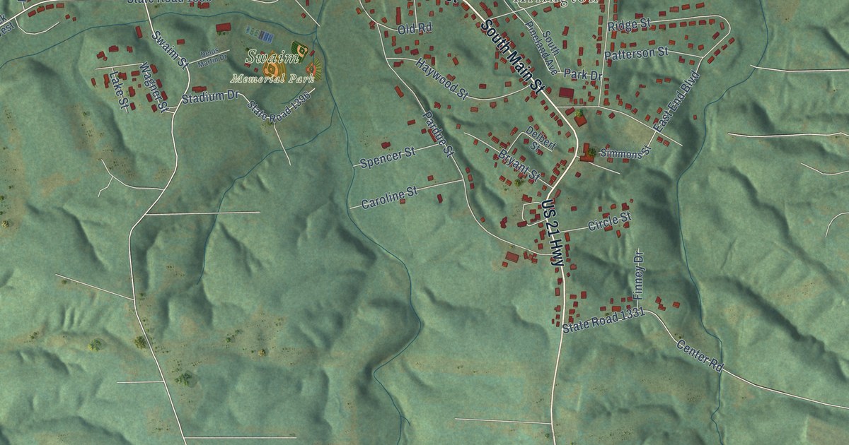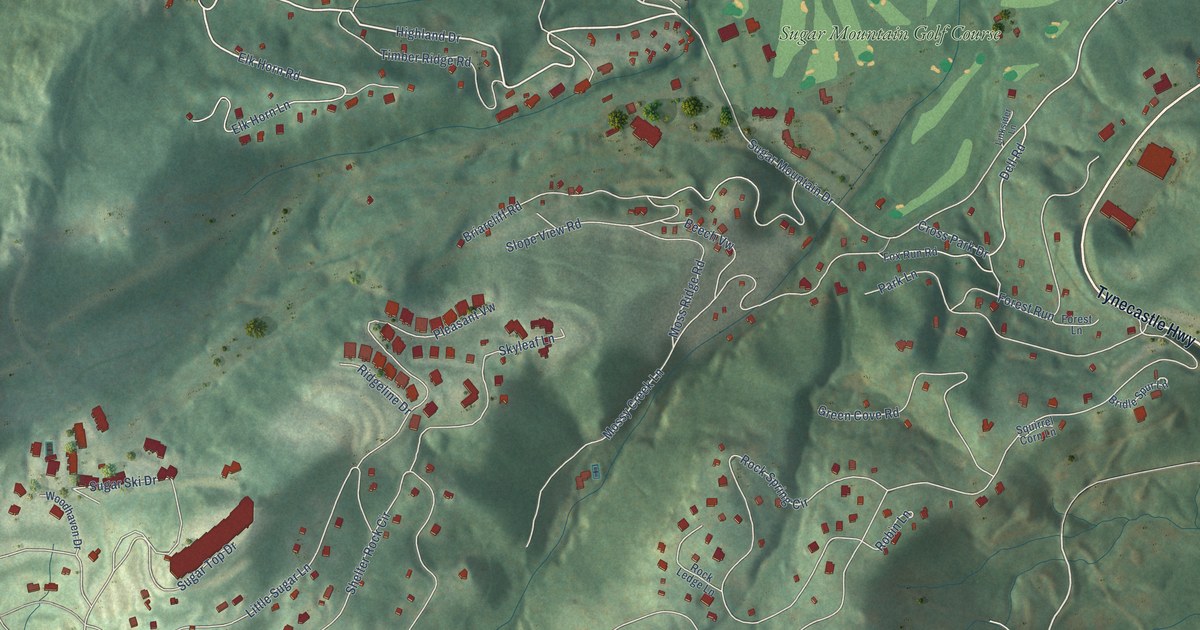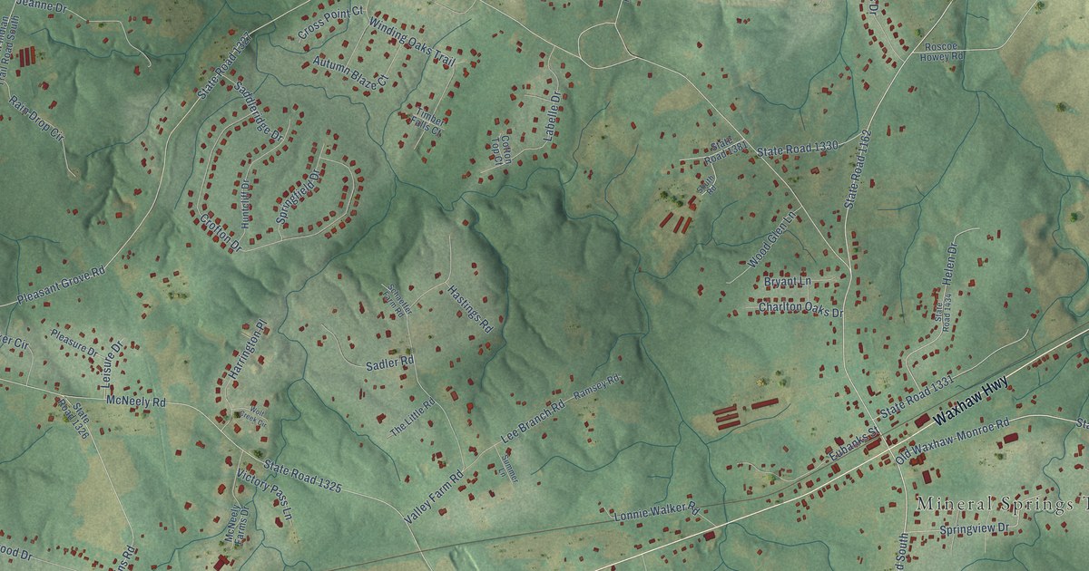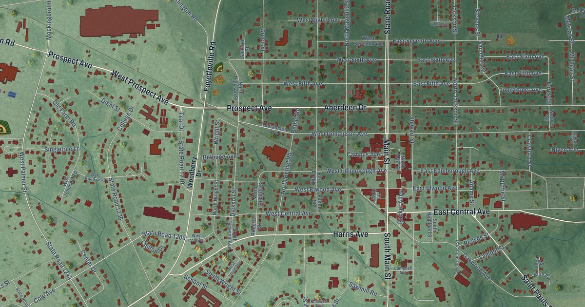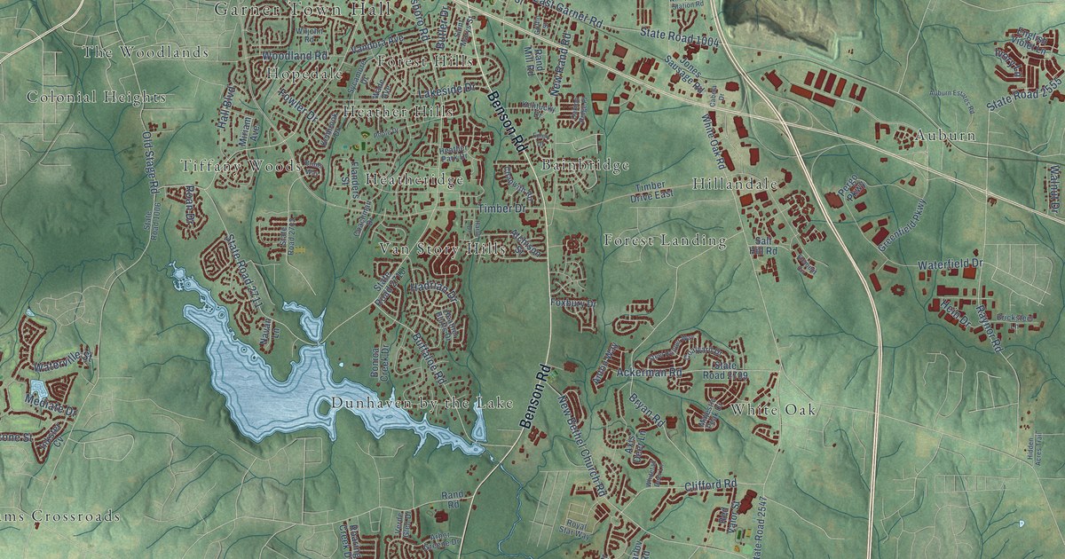
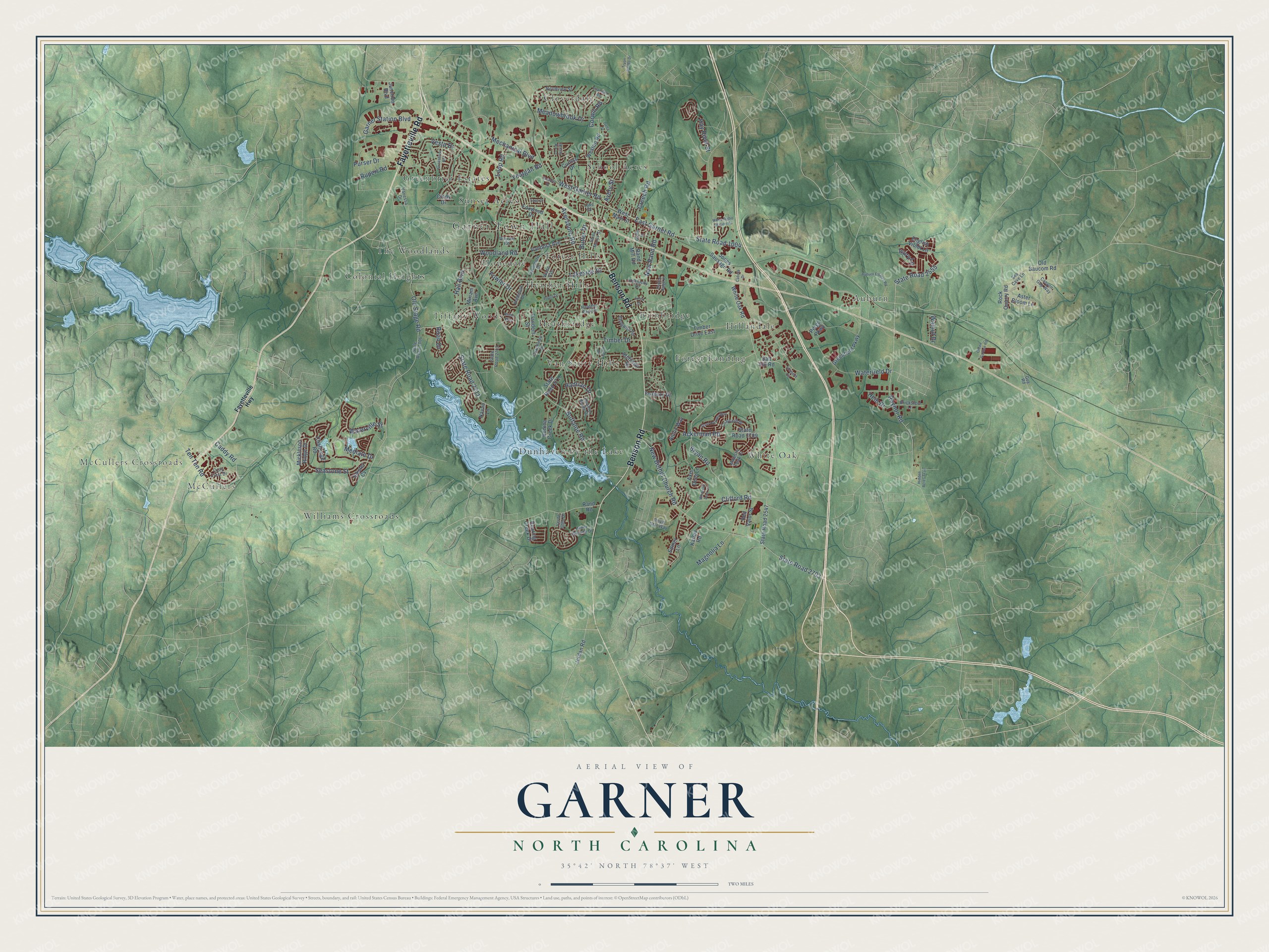
This beautifully detailed map of Garner, North Carolina was created in 2026 using aerial imagery combined with modern topographical, census, street and landmark data. It's a modern aerial view of Garner in Wake County, North Carolina, that combines modern data with a vintage aesthetic. The roads feature printed names, and if you look closely you can find your exact house accurately shown in its correct location.
Explore an aerial view of Garner, North Carolina
On this map you'll find Garner Town Hall, McCullers Crossroads, McCullers, Auburn, Bainbridge, Cloverdale, Colonial Heights, Dunhaven by the Lake, Forest Hills, Forest Landing, Greenbrier Estates, Heather Hills, and more. Each red shape is a building, so zoom in on the preview and look for yours.
Garner has a story worth telling. The record at dncr.nc.gov puts it this way: "In 1929, the Assembly appropriated more funds to move the school for African American blind and deaf students to Garner Road."
Garner is a town in Wake County. The Census Bureau counted 31,159 people here in 2020.
Take a closer look at the Garner map
Names on this map
These names are printed on this map.
Places: Garner Town Hall, McCullers Crossroads, McCullers, Auburn, Bainbridge, Cloverdale, Colonial Heights, Dunhaven by the Lake, Forest Hills, Forest Landing, Greenbrier Estates, Heather Hills, Heatheridge, Hillandale, Hopedale, School Acres, Sunset Acres, The Woodlands, Tiffany Woods, Van Story Hills, White Oak and Williams Crossroads.
Streets and roads: Benson Road, Fayetteville Road, Timber Drive, State Road 2711, State Road 1004, New Bethel Church Road, State Road 2703, Aversboro Road, Buffaloe Road, West Garner Road, State Road 2555, East Garner Road.
More street names, A to Z
Ackerman Road, Anton Way, Arbor Greene Drive, Aster Bloom Lane, Atchison Street, Auburn Estates Road, Avery Street, Axis Deer Lane, Bobbitt Drive, Bonica Creek Drive, Bricksteel Lane, Brims Way, Bryan Road, Butler Drive, Cabela Drive, Caddy Road, Canyon Gap Way, Challenge Road, Chapwith Road, Cindy Drive, Clifford Road, Coachman Drive, Coalyard Drive, Corwin Road, Cozy Crest Drive, Cranston Road, Creech Road, Curtiss Drive, Delta Street, Edmer Lane, Element Circle, English Violet Lane, Faye Drive, Fayetteville Highway, Flanders Street, Foley Drive, Fowler Drive, Foxbury Drive, Foxwood Drive, Garner Station Boulevard, Grassy Rio Lane, Greenbrier Road, Greenfield Parkway, Green Garden Road, Griffin Street, Guy Road, Hadrian Drive, Hall Boulevard, Harth Drive, Hay River Street, Heather Bluffs Drive, Heather Park Drive, Hein Drive, Hidden Acres Trail, Inkster Cv, Ivory Lane, Jones Sausage Road, Jordan Road, Junction Boulevard, Karlov Road, Kenbrook Drive, Kentucky Drive, Lake Drive, Lakeside Drive, Loop Road, Magnolia Lane, Majestic Peak Drive, Meadowbrook Drive, Mechanical Boulevard, Mediate Drive, Mickleson Ridge Drive, Miriam Avenue, Navan Lane, New Rand Road, Northview Street, Oakton Ridge Place, Old Baucom Road, Old Stage Road, Pergo Parkway, Poole Drive, Purser Drive, Rand Mill Road, Rand Road, Raynor Road, Red Valor Street, Roan Drive, Roaring Creek Drive, Rock Quarry Road, Royal Star Way, Rupert Road, Saint Marys Street, Salt Hill Road, Sea Cave Lane, Seastone Street, State Road 1006, State Road 2547, State Road 2709, State Road 2710, State Road 2712, Steel Hopper Way, Sycamore Drive, Ten Ten Road, Timber Drive East, Tryon Pointe Drive, Vandora Avenue, Vanessa Drive, Verde Glen Drive, Vesta Drive, Wade Avenue, Walnut Drive, Waterfield Drive, Waterville Street, West Main Street, Weston Road, White Oak Road, Whitetail Deer Lane, Wiljohn Road, Wkbq Radio Station Road, Woodland Road, Yeargan Road.
Created by KNOWOL in 2026. The buildings are small red shapes, the roads carry their printed names, and shaded relief shows the shape of the land. The title panel reads "AERIAL VIEW OF GARNER NORTH CAROLINA" with 35°42' NORTH 78°37' WEST.
It looks right in a kitchen, an office or a den, and it's a gift for anyone who grew up in Garner or moved away. Open the preview and find your street. See sizes and frames for the Garner map.