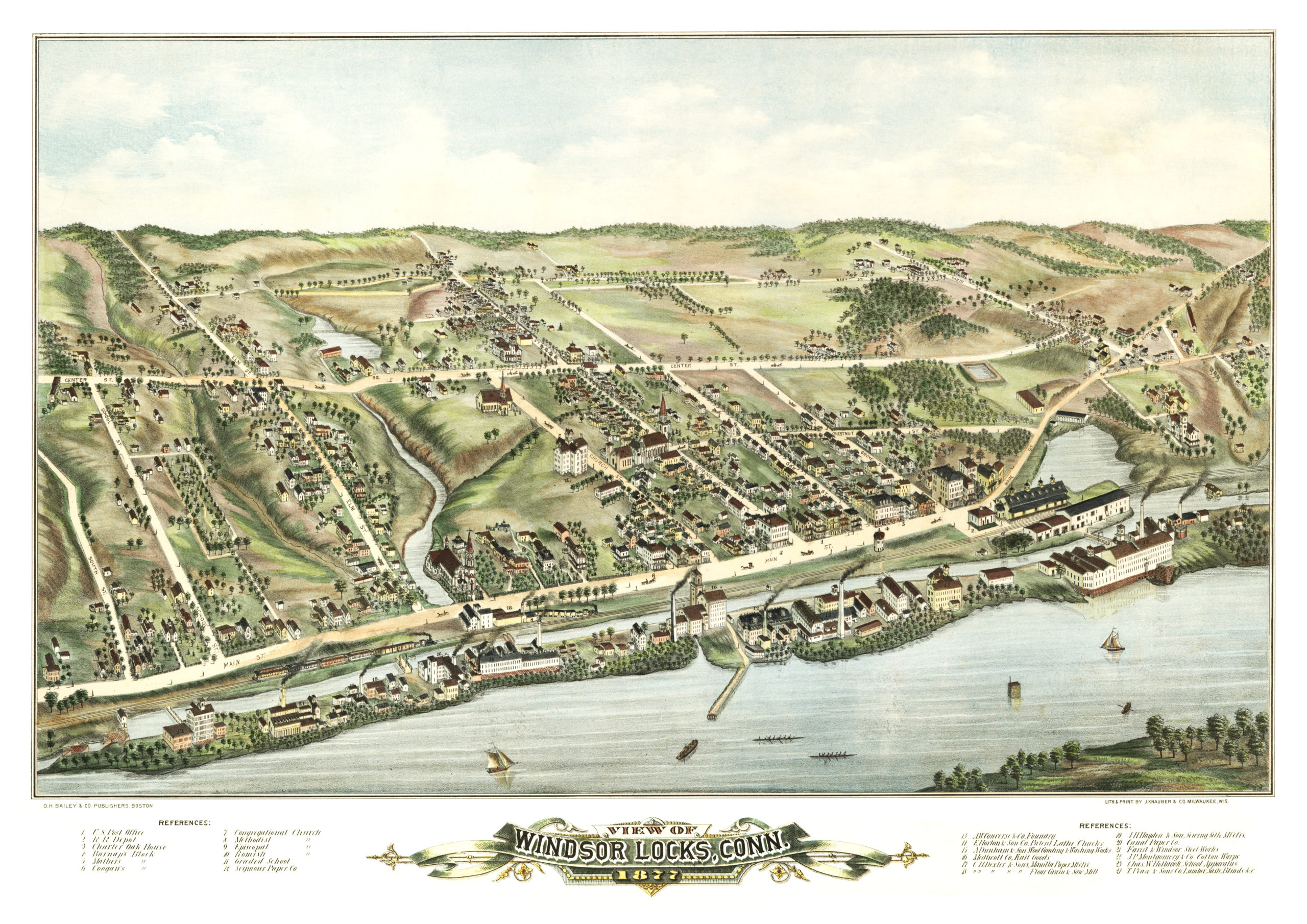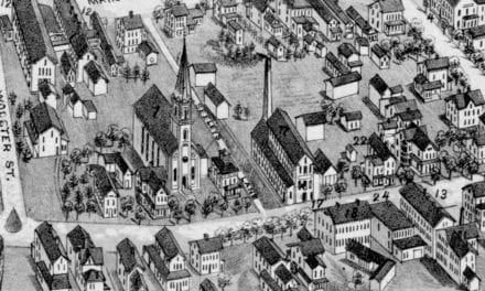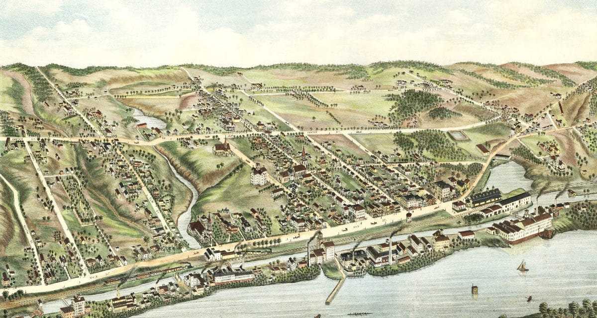
This map from 1877 shows Windsor Locks, Connecticut and the surrounding area. The map was illustrated by J. Knauber & Co., printed by O.H. Bailey & Co., and restored by KNOWOL. High quality reproductions are available here.
The map includes Windsor Locks landmarks such as the Charter Oak House, Burnap’s Block, Mather’s Block, Coogan’s Block, Seymour Paper Company and more.
Click here to see a high resolution scan of the map.