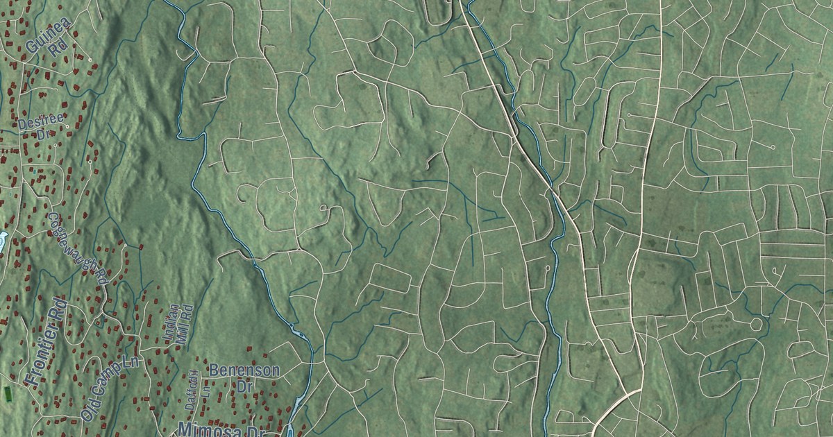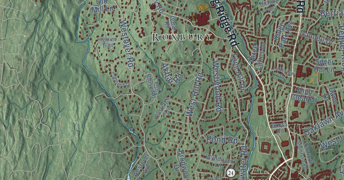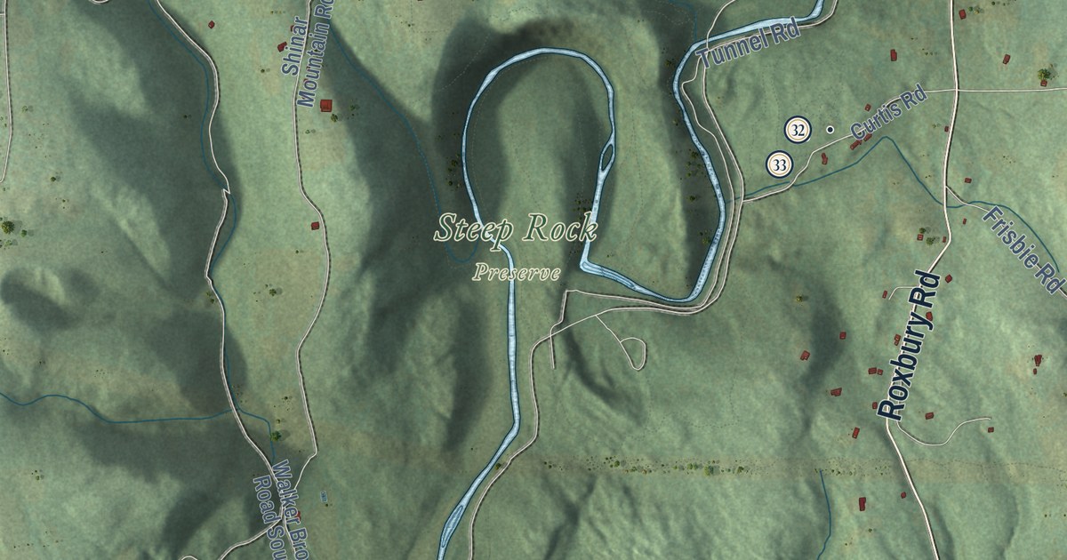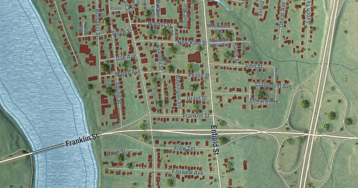
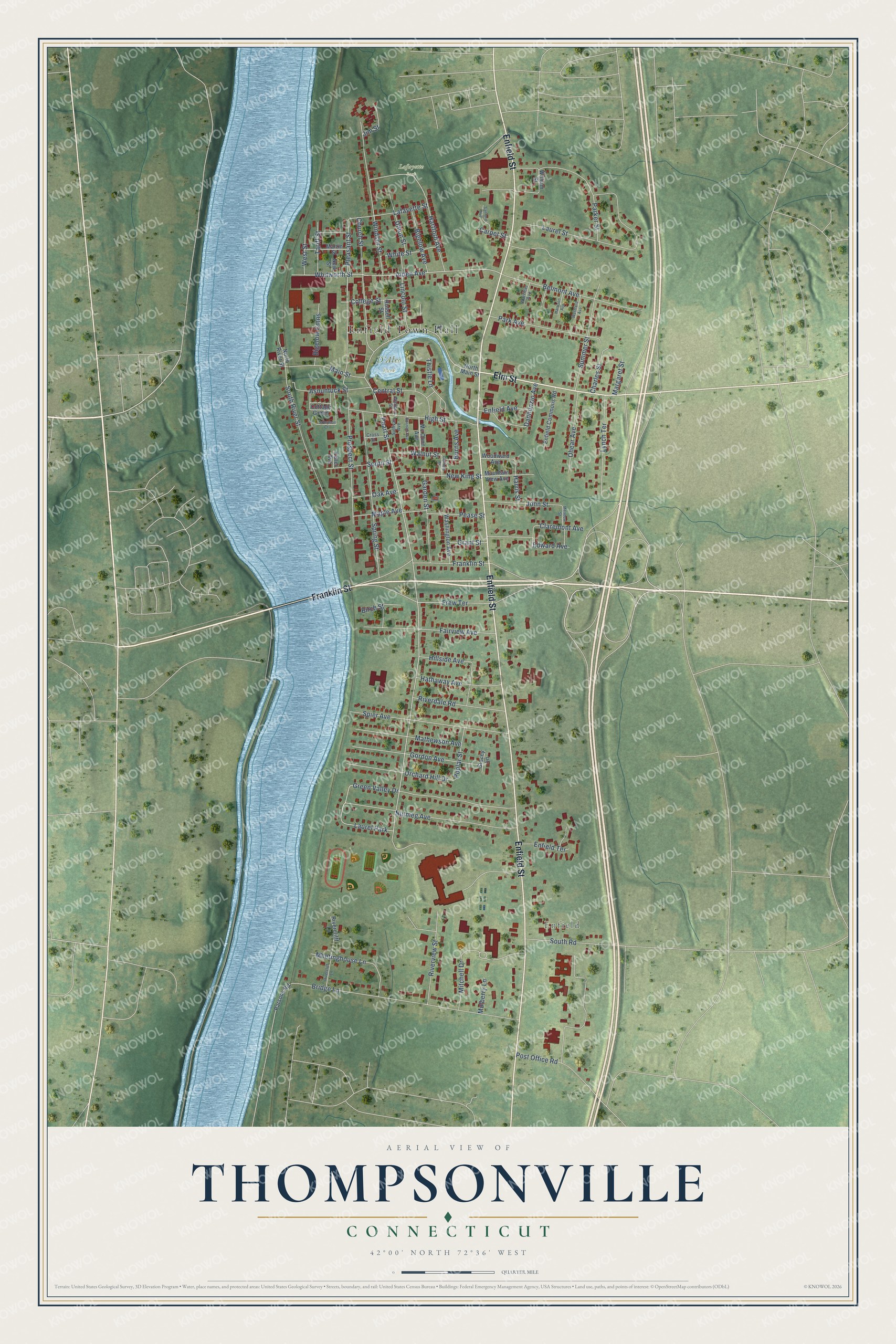
This beautifully detailed map of Thompsonville, Connecticut was created in 2026 using aerial imagery combined with modern topographical, census, street and landmark data. It's a modern aerial view of Thompsonville in Capitol Planning Region, Connecticut, that combines modern data with a vintage aesthetic. The roads feature printed names, and if you look closely you can find your exact house accurately shown in its correct location.
Explore an aerial view of Thompsonville, Connecticut
On this map you'll find Enfield Town Hall, Enfield, Lafayette Park, D'Aleo Park, Enfield Street, Elm Street, Franklin Street, Pearl Street, Laurel Park, Alden Avenue, Whitworth Street, Pleasant Street, and more. Each red shape is a building, so zoom in on the preview and look for yours.
Thompsonville is a community in Capitol Planning Region. The Census Bureau counted 8,514 people here in 2020. The map prints the town name in its title panel, with the coordinates below it.
Take a closer look at the Thompsonville map
Names on this map
These names are printed on this map.
Places: Enfield Town Hall, Enfield, Lafayette Park, D'Aleo Park and Laurel Park.
Streets and roads: Enfield Street, Elm Street, Franklin Street, Pearl Street, Alden Avenue, Whitworth Street, Pleasant Street, Frew Terrace, Mitchell Drive, Edward Avenue, Bridge Lane, Laurel Street.
More street names, A to Z
Asnuntuck Street, Belmont Avenue, Bigelow Avenue, Bigelow Cmns, Birch Street, Burns Avenue, Carpet Street, Central Street, Charles Street, Church Street, Claremont Avenue, College Street, Cottage Green, Cross Street, Dannunzio Avenue, Enfield Avenue, Enfield Commons Road, Enfield Terrace, Fairview Avenue, Garden Street, Garfield Street, Gordon Avenue, Gorman Avenue, Grant Street, Green Valley Drive, Harrison Avenue, Harris Street, Hartford Avenue, Hathaway Avenue, High Street, Hillside Avenue, Jim Street, John Street, Keller Avenue, Lafayette Street, Lincoln Street, Lynch Terrace, Main Street, Maple Avenue, Margaret Street, Martin Street, Mathewson Avenue, Mc Conn Avenue, Meadow Street, Meetinghouse Lane, Mountain View Avenue, Mulberry Lane, New King Street, New Street, North Main Street, North River Street, Nutmeg Avenue, Oak Avenue, Ohear Avenue, Orchard Hill Drive, Park Avenue, Parker Street, Parsons Road, Pease Street, Poplar Street, Post Office Road, Prospect Street, Riverclifff Lane, Rivercliff Lane, Riverdale Road, Riverview Street, Russell Street, Sanford Avenue, South River Street, South Road, South Street, Spier Avenue, Spring Street, Stacey Lane, Sullivan Avenue, Summer Street, Tariff Street, Thistle Lane, Thompson Court, Union Street, Wallace Street, Walnut Street, Warriner Avenue, Washington Avenue, Westford Avenue, West Street, White Street, William Street, Windsor Street, Woodward Avenue.
See it on a wall
The Thompsonville map as a framed print. Swipe for more.


Created by KNOWOL in 2026. The buildings are small red shapes, the roads carry their printed names, and shaded relief shows the shape of the land. The title panel reads "AERIAL VIEW OF THOMPSONVILLE, CONNECTICUT" with 42°00' NORTH 72°36' WEST.
It suits a den, a classroom or a front hall, and it makes a gift for anyone with Thompsonville roots. Open the preview and find the block you know. See sizes and frames for the Thompsonville map.