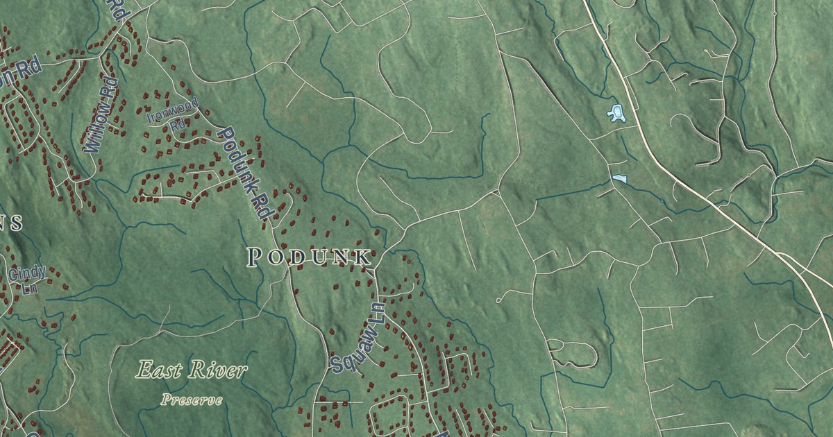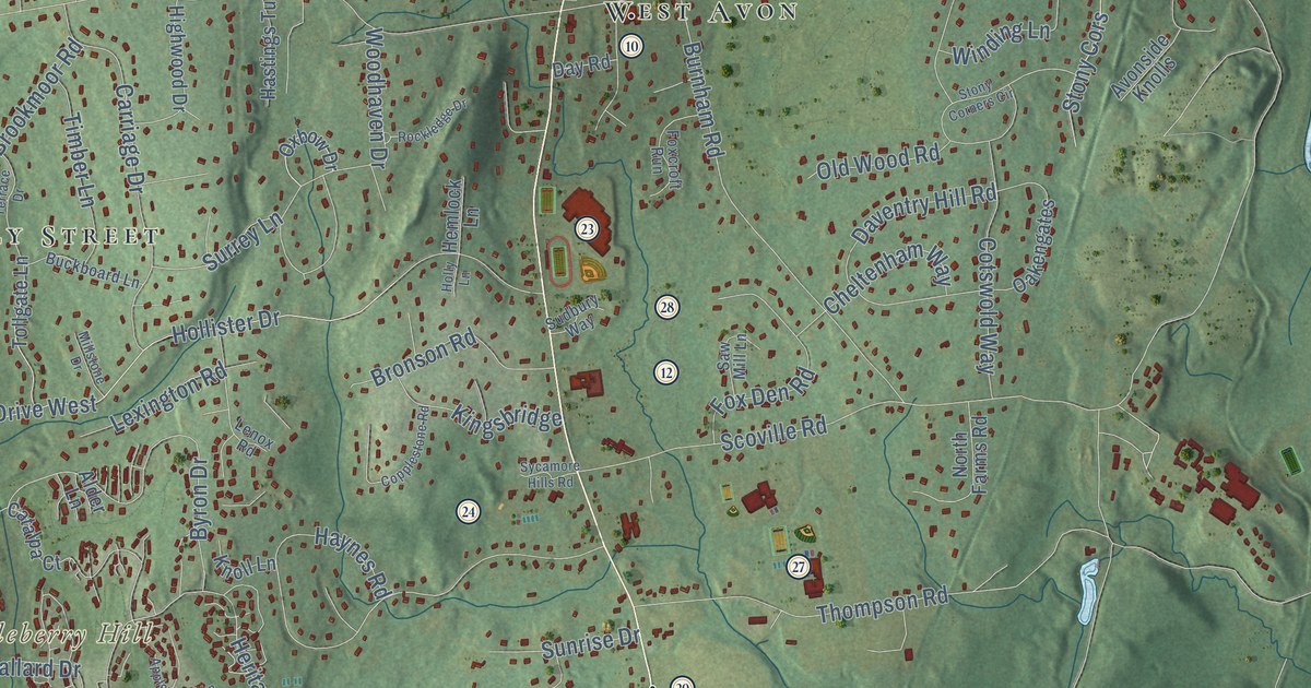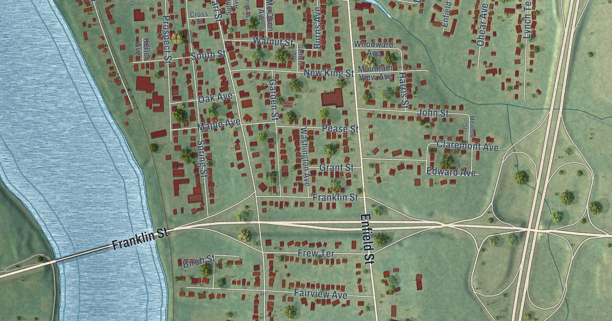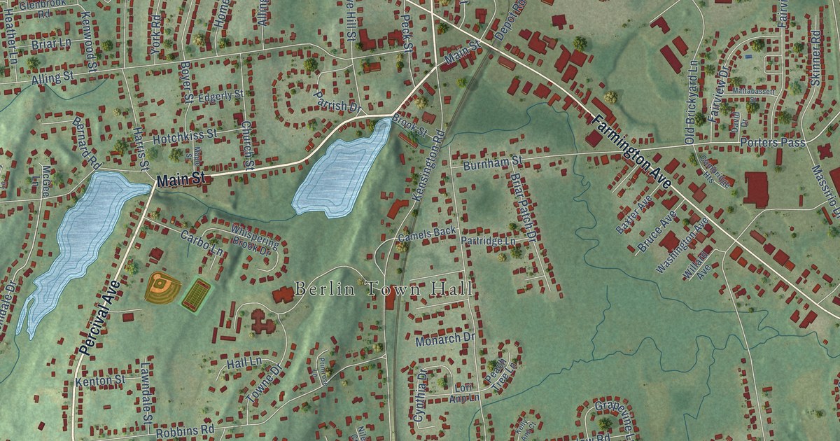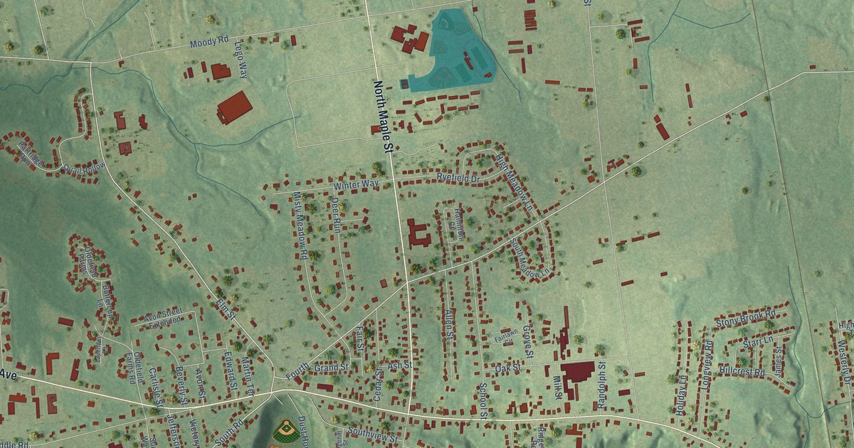
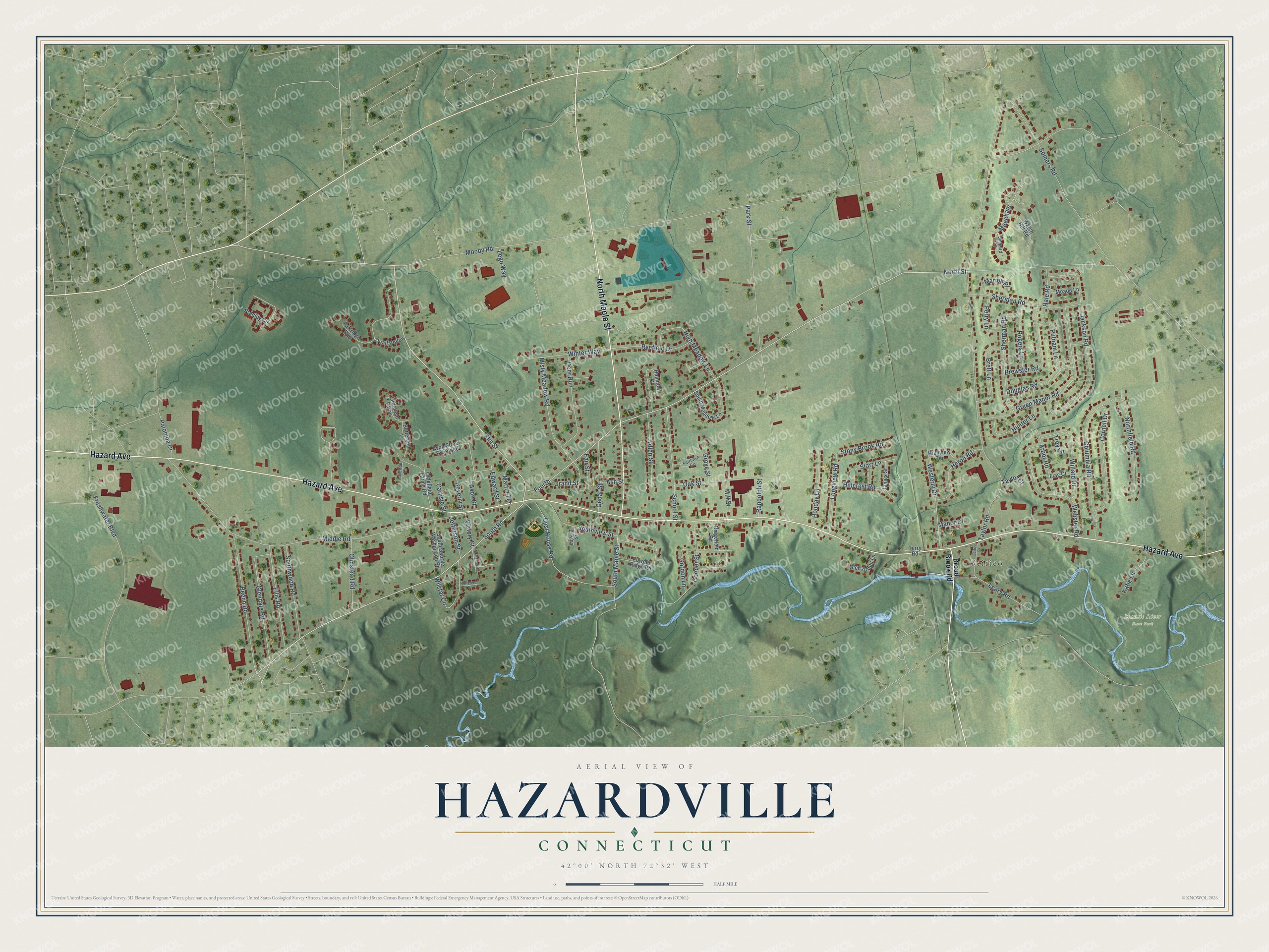
This beautifully detailed map of Hazardville, Connecticut was created in 2026 using aerial imagery combined with modern topographical, census, street and landmark data. It's a modern aerial view of Hazardville in Capitol Planning Region, Connecticut, that combines modern data with a vintage aesthetic. The roads feature printed names, and if you look closely you can find your exact house accurately shown in its correct location.
Explore an aerial view of Hazardville, Connecticut
On this map you'll find Scitico, Scantic River State Park, Hazard Avenue, North Maple Street, North Street, South Road, Elm Street, Fourth, Grand Street, Meacham, Avon Street, South Maple Street, and more. Each red shape is a building, so zoom in on the preview and look for yours.
Hazardville is a community in Capitol Planning Region. The Census Bureau counted 6,870 people here in 2020. Hazardville sits about 2 miles southeast of Sherwood Manor, 3 miles northeast of Southwood Acres and 3 miles east of Thompsonville. The map prints the town name in its title panel, with the coordinates below it.
Take a closer look at the Hazardville map
Names on this map
These names are printed on this map.
Places: Scitico and Scantic River State Park.
Streets and roads: Hazard Avenue, North Maple Street, North Street, South Road, Elm Street, Fourth, Grand Street, Meacham, Avon Street, South Maple Street, Moody Road, Taylor Road.
More street names, A to Z
Allen Street, Arbor Road, Ash Street, Avon Street Extended, Beech Road, Beverly Street, Bradley Circle, Brett Lane, Brewster Road, Broad Brook Road, Buttercup Lane, Carlisle Street, Cedar Street, Columbia Road, Cooper Street, Cornell Drive, Deer Run, Douglas Road, Dust House Road, Edgehill Street, Edward Street, Ellis Road, Fairlawn Circle, Fair Street, Flag Court, Freshwater Boulevard, Glen Arden Lane, Glendale Road, Gordon Lane, Green Manor Road, Grove Street, Hale Road, Hamilton Court, Heron Road, High Meadow Lane, Highview Terrace, Hillcrest Road, Holiday Lane, Hollywood Drive, Homestead Drive, Hunter Lane, Jackson Road, James Street, Jefferson Street, Katie Lane, Lavender Lane, Leary Road, Lego Way, Longview Road, Manor Court, Marion Place, Martin Terrace, Meade Lane, Middle Road, Mill Street, Misty Meadow Road, Northfield Road, Oak Street, Oldefield Farms, Oldefield Farms Road, Olmstead Road, Palomba Drive, Park Street, Partridge Run, Perry Lane, Powder Ridge Road, Putnam Lane, Quail Hollow, Randolph Street, Ridgefield Road, Rogers Lane, Ryefield Drive, School Street, Scitico Street, Shepard Lane, Sheridan Road, Sherman Road, Somers Road, South George Washington Road, South Meadow Lane, Southview Street, Southwood Road, Starr Lane, Stony Brook Road, Taylor Court, Terry Road, Troy Lane, Victory Street, Watch Hill Road, Webster Road, Westerly Drive, Willard Drive, Wilstar Circle, Winter Way.
See it on a wall
The Hazardville map as a framed print. Swipe for more.


Created by KNOWOL in 2026. The buildings are small red shapes, the roads carry their printed names, and shaded relief shows the shape of the land. The title panel reads "AERIAL VIEW OF HAZARDVILLE, CONNECTICUT" with 42°00' NORTH 72°32' WEST.
It looks right in a kitchen, an office or a den, and it's a gift for anyone who grew up in Hazardville or moved away. Open the preview and find your street. See sizes and frames for the Hazardville map.