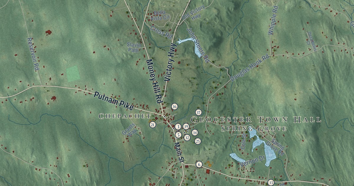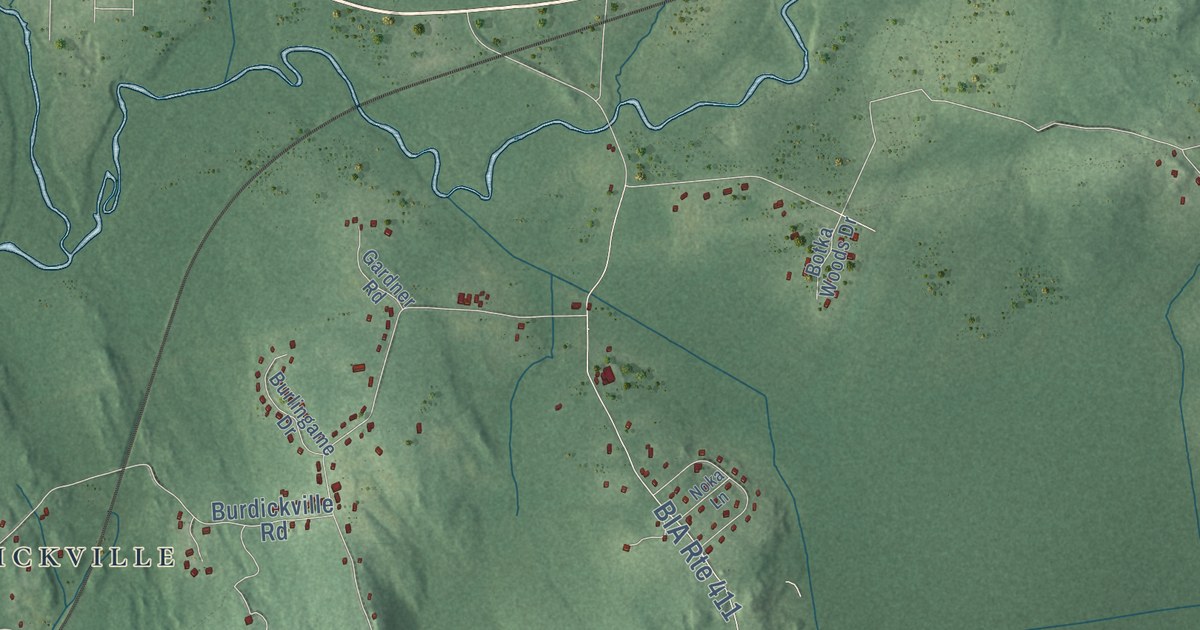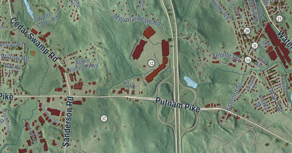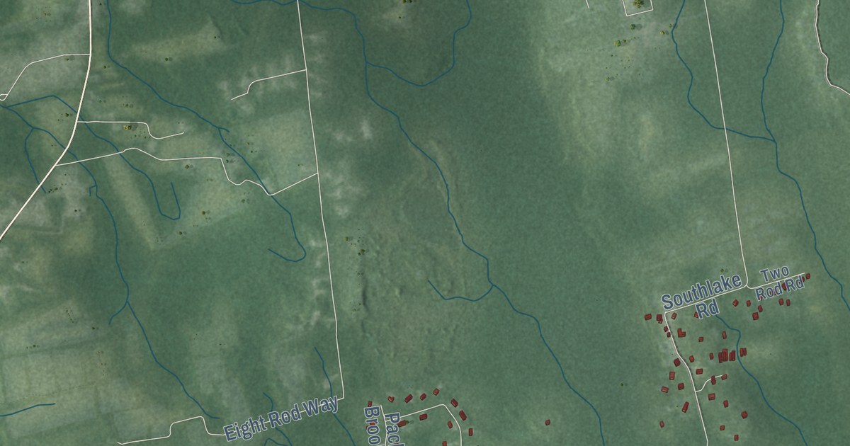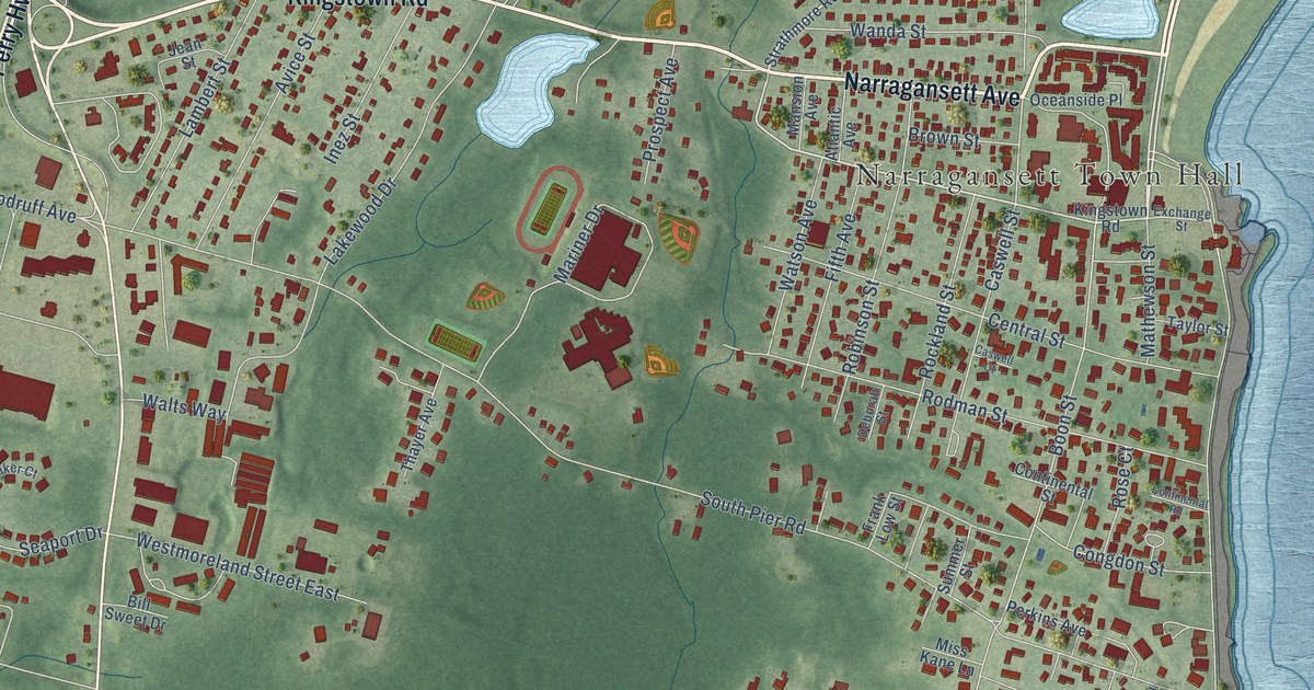
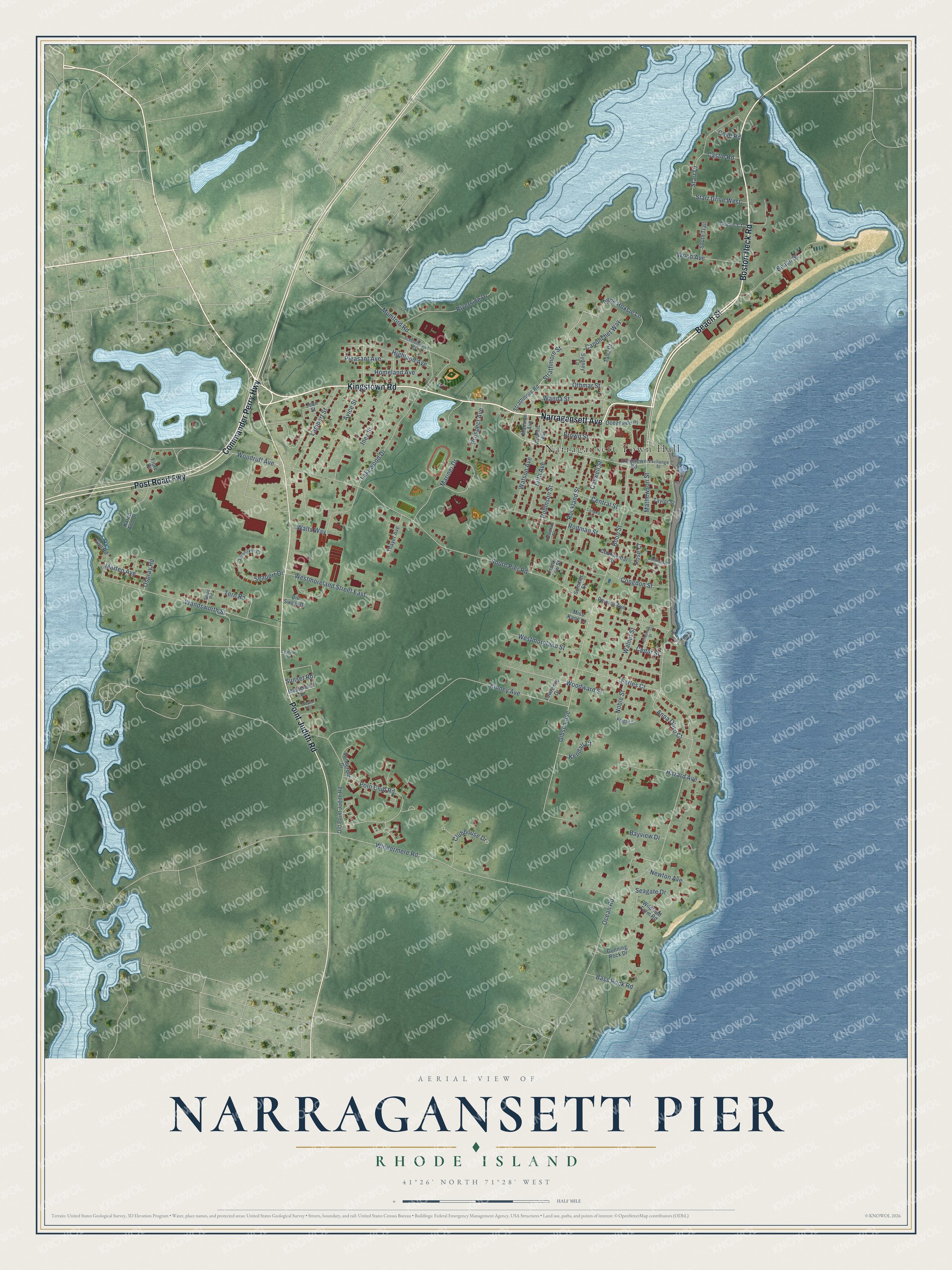
This beautifully detailed map of Narragansett Pier, Rhode Island was created in 2026 using aerial imagery combined with modern topographical, census, street and landmark data. It's a modern aerial view of Narragansett Pier in Washington County, Rhode Island, that combines modern data with a vintage aesthetic. The roads feature printed names, and if you look closely you can find your exact house accurately shown in its correct location.
Explore an aerial view of Narragansett Pier, Rhode Island
On this map you'll find Narragansett Town Hall, Kingstown Road, Narragansett Avenue, Boston Neck Road, Commander Perry Highway, Post Road Fwy, Point Judith Road, Beach Street, Strathmore Street, Othmar Street, Boon Street, Gibson Avenue, and more. Each red shape is a building, so zoom in on the preview and look for yours.
Narragansett Pier is a community in Washington County. The Census Bureau counted 3,308 people here in 2020. Narragansett Pier sits about 2 miles southeast of Wakefield-Peace Dale, 4 miles southeast of Kingston and 8 miles southwest of Newport. The map prints the town name in its title panel, with the coordinates below it.
Take a closer look at the Narragansett Pier map
Names on this map
These names are printed on this map.
Places: Narragansett Town Hall.
Streets and roads: Kingstown Road, Narragansett Avenue, Boston Neck Road, Commander Perry Highway, Post Road Fwy, Point Judith Road, Beach Street, Strathmore Street, Othmar Street, Boon Street, Gibson Avenue, Earles Court.
More street names, A to Z
Anna Olivo Court, Anne Hoxsie Lane, Atlantic Avenue, Avice Street, Bass Rock Road, Bayview Drive, Bill Sweet Drive, Brown Street, Canonchet Way, Cantone Road, Castle Road, Caswell Court, Caswell Street, Cedar Street, Central Street, Chestnut Street, Clubhouse Drive, Congdon Street, Continental Road, Continental Street, Cove Road, Deborah Street, Dunes Court, Exchange Street, Fifth Avenue, Fiore Drive, Frank Low Street, Gull Road, Gunning Rock Drive, Hazard Avenue, Highland Avenue, Homeland Avenue, Inez Street, Jean Street, Karen Ann Drive, Kendall Court, Kinney Avenue, Knight Street, Lakewood Drive, Lambert Street, Lawrence Drive, Mansion Avenue, Maplehurst Drive, Mariner Drive, Marten Avenue, Mathewson Street, Miss Kane Lane, Mumford Road, Newton Avenue, Noble Street, Ocean Road, Oceanside Place, Old Point Judith Road, Ospray Road, Perkins Avenue, Pleasant Avenue, Polo Club Road, Prospect Avenue, Riverside Drive, Robinson Street, Rockland Street, Rodman Street, Rose Court, Schoolhouse Road, Seagate Drive, Seaport Drive, Snipe Road, South Pier Road, South Trail, Spinnaker Court, Starr Drive, Starr Drive West, Strathmore Road, Summer Street, Sunset Road, Sydney Lane, Talia Court, Taylor Street, Tern Road, Thayer Avenue, Vanderbilt Drive, Walnut Street, Walts Way, Wanda Street, Wandsworth Street, Watson Avenue, Wayne Street, Westmoreland Street, Westmoreland Street East, Wildfield Farm Road, Windermere Road, Wood Avenue, Woodruff Avenue, Woodward Street.
See it on a wall
The Narragansett Pier map as a framed print. Swipe for more.


Created by KNOWOL in 2026. The buildings are small red shapes, the roads carry their printed names, and shaded relief shows the shape of the land. The title panel reads "AERIAL VIEW OF NARRAGANSETT PIER, RHODE ISLAND" with 41°26' NORTH 71°28' WEST.
Hang it in the hallway, the office or the cabin, or give it to someone who left Narragansett Pier and still calls it home. Open the preview and look for a street you know. See sizes and frames for the Narragansett Pier map.