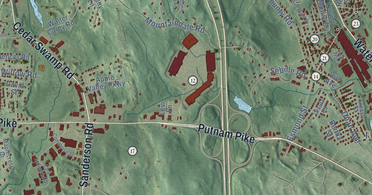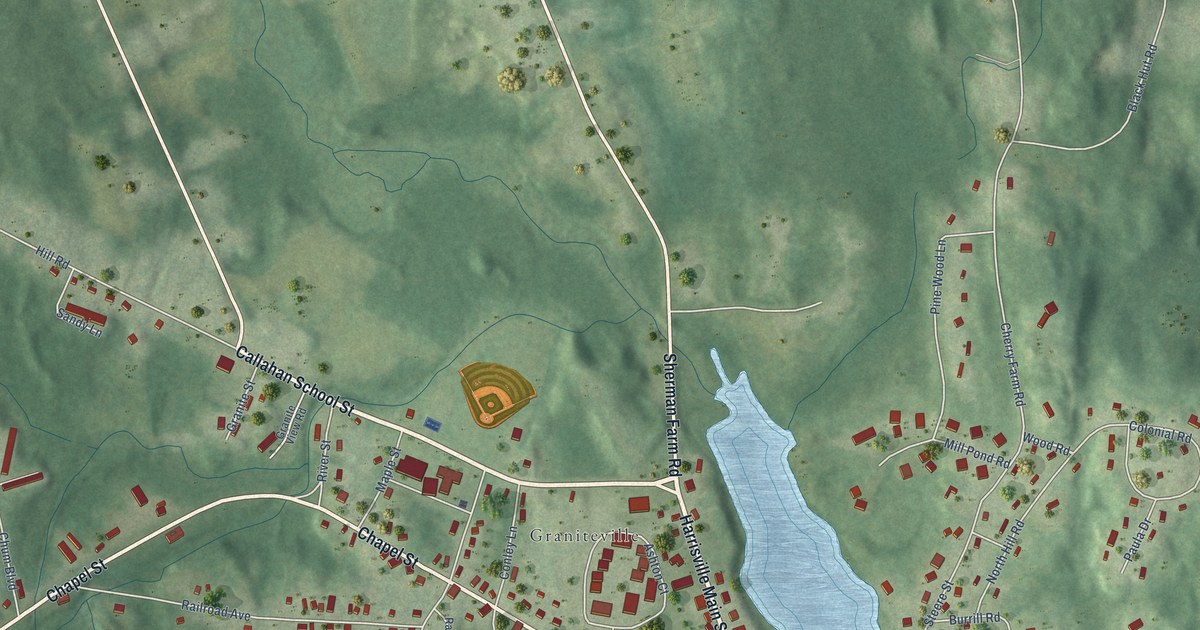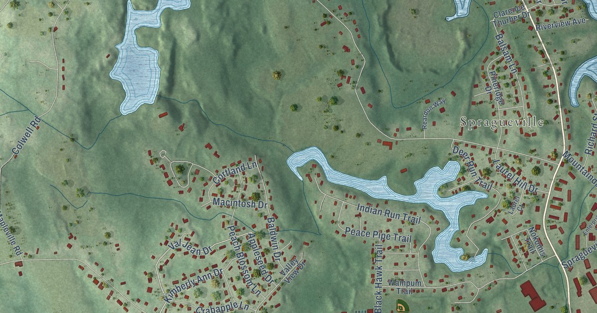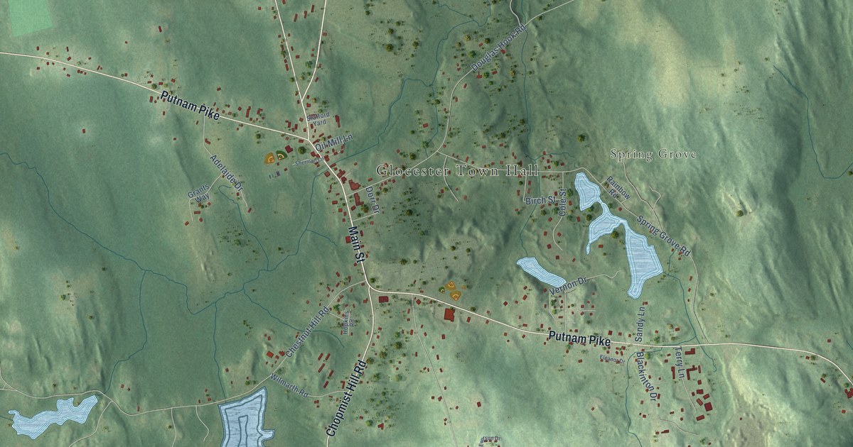
This beautifully detailed map of Chepachet, Rhode Island was created in 2026 using aerial imagery combined with modern topographical, census, street and landmark data. It's a modern aerial view of Chepachet in Providence County, Rhode Island, that combines modern data with a vintage aesthetic. The roads feature printed names, and if you look closely you can find your exact house accurately shown in its correct location.
Explore an aerial view of Chepachet, Rhode Island
On this map you'll find Glocester Town Hall, Spring Grove, Victory Highway, Putnam Pike, Money Hill Road, Chopmist Hill Road, Main Street, Tourtellot Hill Road, Old Victory Highway, Spring Grove Road, Chestnut Oak Road, Chestnut Hill Road, and more. Each red shape is a building, so zoom in on the preview and look for yours.
Here is a piece of Chepachet history. In June 1842, followers of Thomas W. Dorr, who led the fight for wider voting rights in Rhode Island, took over Chepachet village, and up to 700 men gathered with cannon. Dorr had already sent his men home when the state militia marched in and took Acote's Hill without a fight. Not long after, the hill became a burying ground, and it grew into the town's main cemetery. That's from the state Historical Preservation Commission.
Chepachet is a community in Providence County. The Census Bureau counted 1,704 people here in 2020.
Take a closer look at the Chepachet map
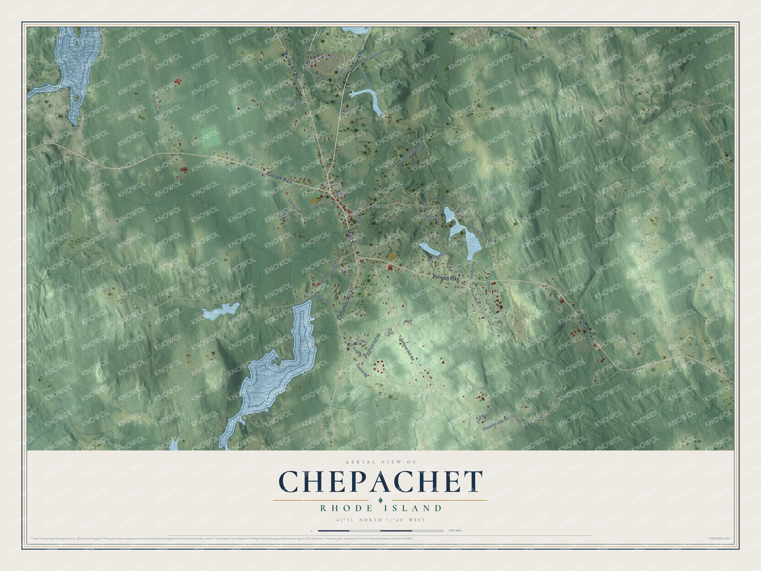
Names on this map
These names are printed on this map.
Places: Glocester Town Hall and Spring Grove.
Streets and roads: Victory Highway, Putnam Pike, Money Hill Road, Chopmist Hill Road, Main Street, Tourtellot Hill Road, Old Victory Highway, Spring Grove Road, Chestnut Oak Road, Chestnut Hill Road, Douglas Hook Road, John Steere Road.
More street names, A to Z
Adelaide Drive, Bella Vista Circle, Birch Street, Blackinton Drive, Cole Street, Cross Road, Davis Drive, Diamond Hill Road, Dorr Drive, Eleanor Drive, Everson Drive, Glasko Way, Grants Way, Hemlock Drive, Hopkins Road, Lloyd Bowen Court, Oil Mill Lane, Overlook Lane, Park View Drive, Pound Road, Rainbow Road, Reservoir Road, Sandy Lane, Sherman Lane, Slavin Path, Stafford Yard, Steere Farm Road, Terry Lane, Vernon Drive, Wilmarth Road.
See it on a wall
The Chepachet map as a framed print. Swipe for more.


Created by KNOWOL in 2026. The buildings are small red shapes, the roads carry their printed names, and shaded relief shows the shape of the land. The title panel reads "AERIAL VIEW OF CHEPACHET, RHODE ISLAND" with 41°55' NORTH 71°40' WEST.
It suits a den, a classroom or a front hall, and it makes a gift for anyone with Chepachet roots. Open the preview and find the block you know. See sizes and frames for the Chepachet map.