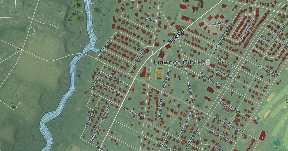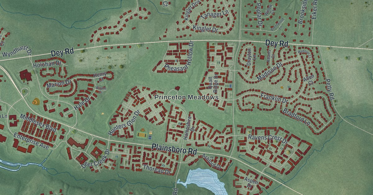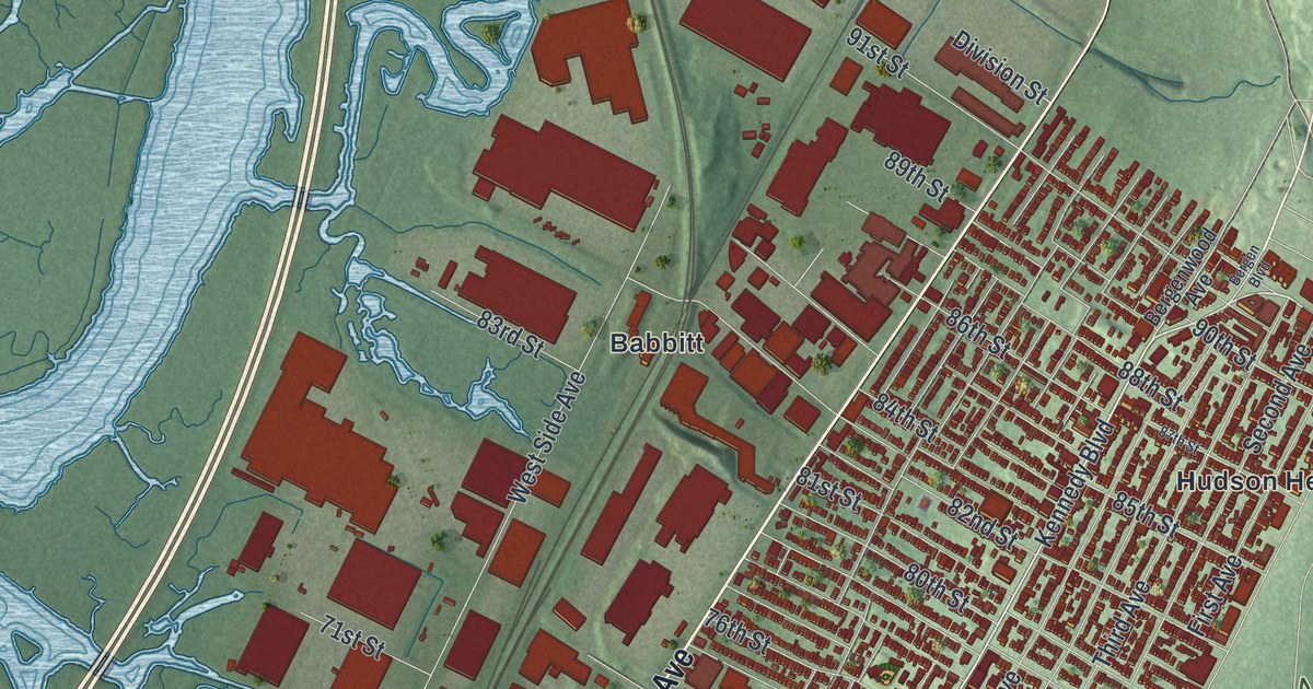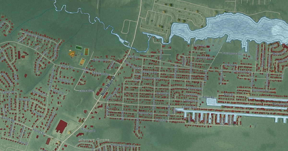
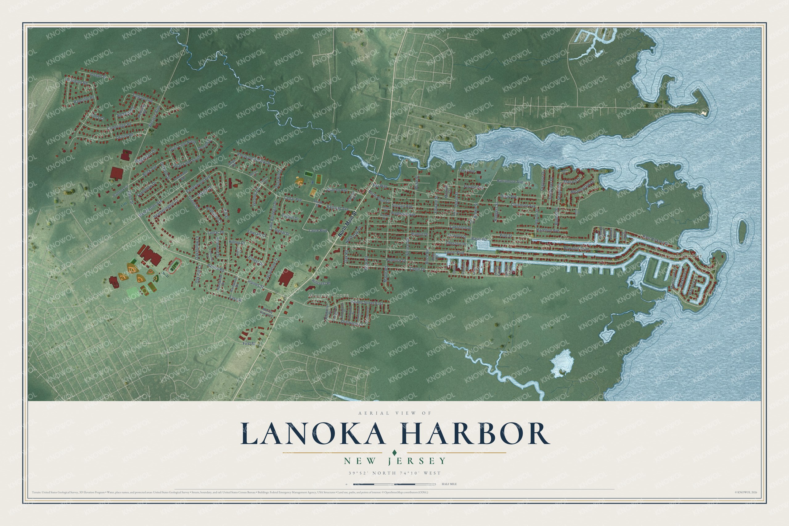
This beautifully detailed map of Lanoka Harbor, New Jersey was created in 2026 using aerial imagery combined with modern topographical, census, street and landmark data. It’s a one-of-a-kind view of Lanoka Harbor that combines accurate data with a vintage aesthetic. The map shows every building in its true location, many of the roads carry their names, and the shaded topographic relief shows the shape of the land.
Explore an aerial view of Lanoka Harbor, New Jersey
On the map you’ll find Laurel Harbor and Murray Grove, along with North Main Street, Laurel Boulevard, Haines Street, Haines Road, East Hickory Drive, Laure Boulevard, Pine Street, Oak Road, Cedar Drive, Railroad Avenue, and more. If you look closely you can even find your house accurately drawn in its correct location. Zoom in on the preview to look for yours.
Take a closer look at the Lanoka Harbor map
Names on this map
These names are printed on this map.
Places: Laurel Harbor and Murray Grove.
Streets and roads: North Main Street, Laurel Boulevard, Haines Street, Haines Road, East Hickory Drive, Laure Boulevard, Pine Street, Oak Road, Cedar Drive, Railroad Avenue, Driftwood Lane, Brick Avenue.
More street names, A to Z
Amherst Road, Ash Road, Atlantic City Court, Barramore Avenue, Basin Road, Bayberry Drive, Bay Way, Birch Road, Boat Road, Bowsprit Point, Briar Road, Brown Street, Bunnell Street, Buttonwood Drive, Cactus Drive, Cambridge Road, Camden Court, Carolyn Court, Cedar Avenue, Cedarwood Drive, Chestnut Drive, Clairmore Avenue, Colgate Avenue, Cottontail Lane, Dean Street, Deguise Street, Dolan Street, Donald Street, Drew Avenue, Dugout Drive, Eagleswood Avenue, Easy Street, Edward Street, Elizabeth Court, Emerald Court, Ernest Drive, First Street, Forrest Avenue, Foxhollow Drive, Grove Street, Haines Street East, Hardwood Drive, Hazelton Avenue, Heatherington Court, Hemlock Drive, Hillcrest Place, Hill Street, Hilltop Court, Hilltop Drive, Jacqueline Court, Jersey City Court, Joseph Street, Lake Barnegat Drive, Lakewood Avenue, Lanlac Drive, Laurelwood Drive, Lawrence Drive, Leslie Street, Locust Drive, Mallard Drive, Manchester Avenue, Maple Road, Maplewood Drive, Maxim Drive, Meadowlark Drive, Michelle Court, Morristown Street, Murray Grove Lane, North Oak Road, North Point Court, Oak Hill Court, Oakhollow Lane, Orchard Street, Oxford Road, Oxgoose Drive, Paddock Circle, Painter Point, Peaksail Point, Pelican Drive, Pheasant Hollow Drive, Plimsoll Point, Plover Court, Plumsted Court, Predmore Avenue, Princeton Road, Quail Hill Drive, Quail Lane North, Quail Lane South, Radcliffe Road, Ridgemont Drive, Rodgers Street, Rosewood Drive, Rowe Street, Sandpiper Drive, Seagull Drive, Shrike Court, Signal Street, Sinclair Avenue, Snipe Road, South Street, Spruce Road, Sycamore Drive, Teakwood Drive, Terry Avenue, Thorn Street, Tufts Court, Union Court, Veronica Court, Walnut Drive, Warren Avenue, Warwick Lane, Wellesley Road, Western Boulevard, Westwood Drive, Wickford Lane.
See it on a wall
The Lanoka Harbor map as a framed print. Swipe for more.


This beautifully detailed map of Lanoka Harbor makes an attractive addition to your office, library, or den, and it can even be used to teach children the geography and history of the area. It also makes a great gift for someone who left Lanoka Harbor and still calls it home. When you’re done exploring, click here to get your copy of the Lanoka Harbor map.