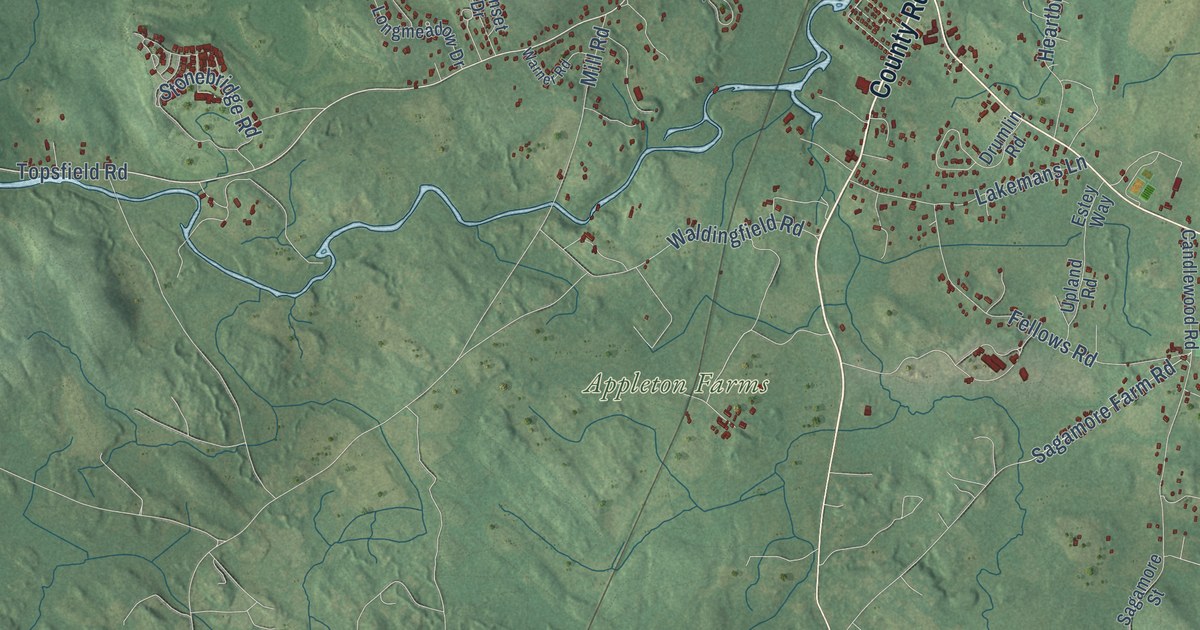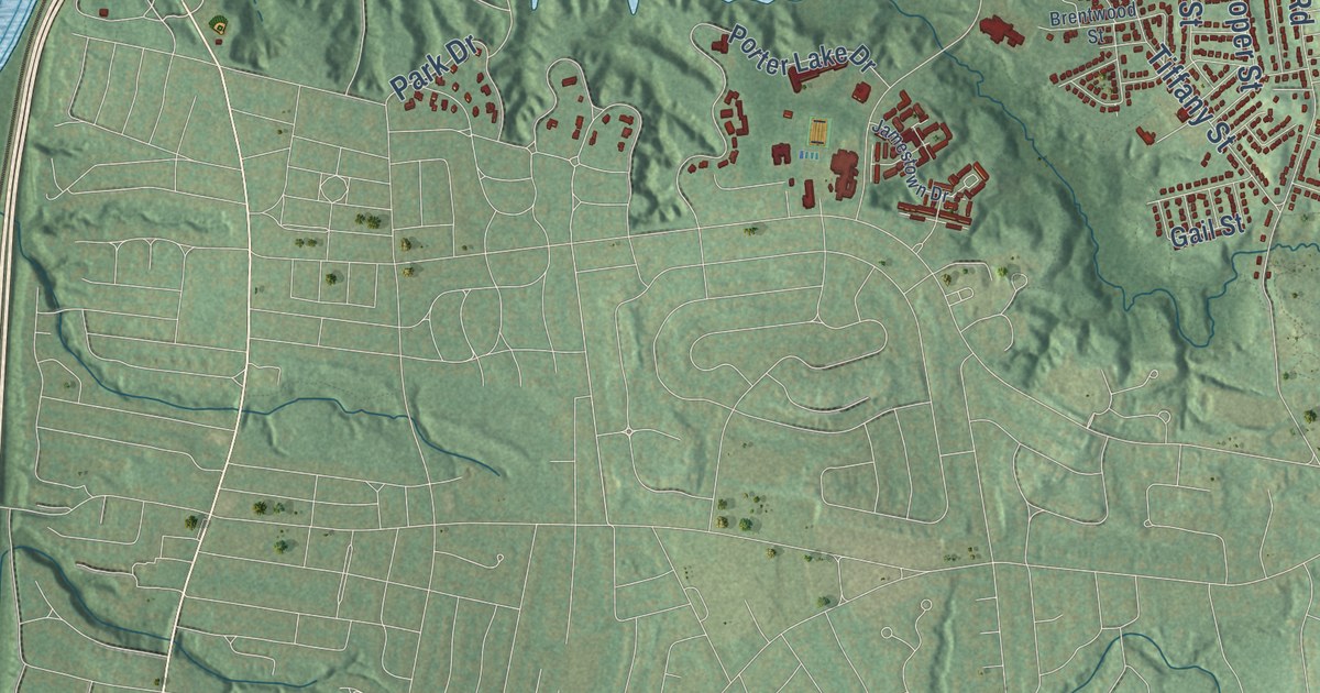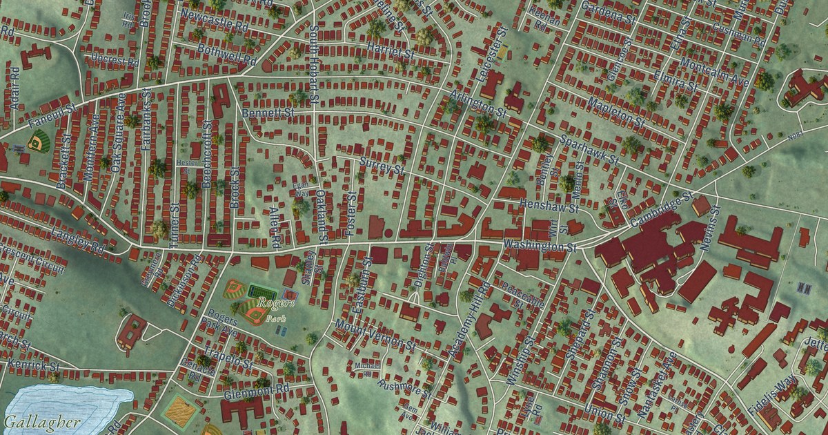
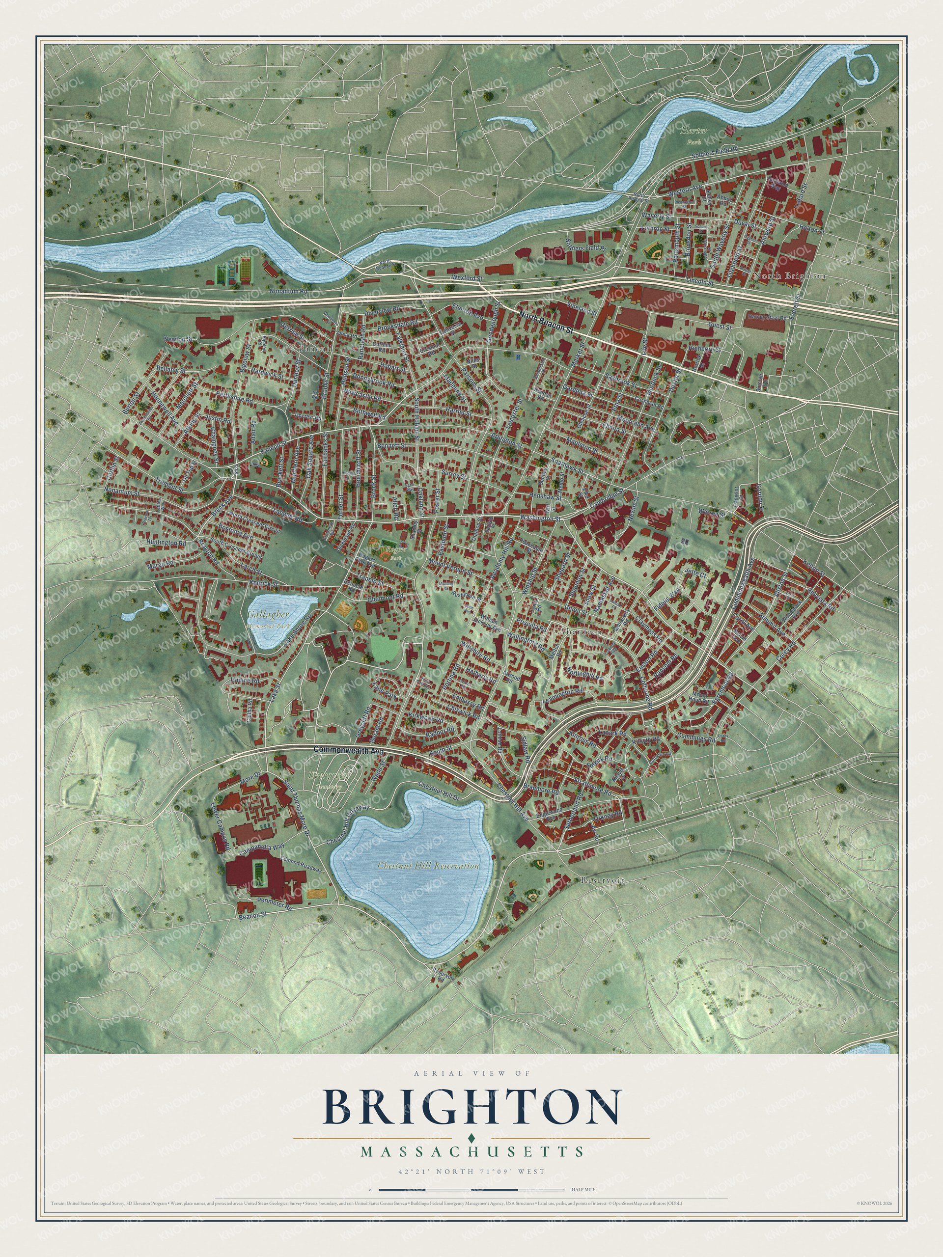
This beautifully detailed map of Brighton, Massachusetts was created in 2026 using aerial imagery combined with modern topographical, census, street and landmark data. It’s a one-of-a-kind view of Brighton that combines accurate data with a vintage aesthetic. The map shows every building in its true location, many of the roads carry their names, and the shaded topographic relief shows the shape of the land.
Explore an aerial view of Brighton, Massachusetts
On the map you’ll find Chestnut Hill Reservation, Evergreen Cemetery, Gallagher Memorial Park, Herter Park, Rogers Park, Faneuil, Reservoir, North Brighton, and Aberdeen, along with North Beacon Street, Commonwealth Avenue, Washington Street, and more. If you look closely you can even find your house accurately drawn in its correct location. Zoom in on the preview to look for yours.
Did You Know?
From Internet Archive: "Cragin, | in Brighton, the next day, in possession ofan Irish | tle subseriber, at his wharf, next to the bridge in -A.Ts Freneh, | boy who offered him for sale."
Brighton is a place in Suffolk County.
Take a closer look at the Brighton map
Names on this map
These names are printed on this map.
Places: Chestnut Hill Reservation, Evergreen Cemetery, Gallagher Memorial Park, Herter Park, Rogers Park, Faneuil, Reservoir, North Brighton, Aberdeen and Lane Park.
Streets and roads: North Beacon Street, Commonwealth Avenue, Washington Street, Beacon Street, Faneuil Street, Chestnut Hill Drive, Bigelow Street, Colborne Road, Breck Avenue, Lincoln Street, Warren Street, Allston Street.
More street names, A to Z
Abbey Road, Academy Hill Road, Adair Road, Allen Road, Antwerp Street, Arlington Street, Ascot Street, Atkins Street, Atwood Road, Ayr Road, Baldwin Place, Beechcroft Street, Bellamy Street, Bellvista Road, Bennett Street, Bentley Street, Bigelow Circle, Bostonia Avenue, Bothwell Road, Brackett Street, Braemore Road, Brayton Road, Brayton Terrace, Brock Street, Bronsdon Street, Brooksdale Road, Brooks Street, Burton Street, Caltha Road, Cambridge Street, Camelot Court, Campanella Way, Carol Avenue, Cenacle Road, Champney Street, Chestnut Hill Avenue, Chestnut Hill Driveway, Chiswick Road, Claymoss Road, Colborne Path, Colliston Road, Colwell Avenue, Converse Street, Corey Road, Corinne Road, Cresthill Road, Cufflin Street, Cummings Road, Cushman Road, Cygnet Street, Dickinson Road, Dighton Street, Donnybrook Road, Dunboy Street, Dustin Street, Duval Street, Eastburn Street, Edmond Roadway, Egan Way, Egremont Road, Electric Avenue, Elko Street, Elmira Street, Embassy Road, Englewood Avenue, Etna Street, Euston Road, Evans Road, Everett Street, Fairbanks Street, Falkland Street, Fidelis Way, Foster Street, Gardena Street, Gem Avenue, Gerald Road, Gerrish Street, Glencoe Street, Glenmont Road, Goodenough Street, Gordon Street, Greycliff Road, Greymere Road, Guest Street, Hardwick Street, Harriet Street, Harvey Steel Road, Hatherly Road, Henshaw Street, Herrick Street, Hester Street, Hichborn Street, Hobart Street, Hobson Street, Holton Street, Hunnewell Avenue, Huntington Road, Iris Road, Jette Court, Justinian Way, Justin Road, Keenan Road, Kelley Court, Kelton Street, Kenrick Street, Kilsyth Road, Kilsyth Terrace, Kinross Road, Kirkwood Road, Lake Path West, Lake Shore Road, Lake Street, Lanark Road, Langley Road, Larch Street, Larose Place, Lawrence Street, Leamington Road, Leicester Street, Letitia Way, Life Street, Litchfield Street, Lothian Road, Lothrop Street, Lower Campus Road, Lyne Road, Madeline Street, Mapleton Street, Margo Road, Market Street, Matchett Street, Melton Road, Melvin Avenue, Menlo Street, Michael Road, Monastery Road, Montcalm Avenue, Montfern Avenue, More Drive, Mount Hood Road, Mount Vernon Street, Murdock Street, Nantasket Avenue, Nevins Street, Newcastle Road, Newton Street, Niles Street, Nonantum Road, Nonantum Street, North Arsenal Street, North Crescent Circuit, Nottinghill Road, Oakland Street, Oak Square Avenue, Oliva Road, Orkney Road, Pama Gardens, Parsons Street, Peaceable Street, Perimeter Road, Perthshire Road, Portina Road, Portsmouth Street, Presentation Road, Priscilla Road, Radnor Road, Ranelegh Road, Ransom Road, Reservoir Road, Richardson Street, Riverview Road, Rogers Park Avenue, Rushmore Street, Saint Thomas More Drive, Sanderson Place, Saybrook Street, School Street, Selkirk Road, Shanley Street, Shannon Street, Shepard Street, Sidlaw Road, Sinclair Road, Snow Street, Soldiers Field Place, Soldiers Field Road, South Crescent Circuit, South Hobart Street, South Street, South Waverly Street, Sparhawk Street, Strathmore Road, Summit Avenue, Surrey Street, Sutherland Road, Telford Street, Tip Top Street, Trapelo Street, Tremont Street, Turner Street, Undine Road, Union Street, Upcrest Road, Vinal Street, Vineland Street, Wade Street, Wallingford Road, Waverly Street, Western Avenue, Wexford Street, William Jackson Avenue, Wiltshire Road, Winship Street, Wirt Street, Woodmont Street, Woodstock Avenue.
See it on a wall
The Brighton map as a framed print. Swipe for more.


This beautifully detailed map of Brighton makes an attractive addition to your office, library, or den, and it can even be used to teach children the geography and history of the area. It also makes a great gift for anyone who grew up in Brighton or moved away. When you’re done exploring, click here to get your copy of the Brighton map.