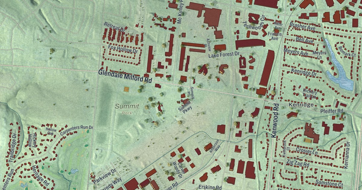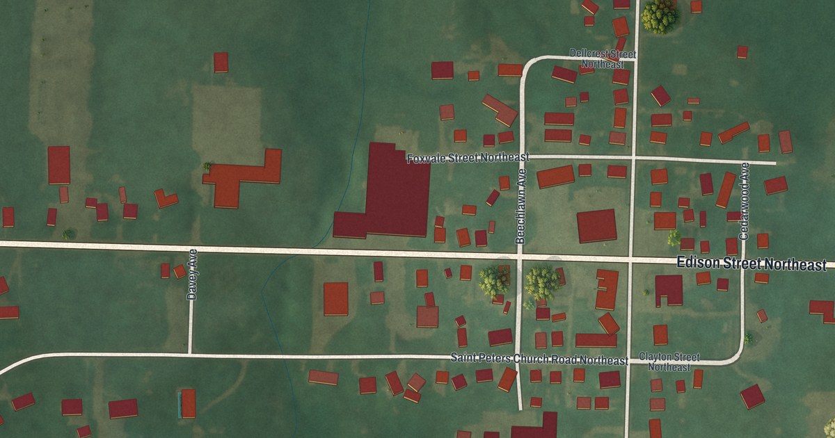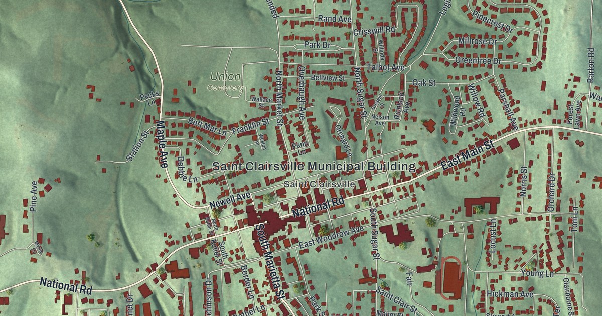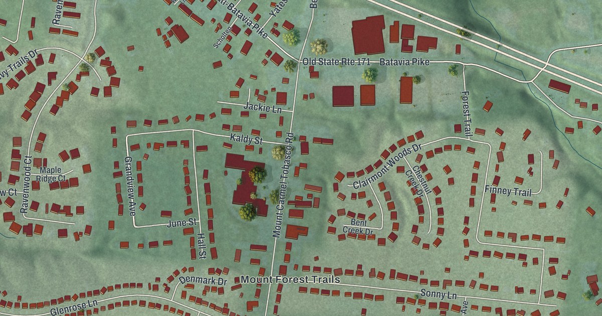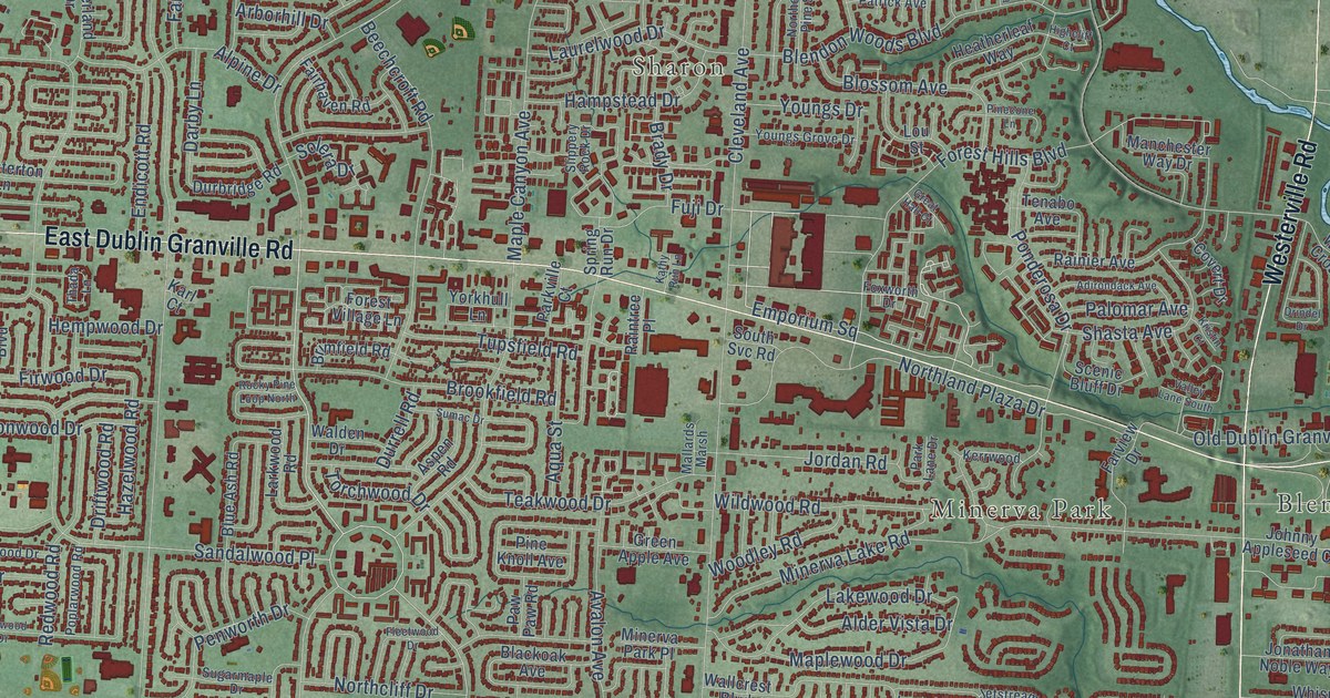
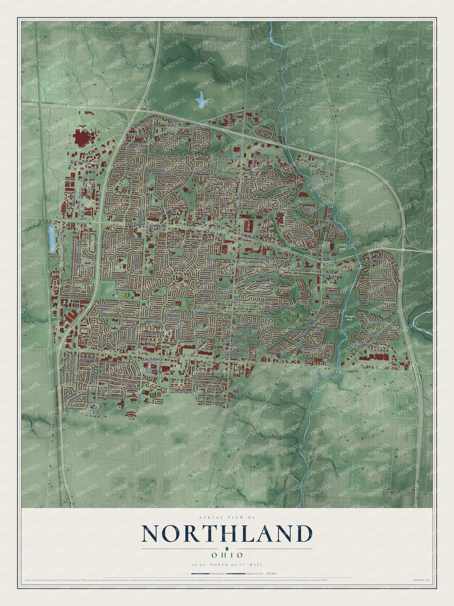
This beautifully detailed map of Northland, Ohio was created in 2026 using aerial imagery combined with modern topographical, census, street and landmark data. It’s a one-of-a-kind view of Northland that combines accurate data with a vintage aesthetic. The map shows every building in its true location, many of the roads carry their names, and the shaded topographic relief shows the shape of the land.
Explore an aerial view of Northland, Ohio
On the map you’ll find Moores Corners, Blendon Corner, Sharon, Minerva Park, Casto Park, Tanager Woods, and Emporium Square, along with East Dublin Granville Road, West Schrock Road, Columbus-Wooster Road, Westerville Road, Tamarack Boulevard, and more. If you look closely you can even find your house accurately drawn in its correct location. Zoom in on the preview to look for yours.
Did You Know?
From Internet Archive: "Carolyn McBride graduated from Northland High School and attended Ohio State University."
Northland is a place in Franklin County.
Take a closer look at the Northland map
Names on this map
These names are printed on this map.
Places: Moores Corners, Blendon Corner, Sharon, Minerva Park, Casto Park and Tanager Woods.
Streets and roads: East Dublin Granville Road, West Schrock Road, Columbus-Wooster Road, Westerville Road, Tamarack Boulevard, Emporium Square, Northtowne Boulevard, Sandalwood Place, Marland Drive, Cleveland Avenue, Morse Road, Karl Road.
More street names, A to Z
Abington Road, Adda Avenue, Adirondack Avenue, Alder Vista Drive, Almont Drive, Alona Drive, Alpine Drive, Alvina Drive, Ambleside Drive, Aqua Street, Arborhill Drive, Arborwood Court, Aruba Drive, Ascot Drive, Ashley Drive, Aspen Road, Atlantic Avenue, Avalon Avenue, Barnes Drive, Barnes Drive East, Bayfield Drive, Beechcroft Road, Belcher Court, Belcher Drive, Belden Road, Bella Via Avenue, Belleshire Street, Bennington Avenue, Berryfield Drive, Berthstone Drive, Bimini Drive, Blackoak Avenue, Blarefield Drive, Blendon Woods Boulevard, Blossom Avenue, Blue Ash Road, Blueberry Hollow Road, Blythe Road, Boardwalk Street, Bolenhill Avenue, Boulevard Layfayette, Boulevard Victor Hugo, Bourke Road, Boxwood Drive, Brady Drive, Bretton Woods Drive, Brimfield Road, Brittany Road, Brookfield Road, Brooklyn Road, Bryson Road, Busch Boulevard, Busch Court, Calgary Drive, Carbone Drive, Cardwell Square South, Center Court, Chateau Morse Drive, Checkrein Avenue, Cherrywood Road, Chester Road, Chesterton Lane, Chickory Avenue, Chimney Point Drive, Christine Boulevard, Claridon Road, Clybourne Road, Cody Road, Coghill Drive, Colfax Avenue, Colonel Perry Drive, Community Park Drive, Cooper Road, Corporate Exchange Drive, Covert Drive, Cranwood Drive, Crawford Drive, Crupper Avenue, Daffodil Drive, Darby Lane, Darcy Road, Deer Knoll Drive, Deewood Drive, Denise Drive, Devonhill Road, Dorsetshire Road, Doubletree Avenue, Dresden Street, Driftwood Road, Drindel Drive, Durbridge Road, Durrell Road, East Beaumont Road, East Lincoln Avenue, Eden Avenue, Edmonton Road, Elite Street, Ella Court, Elspeth Court, Emrick Road, Endicott Road, Esterbrook Road, Evaline Drive, Evanswood Drive, Evinrude Avenue, Fahlander Drive North, Faircrest Road, Fairgrove Road, Fairhaven Road, Farview Drive, Faymeadow Avenue, Fenceway Drive, Fenton Street, Firwood Drive, Fitzroy Drive, Fleetwood Drive, Fordham Road, Forest Edge Drive, Forest Hills Boulevard, Forest Village Lane, Fowler Drive, Foxworth Drive, Freeway Drive East, Freeway Drive North, Frenchpark Drive, Fuji Drive, Fullen Road, Garden Road, Garvey Road, Gem Lane, Glendon Road, Glen Grove Lane, Glenmawr Avenue, Glenshaw Avenue, Glouchester Avenue, Graniteway Lane, Great Hall Court, Green Apple Avenue, Grenville Drive, Gumwood Drive, Gypsy Lane, Hampstead Drive, Harborough Drive, Hartwell Road, Harvester Lane, Hazelwood Road, Heatherleaf Way, Heatherton Drive, Heaton Road, Hempwood Drive, Heron Pointe, Hickory Creek Lane, Highcliff Court, Hillandale Avenue, Hillsdale Drive, Home Acre Drive, Honeysuckle Boulevard, Ilo Drive, Inwood Place, Ironstone Drive, Ironwood Court, Ironwood Drive, Jetstream Drive, Jewett Drive, Johnanne Street, Johnny Appleseed Court, Jonathan Noble Way, Joos Avenue, Jordan Road, Judwick Drive, Julie Place, Karl Court, Kathy Run Lane, Keffer Road, Kellen Drive, Keltonshire Avenue, Kerrwood, Kilbourne Avenue, Kildale Court, Kildeer Court, Kimmel Road, Kingshill Drive, Kingsmill Parkway, Kool Air Way, Kristin Court, Lakewood Drive, Largo Court, Larkwood Road, Lauffer Ravines Drive, Lauffer Road, Laurelwood Drive, Lehner Road, Le Marie Court, Lisa Marie Road, Little Pine Drive, Loring Road, Lou Street, Magnolia Blossom Boulevard, Maize Road, Malin Street, Mallards Marsh, Manchester Way Drive, Maple Canyon Avenue, Maplewood Drive, Marchi Road, Margo Road, Marland Drive South, Matthias Drive, Mautino Drive, McFadden Road, Meadowview Drive, Meander Drive, Midvale Road, Millbank Road, Minerva Avenue, Minerva Lake Road, Minerva Park Place, Misty Cove Lane, Morality Drive, Nestling Drive, New Northland Crossing Avenue, Newtown Drive, Nobleshire Road, Norcross Road, Norma Road, Northcliff Drive, North Court, Northern Pine Street, North Fourth Street, Northgap Drive, Northgate Road, Northland Park Avenue, Northland Plaza Drive, North Meadows Boulevard, Northwold Road, Oakstone Drive, Old Dublin Granville Road, Omega Drive, Palomar Avenue, Parkdale Drive, Parkgate Road, Parklane Avenue, Park Lane Drive, Parkville Court, Patio Avenue, Patrick Avenue, Paw Paw Road, Peak Ridge Drive, Penworth Drive, Pershing Drive, Piccadilly Place, Pinecone Lane, Pine Knoll Avenue, Pin Oak Drive, Poling Drive, Ponderosa Drive, Poplarwood Road, Raflin Drive, Rainier Avenue, Raintree Place, Ramsdell Drive, Red Fern Drive, Red Robin Road, Redwood Road, Roche Drive, Rockwood Road, Rocky Pine Loop North, Rue de Monaco, Saling Drive, Sandalwood Boulevard, Sandy Lane Road, Satinwood Drive, Scenic Bluff Drive, Schrock Hill Court, Shadycrest Road, Shady Ridge Drive, Shanley Drive, Sharbot Drive, Sharon Court, Sharon Woods Boulevard, Shasta Avenue, Shore Drive, Sinclair Road, Skywae Drive, Slippery Rock Drive, Solera Drive, Solitare Lane, South Svc Road, Spring House Lane, Spring Run Drive, Staffordshire Road, Steiner Street, Stelzer Road, Stock Road, Strimple Avenue, Sugarbush Boulevard, Sugarmaple Drive, Sumac Drive, Sunbury Road, Sunderland Drive, Sunny Court, Tacoma Road, Tanager Drive, Taymouth Road, Teakwood Drive, Tenabo Avenue, Teton Road, Thada Lane, Thornapple Drive, Thurell Road, Timbertrail Drive North, Torchwood Drive, Transit Drive, Trent Road, Trindel Way, Tulsa Drive, Tupsfield Road, Urban Drive, Valley Lane South, Valley Park Avenue, Vinewood Drive, Vining Drive, Walden Drive, Waldorf Road, Walford Street, Wallcrest Boulevard, Wanda Lane Road, Ward Road, Watt Road, Westerville Crossing Drive, Wetmore Road, Wetmore Road East, Whisper Creek Drive, Wildwood Road, Willowick Drive, Wintergreen Boulevard, Woodley Road, Wren Trce, Yorkhull Lane, Youngs Drive, Youngs Grove Drive, Zumstein Drive.
See it on a wall
The Northland map as a framed print. Swipe for more.


This beautifully detailed map of Northland makes an attractive addition to your office, library, or den, and it can even be used to teach children the geography and history of the area. It also makes a great gift for anyone with Northland roots. When you’re done exploring, click here to get your copy of the Northland map.