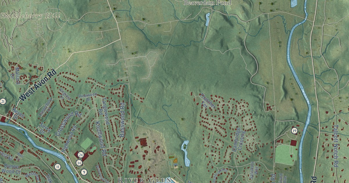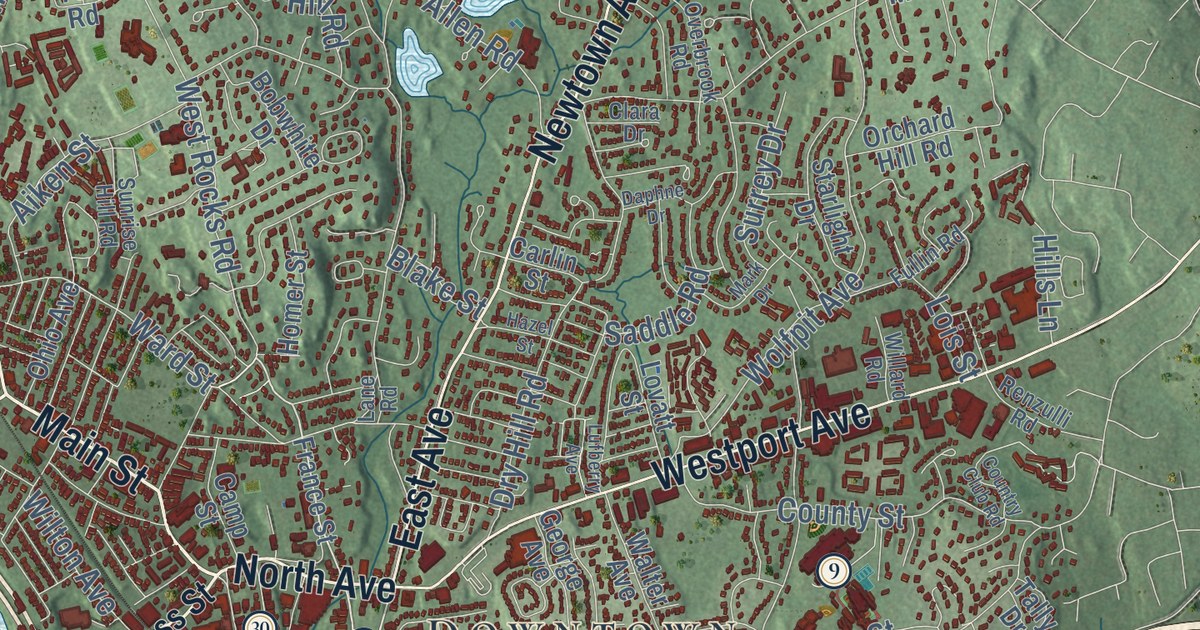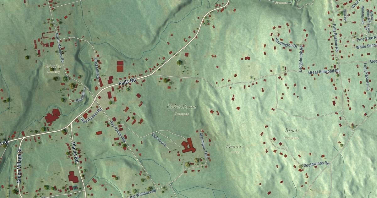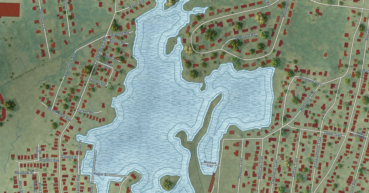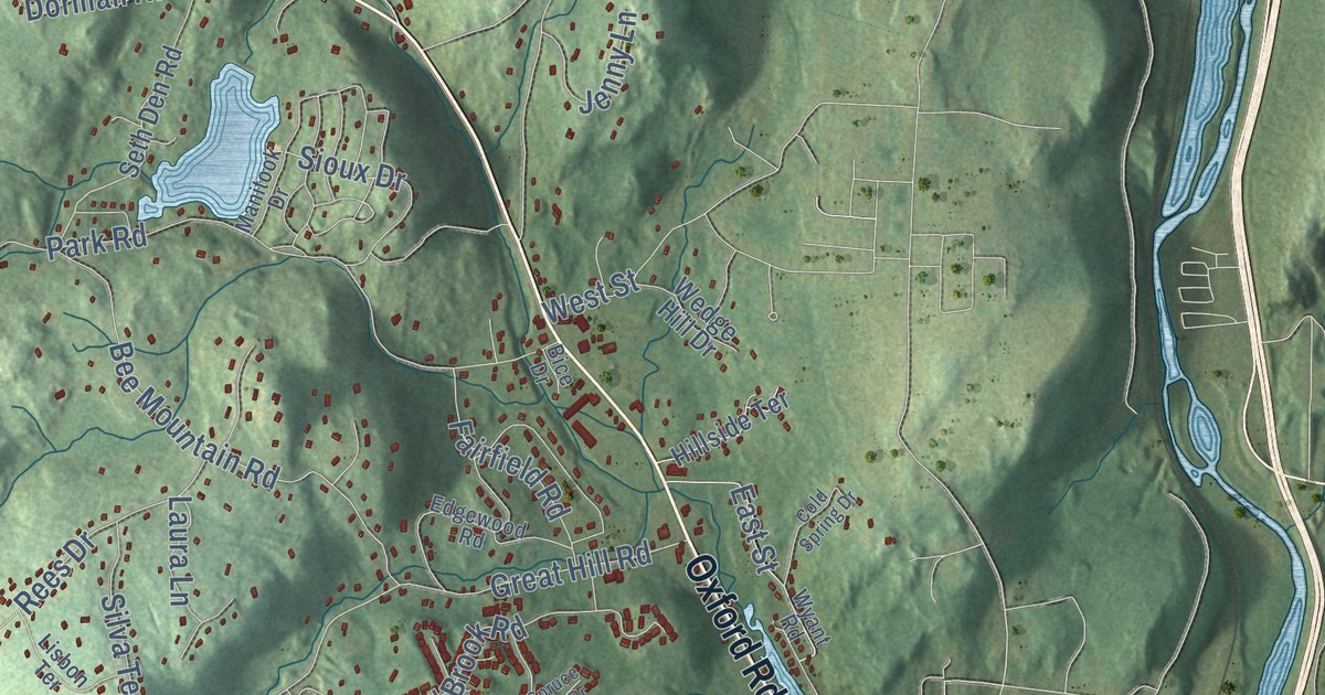
This beautifully detailed map of Oxford, Connecticut was created in 2026 using aerial imagery combined with modern topographical, census, street and landmark data. It’s a one-of-a-kind view of Oxford that combines accurate data with a vintage aesthetic. The map shows every building in its true location, many of the roads carry their names, and the shaded topographic relief shows the shape of the land.
See it on a wall
The Oxford map as an 18 x 24 inch print in a black frame.

Explore an aerial view of Oxford, Connecticut
On the map you’ll find Downtown, Andrews Hill, Bowers Hill, Bucks Hill, Bullet Hill, Carrington Pond, Chanko Pond, Kettletown State Park, Matthies Memorial Park, Naugatuck State Forest, Rockhouse Hill Sanctuary, Quaker Farms, and more. If you look closely you can even find your house accurately drawn in its correct location. Zoom in on the preview to look for yours. Click here to learn more about the history of Oxford.
Take a closer look at the Oxford map
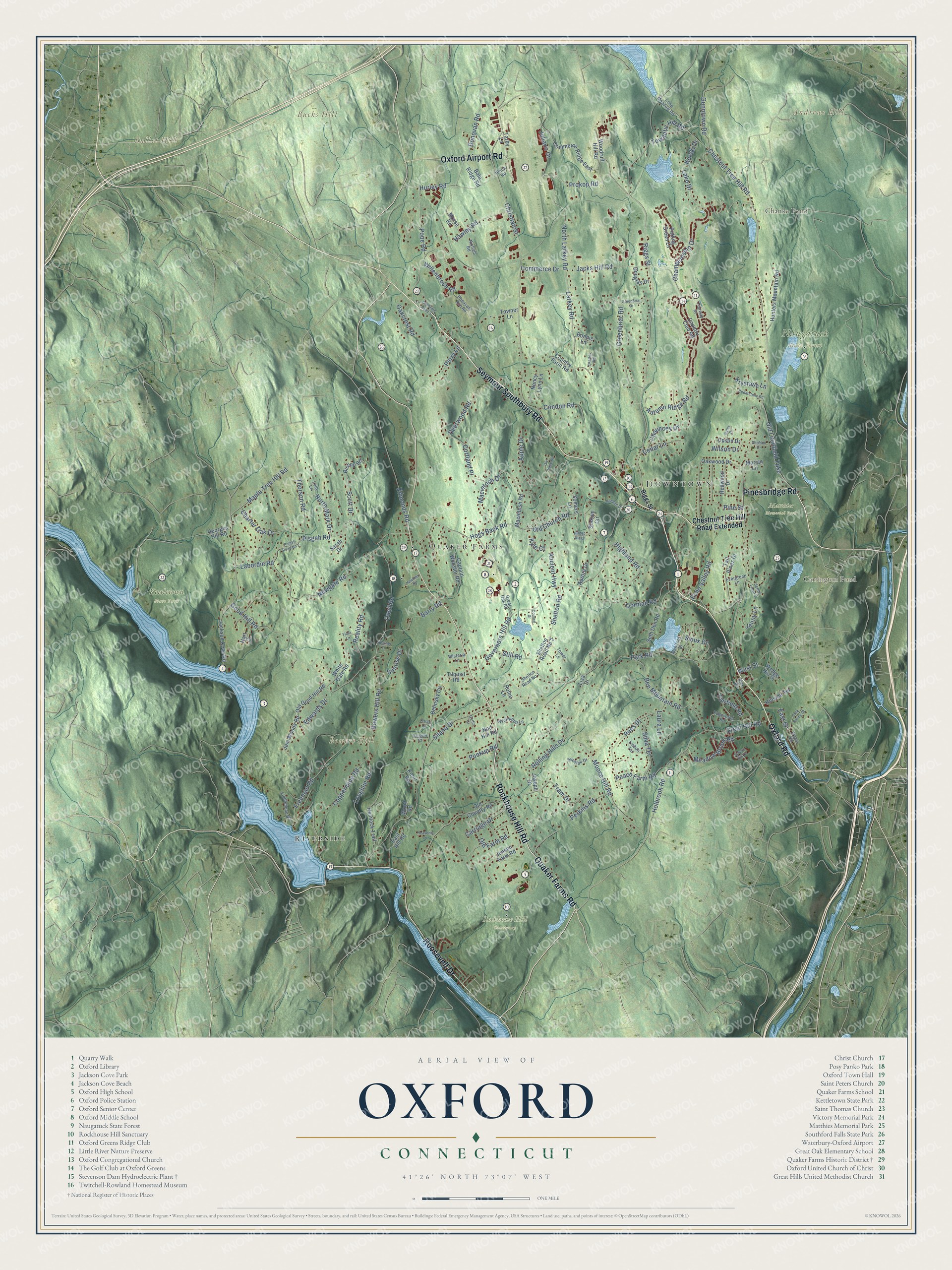
Click to explore a larger preview. The digital watermark does not appear on printed maps.
Names on this map
These names are printed on this map.
Places: Downtown, Andrews Hill, Bowers Hill, Bucks Hill, Bullet Hill, Carrington Pond, Chanko Pond, Kettletown State Park, Matthies Memorial Park, Naugatuck State Forest, Rockhouse Hill Sanctuary, Quaker Farms and Riverside.
Streets and roads: Rockhouse Hill Road, Pinesbridge Road, Oxford Road, Seymour Southbury Road, Quaker Farms Road, Roosevelt Drive, Oxford Airport Road, Riggs Street, North Larkey Road, Prokop Road, Chestnut Tree Hill Road, Holbrook Road.
More street names, A to Z
Ancient Highway, Apple Drive, Aurora Drive, Autumn Ridge Road, Bala Ridge Road, Barry Road, Bee Mountain Road, Belinsky Circle, Bice Drive, Bishop Road, Bonnie Lane, Bowers Hill Road, Captain Wooster Road, Carriage Drive, Cedar Lane, Cedarstone Road, Championship Drive, Charles Road, Charter Oak Drive, Chauncey Drive, Chestnut Tree Hill Road Extended, Christian Street, Cold Spring Drive, Commerce Drive, Commerce Ridge East, Condon Road, Coppermine Road, Cortland Place, Council Drive, Country Club Road, Country Farm Road, Crozier Court, Deerwood Road, Donovan Road, Dorman Road, Douglas Drive, East Hill Road, East Street, Echo Valley Road, Edgewood Road, Edmonds Road, Edwards Drive, Evergreen Lane, Fairfield Road, Fairway Drive, Fiddlehead Road, Flora Lane, Freeman Road, Georges Hill Road, Goffin Court, Good Hill Road, Governors Hill Road, Great Hill Road, Great Oak Road, Greenbriar Drive, Greenbriar Road, Gunntown Road, Hart Court, Hawkins Road, Hawley Road, Heather Lane, Heavenly Lane, Hemlock Trail, Highland Road, Hillside Terrace, Hilltop Ridge, Hogs Back Road, Hollis Drive, Hunters Mountain Road, Hurley Road, Jacks Hill Road, Jackson Cove Road, Jem Woods Road, Jenny Lane, Jenny Lane 2, Jensen Farm Road, Joseph Drive, Juliano Drive, Kerski Drive, Knorr Road, Krystalle Lane, Kyle Court, Labordie Road, Lake Drive, Larkey Road, Laura Lane, Lisa Drive, Lisbon Terrace, Lolly Lane, Long Meadow Road, Loughlin Road, Macintosh Drive, Macintosh Road, Manitook Drive, Maple Tree Hill Road, Marian Lane, Meadow Brook Road, Moose Hill Road, Morse Road, Nancy Lynn Lane, Newgate Road, Nichols Road, Nod Hill Road, North Mark Drive, Oakcrest Road, Oakwood Drive, Old Church Road, Old Country Road, Old Farm Road, Old Good Hill Road, Old Litchfield Turnpike, Old State Road 1, Oneil Road, Owl Ridge Road, Park Road, Peach Farm Road, Perkins Road, Perry Lane, Pheasant Run Road, Pine Street, Pisgah Road, Pisgah Road No 2, Ploch Road, Pope Road, Punkup Road, Putting Green Lane, Randall Drive, Reality Road, Redwood Drive, Rees Drive, Rolling Hills Drive, Rome Lane, Sarah Drive, Scott Drive, Seth Den Road, Sheldon Drive, Shelton Road, Shelton Road No 1, Shelton Road No 2, Silano Drive, Silva Terrace, Sioux Drive, Somers Lane, Spruce Hill Drive, Stakum Circle, Still Road, Sunrise Drive, Svehlak Drive, Tall Pines Drive, Tarby Lane, Tetlak Lane, Thorson Road, Tilquist Road, Towantic Hill Road, Tower Lane, Towner Lane, Tram Drive, Upson Drive, Wedge Hill Drive, West Street, White Gate Road, Willenbroch Road, Wilson Drive, Wisteria Lane, Wood Road, Woodruff Hill Road, Wyant Road, Wychwood Lane.
This beautifully detailed map of Oxford makes an attractive addition to your office, library, or den, and it can even be used to teach children the geography and history of the area. It also makes a great gift for anyone with Oxford roots. When you’re done exploring, click here to get your copy of the Oxford map.