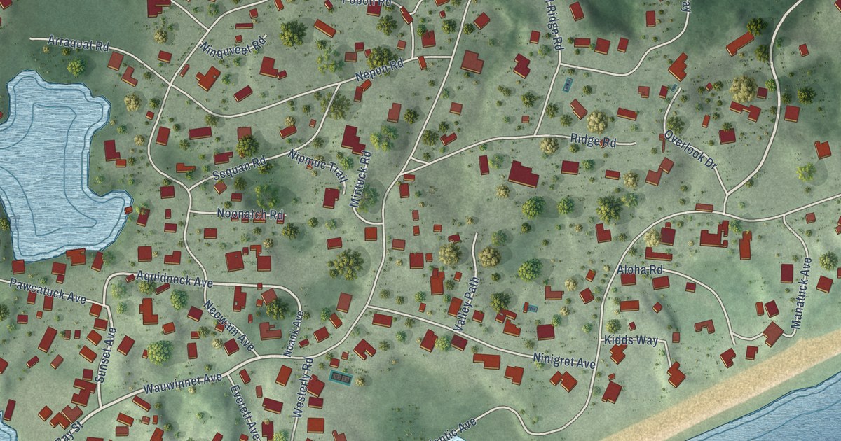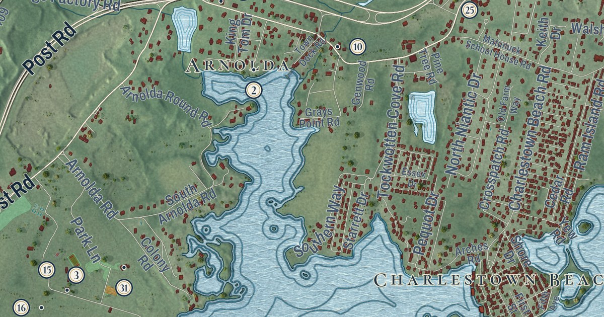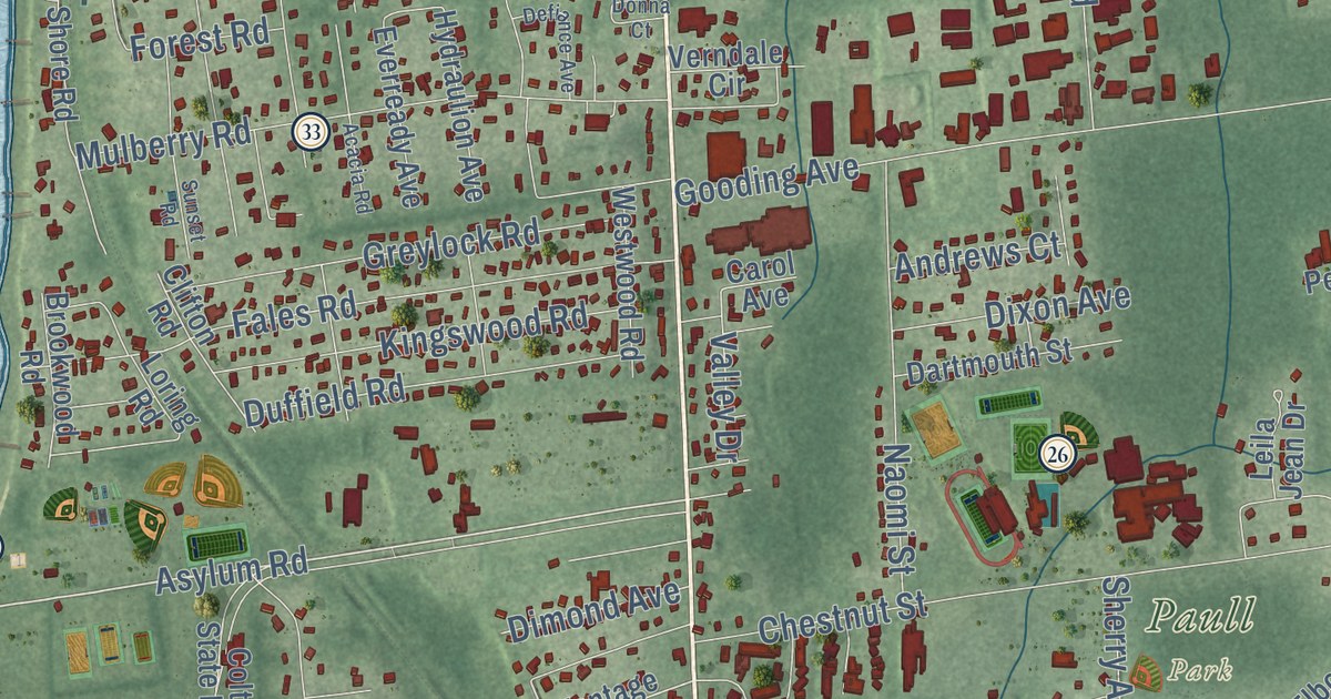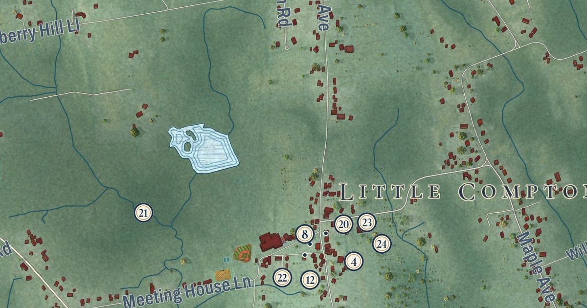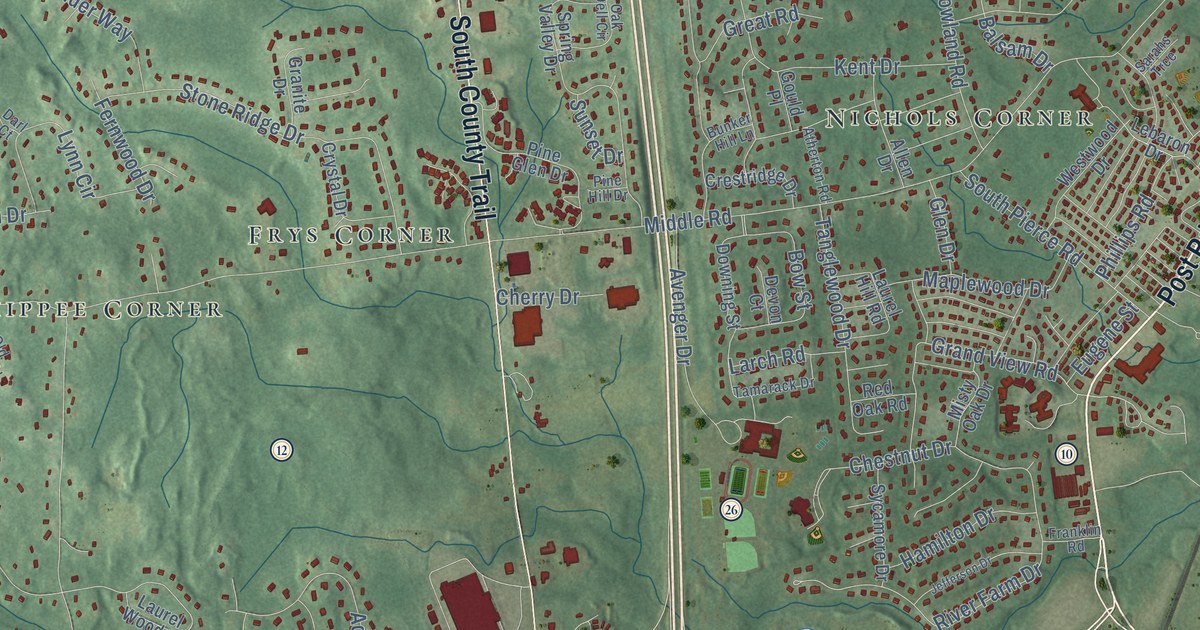
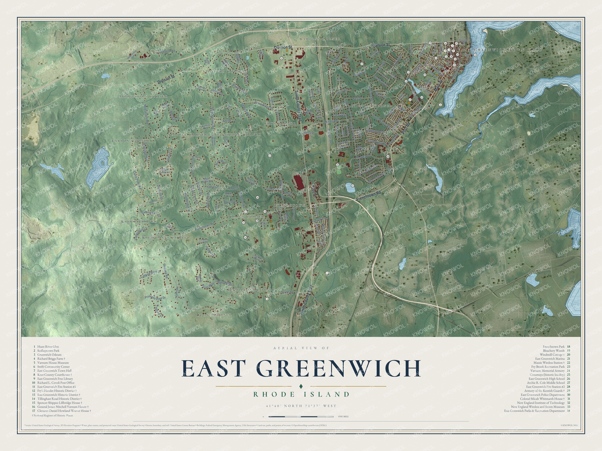
This beautifully detailed map of East Greenwich, Rhode Island was created in 2026 using aerial imagery combined with modern topographical, census, street and landmark data. It’s a one-of-a-kind view of East Greenwich that combines accurate data with a vintage aesthetic. The map shows every building in its true location, many of the roads carry their names, and the shaded topographic relief shows the shape of the land.
See the East Greenwich, Rhode Island map on a wall
The East Greenwich map as an 18 x 24 inch print in a black frame.

Explore an aerial view of East Greenwich, Rhode Island
On the map you’ll find East Greenwich Town Hall, Moosehorn Corner, Bartons Corner, Cooks Corner, Frenchtown, Frys Corner, Woods Corner, Tarbox Corner, Places Corner, Ike Shippee Corner, Nichols Corner, Spencers Corner, and more. If you look closely you can even find your house accurately drawn in its correct location. Zoom in on the preview to look for yours.
Did you know this piece of East Greenwich, Rhode Island history?
On June 12, 1772, the Rhode Island Assembly voted to form the first navy of the United States in East Greenwich. The navy had two ships, named the Katy and the Washington. Captain Abraham Whipple was given command and the title of commodore.
Take a closer look at the East Greenwich map
Click to explore a larger preview. The digital watermark does not appear on printed maps.
Street and place names on the East Greenwich, Rhode Island map
These names are printed on the map of East Greenwich, Rhode Island.
Places: East Greenwich Town Hall, Moosehorn Corner, Bartons Corner, Cooks Corner, Frenchtown, Frys Corner, Woods Corner, Tarbox Corner, Places Corner, Ike Shippee Corner, Nichols Corner, Spencers Corner, Hamiltons Corner, Shippee Corner and Wightmans Corner.
Streets and roads: Post Road, Main Street, Division Street, Frenchtown Road, South County Trail, Carrs Pond Road, South Road, Kenyon Avenue, Crompton Road, Middle Road, Tillinghast Road, Shippeetown Road.
More street names, A to Z
Adirondack Drive, Allen Drive, Ann Drive, Arbor Way, Arrowhead Trail, Atherton Road, Aurora Road, Avenger Drive, Ayrault Road, Bailey Boulevard, Balsam Drive, Blueberry Drive, Boulder Way, Bow Street, Brayton Meadows, Brisas Circle, Bunker Hill Lane, Burns Way, Canterbury Lane, Cardinal Lane, Cavalier Drive, Cedar Avenue, Cherry Drive, Chestnut Drive, Cindyann Drive, Cooper Lane, Corr Way, Crestridge Drive, Crickett Circle, Crompton Avenue, Crystal Drive, Dalehill Drive, Darl Court, Deerfield Drive, Devon Court, Diplomat Drive, Downing Street, Duke Street, Eugene Street, Falcon Circle, Fernwood Drive, First Avenue, Fourth Street, Fox Run, Franklin Road, Friendship Street, Glen Drive, Gould Place, Graham Way, Grand View Road, Granite Drive, Great Road, Greene Street, Hamilton Drive, Hemlock Drive, Hidden Lane, High Hawk Road, Howland Farm Road, Howland Road, Huling Lane, Hunters Crossing, Jefferson Drive, Jodie Beth Drive, Judge Torres Lane, Juniper Drive, Justin Road, Kent Drive, King Philip Trail, Kirker Drive, Knollwood Avenue, Larch Road, Larkspur Road, Laurel Hill Road, Laurel Wood Drive, Lebaron Drive, Lenihan Lane, Liberty Street, London Street, Long Meadow Drive, Lynn Circle, Maplewood Drive, Meadowbrook Road, Miss Fry Drive, Misty Oak Drive, Moosehorn Road, New London Turnpike, Oak Dell Circle, Oakwood Drive, Old Farm Road, Osprey Drive, Overbrook Lane, Overfield Road, Pardons Wood Lane, Partridge Run, Pegwin Drive, Pequot Trail, Pheasant Drive, Phillips Road, Pine Glen Drive, Pine Hill Drive, Princess Pine Drive, Proctor Avenue, Queen Street, Rector Street, Red Barn Lane, Red Oak Road, River Farm Drive, River Run, Rock Way, Sanctuary Drive, Sarahs Trce, Sawmill Court, Shady Hill Drive, Sheep Farm Drive, Shippee Road, Signal Ridge Way, Silo Lane, Sixth Avenue, South Pierce Road, Sparrow Lane, Spencers Grant Drive, Spring Valley Drive, Squirrel Lane, Stone Ridge Drive, Summit Farm Drive, Sunset Drive, Sycamore Drive, Sylvan Drive, Taggart Court, Tamarack Drive, Tanglewood Drive, Tipping Rock Drive, Valley Road, Watch Hill Drive, Waterford Drive, Westfield Drive, West Street, Westwood Drive, Woodbridge Drive.
This beautifully detailed map of East Greenwich makes an attractive addition to your office, library, or den, and it can even be used to teach children the geography and history of the area. It also makes a great gift for anyone with East Greenwich roots. When you’re done exploring, click here to get your copy of the East Greenwich map.