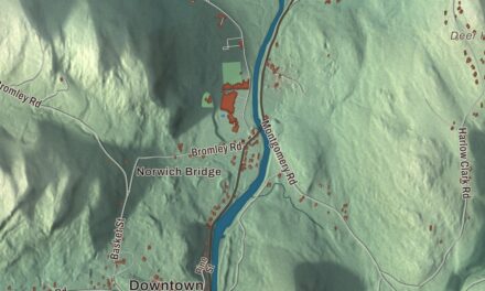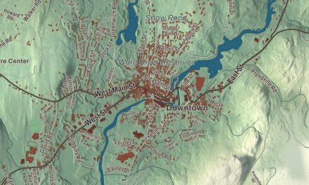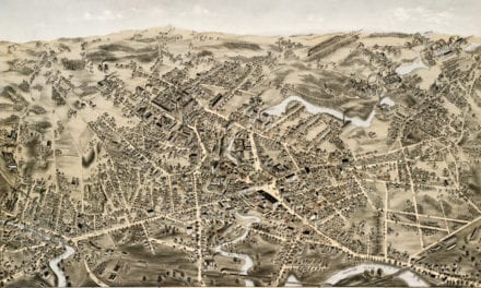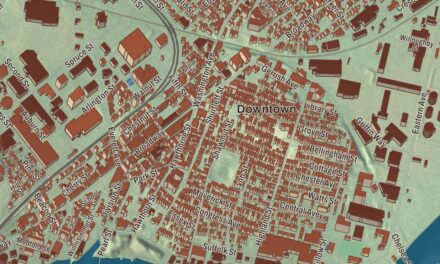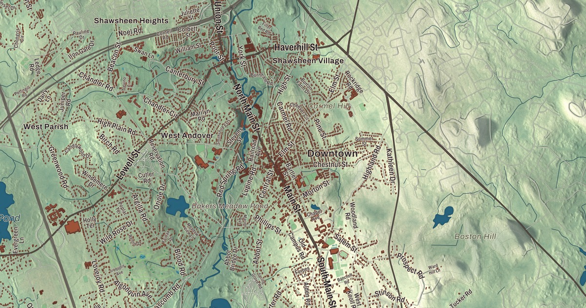
In northern Andover, where Main Street meets Lowell Street and Haverhill Street, a woolen company built Shawsheen Village as a model community in the early 1920s. This map prints Main Street, North Main Street, South Main Street, Lowell Street, Haverhill Street and Union Street, along with Haggetts Pond, Ames Pond, Bakers Meadow Pond, Lake Cochichewick, and Ames Hill, Aslebe Hill and Boston Hill. Click here to purchase a print of this map for your wall.
Andover is in Essex County, about 20 miles north of Boston.
KNOWOL made this map in 2026 from public survey data and gave it the look of an old atlas. The shaded terrain comes from United States Geological Survey elevation data, The town has many glacial features, among them drumlins, eskers and glacial erratics. Holt Hill, at 420 feet the highest point in Essex County, is in town, part of the Charles W. Ward Reservation. The roads and the town line come from the Census Bureau. Andover had 36,569 people at the 2020 census.
Cochichawick
The Massachusett people called this area Cochichawick. In 1642 John Woodbridge and settlers from Newbury and Ipswich made the first permanent English settlement, and The Town of Andover’s recorded history in the state’s list dates it to 1642 too. They bought the land from the sachem Cutshamache for six pounds and a coat, on the condition that a local band of native people led by a man named Roger could keep planting corn and catching alewives; Roger’s Brook, in the eastern part of town, still carries his name. Andover was incorporated as a town in 1646, likely named for Andover in England, near the old home of some of its first settlers. The town remains part of Essex County today.
The early town centered on what is now North Andover. As people moved south, a dispute over a new meeting house ended in 1709 with the town split into North and South parishes, and South Andover built its own South Church. The two parishes became separate towns in 1855: the South and West parishes kept the name Andover, and the North Parish became North Andover.
Independence and freedom
On the morning of April 19, 1775, about 350 Andover men marched toward Lexington. They arrived too late for that day’s fighting but went on to fight at Bunker Hill two months later. Samuel Phillips Jr. founded Phillips Academy here in 1778, and its page calls it the oldest incorporated academy in the United States; Phillips was later appointed to help draft the Massachusetts constitution. Andover had many supporters of the anti-slavery movement long before the Civil War. William Jenkins, an abolitionist and a friend of William Lloyd Garrison, and others kept stops on the Underground Railroad. Harriet Beecher Stowe, author of Uncle Tom’s Cabin, lived in Andover for many years; her home, Stowe House, now belongs to Phillips Academy, and she’s buried in the academy’s cemetery. Six hundred Andover men served in the Union Army by the end of the war.
Shawsheen Village
In 1919 the American Woolen Company set out to rebuild the mill community of Frye Village as Shawsheen, a planned company village and the site of its headquarters. The mill opened in 1922, and within two years the village had more than 200 houses, shops, a post office, tennis courts, a bowling green and a golf course. Its center was the junction of Main Street with Lowell Street and Haverhill Street, the industrial area ran down to the Shawsheen River, executives lived north and west of the center, and worker housing spread east and south across the tracks and the river. The village’s soccer team, the Shawsheen Indians, won the national championship in 1925. In 1932 a realty trust bought most of the company’s properties and resold them, often to the tenants, the mills closed in 1953, and the Shawsheen Village Historic District was listed on the National Register in 1979. Click here to learn more about the history of Andover.
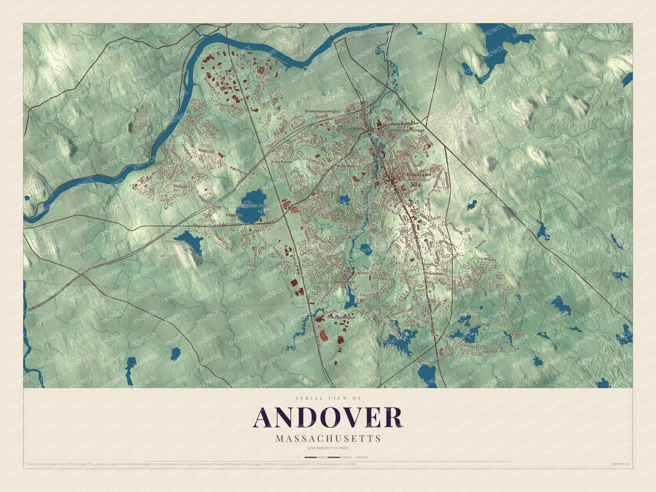
Click to explore a larger preview. The digital watermark does not appear on printed maps.
Names on this map
These names are printed on this map.
Places: Downtown, Ames Hill, Aslebe Hill, Boston Hill, Carmel Hill, Ames Pond, Bakers Meadow Pond, Lake Cochichewick, Haggetts Pond, Harold Parker State Forest, Ballardvale, Haggetts, Lowell Junction, Shawsheen Heights, Shawsheen Village, West Andover and West Parish.
Streets and roads: Main Street, Haverhill Street, South Main Street, North Main Street, Lowell Street, Union Street, River Road, Andover Street, Elm Street, Central Street, Poor Street, Woburn Street.
More street names, A to Z
Abbot Bridge Drive, Abbot Street, Acorn Drive, Alden Road, Algonquin Avenue, Alison Way, Argilla Road, Avery Lane, Bailey Road, Ballardvale Road, Bancroft Road, Bannister Road, Bartlet Street, Beacon Street, Bellevue Road, Birch Road, Blanchard Street, Blood Road, Boston Road, Boutwell Road, Brady Loop, Bridle Path Road, Brookside Drive, Brown Street, Brundrett Avenue, Burnham Road, Burton Farm Drive, Burtt Road, Candlewood Drive, Canterbury Street, Cardinal Lane, Carmel Road, Chandler Circle, Chandler Road, Chapel Avenue, Charlotte Drive, Cheever Circle, Chester Street, Chestnut Street, Chongris Circle, Christian Way, Clark Road, Colonial Drive, Corbett Street, Cornell Road, Countryside Way, County Road, Cross Street, Cullen Circle, Cutler Road, Dairy Lane, Dale Street, Dascomb Road, Enfield Drive, Evergreen Lane, Fairfax Drive, Farrwood Drive, Federal Street, Filter Bed Road, Forbes Lane, Forest Hill Drive, Fosters Pond Road, Francis Drive, Frontage Road, Gavin Circle, Glenmeadow Road, Glenwood Road, Gould Road, Granli Drive, Gray Road, Greenwood Road, Greybirch Road, Haggetts Pond Road, Harold Parker Road, Hearthstone Place, Hidden Road, Highland Road, High Plain Road, High Street, Holly Terrace, Holt Road, Iron Gate Drive, Iroquois Avenue, Ivy Lane, Jenkins Road, Jordyn Lane, Juliette Street, Juniper Road, Kathleen Drive, Keystone Way, Knollcrest Drive, Launching Road, Ledge Road, Linda Road, Lorraine Road, Lovejoy Road, Lowell Junction Road, Lupine Road, Marilyn Road, Marion Avenue, Meadow View Lane, Mohawk Road, Morton Street, Noel Road, Nollet Drive, North Street, Old Campus Road, Old River Road, Orchard Street, Oriole Drive, Osgood Street, Pauline Drive, Pendant Court, Penni Lane, Pettingill Road, Phillips Street, Pine Street, Pipers Glen, Pleasant Street, Poplar Terrace, Porter Road, Prospect Road, Quail Run, Railroad Avenue, Rattlesnake Hill Road, Red Spring Road, Regis Road, Rennie Drive, Reservation Road, Riverside Drive, River Street, Rockridge Road, Rocky Hill Road, Rutgers Road, Sagamore Drive, Salem Street, Sevilla Road, Shattuck Road, Shaw Drive, Sheridan Road, Smithshire Ests, Somerset Drive, Spring Grove Road, Stevens Street, Stinson Road, Summer Street, Suncrest Road, Sunset Rock Road, Swan Lane, Tewksbury Street, Trevino Circle, Tucker Road, Vine Street, Ward Hill Lane, Webster Street, Wellington Circle, West Hollow, West Knoll Road, Wethersfield Drive, White Oak Drive, Wild Rose Drive, Wildwood Road, Willard Circle, William Street, Windemere Drive, Woodland Road, Yardley Road, York Street.
See it on a wall
The Andover map as a framed print. Swipe for more.


Ponds and hills
Haggetts Pond, in the western part of town, is Andover’s reservoir, and water from the Merrimack River is added to it; a trail on an old railroad bed circles the pond. Lake Cochichewick is printed on the map too, though the lake itself lies in North Andover, which has drawn its drinking water from it for a century. Its name is said to come from a word meaning “dashing stream” or “place of the great cascade,” and in early Andover it was called the Great Pond. Ames Pond, Bakers Meadow Pond, Ames Hill, Aslebe Hill and Boston Hill are printed as well. The Shawsheen River, Fosters Pond, Pomps Pond and the Harold Parker State Forest are in town too. Start with Ballardvale, follow Main Street, Haverhill Street, South Main Street, North Main Street, Lowell Street or Union Street across town, then look outward toward Haggetts, Lowell Junction, Shawsheen Heights, Shawsheen Village and West Andover.
This Andover map is a fine fit for an office, library or den, and it can help teach children the geography and history of a town that sent 350 men toward Lexington and sheltered people on the road to freedom. It’s made for people who call Andover home, from Ballardvale to Shawsheen. KNOWOL created it in 2026, and it’s printed on museum quality archival paper. Zoom in on the preview above to explore the details, then click here to get your copy of the Andover, Massachusetts map.

Sources