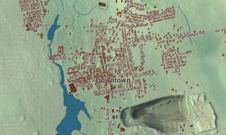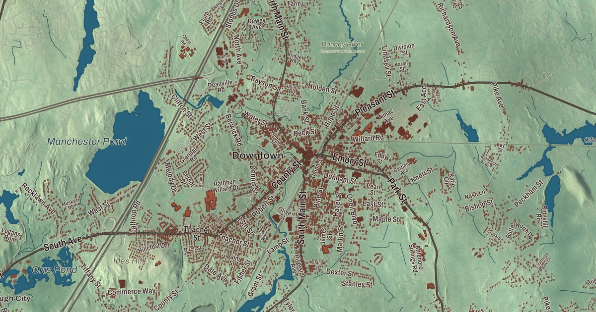
Ask anyone from Attleboro about the Christmas lights at La Salette or a school trip to Capron Park Zoo, and you’ll get a story. This map prints Park Street, Newport Avenue, Washington Street, Pleasant Street, South Avenue and Highland Avenue, with Manchester Pond, Orrs Pond, Hoppin Hill, Ides Hill, Oak Hill and Hemlock Island. Click here to purchase a print of this map for your wall.
Attleboro is in Bristol County, on the Rhode Island line next to Pawtucket and Cumberland.
This map was created by KNOWOL in 2026 from public survey data and given the look of an old atlas. Its relief comes from United States Geological Survey elevation data, and its streets and city line come from the Census Bureau. The ground here is gentle: Oak Hill, the city’s highest point, rises 249 feet, in the southern part of the city north of Oak Hill Avenue. Attleboro counted 46,461 people at the 2020 census, its highest count ever.
Named for Attleborough, England
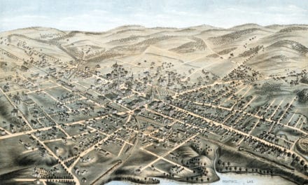
English settlers first arrived in 1634, on land deeded by Wamsutta. The City of Attleboro’s recorded history, in the Secretary of the Commonwealth’s list, also dates European settlement to 1634. From 1643 the area belonged to neighboring Rehoboth, until Attleboro was incorporated as its own town in 1694, named for Attleborough in England, where many of its settlers came from. The old town was bigger than today’s city: it took in Cumberland, Rhode Island, until 1747 and North Attleborough until 1887. It was incorporated as a city in 1914 and dropped the “-ugh” from its name, though North Attleborough kept it. One local story, told as a rumor on the city’s page, has George Washington stopping at the Hatch Tavern near the Woodcock Garrison House and trading a shoe buckle with Israel Hatch, a Revolutionary soldier who owned the garrison house.
The Jewelry City
Attleboro became known for jewelry in 1913, particularly through the L.G. Balfour Company, and it was once called “The Jewelry Capital of the World.” Balfour has since left the city, and the site of its plant is now the L.G. Balfour Riverwalk, a riverfront park beside the downtown. Jewelry makers still work here, among them the Guyot Brothers Company, started in 1904. The Attleboro Area Industrial Museum and the Women at Work Museum are two of the city’s four museums, and since 2017 the Jewelry City Steampunk Festival has played on the old name. In Hebronville, the mill complex and its worker housing make up the Hebronville Mill Historic District, added to the National Register of Historic Places in 1984; from the late 1920s to the early 1950s the mill reprocessed cotton waste brought in from 20 other company mills in Rhode Island and Massachusetts.
Two people born here went a long way. Horace Capron, born in Attleboro in 1804, worked in mills from boyhood, served as a Union officer and later advised Japan’s Hokkaido Development Commission; his page says his advice to plant wheat and rye in Hokkaido led to Sapporo Beer, and he helped give Sapporo its grid of city blocks. Cathy Berberian, born here in 1925 to Armenian parents, spent her first twelve years in Attleboro and became a mezzo-soprano based in Italy, known for her work with avant-garde composers, and the composer of Stripsody, a 1966 piece built from comic book sounds.
Lights, animals and a lake
In 1942 the Missionaries of La Salette bought 135 acres and a castle in Attleboro for a seminary. The shrine opened to the public in 1953 with a Christmas manger display, and its Festival of Lights has grown to 300,000 lights and about 250,000 visitors a year. The castle was lost to a fire in 1999, and a welcome center with a 600-seat concert hall opened in 2007; the city page says the shrine holds one of the largest museums of Nativity scenes in North America. Capron Park Zoo opened in 1937 on 8 acres of 33 that the Capron family gave, after local schoolchildren began raising money for it in 1925; today it keeps about 100 animals. Out at 1417 Park Street, the Massachusetts Audubon Society’s Oak Knoll Wildlife Sanctuary protects 75 acres on Lake Talaquega, with a colonial house from 1759 serving as its nature center, on land that once held a casino and hotel.
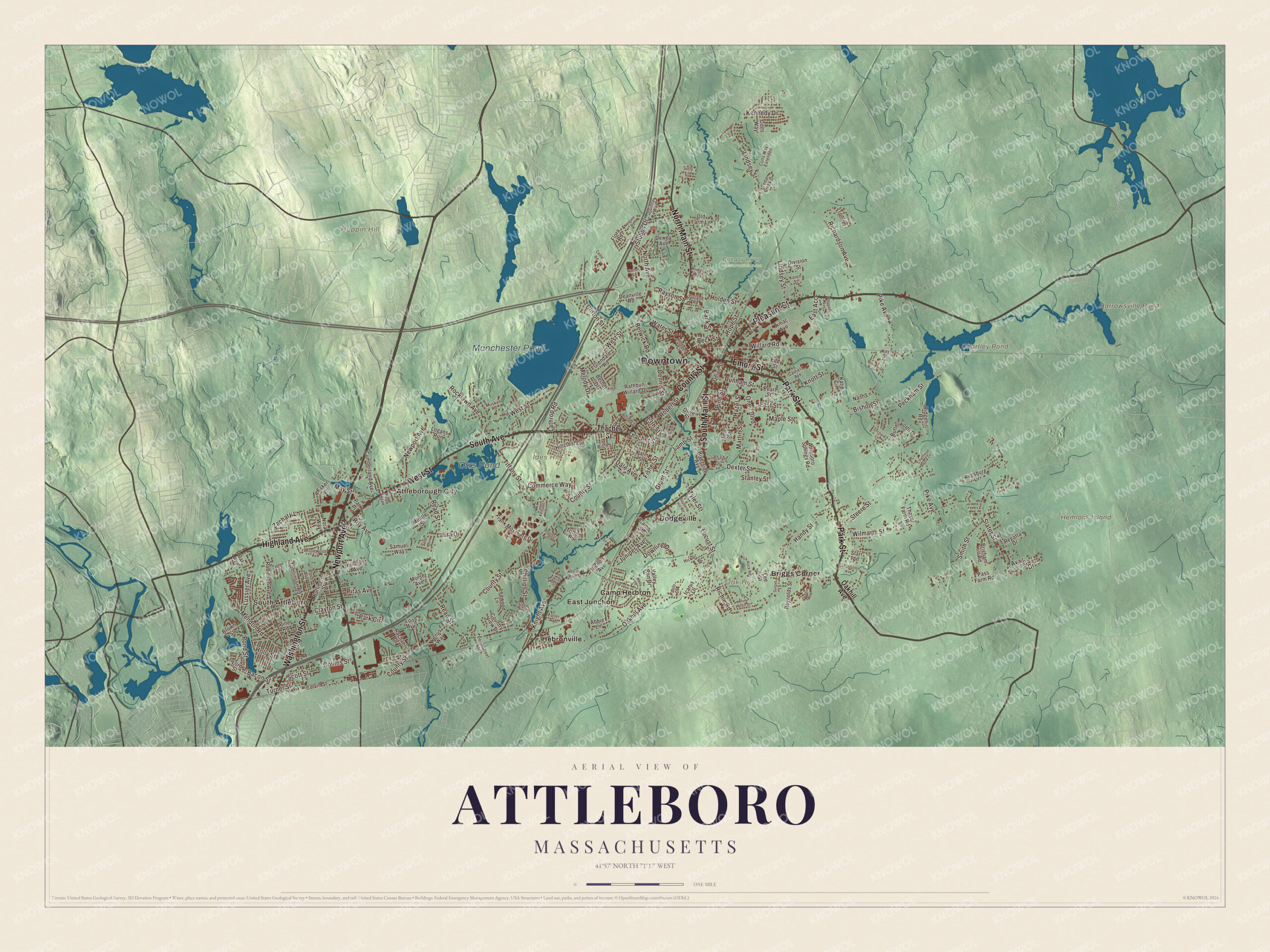
Click to explore a larger preview. The digital watermark does not appear on printed maps.
Names on this map
These names are printed on this map.
Places: Downtown, South Attleboro, Attleborough City, Hemlock Island, Hoppin Hill, Ides Hill, Oak Hill, Barrowsville Pond, Chartley Pond, Manchester Pond, Orrs Pond, Bungay River Conservation Area, Briggs Corner, Camp Herbron, Dodgeville, East Junction and Hebronville.
Streets and roads: Park Street, Newport Avenue, Washington Street, Pleasant Street, South Avenue, Highland Avenue, County Street, West Street, South Main Street, North Main Street, Emory Street, Oakhill Avenue.
More street names, A to Z
13th Street, Abbie Lane, Alex, Attleboro Springs Road, Augsburg Drive, Avalon Drive, Bacon Street, Bank Street, Bayberry Hill Road, Berndt Drive, Berwick Road, Birch Street, Bishop Street, Blue Heron Drive, Bridget Way, Brigham Hill Road, Brookside Drive, Brown Street, Buffington Street, Bushee Street, Butterworth Drive, Camp Street, Cedar Creek Drive, Cedar Road, Chartley Brook Lane, Clayton Street, Clifton Street, Collins Street, Colts Way, Colts Way Extended, Colvin Street, Commerce Way, Connor Court, Constitution Avenue, Country View Drive, Cumberland Avenue, Dale Avenue, Deanville Road, Dennis Street, Dewey Avenue, Dexter Street, Division Street, Downing Drive, Dublin Way, Dunham Street, East Acc, East Street, Eddy Street, Esker Lane, Fisher Street, Flora Road, Frank Mossberg Drive, Frontier Drive, Fuller Avenue, Garfield Avenue, Glendale Road, Grant Street, Green Drive, Handy Street, Hazel Street, Hickory Road, Hillcrest Avenue, Hillcrest Drive, Hodges Street, Holden Street, Holly Street, Hope Avenue, Hope Street, Icarus Lane, Ingraham Street, James Street, Jessie Avenue, John Williams Street, Juniper Avenue, Karen Street, Katie Circle, Kay Street, Kellcourt Drive, Kennedy Drive, Knight Avenue, Knott Street, Lamb Street, Lathrop Road, Laura Drive, Leawood Lane, Lee Street, Lindsey Street, Locust Street, Logans Run, Lois Court, Long Avenue, Lord Street, Lussier Avenue, Maple Street, Martin Street, May Street, Melody Drive, Mendon Road, Middle Street, Morse Avenue, Musket Road, Nash Lane, Nichols Avenue, Nick Rock Road, Nora Way, Norgate Road, North Avenue, Oak Avenue, Old Farm Lane, Olive Street, Oneil Boulevard, Orchard Lane, Palm Street, Paolo Drive, Park Circle, Park Place, Pass Farm Road, Patriot Street, Payson Street, Pearl Street, Peckham Street, Peck Street, Phillips Street, Pike Avenue, Pine Road, Pine Street, Pitas Avenue, Pleasant Avenue, Pond Street, Pond Street North, Quincy Way, Rachael Drive, Rand Avenue, Rathbun Willard Drive, Read Street, Regatta Drive, Reynolds Street, Richardson Avenue, Richie Road, Ridgehill Road, Riverside Avenue, Robert Street, Robinson Avenue, Rocklawn Avenue, Rosewood Avenue, Roy Avenue, Samuel Way, Scott Street, Seth Drive, Slater Street, Smith Street, Stanley Street, Starr Lane, Stead Avenue, Steere Street, Stobbs Drive, Sully Lane, Sunset Lane, Thacher Street, Thayer Farm Road, Thurber Avenue, Tiffany Street, Timac Avenue, Tomlinson Road, Totten Road, Turner Street, Tyler Street, Union Street, Upland Road, Valley Run Drive, Venus Way, Walton Street, Water Street, Wells Lane, Willard Road, Wilmarth Street, Zachary Lane.
Around the city on the map
Start in South Attleboro, just north of the Rhode Island line, a village once known as SouthGate. Its stretch of Washington Street is the road the village page also calls the Boston Post Road and U.S. Route 1. Wightman’s Diner grew there from a lunch wagon in 1923 and by the 1930s advertised itself as the “largest diner in the world,” before closing in 1946. The South Attleboro Lions Club on Highland Avenue hosts the yearly Lees Pond Festival. Manchester Pond is the reservoir the city page lists among its waters, along with the Ten Mile River and the Bungay River that feeds it. Chartley Pond sits across the city line in Chartley, a village of neighboring Norton, and its page says it formed from digging for iron in the 17th and 18th centuries. Listen closely as you cross town, too: the city sits on the line between two New England accents, with Boston speech on its eastern side and Providence speech on its western side. Barrowsville Pond, Orrs Pond, Hoppin Hill, Ides Hill and Hemlock Island are printed on the map as well. Then follow Park Street, Newport Avenue, Pleasant Street and South Avenue out toward Briggs Corner, Dodgeville, East Junction, Hebronville and Attleborough City.
Whether it hangs in an office, library or den, this Attleboro map can help teach children the geography and history of the Jewelry City. It’s made for people who call Attleboro home, from South Attleboro to Briggs Corner, and it shows the city as it looks today. Zoom in on the preview above to explore the details, then click here to get your copy of the Attleboro, Massachusetts map.

We made a map for every town and city in Massachusetts. Explore the complete Massachusetts map collection and find your town.
Sources
- Attleboro, Massachusetts, Wikipedia
- South Attleboro, Massachusetts, Wikipedia
- Hebronville Mill Historic District, Wikipedia
- Capron Park Zoo, Wikipedia
- Oak Knoll Wildlife Sanctuary, Wikipedia
- Chartley, Massachusetts, Wikipedia
- Horace Capron, Wikipedia
- Cathy Berberian, Wikipedia
- City and Town Incorporation and Settlement Dates, Secretary of the Commonwealth of Massachusetts (archived copy)