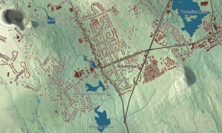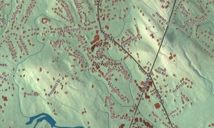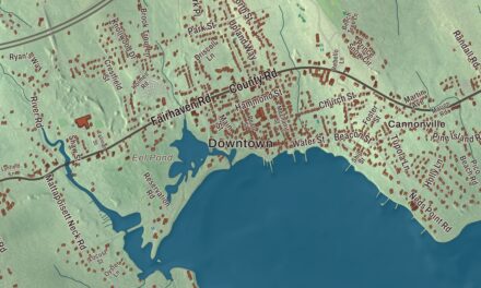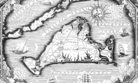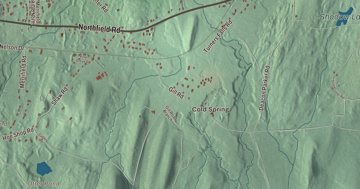
Bernardston is the last town on Interstate 91 and Route 5 before Vermont, and the Fall River runs down its valley between the mountains. This map prints Brattleboro Road, Northfield Road, Church Street, South Street, River Street and Hartwell Street, with Shadow Lake, Deane Pond, Otter Pond, Streeter Pond, Bald Mountain, East Mountain and Pond Mountain. Click here to purchase a print of this map for your wall.
Bernardston is in Franklin County, on the Vermont line north of Greenfield.
KNOWOL made this map in 2026 from public survey data and gave it the look of an old atlas. United States Geological Survey elevation data shades the mountains, and the Census Bureau supplies the roads and the town line. Bernardston sits in the Pioneer Valley at the edge of the Pocumtuck Range, covers 23.4 square miles, and had 2,102 people at the 2020 census.
Falls Fight Township
Bernardston began as Falls Fight Township, a frontier grant made in the 1730s to the families of soldiers who had fought under Captain Turner at the Battle of Turner’s Falls in 1676, during King Philip’s War. The proprietors set out to recruit 60 families, and in 1738 John Burke, Samuel Connable, Lieutenant Ebenezer Sheldon and Deacon Sheldon built the first four houses, of hewn logs. The Town of Bernardston’s recorded history, in the Secretary of the Commonwealth’s list, dates European settlement to that same year, 1738. Bernardston was incorporated as a town in 1762 and named for Francis Bernard, the royal governor at the time; early maps of Massachusetts show it as “Bernard’s Town.” Leyden was separated from it in 1784. The town remains part of Franklin County today.
A meeting house that moved four times
The Bernardston Congregational Unitarian Church at 49 Church Street started life in 1739 as the colonial meeting house on Huckle Hill. In 1772 townspeople moved it half a mile on capstans and rollers, by human power alone. In 1791 they took it apart and rebuilt it on Bald Mountain Road, and in 1825 they took it apart again and put it up where it stands now, at Church and Depot streets. An 1846 remodeling gave it its Greek Revival front and its belfry, and it joined the National Register of Historic Places in 1993. The congregation became Unitarian early in the 19th century, and in 1824 its Trinitarian members split off to form today’s Congregational church.
Bernardston was a farm town for much of its history, raising rye and corn and pressing cider, and the town page counts it among the first communities to make maple syrup. It also claims an odd distinction: it once sent what the town page calls the largest animal ever to the New York meat markets, a 2,473-pound ox nicknamed “Constitution” or “Hero.”
From Bernardston to the world
Jean Brooks Greenleaf, born in Bernardston and raised by a doctor father who believed in independence for his daughters, became a leader of the fight for women’s votes in New York. She led the New York State Woman’s Suffrage Association from 1890 to 1896, and under her leadership it brought its petition to the state constitutional convention of 1894. Bryant B. Brooks, born here in 1861, went west, ranched cattle and served as the seventh governor of Wyoming, from 1905 to 1911. Samuel Clesson Allen, also born in Bernardston, became a minister and a congressman, and ran for governor of Massachusetts for the Workingmen’s Party in 1833 and 1834.
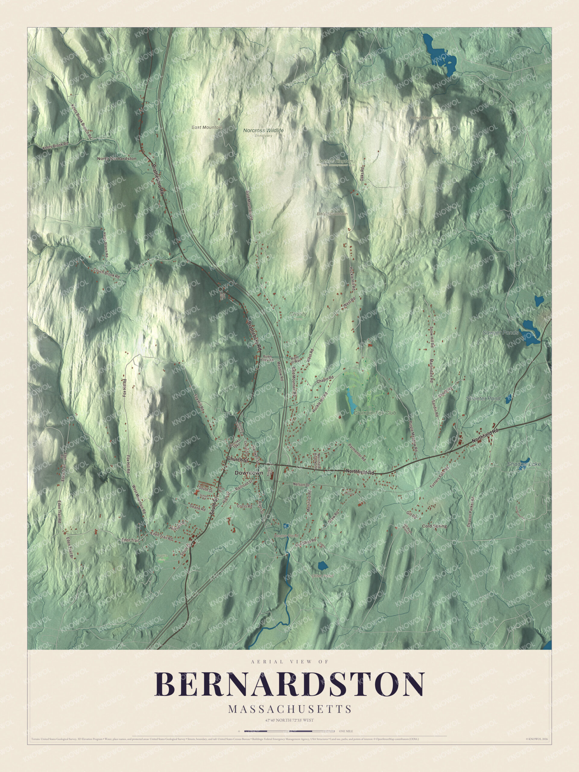
Click to explore a larger preview. The digital watermark does not appear on printed maps.
Names on this map
These names are printed on this map.
Places: Downtown, Cold Spring, North Bernardston, Bald Mountain, East Mountain, Pond Mountain, Deane Pond, Otter Pond, Sawyer Ponds, Shadow Lake, Streeter Pond, Charity Farm, Norcross Wildlife Sanctuary, Pratt's Field, Satan's Kingdom Wildlife Management Area and Crumpin-Fox Club.
Streets and roads: Northfield Road, South Street, Brattleboro Road, Church Street, River Street, Hartwell Street, West Mountain Road, Eden Trail Road, Deacon Parker Road, Bald Mountain Road, Huckle Hill Road, Fox Hill Road.
More street names, A to Z
Burke Flate Road, Burrows Turnpike, Burrows Turnpike Road, Center Street, Chapin Road, Couch Brook Road, Cross Road, Cutlery Road, Deane Road, Depot Street, Eden Road, Eden Trail, Eden Trail Br, Gill Road, Gill Road Branch, Haigis Branch Road, High Street, Hillcrest Drive, Hoe Shop Road, Keets Brook Branch Road, Keets Brook Road, Kringle Way, Martindale Road, Meadow Road, Merrifield Road, Merrifield Road North, Nelson Drive, Oaks Road, Parmenter Road, Pine Grove Drive, Purple Meadow Road, Railroad Street, Right of Way, Sandin Road, Saw Mill Lane, School Road, Shaw Road, Shedd Road, Snow Hill Road, Stonecutter Road, Turners Falls Road, West Road.
See it on a wall
The Bernardston map as a framed print. Swipe for more.


Around the map
The Fall River rises in Guilford, Vermont, flows south into Bernardston, and for nearly its whole length in town runs between U.S. Route 5 and Interstate 91 before it heads on toward the Connecticut River. Wildcat Mountain, West Mountain, Bald Mountain, East Mountain and Pond Mountain stand on either side of it, and part of the Satan’s Kingdom Wildlife Management Area reaches into town around Pond Mountain. Start at Cold Spring, then follow Brattleboro Road, Northfield Road, Church Street, South Street, River Street and Hartwell Street out toward North Bernardston. Deane Pond, Otter Pond, Shadow Lake, Streeter Pond, Bald Mountain, East Mountain and Pond Mountain are all printed on the map.
This Bernardston map makes a fine addition to an office, library or den, and it can help teach children the geography and history of a hill town on the Vermont line. It’s made for people who call Bernardston home, from Cold Spring to North Bernardston, and it shows the town as it looks today. Zoom in on the preview above to explore the details, then click here to get your copy of the Bernardston, Massachusetts map.

Sources
- Bernardston, Massachusetts, Wikipedia
- Bernardston Congregational Unitarian Church, Wikipedia
- Jean Brooks Greenleaf, Wikipedia
- Bryant B. Brooks, Wikipedia
- Samuel Clesson Allen, Wikipedia
- Fall River (Connecticut River tributary), Wikipedia
- City and Town Incorporation and Settlement Dates, Secretary of the Commonwealth of Massachusetts (archived copy)