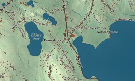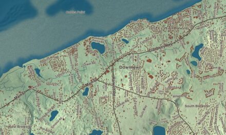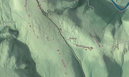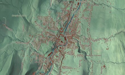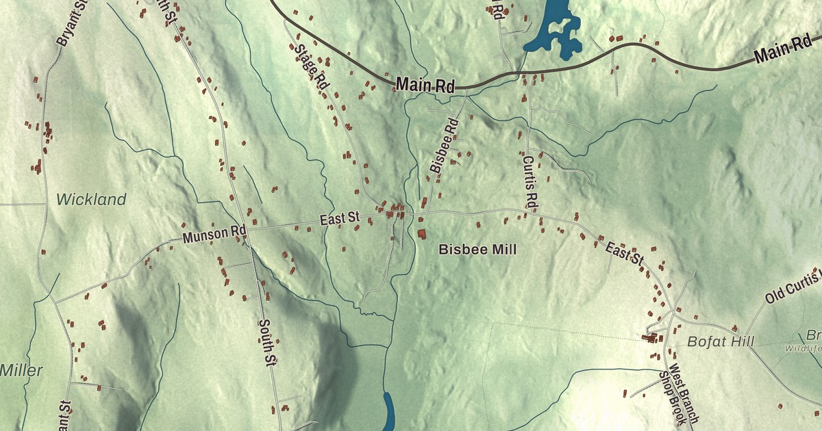
In Chesterfield the town center is a crossroads in the hills, with Main Road running east and west through it and the roads to the neighboring towns branching north and south. This map prints Main Road, North Road, South Street, Damon Pond Road, Willcutt Road and Ireland Street, with Damon Pond, Conwell Pond, Pine Island Lake, Hammond Pond, Battlecock Hill, Bofat Hill and Castle Hill. Click here to purchase a print of this map for your wall.
Chesterfield is a rural hill town in Hampshire County, 26 miles east of Pittsfield.
KNOWOL made this map in 2026 from public survey data and gave it the look of an old atlas. The relief comes from United States Geological Survey elevation data, and the roads and the town line come from the Census Bureau. Chesterfield covers 31.2 square miles, almost all of it land, and it lies nearly the same distance from the northern, southern and western state lines of Massachusetts. The town had 1,186 people at the 2020 census.
Farms spread over the hills
The Town of Chesterfield’s recorded history, in the Secretary of the Commonwealth’s list, dates European settlement to 1760. Chesterfield was incorporated as a town in 1762 and took its name from the Earl of Chesterfield, and it remains part of Hampshire County today. Its first settlers didn’t gather around a village green the way people did in the older towns to the east. They lived out on their own farms, scattered across the hills, and the village that did grow up sits near the middle of town, where Main Road, which is Route 143, meets the main roads north and south.
That village took shape after the Revolution. Its oldest houses date to the 1770s, one of them built partly around a structure from about 1768, and the Federal period houses along Main Road are well preserved. Since 2000 the center has been on the National Register as the Chesterfield Center Historic District, a rough T along Main Road and down South Road with the town hall, the library, the grange hall, the Congregational Church and a general store among its homes.
Merino wool, mills and summer people
Early Chesterfield was a farming town, and wool from Merino sheep was one of its main products. It also had sawmills, tanneries and cloth dressing mills, and in the early 1800s those businesses overtook farming and brought in a small immigrant population, mostly Irish. Most of the work was in other parts of town, West Chesterfield above all, while the center stayed the place for town business. In time most of that industry was gone, and by the start of the 20th century farming was coming back, side by side with a growing trade from summer residents.
Bisbee Mill
Bisbee Mill stands at 66 East Street on the Dead Branch of the Westfield River. Elisha Bisbee made its mill pond in 1823 and dug a canal to bring the river’s water to his new wood-frame mill, and five generations of Bisbees kept it working and kept adding onto it until it closed in the 1960s. Power from the water turned shafts, gears and belts on three floors, running a gristmill, a woodworking shop and a smithy, and a turbine from 1919 still sits in the wheel pit. The grounds also hold the site of the Damon sawmill, started in 1761. The Chesterfield Historical Society has run the place as the Bisbee Mill Museum since 1997, and it was added to the National Register in 2005.
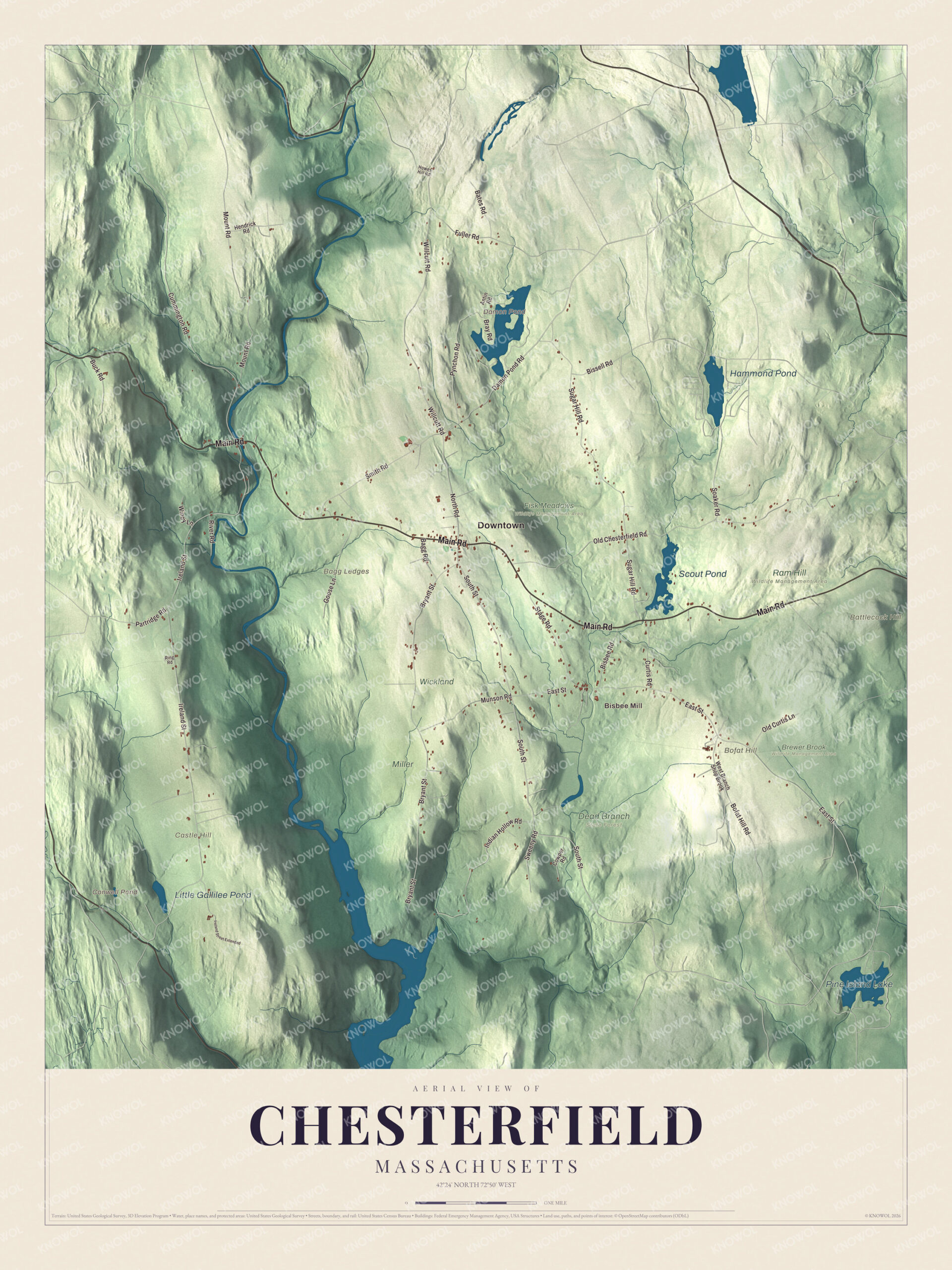
Click to explore a larger preview. The digital watermark does not appear on printed maps.
Names on this map
These names are printed on this map.
Places: Downtown, Bisbee Mill, Bagg Ledges, Battlecock Hill, Bofat Hill, Castle Hill, Conwell Pond, Damon Pond, Pine Island Lake, Hammond Pond, Scout Pond, Little Gallilee Pond, Brewer Brook Wildlife Management Area, Dead Branch State Forest, Fisk Meadows Wildlife Management Area, Miller, Ram Hill Wildlife Management Area and Wickland.
Streets and roads: Main Road, Damon Pond Road, North Road, South Street, Willcutt Road, Ireland Street, Cummington Road, East Street, Old Chesterfield Road, Bryant Street, Sugar Hill Road, Mount Road.
More street names, A to Z
Antin Road, Bagg Road, Bates Road, Bisbee Road, Bissell Road, Bofat Hill Road, Bray Road, Buck Road, Cowper Road, Curtis Road, Fuller Road, Goose Lane, Hendrick Road, Howes Hill Road, Indian Hollow Road, Ireland Street Extended, Munson Road, Old Curtis Lane, Partridge Road, Pynchon Road, Ring Road, River Road, Smith Road, Soaker Road, Stage Road, Sweeny Road, West Branch Shop Brook, Windy Lane.
See it on a wall
The Chesterfield map as a framed print. Swipe for more.


The gorge on the East Branch
Chesterfield Gorge, cared for by The Trustees of Reservations since 1929, is where the East Branch of the Westfield River runs between rock walls more than 30 feet high in places, first carved by glacial meltwater. A half-mile trail follows the top of the cliff through oak, pine and hemlock. Upstream, a pair of stone abutments is all that’s left of a bridge on the old post road between Boston and Albany. British soldiers marched over it toward Boston after Burgoyne’s defeat at Saratoga, and a flood swept it away in 1835. The river here is designated a National Wild and Scenic River, and trout fishermen come for the fly fishing.
Around the map
Start with Bisbee Mill, then follow Main Road, Damon Pond Road, North Road, South Street, Willcutt Road and Ireland Street across town. The East Branch of the Westfield River comes down out of Windsor and Cummington and flows southeast through Chesterfield on its way to Huntington, where it joins the other branches. Conwell Pond, Damon Pond, Pine Island Lake, Hammond Pond, Battlecock Hill, Bofat Hill and Castle Hill are all printed on the map.
A map of Chesterfield makes a handsome addition to an office, library or den, and it can help teach children the geography and history of a hill town their family knows. It’s made for people who call Chesterfield home, and it shows the town as it looks today. Zoom in on the preview above to explore the details, then click here to get your copy of the Chesterfield, Massachusetts map.

Sources