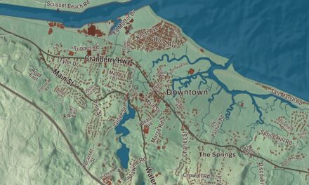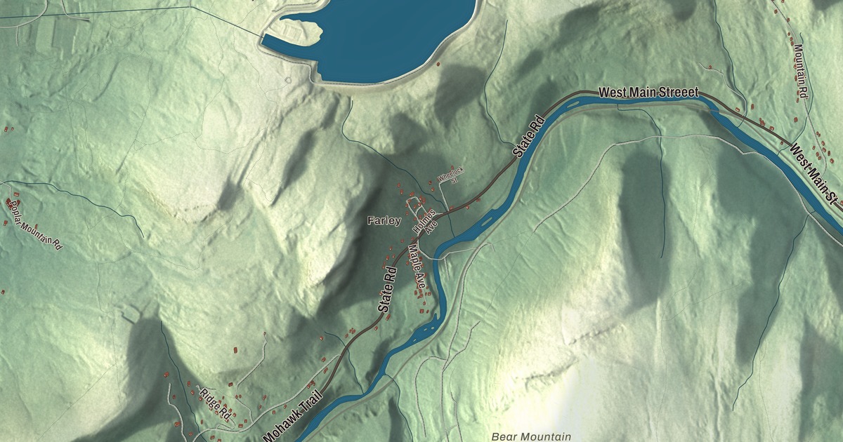
Most of Erving lives in a narrow strip along the Millers River, with the big wooded bulk of Northfield Mountain rising behind it. This map prints State Road, the French King Highway, West Main Street, East Main Street, Moore Street and Lester Street, with the Millers River, Laurel Lake, Bowens Pond, the Northfield Mountain Reservoir, Bear Mountain, Darby Hill and East Mineral Hill. Click here to purchase a print of this map for your wall.
Erving is in Franklin County.
KNOWOL made this map in 2026 from public survey data and gave it the look of an old atlas. The relief comes from United States Geological Survey elevation data, and the roads and the town line come from the Census Bureau. Erving covers 14.4 square miles of hilly, rugged ground, and most of its built-up land lies along the river. It shares the village of Millers Falls with Montague. The town had 1,665 people at the 2020 census.
John Erving’s farm
This valley was part of the land of the Pocomtuc people, whose villages included Squawkeag, in what is now Northfield, and Peskeompscut, in what is now Turners Falls. The place takes its name from John Erving, the first colonist in the area, whose farm covered what is now the town. The Town of Erving’s recorded history, in the Secretary of the Commonwealth’s list, dates European settlement to 1801, and Erving was incorporated as a town in 1838. Its page notes that it was close to the last unincorporated land in Massachusetts by then. The town remains part of Franklin County today.
Erving made its living from the woods. In the 1800s it was known for timber and grazing, and the town ran seven sawmills, two chair factories, a pail factory, a children’s carriage factory and a factory making bit braces. Its forests gave up railroad ties and telegraph poles in huge numbers, as many as 1,495,000 in a single year. Today the biggest employer in town is Erving Industries, a paper mill whose story reaches back to Holyoke’s days as the Paper City. Route 2 through Erving was routed to the north and straightened to avoid the paper mill next to the Millers River.
A mountain with a lake on top
Northfield Mountain and its peaks take up much of the northern two thirds of the town. The ridge stands at the meeting of the Connecticut and Millers rivers, and its high point is Hermit Mountain, where a recluse named John Smith made his home from 1857 to 1900. His spot, Hermit’s Castle, is now a state historic site. On top of the mountain sits the upper reservoir of the Northfield Mountain pumped-storage plant. Engineering studies began in 1964, and when the plant went into service in 1972 it was the largest of its kind in the world. Its powerhouse was built entirely underground, about 700 feet below the surface. When demand for power is low, it pumps water from the Connecticut River up to the reservoir, and when demand is high, it lets the water run back down through its turbines.
The mountain is a playground too. The Metacomet-Monadnock Trail, which runs 114 miles from the Connecticut line into New Hampshire, crosses the summit ridge, and climbers come for Farley Ledges, also called Rattlesnake Mountain. There are cross-country ski trails, hiking trails and a waterfall, Briggs Brook Falls, on its southeast side.
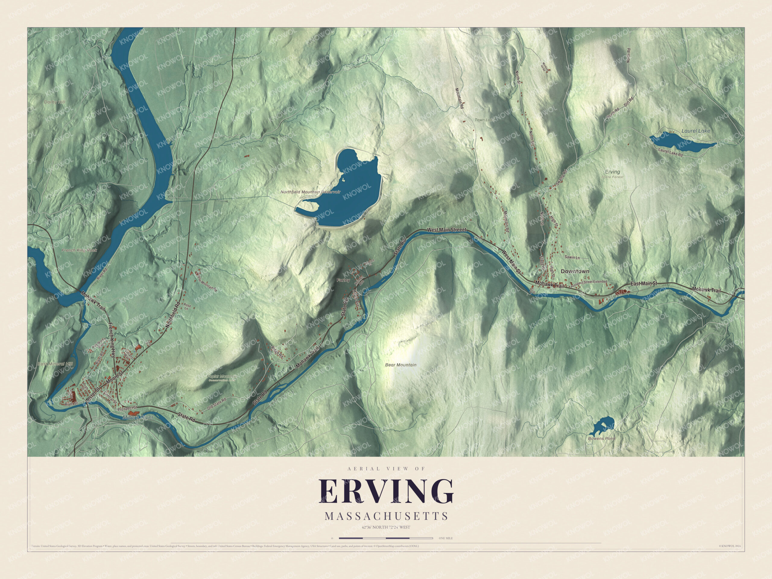
Click to explore a larger preview. The digital watermark does not appear on printed maps.
Names on this map
These names are printed on this map.
Places: Downtown, Farley, Bear Mountain, Darby Hill, East Mineral Hill, French King Rock, Bowens Pond, Northfield Mountain Reservoir, Laurel Lake, Millers River, Erving State Forest, Poplar Mountain Conservation Area and Town Land.
Streets and roads: Lester Street, State Road, Moore Street, West Main Street, French King Highway, East Main Street, Northfield Road, Mohawk Trail, West Main Streeet, Prospect Street, Laurel Lake Road, Swamp Road.
More street names, A to Z
Arch Street, Care Drive, Central Street, Dirt Road, Flagg Hl, High Street, Holmes Avenue, Lillians Way, Maple Avenue, Mountain Road, Murdock Hill Road, North Road, North Street, Old State Road, Poplar Mountain Road, Pratt Street, Prospect Street Extended, Pub Works Boulevard, Ridge Road, River Road, River Street, Rose Lane, Sawin Lane, Strachan Street, Wheelock Street.
Laurel Lake and the French King
North of the river, Erving State Forest centers on Laurel Lake, a 51-acre lake named for the mountain laurel that grows along its shore. The state began buying the land in 1920, when it was called Laurel Lake Forest, and the Civilian Conservation Corps worked there from 1933 to 1937, building the beach, the campground, a picnic area and a new dam. People have been swimming there since the 1930s, and the Laurel Trail behind the ranger station looks out toward Mount Monadnock.
On the west side of town, the French King Bridge carries Route 2 across the Connecticut River between Erving and Gill. It opened on September 10, 1932, and the American Institute of Steel Construction named it the “Most Beautiful Steel Bridge” of that year. The bridge takes its name from French King Rock, which you can see standing in the middle of the river. The Millers River is used for fishing and whitewater kayaking.
Around the map
Start with Farley, then follow Lester Street, State Road, Moore Street, West Main Street, the French King Highway and East Main Street across town. Find Laurel Lake in the state forest, the reservoir up on Northfield Mountain and French King Rock out in the river. Bowens Pond, the Northfield Mountain Reservoir, Laurel Lake, the Millers River, Bear Mountain, Darby Hill, East Mineral Hill and French King Rock are all printed on the map.
The Erving map makes a fine addition to an office, library or den, and it can help teach children the geography and history of a mill town on the Millers River. It’s made for people who call Erving home, from Farley to the French King Bridge, and it shows the town as it looks today. Zoom in on the preview above to explore the details, then click here to get your copy of the Erving, Massachusetts map.

We made a map for every town and city in Massachusetts. Explore the complete Massachusetts map collection and find your town.
Sources
- Erving, Massachusetts, Wikipedia
- Massachusetts Route 2, Wikipedia
- Northfield Mountain, Wikipedia
- Northfield Mountain (hydroelectricity facility), Wikipedia
- Metacomet-Monadnock Trail, Wikipedia
- Erving State Forest, Wikipedia
- French King Bridge, Wikipedia
- Millers River, Wikipedia
- City and Town Incorporation and Settlement Dates, Secretary of the Commonwealth of Massachusetts (archived copy)