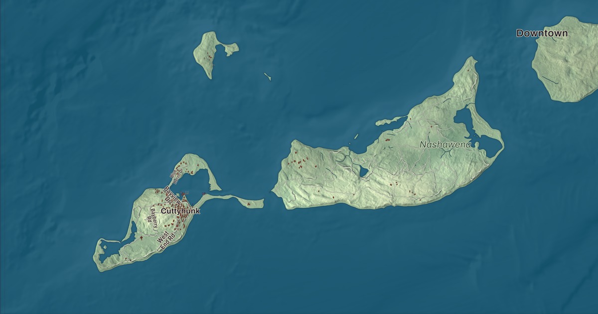
Gosnold is a town made of islands, strung out southwest from Cape Cod between Buzzards Bay and Vineyard Sound, and most of its year-round people live in one small village on Cuttyhunk. This map prints North Main Road, South Main Road, Main Road, Ridge Road, South Bluff Road and Rambler Path, with Bachelor Island and Blaney Pond. Click here to purchase a print of this map for your wall.
Gosnold is in Dukes County.
KNOWOL made this map in 2026 from public survey data and gave it the look of an old atlas. The relief comes from United States Geological Survey elevation data, and the roads and the town line come from the Census Bureau. Gosnold covers 140.2 square miles, but only 13.2 of them are land and the rest is water. It takes in the Elizabeth Islands, among them Nonamesset, Uncatena, Naushon, Pasque, Nashawena, Penikese and Cuttyhunk, and the town page says it has the longest distance between points within its limits of any town in Massachusetts. With 70 people at the 2020 census, it was the least populous town in the state.
Gosnold’s landing
The Wampanoag knew these islands first. They didn’t settle on them for good, but came in summer to hunt, fish and garden, and the islands’ names come from their language. Arrowheads and stone tools still turn up now and then. Cuttyhunk’s name grew out of the Wampanoag Pocutohhunkunnoh, meaning Lands End, and Nashawena means “middle island.”
In 1602 the English explorer Bartholomew Gosnold reached the islands, among the first Europeans to learn of them. He and his crew tried to set up a trading post on Cuttyhunk to trade with the Native people, and the town page calls it the first attempt by Europeans to do so. They stayed only a few weeks before Gosnold sailed home. Cuttyhunk’s page says that brief outpost, where the crew gathered sassafras, is arguably the first English settlement in New England. A monument to Gosnold’s 1602 landing stands on a small island in West End Pond, at Cuttyhunk’s western end, and the islands were later named for Queen Elizabeth I.
The Town of Gosnold’s recorded history, in the Secretary of the Commonwealth’s list, dates European settlement to 1641, the year Thomas Mayhew Sr. bought the islands. The Wampanoag claimed them until 1658, when their sachem gave the deed to Mayhew. The islands, Martha’s Vineyard and Nantucket made up a Dukes County of New York from 1683 until they passed to the new Province of Massachusetts Bay in 1691. Gosnold was part of Chilmark until it was incorporated as a town in 1864. The town remains part of Dukes County today.
Cuttyhunk and the other islands
Cuttyhunk is the outermost of the Elizabeth Islands, about a mile and a half long and three-quarters of a mile wide, with a large natural harbor at its east end. It has about 10 year-round residents, its page says, and around 400 in summer. Half of the main part of the island is set aside as a nature preserve, home to piping plovers, least terns and oystercatchers. Its highest point is Lookout Hill, at 154 feet, where the Coast Guard built lookout bunkers in 1941. The island’s lighthouse, first lit in 1823, is gone: the last tower was torn down in 1947, and only a stone oil house remains.
Naushon is the largest of the Elizabeth Islands, seven miles long, and it belongs to the Forbes family, who own every island in the town except Cuttyhunk and Penikese. Penikese has its own place in the history of science. In 1873 the naturalist Louis Agassiz opened a school there where students would study nature instead of books, and after it closed, some of its former students opened the Marine Biological Laboratory in Woods Hole in 1888. Today Penikese belongs to the Commonwealth and is mostly a bird sanctuary.
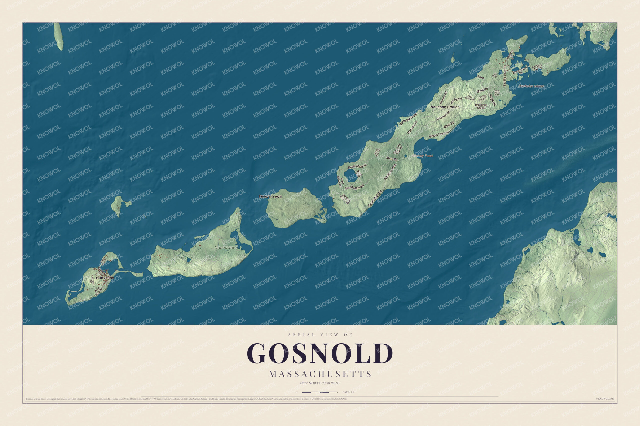
Click to explore a larger preview. The digital watermark does not appear on printed maps.
Names on this map
These names are printed on this map.
Places: Downtown, Bachelor Island, Blaney Pond, Nashawena, Cuttyhunk and Naushon Station.
Streets and roads: South Main Road, Fern, North Main Road, Rambler Path, Ridge Road, South Bluff Road, Main Road, North Shore Road, Memory Lane, Imogenes Cradle, Pond Path, Bowdoiw Road.
More street names, A to Z
Bathing Beach Road, Bayberry Road, Bayview Drive, Billiard Table Road, Blue Heron Drive, Eagle Hollow Road, Gap in the Wall Road, Hale Path, Hill Top Road, Lackeys Bay Road, Memory Road, Nonamesset Road, Rams Head Road, Rusel Road, Trotting Course, Uncatena Road, West Beach Road, West End Road, Western Hills Path.
See it on a wall
The Gosnold map as a framed print. Swipe for more.


Around the map
Start with Cuttyhunk, then follow South Main Road, North Main Road, Rambler Path, Ridge Road, South Bluff Road and Main Road across town. Look outward toward Naushon Station. Bachelor Island and Blaney Pond are both printed on the map, and every one of those names is right there on the artwork.
The Gosnold map makes a fine addition to an office, library or den, and it can help teach children the geography and history of the islands where Bartholomew Gosnold came ashore. It’s made for people who call Gosnold home, from Cuttyhunk to Naushon, and it shows the town as it looks today. Zoom in on the preview above to explore the details, then click here to get your copy of the Gosnold, Massachusetts map.

Sources
- Gosnold, Massachusetts, Wikipedia
- Elizabeth Islands, Wikipedia
- Cuttyhunk Island, Wikipedia
- Cuttyhunk Light, Wikipedia
- Nashawena Island, Wikipedia
- Naushon Island, Wikipedia
- Penikese Island, Wikipedia
- City and Town Incorporation and Settlement Dates, Secretary of the Commonwealth of Massachusetts (archived copy)