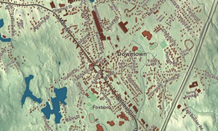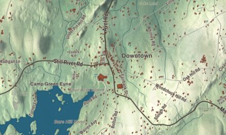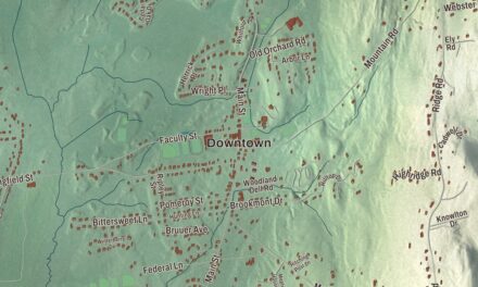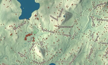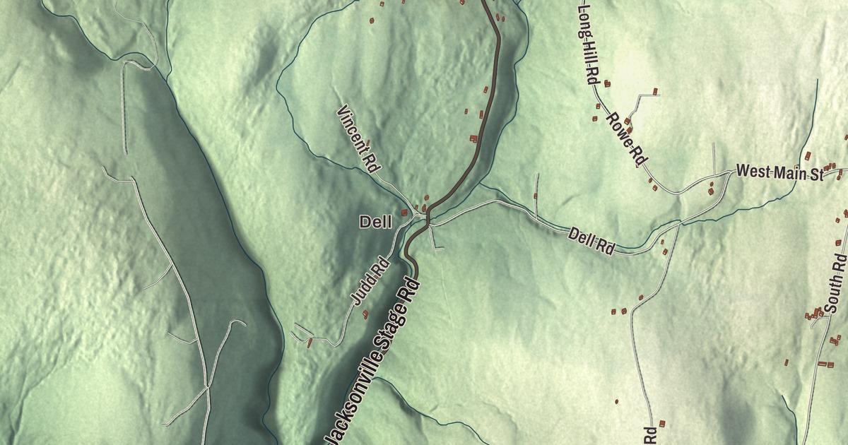
Heath is a hilltop town on the Vermont line, where the old center gathers at the junction of South Road and the two Main Streets. This map prints Jacksonville Stage Road, West Main Street, East Main Street, Rowe Road, Long Hill Road and South Road, with Burnt Hill, Bald Mountain, Clark Hill and the Davenport Brook Reservoir. Click here to purchase a print of this map for your wall.
Heath is in Franklin County.
KNOWOL made this map in 2026 from public survey data and gave it the feel of a vintage atlas. United States Geological Survey elevation data shapes the hills, and the roads and the town line come from the Census Bureau. Heath covers 24.9 square miles in the northeastern Berkshires, bordered by Whitingham and Halifax, Vermont, to the north, and it had 723 people at the 2020 census. Burnt Hill, in the southeast, is its highest point, and the West Branch of the North River starts near the state line and runs southeast toward Colrain.
Charlemont Hill
The first European settlement here was Fort Shirley, built in 1744 to guard the Massachusetts frontier, and permanent settlers came in the 1750s. The Town of Heath’s recorded history, in the Secretary of the Commonwealth’s list, dates European settlement to 1765, when the land was still part of Charlemont and the area was known as Charlemont Hill. Colonel Hugh Maxwell, a local man who had been badly wounded at Bunker Hill, went to the General Court in 1784 to win a division from Charlemont. He suggested naming the new town for his old commanding officer and friend, General William Heath. Heath was incorporated as a town in 1785, on February 14, a few days after its neighbor Rowe. The town remains part of Franklin County today.
In 1789 the town placed its meetinghouse and common on land of Benjamin Maxwell, and that choice set the center. The Heath Center Historic District gathers around the junction where South Road comes in from the south, East Main Street and Bray Road from the east, Ledge Road from the north and West Main Street from the west. It holds well-preserved Georgian and Federal houses, the Greek Revival Old Town Hall of 1835, the Union Evangelical Church and the Methodist Church of 1872. The district was listed on the National Register in 2007 and enlarged in 2017.
The Leavitts and the road to freedom
Chloe Maxwell, the colonel’s daughter, married Roger Leavitt, a landowner, state legislator and abolitionist. Their son Joshua Leavitt, born in Heath in 1794, graduated from Yale and was the first lawyer to practice in Heath before he turned to the ministry. He became an editor of The Emancipator, helped found the Amistad Committee in 1839 to raise money for the defense of the Africans who had taken over the ship Amistad, and published The Christian Lyre in 1830. The town page says members of the Leavitt family of Heath and Charlemont kept stops on the Underground Railroad and sheltered people escaping slavery, among them Basil Dorsey, who lived on Roger Leavitt’s farm in Charlemont for about six years.
Heath farmed and ran small industries through the 1800s. One of the more unusual was a straw hat trade, with palm fronds brought up from the Carolinas and woven by women and children in their spare time. Each year the Heath Agricultural Society holds the Heath Fair, a small farm fair, two weekends before Labor Day.
Summer people and a prayer
Heath drew summer residents too, among them the Supreme Court justice Felix Frankfurter and the theologian Reinhold Niebuhr. The town page says Niebuhr first delivered the Serenity Prayer in Heath in 1934. The Serenity Prayer’s own page tells it differently: Niebuhr presented it in a 1943 sermon at the Heath Evangelical Union Church, his wife and daughter later said that was when it was first written and used, and earlier versions are traced to 1932 and 1933. Jackson Temple, a justice of the California Supreme Court, was born in Heath.
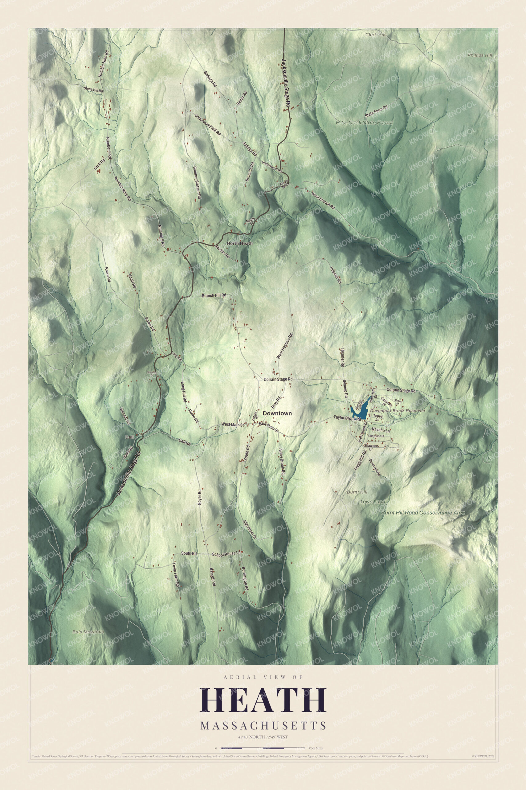
Click to explore a larger preview. The digital watermark does not appear on printed maps.
Names on this map
These names are printed on this map.
Places: Downtown, Dell, North Heath, Bald Mountain, Burnt Hill, Clark Hill, Phillips Hill, Davenport Brook Reservoir, H.O. Cook State Forest, Burnt Hill Road Conservation Area and Town Land.
Streets and roads: Jacksonville Stage Road, West Main Street, East Main Street, Rowe Road, Long Hill Road, South Road, Dell Road, Taylor Brook Road, School House Lane, State Farm Road, Bassett Road, Swamp Road.
More street names, A to Z
Avery Brook Road, Bellor Road, Branch Hill Road, Bray Road, Brunelle Road, Burnt Hill Road, Burrington Road, Cascade Drive, Cheyenne Street, Colrain Stage Road, Flagg Hill Road, Groll Road, Hosmer Road, Ingraham Drive, Jacobs Road, Judd Road, Knott Road, Ledges Road, Long Hill, Maple Lane, Modoc Drive, Navaho Lane, Number 9 Road, Number Nine Road, Papoose Lake Drive, Royer Road, Sadoga Road, Shawnee Drive, Sherman Drive, Stone Hill Road, Sumner Stetson Road, Tepee Lane, Town Farm Road, Underwood Hill Road, Underwood Road, Vincent Road, Waterfalls Drive, West Branch Road, West Brook Drive, West Hosmer Road.
Around the map
Start with Dell. Follow Jacksonville Stage Road, West Main Street, East Main Street, Rowe Road, Long Hill Road and South Road across town, then look outward toward North Heath. The Davenport Brook Reservoir, H.O. Cook State Forest, the Burnt Hill Road Conservation Area, Bald Mountain, Burnt Hill and Clark Hill are all printed on the map, and every one of those names is right there on the artwork. Route 8A runs up from Charlemont to the Vermont line, where it becomes Vermont Route 8A.
The Heath map makes a handsome addition to an office, library or den, and it can help teach children the geography and history of a hill town on the Vermont border. It’s made for people who call Heath home, from Dell to North Heath, and it shows the town as it looks today. Zoom in on the preview above to explore the details, then click here to get your copy of the Heath, Massachusetts map.

We made a map for every town and city in Massachusetts. Explore the complete Massachusetts map collection and find your town.
Sources