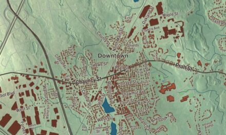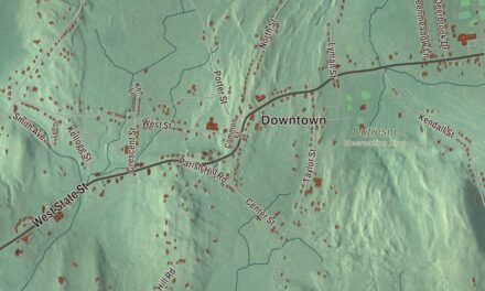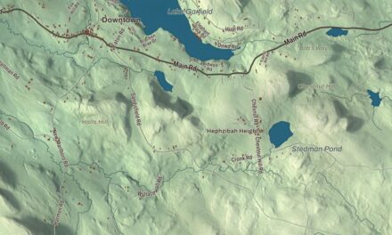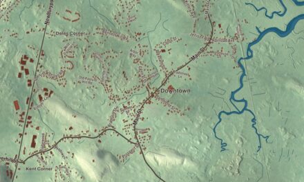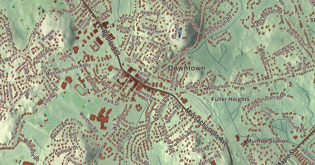
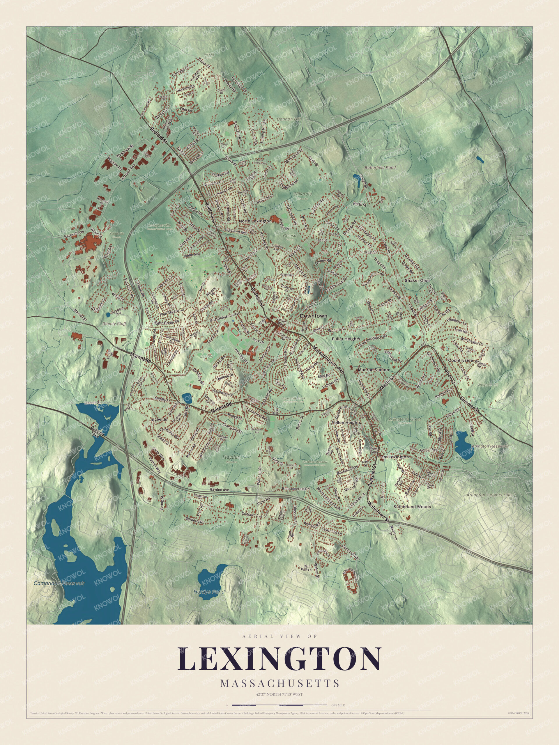
Every Lexington kid knows the triangle where Massachusetts Avenue meets Bedford Street, with the Battle Green, the Minuteman statue and Buckman Tavern across the road, and the Old Belfry up on its hill to the south. This map prints Massachusetts Avenue, Bedford Street, Marrett Road, Lowell Street, Summer Street and Pleasant Street, with Belfry Hill, Butterfield Pond, Hardys Pond and Dunback Meadow. Click here to purchase a print of this map for your wall.
Lexington is in Middlesex County.
KNOWOL made this map in 2026 from public survey data and gave it the look of a vintage atlas. The hills and meadows come from United States Geological Survey elevation data, and the Census Bureau supplied the streets and the town line. Lexington covers 16.5 square miles about 10 miles from downtown Boston and had 34,454 people at the 2020 census. It borders Burlington, Woburn, Winchester, Arlington, Belmont, Waltham, Lincoln and Bedford, and it has more area than any of them. Vine Brook runs through town on its way to the Shawsheen River, and it gave water to many kinds of mills in colonial days and to farm irrigation in the 1900s.
Cambridge Farms
Native people lived here for thousands of years, and a woodland-era site near Loring Hill, south of the center, shows it. In 1639 the Massachusetts General Court bought the land, then part of Cambridge, from the Squaw Sachem of Mistick. The Town of Lexington’s recorded history, in the Secretary of the Commonwealth’s list, dates European settlement to 1640, and the town page puts the first farms at about 1642. The settlement became a separate parish called Cambridge Farms in 1691, with its own church and minister, and Lexington was incorporated as a town in 1713, when it took its present name. Some say it honors Lord Lexington, an English peer; others trace it to Lexington in Nottinghamshire, now spelled Laxton. The town remains part of Middlesex County today.
In 1711 the townspeople raised money by subscription to buy an acre and a half for a militia training ground, and that triangle, bounded by Massachusetts Avenue, Bedford Street and Harrington Road, is the common known today as the Battle Green. Buckman Tavern, built about 1709 or 1710, stands across Bedford Street. It was the first public house in Lexington and a favorite gathering place for the militia on training days.
April 19, 1775
On the night of April 18, John Hancock and Samuel Adams were staying with the Reverend Jonas Clarke in the house Hancock’s grandfather had built in 1738, the house where young John spent part of his boyhood. Paul Revere and William Dawes rode in separately around midnight to warn them that British troops were on the march toward Concord. Between one and two in the morning the bell in the belfry called the militia to the common, and when a scout reported the British just over a mile away it rang again. Many of the roughly 77 men of the Lexington company under Captain John Parker waited in Buckman Tavern, then formed two lines on the green as the British arrived soon after sunrise. Someone, still unknown, fired a shot, and the musket fire that followed opened the American Revolutionary War. Eight Lexington militiamen were killed and ten wounded before the British marched on to Concord.
The green is a National Historic Landmark today, and it’s one of only eight places in the United States where the flag is authorized by law to fly around the clock. The statue representing Captain Parker, by Henry Hudson Kitson, has stood at its eastern corner since 1900. At the western corner, the granite Revolutionary Monument of 1799 is where seven of the eight fallen militiamen were reburied in 1835, and the town page calls it the nation’s oldest standing war memorial. Every Patriots’ Day the town reenacts the battle on the green, and the Old Belfry rings in the day at 5:30 in the morning. Hancock and Clarke’s house, Buckman Tavern and Munroe Tavern still stand, and Minute Man National Historical Park carries the story along the Battle Road through Lexington, Lincoln and Concord.
A town that kept growing
For decades after the war Lexington stayed a farming town that sent much of its produce to Boston. A rail line served it from 1846 until 1981, and the publisher D.C. Heath was founded at 125 Spring Street in 1885. Architects later built modernist neighborhoods such as Six Moon Hill, Five Fields and Peacock Farm, and Peacock Farm, designed by Walter Pierce and built between 1952 and 1958, is on the National Register. Wilson Farm has run a farm stand since 1884, and efforts to save the Jonathan Harrington house led to the founding of the Society for the Preservation of New England Antiquities, now Historic New England.
Click to explore a larger preview. The digital watermark does not appear on printed maps.
Names on this map
These names are printed on this map.
Places: Downtown, Sutherland Woods, Arlington Heights Hills, Bannon Hill, Belfry Hill, Bloody Bluff, Arlington Reservoir, Butterfield Pond, Cambridge Reservoir, Hardys Pond, Arlington's Great Meadows, Chiesa Farm, Dunback Meadow Conservation Area, Hayden Woods, Katahdin Woods, Lincoln Park, Meagherville Conservation Area, Upper Vine Brook Conservation Area, Whipple Hill, Willard's Woods, Wright Farm, Countryside, East Lexington, Follen Heights, Fuller Heights, Idylwide, Munroe Station, North Lexington and Shaker Glen.
Streets and roads: Marrett Road, Massachusetts Avenue, Lowell Street, Summer Street, Pleasant Street, Bedford Street, Watertown Street, Maple Street, Marrett Street, Moreland Avenue, Winchester Drive, East Street.
More street names, A to Z
Adams Street, Aerial Street, Alcott Road, Allen Street, Angier Road, Appletree Lane, April Lane, Asbury Street, Augustus Road, Bacon Street, Baker Avenue, Balfour Street, Ballard Terrace, Barberry Road, Barrymeade Drive, Bartlett Avenue, Baskin Road, Bates Road, Battle Green Road, Benjamin Road, Bernard Street, Bertwell Road, Birch Hill Lane, Blake Road, Blossomcrest Road, Blossom Street, Blueberry Lane, Bowser Road, Bow Street, Brandon Street, Brent Road, Bridge Street, Bridle Path, Brigham Road, Brookside Avenue, Brown Road, Bryant Road, Buckman Drive, Burlington Street, Burroughs Road, Butterfield Road, Carley Road, Carol Lane, Carriage Drive, Cart Path Lane, Carville Avenue, Cary Avenue, Cedar Street, Centre Street, Childs Road, Circle Road, Clarke Street, Clematis Road, Cliffe Avenue, Colony Road, Concord Avenue, Concord Turnpike, Constitution Road, Cooke Road, Coolidge Avenue, Crosby Road, Curve Street, Cutler Farm Road, Dane Road, Davis Road, Dawes Road, Demar Road, Dewey Road, Diamond Road, Douglas Road, Downing Road, Drummer Boy Way, Dunham Street, East Emerson Road, Eaton Road, Edison Way, Eldred Street, Eliot Road, Ellison Road, Emerson Gardens Road, Emerson Road, Ewell Avenue, Fairbanks Road, Fairfield Drive, Fairland Street, Fairlawn Avenue, Fair Oaks Terrace, Farmcrest Avenue, Fern Street, Field Road, Fifer Lane, Fiske Road, Fletcher Avenue, Follen Road, Forbes Road, Forest Street, Fottler Avenue, Fox Run Lane, Freemont Street, Frost Road, Garfield Street, Gleason Road, Glen Road, Goffe Road, Gould Road, Grandview Avenue, Grant Street, Grapevine Avenue, Grassland Street, Greeley Village, Green Lane, Grove Street, Hadley Road, Hancock Avenue, Hancock Street, Harding Road, Hartwell Avenue, Hartwell Place, Hathaway Road, Hayden Avenue, Hayes Avenue, Hayward Avenue, Heritage Drive, Highland Avenue, Hill Street, Hinchey Road, Holmes Road, Hudson Road, Ingleside Road, Ivan Street, James Street, John Poulter Road, Joseph Comee Road, Juniper Place, Kendall Road, Kimball Road, Kitson Park Drive, Laconia Street, Lake Street, Laurel Street, Lawn Avenue, Lawrence Lane, Ledgelawn Avenue, Leonard Road, Lexington Avenue, Lexington Ridge Drive, Liberty Avenue, Lillian Road, Lincoln Street, Locke Lane, Locust Avenue, Lois Lane, Longfellow Road, Loring Road, Maguire Road, Main Campus Drive, Malt Lane, Manor Terrace, Marshall Road, Mason Street, Meriam Street, Middleby Road, Middle Street, Milk Street, Moon Hill Road, Morgan Road, Munroe Road, Myrna Road, Nickerson Road, North Emerson Road, North Street, Oakland Street, Oakmount Circle, Oak Street, Opi Circle, Orchard Lane, Outlook Drive, Oxbow Road, Paddock Lane, Page Road, Park Drive, Parker Street, Partridge Road, Patriots Drive, Patriot Way, Patterson Road, Paul Revere Road, Peachtree Road, Pelham Road, Percy Road, Pheasant Lane, Philip Road, Phinney Road, Pine Knoll Road, Piper Road, Potter Pond, Preston Road, Redcoat Lane, Reed Street, Revere Street, Richard Road, Ridge Road, Rindge Avenue, Robinson Road, Rolfe Road, Ross Road, Royal Circle, Rumford Road, Russell Road, Saddle Club Road, Sanderson Road, School Street, Scott Road, Sedge Road, Shade Street, Sherburne Road, Shire Way, Simonds Road, Skyview Road, Slocum Road, Smith Avenue, Solomon Pierce Road, Somerset Road, Spencer Street, Spring Street, Stedman Road, Stevens Road, Stratham Road, Sullivan Street, Summit Road, Sunny Knoll Terrace, Suzanne Road, Sylvia Street, Taft Avenue, Tarbell Avenue, Thoreau Road, Tidd Circle, Todd Road, Tower Road, Tufts Road, Turning Mill Road, Tyler Road, Utica Street, Vaille Avenue, Valley Road, Vinebrook Road, Vine Street, Volunteer Way, Wachusett Drive, Walnut Street, Waltham Street, Ward Street, Webb Street, Webster Road, Weston Street, Westview Street, Westwood Road, Whipple Road, Whittier Road, Williams Drive, Wingate Road, Winston Road, Winter Street, Winthrop Road, Woburn Street, Woodcliffe Road, Woodpark Circle, Wood Street, Worthen Road, Worthen Road East, Wyman Road, York Street, Young Street.
See it on a wall
The Lexington map as a framed print. Swipe for more.


Around the map
Start with Sutherland Woods. Follow Marrett Road, Massachusetts Avenue, Lowell Street, Summer Street, Pleasant Street and Bedford Street across town. Then look outward toward Countryside, East Lexington, Follen Heights, Fuller Heights and Idylwide. Marrett Square, at Marrett Road and Waltham Street, has a little shopping and dining, and the Old Belfry stands on Belfry Hill just south of the green. Arlington Reservoir, Butterfield Pond, Cambridge Reservoir, Hardys Pond, Dunback Meadow, Bannon Hill, Belfry Hill and Bloody Bluff are all printed on the map. Arlington Reservoir lies within the borders of neighboring Arlington.
The Lexington map makes a fine addition to an office, library or den, and it can help teach children the geography and history of the town where the Revolution began. It’s made for people who call Lexington home, from East Lexington to Countryside, and it shows the town as it looks today. Zoom in on the preview above to explore the details, then click here to get your copy of the Lexington, Massachusetts map.

Sources
- Lexington, Massachusetts, Wikipedia
- Lexington Battle Green, Wikipedia
- Buckman Tavern, Wikipedia
- Hancock-Clarke House, Wikipedia
- Old Belfry, Wikipedia
- Minute Man National Historical Park, Wikipedia
- Arlington, Massachusetts, Wikipedia
- City and Town Incorporation and Settlement Dates, Secretary of the Commonwealth of Massachusetts (archived copy)