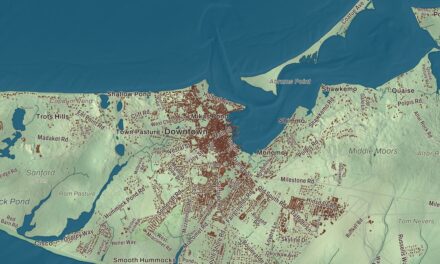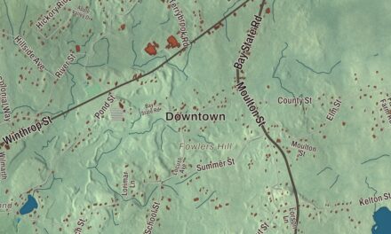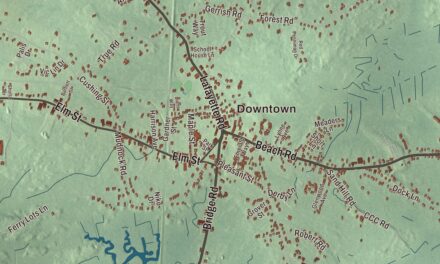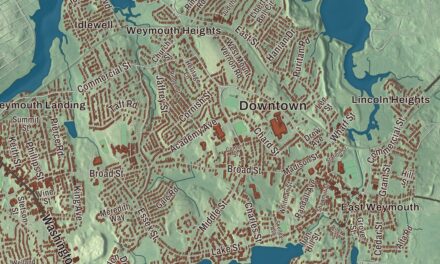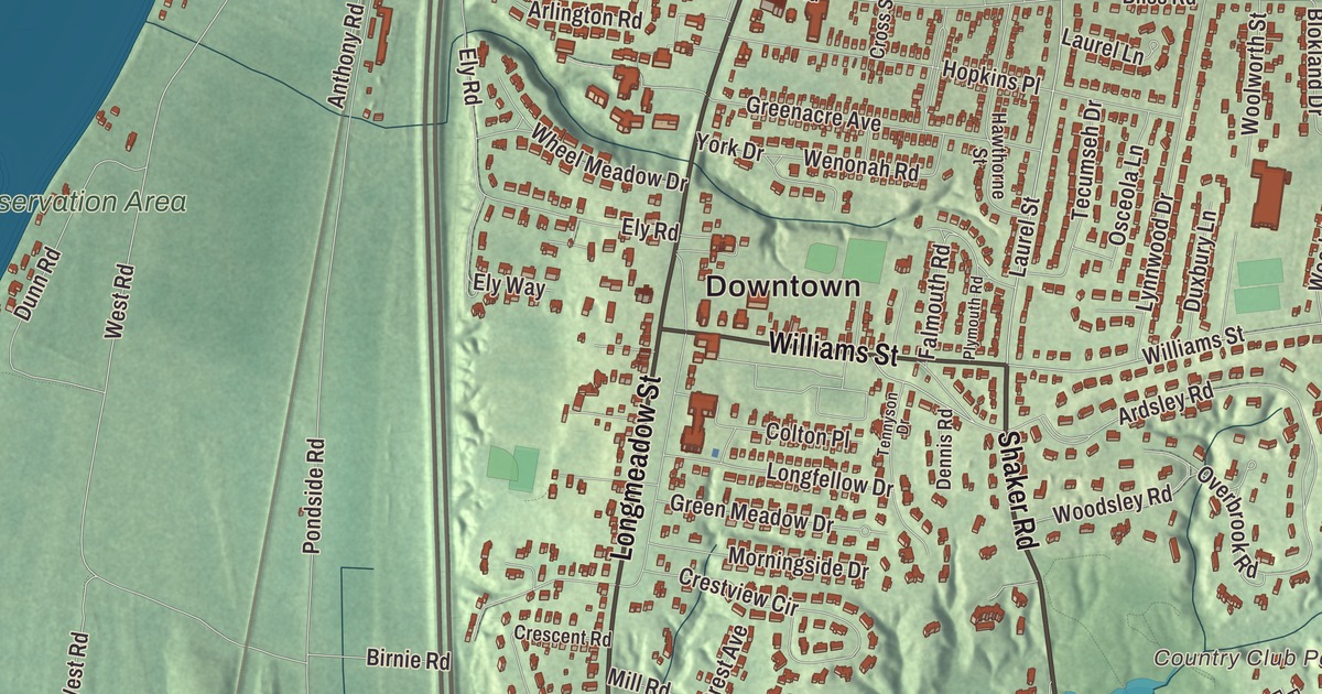
Longmeadow folks measure the town by the Green, the long, tree-lined park down the middle of Longmeadow Street, with the old houses set well back on either side and the Connecticut River flats out to the west. This map prints Longmeadow Street, Williams Street, Laurel Street, Shaker Road, Brookside Drive and South Park Avenue, with Cranberry Pond, Shaker Pond, Turret Park Pond and the Fannie Stebbins Preserve. Click here to purchase a print of this map for your wall.
Longmeadow is in Hampden County.
KNOWOL made this map in 2026 from public survey data and gave it the look of a vintage atlas. The river terrace and the ravines come from United States Geological Survey elevation data, and the Census Bureau supplied the streets and the town line. Longmeadow covers 9.7 square miles just south of Springfield, between the Connecticut River on the west, East Longmeadow on the east and Enfield, Connecticut, on the south, and it had 15,853 people at the 2020 census. The town page counts more than 30% of the land as permanent open space, including over 750 acres of conservation land along the river. Almost a fifth of the houses sit near a “dingle,” a steep, sandy, tree-lined ravine with a wetland at the bottom.
The long meadow
Longmeadow began as farmland inside the limits of Springfield. The Town of Longmeadow’s recorded history, in the Secretary of the Commonwealth’s list, dates European settlement to 1644, and Longmeadow was incorporated as a town in 1783, on October 17. The village green was laid out in the early 1700s on a sandy ridge about a mile east of the river, and the town center grew up around it. The First Congregational Church on the green dates to 1768, the Old Country Store to 1805, and the oldest of the more than 40 houses in the Longmeadow Historic District to 1725. The green became a park late in the 1800s, its war memorial was placed in 1931, and the district joined the National Register in 1982. The town remains part of Hampden County today.
In the 1800s and early 1900s Longmeadow was best known for its brownstone. Princeton University’s Neo-Gothic library is among the American buildings made of Longmeadow brownstone. The quarries lay in the busier East Village, and in 1894 that section split off to become East Longmeadow. The town stayed mostly pastoral until the street railway arrived around 1910, and then its population tripled in 15 years.
A mapmaker and a naturalist
Joseph Hutchins Colton was born in Longmeadow on July 5, 1800, and in 1831 he moved to New York and started a mapmaking firm that was an international leader in map publishing from 1831 to 1890. The firm’s maps came off engraved steel plates, which gave finer results than cheaper wax engravings, and they were known for their decorative borders. His firm made railroad maps, pocket maps, large wall maps and atlases, and its maps sit today in the Library of Congress and in archives across the country.
Along the river, the Fannie Stebbins Memorial Wildlife Refuge on Pondside Road protects 371 acres of Connecticut River floodplain. The Allen Bird Club set it up in 1951 in honor of Fannie Stebbins, a Springfield science teacher and naturalist who helped found the club in 1912, and the Massachusetts Audubon Society counts it an important birding area. Donald Ross designed the Longmeadow Country Club in 1922, Spalding tested its golf equipment there, and Bobby Jones, a Spalding consultant and club member, made a number of his instructional films on the course in the 1930s. Bay Path University, founded in 1897, keeps its main campus in town.
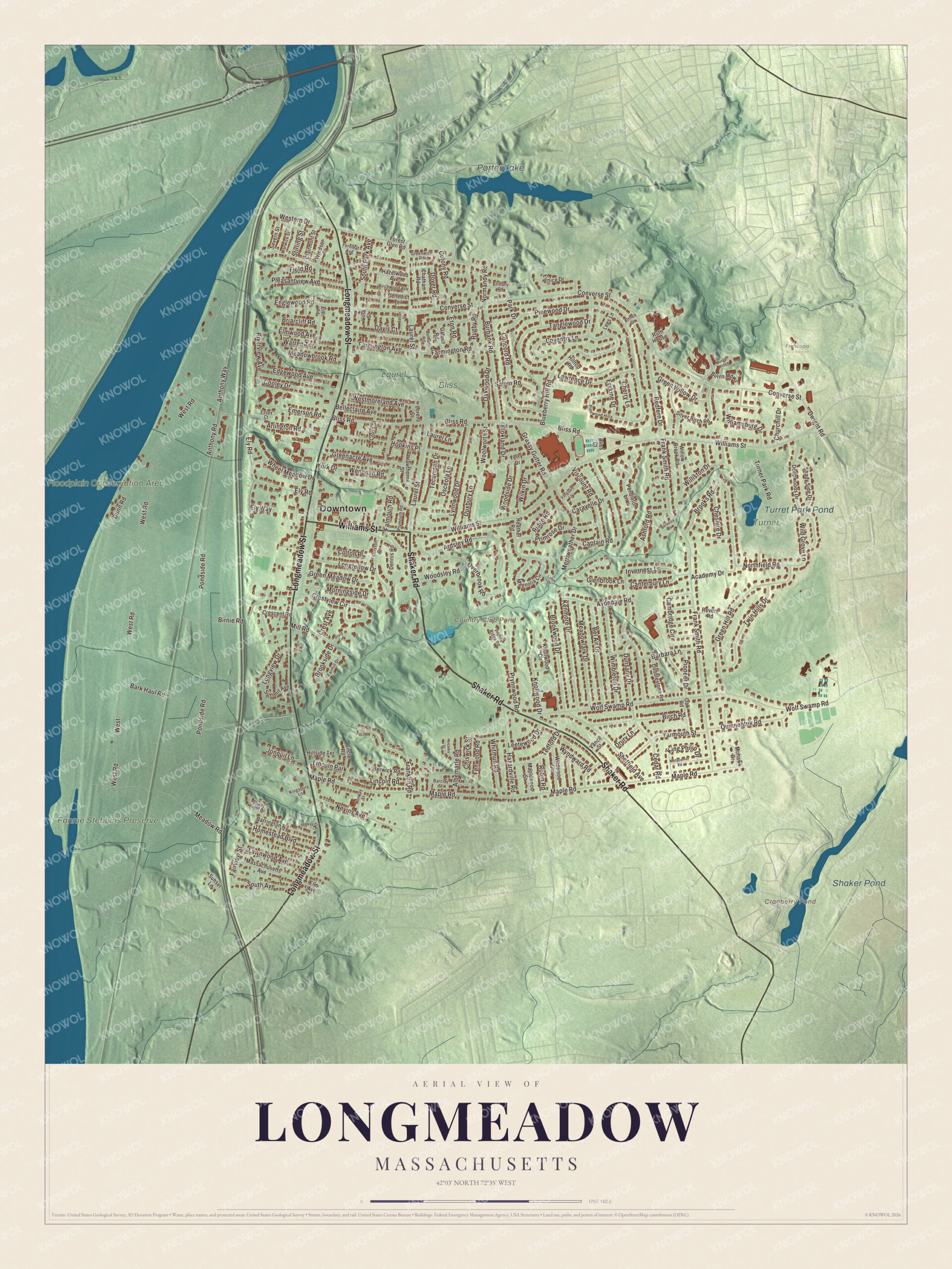
Click to explore a larger preview. The digital watermark does not appear on printed maps.
Names on this map
These names are printed on this map.
Places: Downtown, Country Club Pond, Cranberry Pond, Porter Lake, Shaker Pond, Turret Park Pond, Floodplain Conservation Area, Fannie Stebbins Preserve, Bliss Park, Franconia Golf Course, Laurel Park, Turner Park, Forest Park and Lincoln Park.
Streets and roads: Shaker Road, Longmeadow Street, Williams Street, Laurel Street, South Park Avenue, Brookside Drive, Bark Haul Road, West, West Road, Ardsley Road, Park Drive, Wolf Swamp Road.
More street names, A to Z
Academy Drive, Albemarle Road, Allen Road, Althea Drive, Anthony Road, Anthony Way, Arcadia Street, Arlington Road, Ashford Road, Avondale Road, Barbara Lane, Barclay Street, Barrington Road, Bel Air Drive, Belleclaire Avenue, Benedict Terrace, Berkeley Drive, Berwick Road, Birch Road, Birchwood Avenue, Birnie Road, Bliss Court, Bliss Road, Blokland Drive, Blueberry Hill Road, Briarcliff Road, Brittany Road, Brooks Road, Brookwood Drive, Burbank Road, Burns Mdws, Cambridge Circle, Canterbury Lane, Captain Road, Caravelle Drive, Cedar Road, Chatham Road, Cherry Lane, Cheshire Drive, Chiswick Street, Churchill Drive, Circle Road, Clairmont Street, Cobblestone Road, Colony Road, Colton Place, Concord Road, Converse Street, Cooley Drive, Coventry Lane, Crescent Road, Crest Avenue, Crestview Circle, Cross Street, Davis Court, Deepwoods Drive, Dennis Road, Dover Road, Druid Circle, Drury Lane, Dunn Road, Dunsany Drive, Durham Road, Duxbury Lane, Dwight Road, Edgewood Avenue, Edson Street, Elm Avenue, Elmwood Avenue, Ely Road, Ely Way, Emerson Road, Englewood Road, Erskine Drive, Essex Court, Eton Road, Eunice Drive, Fairhill Drive, Fairview Street, Falmouth Road, Farmington Avenue, Farmington Road, Fenwood Road, Fernleaf Avenue, Field Road, Forest Glen Road, Franklin Road, Frank Smith Road, Glenbrook Lane, Grassy Gutter Road, Greenacre Avenue, Green Hill Road, Green Meadow Drive, Greenwich Road, Green Willow Drive, Hawthorne Street, Hazardville Road, Hazelwood Avenue, Heather Road, Hillside Terrace, Hilltop Road, Homestead Boulevard, Hopkins Place, Inverness Lane, Jonquil Lane, Kenmore Drive, King Philip Drive, Kingsbury Lane, Knollwood Circle, Knollwood Drive, Laurel Lane, Lawnwood Avenue, Lawrence Drive, Lees Lane, Leetewood Drive, Lincoln Road, Longfellow Drive, Longview Drive, Lorenz Street, Lotus Drive, Lynnwood Drive, Magnolia Circle, Maple Road, Maplewood Street, Massachusetts Avenue, Meadowbrook Road, Meadowlark Drive, Meadow Road, Merriweather Drive, Metacomet Road, Mill Road, Mohawk Drive, Morgan Ridge, Morningside Drive, Nevins Avenue, Normandy Road, Northfield Road, Norway Street, Oak Road, Oakwood Drive, Osceola Lane, Overbrook Road, Oxford Road, Pendleton Lane, Pinewood Drive, Pinewood Hills, Pioneer Drive, Pleasantview Avenue, Plymouth Road, Pondside Road, Primrose Drive, Prynne Ridge Road, Prynnwood Road, Quinnehtuk Road, Redfern Drive, Revere Road, Ridge Road, Ridgeway Circle, Riverview Avenue, Robin Road, Rugby Road, Ruth House, Salem Road, Severn Street, Shady Knoll Drive, Shady Side Drive, Sheffield Avenue, Silver Birch Road, South Avenue, Stirling Street, Summit Avenue, Sunset Lane, Tanglewood Drive, Tecumseh Drive, Tedford Drive, Tennyson Drive, Terry Drive, Turner Park Road, Twin Hills Drive, Vance Street, Vanguard Lane, Villa Street, Viscount Road, Warren Terrace, Warwick Street, Wenonah Road, Western Drive, Westmoreland Avenue, Wheel Meadow Drive, Whitmun Road, Wild Grove Lane, Wildwood Gln, Wilkin Drive, Williamsburg Drive, Williston Drive, Willow Brook Road, Wimbleton Drive, Windsor Place, Woodside Drive, Woodsley Road, Woolworth Street, Wyndward Road, Yarmouth Street, York Drive.
Around the map
Start at the Green on Longmeadow Street. Follow Shaker Road, Longmeadow Street, Williams Street, Laurel Street, South Park Avenue and Brookside Drive across town. Cranberry Pond, Porter Lake, Shaker Pond, Turret Park Pond, the Floodplain Conservation Area, South Park and the Fannie Stebbins Preserve are all printed on the map. Porter Lake lies in Springfield’s Forest Park, the 735-acre park that forms the town’s northern border, much of it on land that once belonged to Longmeadow.
The Longmeadow map makes a fine addition to an office, library or den, and it can help teach children the geography and history of the town where J. H. Colton was born. It’s made for people who call Longmeadow home, from the Green to the river meadows, and it shows the town as it looks today. Zoom in on the preview above to explore the details, then click here to get your copy of the Longmeadow, Massachusetts map.

We made a map for every town and city in Massachusetts. Explore the complete Massachusetts map collection and find your town.
Sources